| Parent directory/ | - | - |
| abi_rgb_Shortwave_Window_Band_map.png | 15497073 | 2026-Jun-06 04:13 |
| abi_rgb_Shortwave_Window_Band.png | 15448956 | 2026-Jun-06 04:13 |
| abi_rgb_Infrared_Longwave_Window_Band_map.png | 14155000 | 2026-Jun-06 04:24 |
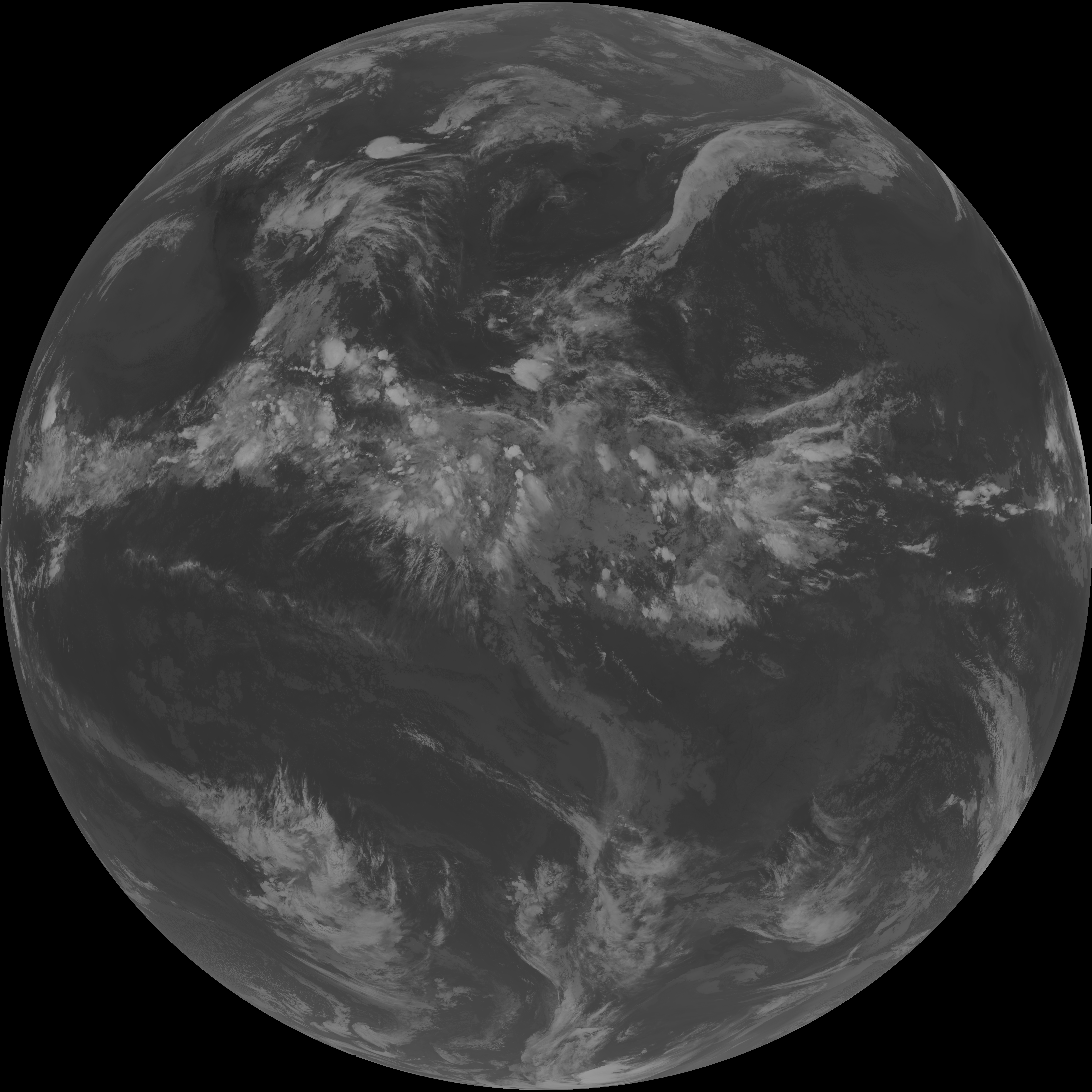
| abi_rgb_Infrared_Longwave_Window_Band.png | 14112039 | 2026-Jun-06 04:24 |
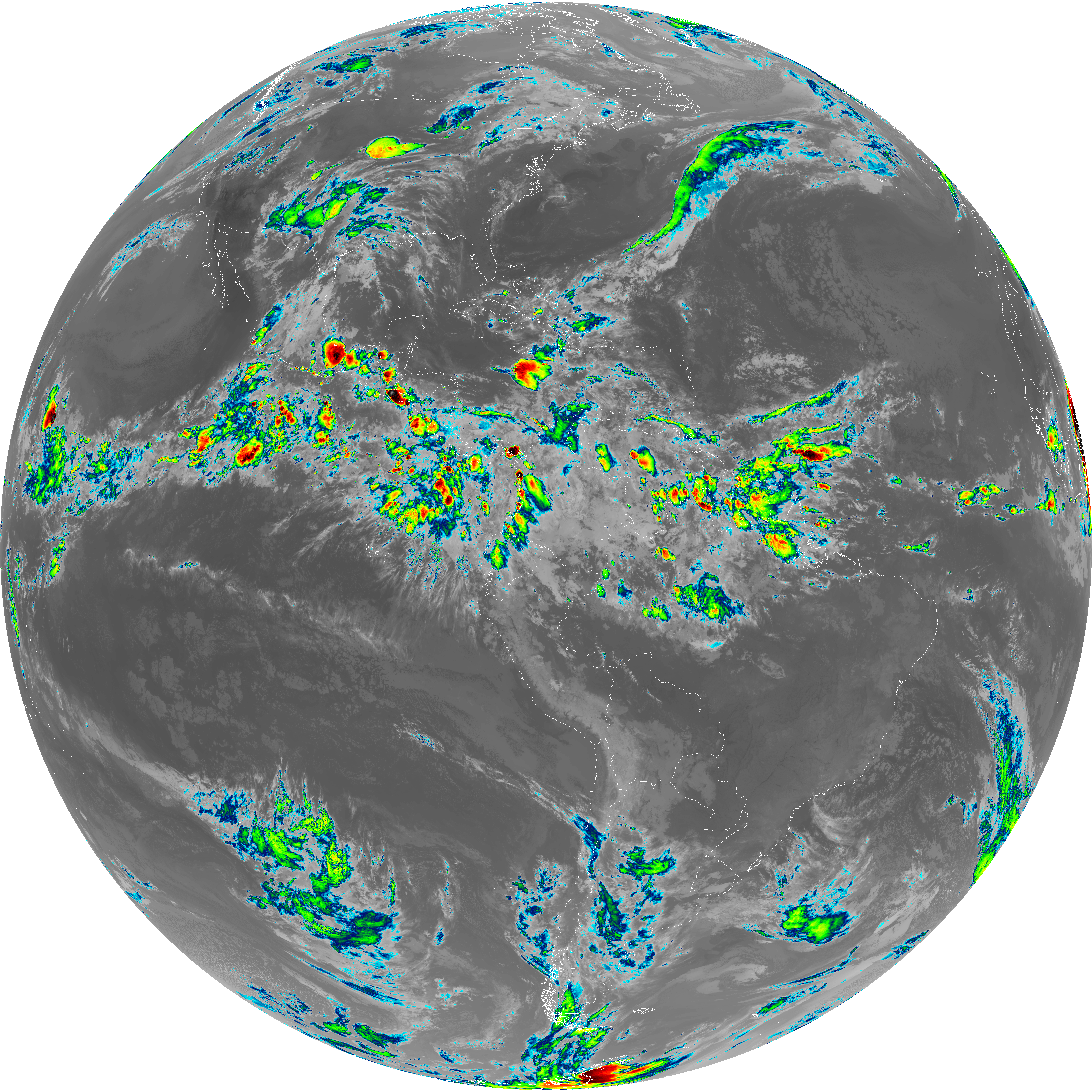
| abi_rgb_Clean_Longwave_IR_Window_Band_map.png | 13975420 | 2026-Jun-06 04:16 |
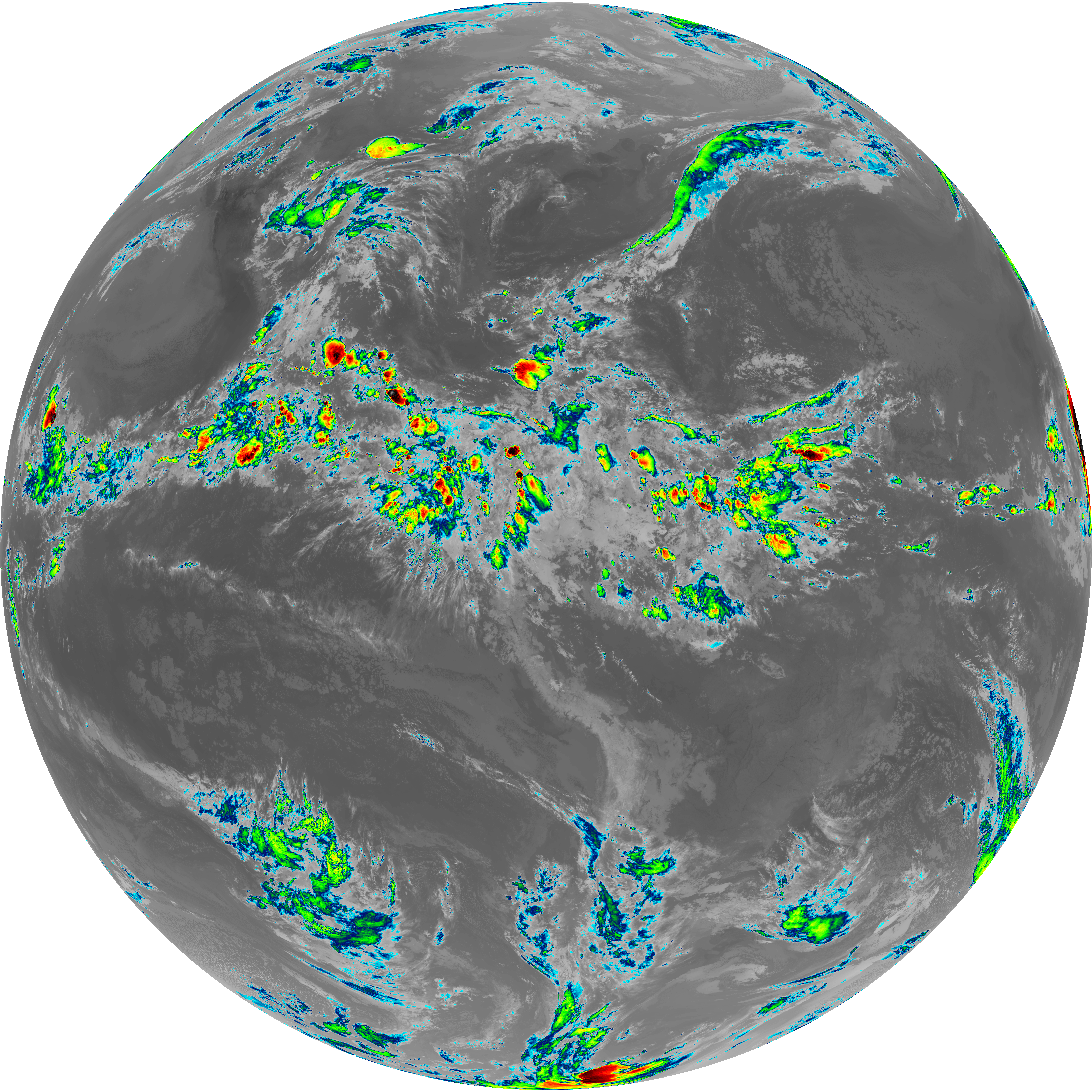
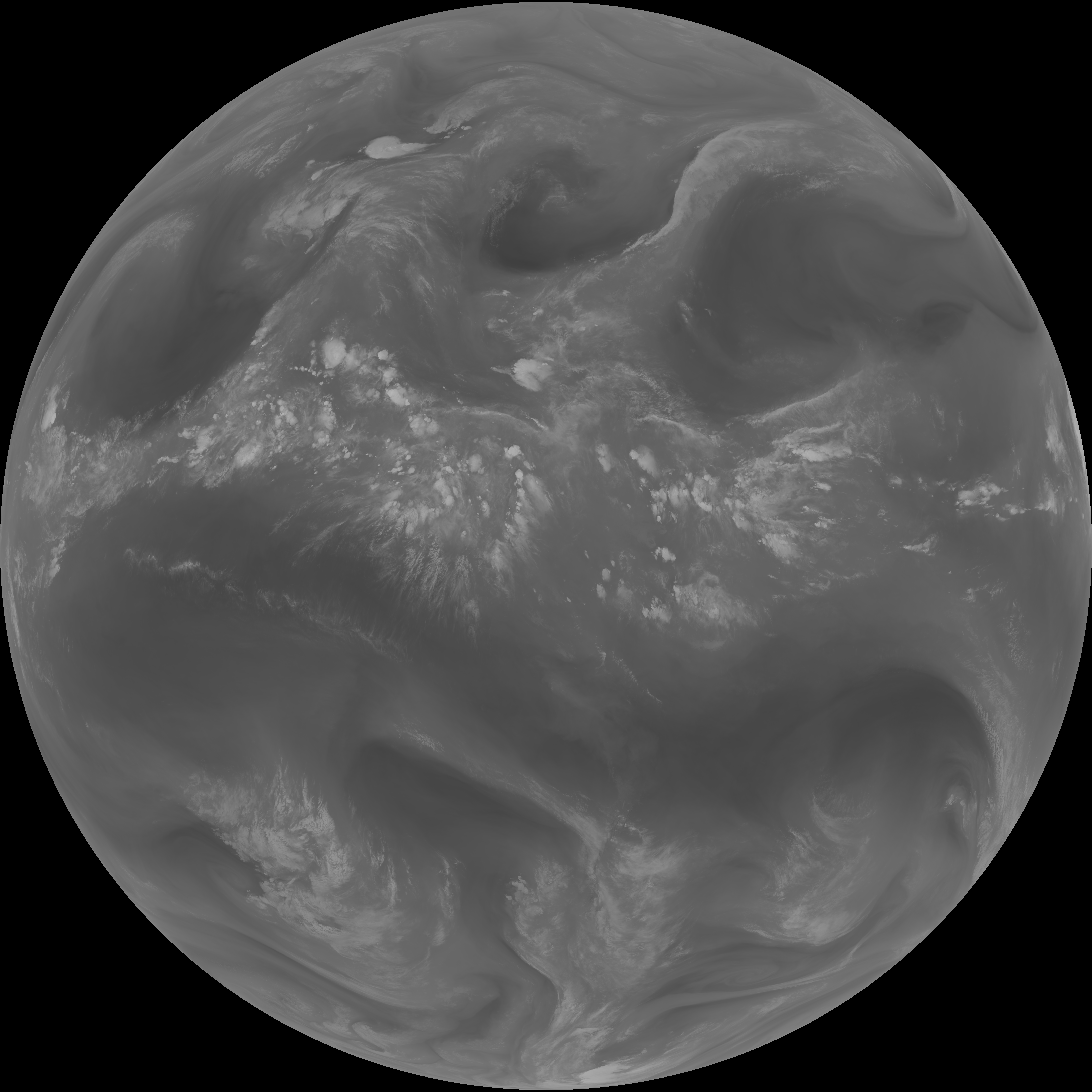
| abi_rgb_Clean_Longwave_IR_Window_Band.png | 13930583 | 2026-Jun-06 04:16 |
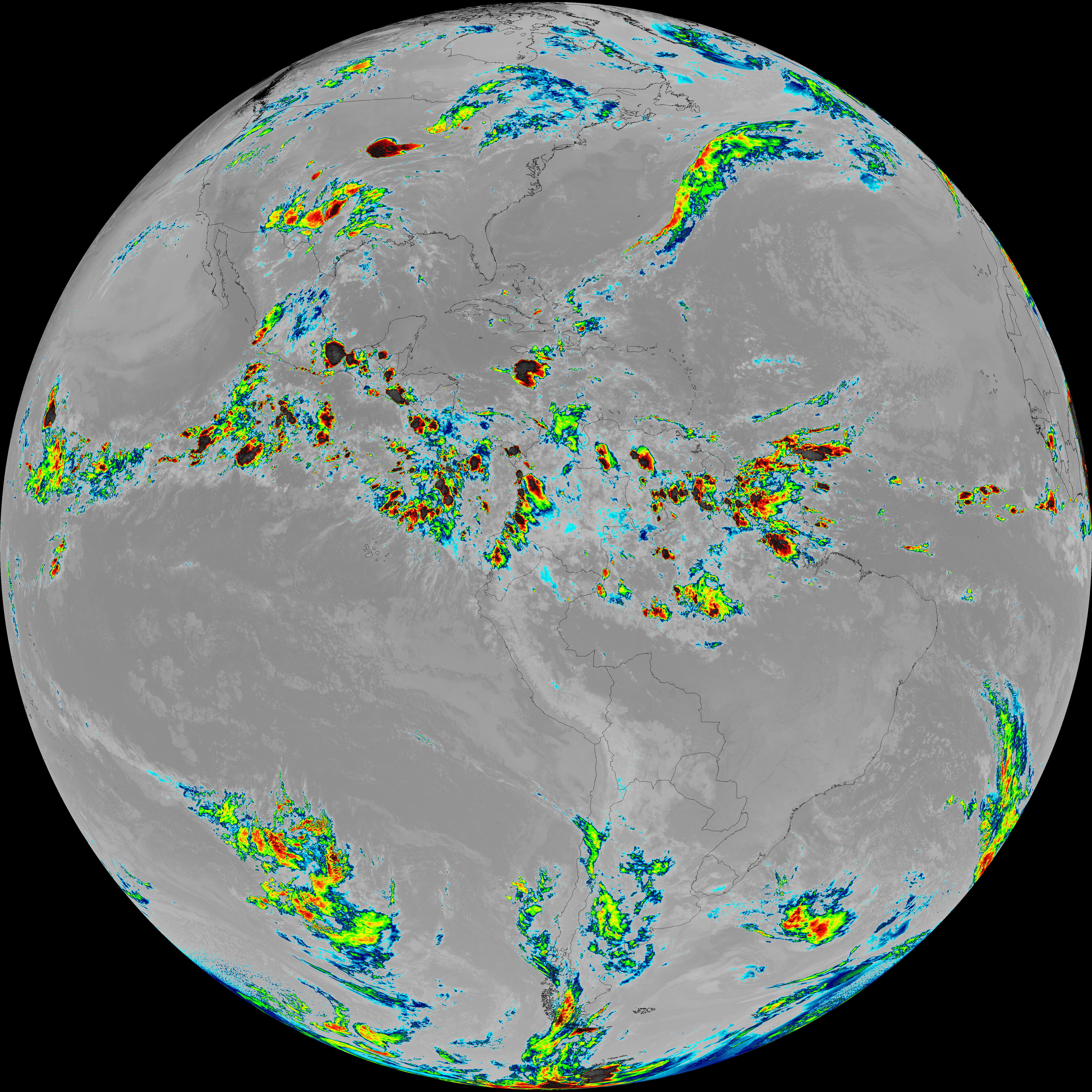
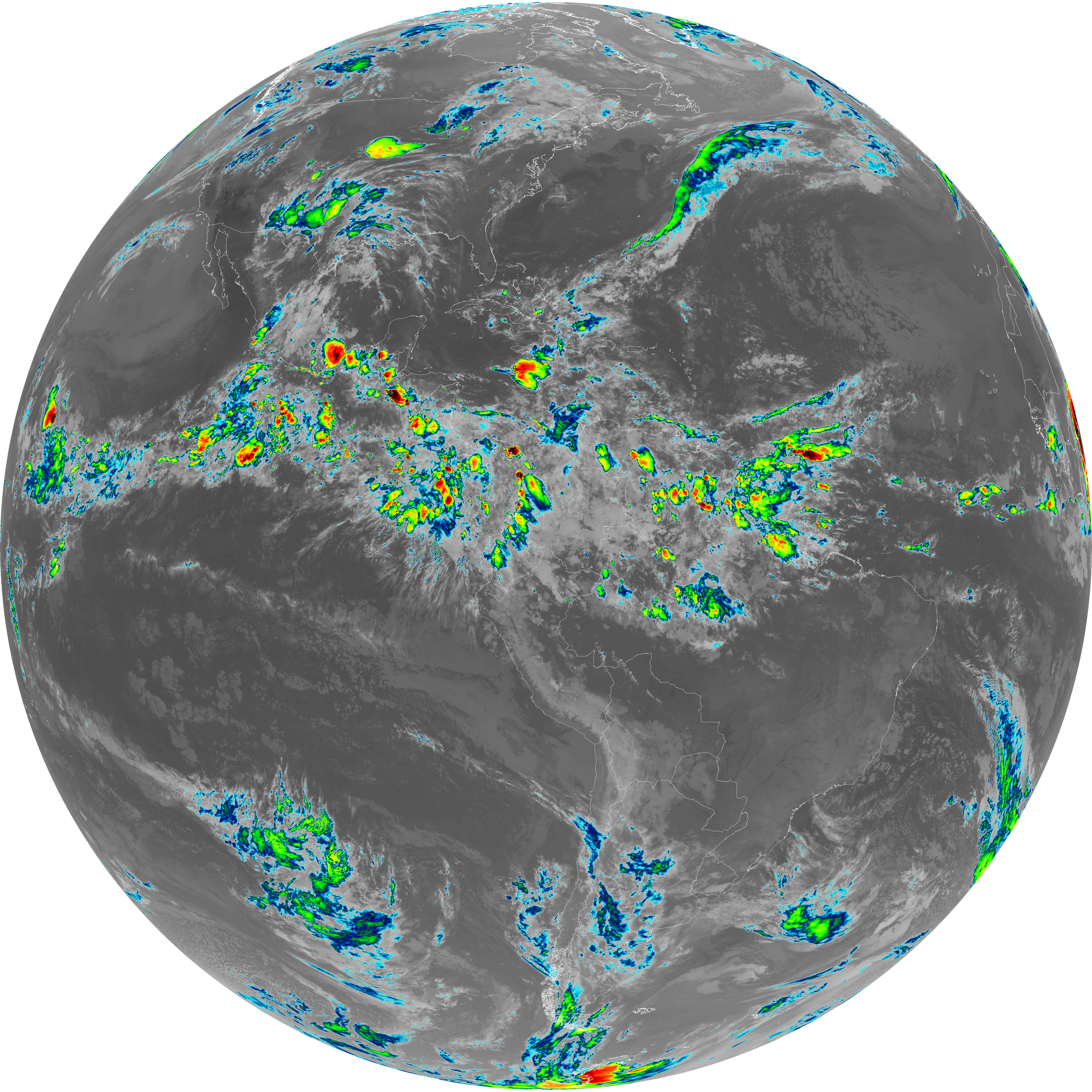
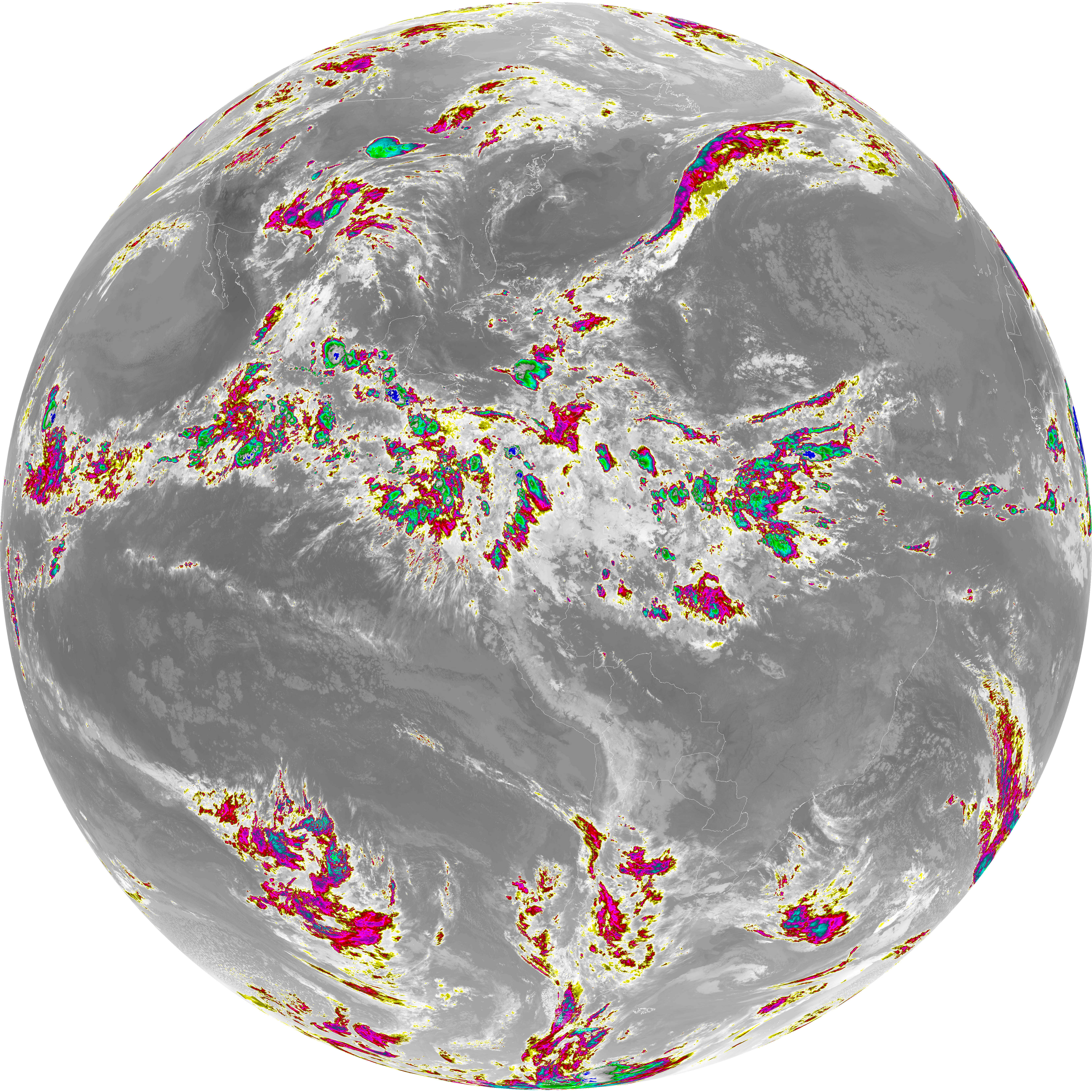
| abi_rgb_Dirty_Longwave_Window_map.png | 13848986 | 2026-Jun-06 04:27 |
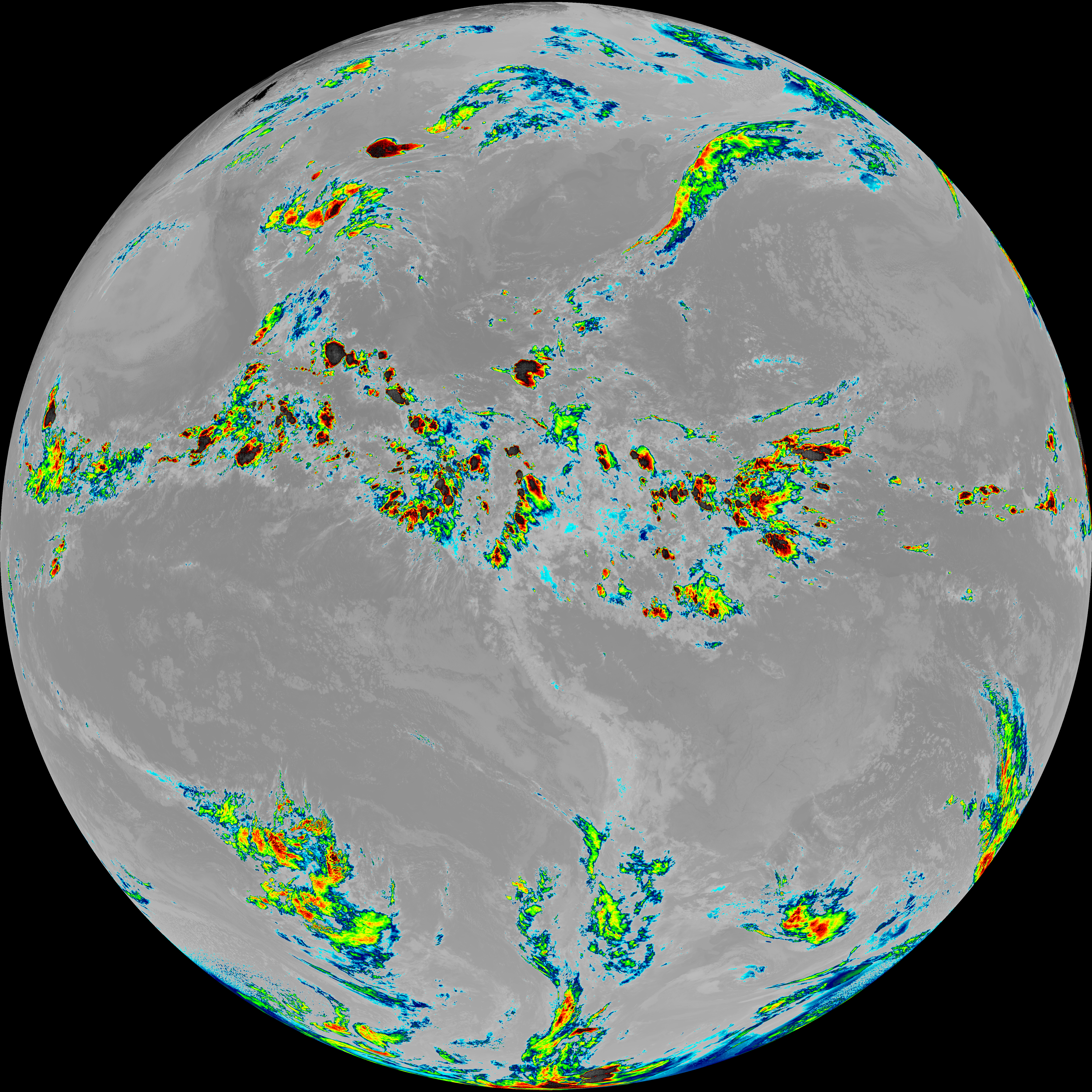
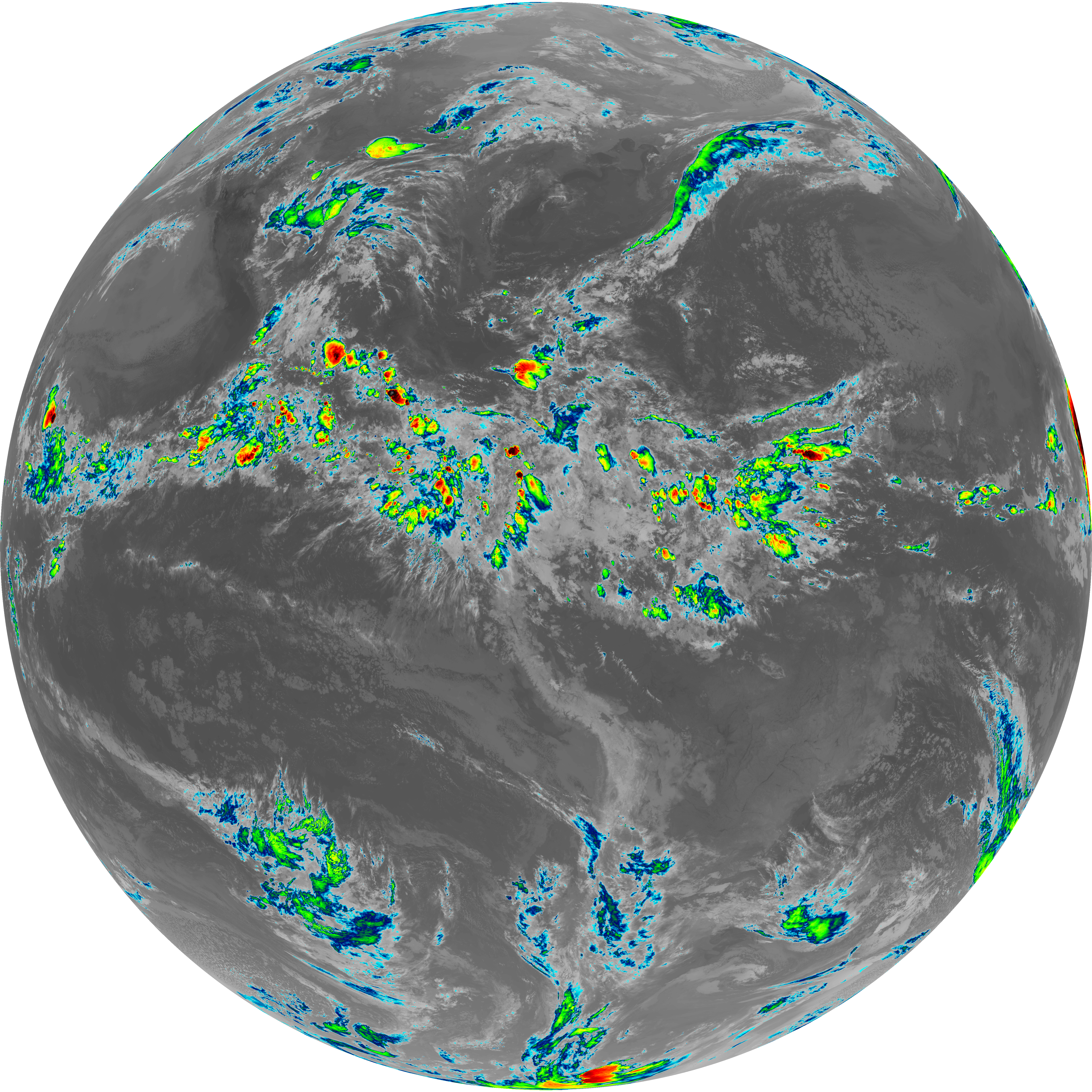
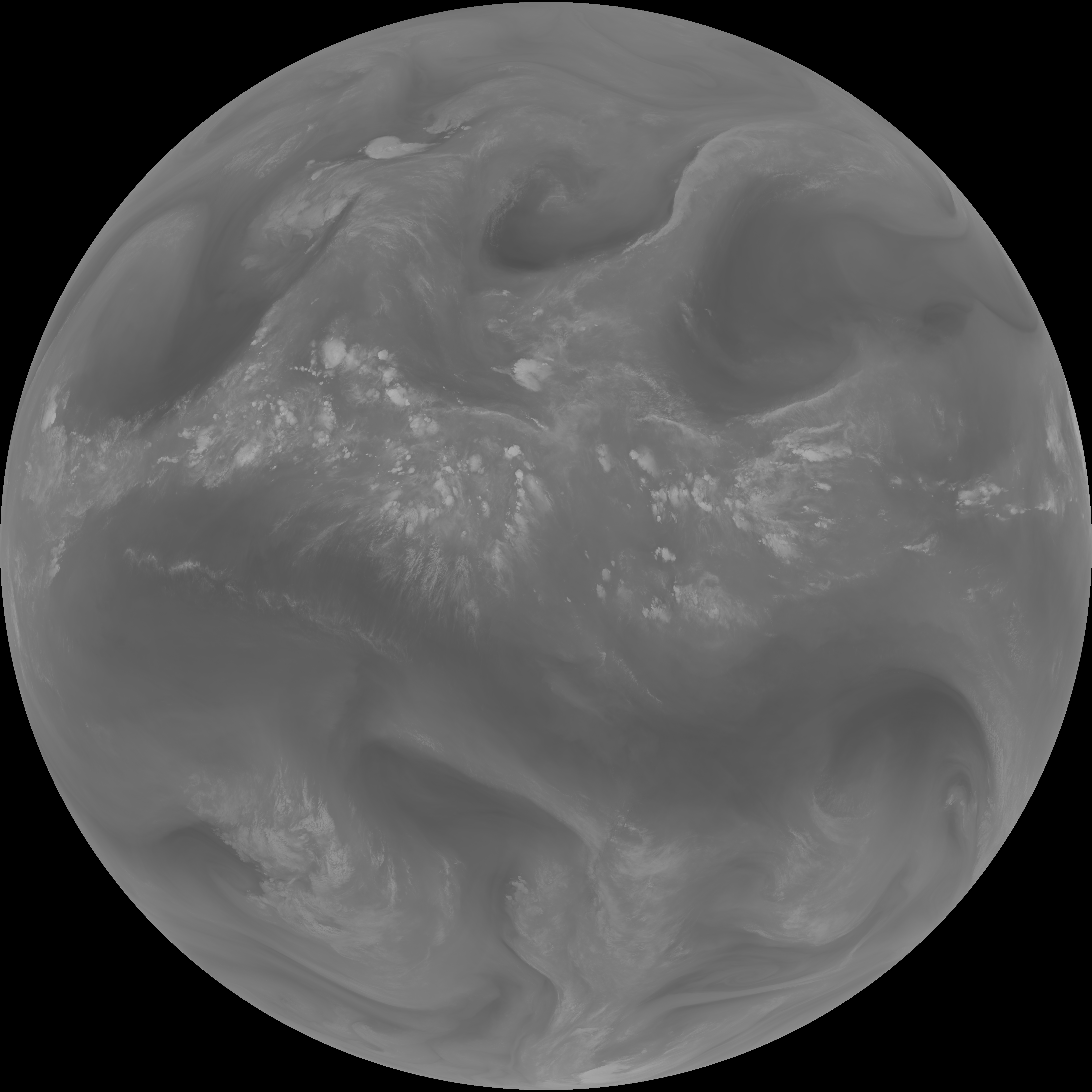
| abi_rgb_Dirty_Longwave_Window.png | 13802134 | 2026-Jun-06 04:27 |
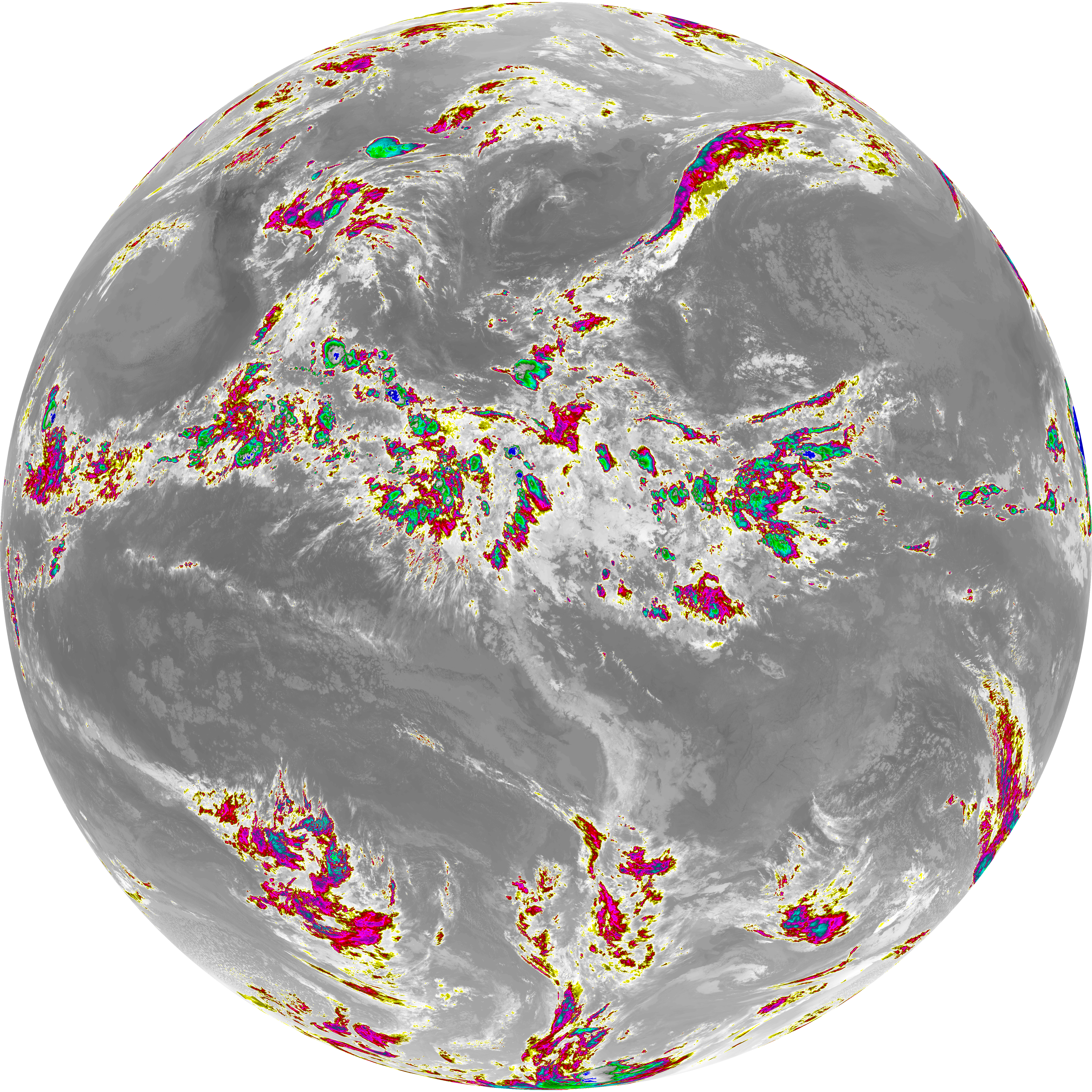
| abi_rgb_Dirty_Longwave_Window_-_CIRA_map.png | 12209775 | 2026-Jun-06 04:27 |
| abi_rgb_Dirty_Longwave_Window_-_CIRA.png | 12150782 | 2026-Jun-06 04:27 |
| G19_7_20260606T040021Z.png | 11267788 | 2026-Jun-06 04:13 |
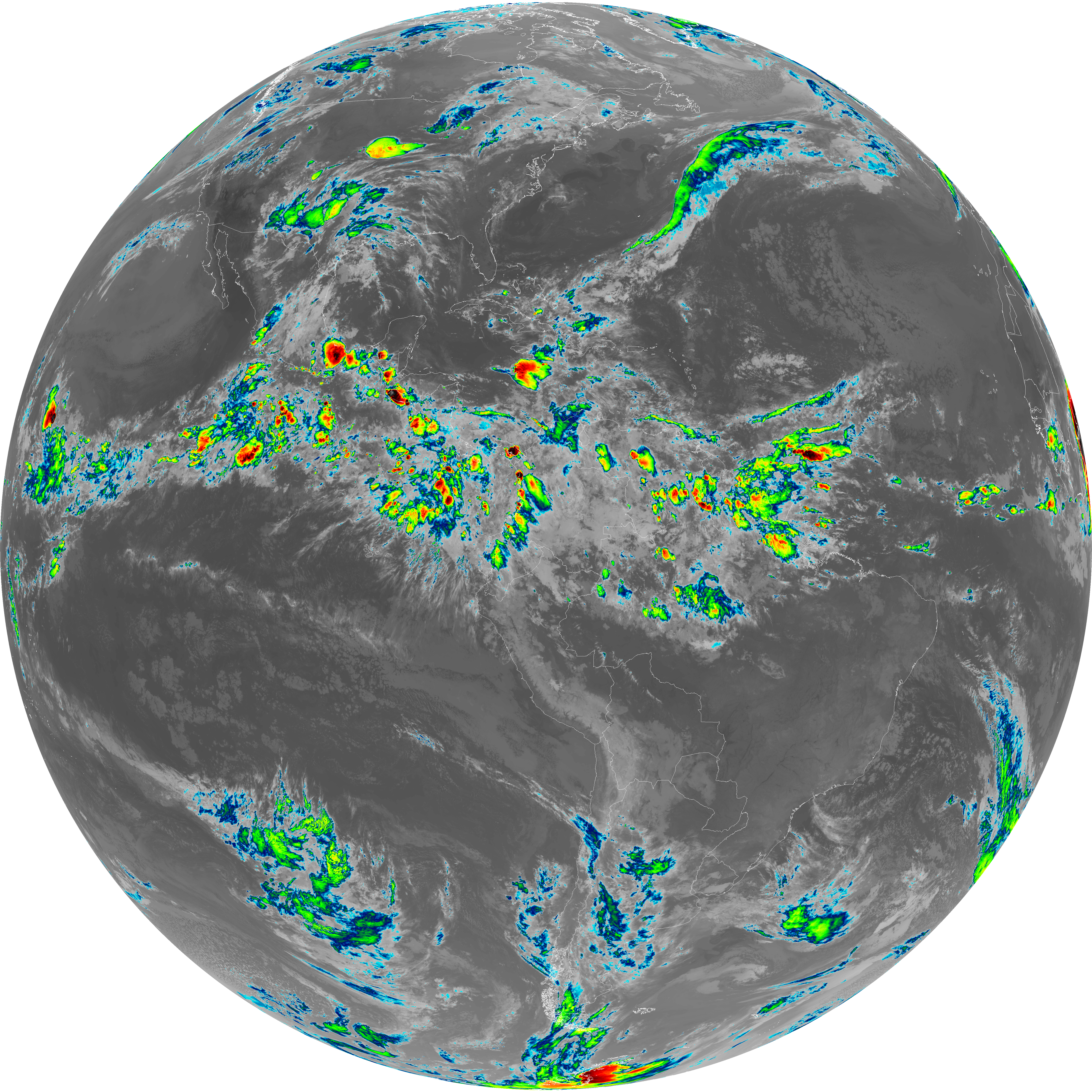
| G19_14_20260606T040021Z.png | 10557776 | 2026-Jun-06 04:23 |
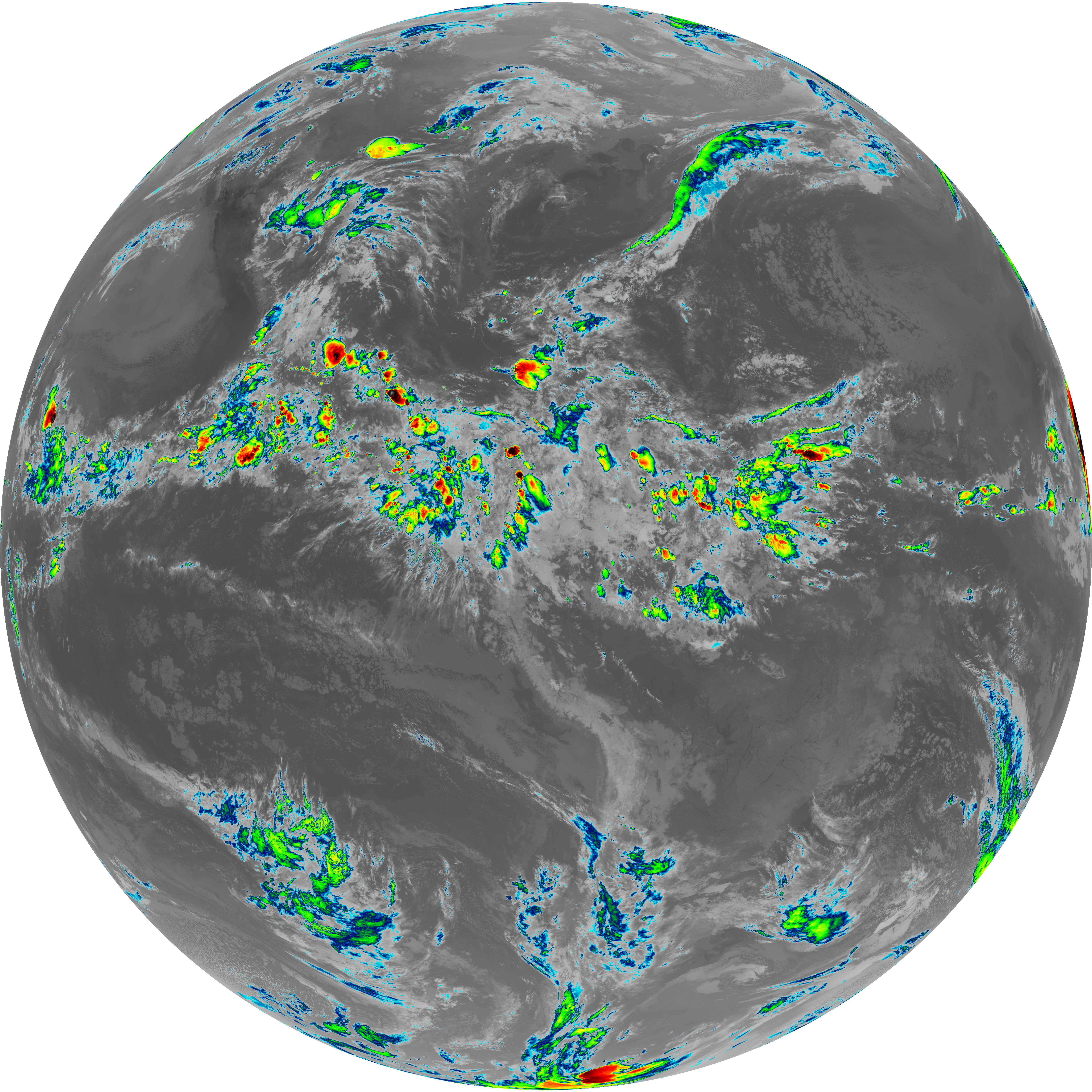
| G19_13_20260606T040021Z.png | 10398232 | 2026-Jun-06 04:16 |
| G19_15_20260606T040021Z.png | 10297782 | 2026-Jun-06 04:26 |
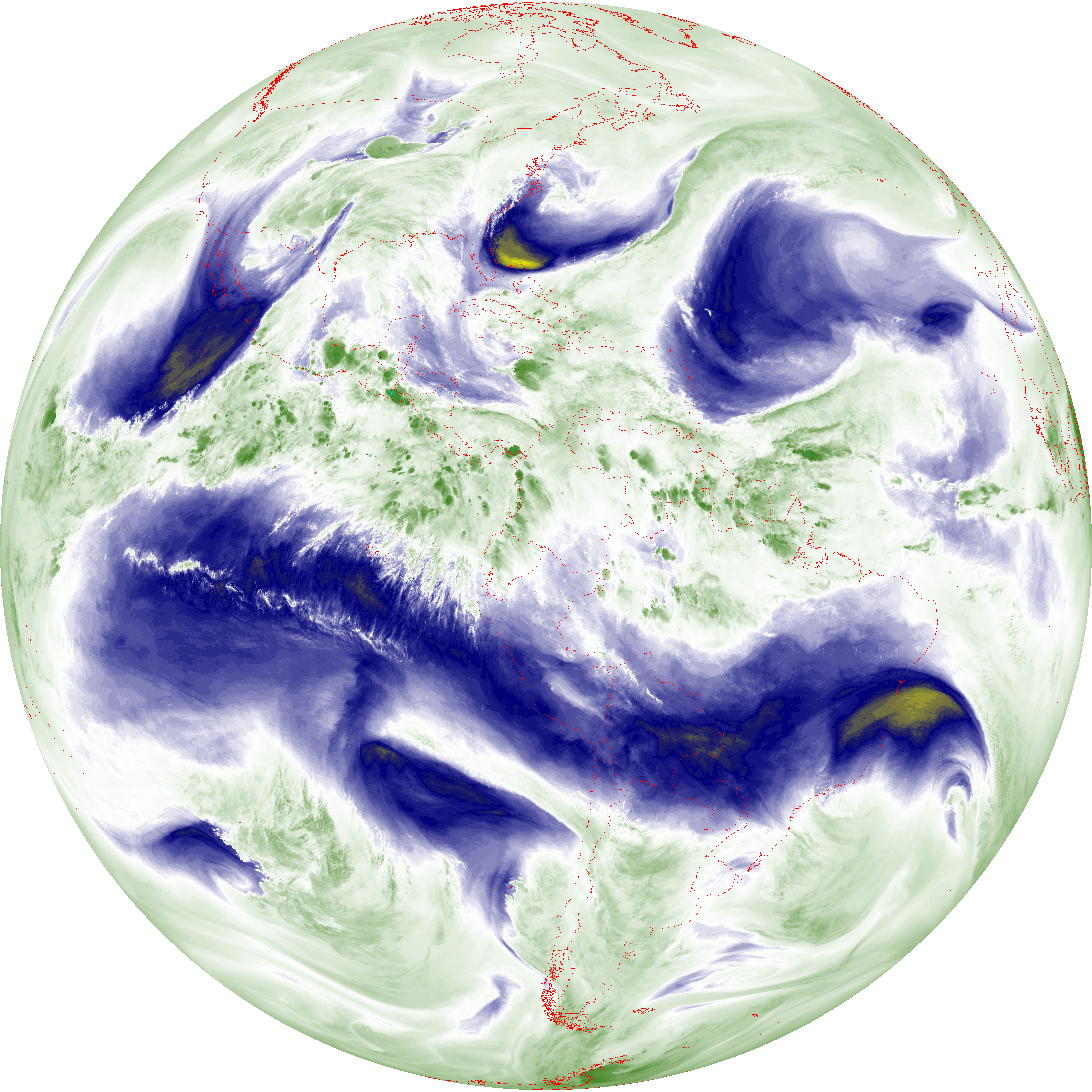
| abi_rgb_Mid-level_Tropospheric_Water_Vapor_map.png | 8830583 | 2026-Jun-06 04:20 |
| abi_rgb_Mid-level_Tropospheric_Water_Vapor.png | 8729866 | 2026-Jun-06 04:20 |
| abi_rgb_Upper-Level_Tropospheric_Water_Vapor_map.png | 7583009 | 2026-Jun-06 04:18 |
| abi_rgb_Upper-Level_Tropospheric_Water_Vapor.png | 7471428 | 2026-Jun-06 04:18 |
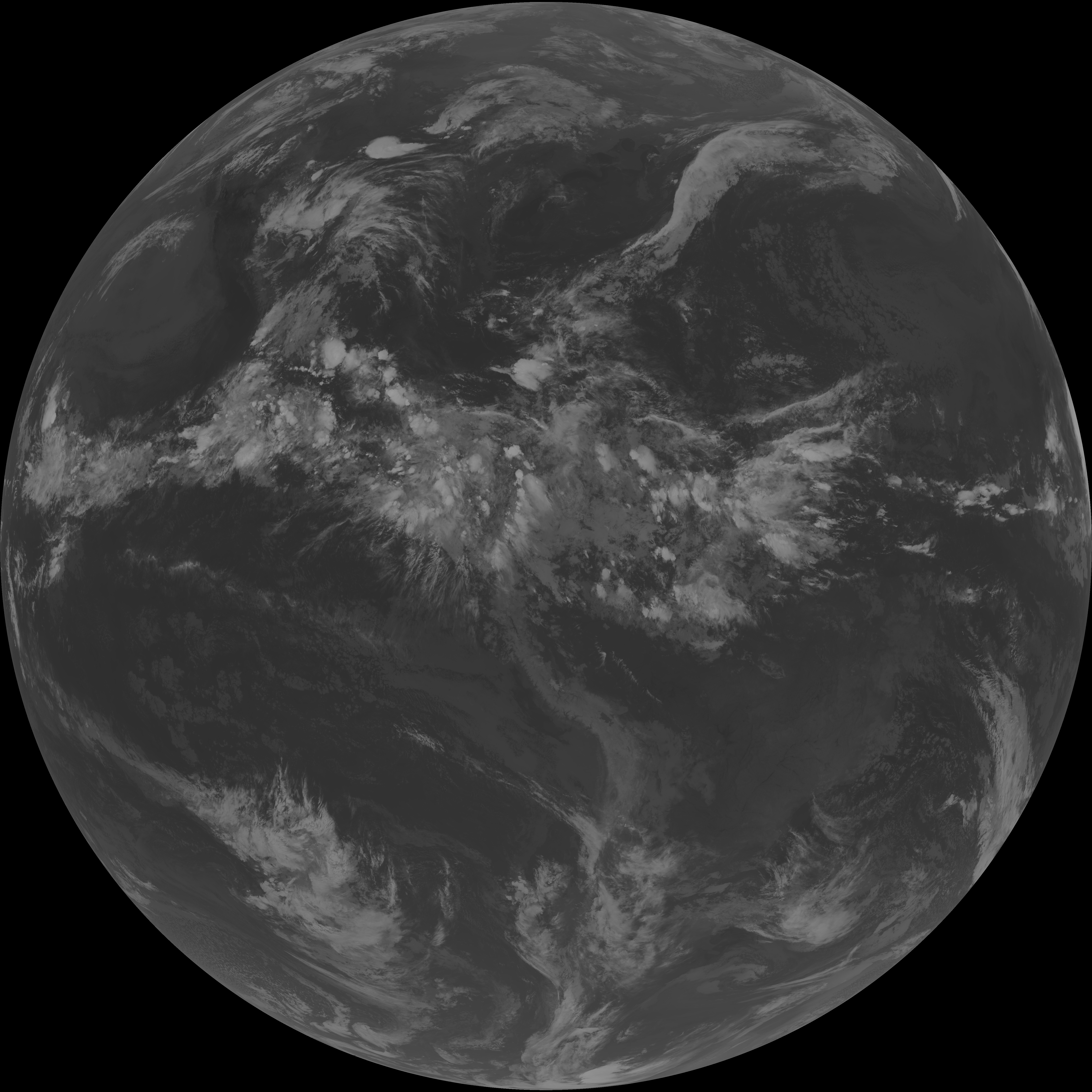
| G19_9_20260606T040021Z.png | 6505199 | 2026-Jun-06 04:20 |
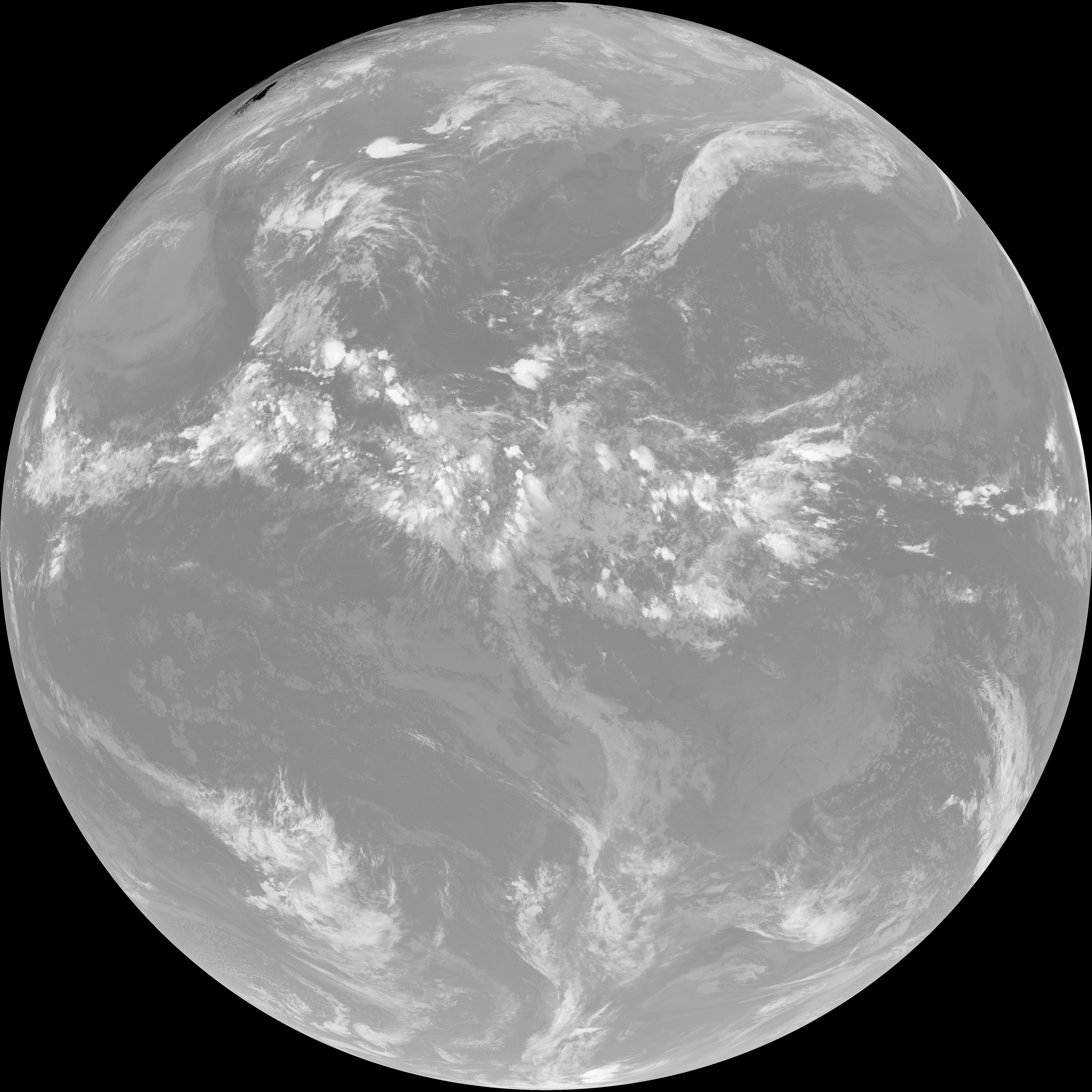
| G19_8_20260606T040021Z.png | 5583963 | 2026-Jun-06 04:18 |
| G19_2_20260606T040021Z.png | 570741 | 2026-Jun-06 04:16 |