| Parent directory/ | - | - |
| G19_2_20260606T043021Z.png | 409340 | 2026-Jun-06 04:46 |
| G19_8_20260606T043021Z.png | 5578790 | 2026-Jun-06 04:48 |
| G19_9_20260606T043021Z.png | 6495322 | 2026-Jun-06 04:50 |
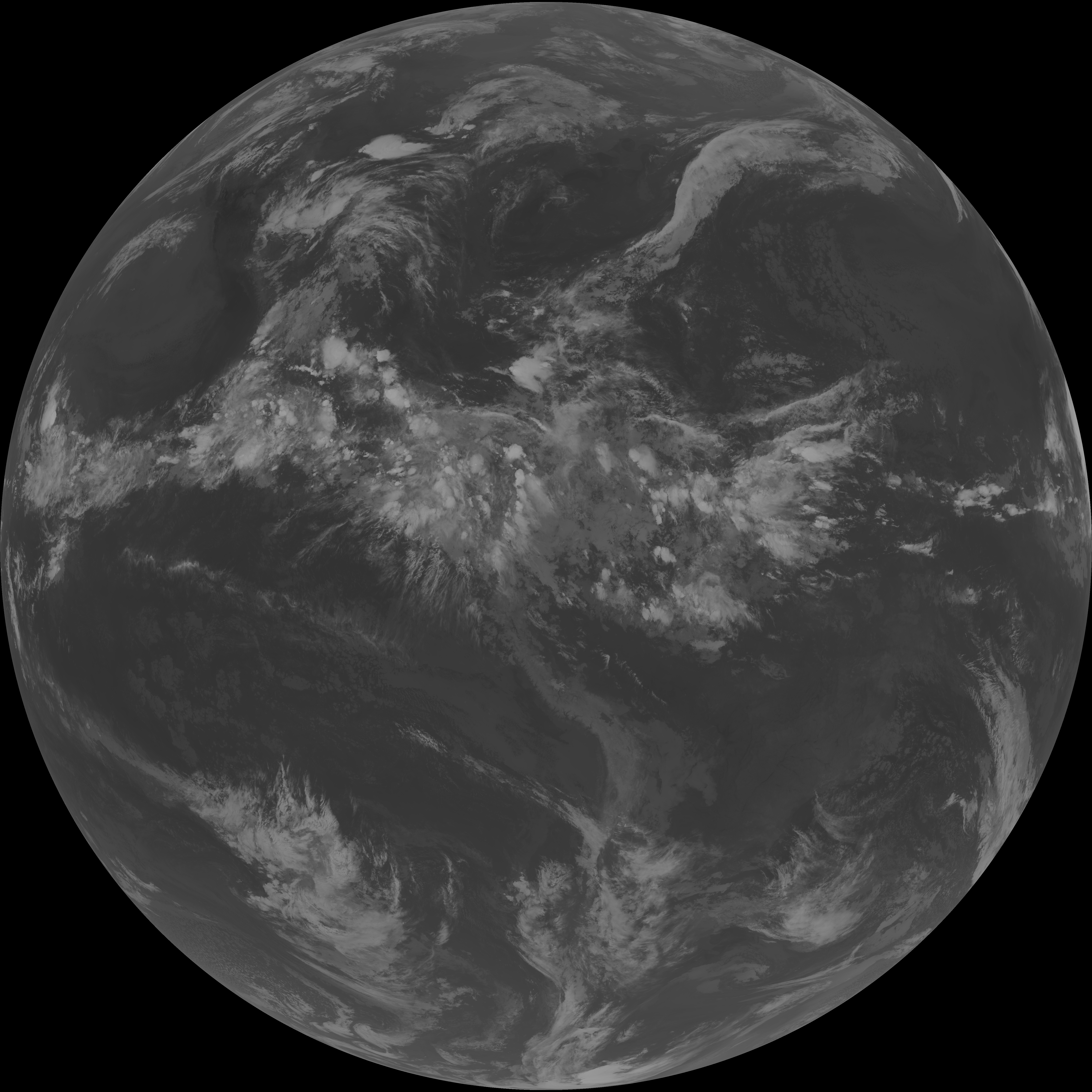
| abi_rgb_Upper-Level_Tropospheric_Water_Vapor.png | 7459956 | 2026-Jun-06 04:48 |
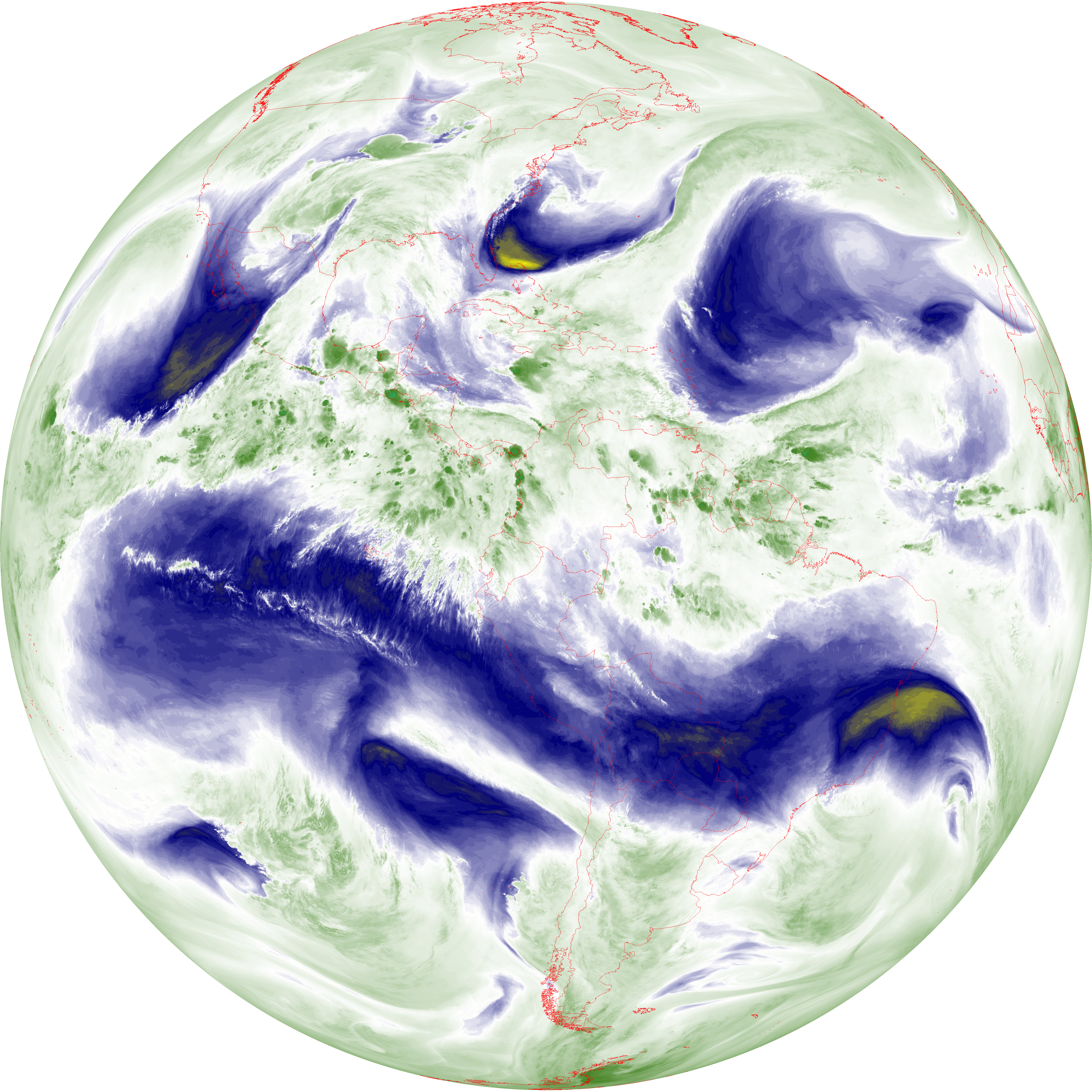
| abi_rgb_Upper-Level_Tropospheric_Water_Vapor_map.png | 7570925 | 2026-Jun-06 04:48 |
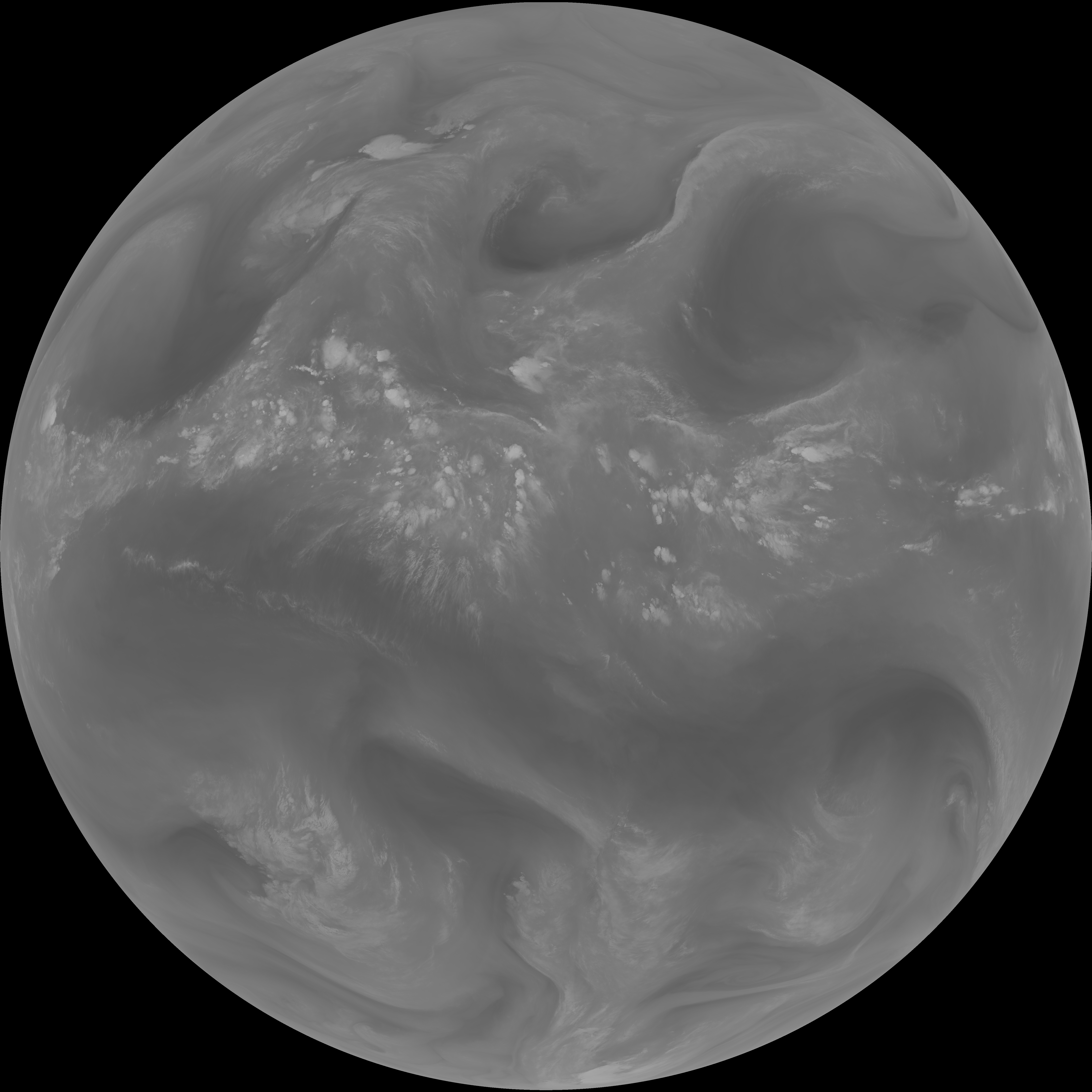
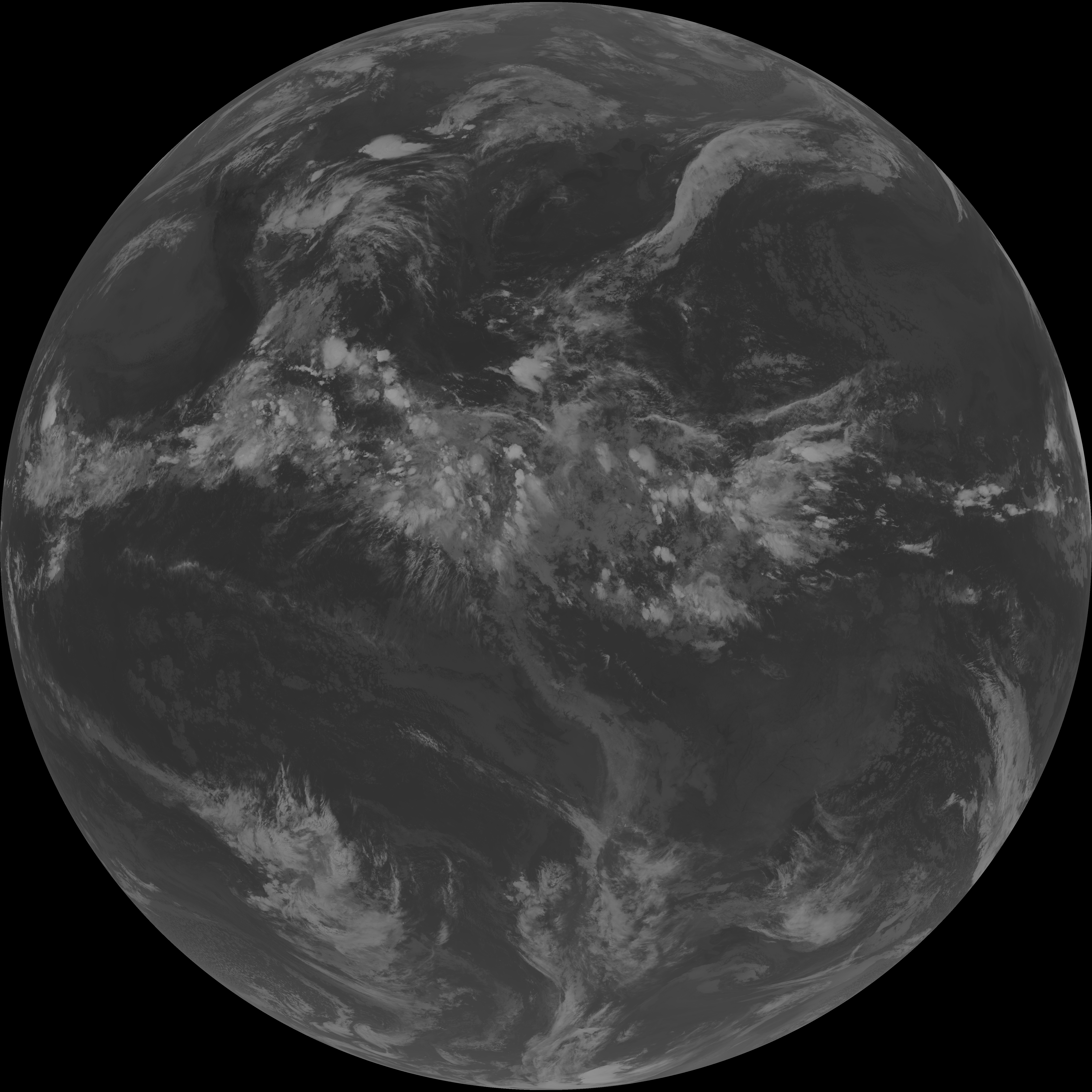
| abi_rgb_Mid-level_Tropospheric_Water_Vapor.png | 8711098 | 2026-Jun-06 04:50 |
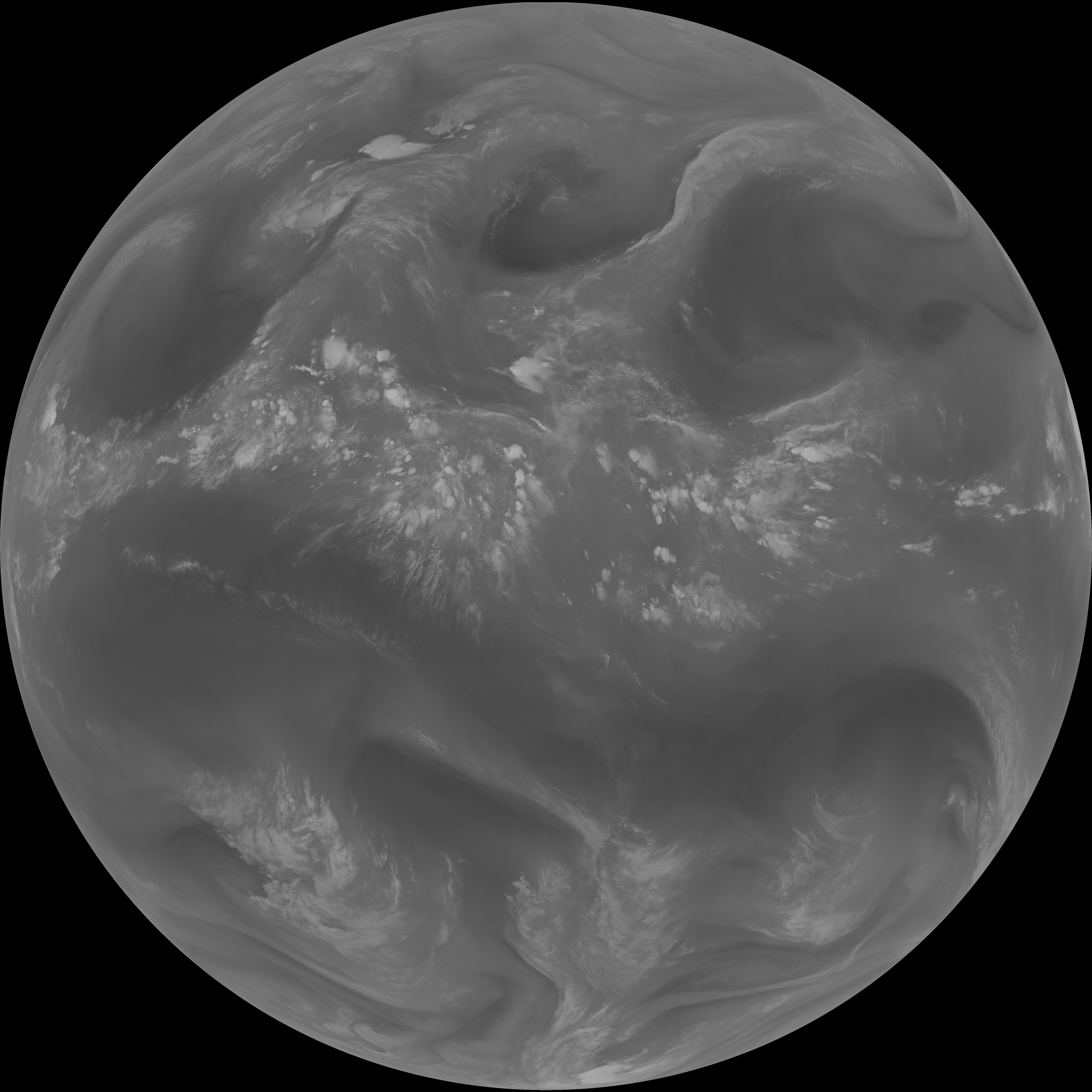
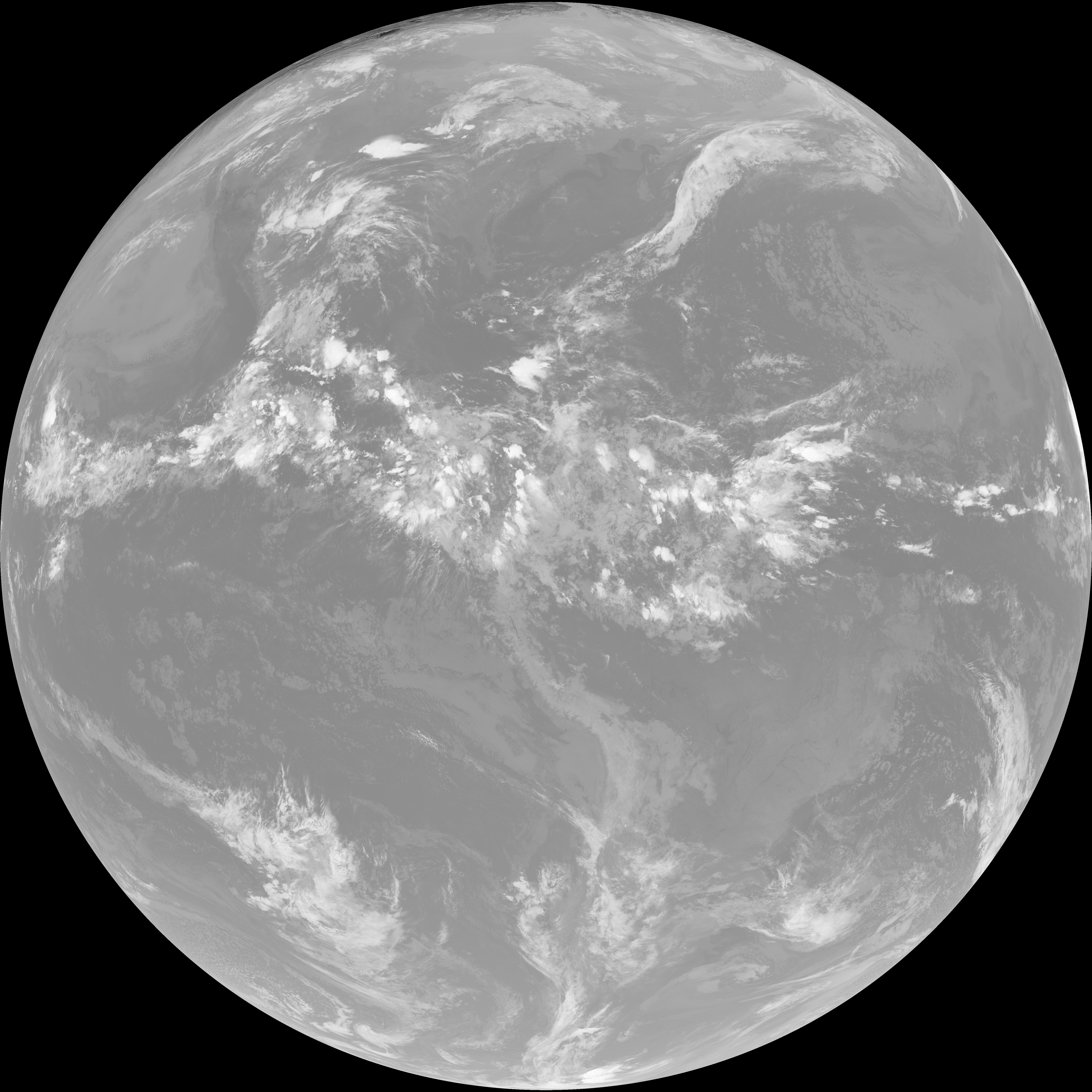
| abi_rgb_Mid-level_Tropospheric_Water_Vapor_map.png | 8811123 | 2026-Jun-06 04:50 |
| G19_15_20260606T043021Z.png | 10308305 | 2026-Jun-06 04:56 |
| G19_13_20260606T043021Z.png | 10409063 | 2026-Jun-06 04:46 |
| G19_14_20260606T043021Z.png | 10565384 | 2026-Jun-06 04:53 |
| G19_7_20260606T043021Z.png | 11235449 | 2026-Jun-06 04:43 |
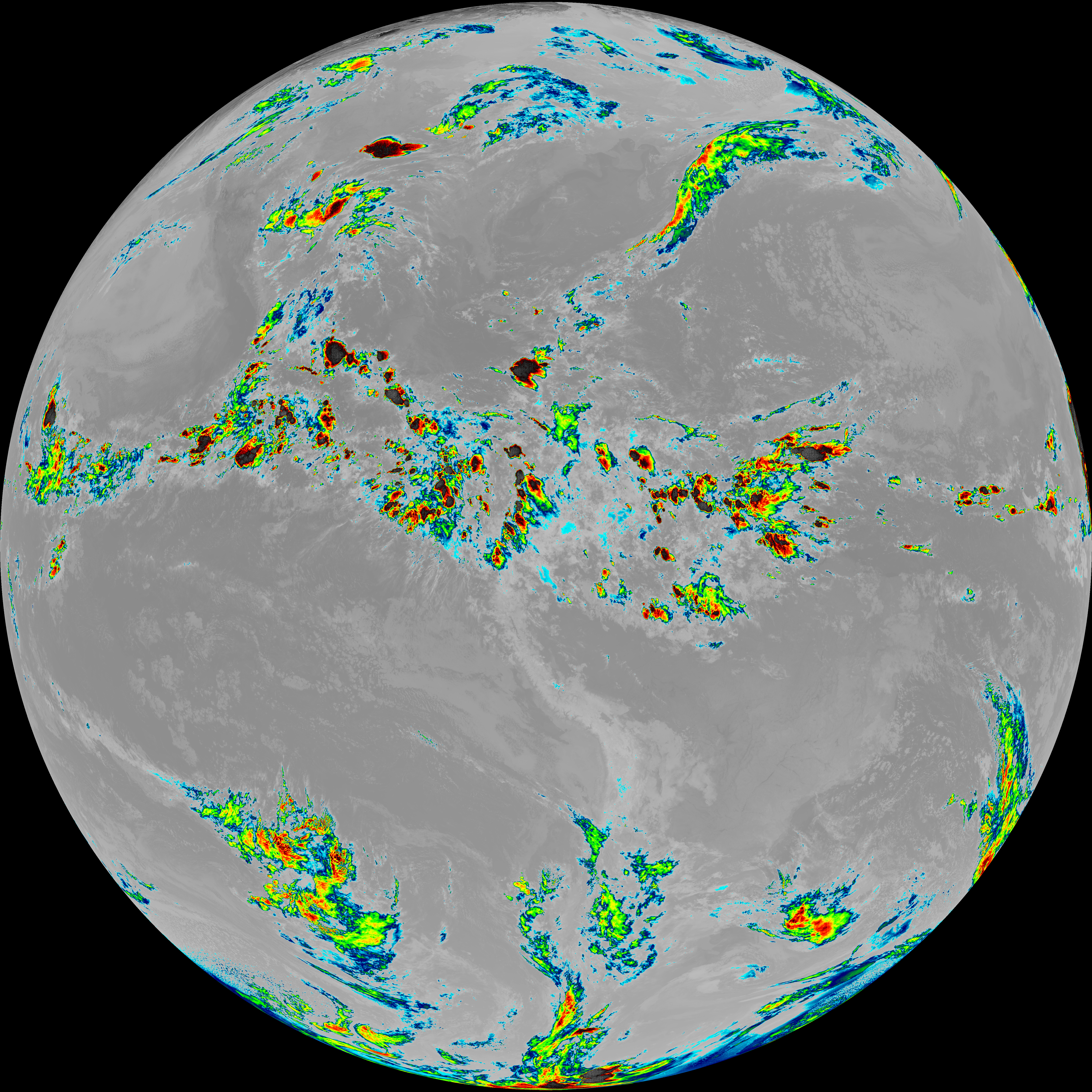
| abi_rgb_Dirty_Longwave_Window_-_CIRA.png | 12149530 | 2026-Jun-06 04:56 |
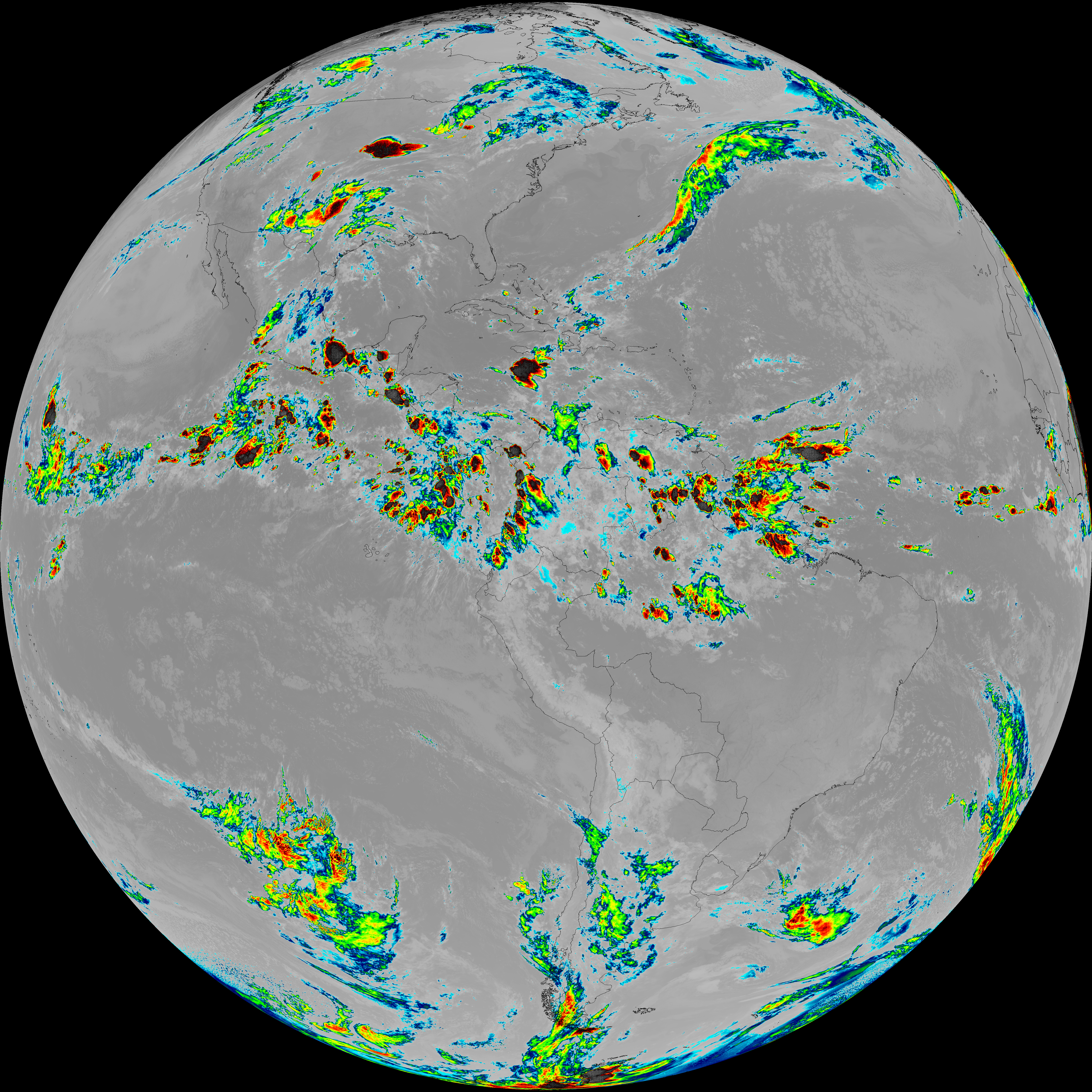
| abi_rgb_Dirty_Longwave_Window_-_CIRA_map.png | 12208815 | 2026-Jun-06 04:57 |
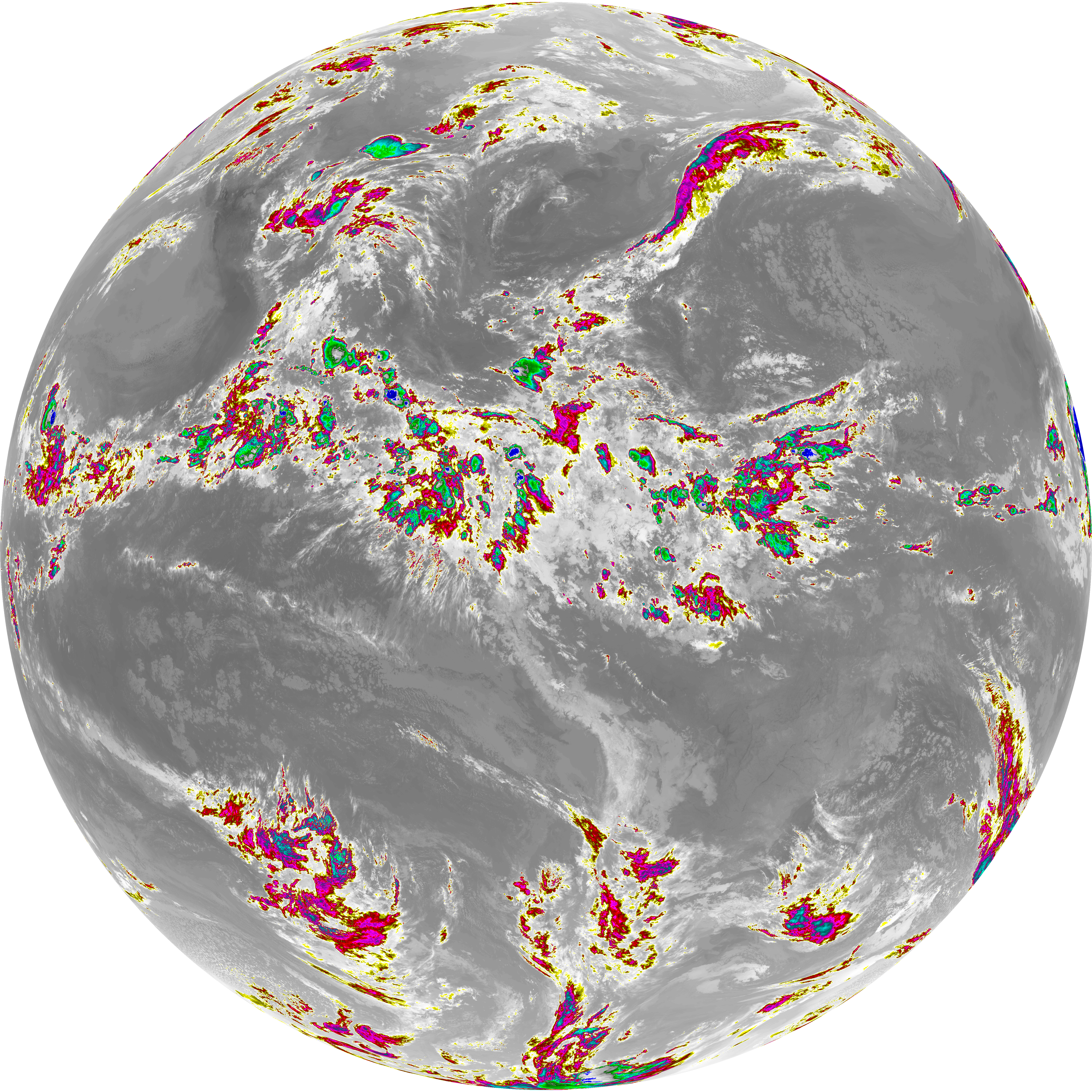
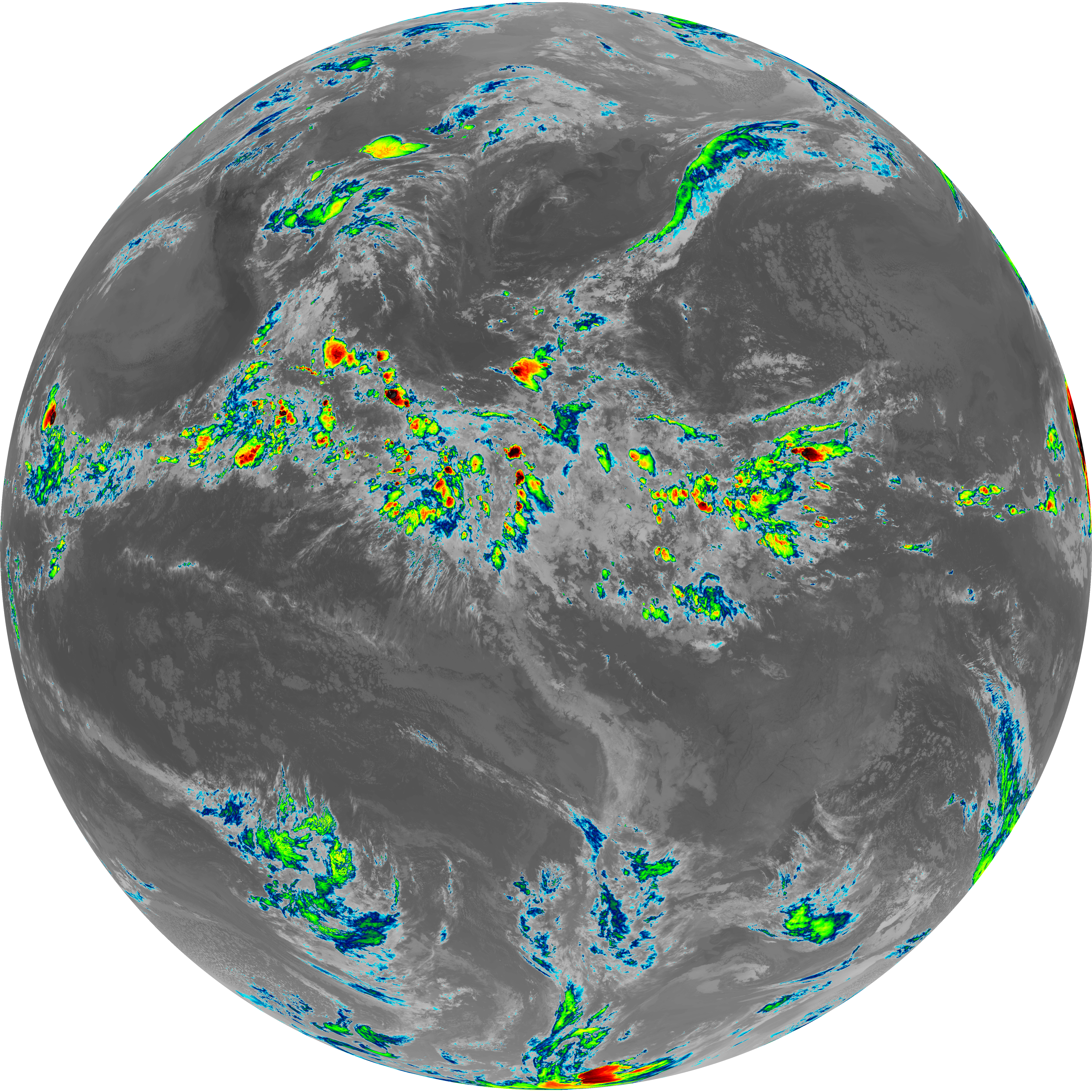
| abi_rgb_Dirty_Longwave_Window.png | 13813555 | 2026-Jun-06 04:56 |
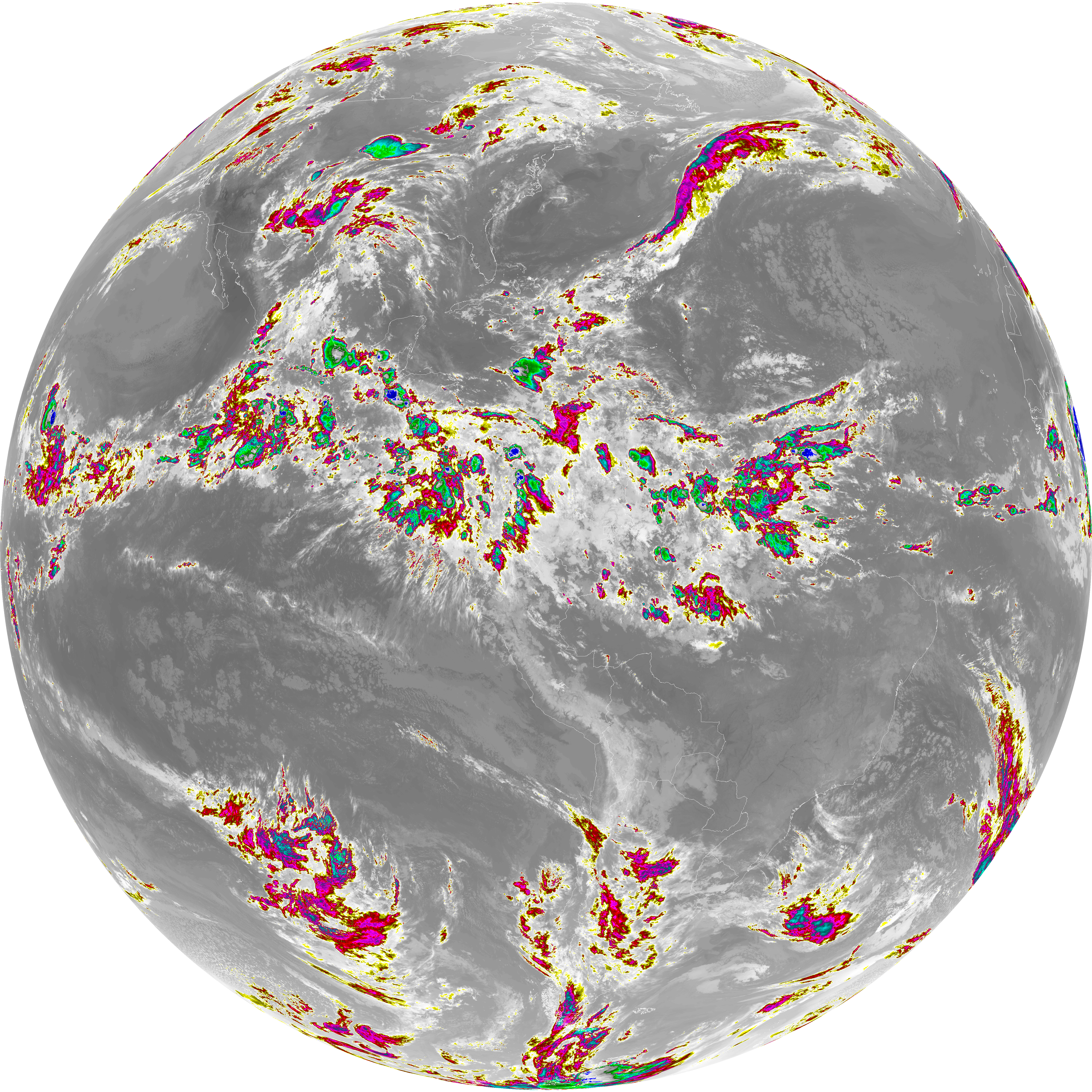
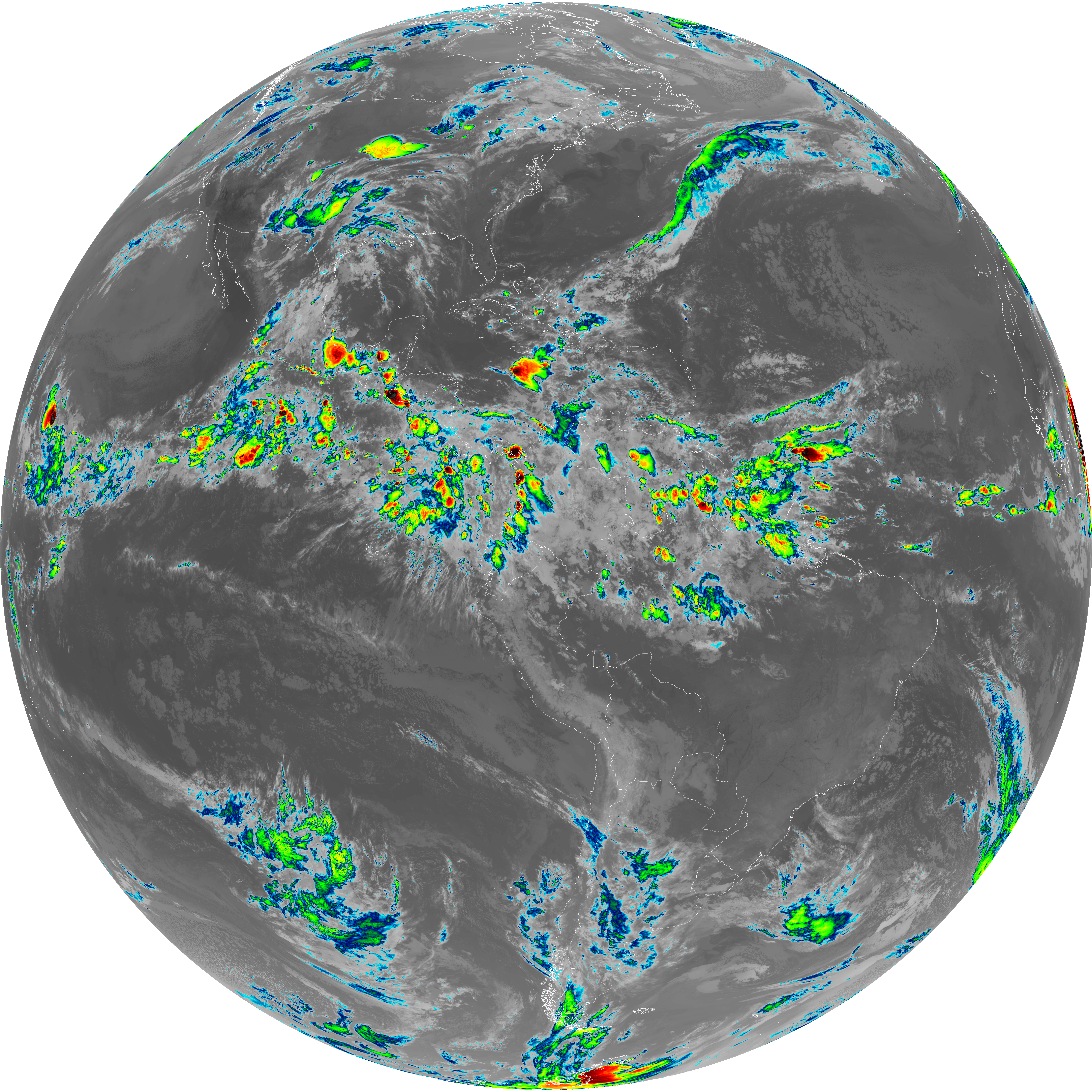
| abi_rgb_Dirty_Longwave_Window_map.png | 13861001 | 2026-Jun-06 04:56 |
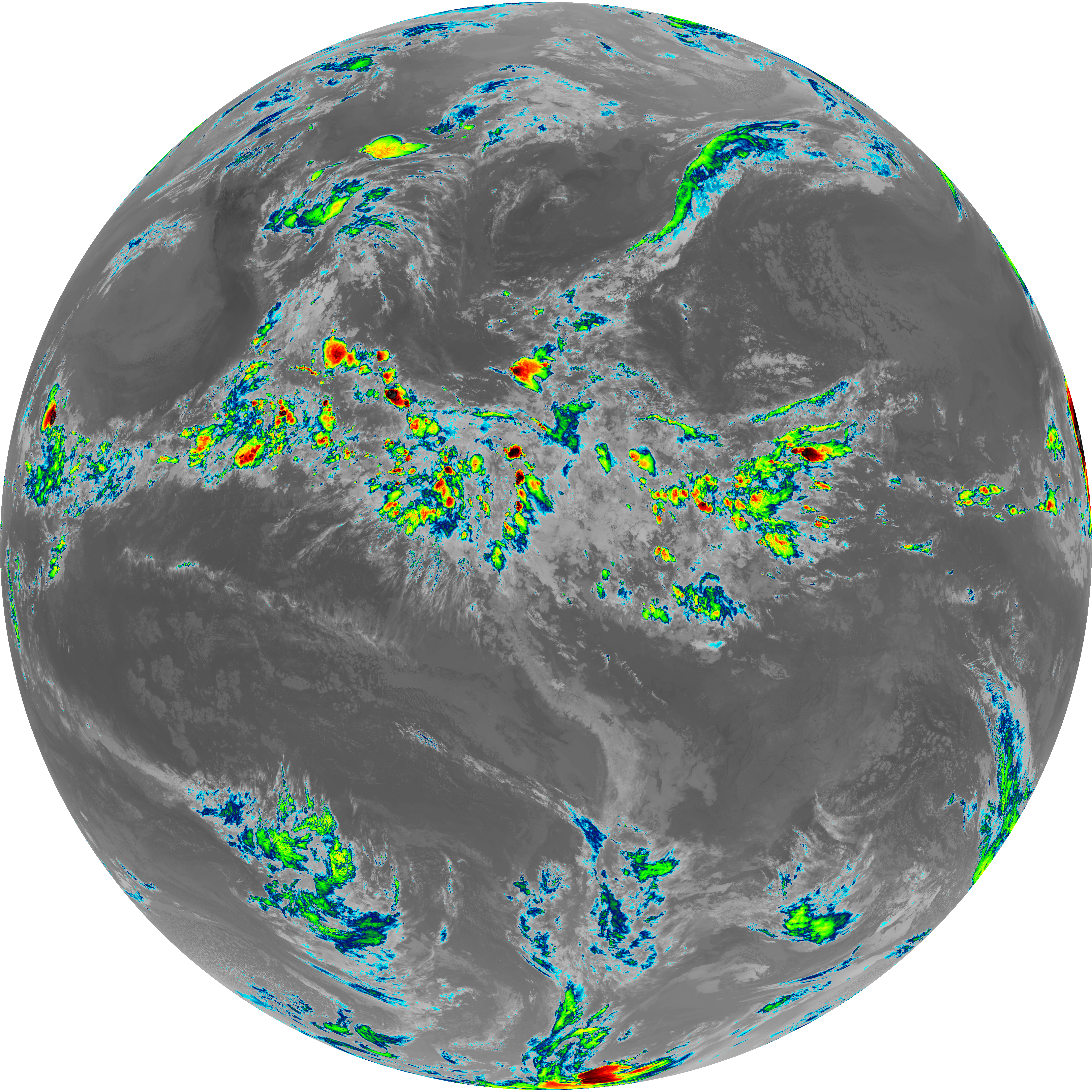
| abi_rgb_Clean_Longwave_IR_Window_Band.png | 13944652 | 2026-Jun-06 04:46 |
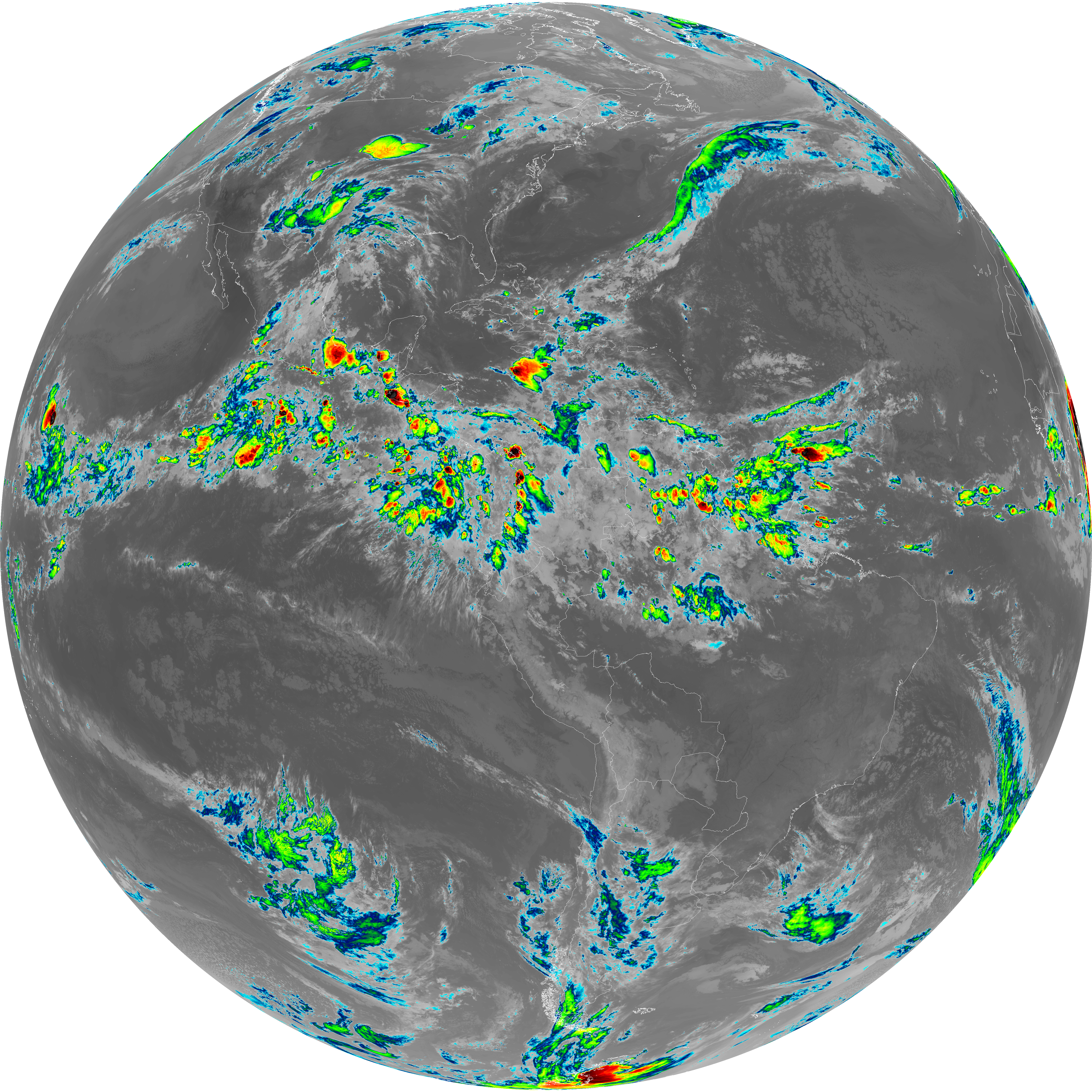
| abi_rgb_Clean_Longwave_IR_Window_Band_map.png | 13988638 | 2026-Jun-06 04:46 |
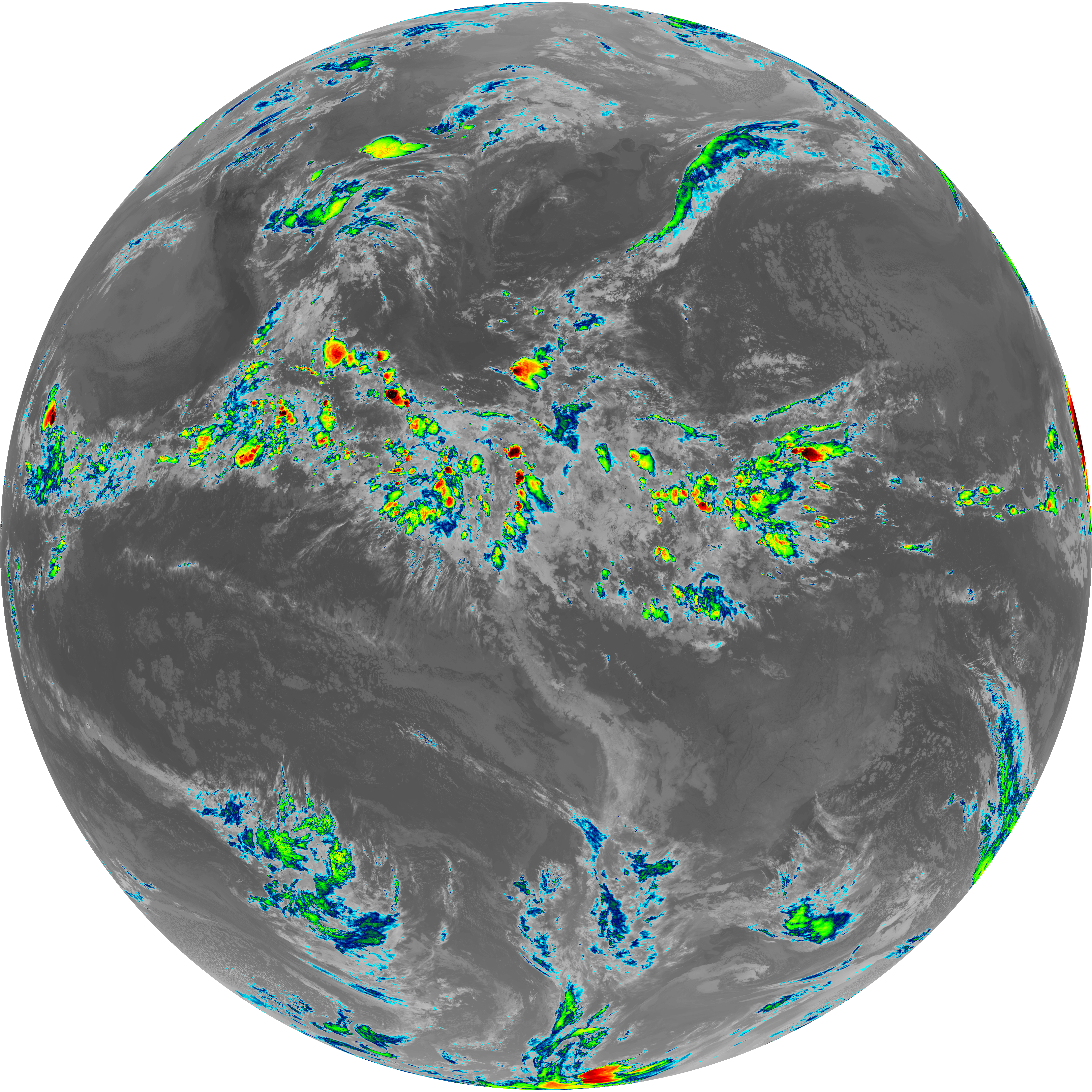
| abi_rgb_Infrared_Longwave_Window_Band.png | 14119717 | 2026-Jun-06 04:53 |
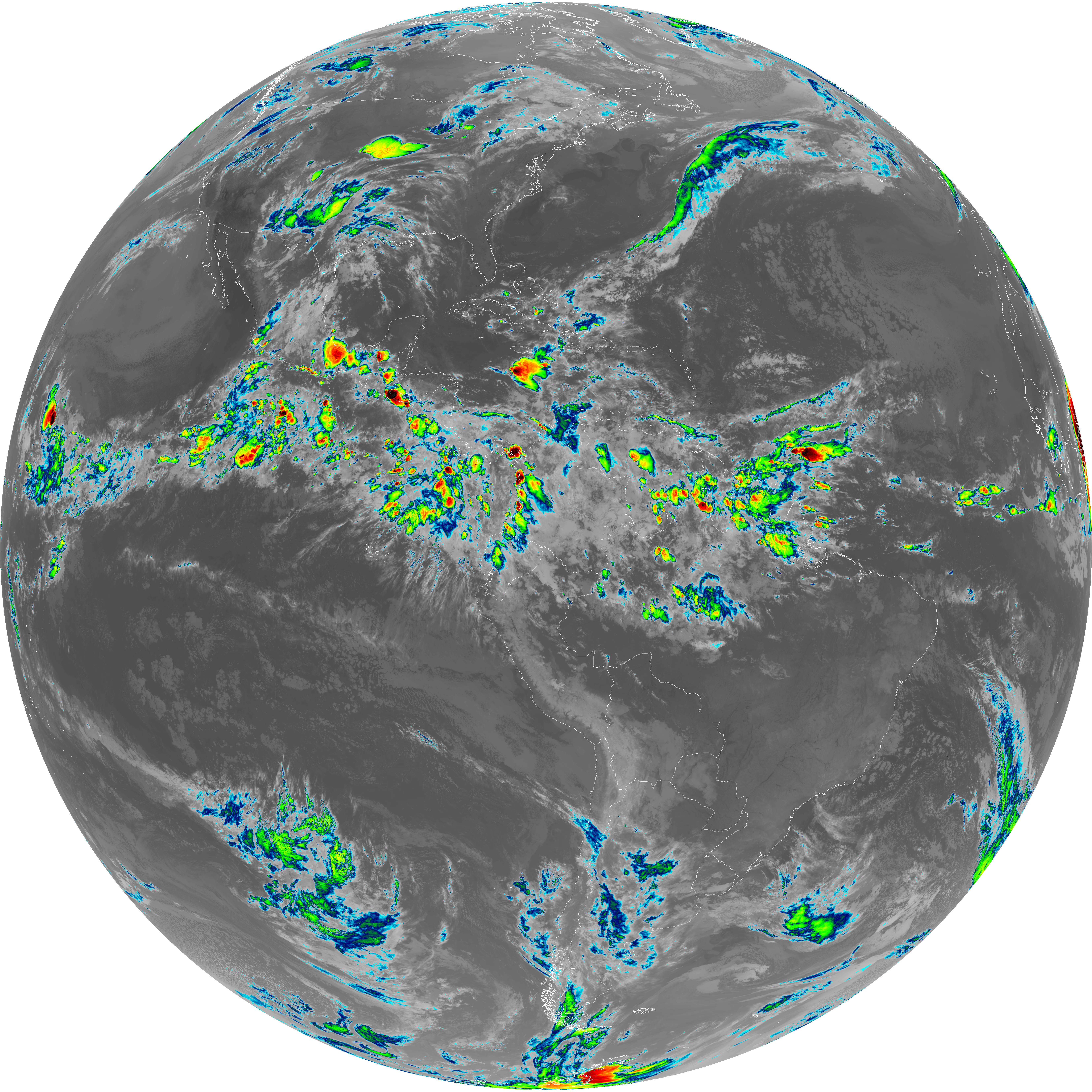
| abi_rgb_Infrared_Longwave_Window_Band_map.png | 14164296 | 2026-Jun-06 04:53 |
| abi_rgb_Shortwave_Window_Band.png | 15413329 | 2026-Jun-06 04:43 |
| abi_rgb_Shortwave_Window_Band_map.png | 15461627 | 2026-Jun-06 04:43 |