| Parent directory/ | - | - |
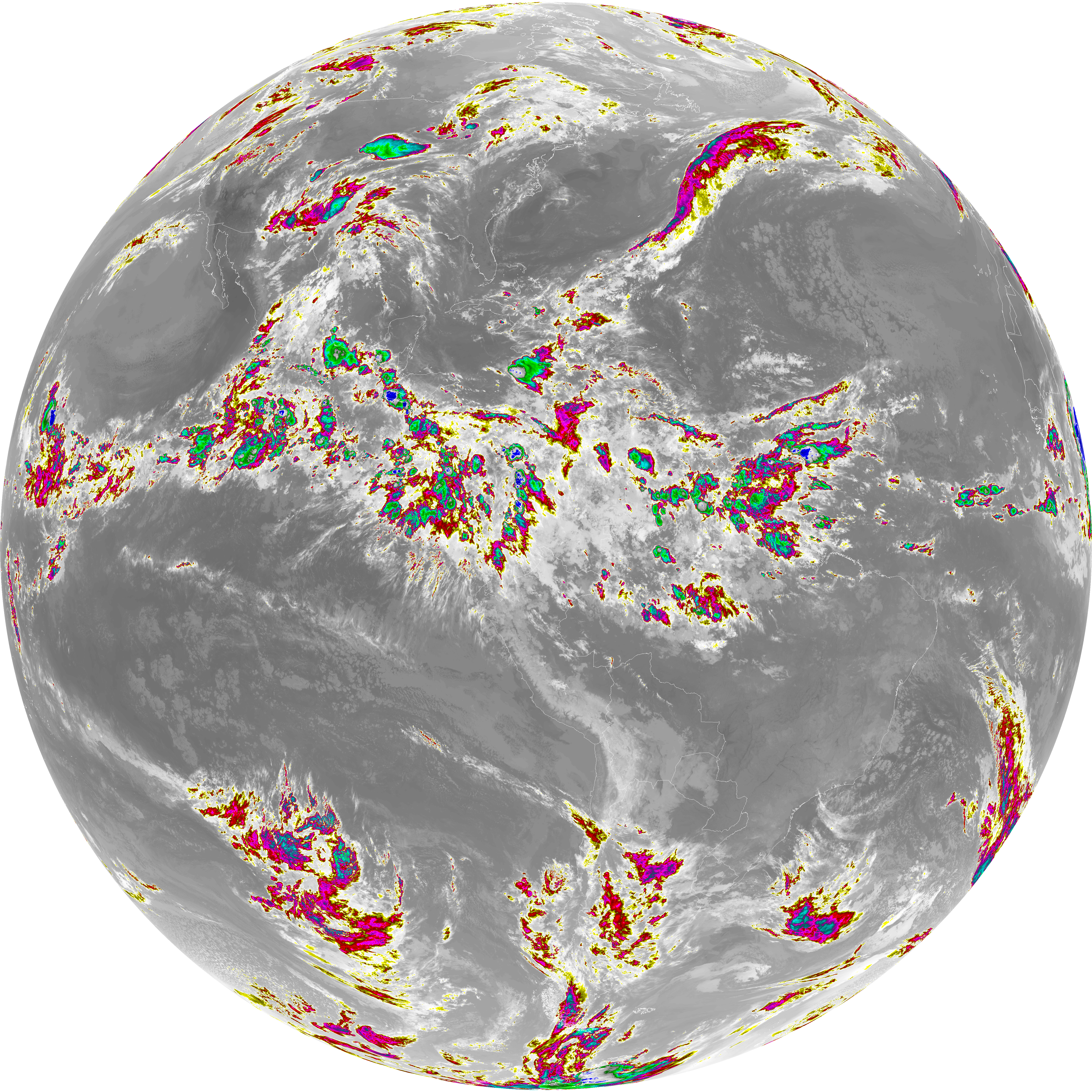
| abi_rgb_Dirty_Longwave_Window_-_CIRA_map.png | 12215695 | 2026-Jun-06 05:27 |
| abi_rgb_Dirty_Longwave_Window_-_CIRA.png | 12155898 | 2026-Jun-06 05:27 |
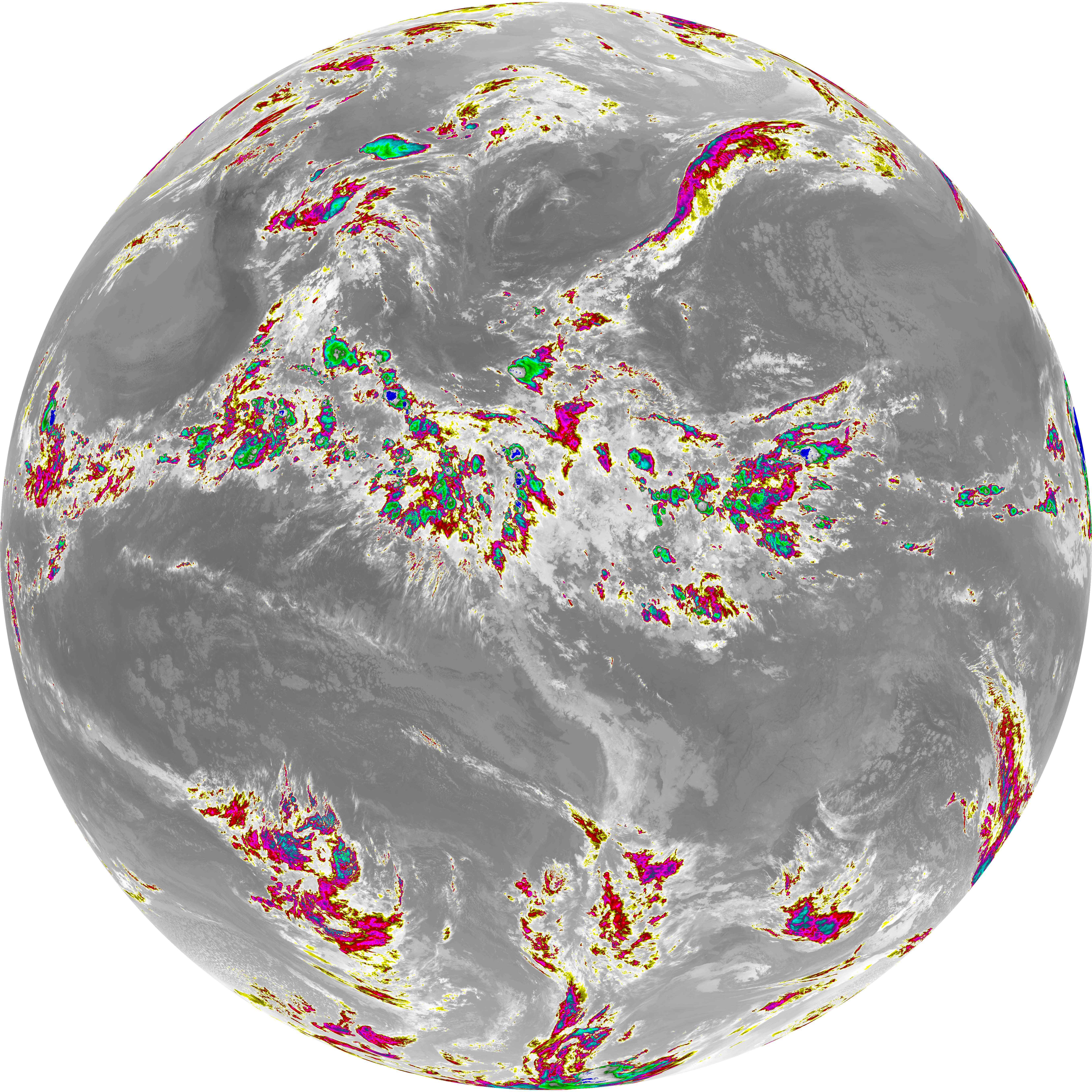
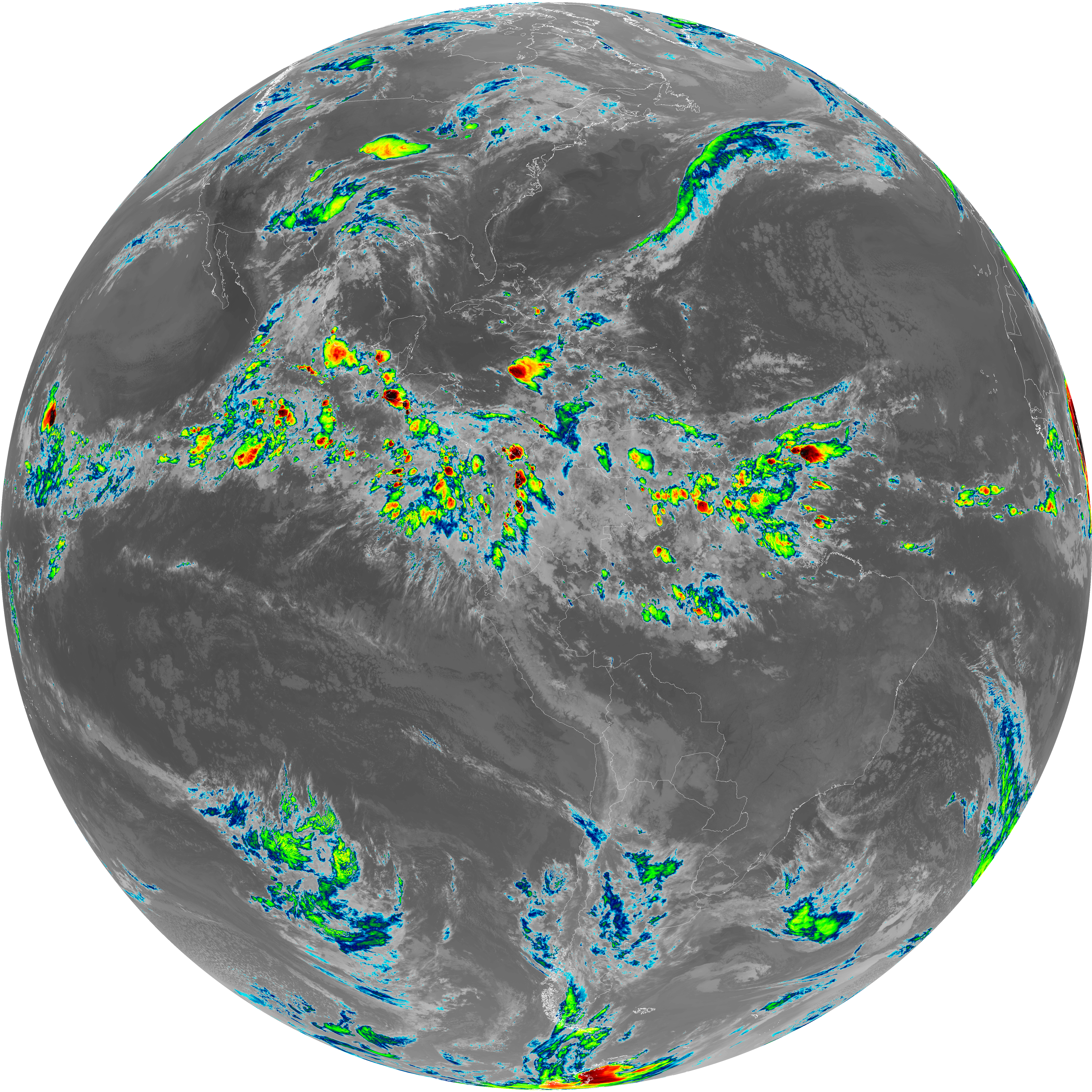
| abi_rgb_Dirty_Longwave_Window_map.png | 13881526 | 2026-Jun-06 05:27 |
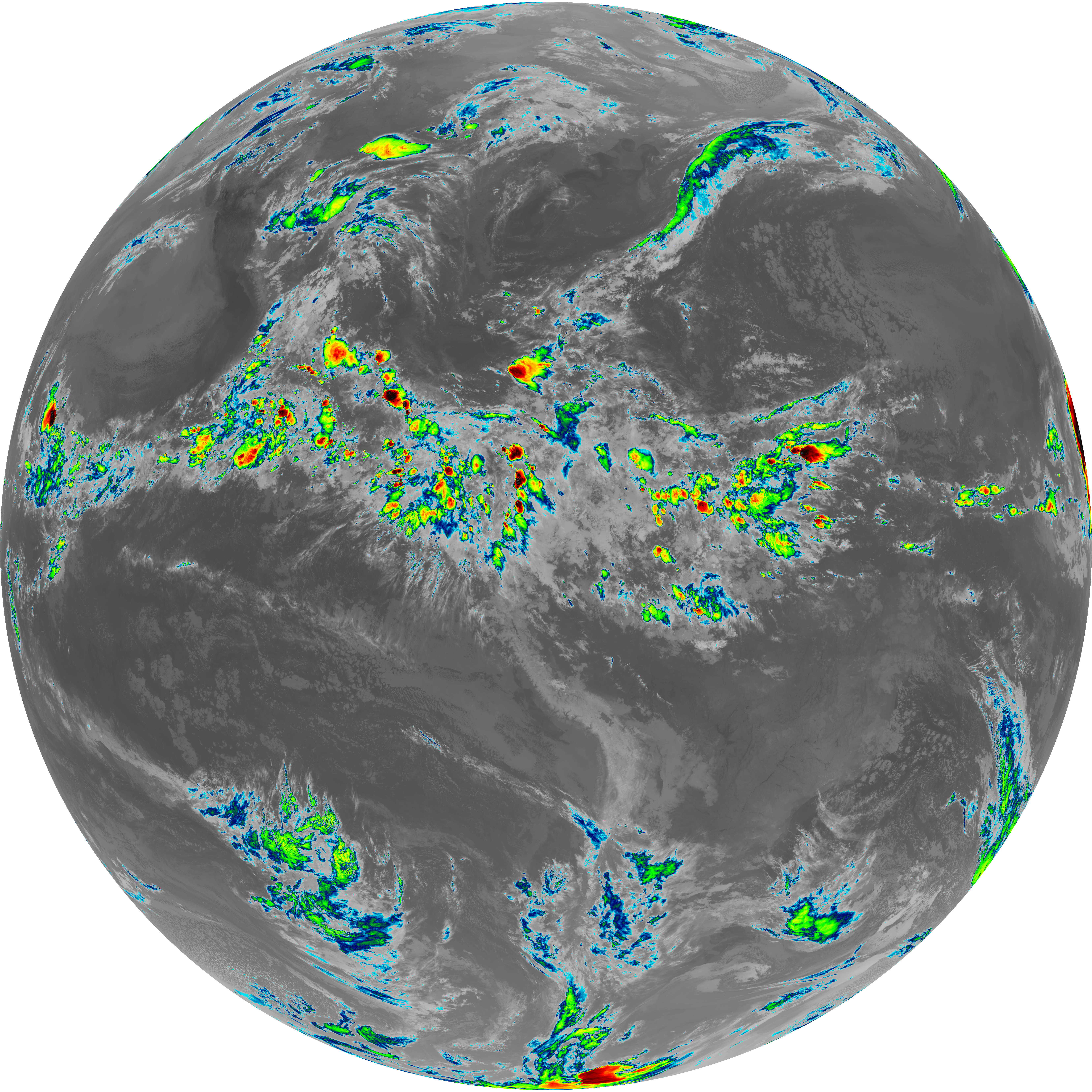
| abi_rgb_Dirty_Longwave_Window.png | 13833367 | 2026-Jun-06 05:27 |
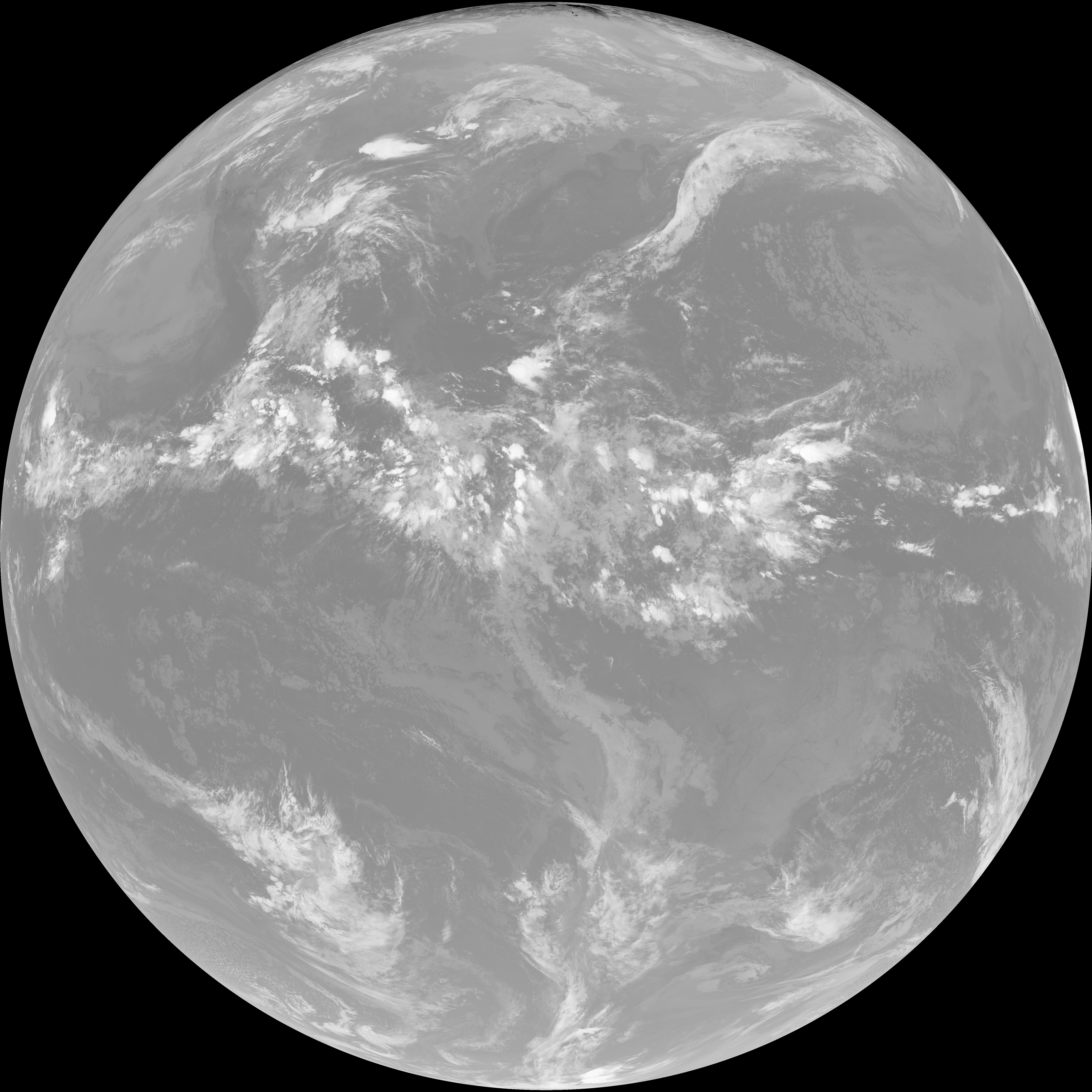
| G19_15_20260606T050021Z.png | 10319673 | 2026-Jun-06 05:26 |
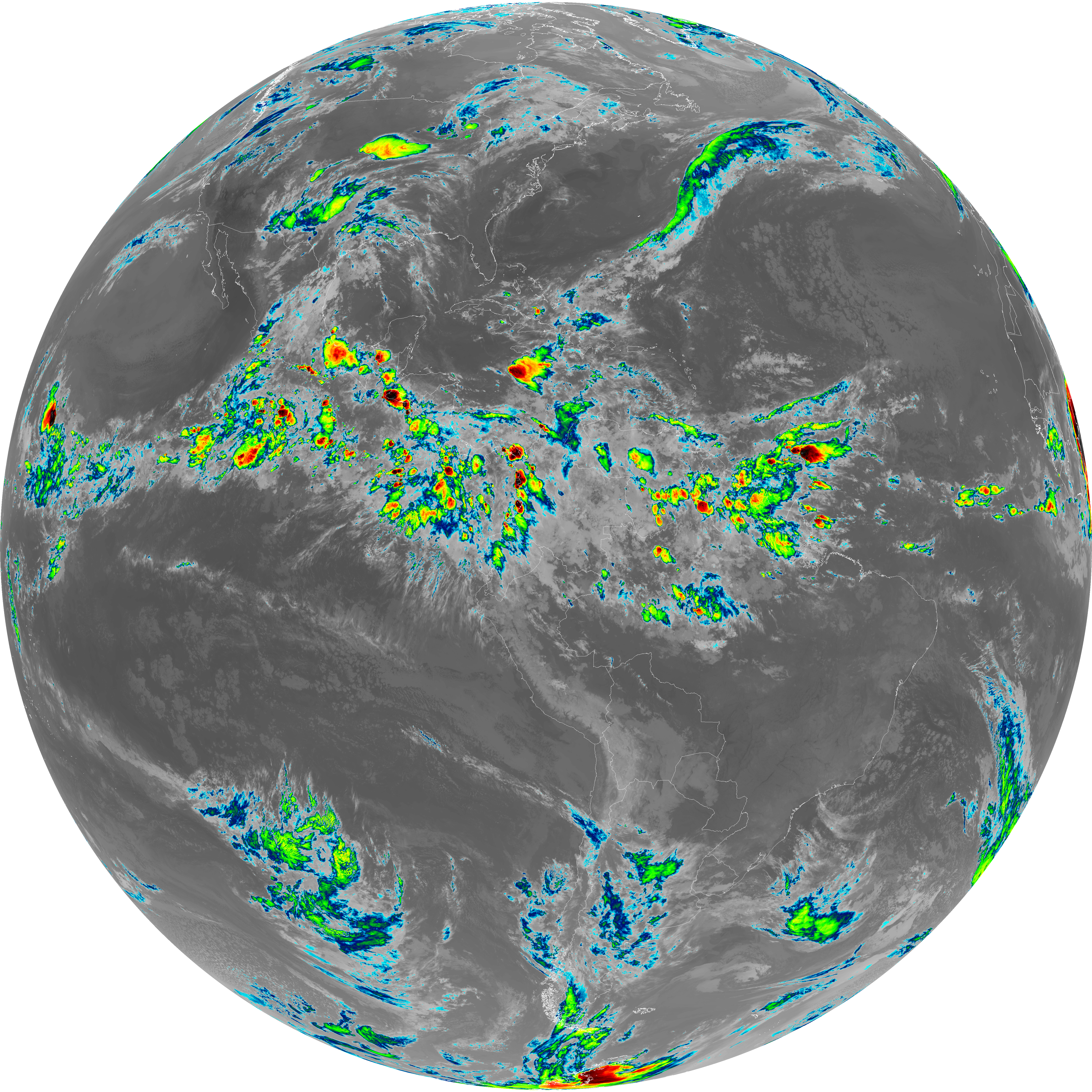
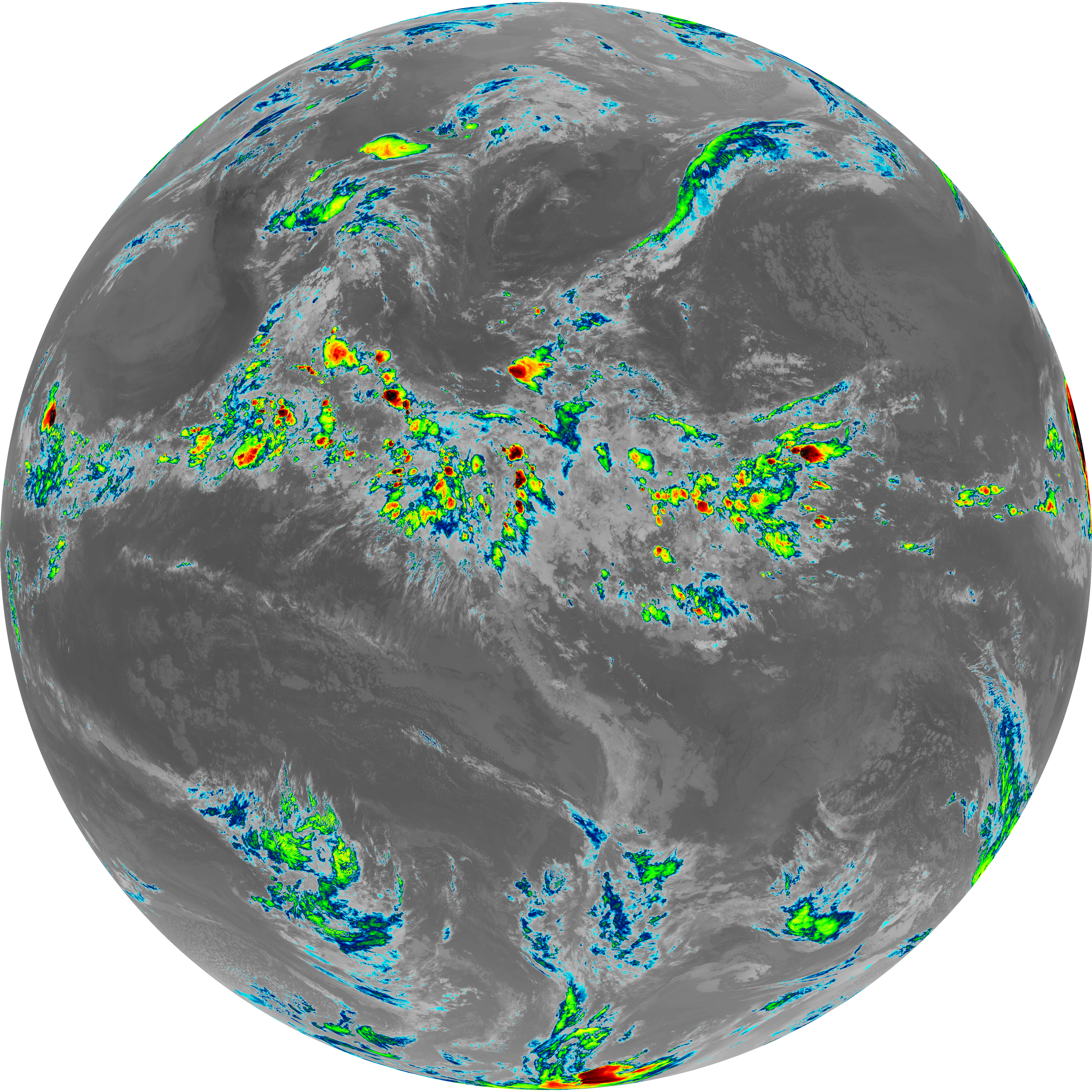
| abi_rgb_Infrared_Longwave_Window_Band_map.png | 14182222 | 2026-Jun-06 05:24 |
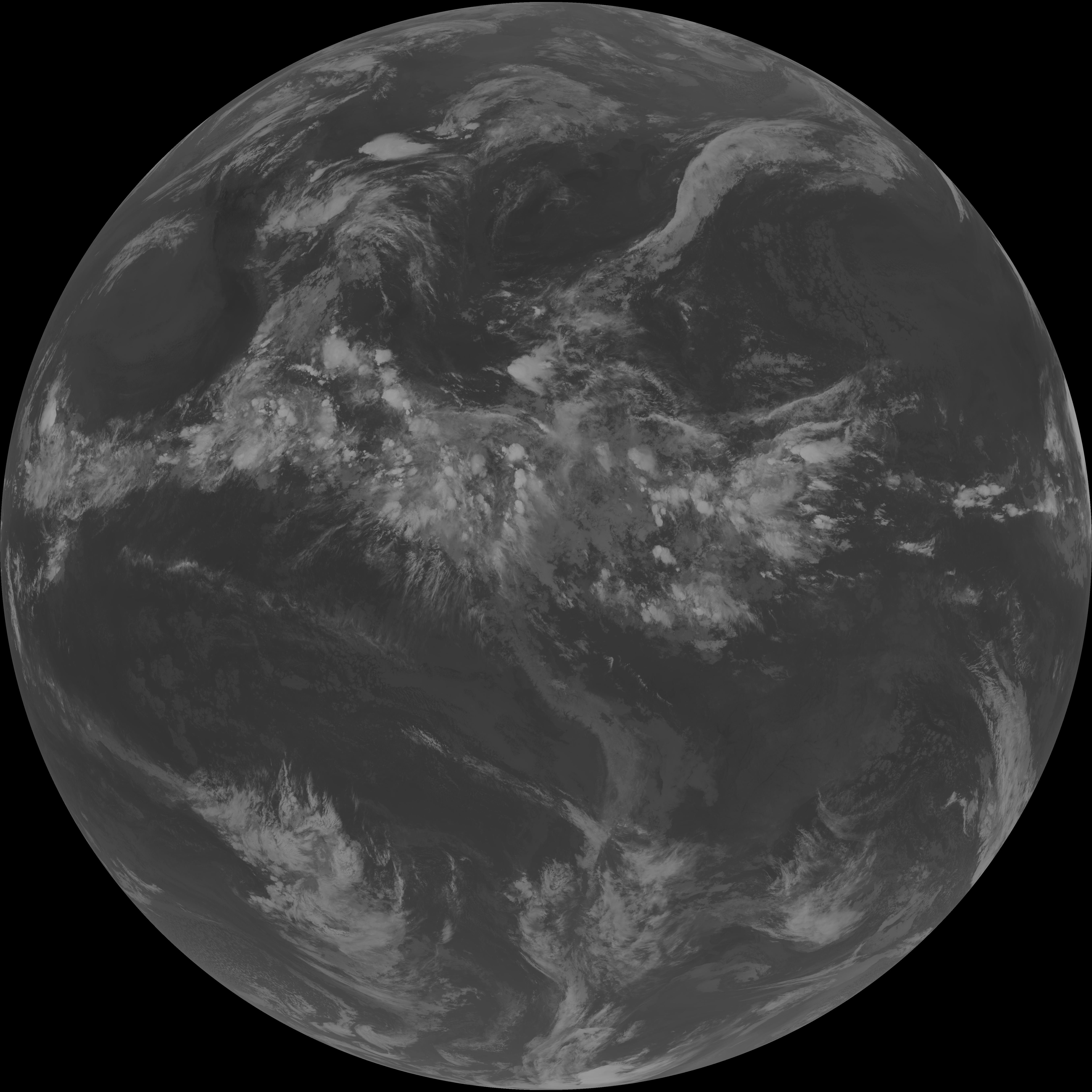
| abi_rgb_Infrared_Longwave_Window_Band.png | 14138895 | 2026-Jun-06 05:24 |
| G19_14_20260606T050021Z.png | 10576275 | 2026-Jun-06 05:23 |
| abi_rgb_Mid-level_Tropospheric_Water_Vapor_map.png | 8805815 | 2026-Jun-06 05:20 |
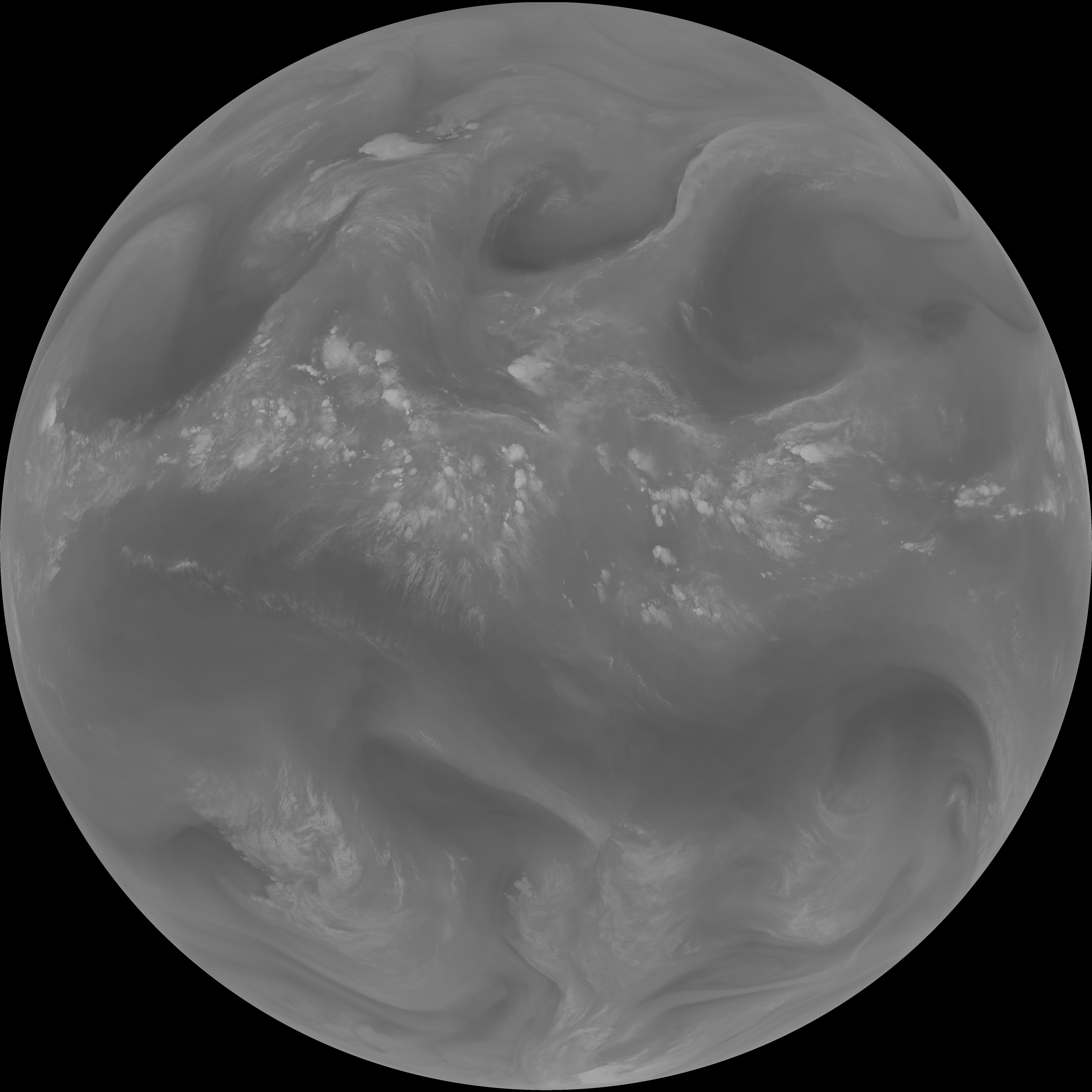
| abi_rgb_Mid-level_Tropospheric_Water_Vapor.png | 8705271 | 2026-Jun-06 05:20 |
| G19_9_20260606T050021Z.png | 6491173 | 2026-Jun-06 05:20 |
| abi_rgb_Upper-Level_Tropospheric_Water_Vapor_map.png | 7583851 | 2026-Jun-06 05:18 |
| abi_rgb_Upper-Level_Tropospheric_Water_Vapor.png | 7472400 | 2026-Jun-06 05:18 |
| G19_8_20260606T050021Z.png | 5590197 | 2026-Jun-06 05:18 |
| abi_rgb_Clean_Longwave_IR_Window_Band_map.png | 14003767 | 2026-Jun-06 05:16 |
| abi_rgb_Clean_Longwave_IR_Window_Band.png | 13958727 | 2026-Jun-06 05:16 |
| G19_2_20260606T050021Z.png | 360999 | 2026-Jun-06 05:16 |
| G19_13_20260606T050021Z.png | 10418022 | 2026-Jun-06 05:16 |
| abi_rgb_Shortwave_Window_Band_map.png | 15467308 | 2026-Jun-06 05:13 |
| abi_rgb_Shortwave_Window_Band.png | 15418289 | 2026-Jun-06 05:13 |
| G19_7_20260606T050021Z.png | 11233392 | 2026-Jun-06 05:13 |