| Parent directory/ | - | - |
| abi_rgb_Shortwave_Window_Band_map.png | 15524781 | 2026-Jun-06 05:43 |
| abi_rgb_Shortwave_Window_Band.png | 15475692 | 2026-Jun-06 05:43 |
| abi_rgb_Infrared_Longwave_Window_Band_map.png | 14191426 | 2026-Jun-06 05:54 |
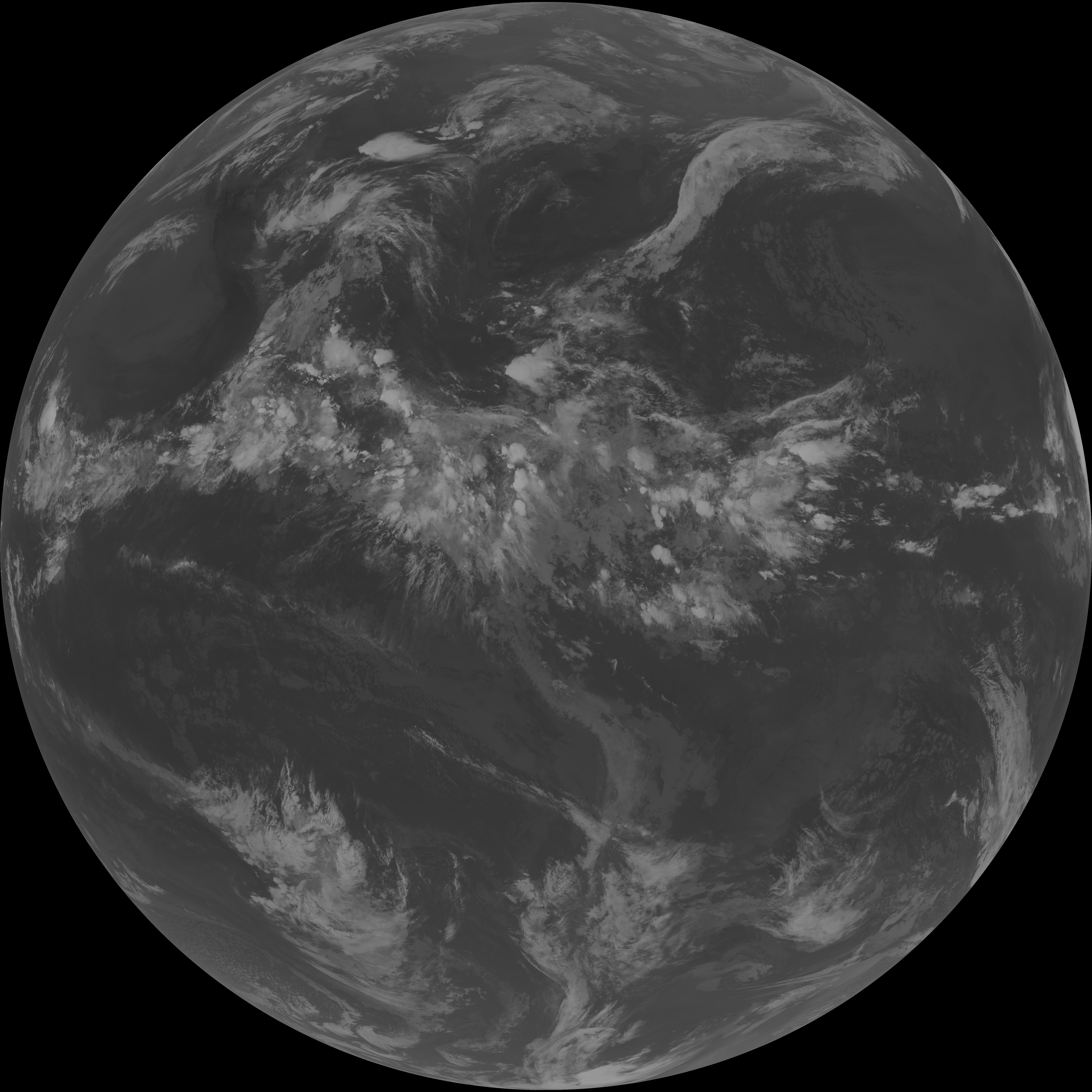
| abi_rgb_Infrared_Longwave_Window_Band.png | 14147327 | 2026-Jun-06 05:53 |
| abi_rgb_Clean_Longwave_IR_Window_Band_map.png | 14011000 | 2026-Jun-06 05:46 |
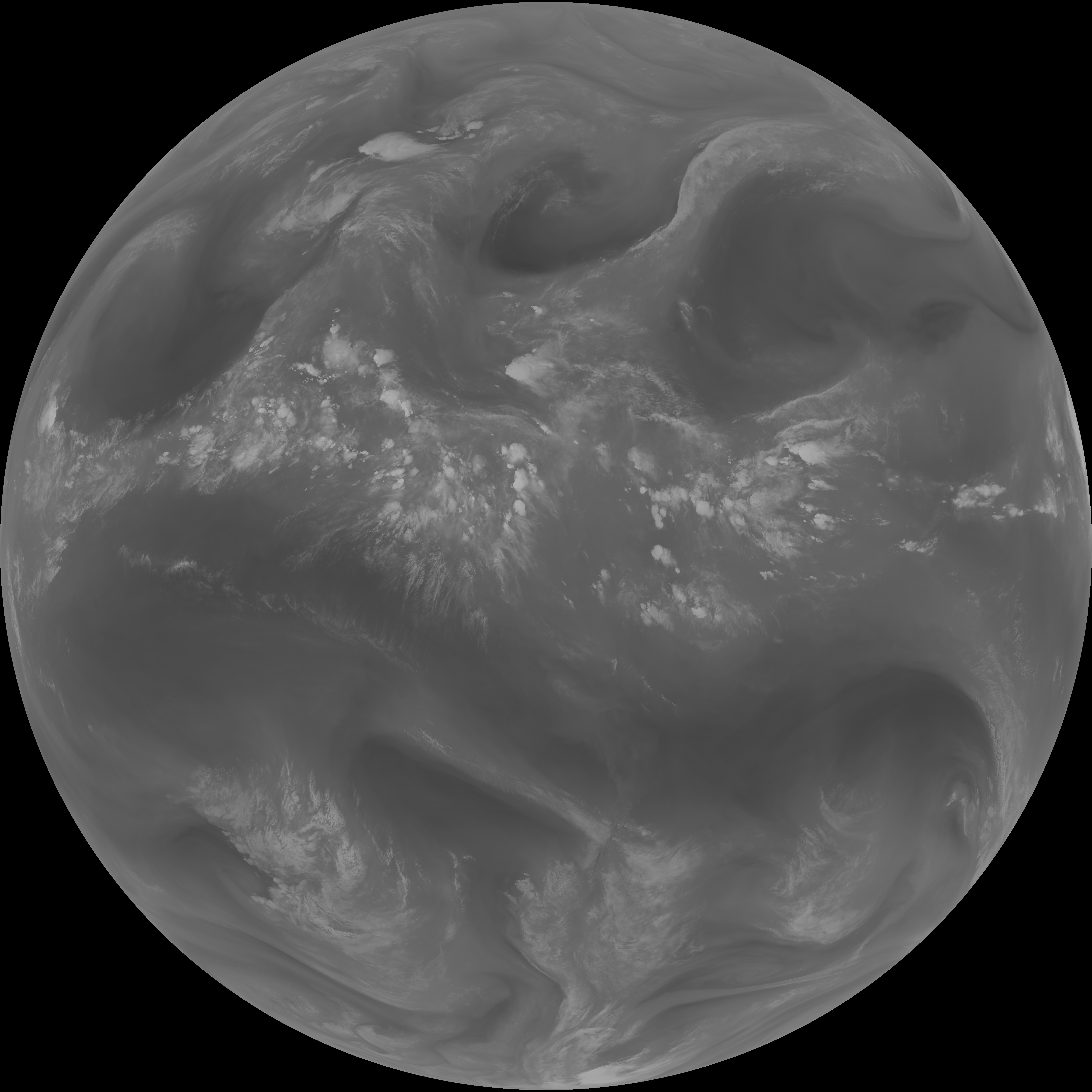
| abi_rgb_Clean_Longwave_IR_Window_Band.png | 13965736 | 2026-Jun-06 05:46 |
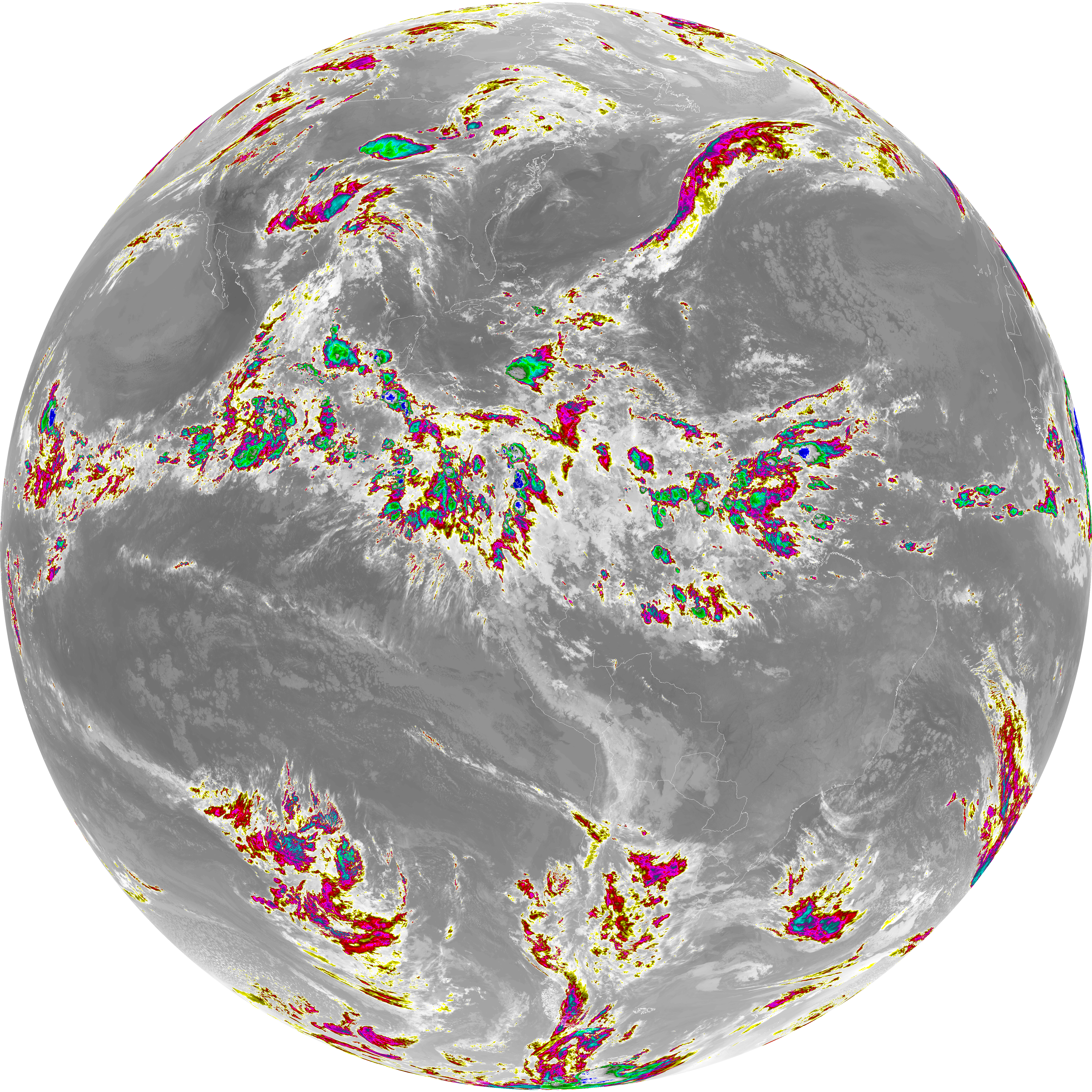
| abi_rgb_Dirty_Longwave_Window_map.png | 13880706 | 2026-Jun-06 05:56 |
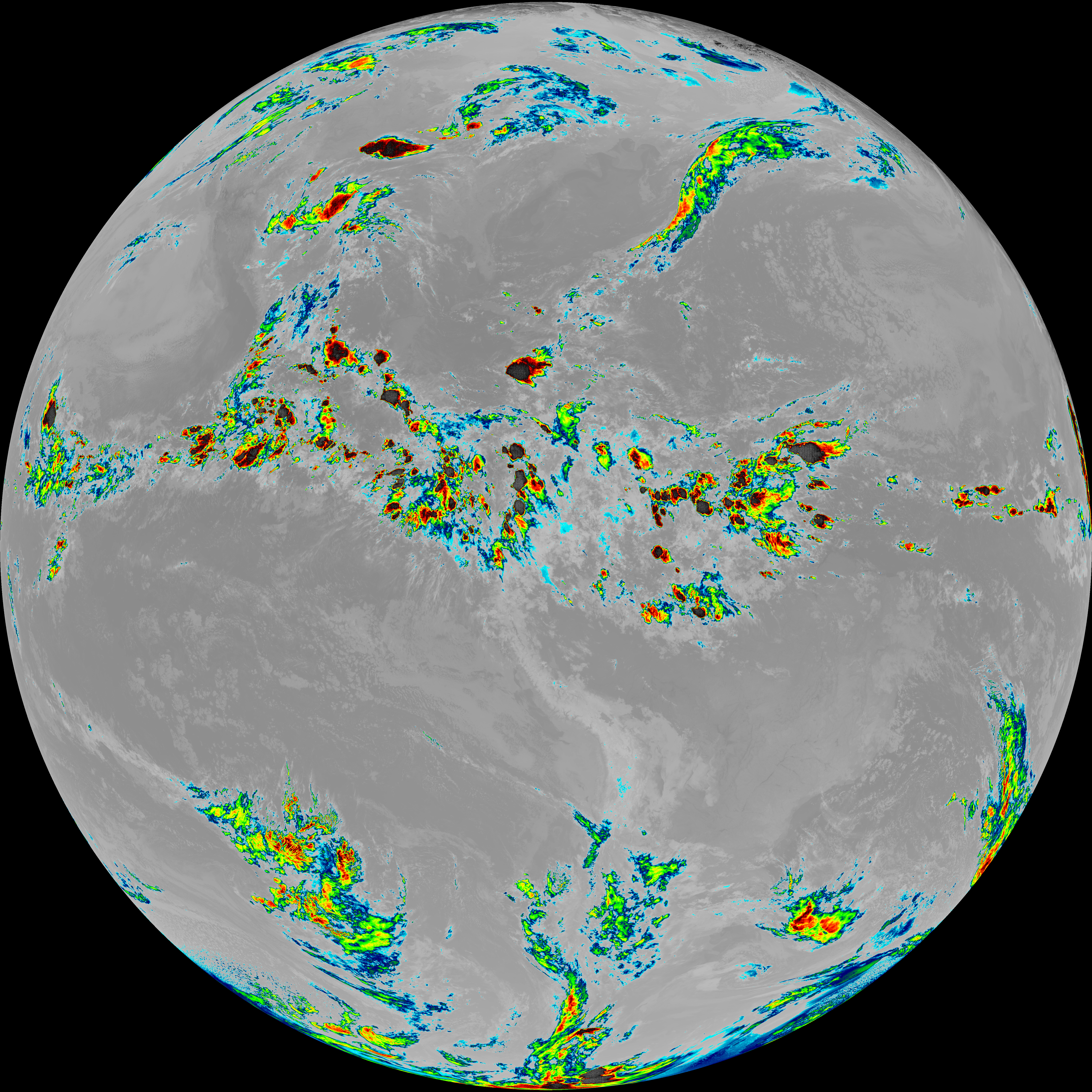
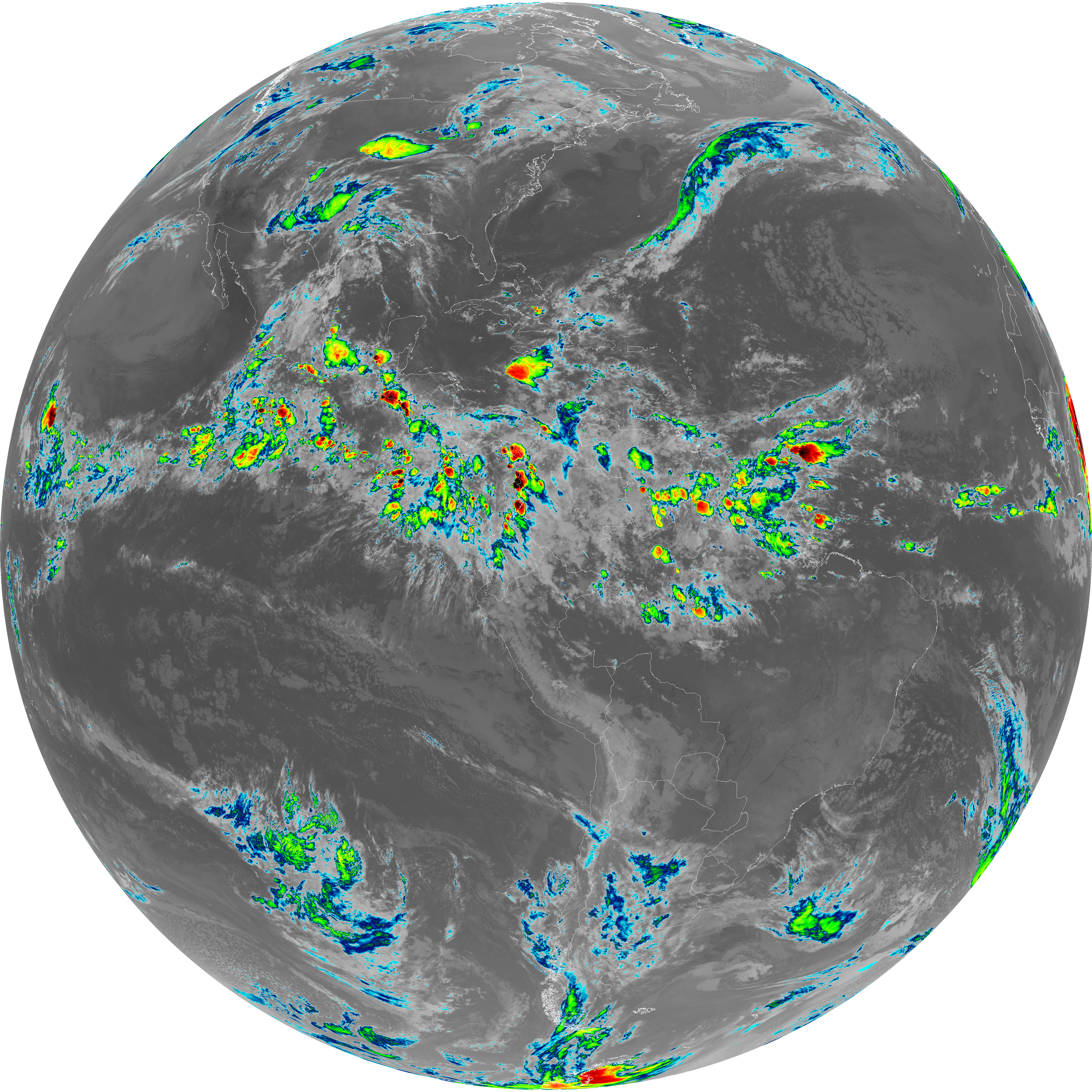
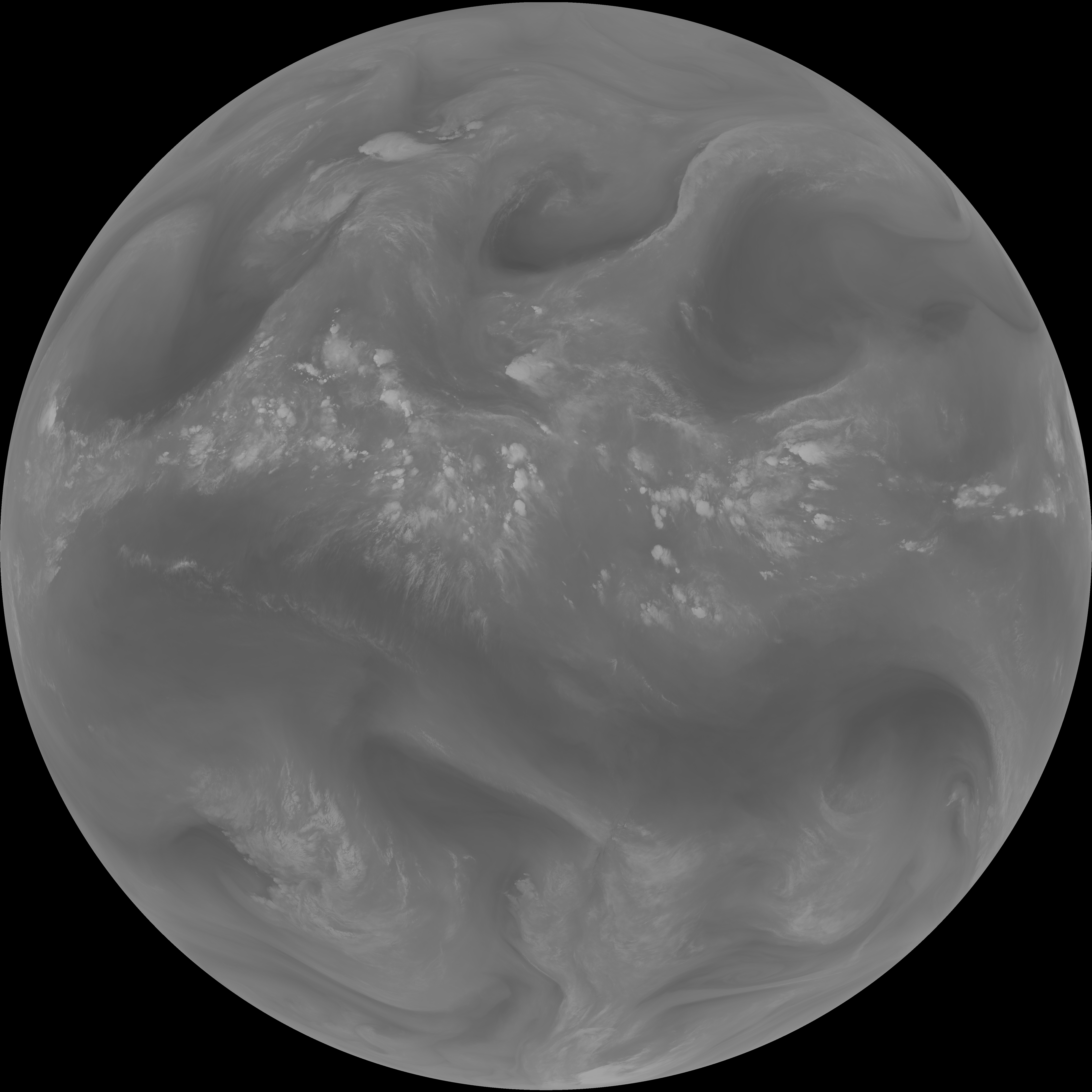
| abi_rgb_Dirty_Longwave_Window.png | 13833139 | 2026-Jun-06 05:56 |
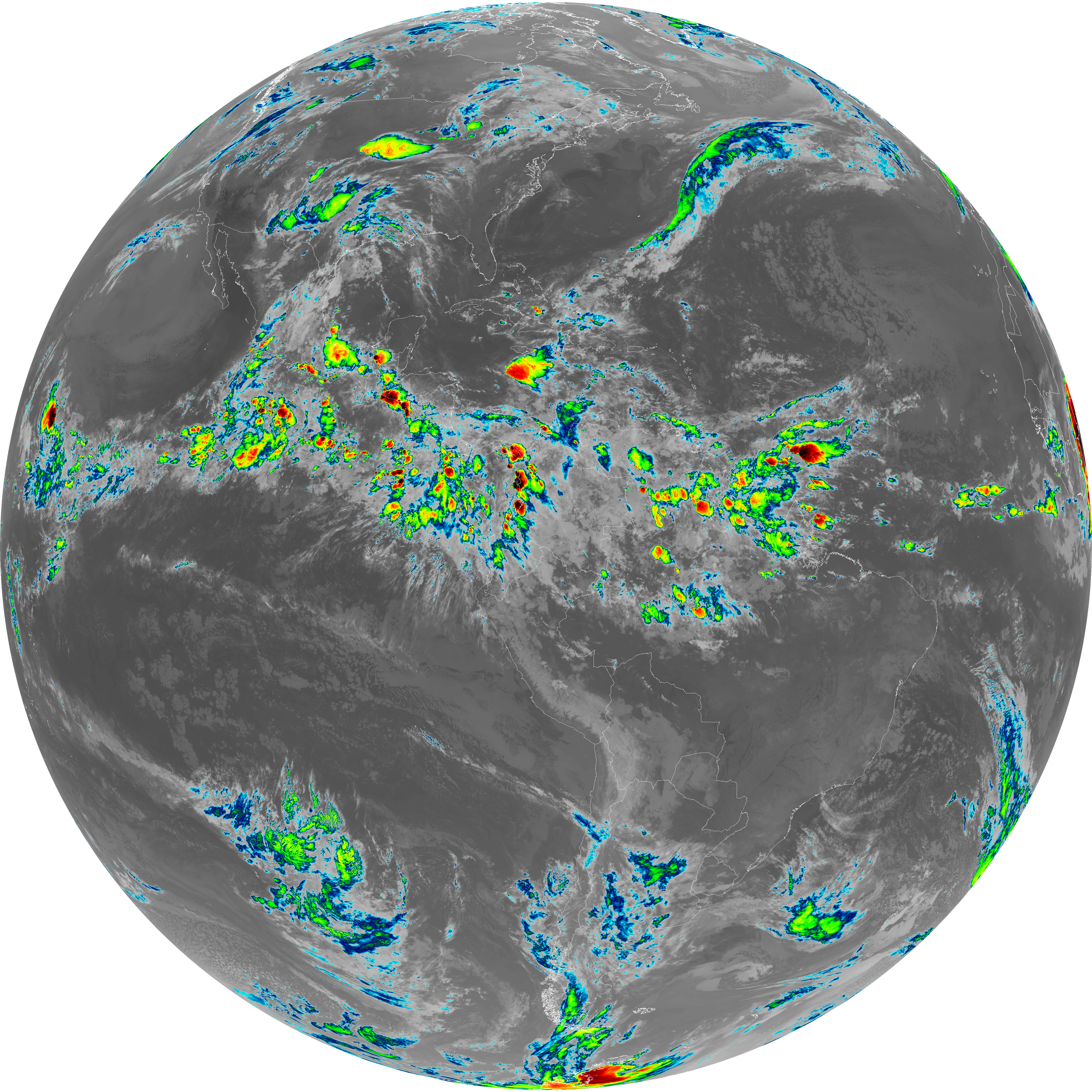
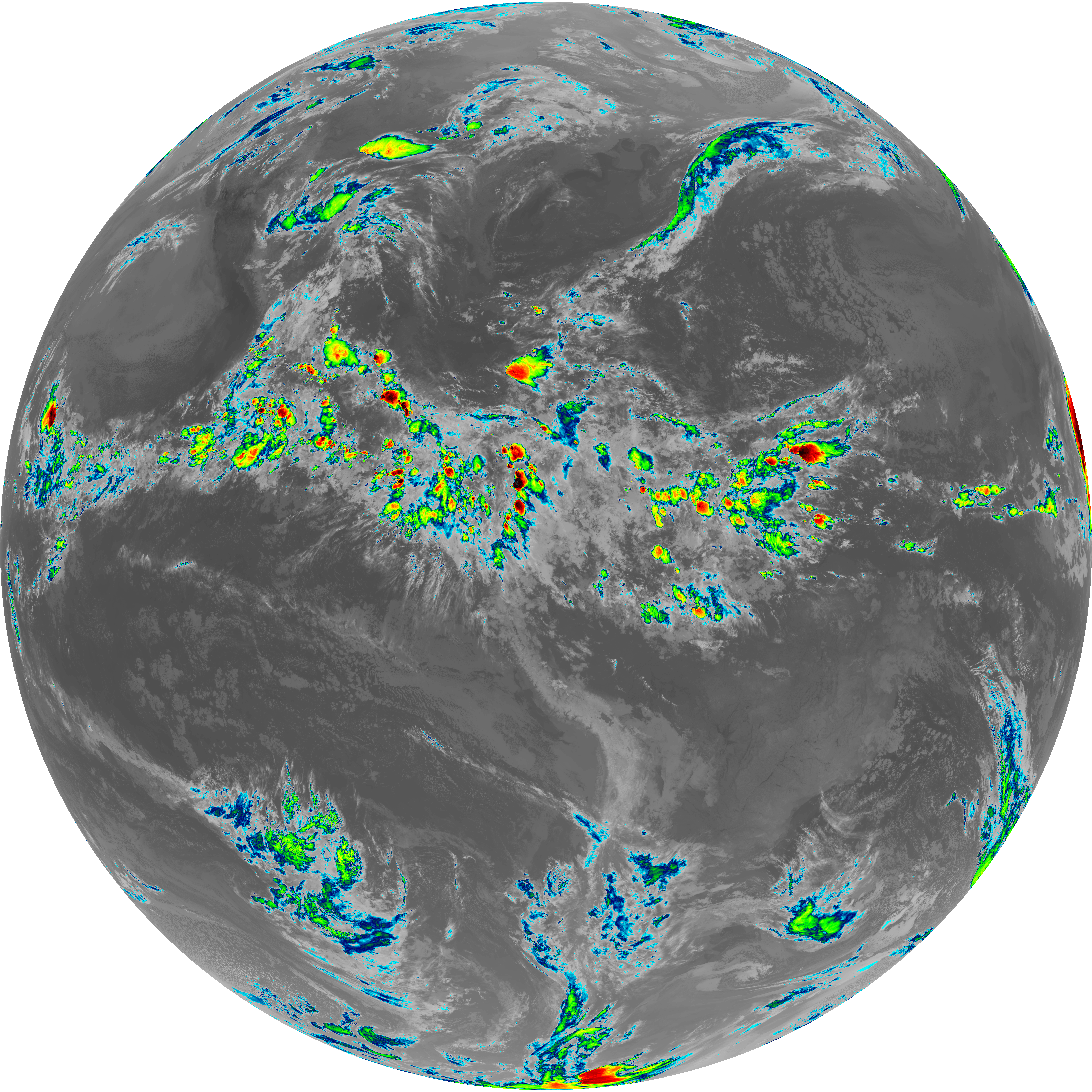
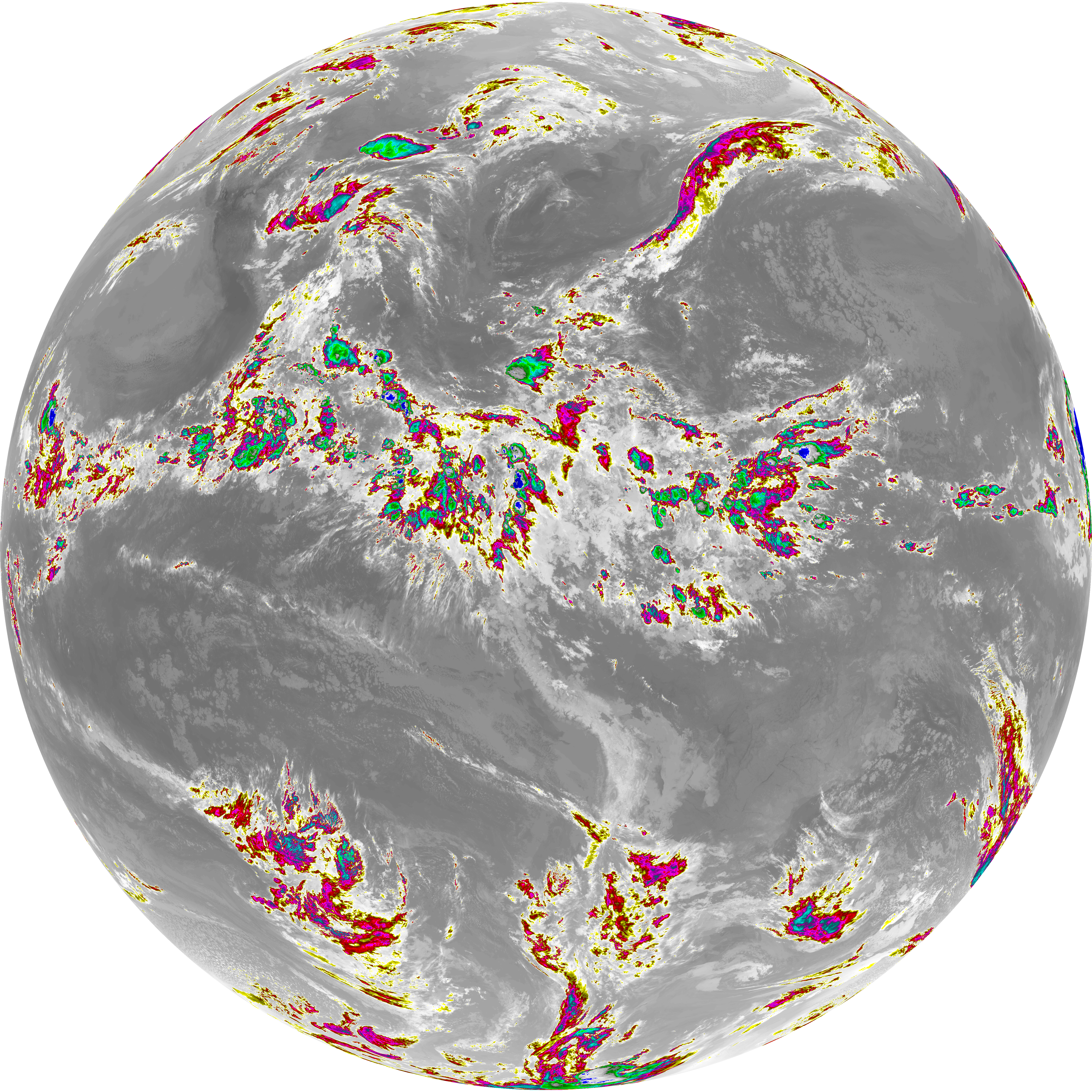
| abi_rgb_Dirty_Longwave_Window_-_CIRA_map.png | 12205773 | 2026-Jun-06 05:57 |
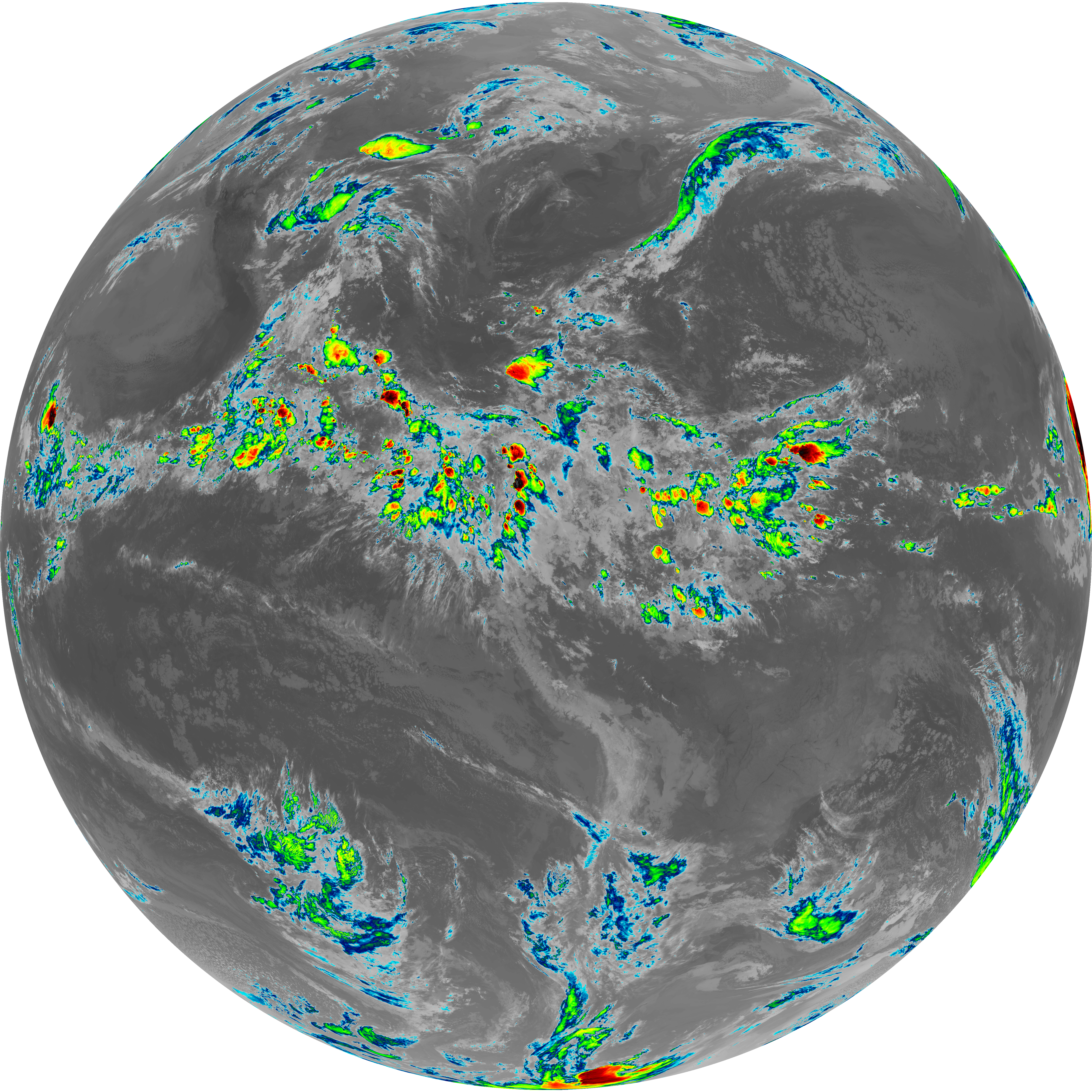
| abi_rgb_Dirty_Longwave_Window_-_CIRA.png | 12146486 | 2026-Jun-06 05:57 |
| G19_7_20260606T053021Z.png | 11267536 | 2026-Jun-06 05:43 |
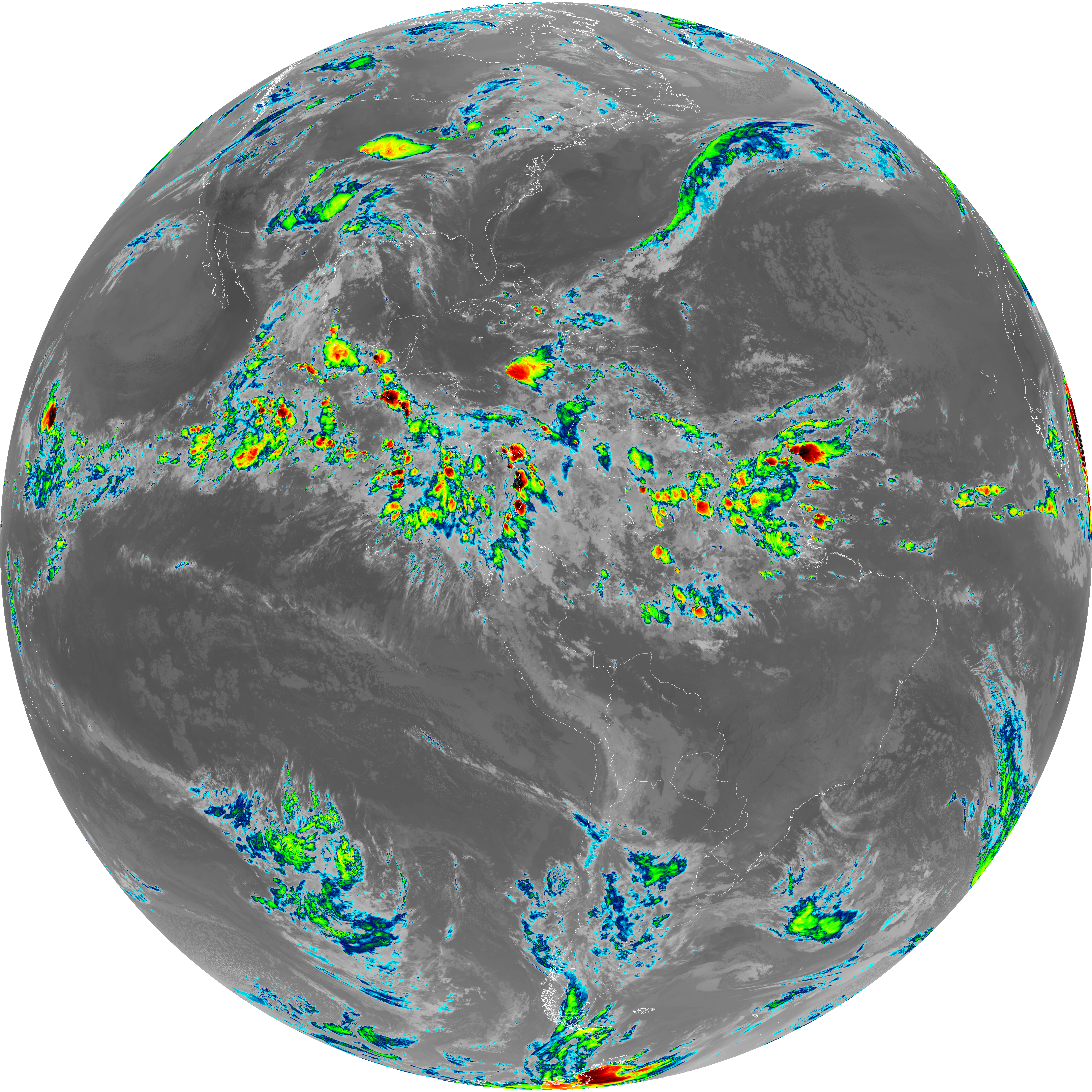
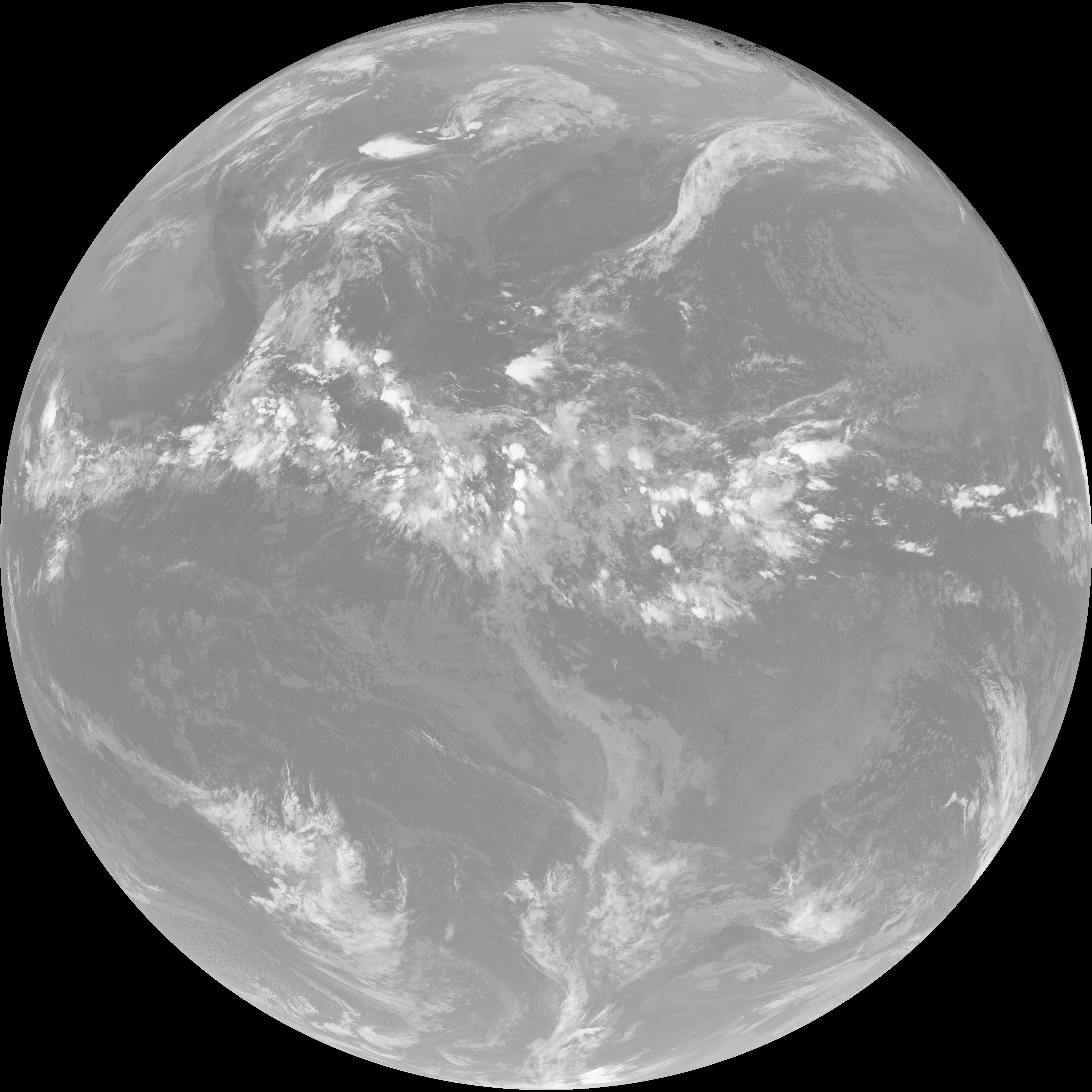
| G19_14_20260606T053021Z.png | 10580804 | 2026-Jun-06 05:53 |
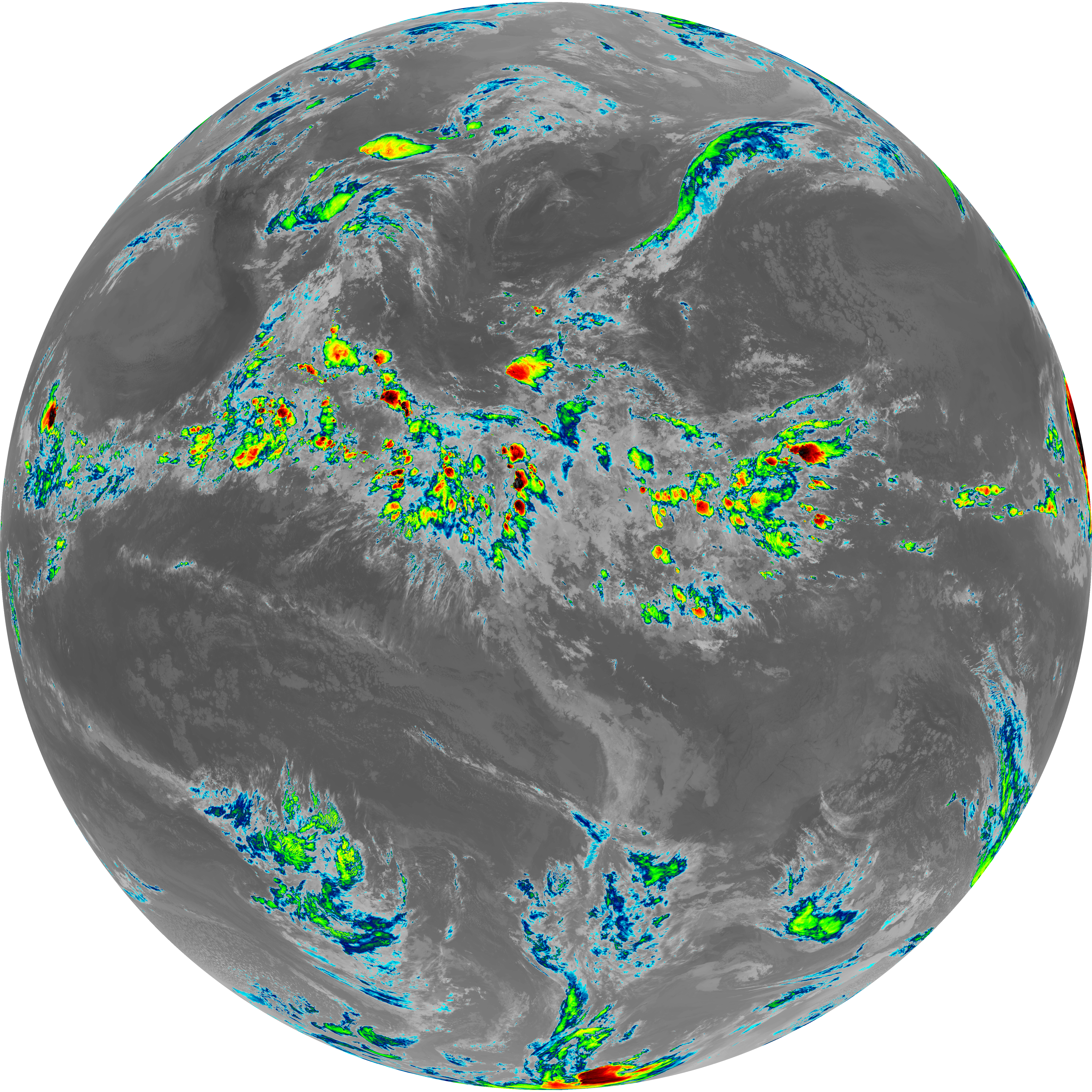
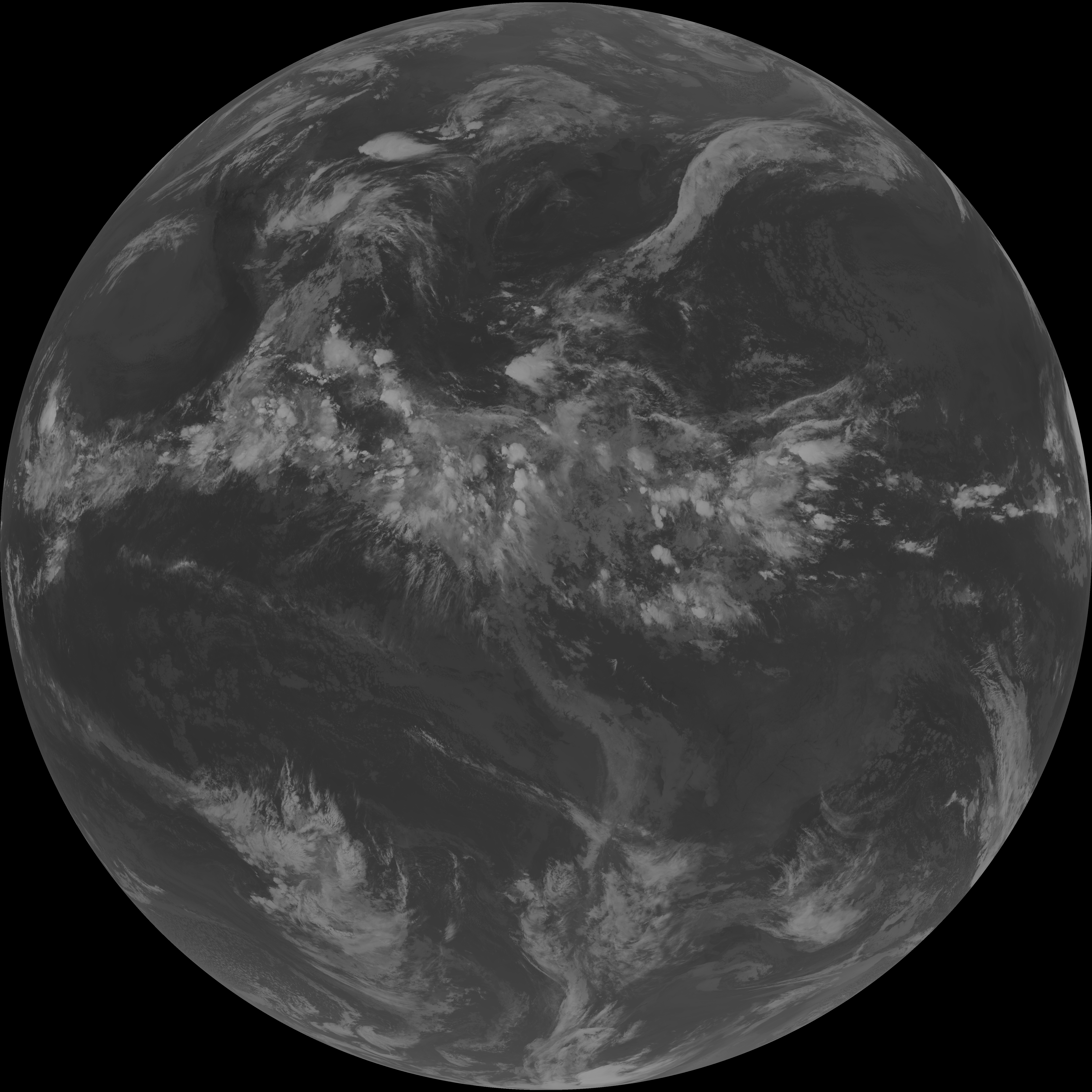
| G19_13_20260606T053021Z.png | 10422116 | 2026-Jun-06 05:46 |
| G19_15_20260606T053021Z.png | 10318804 | 2026-Jun-06 05:56 |
| abi_rgb_Mid-level_Tropospheric_Water_Vapor_map.png | 8798447 | 2026-Jun-06 05:50 |
| abi_rgb_Mid-level_Tropospheric_Water_Vapor.png | 8697743 | 2026-Jun-06 05:50 |
| abi_rgb_Upper-Level_Tropospheric_Water_Vapor_map.png | 7587660 | 2026-Jun-06 05:48 |
| abi_rgb_Upper-Level_Tropospheric_Water_Vapor.png | 7474996 | 2026-Jun-06 05:48 |
| G19_9_20260606T053021Z.png | 6484727 | 2026-Jun-06 05:50 |
| G19_8_20260606T053021Z.png | 5590835 | 2026-Jun-06 05:48 |
| G19_2_20260606T053021Z.png | 428434 | 2026-Jun-06 05:46 |