| Parent directory/ | - | - |
| abi_rgb_Upper-Level_Tropospheric_Water_Vapor_map.png | 7577559 | 2026-Jun-06 06:18 |
| abi_rgb_Upper-Level_Tropospheric_Water_Vapor.png | 7465352 | 2026-Jun-06 06:18 |
| abi_rgb_Shortwave_Window_Band_map.png | 15622544 | 2026-Jun-06 06:13 |
| abi_rgb_Shortwave_Window_Band.png | 15573000 | 2026-Jun-06 06:13 |
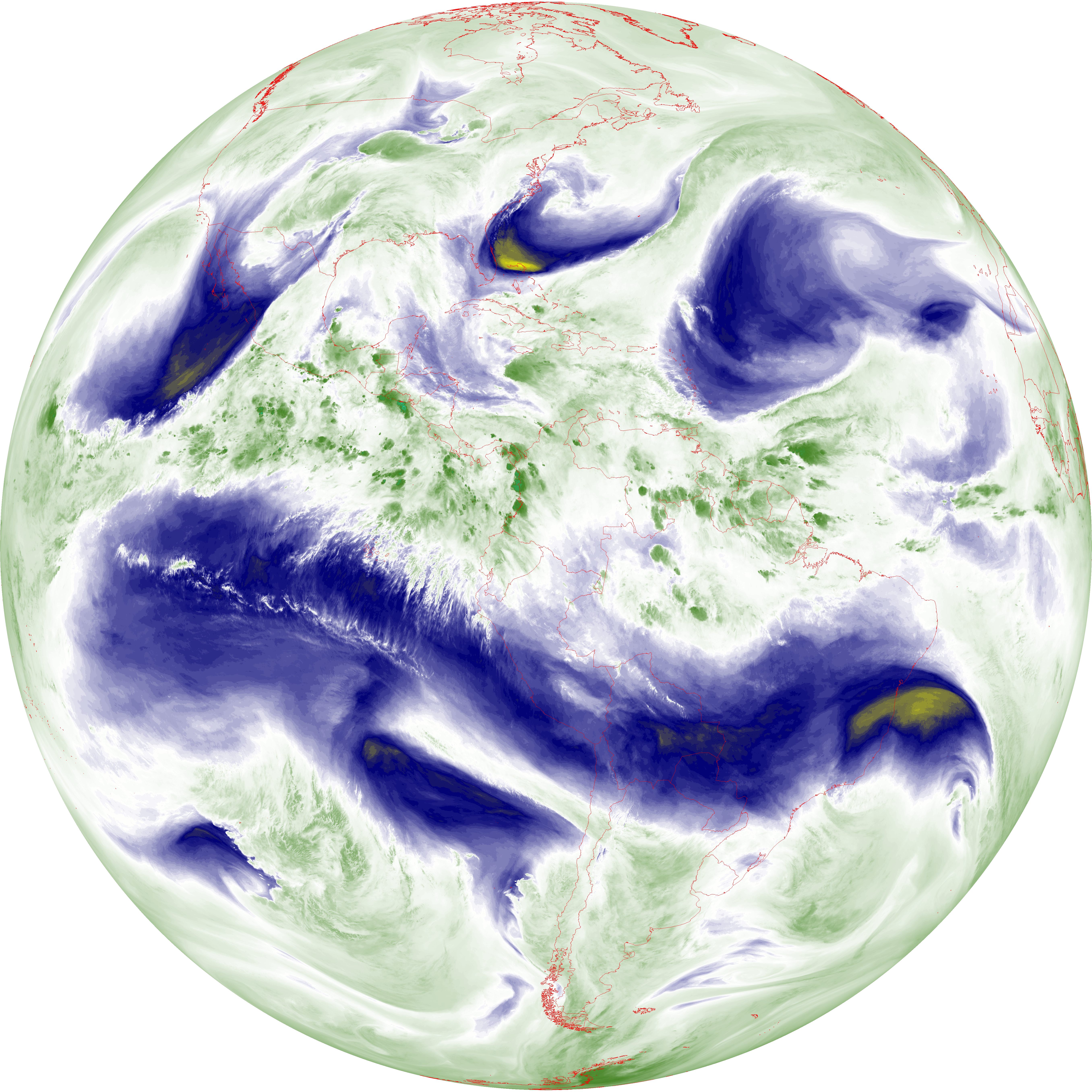
| abi_rgb_Mid-level_Tropospheric_Water_Vapor_map.png | 8788925 | 2026-Jun-06 06:20 |
| abi_rgb_Mid-level_Tropospheric_Water_Vapor.png | 8688120 | 2026-Jun-06 06:20 |
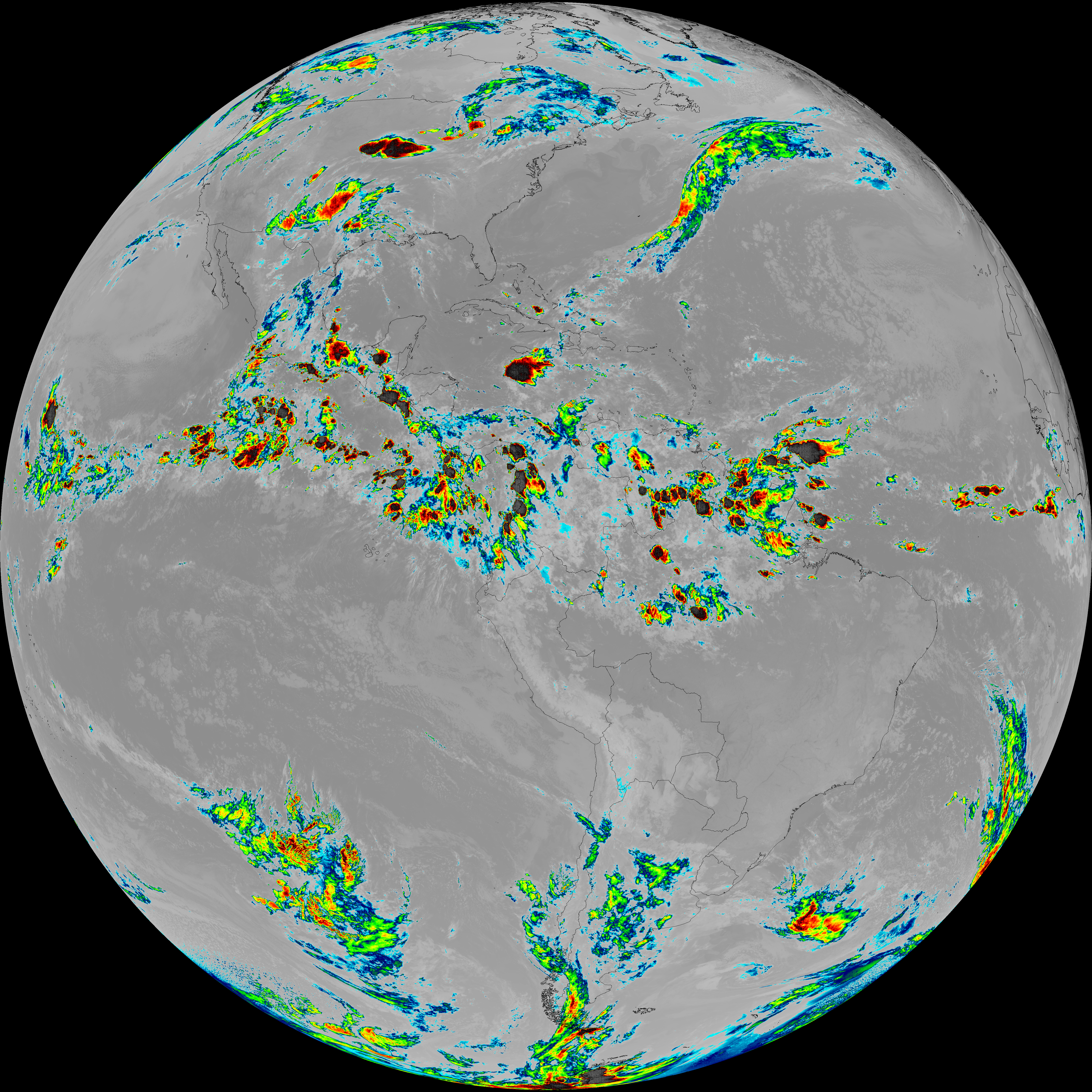
| abi_rgb_Infrared_Longwave_Window_Band_map.png | 14202453 | 2026-Jun-06 06:24 |
| abi_rgb_Infrared_Longwave_Window_Band.png | 14158193 | 2026-Jun-06 06:24 |
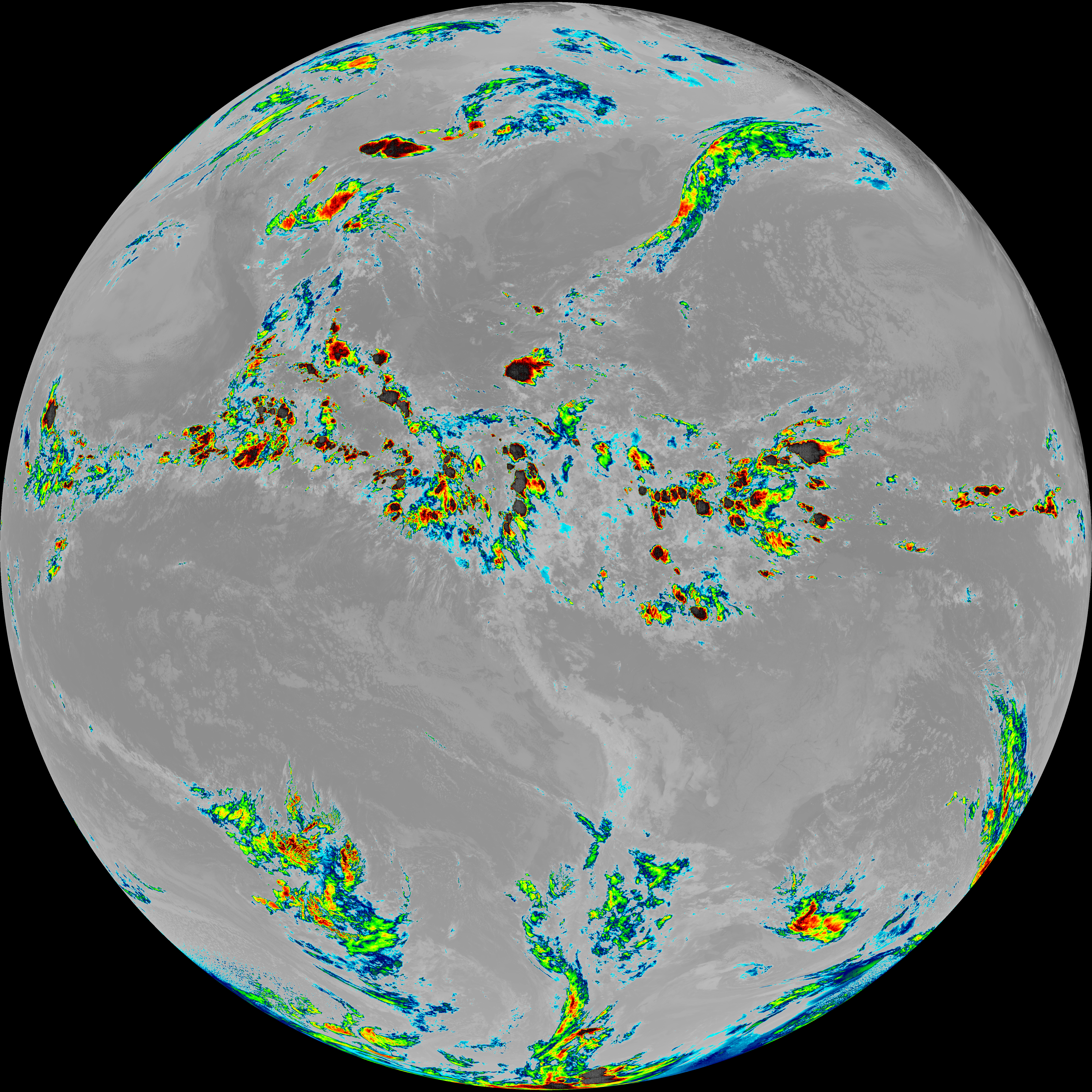
| abi_rgb_Dirty_Longwave_Window_map.png | 13885560 | 2026-Jun-06 06:27 |
| abi_rgb_Dirty_Longwave_Window_-_CIRA_map.png | 12202798 | 2026-Jun-06 06:27 |
| abi_rgb_Dirty_Longwave_Window_-_CIRA.png | 12144159 | 2026-Jun-06 06:27 |
| abi_rgb_Dirty_Longwave_Window.png | 13838720 | 2026-Jun-06 06:27 |
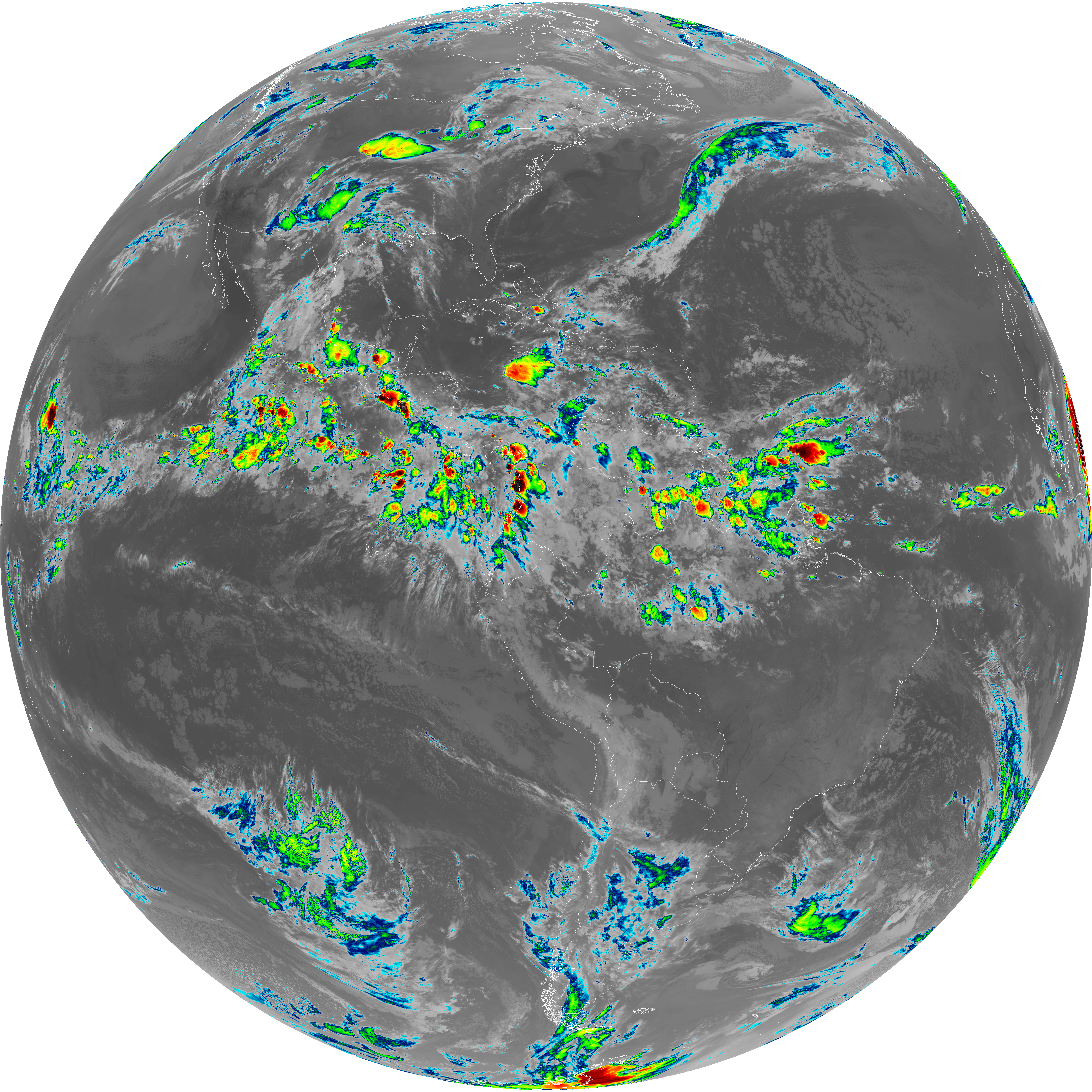
| abi_rgb_Clean_Longwave_IR_Window_Band_map.png | 14022901 | 2026-Jun-06 06:16 |
| abi_rgb_Clean_Longwave_IR_Window_Band.png | 13978862 | 2026-Jun-06 06:16 |
| G19_9_20260606T060021Z.png | 6478767 | 2026-Jun-06 06:20 |
| G19_8_20260606T060021Z.png | 5581023 | 2026-Jun-06 06:18 |
| G19_7_20260606T060021Z.png | 11341653 | 2026-Jun-06 06:13 |
| G19_2_20260606T060021Z.png | 617711 | 2026-Jun-06 06:16 |
| G19_15_20260606T060021Z.png | 10319110 | 2026-Jun-06 06:27 |
| G19_14_20260606T060021Z.png | 10588934 | 2026-Jun-06 06:23 |
| G19_13_20260606T060021Z.png | 10427603 | 2026-Jun-06 06:16 |