| Parent directory/ | - | - |
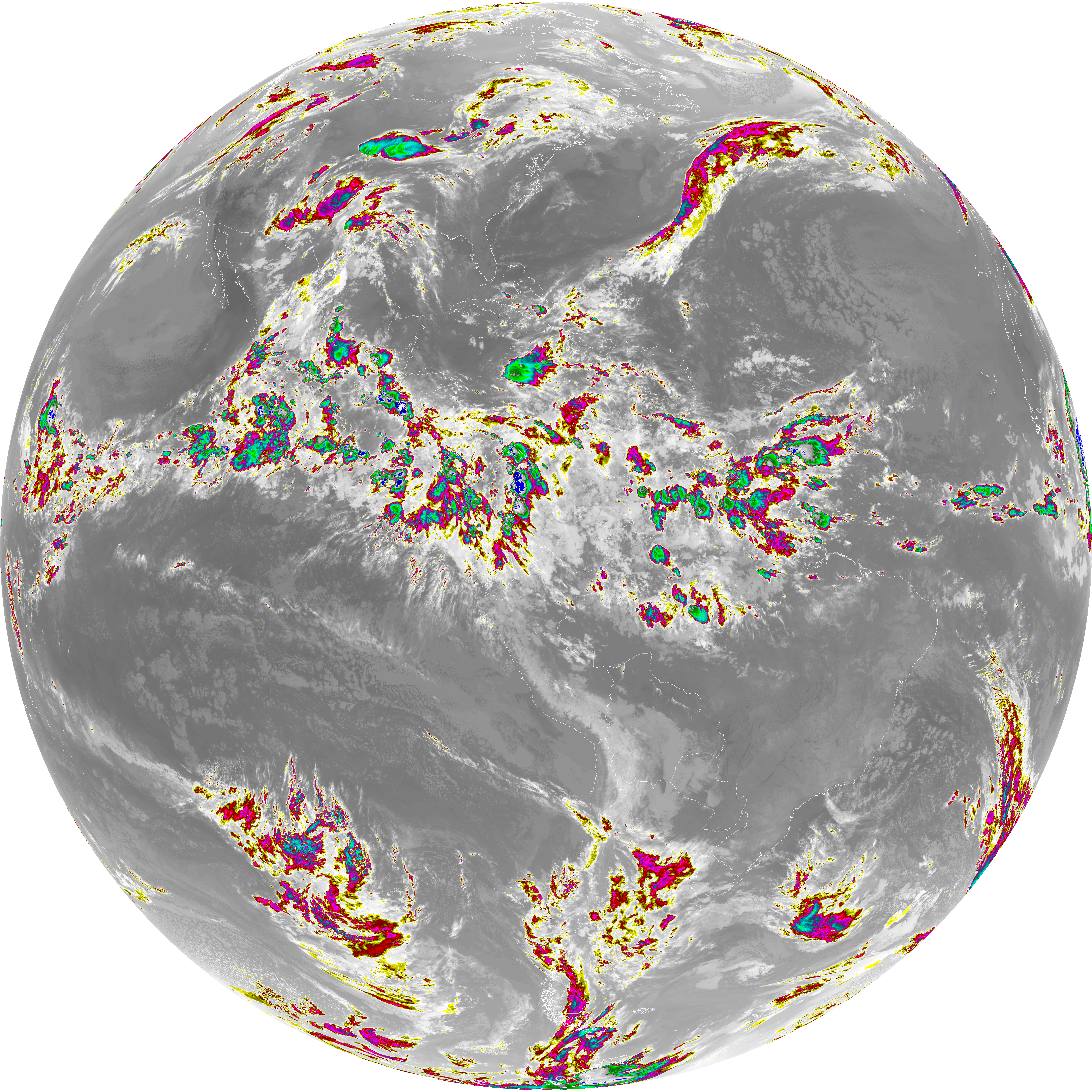
| abi_rgb_Dirty_Longwave_Window_-_CIRA_map.png | 12198844 | 2026-Jun-06 06:57 |
| abi_rgb_Dirty_Longwave_Window_-_CIRA.png | 12139562 | 2026-Jun-06 06:57 |
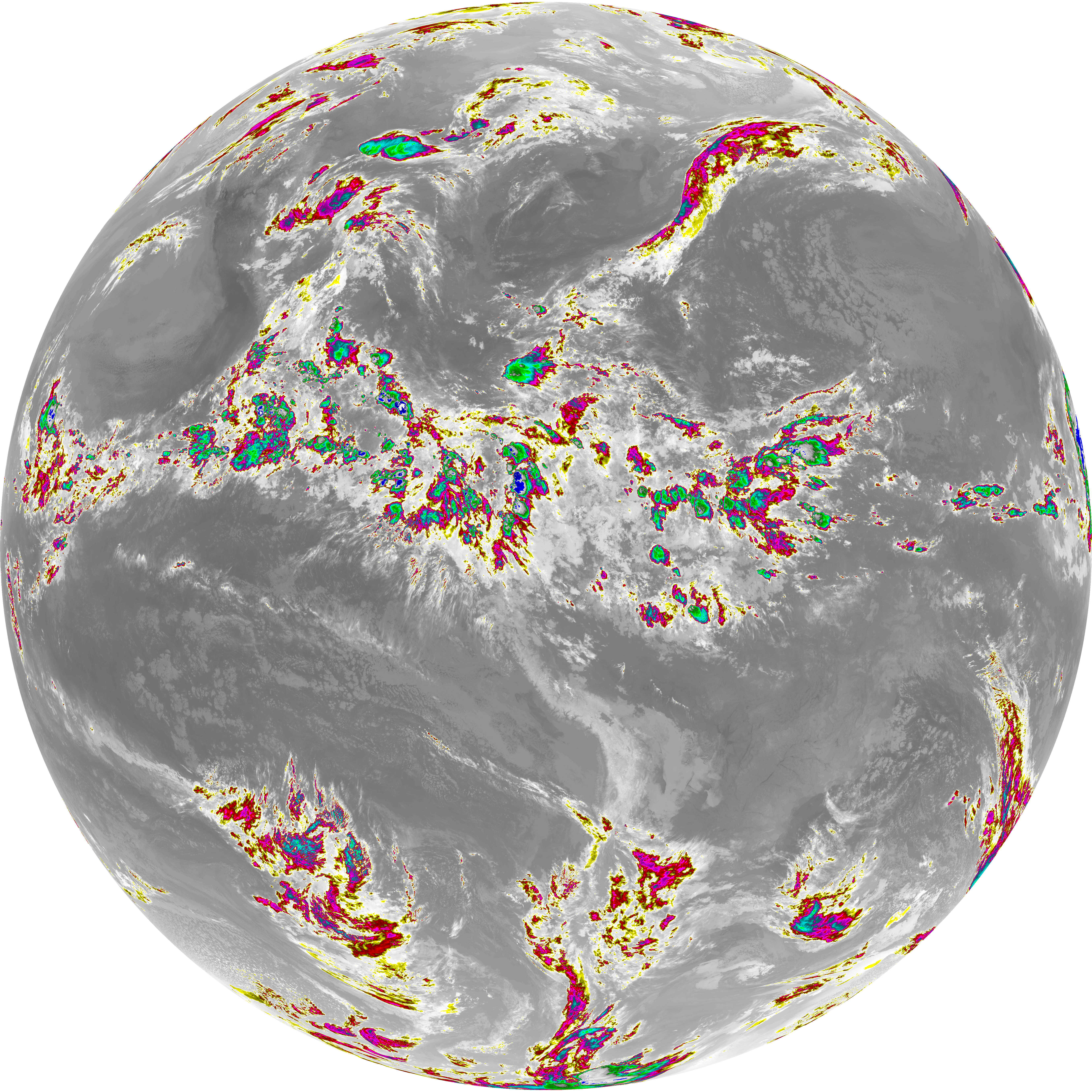
| abi_rgb_Dirty_Longwave_Window_map.png | 13888663 | 2026-Jun-06 06:57 |
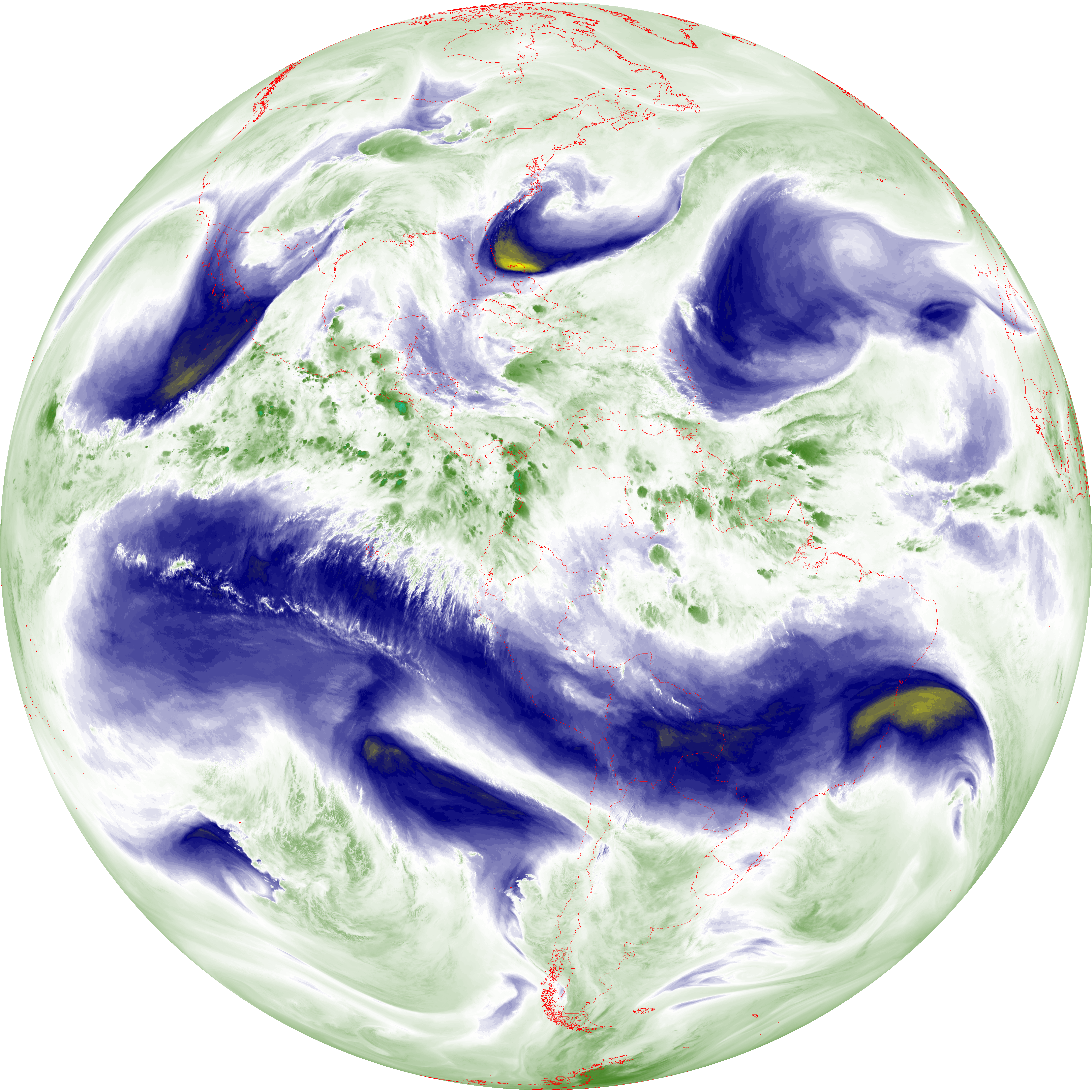
| abi_rgb_Dirty_Longwave_Window.png | 13841759 | 2026-Jun-06 06:57 |
| G19_15_20260606T063021Z.png | 10322766 | 2026-Jun-06 06:57 |
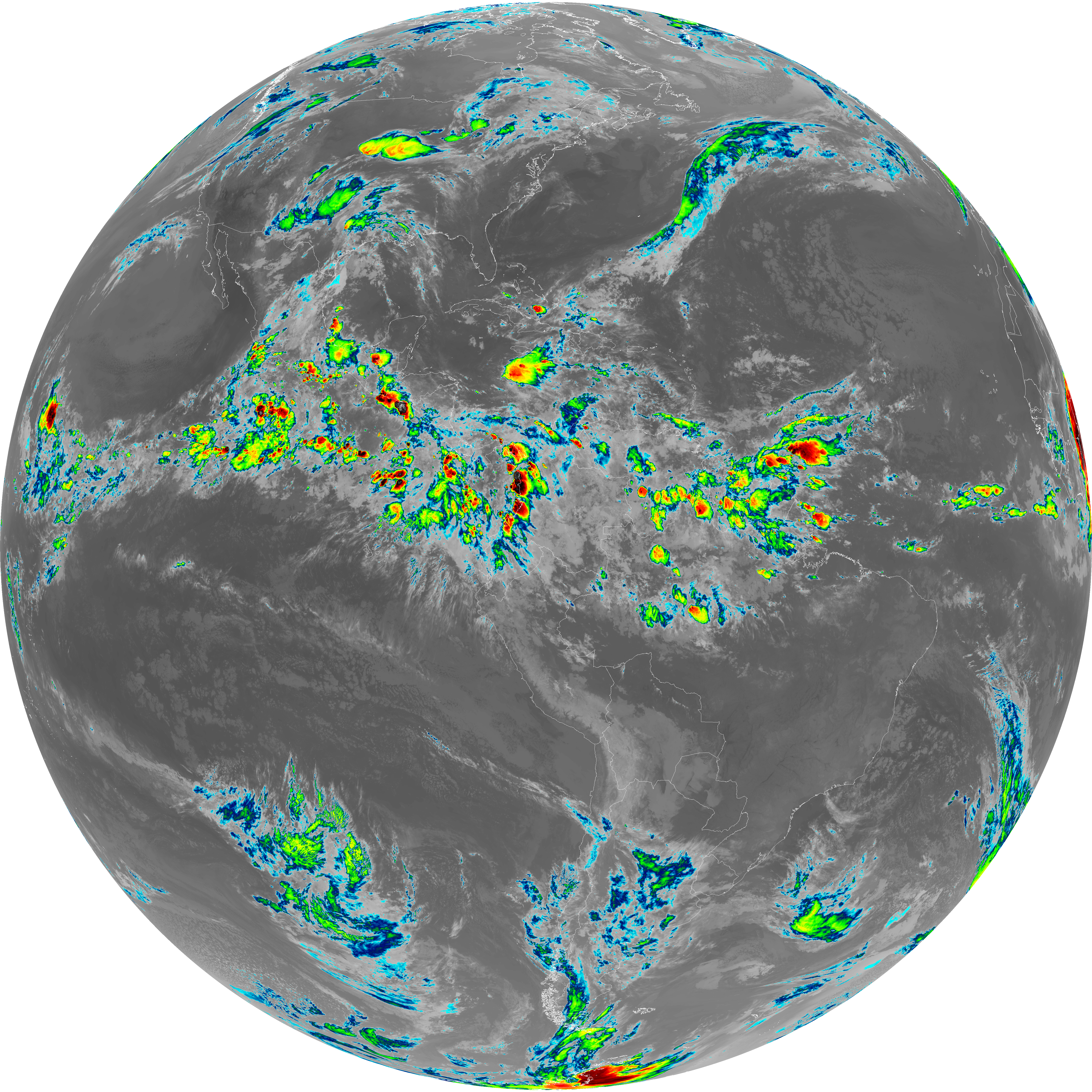
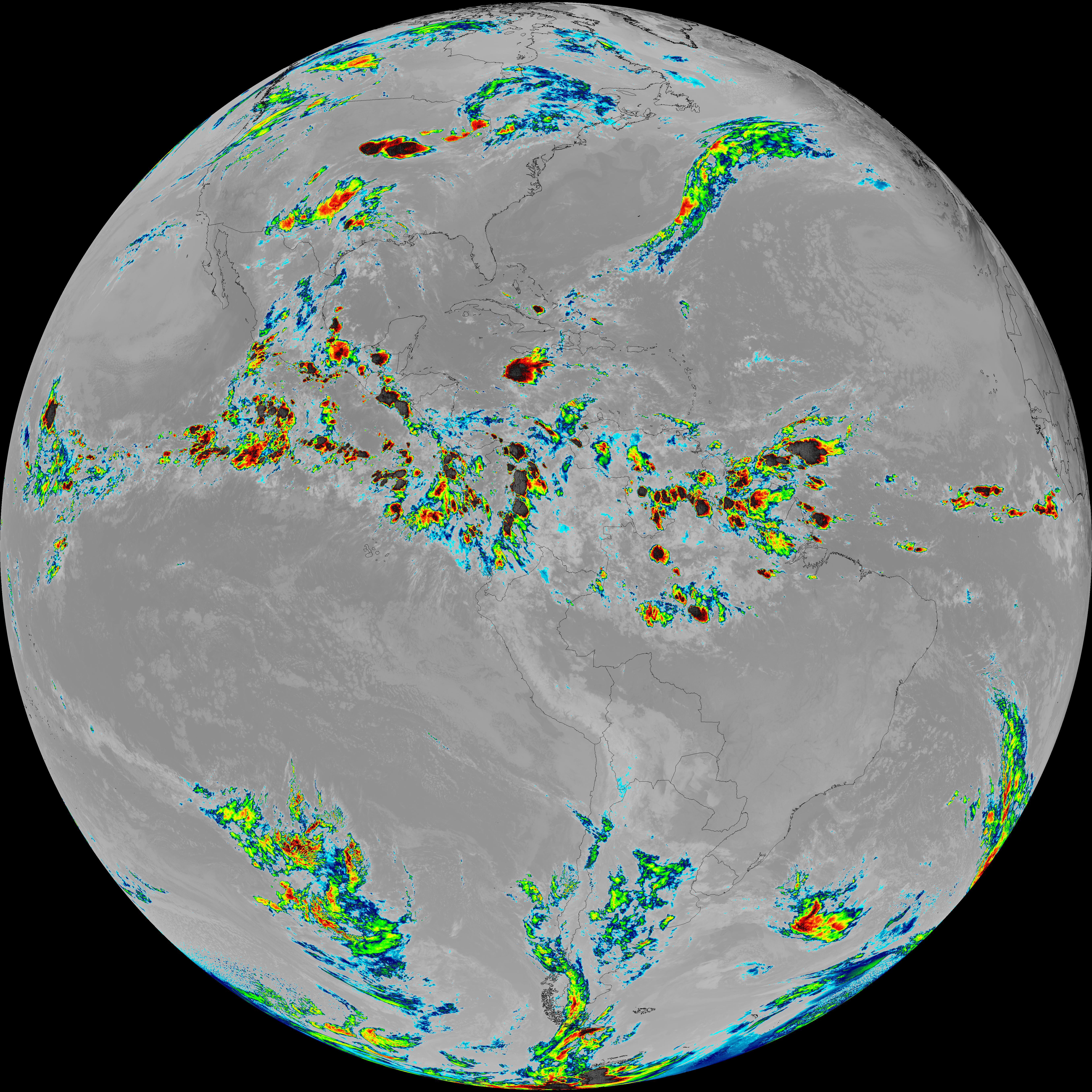
| abi_rgb_Infrared_Longwave_Window_Band_map.png | 14205657 | 2026-Jun-06 06:54 |
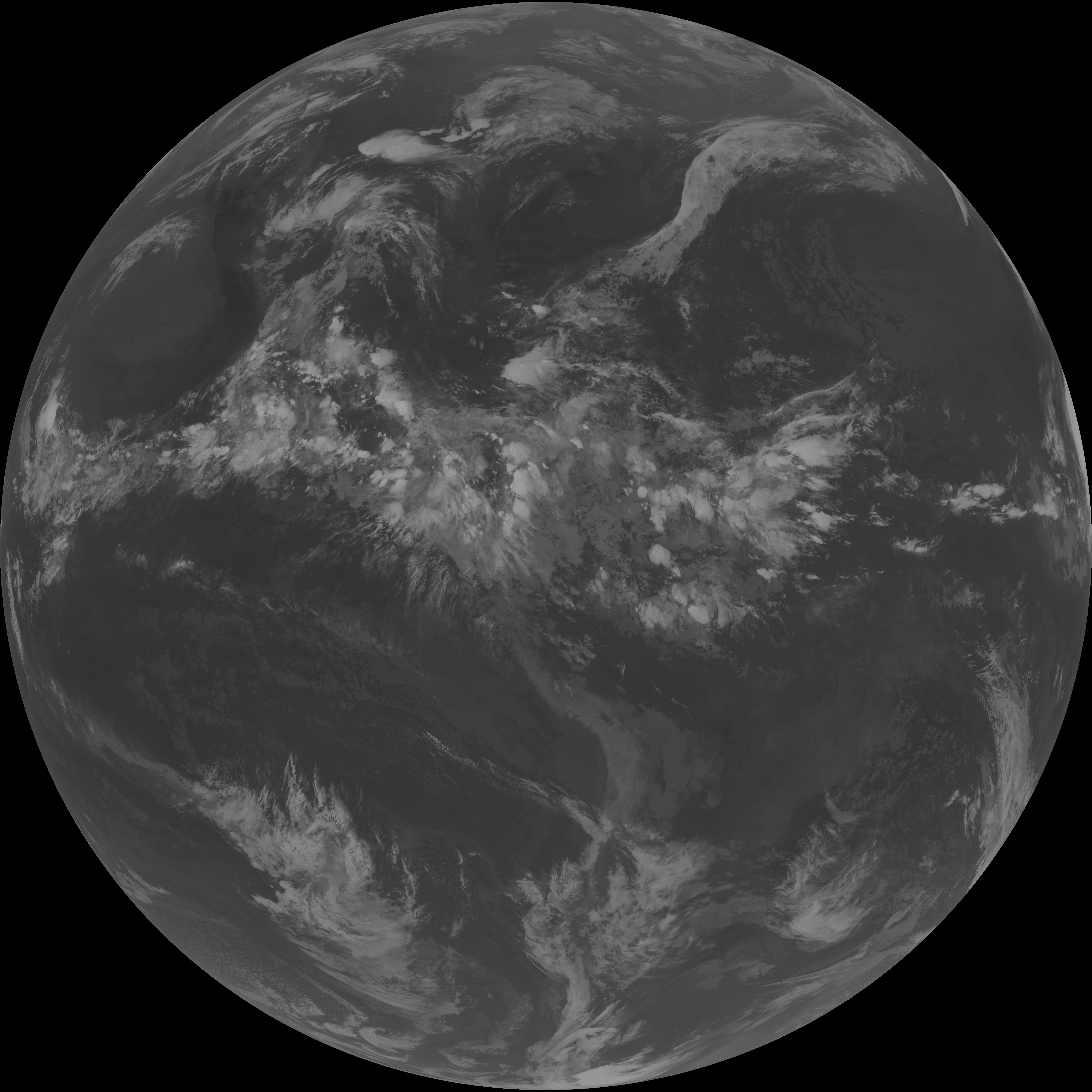
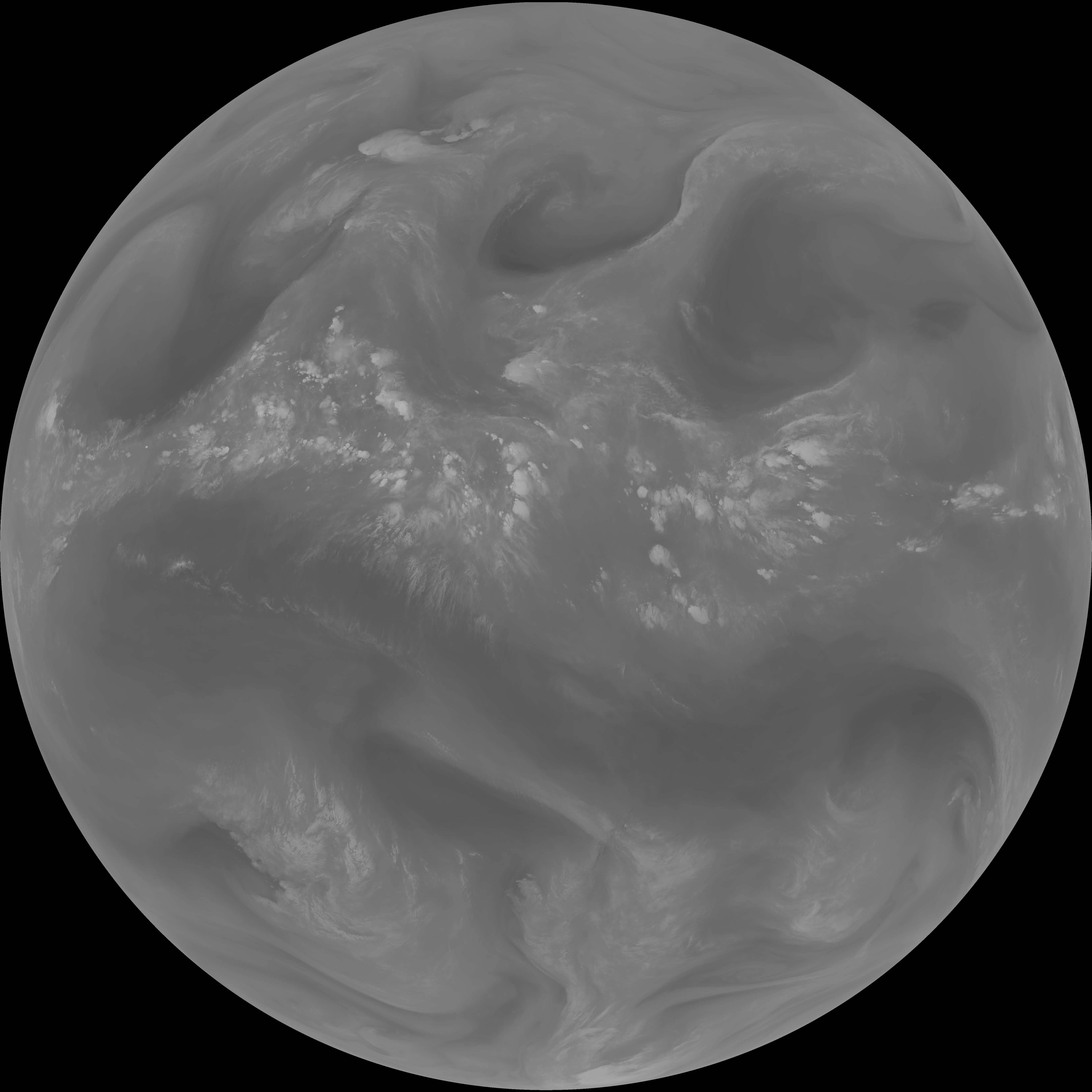
| abi_rgb_Infrared_Longwave_Window_Band.png | 14161508 | 2026-Jun-06 06:54 |
| G19_14_20260606T063021Z.png | 10589533 | 2026-Jun-06 06:54 |
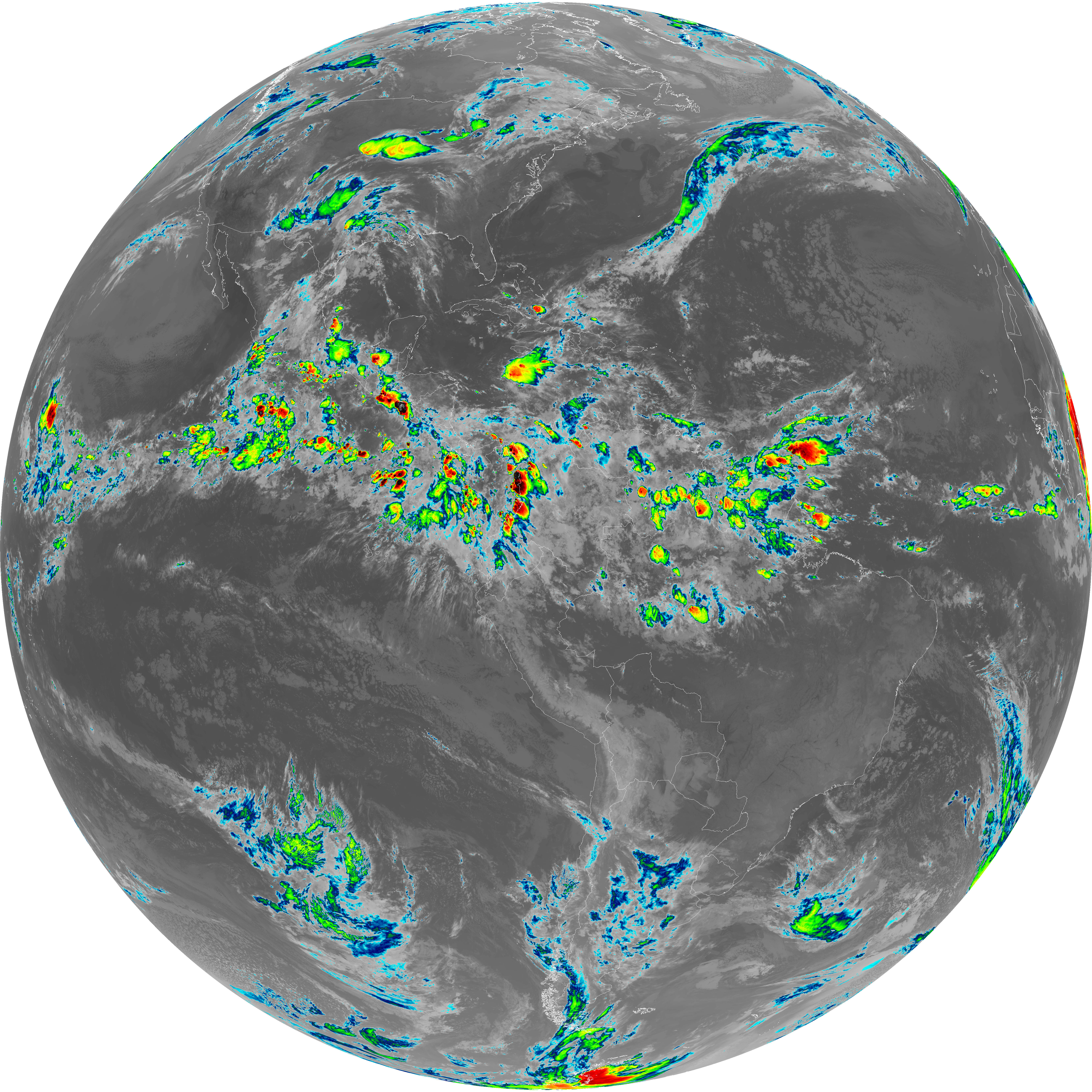
| abi_rgb_Mid-level_Tropospheric_Water_Vapor_map.png | 8774184 | 2026-Jun-06 06:51 |
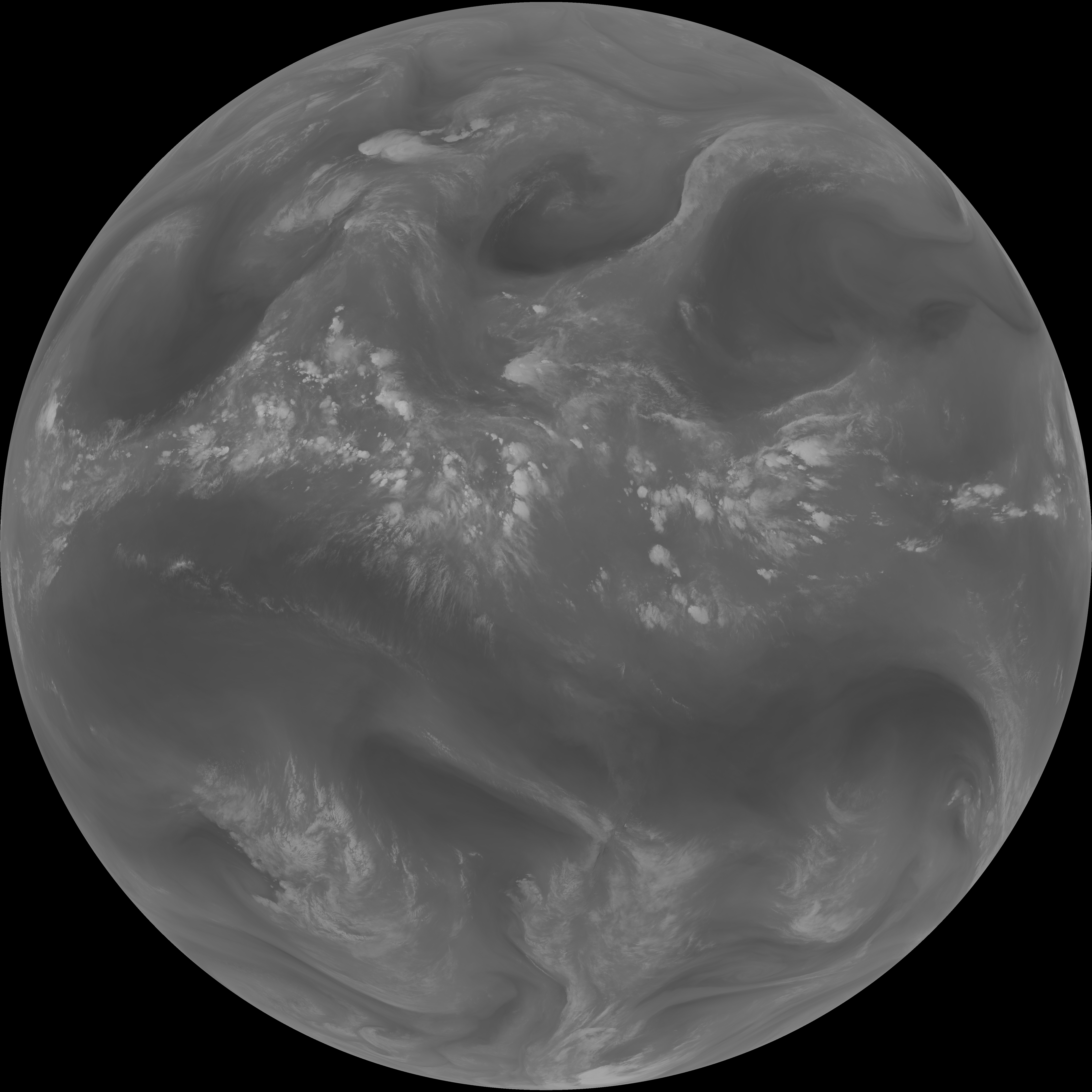
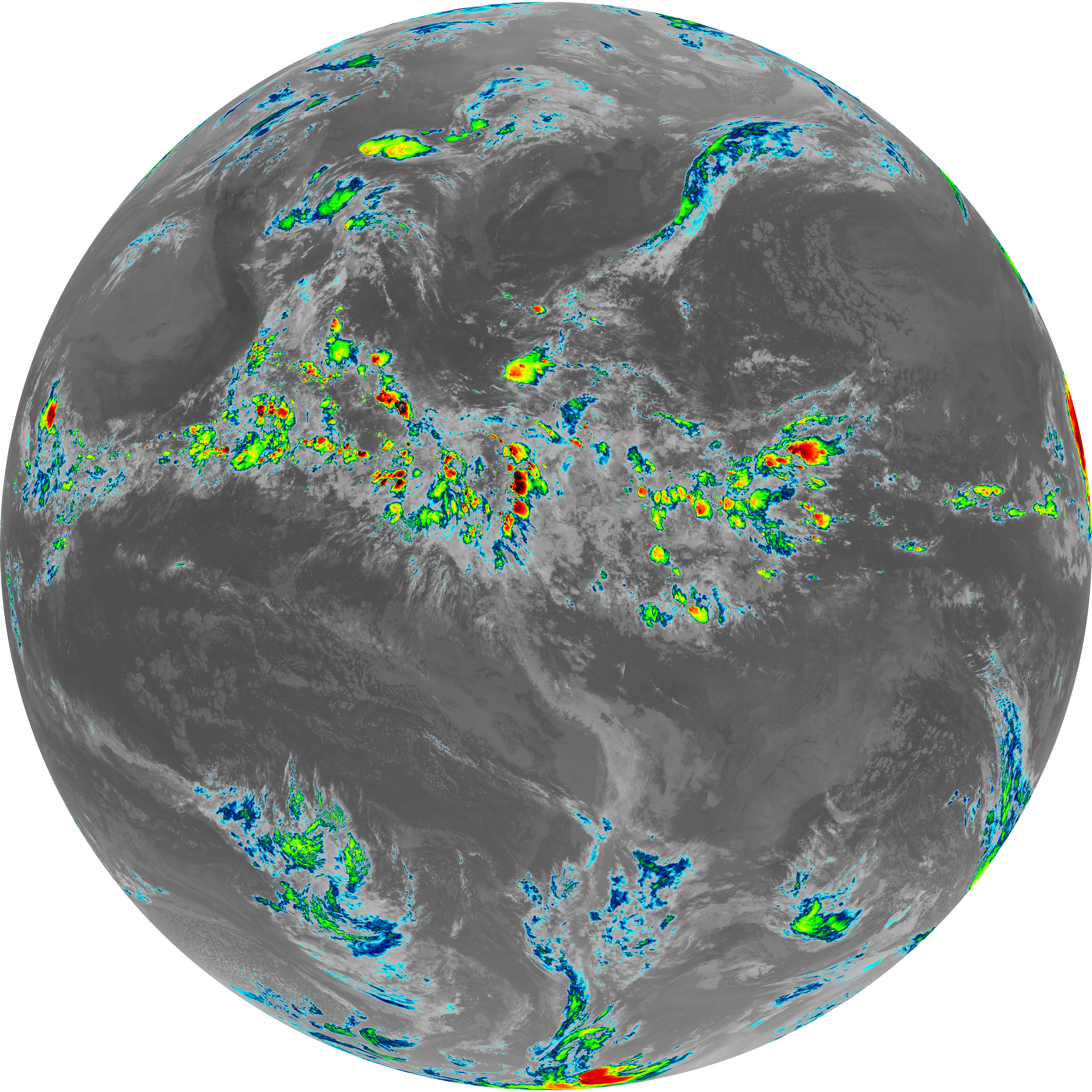
| abi_rgb_Mid-level_Tropospheric_Water_Vapor.png | 8672293 | 2026-Jun-06 06:51 |
| G19_9_20260606T063021Z.png | 6466243 | 2026-Jun-06 06:50 |
| abi_rgb_Upper-Level_Tropospheric_Water_Vapor_map.png | 7571098 | 2026-Jun-06 06:49 |
| abi_rgb_Upper-Level_Tropospheric_Water_Vapor.png | 7458285 | 2026-Jun-06 06:49 |
| G19_8_20260606T063021Z.png | 5575852 | 2026-Jun-06 06:48 |
| G19_2_20260606T063021Z.png | 926190 | 2026-Jun-06 06:46 |
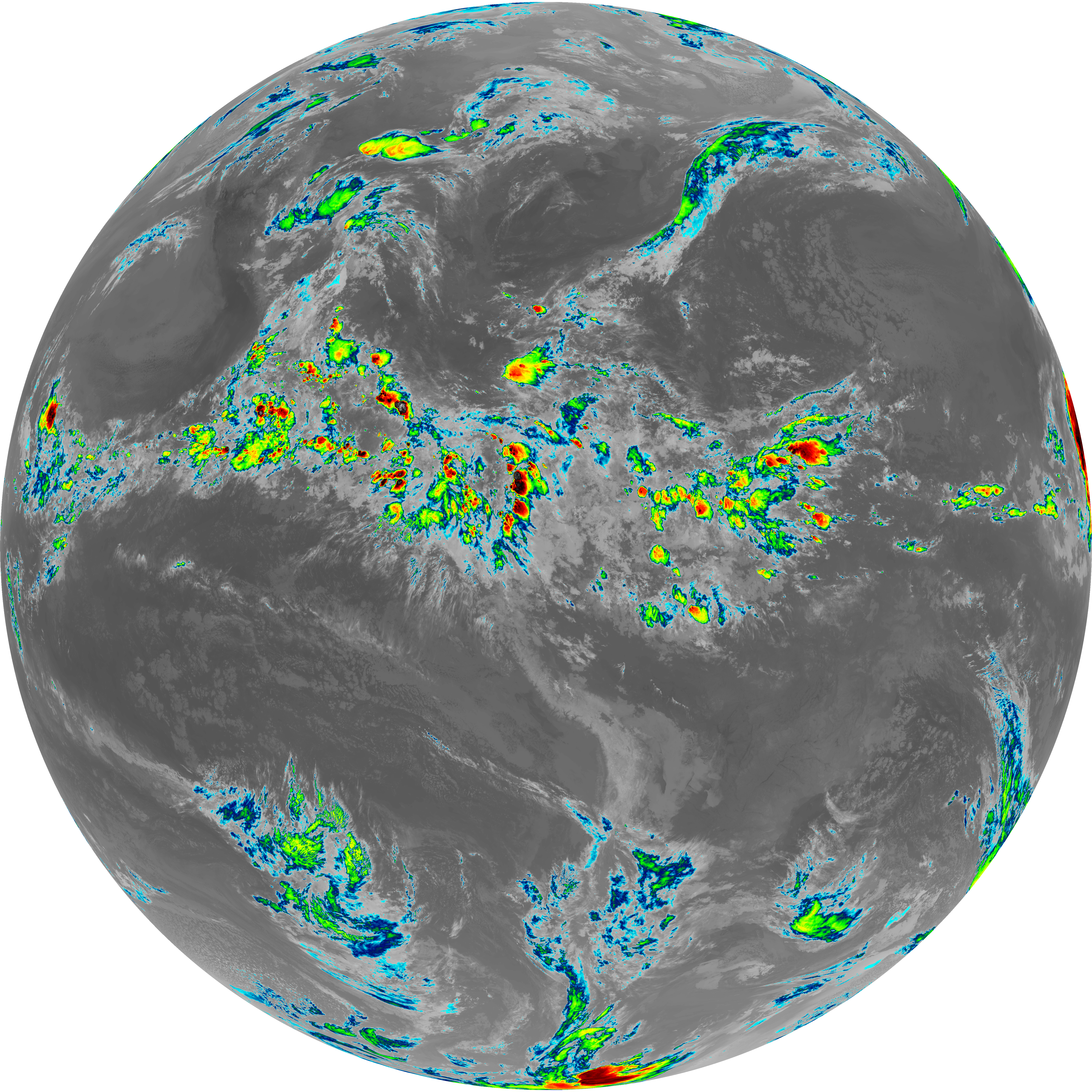
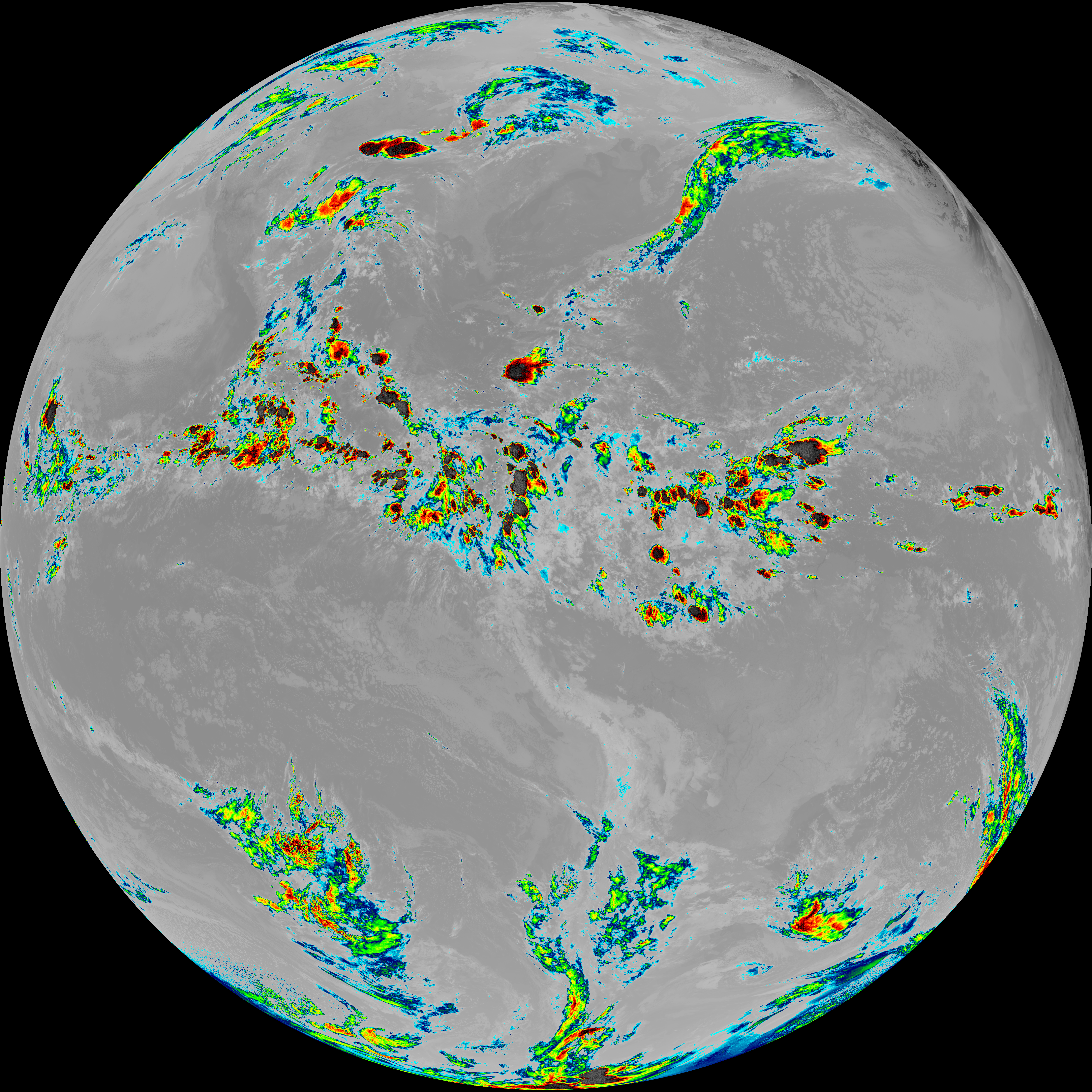
| abi_rgb_Clean_Longwave_IR_Window_Band_map.png | 14029863 | 2026-Jun-06 06:46 |
| abi_rgb_Clean_Longwave_IR_Window_Band.png | 13985454 | 2026-Jun-06 06:46 |
| G19_13_20260606T063021Z.png | 10435425 | 2026-Jun-06 06:46 |
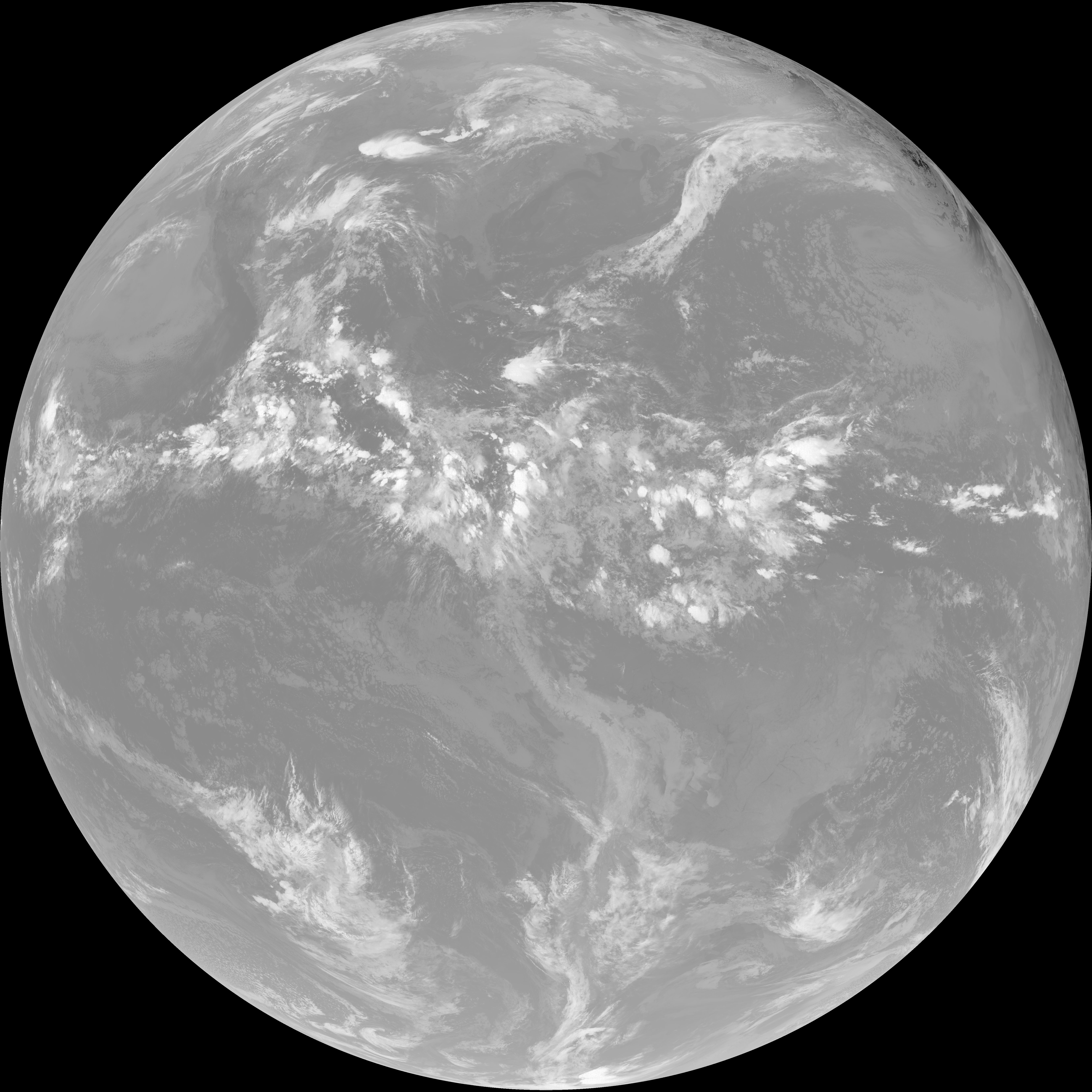
| abi_rgb_Shortwave_Window_Band_map.png | 15687100 | 2026-Jun-06 06:43 |
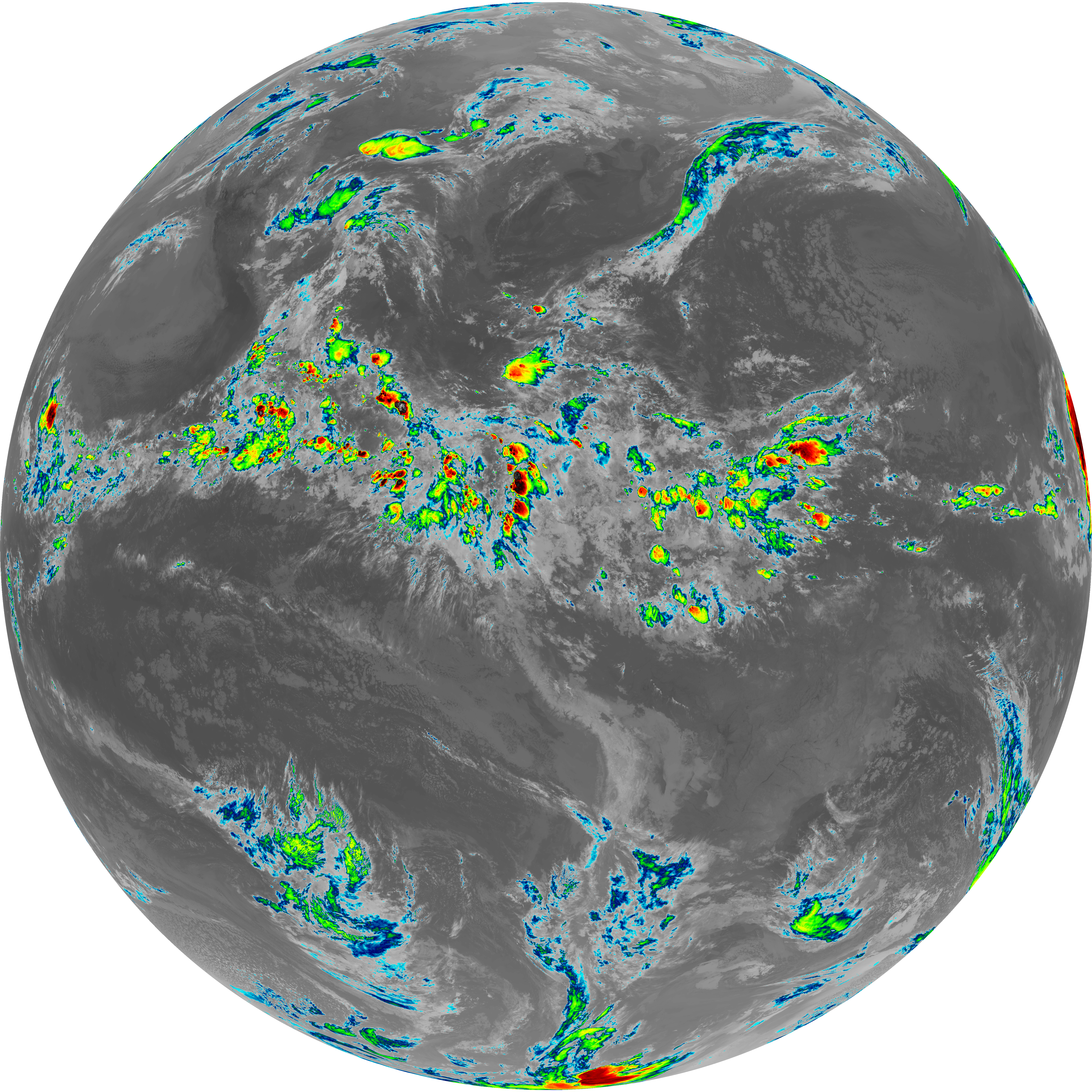
| abi_rgb_Shortwave_Window_Band.png | 15636745 | 2026-Jun-06 06:43 |
| G19_7_20260606T063021Z.png | 11422025 | 2026-Jun-06 06:43 |