| Parent directory/ | - | - |
| abi_rgb_Shortwave_Window_Band_map.png | 15740546 | 2026-Jun-06 07:14 |
| abi_rgb_Shortwave_Window_Band.png | 15689966 | 2026-Jun-06 07:13 |
| abi_rgb_Infrared_Longwave_Window_Band_map.png | 14209233 | 2026-Jun-06 07:24 |
| abi_rgb_Infrared_Longwave_Window_Band.png | 14165977 | 2026-Jun-06 07:24 |
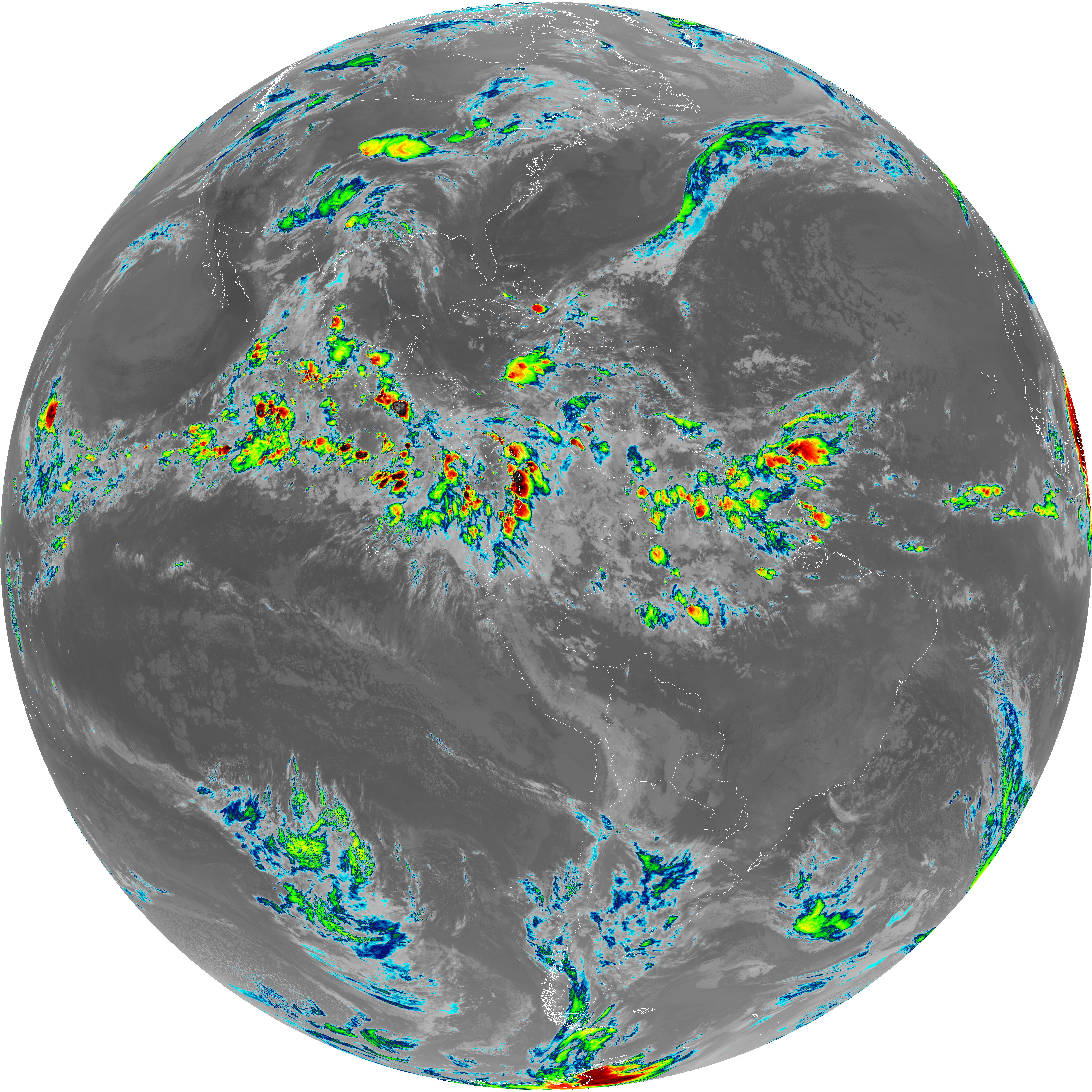
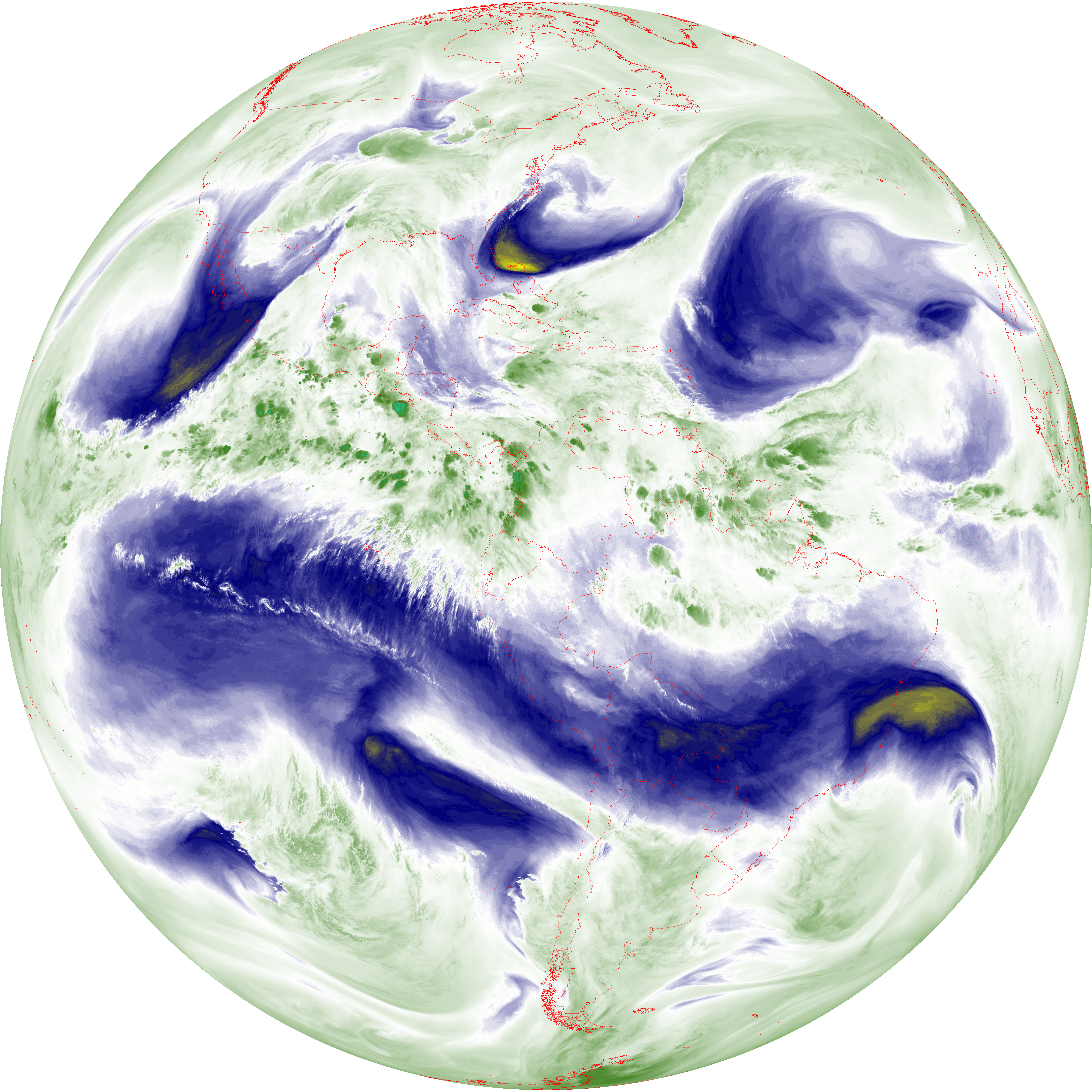
| abi_rgb_Clean_Longwave_IR_Window_Band_map.png | 14041712 | 2026-Jun-06 07:17 |
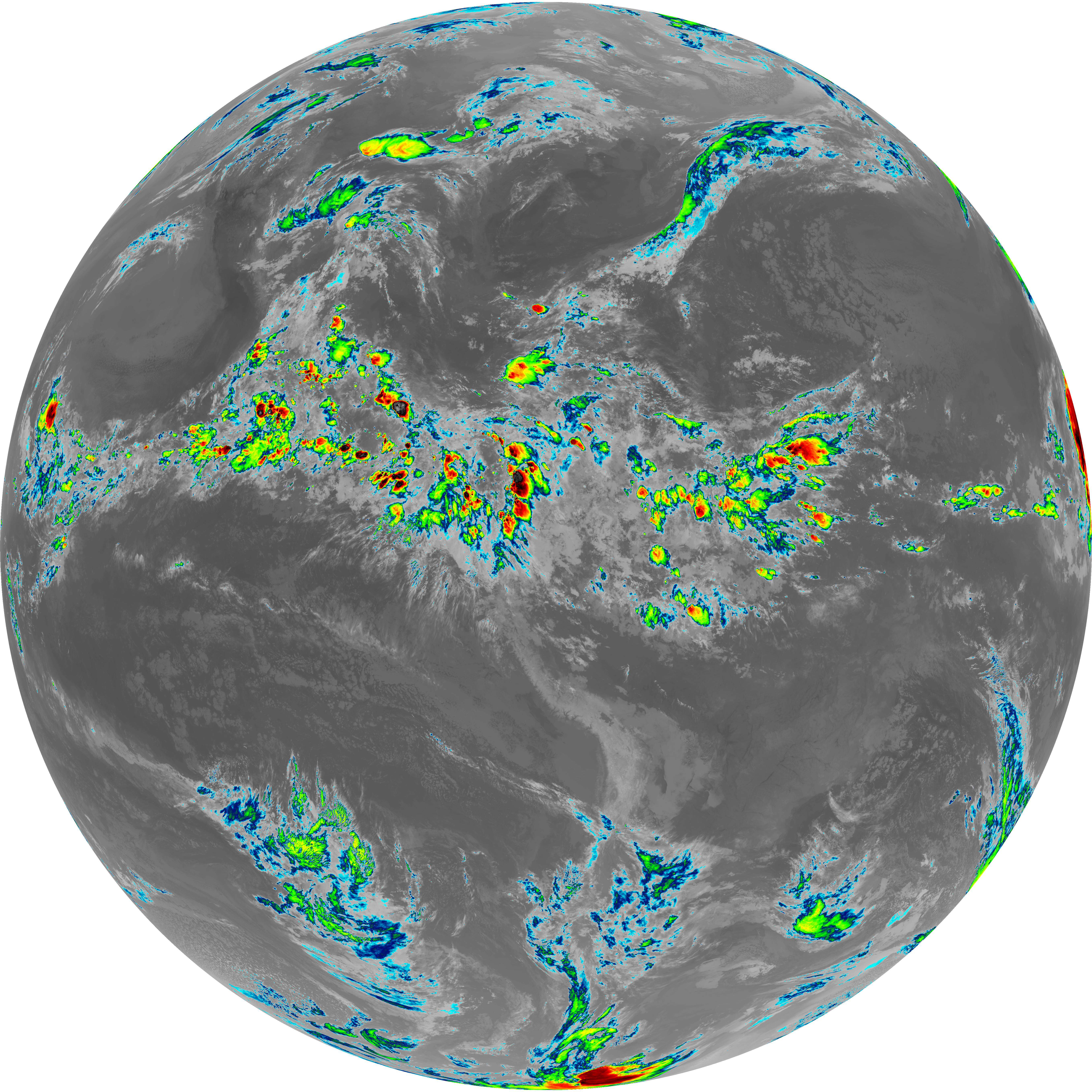
| abi_rgb_Clean_Longwave_IR_Window_Band.png | 13997318 | 2026-Jun-06 07:17 |
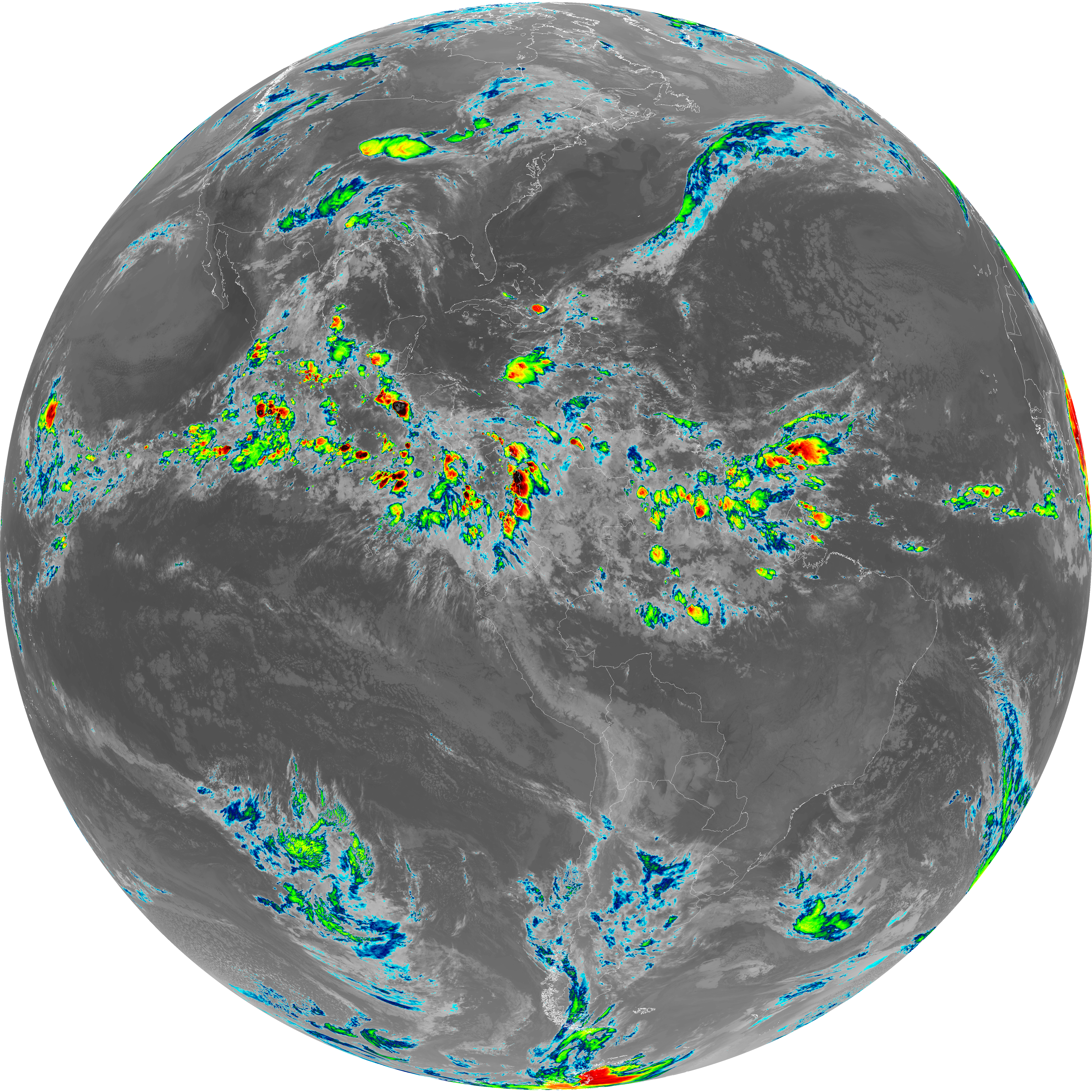
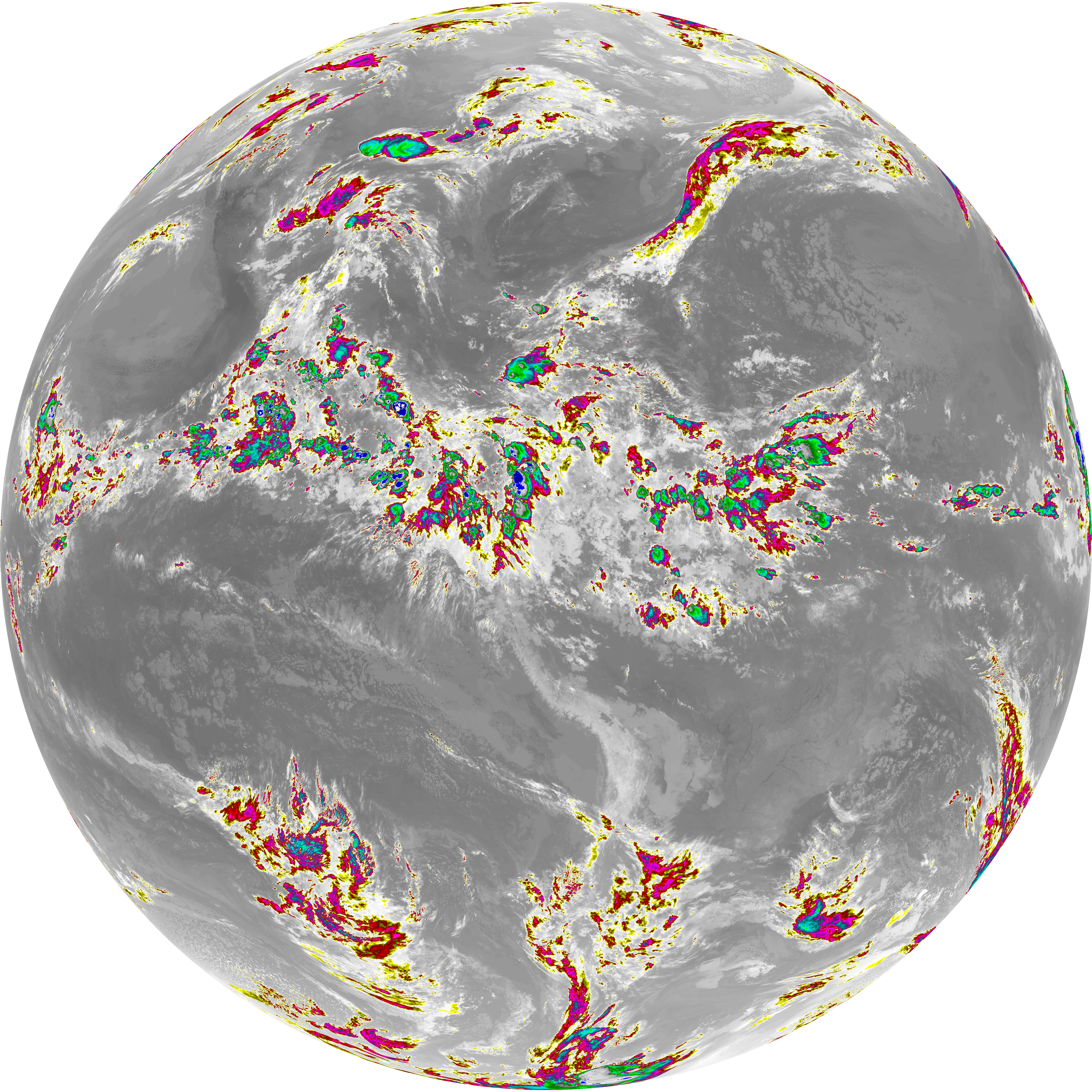
| abi_rgb_Dirty_Longwave_Window_map.png | 13893850 | 2026-Jun-06 07:27 |
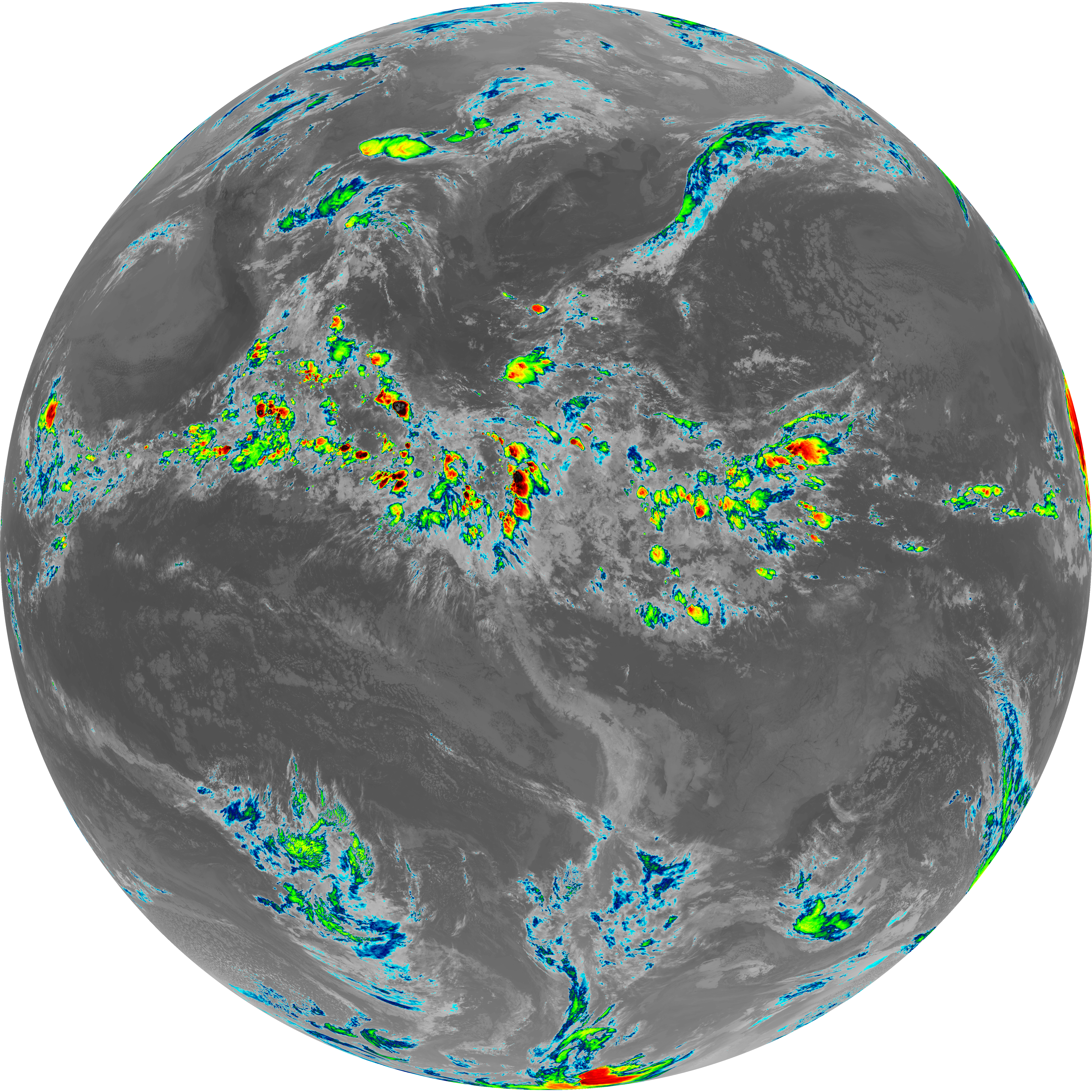
| abi_rgb_Dirty_Longwave_Window.png | 13846525 | 2026-Jun-06 07:27 |
| abi_rgb_Dirty_Longwave_Window_-_CIRA_map.png | 12197564 | 2026-Jun-06 07:28 |
| abi_rgb_Dirty_Longwave_Window_-_CIRA.png | 12138882 | 2026-Jun-06 07:28 |
| G19_7_20260606T070021Z.png | 11502117 | 2026-Jun-06 07:13 |
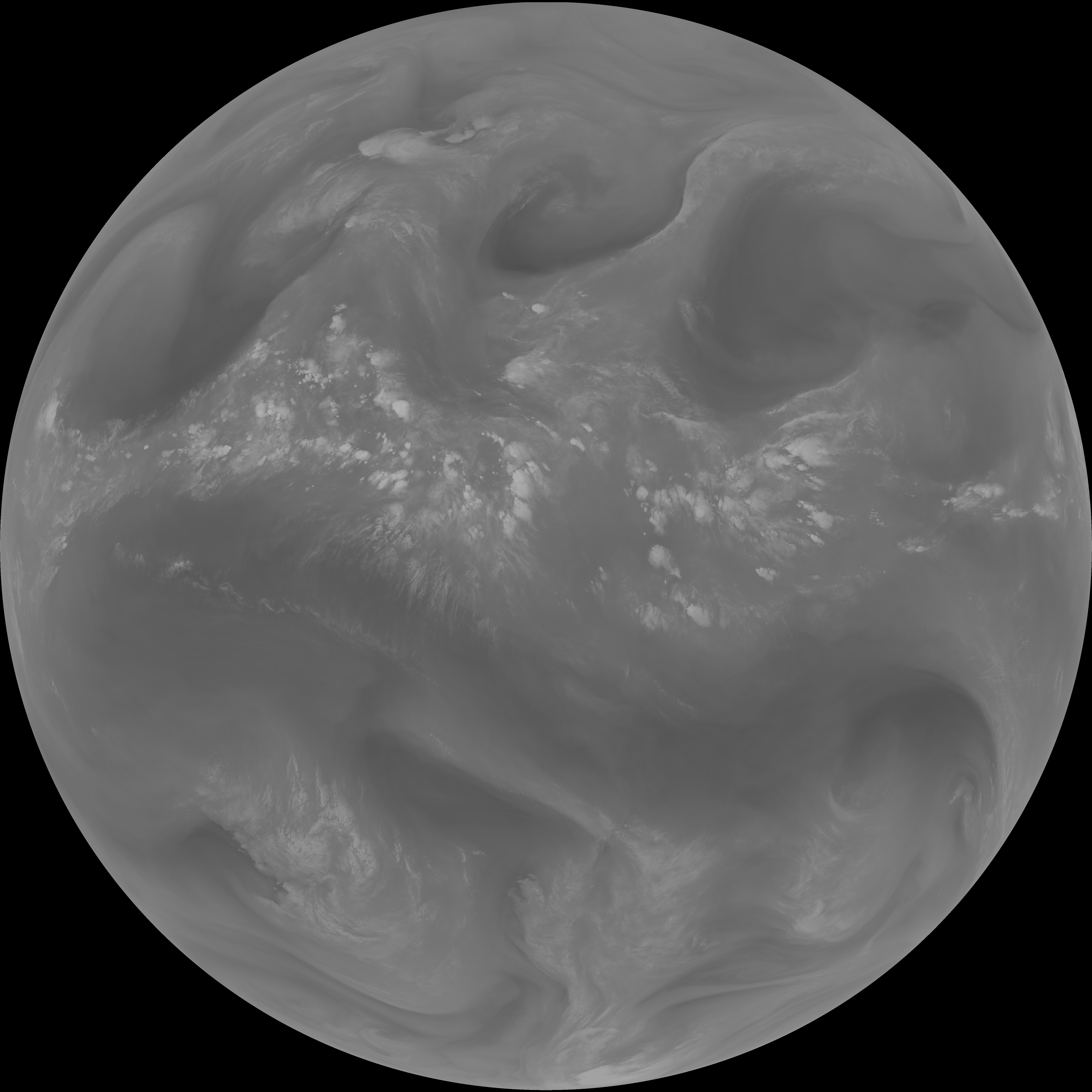
| G19_14_20260606T070021Z.png | 10591989 | 2026-Jun-06 07:24 |
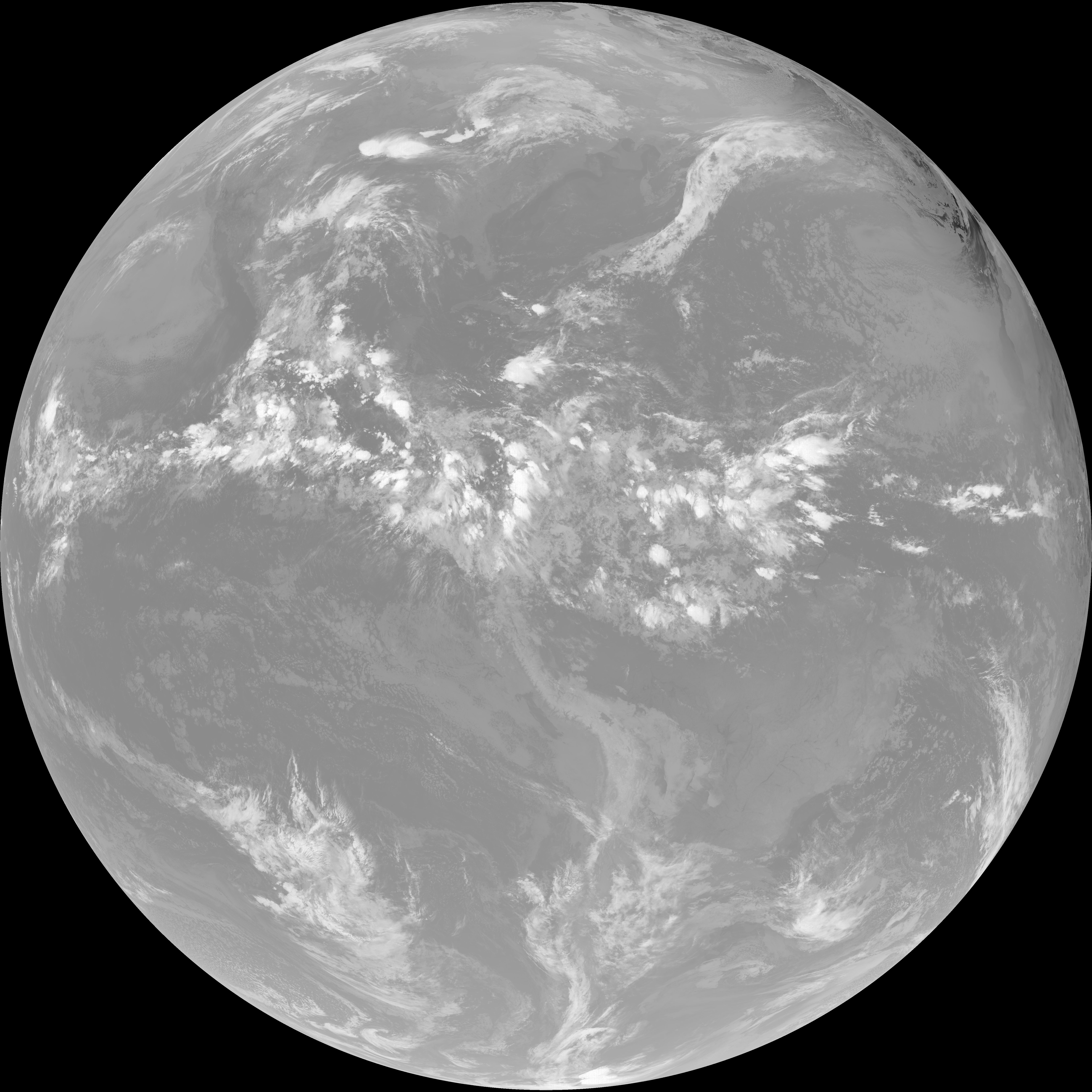
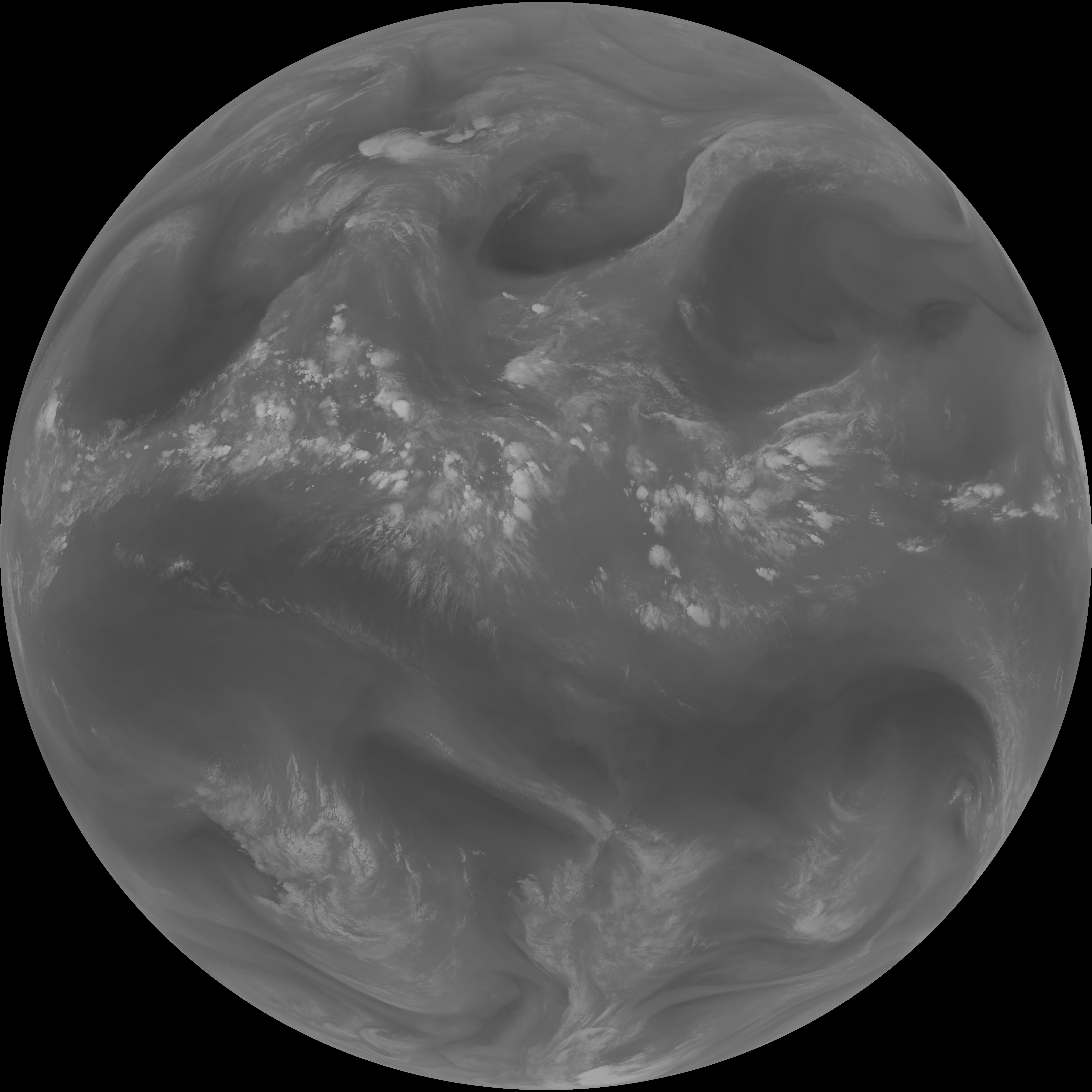
| G19_13_20260606T070021Z.png | 10438105 | 2026-Jun-06 07:16 |
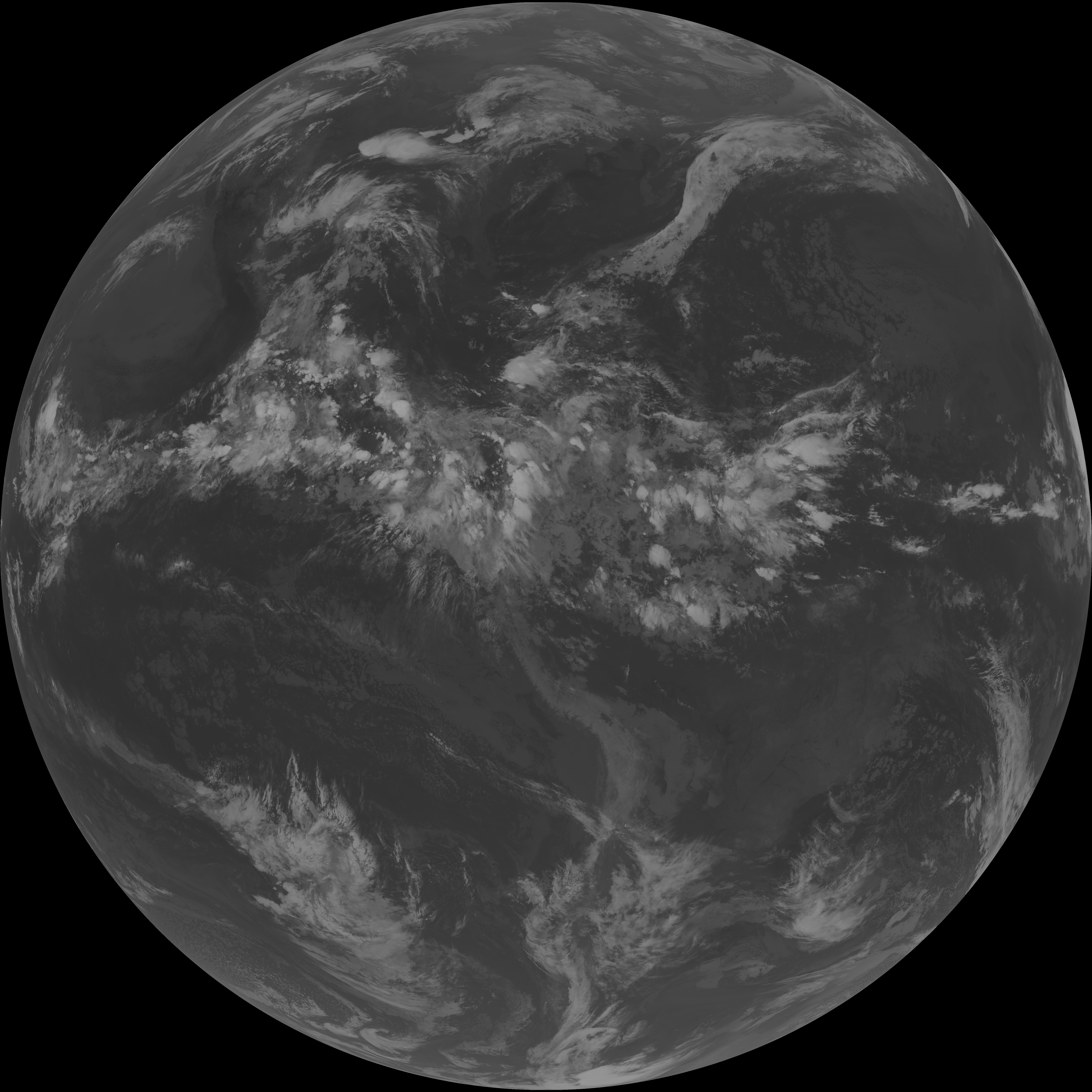
| G19_15_20260606T070021Z.png | 10324504 | 2026-Jun-06 07:27 |
| abi_rgb_Mid-level_Tropospheric_Water_Vapor_map.png | 8765277 | 2026-Jun-06 07:21 |
| abi_rgb_Mid-level_Tropospheric_Water_Vapor.png | 8662803 | 2026-Jun-06 07:21 |
| abi_rgb_Upper-Level_Tropospheric_Water_Vapor_map.png | 7554396 | 2026-Jun-06 07:19 |
| abi_rgb_Upper-Level_Tropospheric_Water_Vapor.png | 7441886 | 2026-Jun-06 07:19 |
| G19_9_20260606T070021Z.png | 6460977 | 2026-Jun-06 07:21 |
| G19_8_20260606T070021Z.png | 5568087 | 2026-Jun-06 07:19 |
| G19_2_20260606T070021Z.png | 1318627 | 2026-Jun-06 07:17 |