| Parent directory/ | - | - |
| abi_rgb_Shortwave_Window_Band_map.png | 15712778 | 2026-Jun-06 07:43 |
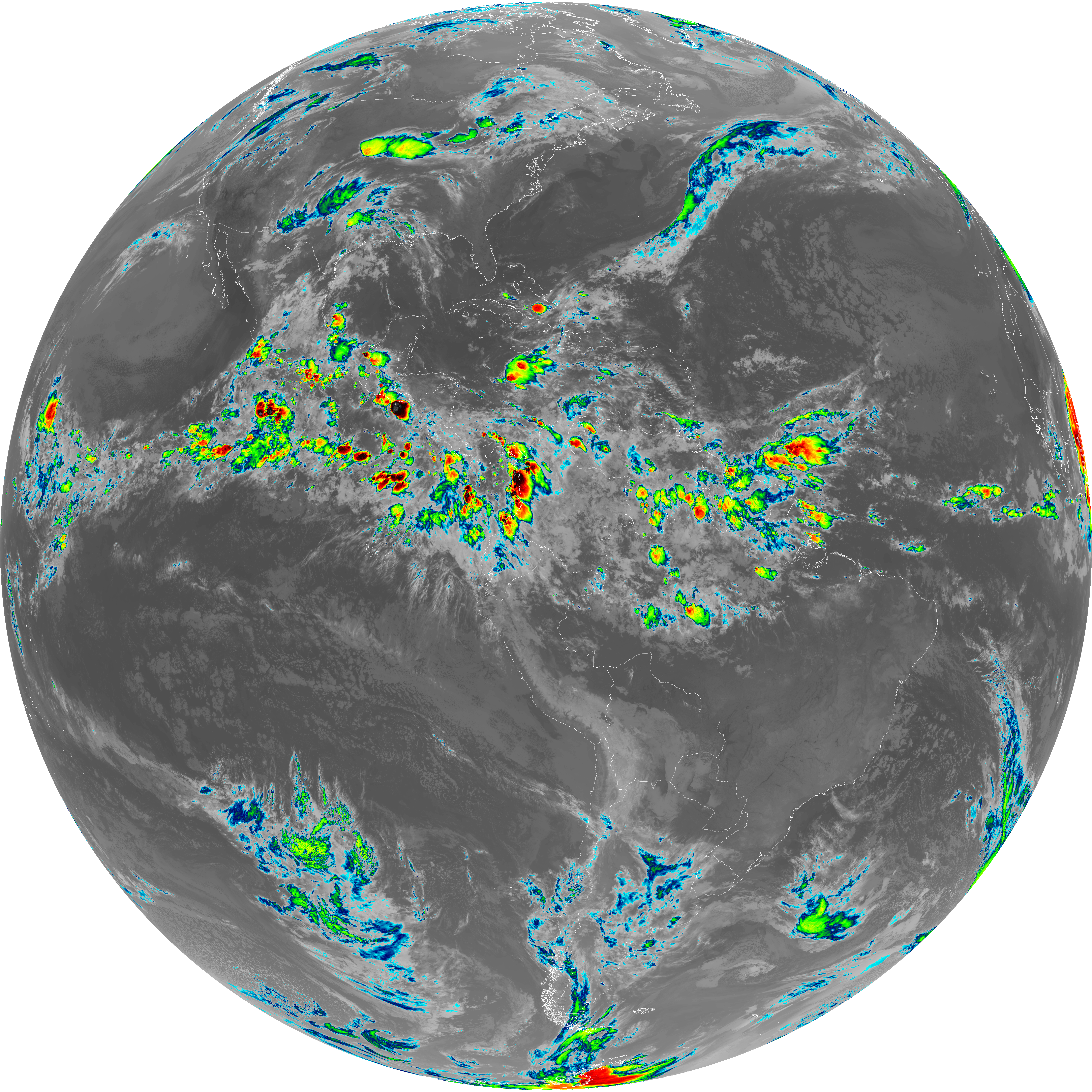
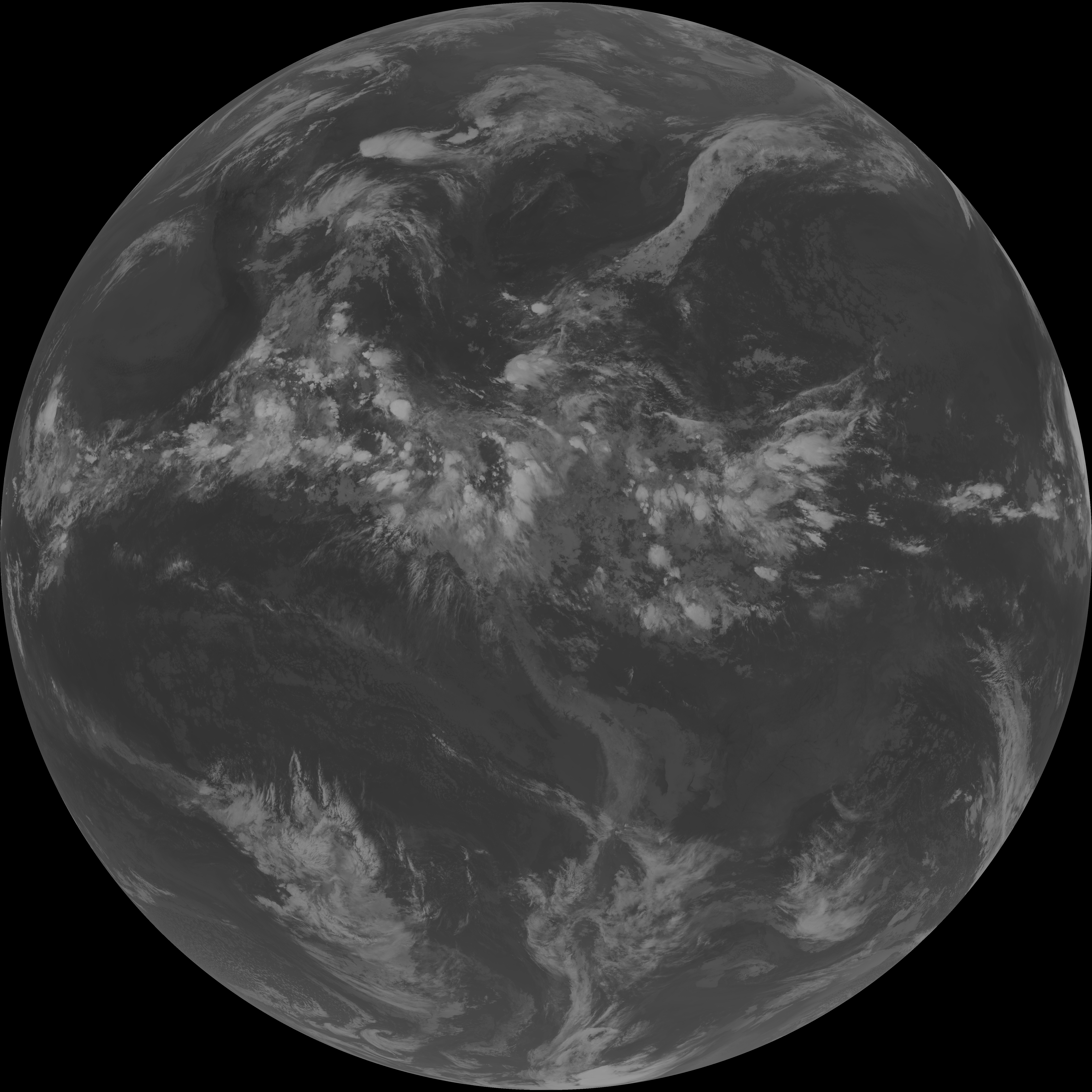
| abi_rgb_Shortwave_Window_Band.png | 15661515 | 2026-Jun-06 07:43 |
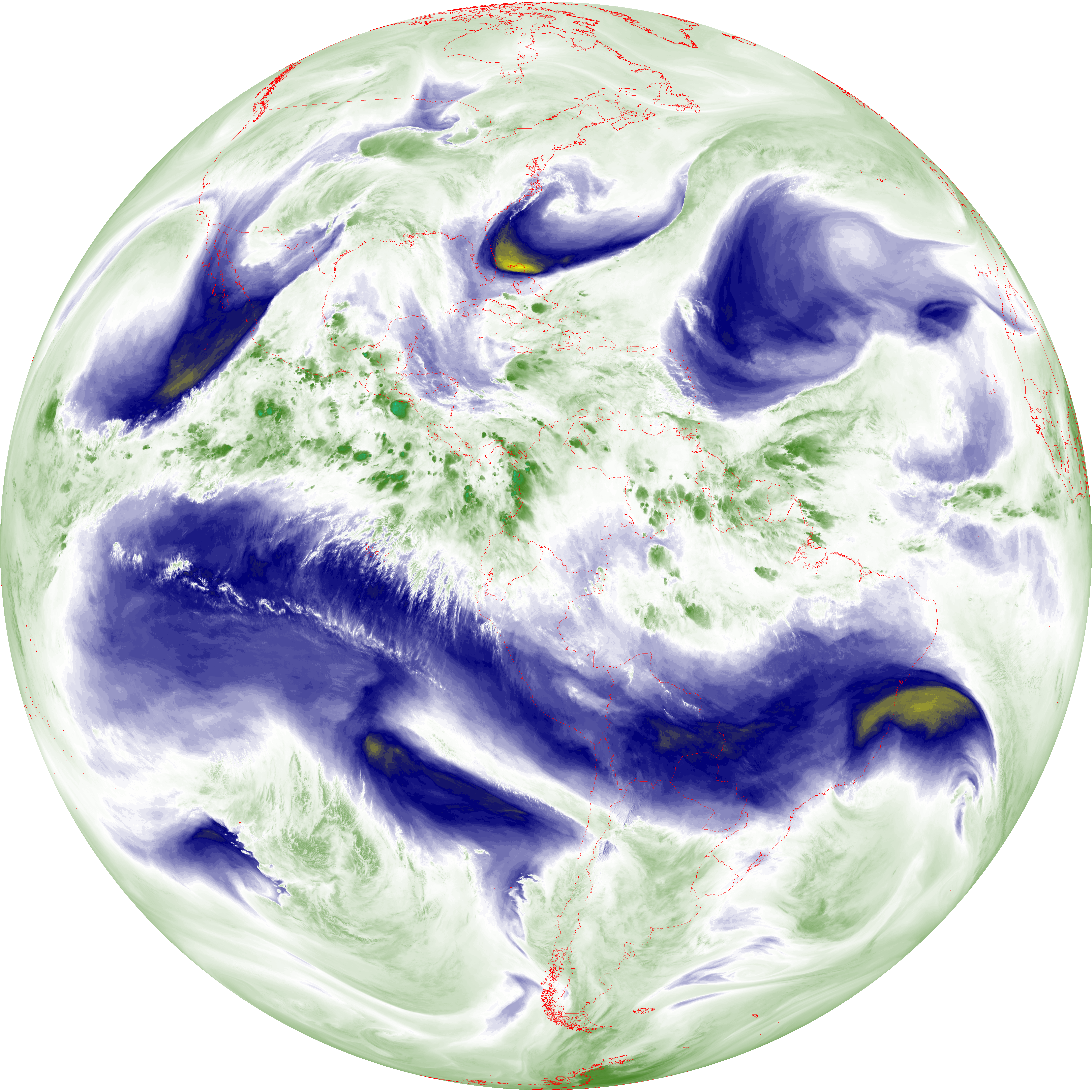
| abi_rgb_Infrared_Longwave_Window_Band_map.png | 14201071 | 2026-Jun-06 07:54 |
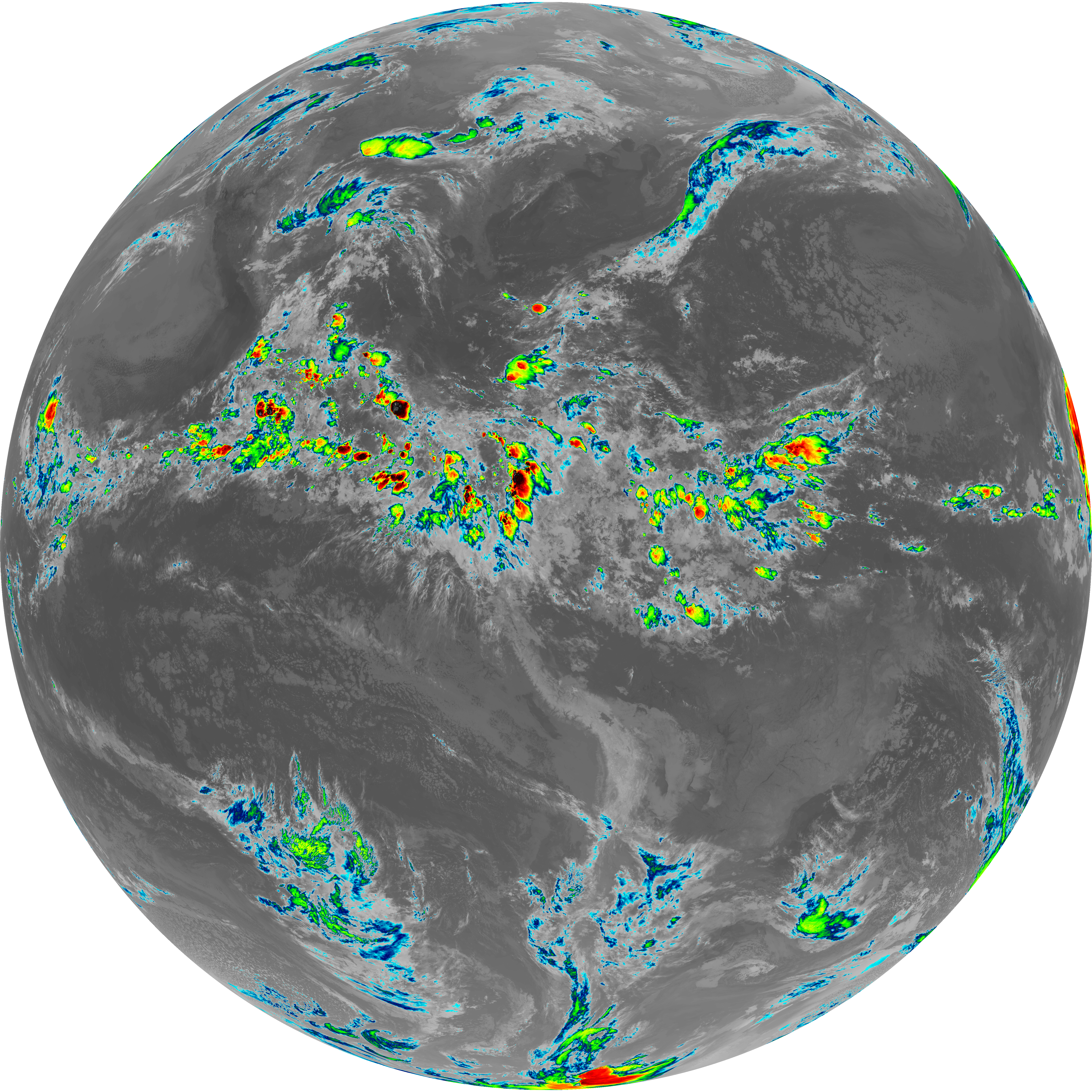
| abi_rgb_Infrared_Longwave_Window_Band.png | 14156922 | 2026-Jun-06 07:54 |
| abi_rgb_Clean_Longwave_IR_Window_Band_map.png | 14034381 | 2026-Jun-06 07:46 |
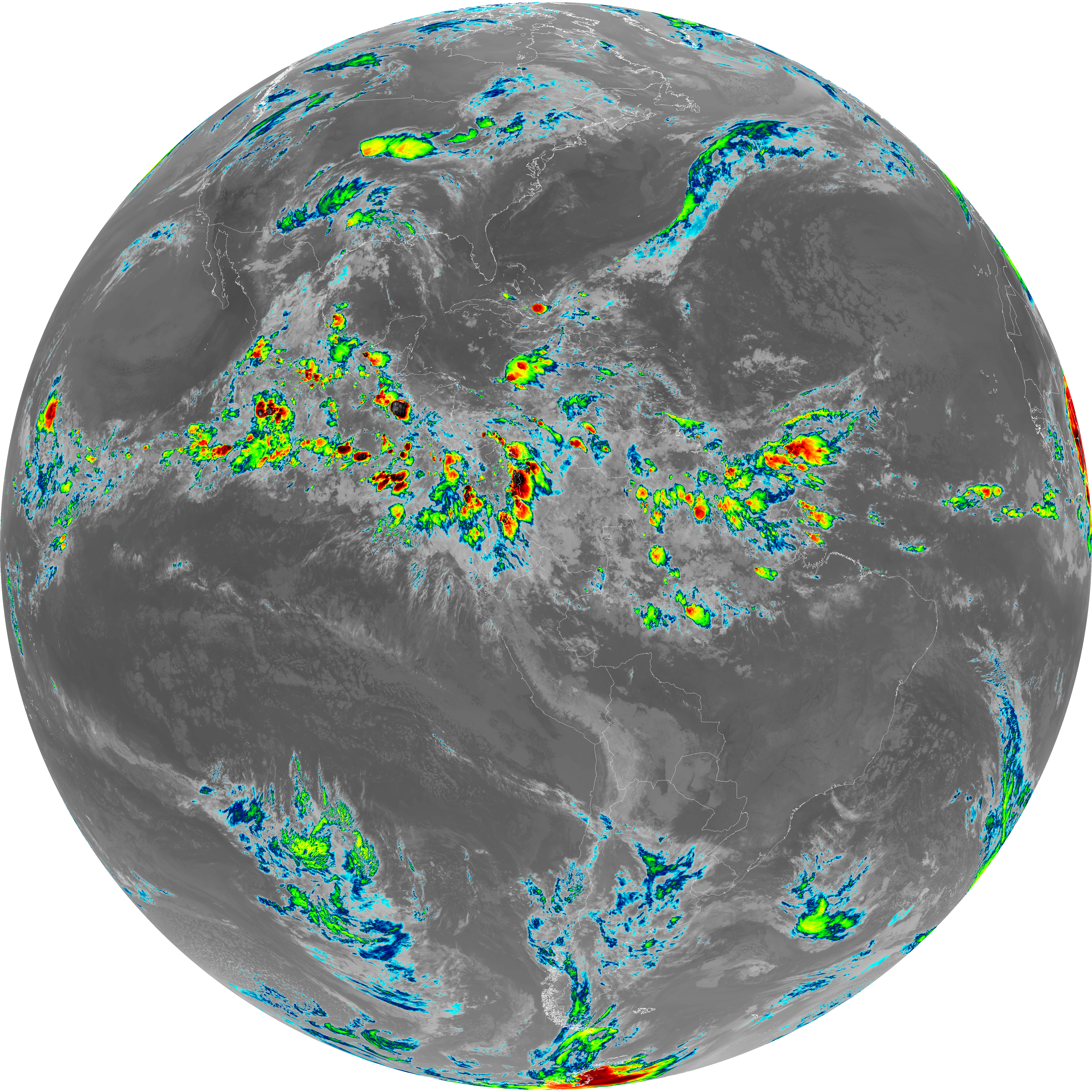
| abi_rgb_Clean_Longwave_IR_Window_Band.png | 13989695 | 2026-Jun-06 07:46 |
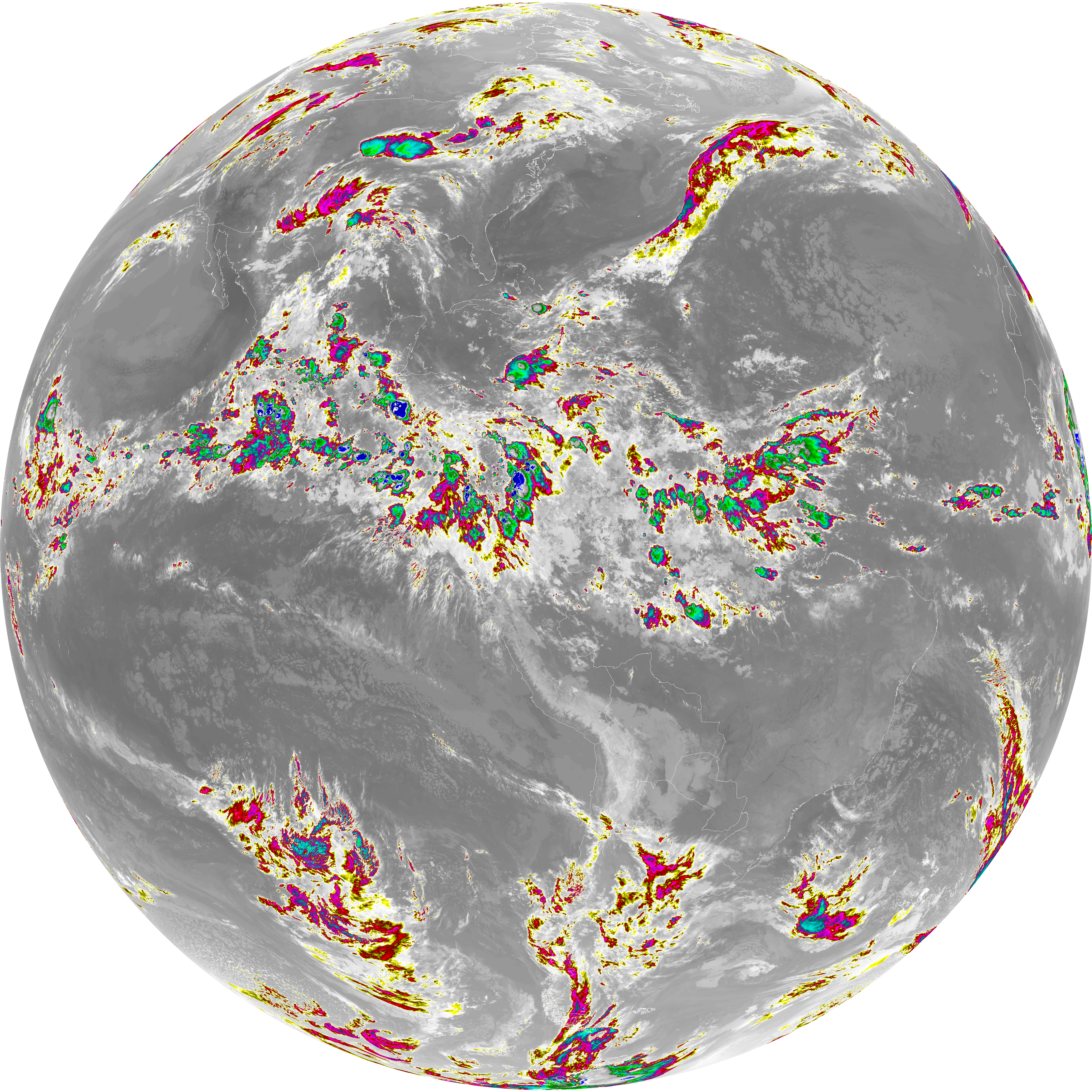
| abi_rgb_Dirty_Longwave_Window_map.png | 13885793 | 2026-Jun-06 07:57 |
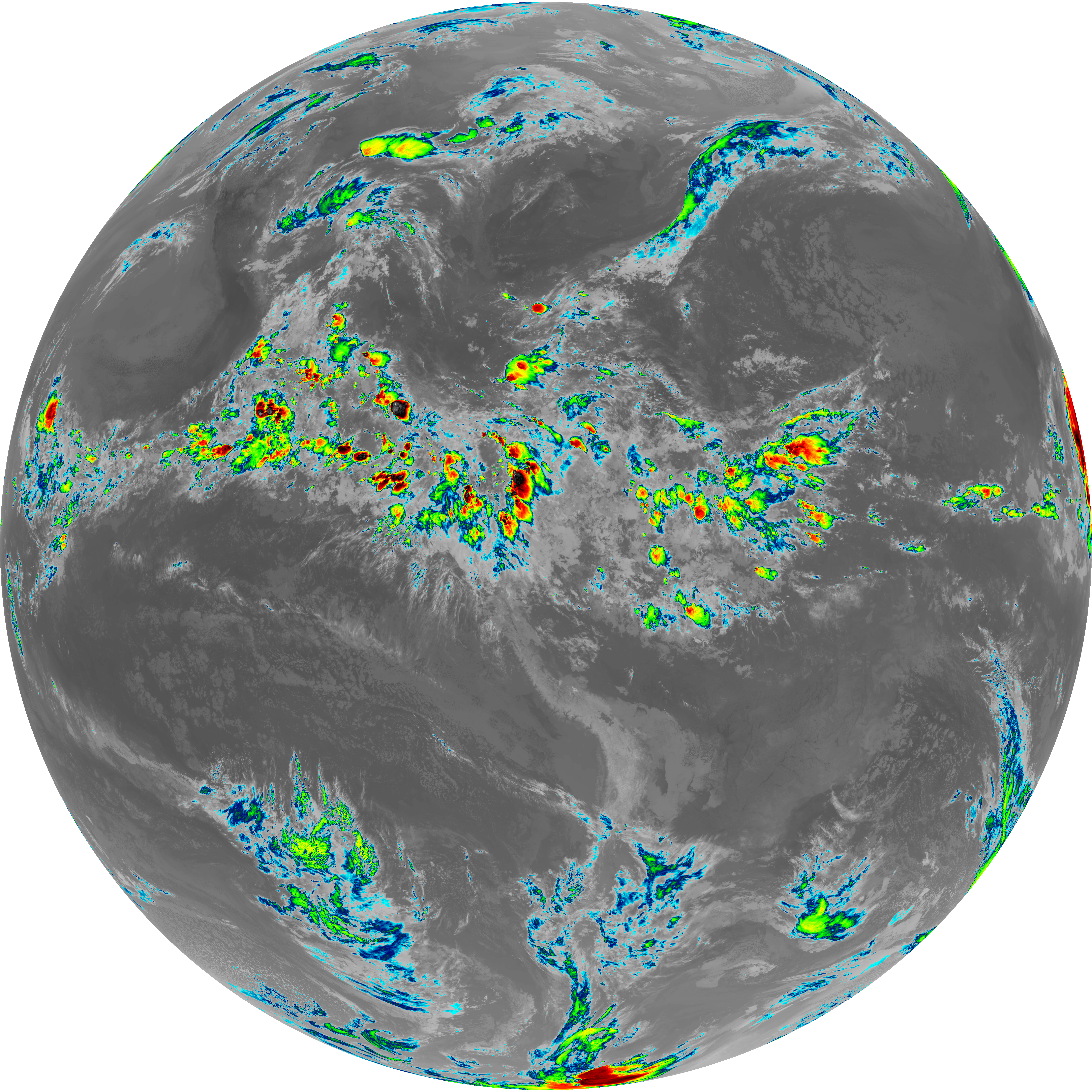
| abi_rgb_Dirty_Longwave_Window.png | 13839281 | 2026-Jun-06 07:57 |
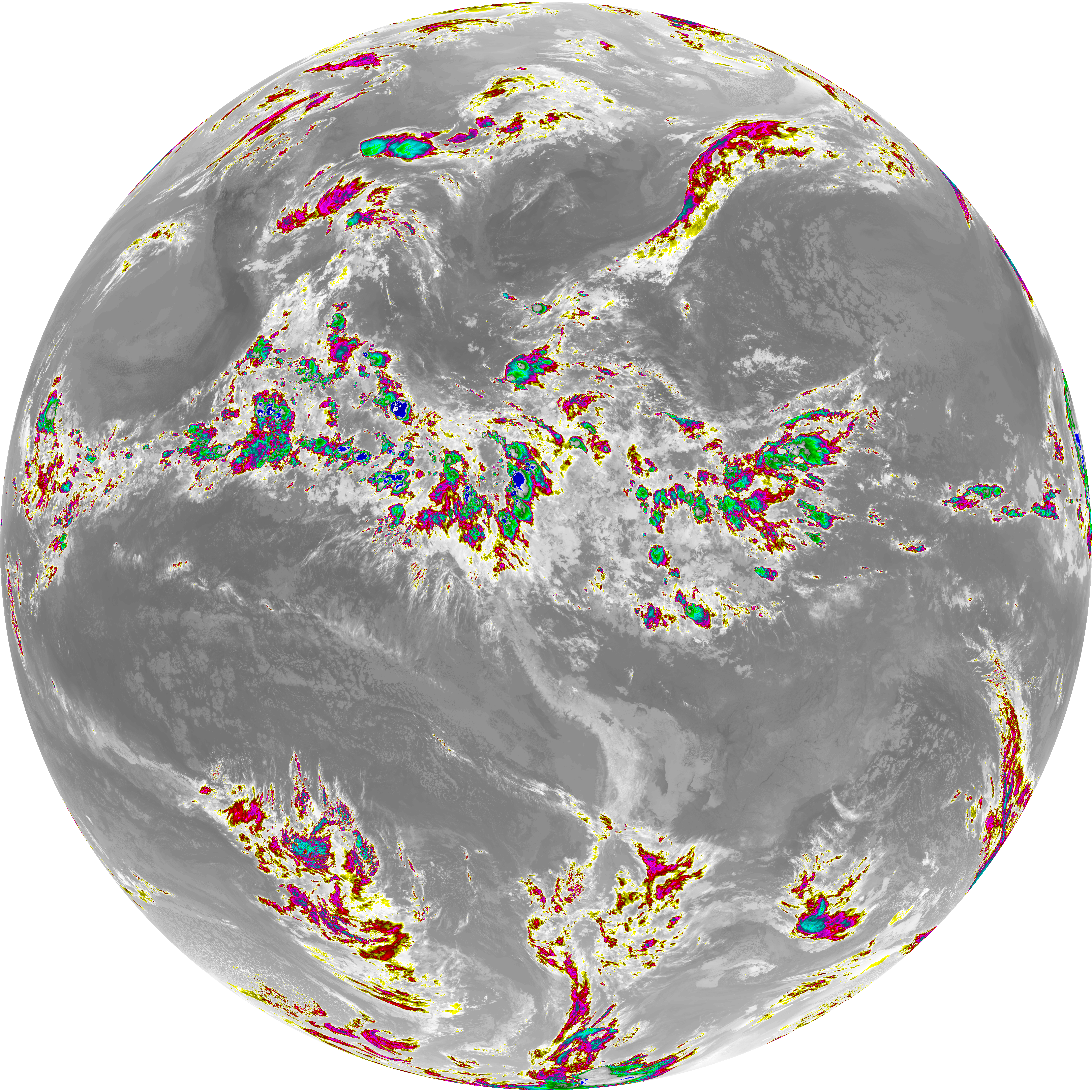
| abi_rgb_Dirty_Longwave_Window_-_CIRA_map.png | 12184037 | 2026-Jun-06 07:57 |
| abi_rgb_Dirty_Longwave_Window_-_CIRA.png | 12126153 | 2026-Jun-06 07:57 |
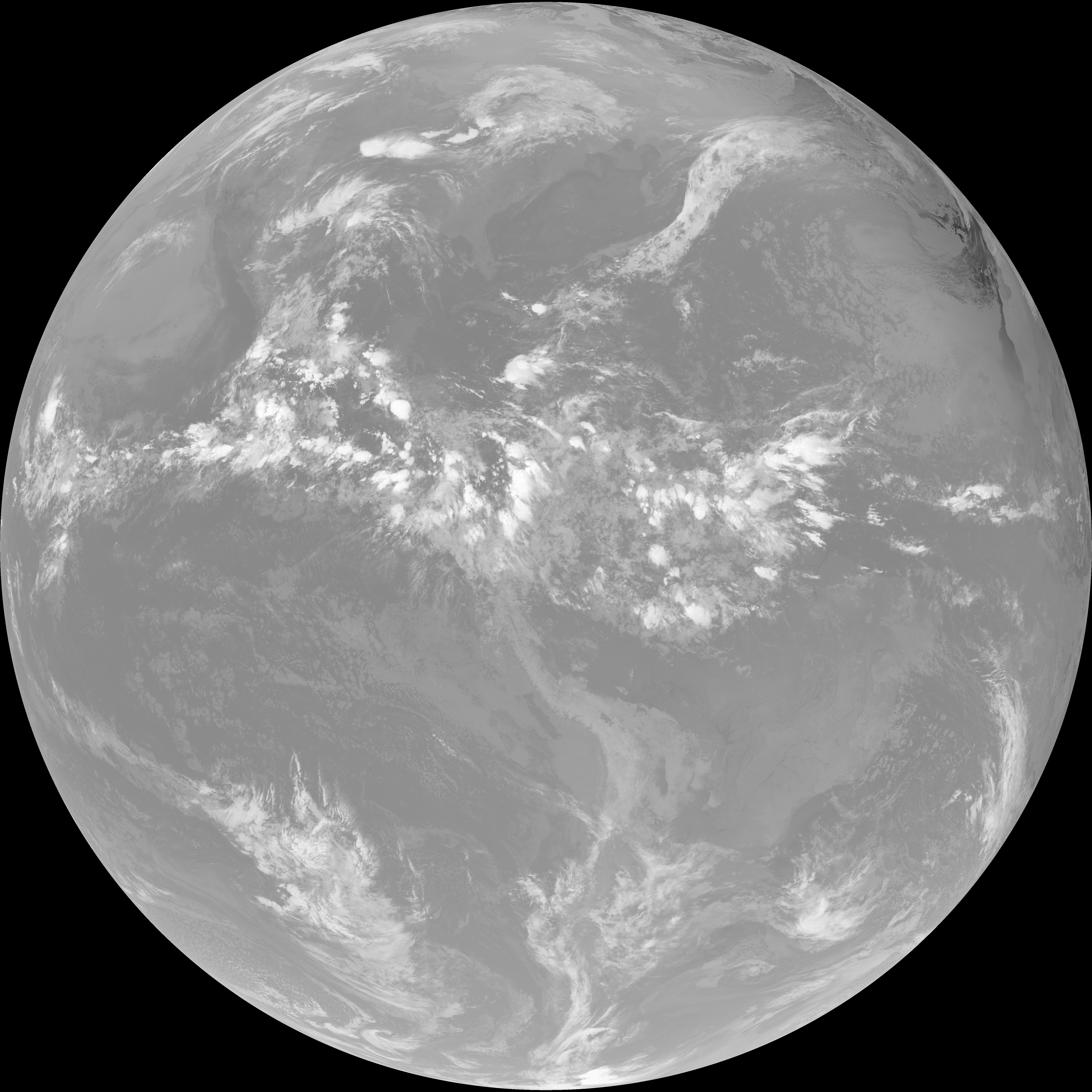
| G19_7_20260606T073021Z.png | 11532333 | 2026-Jun-06 07:43 |
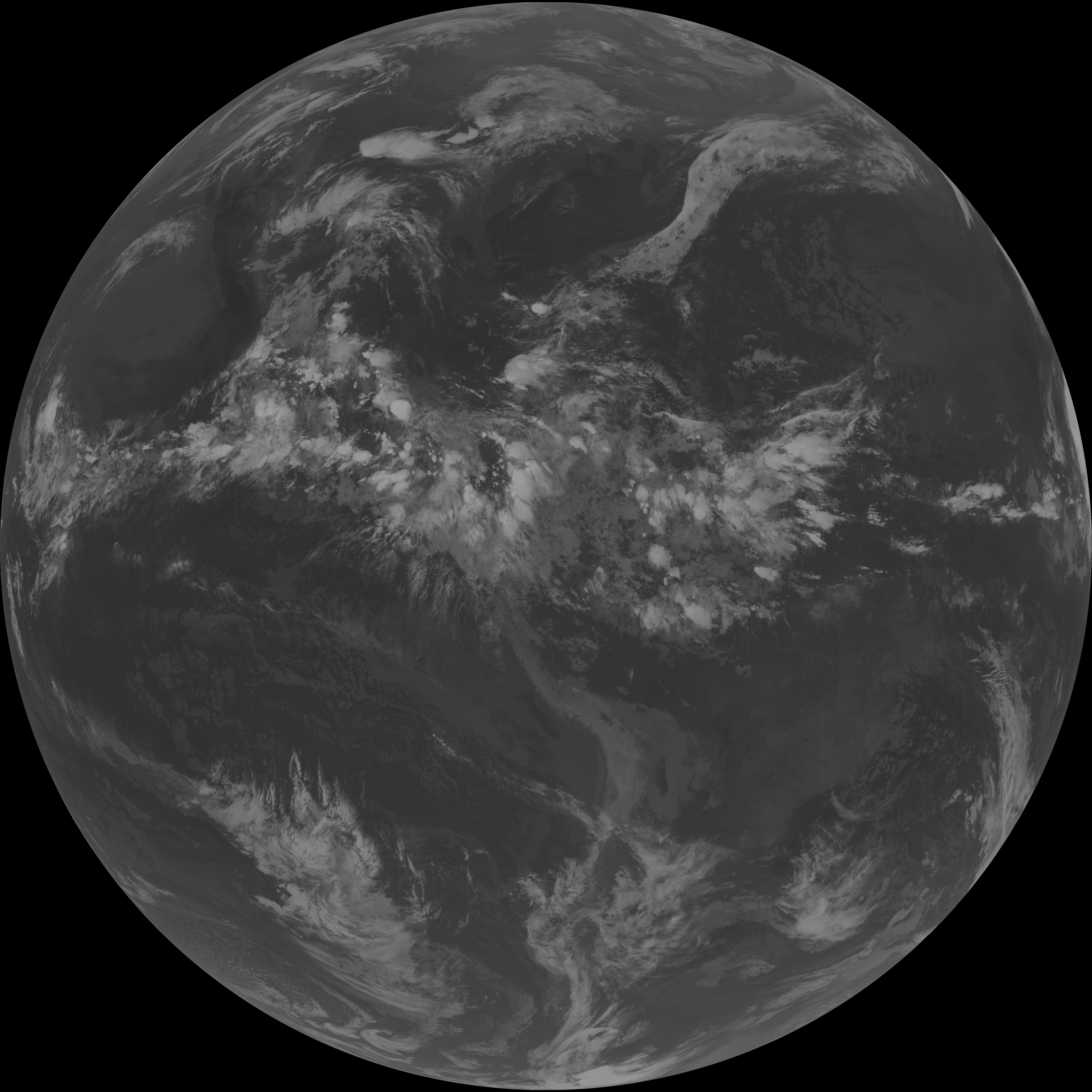
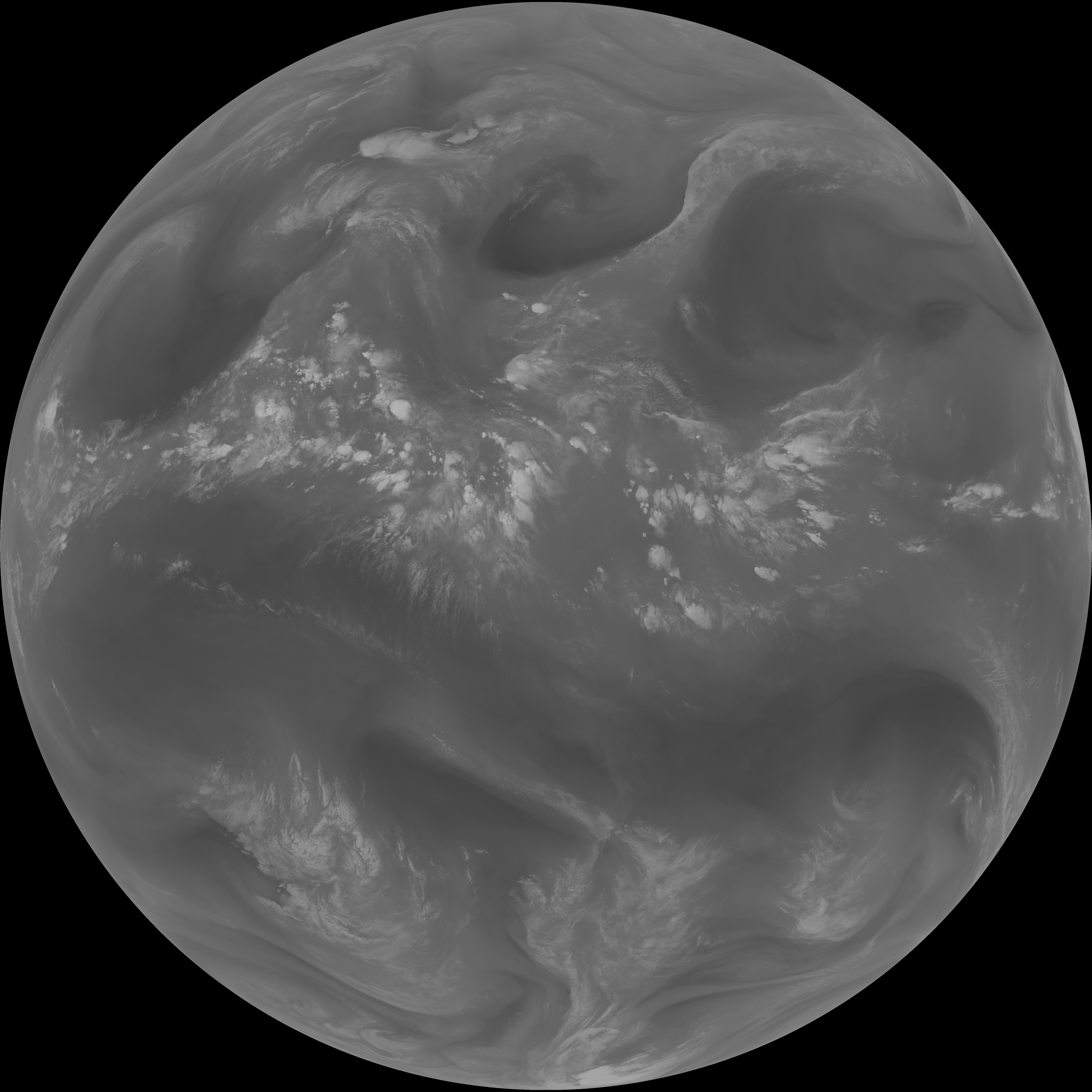
| G19_14_20260606T073021Z.png | 10585693 | 2026-Jun-06 07:54 |
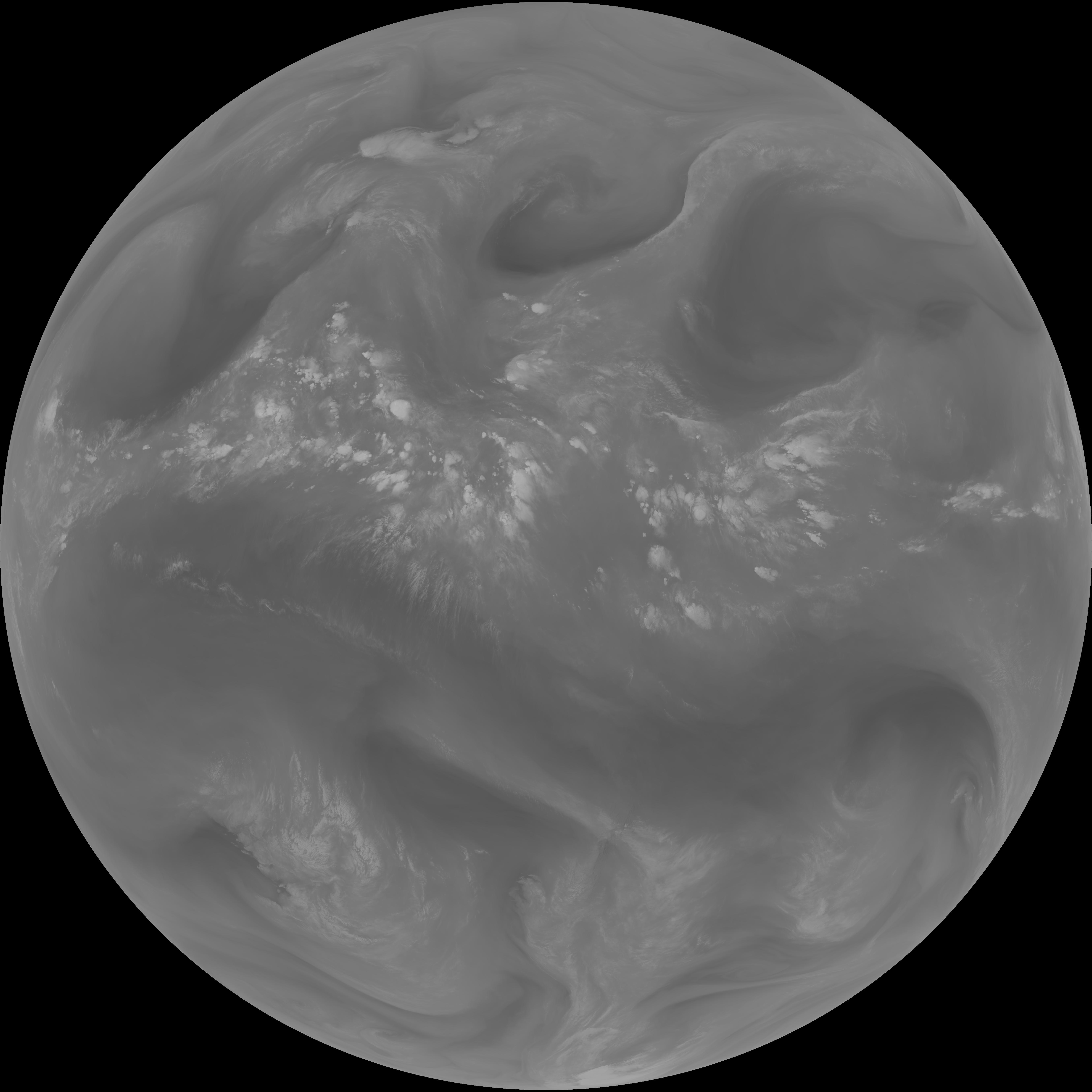
| G19_13_20260606T073021Z.png | 10433378 | 2026-Jun-06 07:46 |
| G19_15_20260606T073021Z.png | 10319673 | 2026-Jun-06 07:56 |
| abi_rgb_Mid-level_Tropospheric_Water_Vapor_map.png | 8756949 | 2026-Jun-06 07:51 |
| abi_rgb_Mid-level_Tropospheric_Water_Vapor.png | 8654971 | 2026-Jun-06 07:51 |
| abi_rgb_Upper-Level_Tropospheric_Water_Vapor_map.png | 7550887 | 2026-Jun-06 07:49 |
| abi_rgb_Upper-Level_Tropospheric_Water_Vapor.png | 7438281 | 2026-Jun-06 07:49 |
| G19_9_20260606T073021Z.png | 6454893 | 2026-Jun-06 07:50 |
| G19_8_20260606T073021Z.png | 5568211 | 2026-Jun-06 07:48 |
| G19_2_20260606T073021Z.png | 1870670 | 2026-Jun-06 07:47 |