| Parent directory/ | - | - |
| G19_7_20260606T080021Z.png | 11497863 | 2026-Jun-06 08:13 |
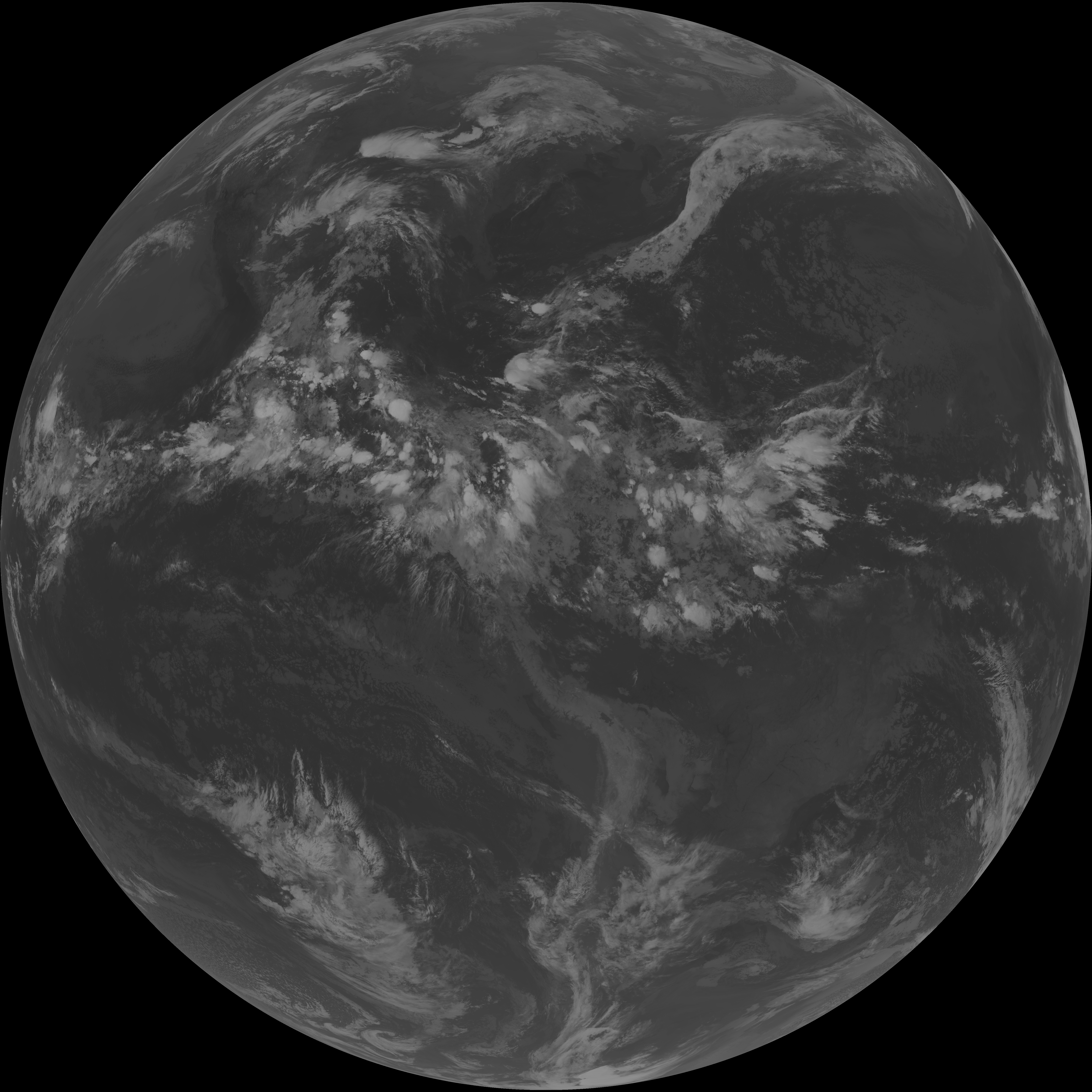
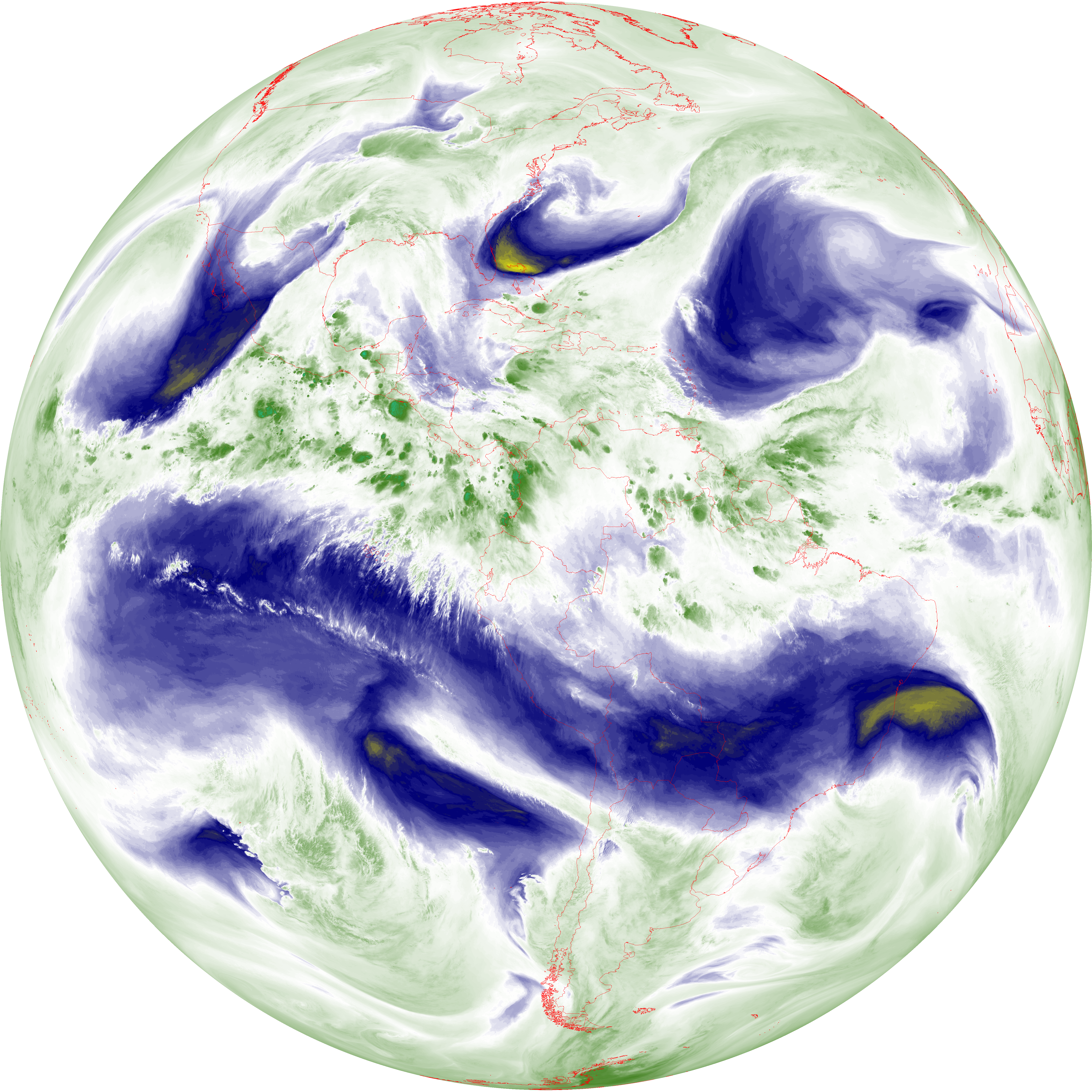
| abi_rgb_Shortwave_Window_Band.png | 15570055 | 2026-Jun-06 08:13 |
| abi_rgb_Shortwave_Window_Band_map.png | 15621351 | 2026-Jun-06 08:13 |
| G19_13_20260606T080021Z.png | 10427771 | 2026-Jun-06 08:16 |
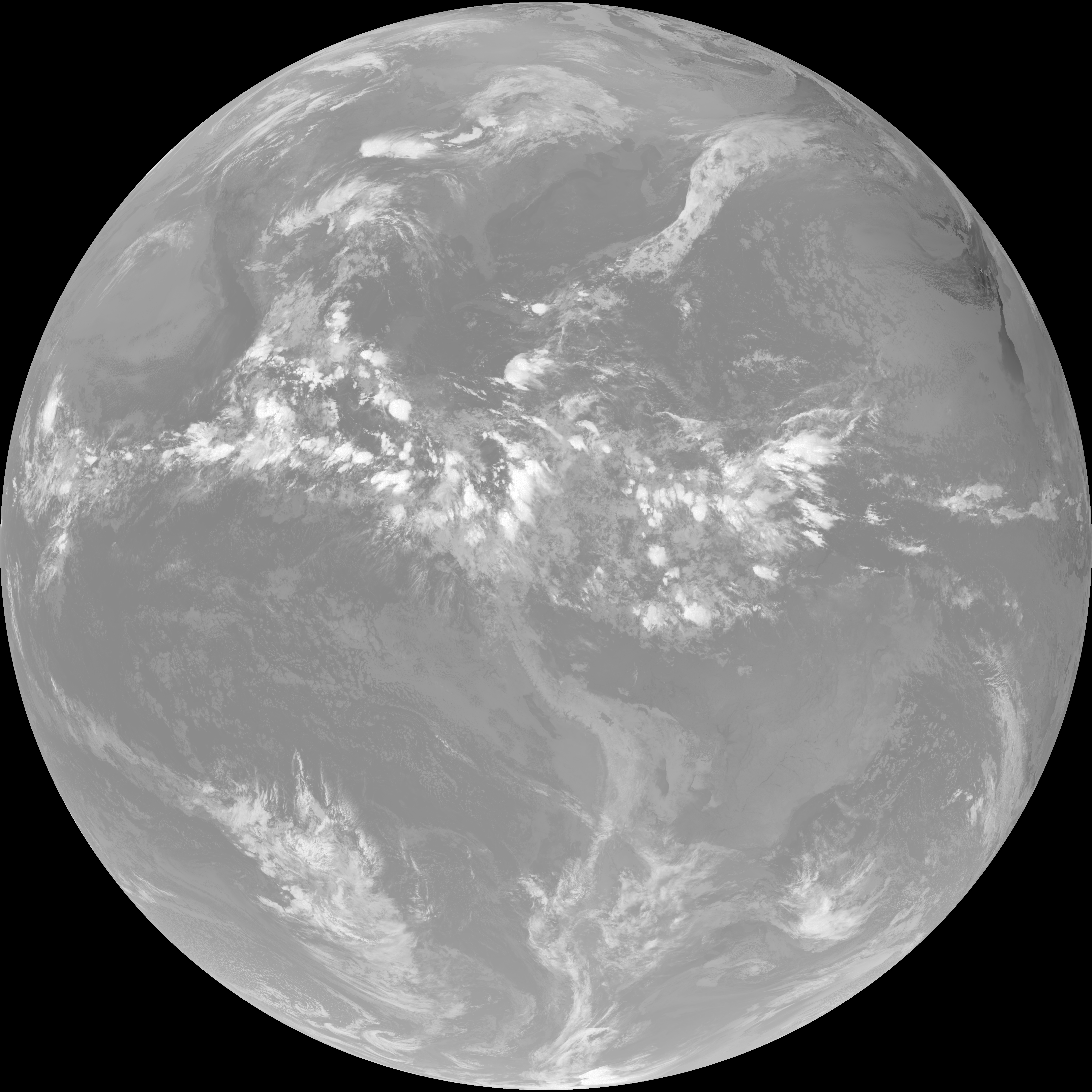
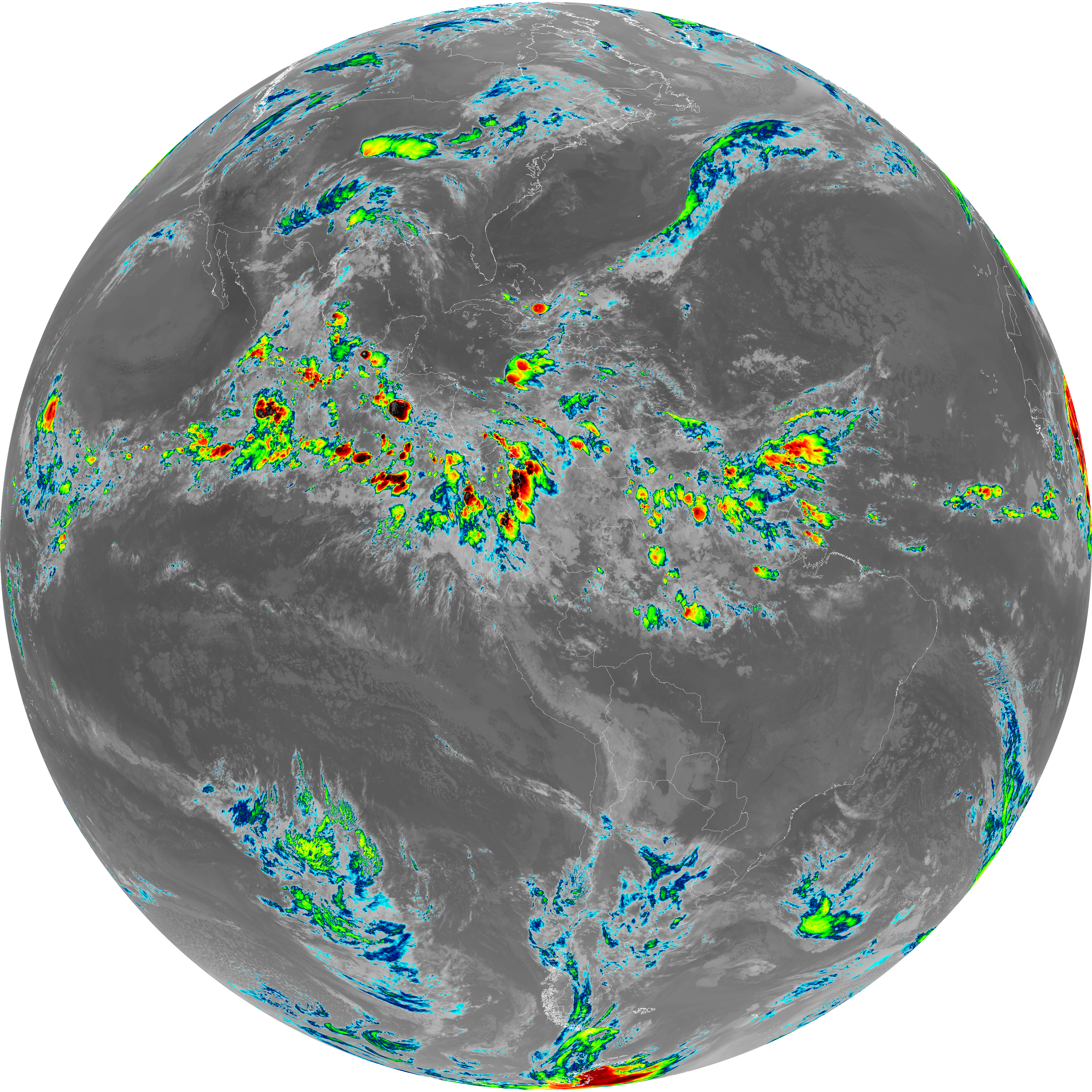
| abi_rgb_Clean_Longwave_IR_Window_Band.png | 13985309 | 2026-Jun-06 08:16 |
| abi_rgb_Clean_Longwave_IR_Window_Band_map.png | 14029714 | 2026-Jun-06 08:16 |
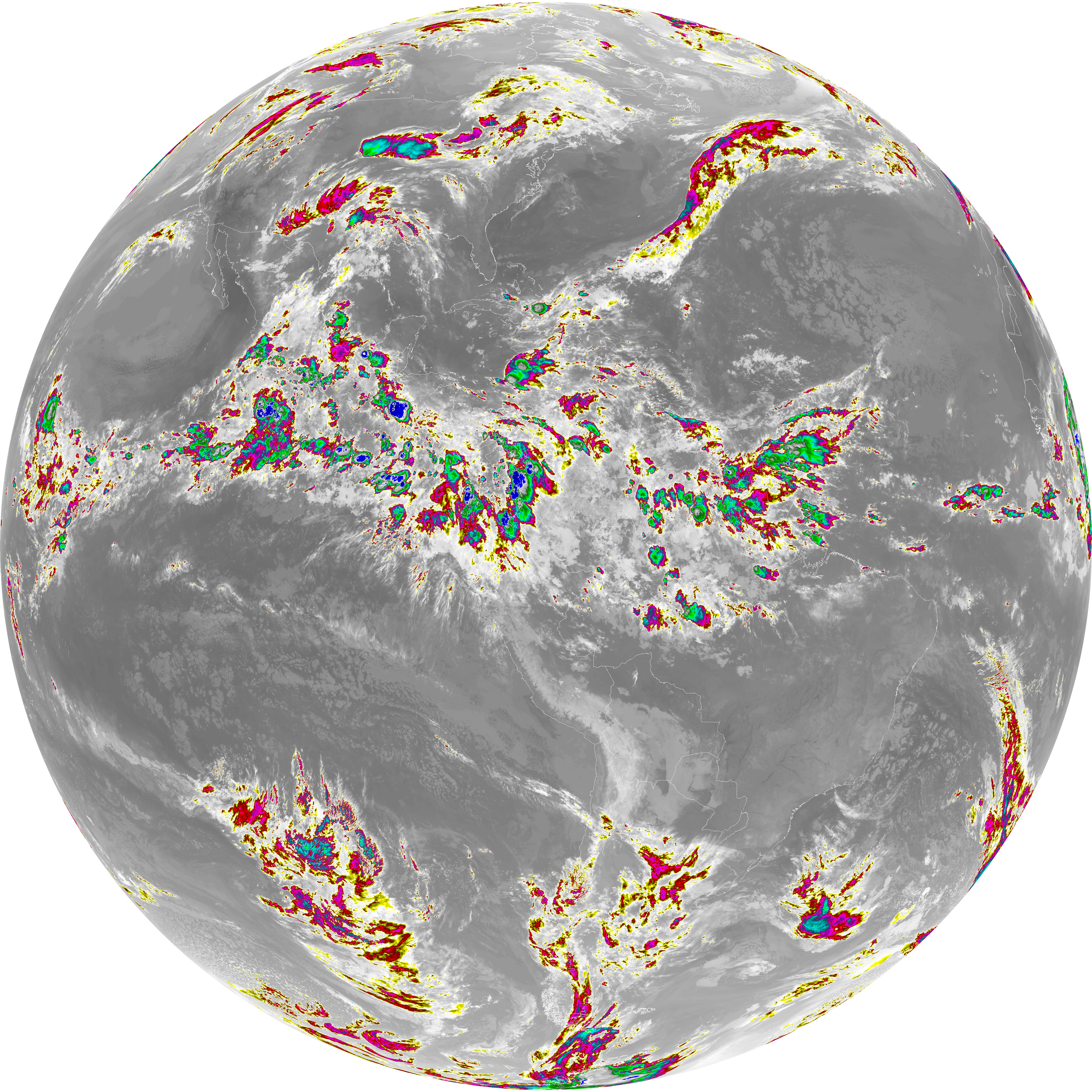
| G19_2_20260606T080021Z.png | 2513473 | 2026-Jun-06 08:17 |
| G19_8_20260606T080021Z.png | 5569487 | 2026-Jun-06 08:19 |
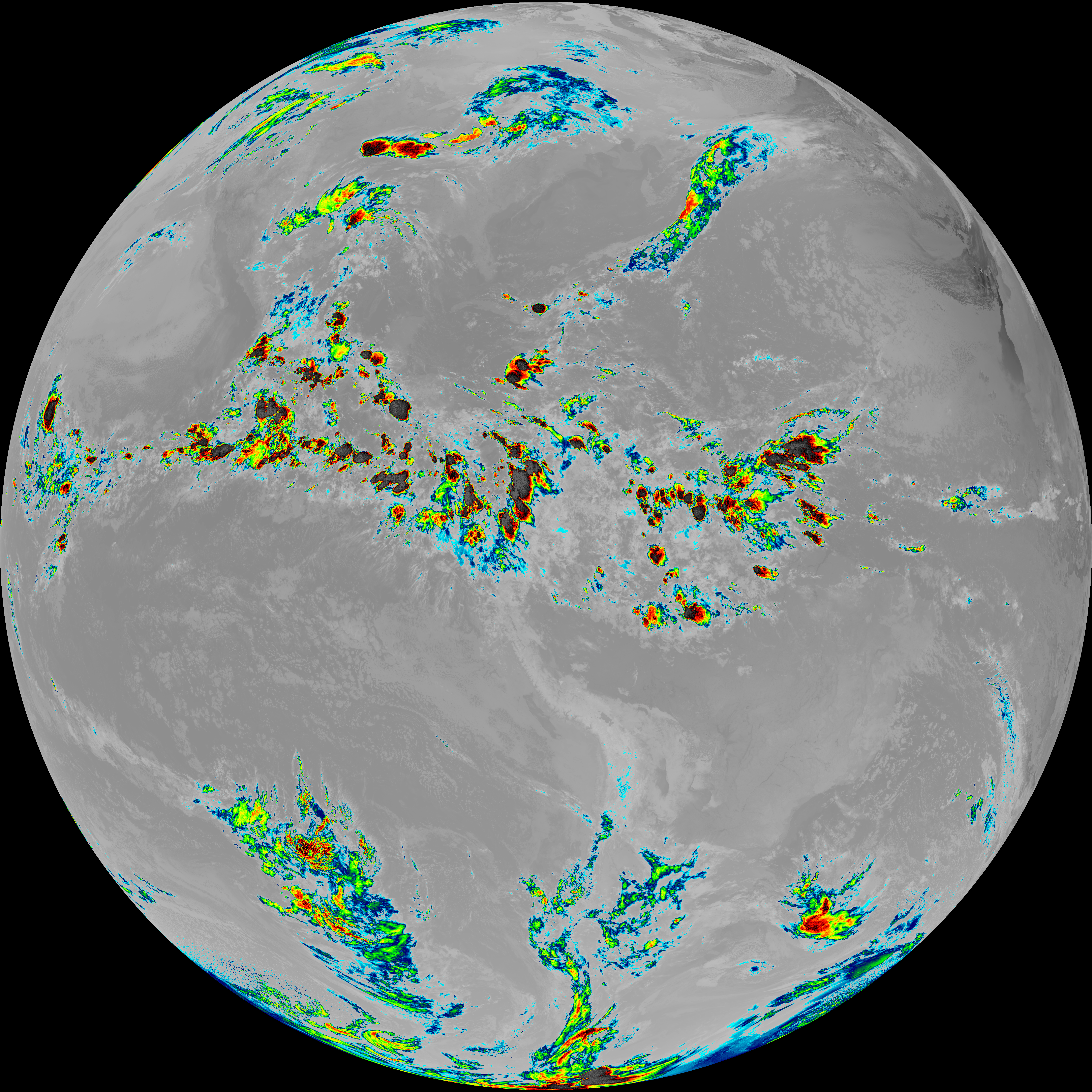
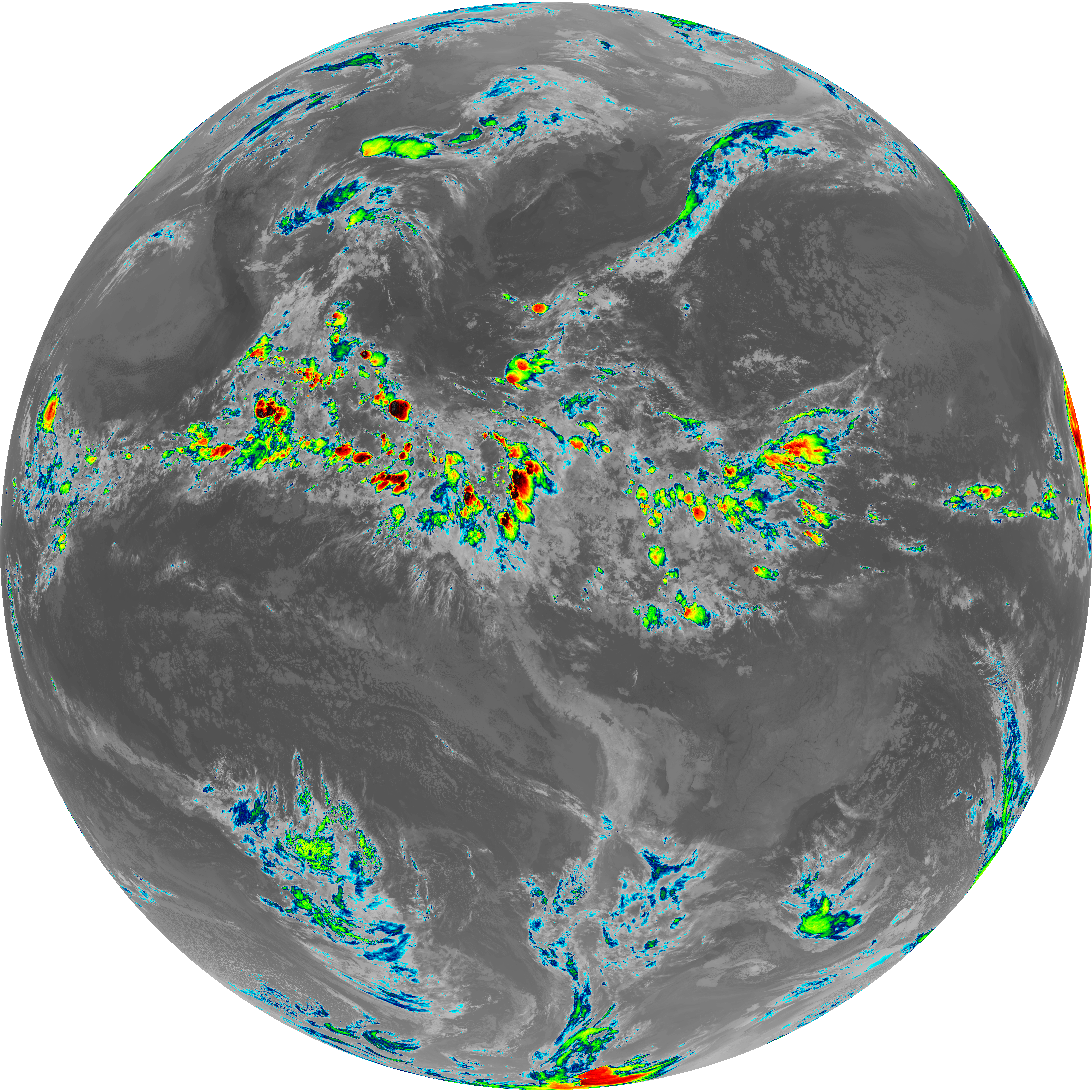
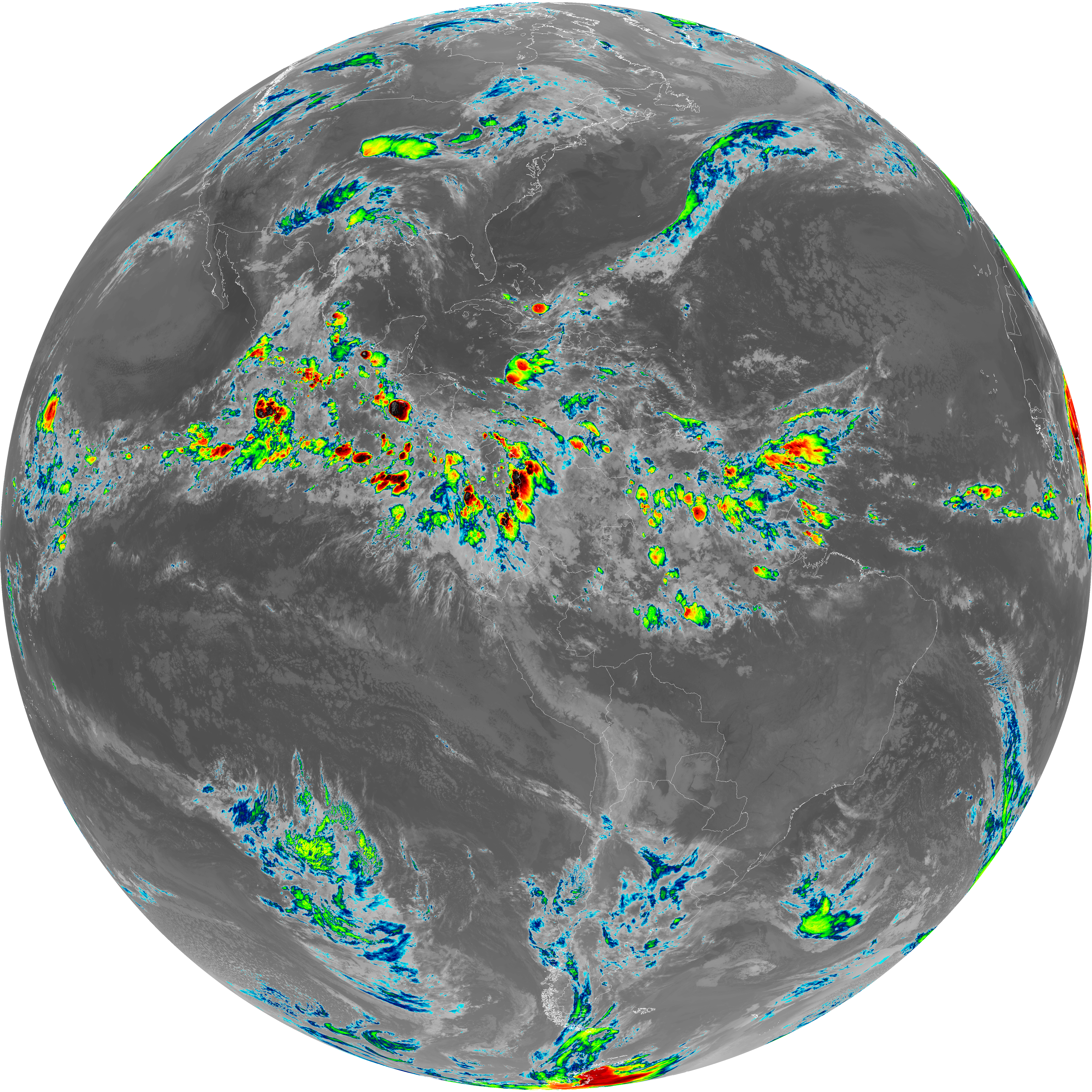
| abi_rgb_Upper-Level_Tropospheric_Water_Vapor.png | 7438706 | 2026-Jun-06 08:19 |
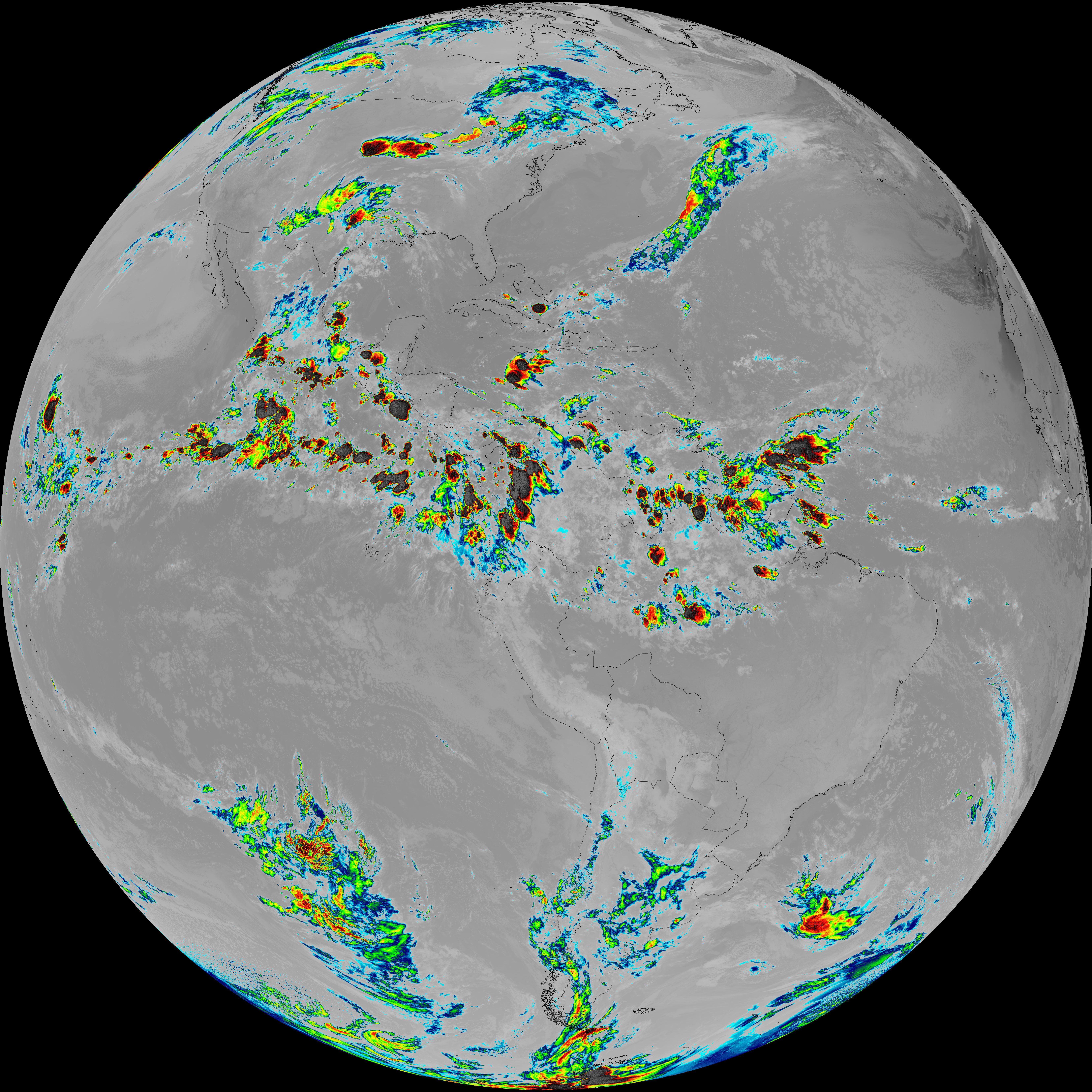
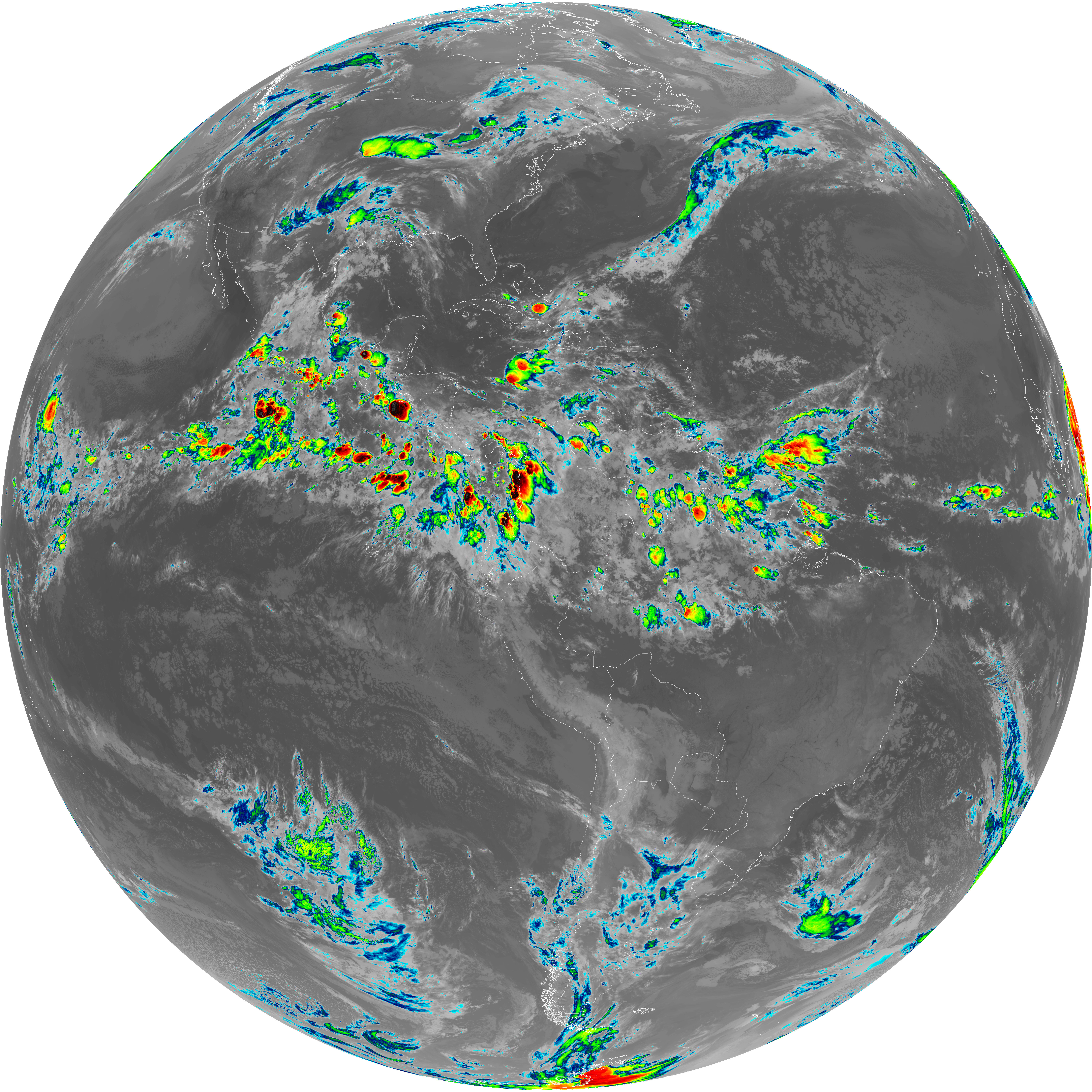
| abi_rgb_Upper-Level_Tropospheric_Water_Vapor_map.png | 7551375 | 2026-Jun-06 08:19 |
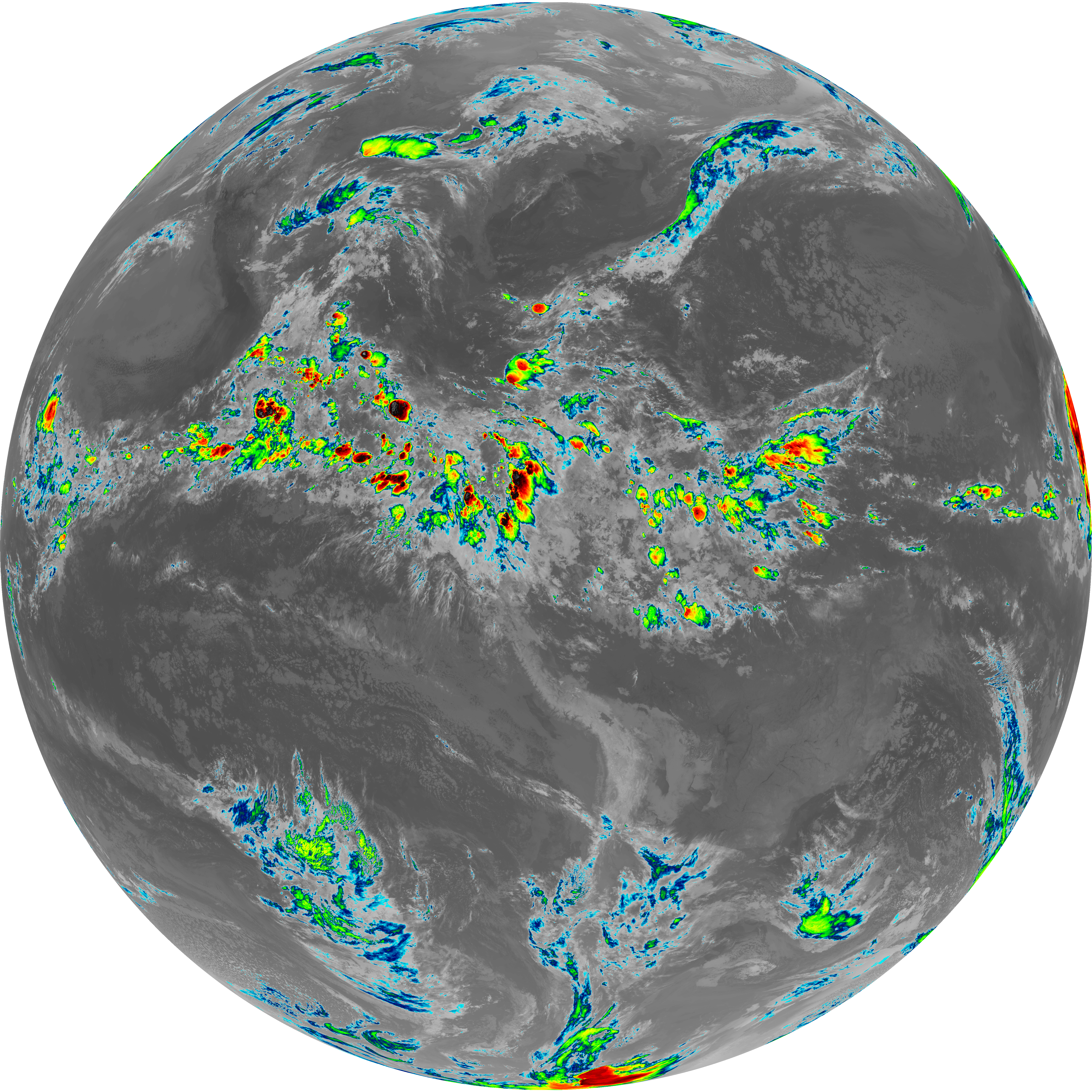
| G19_9_20260606T080021Z.png | 6449519 | 2026-Jun-06 08:21 |
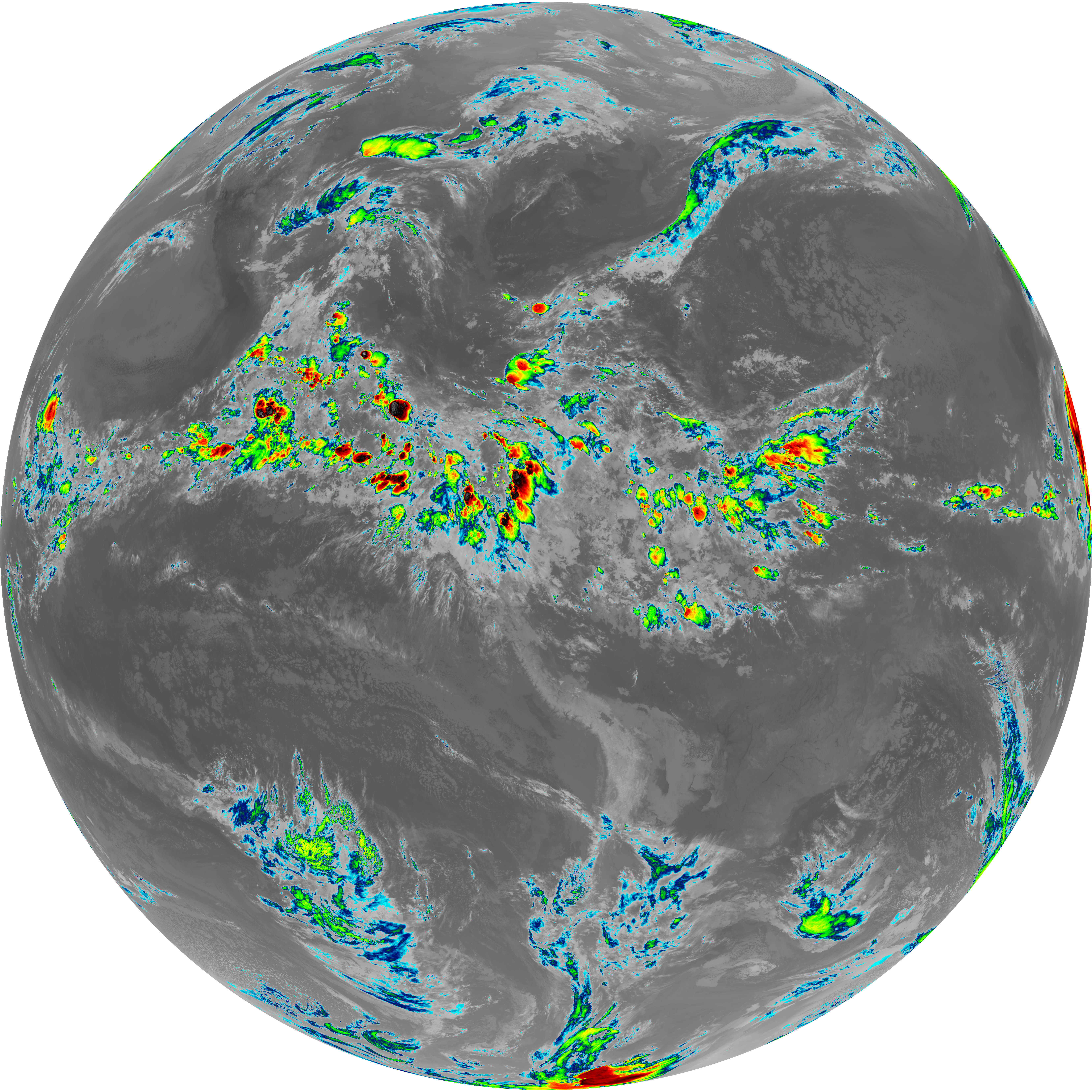
| abi_rgb_Mid-level_Tropospheric_Water_Vapor.png | 8648367 | 2026-Jun-06 08:21 |
| abi_rgb_Mid-level_Tropospheric_Water_Vapor_map.png | 8750154 | 2026-Jun-06 08:21 |
| G19_14_20260606T080021Z.png | 10581939 | 2026-Jun-06 08:24 |
| abi_rgb_Infrared_Longwave_Window_Band.png | 14155974 | 2026-Jun-06 08:24 |
| abi_rgb_Infrared_Longwave_Window_Band_map.png | 14200230 | 2026-Jun-06 08:24 |
| G19_15_20260606T080021Z.png | 10318824 | 2026-Jun-06 08:27 |
| abi_rgb_Dirty_Longwave_Window.png | 13843260 | 2026-Jun-06 08:27 |
| abi_rgb_Dirty_Longwave_Window_map.png | 13890162 | 2026-Jun-06 08:27 |
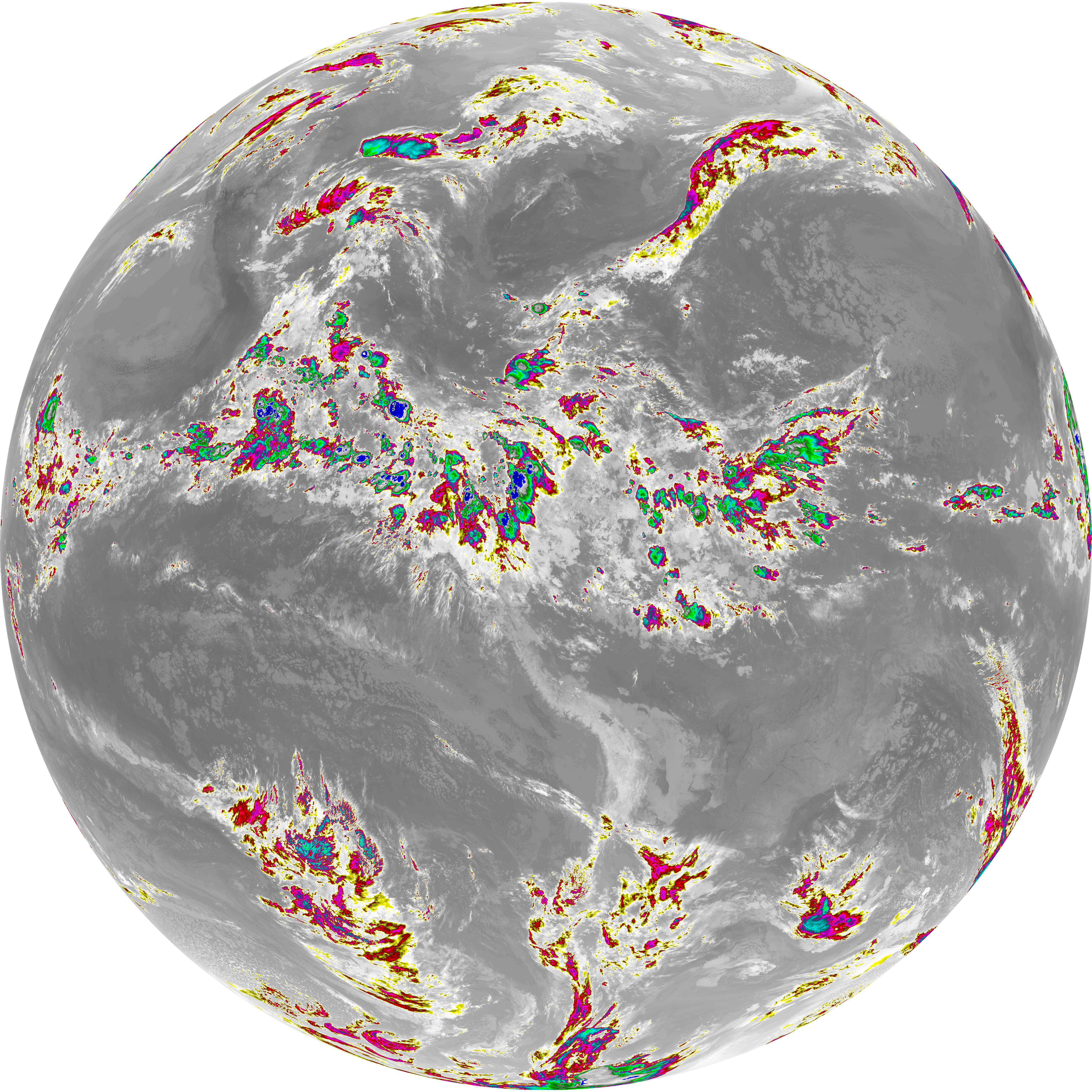
| abi_rgb_Dirty_Longwave_Window_-_CIRA.png | 12125348 | 2026-Jun-06 08:28 |
| abi_rgb_Dirty_Longwave_Window_-_CIRA_map.png | 12183745 | 2026-Jun-06 08:28 |