| Parent directory/ | - | - |
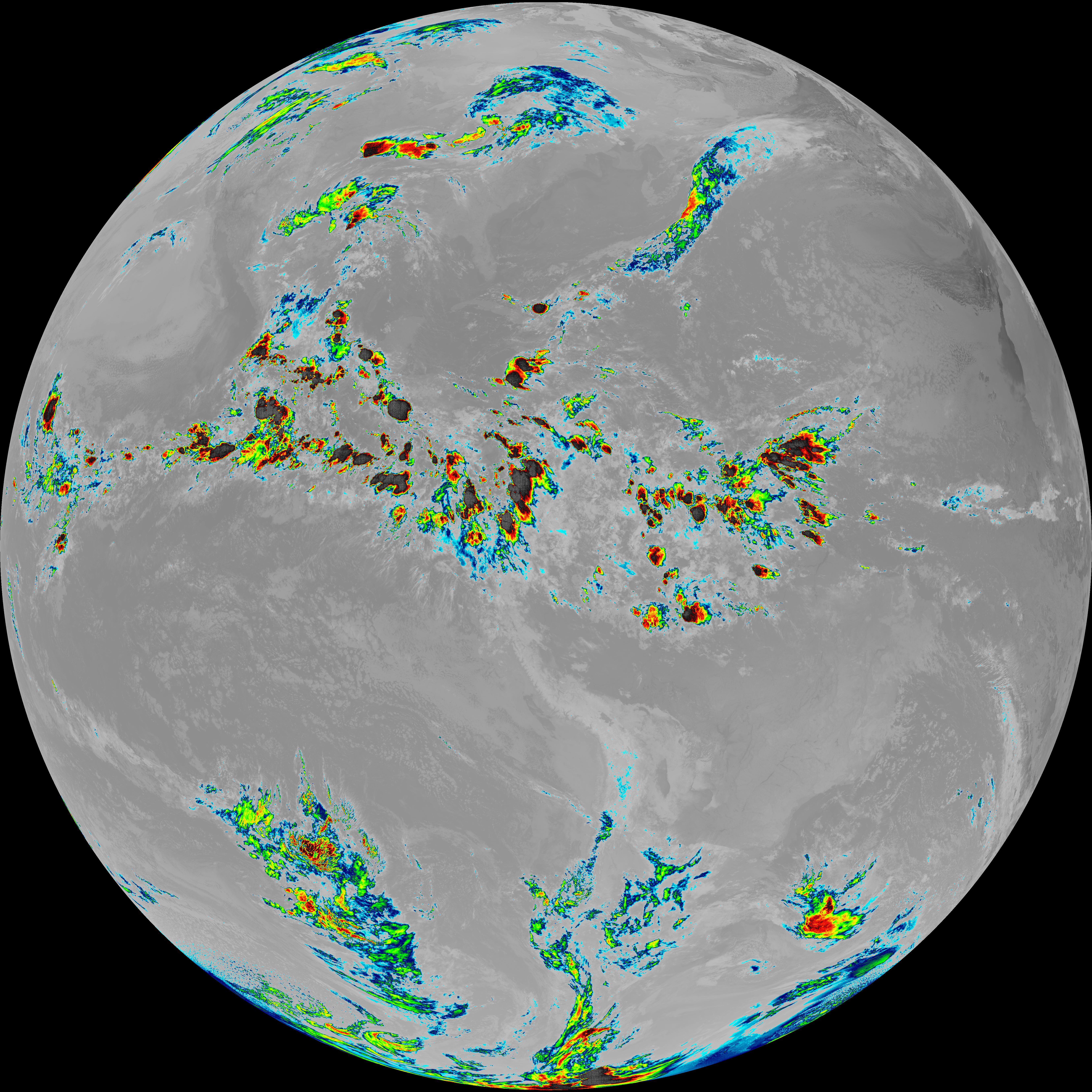
| G19_13_20260606T083021Z.png | 10425474 | 2026-Jun-06 08:46 |
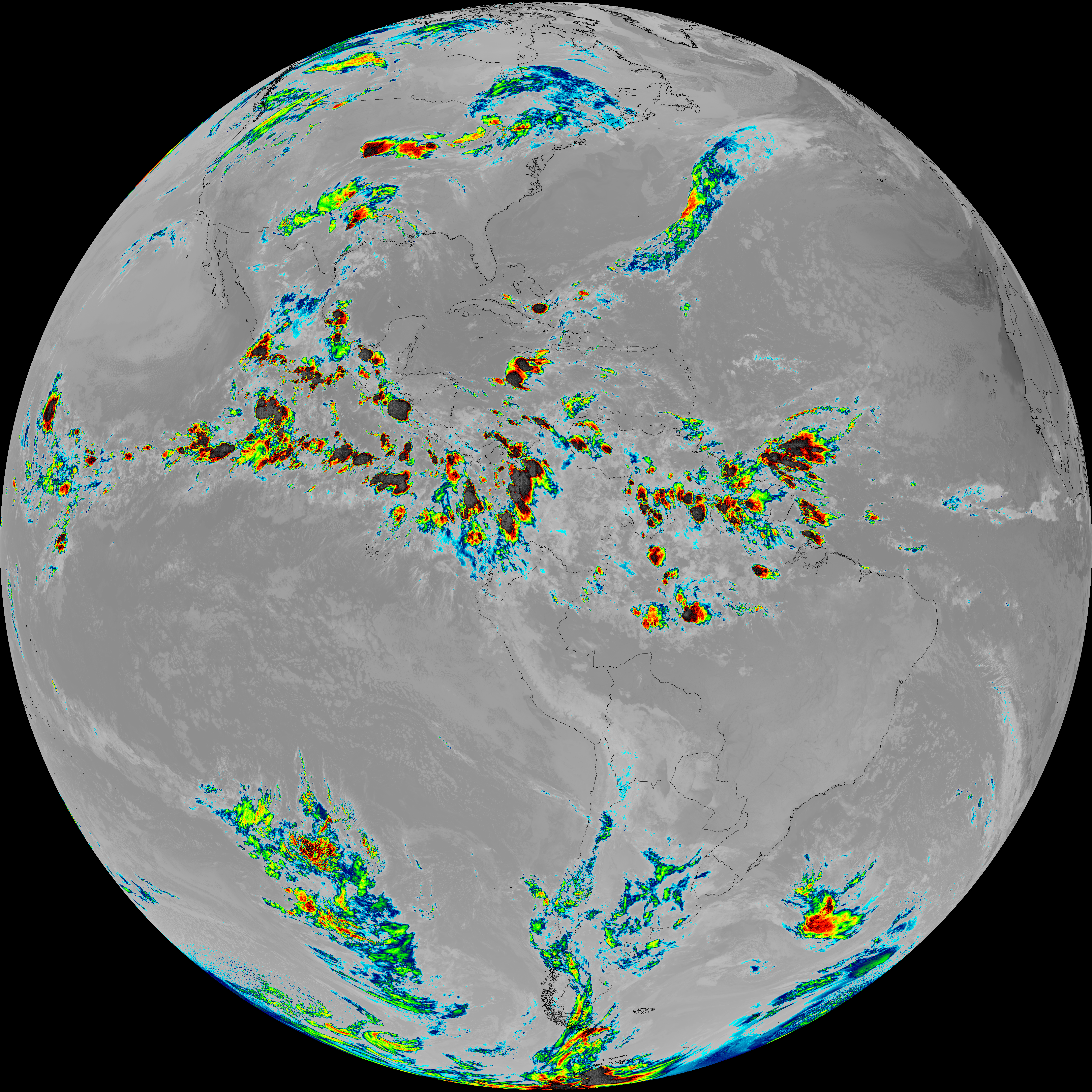
| G19_14_20260606T083021Z.png | 10582692 | 2026-Jun-06 08:54 |
| G19_15_20260606T083021Z.png | 10316934 | 2026-Jun-06 08:57 |
| G19_2_20260606T083021Z.png | 3224931 | 2026-Jun-06 08:47 |
| G19_7_20260606T083021Z.png | 11429744 | 2026-Jun-06 08:43 |
| G19_8_20260606T083021Z.png | 5572437 | 2026-Jun-06 08:49 |
| G19_9_20260606T083021Z.png | 6450841 | 2026-Jun-06 08:51 |
| abi_rgb_Clean_Longwave_IR_Window_Band.png | 13986103 | 2026-Jun-06 08:46 |
| abi_rgb_Clean_Longwave_IR_Window_Band_map.png | 14030170 | 2026-Jun-06 08:46 |
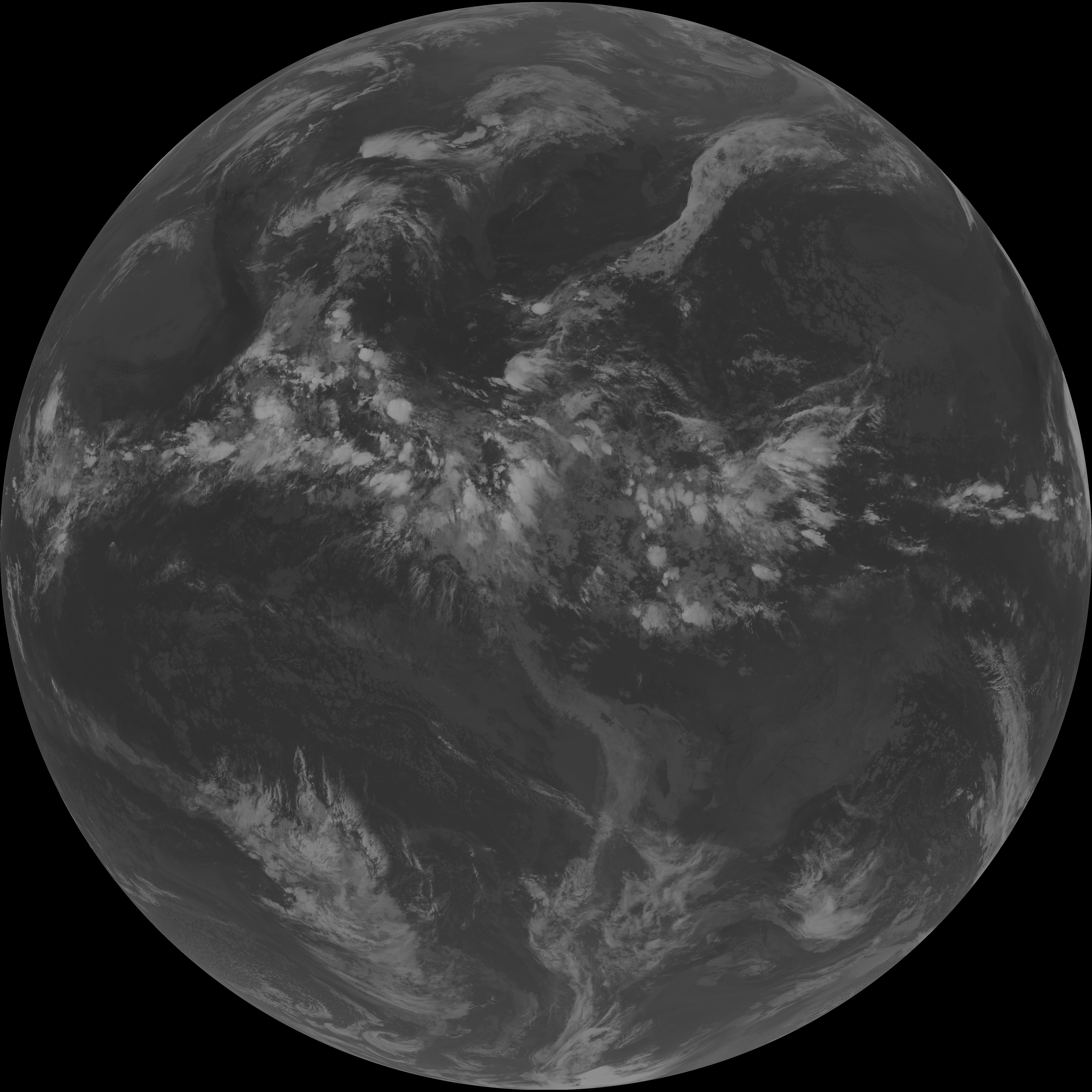
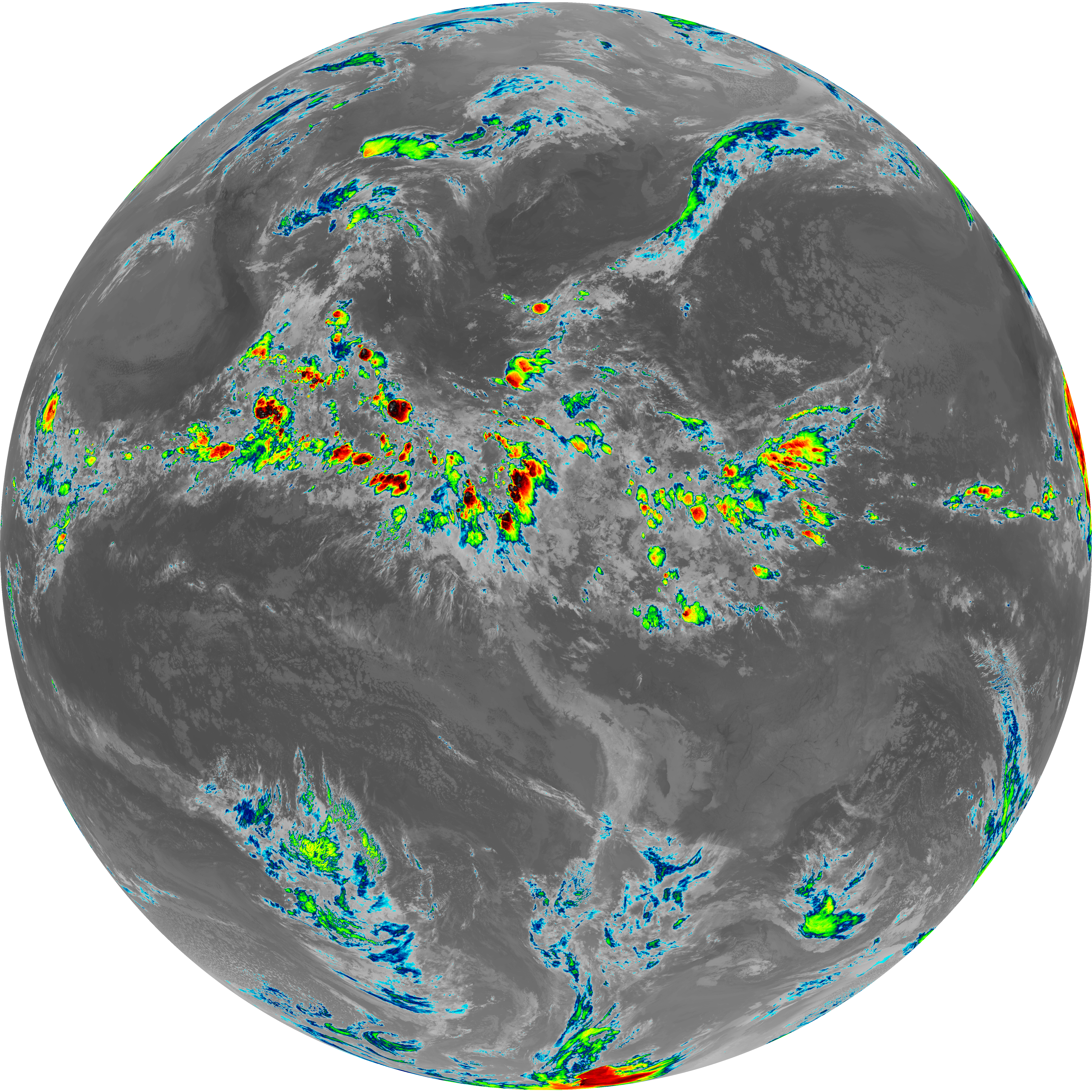
| abi_rgb_Dirty_Longwave_Window.png | 13843223 | 2026-Jun-06 08:57 |
| abi_rgb_Dirty_Longwave_Window_-_CIRA.png | 12118353 | 2026-Jun-06 08:58 |
| abi_rgb_Dirty_Longwave_Window_-_CIRA_map.png | 12177324 | 2026-Jun-06 08:58 |
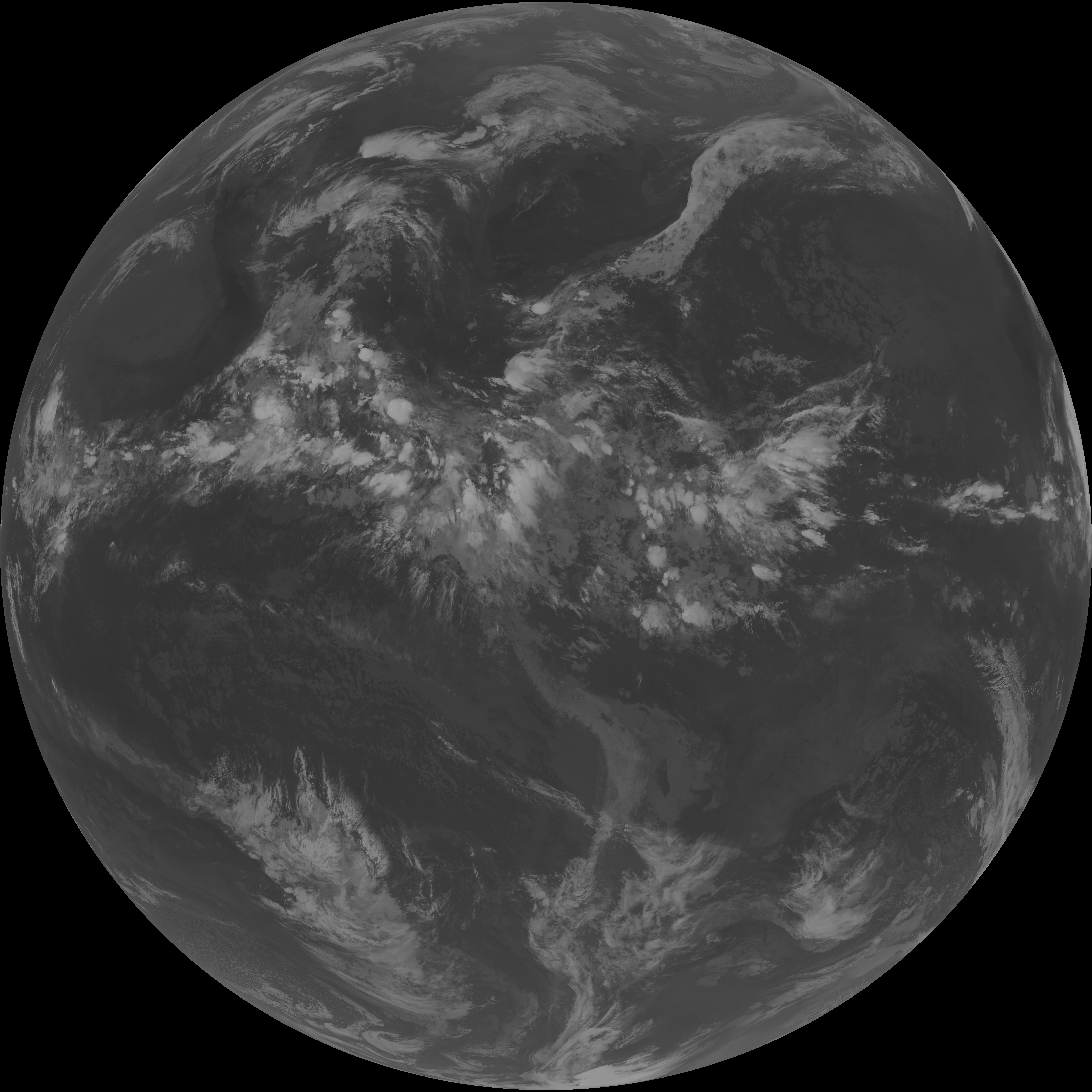
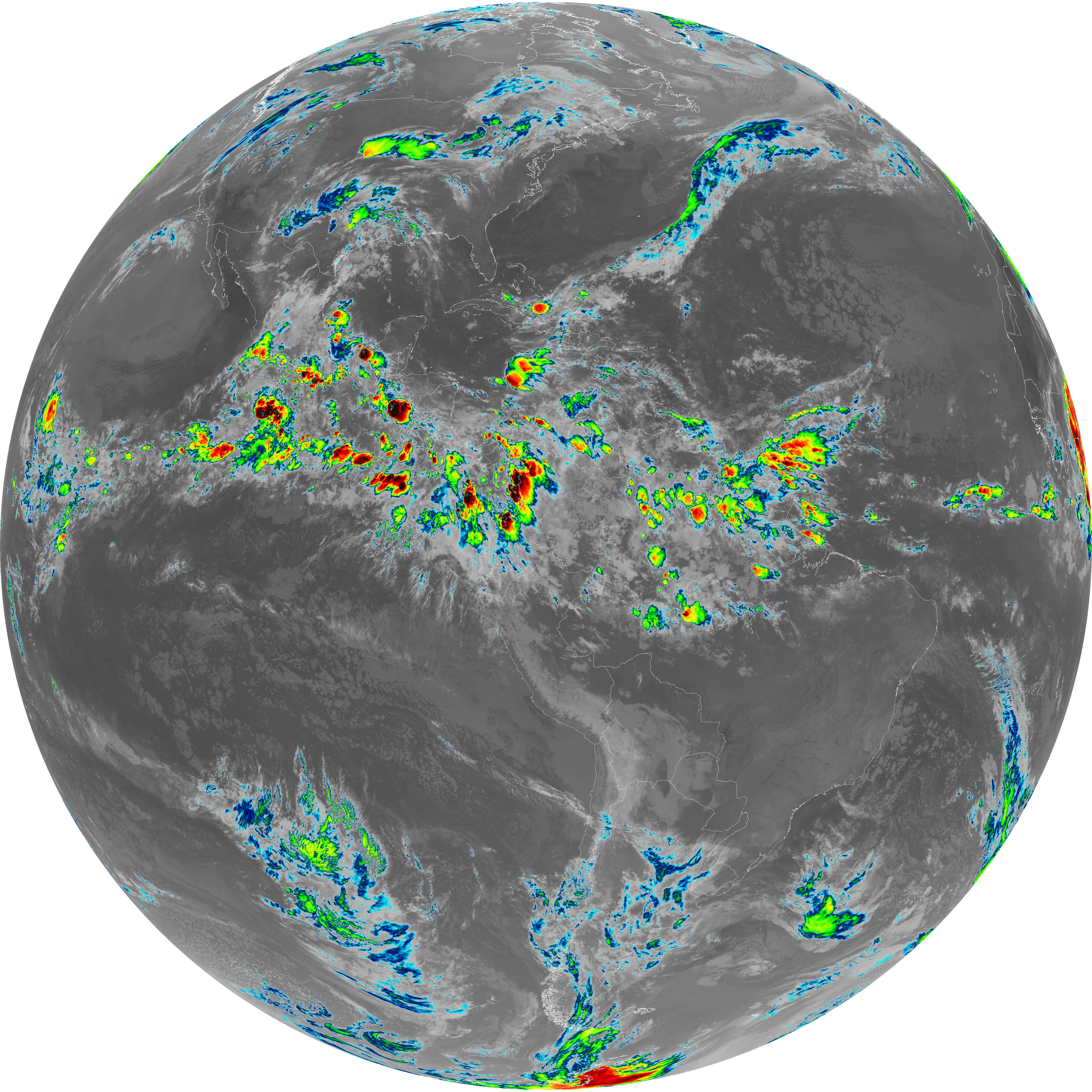
| abi_rgb_Dirty_Longwave_Window_map.png | 13890773 | 2026-Jun-06 08:57 |
| abi_rgb_Infrared_Longwave_Window_Band.png | 14161606 | 2026-Jun-06 08:54 |
| abi_rgb_Infrared_Longwave_Window_Band_map.png | 14205284 | 2026-Jun-06 08:54 |
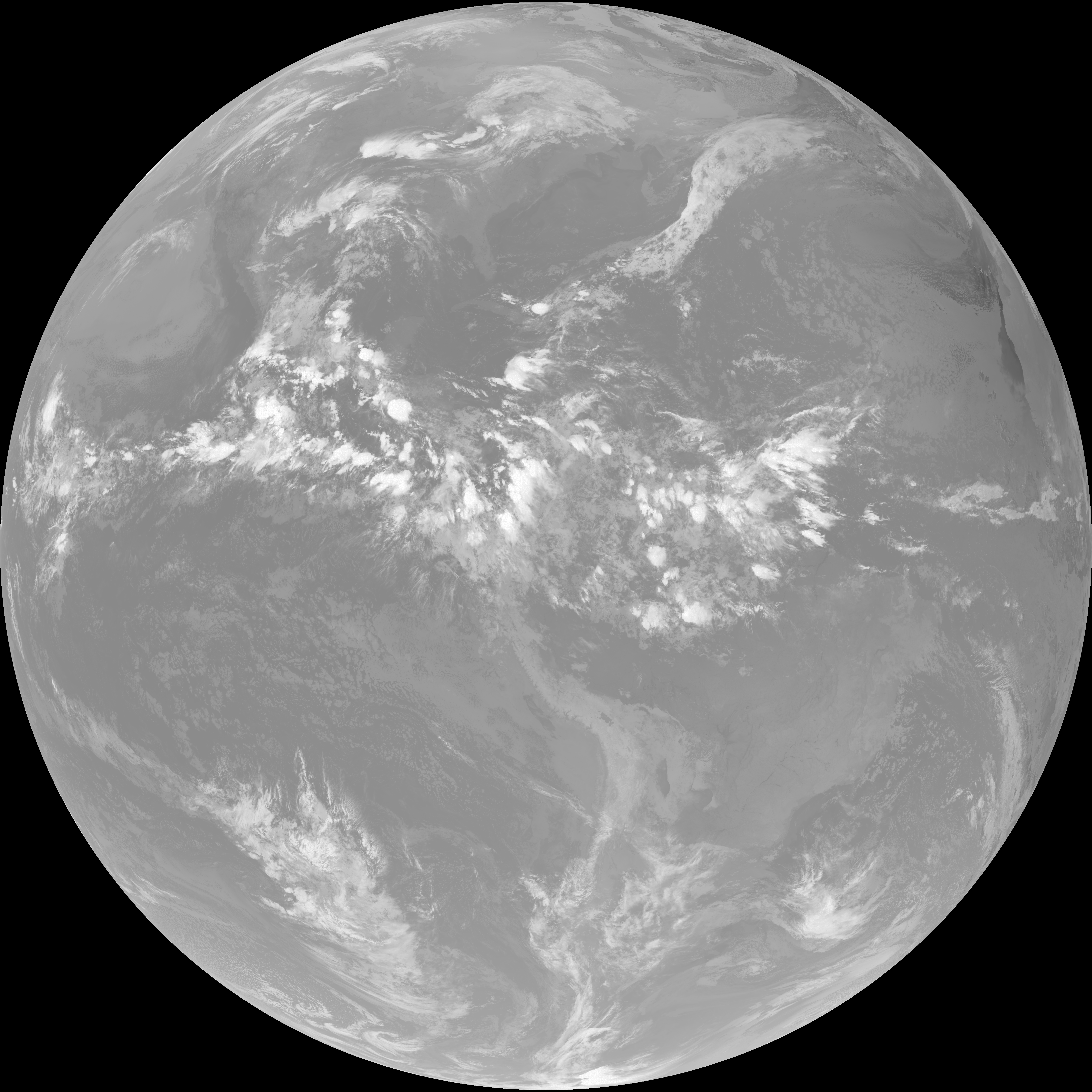
| abi_rgb_Mid-level_Tropospheric_Water_Vapor.png | 8647713 | 2026-Jun-06 08:51 |
| abi_rgb_Mid-level_Tropospheric_Water_Vapor_map.png | 8748651 | 2026-Jun-06 08:51 |
| abi_rgb_Shortwave_Window_Band.png | 15464883 | 2026-Jun-06 08:43 |
| abi_rgb_Shortwave_Window_Band_map.png | 15518635 | 2026-Jun-06 08:43 |
| abi_rgb_Upper-Level_Tropospheric_Water_Vapor.png | 7438662 | 2026-Jun-06 08:49 |
| abi_rgb_Upper-Level_Tropospheric_Water_Vapor_map.png | 7551669 | 2026-Jun-06 08:49 |