| Parent directory/ | - | - |
| G19_2_20260606T093021Z.png | 4665897 | 2026-Jun-06 09:47 |
| G19_8_20260606T093021Z.png | 5579071 | 2026-Jun-06 09:49 |
| G19_9_20260606T093021Z.png | 6455532 | 2026-Jun-06 09:51 |
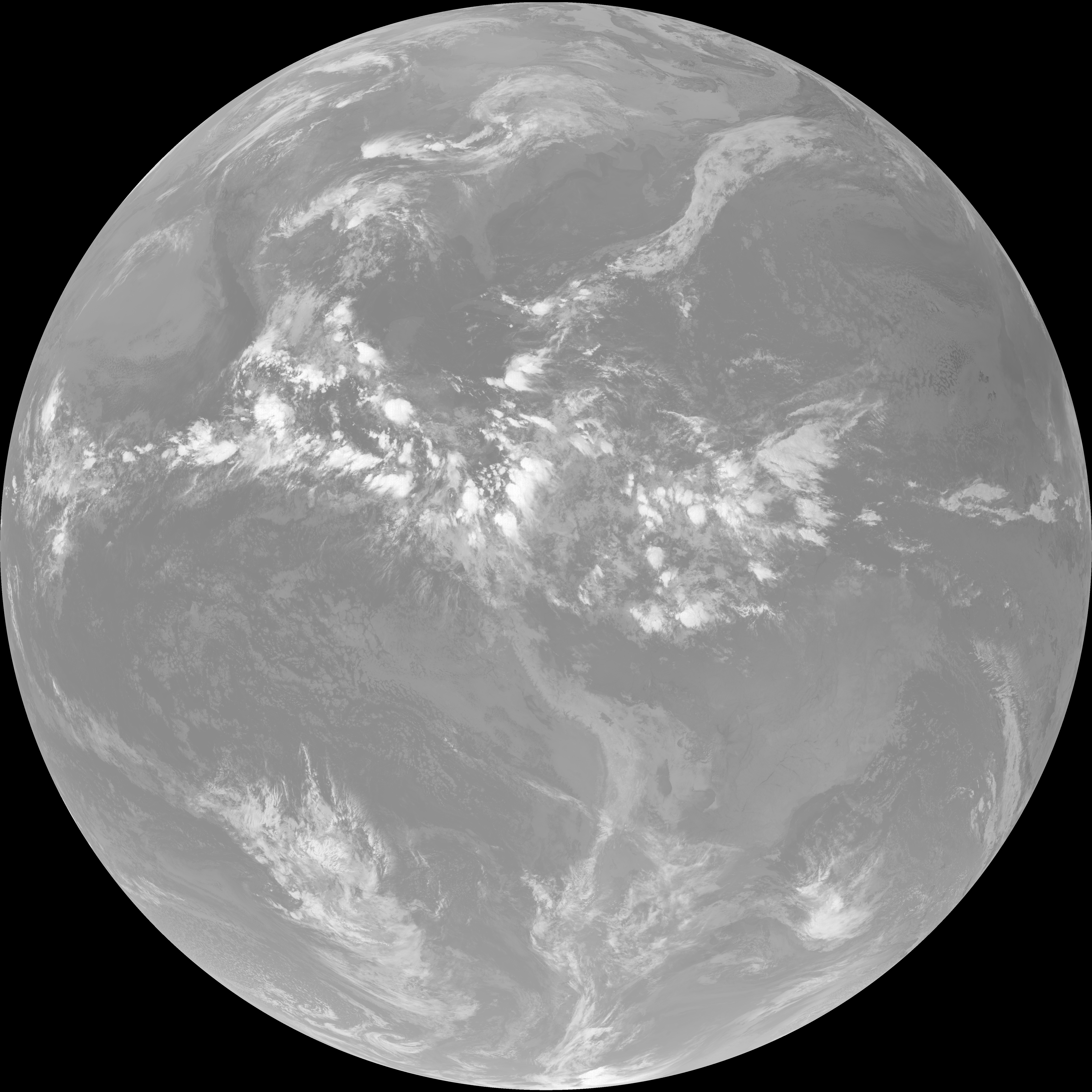
| abi_rgb_Upper-Level_Tropospheric_Water_Vapor.png | 7441711 | 2026-Jun-06 09:49 |
| abi_rgb_Upper-Level_Tropospheric_Water_Vapor_map.png | 7554356 | 2026-Jun-06 09:49 |
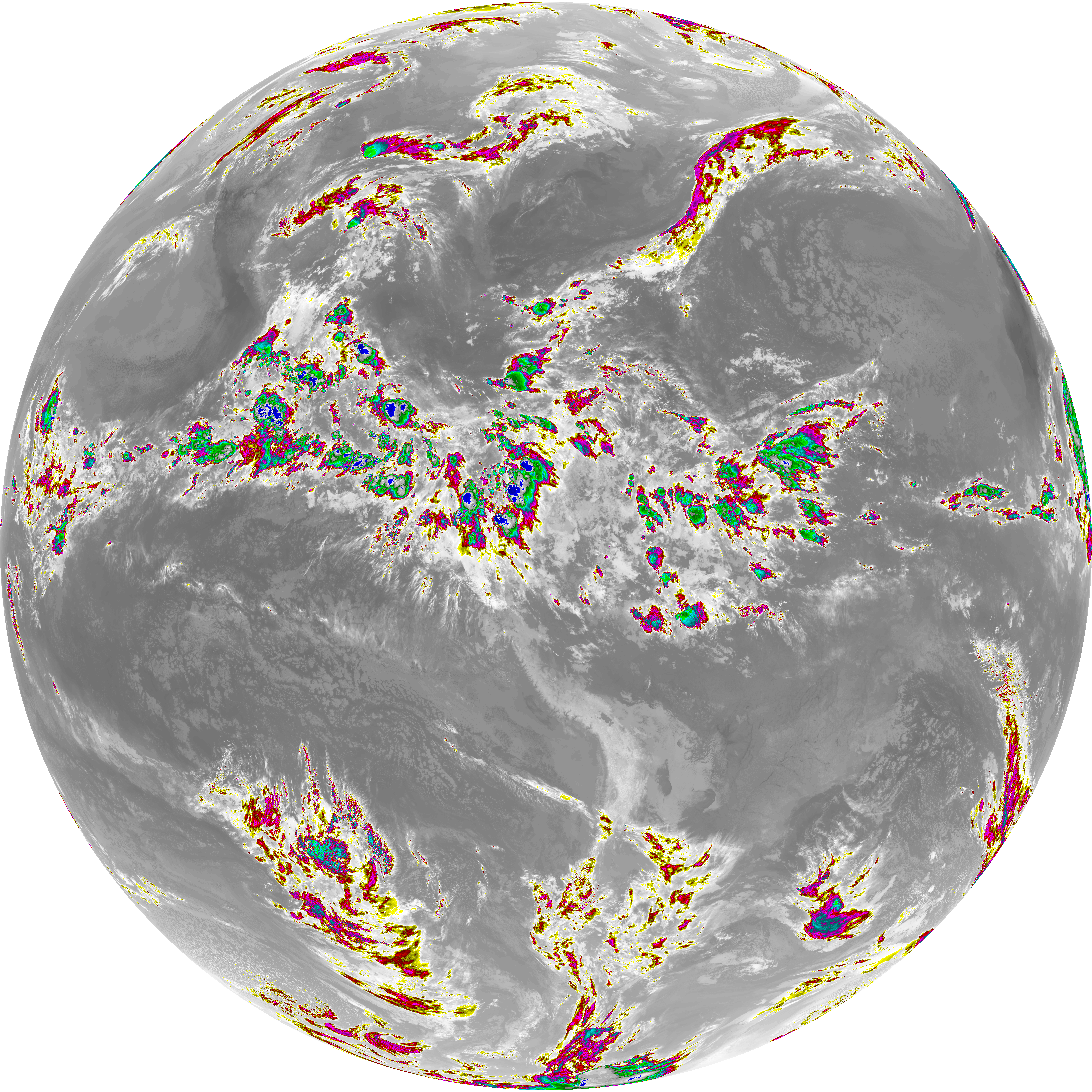
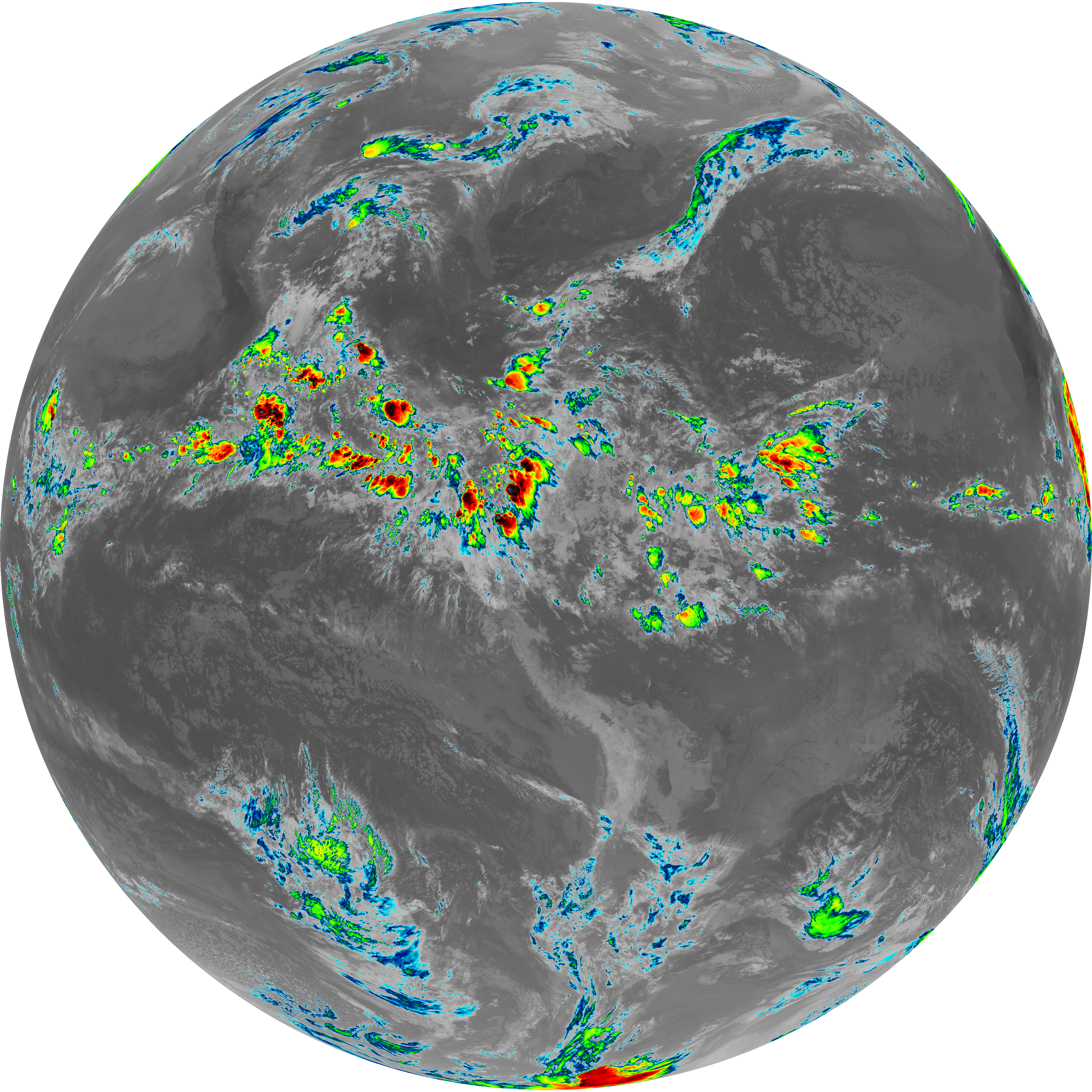
| abi_rgb_Mid-level_Tropospheric_Water_Vapor.png | 8653835 | 2026-Jun-06 09:51 |
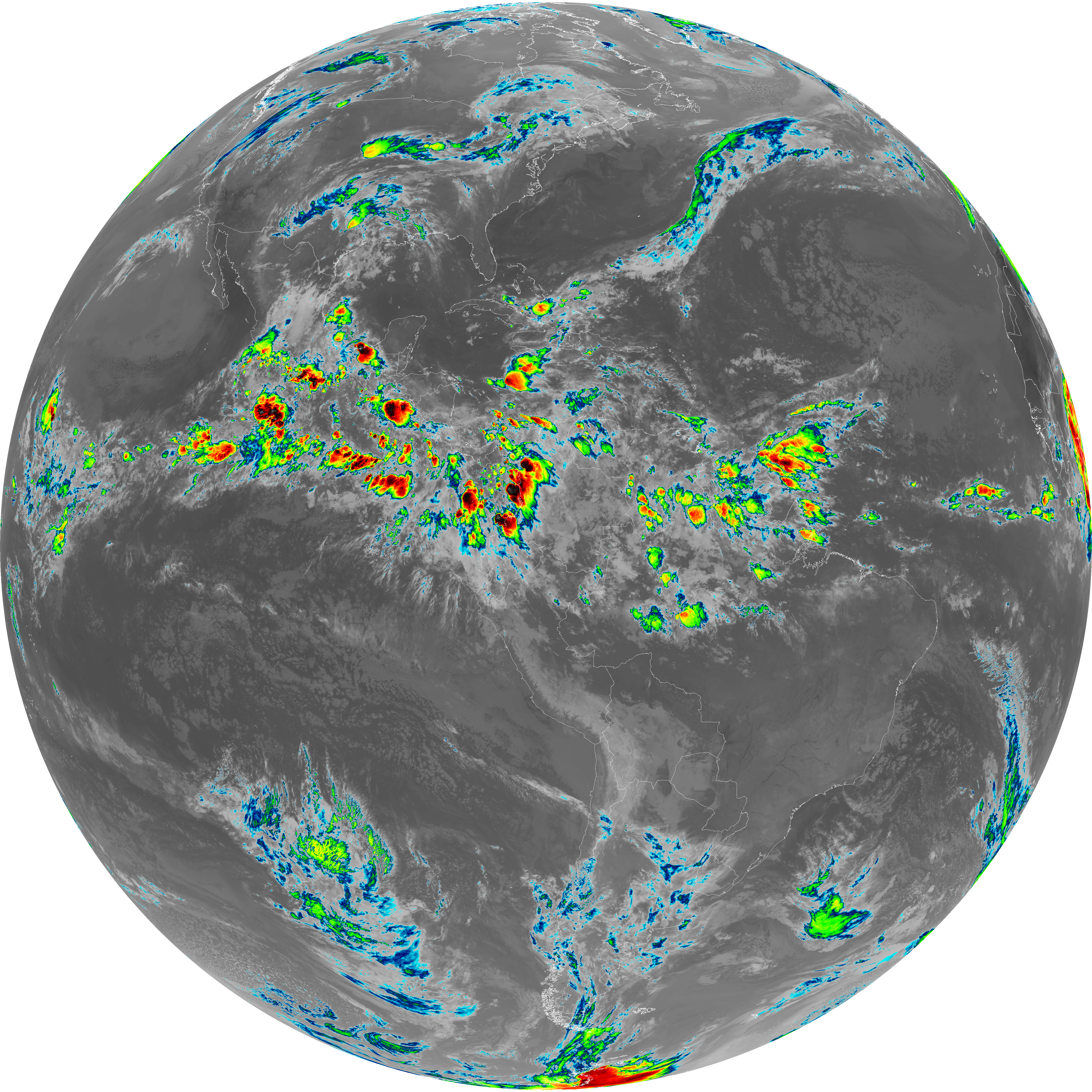
| abi_rgb_Mid-level_Tropospheric_Water_Vapor_map.png | 8754624 | 2026-Jun-06 09:51 |
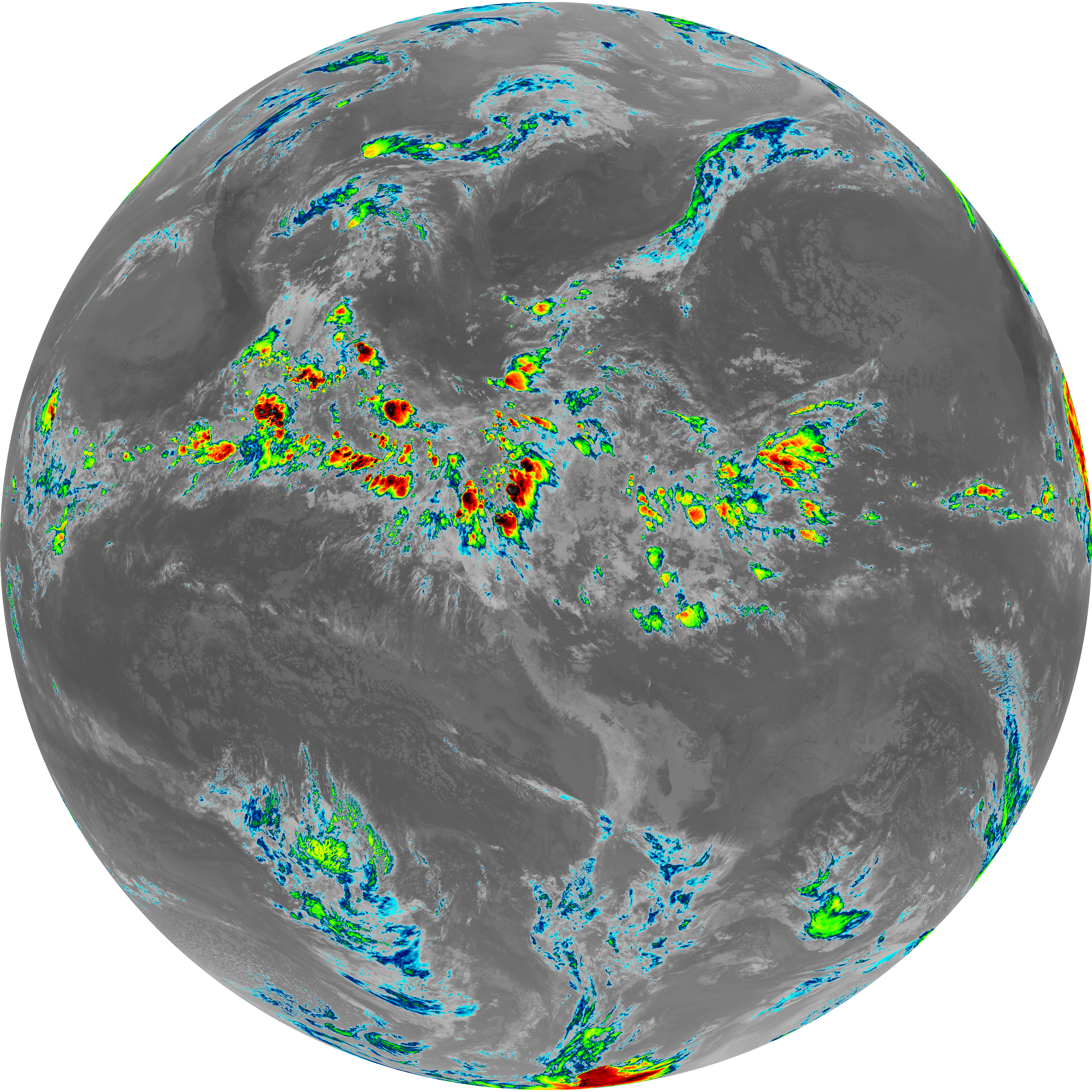
| G19_15_20260606T093021Z.png | 10314382 | 2026-Jun-06 09:57 |
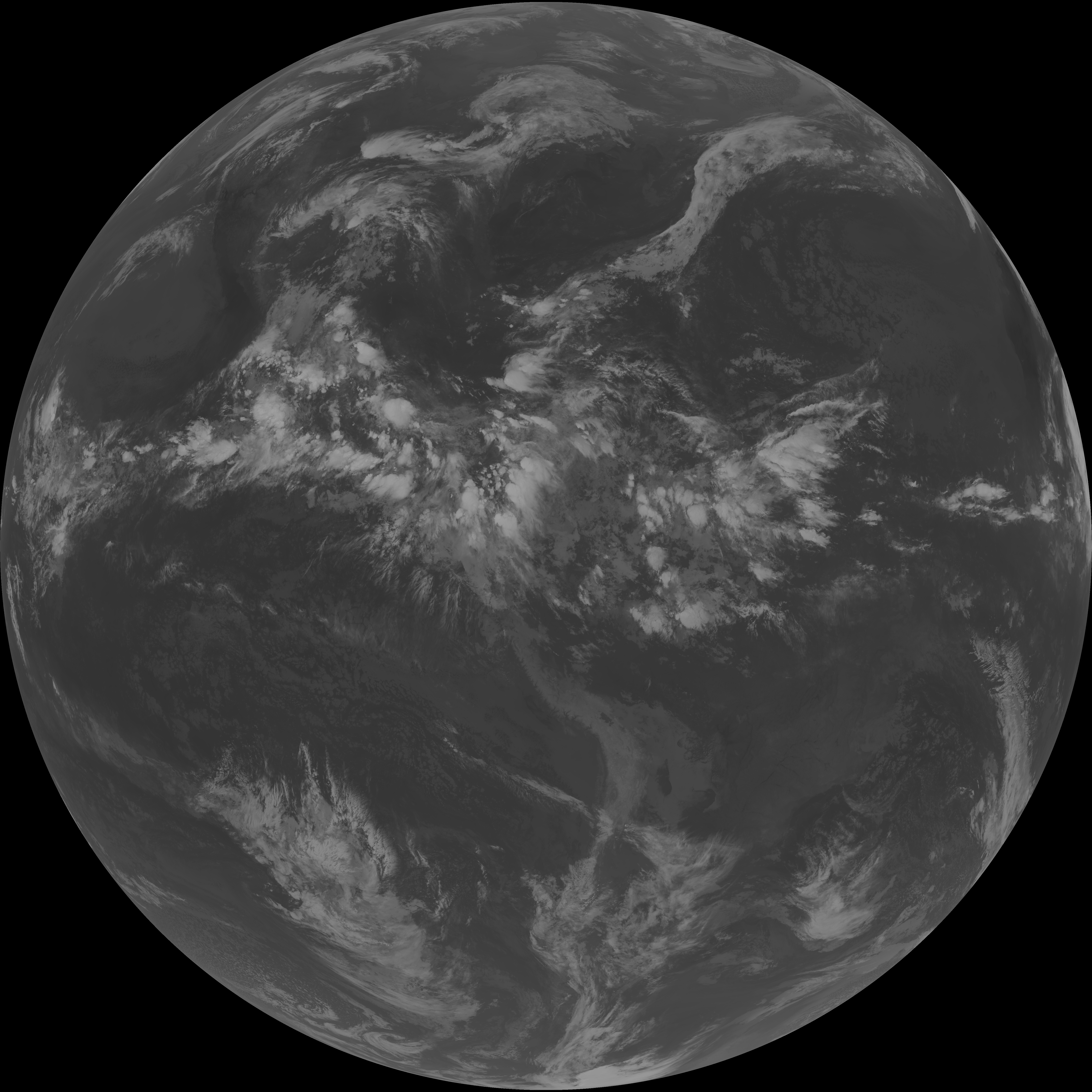
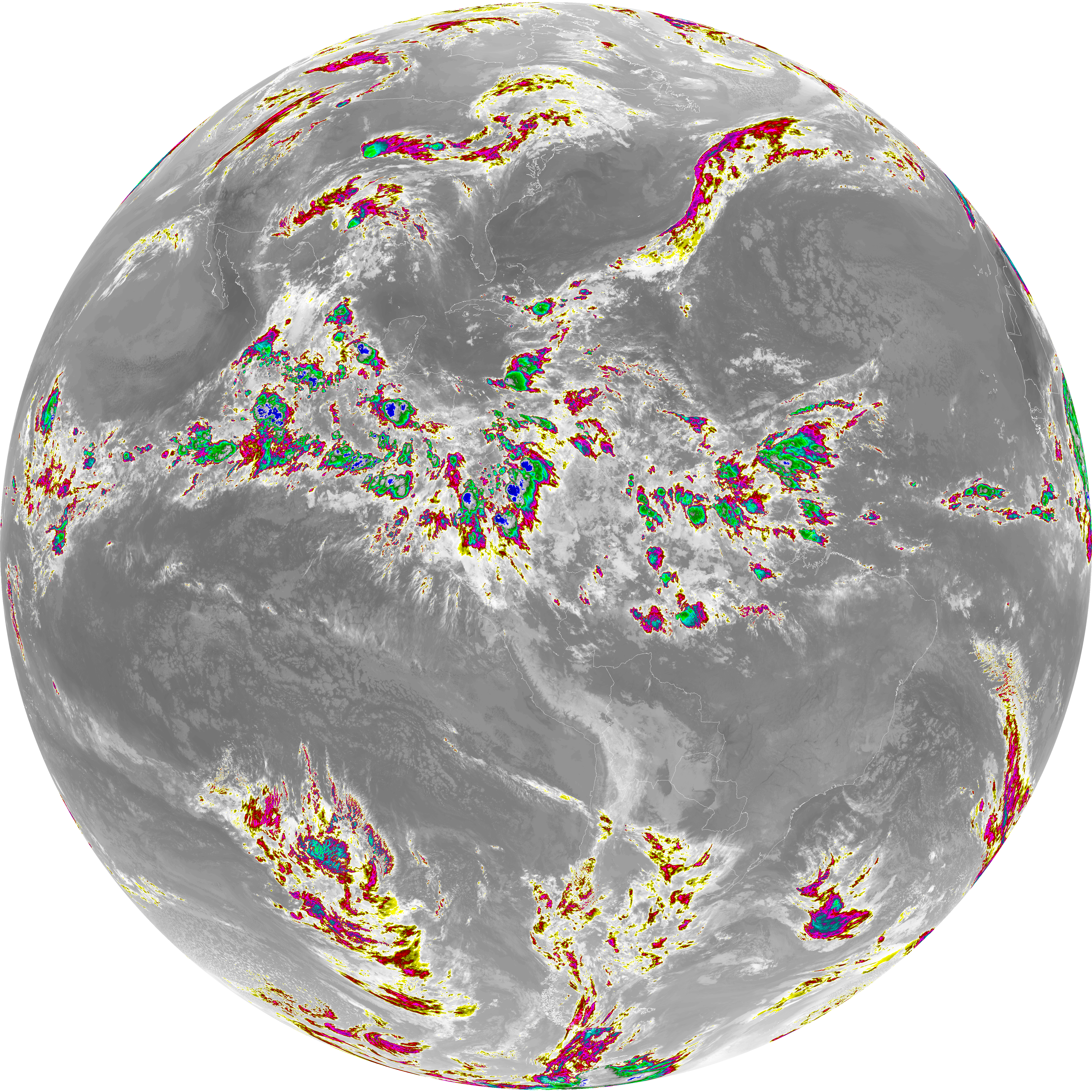
| G19_13_20260606T093021Z.png | 10423233 | 2026-Jun-06 09:46 |
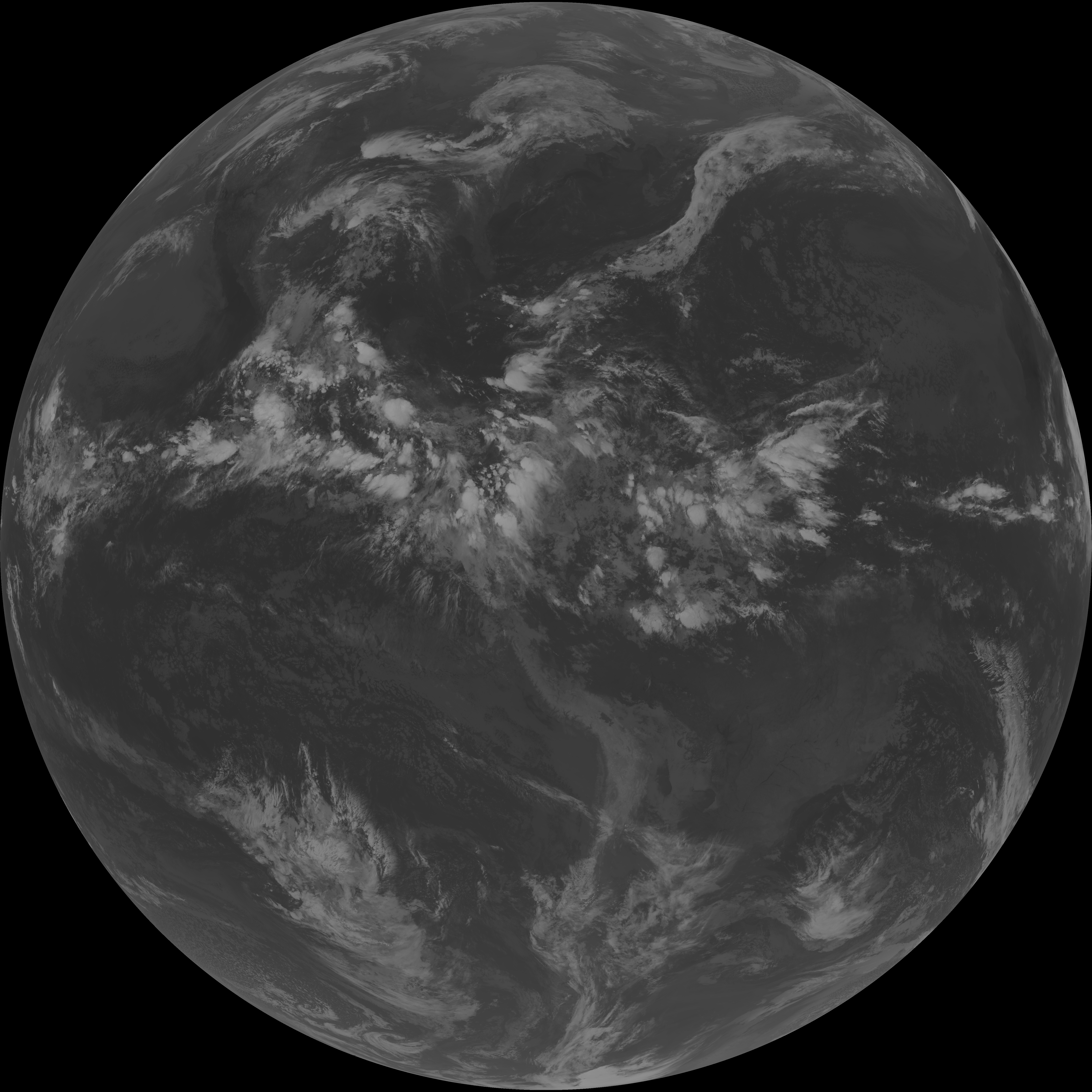
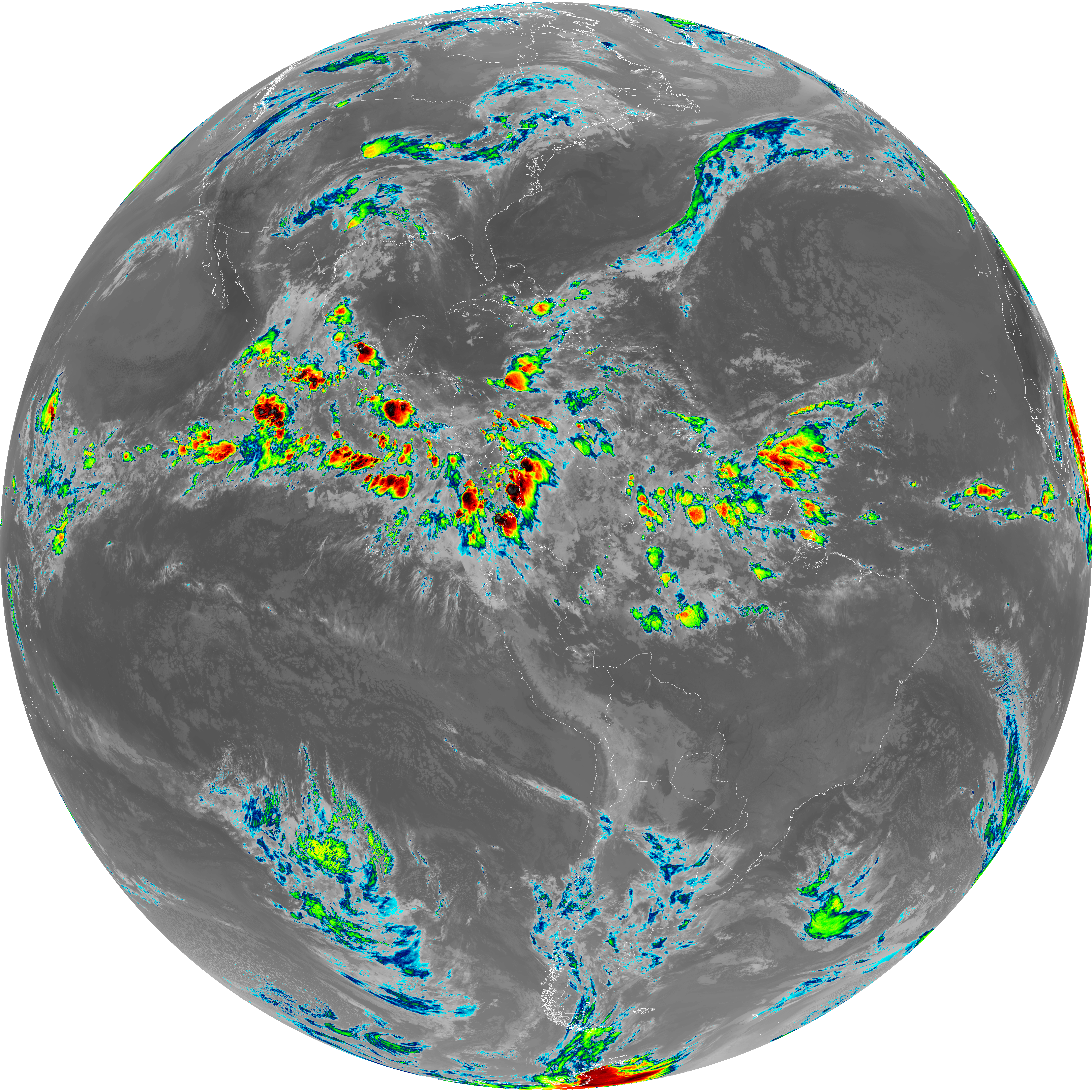
| G19_14_20260606T093021Z.png | 10581092 | 2026-Jun-06 09:54 |
| G19_7_20260606T093021Z.png | 11234980 | 2026-Jun-06 09:43 |
| abi_rgb_Dirty_Longwave_Window_-_CIRA.png | 12114053 | 2026-Jun-06 09:58 |
| abi_rgb_Dirty_Longwave_Window_-_CIRA_map.png | 12171501 | 2026-Jun-06 09:58 |
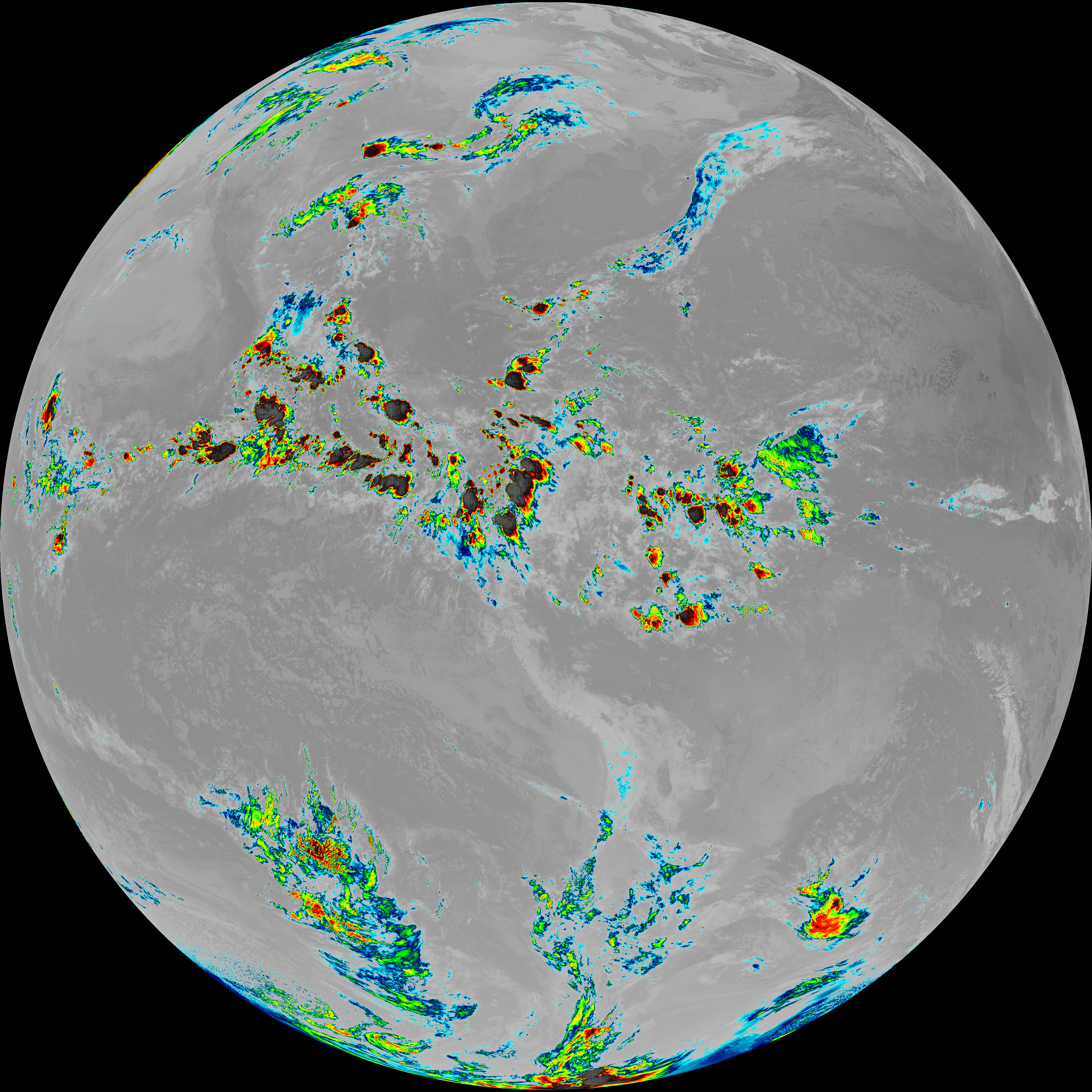
| abi_rgb_Dirty_Longwave_Window.png | 13850430 | 2026-Jun-06 09:58 |
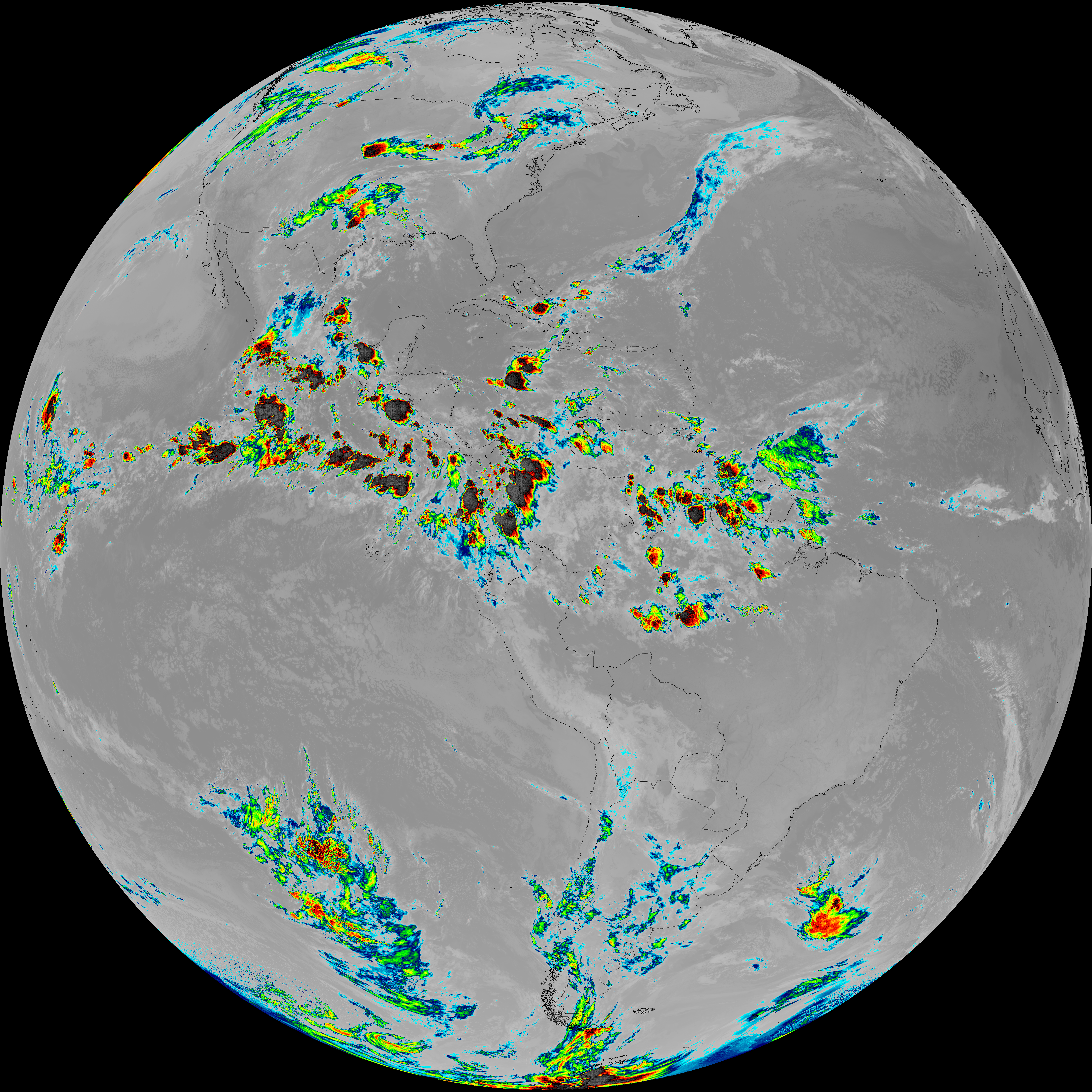
| abi_rgb_Dirty_Longwave_Window_map.png | 13895505 | 2026-Jun-06 09:58 |
| abi_rgb_Clean_Longwave_IR_Window_Band.png | 13990971 | 2026-Jun-06 09:46 |
| abi_rgb_Clean_Longwave_IR_Window_Band_map.png | 14034457 | 2026-Jun-06 09:46 |
| abi_rgb_Infrared_Longwave_Window_Band.png | 14169512 | 2026-Jun-06 09:55 |
| abi_rgb_Infrared_Longwave_Window_Band_map.png | 14211028 | 2026-Jun-06 09:55 |
| abi_rgb_Shortwave_Window_Band.png | 15226363 | 2026-Jun-06 09:43 |
| abi_rgb_Shortwave_Window_Band_map.png | 15281815 | 2026-Jun-06 09:43 |