| Parent directory/ | - | - |
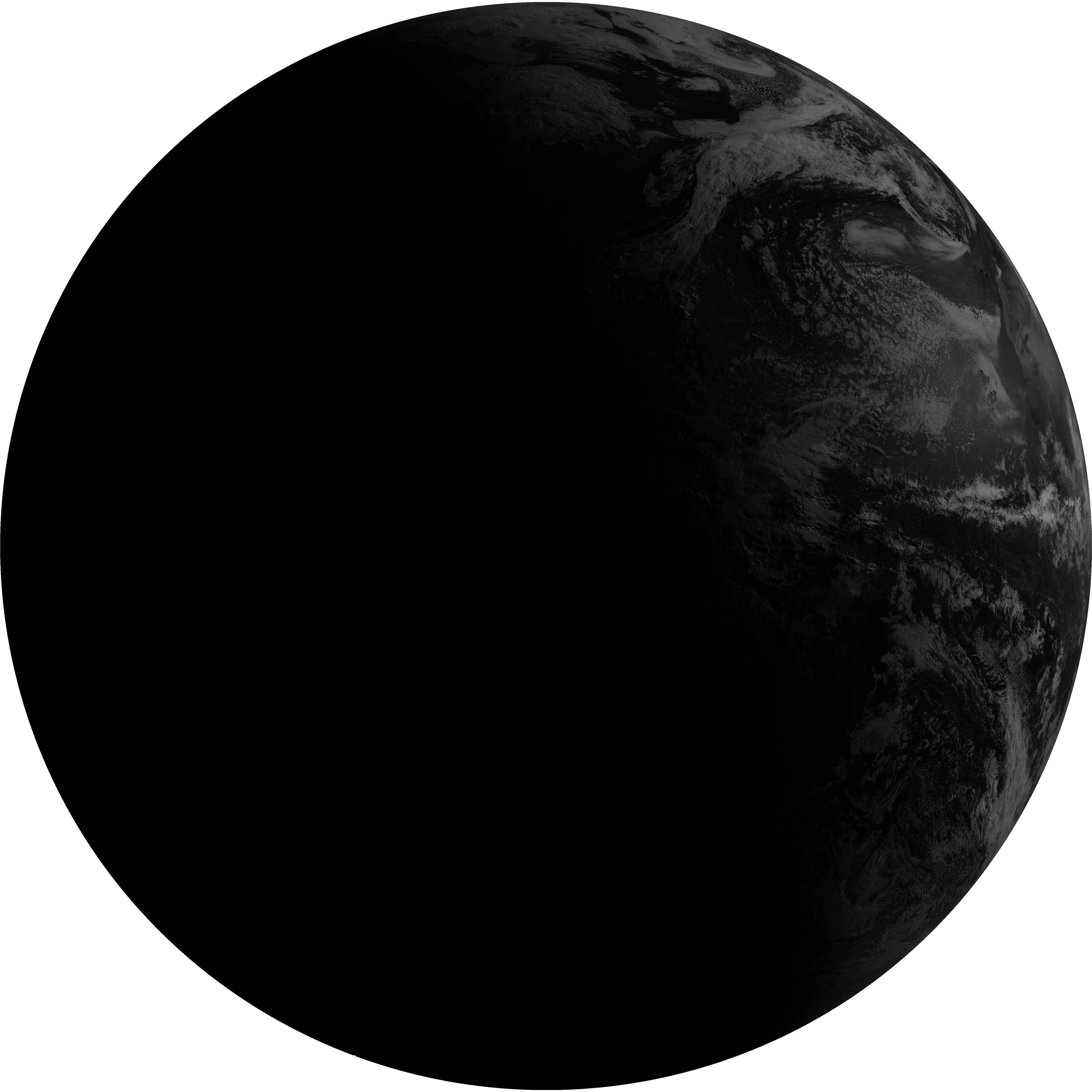
| G19_2_20260606T100021Z.png | 5458975 | 2026-Jun-06 10:18 |
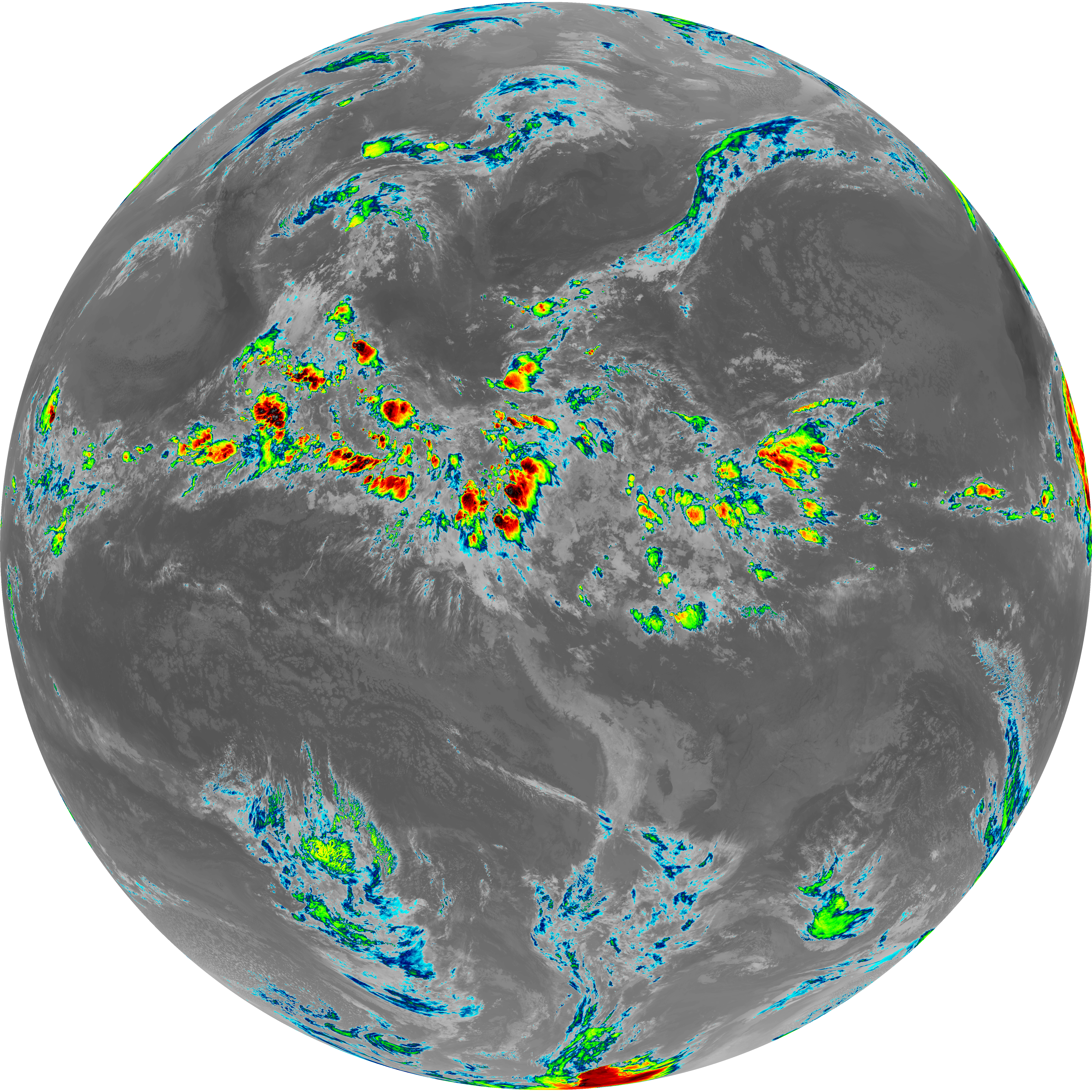
| G19_8_20260606T100021Z.png | 5583933 | 2026-Jun-06 10:20 |
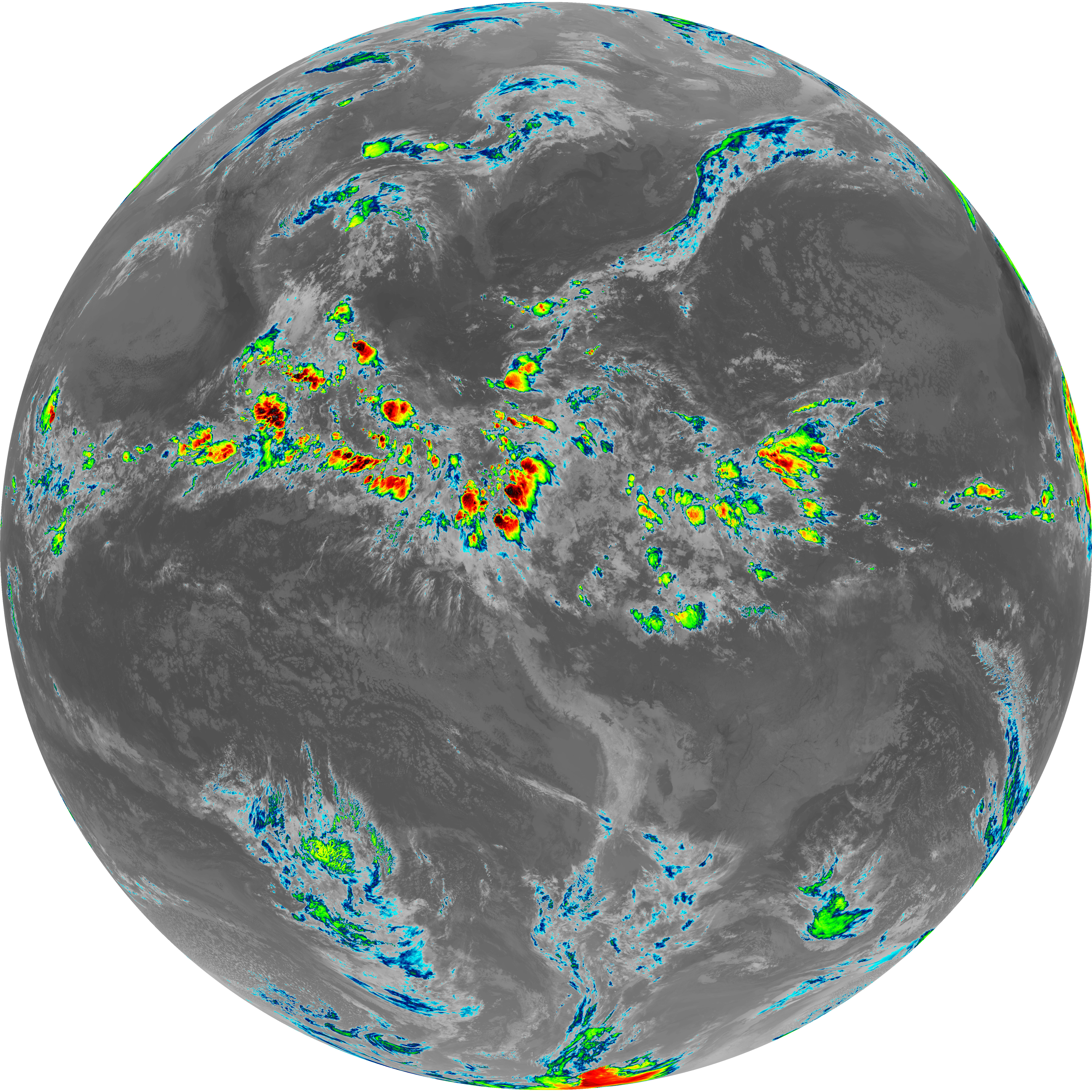
| G19_9_20260606T100021Z.png | 6460236 | 2026-Jun-06 10:22 |
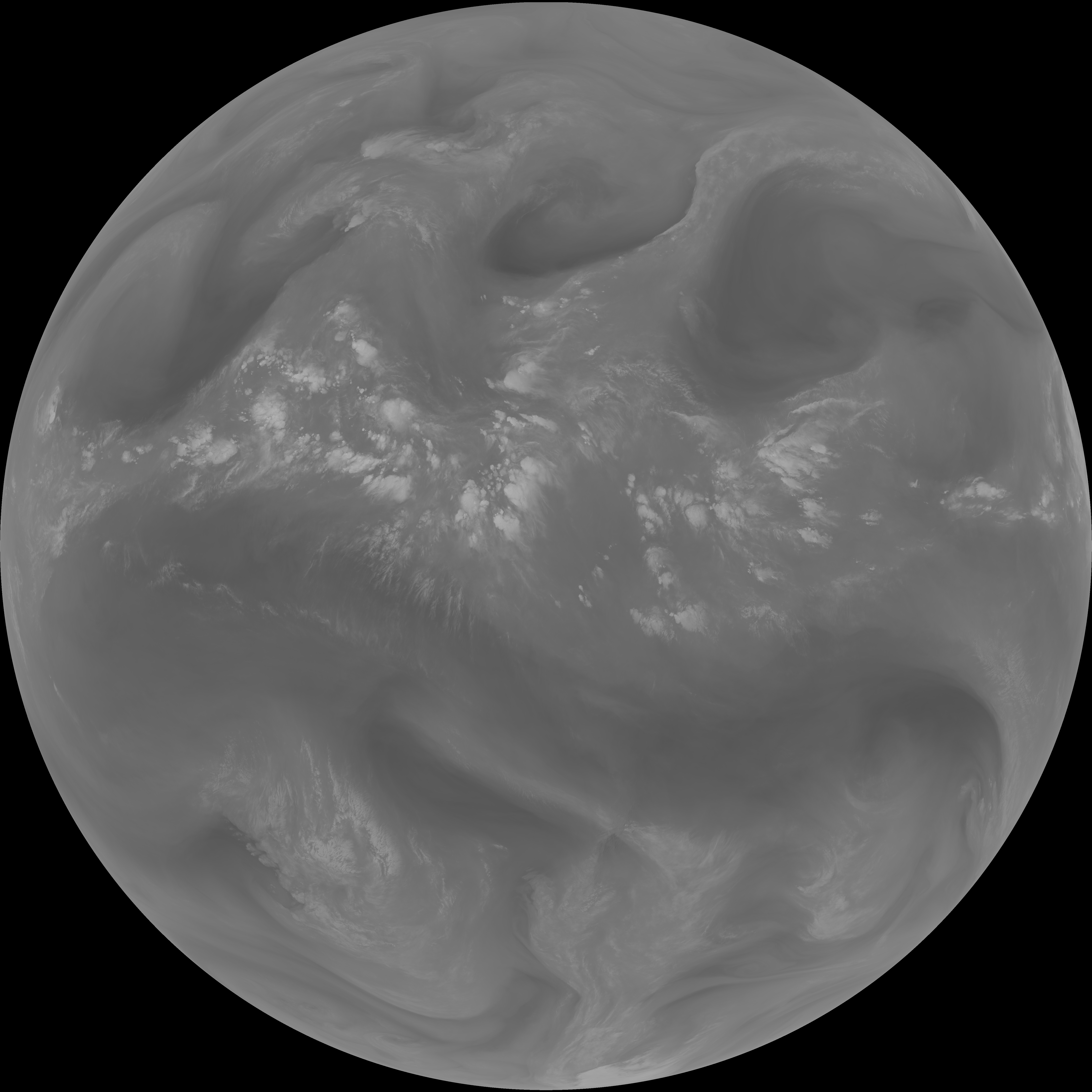
| abi_rgb_Upper-Level_Tropospheric_Water_Vapor.png | 7449980 | 2026-Jun-06 10:20 |
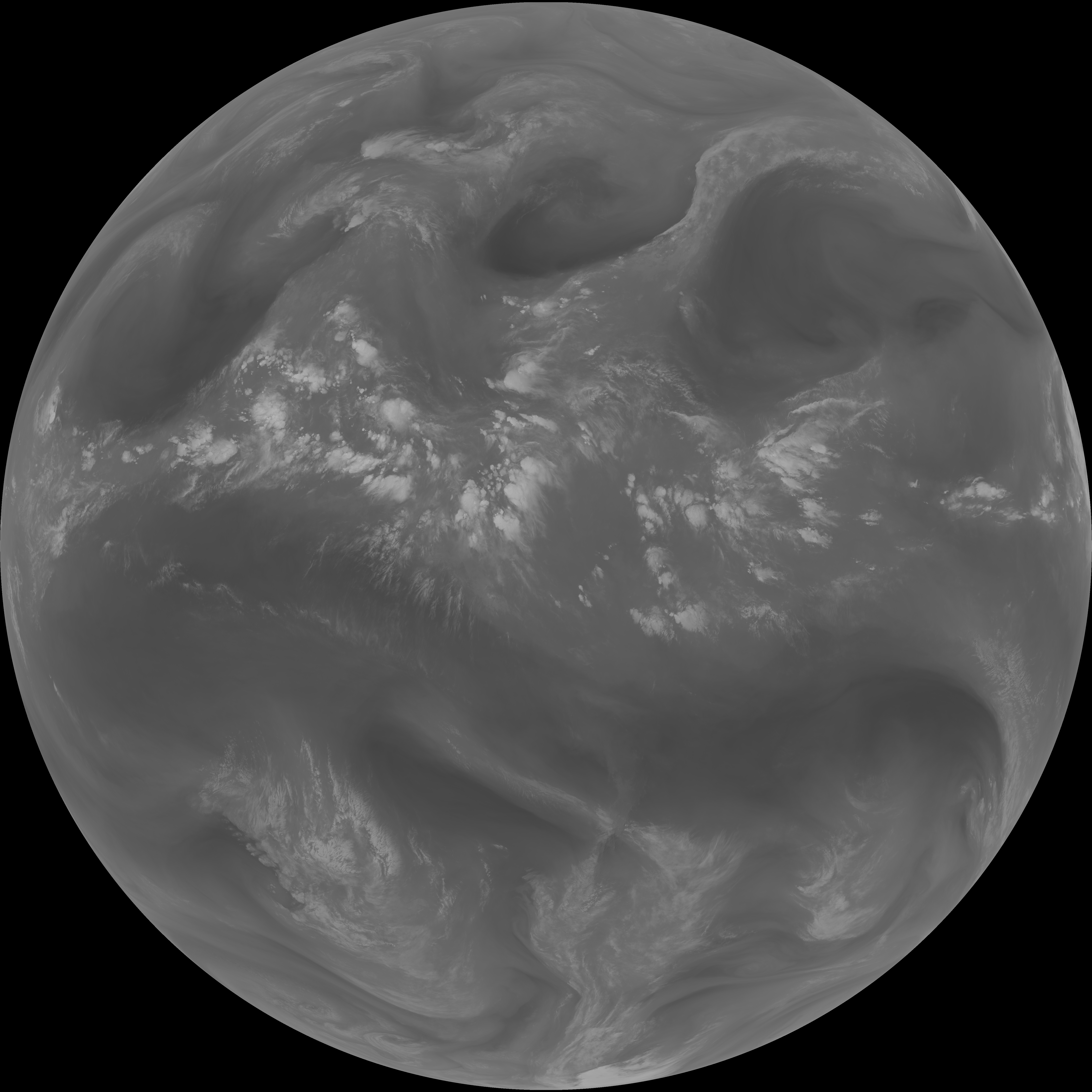
| abi_rgb_Upper-Level_Tropospheric_Water_Vapor_map.png | 7563036 | 2026-Jun-06 10:20 |
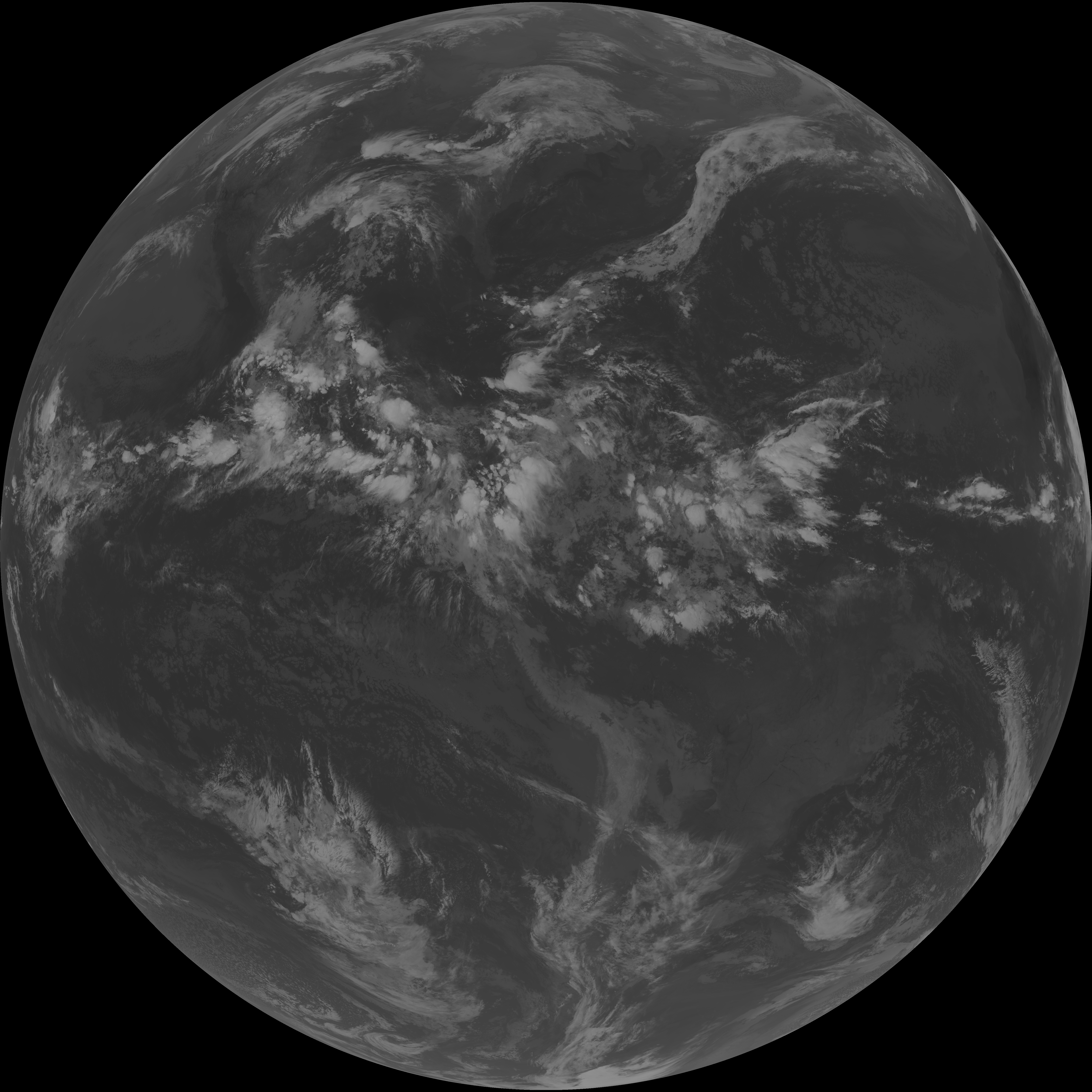
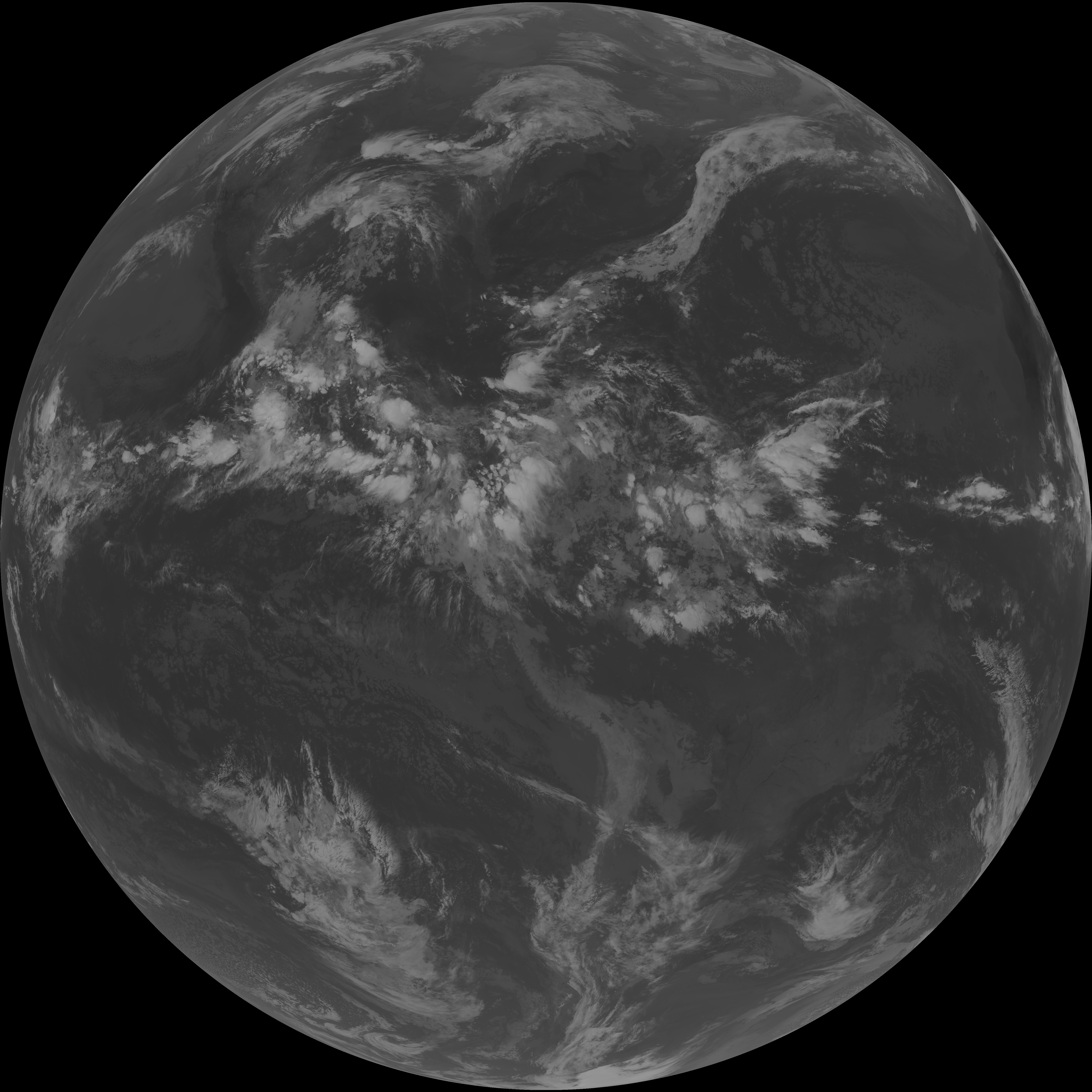
| abi_rgb_Mid-level_Tropospheric_Water_Vapor.png | 8662023 | 2026-Jun-06 10:22 |
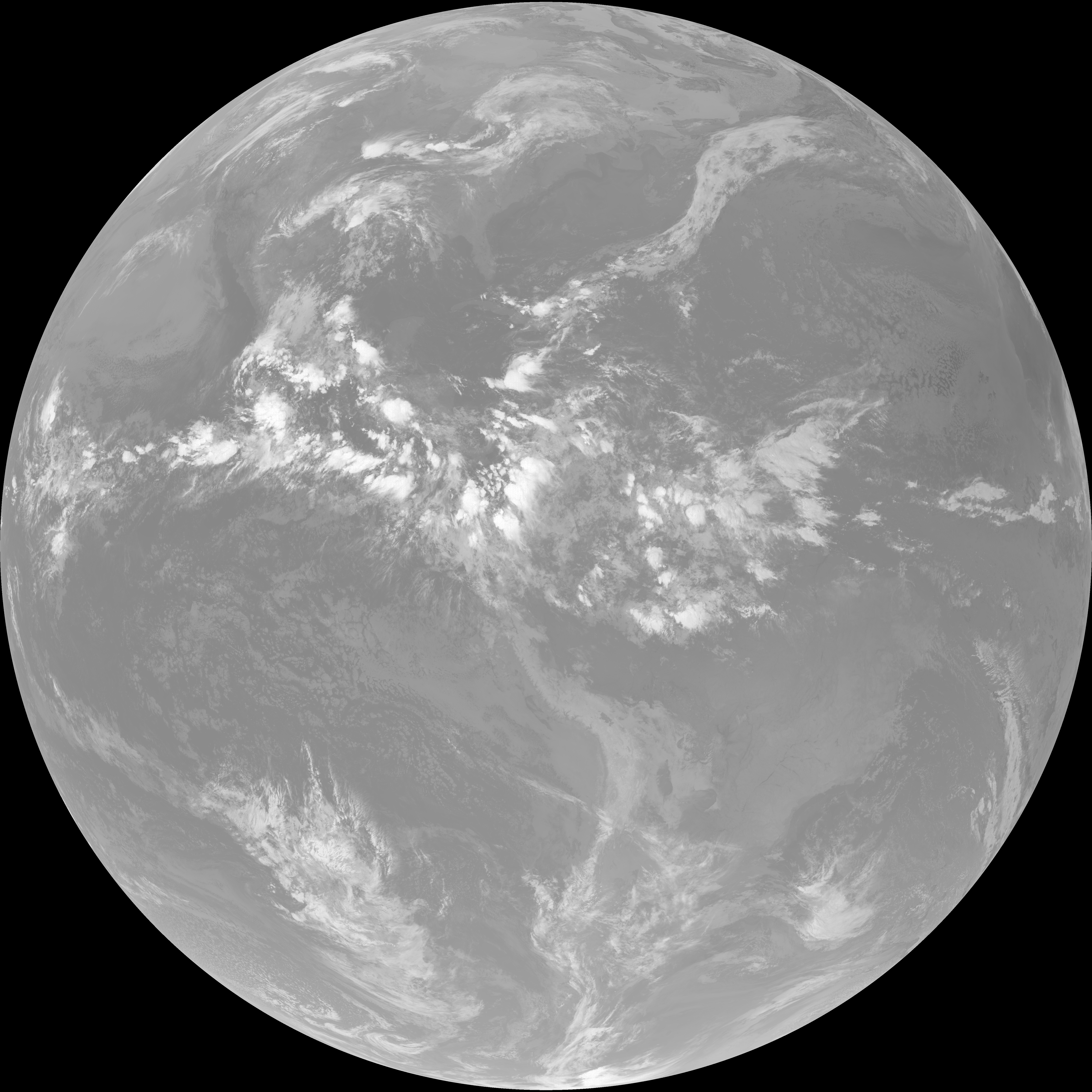
| abi_rgb_Mid-level_Tropospheric_Water_Vapor_map.png | 8763801 | 2026-Jun-06 10:22 |
| G19_15_20260606T100021Z.png | 10303153 | 2026-Jun-06 10:28 |
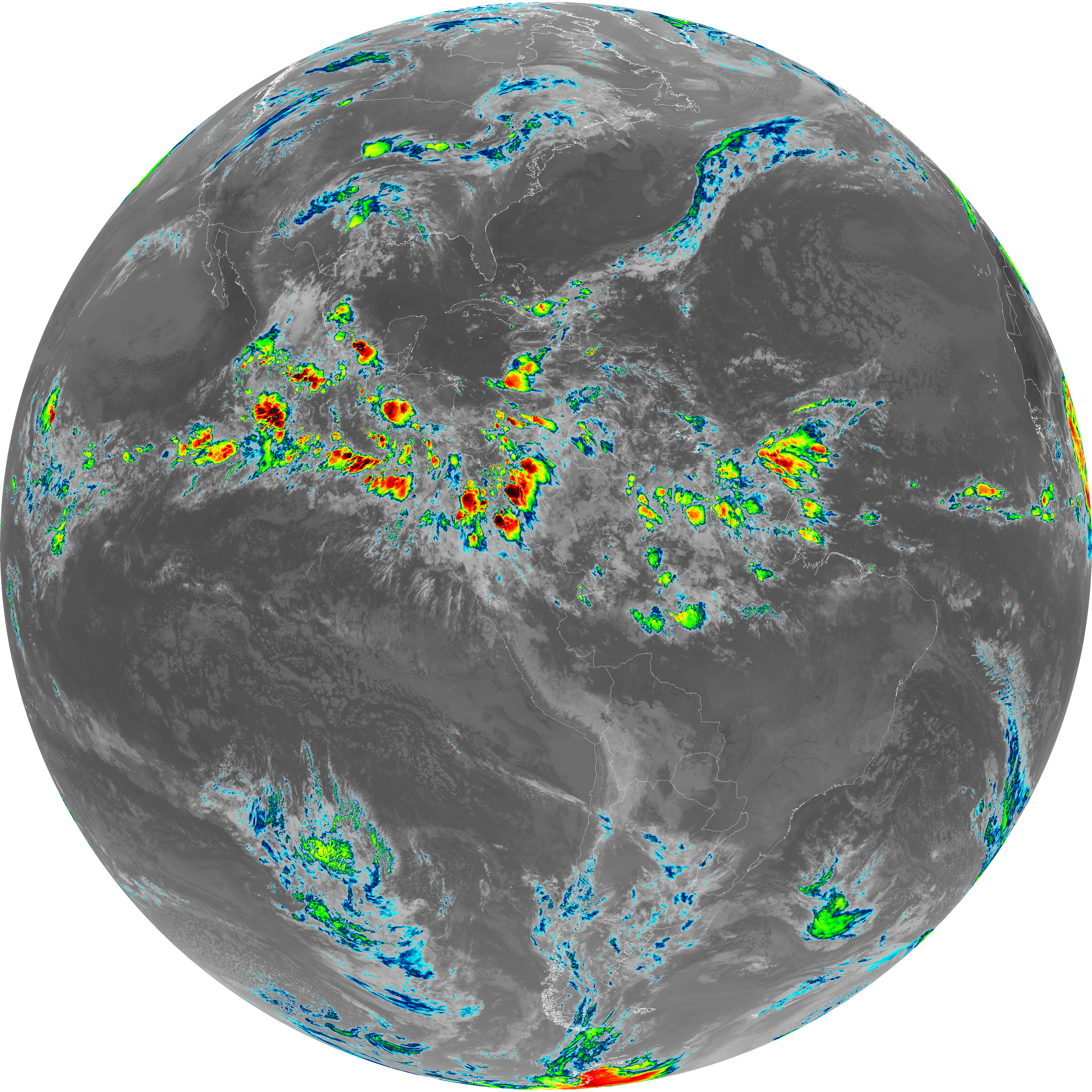
| G19_13_20260606T100021Z.png | 10406995 | 2026-Jun-06 10:16 |
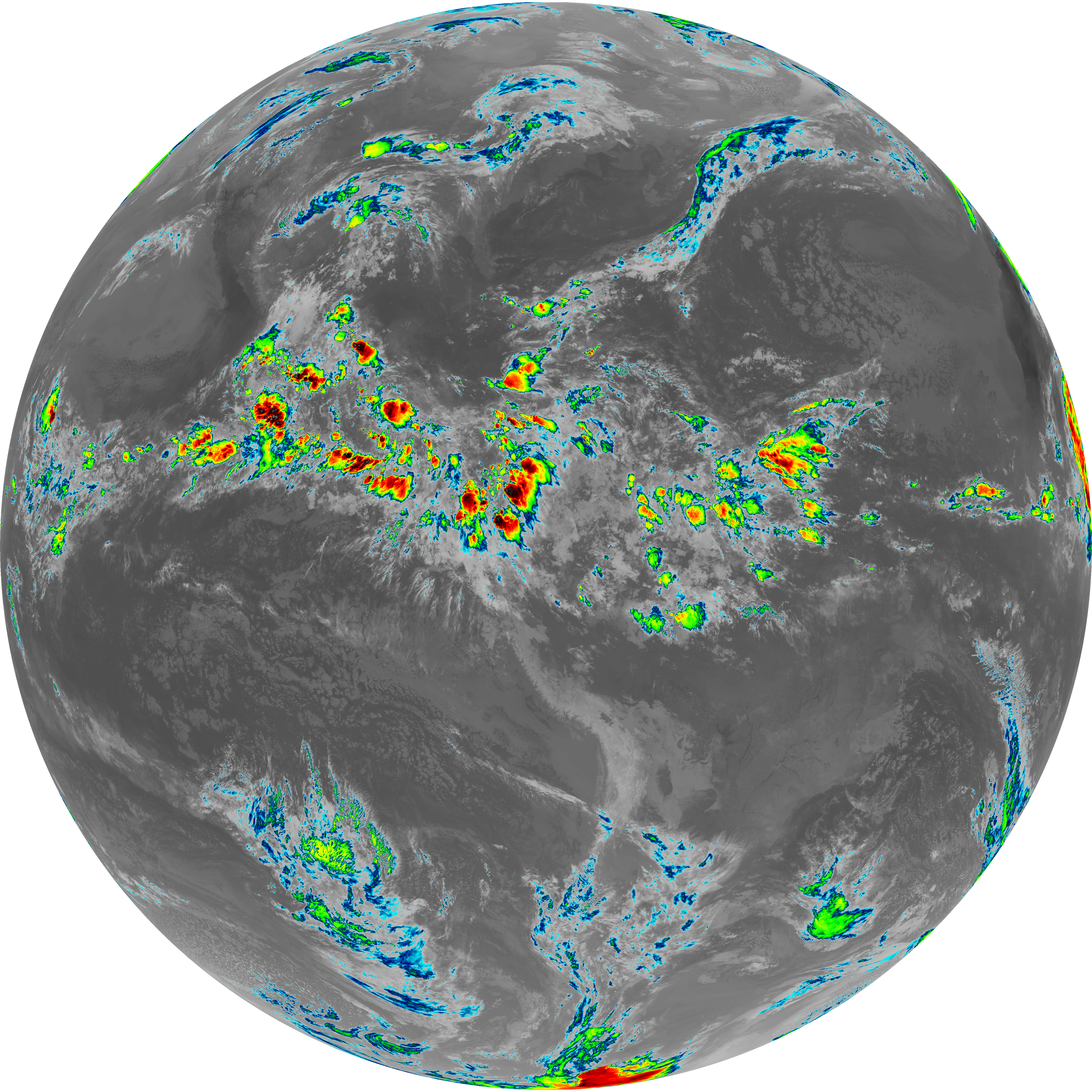
| G19_14_20260606T100021Z.png | 10563334 | 2026-Jun-06 10:25 |
| G19_7_20260606T100021Z.png | 11093925 | 2026-Jun-06 10:13 |
| abi_rgb_Dirty_Longwave_Window_-_CIRA.png | 12101262 | 2026-Jun-06 10:28 |
| abi_rgb_Dirty_Longwave_Window_-_CIRA_map.png | 12157597 | 2026-Jun-06 10:29 |
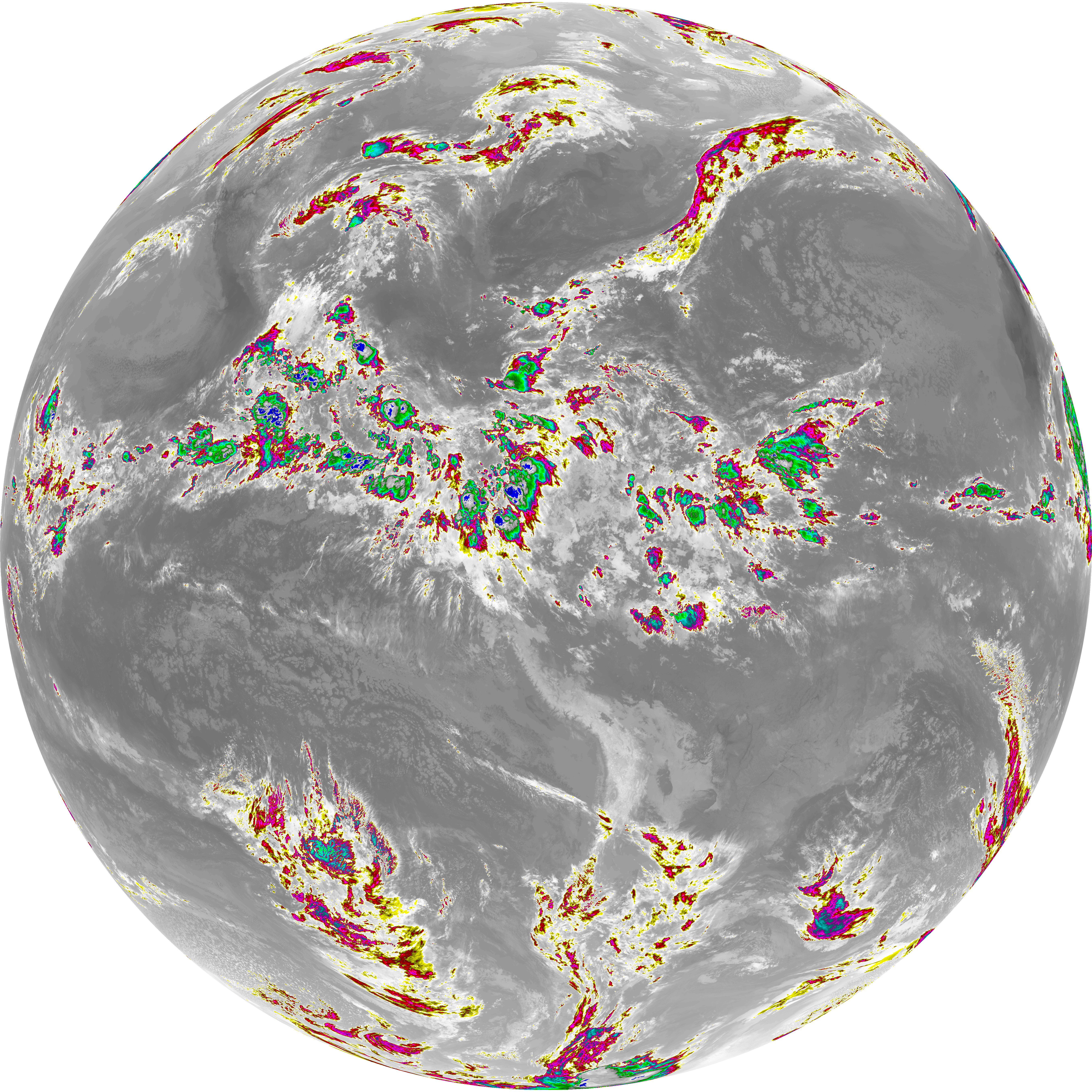
| abi_rgb_Dirty_Longwave_Window.png | 13837932 | 2026-Jun-06 10:28 |
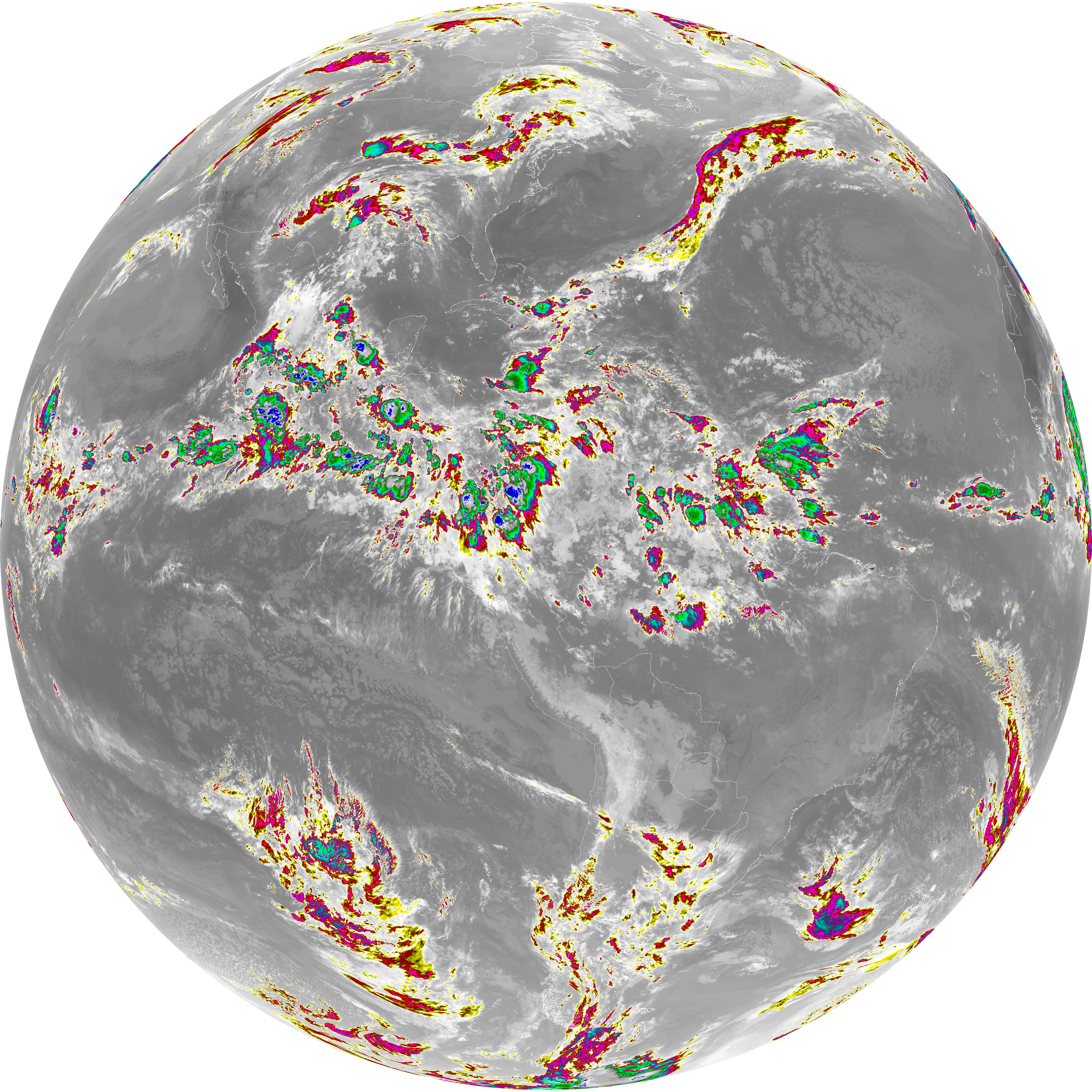
| abi_rgb_Dirty_Longwave_Window_map.png | 13881639 | 2026-Jun-06 10:28 |
| abi_rgb_Clean_Longwave_IR_Window_Band.png | 13971486 | 2026-Jun-06 10:16 |
| abi_rgb_Clean_Longwave_IR_Window_Band_map.png | 14012677 | 2026-Jun-06 10:17 |
| abi_rgb_Infrared_Longwave_Window_Band.png | 14149128 | 2026-Jun-06 10:25 |
| abi_rgb_Infrared_Longwave_Window_Band_map.png | 14189527 | 2026-Jun-06 10:25 |
| abi_rgb_Shortwave_Window_Band.png | 15073783 | 2026-Jun-06 10:13 |
| abi_rgb_Shortwave_Window_Band_map.png | 15129519 | 2026-Jun-06 10:14 |