| Parent directory/ | - | - |
| G19_8_20260606T103021Z.png | 5589624 | 2026-Jun-06 10:50 |
| G19_2_20260606T103021Z.png | 6334749 | 2026-Jun-06 10:48 |
| G19_9_20260606T103021Z.png | 6463009 | 2026-Jun-06 10:52 |
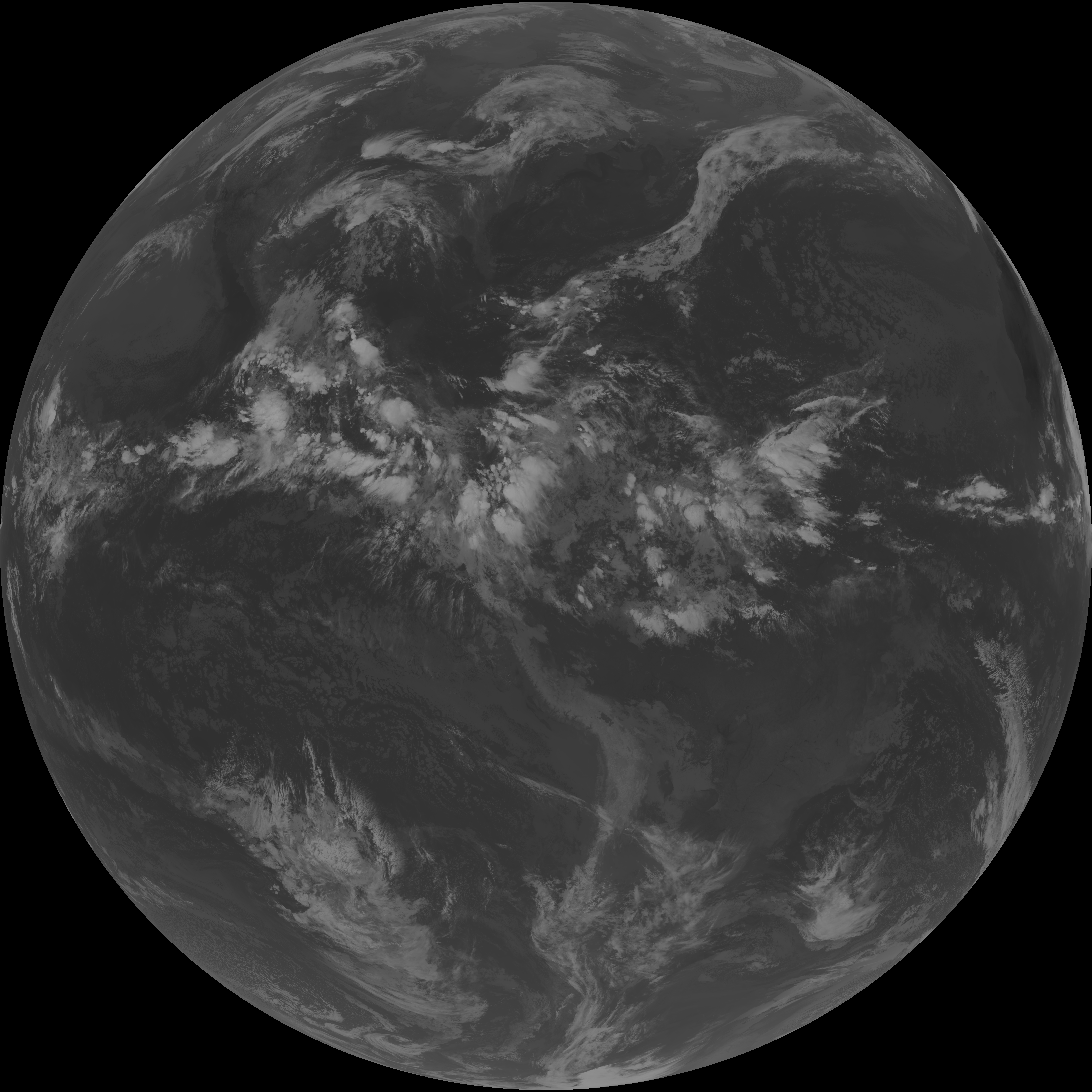
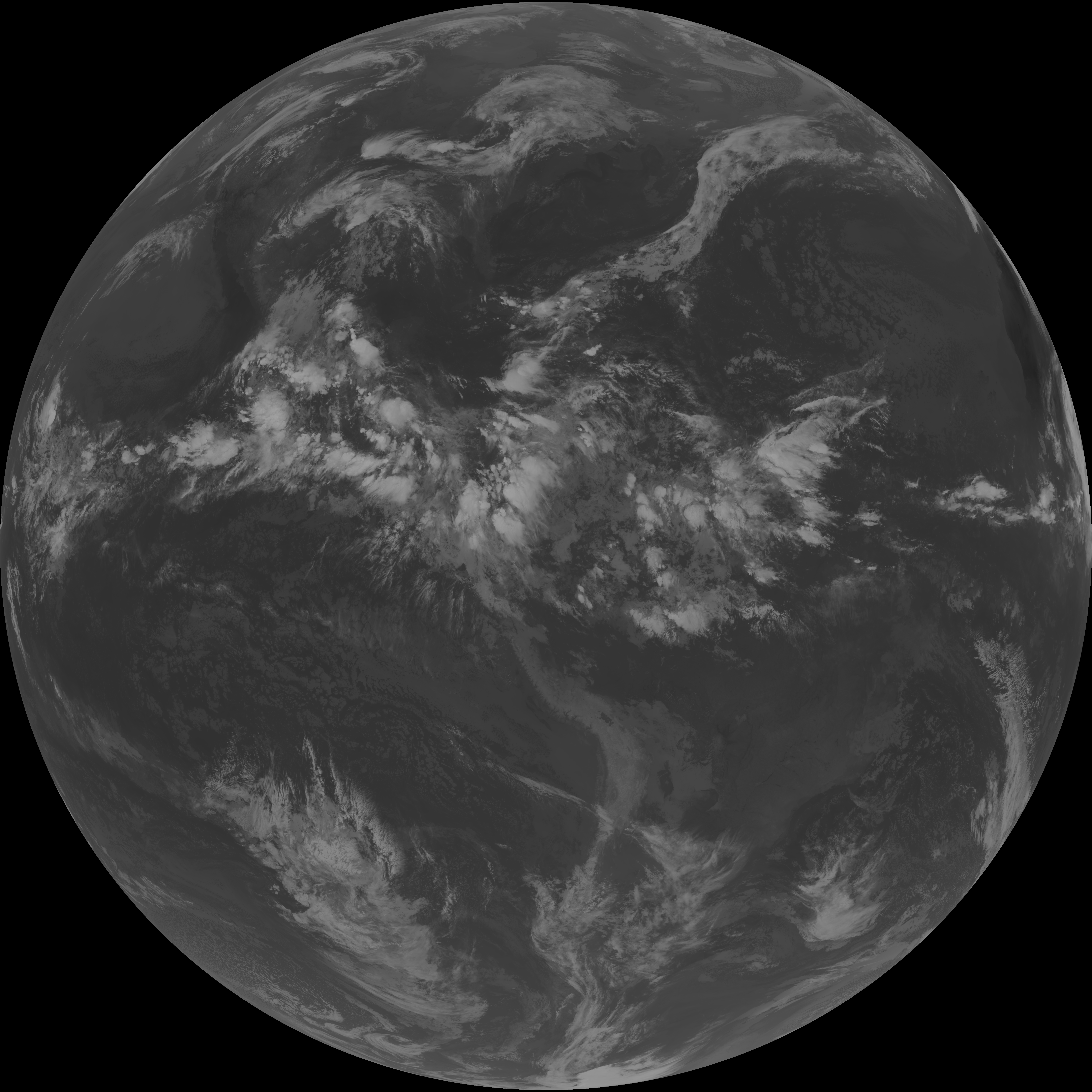
| abi_rgb_Upper-Level_Tropospheric_Water_Vapor.png | 7459412 | 2026-Jun-06 10:50 |
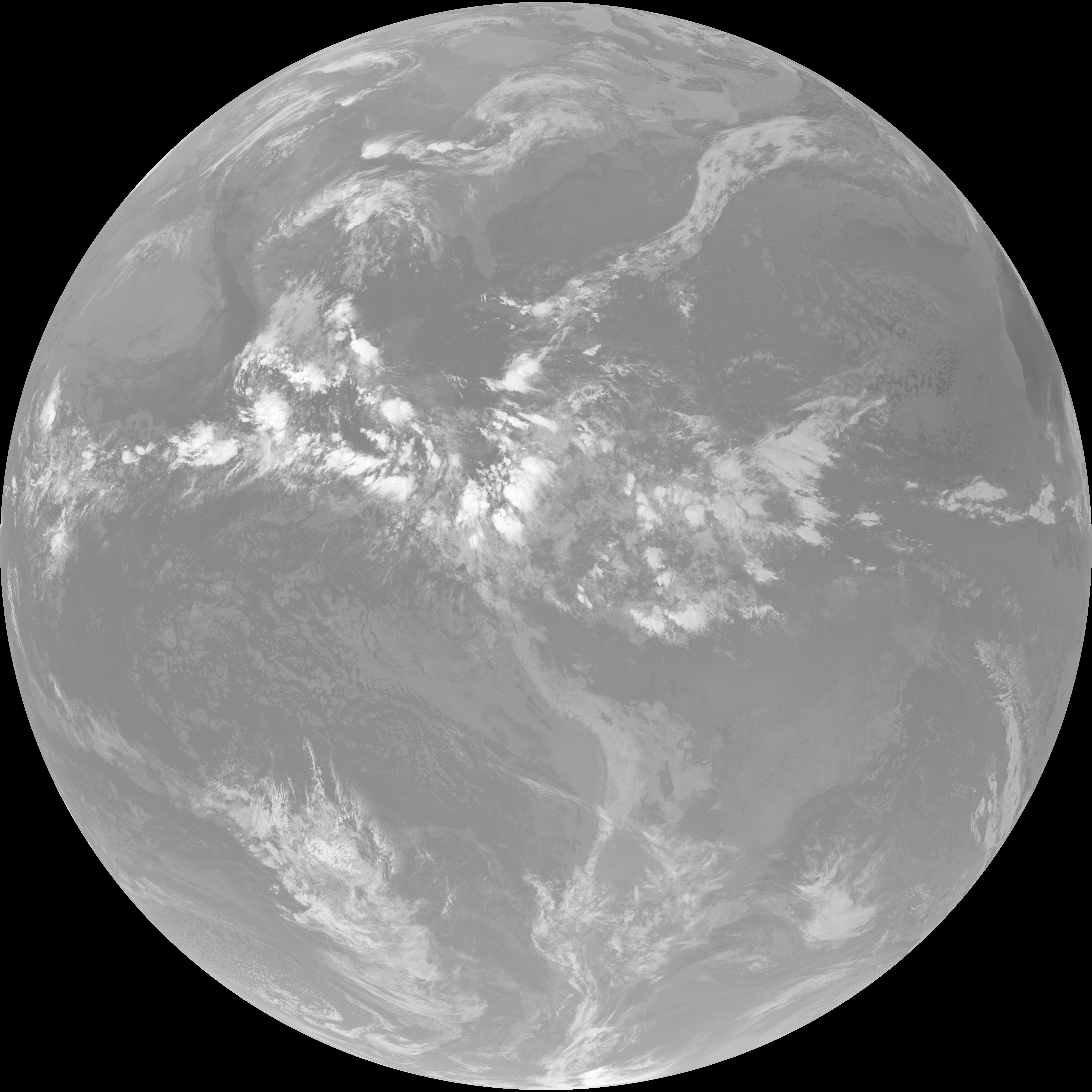
| abi_rgb_Upper-Level_Tropospheric_Water_Vapor_map.png | 7571472 | 2026-Jun-06 10:50 |
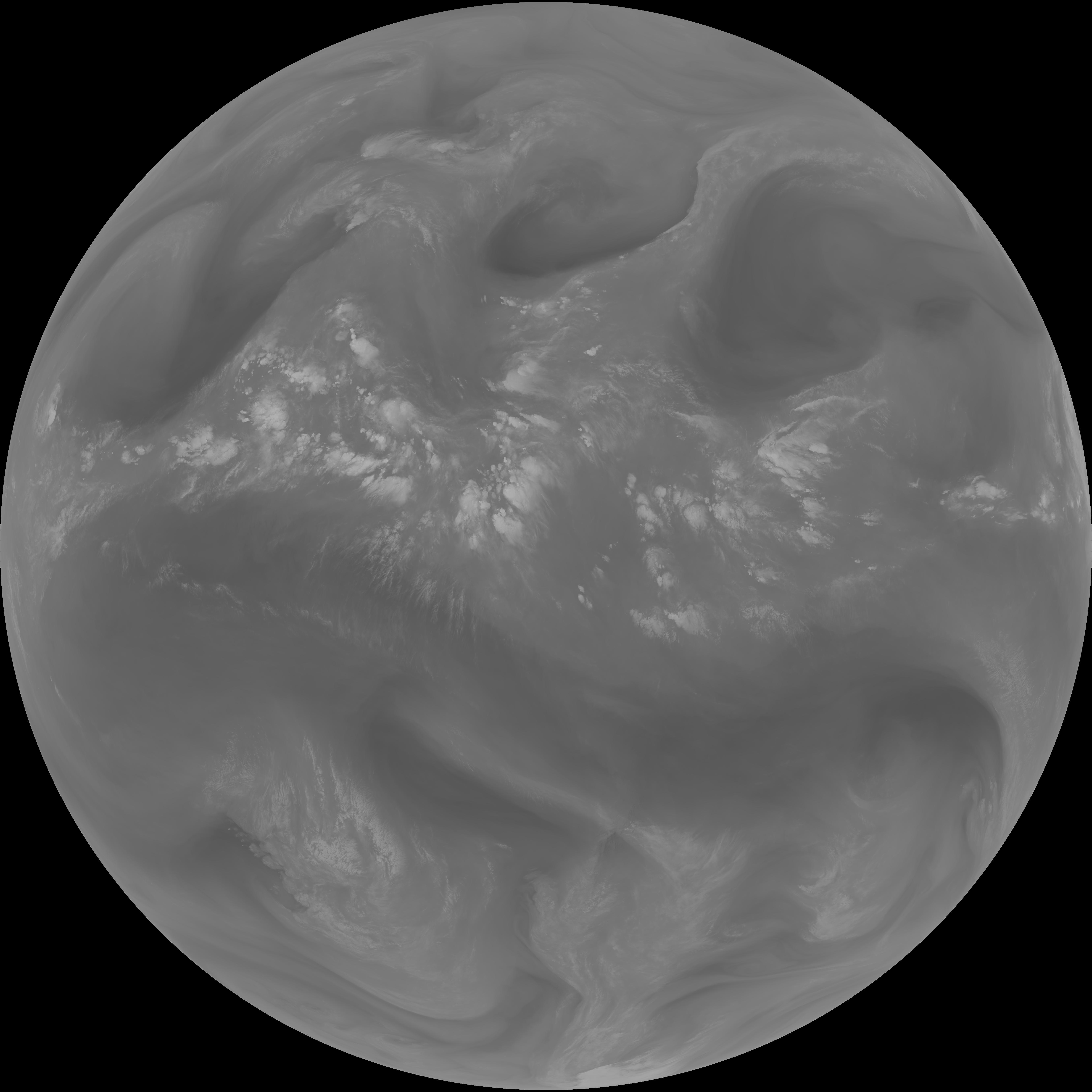
| abi_rgb_Mid-level_Tropospheric_Water_Vapor.png | 8668969 | 2026-Jun-06 10:52 |
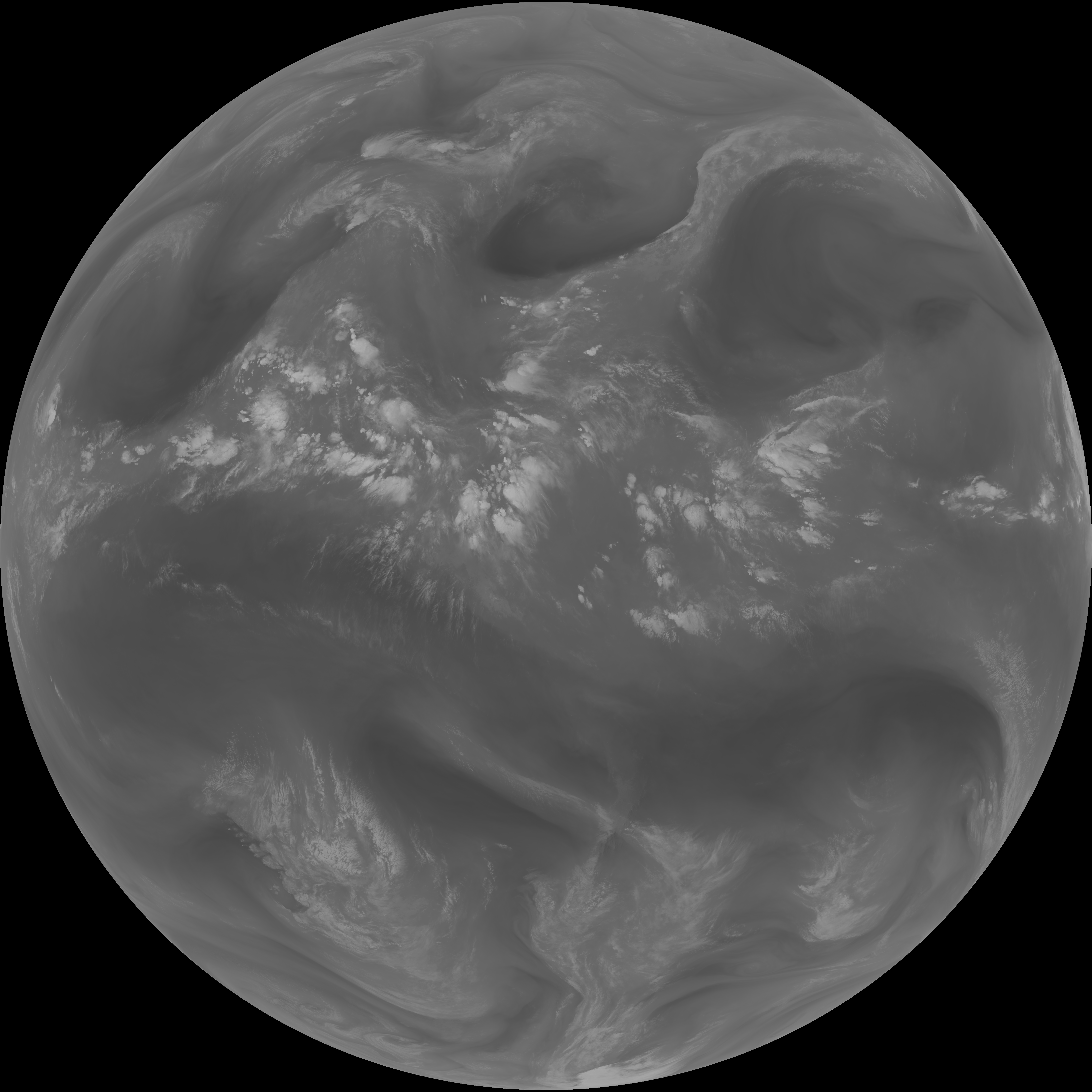
| abi_rgb_Mid-level_Tropospheric_Water_Vapor_map.png | 8770789 | 2026-Jun-06 10:52 |
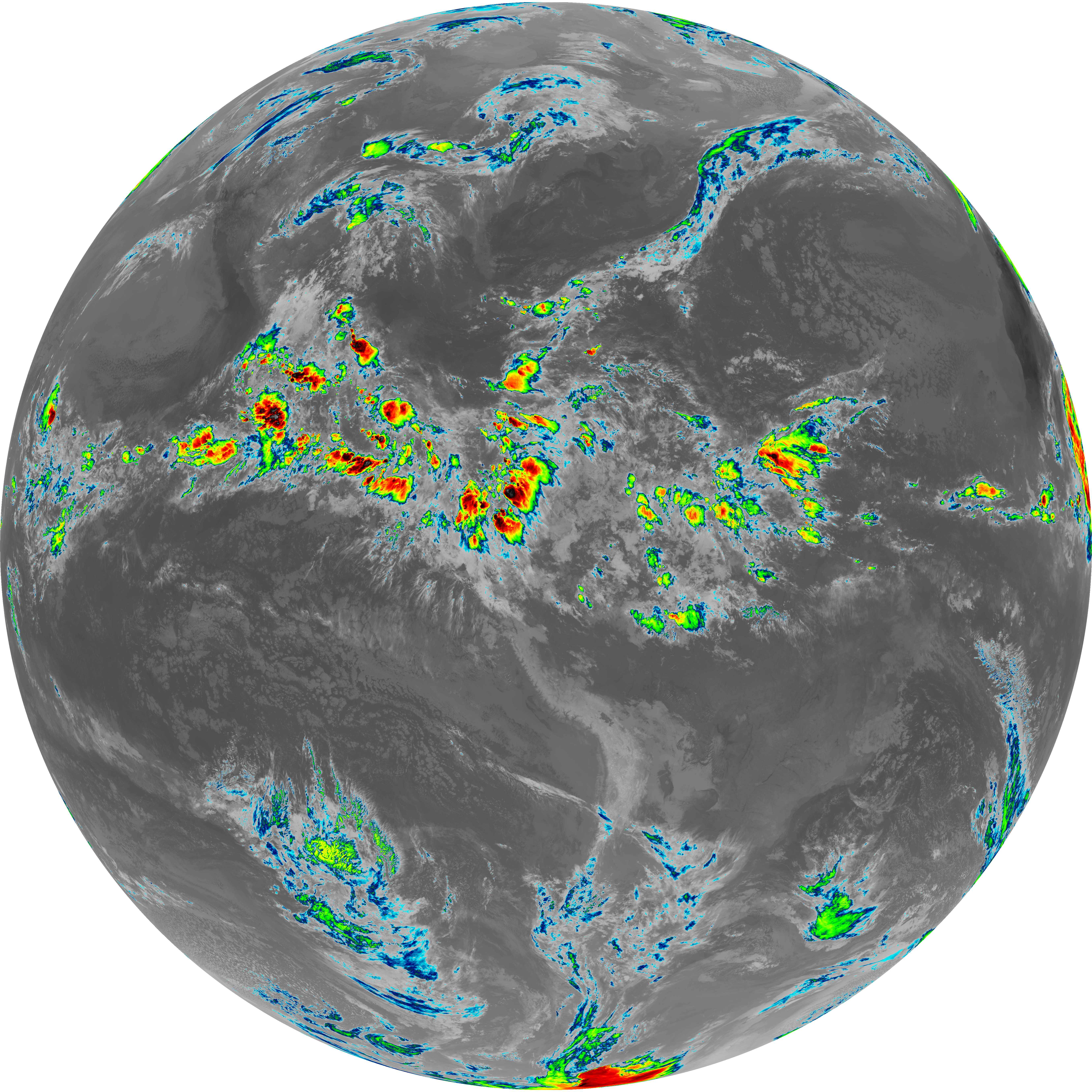
| G19_15_20260606T103021Z.png | 10277134 | 2026-Jun-06 10:58 |
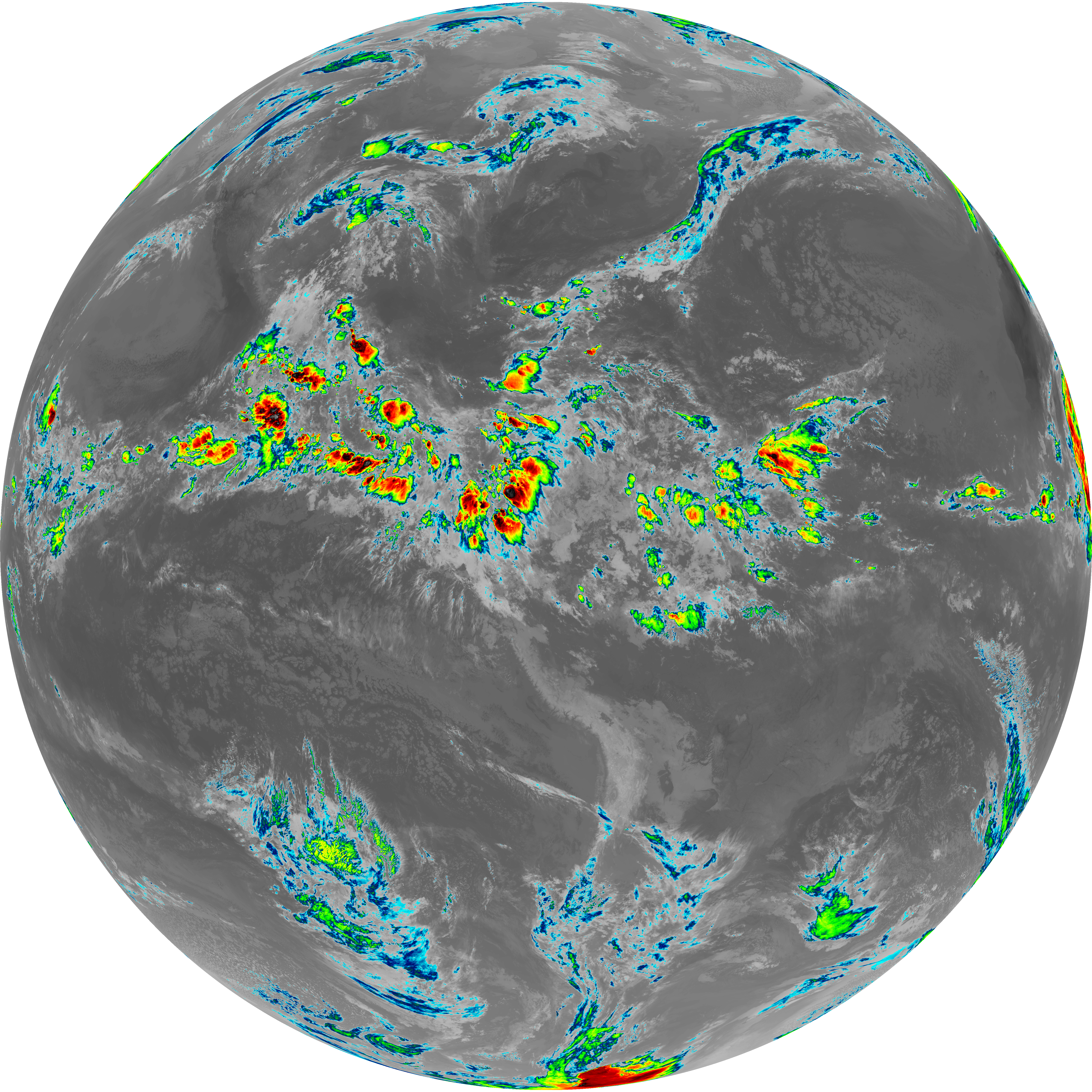
| G19_13_20260606T103021Z.png | 10383180 | 2026-Jun-06 10:46 |
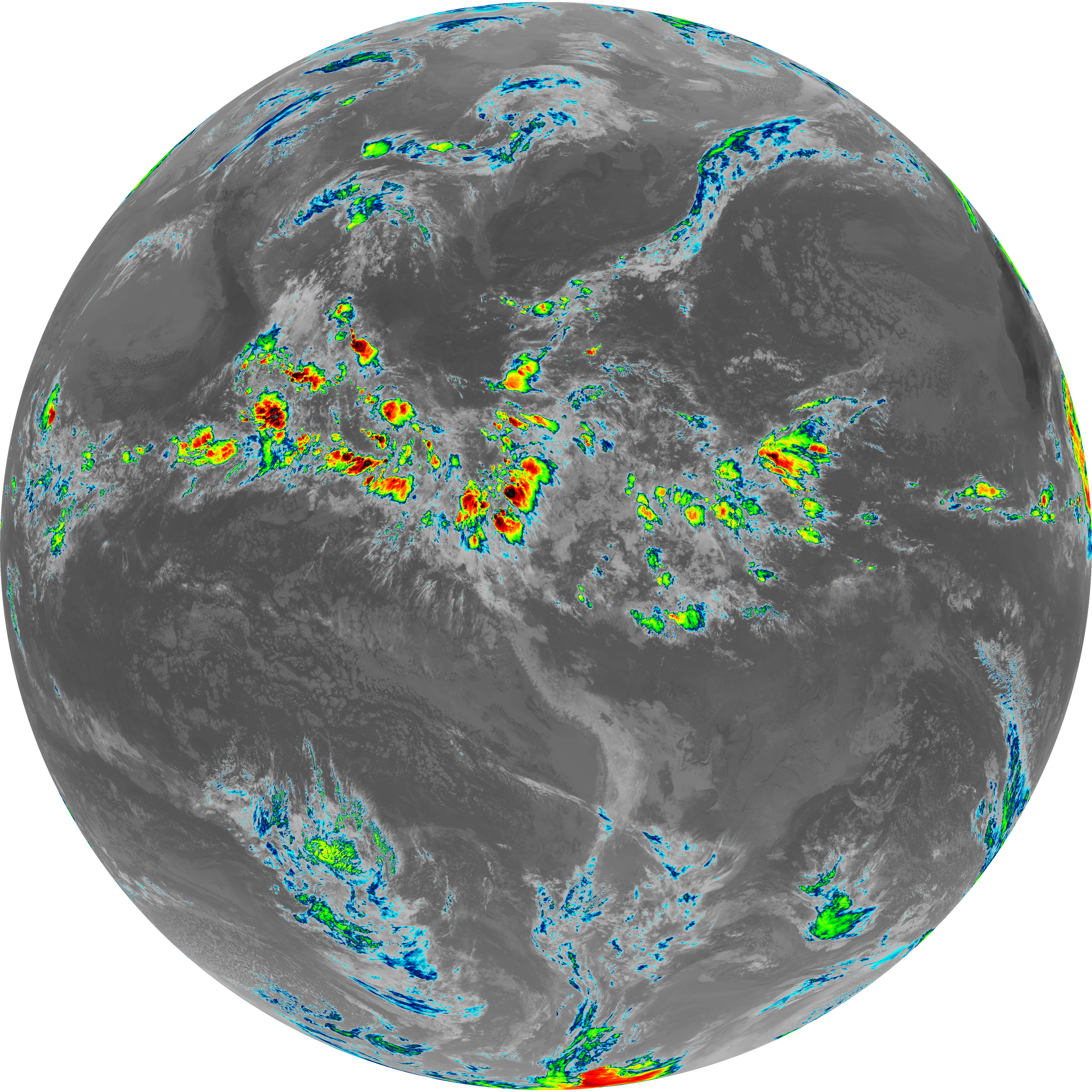
| G19_14_20260606T103021Z.png | 10536822 | 2026-Jun-06 10:55 |
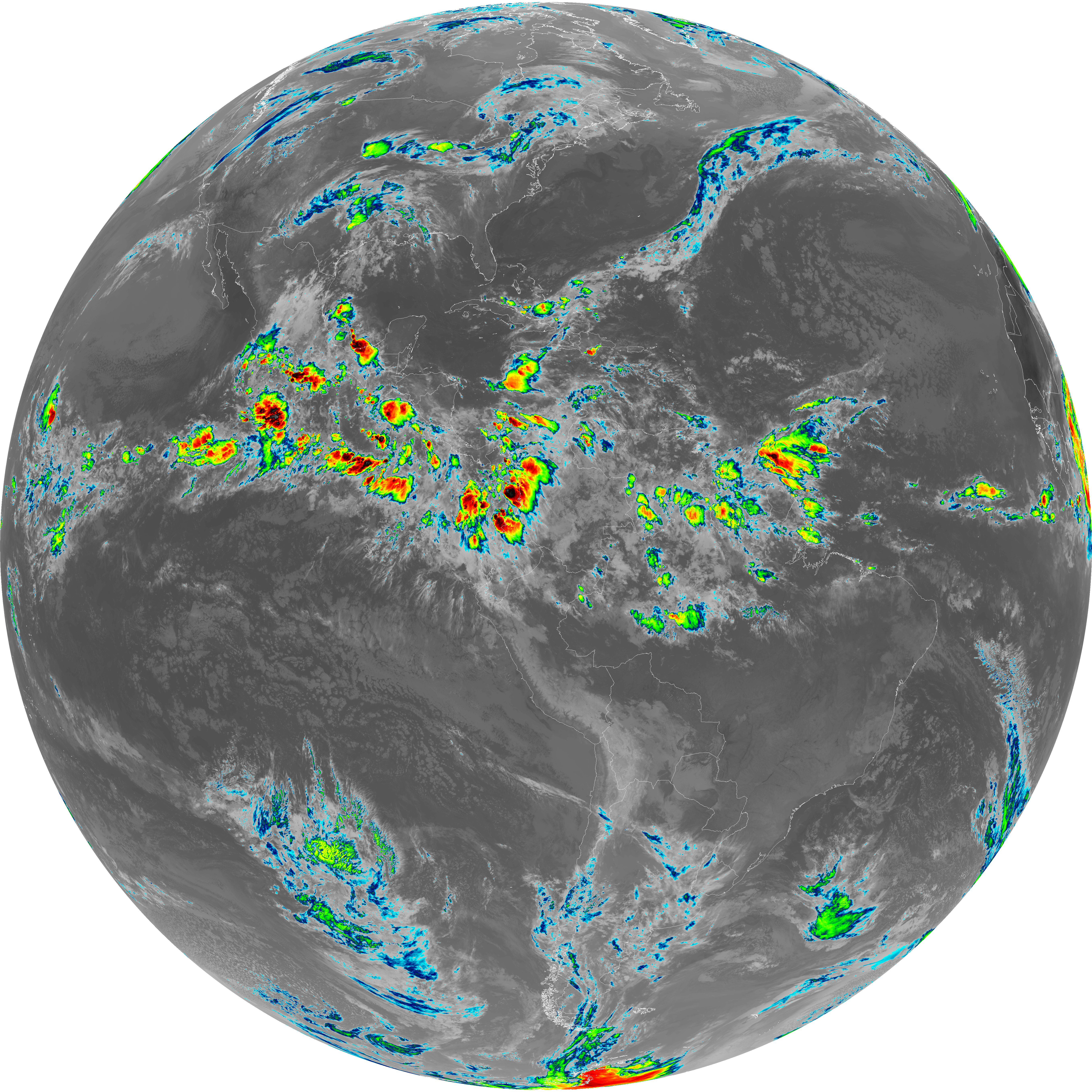
| G19_7_20260606T103021Z.png | 10954391 | 2026-Jun-06 10:43 |
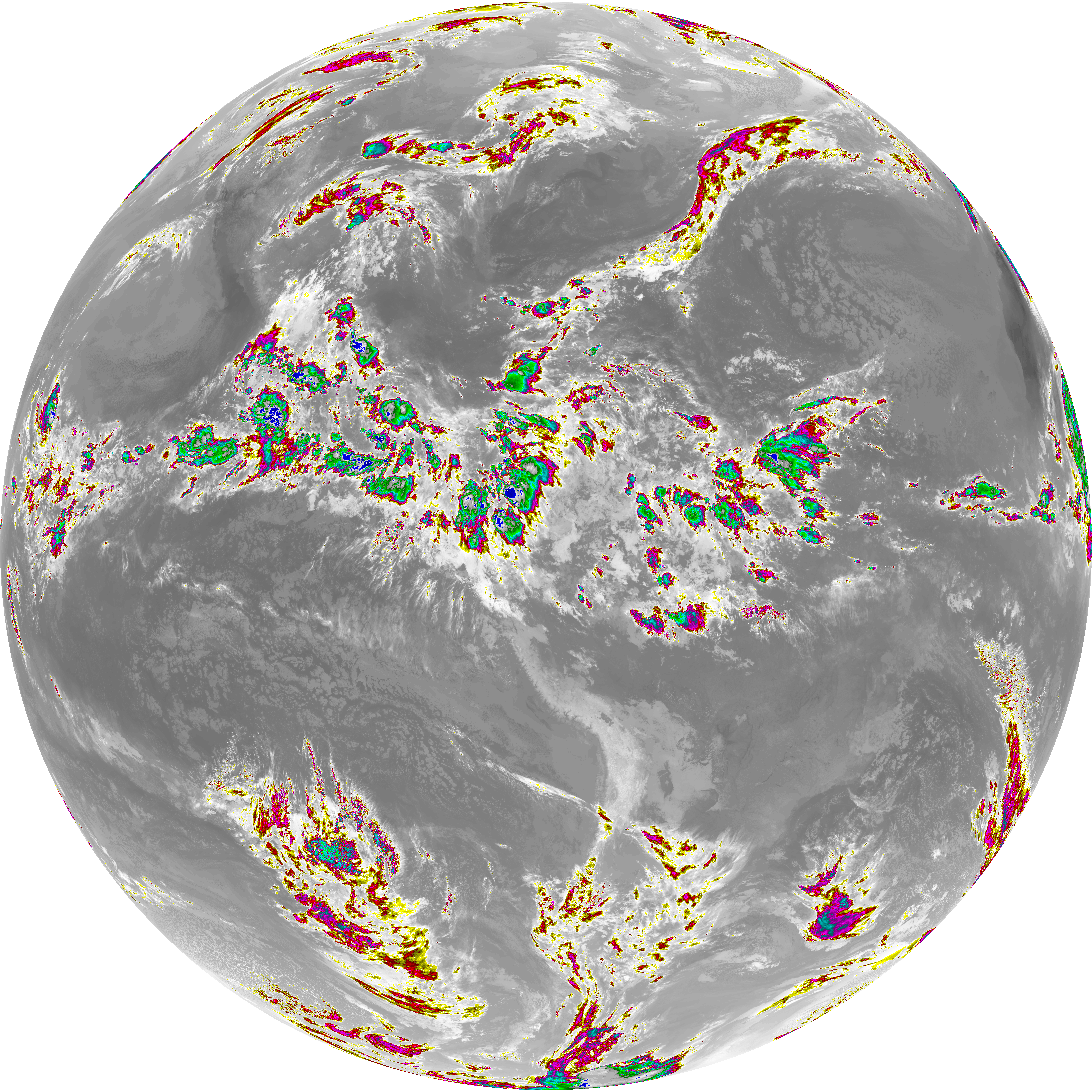
| abi_rgb_Dirty_Longwave_Window_-_CIRA.png | 12083990 | 2026-Jun-06 10:59 |
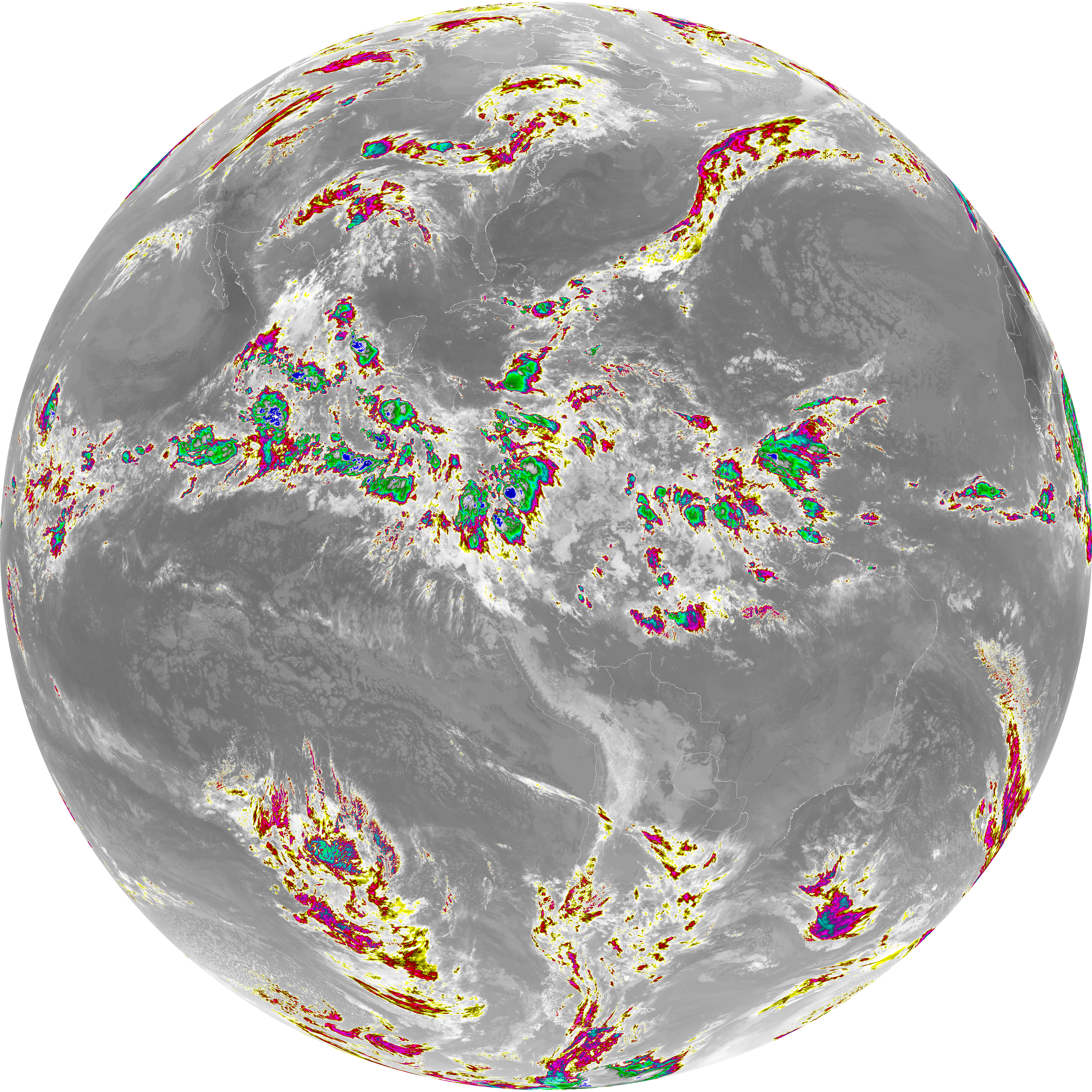
| abi_rgb_Dirty_Longwave_Window_-_CIRA_map.png | 12139644 | 2026-Jun-06 10:59 |
| abi_rgb_Dirty_Longwave_Window.png | 13811377 | 2026-Jun-06 10:58 |
| abi_rgb_Dirty_Longwave_Window_map.png | 13854338 | 2026-Jun-06 10:58 |
| abi_rgb_Clean_Longwave_IR_Window_Band.png | 13946060 | 2026-Jun-06 10:46 |
| abi_rgb_Clean_Longwave_IR_Window_Band_map.png | 13986927 | 2026-Jun-06 10:46 |
| abi_rgb_Infrared_Longwave_Window_Band.png | 14119908 | 2026-Jun-06 10:55 |
| abi_rgb_Infrared_Longwave_Window_Band_map.png | 14160440 | 2026-Jun-06 10:56 |
| abi_rgb_Shortwave_Window_Band.png | 14925042 | 2026-Jun-06 10:43 |
| abi_rgb_Shortwave_Window_Band_map.png | 14980568 | 2026-Jun-06 10:43 |