| Parent directory/ | - | - |
| G19_7_20260606T110021Z.png | 10825669 | 2026-Jun-06 11:13 |
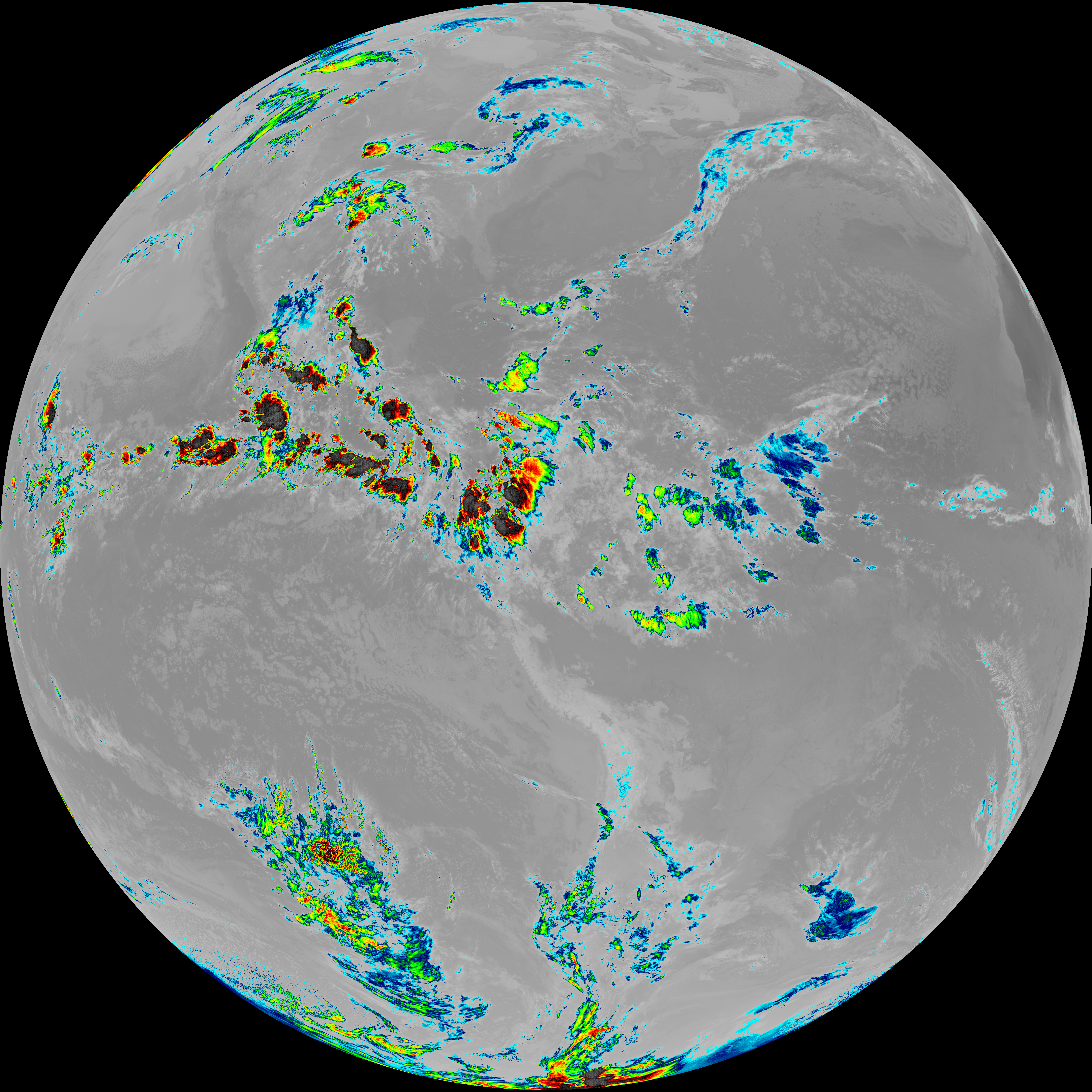
| abi_rgb_Shortwave_Window_Band.png | 14784825 | 2026-Jun-06 11:13 |
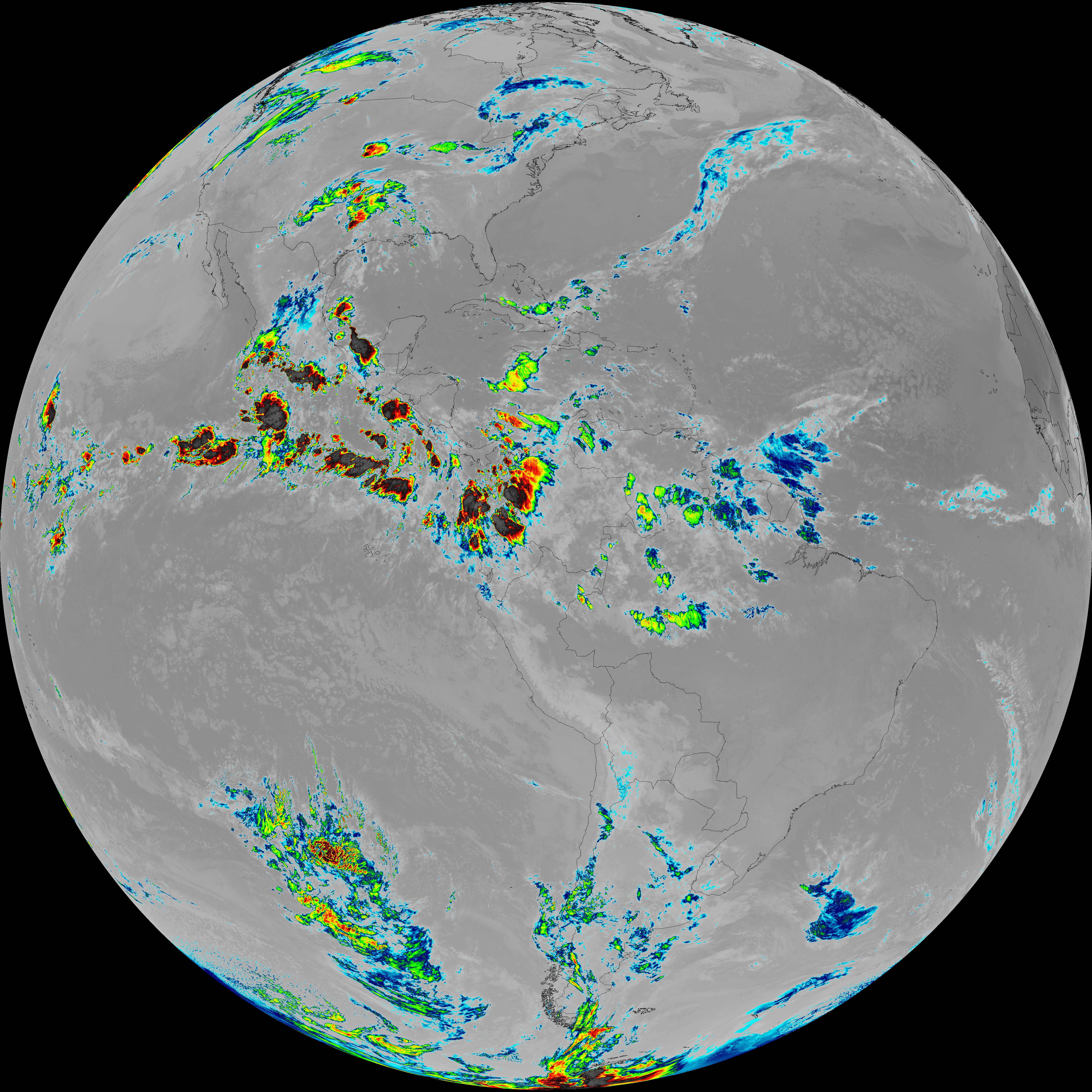
| abi_rgb_Shortwave_Window_Band_map.png | 14842290 | 2026-Jun-06 11:13 |
| G19_13_20260606T110021Z.png | 10371738 | 2026-Jun-06 11:16 |
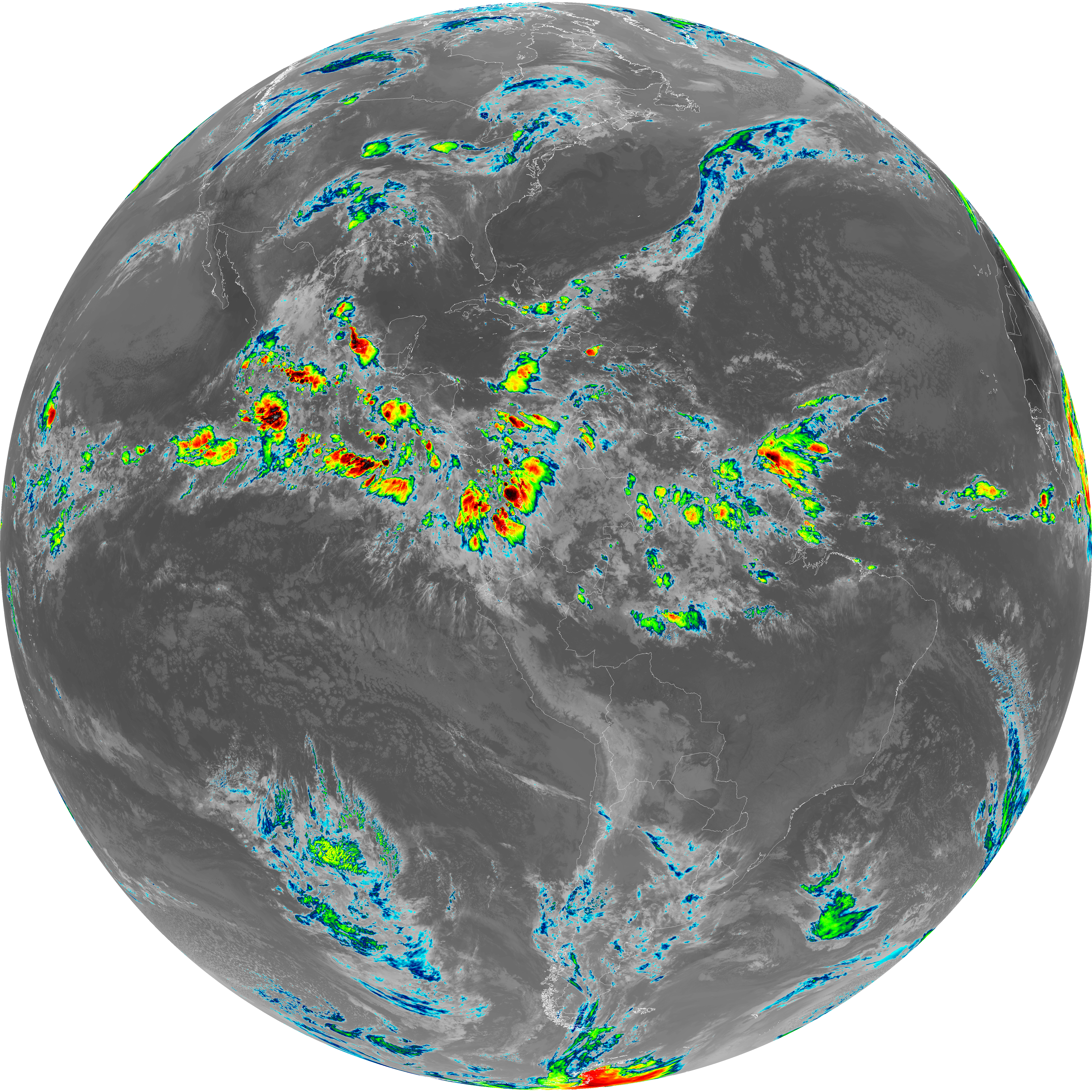
| abi_rgb_Clean_Longwave_IR_Window_Band.png | 13931506 | 2026-Jun-06 11:16 |
| abi_rgb_Clean_Longwave_IR_Window_Band_map.png | 13972375 | 2026-Jun-06 11:16 |
| G19_2_20260606T110021Z.png | 7254105 | 2026-Jun-06 11:19 |
| G19_8_20260606T110021Z.png | 5605027 | 2026-Jun-06 11:20 |
| abi_rgb_Upper-Level_Tropospheric_Water_Vapor.png | 7477889 | 2026-Jun-06 11:21 |
| abi_rgb_Upper-Level_Tropospheric_Water_Vapor_map.png | 7589913 | 2026-Jun-06 11:21 |
| G19_9_20260606T110021Z.png | 6472183 | 2026-Jun-06 11:23 |
| abi_rgb_Mid-level_Tropospheric_Water_Vapor.png | 8684244 | 2026-Jun-06 11:23 |
| abi_rgb_Mid-level_Tropospheric_Water_Vapor_map.png | 8785462 | 2026-Jun-06 11:23 |
| G19_14_20260606T110021Z.png | 10518575 | 2026-Jun-06 11:26 |
| abi_rgb_Infrared_Longwave_Window_Band.png | 14099163 | 2026-Jun-06 11:26 |
| abi_rgb_Infrared_Longwave_Window_Band_map.png | 14139048 | 2026-Jun-06 11:26 |
| G19_15_20260606T110021Z.png | 10261107 | 2026-Jun-06 11:28 |
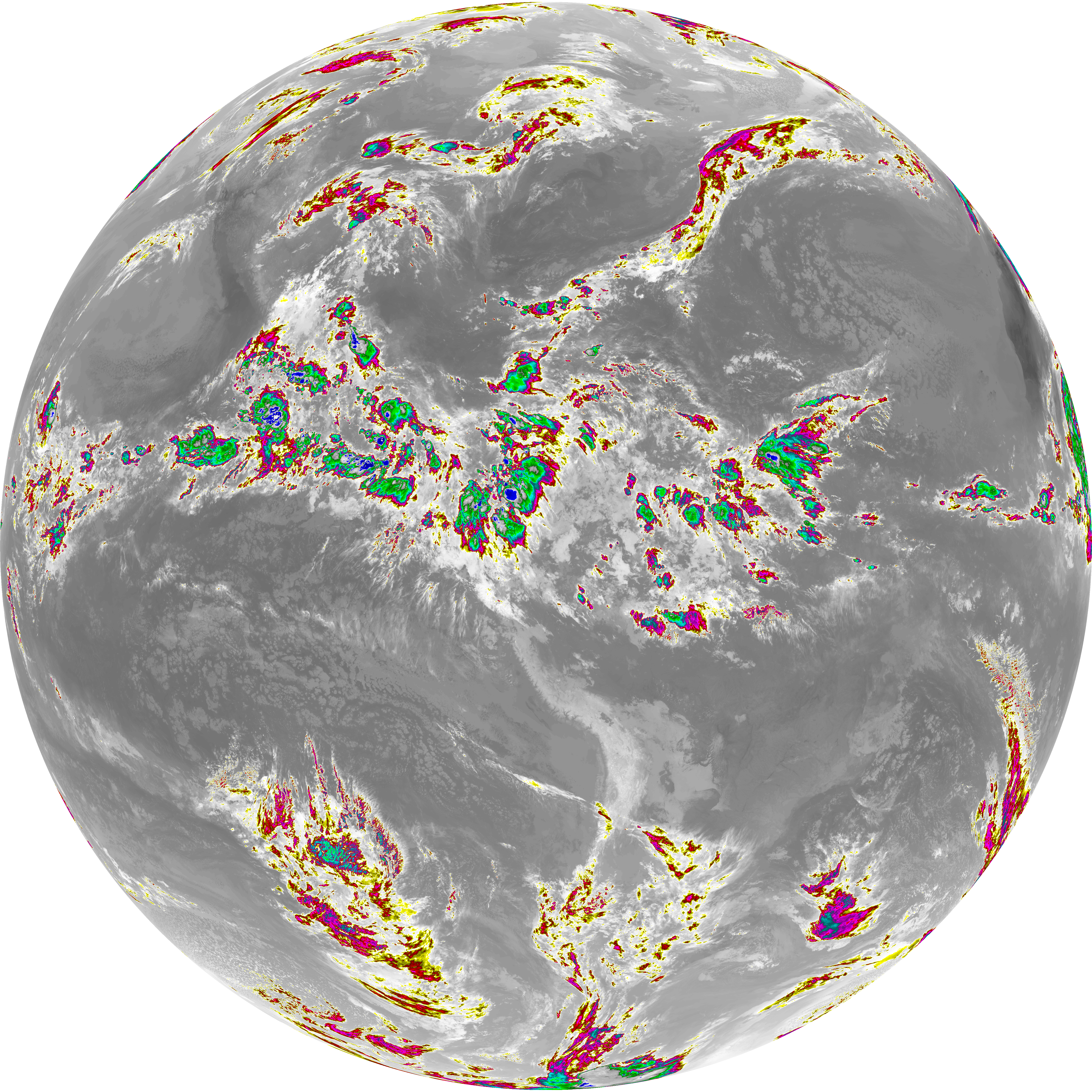
| abi_rgb_Dirty_Longwave_Window.png | 13793975 | 2026-Jun-06 11:29 |
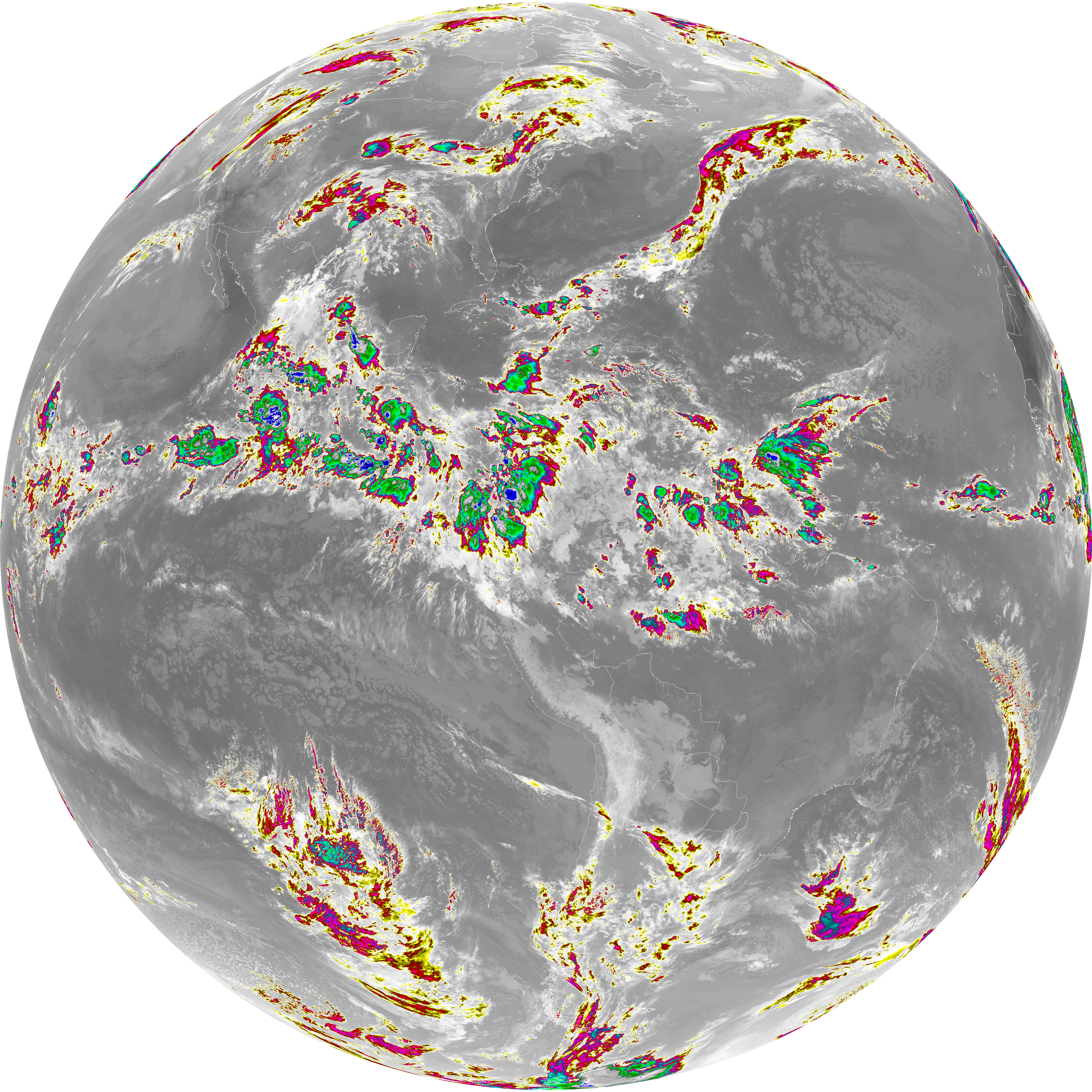
| abi_rgb_Dirty_Longwave_Window_map.png | 13837356 | 2026-Jun-06 11:29 |
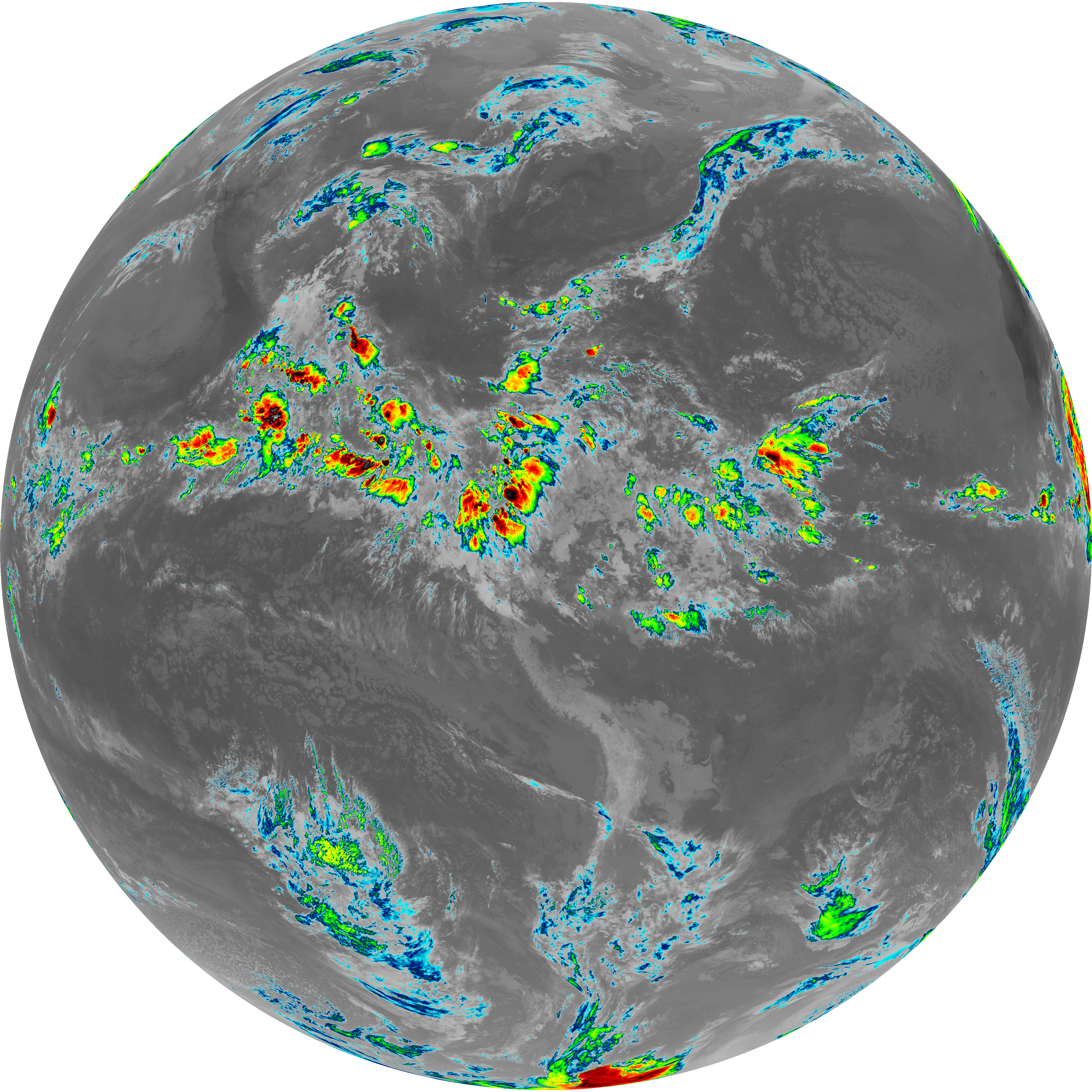
| abi_rgb_Dirty_Longwave_Window_-_CIRA.png | 12084615 | 2026-Jun-06 11:29 |
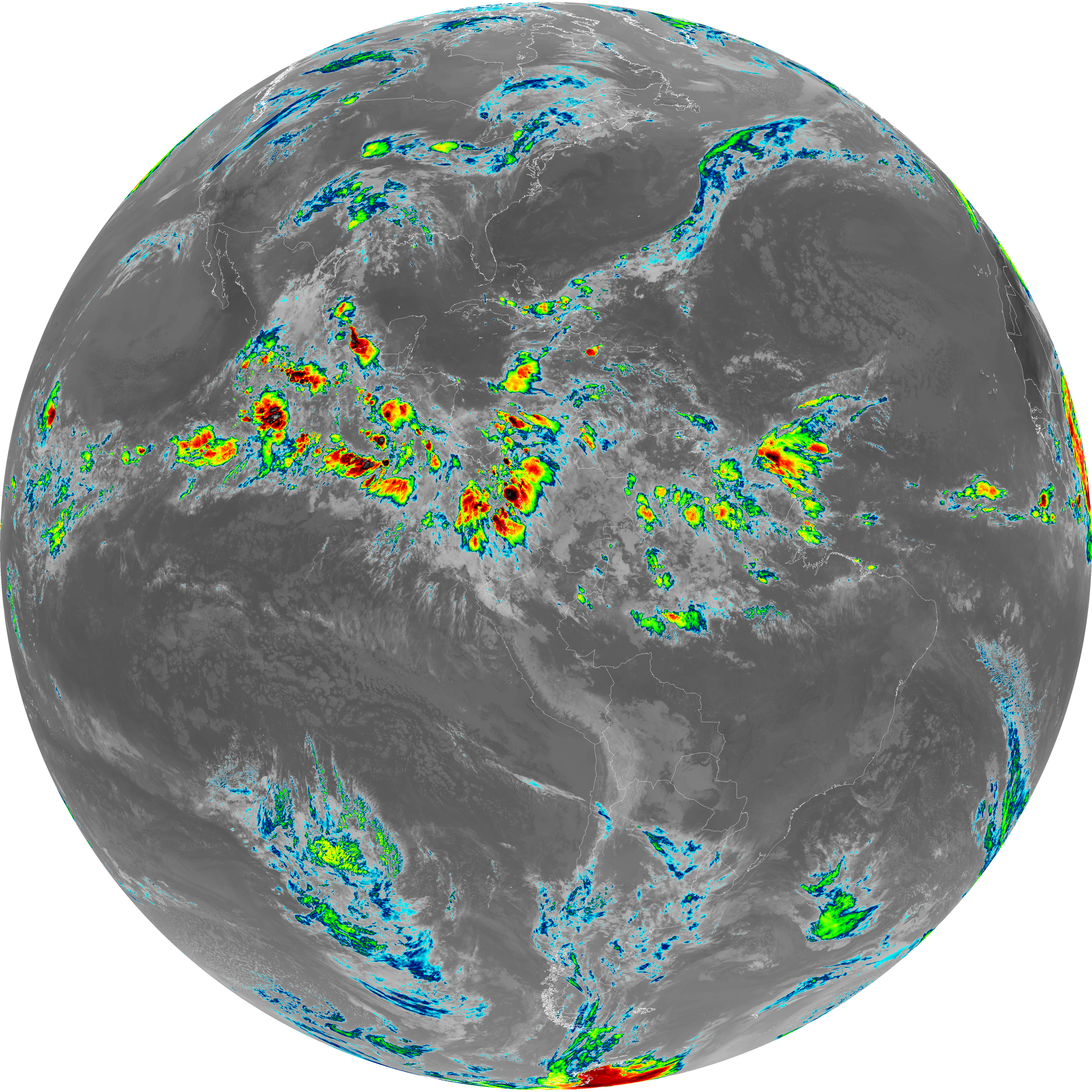
| abi_rgb_Dirty_Longwave_Window_-_CIRA_map.png | 12140102 | 2026-Jun-06 11:29 |