| Parent directory/ | - | - |
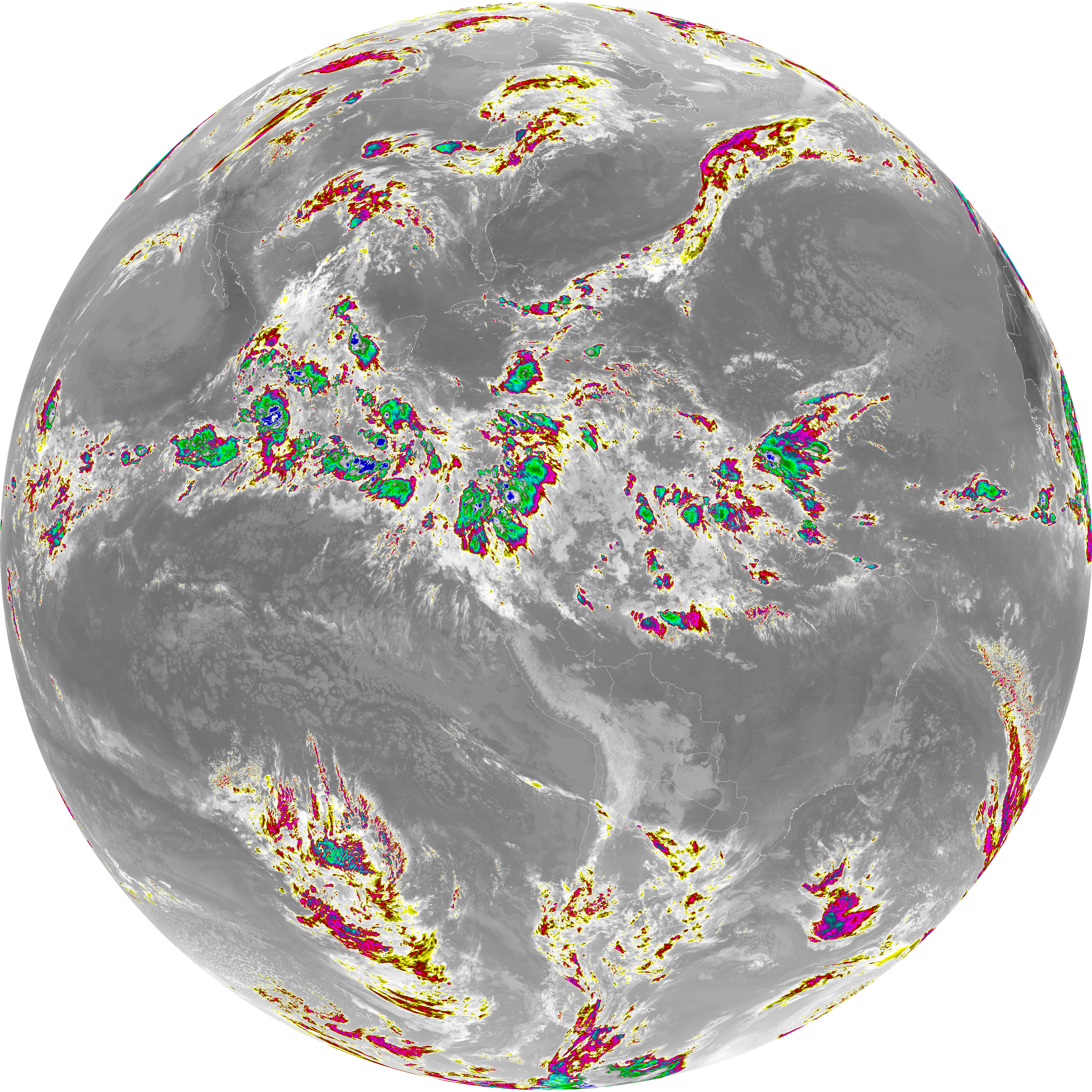
| abi_rgb_Dirty_Longwave_Window_-_CIRA_map.png | 12155147 | 2026-Jun-06 11:59 |
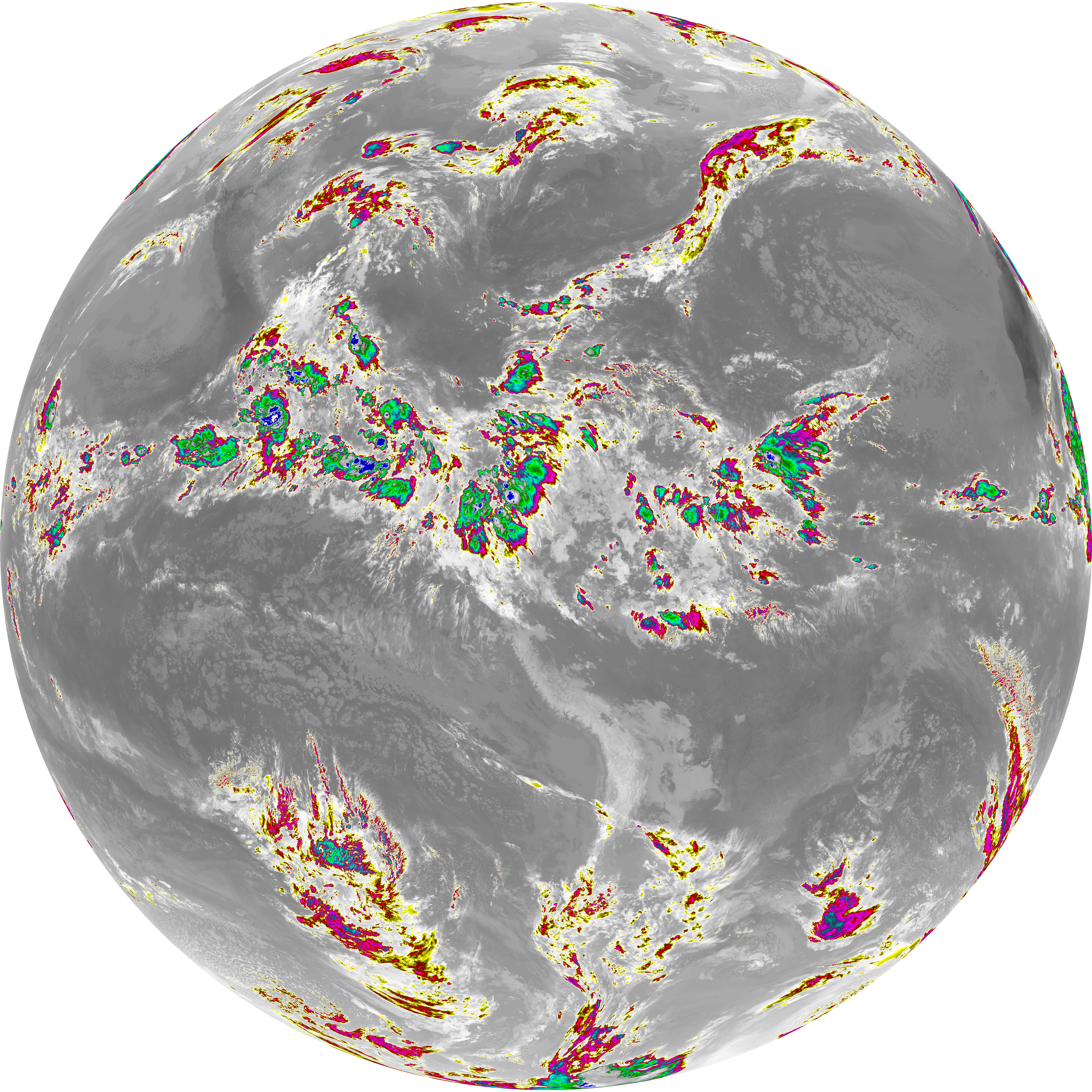
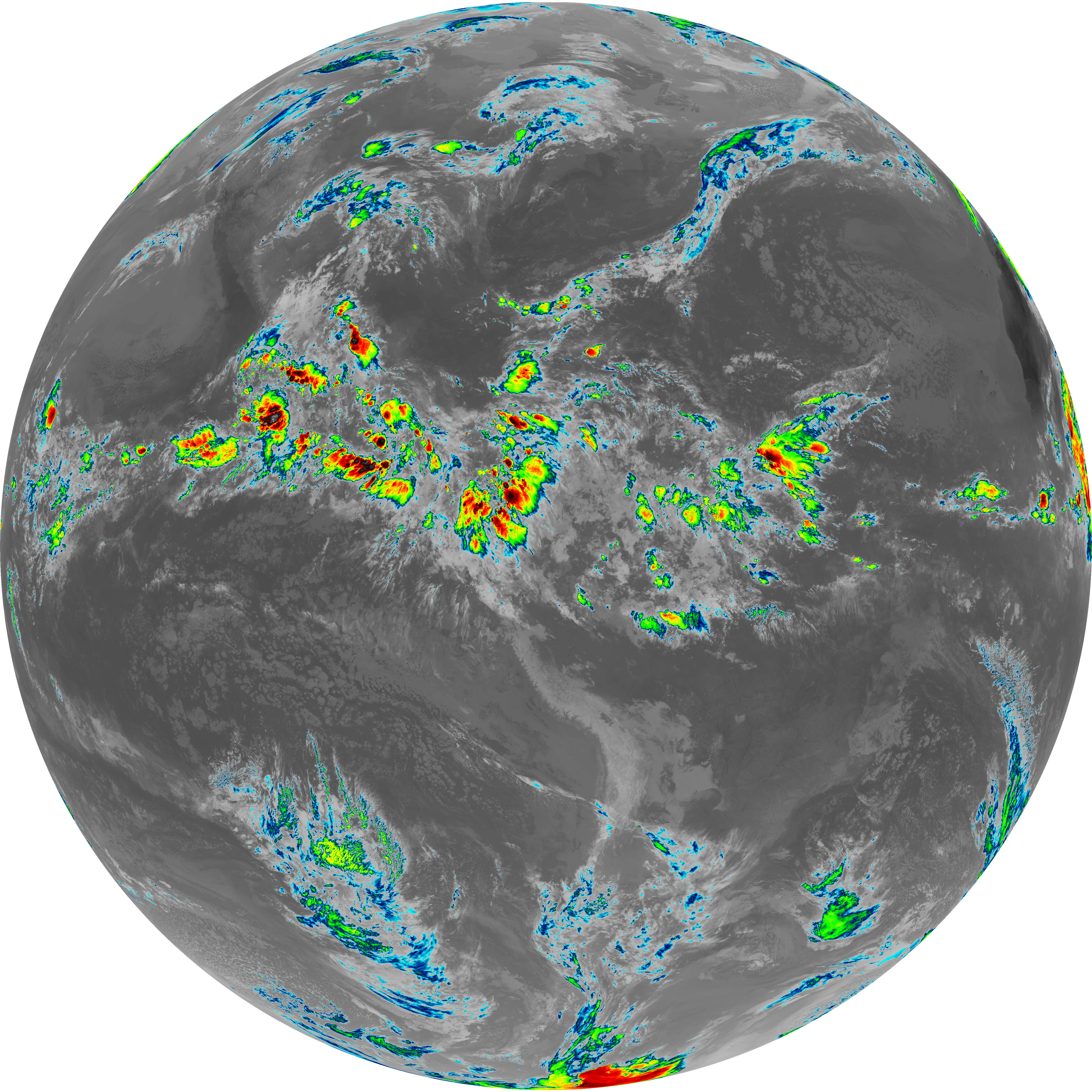
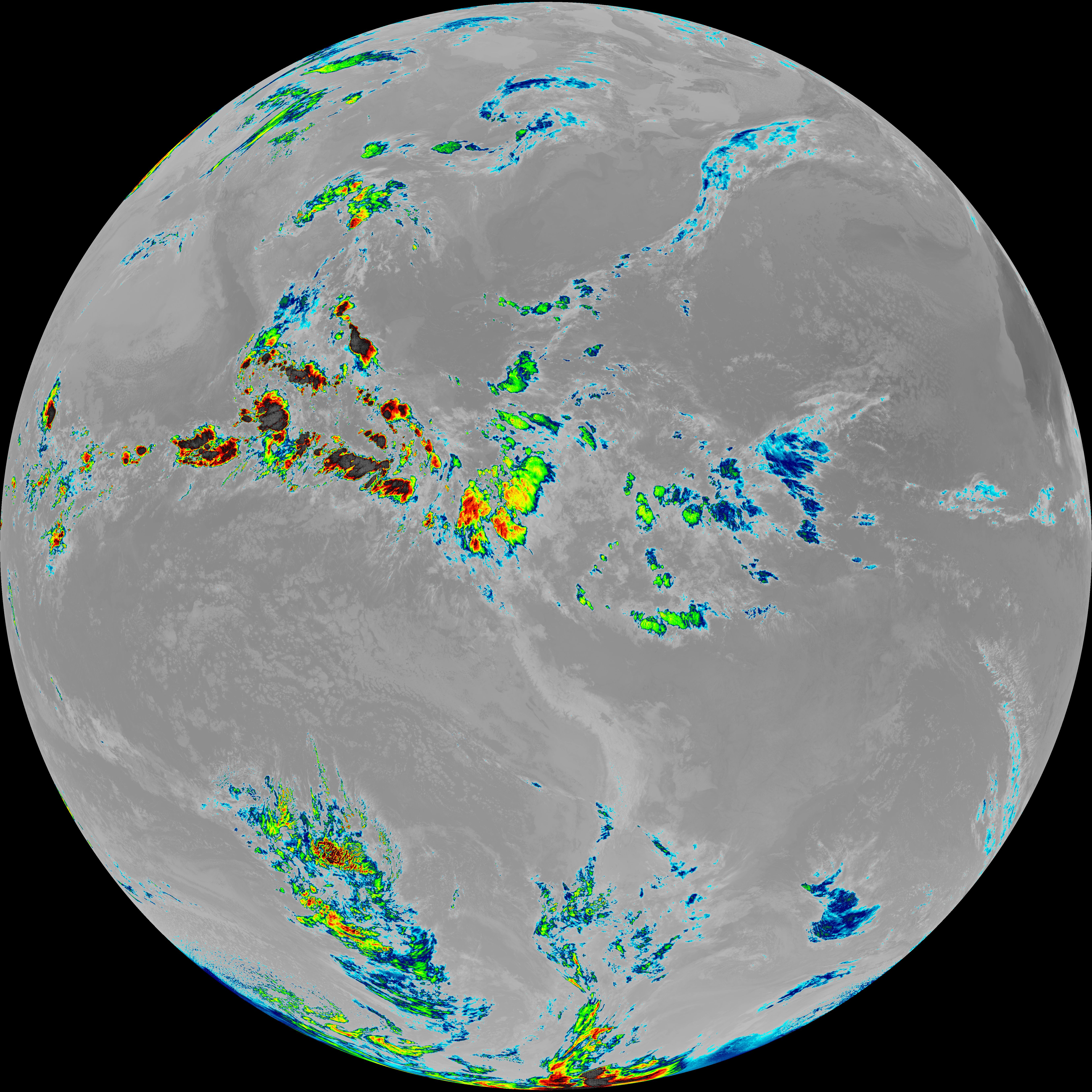
| abi_rgb_Dirty_Longwave_Window_-_CIRA.png | 12098760 | 2026-Jun-06 11:59 |
| abi_rgb_Dirty_Longwave_Window_map.png | 13832414 | 2026-Jun-06 11:59 |
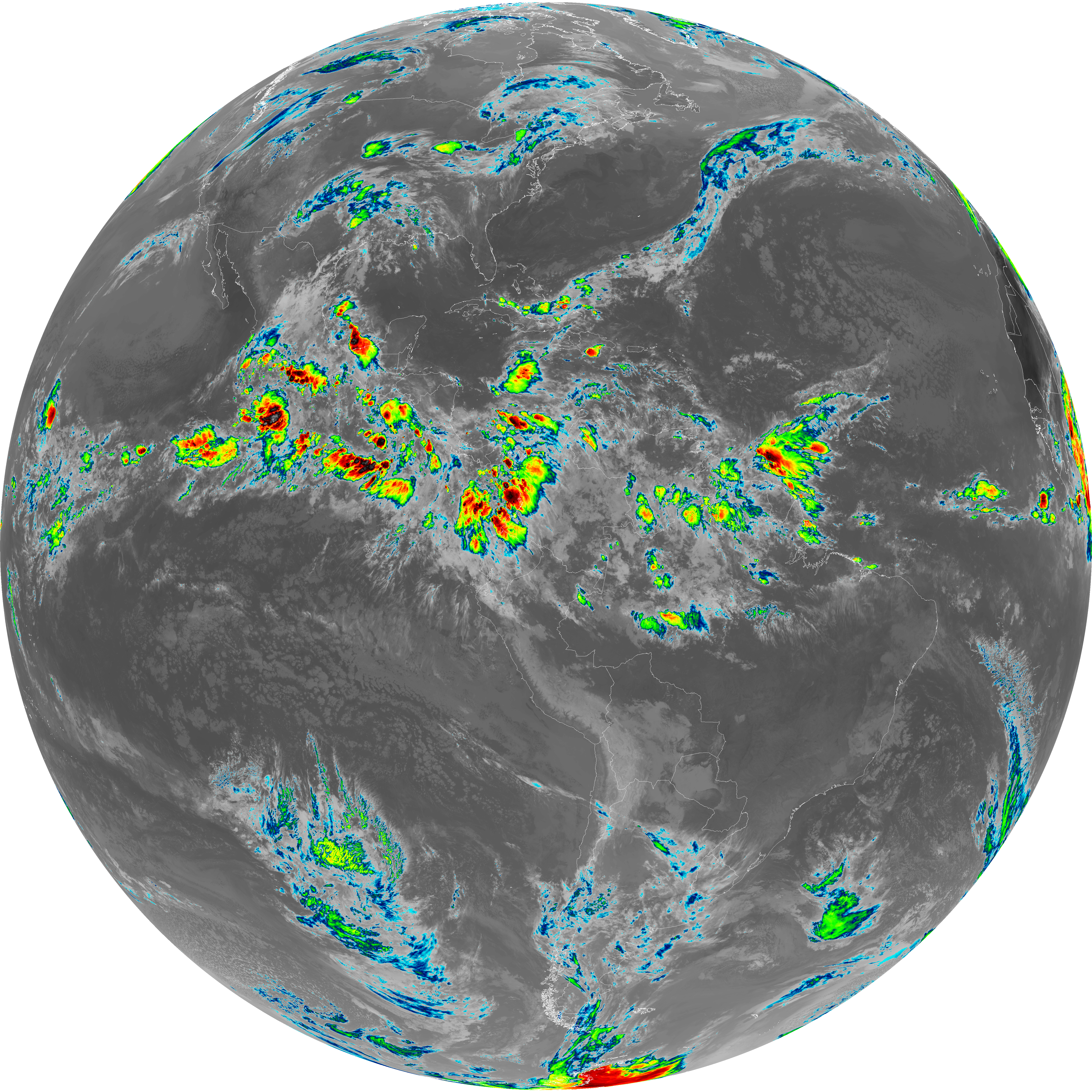
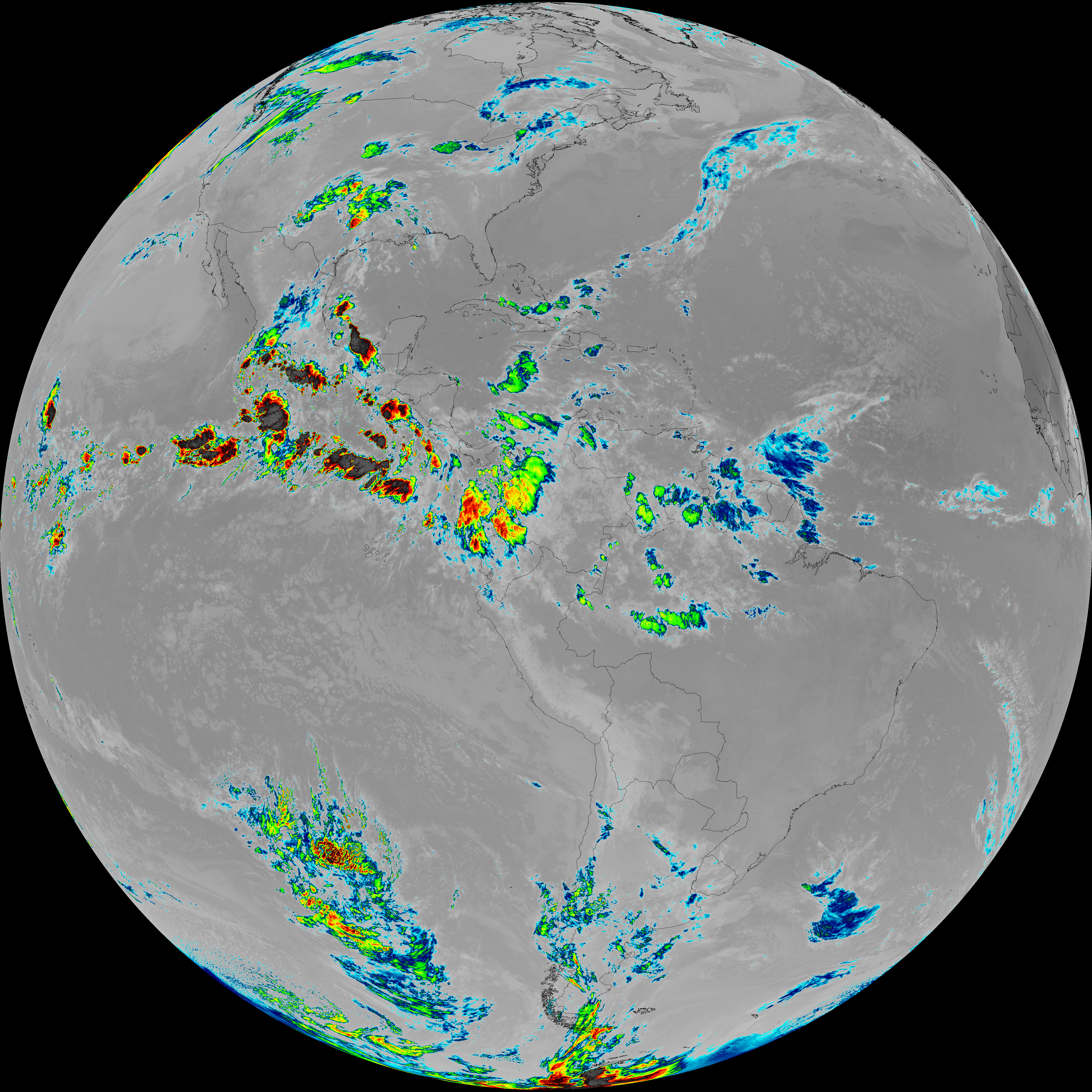
| abi_rgb_Dirty_Longwave_Window.png | 13789333 | 2026-Jun-06 11:59 |
| G19_15_20260606T113021Z.png | 10259104 | 2026-Jun-06 11:59 |
| abi_rgb_Infrared_Longwave_Window_Band_map.png | 14143702 | 2026-Jun-06 11:56 |
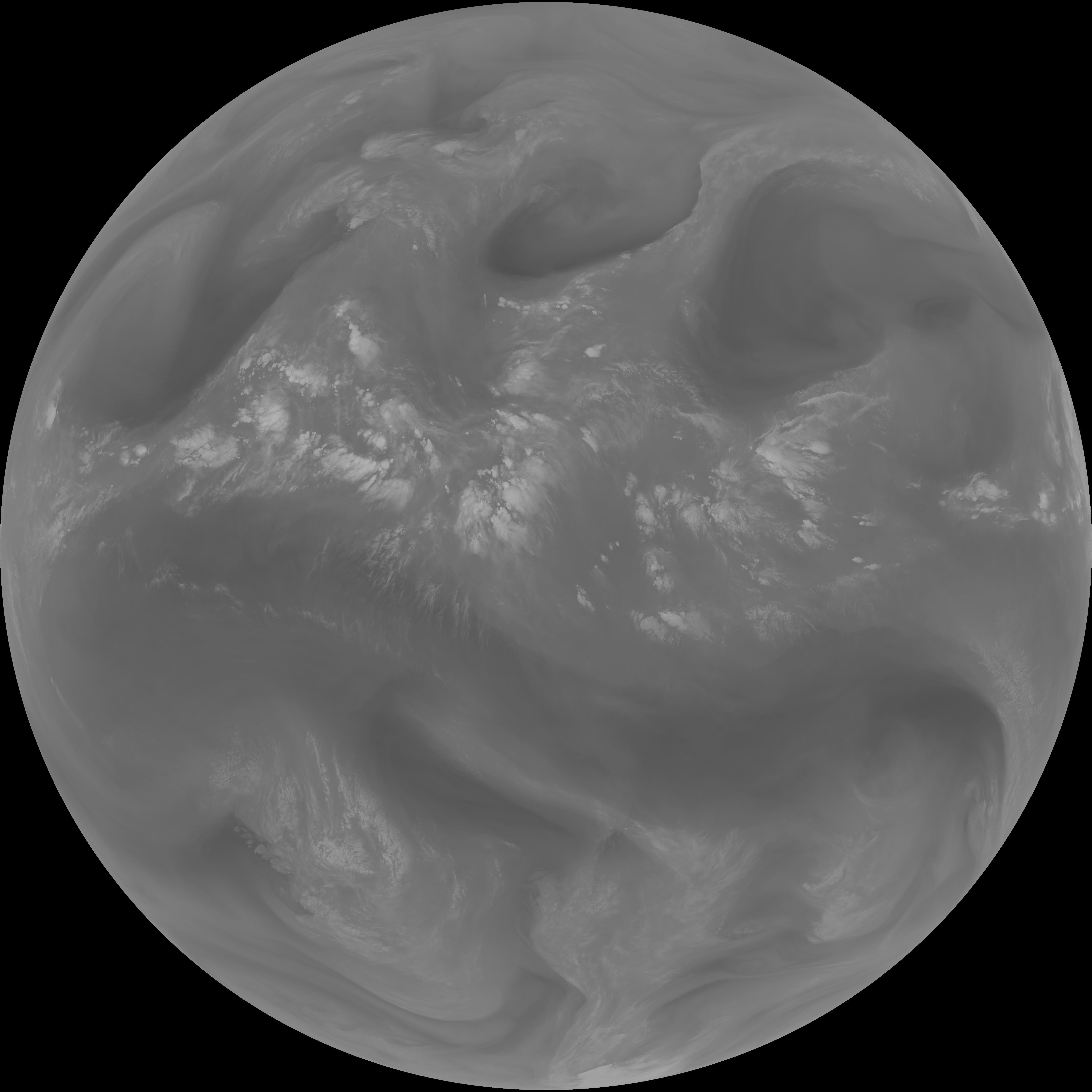
| abi_rgb_Infrared_Longwave_Window_Band.png | 14103861 | 2026-Jun-06 11:56 |
| G19_14_20260606T113021Z.png | 10523148 | 2026-Jun-06 11:56 |
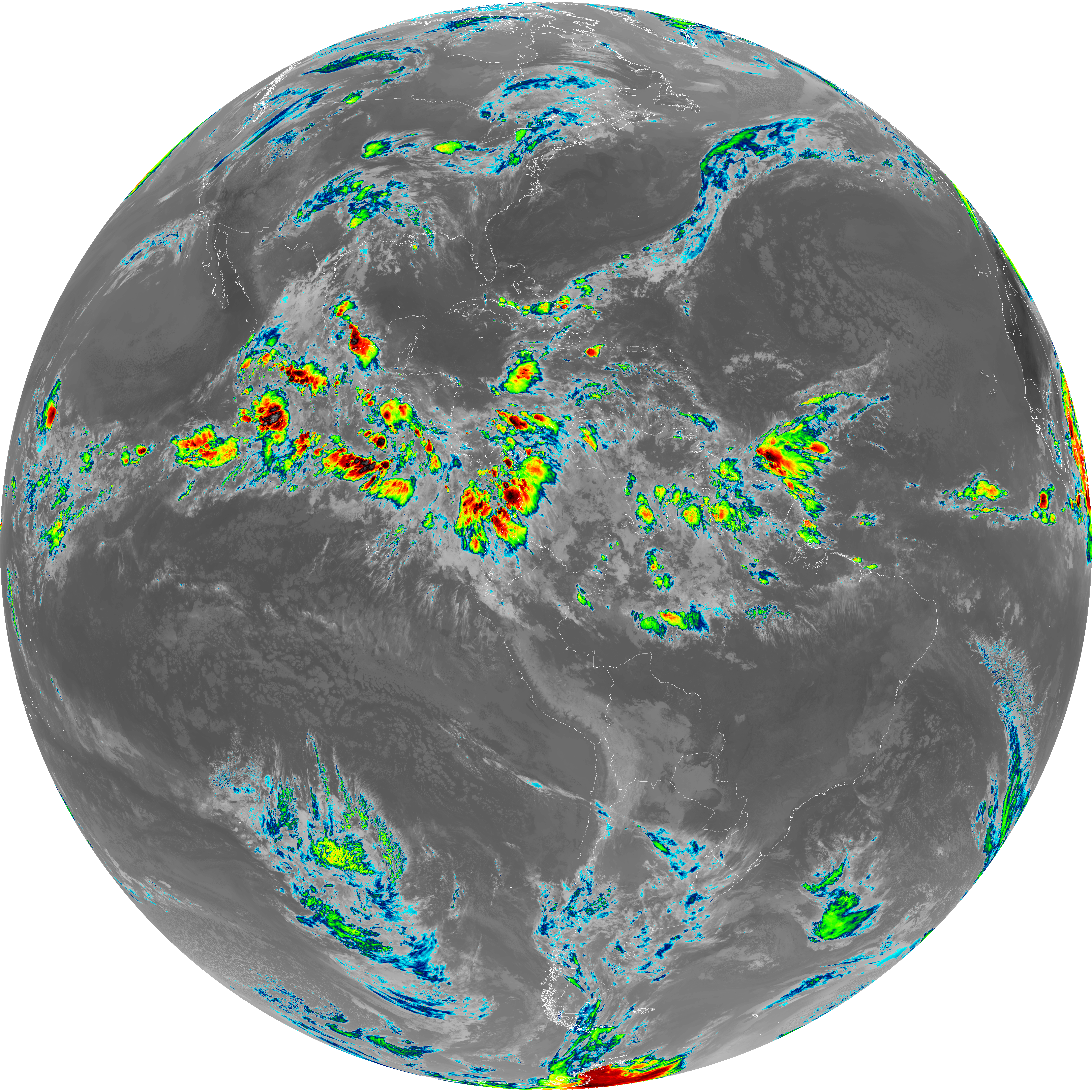
| abi_rgb_Mid-level_Tropospheric_Water_Vapor_map.png | 8809342 | 2026-Jun-06 11:53 |
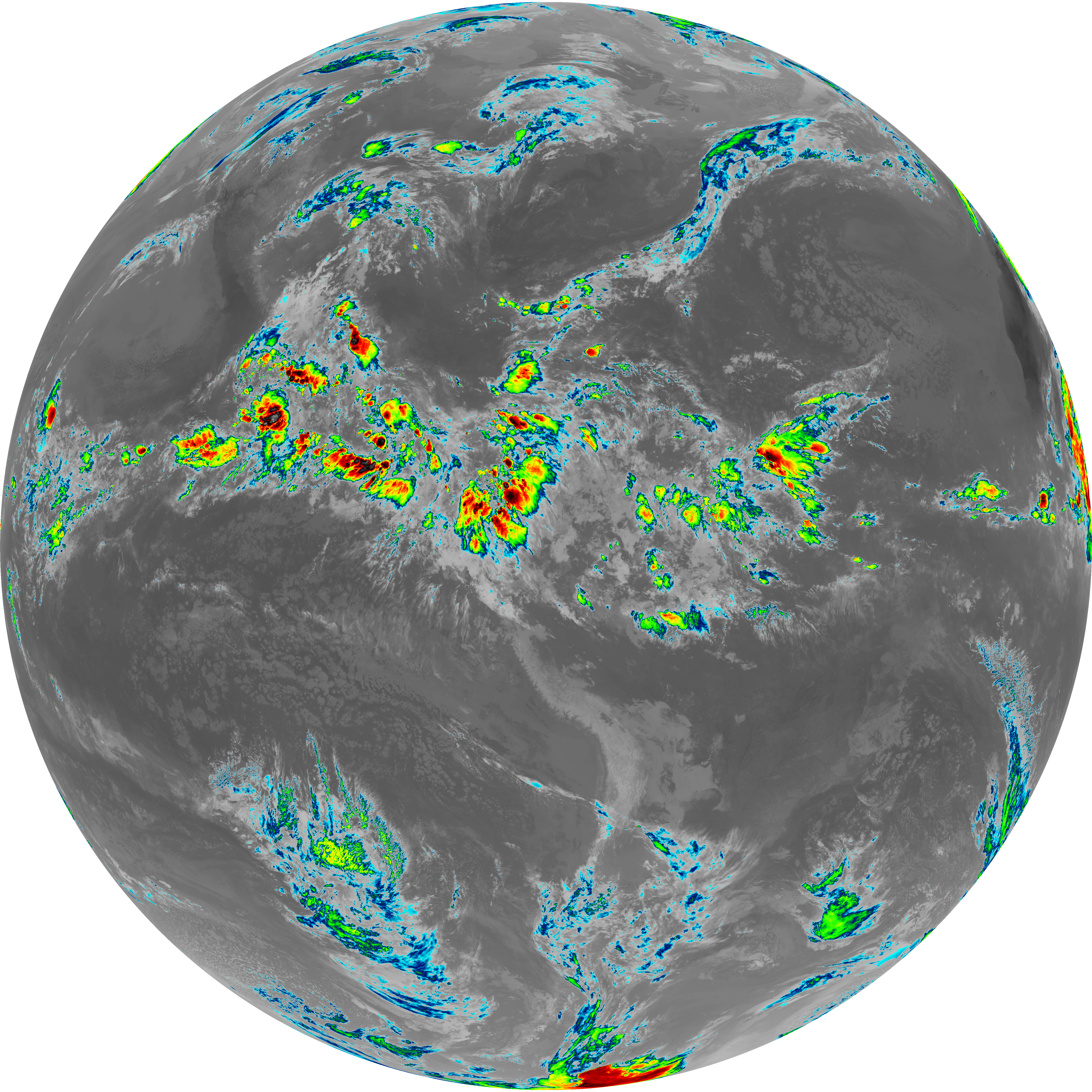
| abi_rgb_Mid-level_Tropospheric_Water_Vapor.png | 8708022 | 2026-Jun-06 11:53 |
| G19_9_20260606T113021Z.png | 6490303 | 2026-Jun-06 11:53 |
| abi_rgb_Upper-Level_Tropospheric_Water_Vapor_map.png | 7606699 | 2026-Jun-06 11:51 |
| abi_rgb_Upper-Level_Tropospheric_Water_Vapor.png | 7494650 | 2026-Jun-06 11:51 |
| G19_8_20260606T113021Z.png | 5617505 | 2026-Jun-06 11:51 |
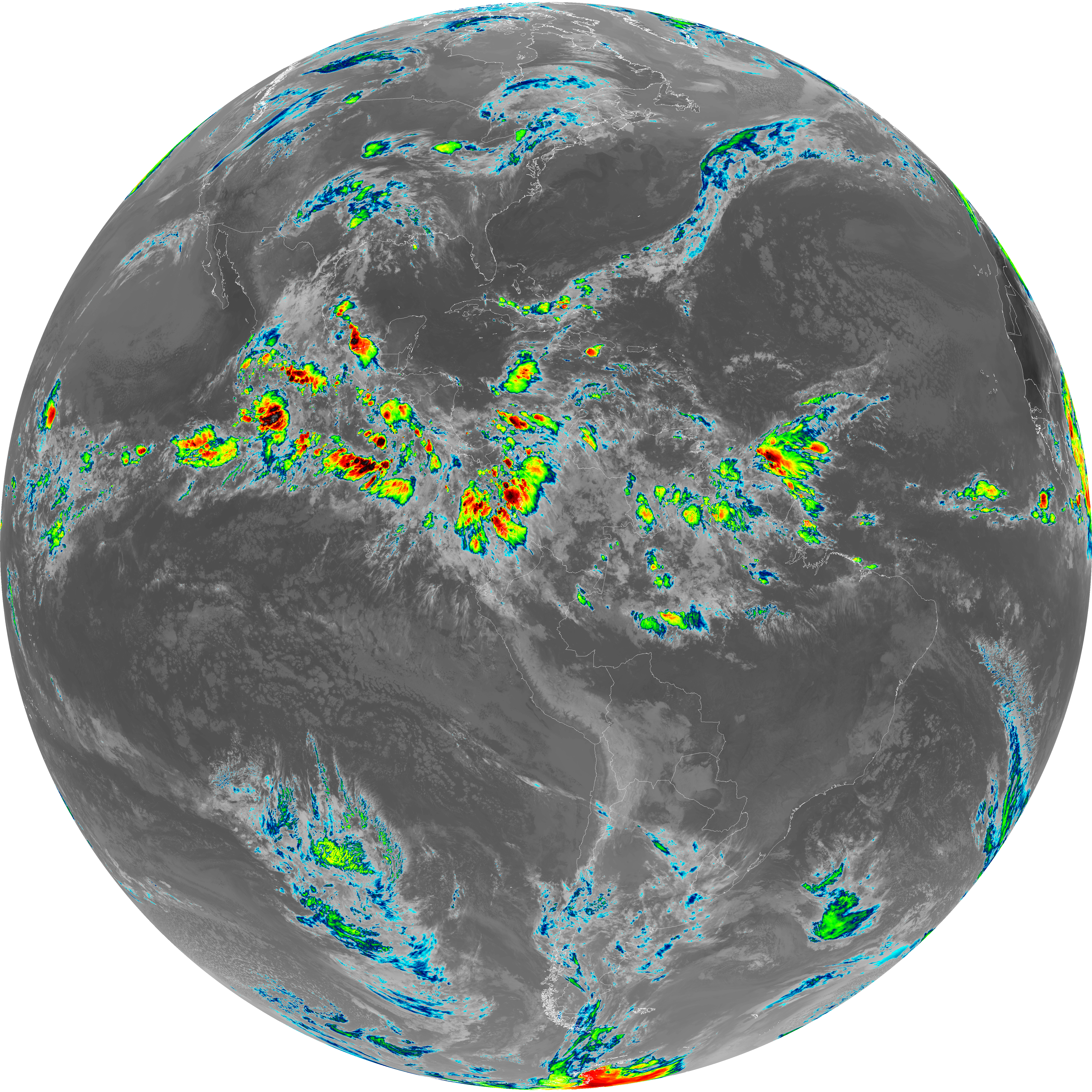
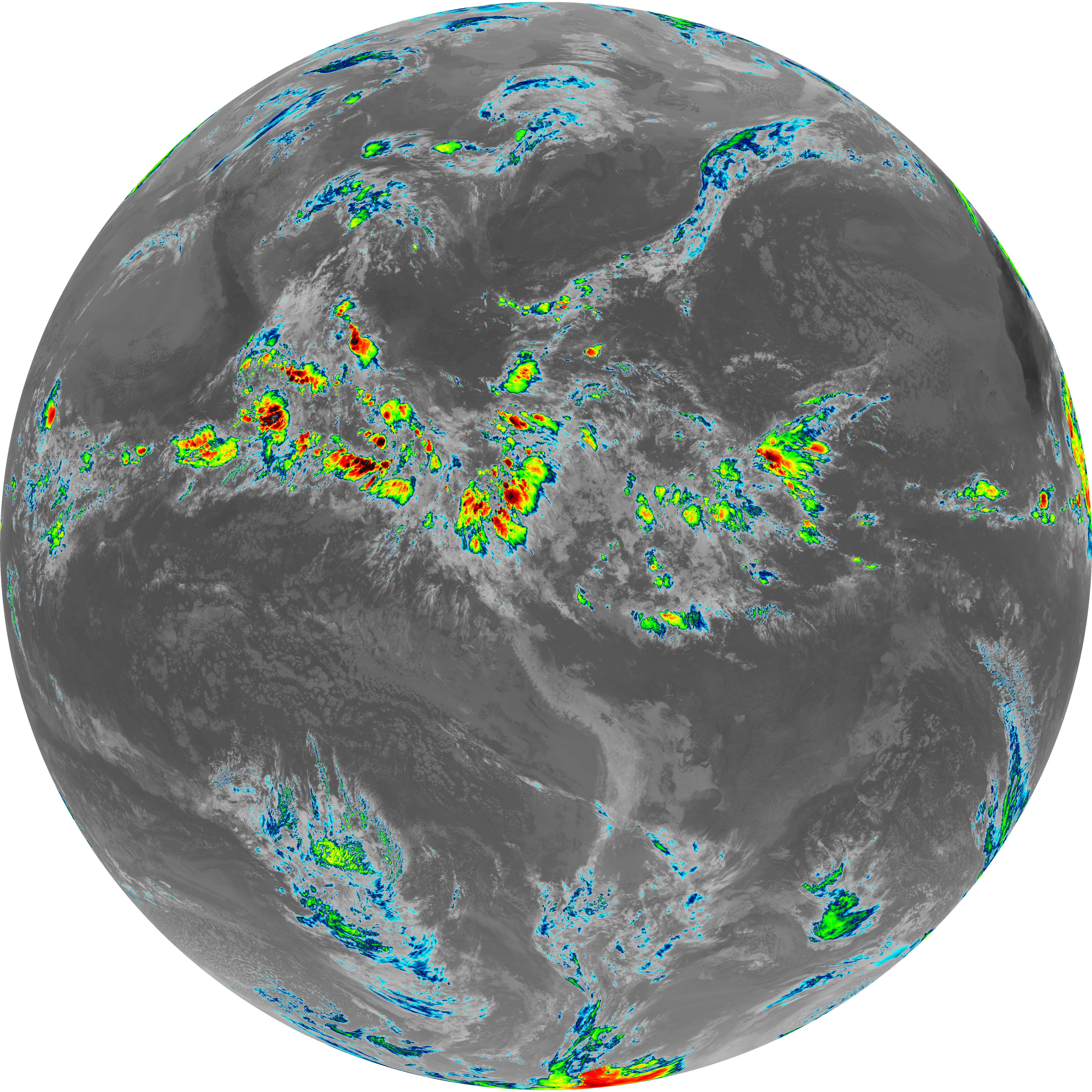
| G19_2_20260606T113021Z.png | 8272922 | 2026-Jun-06 11:49 |
| abi_rgb_Clean_Longwave_IR_Window_Band_map.png | 13973641 | 2026-Jun-06 11:46 |
| abi_rgb_Clean_Longwave_IR_Window_Band.png | 13933144 | 2026-Jun-06 11:46 |
| G19_13_20260606T113021Z.png | 10371493 | 2026-Jun-06 11:46 |
| abi_rgb_Shortwave_Window_Band_map.png | 14715353 | 2026-Jun-06 11:43 |
| abi_rgb_Shortwave_Window_Band.png | 14656248 | 2026-Jun-06 11:43 |
| G19_7_20260606T113021Z.png | 10710999 | 2026-Jun-06 11:43 |