| Parent directory/ | - | - |
| G19_7_20260606T120021Z.png | 10609417 | 2026-Jun-06 12:13 |
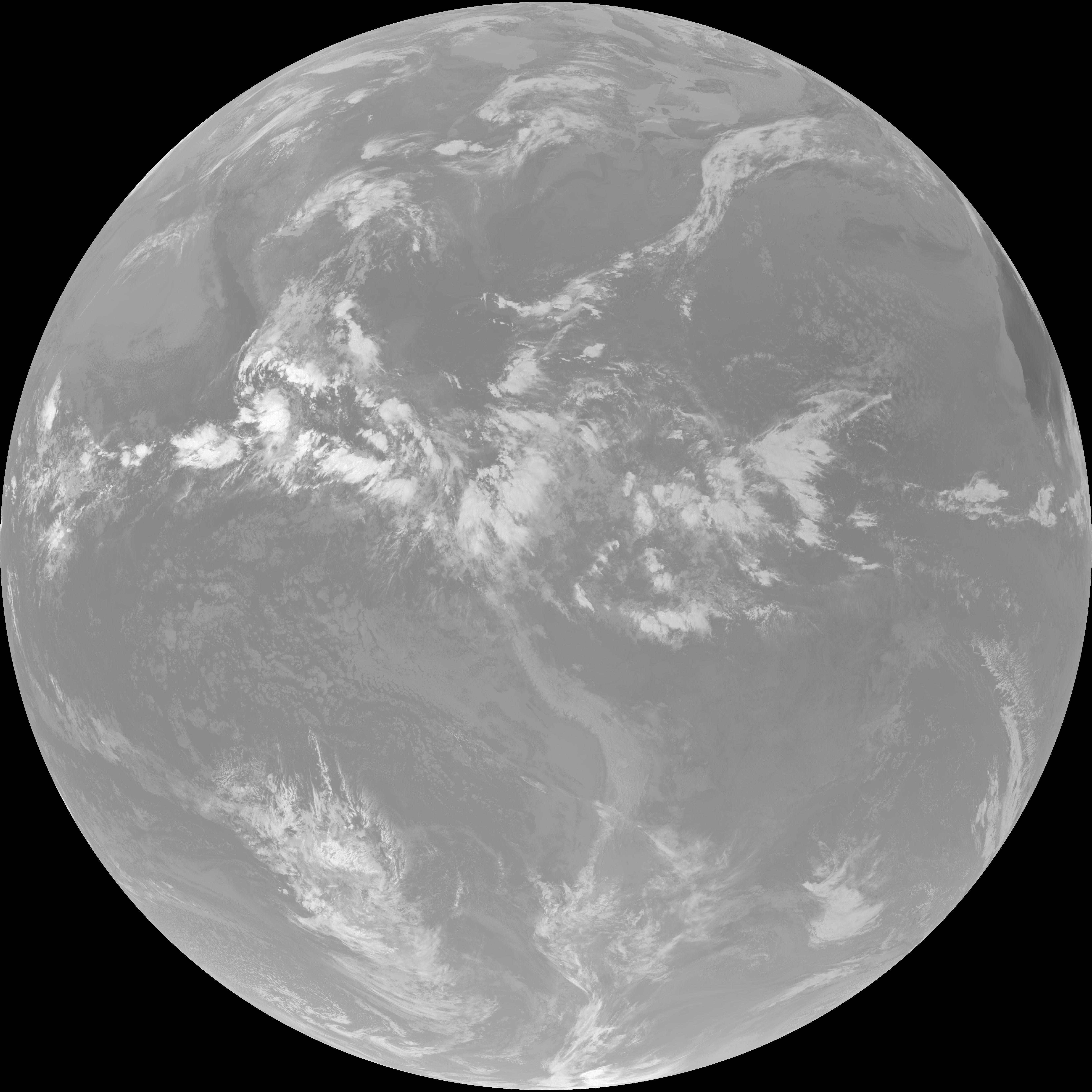
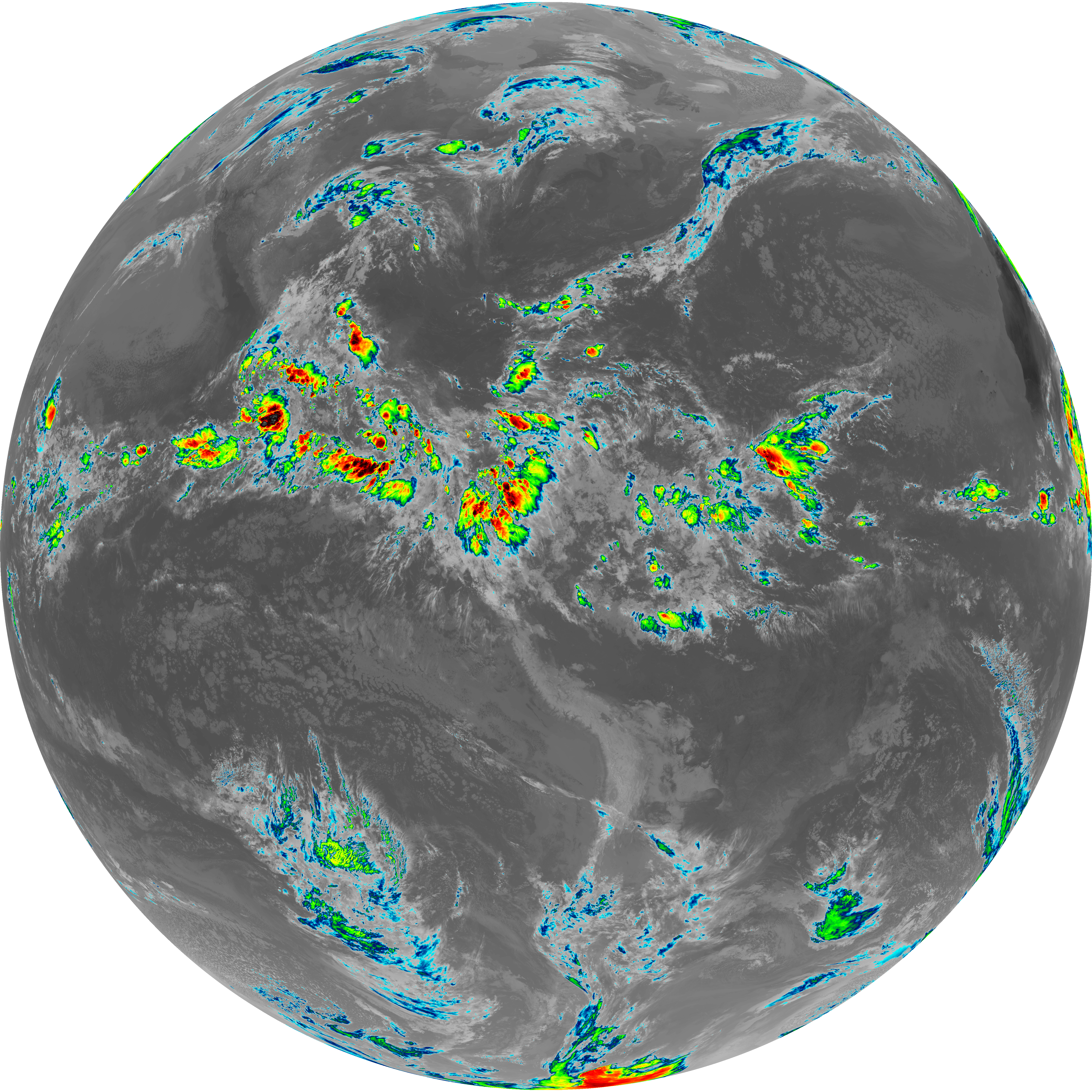
| abi_rgb_Shortwave_Window_Band.png | 14526128 | 2026-Jun-06 12:13 |
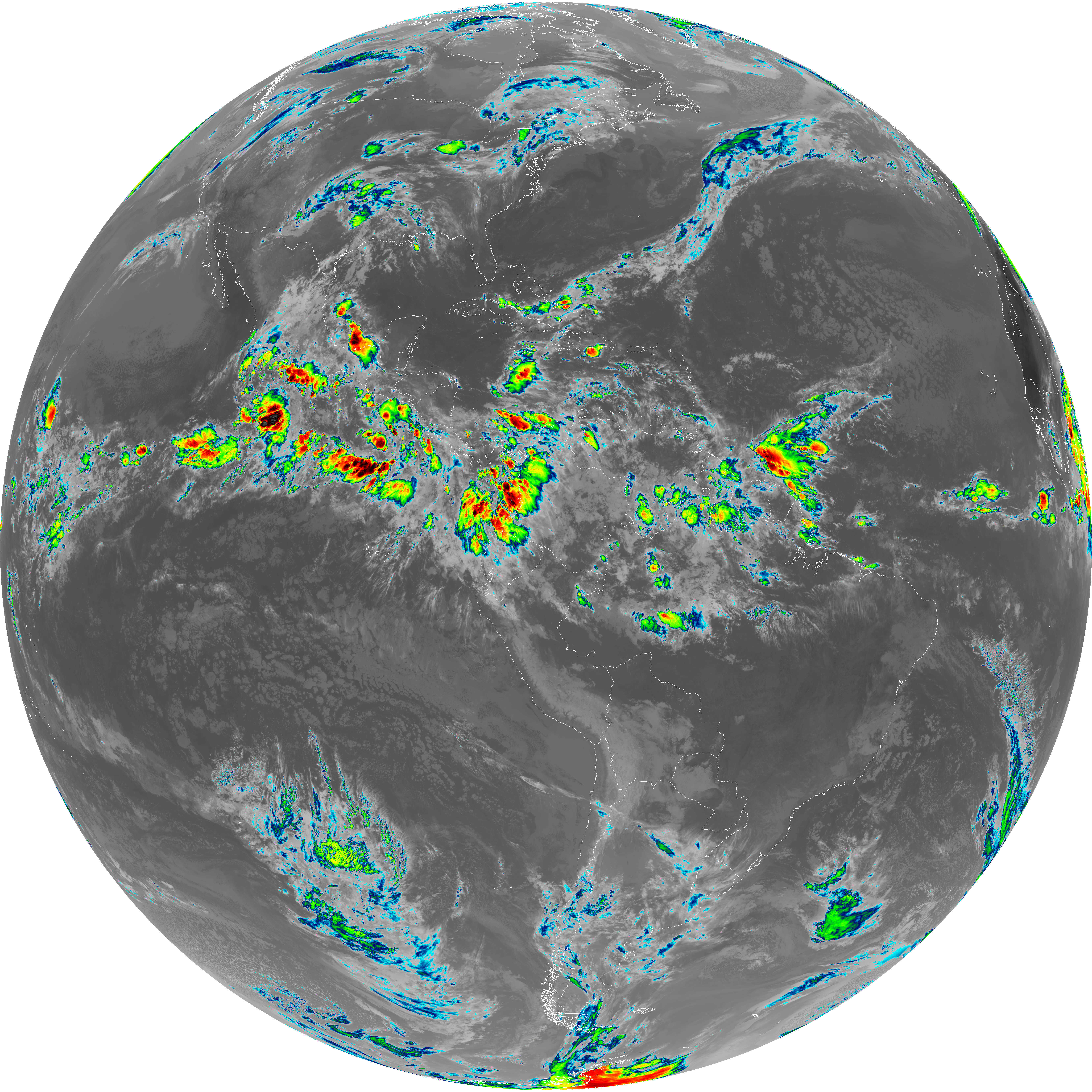
| abi_rgb_Shortwave_Window_Band_map.png | 14584840 | 2026-Jun-06 12:13 |
| G19_13_20260606T120021Z.png | 10382839 | 2026-Jun-06 12:16 |
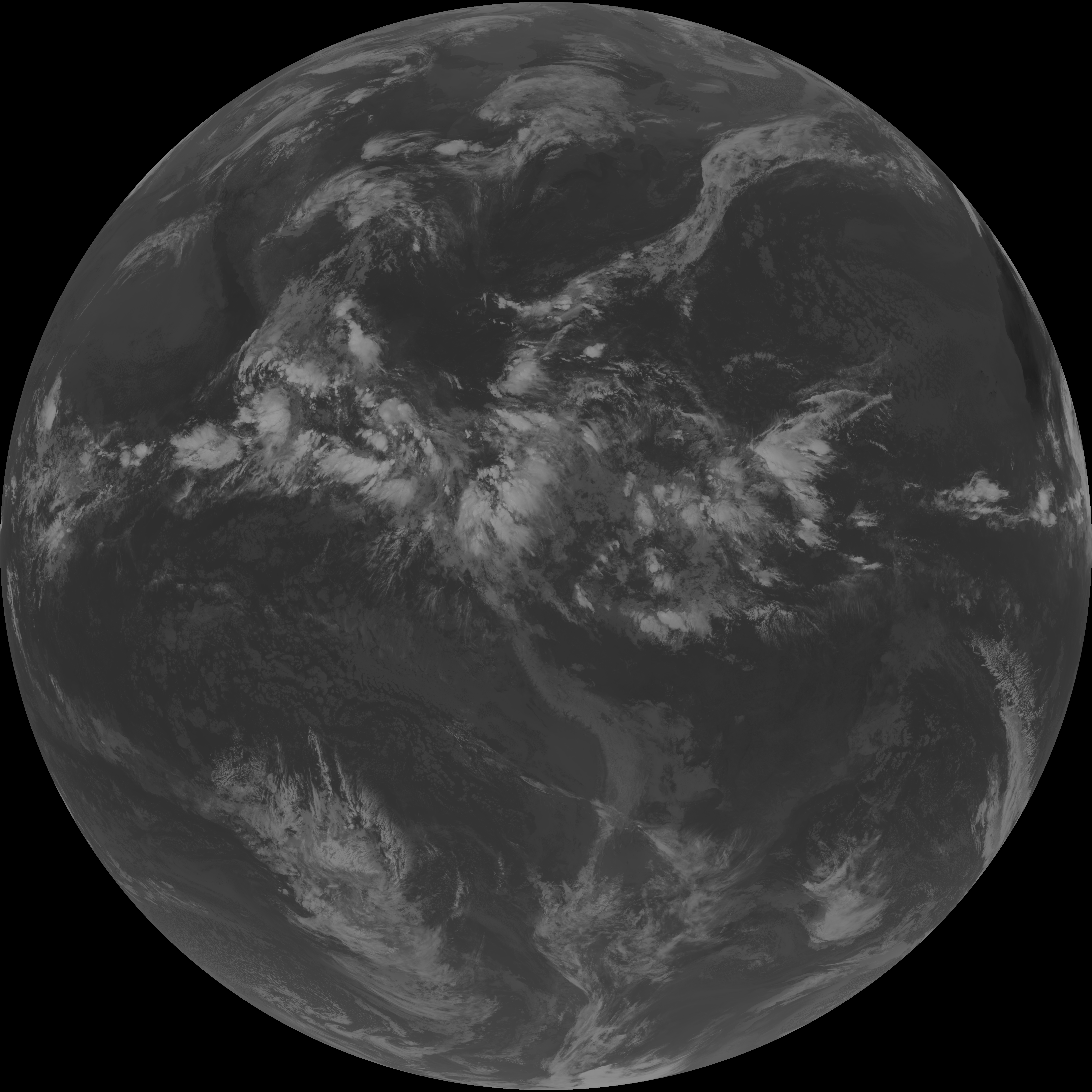
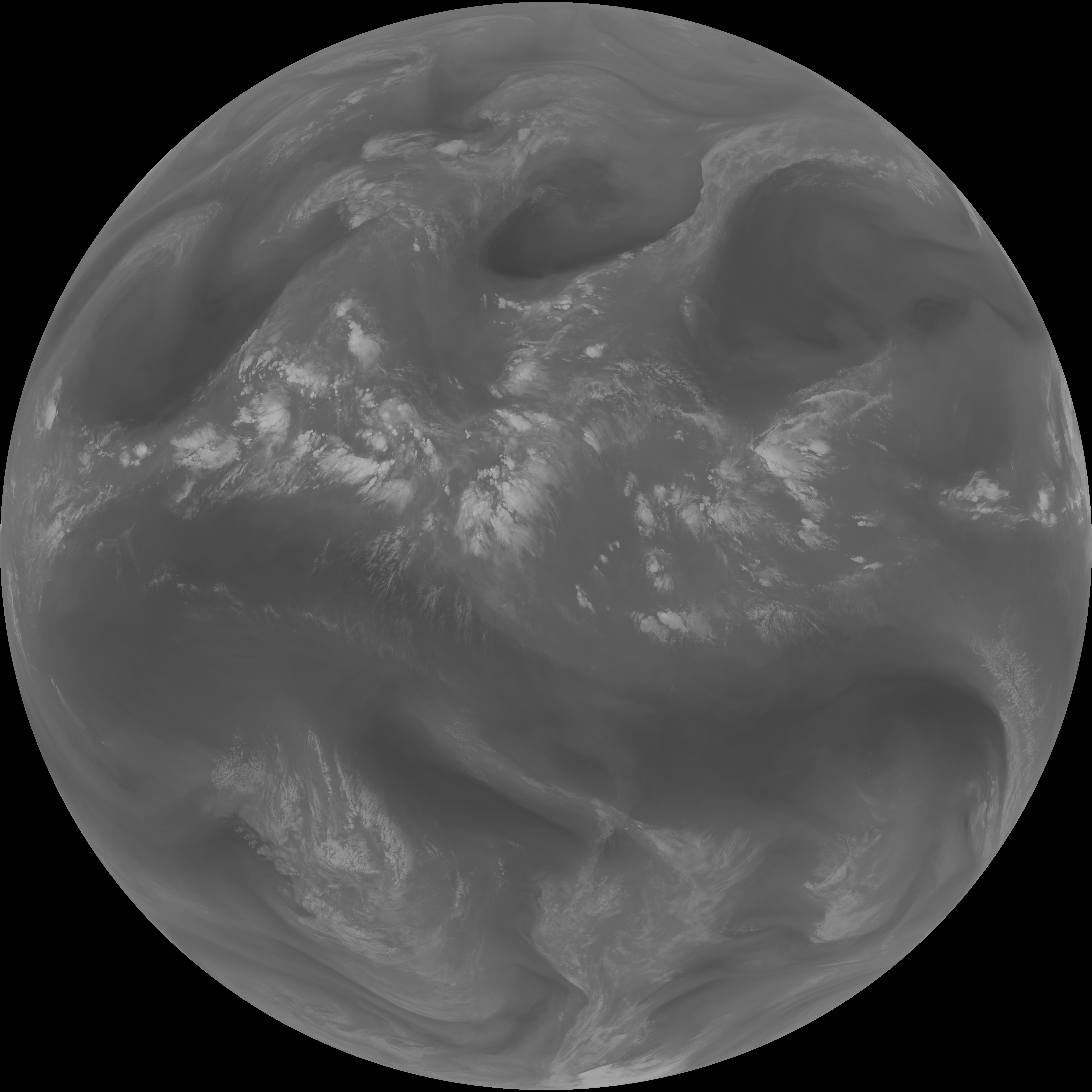
| abi_rgb_Clean_Longwave_IR_Window_Band.png | 13942871 | 2026-Jun-06 12:16 |
| abi_rgb_Clean_Longwave_IR_Window_Band_map.png | 13982517 | 2026-Jun-06 12:16 |
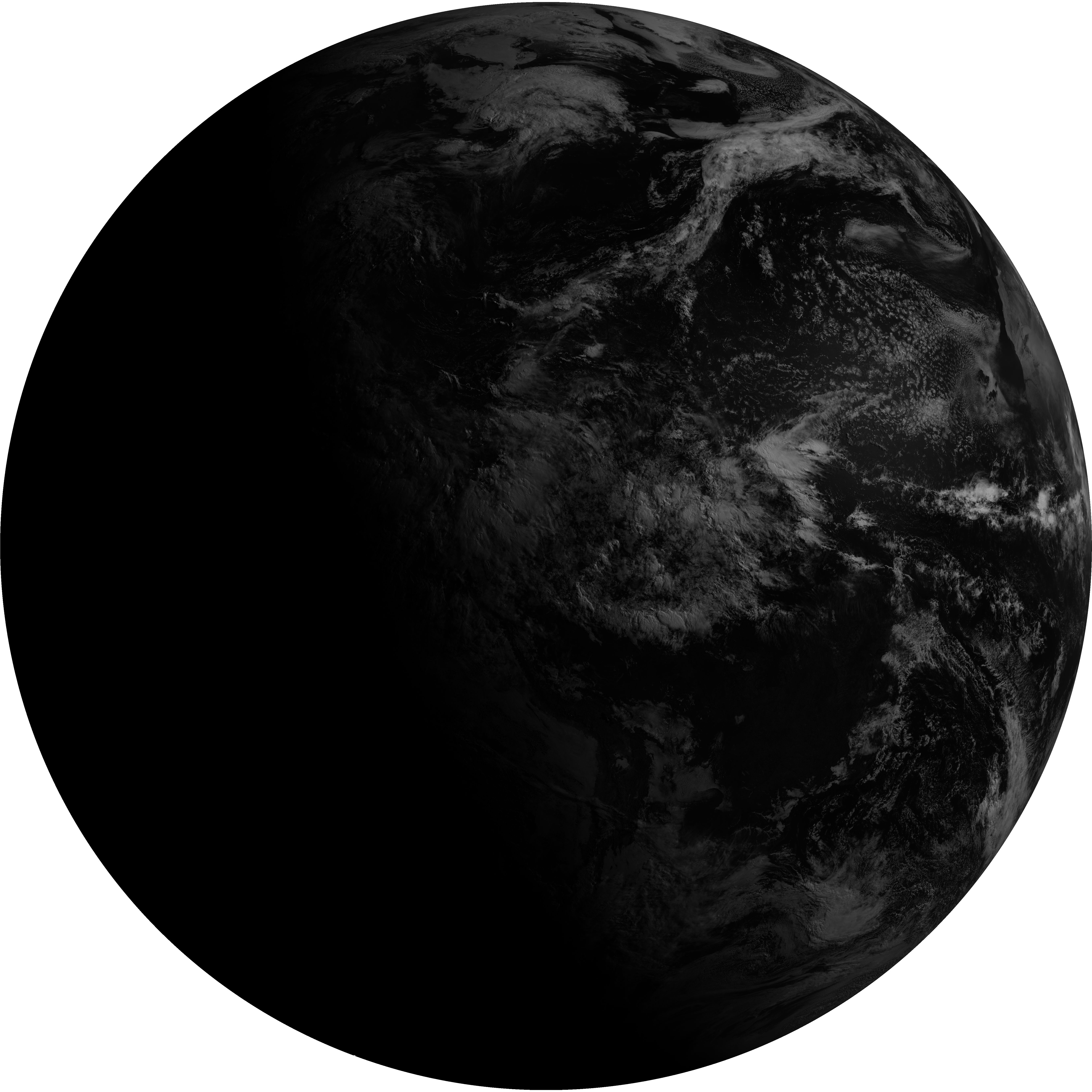
| G19_2_20260606T120021Z.png | 9419680 | 2026-Jun-06 12:19 |
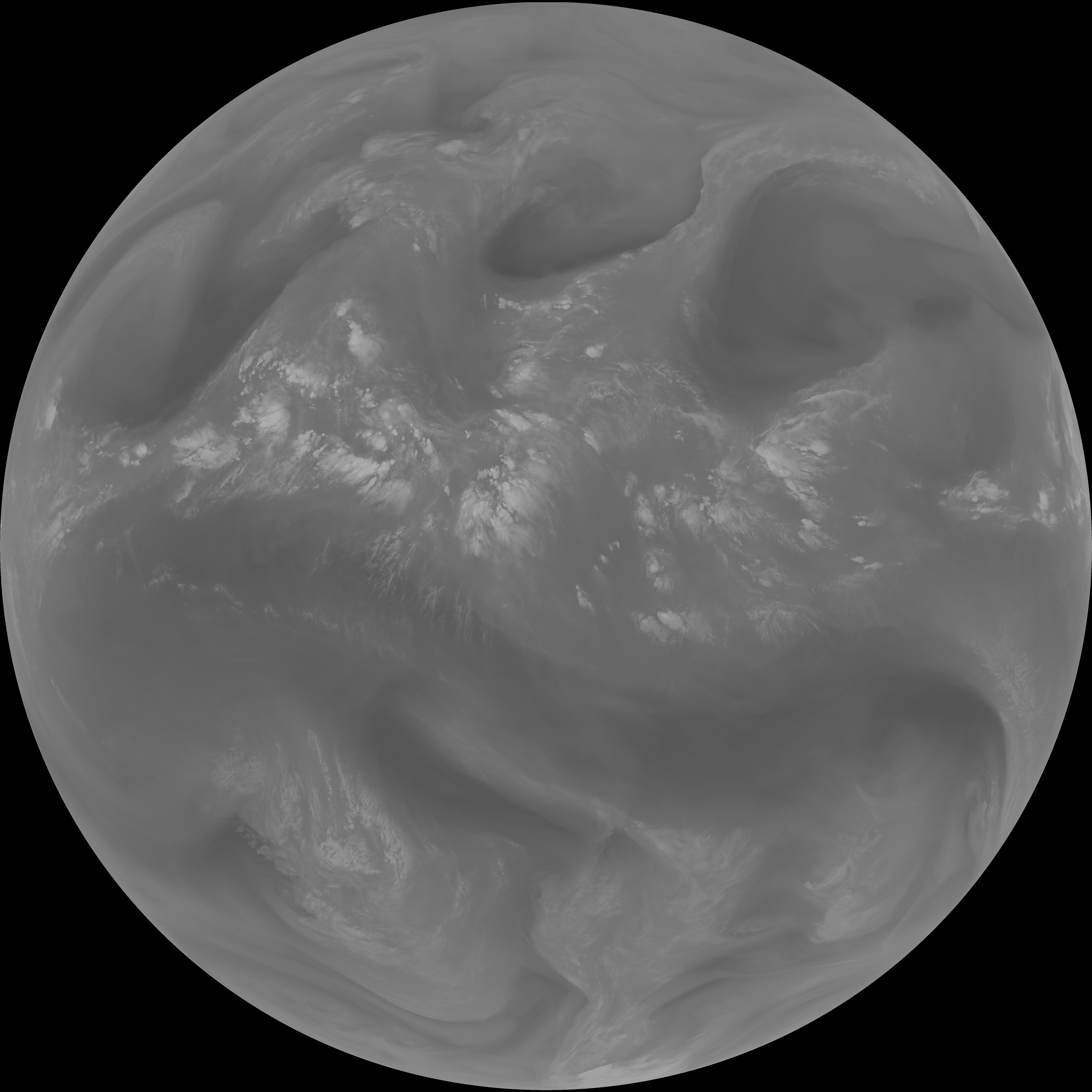
| G19_8_20260606T120021Z.png | 5637526 | 2026-Jun-06 12:21 |
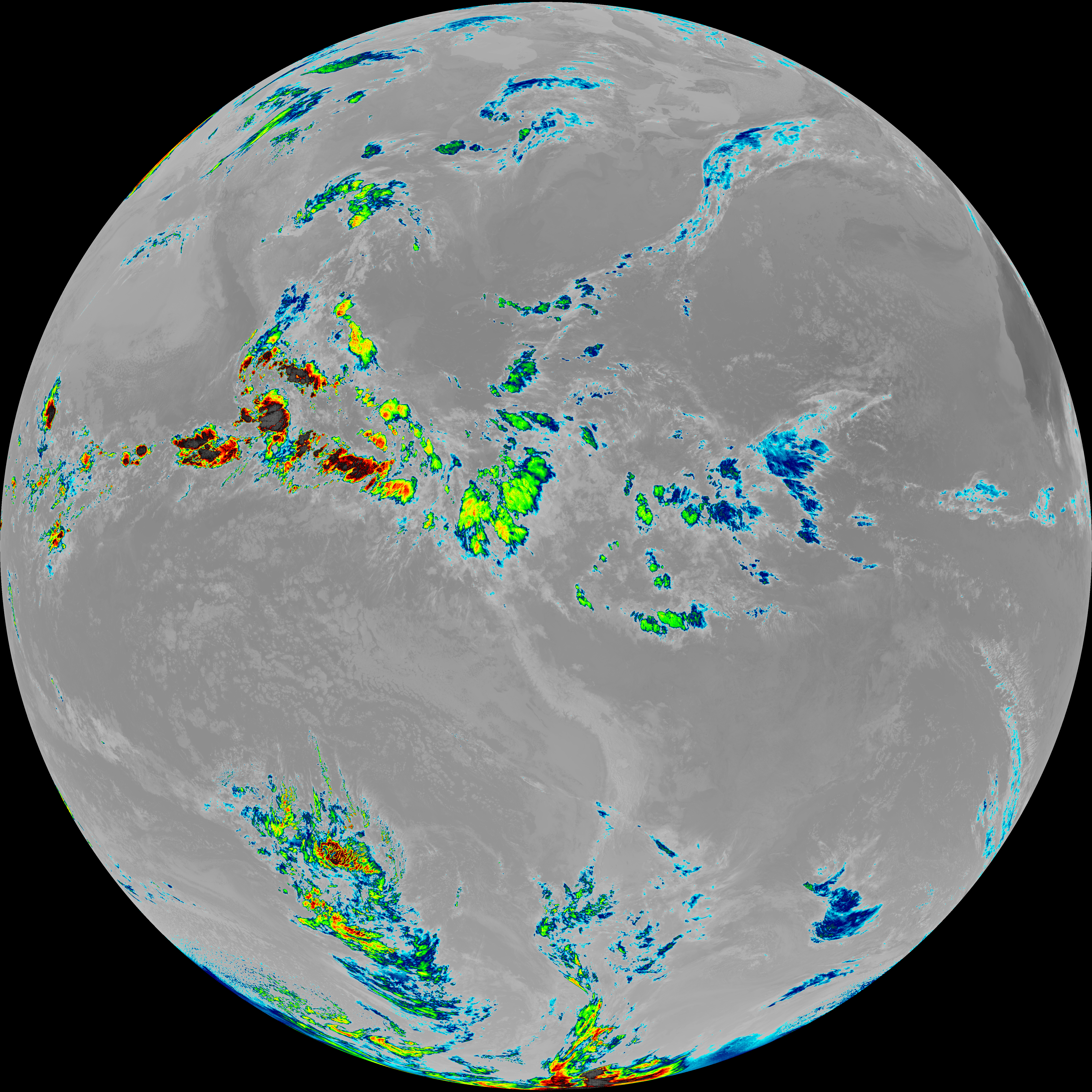
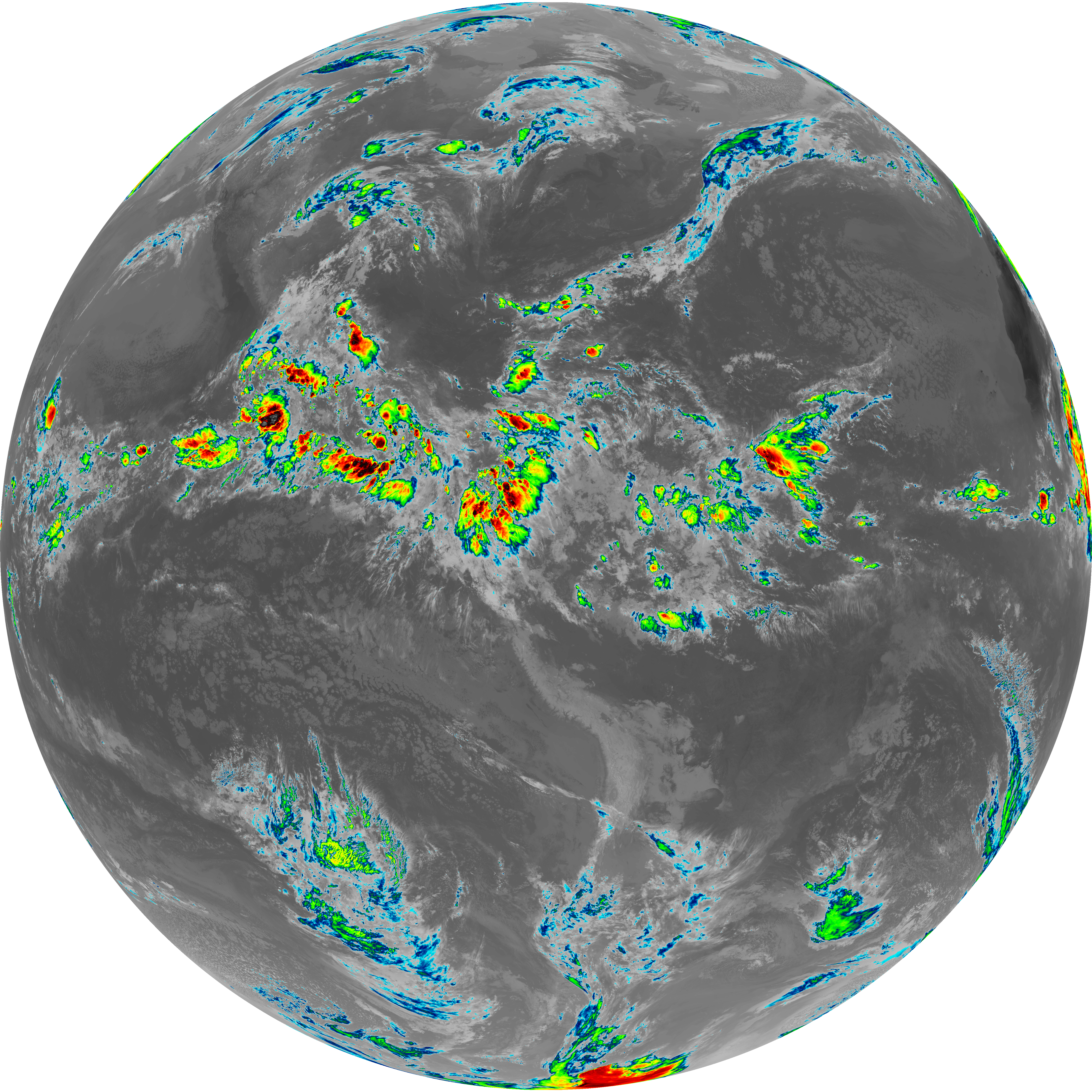
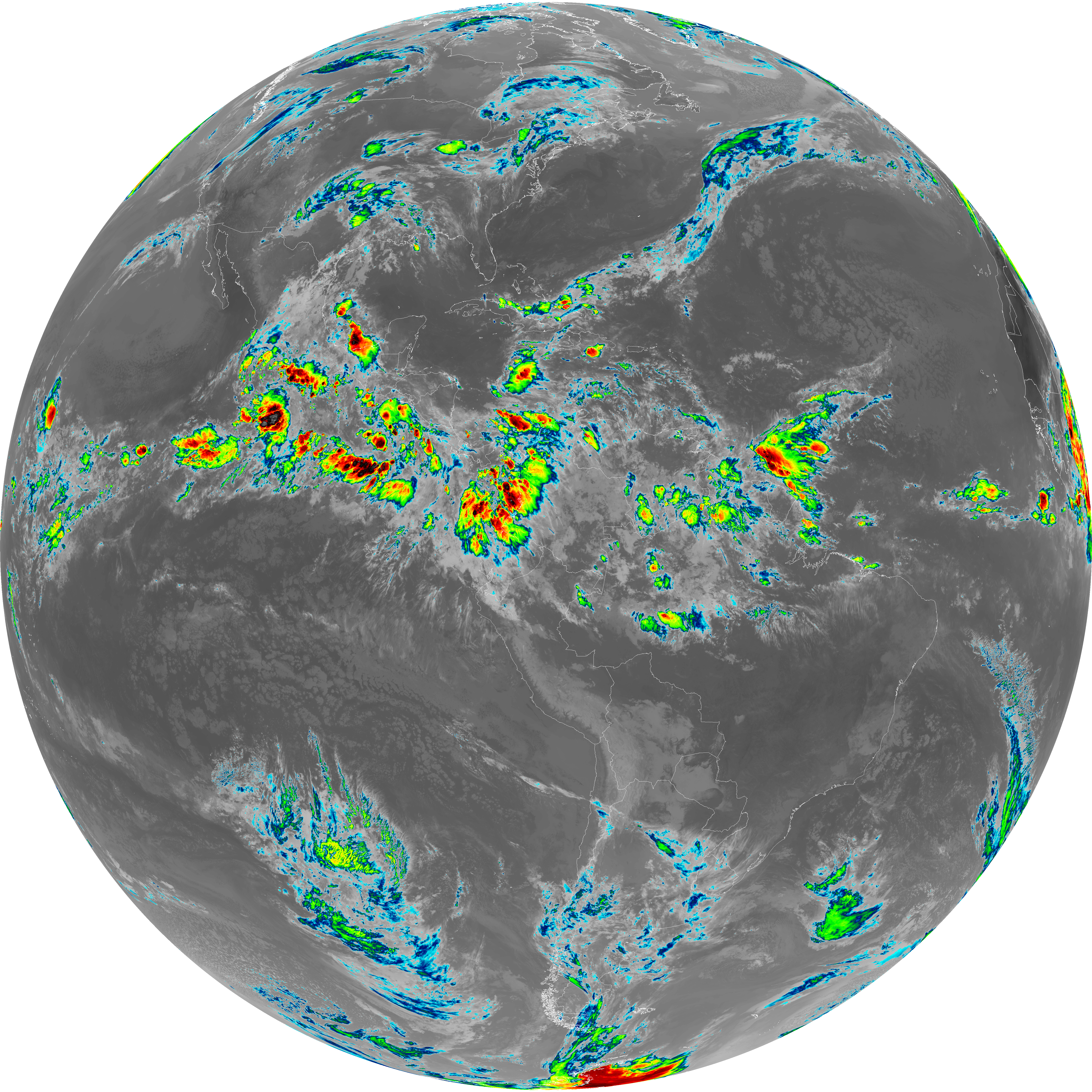
| abi_rgb_Upper-Level_Tropospheric_Water_Vapor.png | 7521451 | 2026-Jun-06 12:21 |
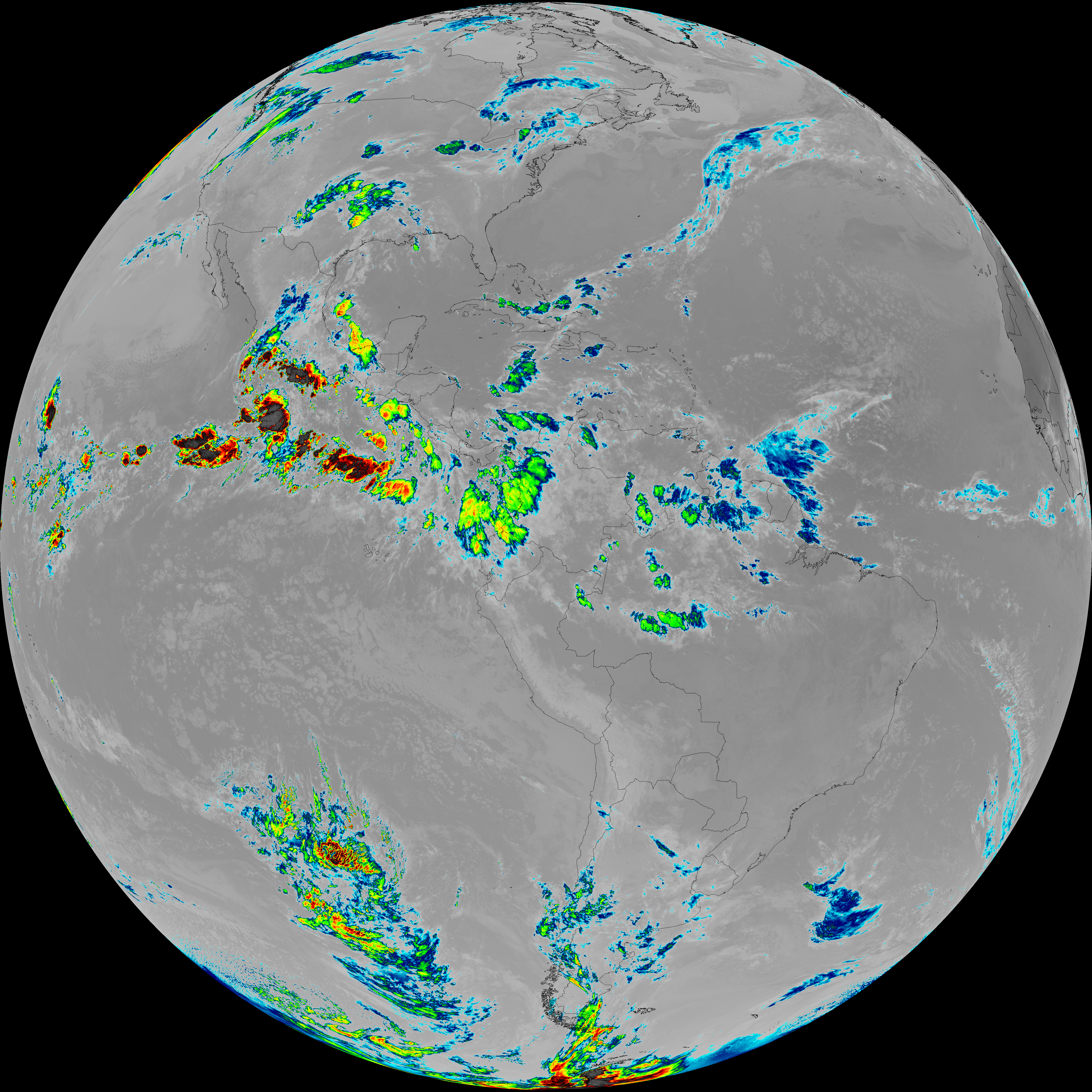
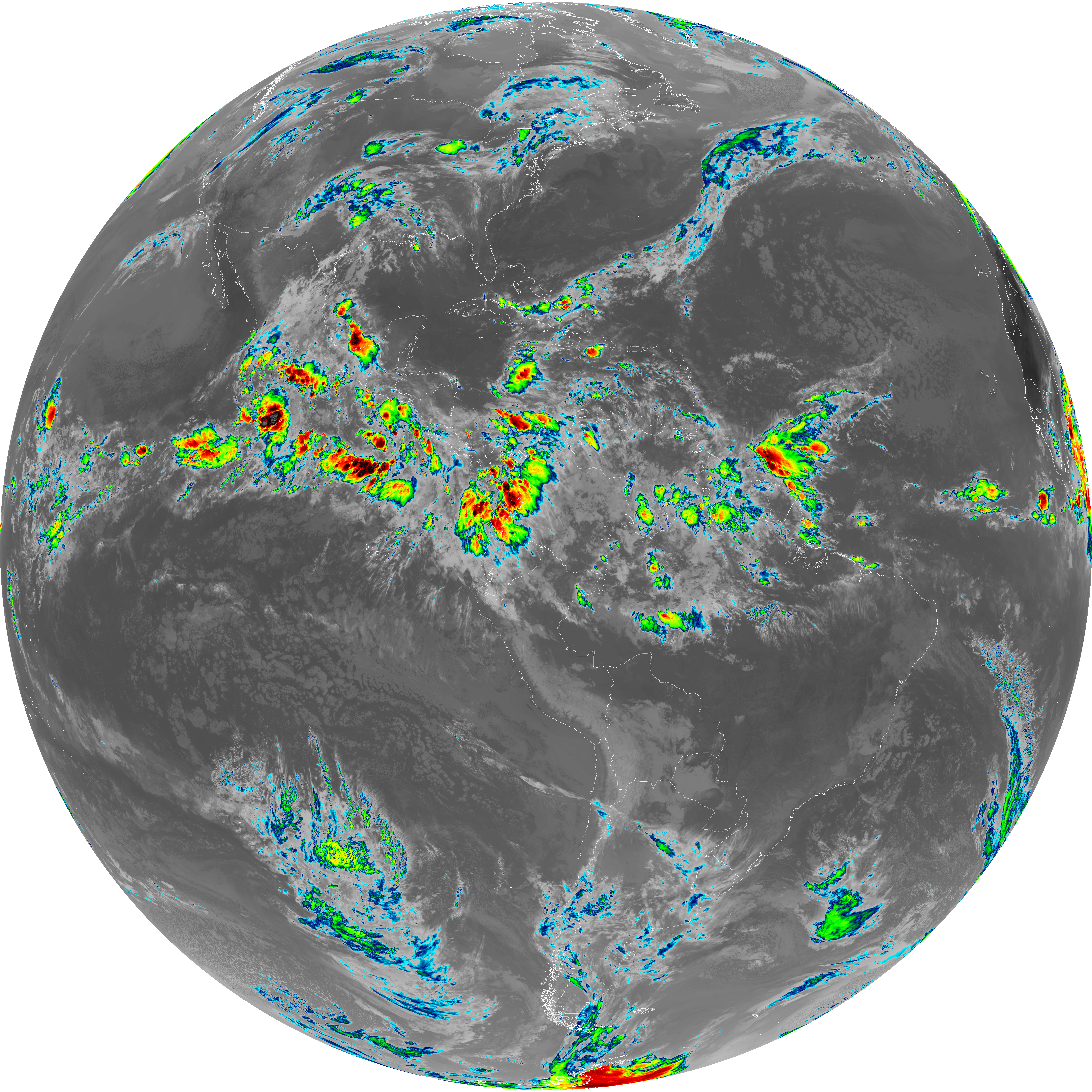
| abi_rgb_Upper-Level_Tropospheric_Water_Vapor_map.png | 7633172 | 2026-Jun-06 12:21 |
| G19_9_20260606T120021Z.png | 6513438 | 2026-Jun-06 12:23 |
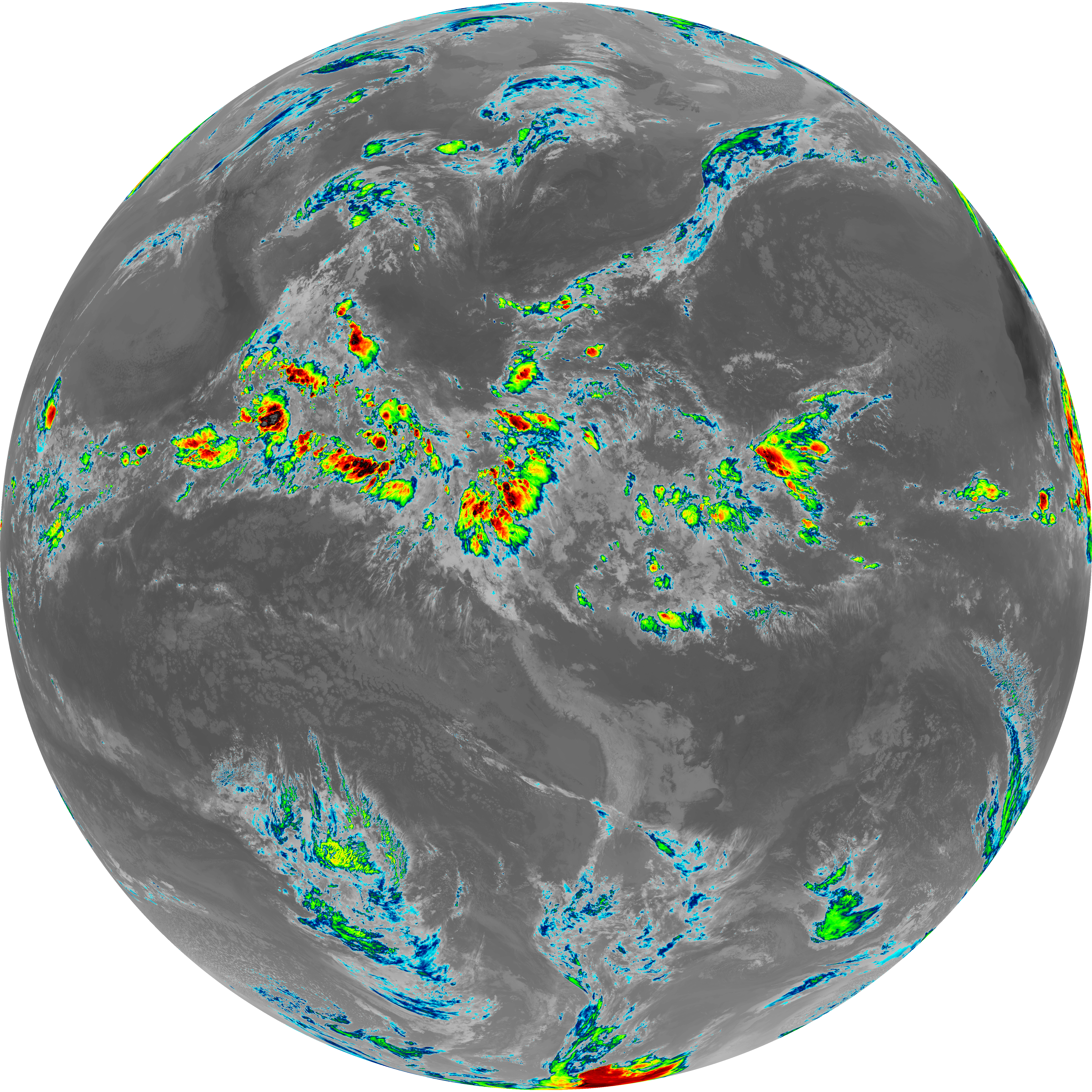
| abi_rgb_Mid-level_Tropospheric_Water_Vapor.png | 8732634 | 2026-Jun-06 12:23 |
| abi_rgb_Mid-level_Tropospheric_Water_Vapor_map.png | 8833284 | 2026-Jun-06 12:23 |
| G19_14_20260606T120021Z.png | 10533100 | 2026-Jun-06 12:26 |
| abi_rgb_Infrared_Longwave_Window_Band.png | 14112061 | 2026-Jun-06 12:26 |
| abi_rgb_Infrared_Longwave_Window_Band_map.png | 14151825 | 2026-Jun-06 12:26 |
| G19_15_20260606T120021Z.png | 10263102 | 2026-Jun-06 12:29 |
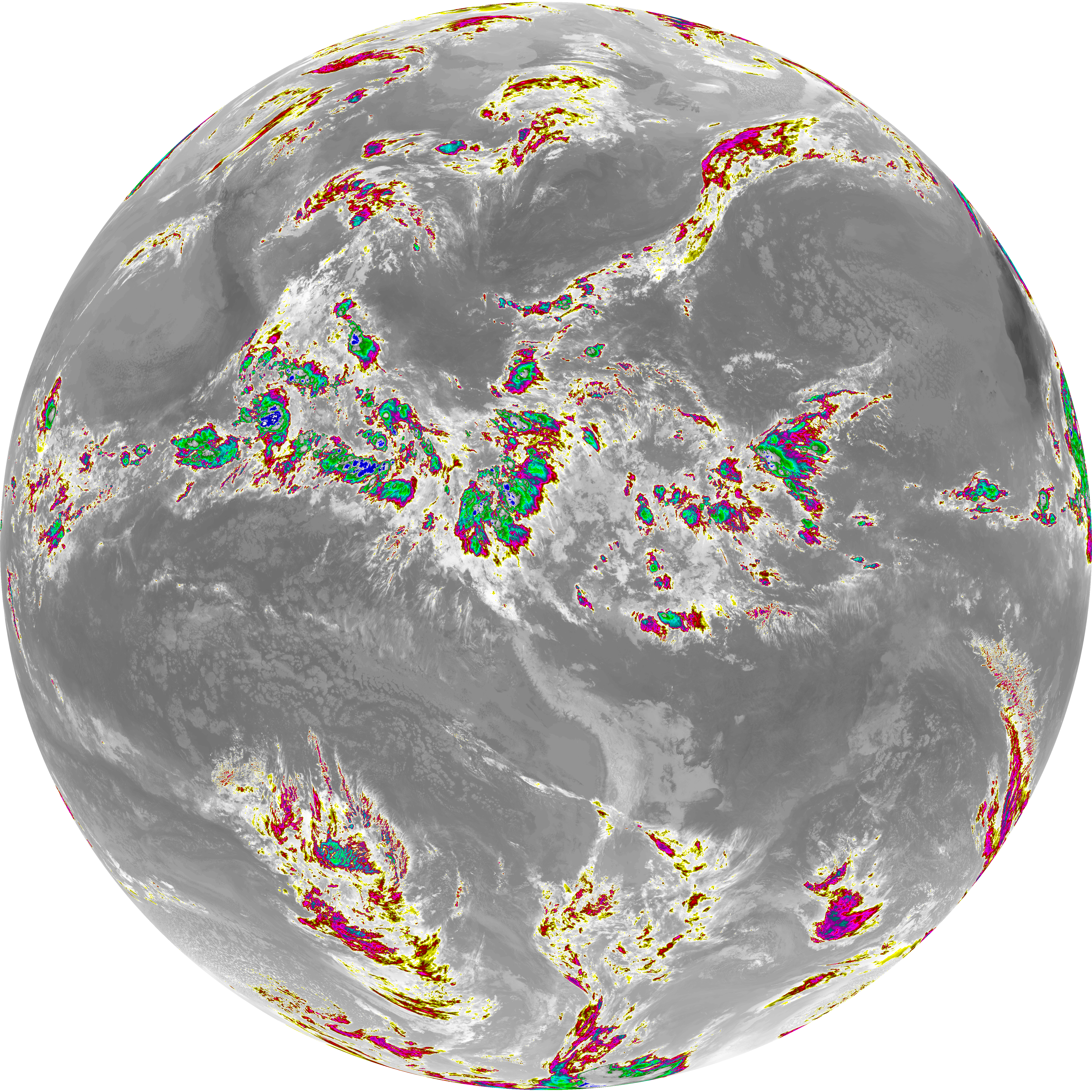
| abi_rgb_Dirty_Longwave_Window.png | 13794447 | 2026-Jun-06 12:29 |
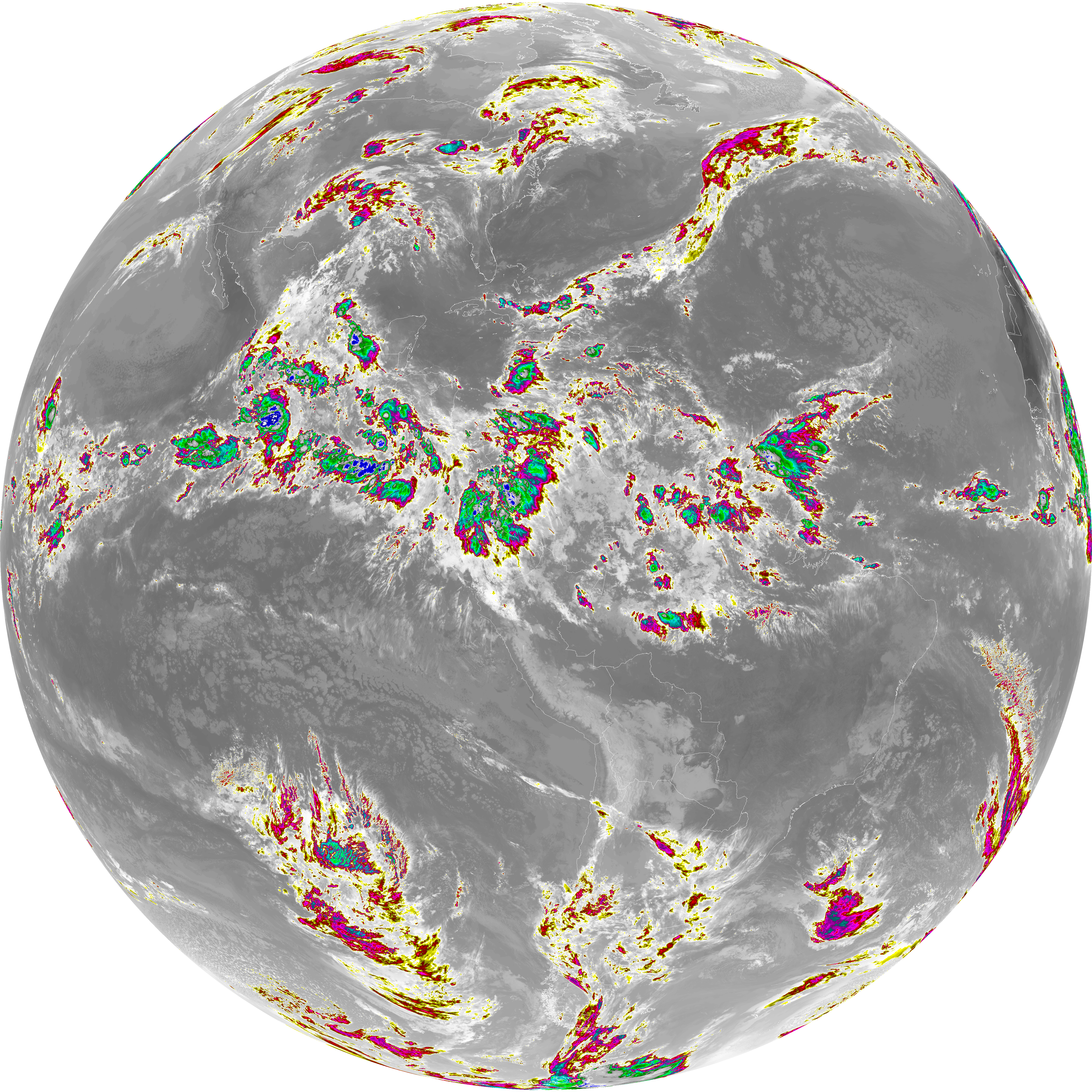
| abi_rgb_Dirty_Longwave_Window_map.png | 13837103 | 2026-Jun-06 12:29 |
| abi_rgb_Dirty_Longwave_Window_-_CIRA.png | 12115958 | 2026-Jun-06 12:29 |
| abi_rgb_Dirty_Longwave_Window_-_CIRA_map.png | 12170788 | 2026-Jun-06 12:29 |