| Parent directory/ | - | - |
| abi_rgb_Upper-Level_Tropospheric_Water_Vapor_map.png | 7685271 | 2026-Jun-06 13:22 |
| abi_rgb_Upper-Level_Tropospheric_Water_Vapor.png | 7574900 | 2026-Jun-06 13:22 |
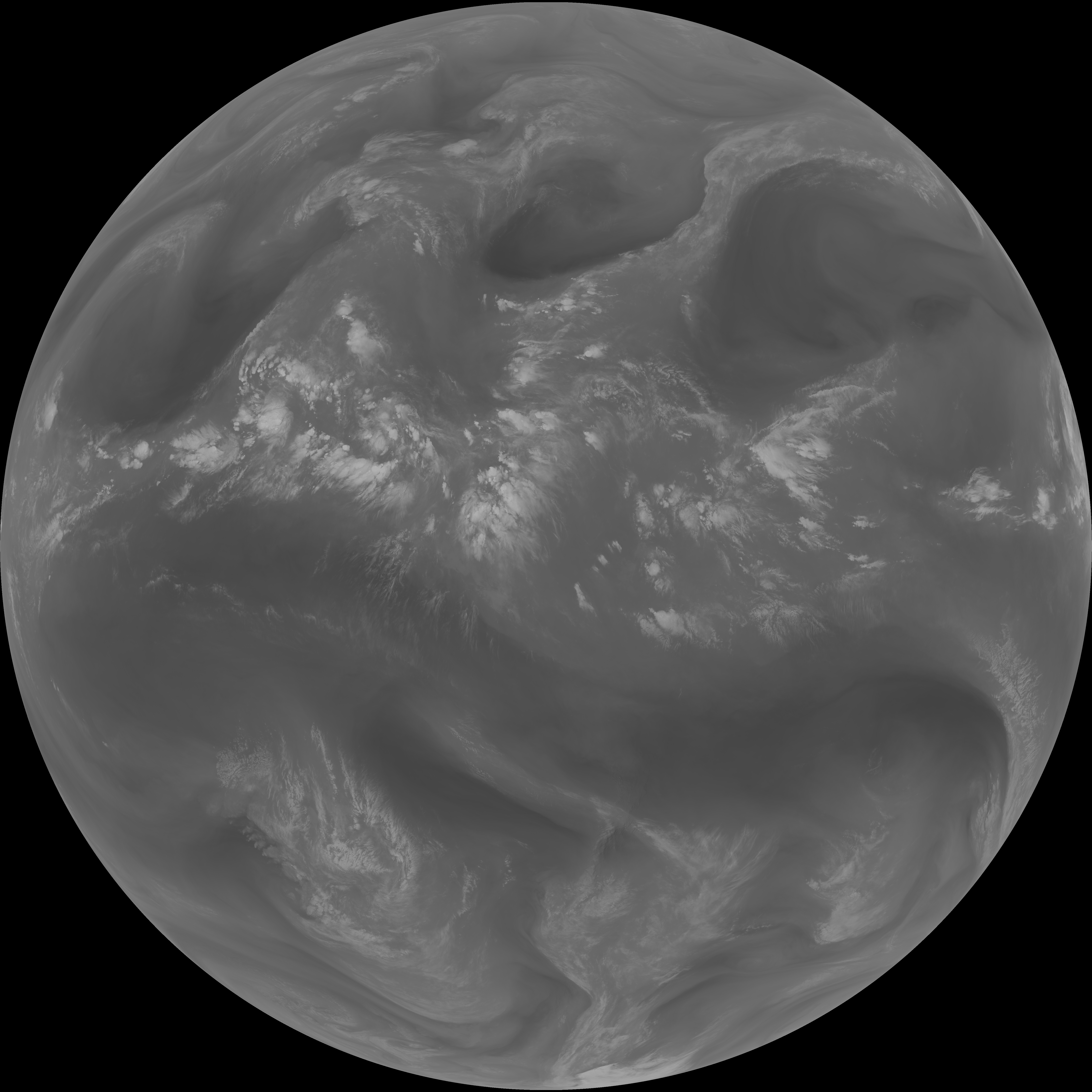
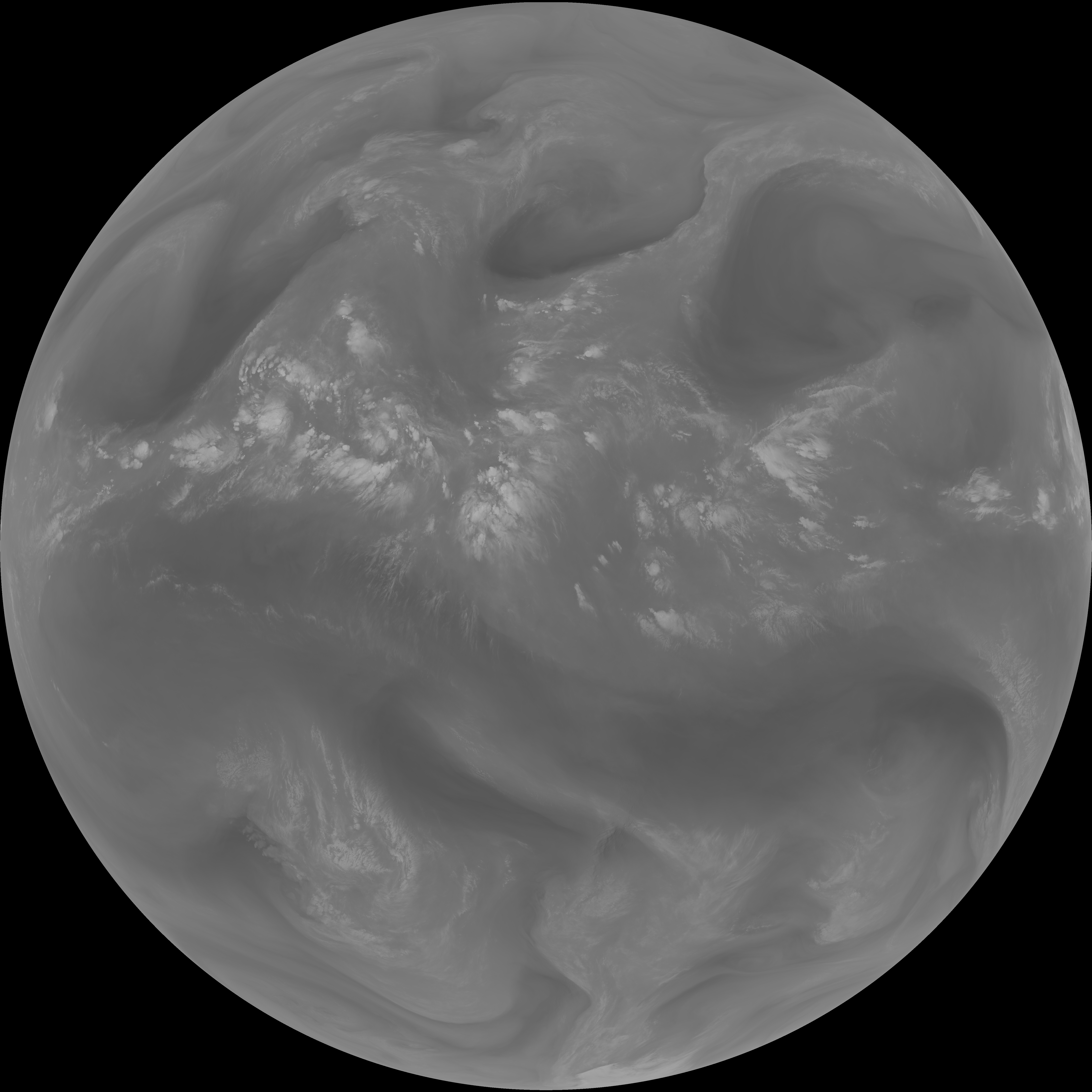
| abi_rgb_Shortwave_Window_Band_map.png | 14403188 | 2026-Jun-06 13:13 |
| abi_rgb_Shortwave_Window_Band.png | 14343500 | 2026-Jun-06 13:13 |
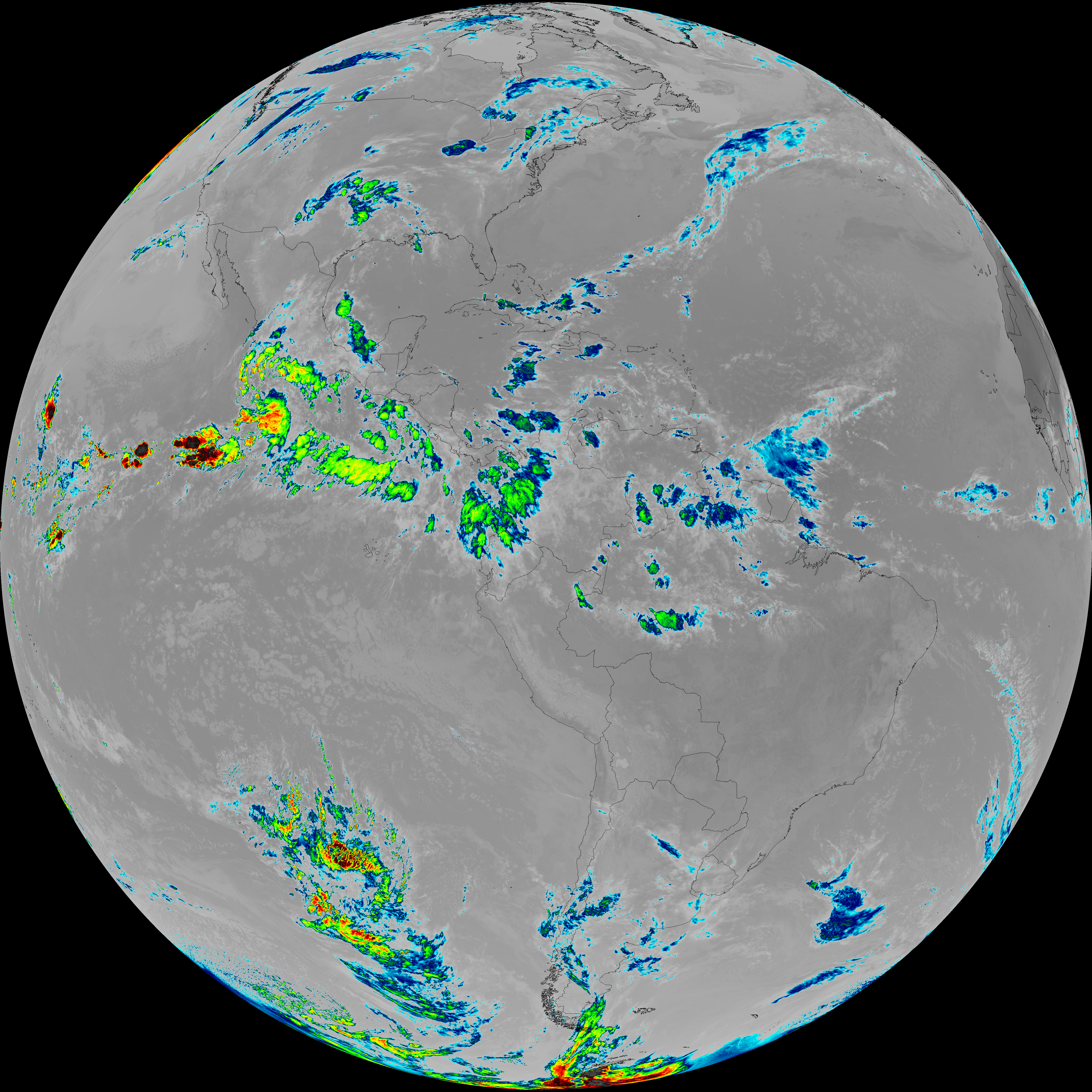
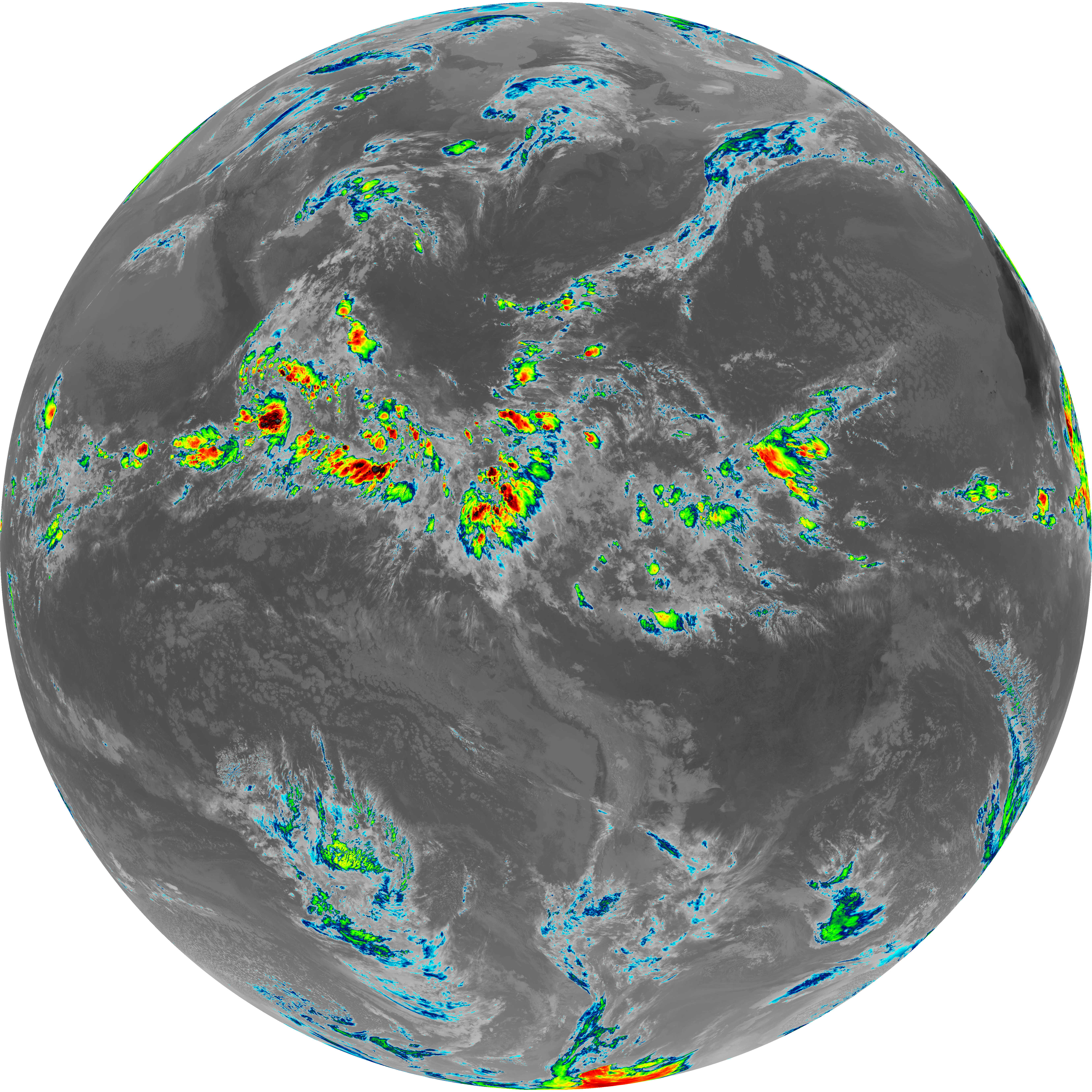
| abi_rgb_Mid-level_Tropospheric_Water_Vapor_map.png | 8881342 | 2026-Jun-06 13:24 |
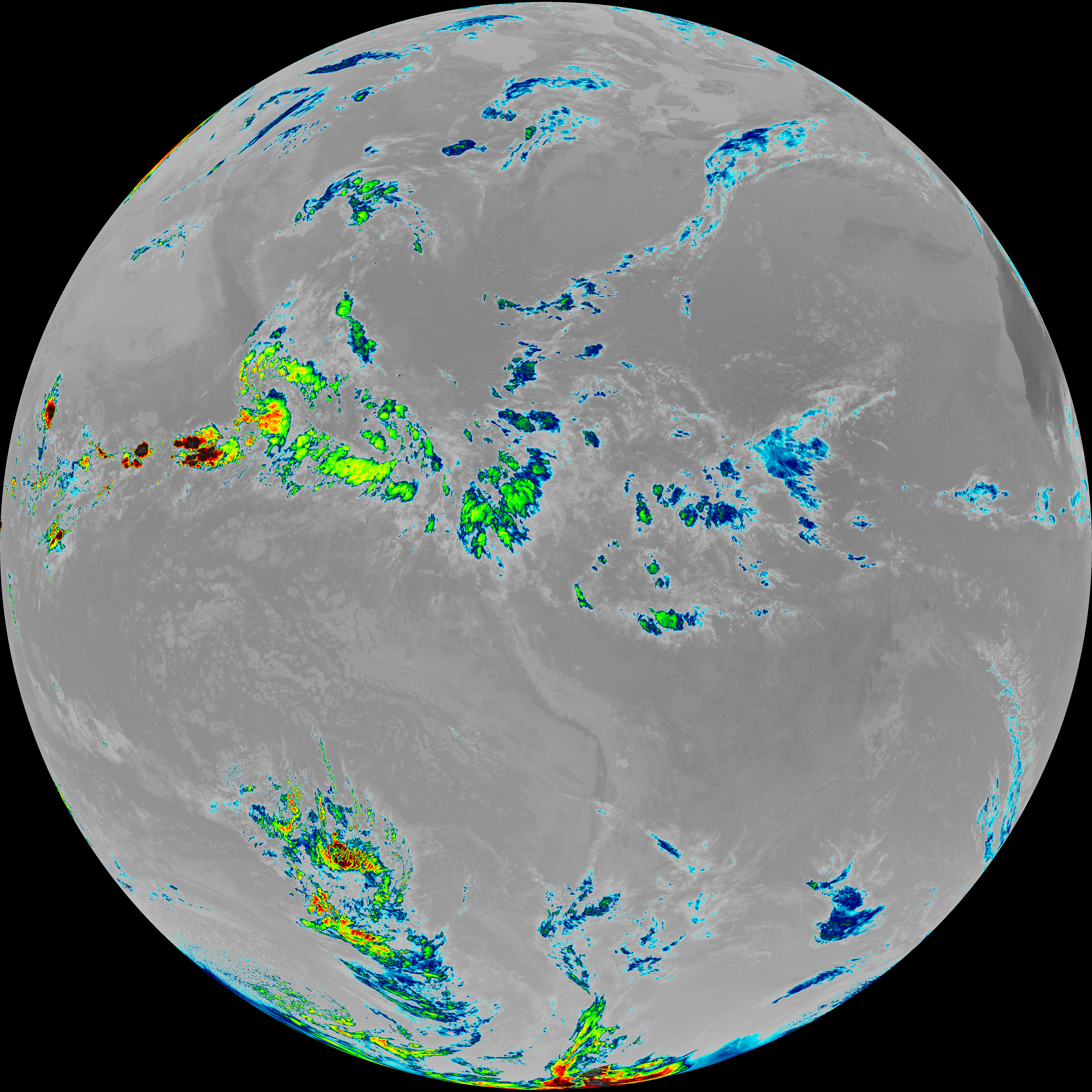
| abi_rgb_Mid-level_Tropospheric_Water_Vapor.png | 8780351 | 2026-Jun-06 13:24 |
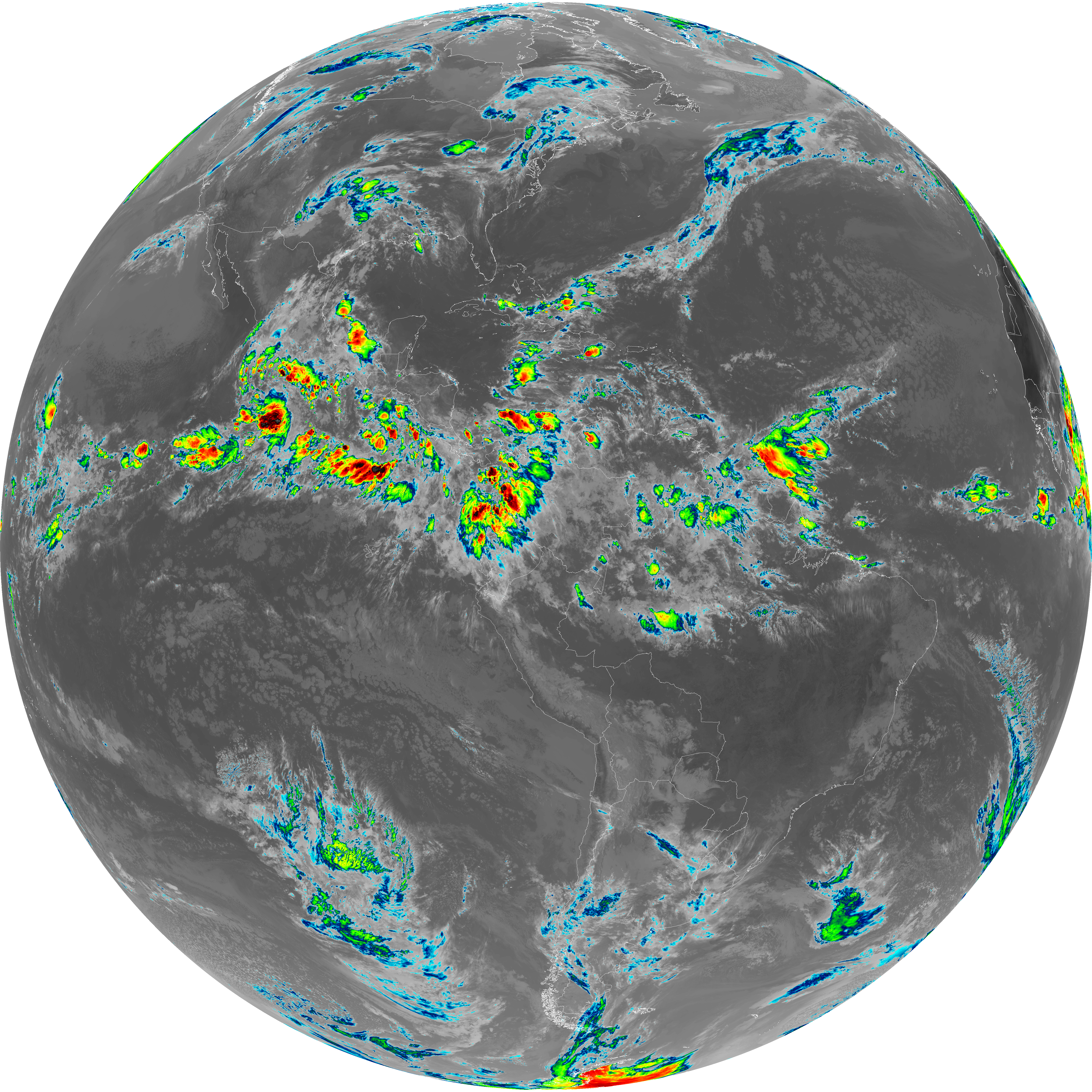
| abi_rgb_Infrared_Longwave_Window_Band_map.png | 14221502 | 2026-Jun-06 13:27 |
| abi_rgb_Infrared_Longwave_Window_Band.png | 14185307 | 2026-Jun-06 13:27 |
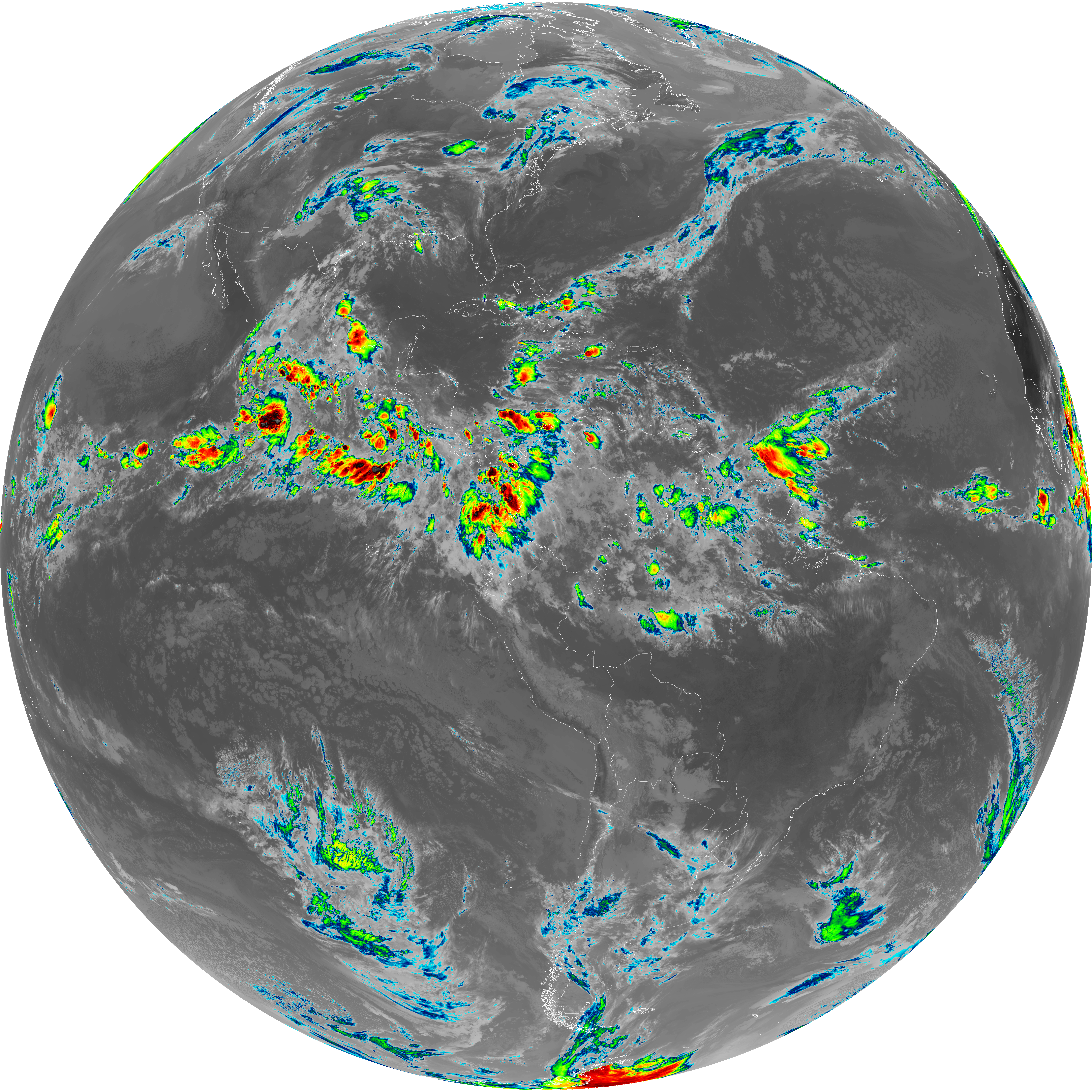
| abi_rgb_Dirty_Longwave_Window_map.png | 13905205 | 2026-Jun-06 13:30 |
| abi_rgb_Dirty_Longwave_Window_-_CIRA_map.png | 12244529 | 2026-Jun-06 13:30 |
| abi_rgb_Dirty_Longwave_Window_-_CIRA.png | 12190874 | 2026-Jun-06 13:30 |
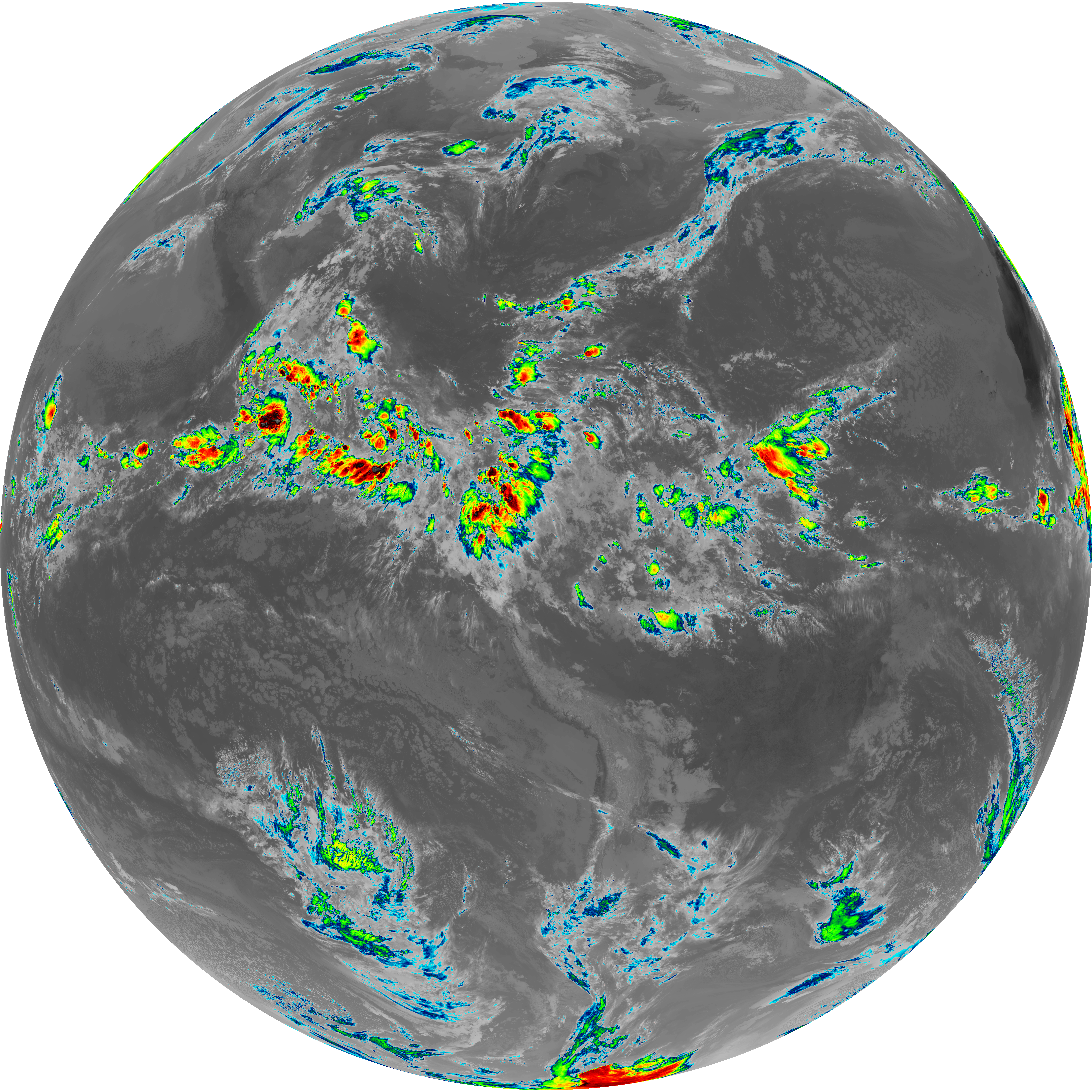
| abi_rgb_Dirty_Longwave_Window.png | 13865617 | 2026-Jun-06 13:30 |
| abi_rgb_Clean_Longwave_IR_Window_Band_map.png | 14047504 | 2026-Jun-06 13:16 |
| abi_rgb_Clean_Longwave_IR_Window_Band.png | 14010672 | 2026-Jun-06 13:16 |
| G19_9_20260606T130021Z.png | 6544046 | 2026-Jun-06 13:24 |
| G19_8_20260606T130021Z.png | 5677676 | 2026-Jun-06 13:22 |
| G19_7_20260606T130021Z.png | 10453539 | 2026-Jun-06 13:13 |
| G19_2_20260606T130021Z.png | 11715867 | 2026-Jun-06 13:20 |
| G19_15_20260606T130021Z.png | 10312315 | 2026-Jun-06 13:29 |
| G19_14_20260606T130021Z.png | 10585698 | 2026-Jun-06 13:27 |
| G19_13_20260606T130021Z.png | 10435265 | 2026-Jun-06 13:16 |