| Parent directory/ | - | - |
| abi_rgb_Infrared_Longwave_Window_Band_map.png | 14378056 | 2026-Jun-06 14:28 |
| abi_rgb_Infrared_Longwave_Window_Band.png | 14346601 | 2026-Jun-06 14:28 |
| abi_rgb_Shortwave_Window_Band_map.png | 14274362 | 2026-Jun-06 14:13 |
| abi_rgb_Shortwave_Window_Band.png | 14218609 | 2026-Jun-06 14:13 |
| abi_rgb_Clean_Longwave_IR_Window_Band_map.png | 14208481 | 2026-Jun-06 14:17 |
| abi_rgb_Clean_Longwave_IR_Window_Band.png | 14175607 | 2026-Jun-06 14:16 |
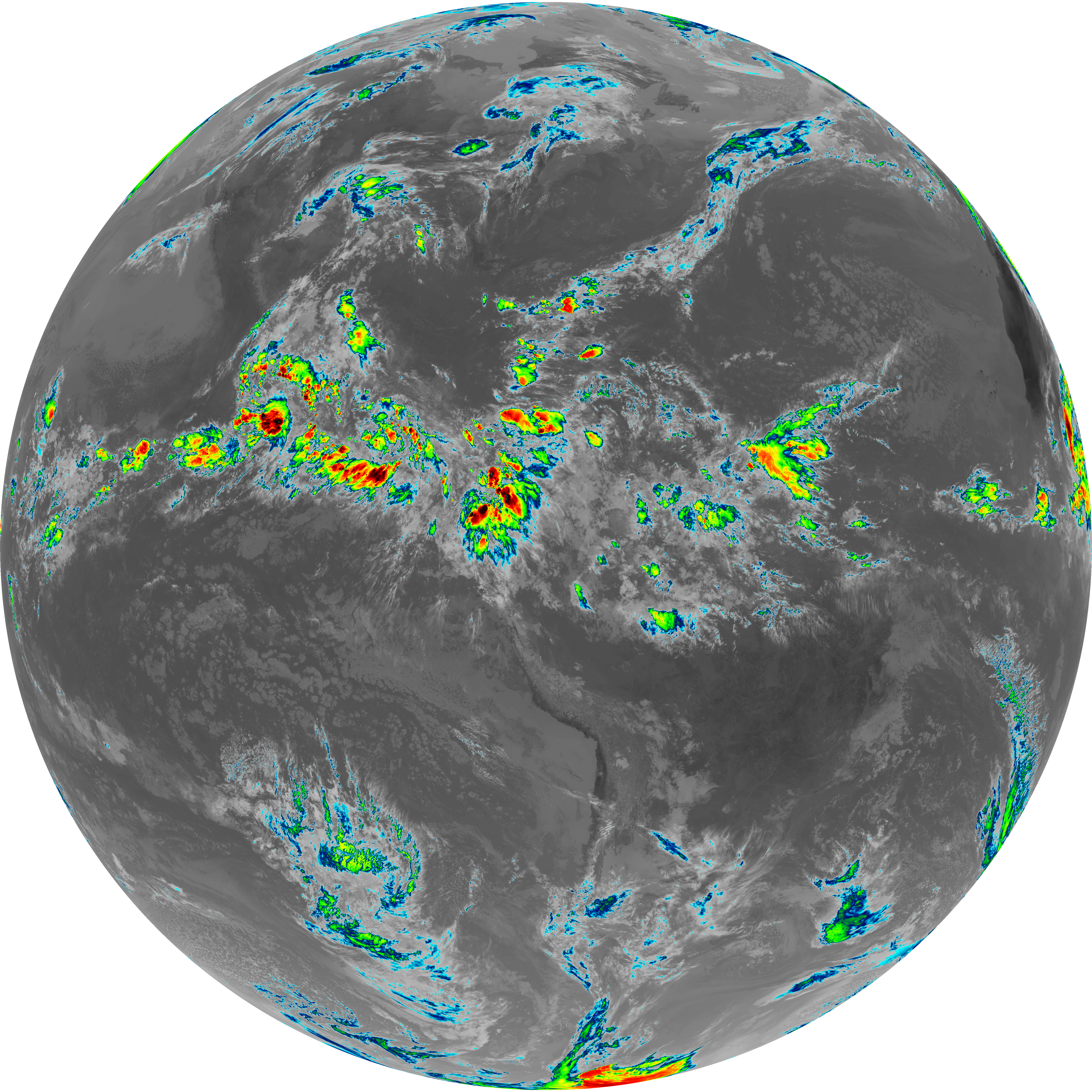
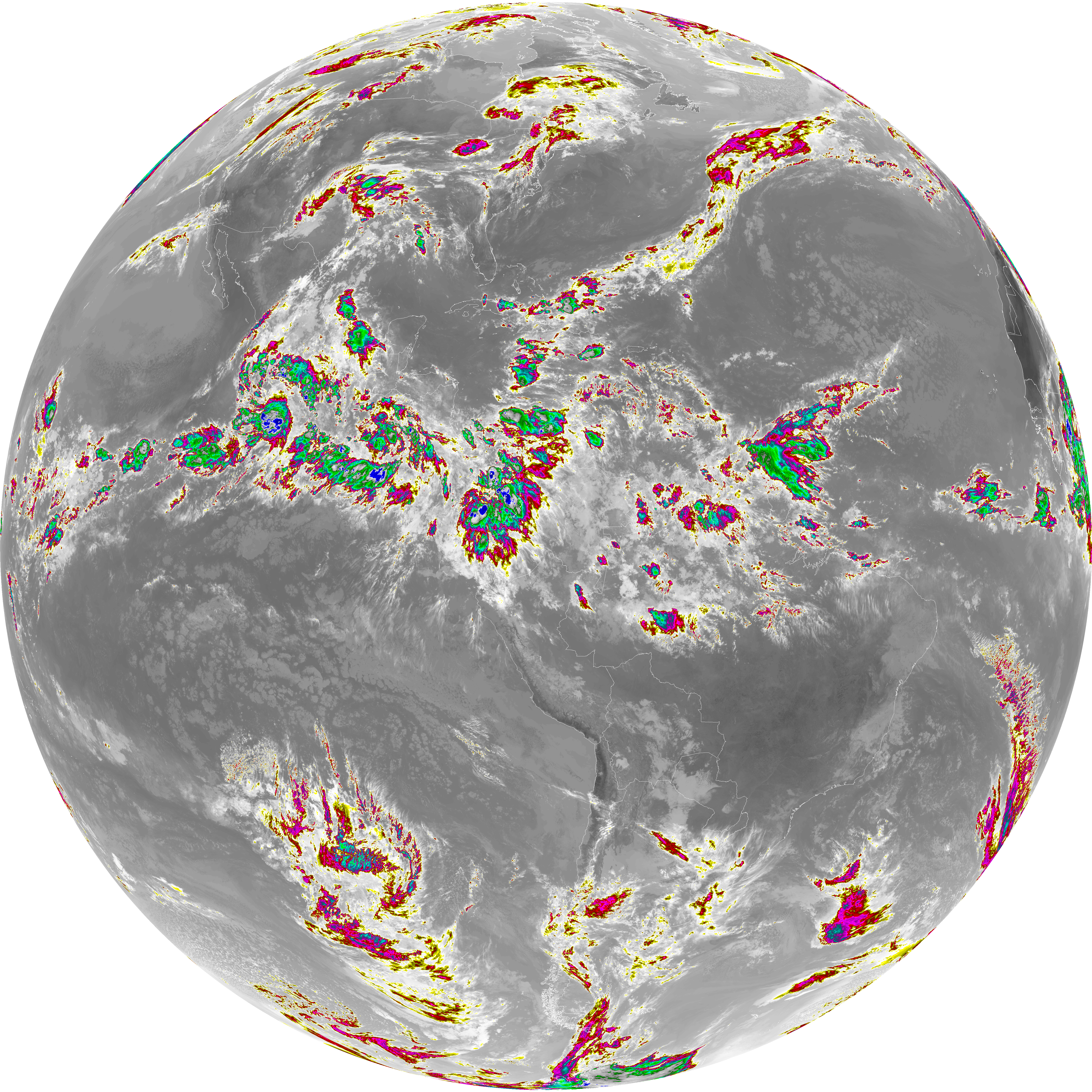
| abi_rgb_Dirty_Longwave_Window_map.png | 14053267 | 2026-Jun-06 14:31 |
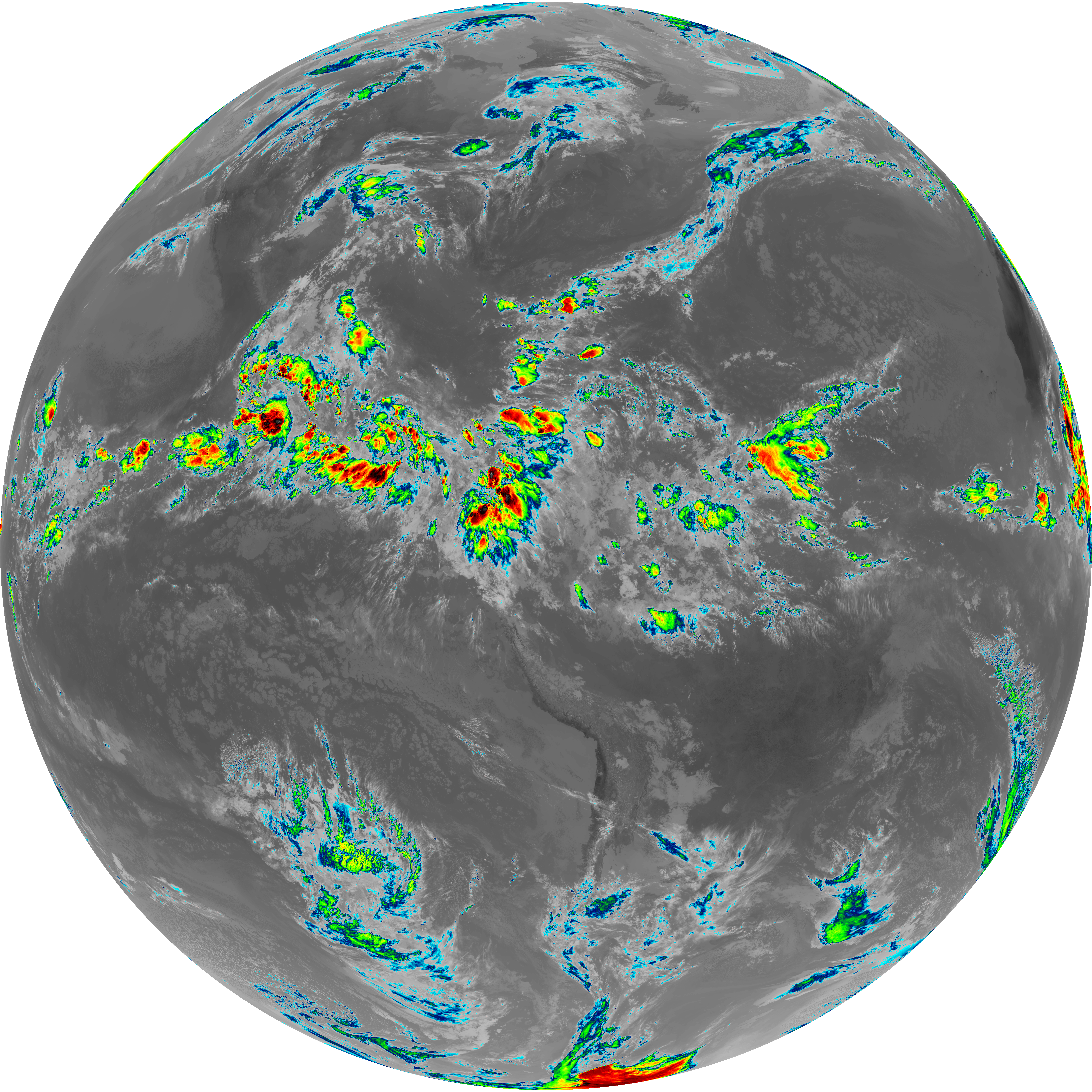
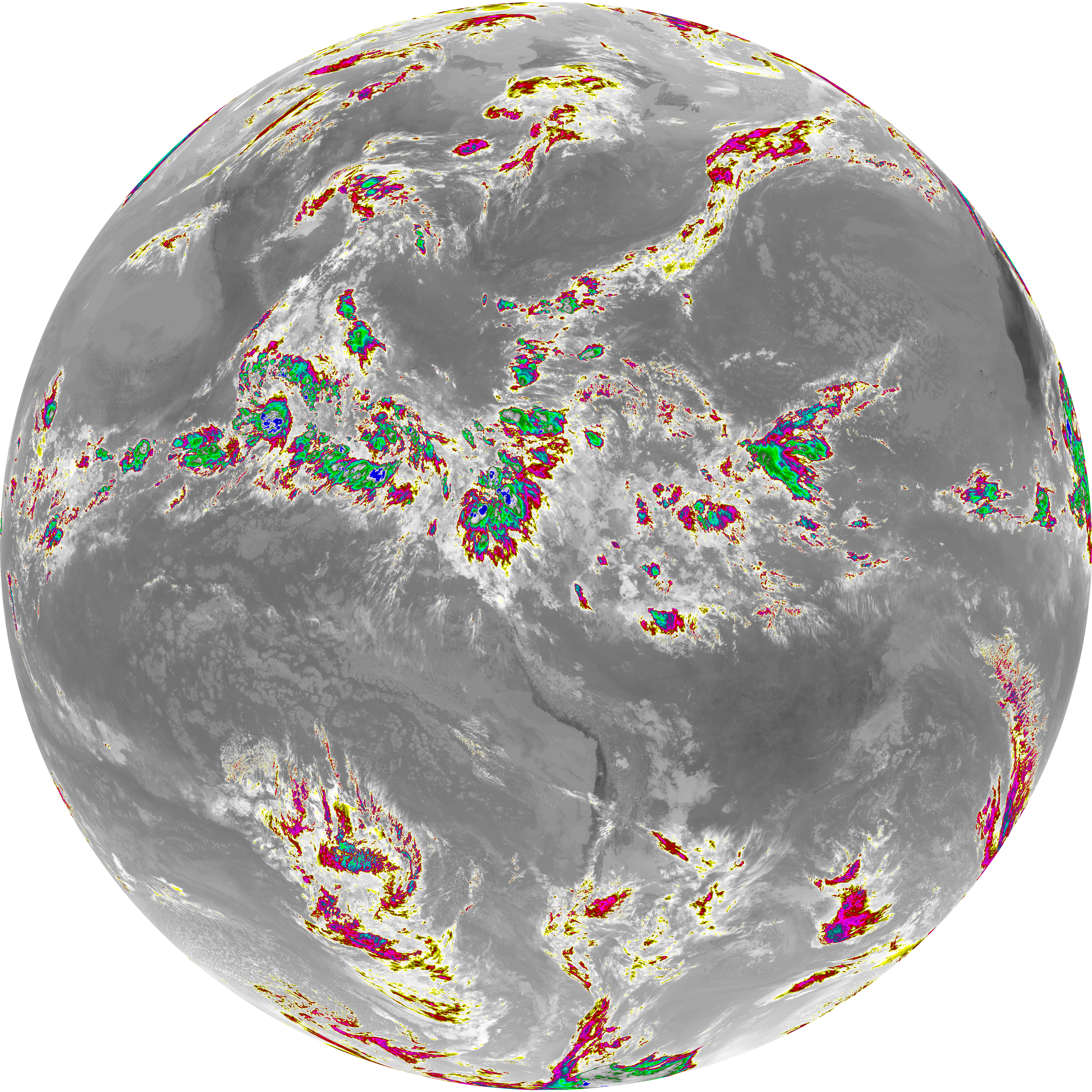
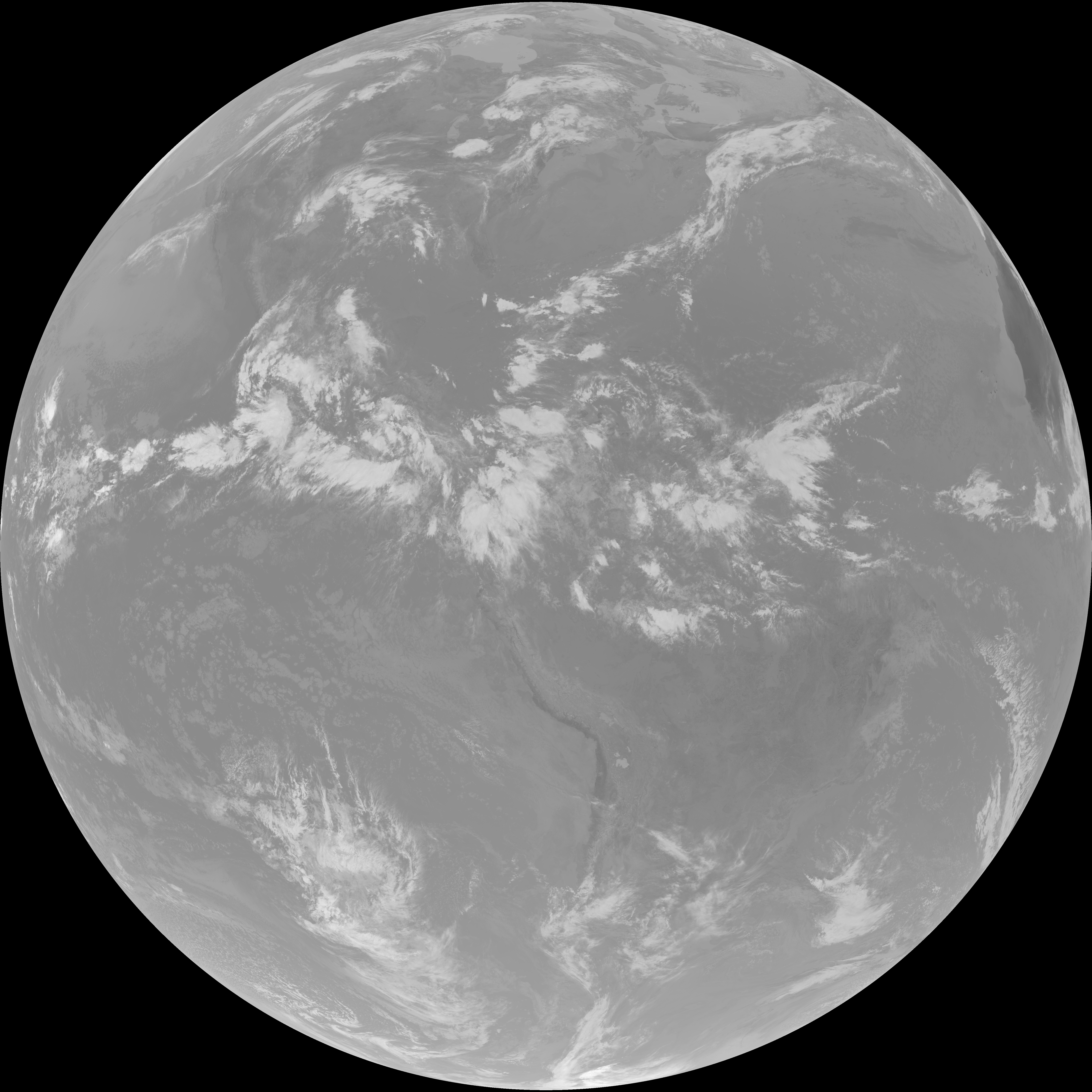
| abi_rgb_Dirty_Longwave_Window.png | 14017895 | 2026-Jun-06 14:31 |
| G19_2_20260606T140021Z.png | 13738887 | 2026-Jun-06 14:21 |
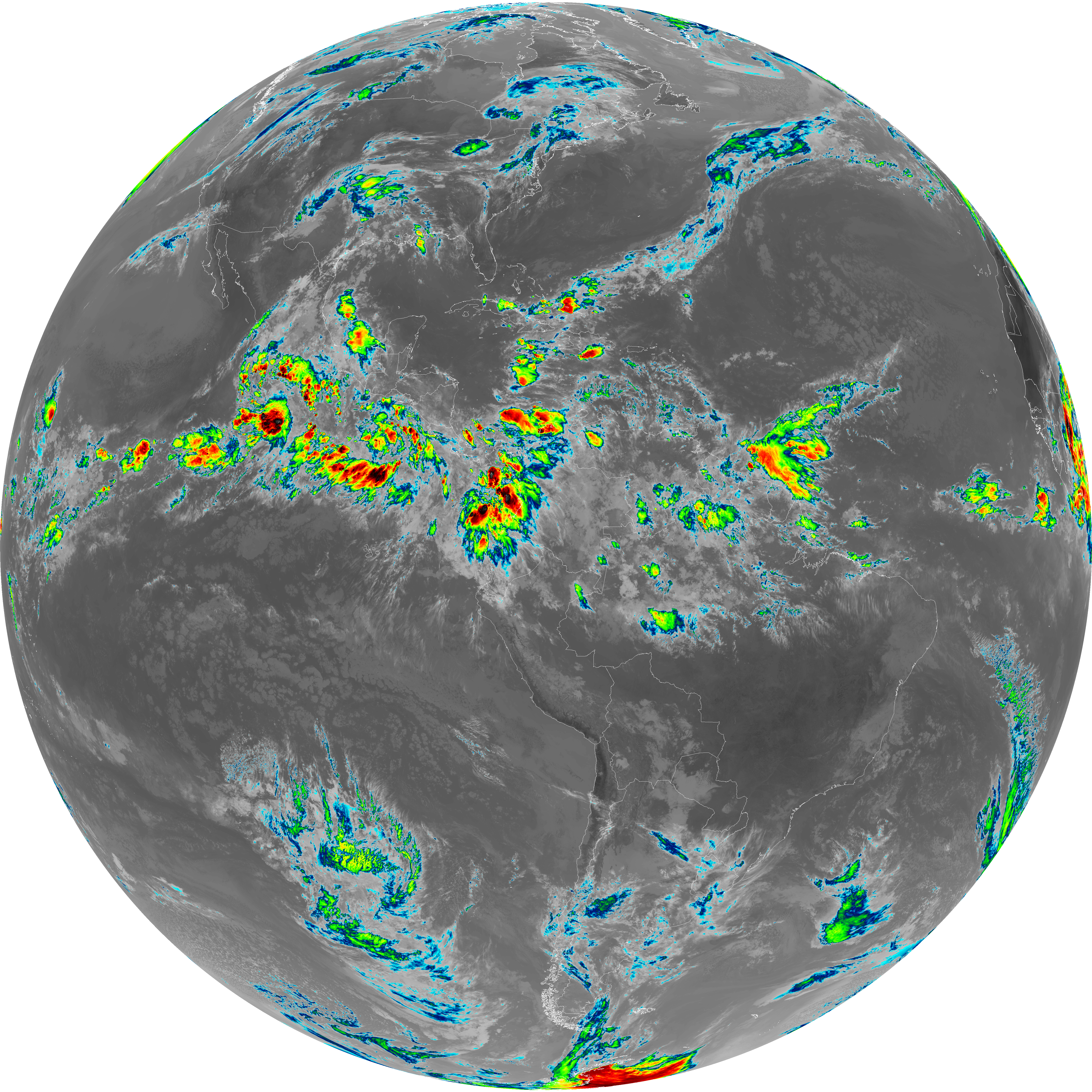
| abi_rgb_Dirty_Longwave_Window_-_CIRA_map.png | 12405902 | 2026-Jun-06 14:31 |
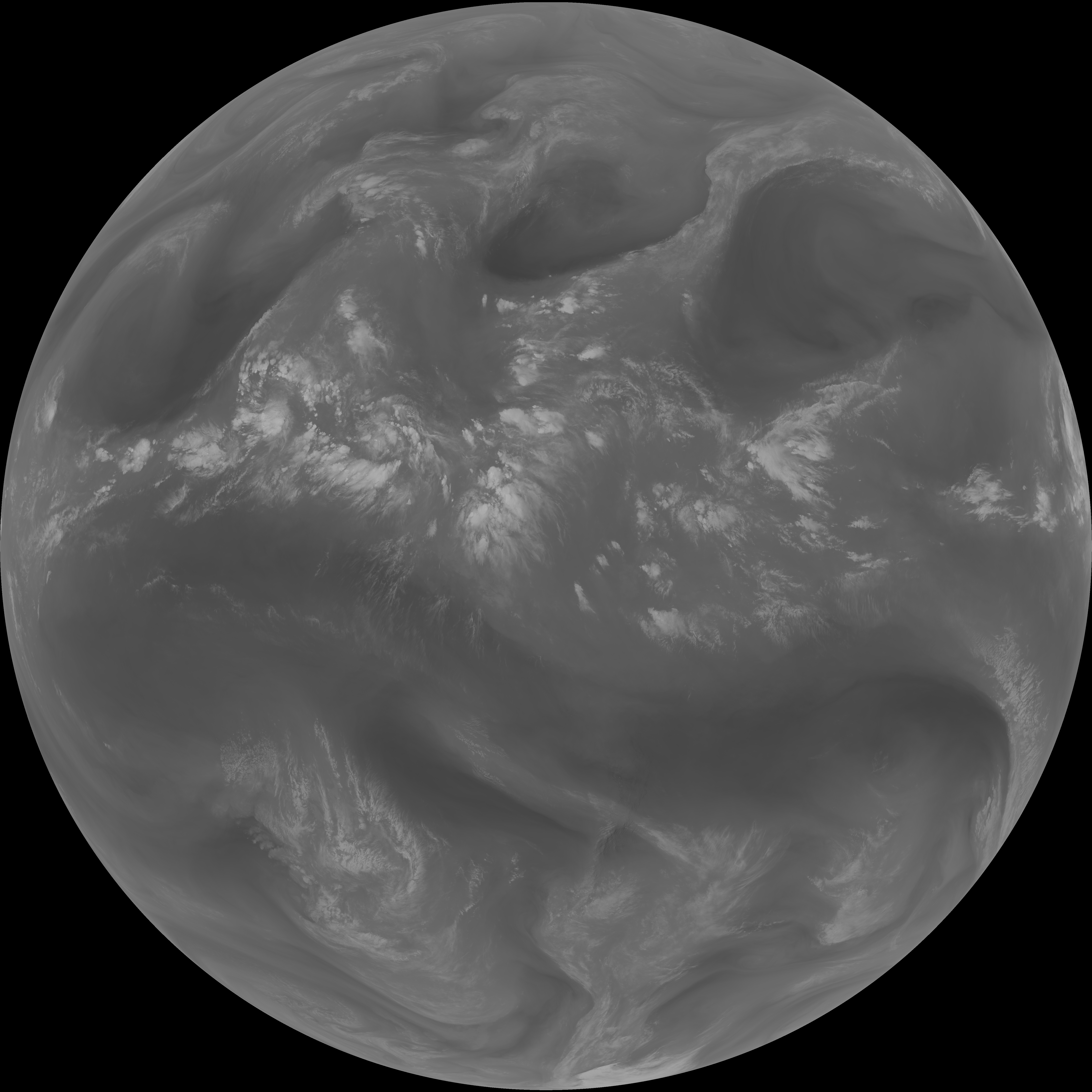
| abi_rgb_Dirty_Longwave_Window_-_CIRA.png | 12357012 | 2026-Jun-06 14:31 |
| G19_14_20260606T140021Z.png | 10704893 | 2026-Jun-06 14:28 |
| G19_13_20260606T140021Z.png | 10559343 | 2026-Jun-06 14:16 |
| G19_15_20260606T140021Z.png | 10425924 | 2026-Jun-06 14:31 |
| G19_7_20260606T140021Z.png | 10364197 | 2026-Jun-06 14:13 |
| abi_rgb_Mid-level_Tropospheric_Water_Vapor_map.png | 8945340 | 2026-Jun-06 14:25 |
| abi_rgb_Mid-level_Tropospheric_Water_Vapor.png | 8846308 | 2026-Jun-06 14:25 |
| abi_rgb_Upper-Level_Tropospheric_Water_Vapor_map.png | 7739703 | 2026-Jun-06 14:23 |
| abi_rgb_Upper-Level_Tropospheric_Water_Vapor.png | 7630344 | 2026-Jun-06 14:23 |
| G19_9_20260606T140021Z.png | 6588791 | 2026-Jun-06 14:25 |
| G19_8_20260606T140021Z.png | 5721276 | 2026-Jun-06 14:23 |