| Parent directory/ | - | - |
| G19_7_20260606T143021Z.png | 10342056 | 2026-Jun-06 14:43 |
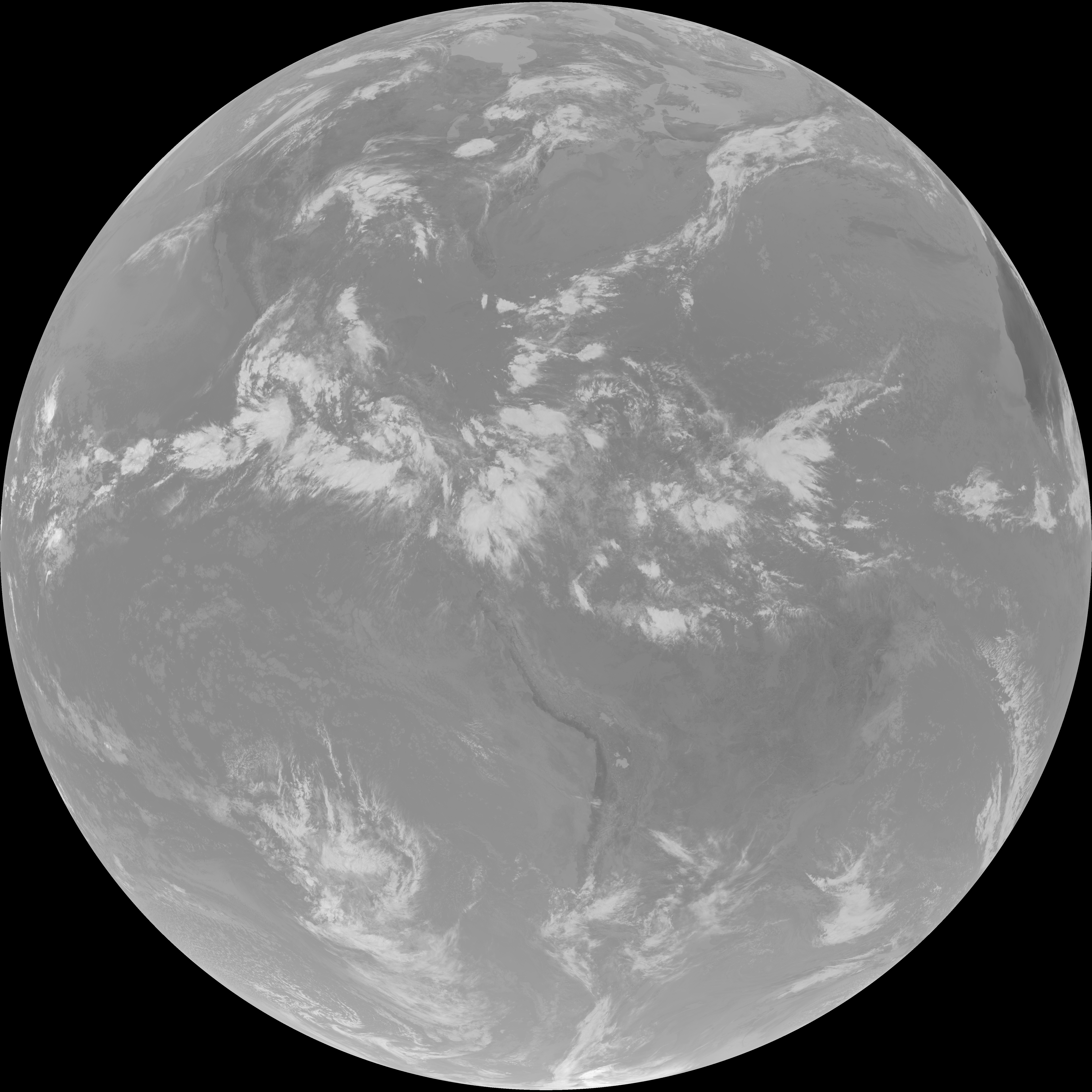
| abi_rgb_Shortwave_Window_Band.png | 14169013 | 2026-Jun-06 14:43 |
| abi_rgb_Shortwave_Window_Band_map.png | 14220659 | 2026-Jun-06 14:43 |
| G19_13_20260606T143021Z.png | 10635336 | 2026-Jun-06 14:46 |
| abi_rgb_Clean_Longwave_IR_Window_Band.png | 14260870 | 2026-Jun-06 14:46 |
| abi_rgb_Clean_Longwave_IR_Window_Band_map.png | 14290368 | 2026-Jun-06 14:46 |
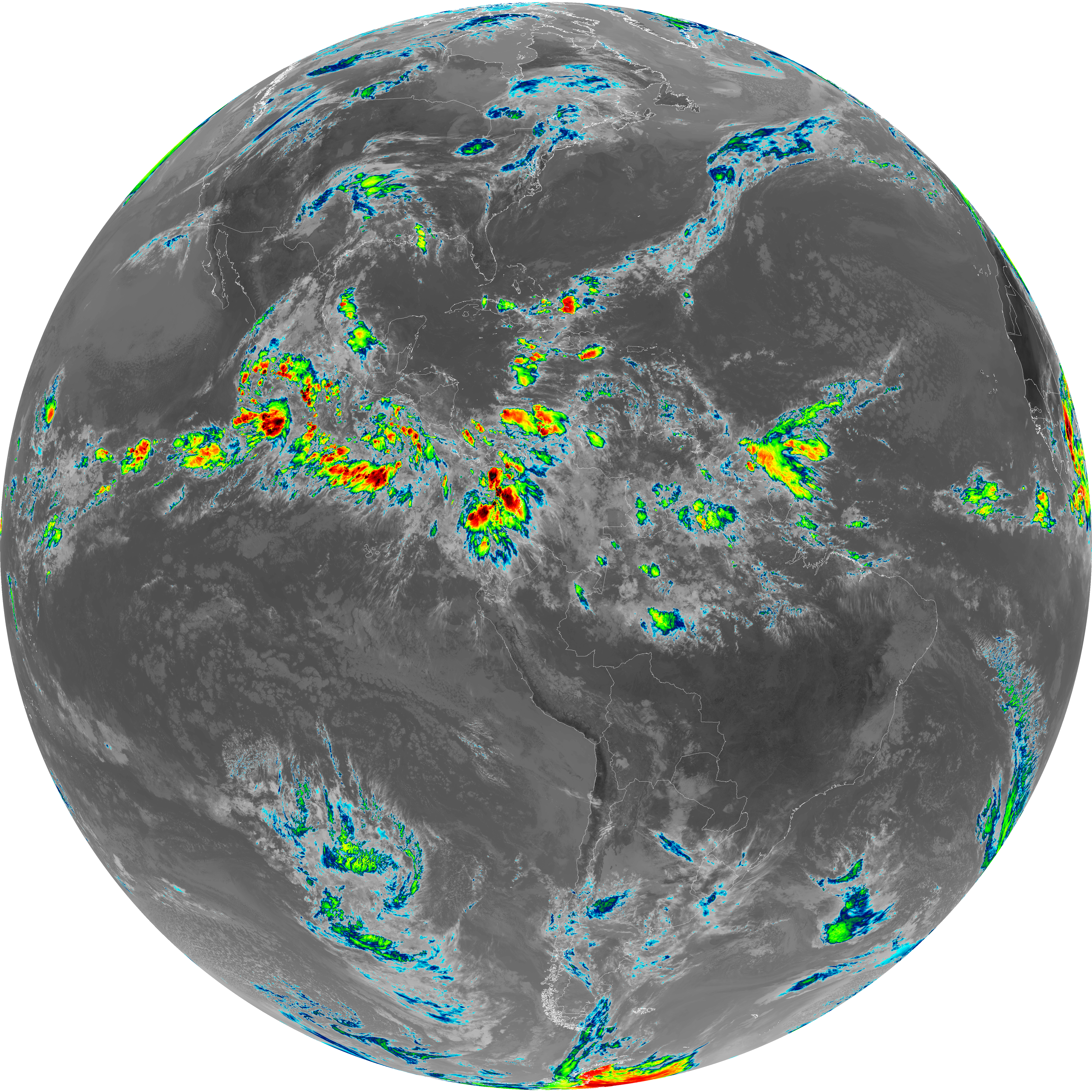
| G19_2_20260606T143021Z.png | 14714471 | 2026-Jun-06 14:51 |
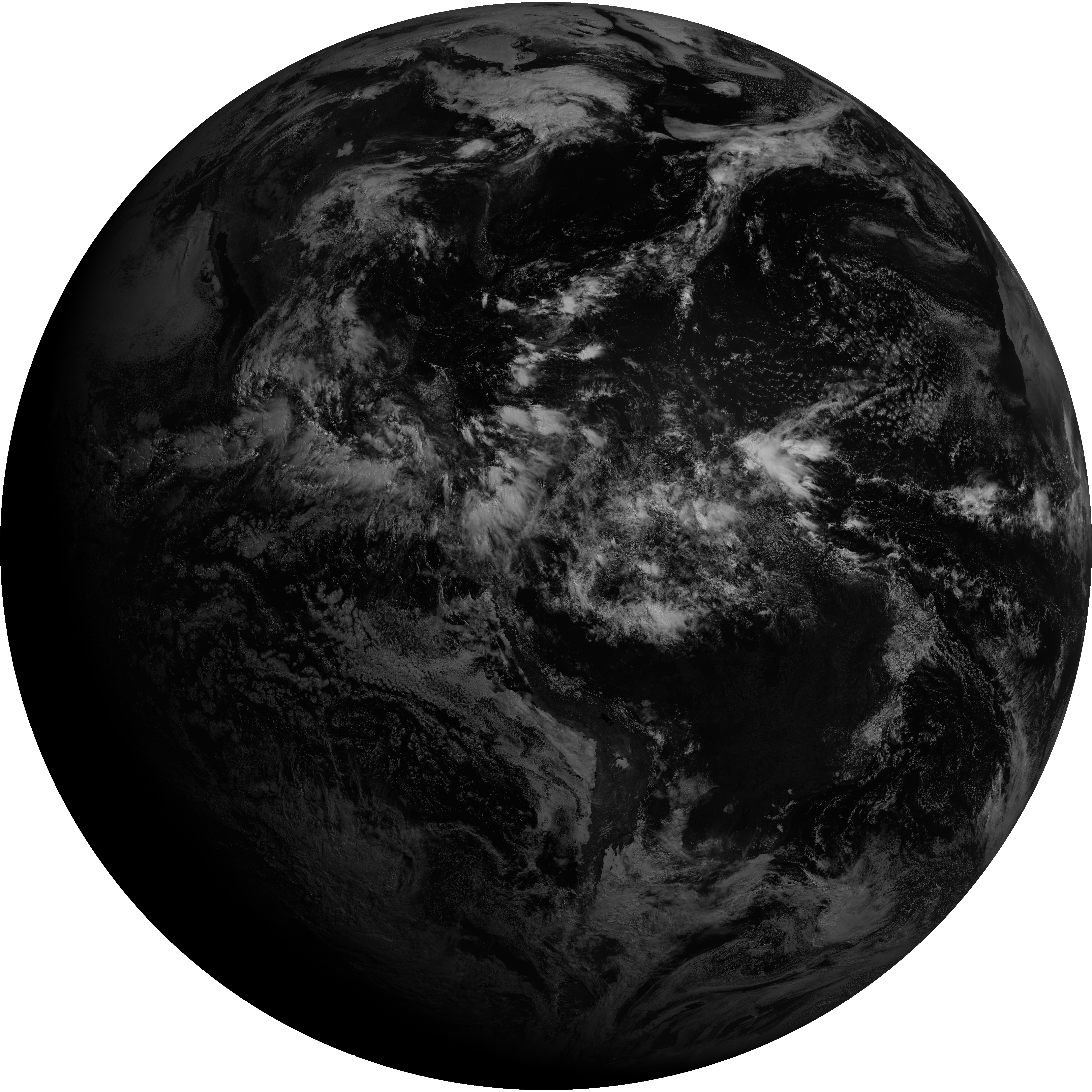
| G19_8_20260606T143021Z.png | 5743436 | 2026-Jun-06 14:53 |
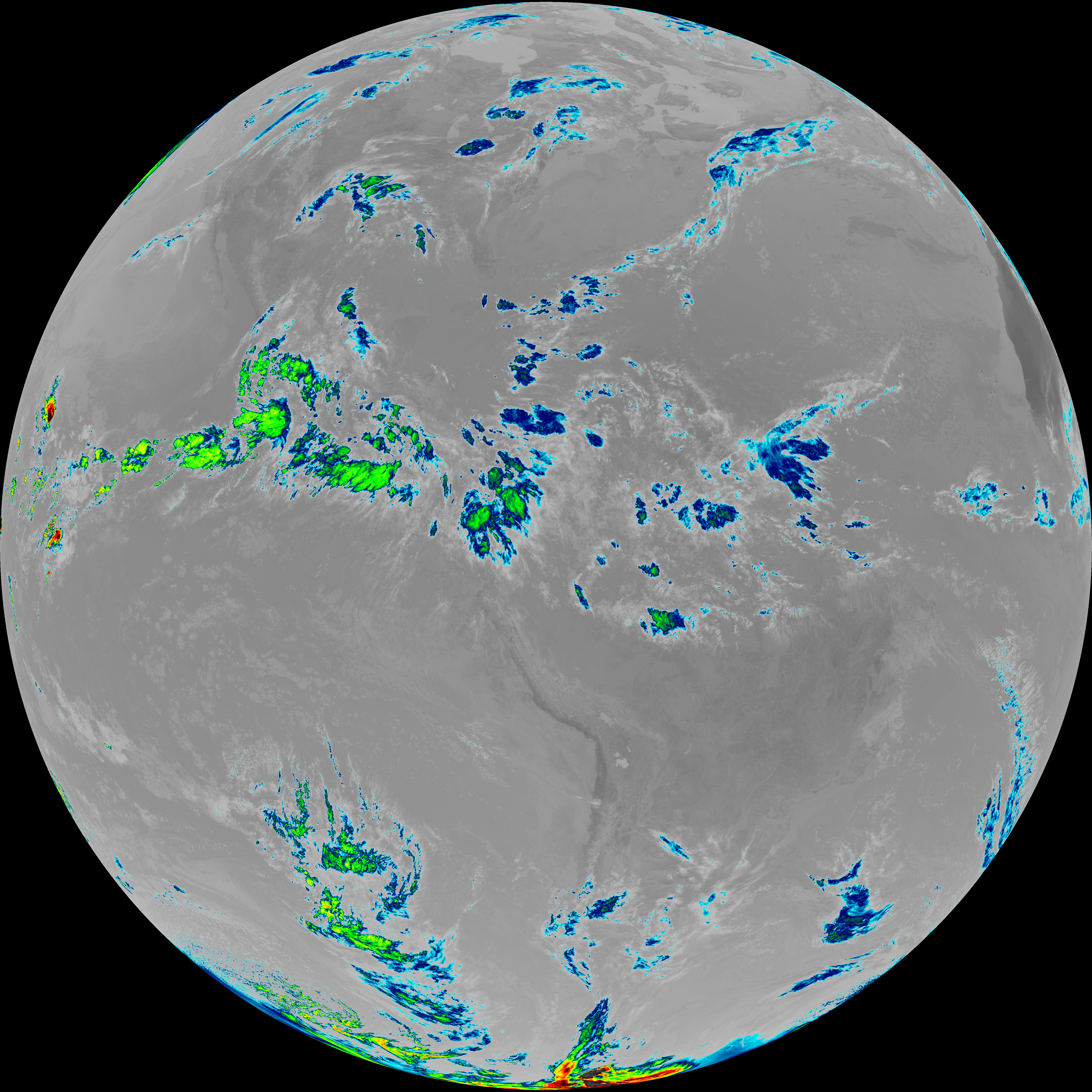
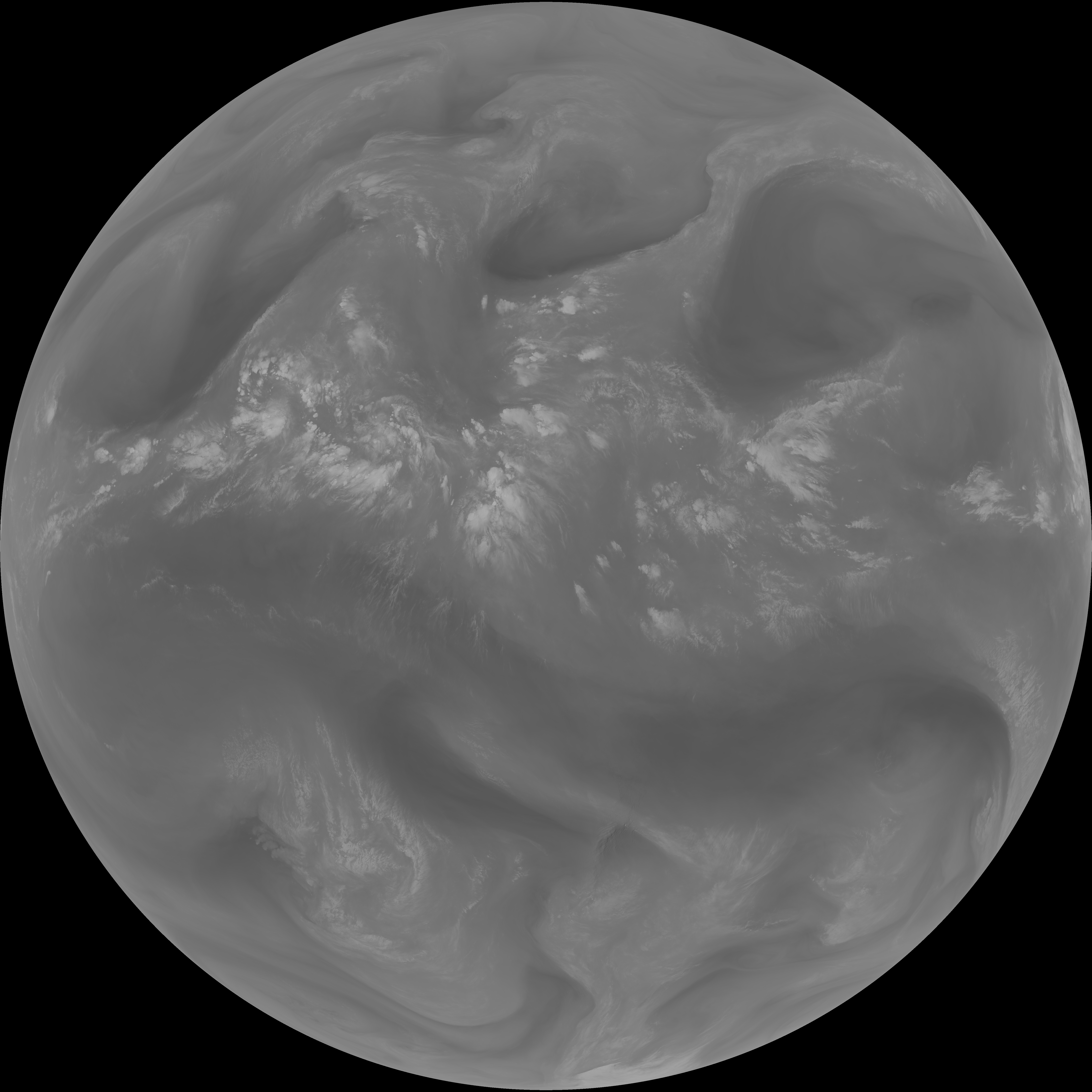
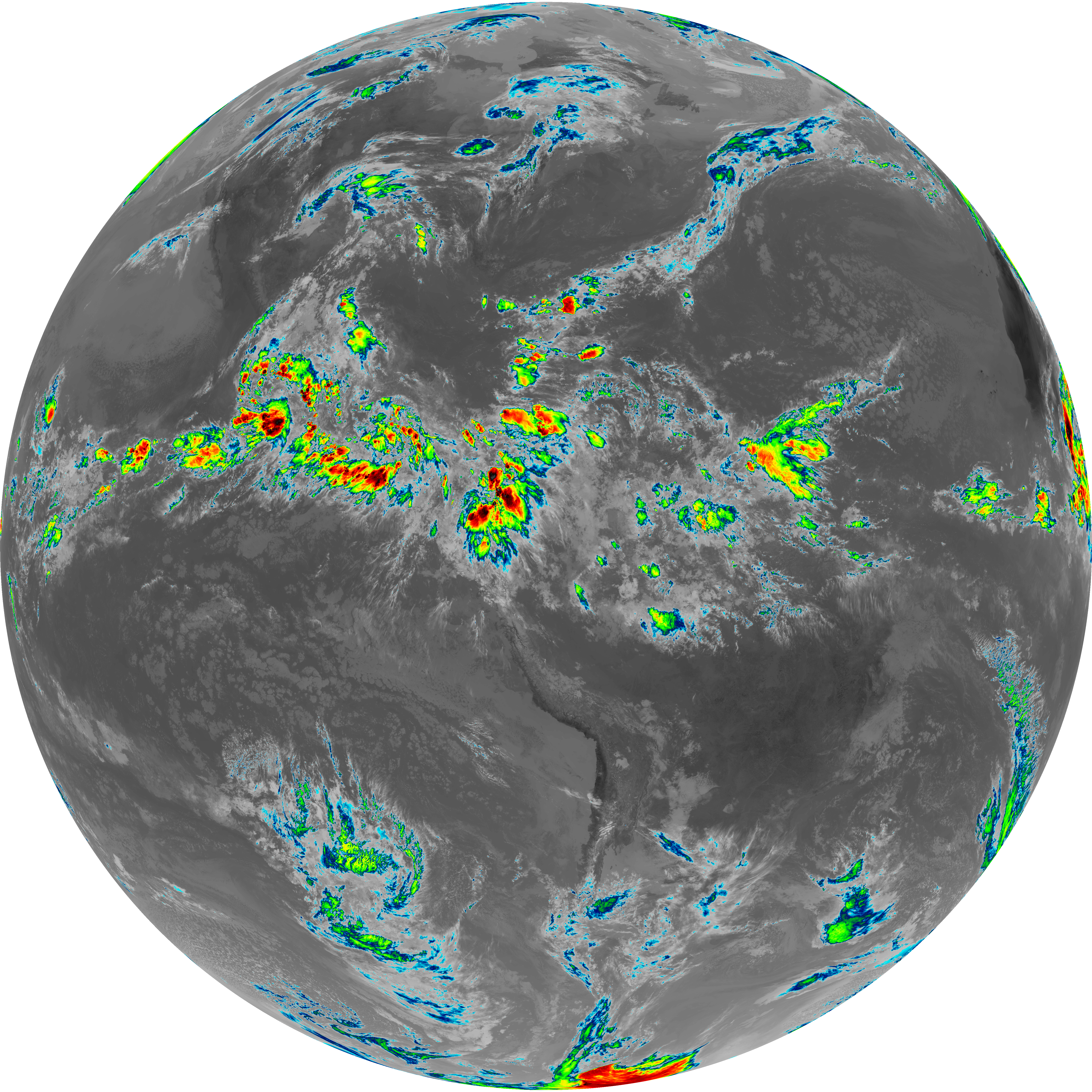
| abi_rgb_Upper-Level_Tropospheric_Water_Vapor.png | 7658927 | 2026-Jun-06 14:53 |
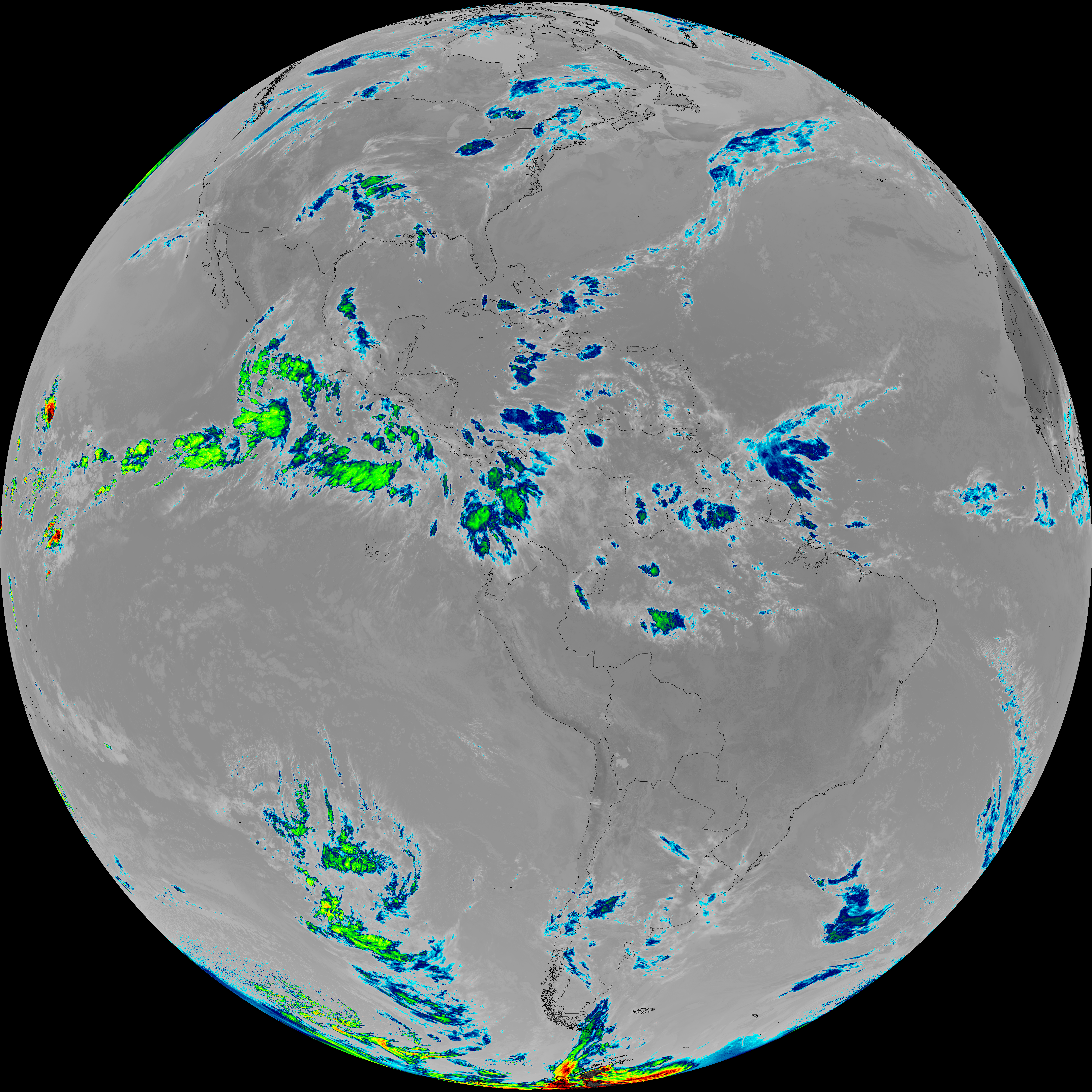
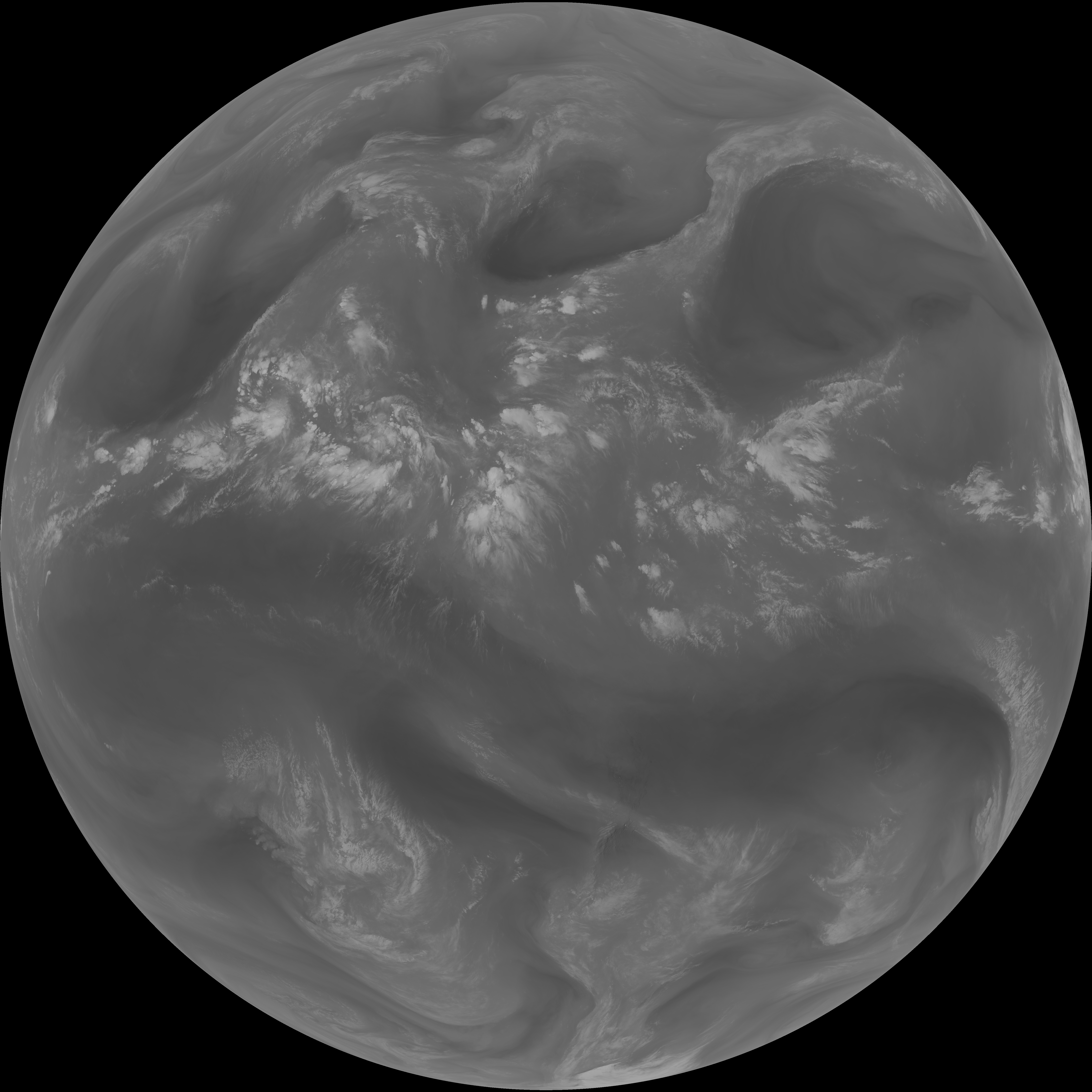
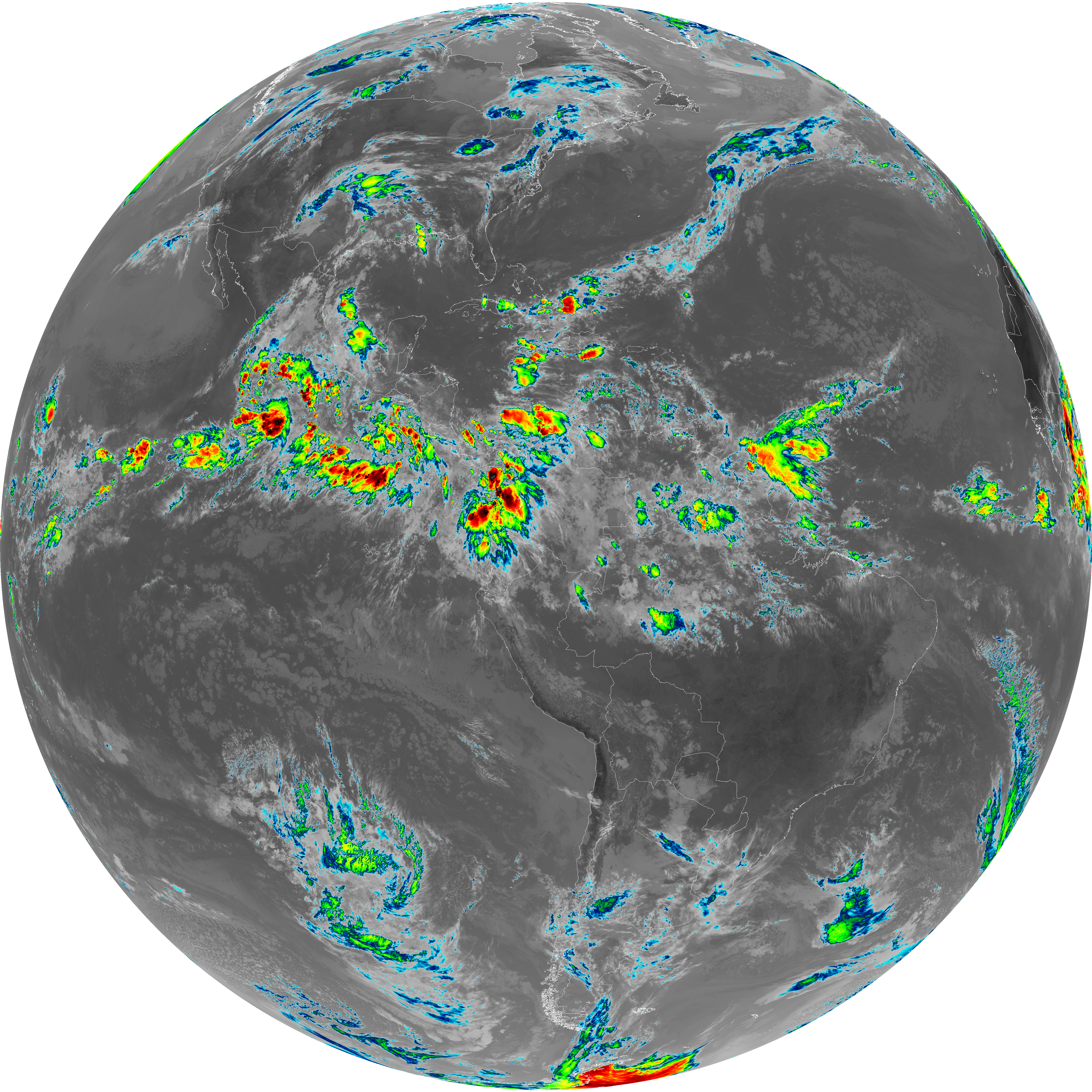
| abi_rgb_Upper-Level_Tropospheric_Water_Vapor_map.png | 7767274 | 2026-Jun-06 14:53 |
| G19_9_20260606T143021Z.png | 6620946 | 2026-Jun-06 14:55 |
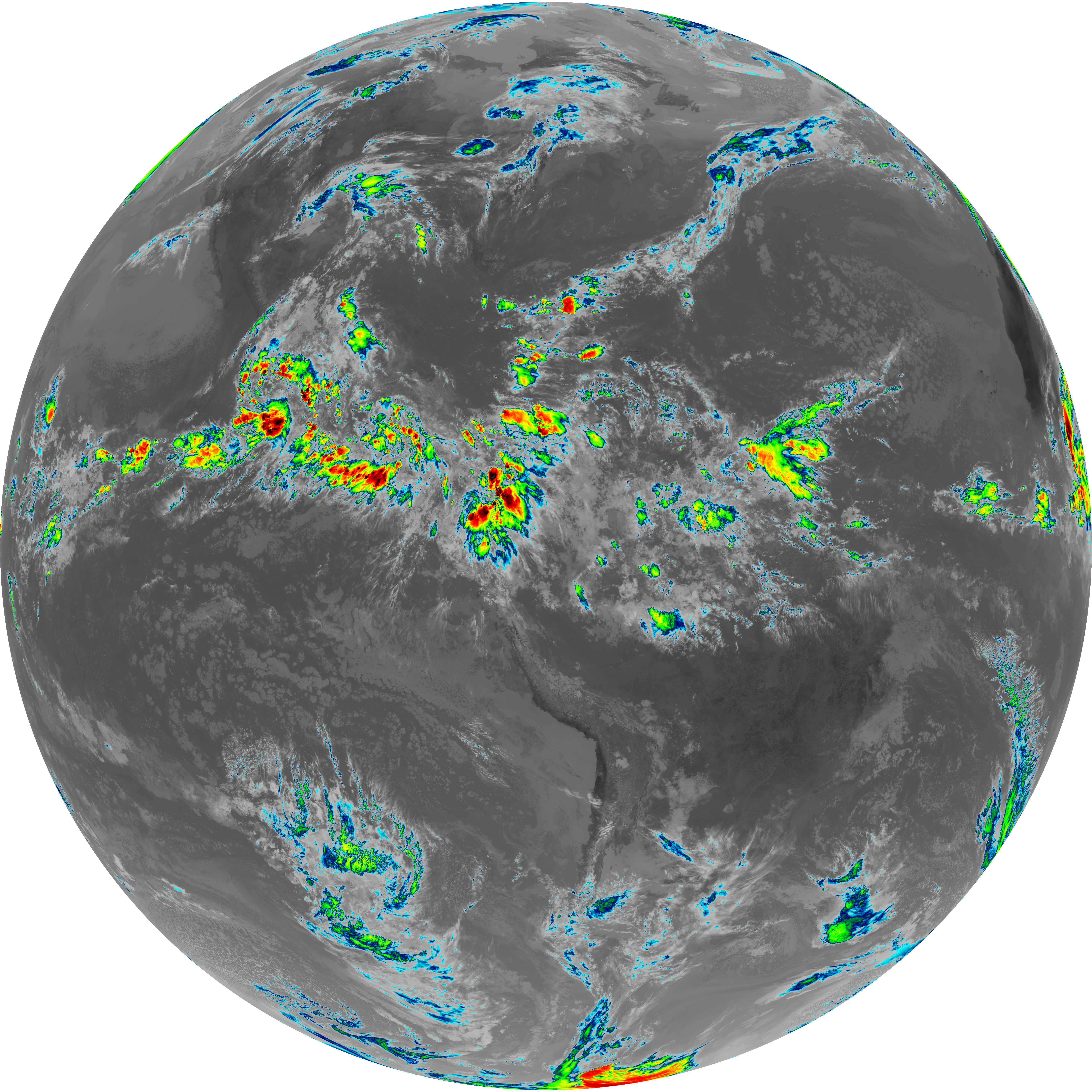
| abi_rgb_Mid-level_Tropospheric_Water_Vapor.png | 8885198 | 2026-Jun-06 14:55 |
| abi_rgb_Mid-level_Tropospheric_Water_Vapor_map.png | 8983299 | 2026-Jun-06 14:55 |
| G19_14_20260606T143021Z.png | 10780222 | 2026-Jun-06 14:58 |
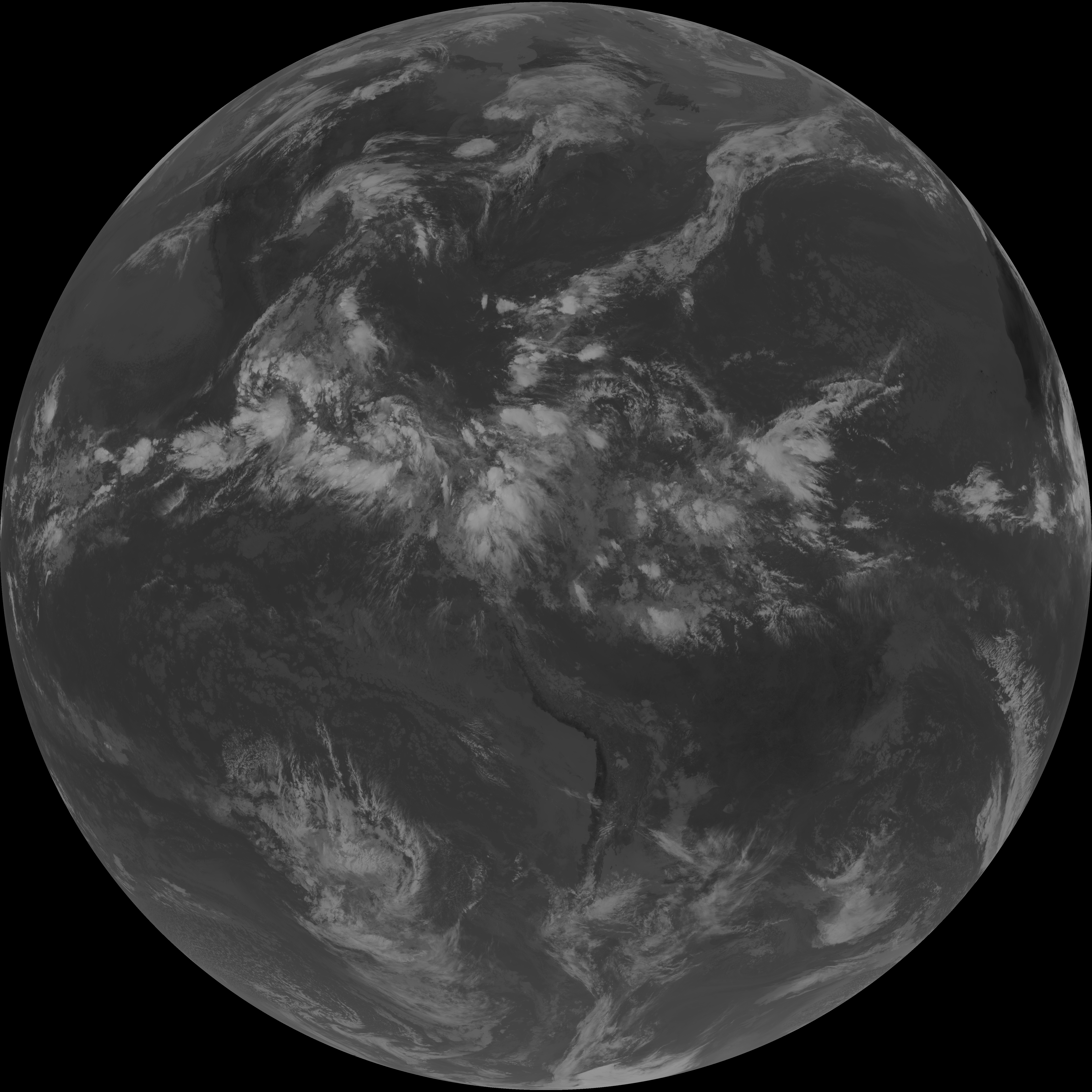
| abi_rgb_Infrared_Longwave_Window_Band.png | 14436243 | 2026-Jun-06 14:58 |
| abi_rgb_Infrared_Longwave_Window_Band_map.png | 14464329 | 2026-Jun-06 14:58 |
| G19_15_20260606T143021Z.png | 10495769 | 2026-Jun-06 15:00 |
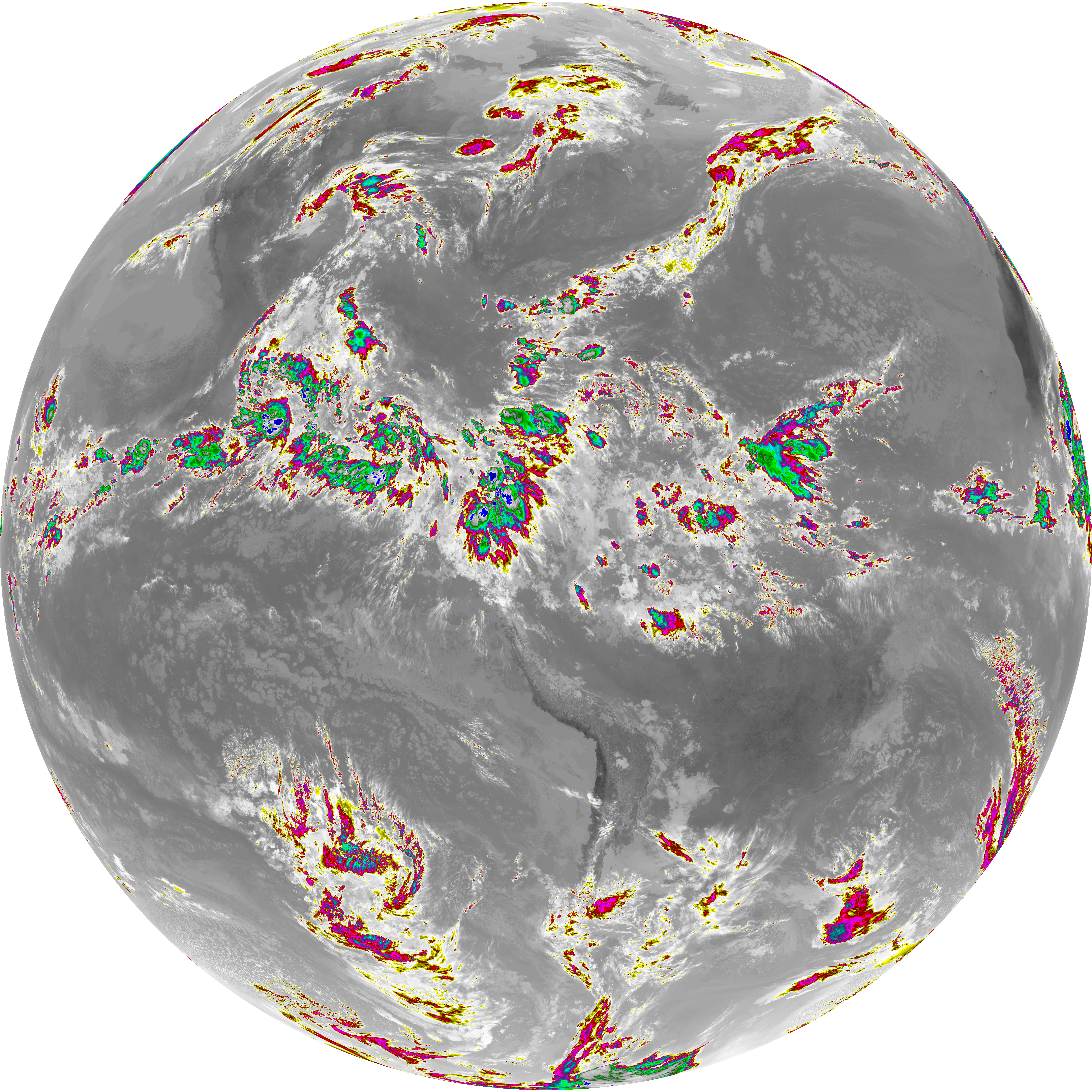
| abi_rgb_Dirty_Longwave_Window.png | 14107618 | 2026-Jun-06 15:01 |
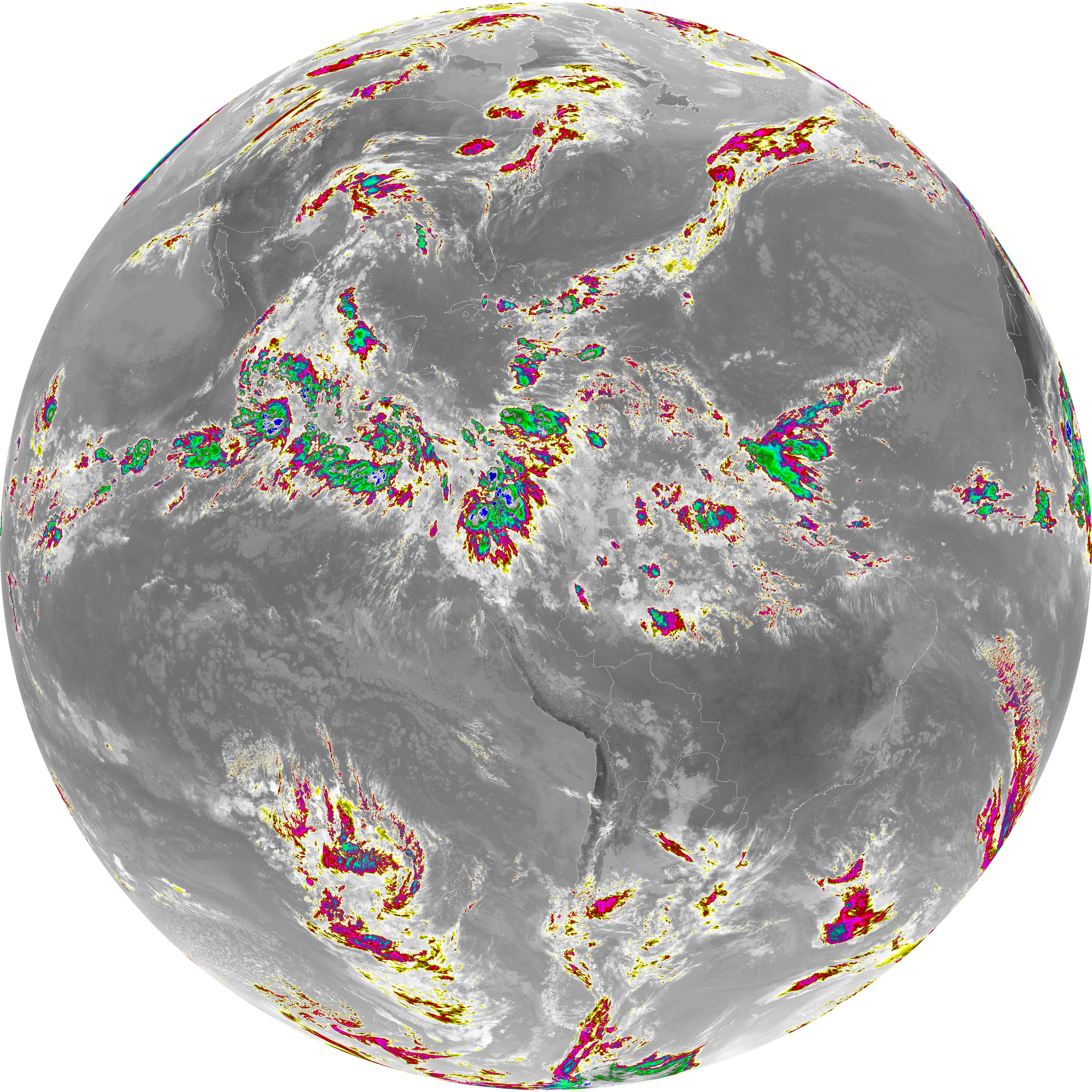
| abi_rgb_Dirty_Longwave_Window_map.png | 14140015 | 2026-Jun-06 15:01 |
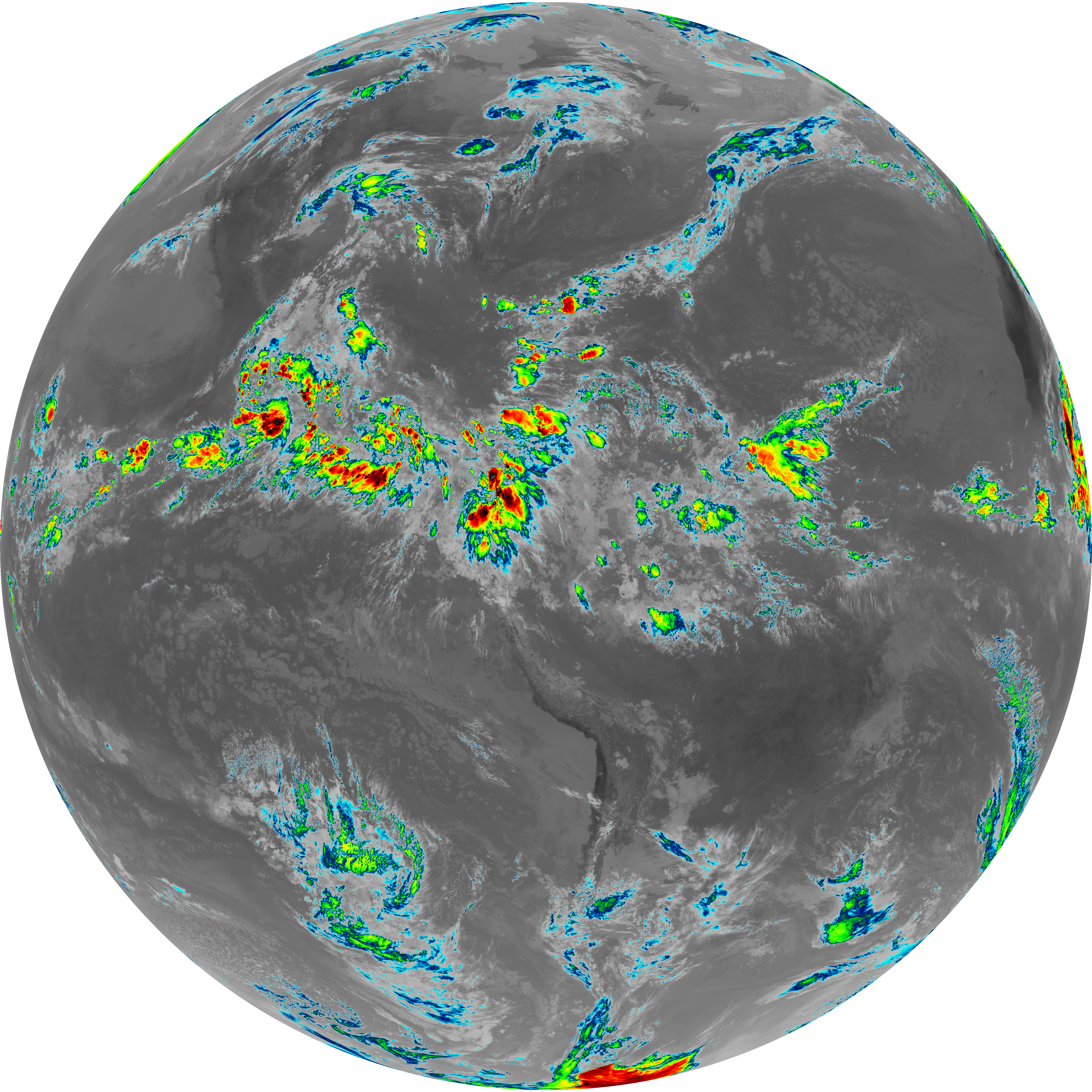
| abi_rgb_Dirty_Longwave_Window_-_CIRA.png | 12443657 | 2026-Jun-06 15:01 |
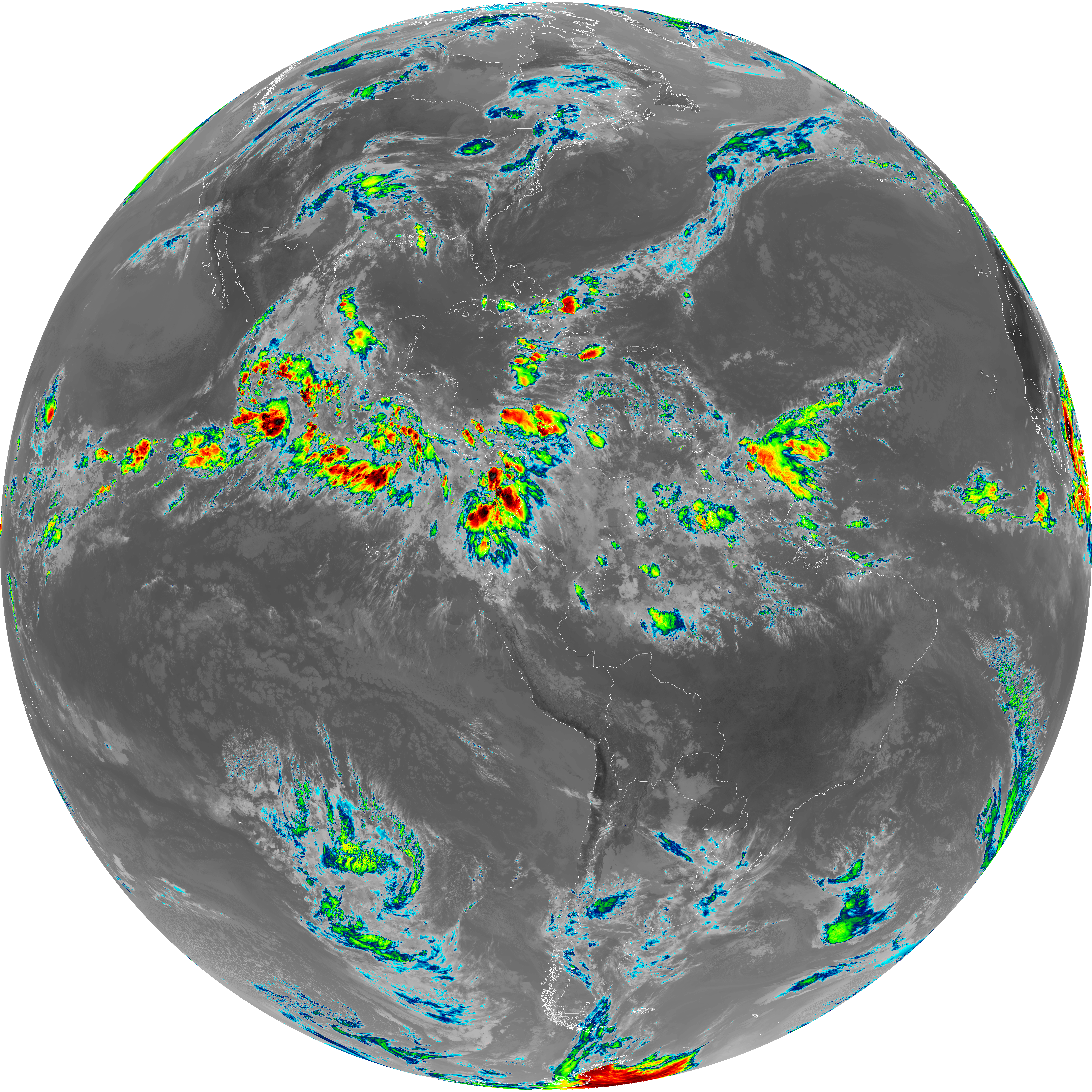
| abi_rgb_Dirty_Longwave_Window_-_CIRA_map.png | 12490100 | 2026-Jun-06 15:01 |