| Parent directory/ | - | - |
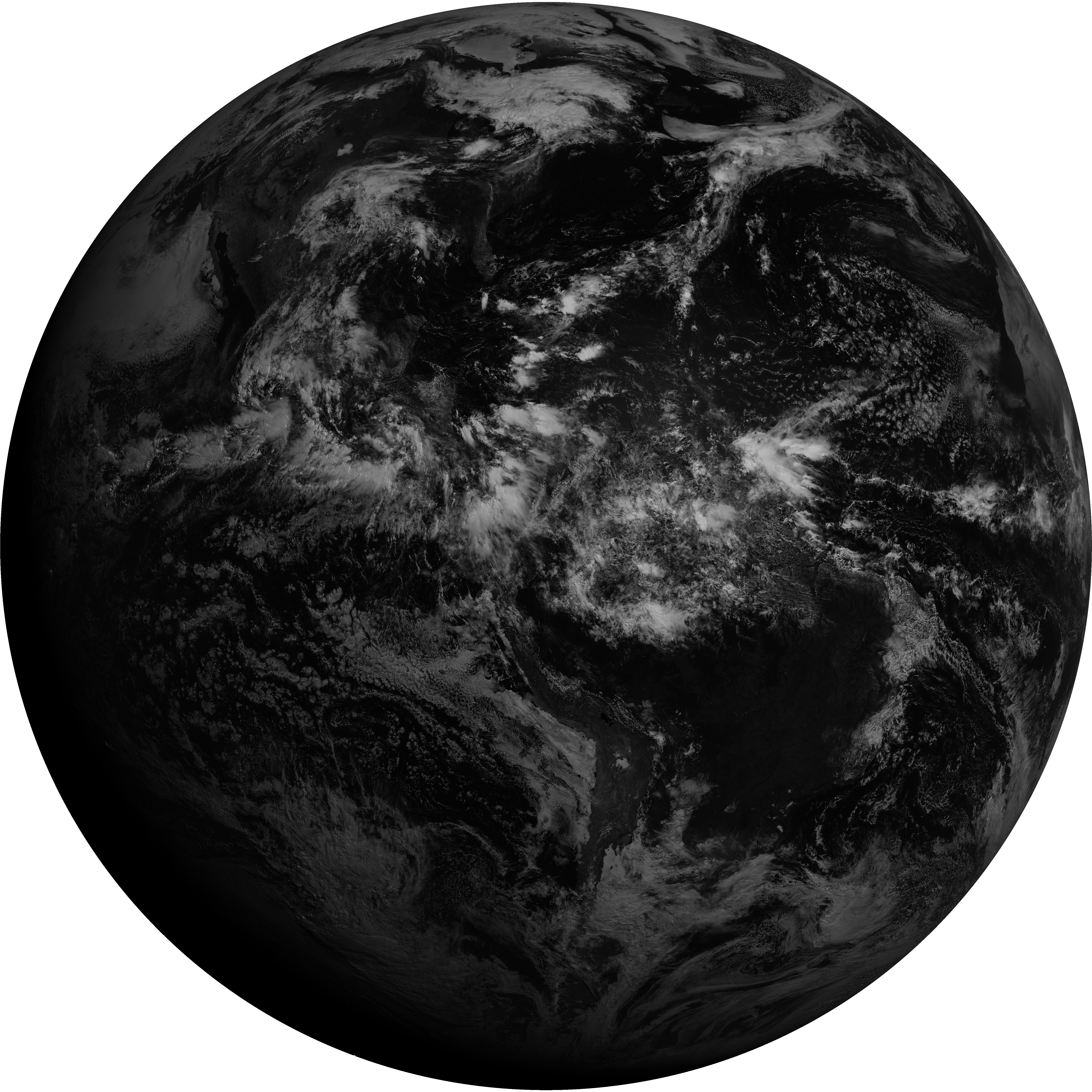
| G19_2_20260606T150021Z.png | 15491611 | 2026-Jun-06 15:21 |
| abi_rgb_Infrared_Longwave_Window_Band_map.png | 14550780 | 2026-Jun-06 15:29 |
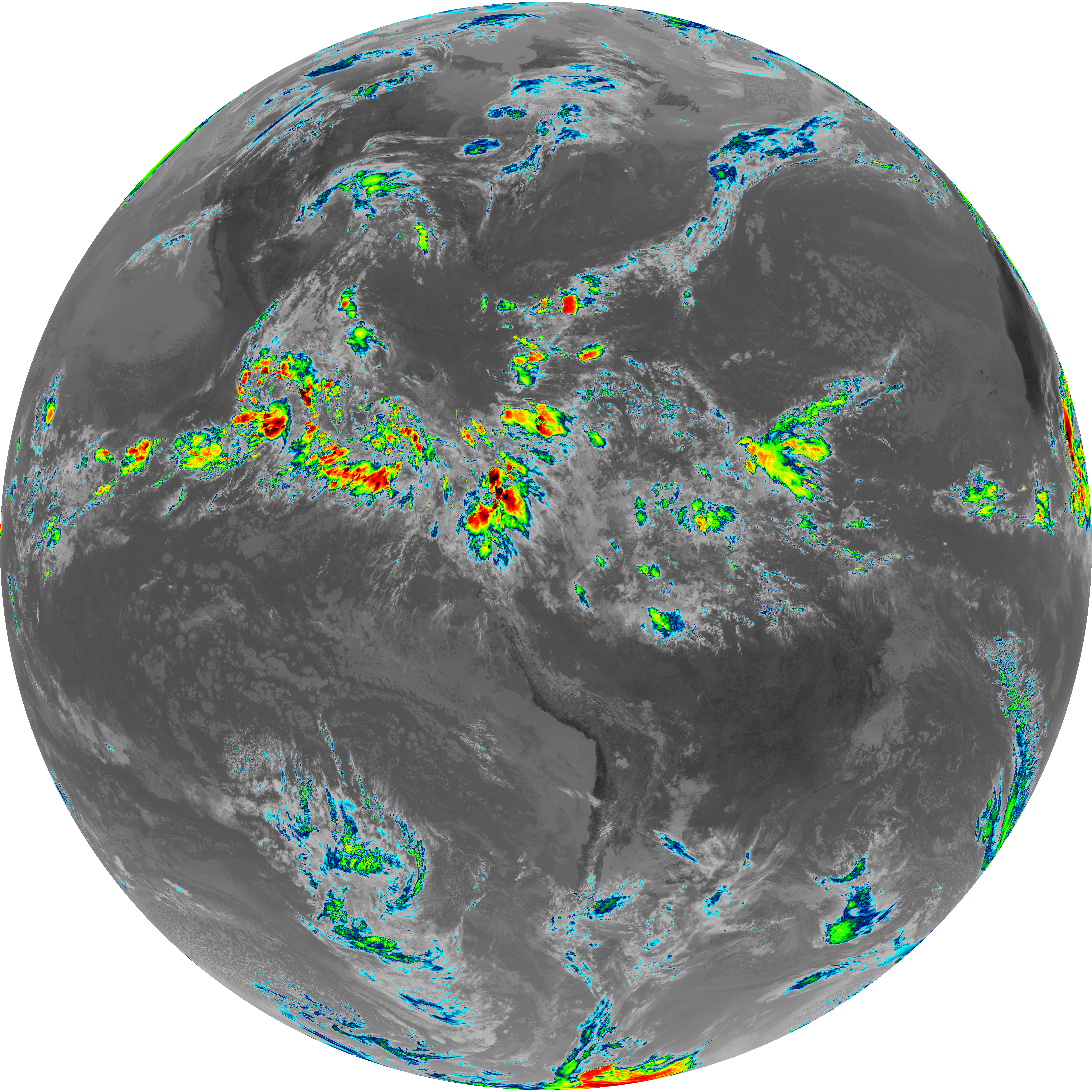
| abi_rgb_Infrared_Longwave_Window_Band.png | 14524790 | 2026-Jun-06 15:29 |
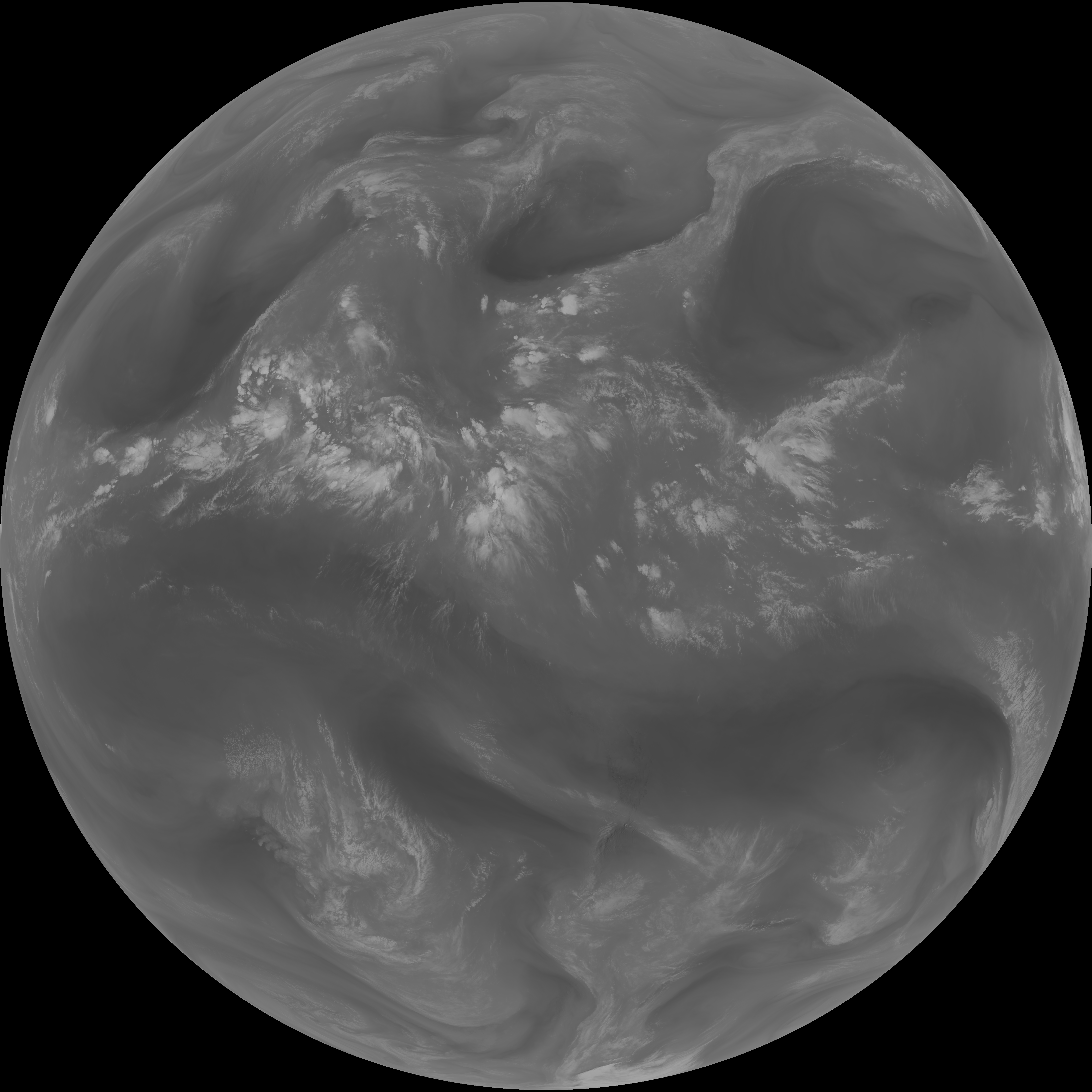
| abi_rgb_Clean_Longwave_IR_Window_Band_map.png | 14386096 | 2026-Jun-06 15:16 |
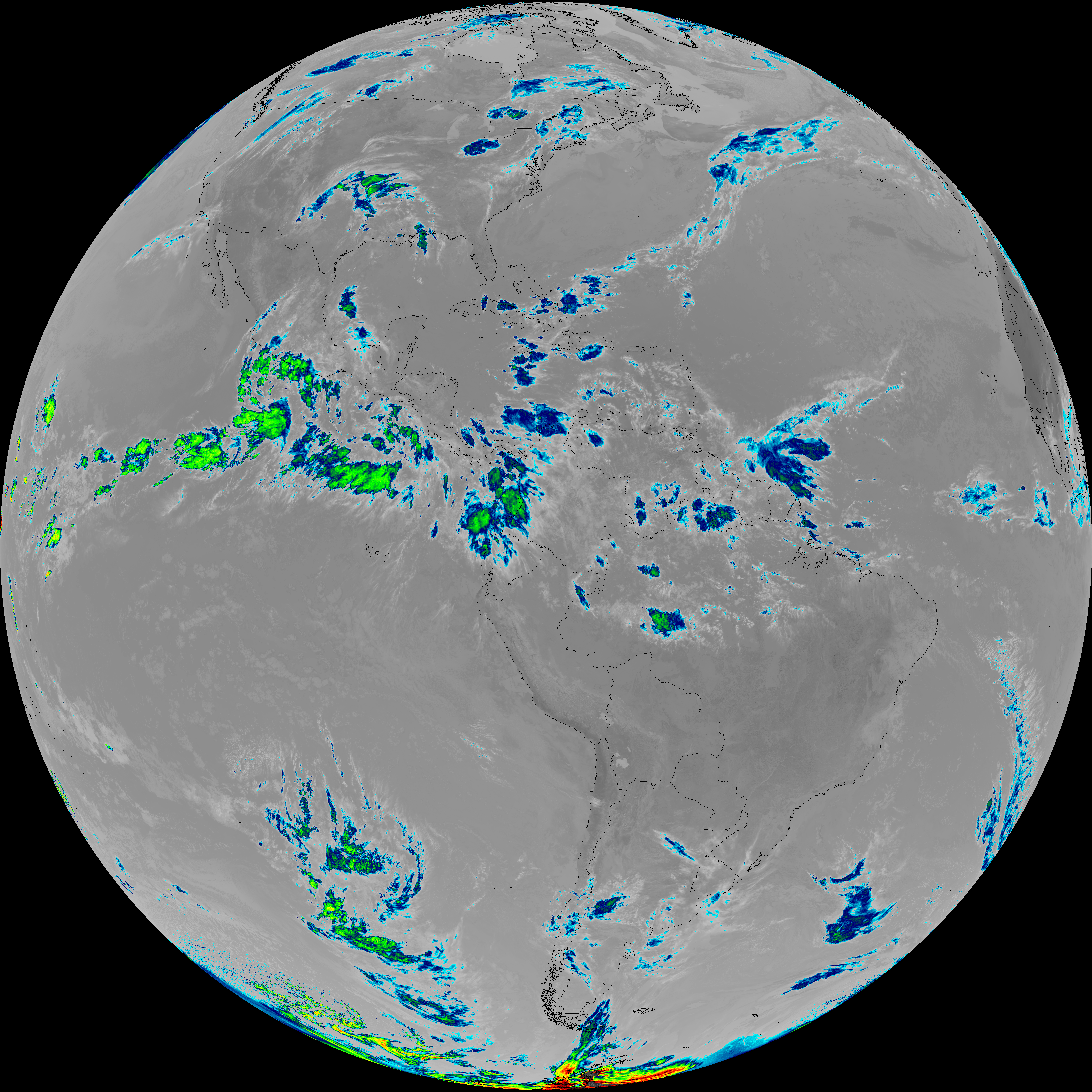
| abi_rgb_Clean_Longwave_IR_Window_Band.png | 14359030 | 2026-Jun-06 15:16 |
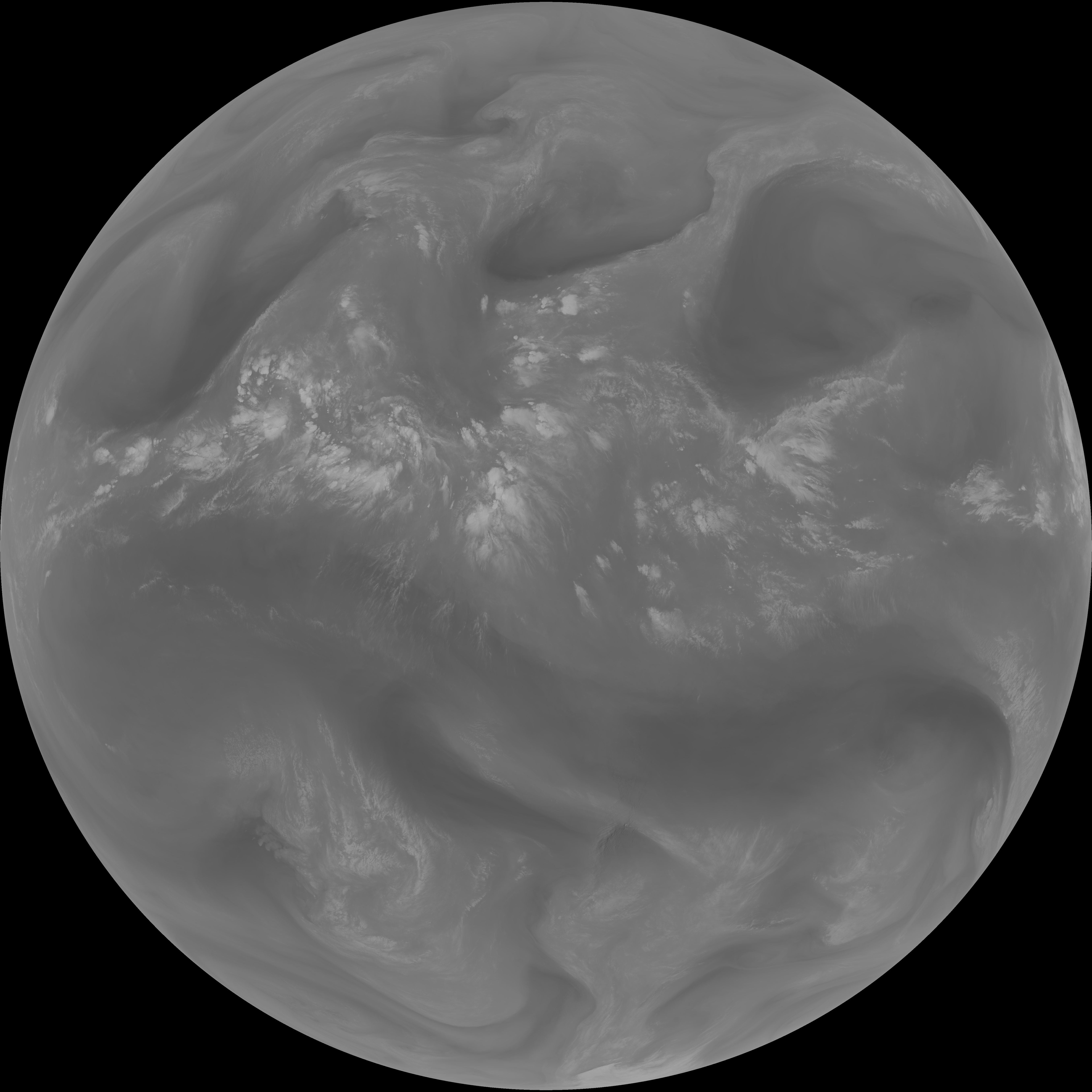
| abi_rgb_Shortwave_Window_Band_map.png | 14243043 | 2026-Jun-06 15:13 |
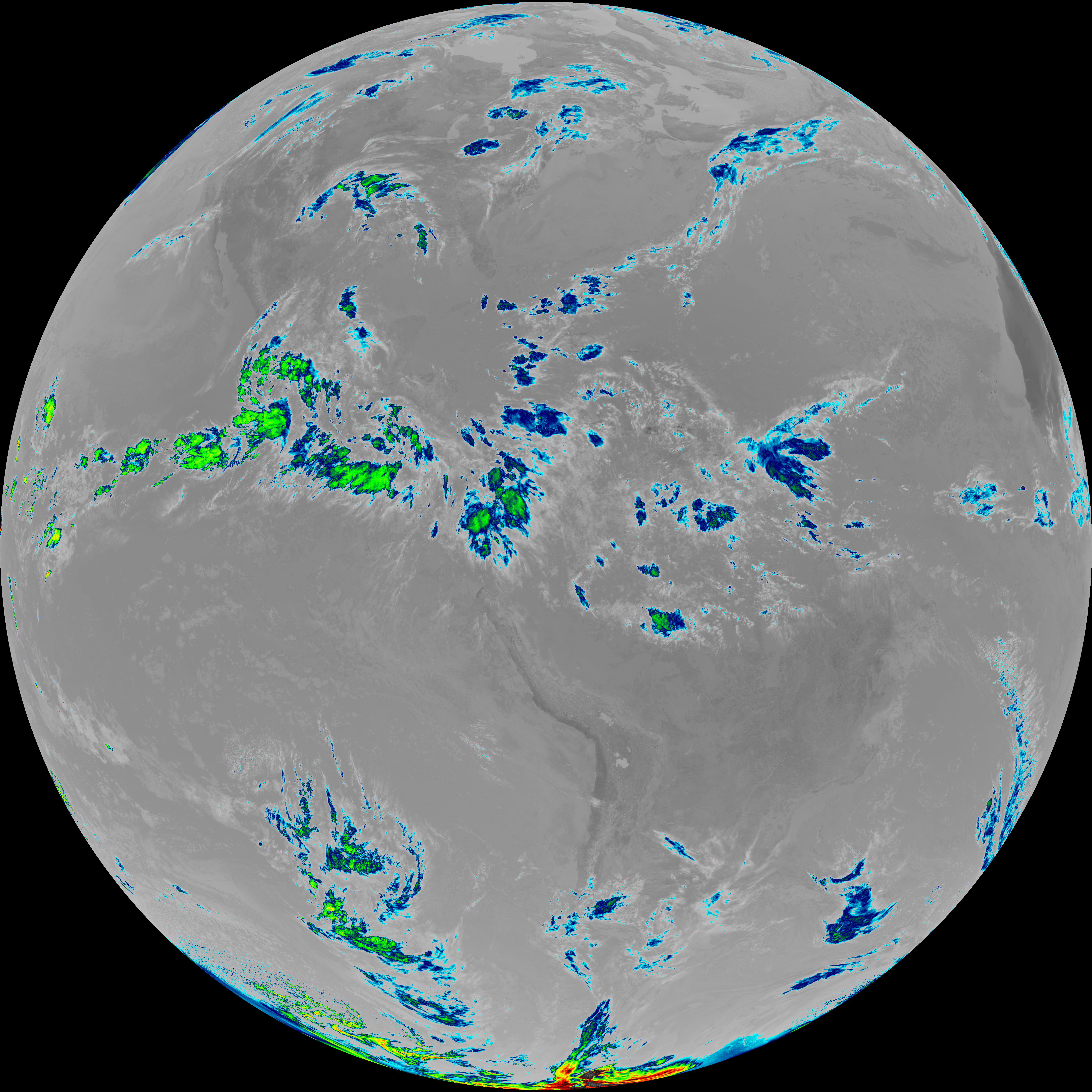
| abi_rgb_Shortwave_Window_Band.png | 14193125 | 2026-Jun-06 15:13 |
| G19_14_20260606T150021Z.png | 10856520 | 2026-Jun-06 15:28 |
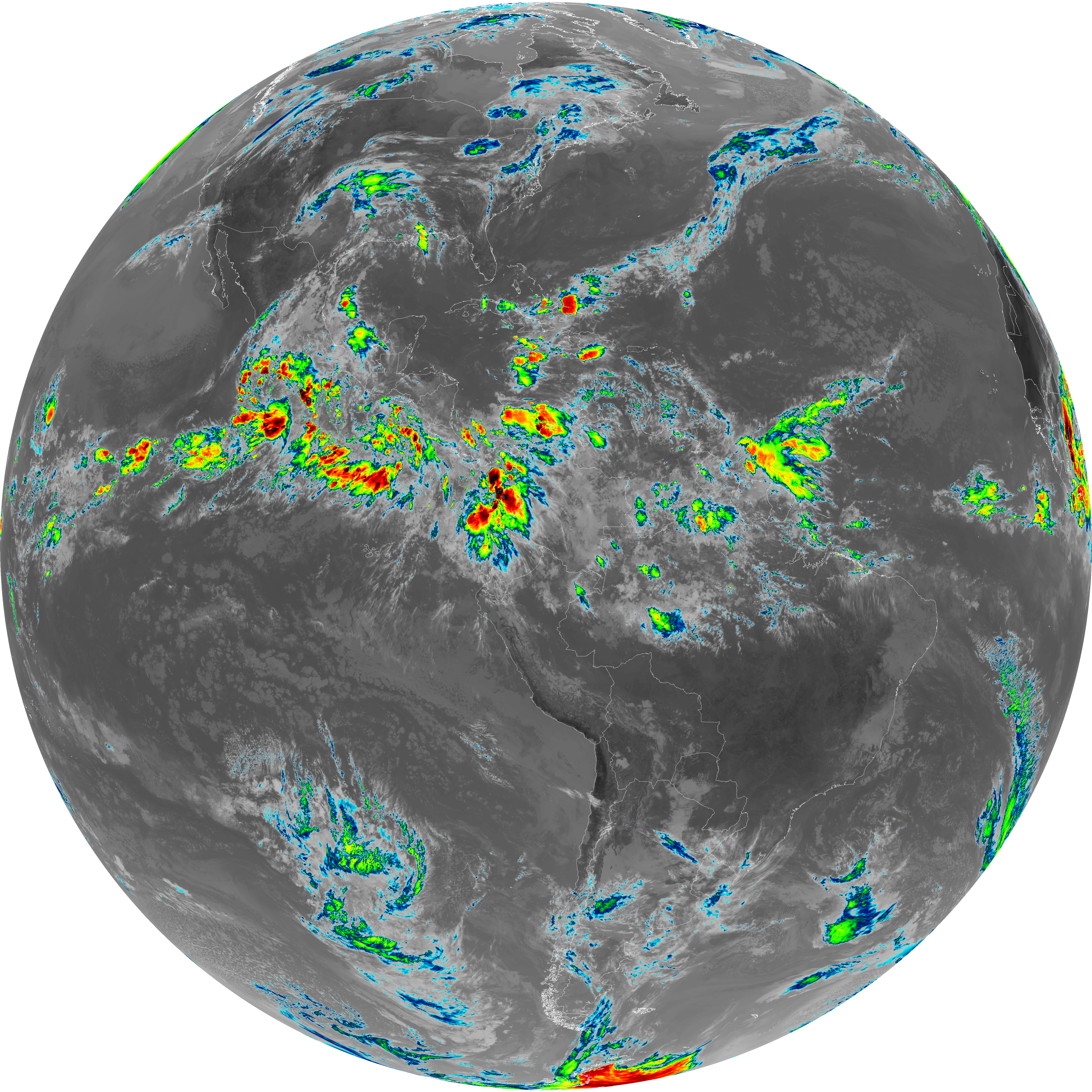
| abi_rgb_Dirty_Longwave_Window_map.png | 10754658 | 2026-Jun-06 15:57 |
| G19_13_20260606T150021Z.png | 10717308 | 2026-Jun-06 15:16 |
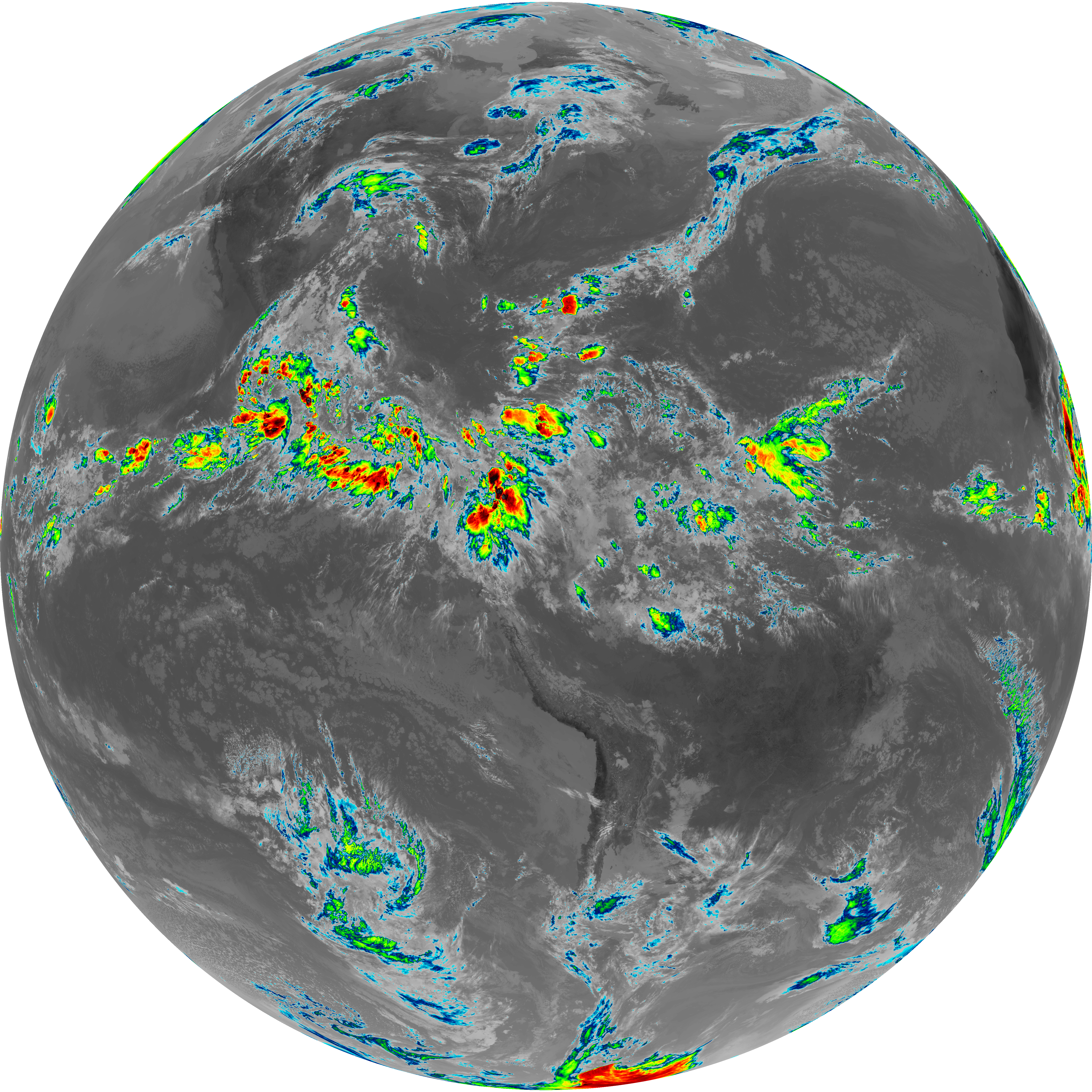
| abi_rgb_Dirty_Longwave_Window.png | 10692238 | 2026-Jun-06 15:57 |
| G19_7_20260606T150021Z.png | 10373927 | 2026-Jun-06 15:13 |
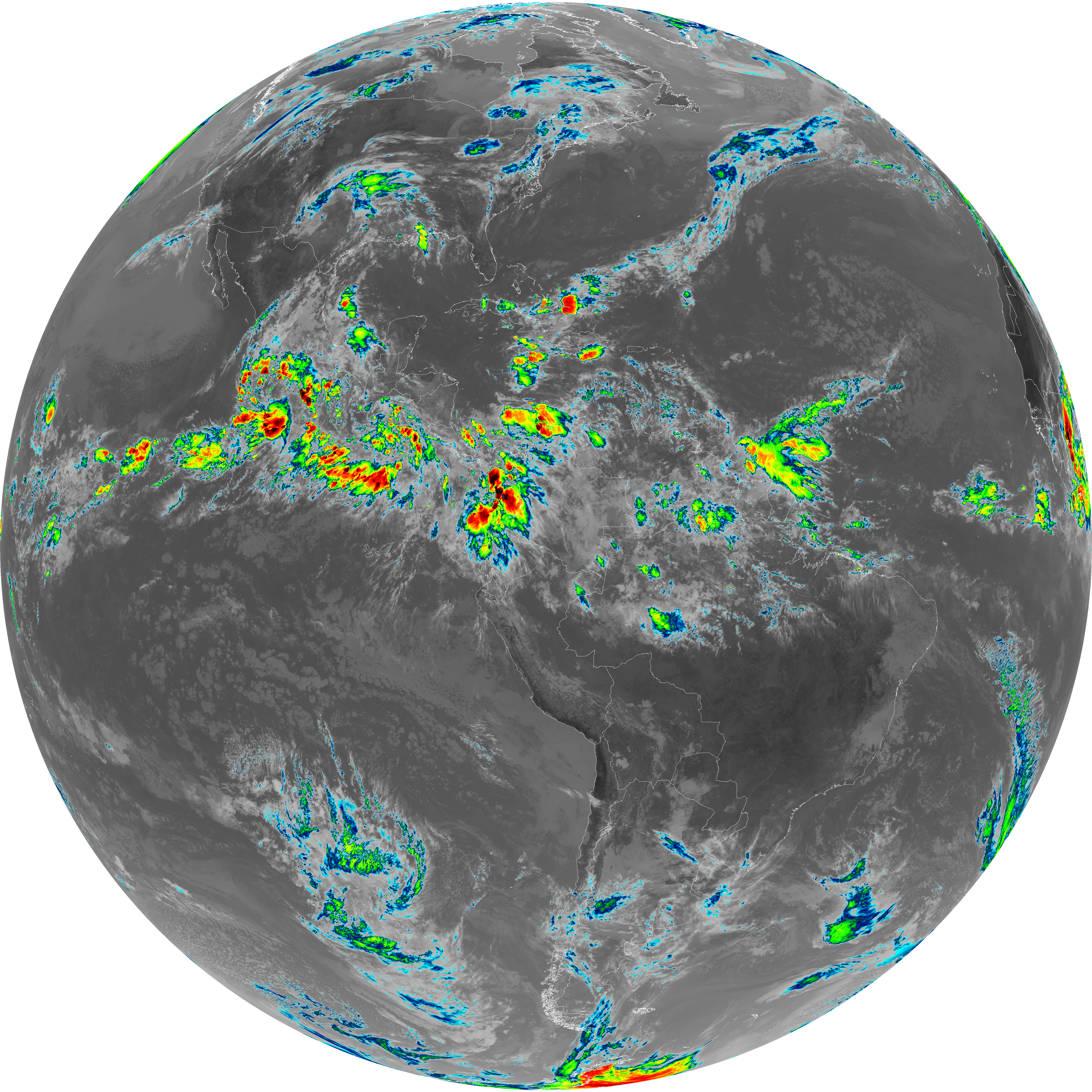
| abi_rgb_Dirty_Longwave_Window_-_CIRA_map.png | 9532512 | 2026-Jun-06 15:57 |
| abi_rgb_Dirty_Longwave_Window_-_CIRA.png | 9455534 | 2026-Jun-06 15:57 |
| abi_rgb_Mid-level_Tropospheric_Water_Vapor_map.png | 9033140 | 2026-Jun-06 15:26 |
| abi_rgb_Mid-level_Tropospheric_Water_Vapor.png | 8934602 | 2026-Jun-06 15:26 |
| G19_15_20260606T150021Z.png | 7932666 | 2026-Jun-06 15:57 |
| abi_rgb_Upper-Level_Tropospheric_Water_Vapor_map.png | 7804594 | 2026-Jun-06 15:24 |
| abi_rgb_Upper-Level_Tropospheric_Water_Vapor.png | 7694962 | 2026-Jun-06 15:24 |
| G19_9_20260606T150021Z.png | 6656814 | 2026-Jun-06 15:25 |
| G19_8_20260606T150021Z.png | 5770888 | 2026-Jun-06 15:23 |