| Parent directory/ | - | - |
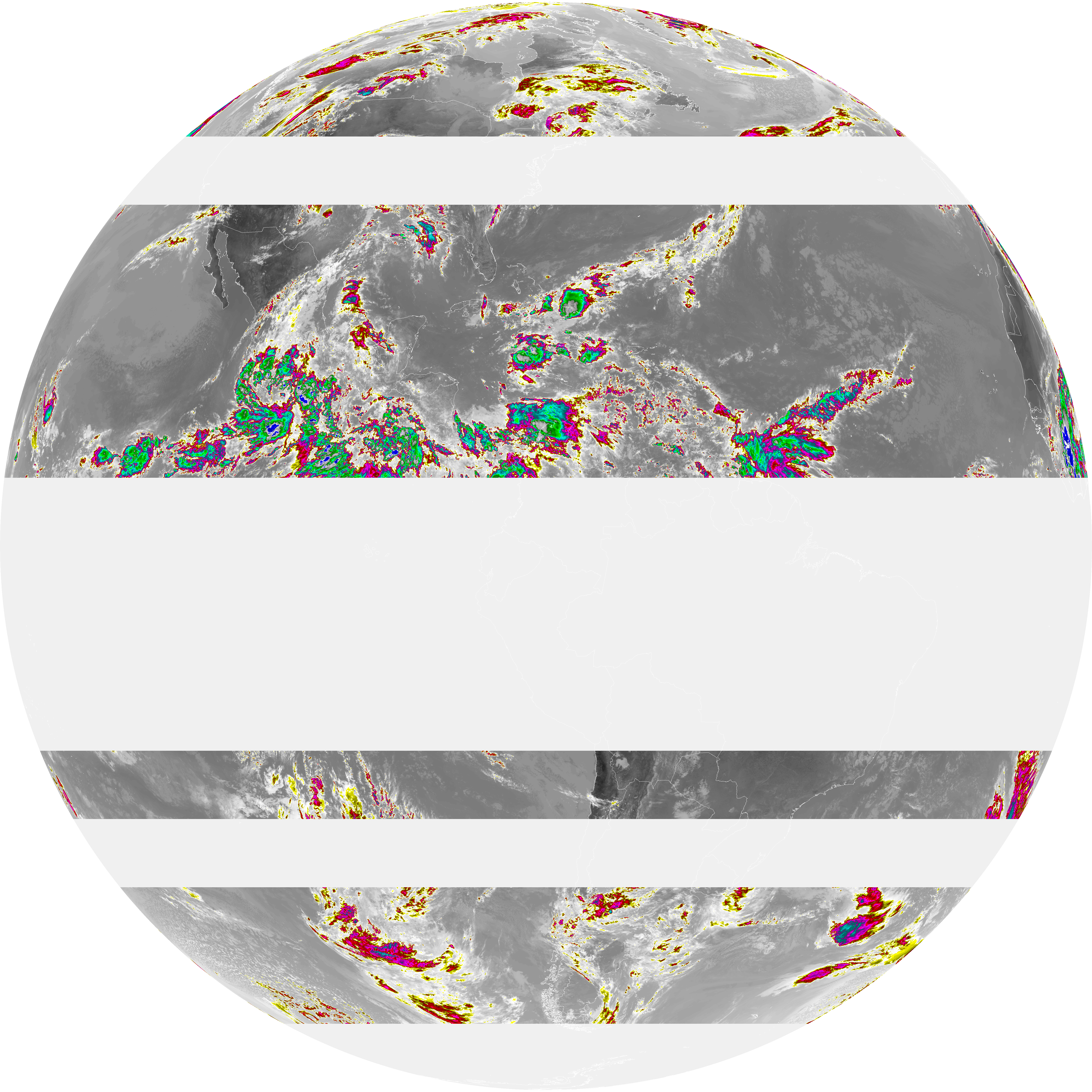
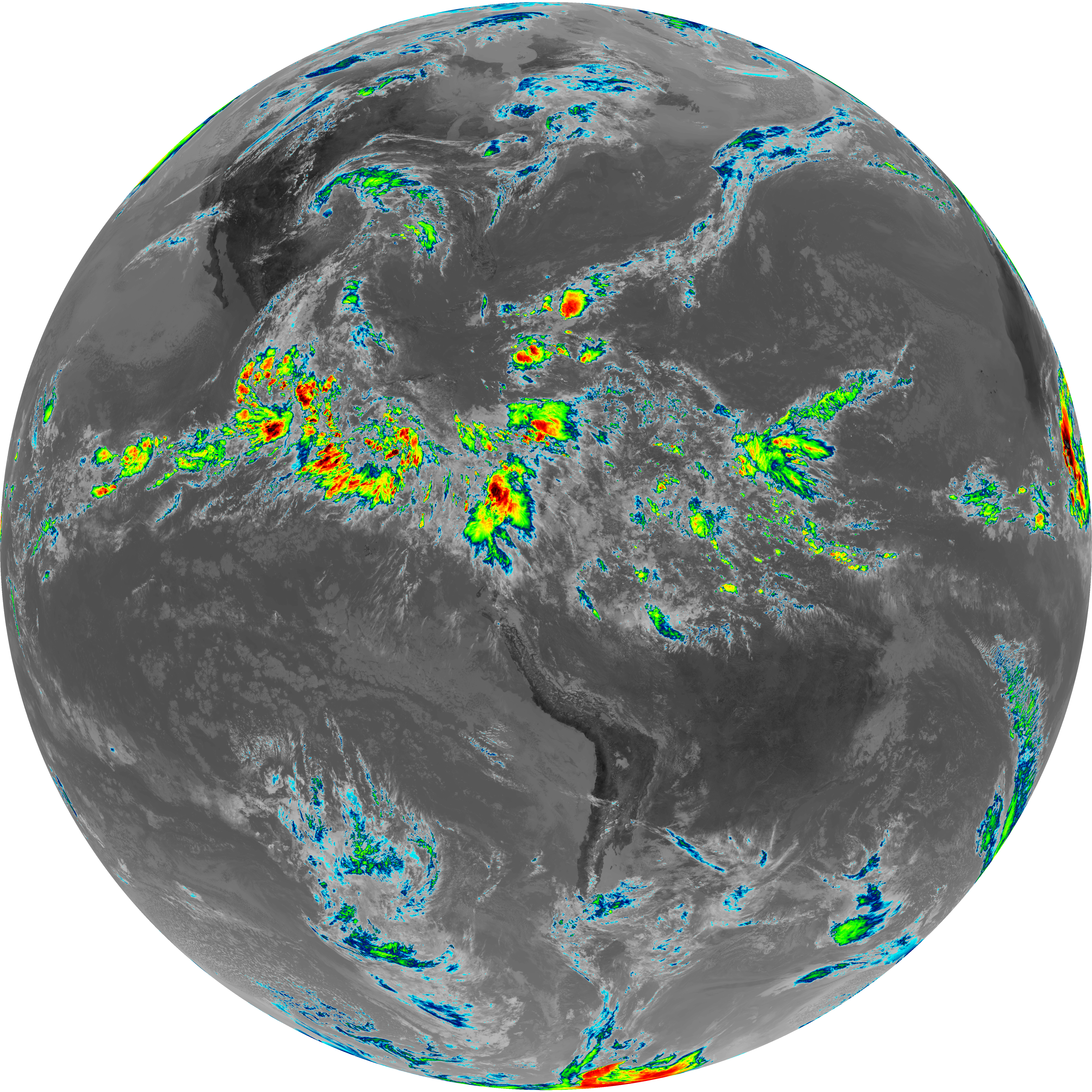
| abi_rgb_Dirty_Longwave_Window_-_CIRA_map.png | 7079580 | 2026-Jun-06 18:00 |
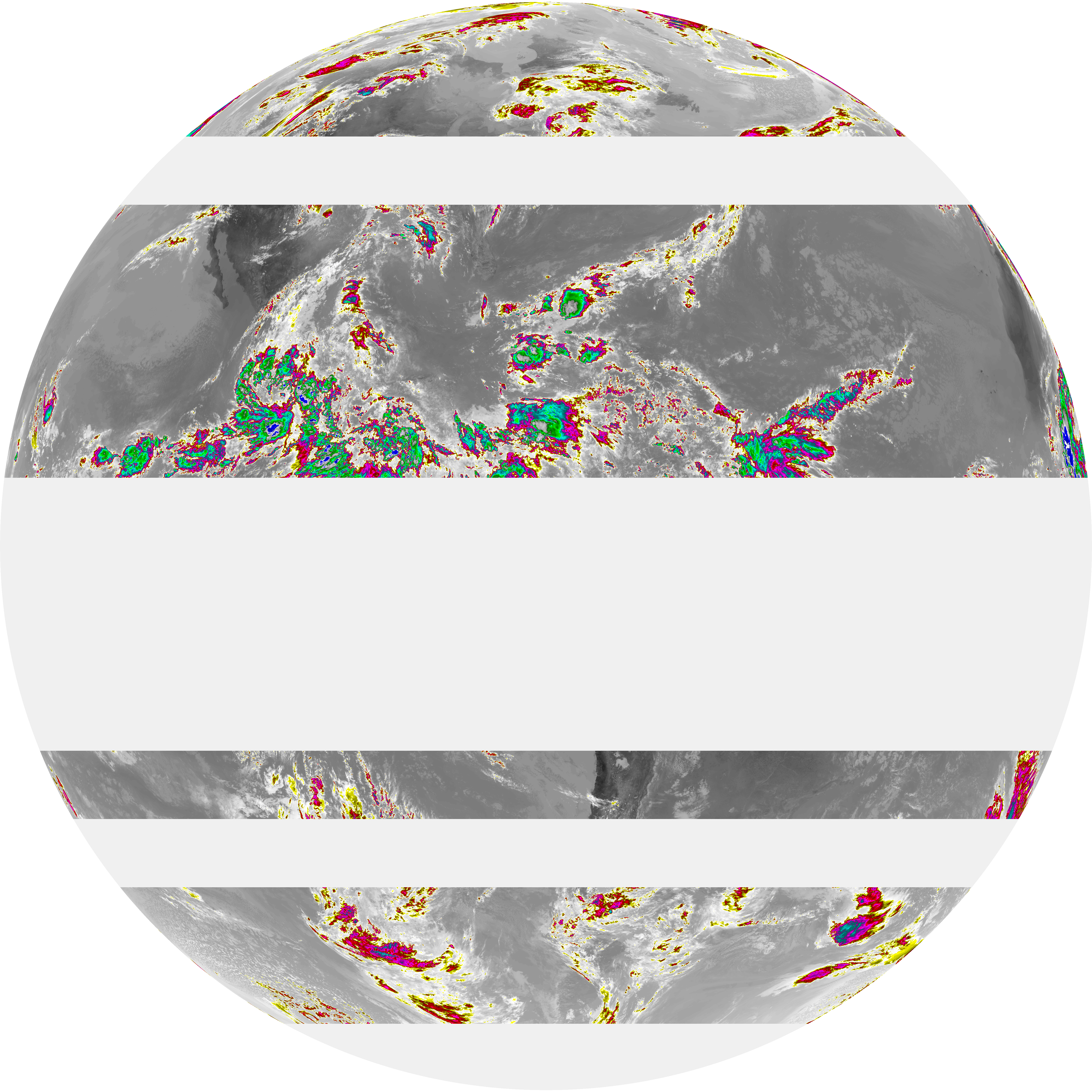
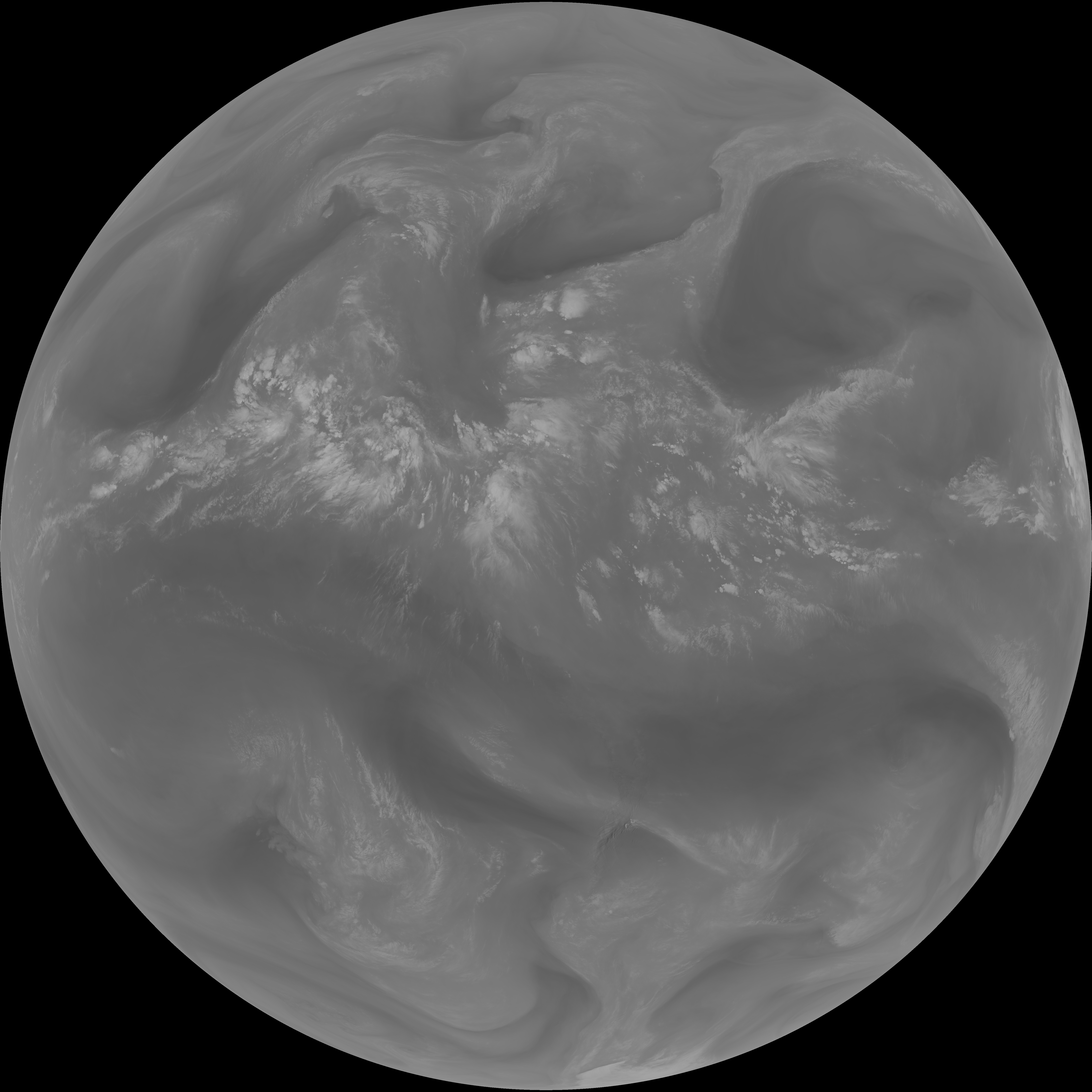
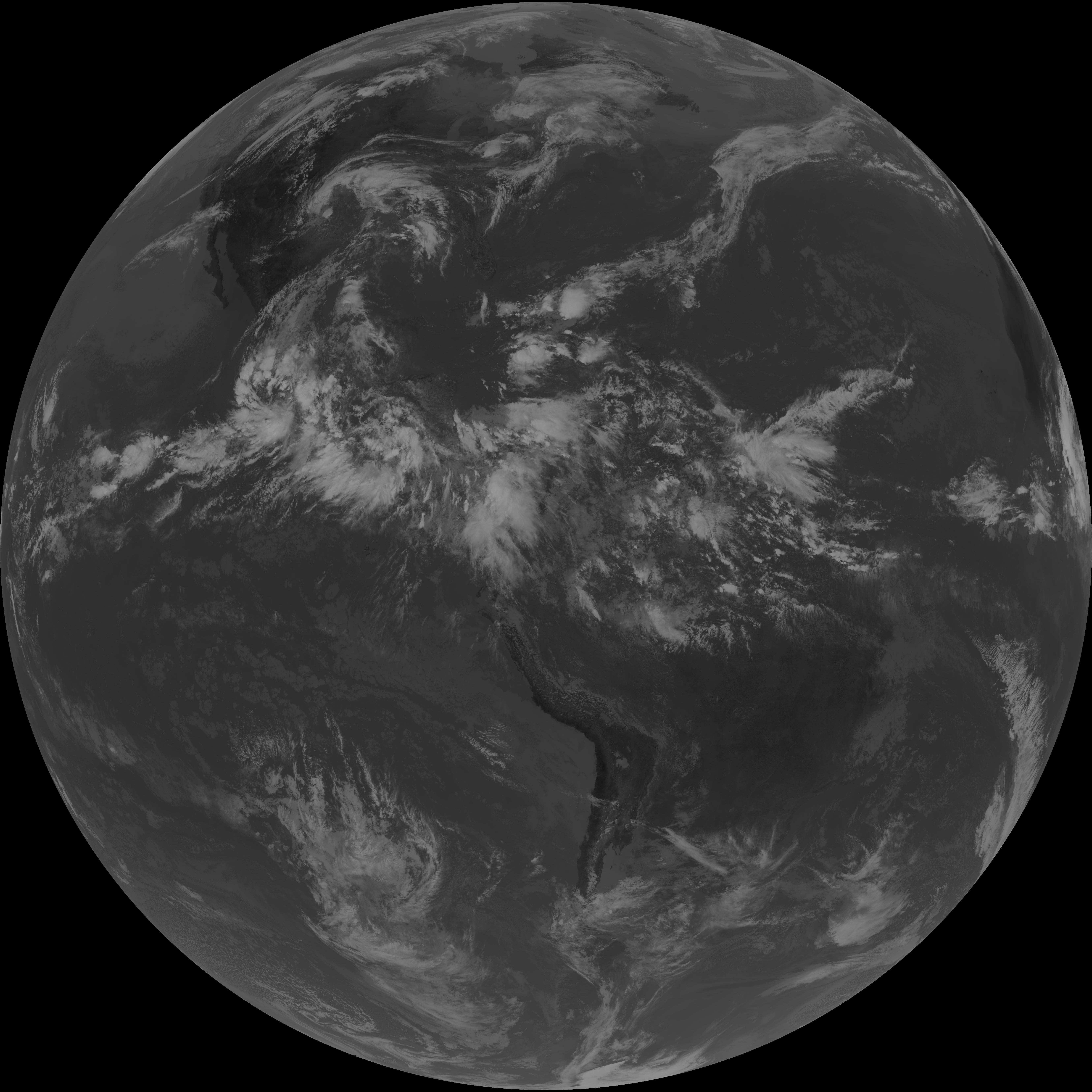
| abi_rgb_Dirty_Longwave_Window_-_CIRA.png | 7003560 | 2026-Jun-06 18:00 |
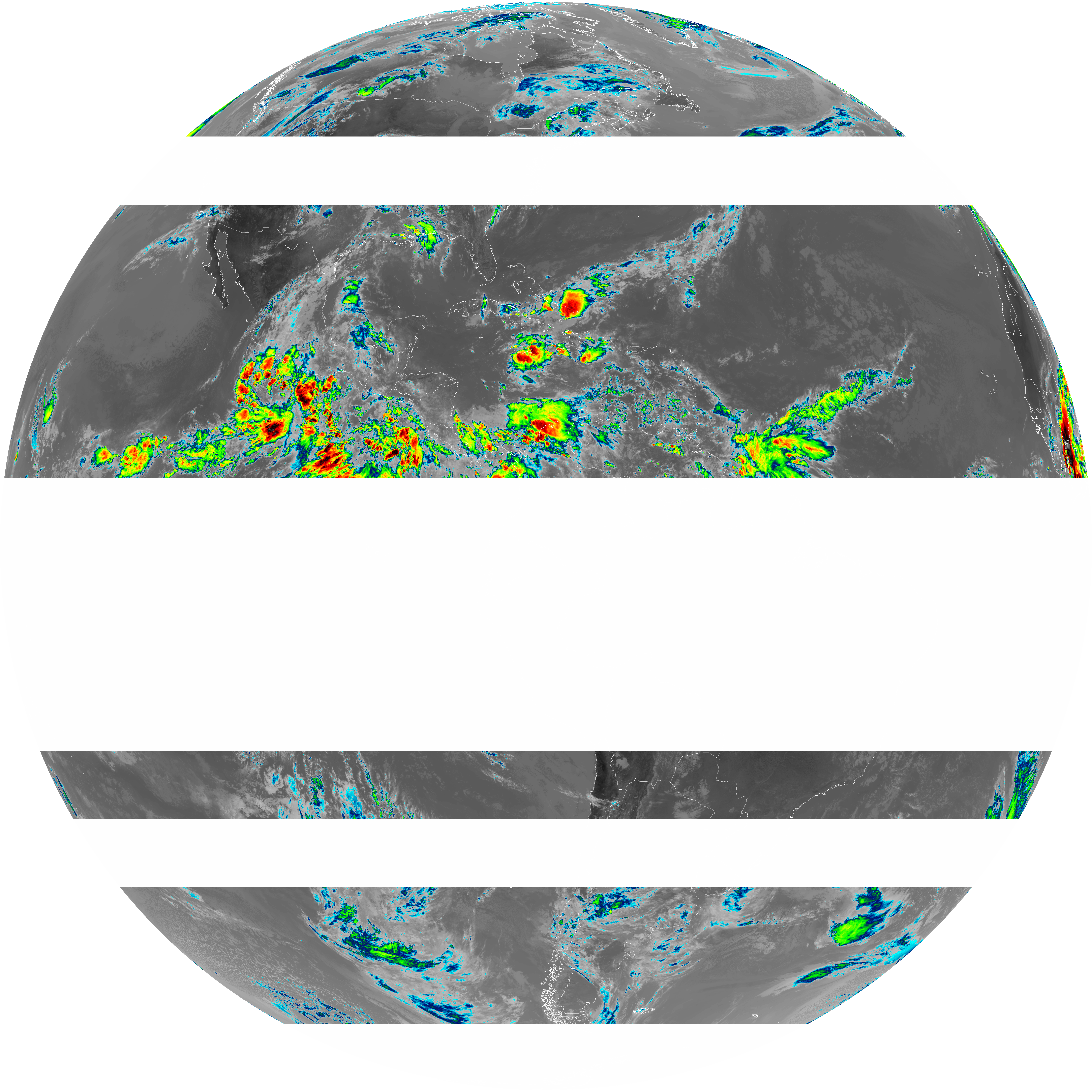
| abi_rgb_Dirty_Longwave_Window_map.png | 7953557 | 2026-Jun-06 18:00 |
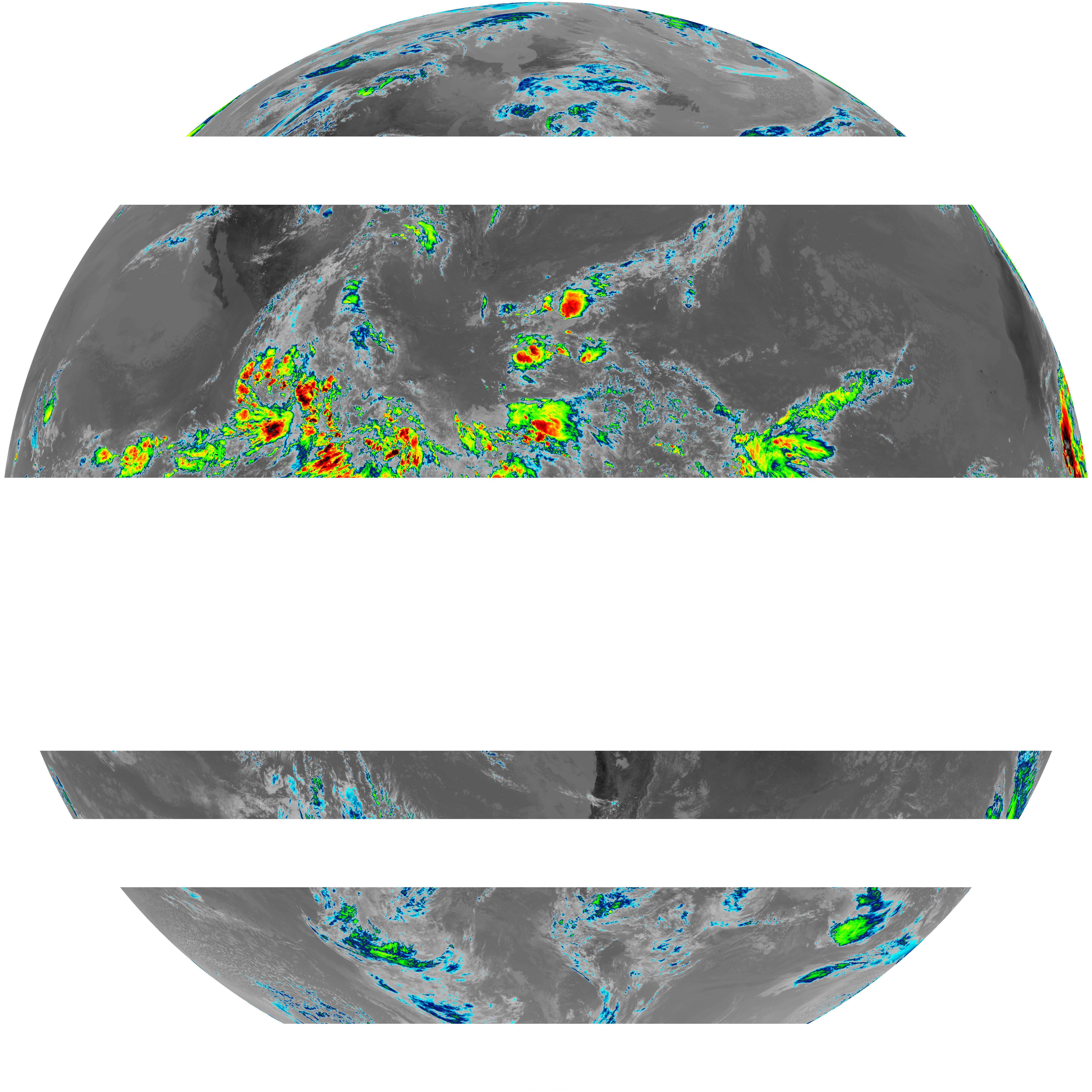
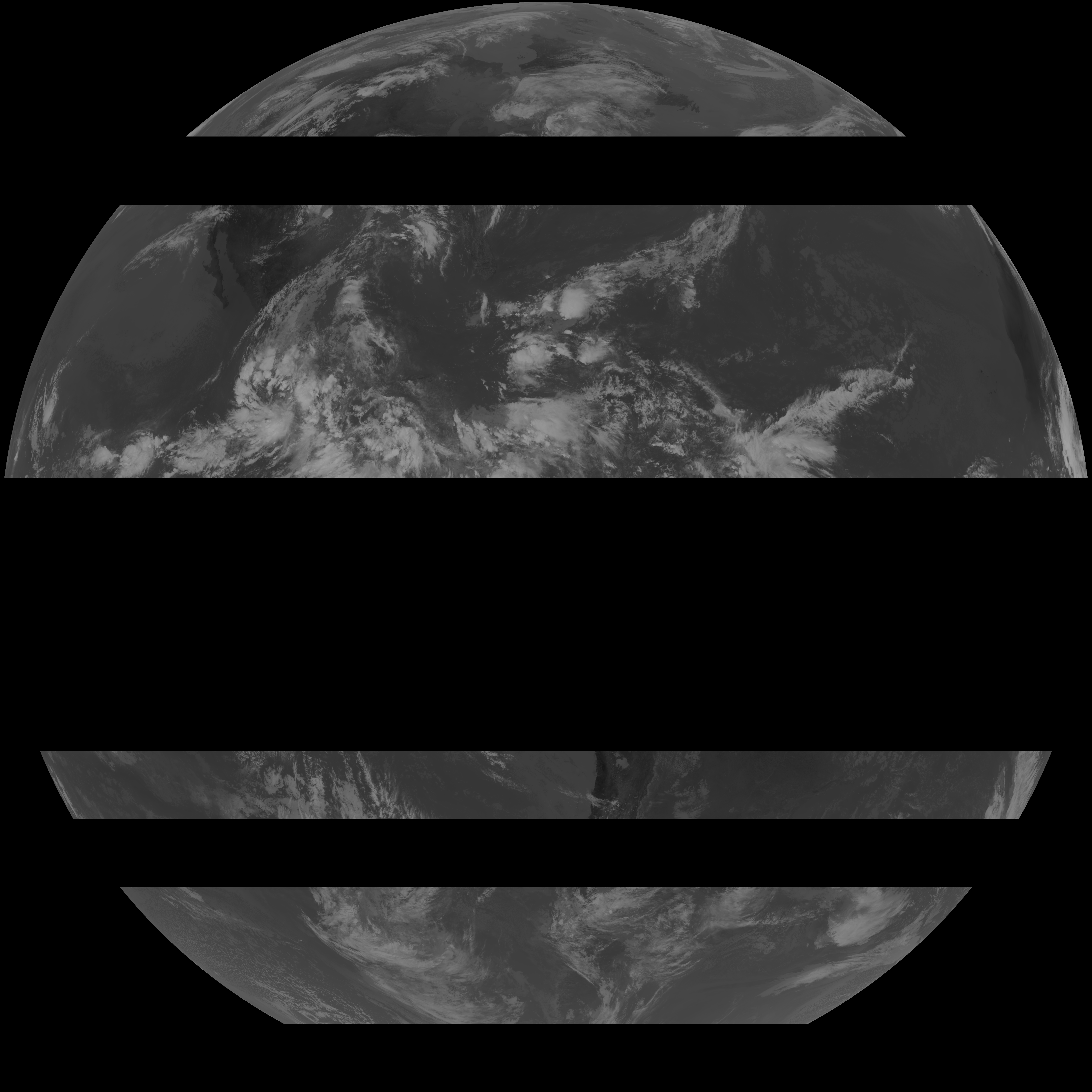
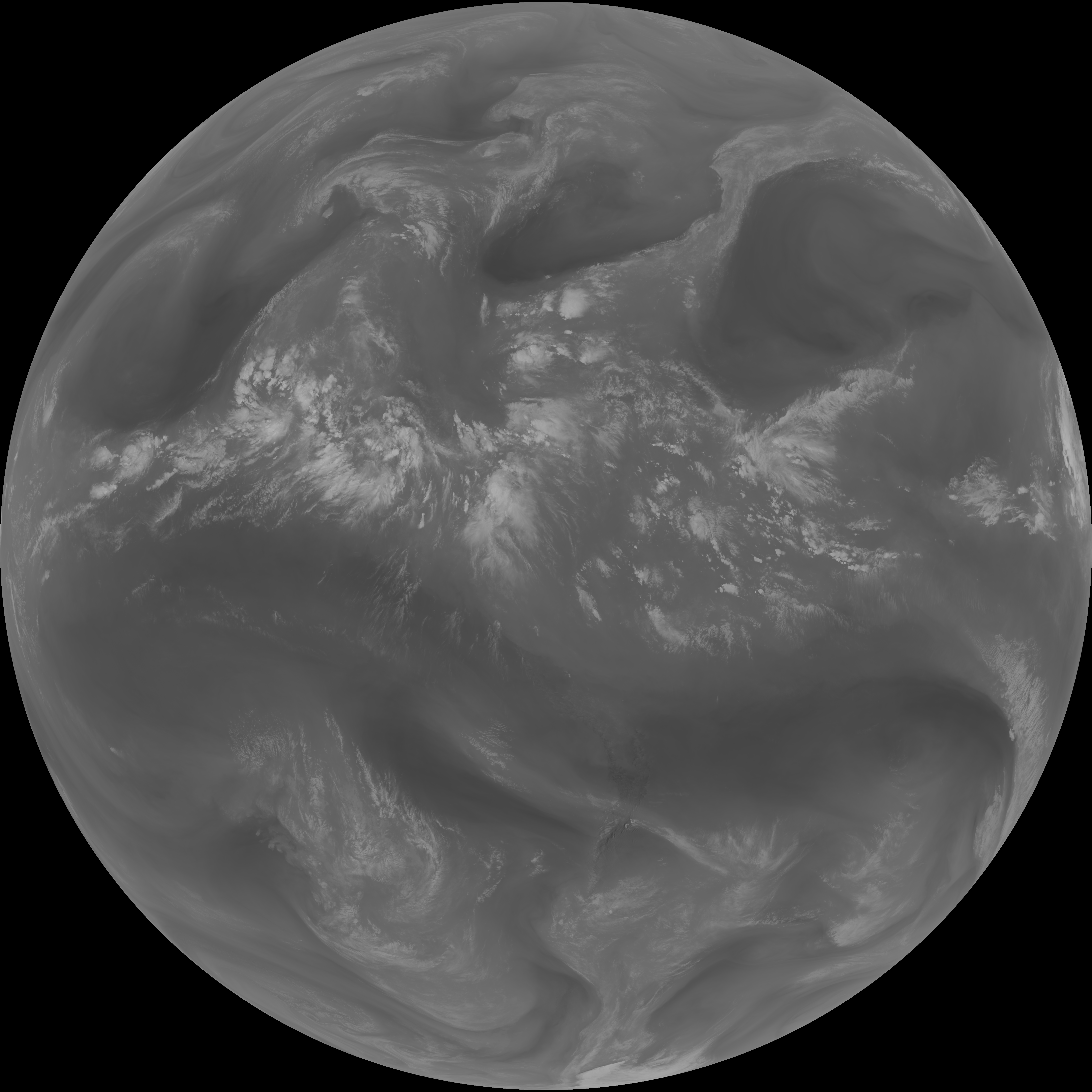
| abi_rgb_Dirty_Longwave_Window.png | 7888513 | 2026-Jun-06 18:00 |
| G19_15_20260606T170021Z.png | 5842893 | 2026-Jun-06 18:00 |
| abi_rgb_Infrared_Longwave_Window_Band_map.png | 14928505 | 2026-Jun-06 17:30 |
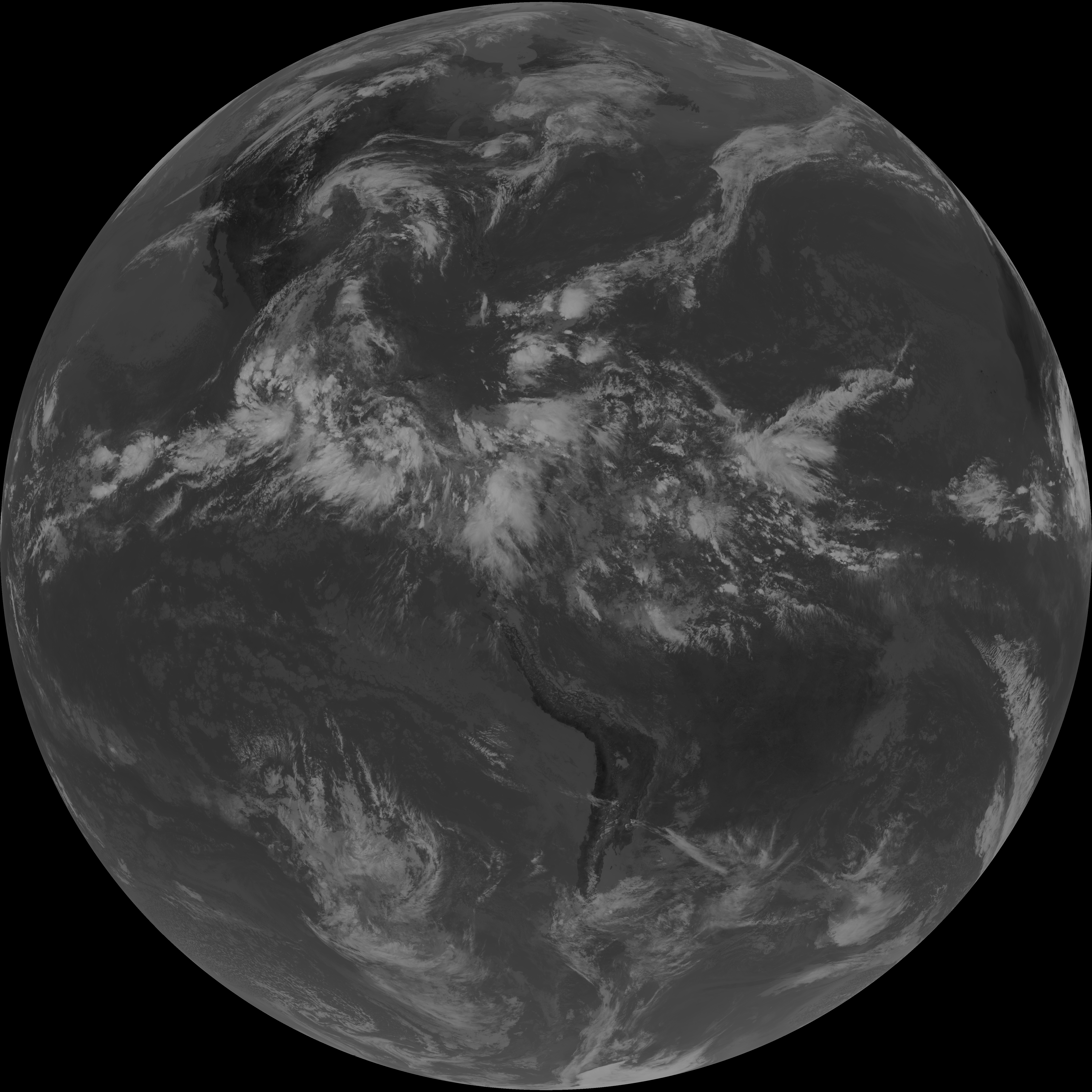
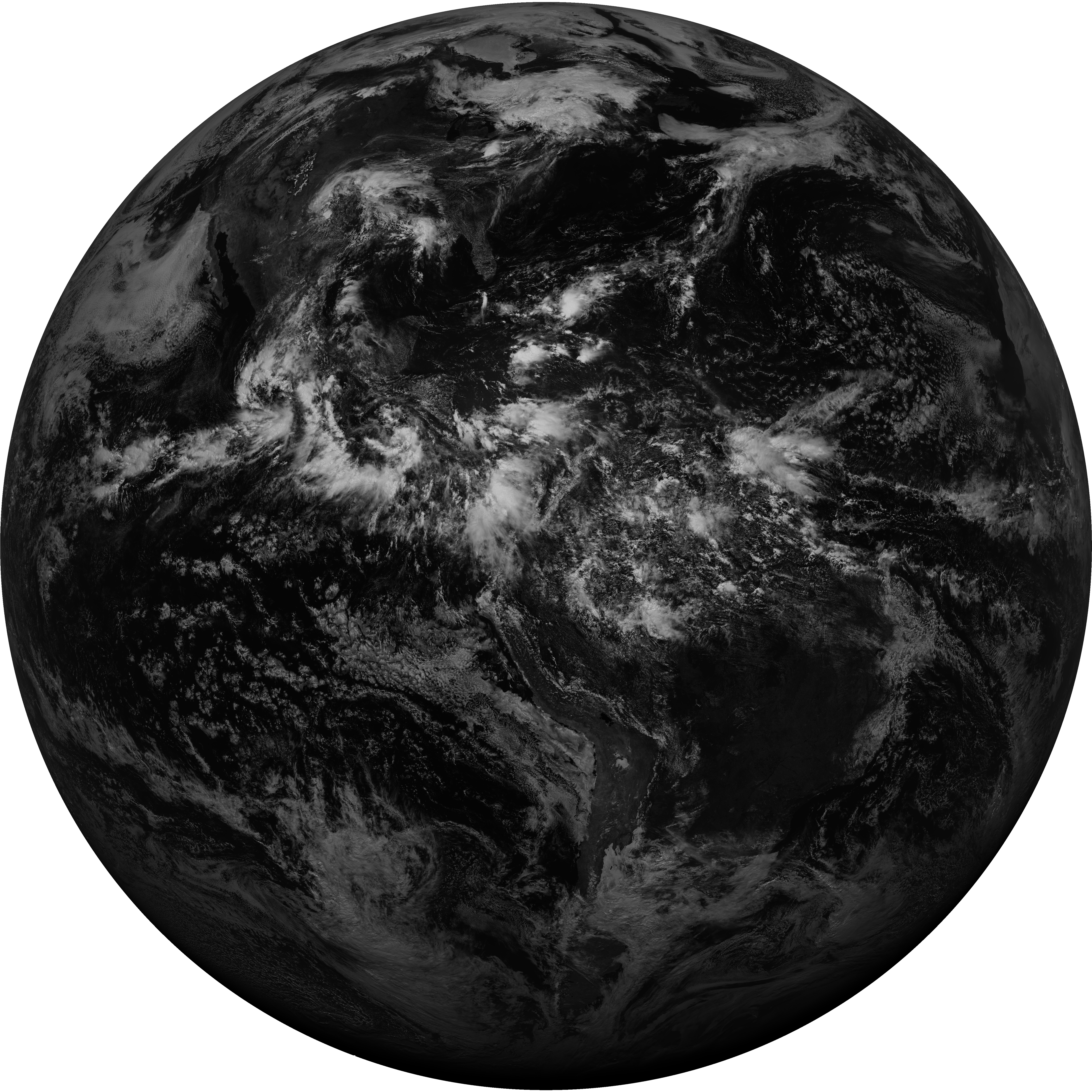
| abi_rgb_Infrared_Longwave_Window_Band.png | 14907620 | 2026-Jun-06 17:29 |
| G19_14_20260606T170021Z.png | 11157258 | 2026-Jun-06 17:29 |
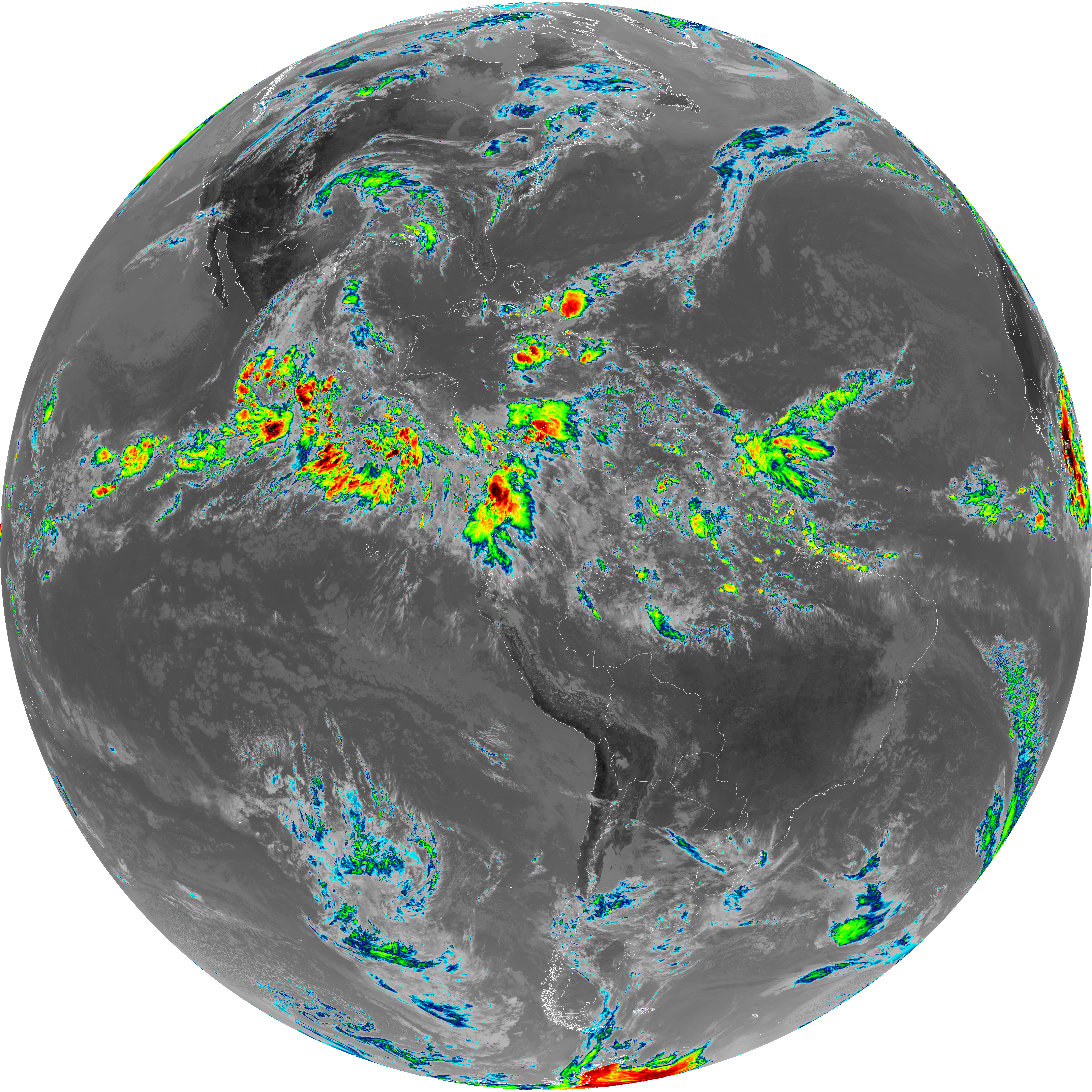
| abi_rgb_Mid-level_Tropospheric_Water_Vapor_map.png | 9255385 | 2026-Jun-06 17:26 |
| abi_rgb_Mid-level_Tropospheric_Water_Vapor.png | 9159906 | 2026-Jun-06 17:26 |
| G19_9_20260606T170021Z.png | 6821324 | 2026-Jun-06 17:26 |
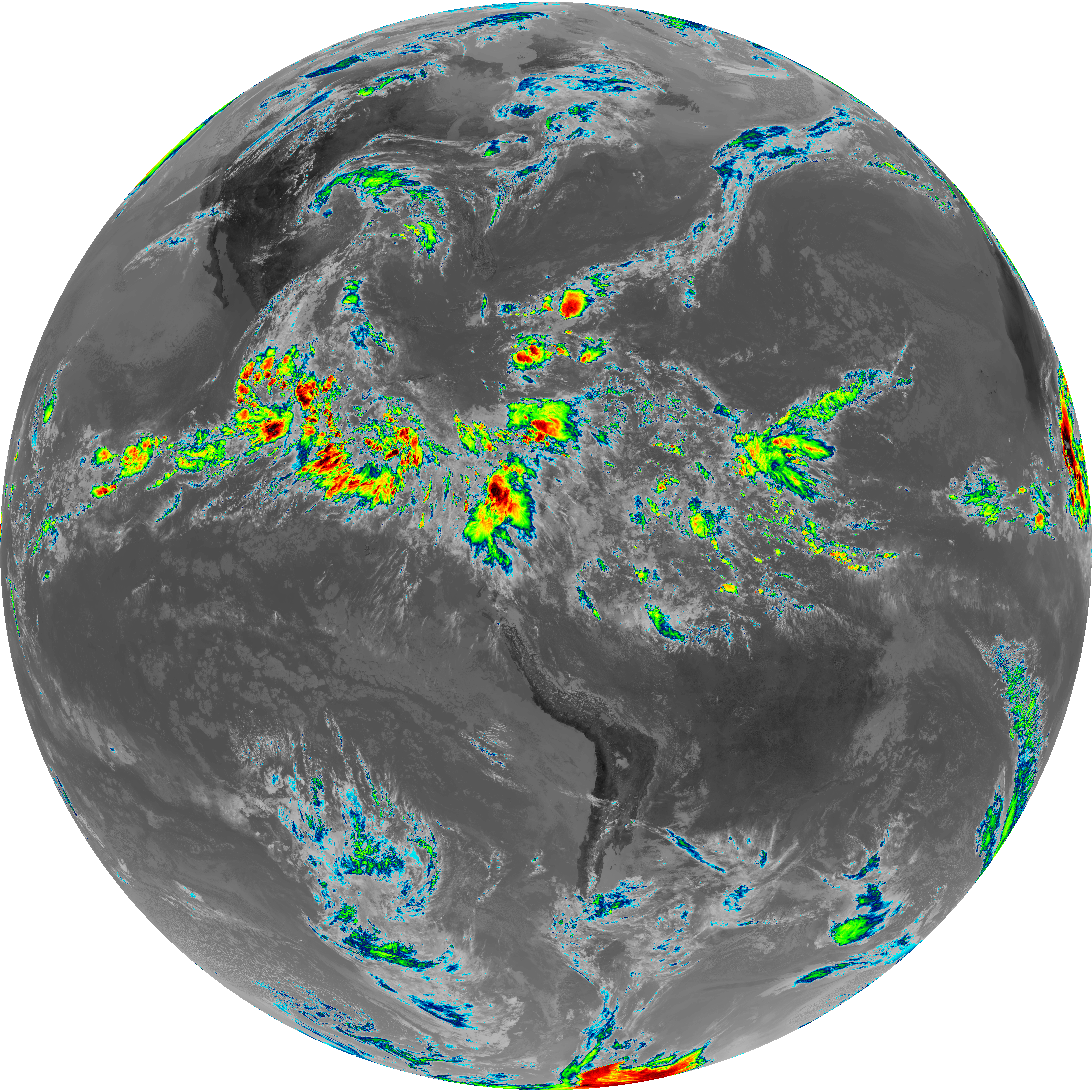
| abi_rgb_Upper-Level_Tropospheric_Water_Vapor_map.png | 8003277 | 2026-Jun-06 17:24 |
| abi_rgb_Upper-Level_Tropospheric_Water_Vapor.png | 7896988 | 2026-Jun-06 17:24 |
| G19_8_20260606T170021Z.png | 5921038 | 2026-Jun-06 17:24 |
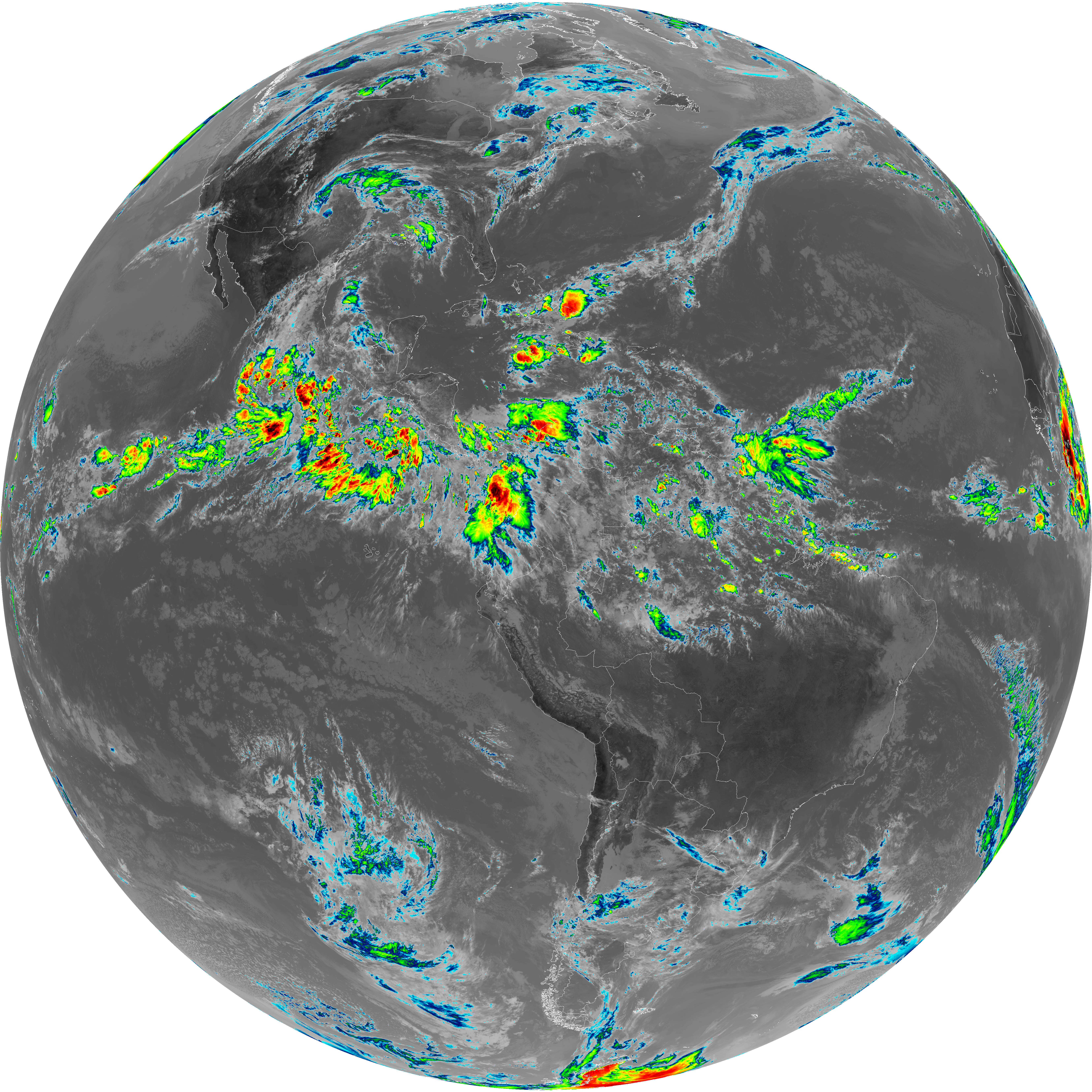
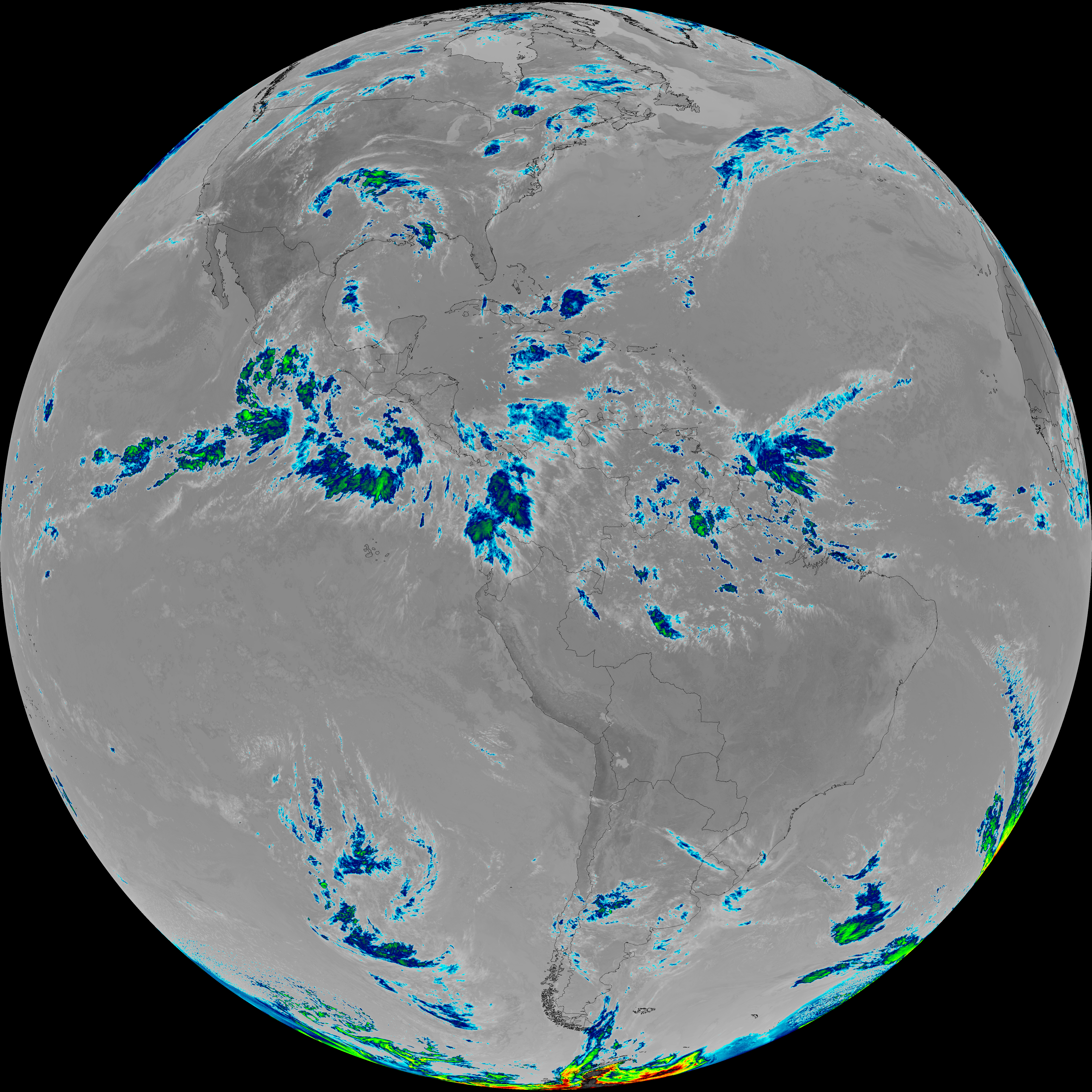
| G19_2_20260606T170021Z.png | 16515191 | 2026-Jun-06 17:22 |
| abi_rgb_Clean_Longwave_IR_Window_Band_map.png | 14770955 | 2026-Jun-06 17:17 |
| abi_rgb_Clean_Longwave_IR_Window_Band.png | 14750076 | 2026-Jun-06 17:17 |
| G19_13_20260606T170021Z.png | 11029432 | 2026-Jun-06 17:16 |
| abi_rgb_Shortwave_Window_Band_map.png | 14757036 | 2026-Jun-06 17:14 |
| abi_rgb_Shortwave_Window_Band.png | 14713468 | 2026-Jun-06 17:13 |
| G19_7_20260606T170021Z.png | 10759359 | 2026-Jun-06 17:13 |