| Parent directory/ | - | - |
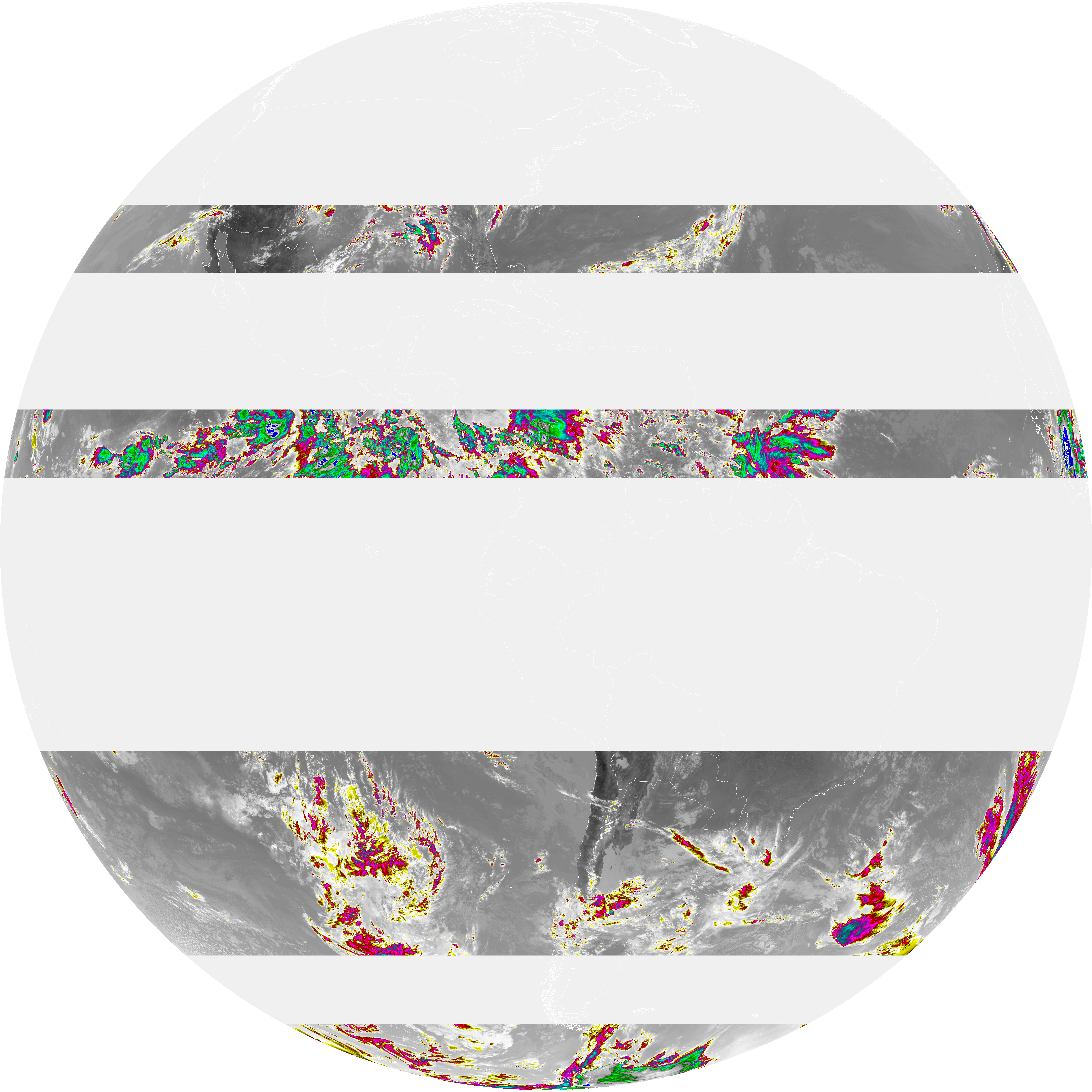
| abi_rgb_Dirty_Longwave_Window_-_CIRA_map.png | 5087886 | 2026-Jun-06 18:30 |
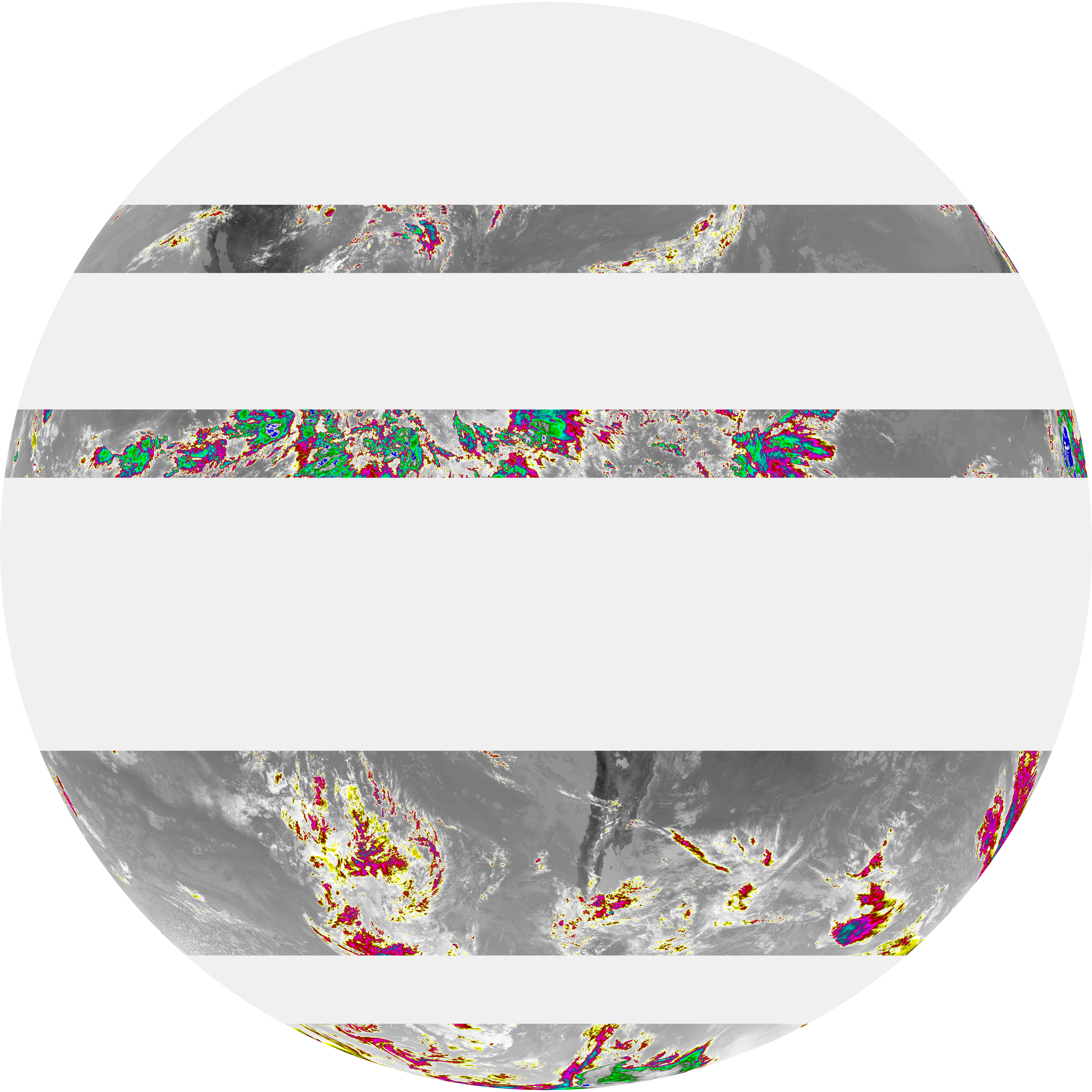
| abi_rgb_Dirty_Longwave_Window_-_CIRA.png | 4959352 | 2026-Jun-06 18:30 |
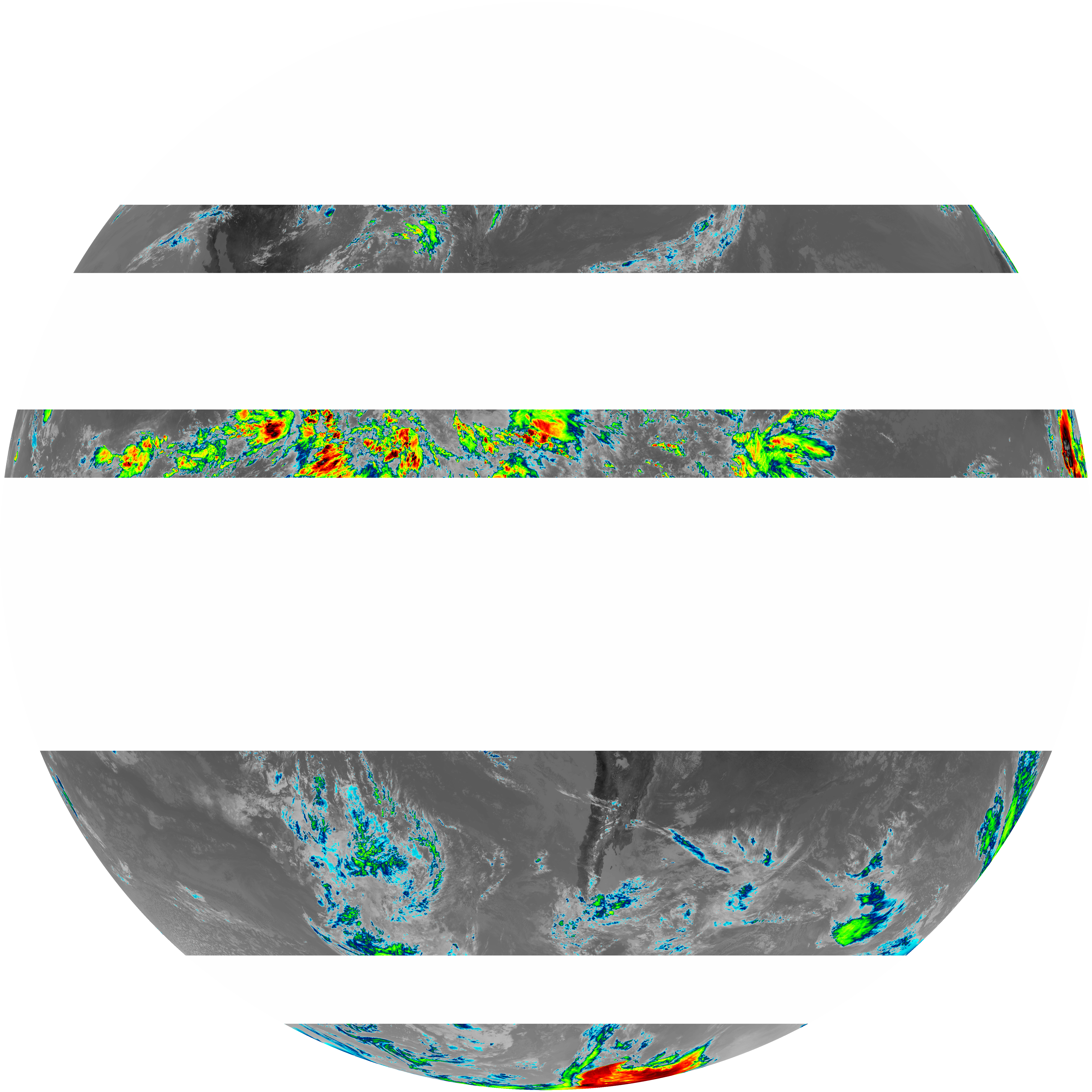
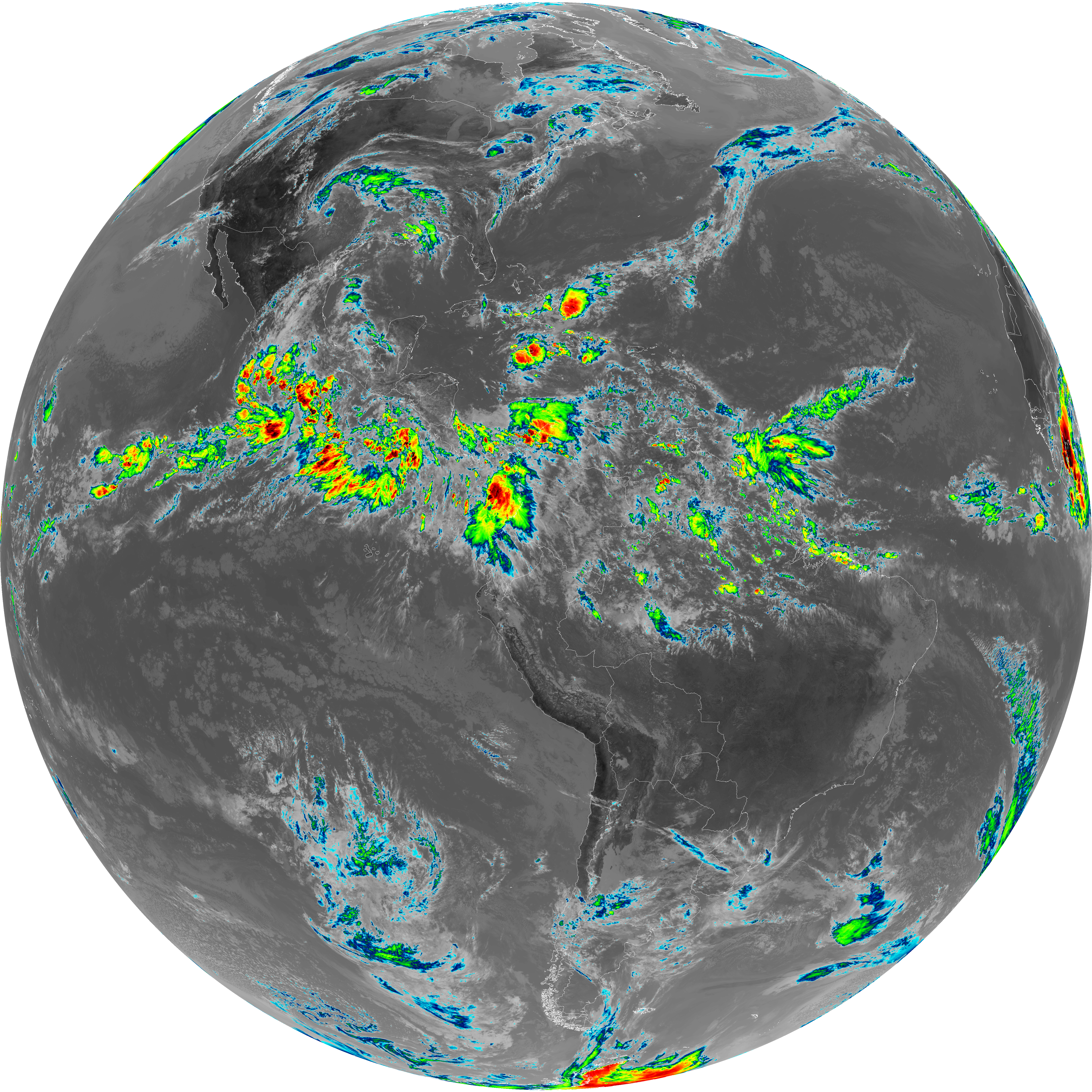
| abi_rgb_Dirty_Longwave_Window_map.png | 5744941 | 2026-Jun-06 18:30 |
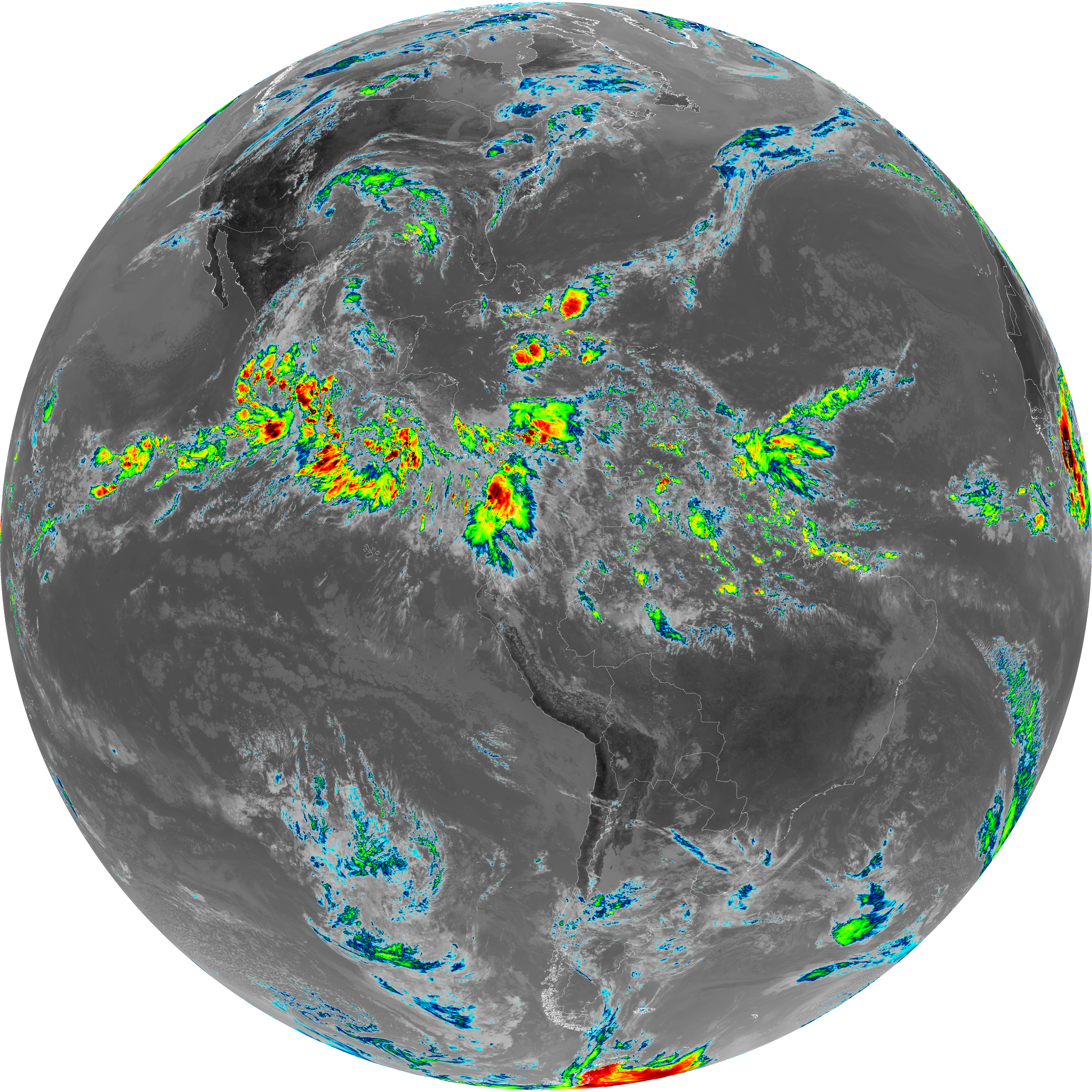
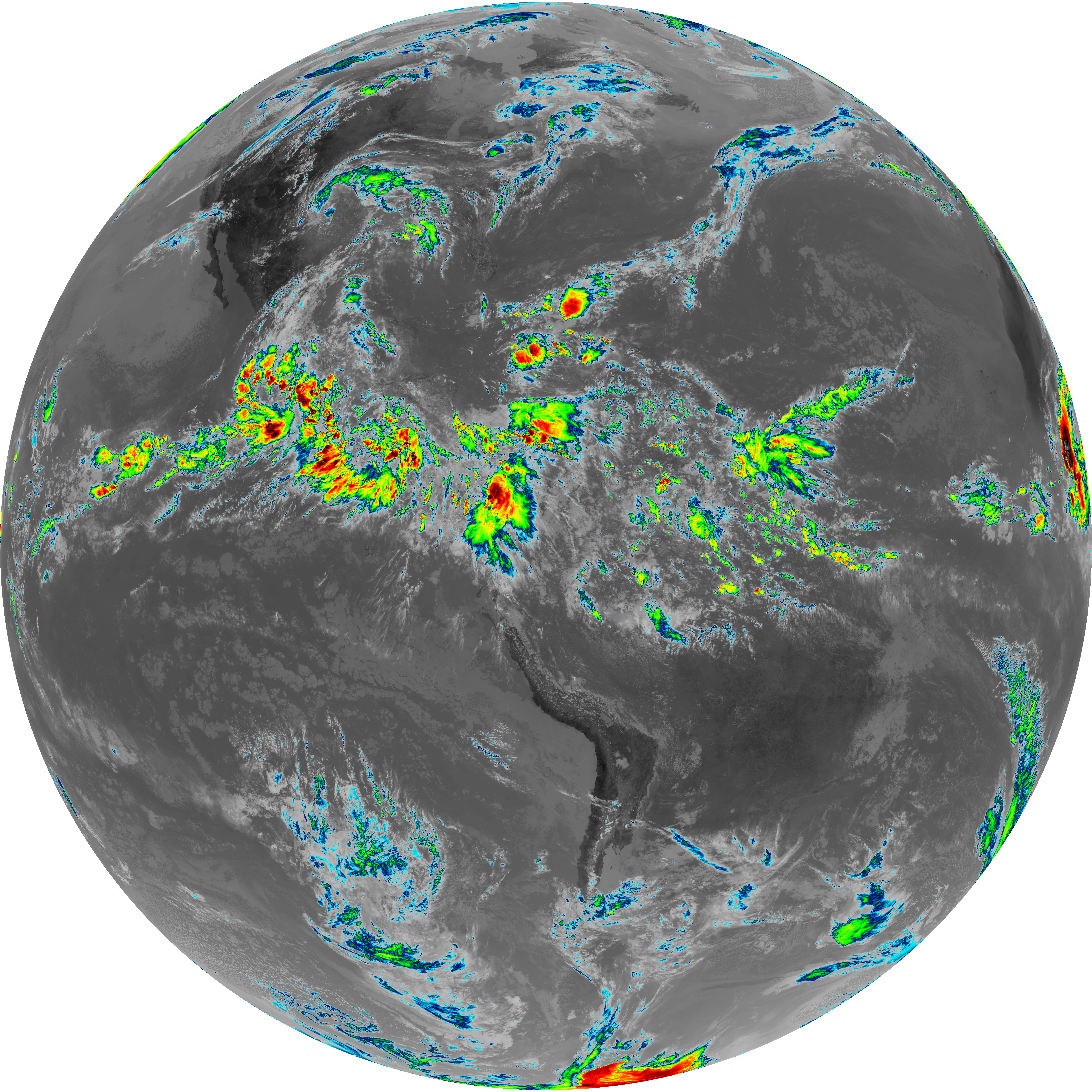
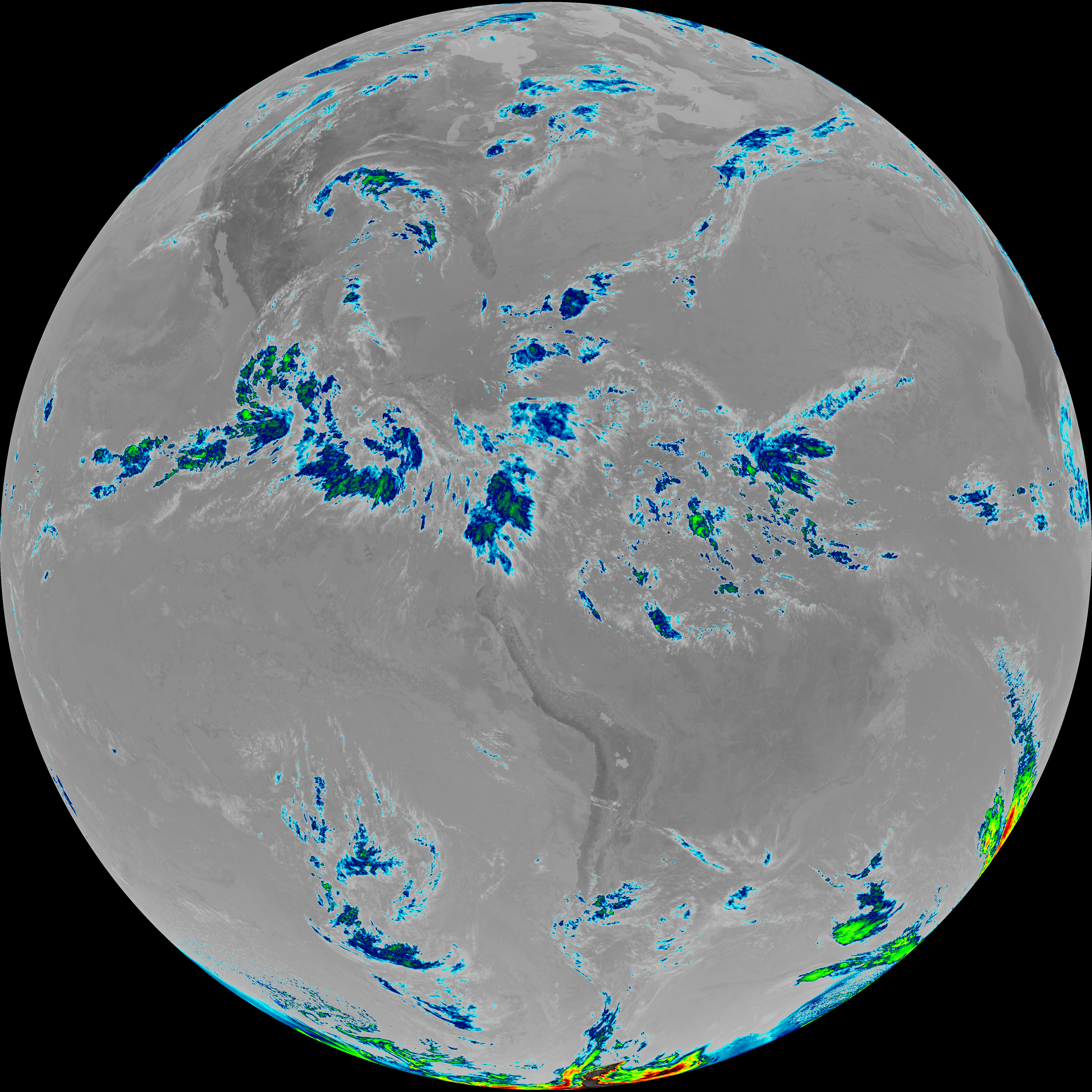
| abi_rgb_Dirty_Longwave_Window.png | 5624172 | 2026-Jun-06 18:30 |
| G19_15_20260606T173021Z.png | 4149978 | 2026-Jun-06 18:29 |
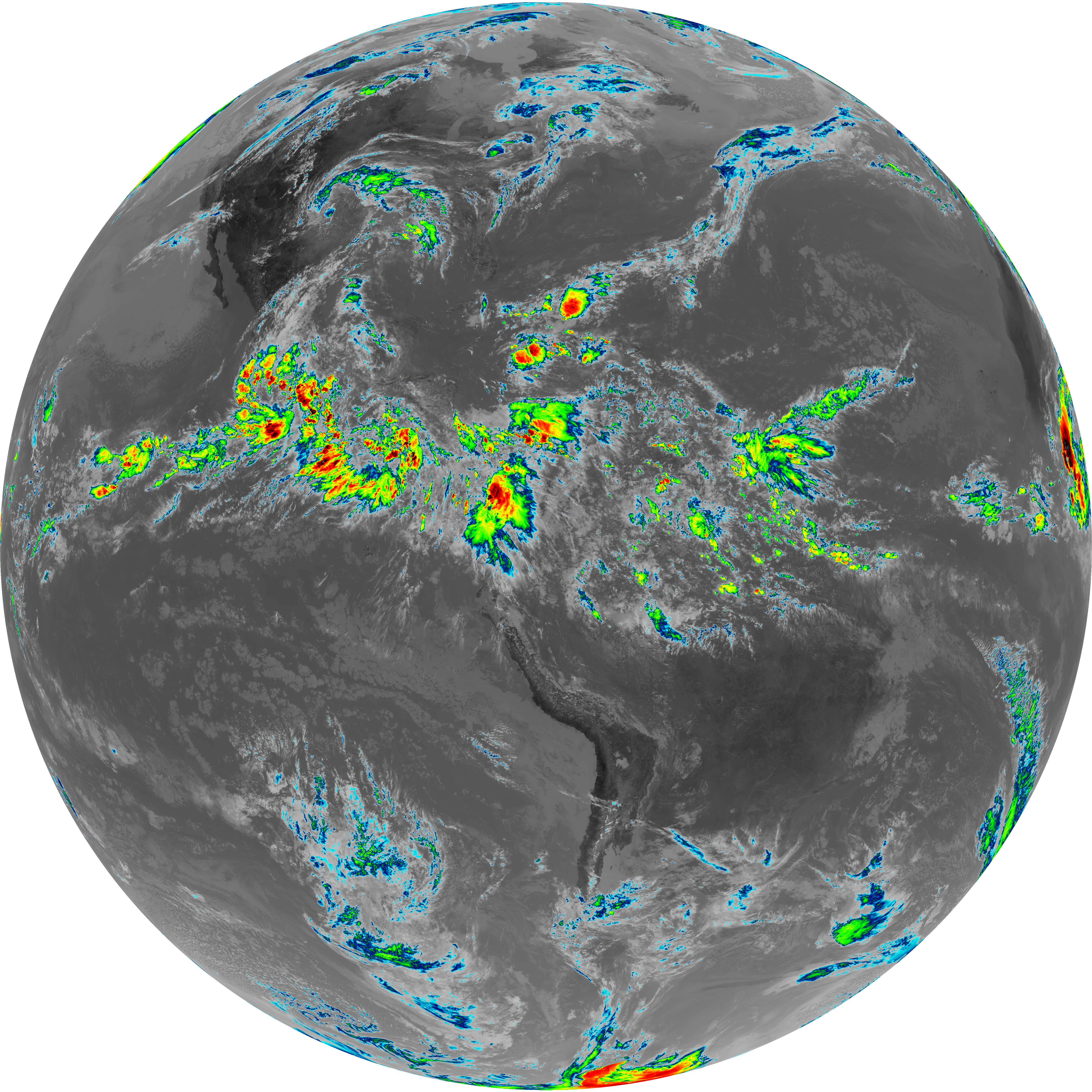
| abi_rgb_Infrared_Longwave_Window_Band_map.png | 14994679 | 2026-Jun-06 18:00 |
| abi_rgb_Infrared_Longwave_Window_Band.png | 14974348 | 2026-Jun-06 18:00 |
| G19_14_20260606T173021Z.png | 11204128 | 2026-Jun-06 18:00 |
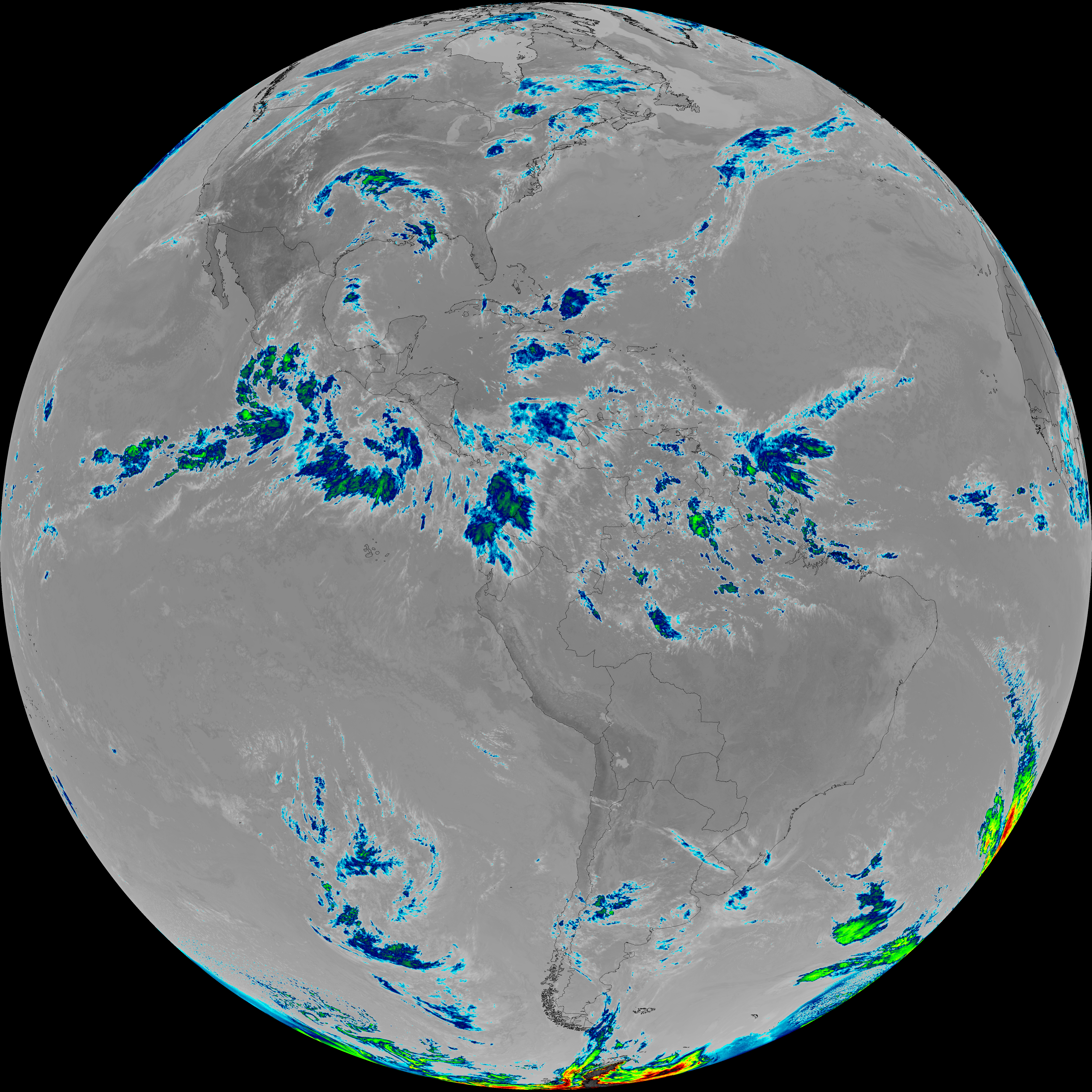
| abi_rgb_Mid-level_Tropospheric_Water_Vapor_map.png | 9333275 | 2026-Jun-06 17:57 |
| abi_rgb_Mid-level_Tropospheric_Water_Vapor.png | 9237073 | 2026-Jun-06 17:57 |
| G19_9_20260606T173021Z.png | 6880865 | 2026-Jun-06 17:56 |
| abi_rgb_Upper-Level_Tropospheric_Water_Vapor_map.png | 8063154 | 2026-Jun-06 17:54 |
| abi_rgb_Upper-Level_Tropospheric_Water_Vapor.png | 7956068 | 2026-Jun-06 17:54 |
| G19_8_20260606T173021Z.png | 5965558 | 2026-Jun-06 17:54 |
| G19_2_20260606T173021Z.png | 16419896 | 2026-Jun-06 17:52 |
| abi_rgb_Clean_Longwave_IR_Window_Band_map.png | 14834659 | 2026-Jun-06 17:47 |
| abi_rgb_Clean_Longwave_IR_Window_Band.png | 14813649 | 2026-Jun-06 17:47 |
| G19_13_20260606T173021Z.png | 11072842 | 2026-Jun-06 17:47 |
| abi_rgb_Shortwave_Window_Band_map.png | 14735085 | 2026-Jun-06 17:44 |
| abi_rgb_Shortwave_Window_Band.png | 14690823 | 2026-Jun-06 17:44 |
| G19_7_20260606T173021Z.png | 10749310 | 2026-Jun-06 17:43 |