| Parent directory/ | - | - |
| G19_7_20260606T183021Z.png | 10634673 | 2026-Jun-06 18:43 |
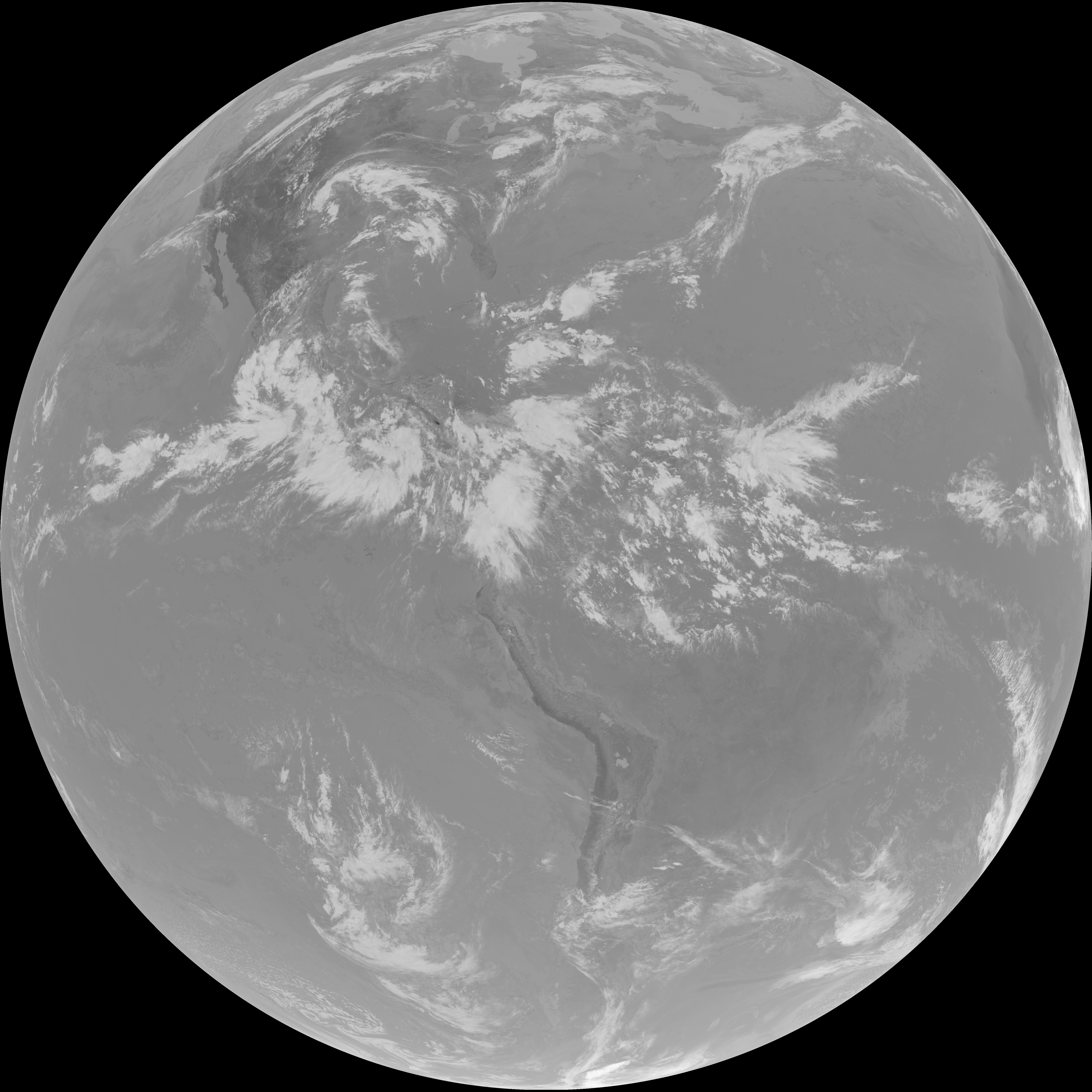
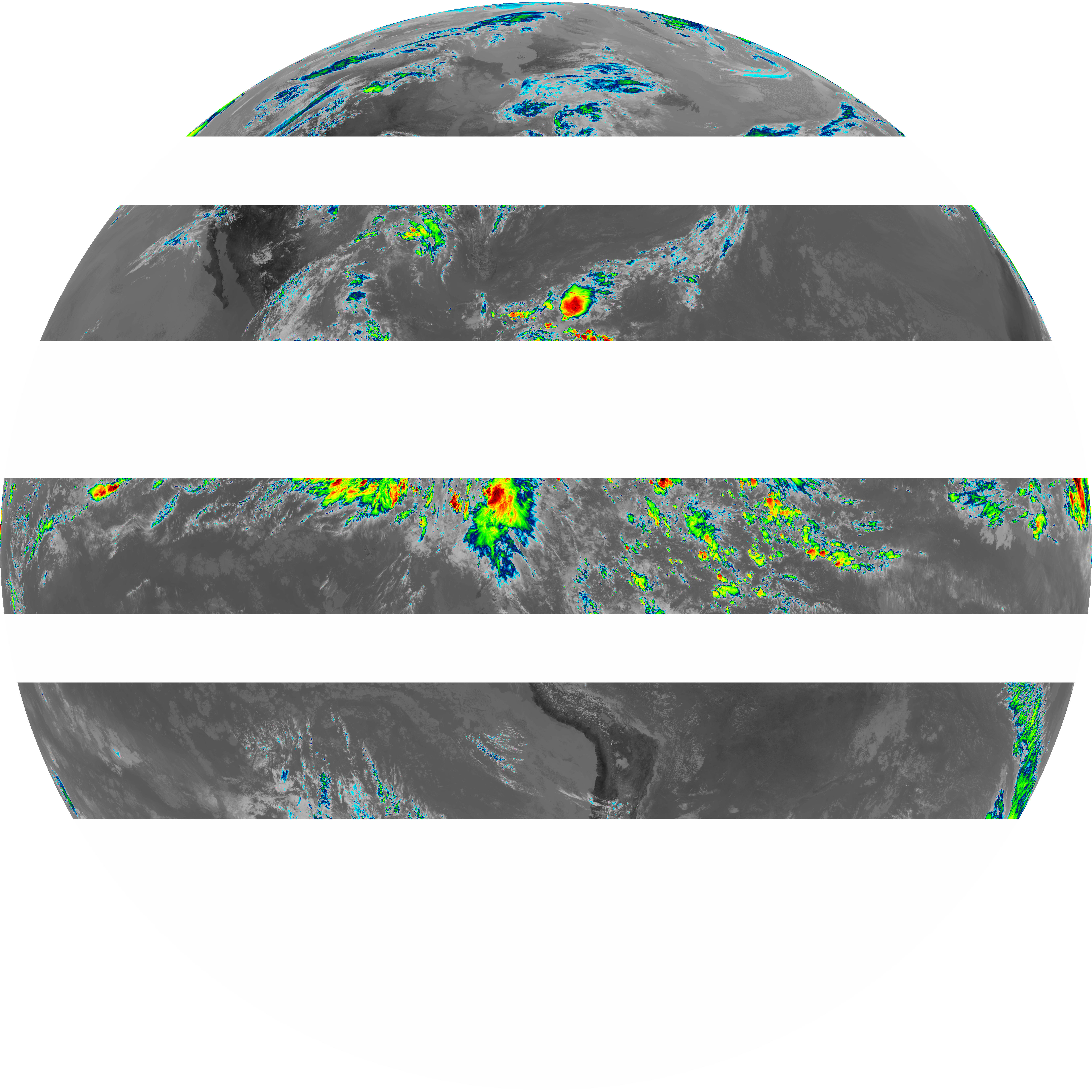
| abi_rgb_Shortwave_Window_Band.png | 14511028 | 2026-Jun-06 18:43 |
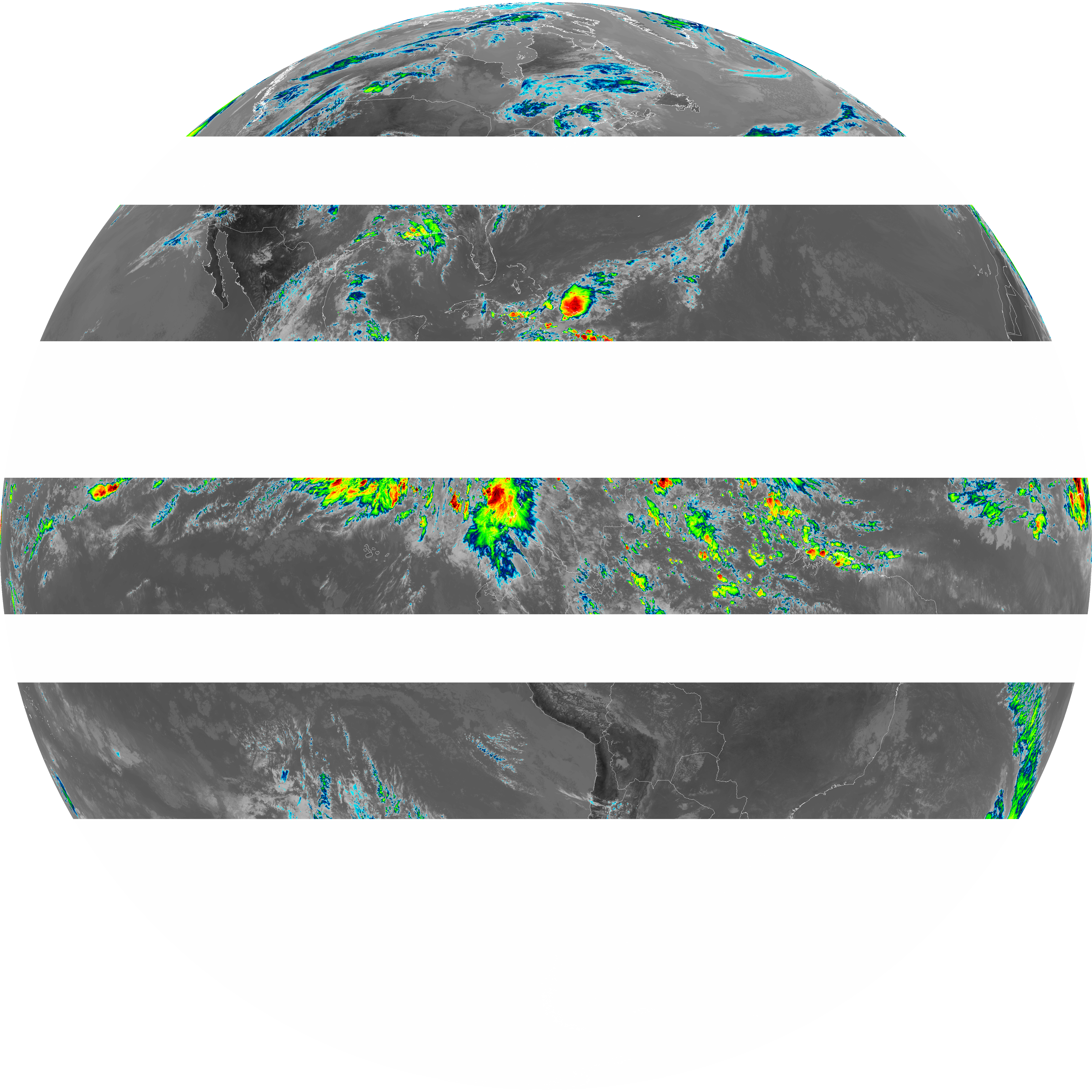
| abi_rgb_Shortwave_Window_Band_map.png | 14555108 | 2026-Jun-06 18:43 |
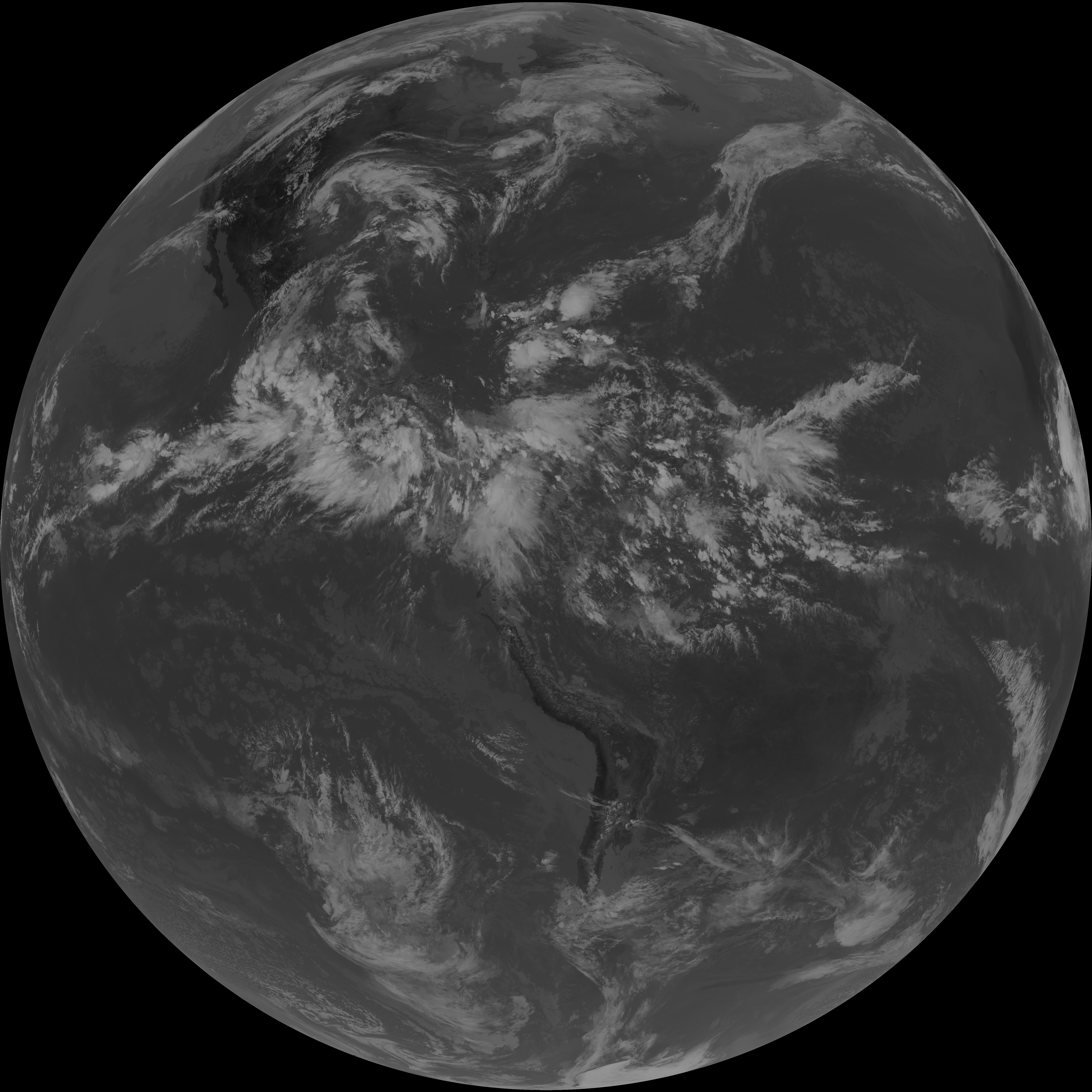
| G19_13_20260606T183021Z.png | 11072150 | 2026-Jun-06 18:46 |
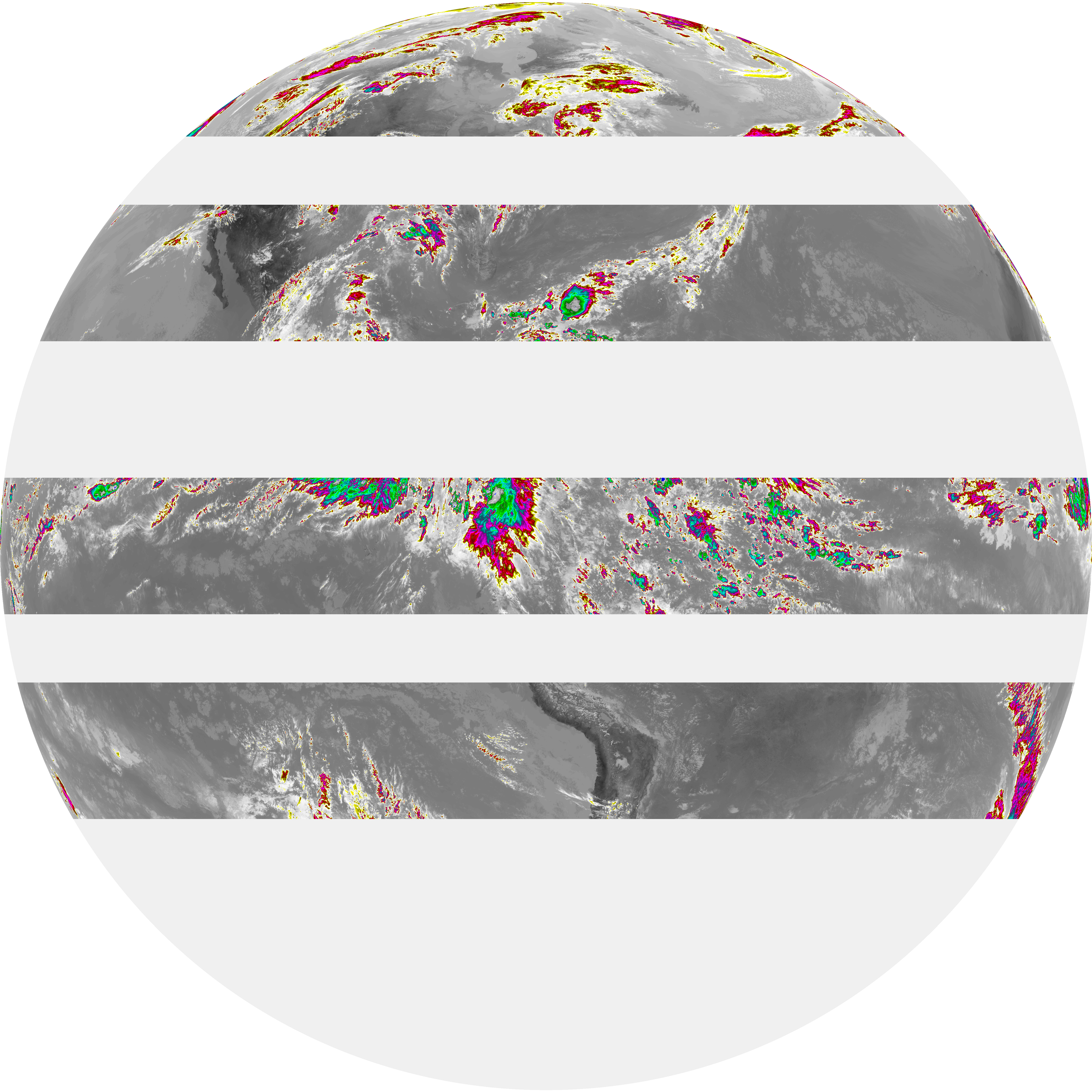
| abi_rgb_Clean_Longwave_IR_Window_Band.png | 14827529 | 2026-Jun-06 18:46 |
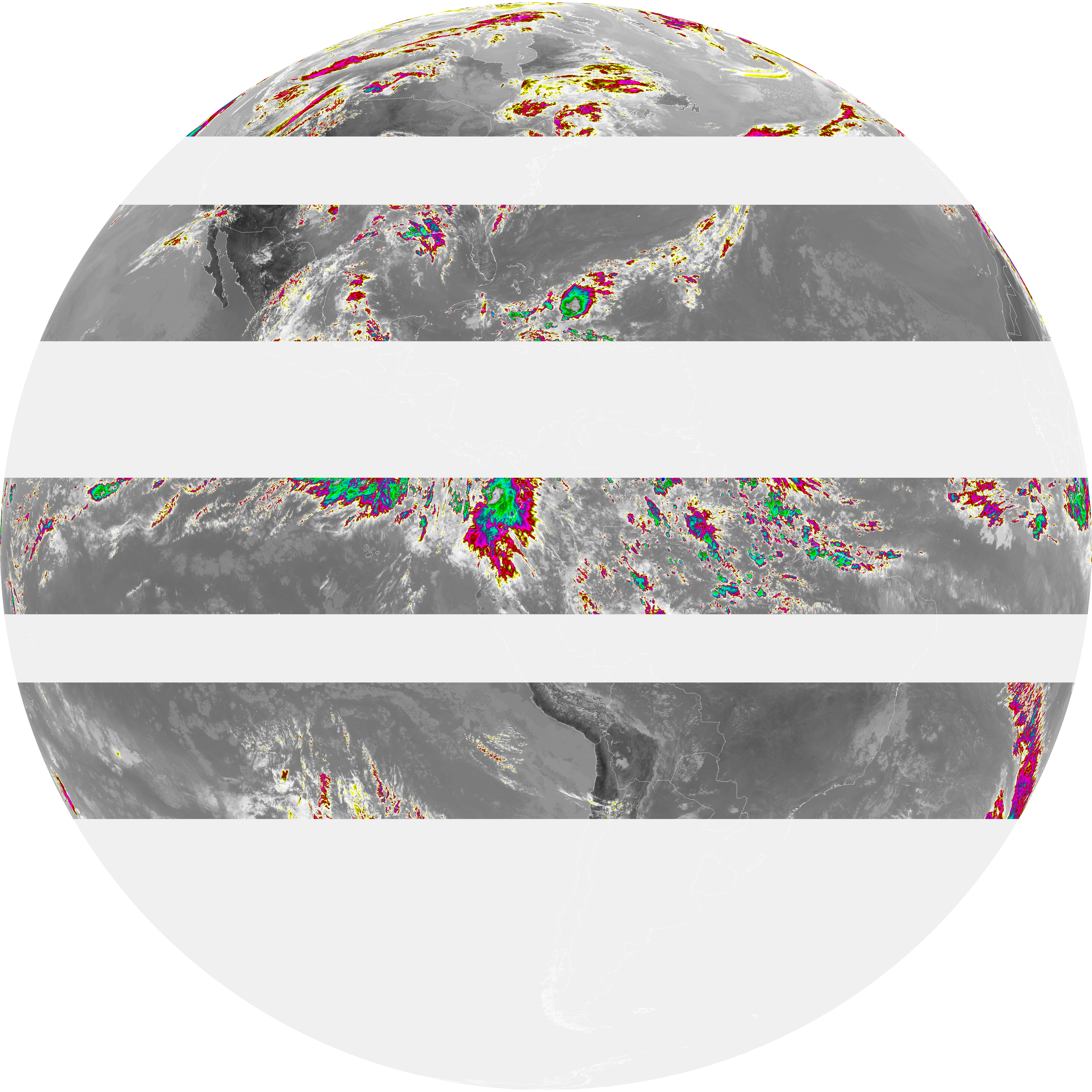
| abi_rgb_Clean_Longwave_IR_Window_Band_map.png | 14850865 | 2026-Jun-06 18:46 |
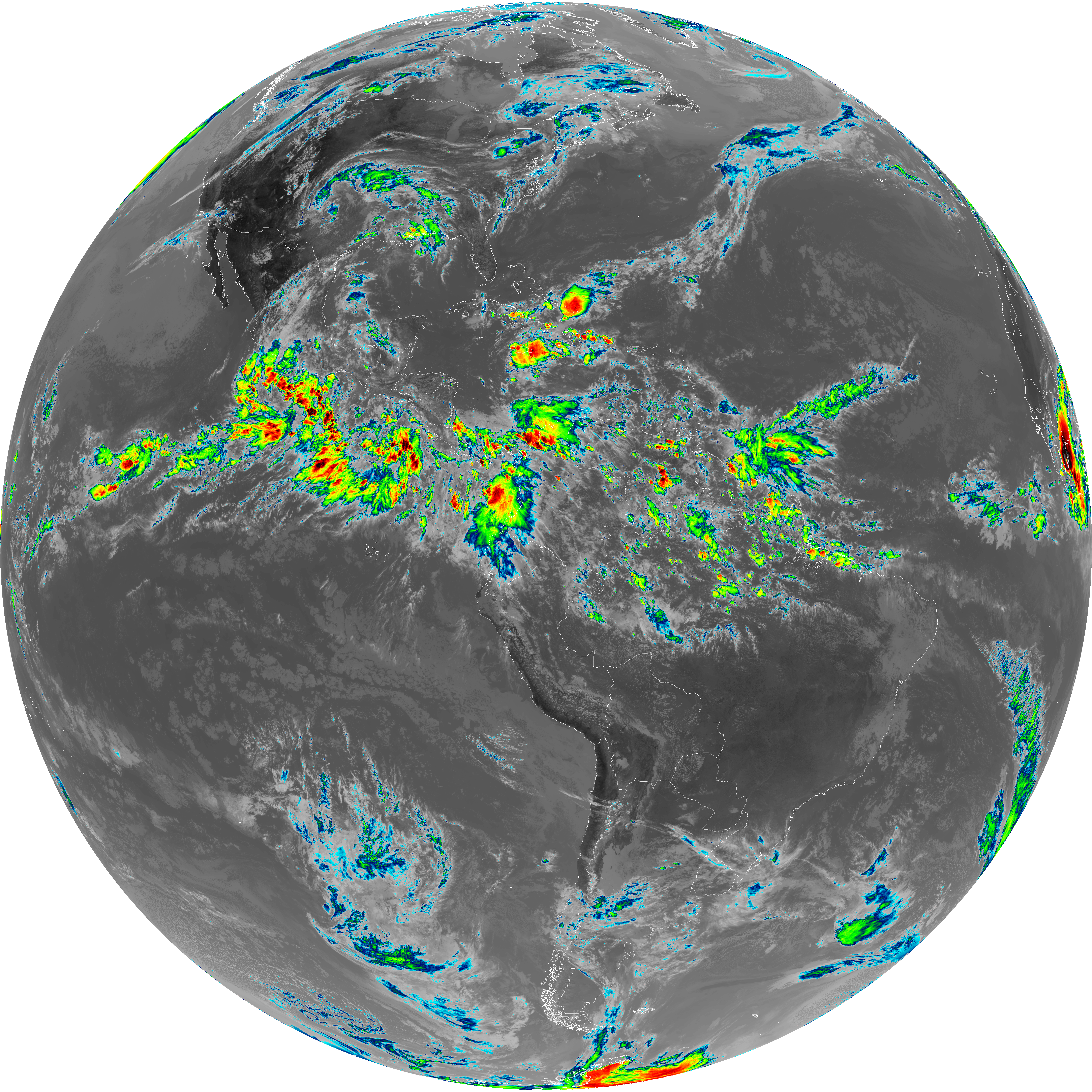
| G19_2_20260606T183021Z.png | 15833937 | 2026-Jun-06 18:51 |
| G19_8_20260606T183021Z.png | 6044004 | 2026-Jun-06 18:53 |
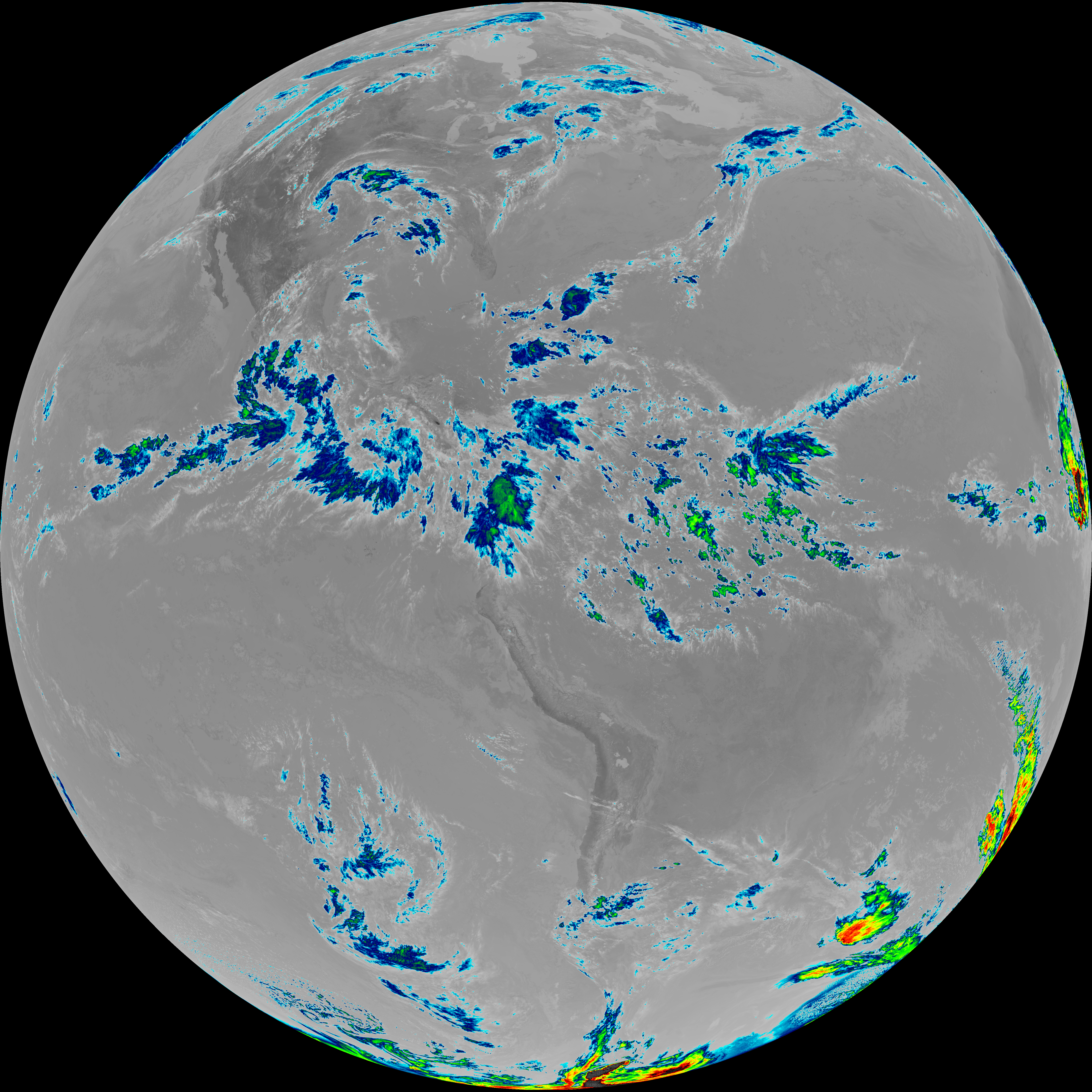
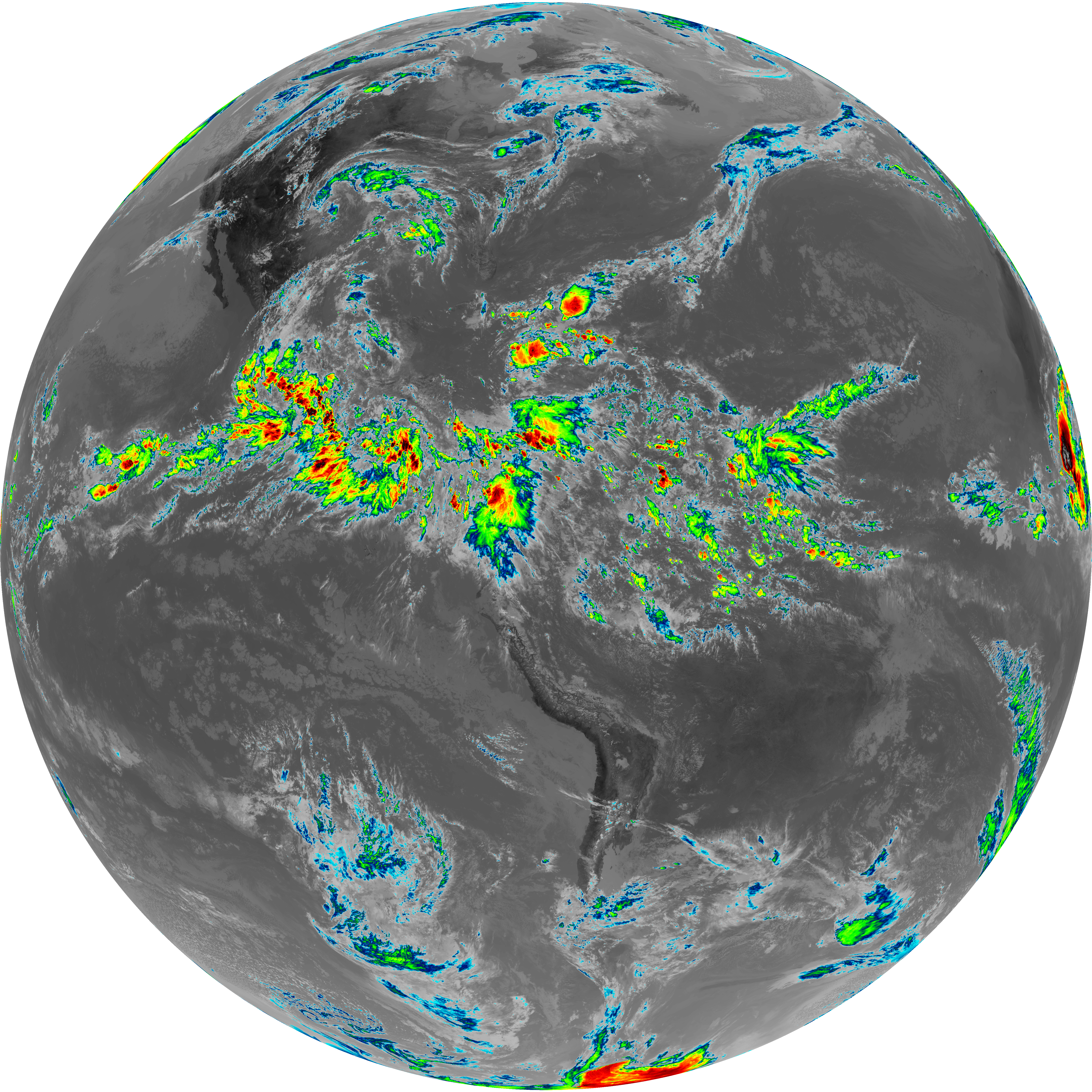
| abi_rgb_Upper-Level_Tropospheric_Water_Vapor.png | 8059808 | 2026-Jun-06 18:54 |
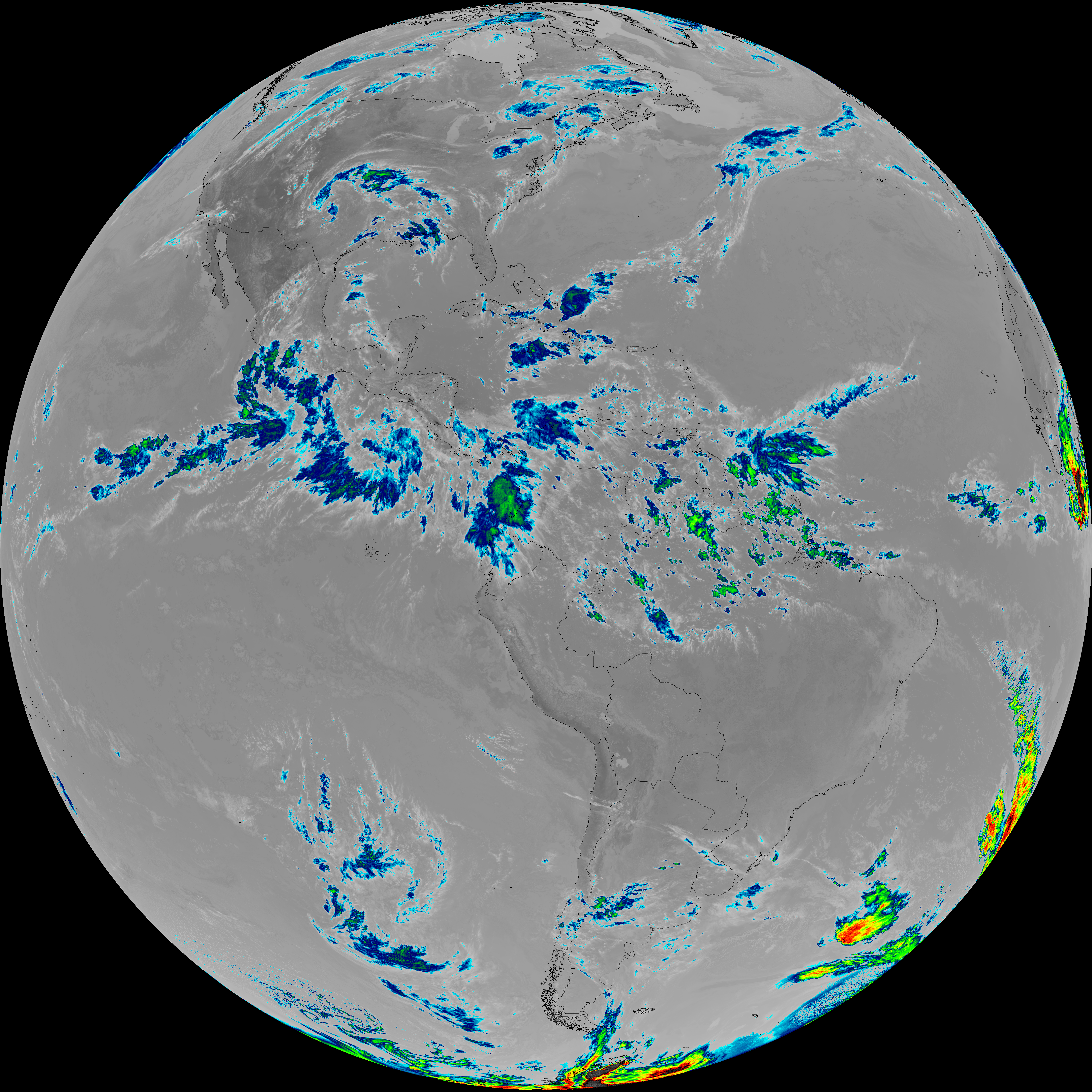
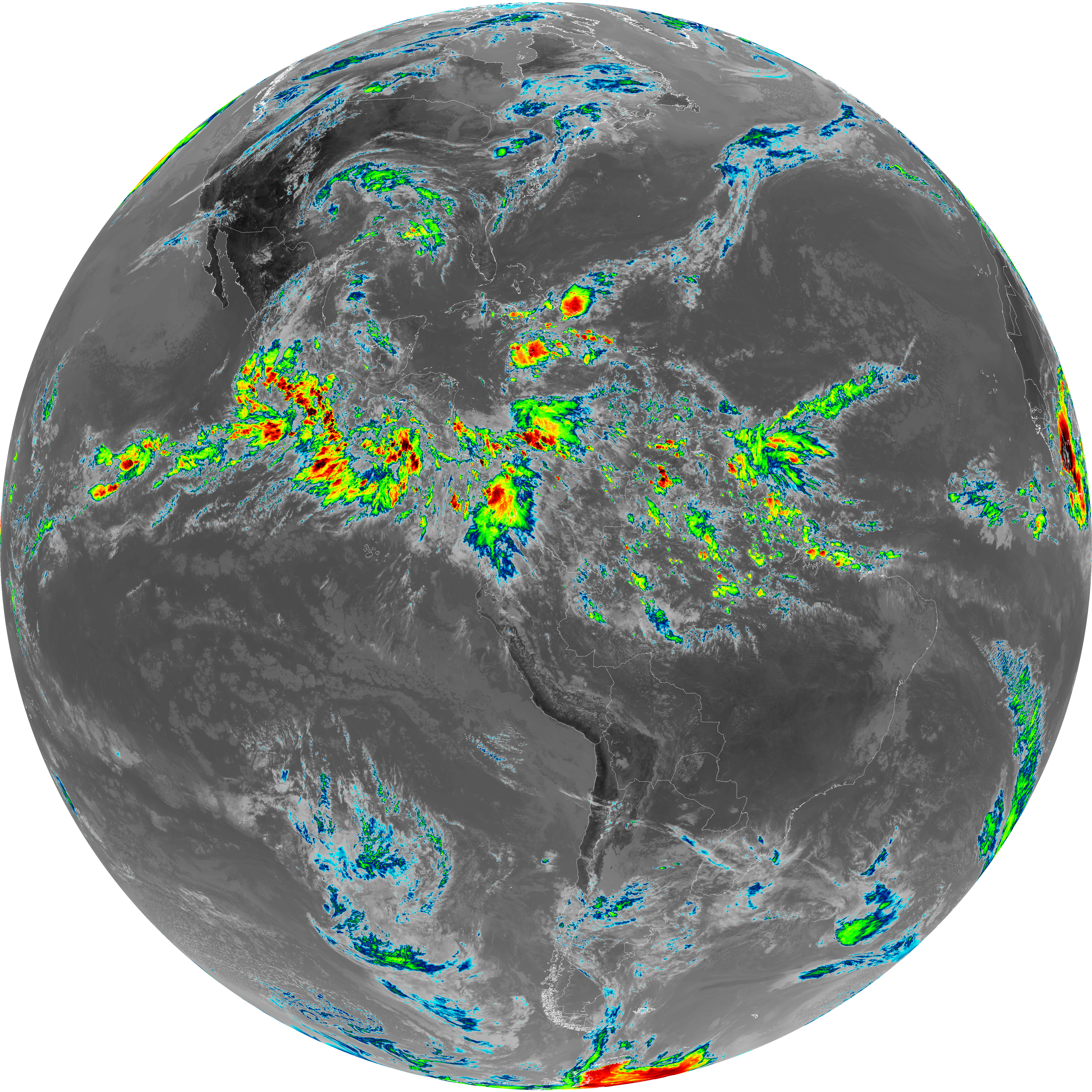
| abi_rgb_Upper-Level_Tropospheric_Water_Vapor_map.png | 8166457 | 2026-Jun-06 18:54 |
| G19_9_20260606T183021Z.png | 6975408 | 2026-Jun-06 18:55 |
| abi_rgb_Mid-level_Tropospheric_Water_Vapor.png | 9357093 | 2026-Jun-06 18:56 |
| abi_rgb_Mid-level_Tropospheric_Water_Vapor_map.png | 9452915 | 2026-Jun-06 18:56 |
| G19_14_20260606T183021Z.png | 11202085 | 2026-Jun-06 18:59 |
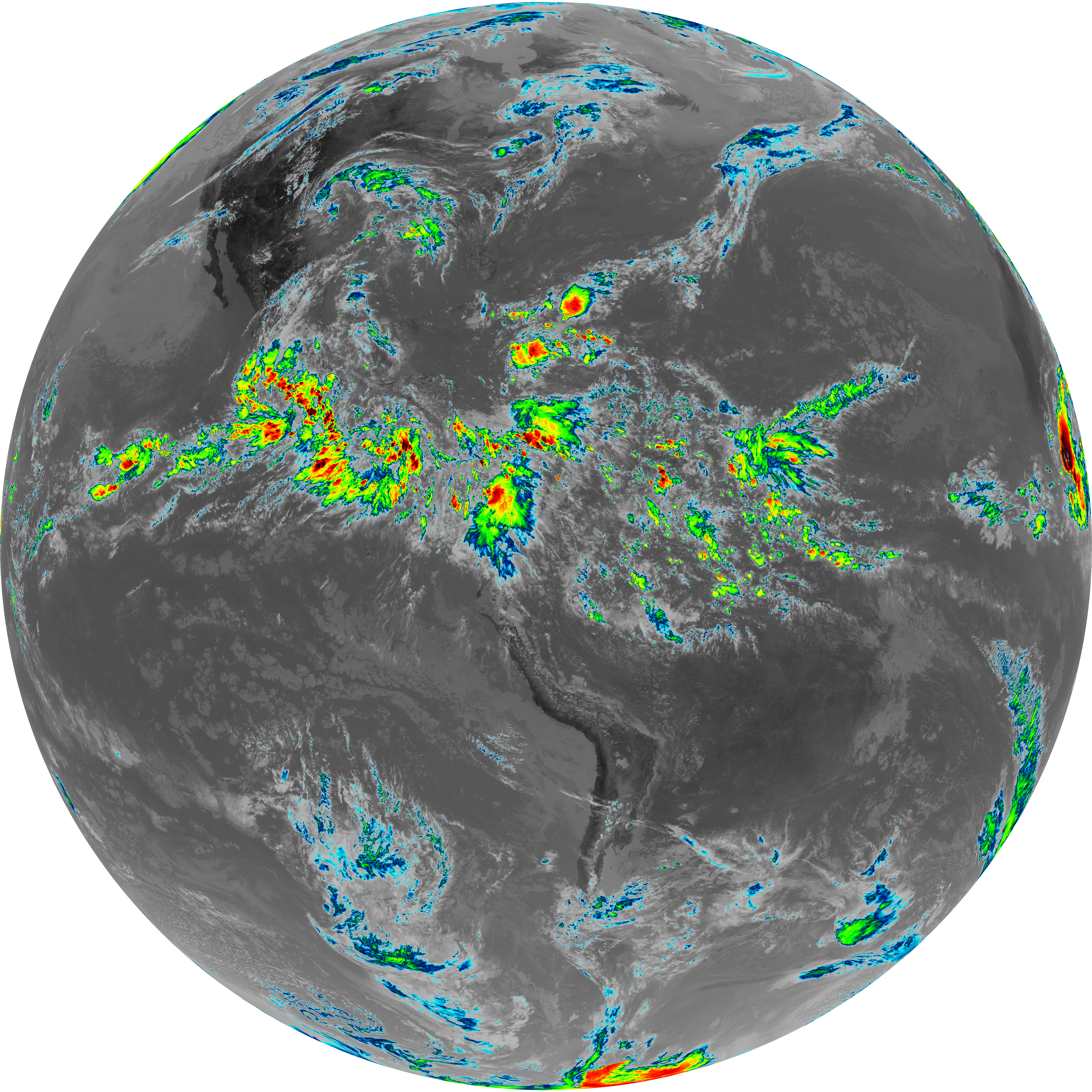
| abi_rgb_Infrared_Longwave_Window_Band.png | 14987848 | 2026-Jun-06 18:59 |
| abi_rgb_Infrared_Longwave_Window_Band_map.png | 15011467 | 2026-Jun-06 18:59 |
| G19_15_20260606T183021Z.png | 5444643 | 2026-Jun-06 19:25 |
| abi_rgb_Dirty_Longwave_Window.png | 7394338 | 2026-Jun-06 19:26 |
| abi_rgb_Dirty_Longwave_Window_map.png | 7479505 | 2026-Jun-06 19:26 |
| abi_rgb_Dirty_Longwave_Window_-_CIRA.png | 6542221 | 2026-Jun-06 19:26 |
| abi_rgb_Dirty_Longwave_Window_-_CIRA_map.png | 6639035 | 2026-Jun-06 19:26 |