| Parent directory/ | - | - |
| G19_13_20260606T190021Z.png | 11033710 | 2026-Jun-06 19:16 |
| G19_14_20260606T190021Z.png | 11166358 | 2026-Jun-06 19:25 |
| G19_15_20260606T190021Z.png | 10885744 | 2026-Jun-06 19:28 |
| G19_2_20260606T190021Z.png | 15266534 | 2026-Jun-06 19:22 |
| G19_7_20260606T190021Z.png | 10572029 | 2026-Jun-06 19:13 |
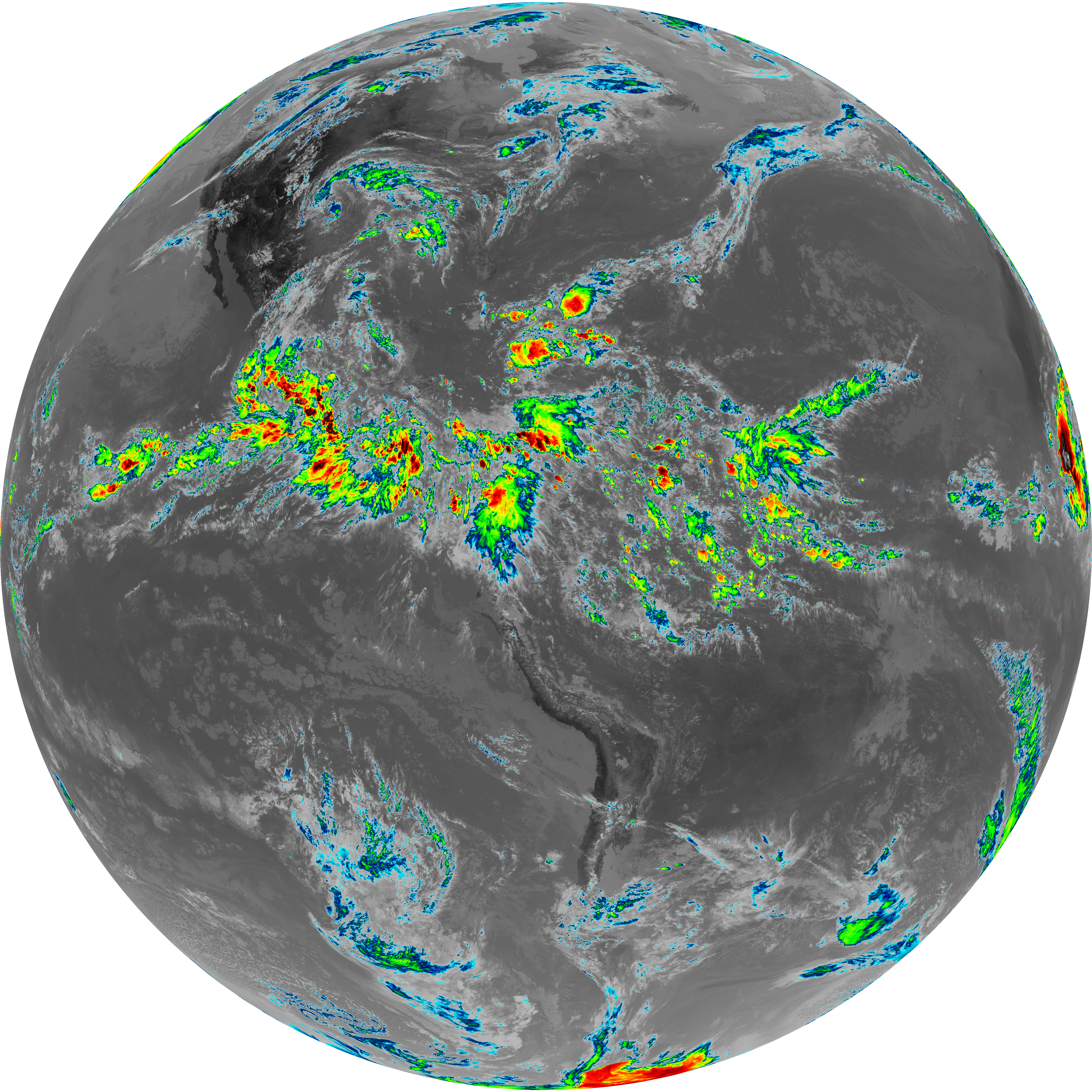
| G19_8_20260606T190021Z.png | 6080410 | 2026-Jun-06 19:30 |
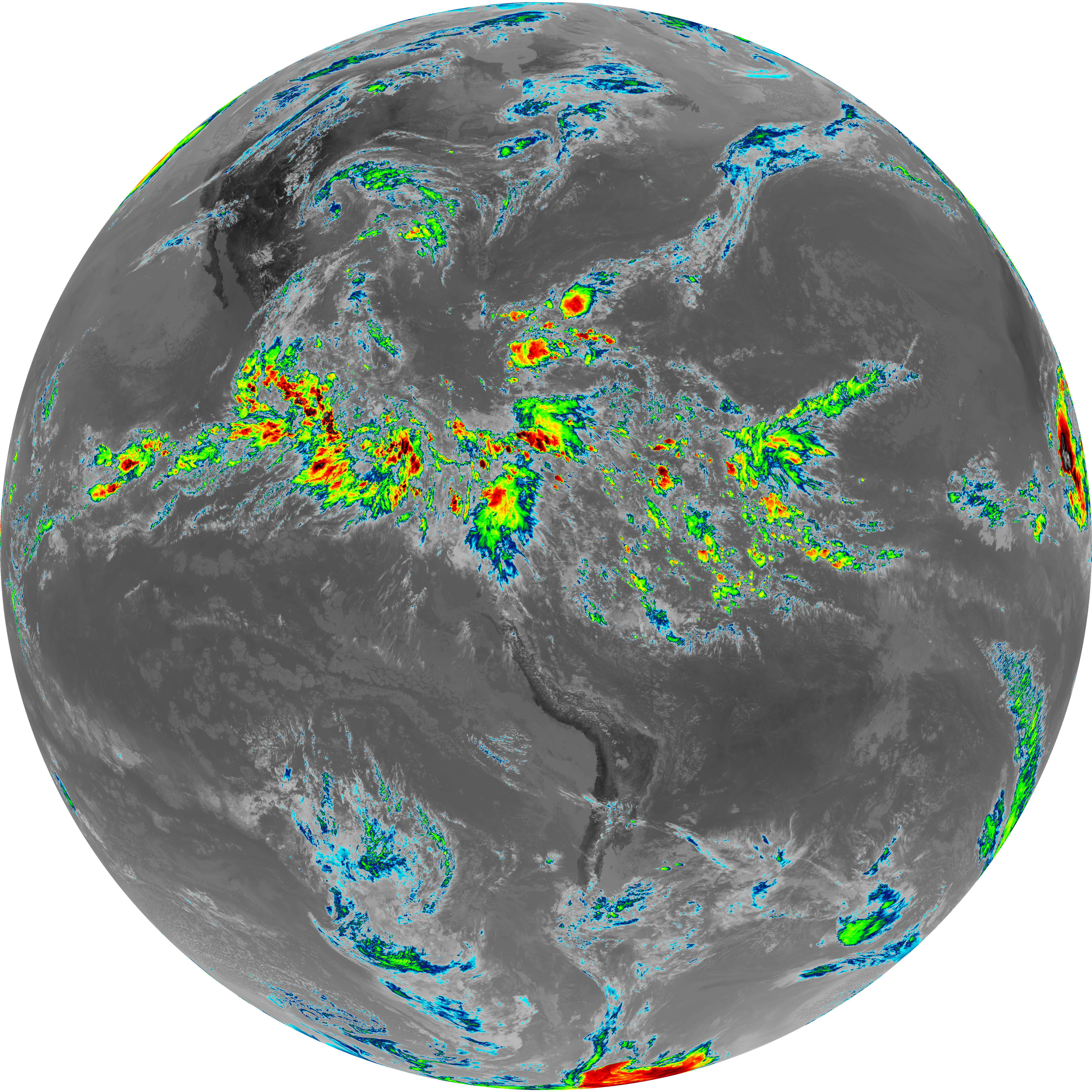
| G19_9_20260606T190021Z.png | 5759622 | 2026-Jun-06 19:53 |
| abi_rgb_Clean_Longwave_IR_Window_Band.png | 14788389 | 2026-Jun-06 19:17 |
| abi_rgb_Clean_Longwave_IR_Window_Band_map.png | 14814502 | 2026-Jun-06 19:17 |
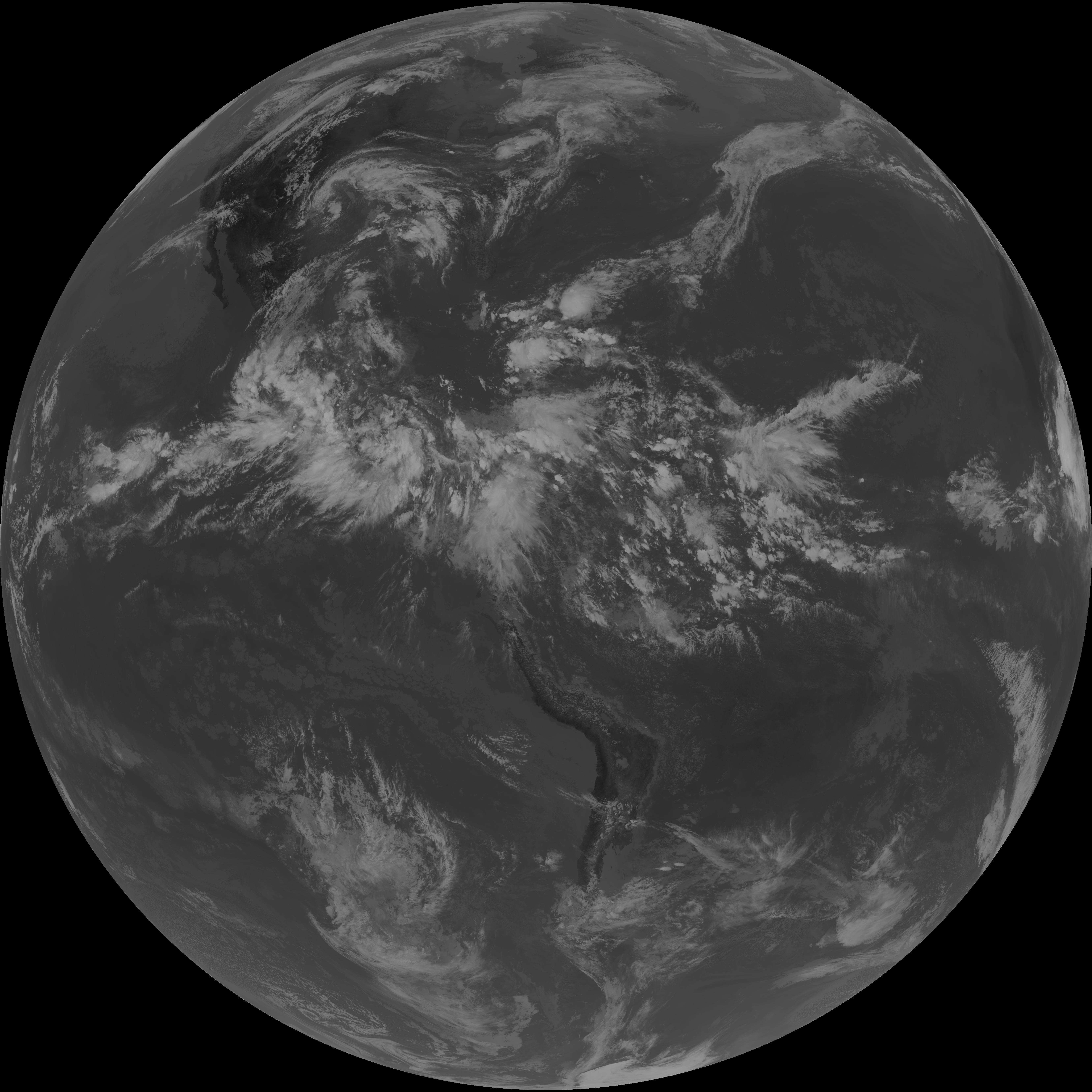
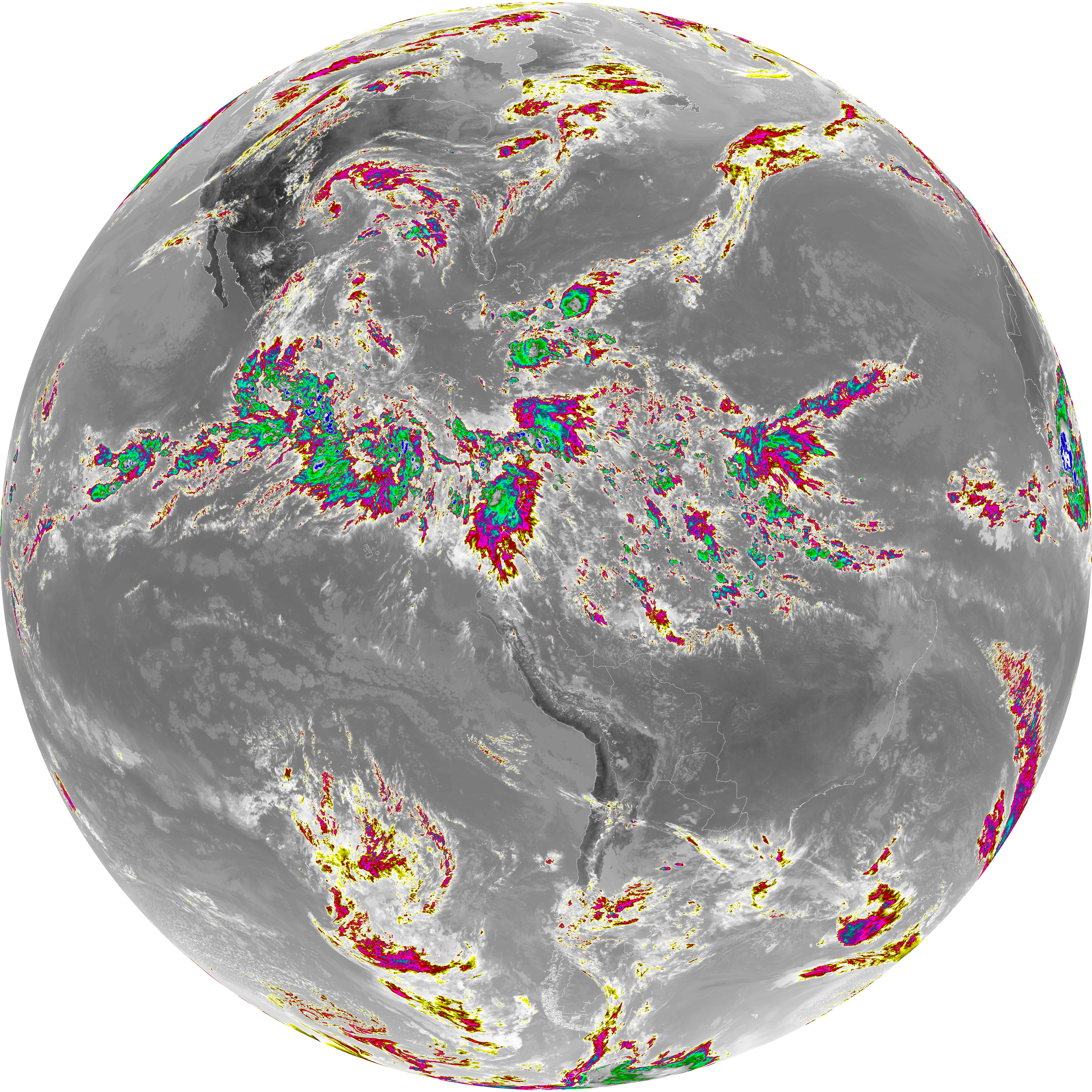
| abi_rgb_Dirty_Longwave_Window.png | 14624410 | 2026-Jun-06 19:28 |
| abi_rgb_Dirty_Longwave_Window_-_CIRA.png | 12965086 | 2026-Jun-06 19:29 |
| abi_rgb_Dirty_Longwave_Window_-_CIRA_map.png | 13009443 | 2026-Jun-06 19:29 |
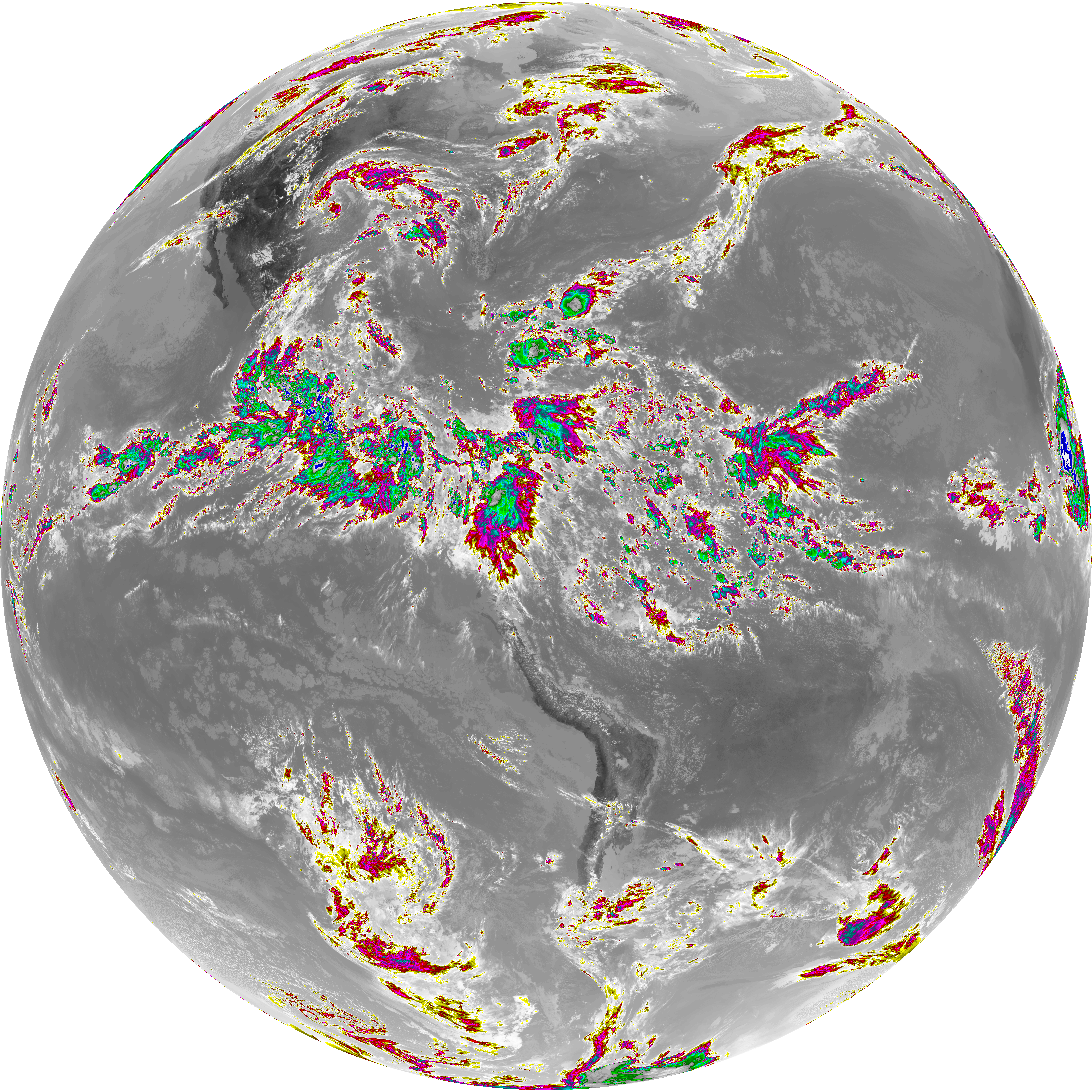
| abi_rgb_Dirty_Longwave_Window_map.png | 14654222 | 2026-Jun-06 19:28 |
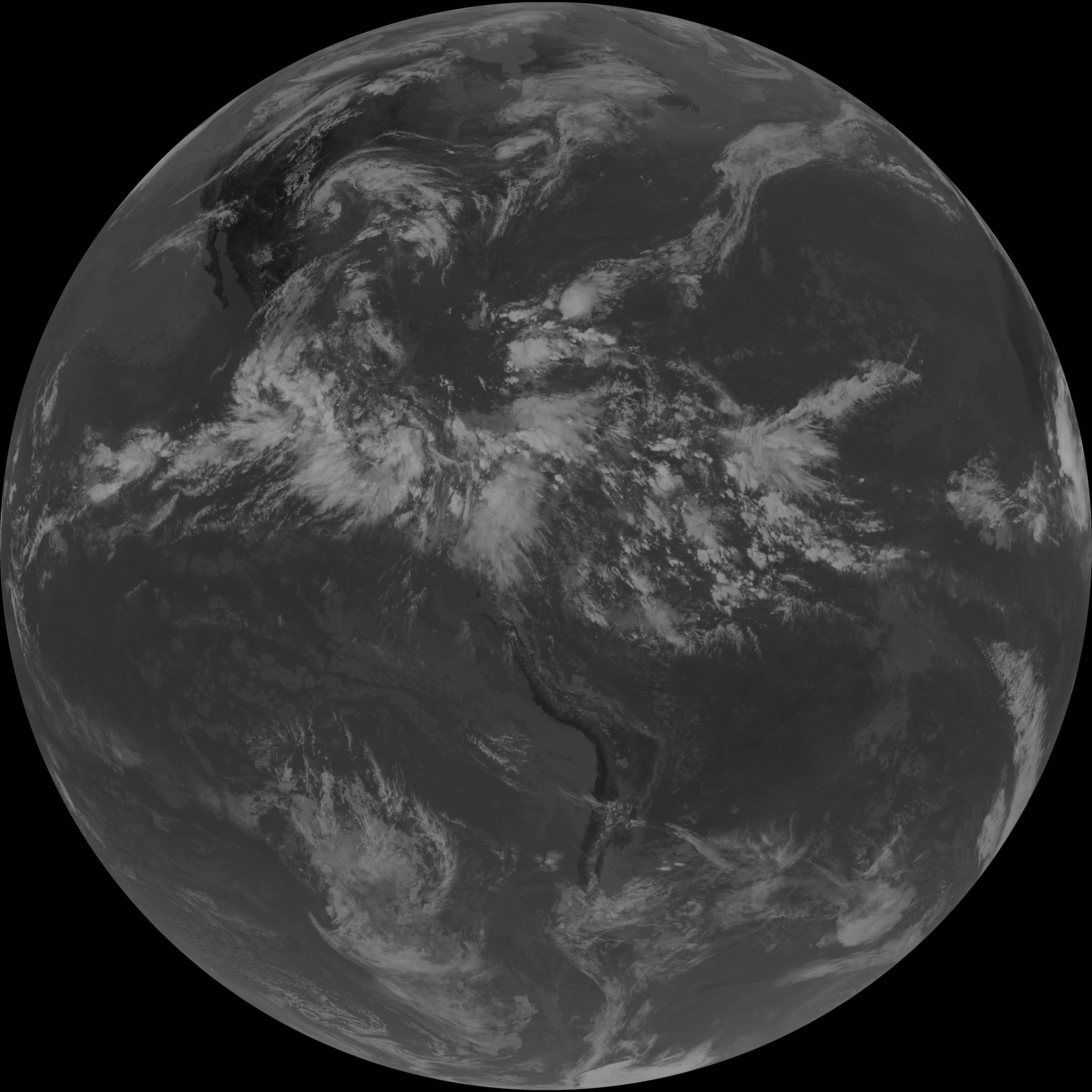
| abi_rgb_Infrared_Longwave_Window_Band.png | 14952680 | 2026-Jun-06 19:25 |
| abi_rgb_Infrared_Longwave_Window_Band_map.png | 14978363 | 2026-Jun-06 19:25 |
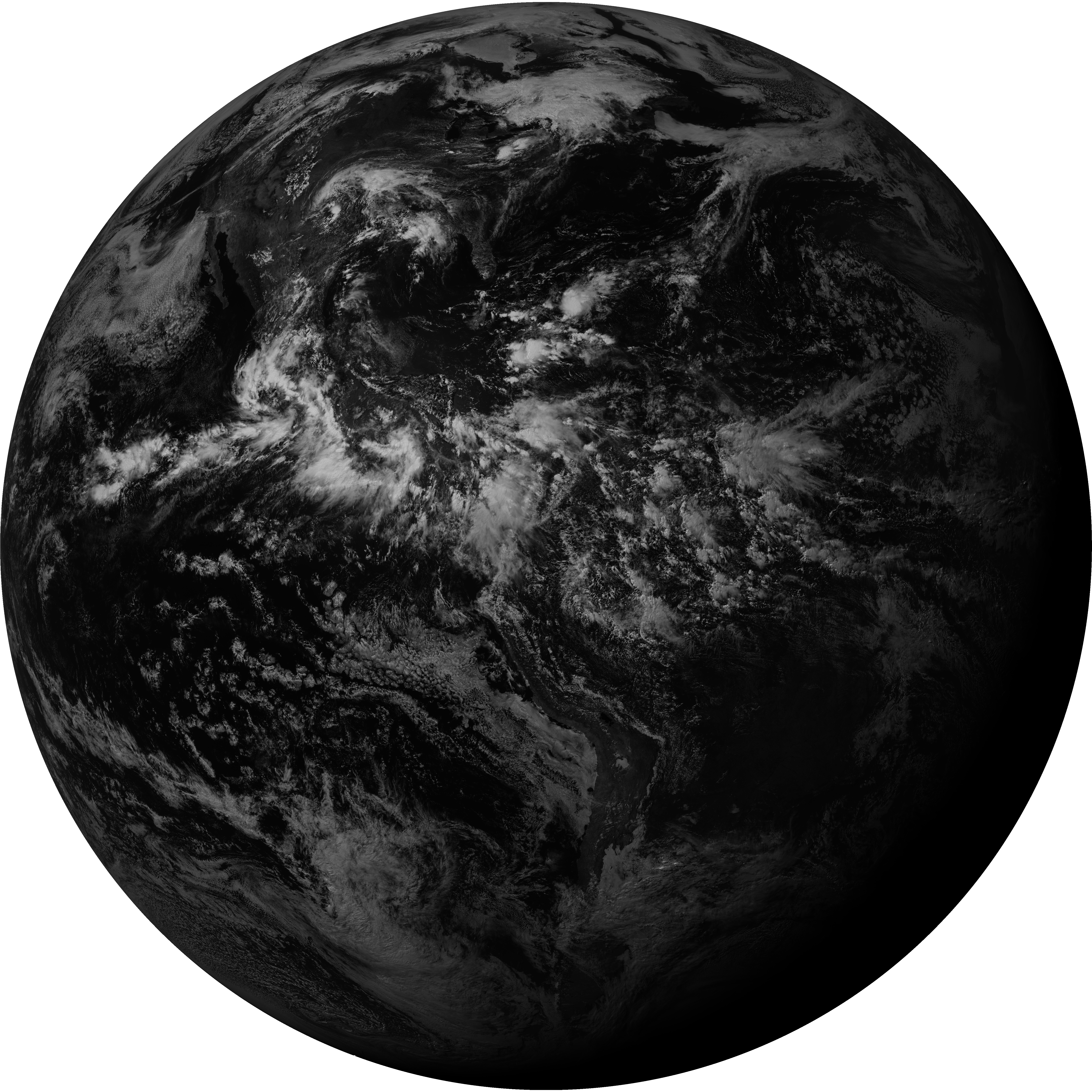
| abi_rgb_Mid-level_Tropospheric_Water_Vapor.png | 7728295 | 2026-Jun-06 19:54 |
| abi_rgb_Mid-level_Tropospheric_Water_Vapor_map.png | 7837445 | 2026-Jun-06 19:54 |
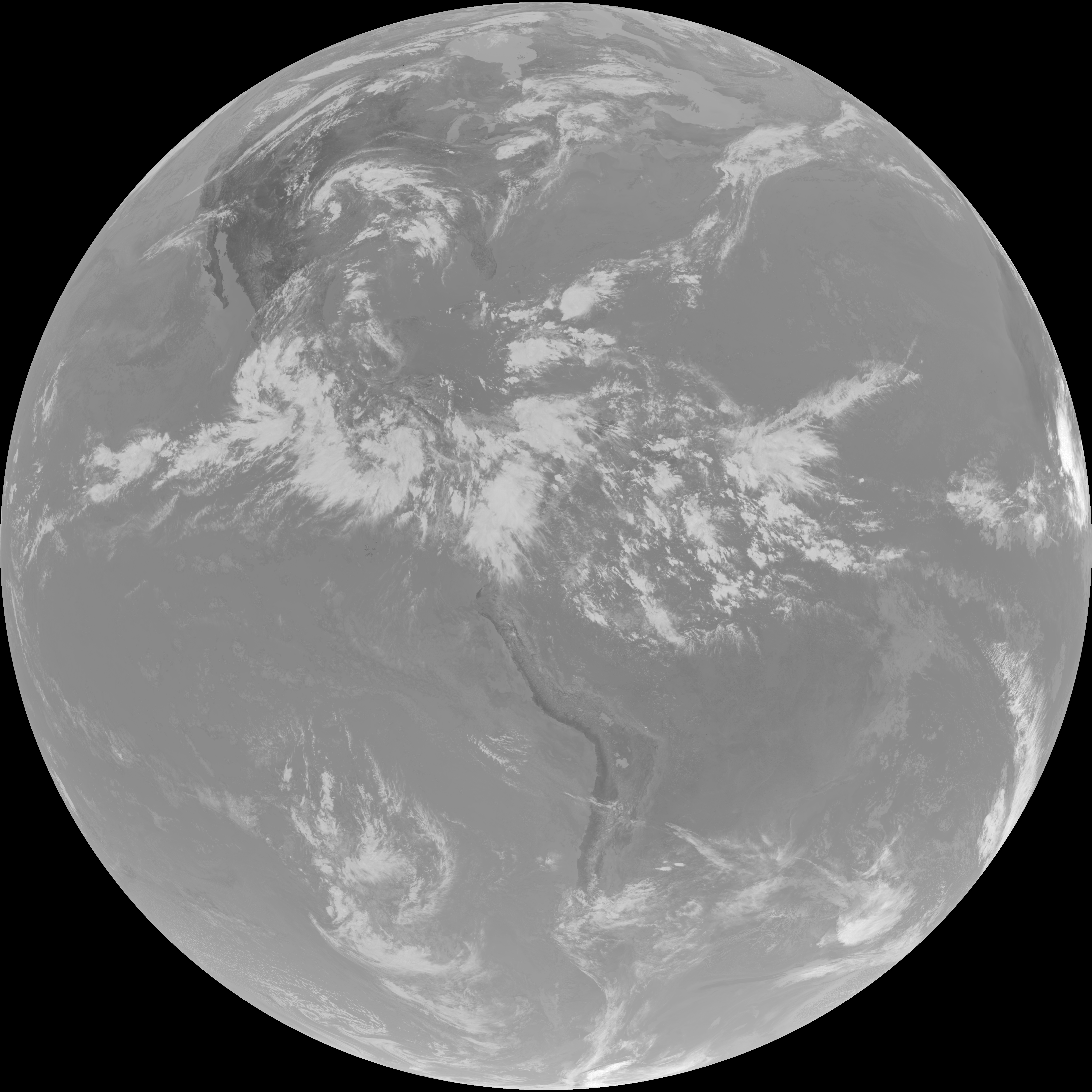
| abi_rgb_Shortwave_Window_Band.png | 14435076 | 2026-Jun-06 19:13 |
| abi_rgb_Shortwave_Window_Band_map.png | 14481143 | 2026-Jun-06 19:14 |
| abi_rgb_Upper-Level_Tropospheric_Water_Vapor.png | 8106619 | 2026-Jun-06 19:30 |
| abi_rgb_Upper-Level_Tropospheric_Water_Vapor_map.png | 8212812 | 2026-Jun-06 19:30 |