| Parent directory/ | - | - |
| abi_rgb_Infrared_Longwave_Window_Band_map.png | 14920041 | 2026-Jun-06 19:59 |
| abi_rgb_Infrared_Longwave_Window_Band.png | 14892821 | 2026-Jun-06 19:59 |
| abi_rgb_Clean_Longwave_IR_Window_Band_map.png | 14743212 | 2026-Jun-06 19:47 |
| abi_rgb_Clean_Longwave_IR_Window_Band.png | 14716204 | 2026-Jun-06 19:47 |
| abi_rgb_Shortwave_Window_Band_map.png | 14455139 | 2026-Jun-06 19:44 |
| abi_rgb_Shortwave_Window_Band.png | 14408757 | 2026-Jun-06 19:44 |
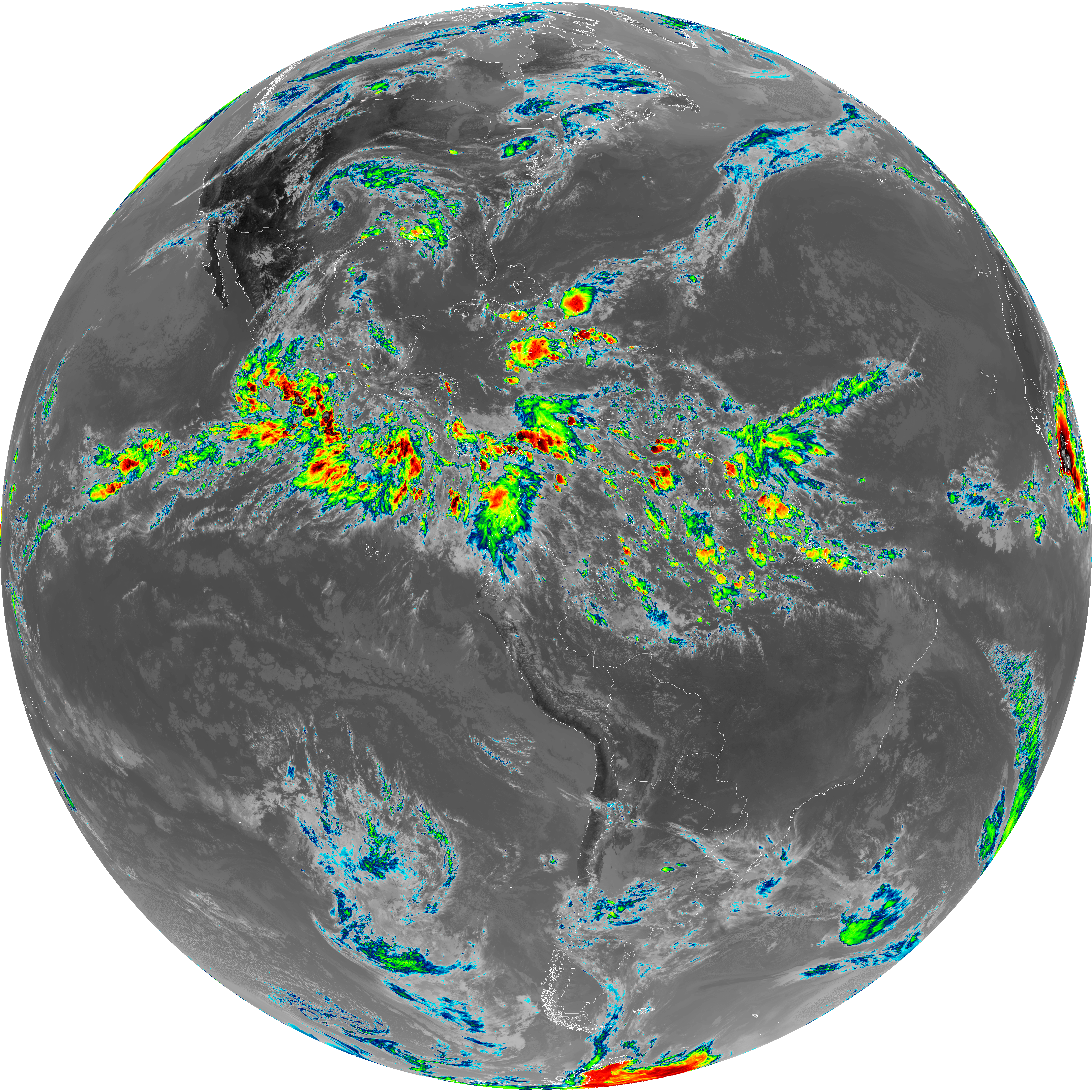
| G19_2_20260606T193021Z.png | 14324692 | 2026-Jun-06 19:51 |
| abi_rgb_Dirty_Longwave_Window_map.png | 12050372 | 2026-Jun-06 20:28 |
| abi_rgb_Dirty_Longwave_Window.png | 11993966 | 2026-Jun-06 20:28 |
| G19_14_20260606T193021Z.png | 11113090 | 2026-Jun-06 19:58 |
| G19_13_20260606T193021Z.png | 10970057 | 2026-Jun-06 19:47 |
| abi_rgb_Dirty_Longwave_Window_-_CIRA_map.png | 10693354 | 2026-Jun-06 20:29 |
| abi_rgb_Dirty_Longwave_Window_-_CIRA.png | 10624553 | 2026-Jun-06 20:29 |
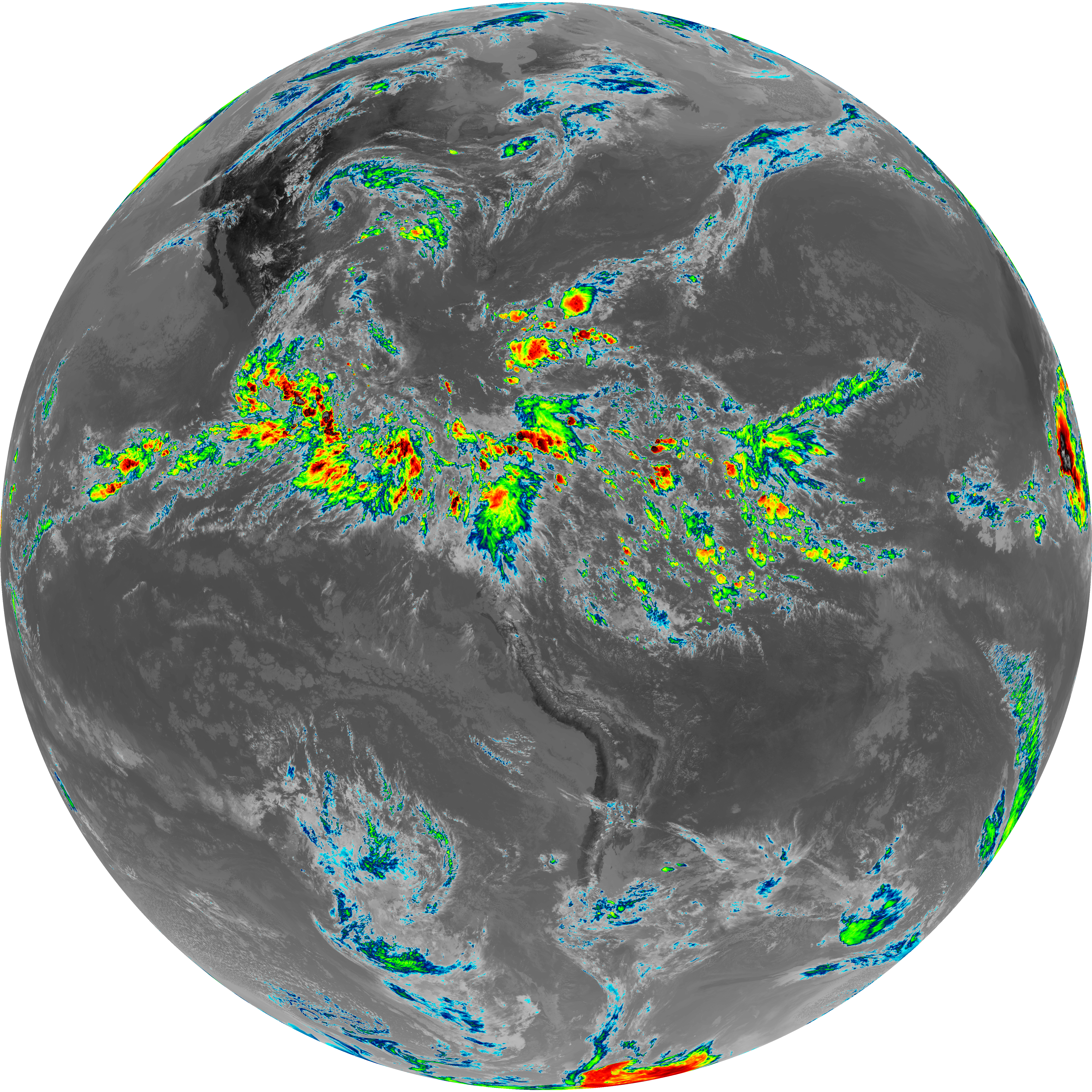
| G19_7_20260606T193021Z.png | 10537897 | 2026-Jun-06 19:43 |
| abi_rgb_Mid-level_Tropospheric_Water_Vapor_map.png | 9540535 | 2026-Jun-06 19:56 |
| abi_rgb_Mid-level_Tropospheric_Water_Vapor.png | 9445469 | 2026-Jun-06 19:56 |
| G19_15_20260606T193021Z.png | 8918402 | 2026-Jun-06 20:28 |
| abi_rgb_Upper-Level_Tropospheric_Water_Vapor_map.png | 8242683 | 2026-Jun-06 19:54 |
| abi_rgb_Upper-Level_Tropospheric_Water_Vapor.png | 8136819 | 2026-Jun-06 19:54 |
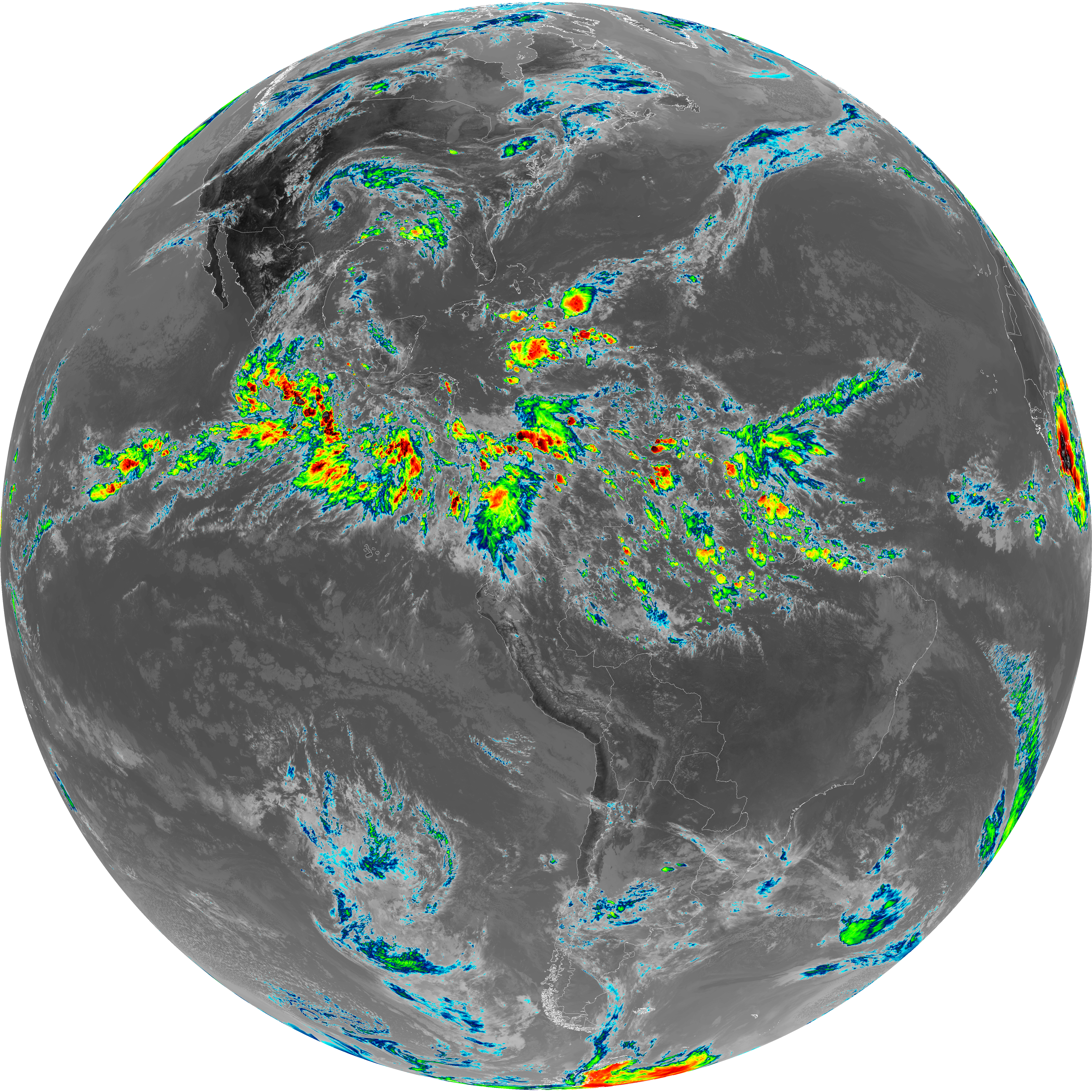
| G19_9_20260606T193021Z.png | 7046612 | 2026-Jun-06 19:56 |
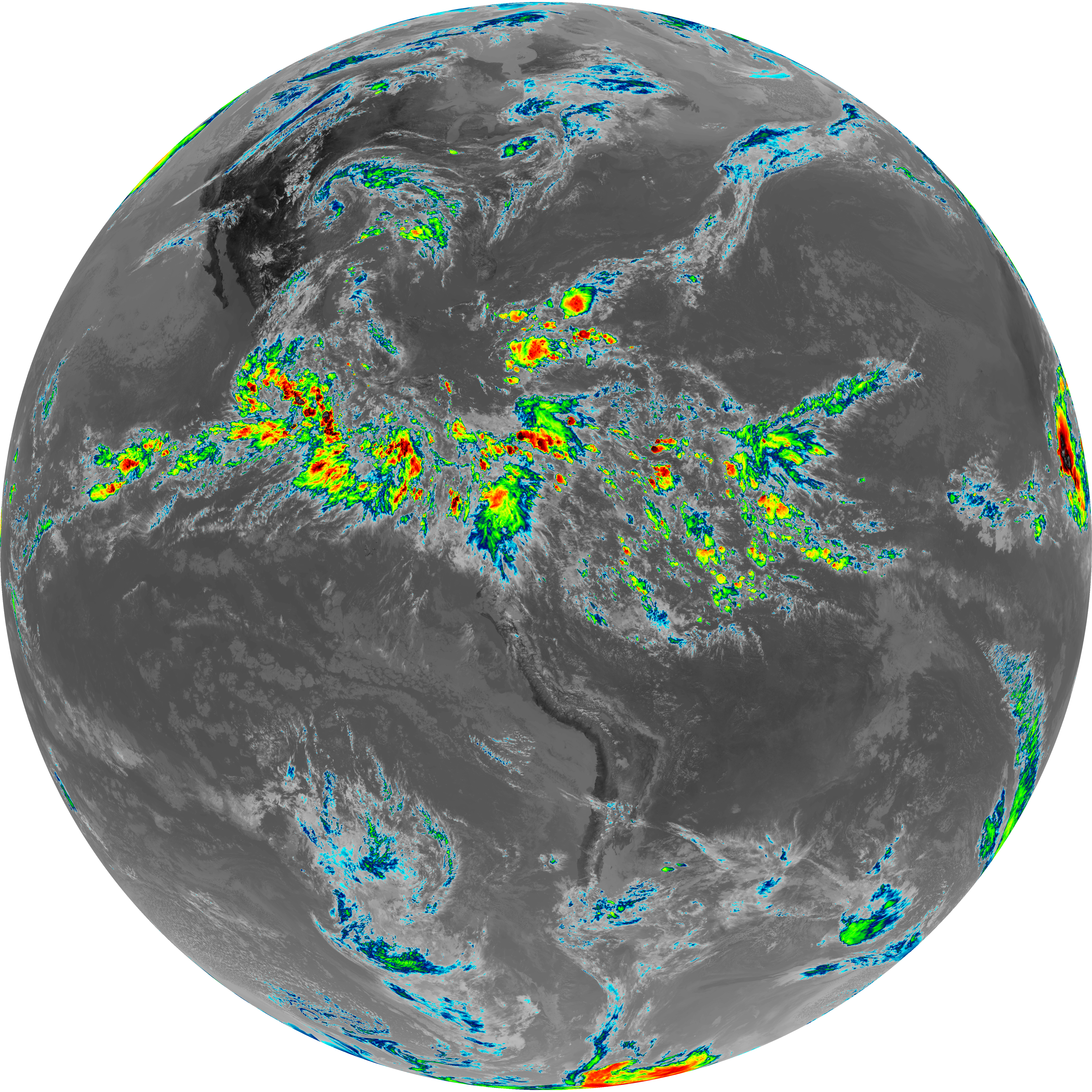
| G19_8_20260606T193021Z.png | 6100525 | 2026-Jun-06 19:53 |