| Parent directory/ | - | - |
| G19_8_20260606T203021Z.png | 6113510 | 2026-Jun-06 20:52 |
| G19_9_20260606T203021Z.png | 7068212 | 2026-Jun-06 20:54 |
| abi_rgb_Upper-Level_Tropospheric_Water_Vapor.png | 8158617 | 2026-Jun-06 20:52 |
| abi_rgb_Upper-Level_Tropospheric_Water_Vapor_map.png | 8265248 | 2026-Jun-06 20:52 |
| abi_rgb_Mid-level_Tropospheric_Water_Vapor.png | 9474767 | 2026-Jun-06 20:54 |
| abi_rgb_Mid-level_Tropospheric_Water_Vapor_map.png | 9569912 | 2026-Jun-06 20:55 |
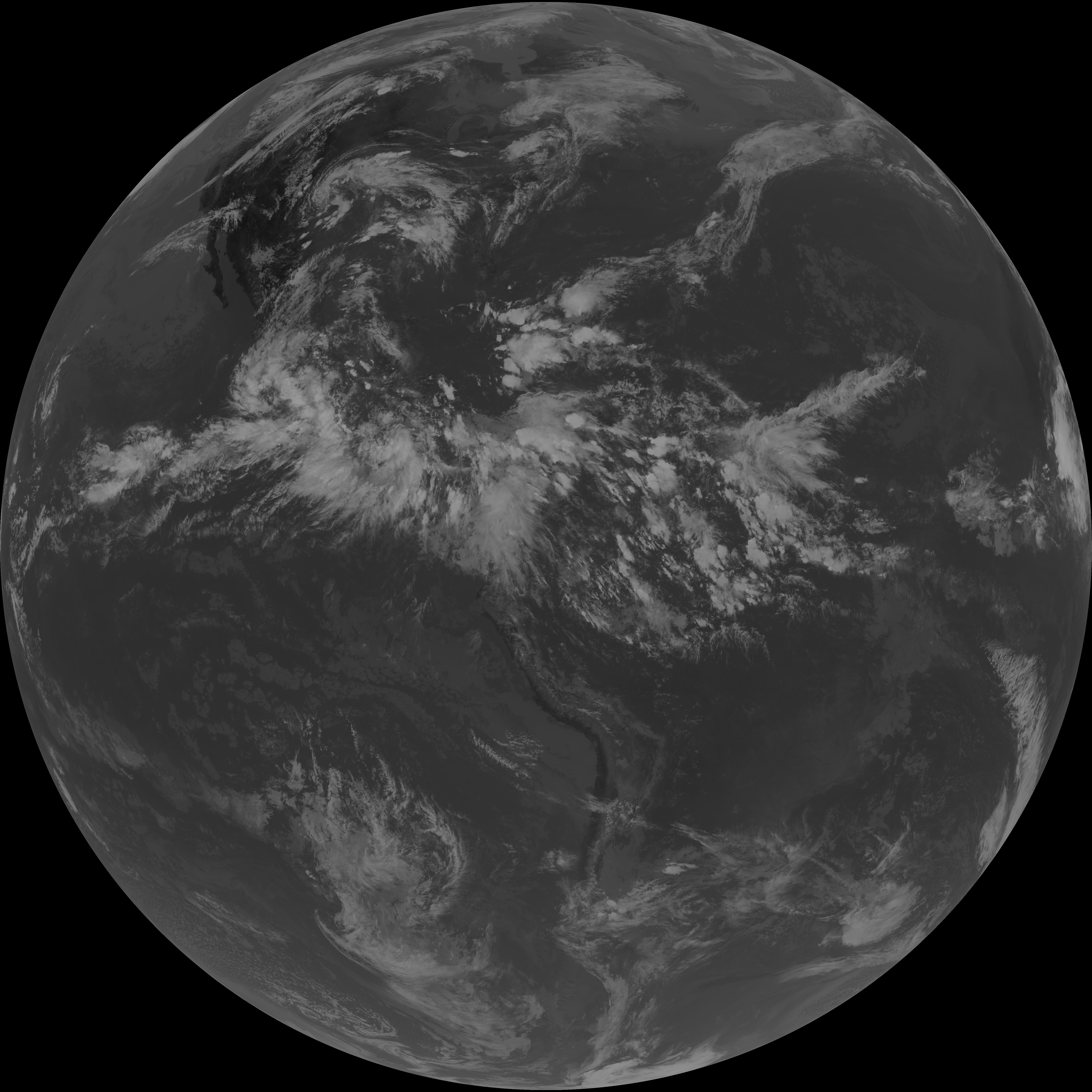
| G19_7_20260606T203021Z.png | 10524722 | 2026-Jun-06 20:43 |
| G19_15_20260606T203021Z.png | 10722399 | 2026-Jun-06 21:00 |
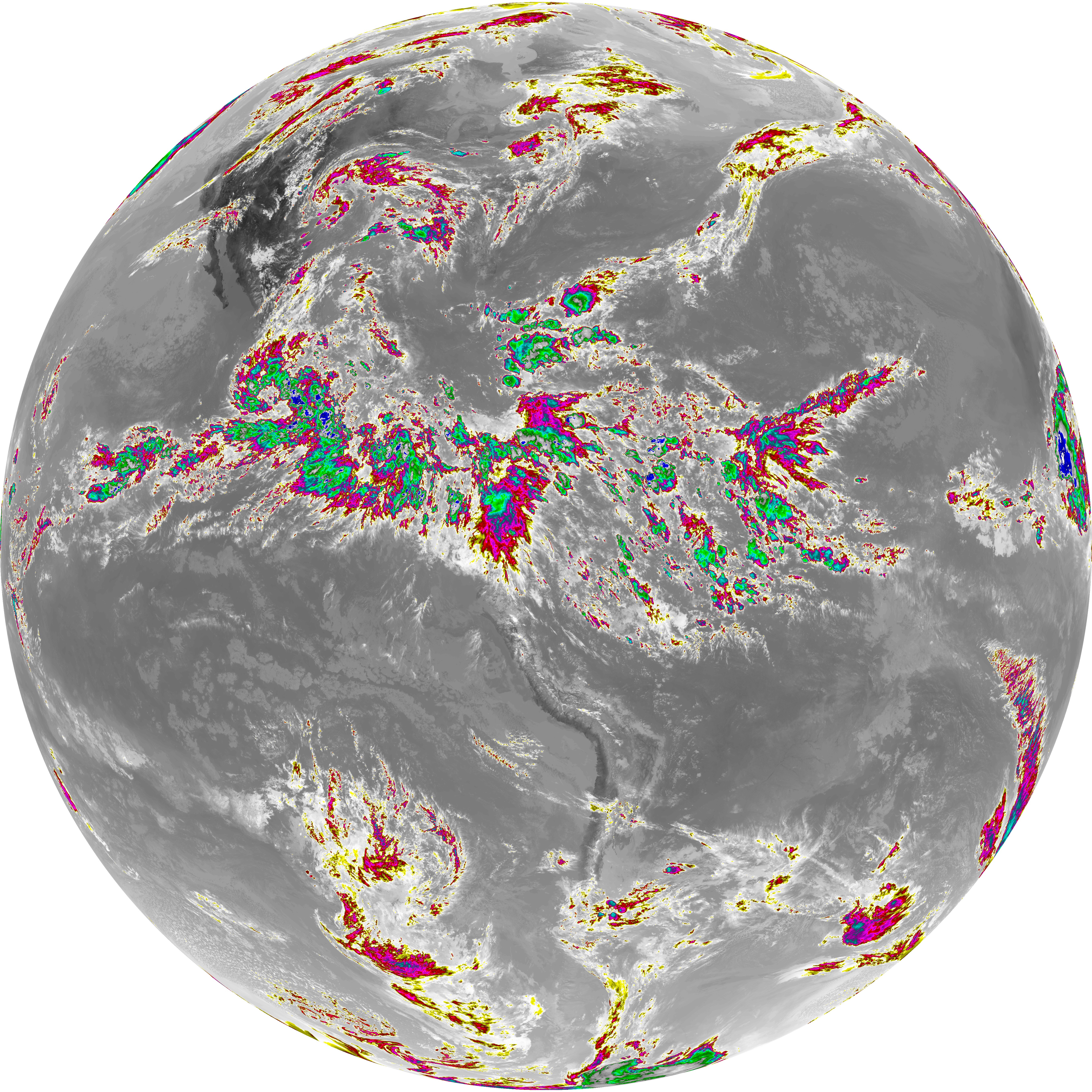
| G19_13_20260606T203021Z.png | 10839877 | 2026-Jun-06 20:46 |
| G19_14_20260606T203021Z.png | 10988567 | 2026-Jun-06 20:57 |
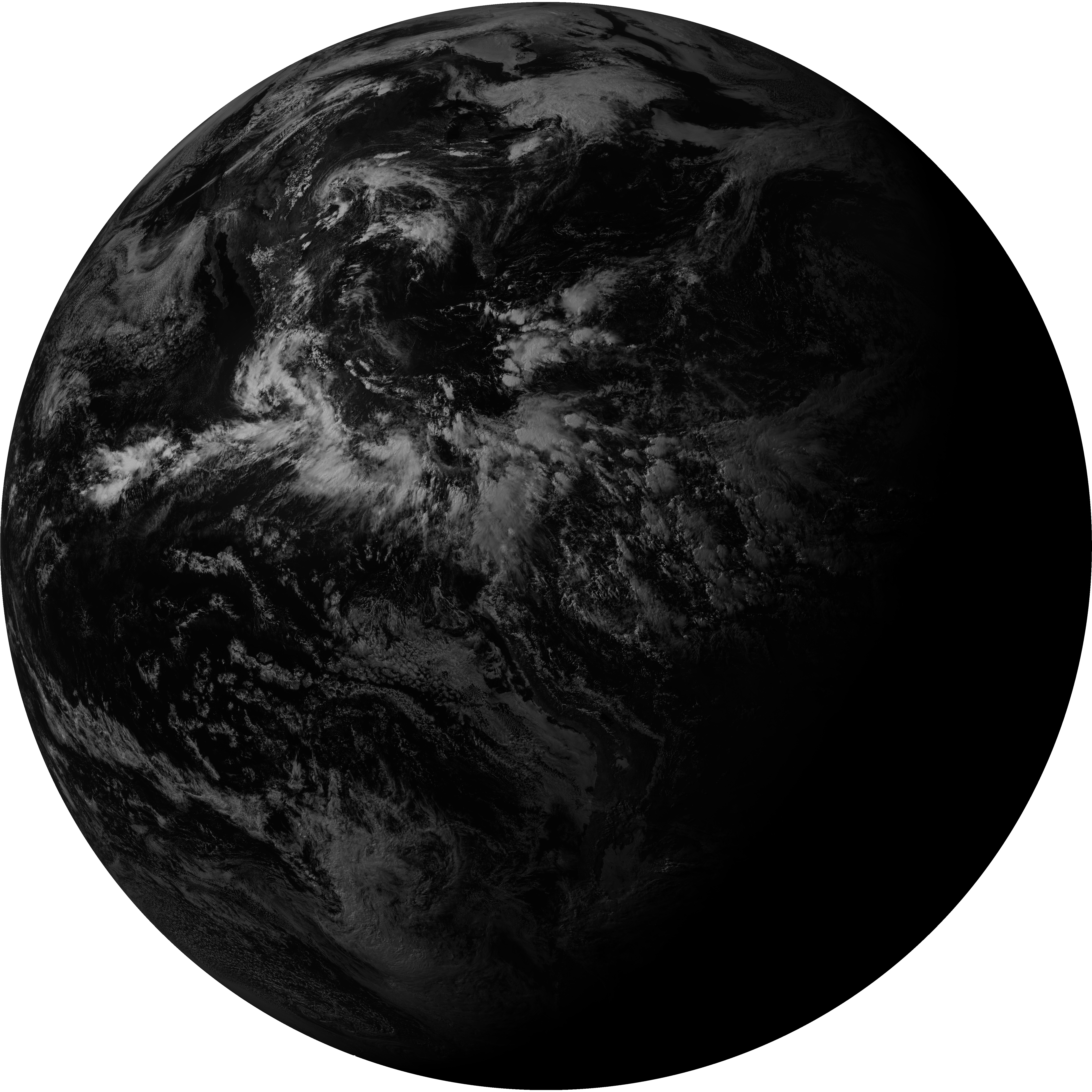
| G19_2_20260606T203021Z.png | 12336324 | 2026-Jun-06 20:50 |
| abi_rgb_Dirty_Longwave_Window_-_CIRA.png | 12805200 | 2026-Jun-06 21:01 |
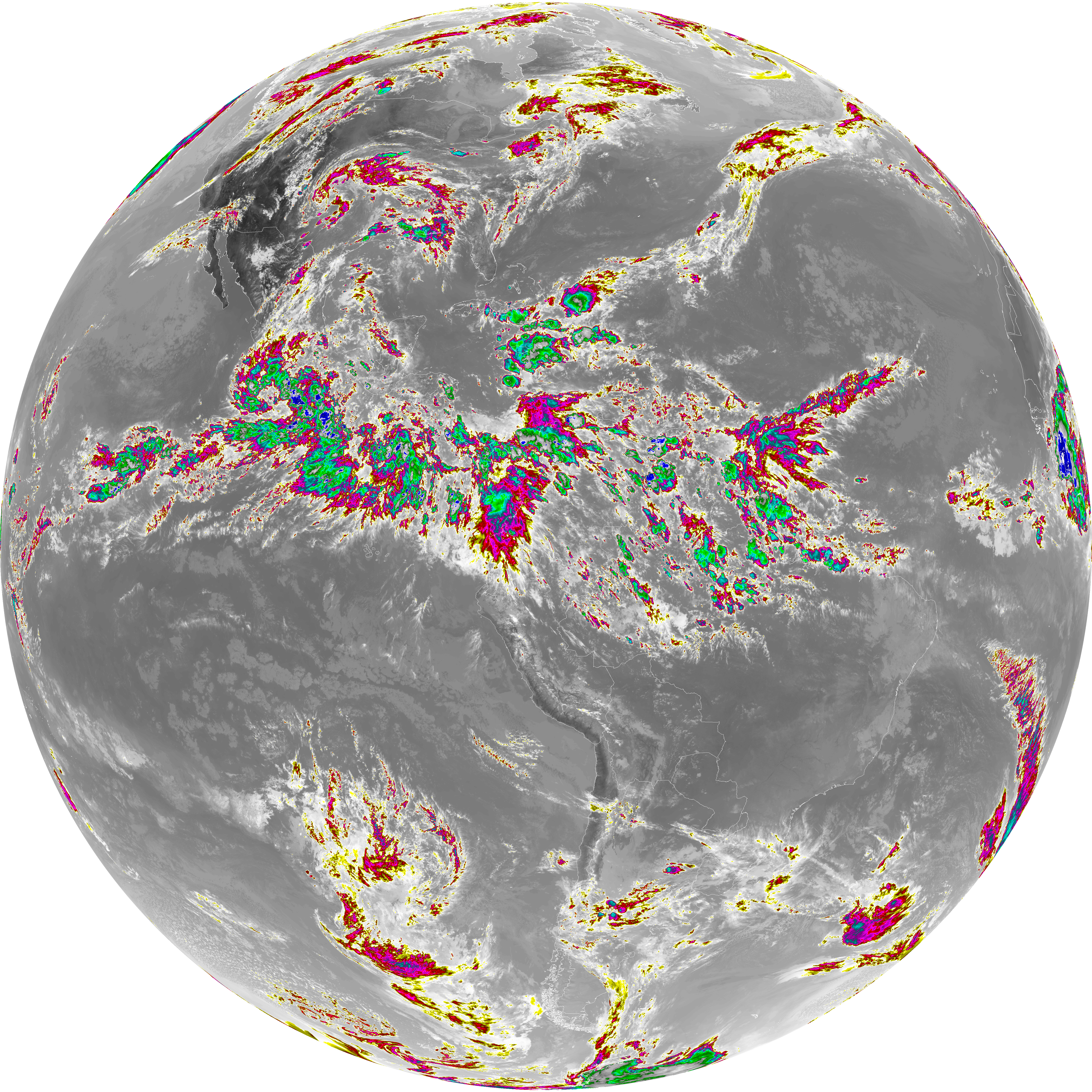
| abi_rgb_Dirty_Longwave_Window_-_CIRA_map.png | 12853837 | 2026-Jun-06 21:01 |
| abi_rgb_Shortwave_Window_Band.png | 14403008 | 2026-Jun-06 20:43 |
| abi_rgb_Dirty_Longwave_Window.png | 14424229 | 2026-Jun-06 21:01 |
| abi_rgb_Shortwave_Window_Band_map.png | 14452175 | 2026-Jun-06 20:43 |
| abi_rgb_Dirty_Longwave_Window_map.png | 14459377 | 2026-Jun-06 21:01 |
| abi_rgb_Clean_Longwave_IR_Window_Band.png | 14566432 | 2026-Jun-06 20:46 |
| abi_rgb_Clean_Longwave_IR_Window_Band_map.png | 14597865 | 2026-Jun-06 20:46 |
| abi_rgb_Infrared_Longwave_Window_Band.png | 14743152 | 2026-Jun-06 20:58 |
| abi_rgb_Infrared_Longwave_Window_Band_map.png | 14774594 | 2026-Jun-06 20:58 |