| Parent directory/ | - | - |
| abi_rgb_Infrared_Longwave_Window_Band_map.png | 14707437 | 2026-Jun-06 21:28 |
| abi_rgb_Infrared_Longwave_Window_Band.png | 14674742 | 2026-Jun-06 21:28 |
| abi_rgb_Clean_Longwave_IR_Window_Band_map.png | 14528448 | 2026-Jun-06 21:16 |
| abi_rgb_Clean_Longwave_IR_Window_Band.png | 14495725 | 2026-Jun-06 21:16 |
| abi_rgb_Shortwave_Window_Band_map.png | 14495695 | 2026-Jun-06 21:13 |
| abi_rgb_Shortwave_Window_Band.png | 14445933 | 2026-Jun-06 21:13 |
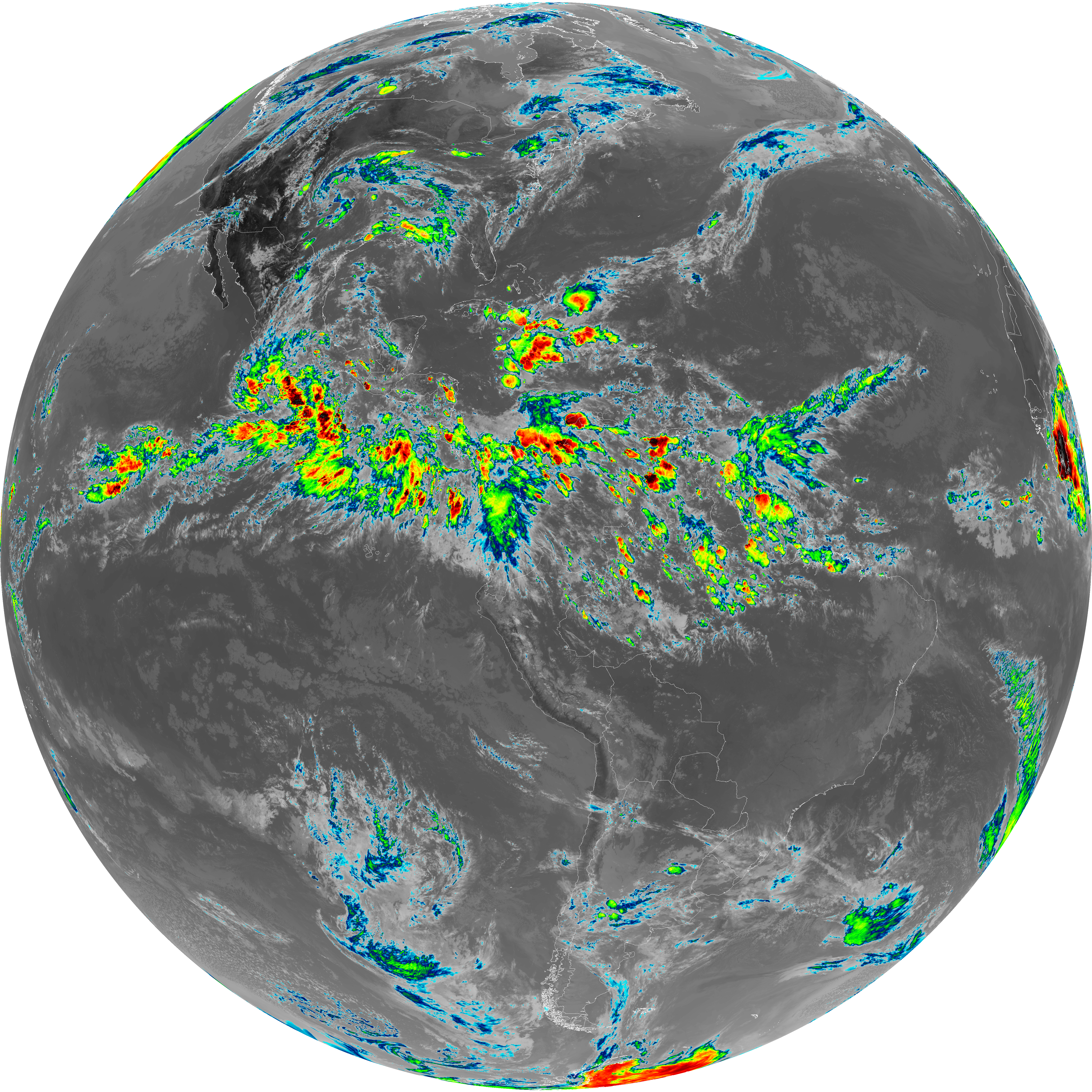
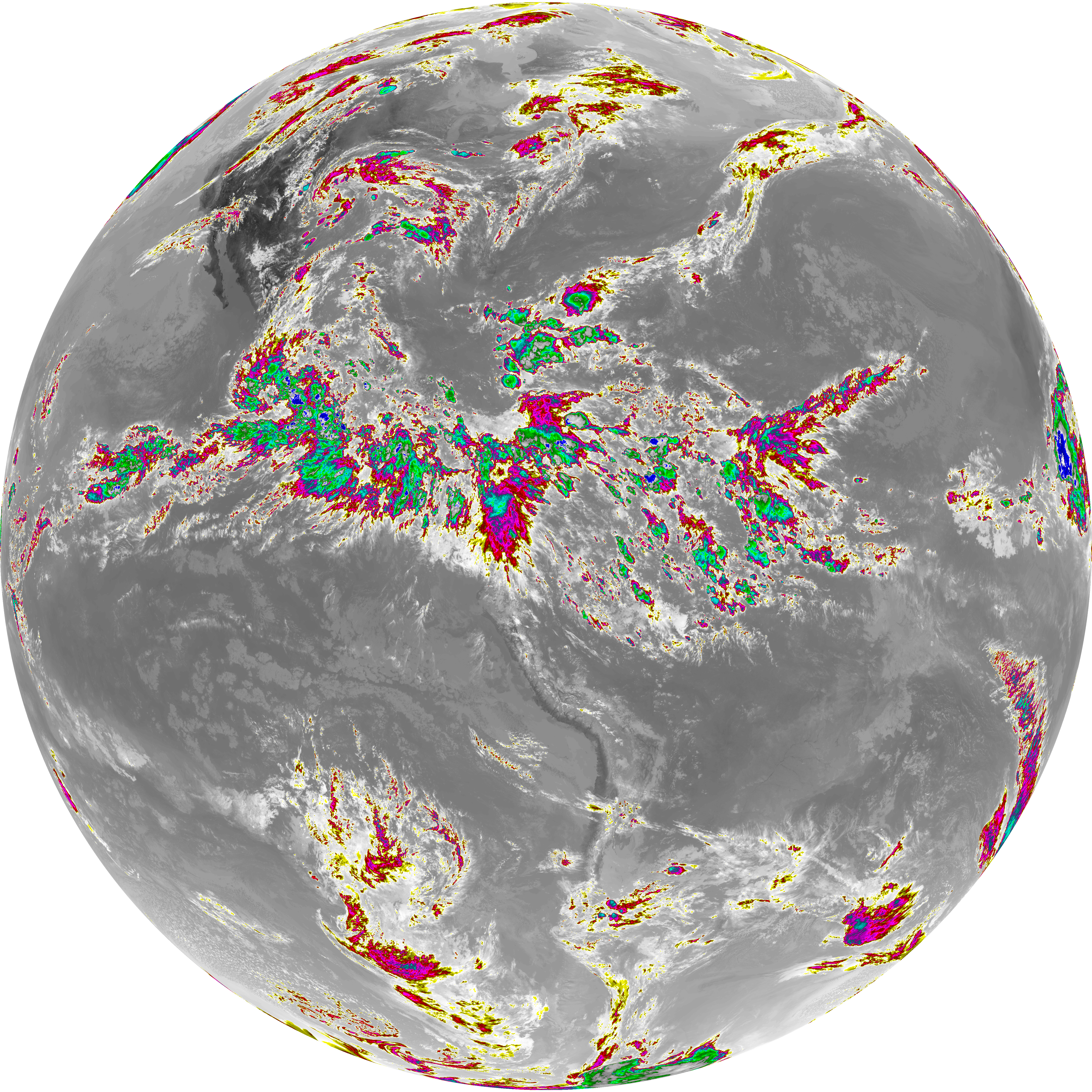
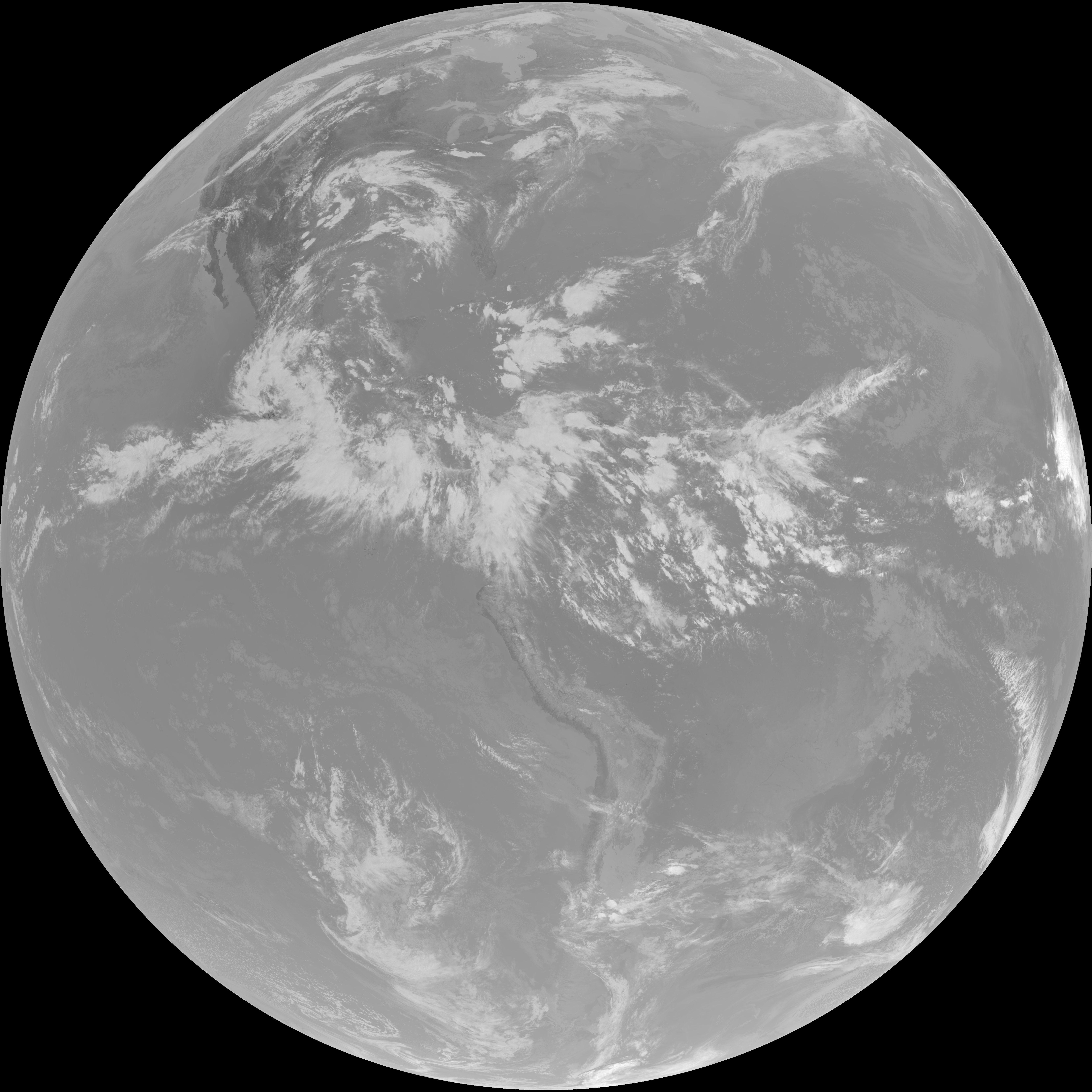
| abi_rgb_Dirty_Longwave_Window_map.png | 14395702 | 2026-Jun-06 21:31 |
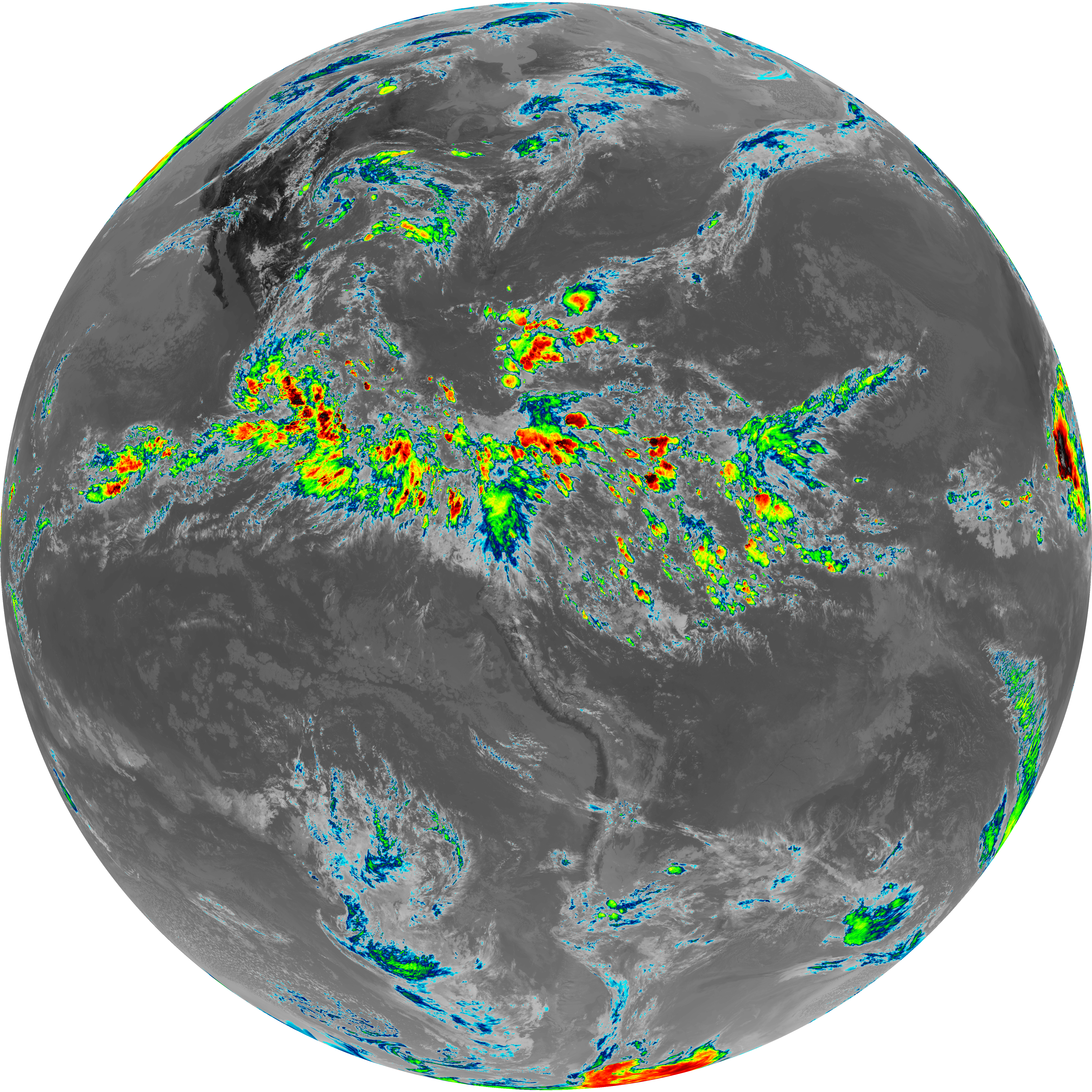
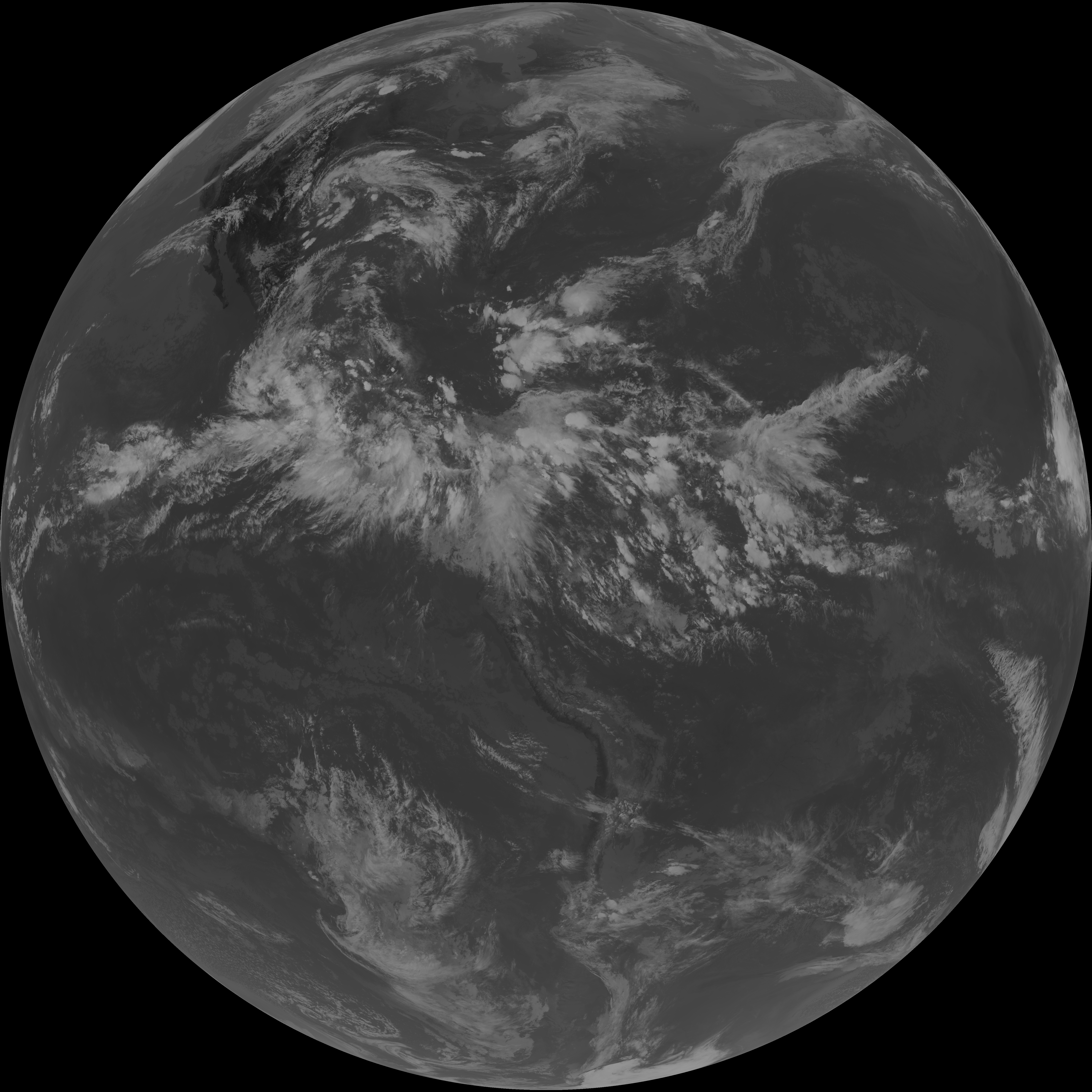
| abi_rgb_Dirty_Longwave_Window.png | 14359698 | 2026-Jun-06 21:31 |
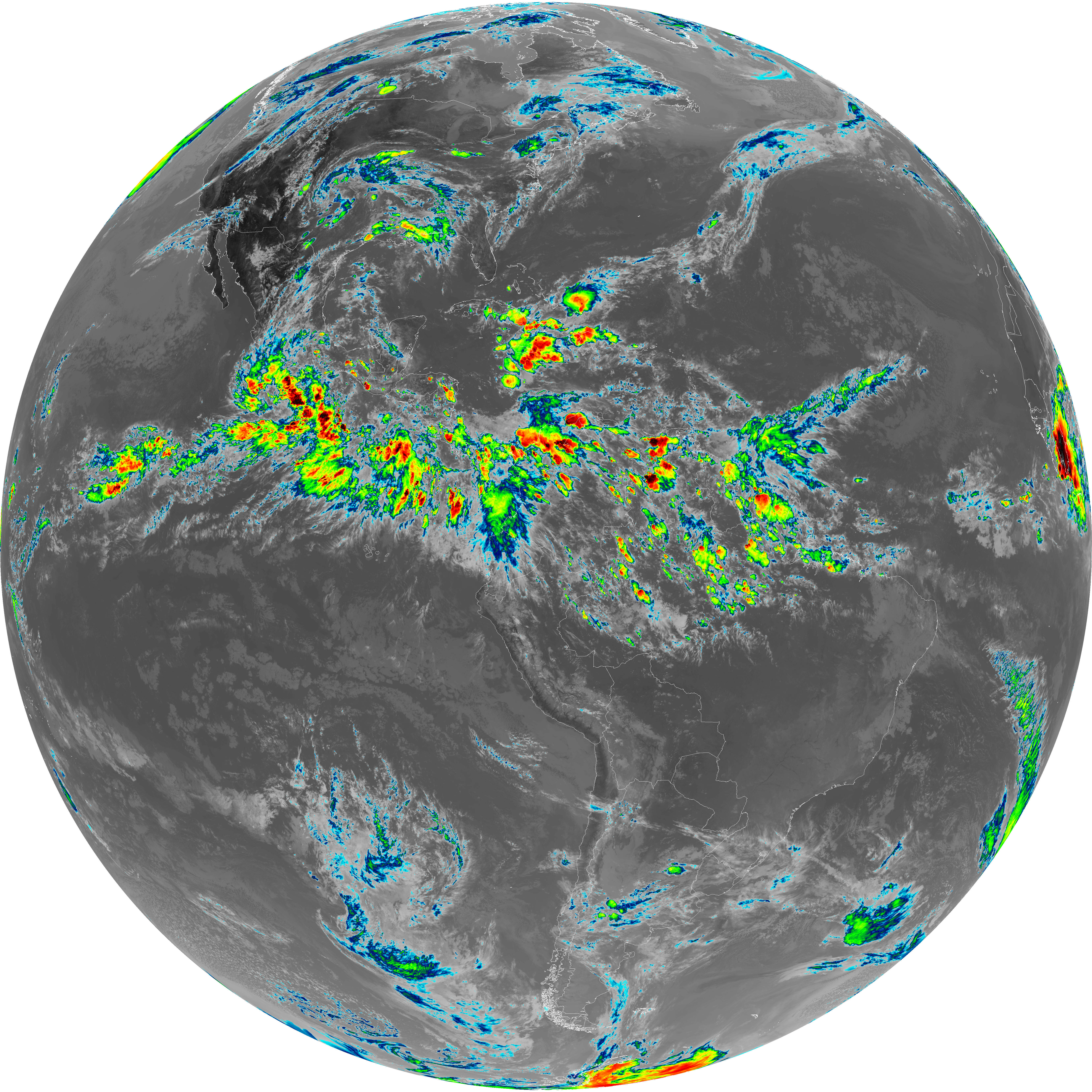
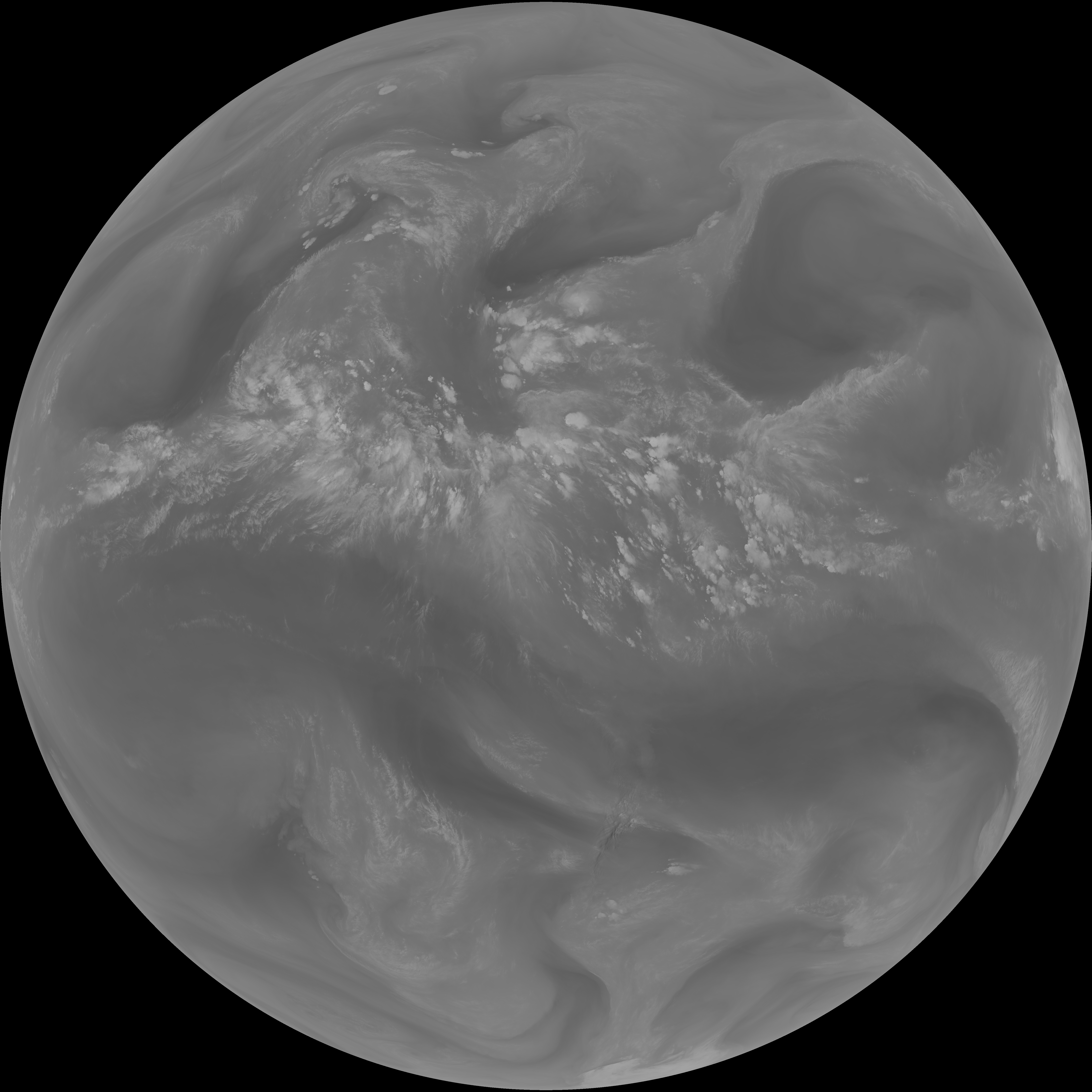
| abi_rgb_Dirty_Longwave_Window_-_CIRA_map.png | 12787218 | 2026-Jun-06 21:31 |
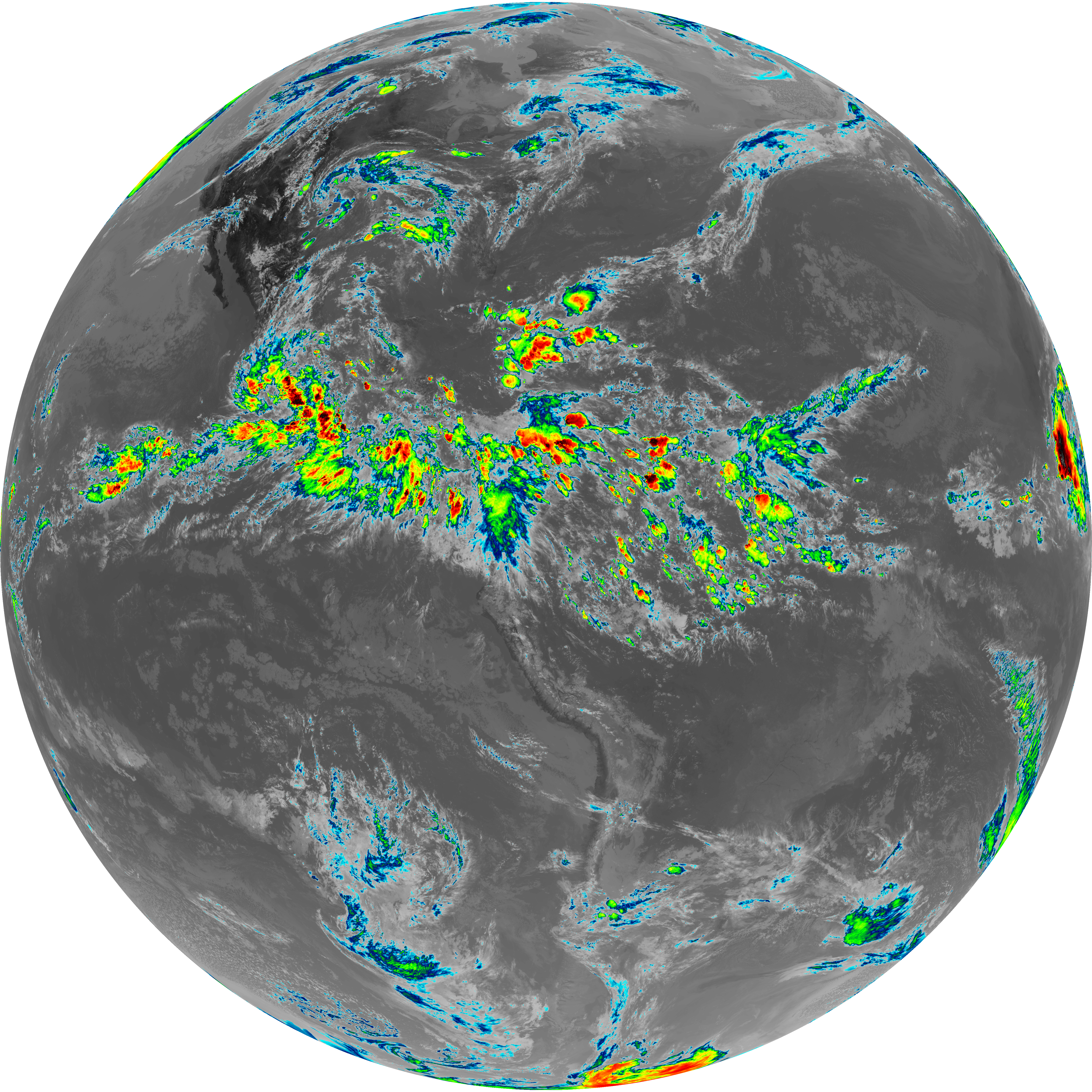
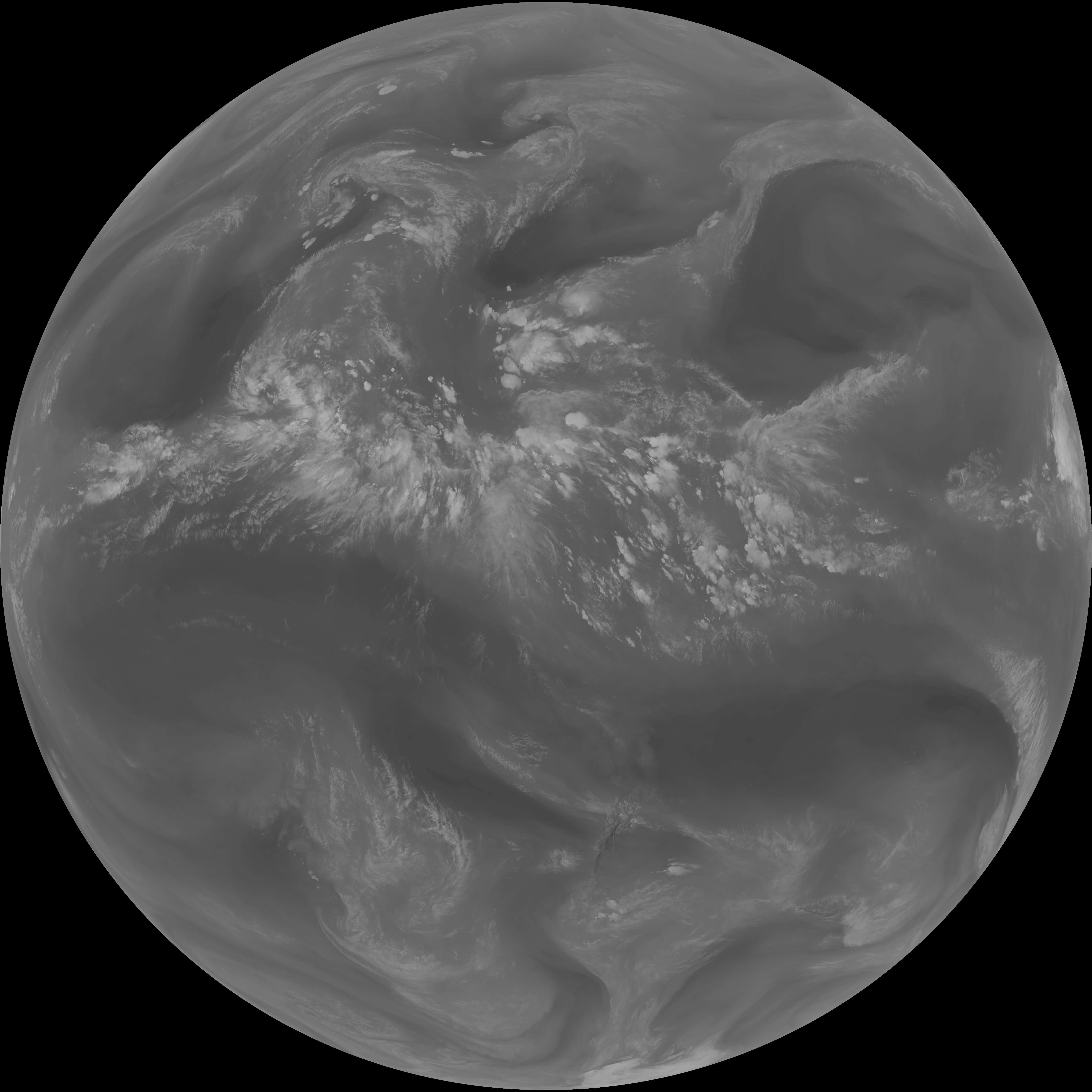
| abi_rgb_Dirty_Longwave_Window_-_CIRA.png | 12737950 | 2026-Jun-06 21:31 |
| G19_2_20260606T210021Z.png | 11347987 | 2026-Jun-06 21:20 |
| G19_14_20260606T210021Z.png | 10935606 | 2026-Jun-06 21:27 |
| G19_13_20260606T210021Z.png | 10787052 | 2026-Jun-06 21:16 |
| G19_15_20260606T210021Z.png | 10671186 | 2026-Jun-06 21:30 |
| G19_7_20260606T210021Z.png | 10562779 | 2026-Jun-06 21:13 |
| abi_rgb_Mid-level_Tropospheric_Water_Vapor_map.png | 9559605 | 2026-Jun-06 21:24 |
| abi_rgb_Mid-level_Tropospheric_Water_Vapor.png | 9464161 | 2026-Jun-06 21:24 |
| abi_rgb_Upper-Level_Tropospheric_Water_Vapor_map.png | 8252215 | 2026-Jun-06 21:22 |
| abi_rgb_Upper-Level_Tropospheric_Water_Vapor.png | 8146282 | 2026-Jun-06 21:22 |
| G19_9_20260606T210021Z.png | 7060100 | 2026-Jun-06 21:24 |
| G19_8_20260606T210021Z.png | 6099108 | 2026-Jun-06 21:22 |