| Parent directory/ | - | - |
| G19_13_20260606T220021Z.png | 10688862 | 2026-Jun-06 22:16 |
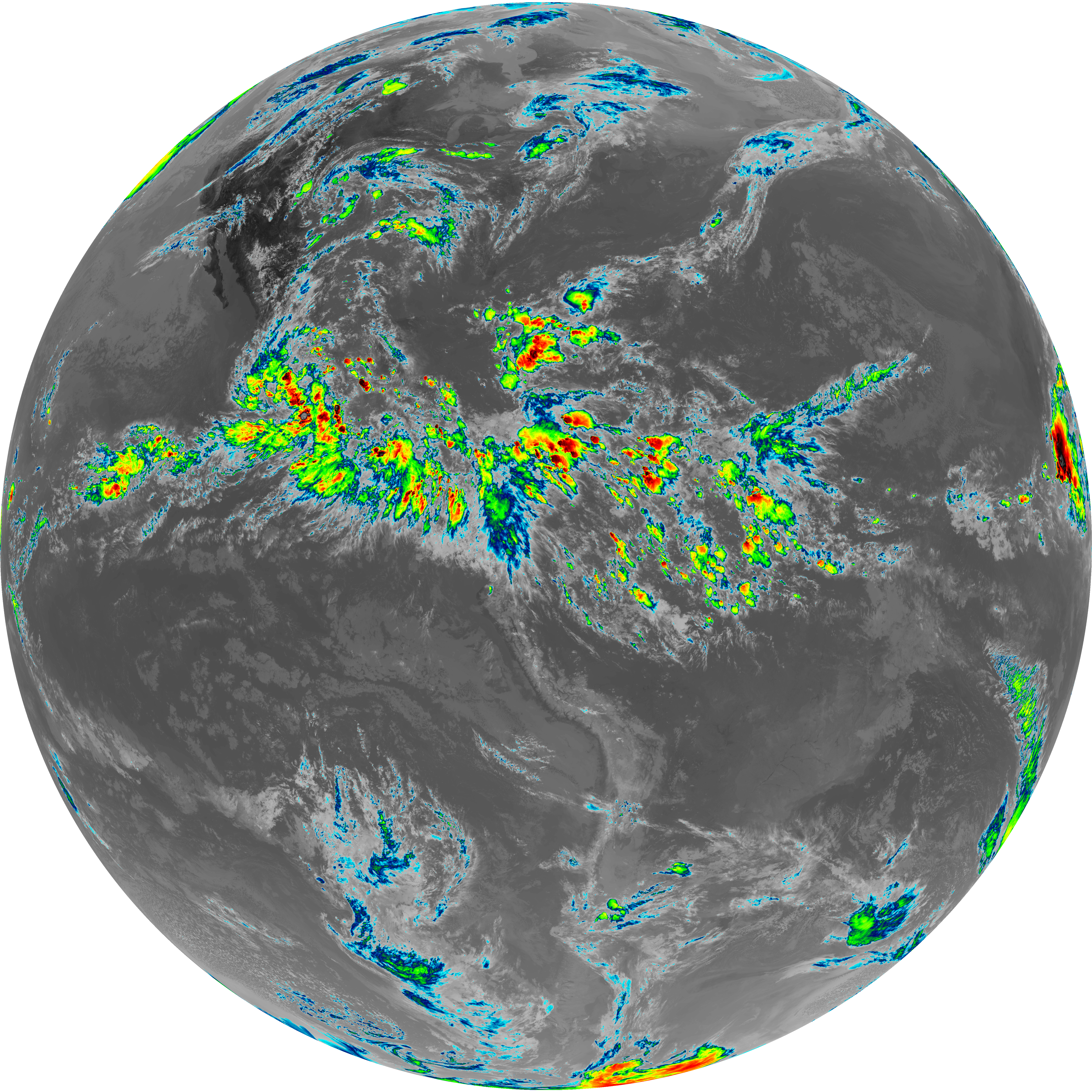
| G19_14_20260606T220021Z.png | 10840695 | 2026-Jun-06 22:27 |
| G19_15_20260606T220021Z.png | 10581304 | 2026-Jun-06 22:29 |
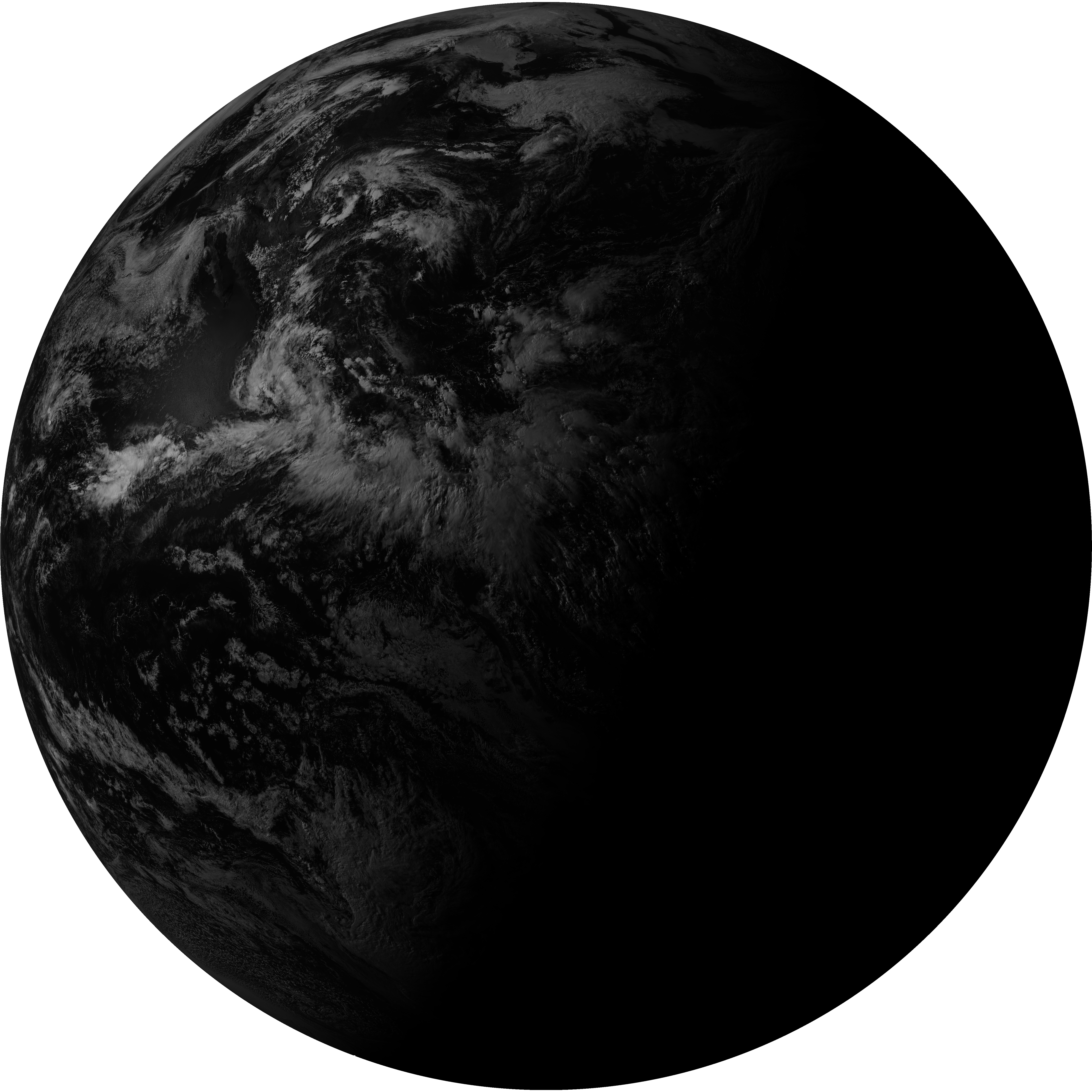
| G19_2_20260606T220021Z.png | 9232107 | 2026-Jun-06 22:19 |
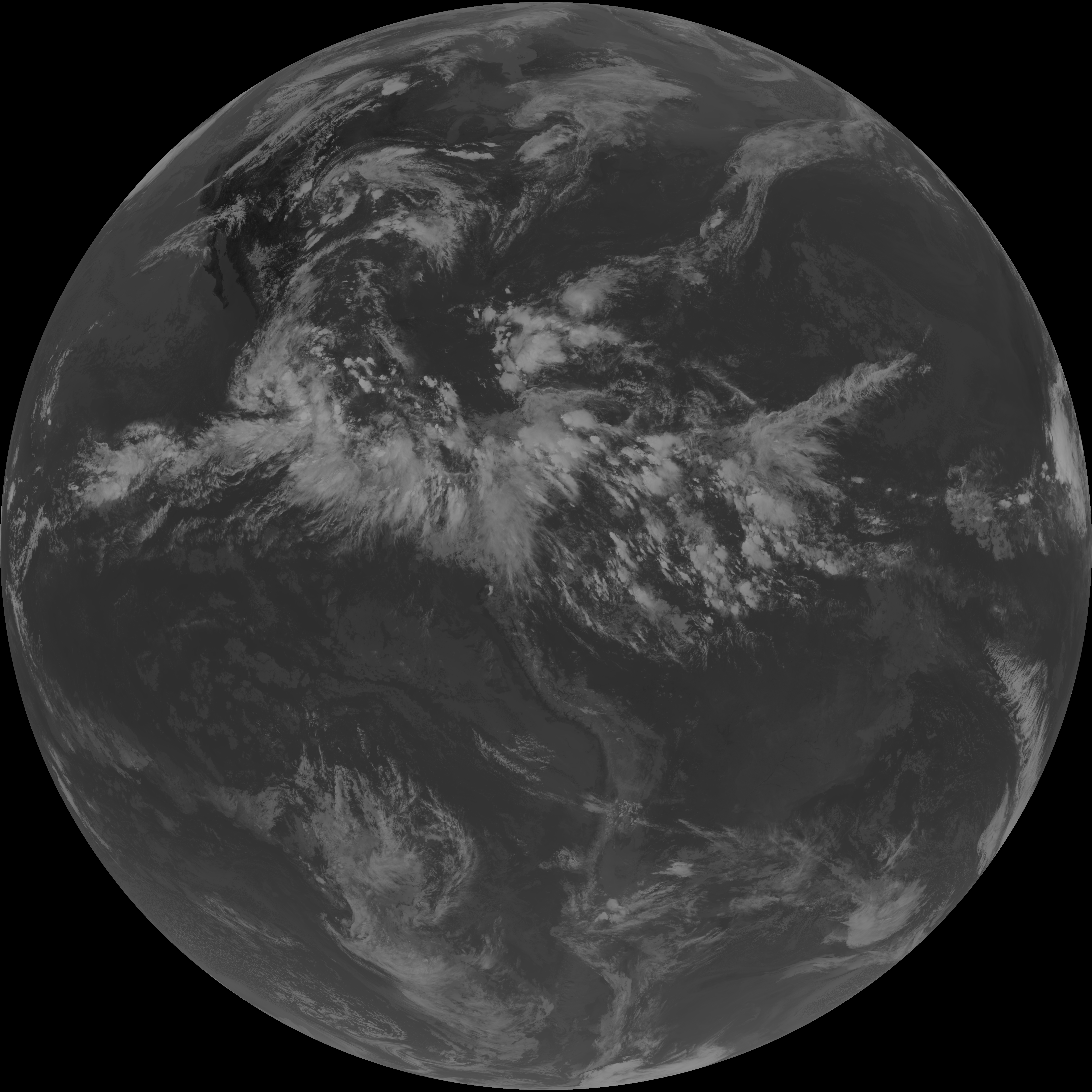
| G19_7_20260606T220021Z.png | 10752194 | 2026-Jun-06 22:13 |
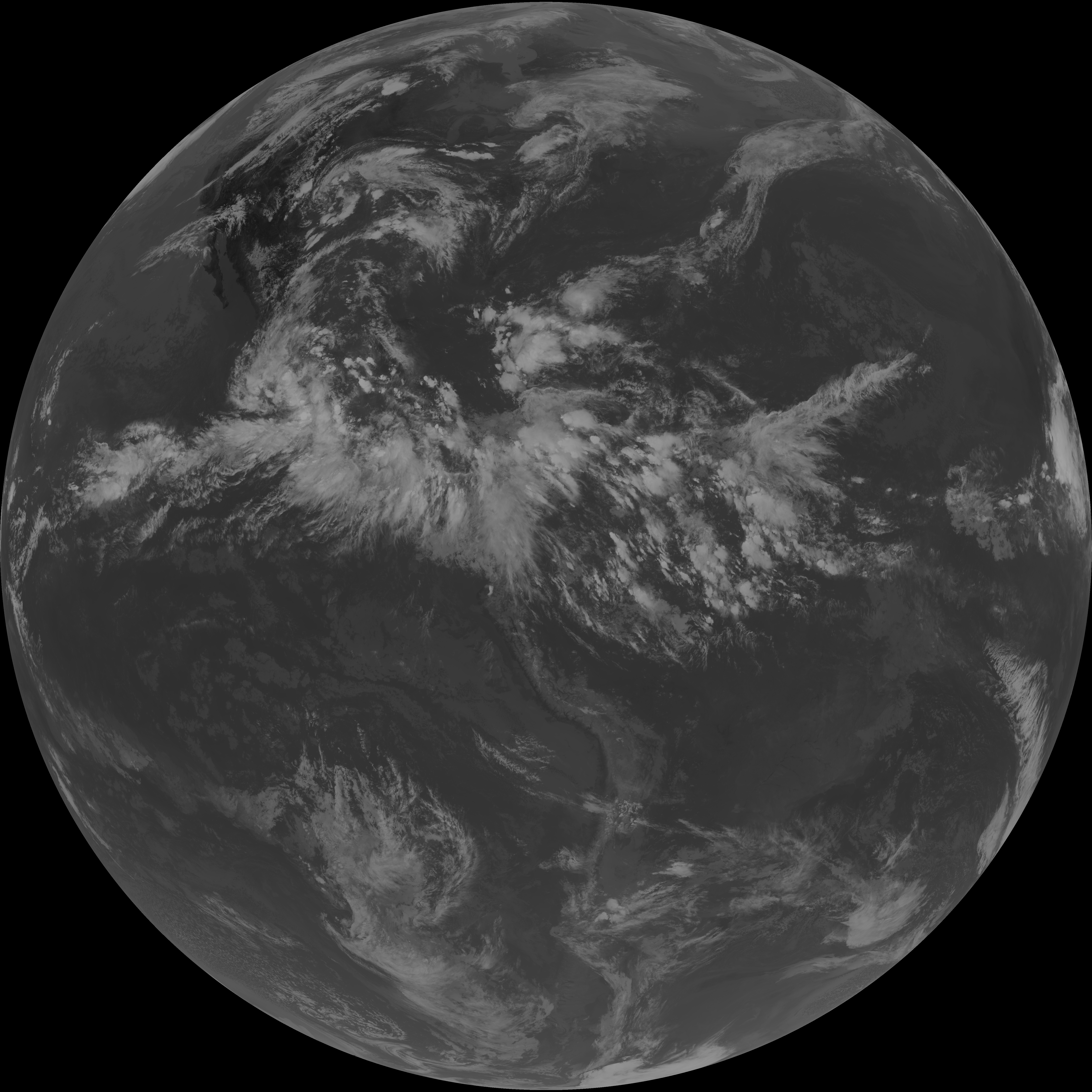
| G19_8_20260606T220021Z.png | 6042960 | 2026-Jun-06 22:21 |
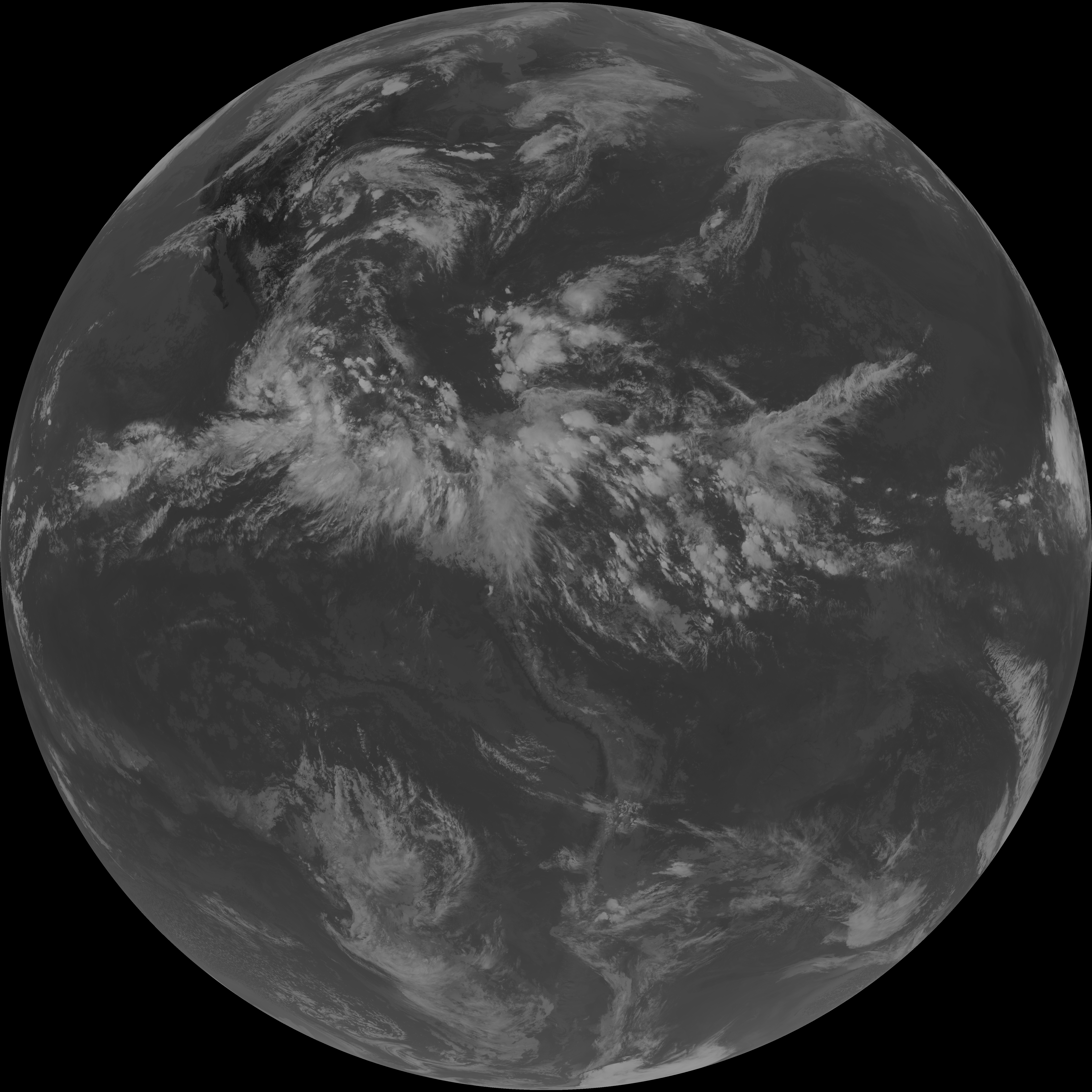
| G19_9_20260606T220021Z.png | 7006076 | 2026-Jun-06 22:23 |
| abi_rgb_Clean_Longwave_IR_Window_Band.png | 14373156 | 2026-Jun-06 22:16 |
| abi_rgb_Clean_Longwave_IR_Window_Band_map.png | 14410226 | 2026-Jun-06 22:16 |
| abi_rgb_Dirty_Longwave_Window.png | 14239863 | 2026-Jun-06 22:30 |
| abi_rgb_Dirty_Longwave_Window_-_CIRA.png | 12615106 | 2026-Jun-06 22:30 |
| abi_rgb_Dirty_Longwave_Window_-_CIRA_map.png | 12667564 | 2026-Jun-06 22:30 |
| abi_rgb_Dirty_Longwave_Window_map.png | 14279804 | 2026-Jun-06 22:30 |
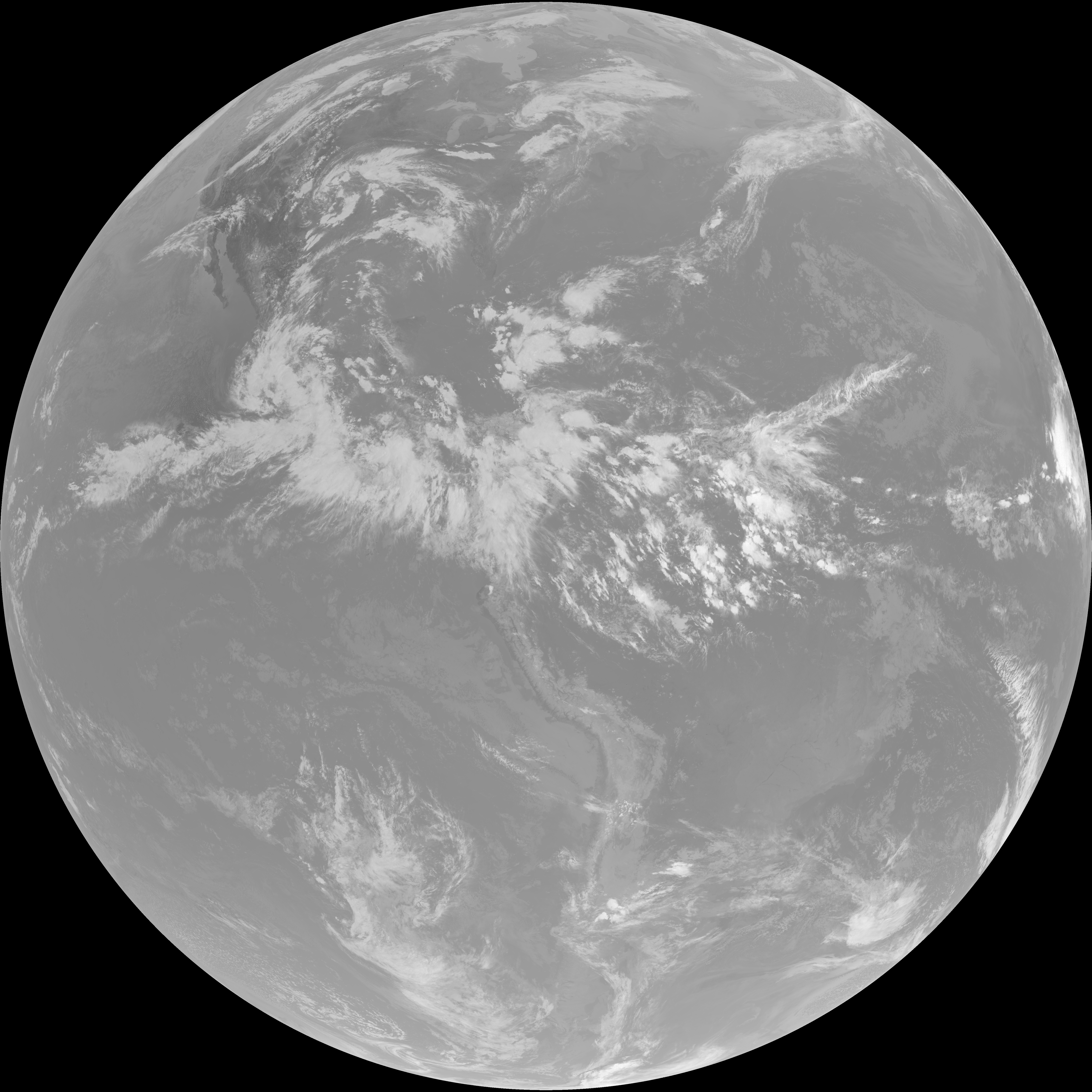
| abi_rgb_Infrared_Longwave_Window_Band.png | 14556301 | 2026-Jun-06 22:27 |
| abi_rgb_Infrared_Longwave_Window_Band_map.png | 14593002 | 2026-Jun-06 22:27 |
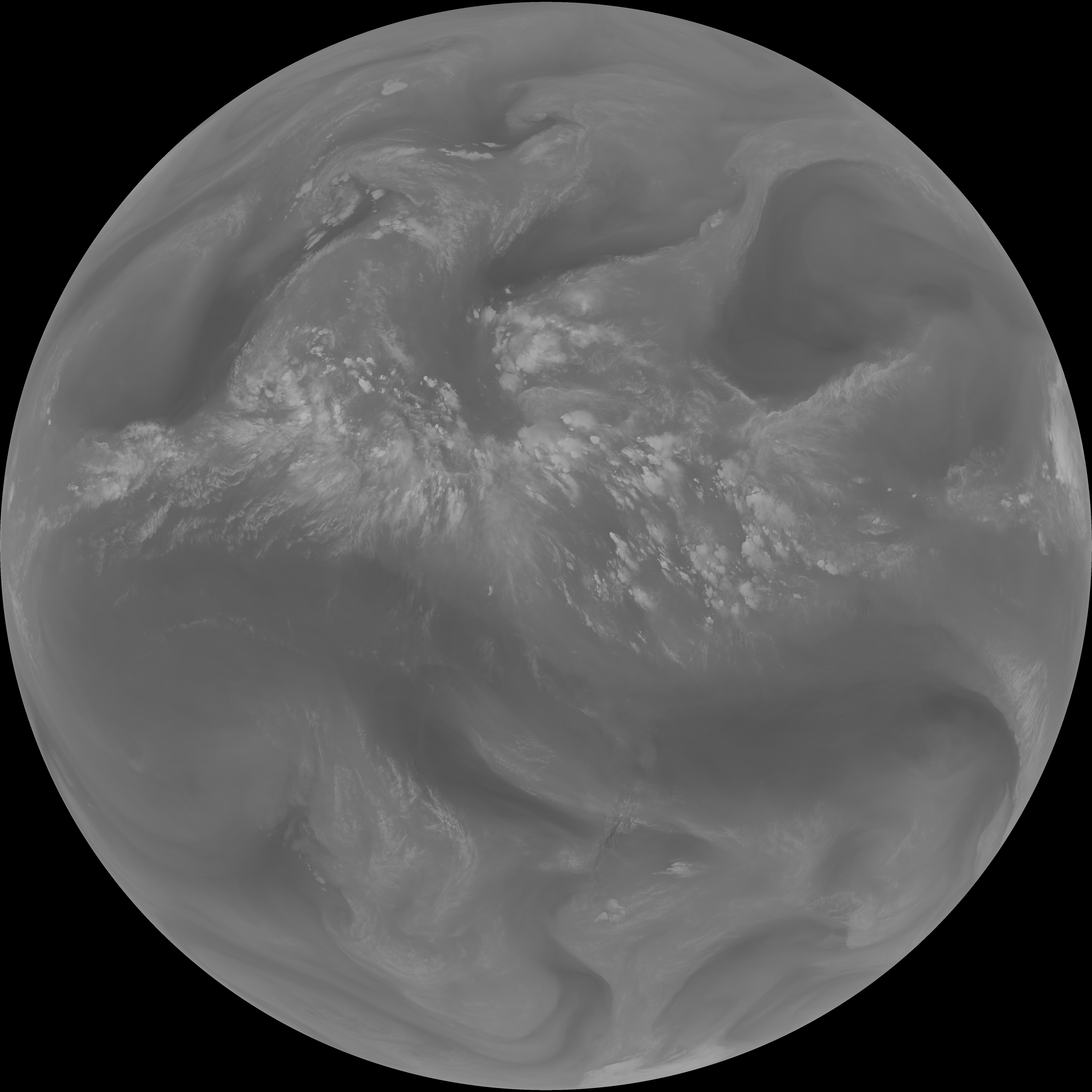
| abi_rgb_Mid-level_Tropospheric_Water_Vapor.png | 9390699 | 2026-Jun-06 22:24 |
| abi_rgb_Mid-level_Tropospheric_Water_Vapor_map.png | 9486394 | 2026-Jun-06 22:24 |
| abi_rgb_Shortwave_Window_Band.png | 14649262 | 2026-Jun-06 22:13 |
| abi_rgb_Shortwave_Window_Band_map.png | 14701299 | 2026-Jun-06 22:13 |
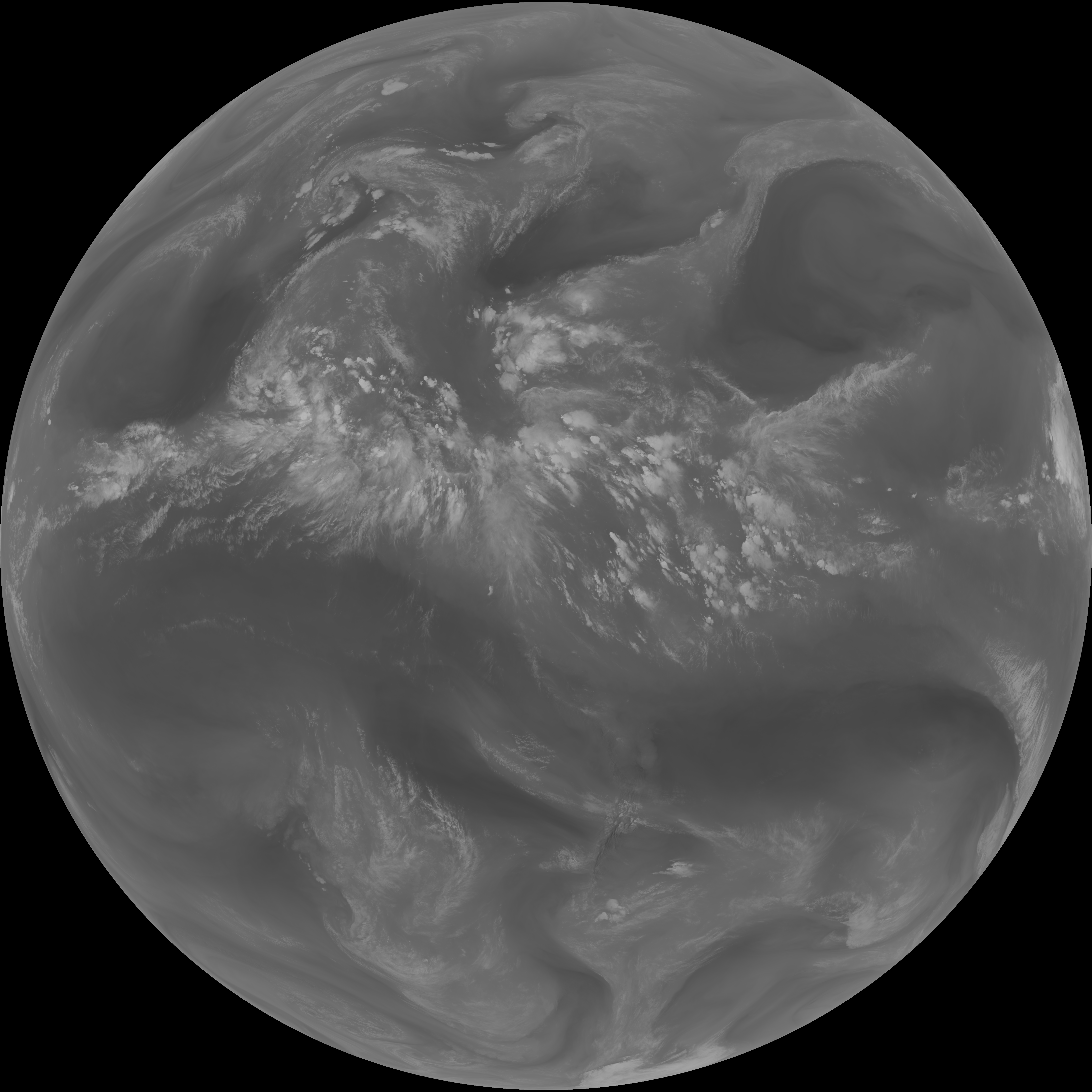
| abi_rgb_Upper-Level_Tropospheric_Water_Vapor.png | 8074995 | 2026-Jun-06 22:21 |
| abi_rgb_Upper-Level_Tropospheric_Water_Vapor_map.png | 8181992 | 2026-Jun-06 22:21 |