| Parent directory/ | - | - |
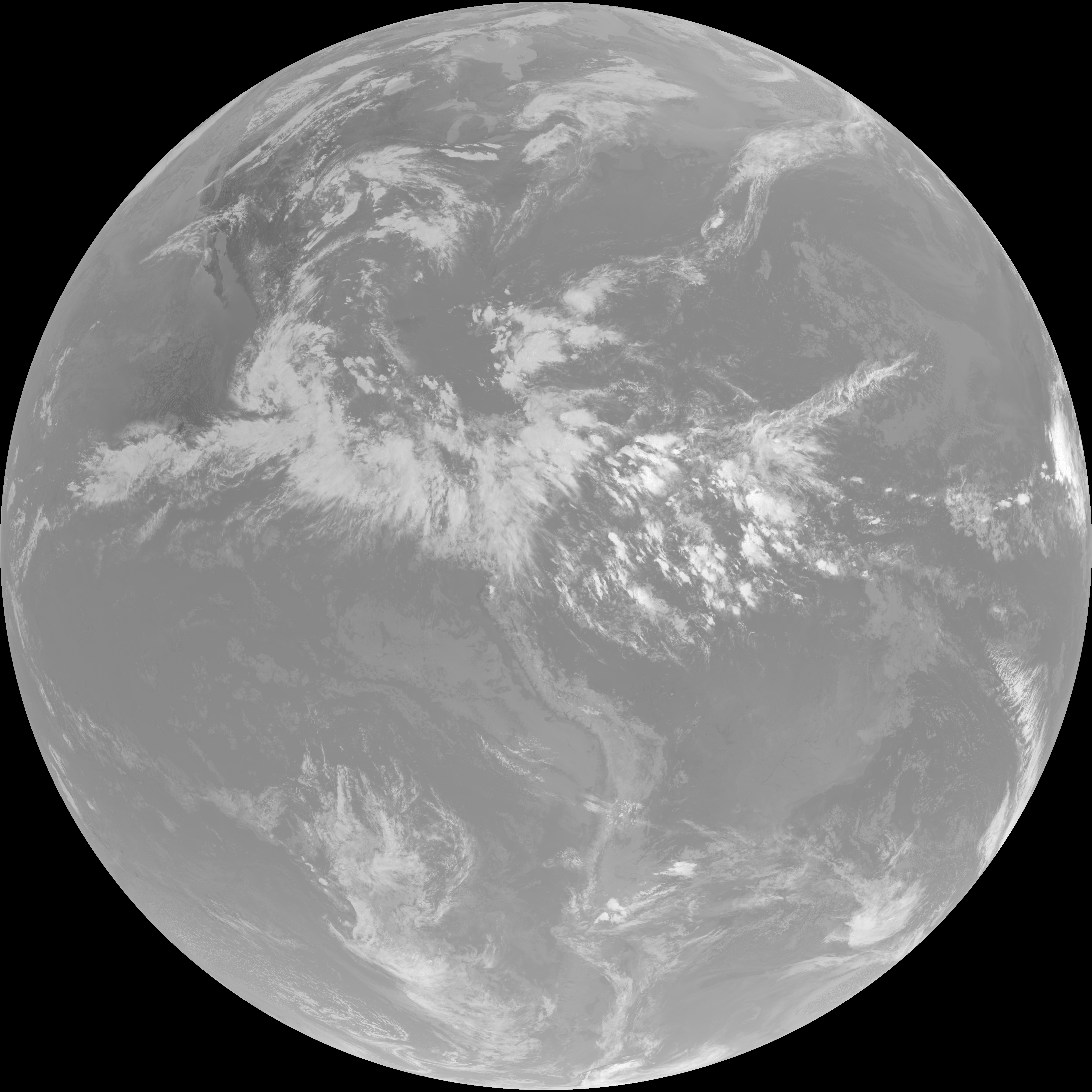
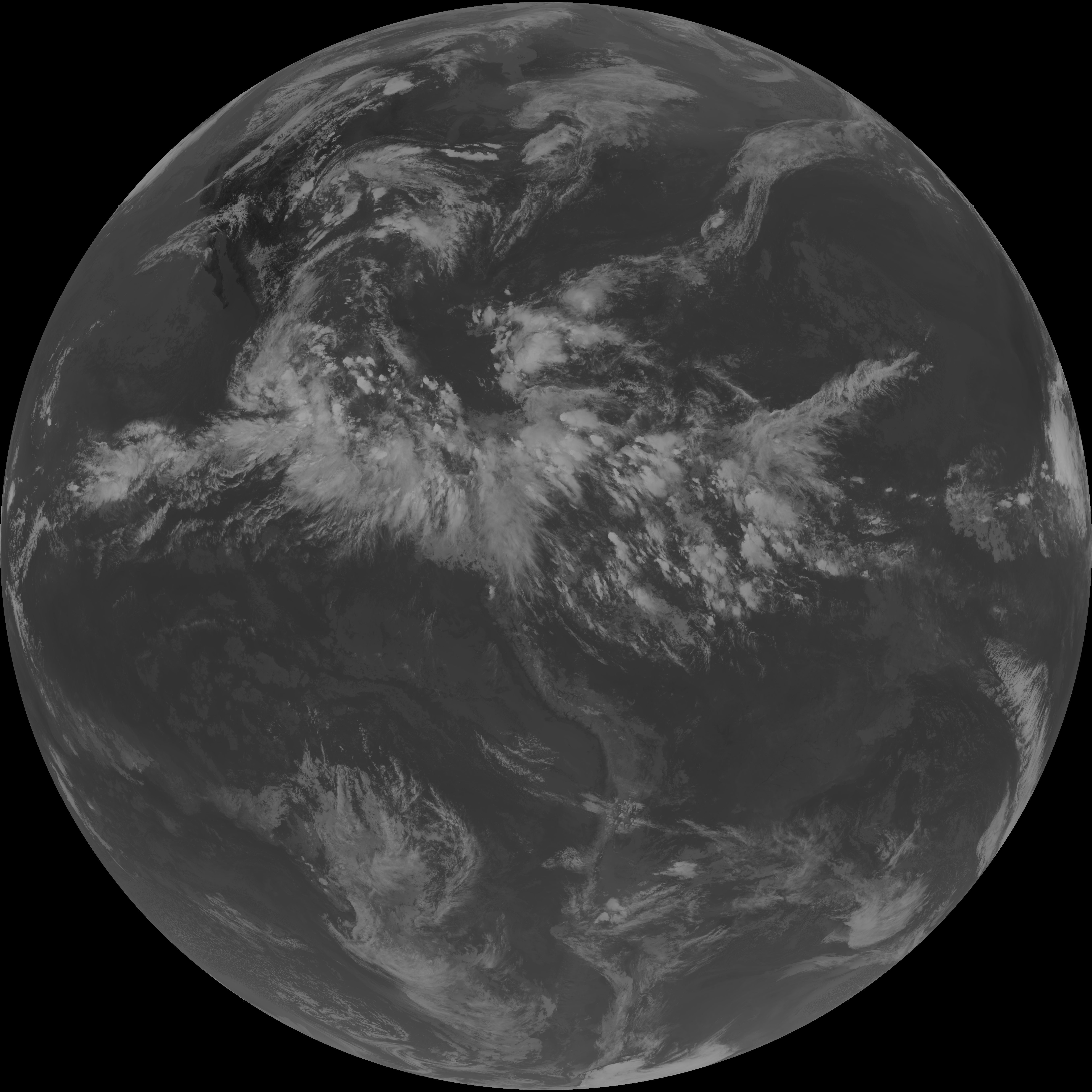
| G19_7_20260606T223021Z.png | 10861090 | 2026-Jun-06 22:43 |
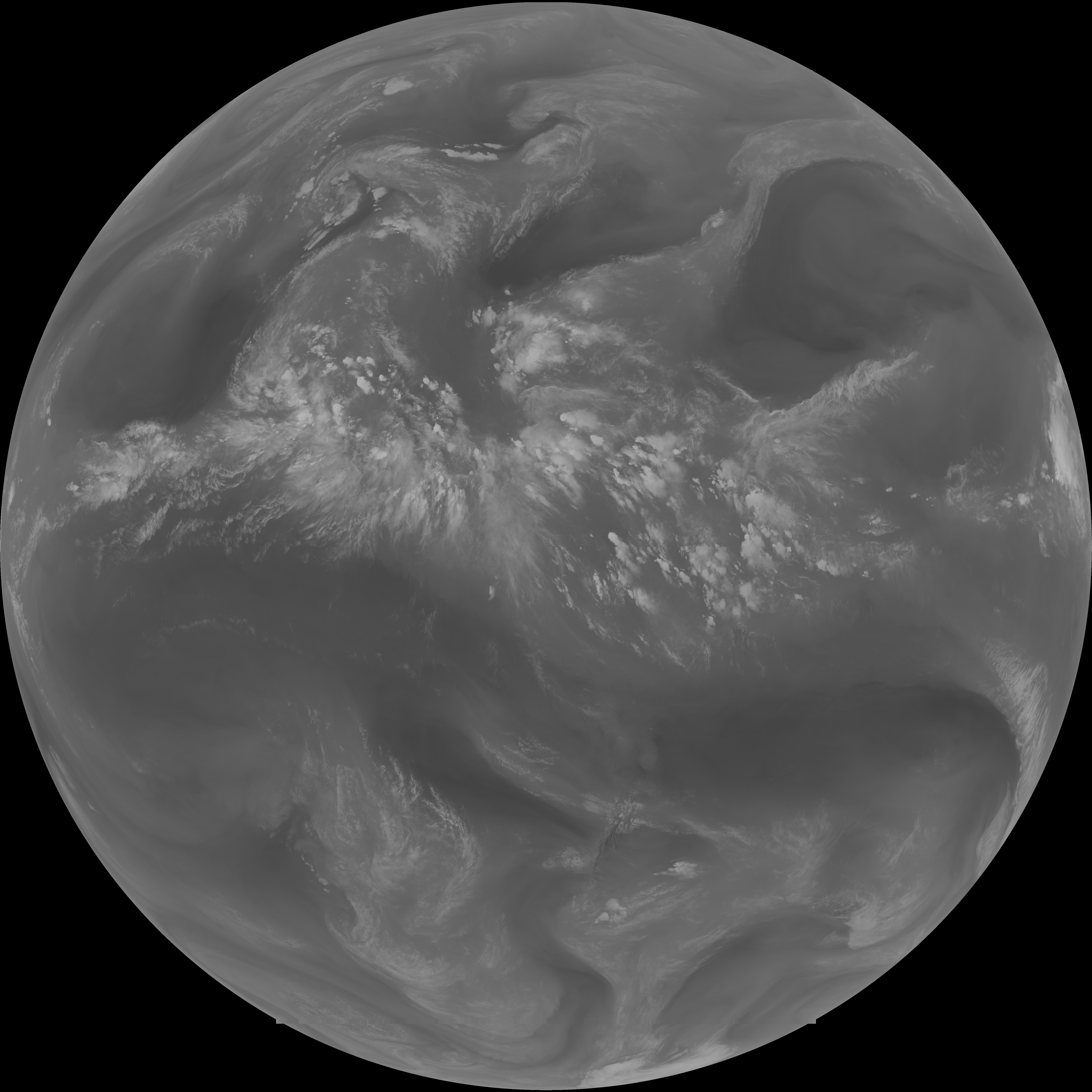
| abi_rgb_Shortwave_Window_Band.png | 14774746 | 2026-Jun-06 22:43 |
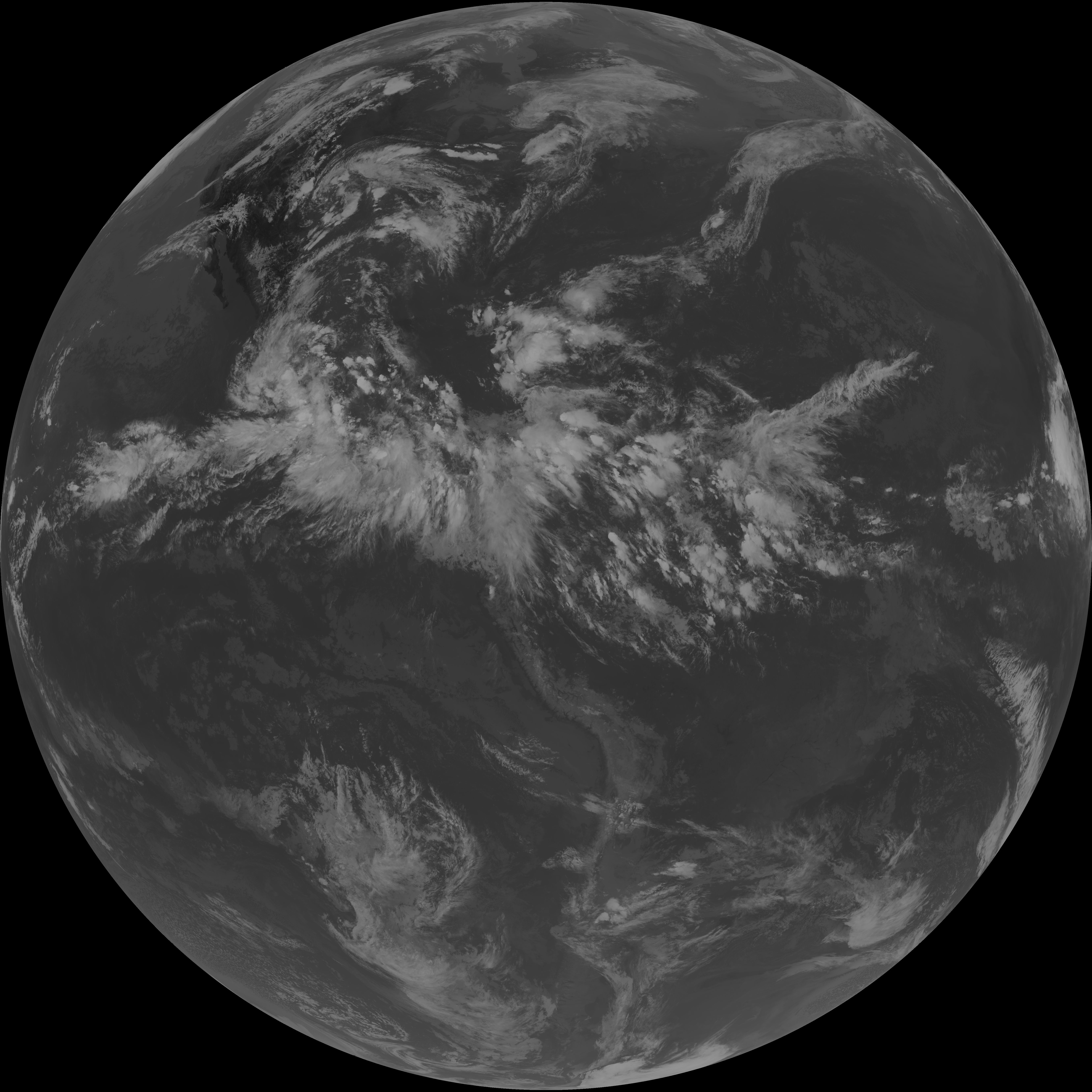
| abi_rgb_Shortwave_Window_Band_map.png | 14828207 | 2026-Jun-06 22:43 |
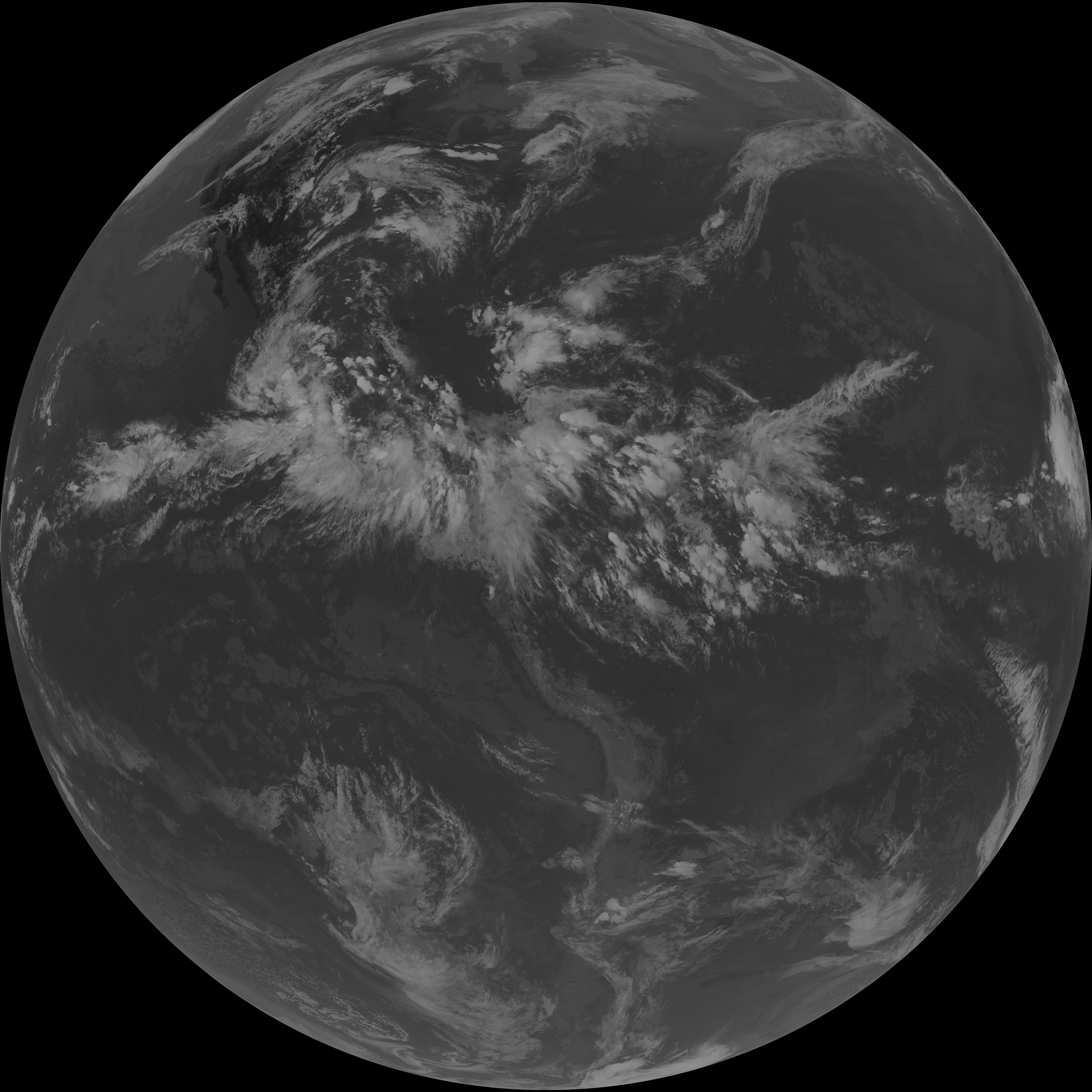
| G19_13_20260606T223021Z.png | 10653867 | 2026-Jun-06 22:46 |
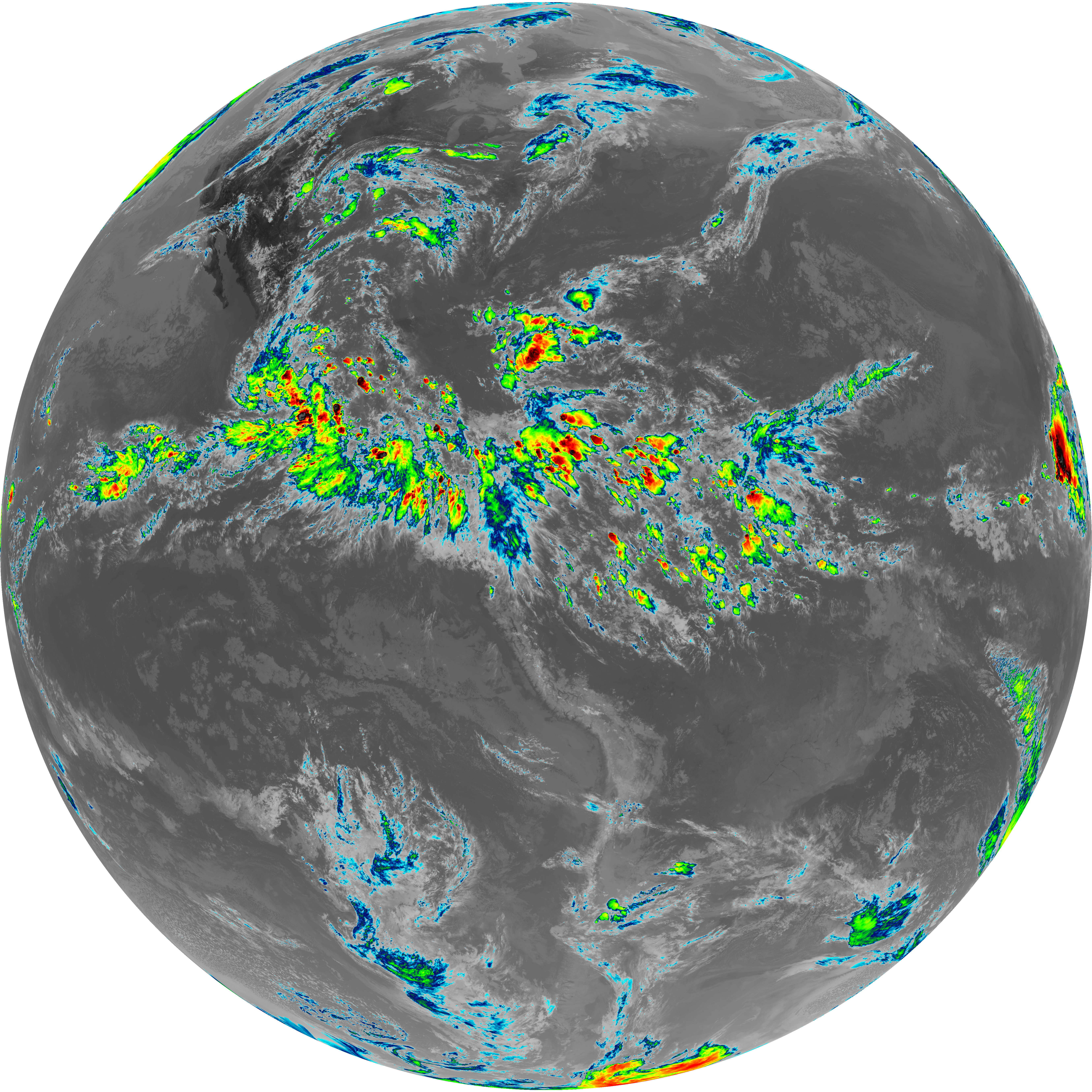
| abi_rgb_Clean_Longwave_IR_Window_Band.png | 14325370 | 2026-Jun-06 22:46 |
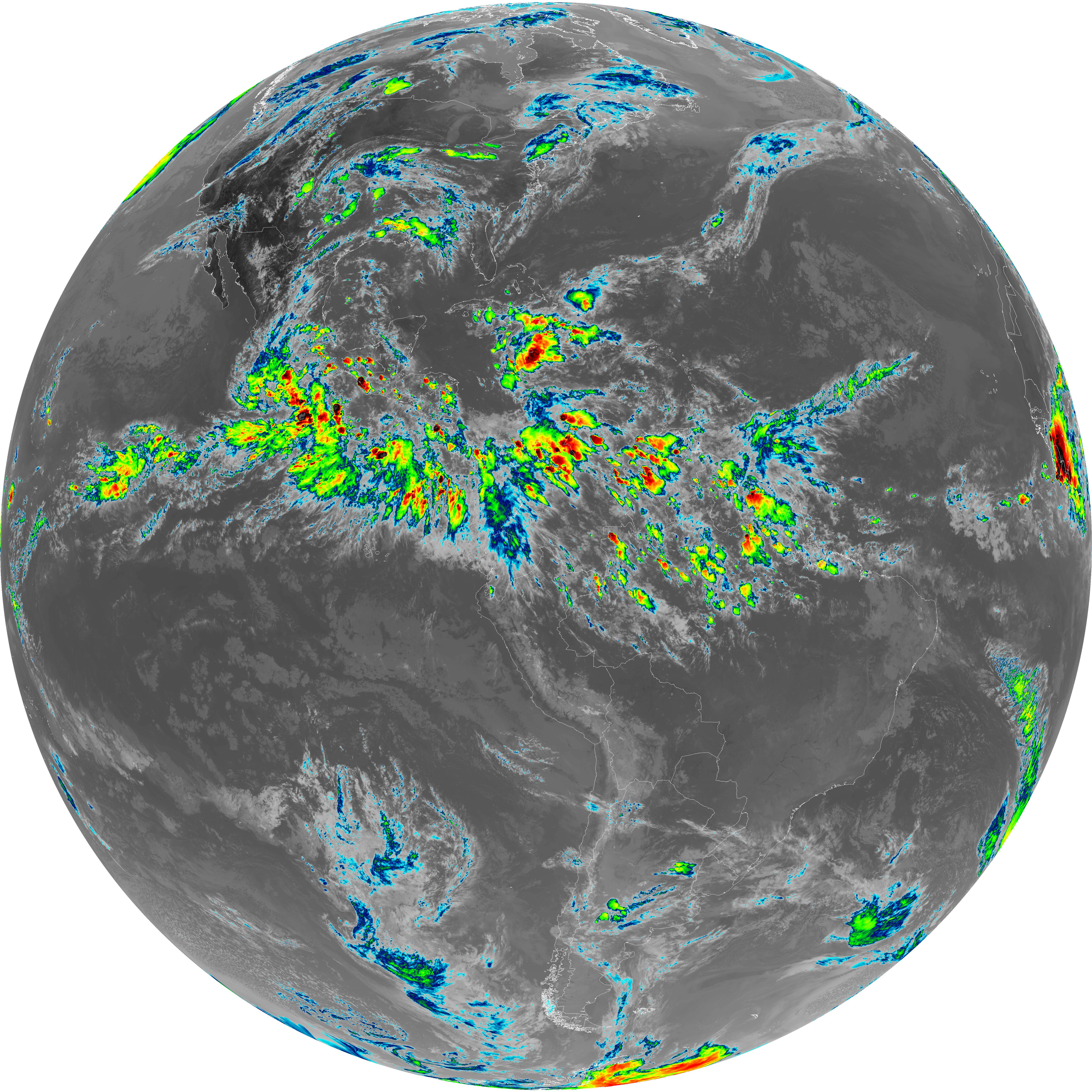
| abi_rgb_Clean_Longwave_IR_Window_Band_map.png | 14363322 | 2026-Jun-06 22:46 |
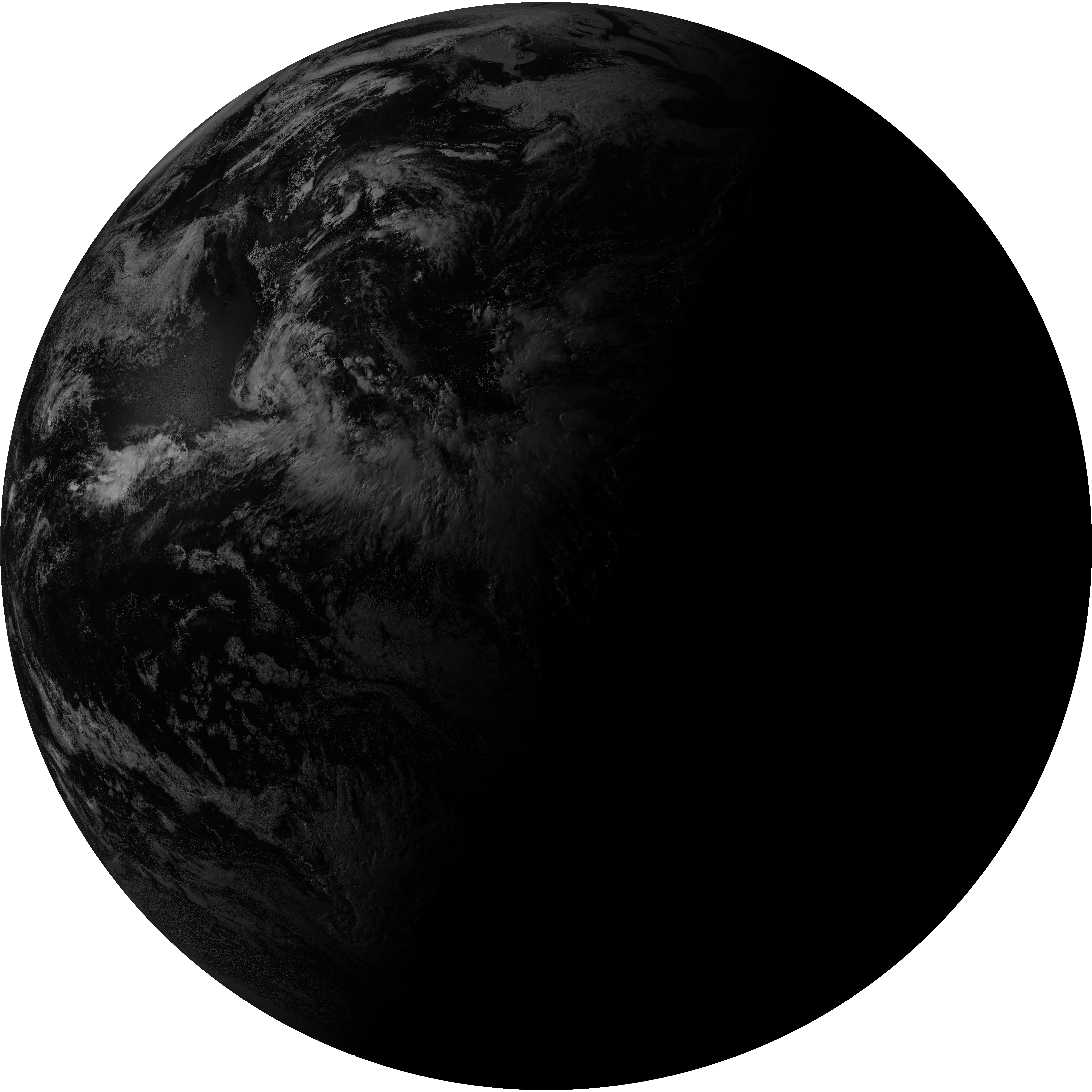
| G19_2_20260606T223021Z.png | 8151233 | 2026-Jun-06 22:49 |
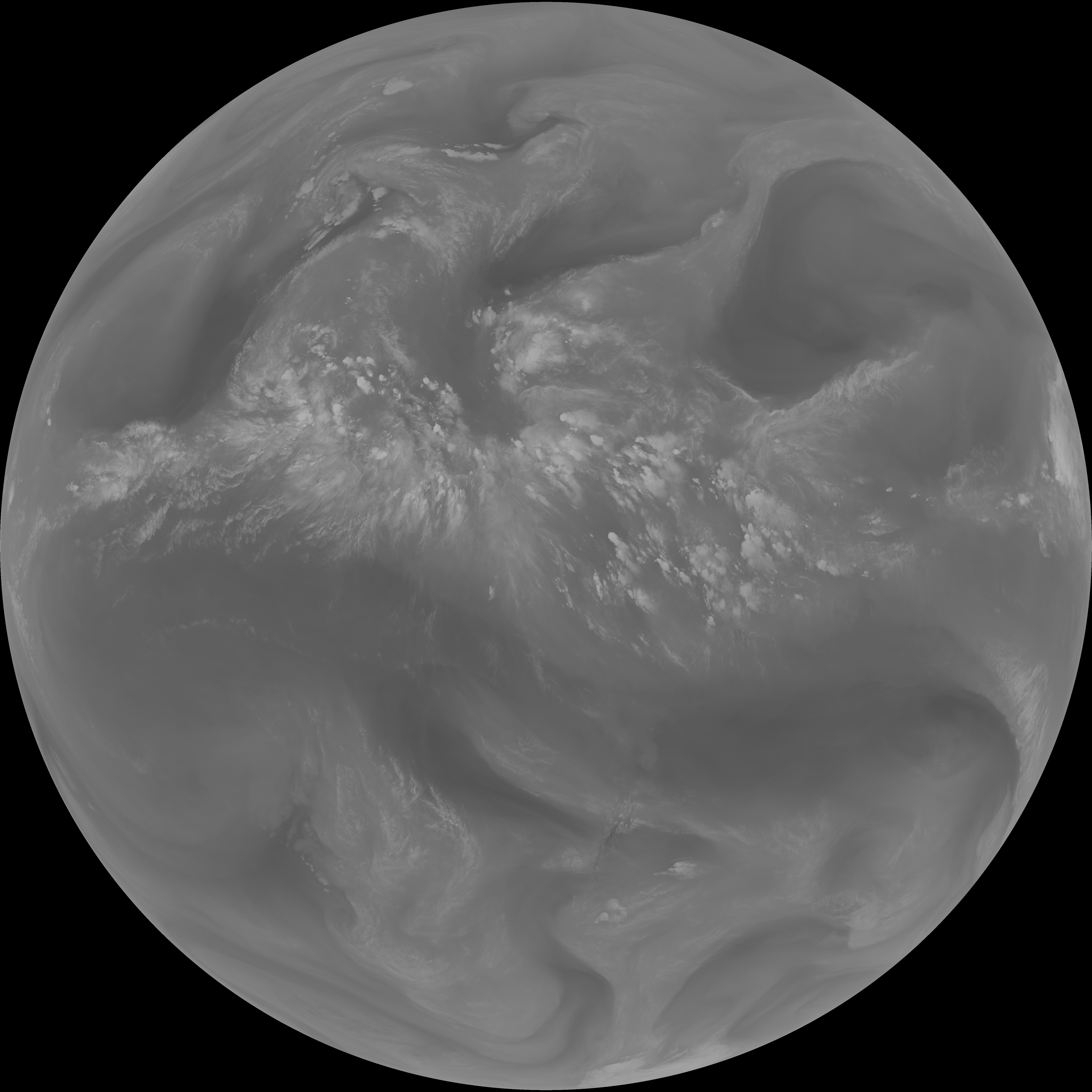
| G19_8_20260606T223021Z.png | 5999338 | 2026-Jun-06 22:51 |
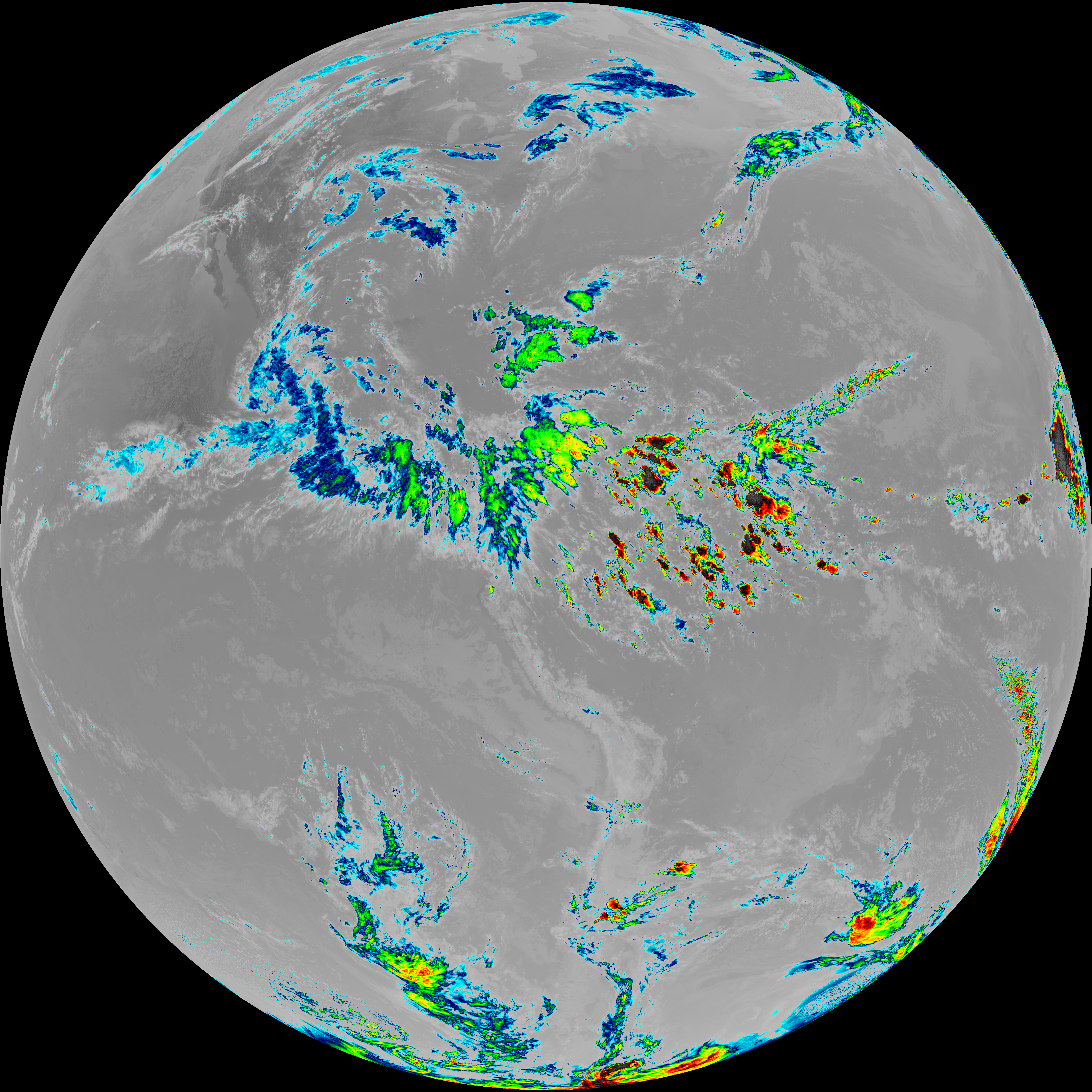
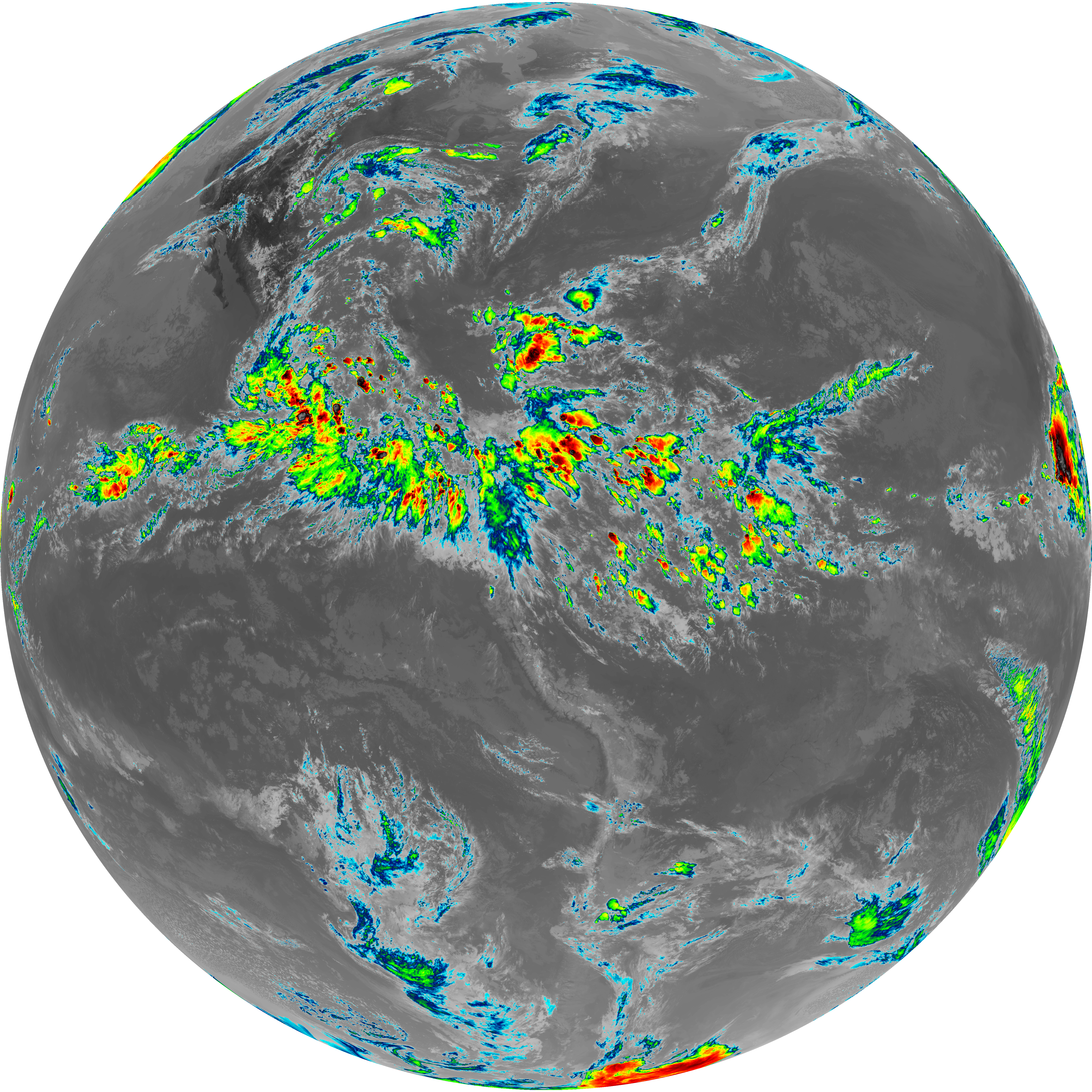
| abi_rgb_Upper-Level_Tropospheric_Water_Vapor.png | 8020215 | 2026-Jun-06 22:51 |
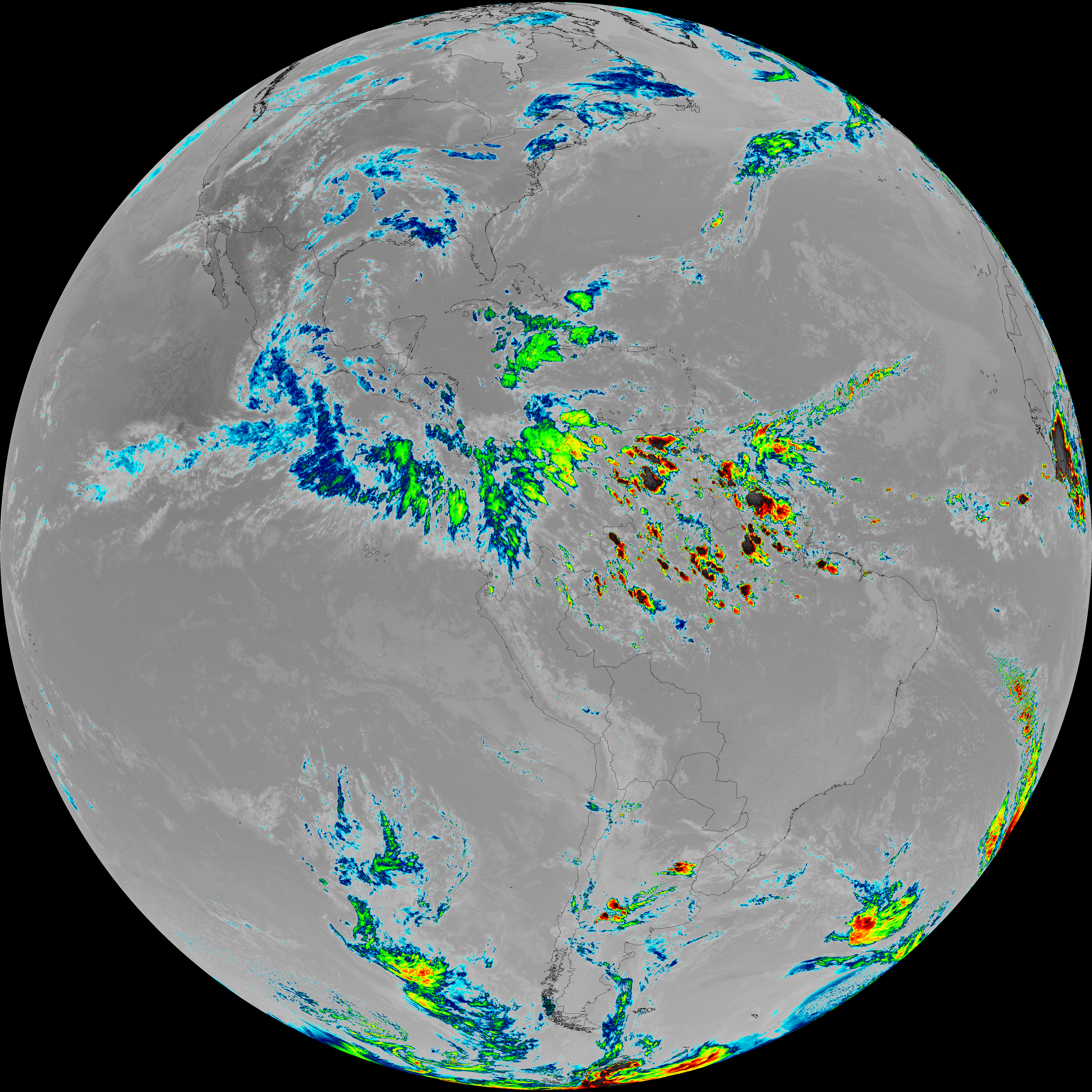
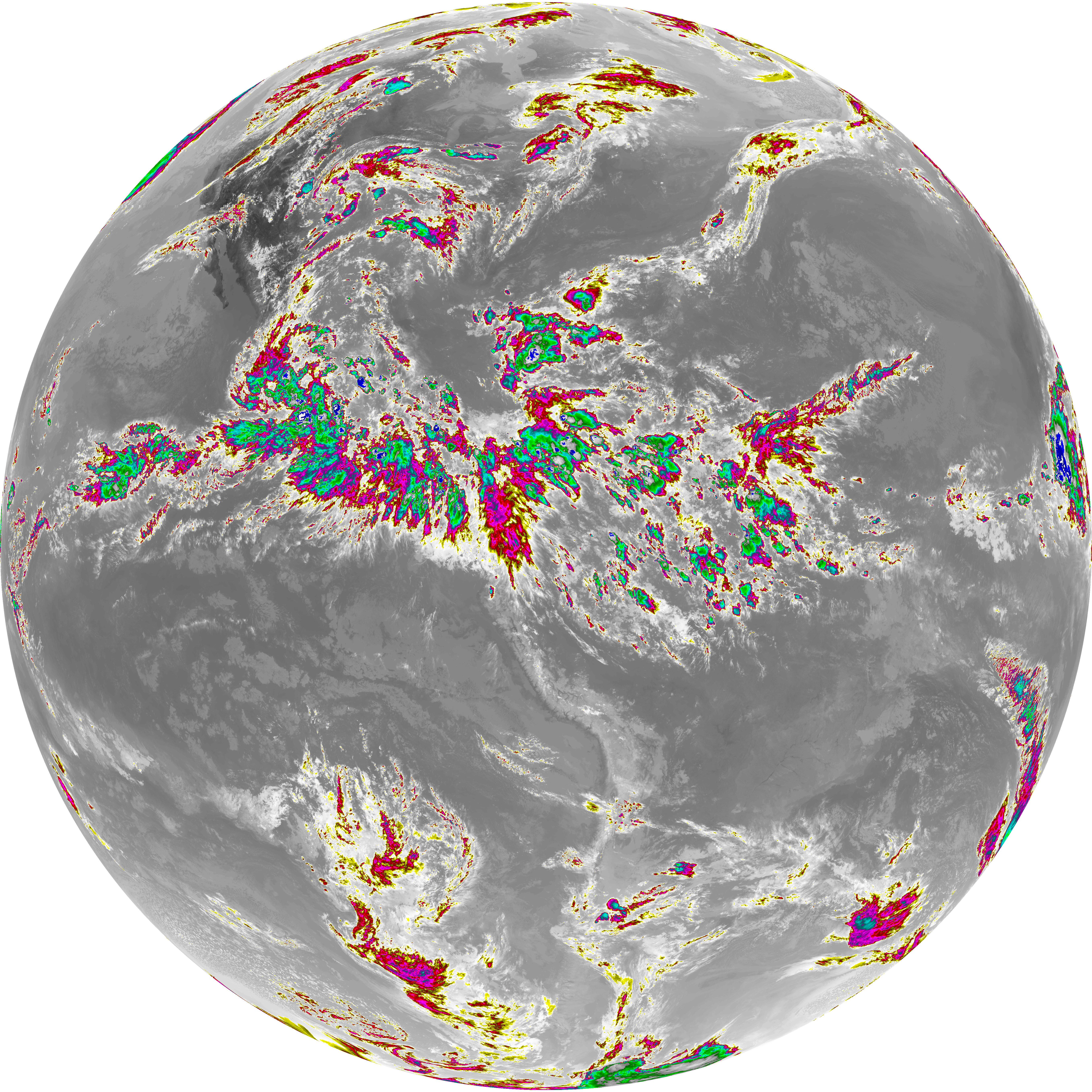
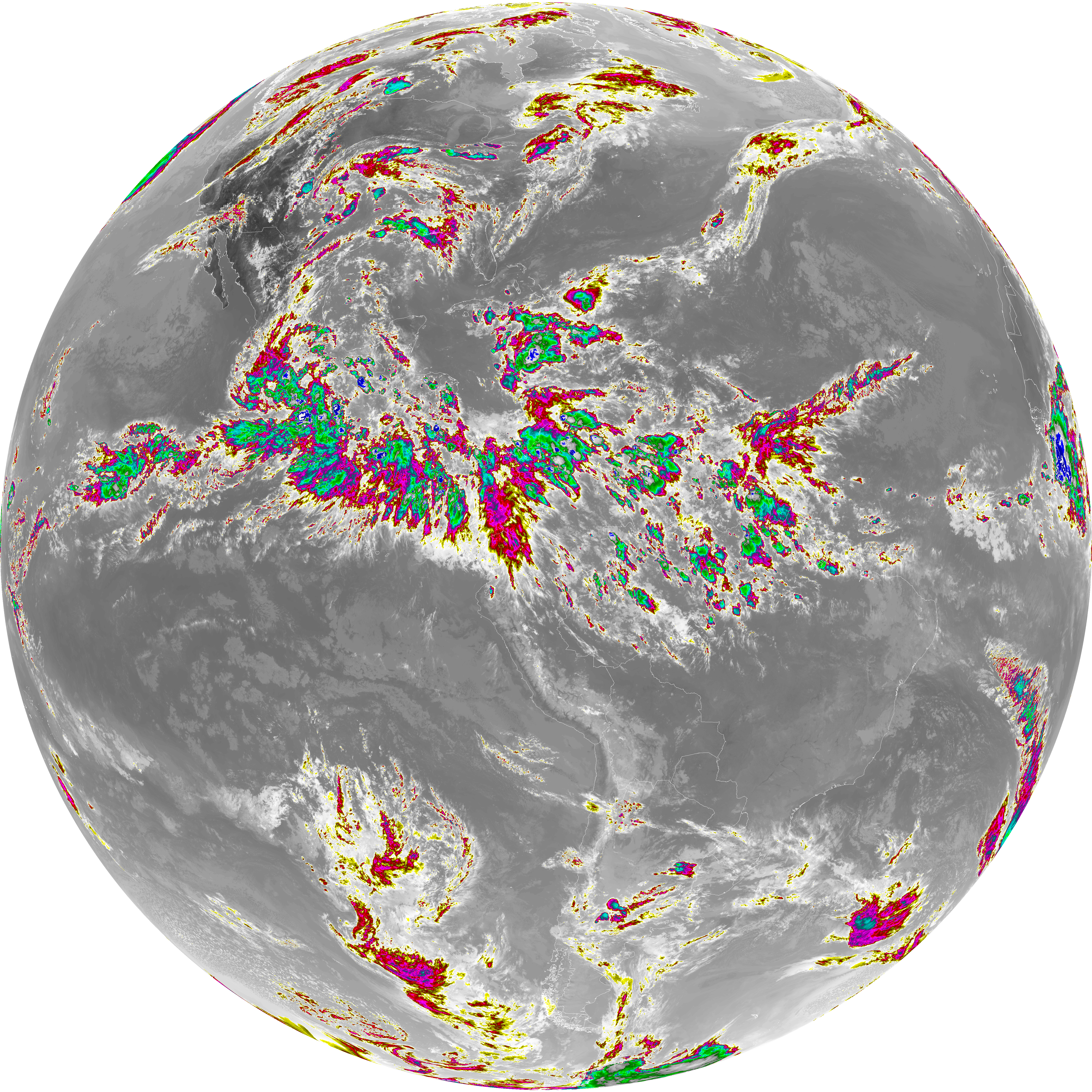
| abi_rgb_Upper-Level_Tropospheric_Water_Vapor_map.png | 8127871 | 2026-Jun-06 22:51 |
| G19_9_20260606T223021Z.png | 6933710 | 2026-Jun-06 22:53 |
| abi_rgb_Mid-level_Tropospheric_Water_Vapor.png | 9299451 | 2026-Jun-06 22:53 |
| abi_rgb_Mid-level_Tropospheric_Water_Vapor_map.png | 9397452 | 2026-Jun-06 22:53 |
| G19_14_20260606T223021Z.png | 10795698 | 2026-Jun-06 22:56 |
| abi_rgb_Infrared_Longwave_Window_Band.png | 14494577 | 2026-Jun-06 22:56 |
| abi_rgb_Infrared_Longwave_Window_Band_map.png | 14532422 | 2026-Jun-06 22:56 |
| G19_15_20260606T223021Z.png | 10502738 | 2026-Jun-06 22:59 |
| abi_rgb_Dirty_Longwave_Window.png | 14141932 | 2026-Jun-06 22:59 |
| abi_rgb_Dirty_Longwave_Window_map.png | 14183200 | 2026-Jun-06 22:59 |
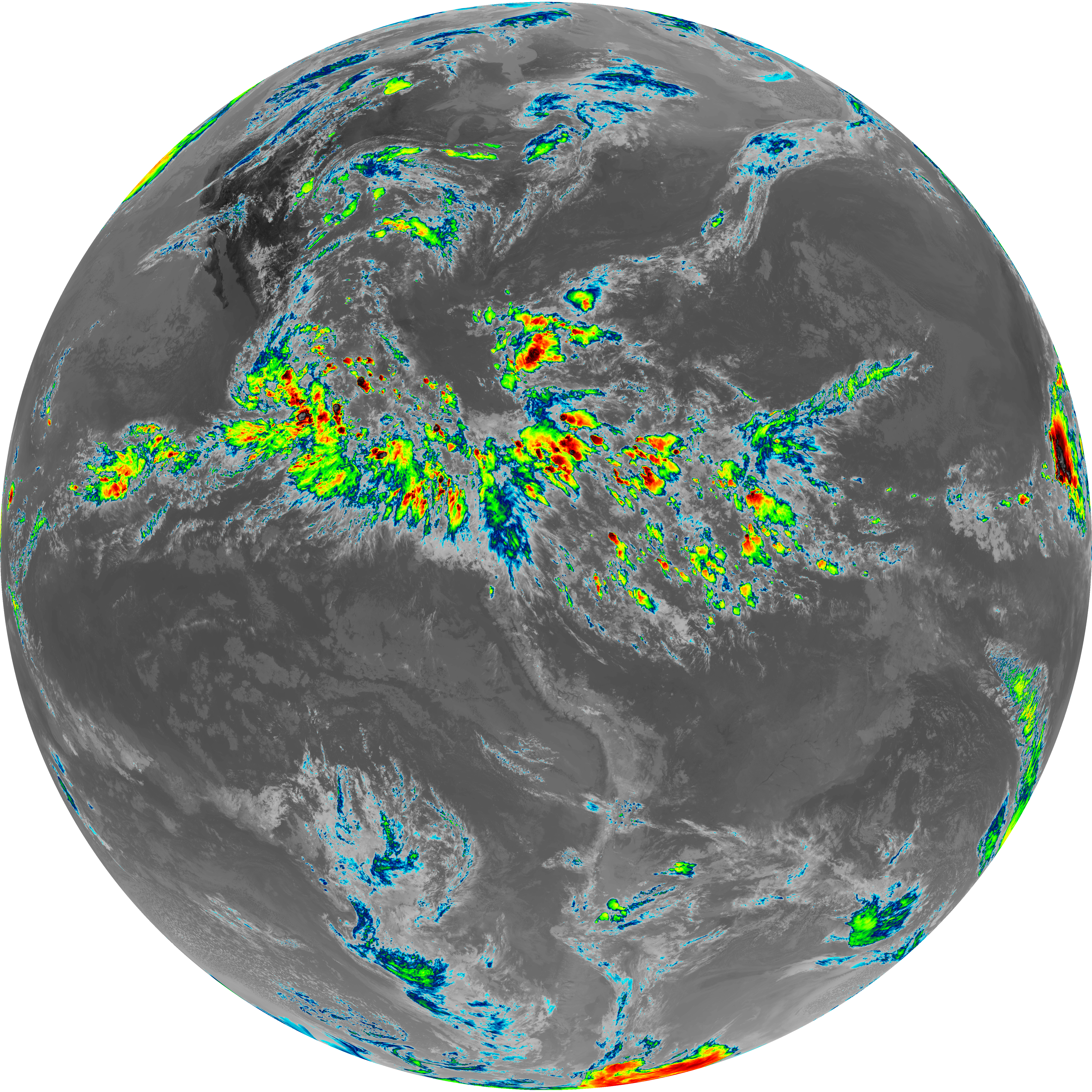
| abi_rgb_Dirty_Longwave_Window_-_CIRA.png | 12515953 | 2026-Jun-06 23:00 |
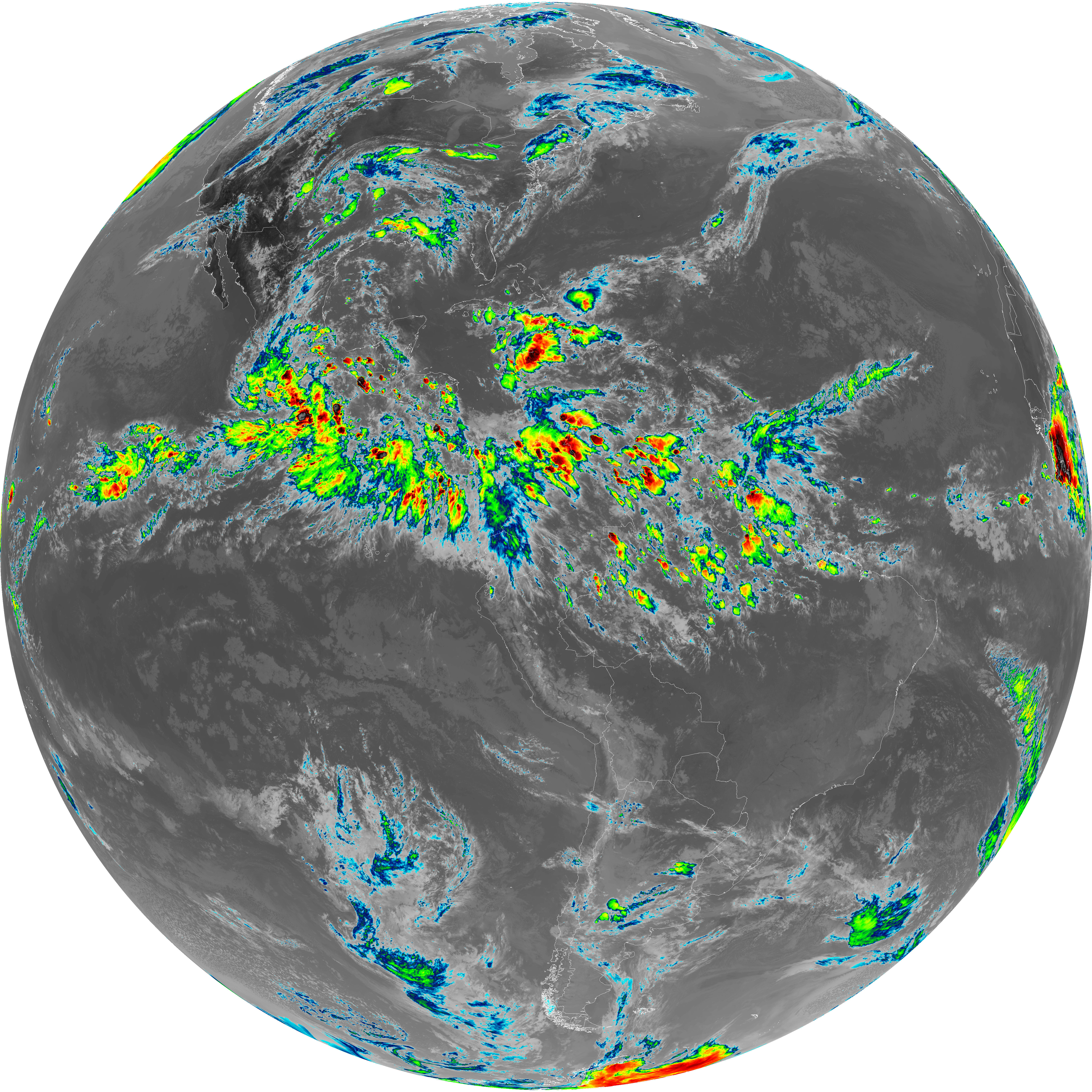
| abi_rgb_Dirty_Longwave_Window_-_CIRA_map.png | 12569786 | 2026-Jun-06 23:00 |