| Parent directory/ | - | - |
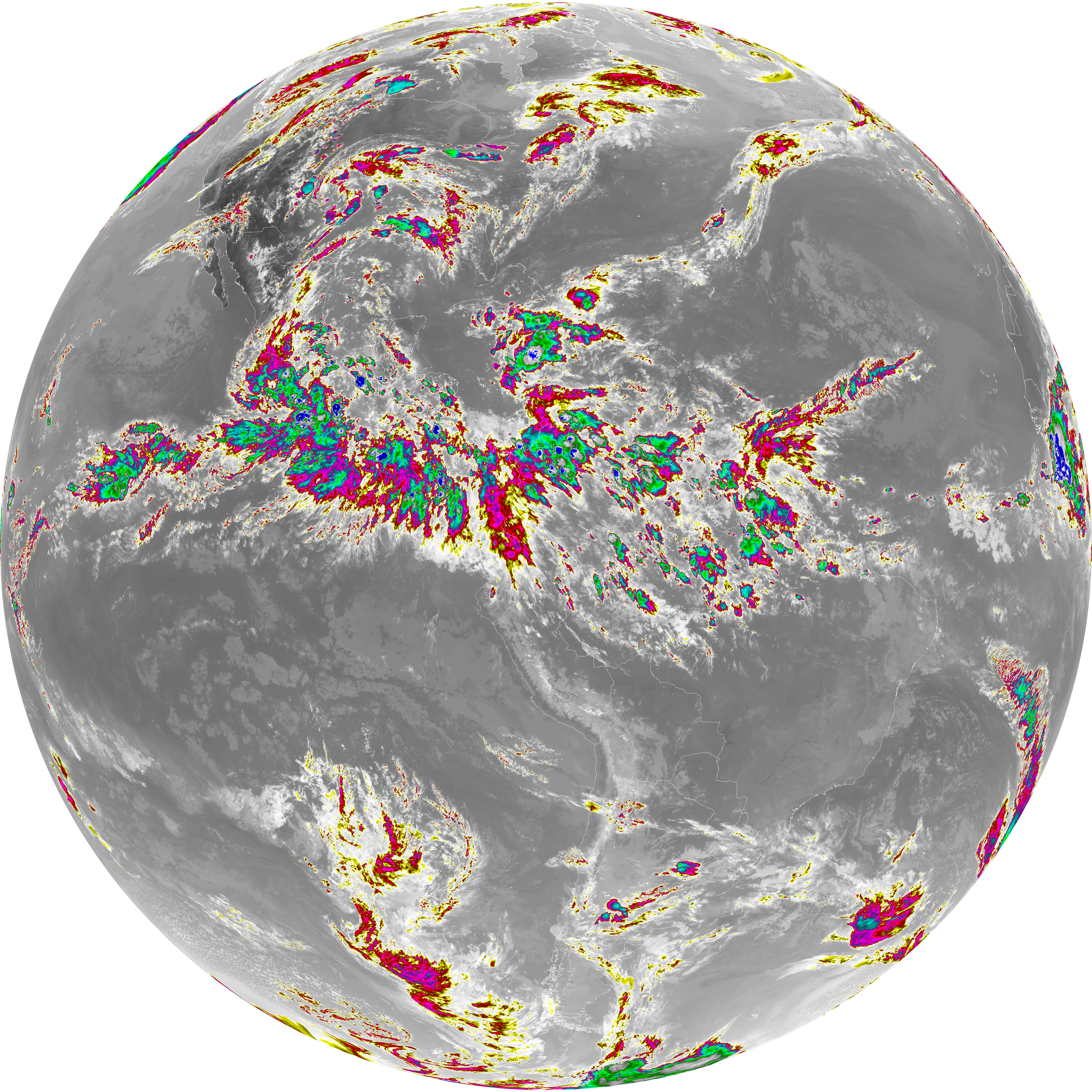
| abi_rgb_Dirty_Longwave_Window_-_CIRA_map.png | 12540093 | 2026-Jun-06 23:29 |
| abi_rgb_Dirty_Longwave_Window_-_CIRA.png | 12484999 | 2026-Jun-06 23:29 |
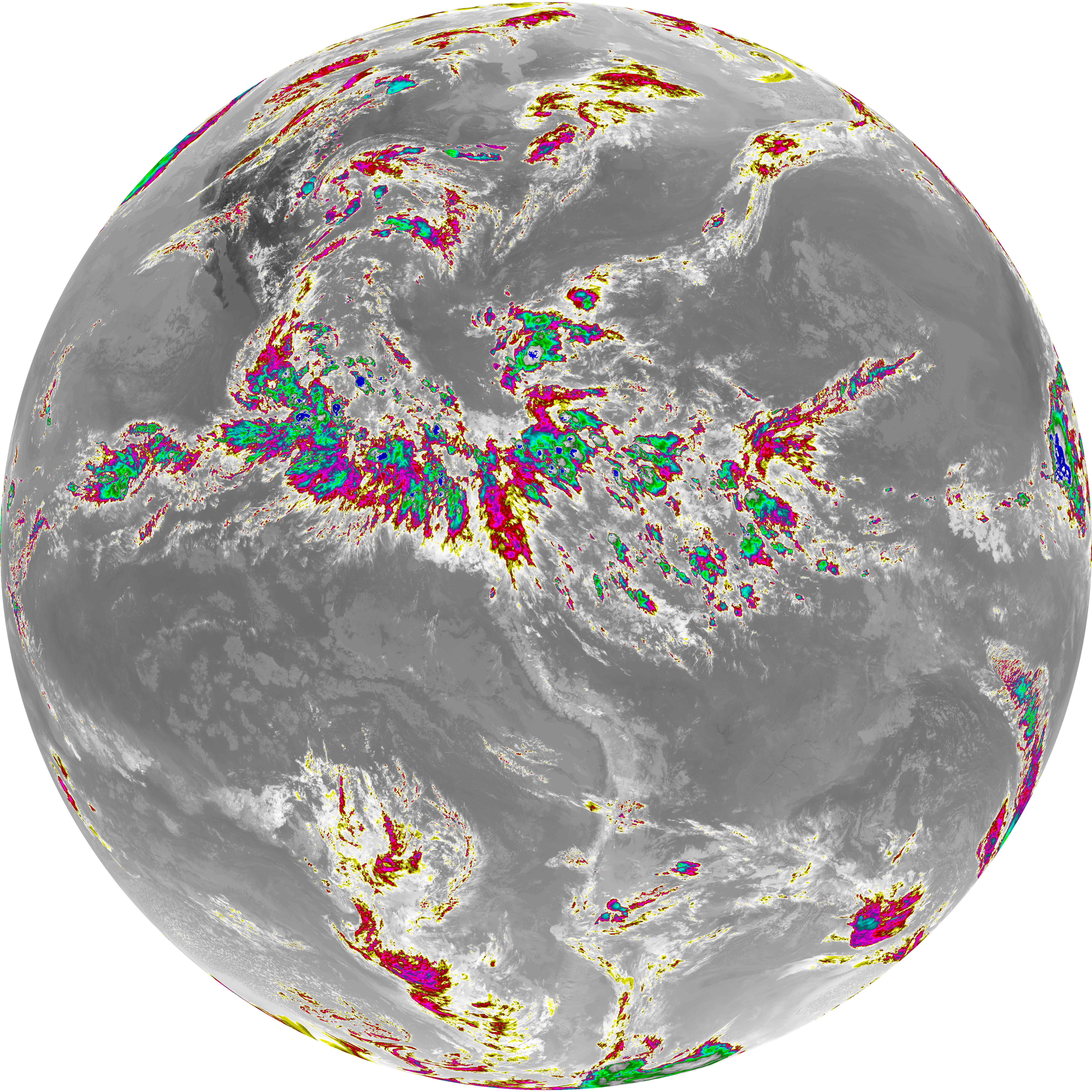
| abi_rgb_Dirty_Longwave_Window_map.png | 14160722 | 2026-Jun-06 23:29 |
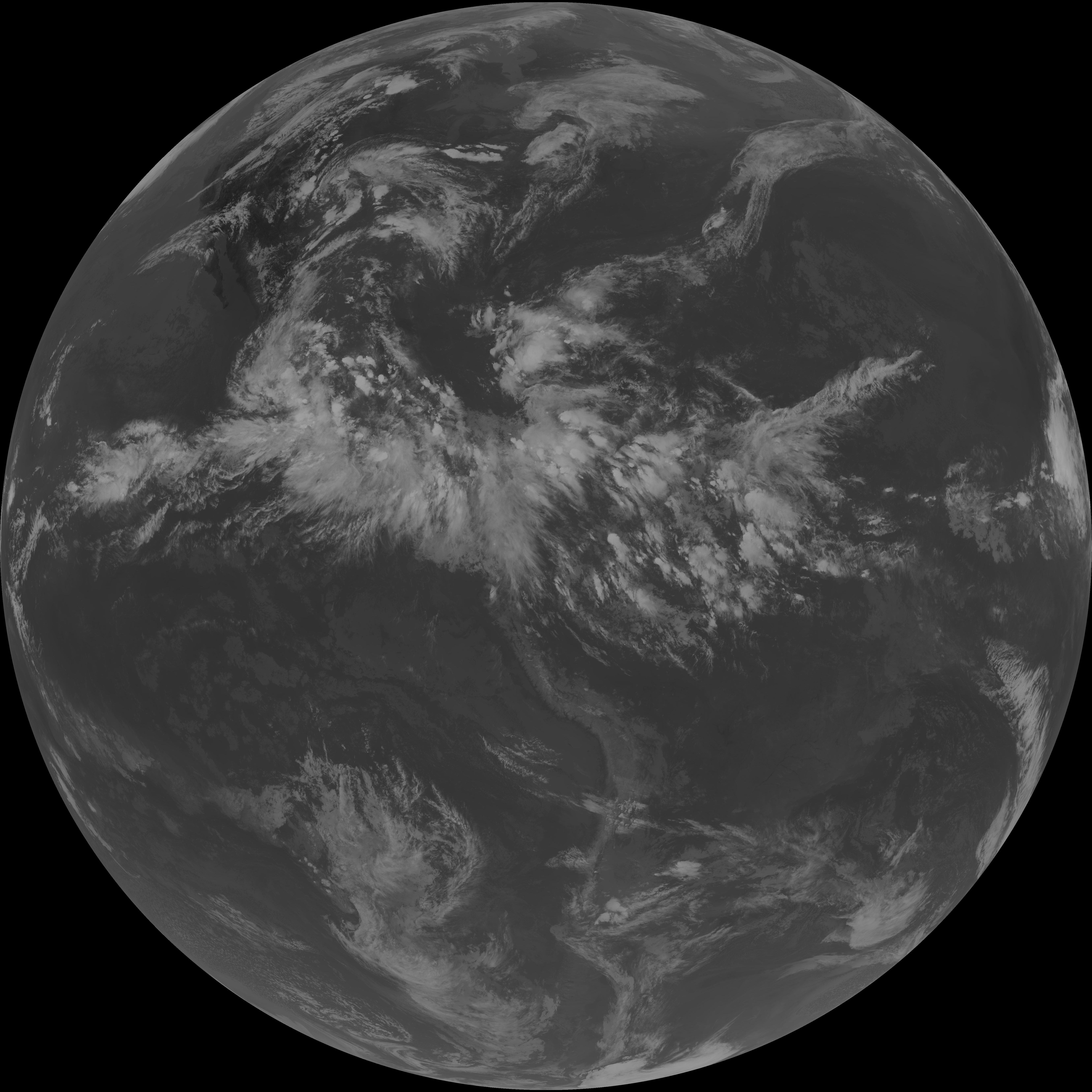
| abi_rgb_Dirty_Longwave_Window.png | 14118140 | 2026-Jun-06 23:29 |
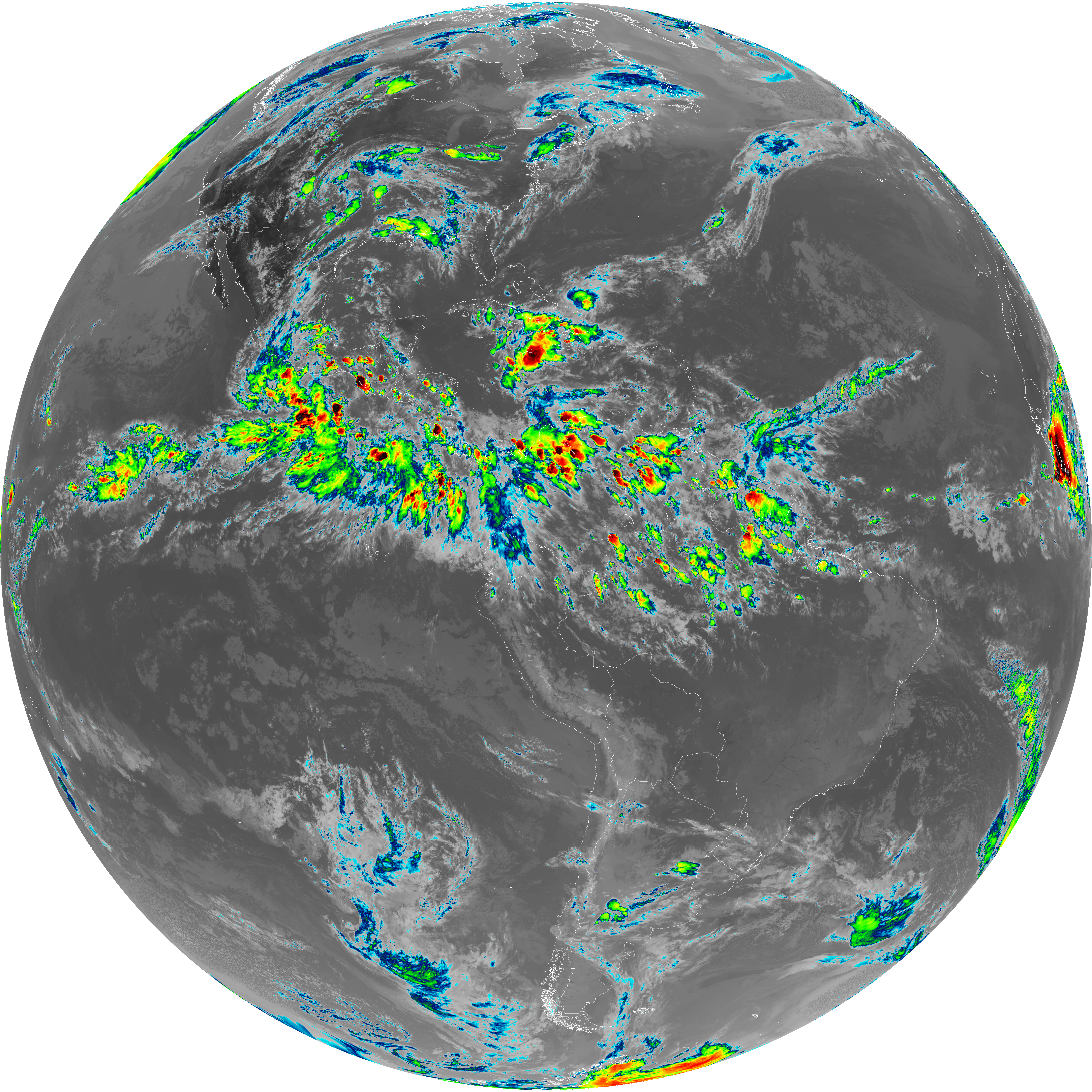
| G19_15_20260606T230021Z.png | 10490235 | 2026-Jun-06 23:29 |
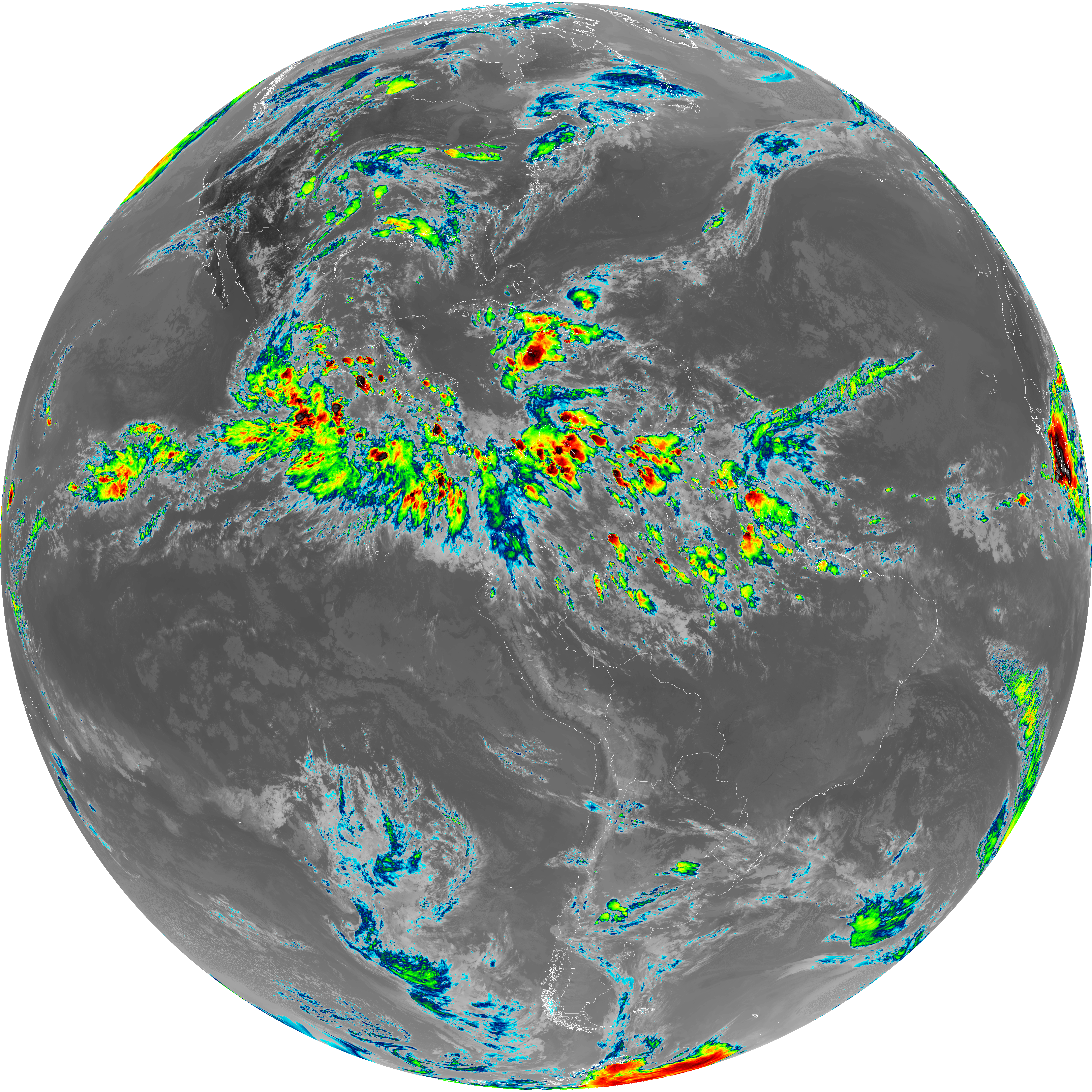
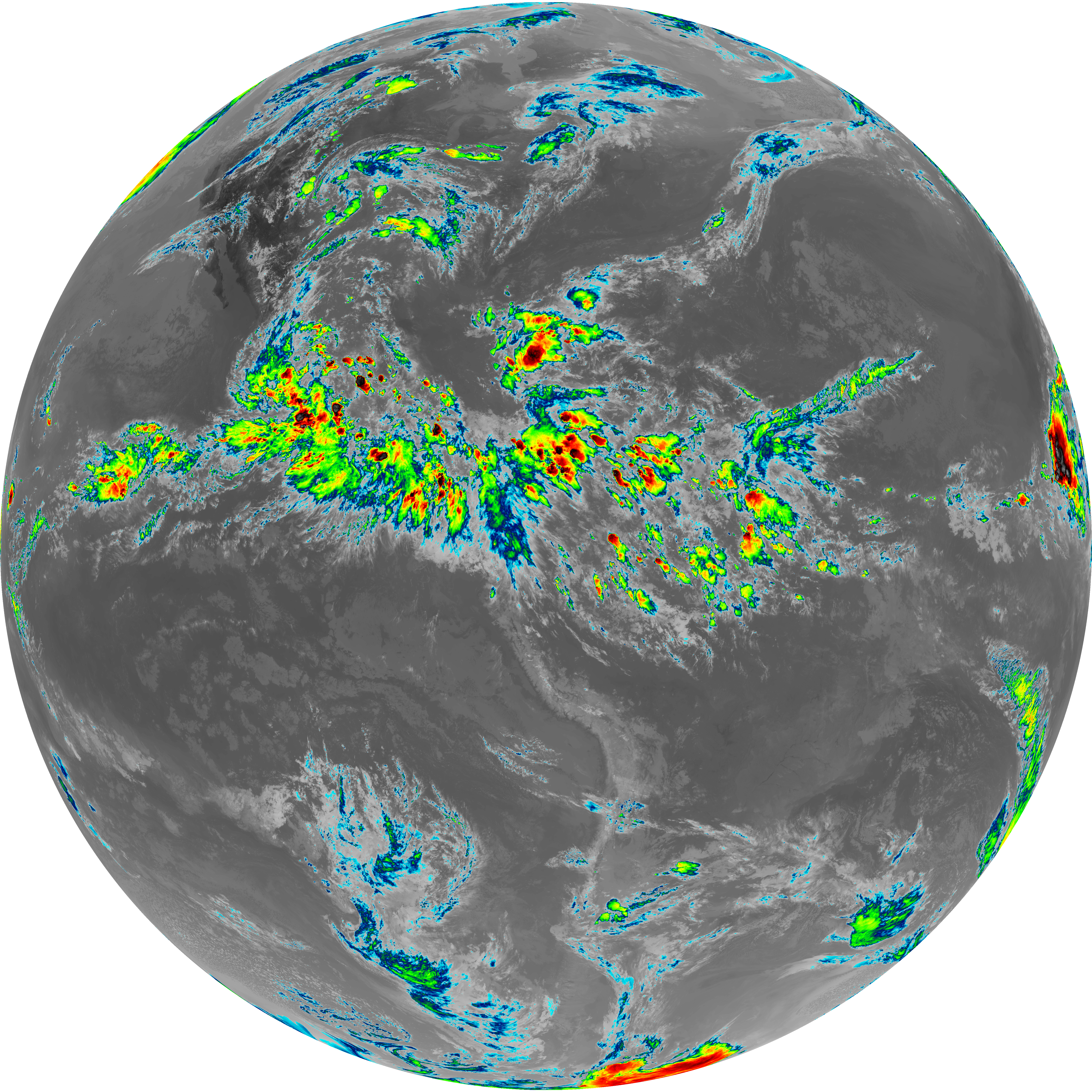
| abi_rgb_Infrared_Longwave_Window_Band_map.png | 14476900 | 2026-Jun-06 23:26 |
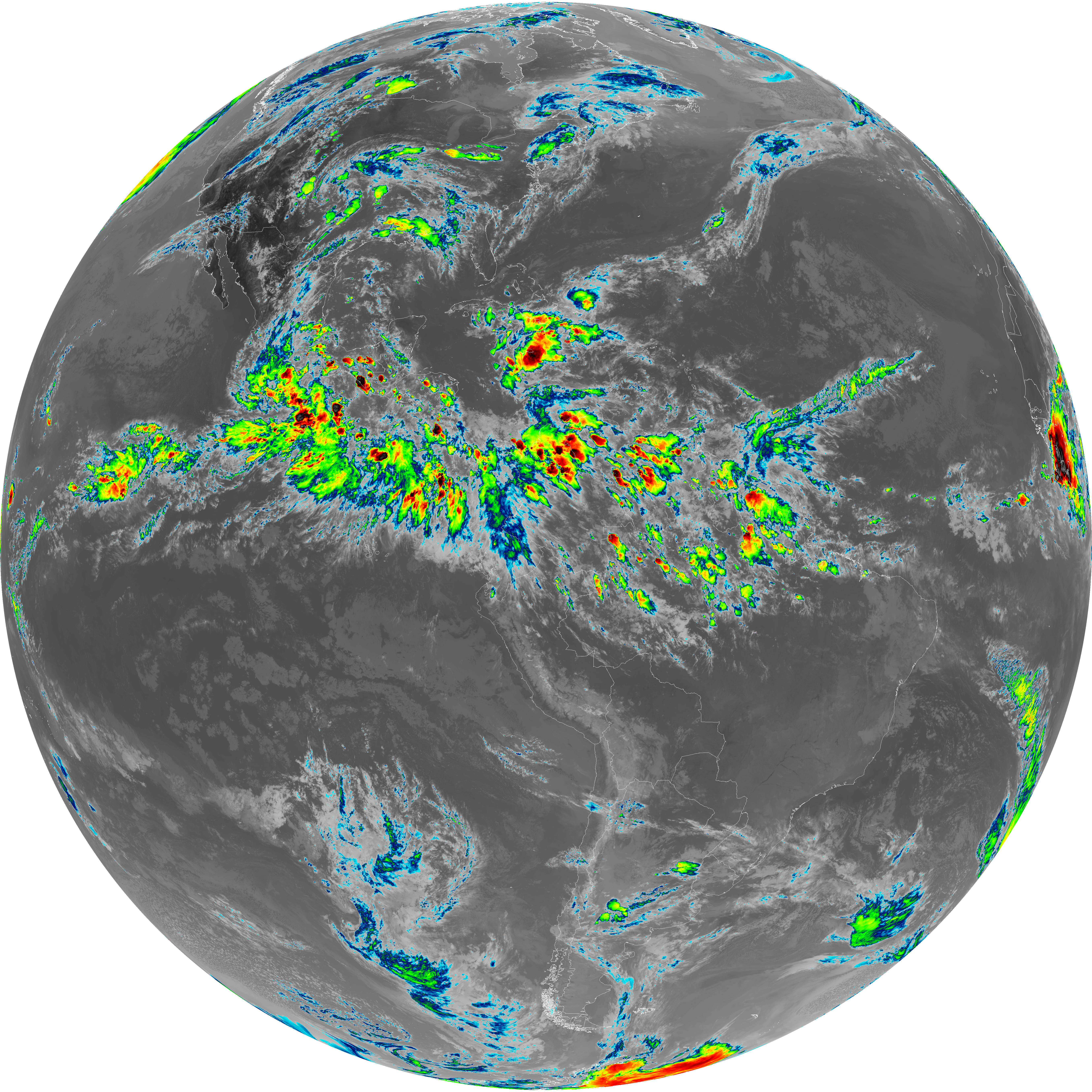
| abi_rgb_Infrared_Longwave_Window_Band.png | 14437657 | 2026-Jun-06 23:26 |
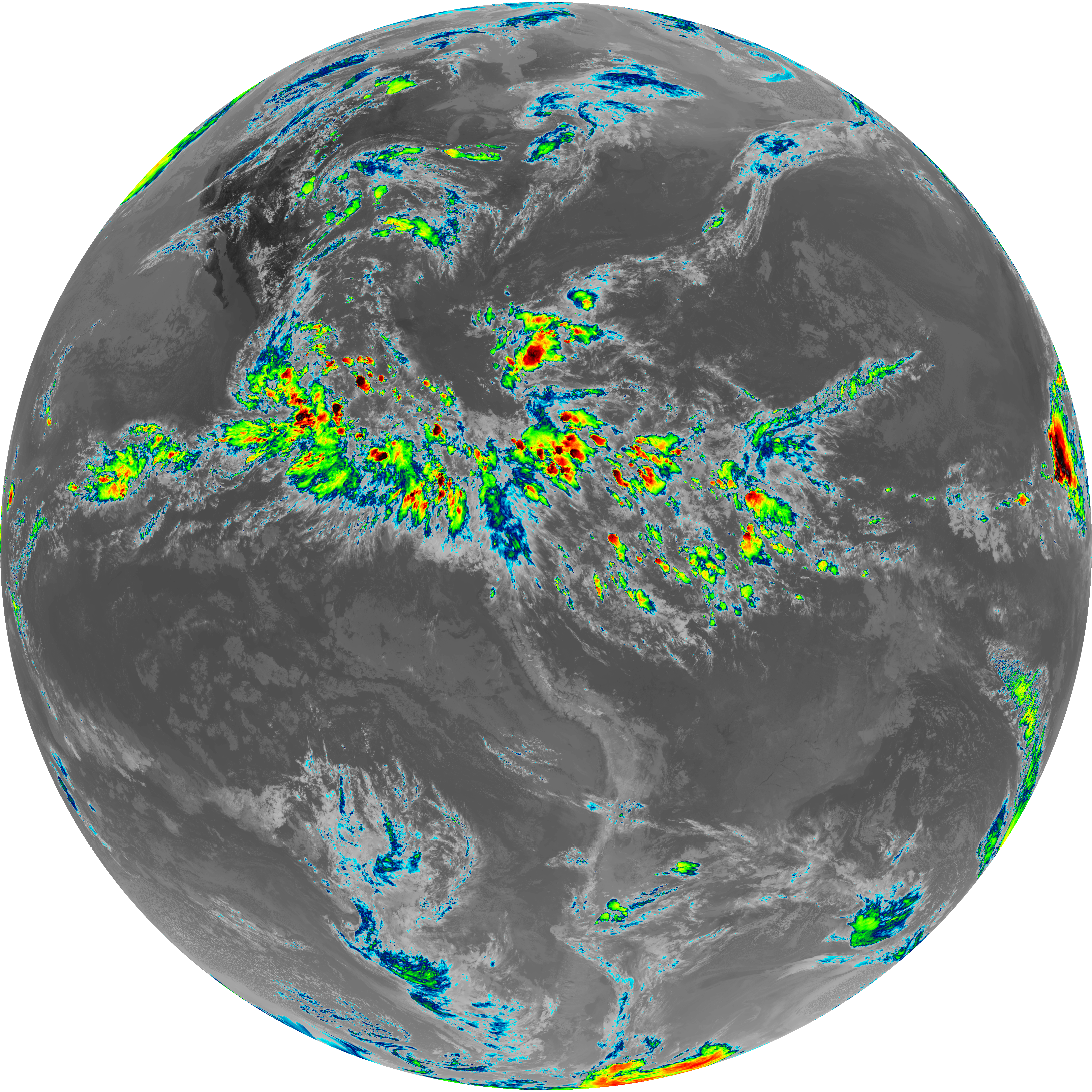
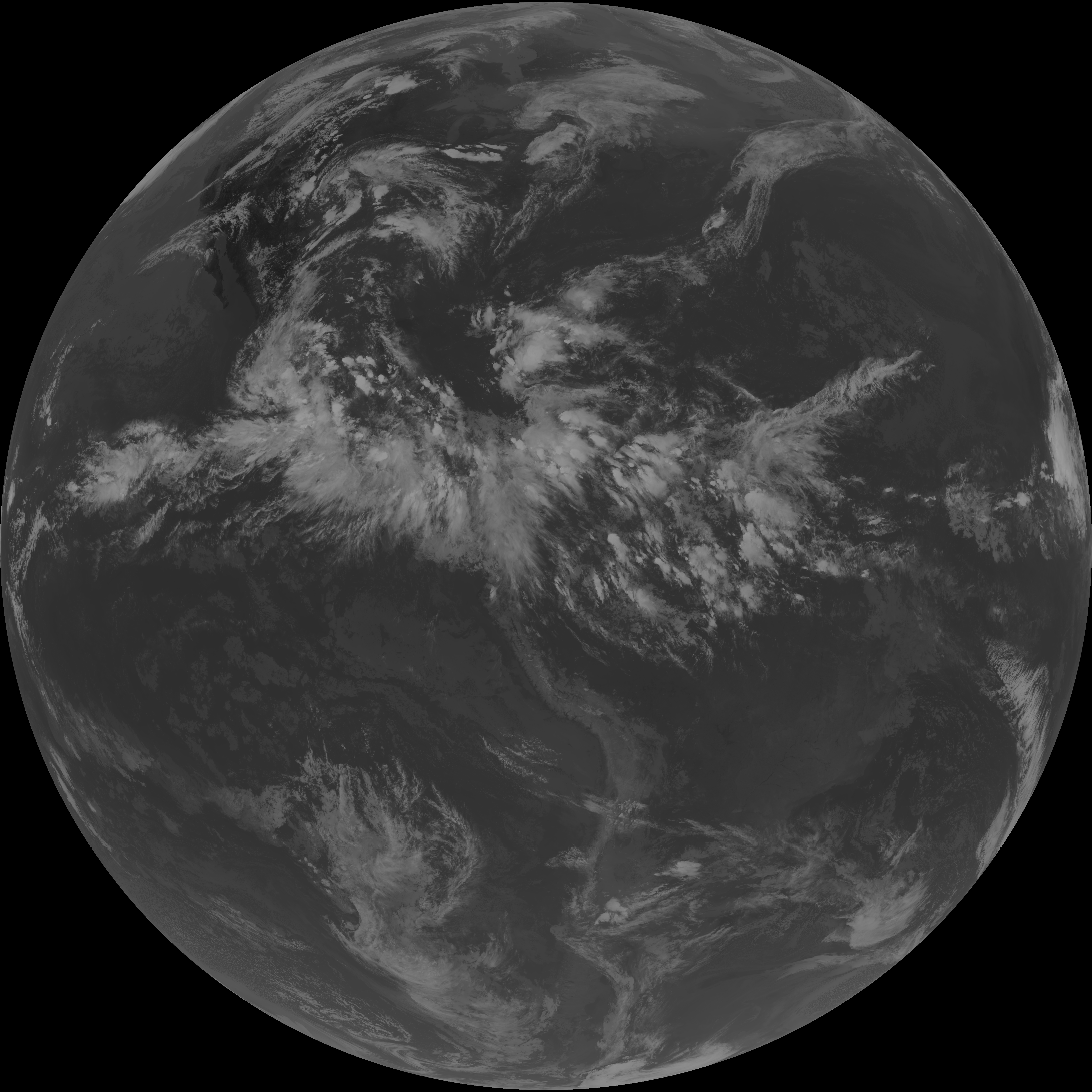
| G19_14_20260606T230021Z.png | 10753549 | 2026-Jun-06 23:26 |
| abi_rgb_Mid-level_Tropospheric_Water_Vapor_map.png | 9382109 | 2026-Jun-06 23:23 |
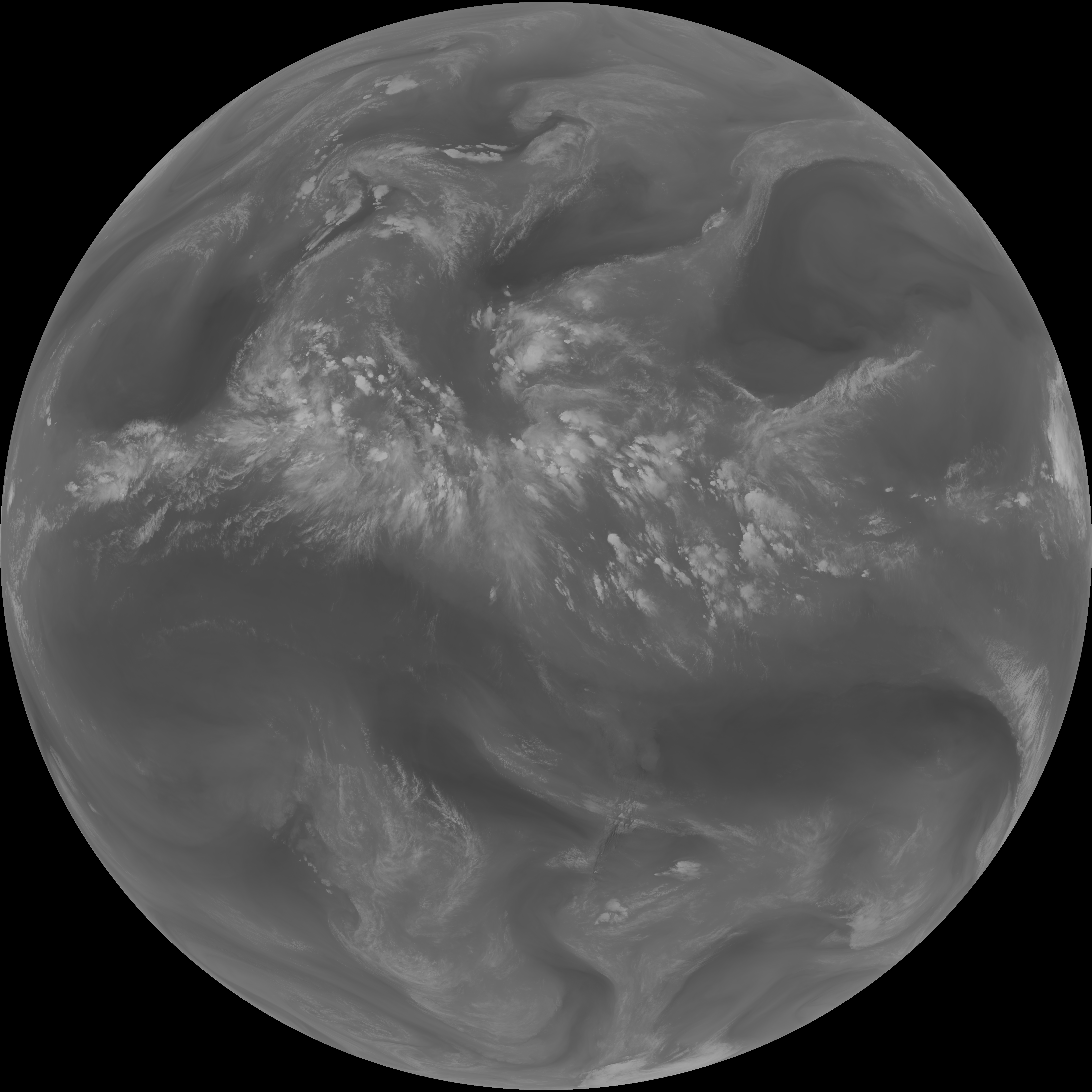
| abi_rgb_Mid-level_Tropospheric_Water_Vapor.png | 9285600 | 2026-Jun-06 23:23 |
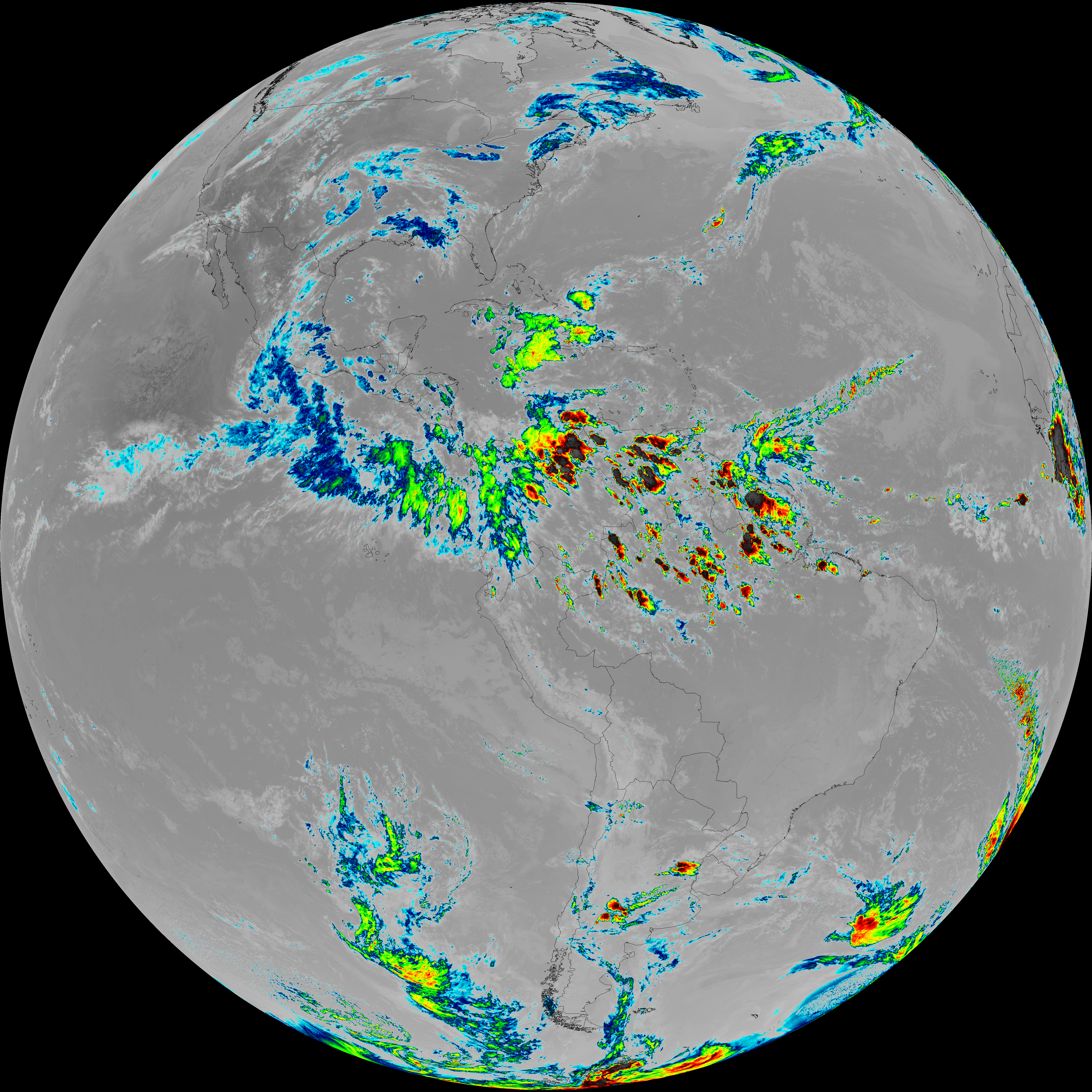
| G19_9_20260606T230021Z.png | 6924177 | 2026-Jun-06 23:23 |
| abi_rgb_Upper-Level_Tropospheric_Water_Vapor_map.png | 8071157 | 2026-Jun-06 23:21 |
| abi_rgb_Upper-Level_Tropospheric_Water_Vapor.png | 7963799 | 2026-Jun-06 23:21 |
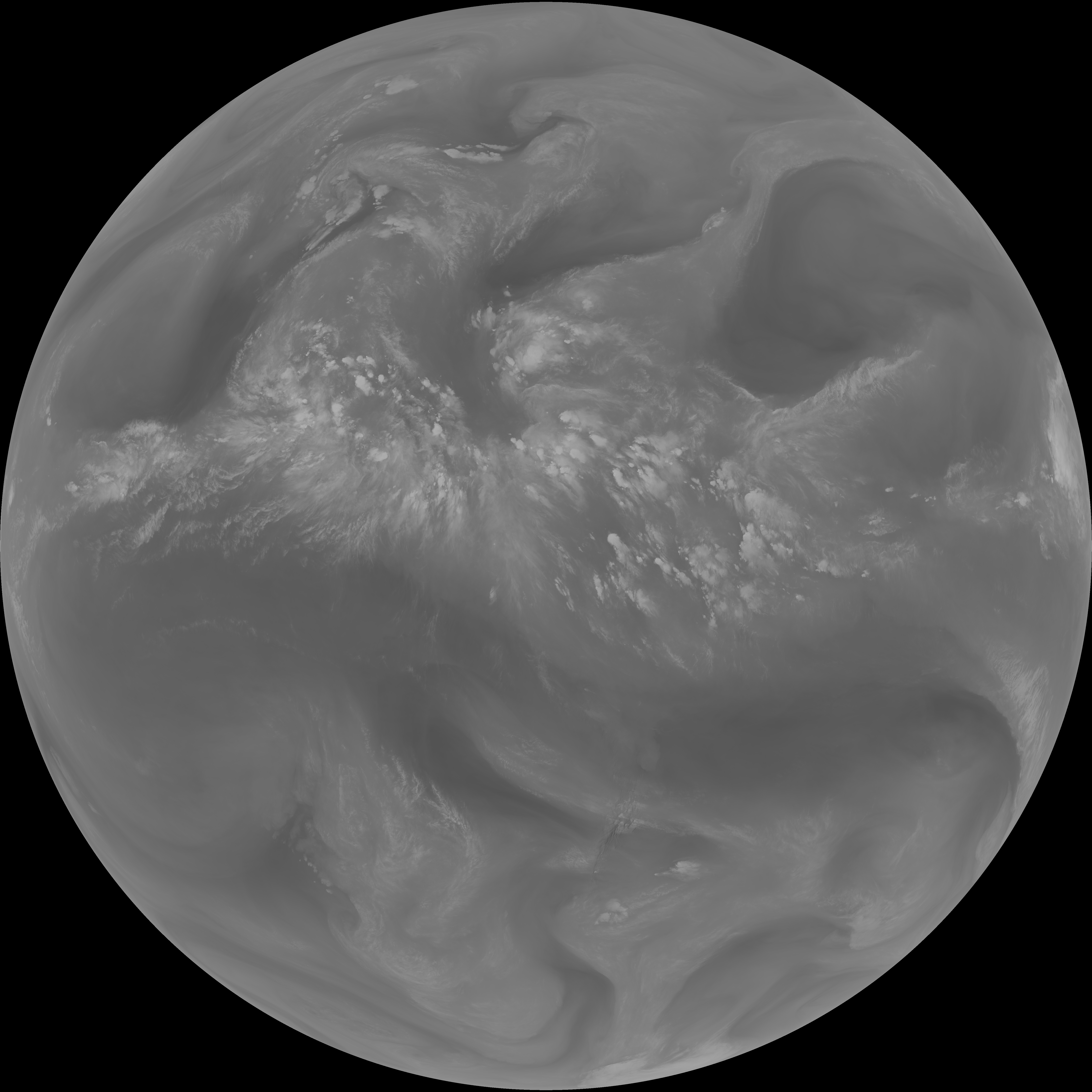
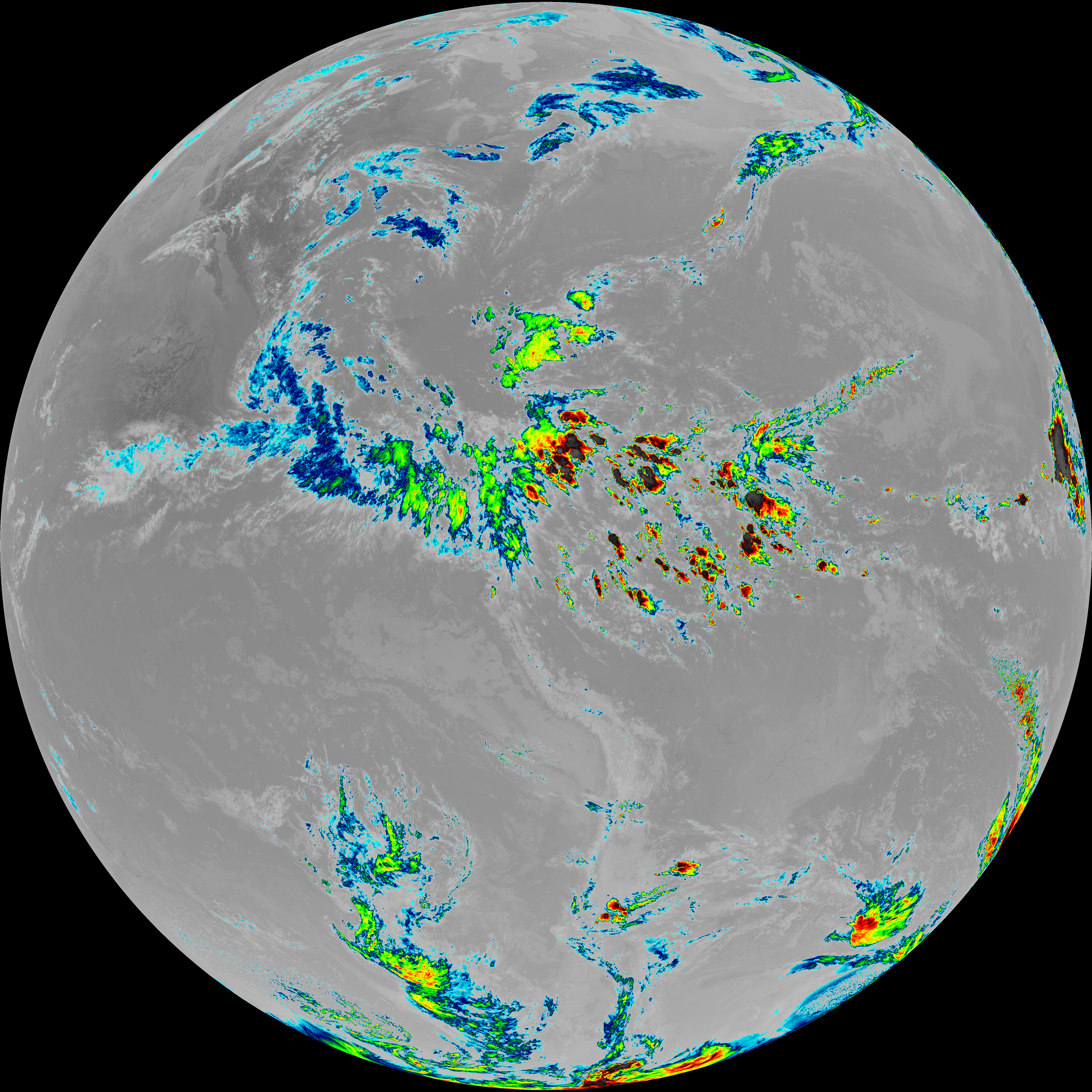
| G19_8_20260606T230021Z.png | 5956371 | 2026-Jun-06 23:20 |
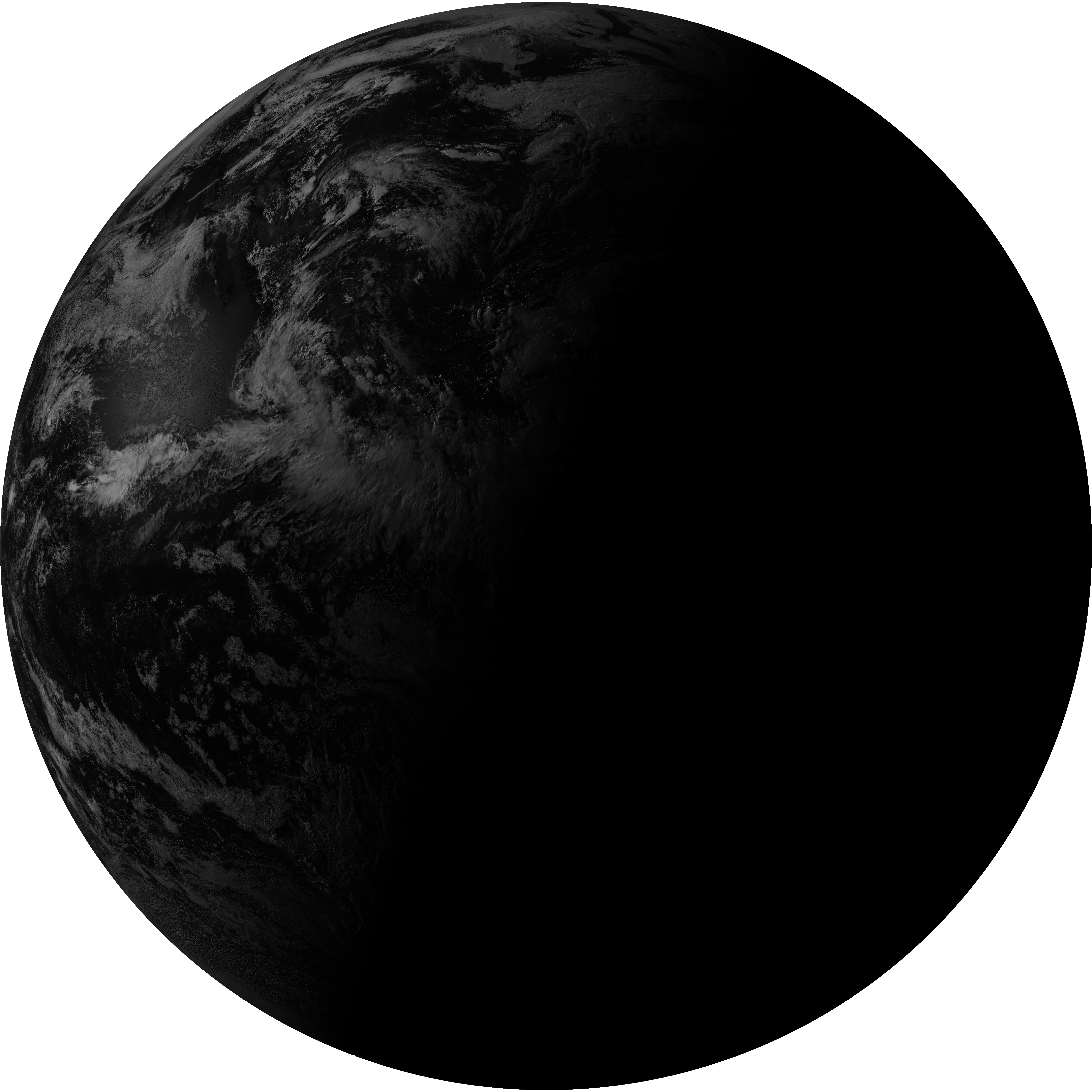
| G19_2_20260606T230021Z.png | 7074472 | 2026-Jun-06 23:18 |
| abi_rgb_Clean_Longwave_IR_Window_Band_map.png | 14278125 | 2026-Jun-06 23:16 |
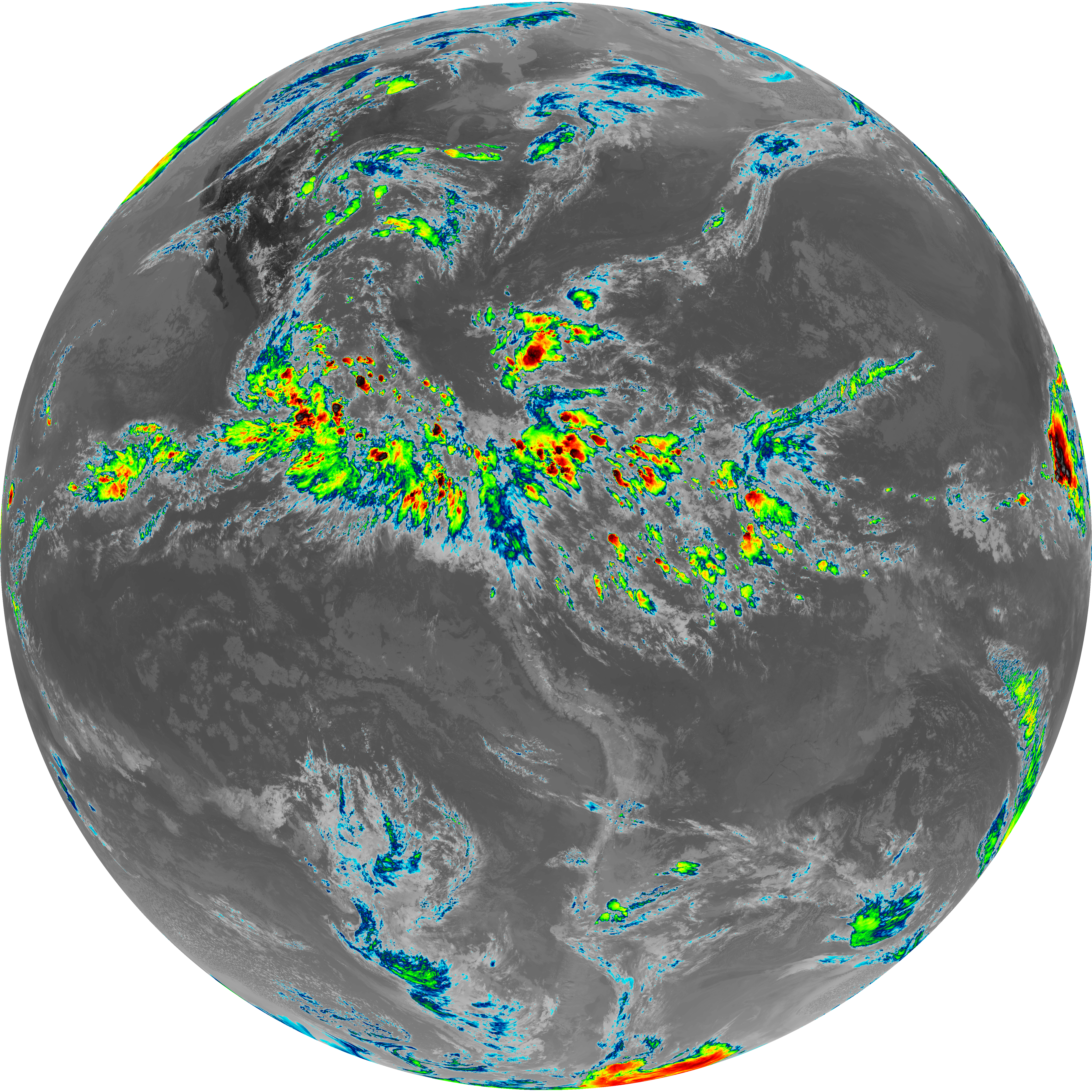
| abi_rgb_Clean_Longwave_IR_Window_Band.png | 14239098 | 2026-Jun-06 23:16 |
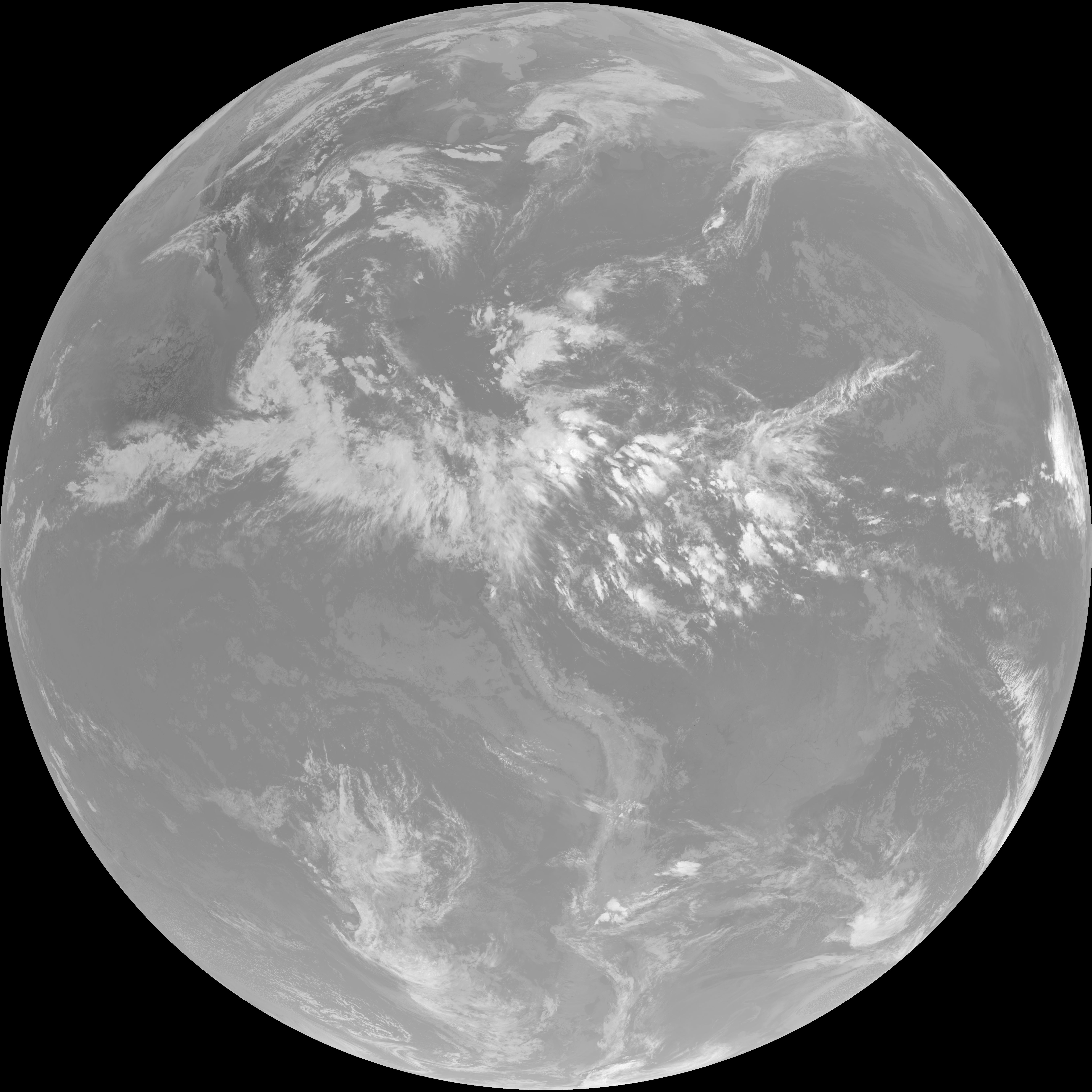
| G19_13_20260606T230021Z.png | 10586576 | 2026-Jun-06 23:16 |
| abi_rgb_Shortwave_Window_Band_map.png | 14942632 | 2026-Jun-06 23:13 |
| abi_rgb_Shortwave_Window_Band.png | 14888027 | 2026-Jun-06 23:13 |
| G19_7_20260606T230021Z.png | 10957931 | 2026-Jun-06 23:13 |