| Parent directory/ | - | - |
| G19_8_20260606T233021Z.png | 5907575 | 2026-Jun-06 23:50 |
| G19_2_20260606T233021Z.png | 6107803 | 2026-Jun-06 23:48 |
| G19_9_20260606T233021Z.png | 6872936 | 2026-Jun-06 23:52 |
| abi_rgb_Upper-Level_Tropospheric_Water_Vapor.png | 7898869 | 2026-Jun-06 23:50 |
| abi_rgb_Upper-Level_Tropospheric_Water_Vapor_map.png | 8007731 | 2026-Jun-06 23:50 |
| abi_rgb_Mid-level_Tropospheric_Water_Vapor.png | 9222811 | 2026-Jun-06 23:52 |
| abi_rgb_Mid-level_Tropospheric_Water_Vapor_map.png | 9319822 | 2026-Jun-06 23:52 |
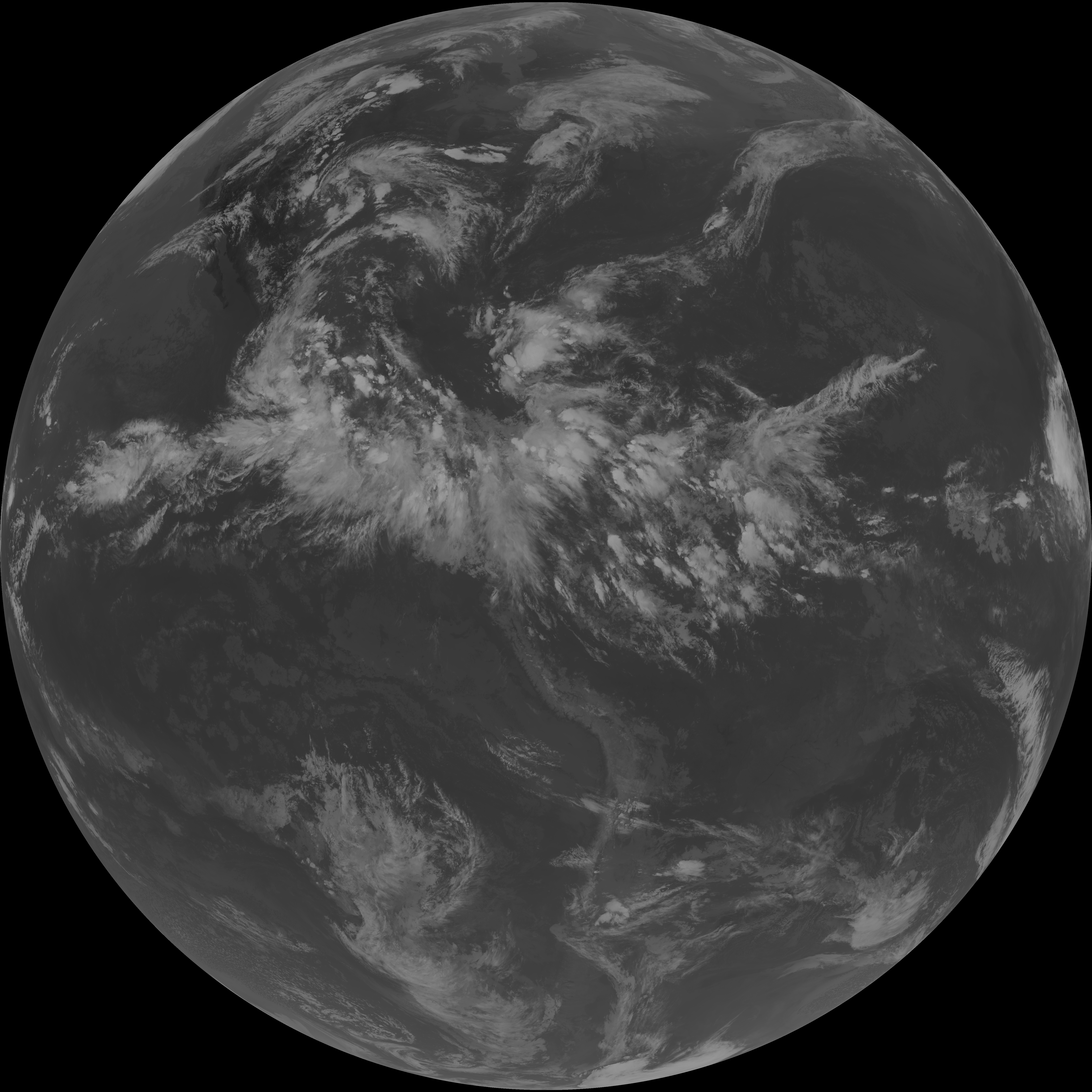
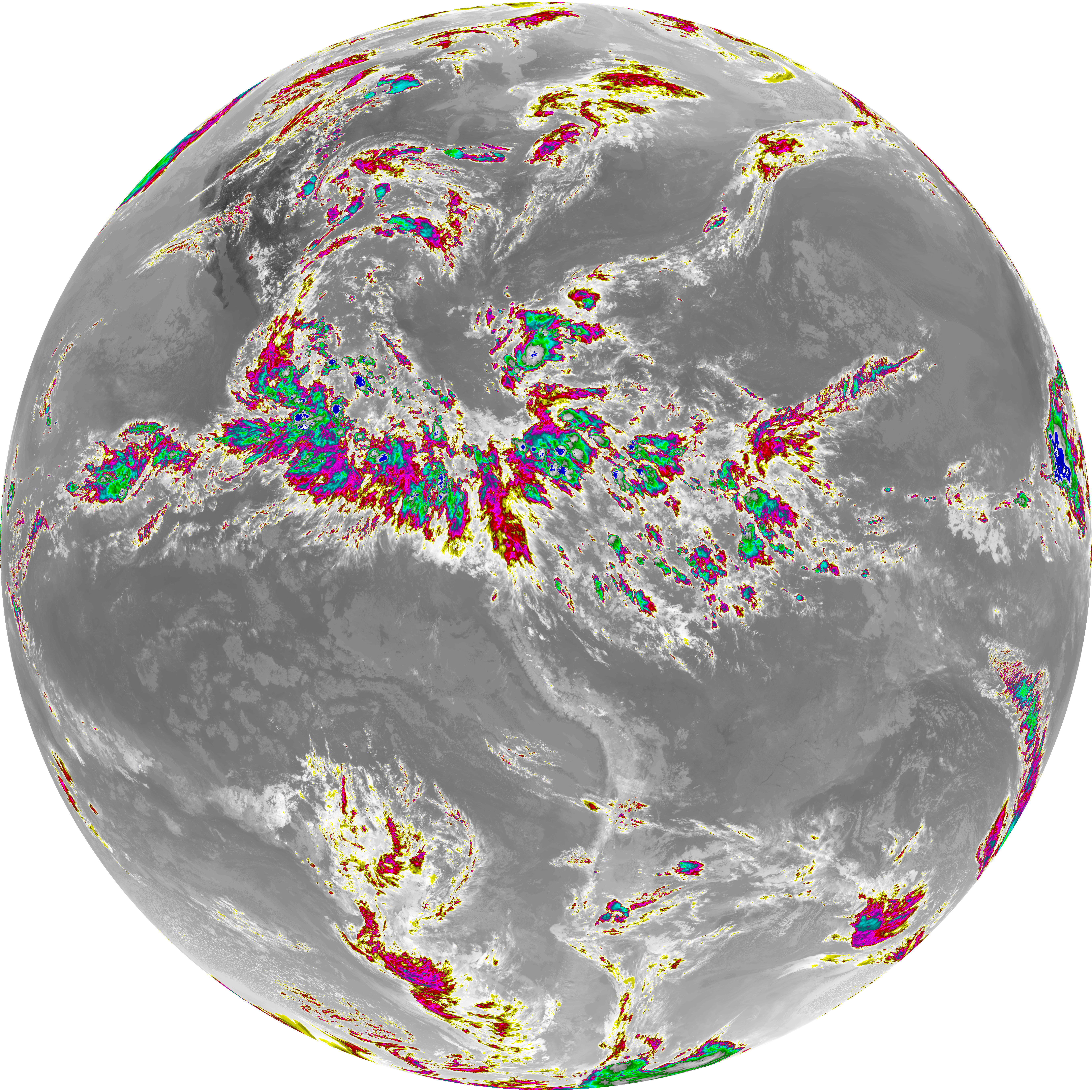
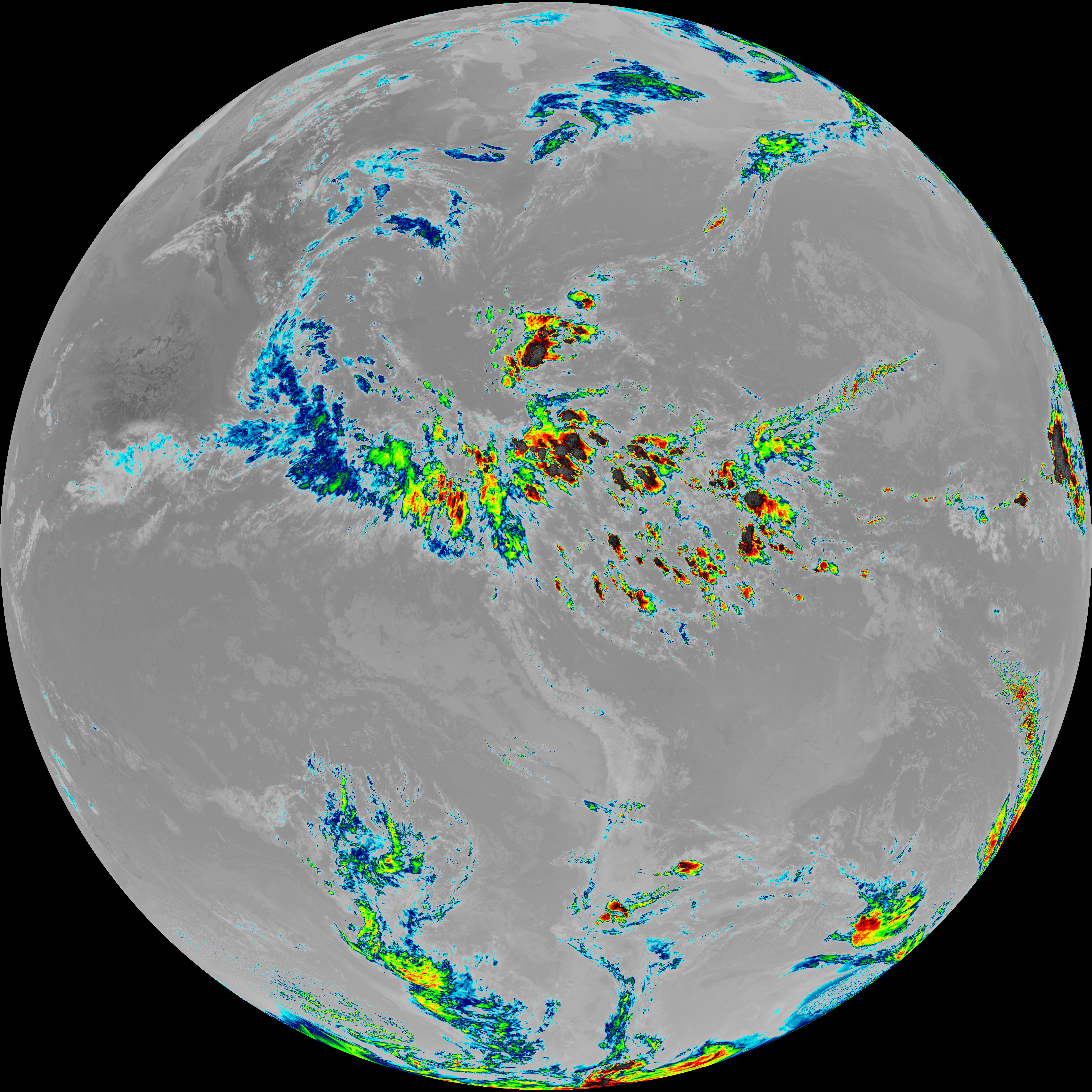
| G19_15_20260606T233021Z.png | 10443162 | 2026-Jun-06 23:58 |
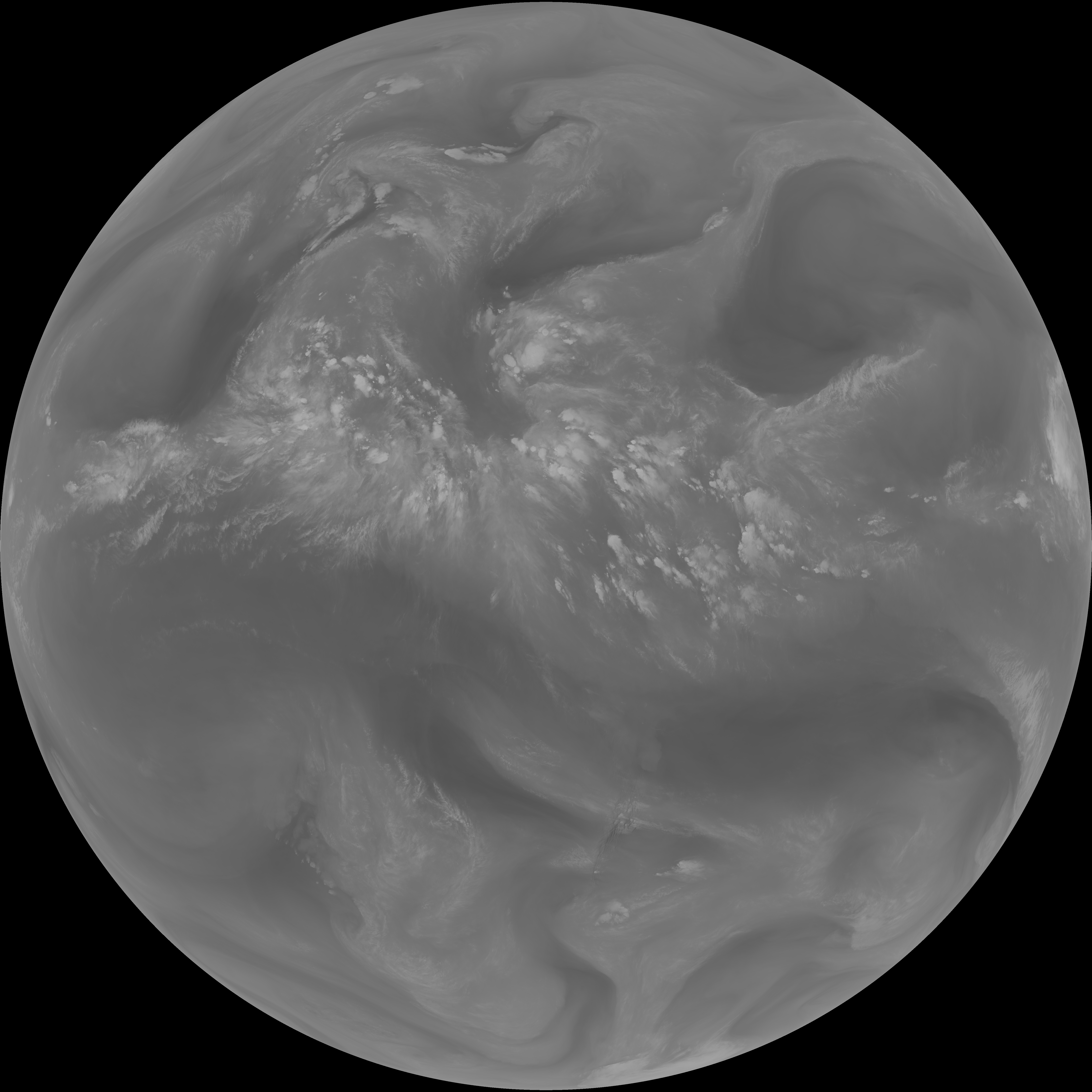
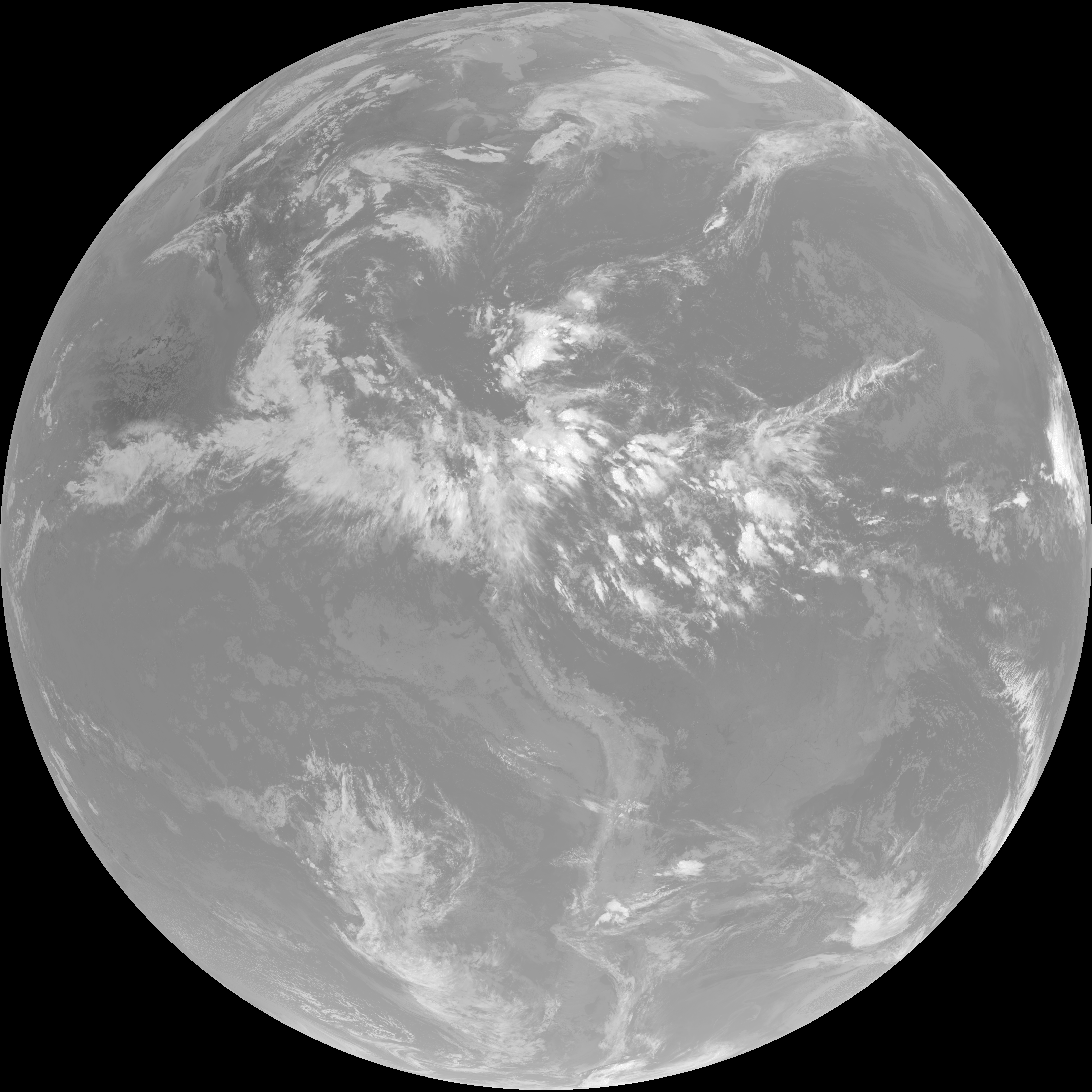
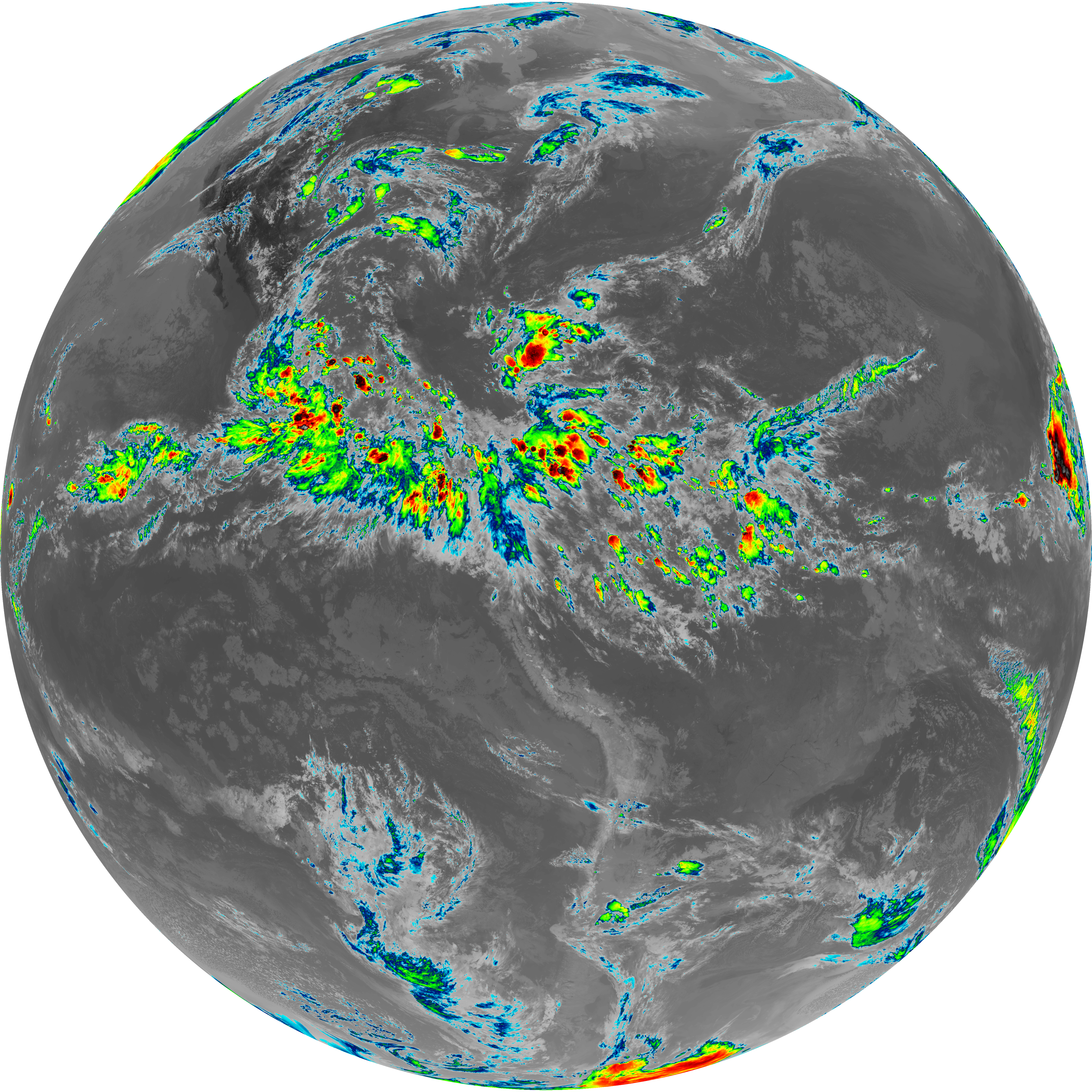
| G19_13_20260606T233021Z.png | 10549353 | 2026-Jun-06 23:46 |
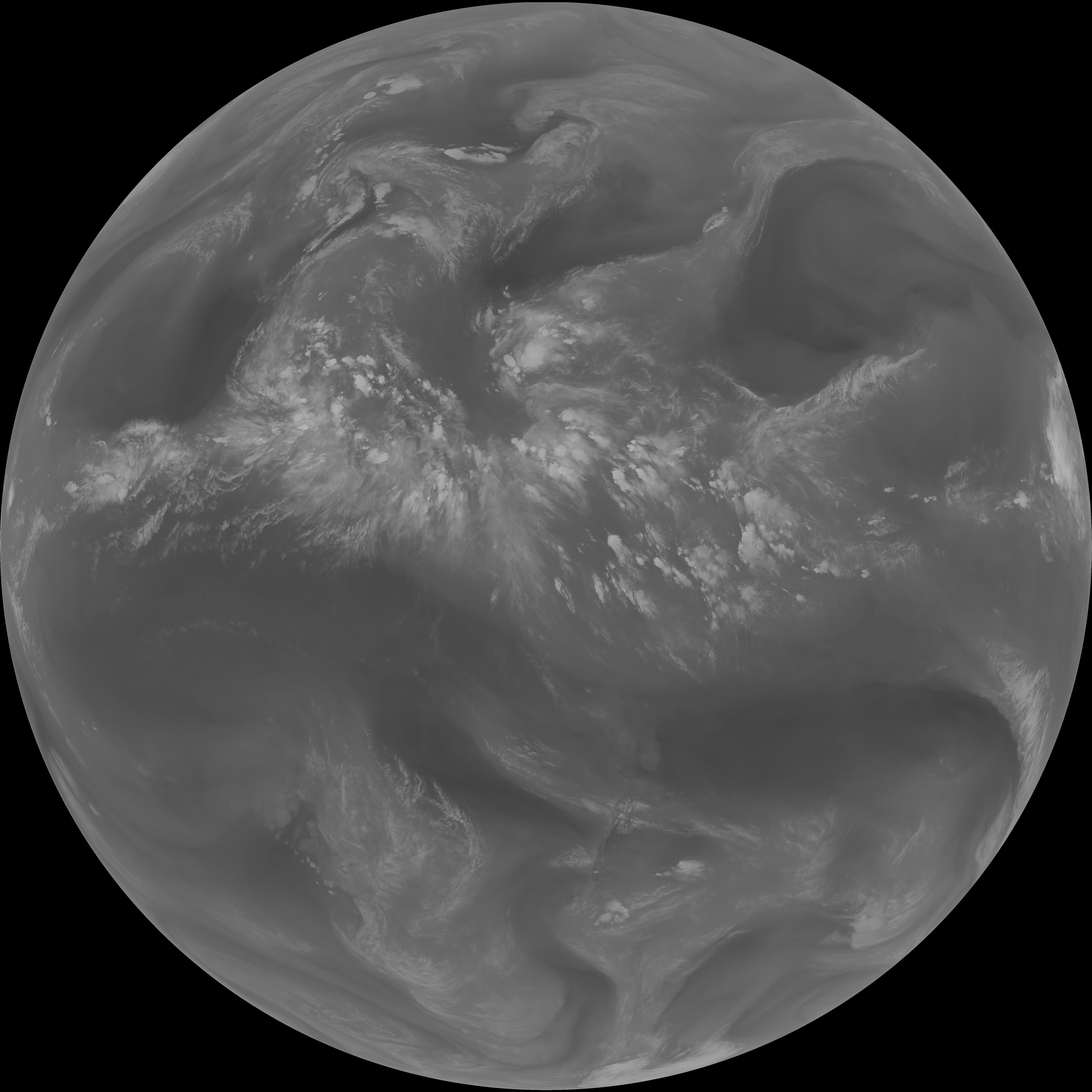
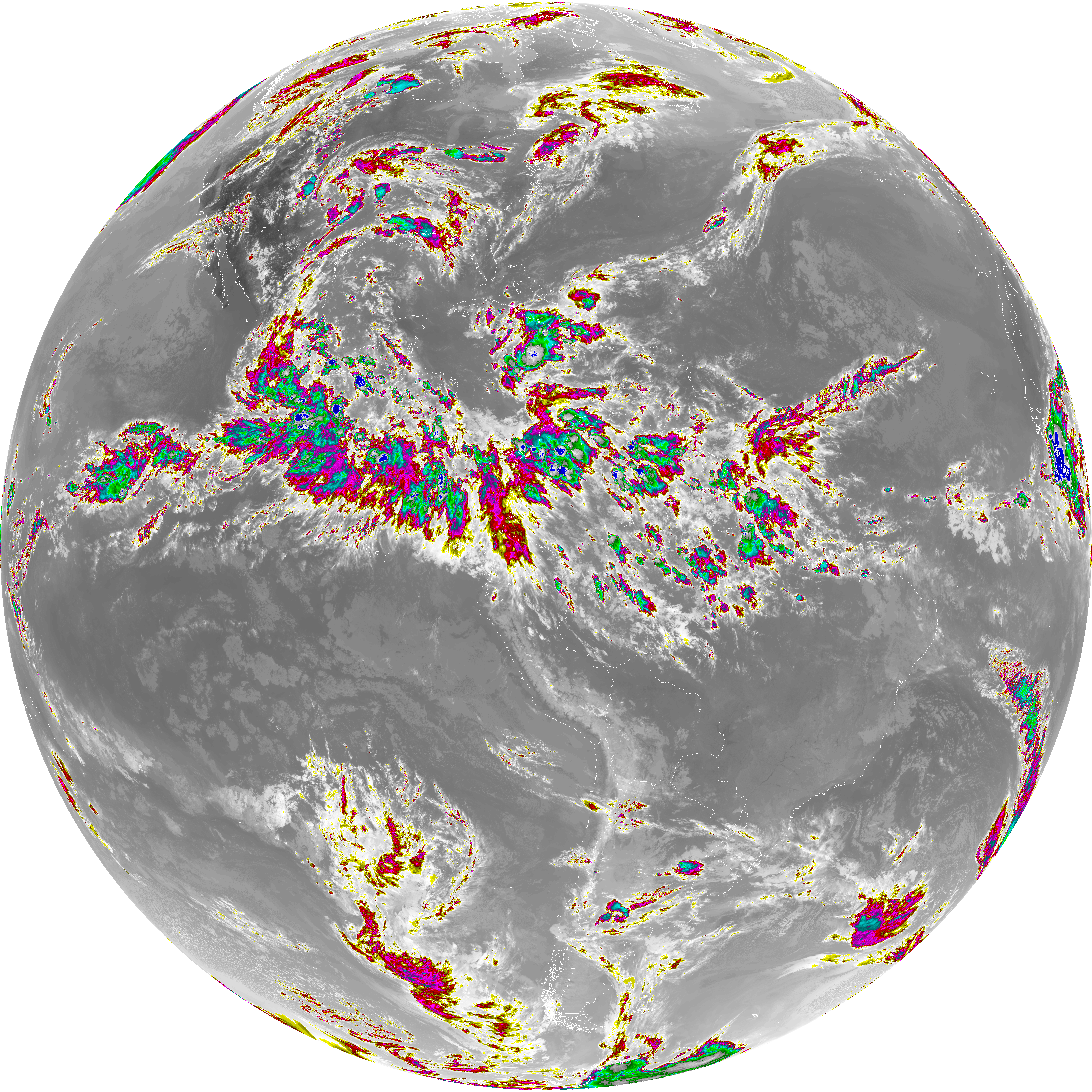
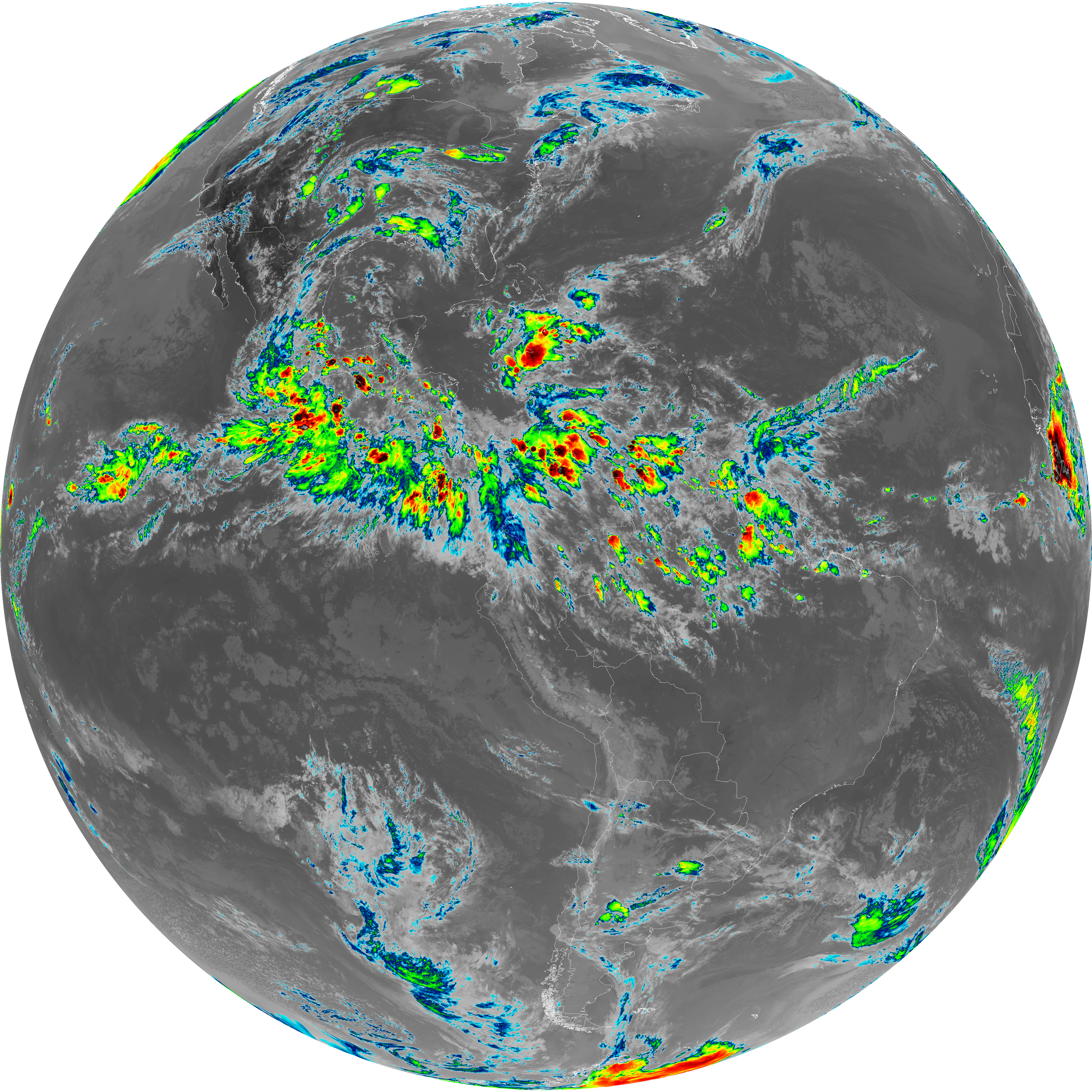
| G19_14_20260606T233021Z.png | 10699087 | 2026-Jun-06 23:55 |
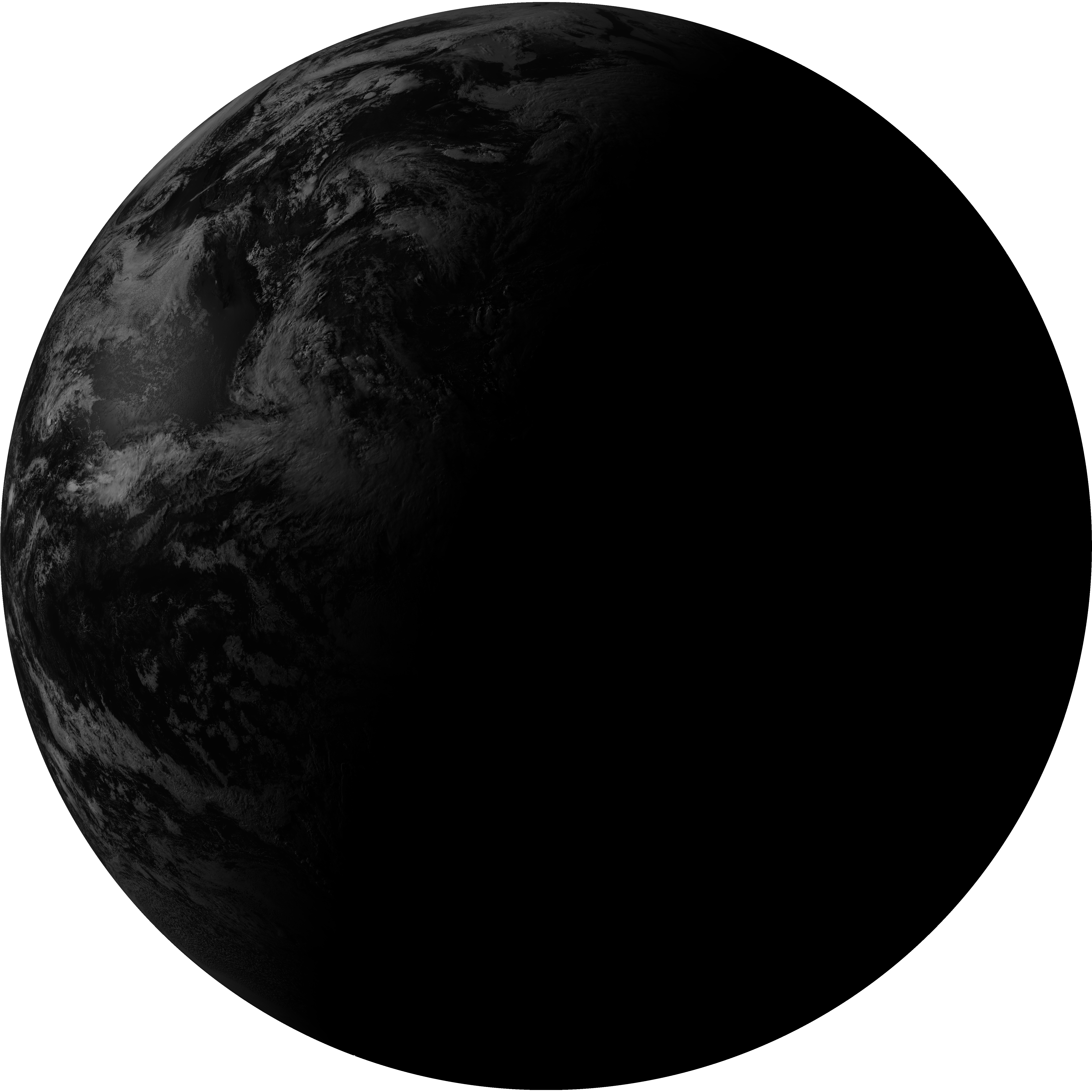
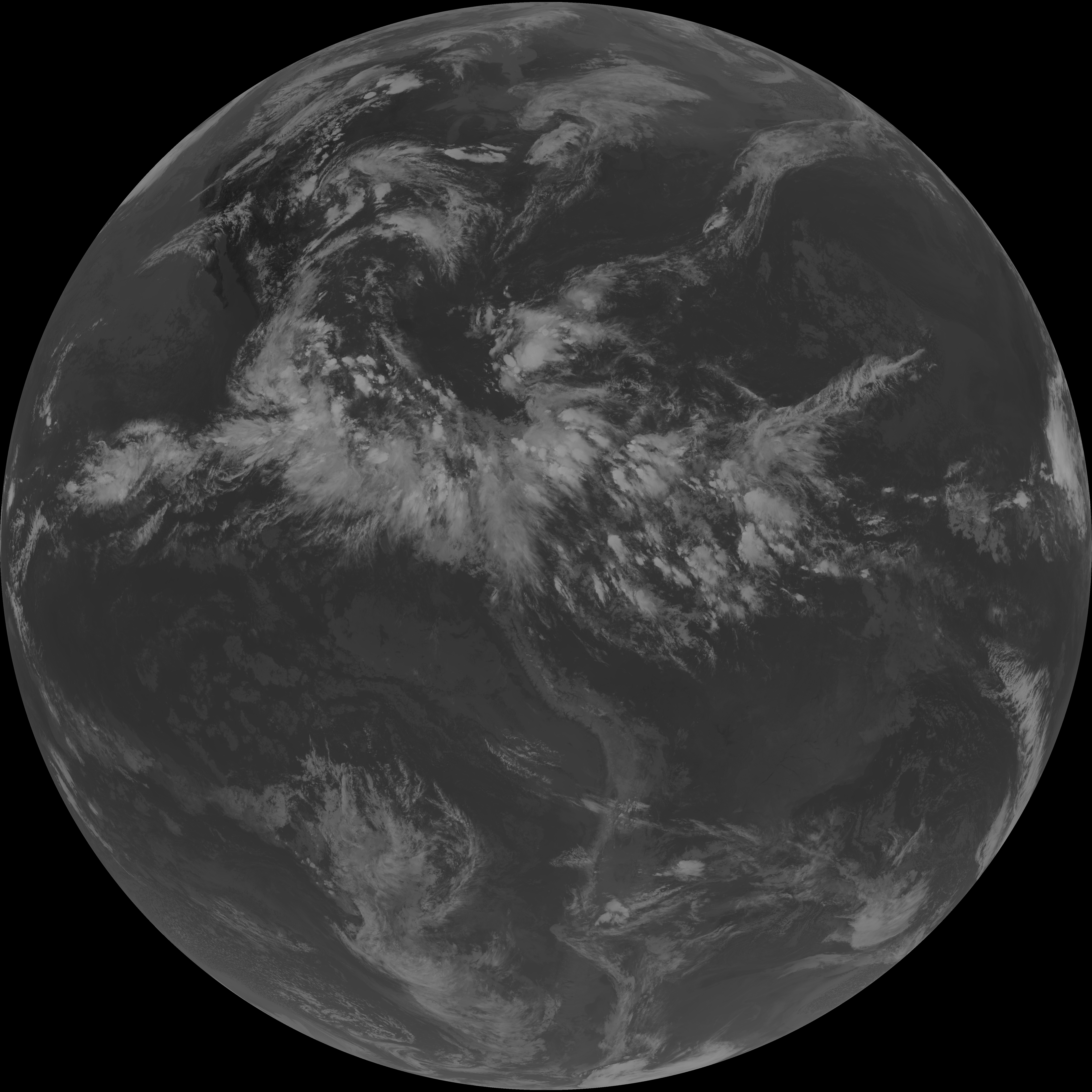
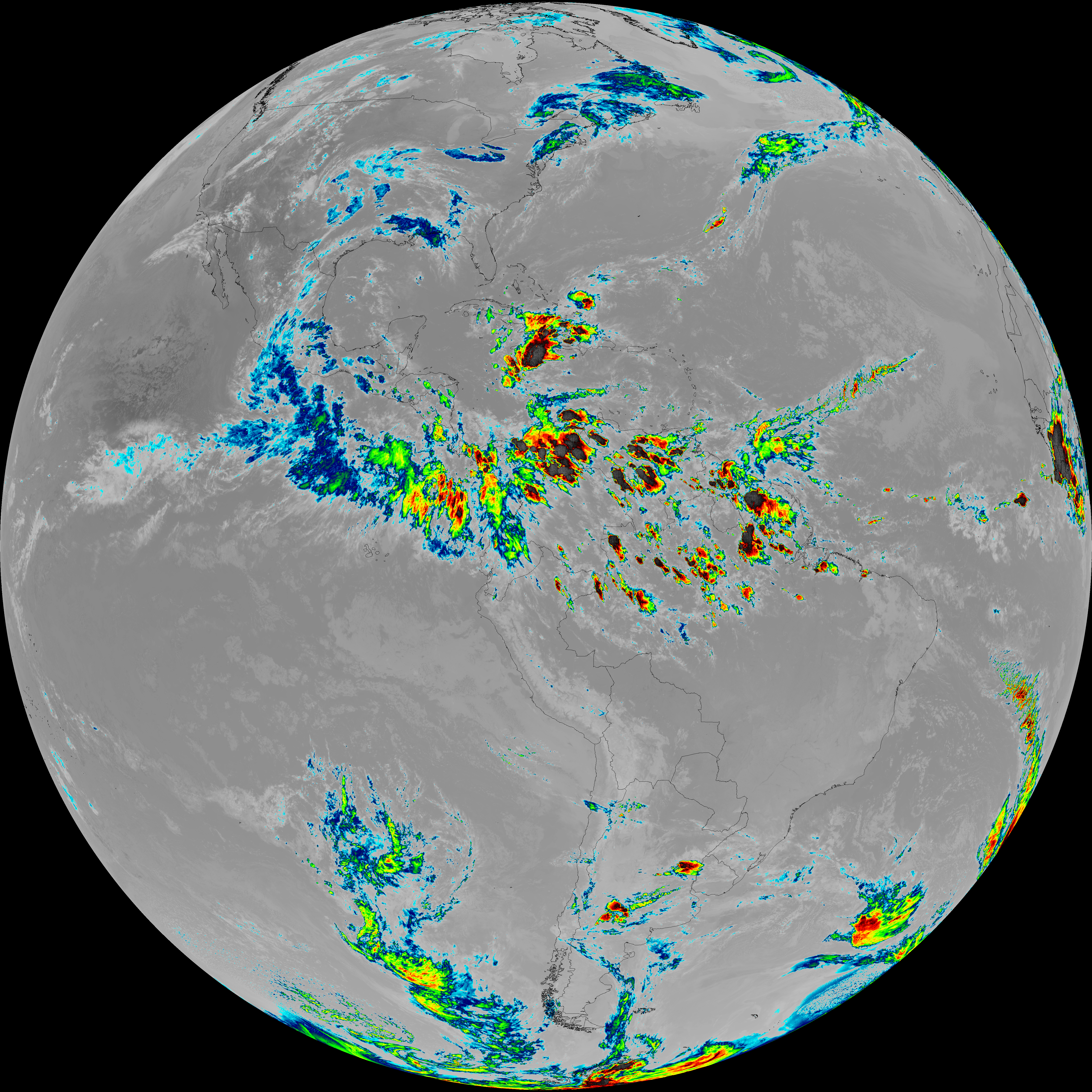
| G19_7_20260606T233021Z.png | 11046757 | 2026-Jun-06 23:43 |
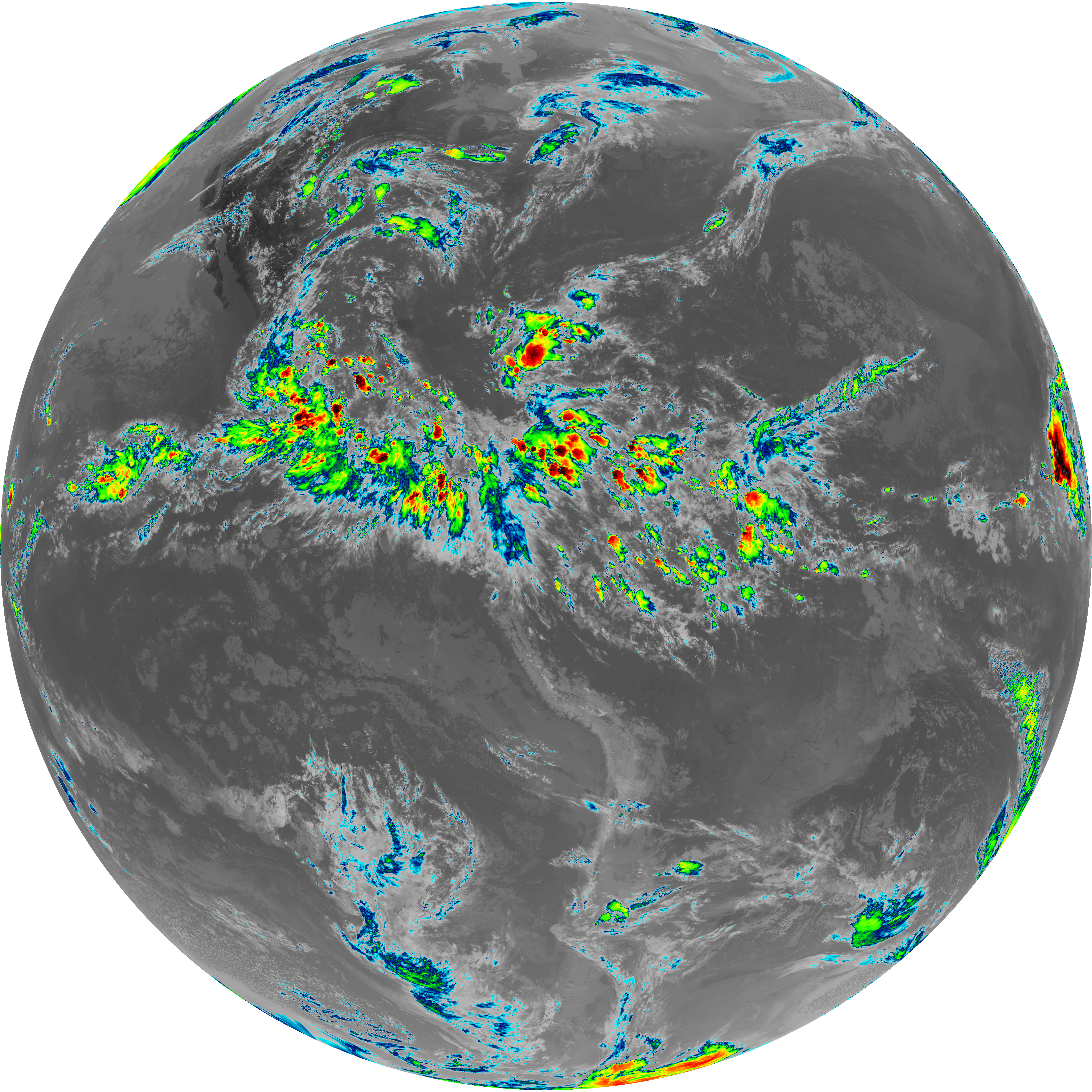
| abi_rgb_Dirty_Longwave_Window_-_CIRA.png | 12419051 | 2026-Jun-06 23:58 |
| abi_rgb_Dirty_Longwave_Window_-_CIRA_map.png | 12475446 | 2026-Jun-06 23:58 |
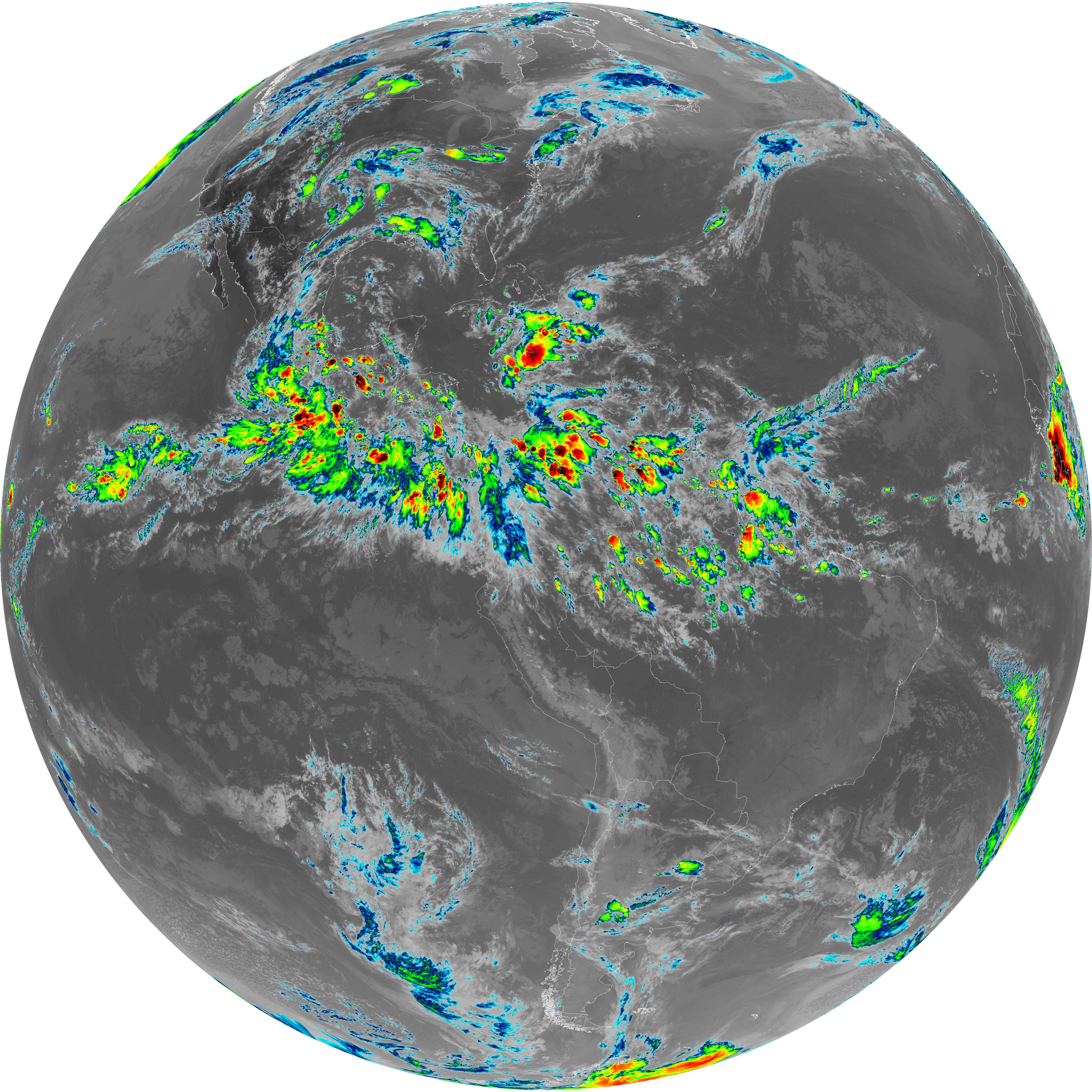
| abi_rgb_Dirty_Longwave_Window.png | 14054008 | 2026-Jun-06 23:58 |
| abi_rgb_Dirty_Longwave_Window_map.png | 14097274 | 2026-Jun-06 23:58 |
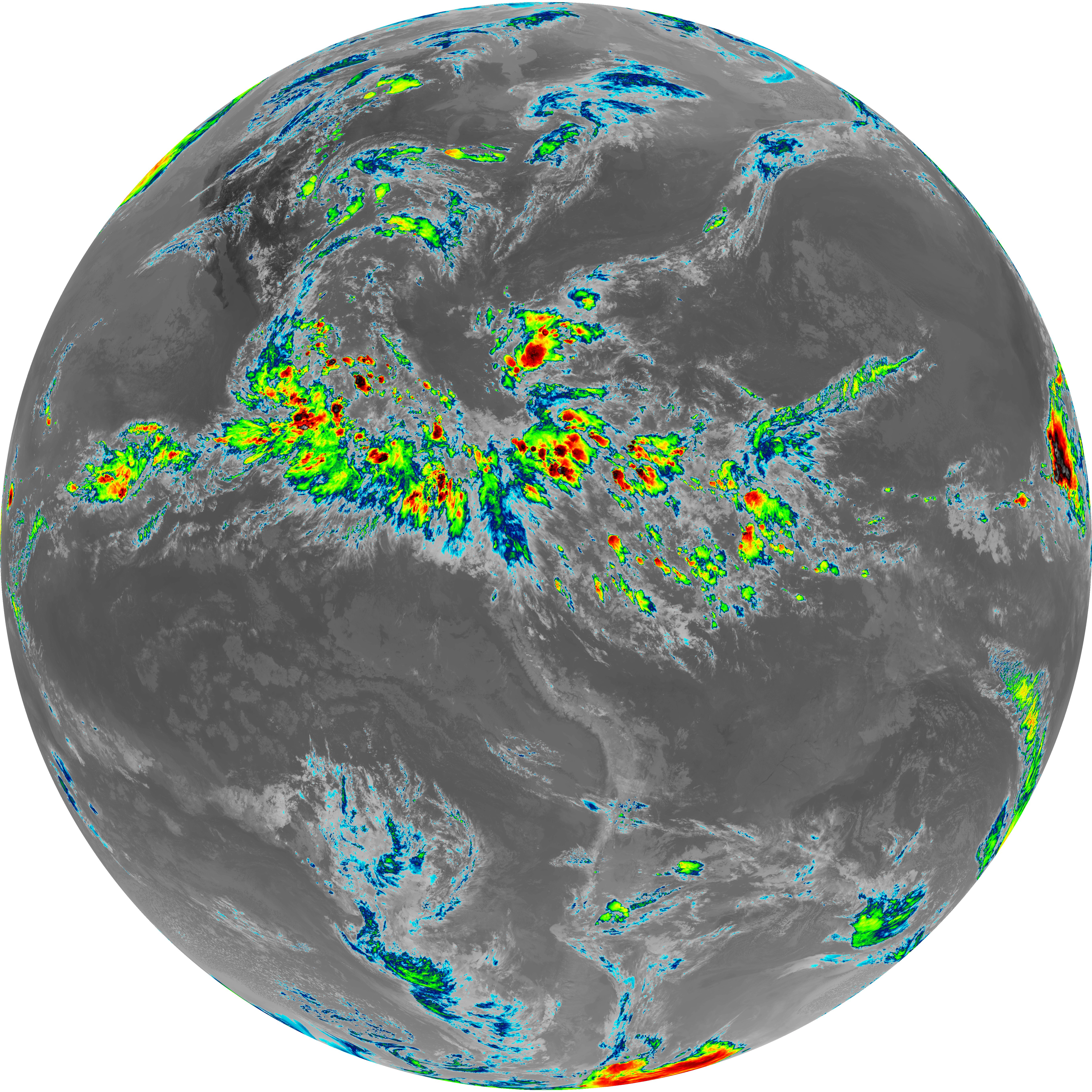
| abi_rgb_Clean_Longwave_IR_Window_Band.png | 14185645 | 2026-Jun-06 23:46 |
| abi_rgb_Clean_Longwave_IR_Window_Band_map.png | 14227110 | 2026-Jun-06 23:46 |
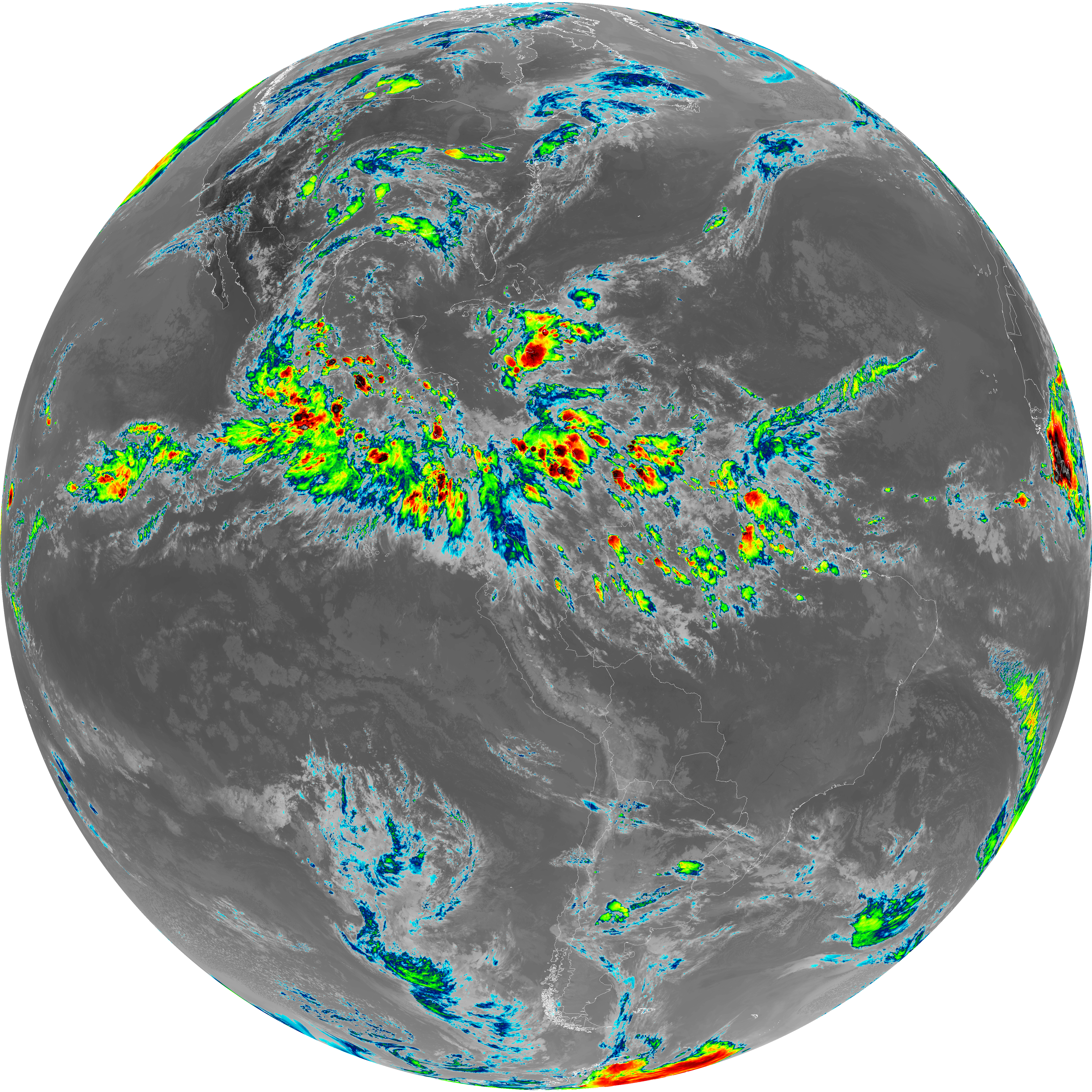
| abi_rgb_Infrared_Longwave_Window_Band.png | 14361921 | 2026-Jun-06 23:55 |
| abi_rgb_Infrared_Longwave_Window_Band_map.png | 14401788 | 2026-Jun-06 23:55 |
| abi_rgb_Shortwave_Window_Band.png | 15007076 | 2026-Jun-06 23:43 |
| abi_rgb_Shortwave_Window_Band_map.png | 15062839 | 2026-Jun-06 23:43 |