| Parent directory/ | - | - |
| abi_rgb_Shortwave_Window_Band_map.png | 15488552 | 2026-Jun-07 02:14 |
| abi_rgb_Shortwave_Window_Band.png | 15432961 | 2026-Jun-07 02:14 |
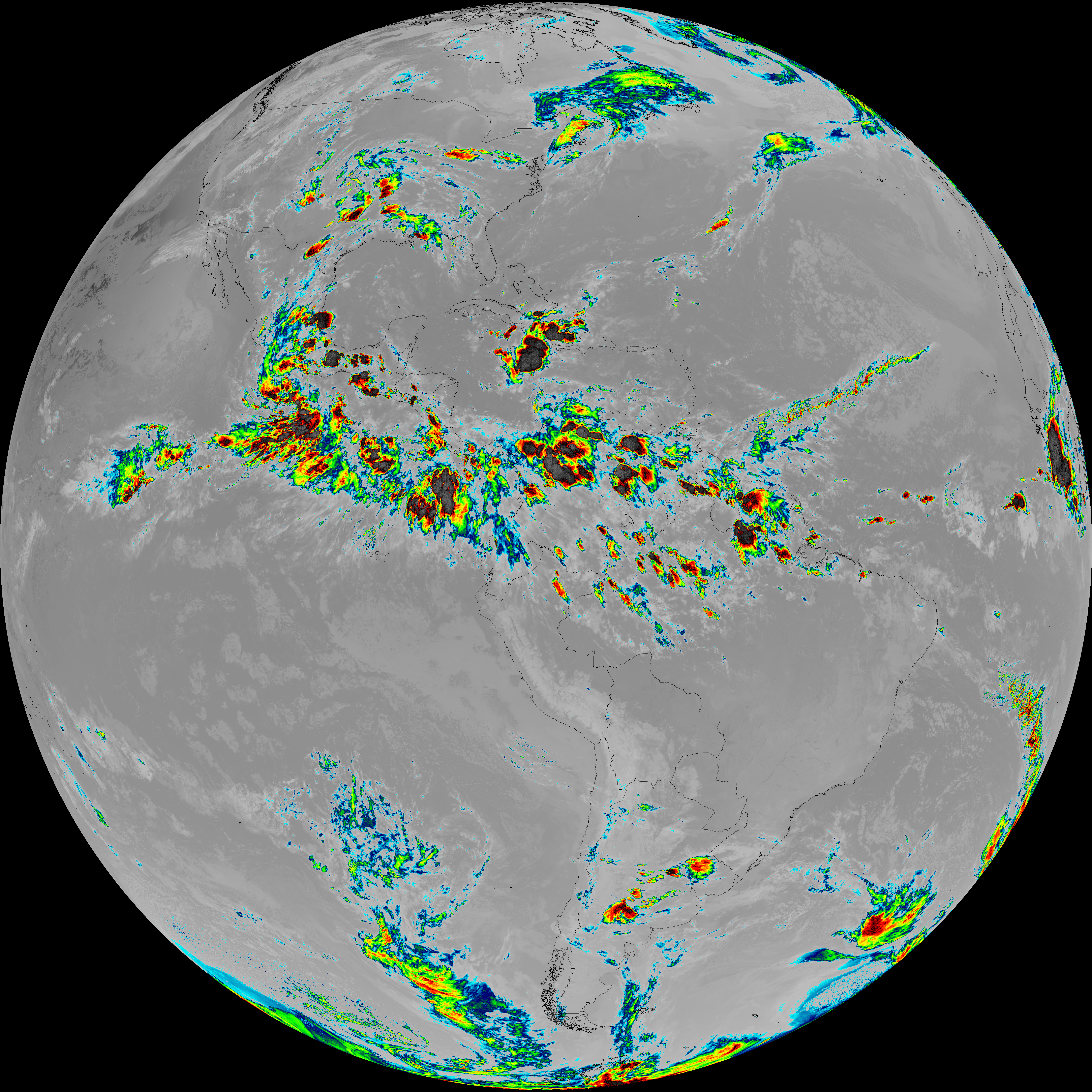
| abi_rgb_Infrared_Longwave_Window_Band_map.png | 14200171 | 2026-Jun-07 02:25 |
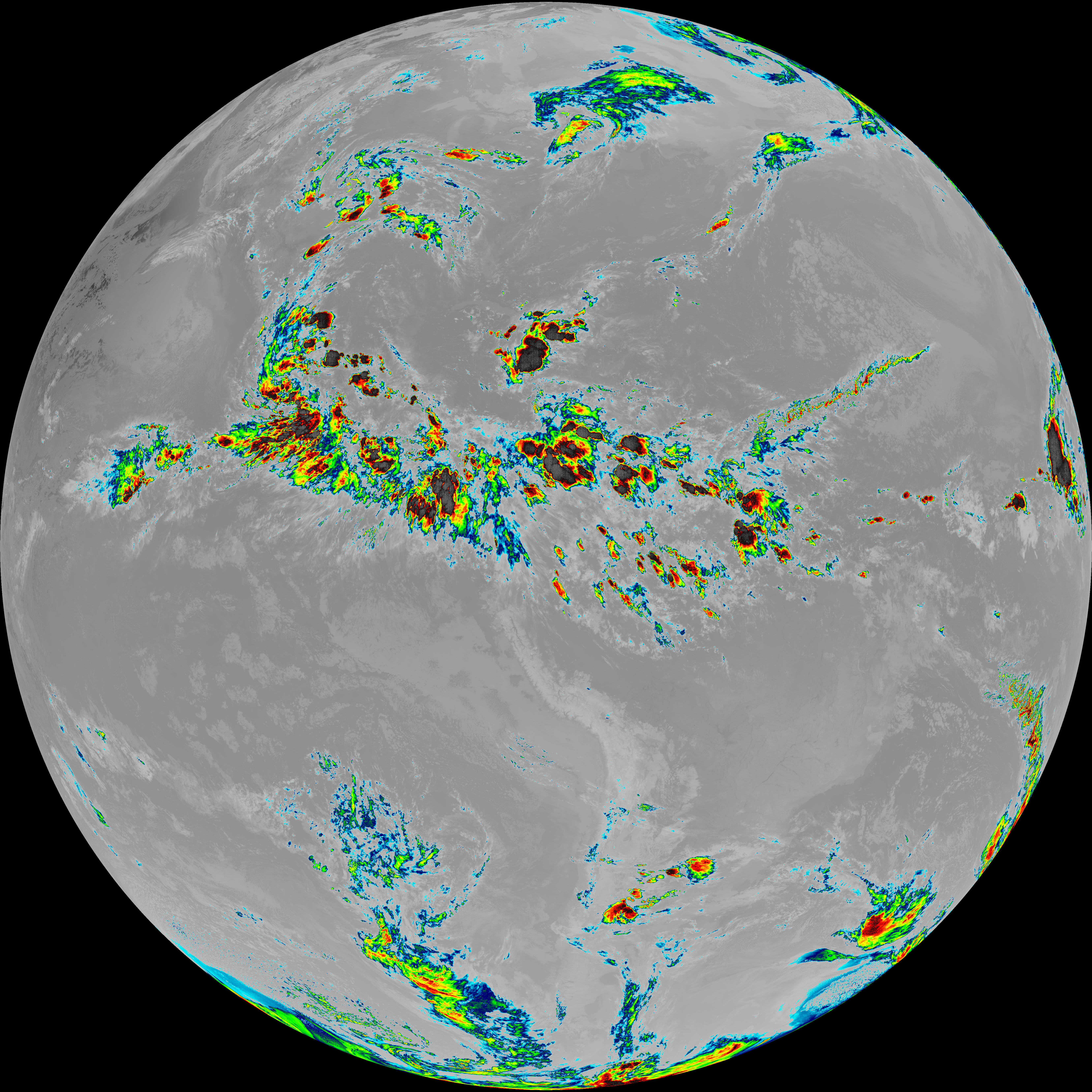
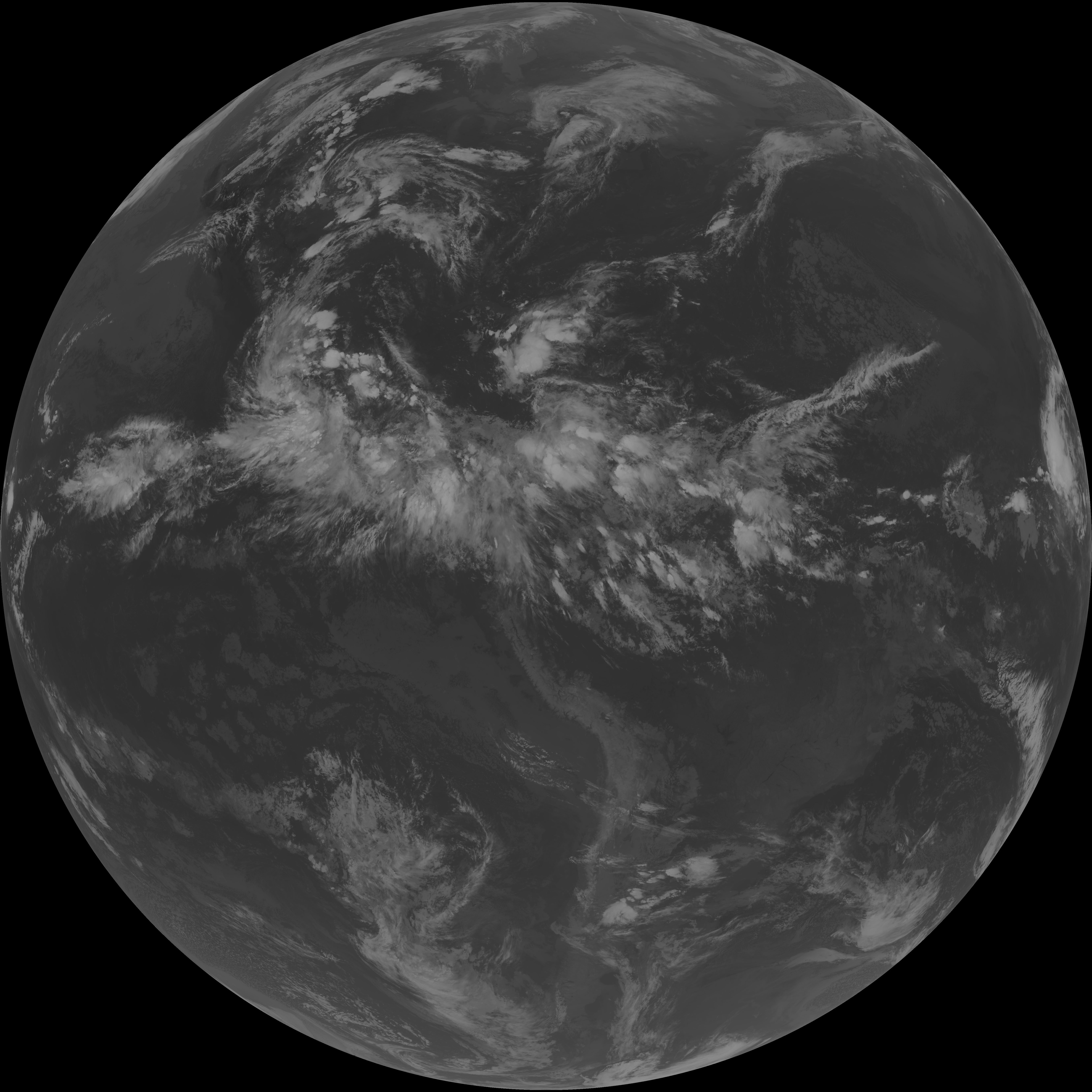
| abi_rgb_Infrared_Longwave_Window_Band.png | 14155489 | 2026-Jun-07 02:25 |
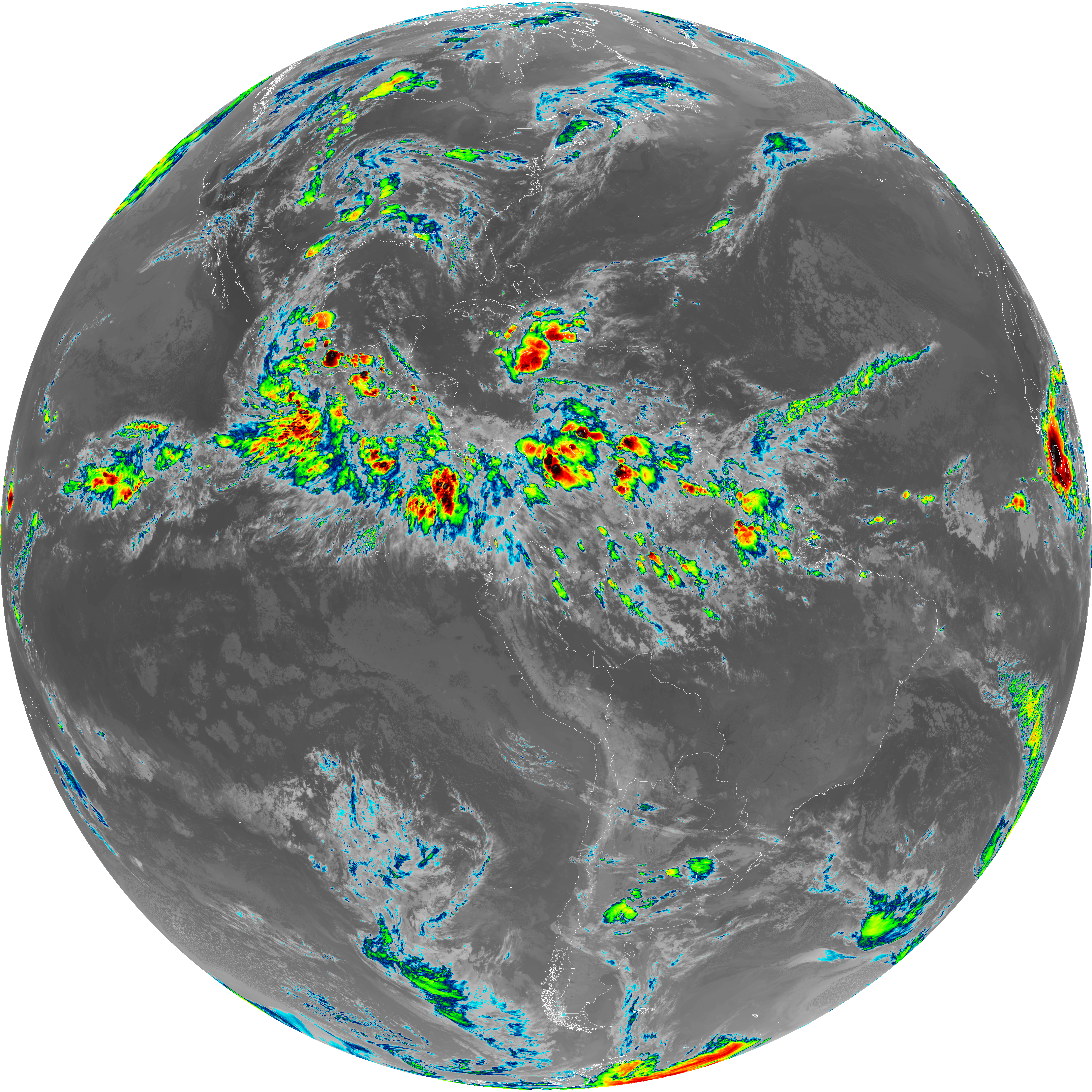
| abi_rgb_Clean_Longwave_IR_Window_Band_map.png | 14025759 | 2026-Jun-07 02:17 |
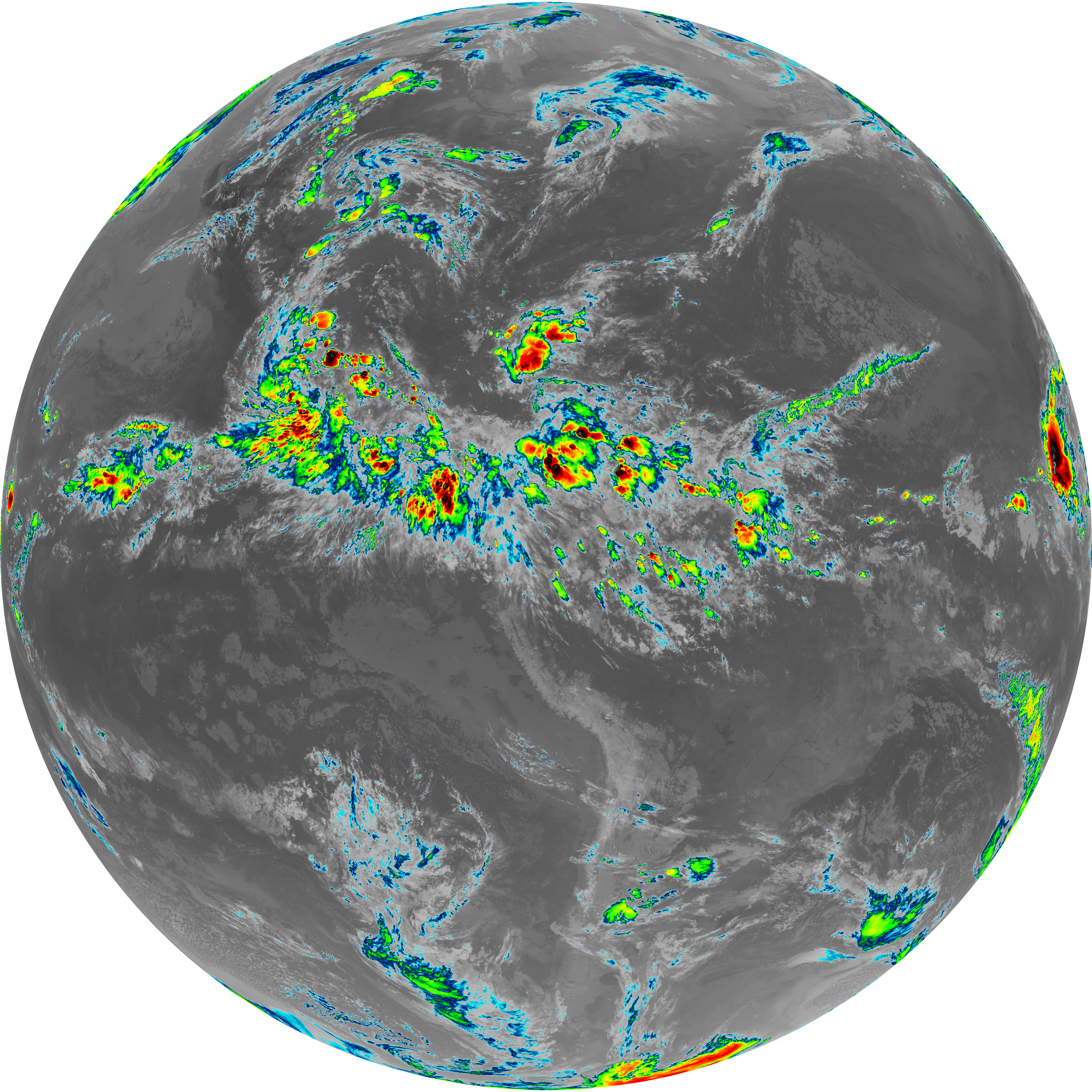
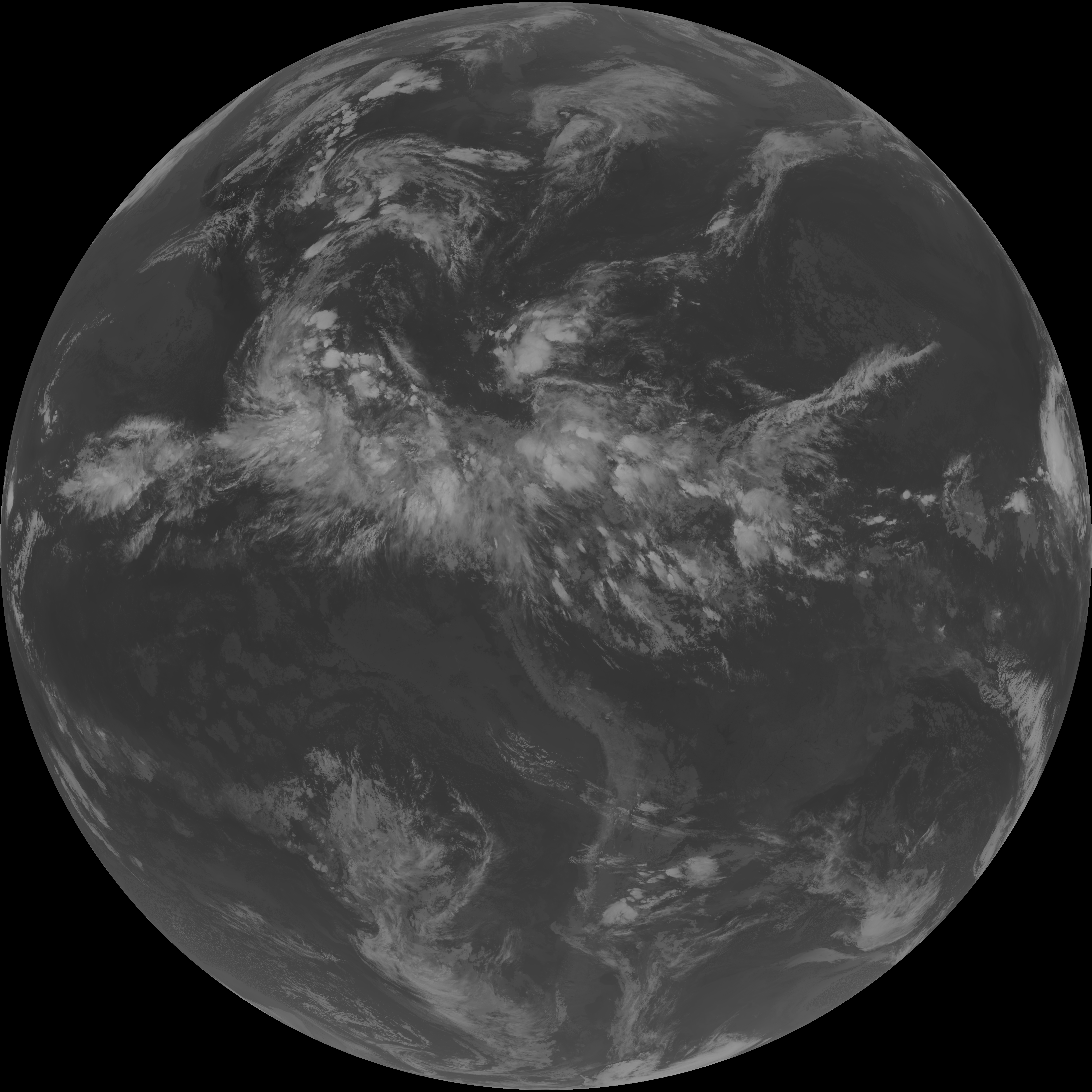
| abi_rgb_Clean_Longwave_IR_Window_Band.png | 13980009 | 2026-Jun-07 02:17 |
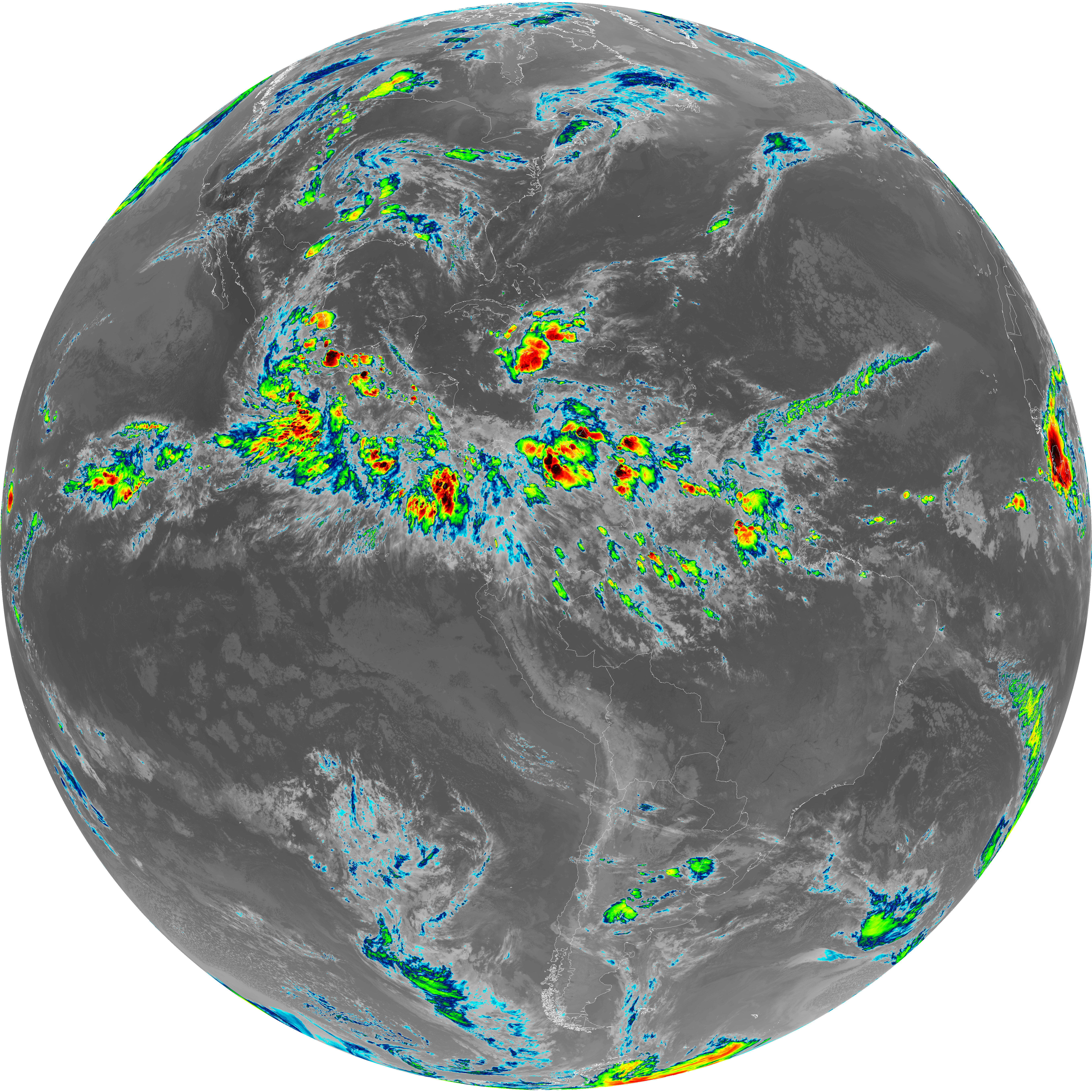
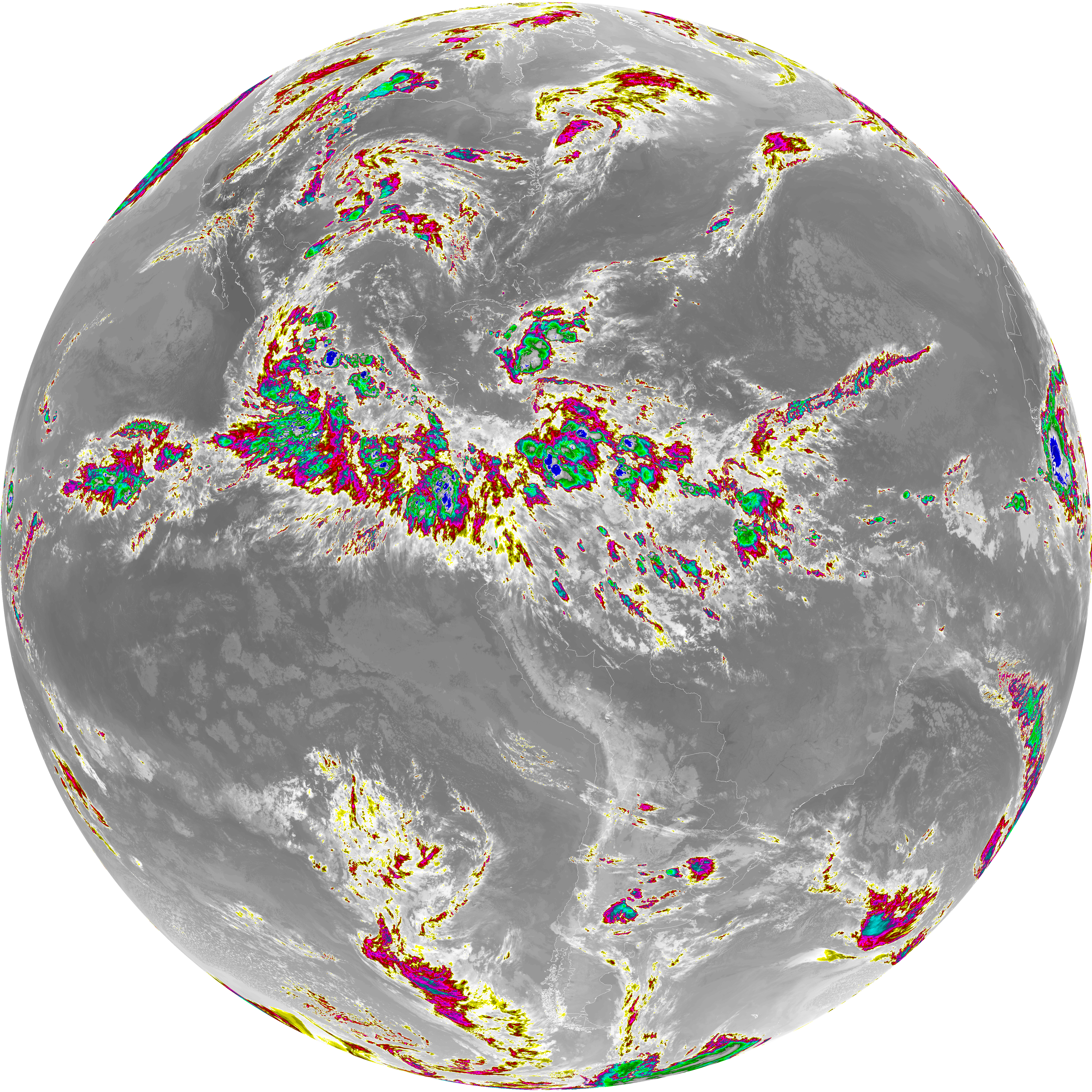
| abi_rgb_Dirty_Longwave_Window_map.png | 13890114 | 2026-Jun-07 02:27 |
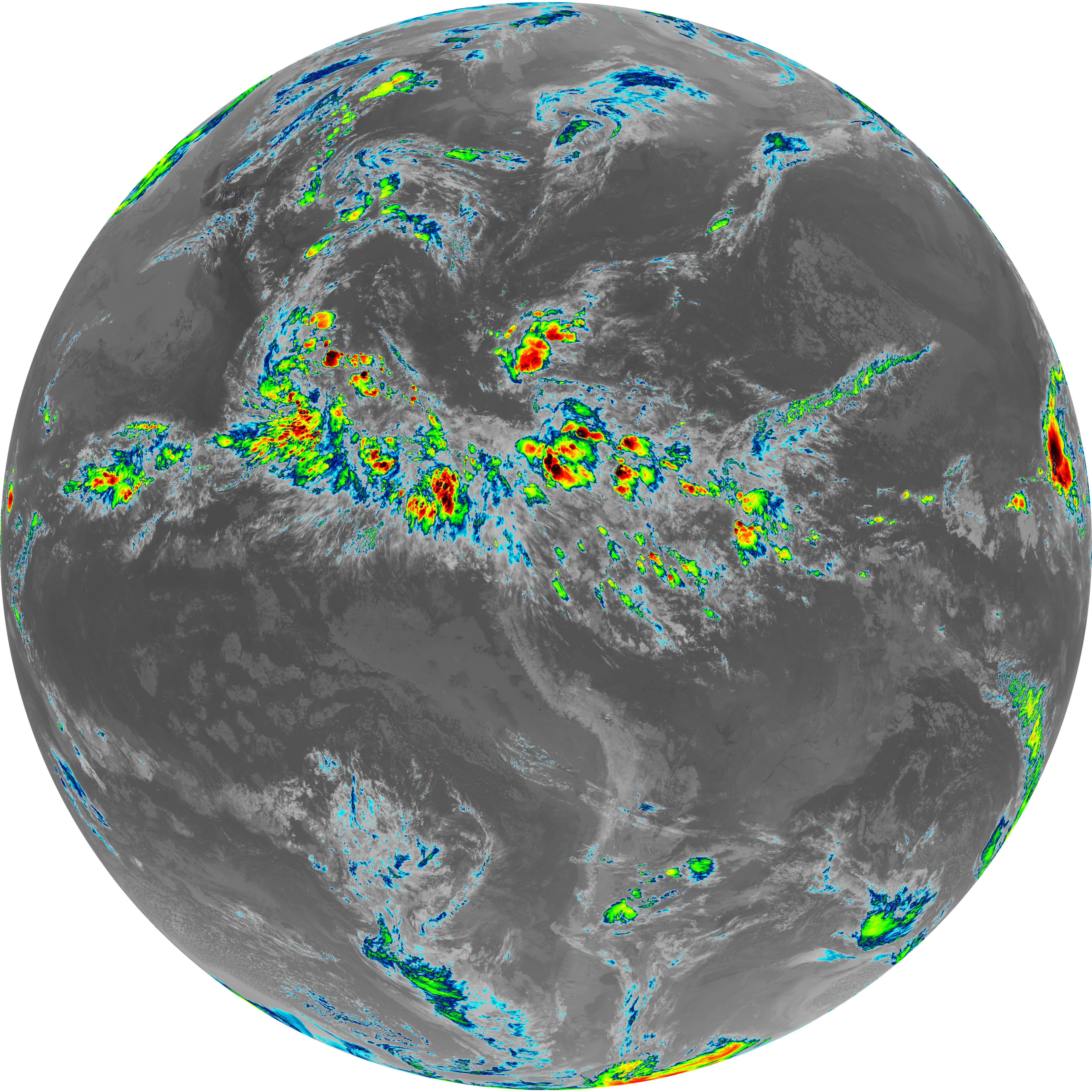
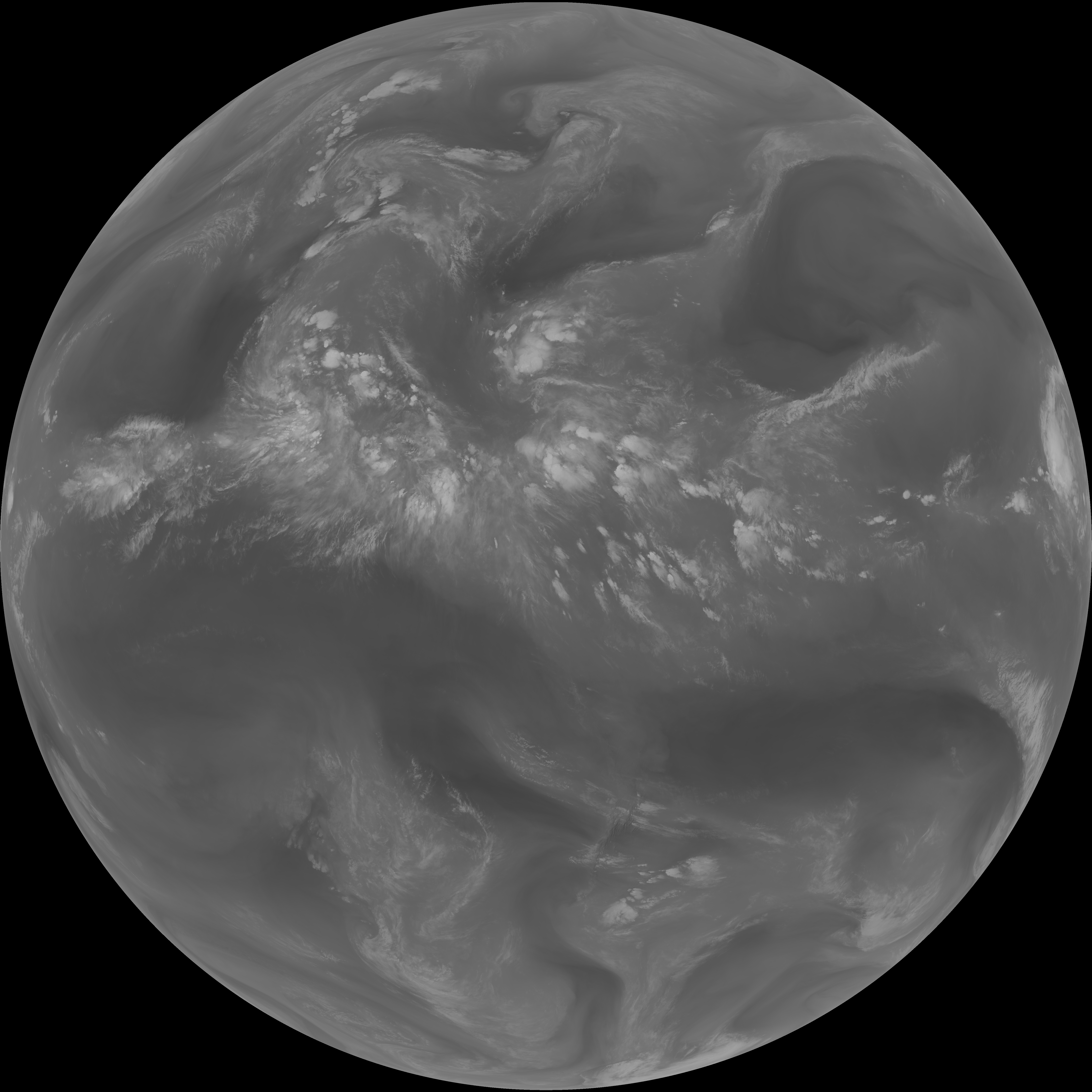
| abi_rgb_Dirty_Longwave_Window.png | 13843298 | 2026-Jun-07 02:27 |
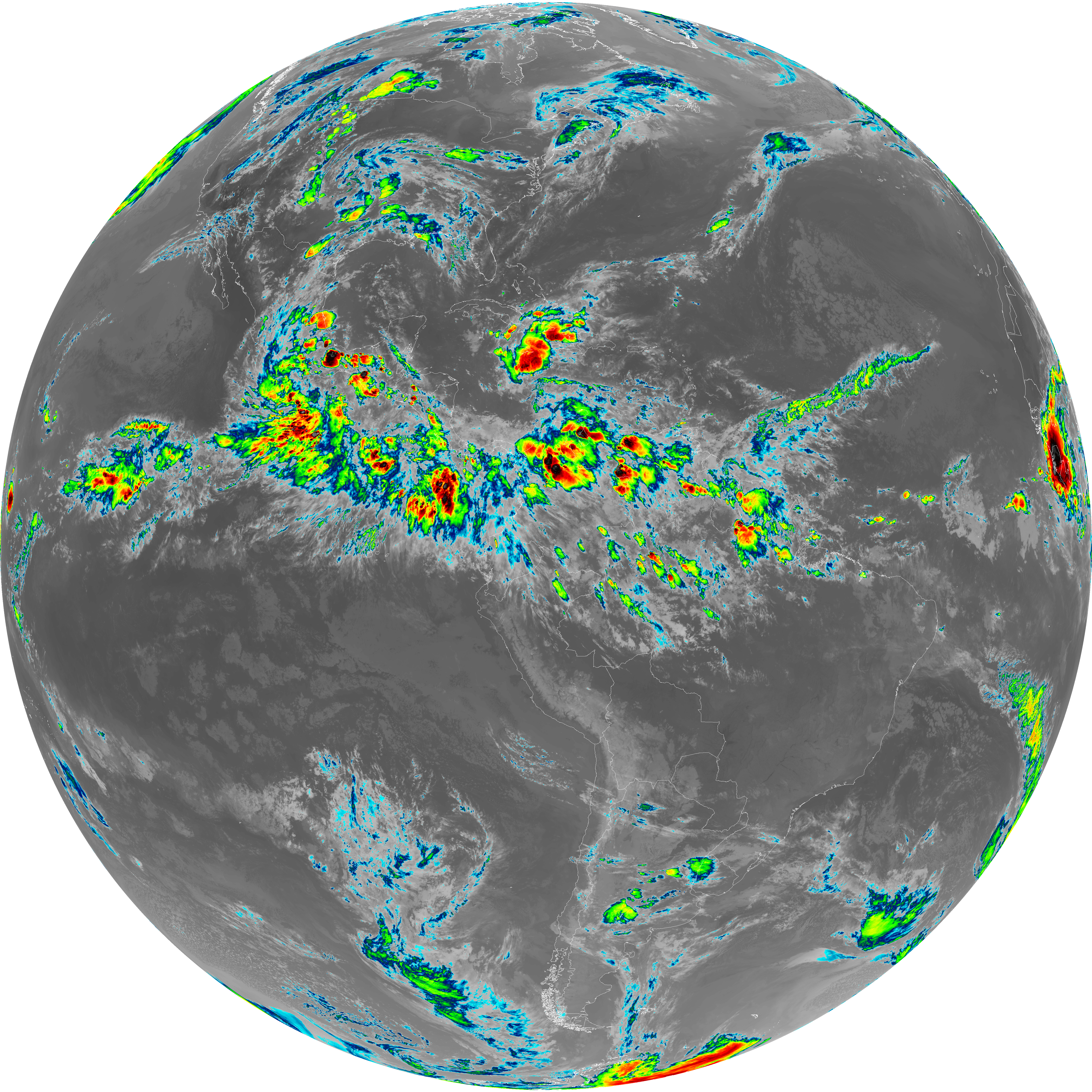
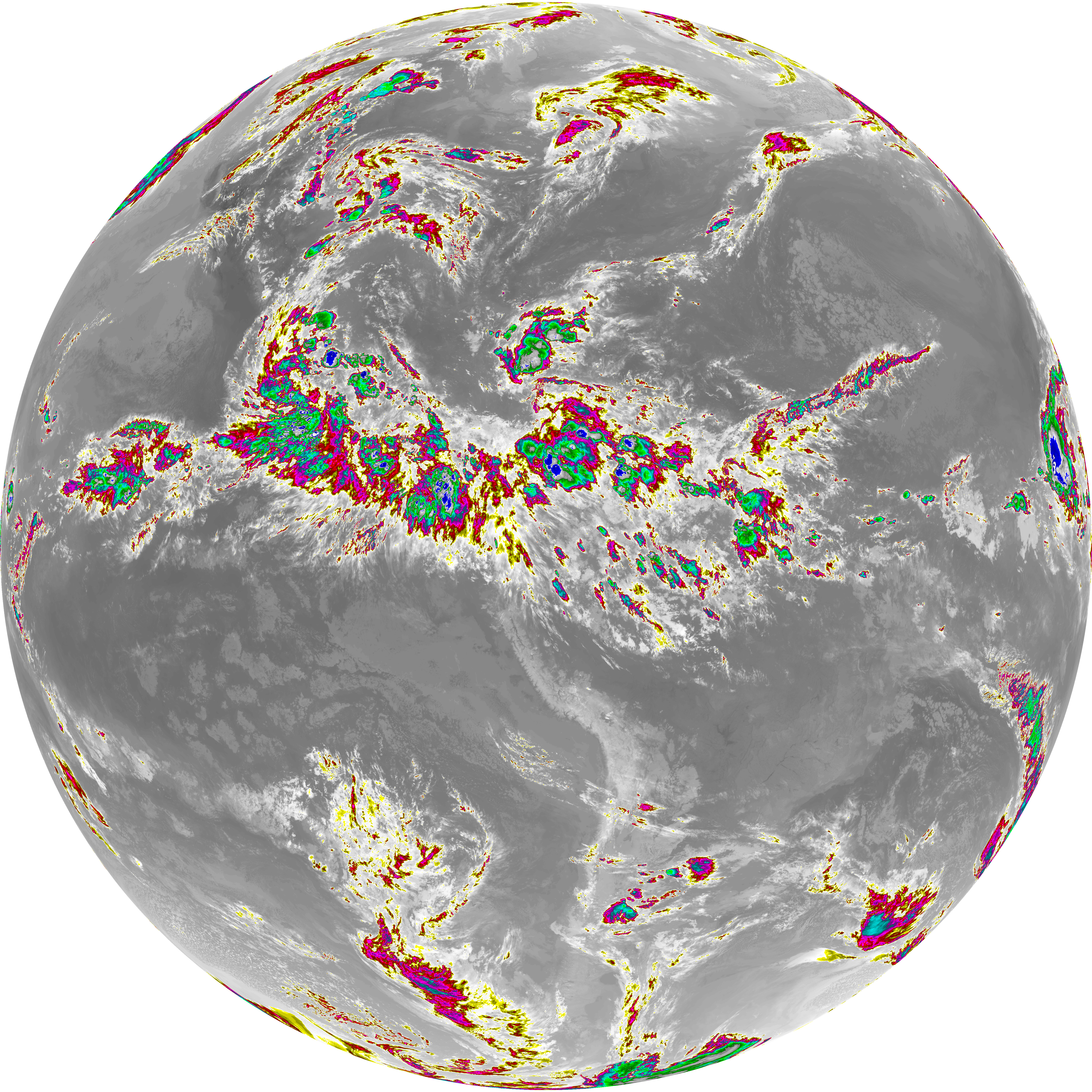
| abi_rgb_Dirty_Longwave_Window_-_CIRA_map.png | 12264945 | 2026-Jun-07 02:28 |
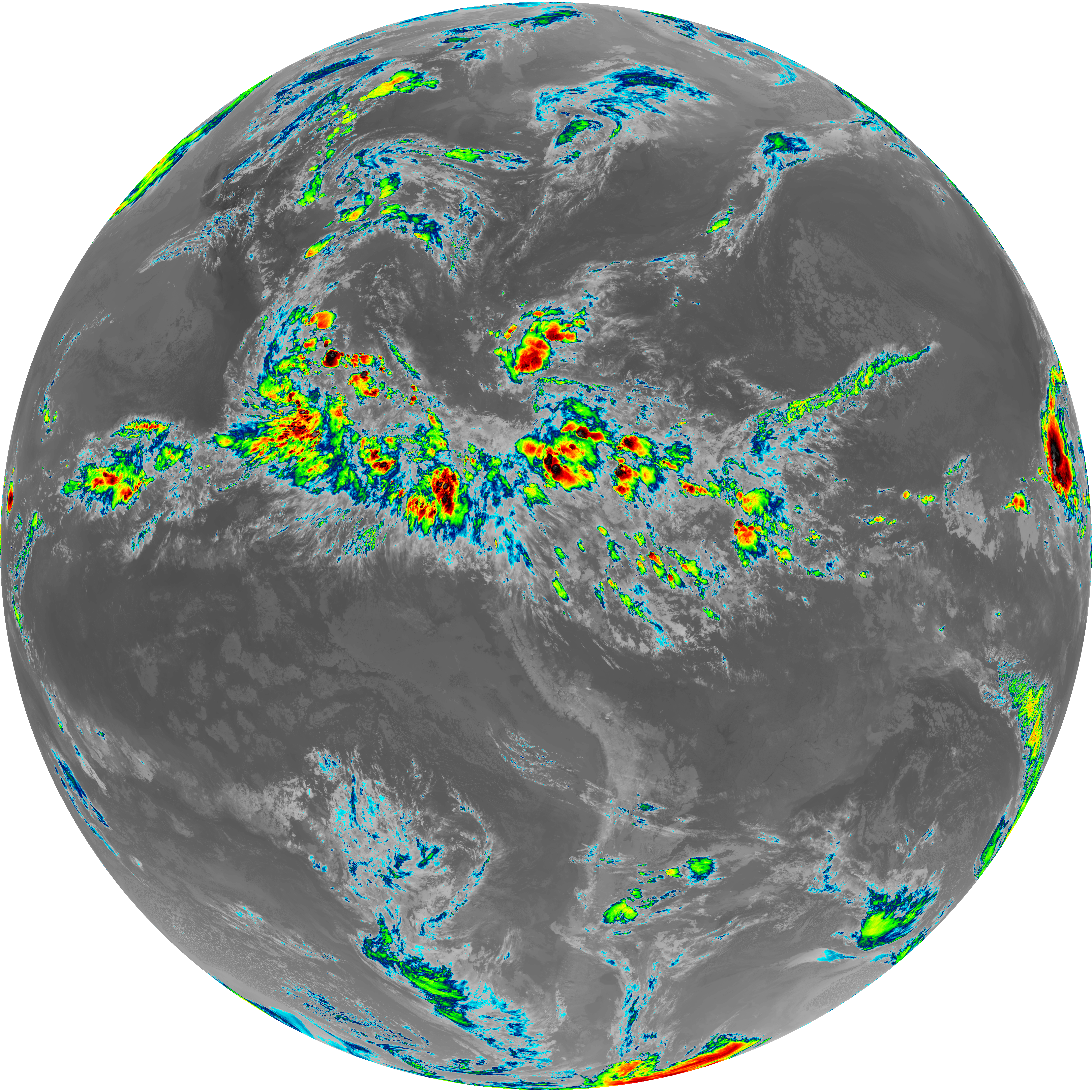
| abi_rgb_Dirty_Longwave_Window_-_CIRA.png | 12205114 | 2026-Jun-07 02:28 |
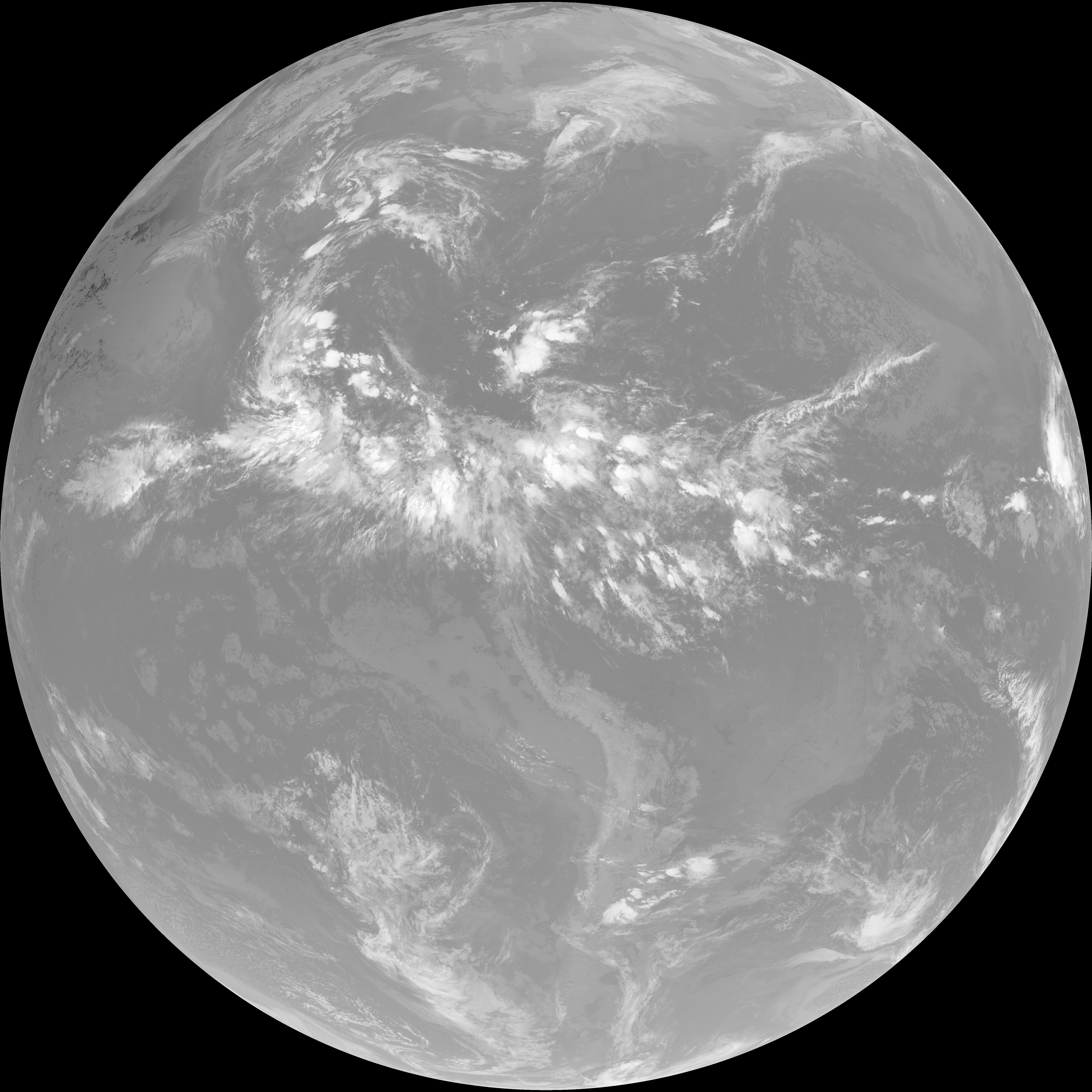
| G19_7_20260607T020021Z.png | 11297220 | 2026-Jun-07 02:13 |
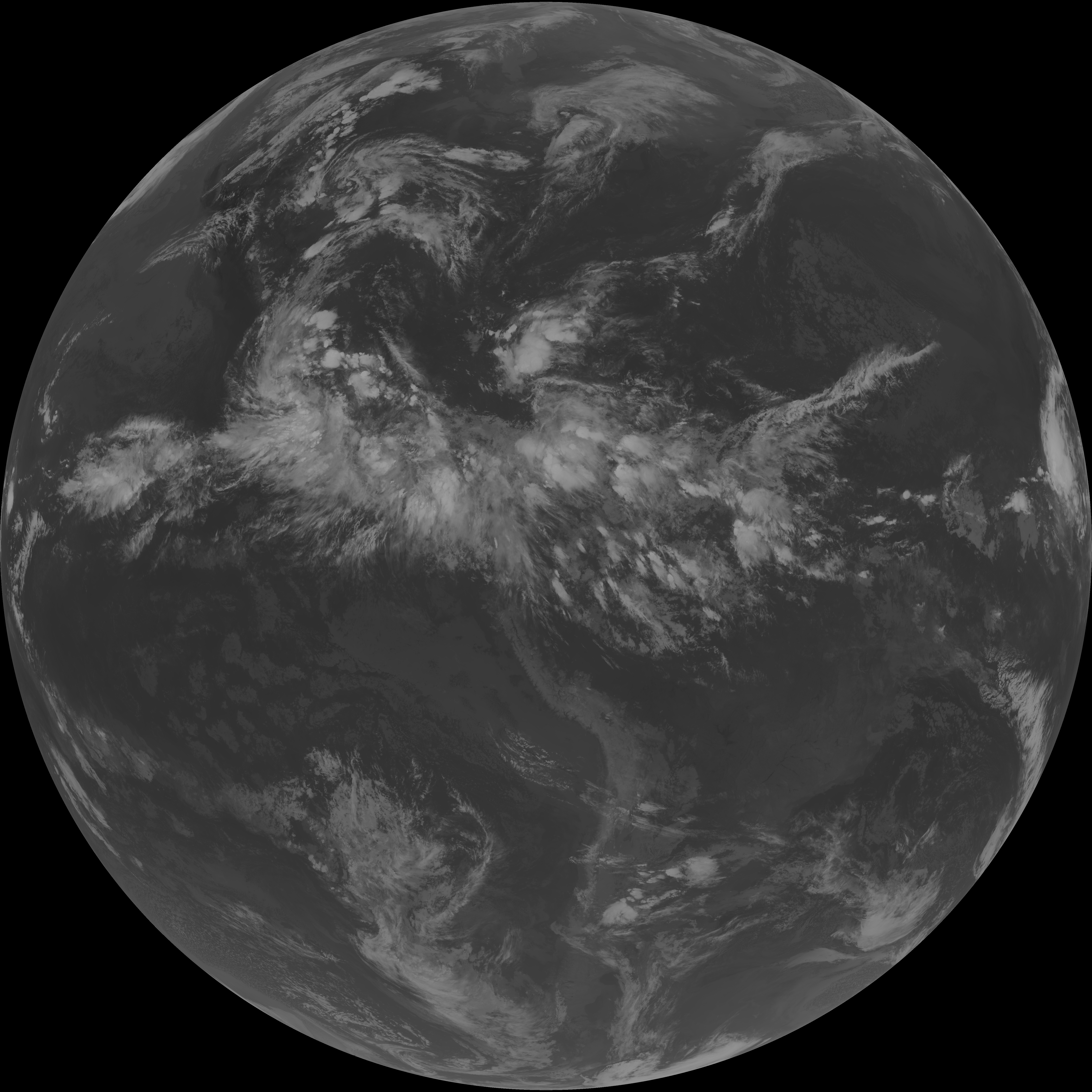
| G19_14_20260607T020021Z.png | 10542810 | 2026-Jun-07 02:24 |
| G19_13_20260607T020021Z.png | 10389551 | 2026-Jun-07 02:16 |
| G19_15_20260607T020021Z.png | 10284881 | 2026-Jun-07 02:27 |
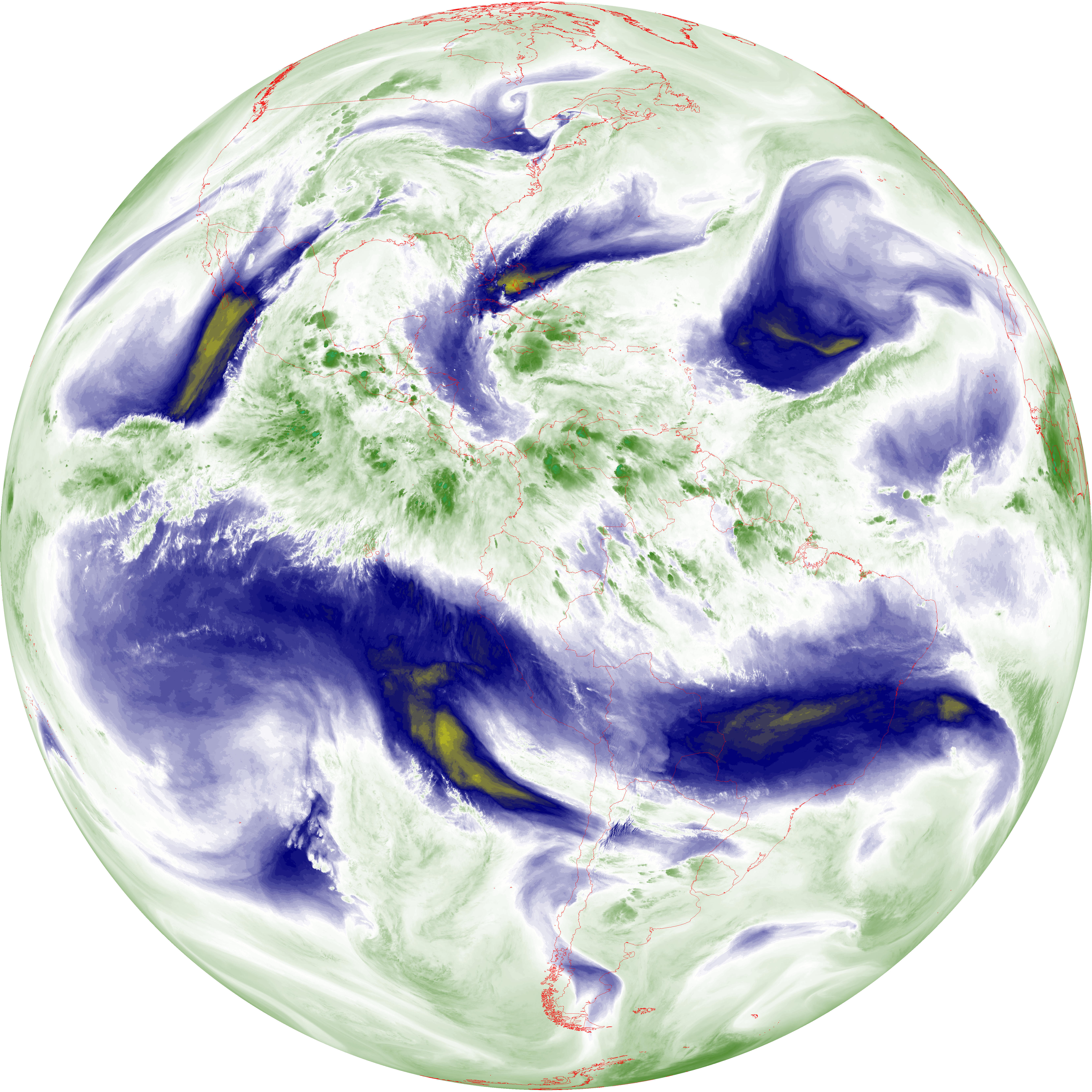
| abi_rgb_Mid-level_Tropospheric_Water_Vapor_map.png | 9077553 | 2026-Jun-07 02:21 |
| abi_rgb_Mid-level_Tropospheric_Water_Vapor.png | 8980320 | 2026-Jun-07 02:21 |
| abi_rgb_Upper-Level_Tropospheric_Water_Vapor_map.png | 7793135 | 2026-Jun-07 02:19 |
| abi_rgb_Upper-Level_Tropospheric_Water_Vapor.png | 7683345 | 2026-Jun-07 02:19 |
| G19_9_20260607T020021Z.png | 6697493 | 2026-Jun-07 02:21 |
| G19_8_20260607T020021Z.png | 5747420 | 2026-Jun-07 02:19 |
| G19_2_20260607T020021Z.png | 2236456 | 2026-Jun-07 02:17 |