| Parent directory/ | - | - |
| G19_7_20260607T040021Z.png | 11165417 | 2026-Jun-07 04:13 |
| abi_rgb_Shortwave_Window_Band.png | 15397631 | 2026-Jun-07 04:13 |
| abi_rgb_Shortwave_Window_Band_map.png | 15450517 | 2026-Jun-07 04:13 |
| G19_13_20260607T040021Z.png | 10356618 | 2026-Jun-07 04:16 |
| abi_rgb_Clean_Longwave_IR_Window_Band.png | 13922106 | 2026-Jun-07 04:16 |
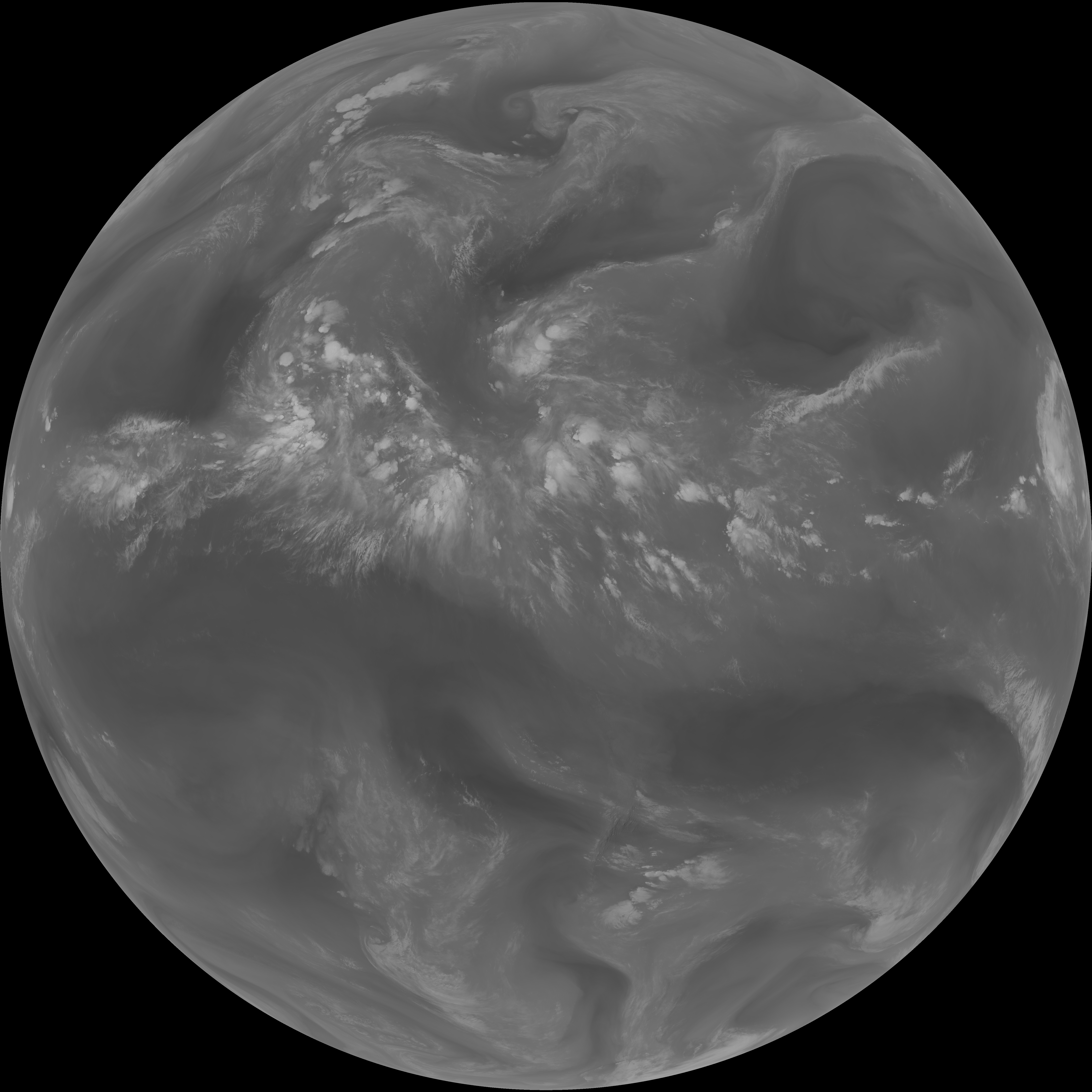
| G19_2_20260607T040021Z.png | 563752 | 2026-Jun-07 04:16 |
| abi_rgb_Clean_Longwave_IR_Window_Band_map.png | 13968470 | 2026-Jun-07 04:16 |
| G19_8_20260607T040021Z.png | 5665108 | 2026-Jun-07 04:18 |
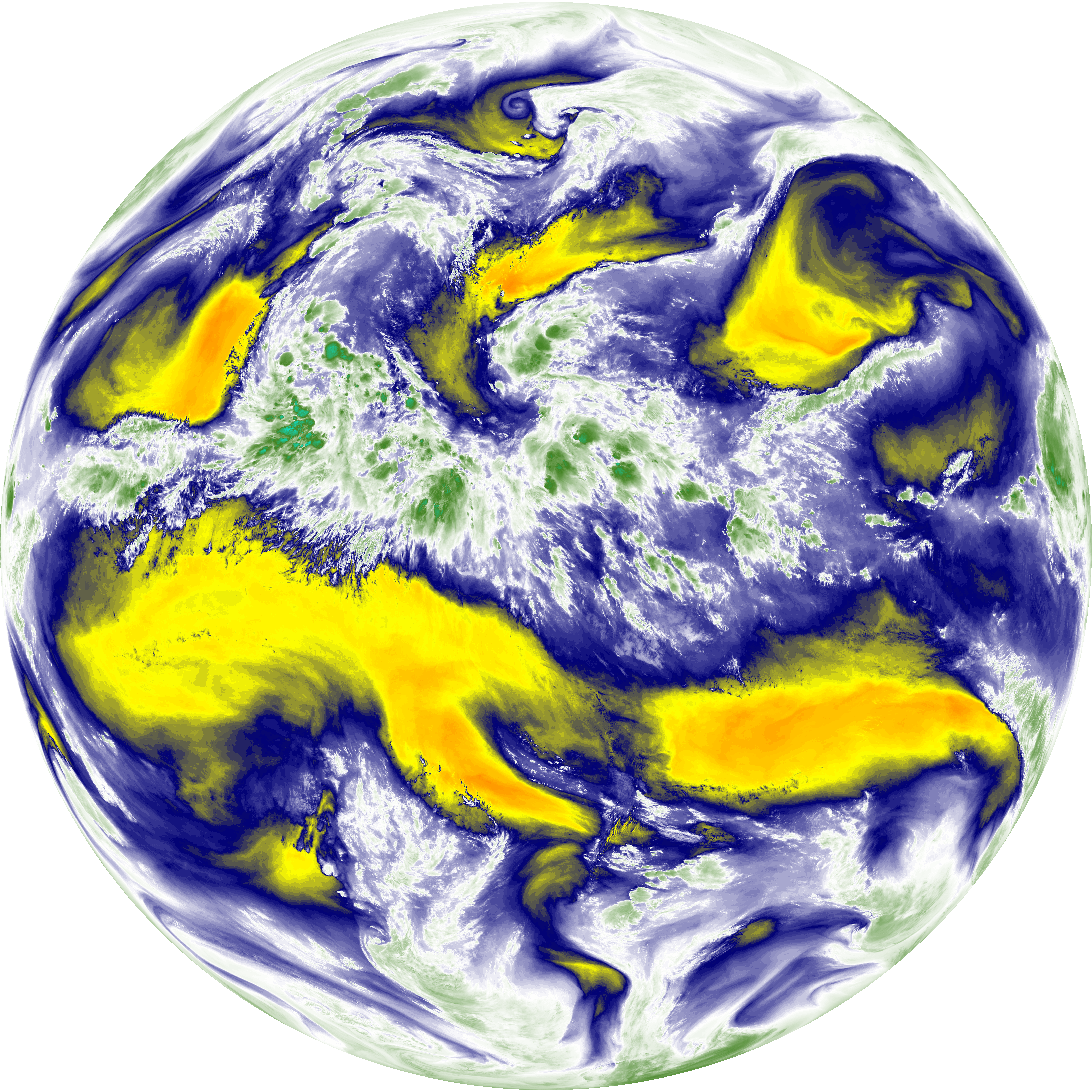
| abi_rgb_Upper-Level_Tropospheric_Water_Vapor.png | 7572122 | 2026-Jun-07 04:18 |
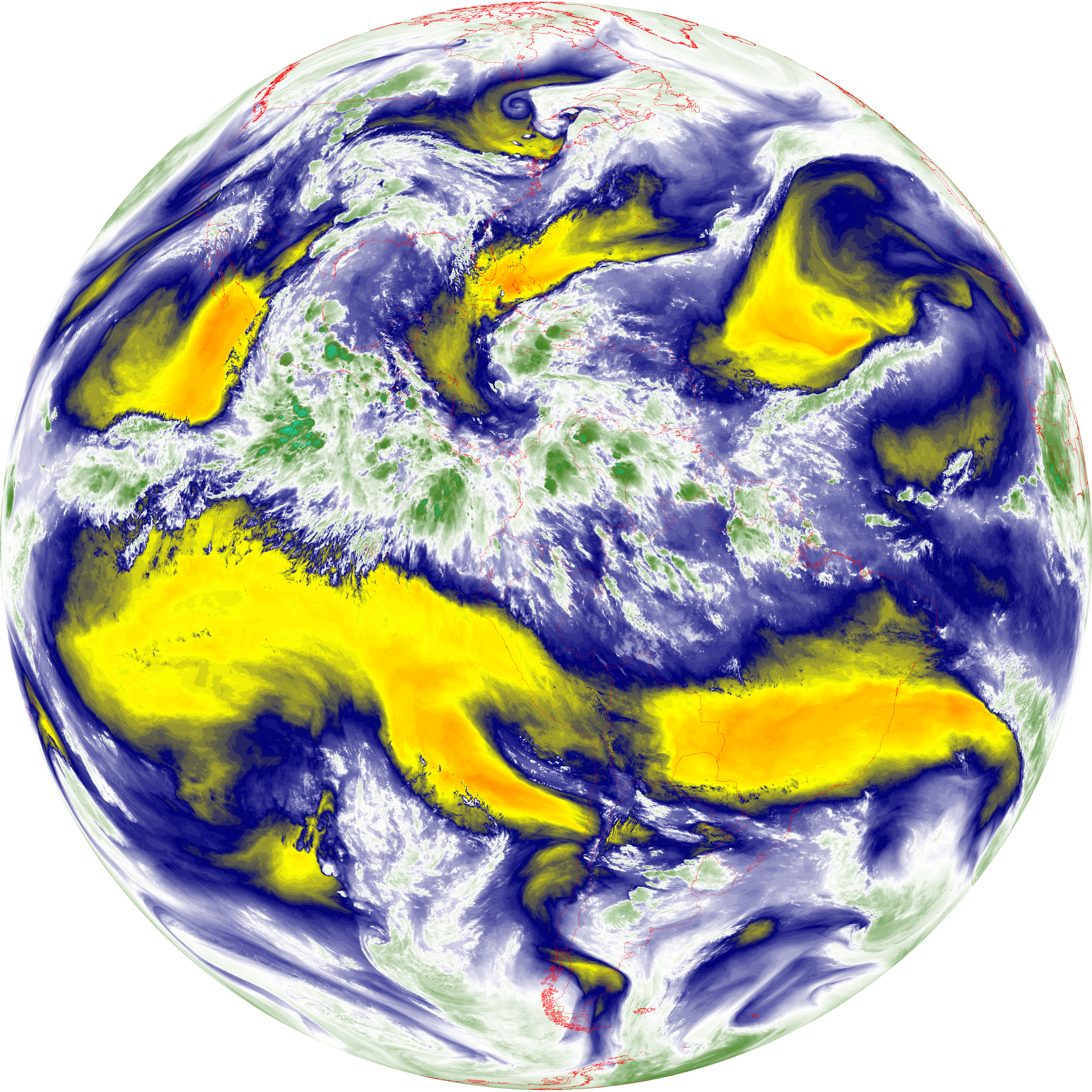
| abi_rgb_Upper-Level_Tropospheric_Water_Vapor_map.png | 7682011 | 2026-Jun-07 04:18 |
| G19_9_20260607T040021Z.png | 6585694 | 2026-Jun-07 04:20 |
| abi_rgb_Mid-level_Tropospheric_Water_Vapor.png | 8830502 | 2026-Jun-07 04:20 |
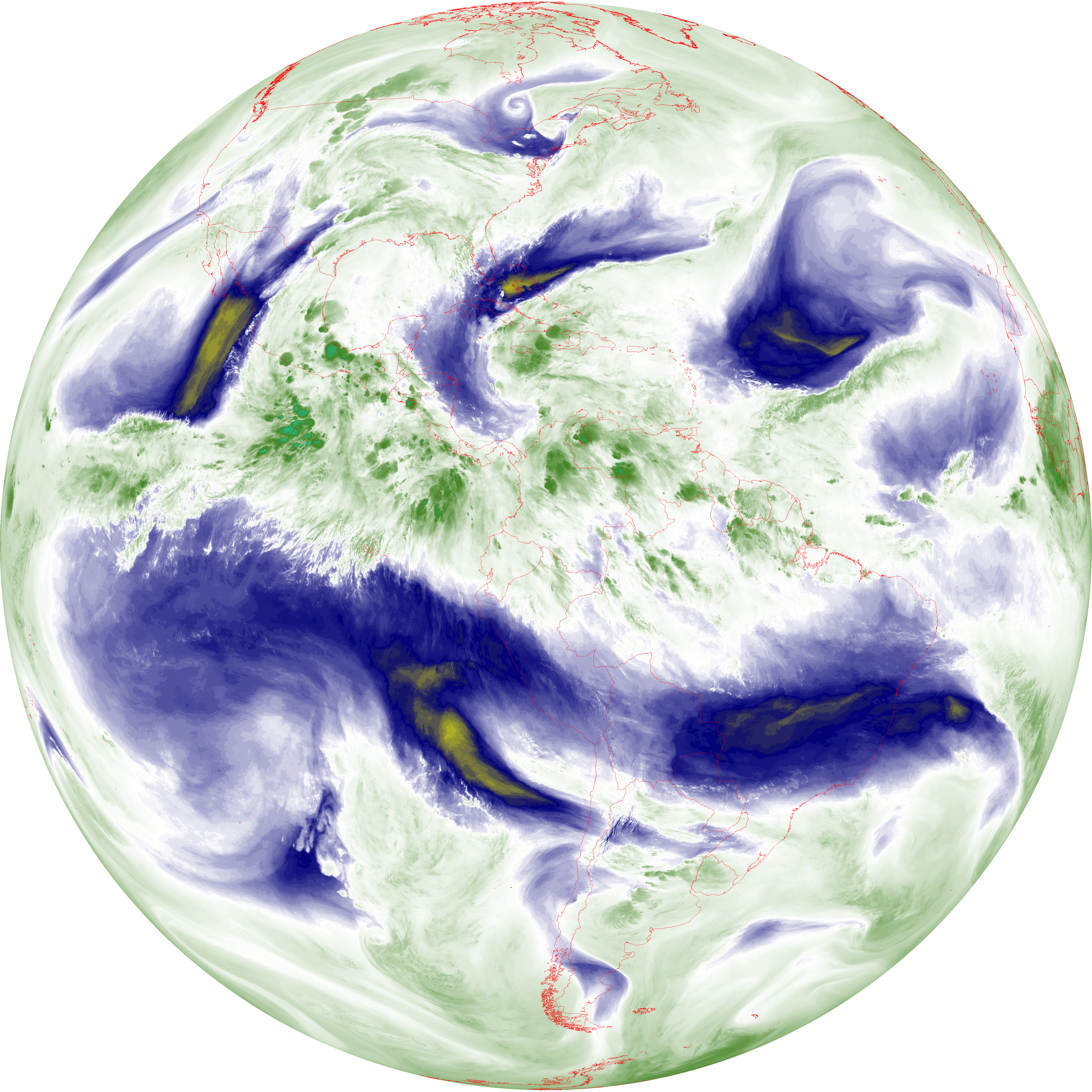
| abi_rgb_Mid-level_Tropospheric_Water_Vapor_map.png | 8930262 | 2026-Jun-07 04:20 |
| G19_14_20260607T040021Z.png | 10507822 | 2026-Jun-07 04:23 |
| abi_rgb_Infrared_Longwave_Window_Band.png | 14094487 | 2026-Jun-07 04:24 |
| abi_rgb_Infrared_Longwave_Window_Band_map.png | 14140629 | 2026-Jun-07 04:24 |
| G19_15_20260607T040021Z.png | 10244590 | 2026-Jun-07 04:26 |
| abi_rgb_Dirty_Longwave_Window.png | 13776082 | 2026-Jun-07 04:27 |
| abi_rgb_Dirty_Longwave_Window_map.png | 13825972 | 2026-Jun-07 04:27 |
| abi_rgb_Dirty_Longwave_Window_-_CIRA.png | 12114667 | 2026-Jun-07 04:27 |
| abi_rgb_Dirty_Longwave_Window_-_CIRA_map.png | 12176219 | 2026-Jun-07 04:27 |