| Parent directory/ | - | - |
| abi_rgb_Shortwave_Window_Band_map.png | 15412905 | 2026-Jun-07 04:43 |
| abi_rgb_Shortwave_Window_Band.png | 15359832 | 2026-Jun-07 04:43 |
| abi_rgb_Infrared_Longwave_Window_Band_map.png | 14129222 | 2026-Jun-07 04:54 |
| abi_rgb_Infrared_Longwave_Window_Band.png | 14083359 | 2026-Jun-07 04:53 |
| abi_rgb_Clean_Longwave_IR_Window_Band_map.png | 13956669 | 2026-Jun-07 04:46 |
| abi_rgb_Clean_Longwave_IR_Window_Band.png | 13910338 | 2026-Jun-07 04:46 |
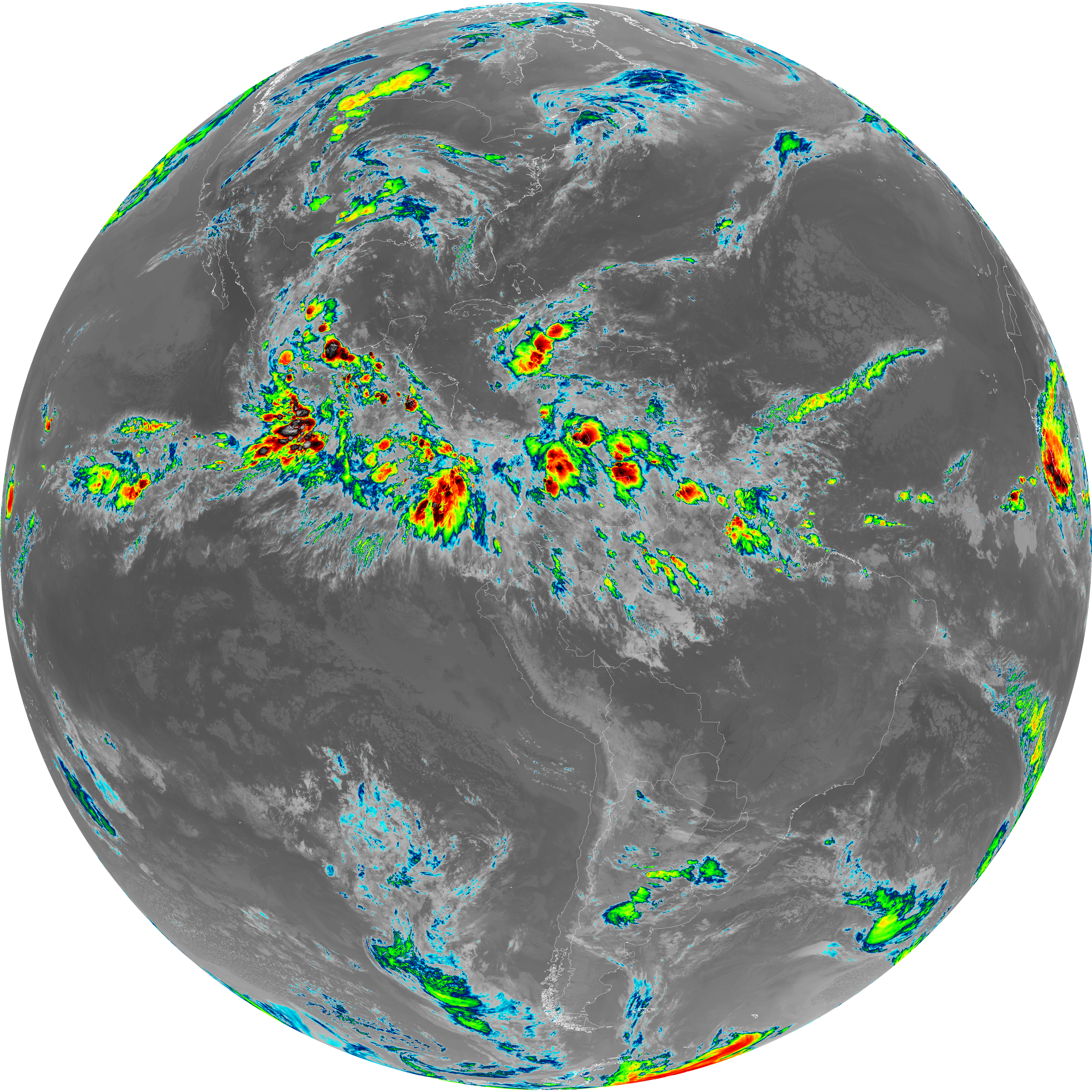
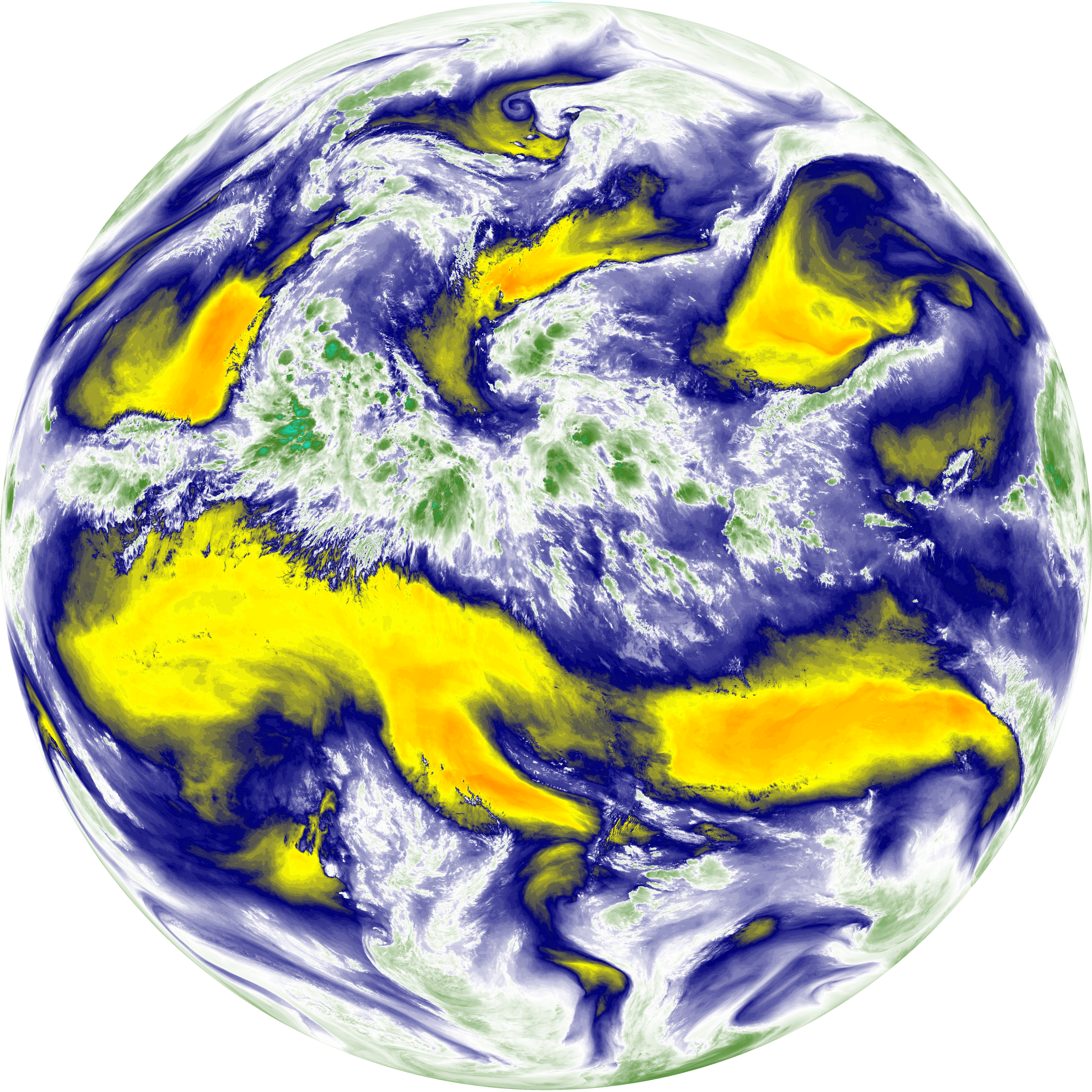
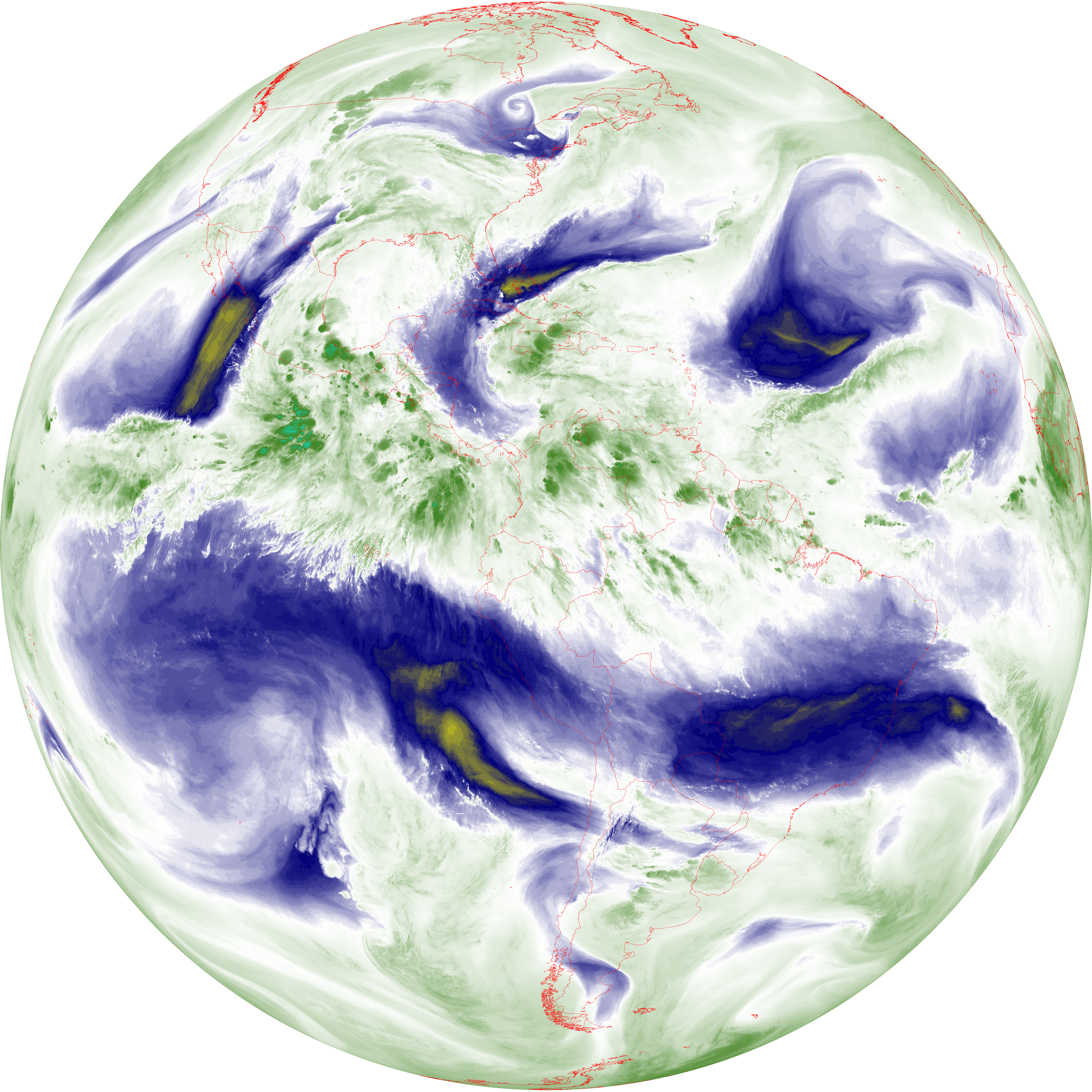
| abi_rgb_Dirty_Longwave_Window_map.png | 13816951 | 2026-Jun-07 04:56 |
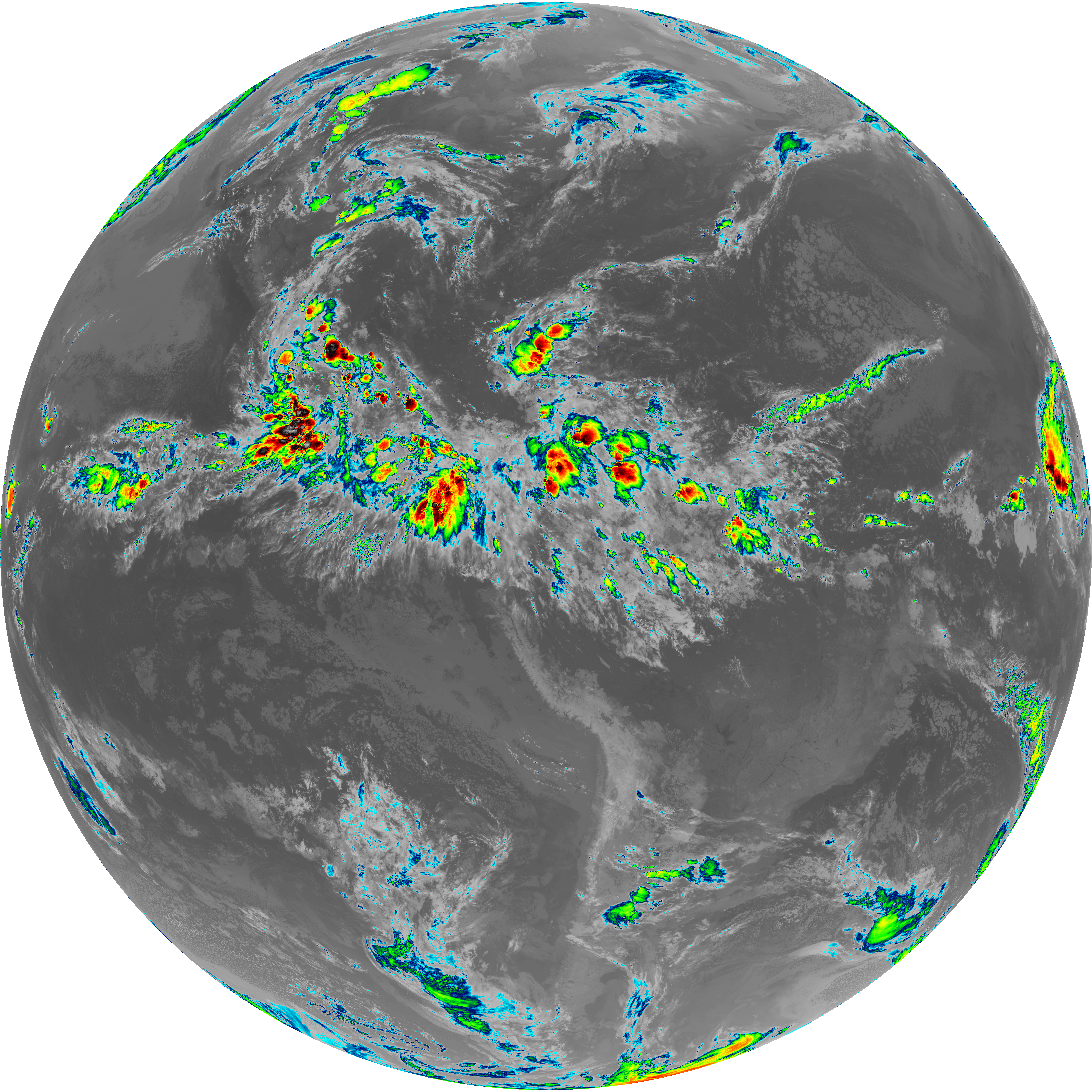
| abi_rgb_Dirty_Longwave_Window.png | 13766861 | 2026-Jun-07 04:56 |
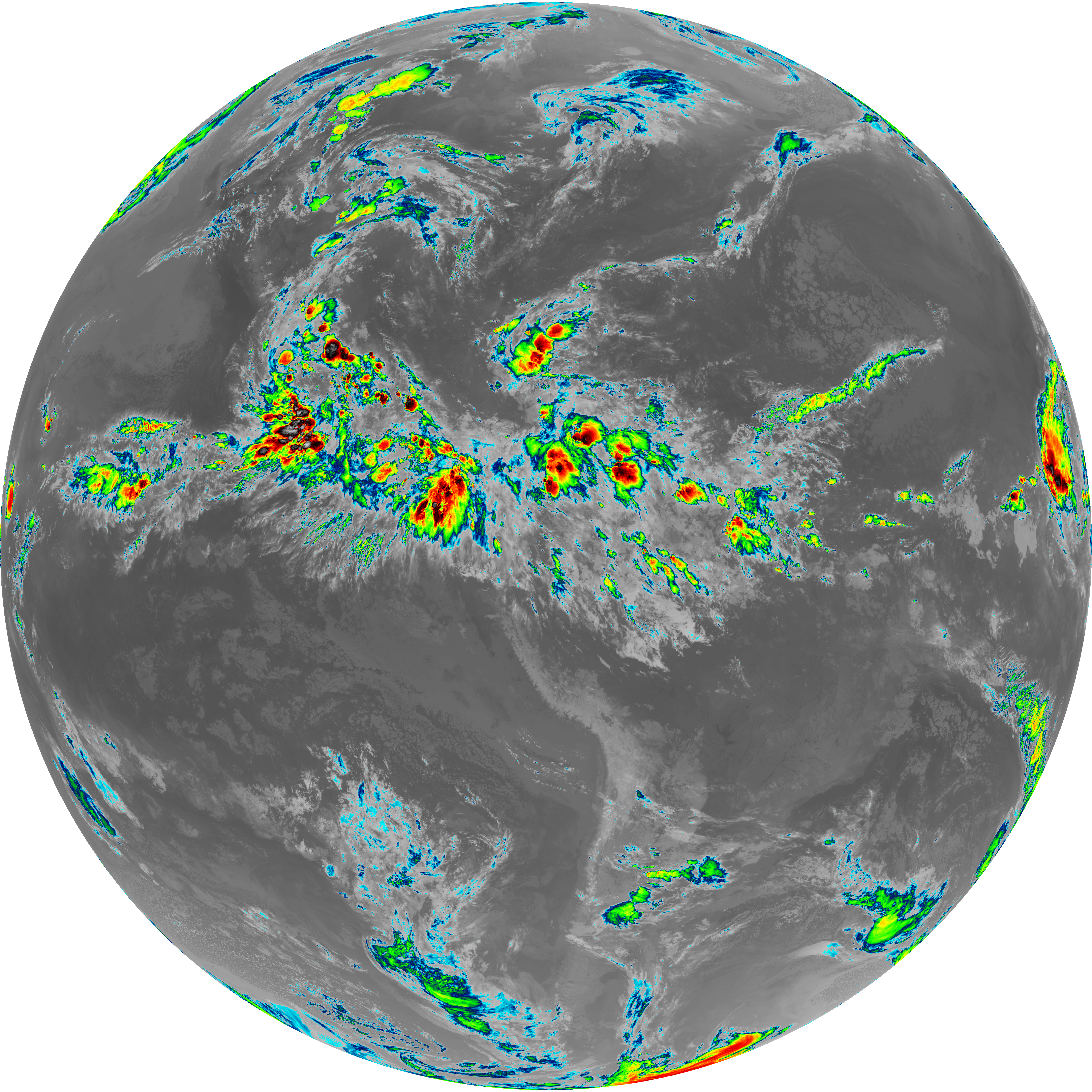
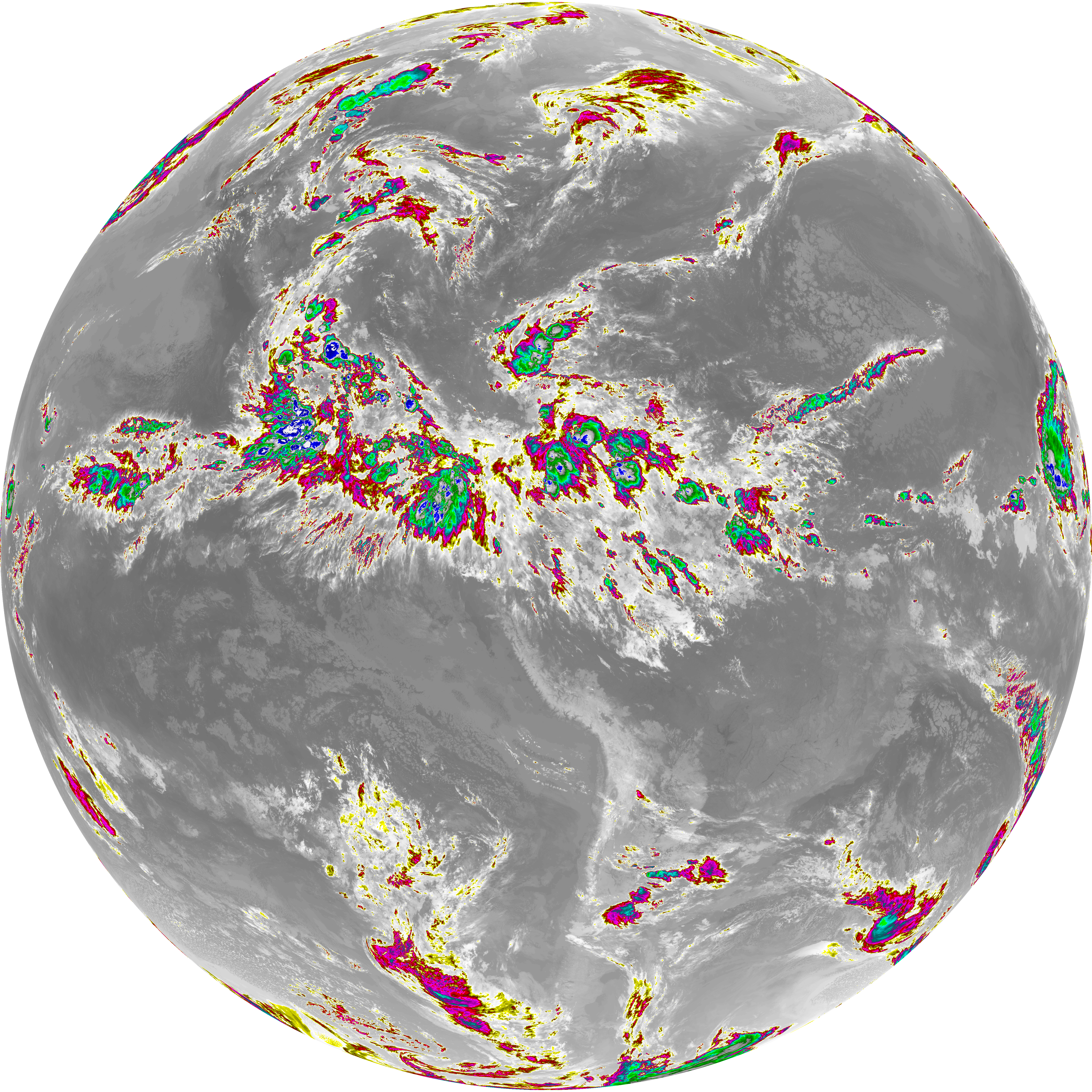
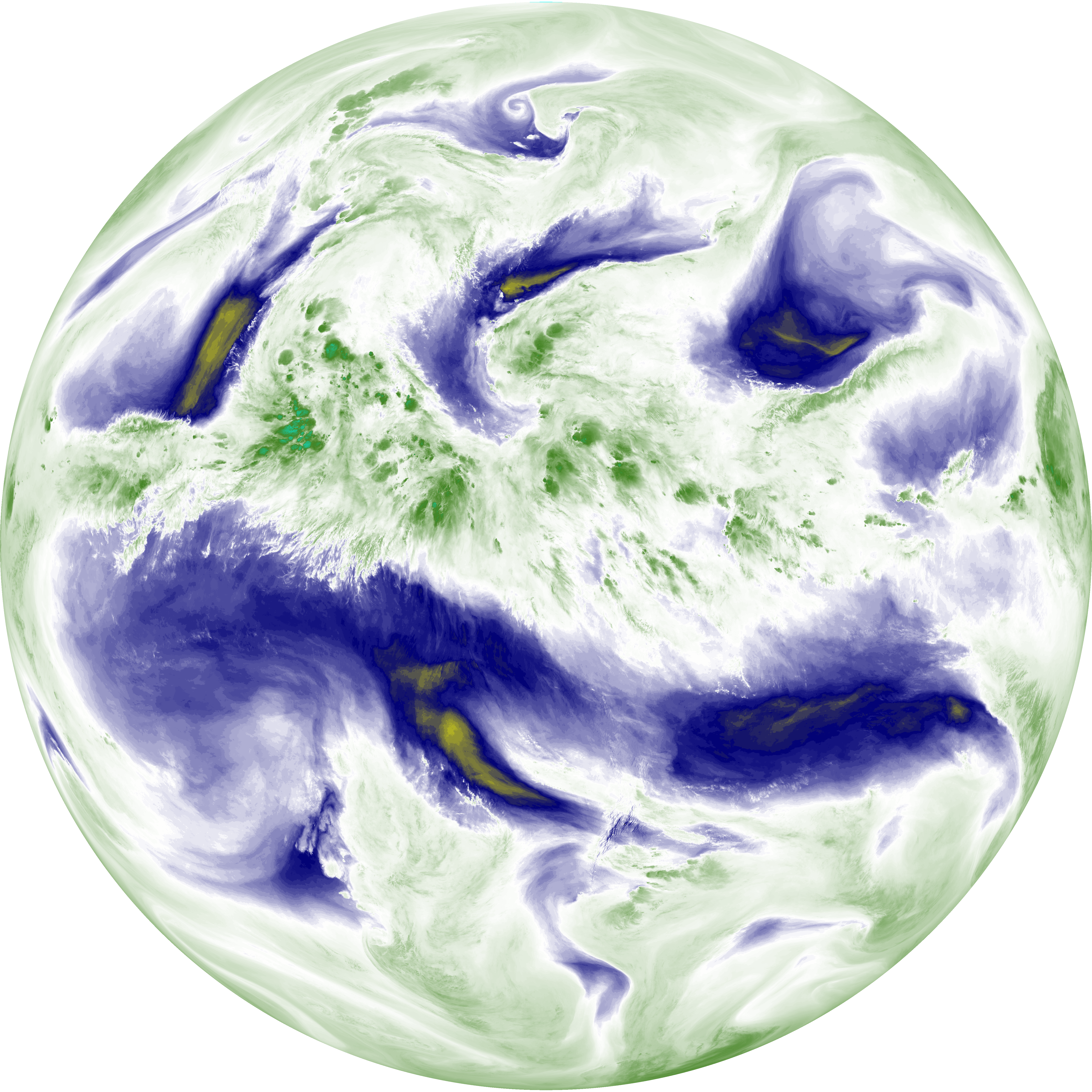
| abi_rgb_Dirty_Longwave_Window_-_CIRA_map.png | 12157479 | 2026-Jun-07 04:57 |
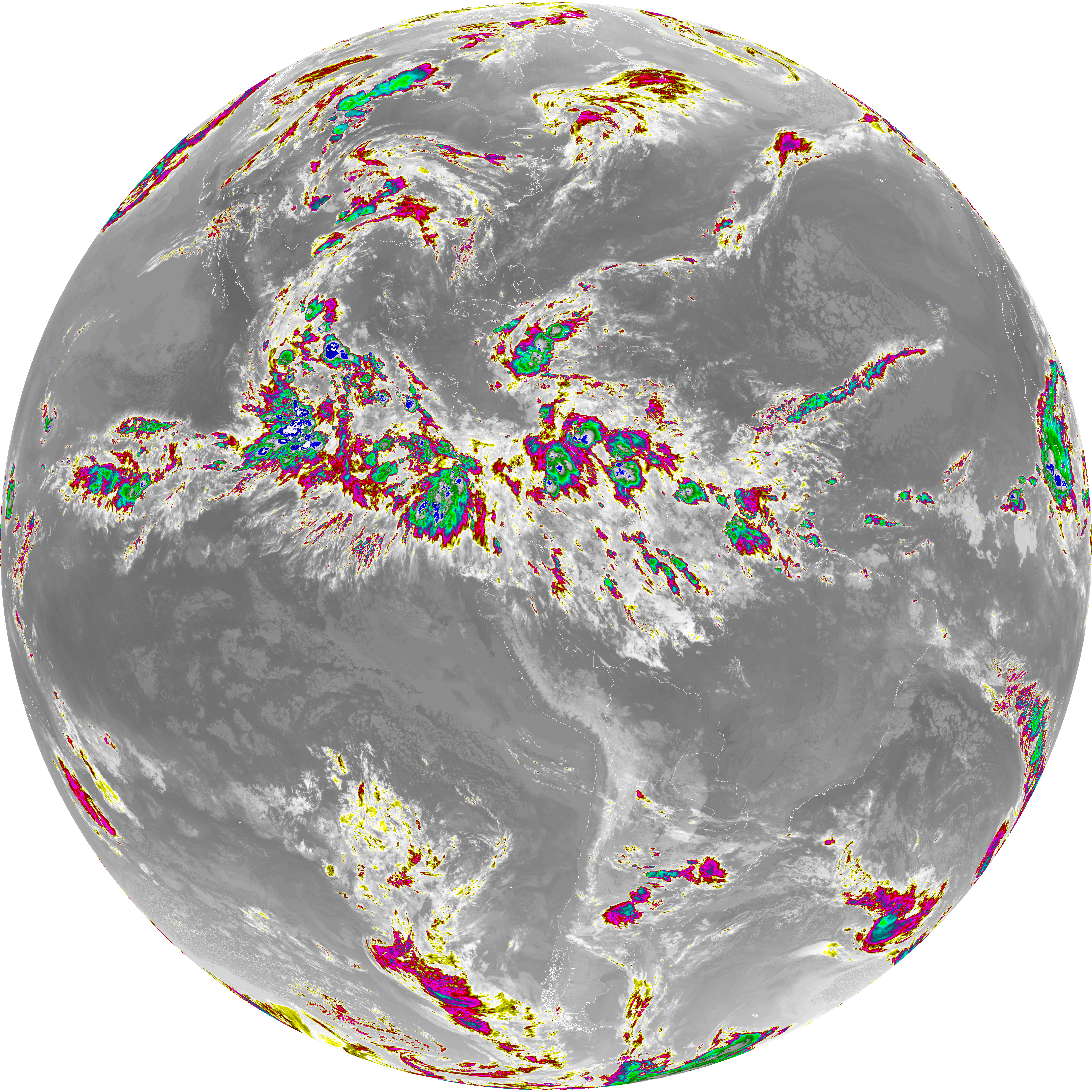
| abi_rgb_Dirty_Longwave_Window_-_CIRA.png | 12095334 | 2026-Jun-07 04:57 |
| G19_7_20260607T043021Z.png | 11137338 | 2026-Jun-07 04:43 |
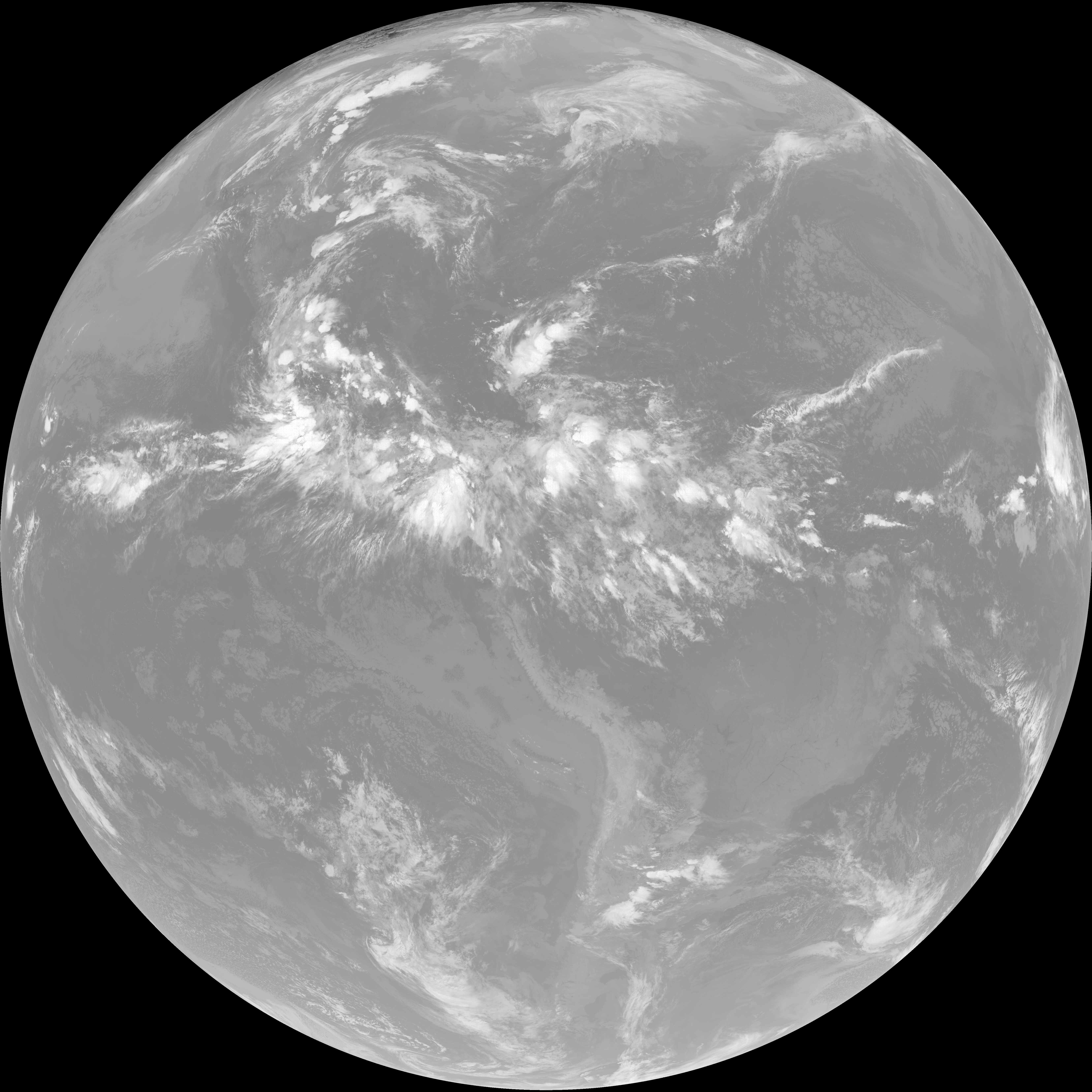
| G19_14_20260607T043021Z.png | 10502962 | 2026-Jun-07 04:53 |
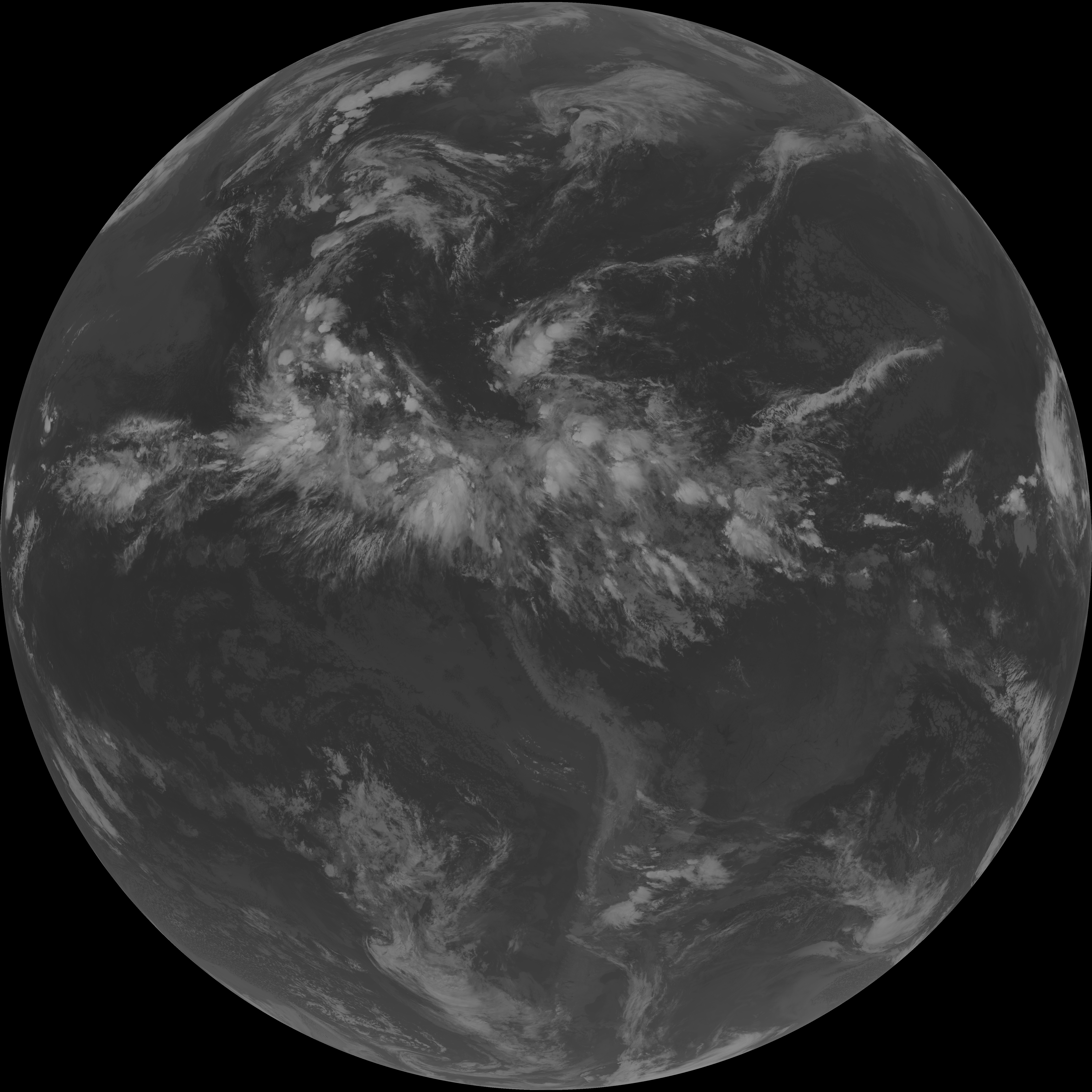
| G19_13_20260607T043021Z.png | 10349737 | 2026-Jun-07 04:46 |
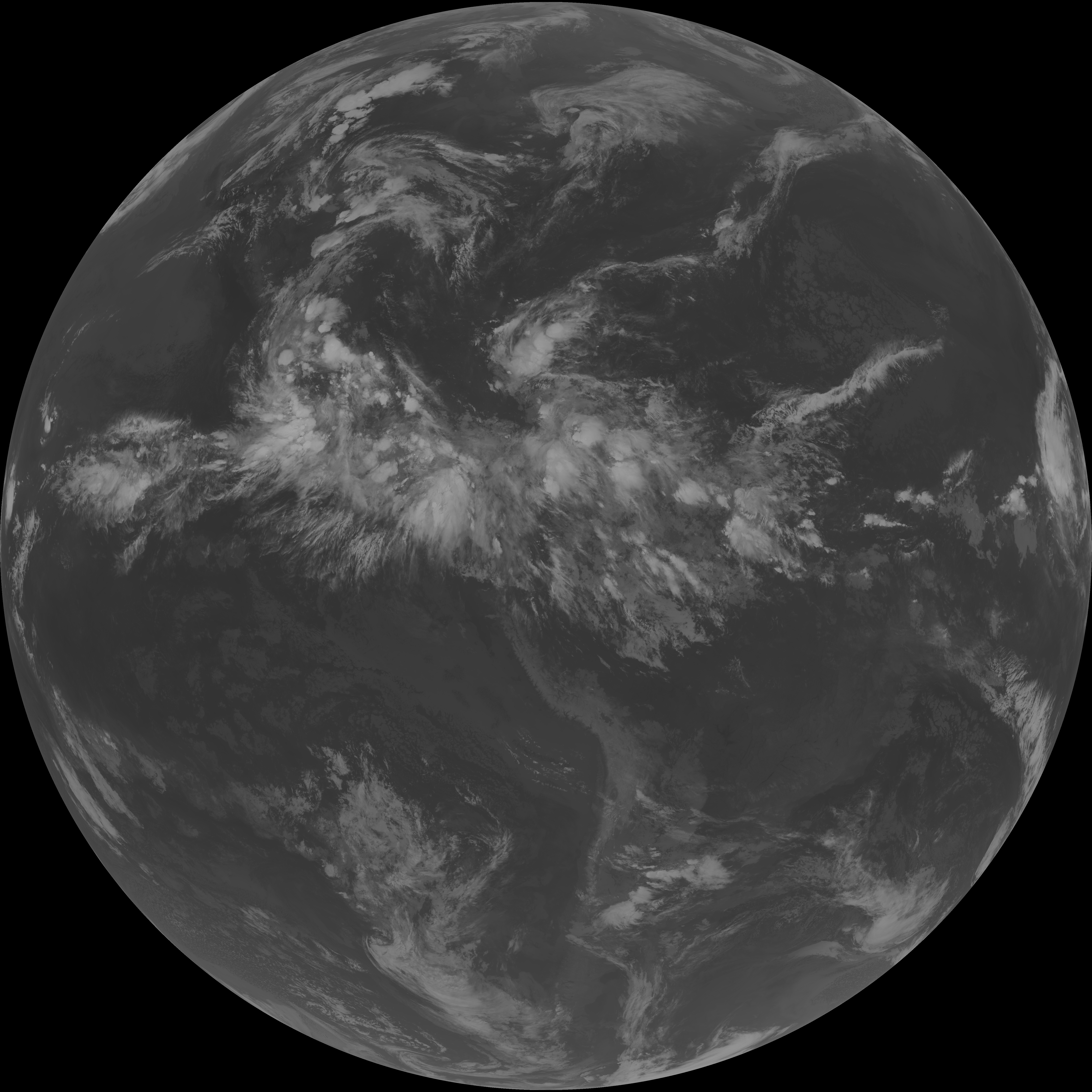
| G19_15_20260607T043021Z.png | 10238317 | 2026-Jun-07 04:56 |
| abi_rgb_Mid-level_Tropospheric_Water_Vapor_map.png | 8908279 | 2026-Jun-07 04:50 |
| abi_rgb_Mid-level_Tropospheric_Water_Vapor.png | 8808844 | 2026-Jun-07 04:50 |
| abi_rgb_Upper-Level_Tropospheric_Water_Vapor_map.png | 7663575 | 2026-Jun-07 04:48 |
| abi_rgb_Upper-Level_Tropospheric_Water_Vapor.png | 7553279 | 2026-Jun-07 04:48 |
| G19_9_20260607T043021Z.png | 6569321 | 2026-Jun-07 04:50 |
| G19_8_20260607T043021Z.png | 5656605 | 2026-Jun-07 04:48 |
| G19_2_20260607T043021Z.png | 407671 | 2026-Jun-07 04:46 |