| Parent directory/ | - | - |
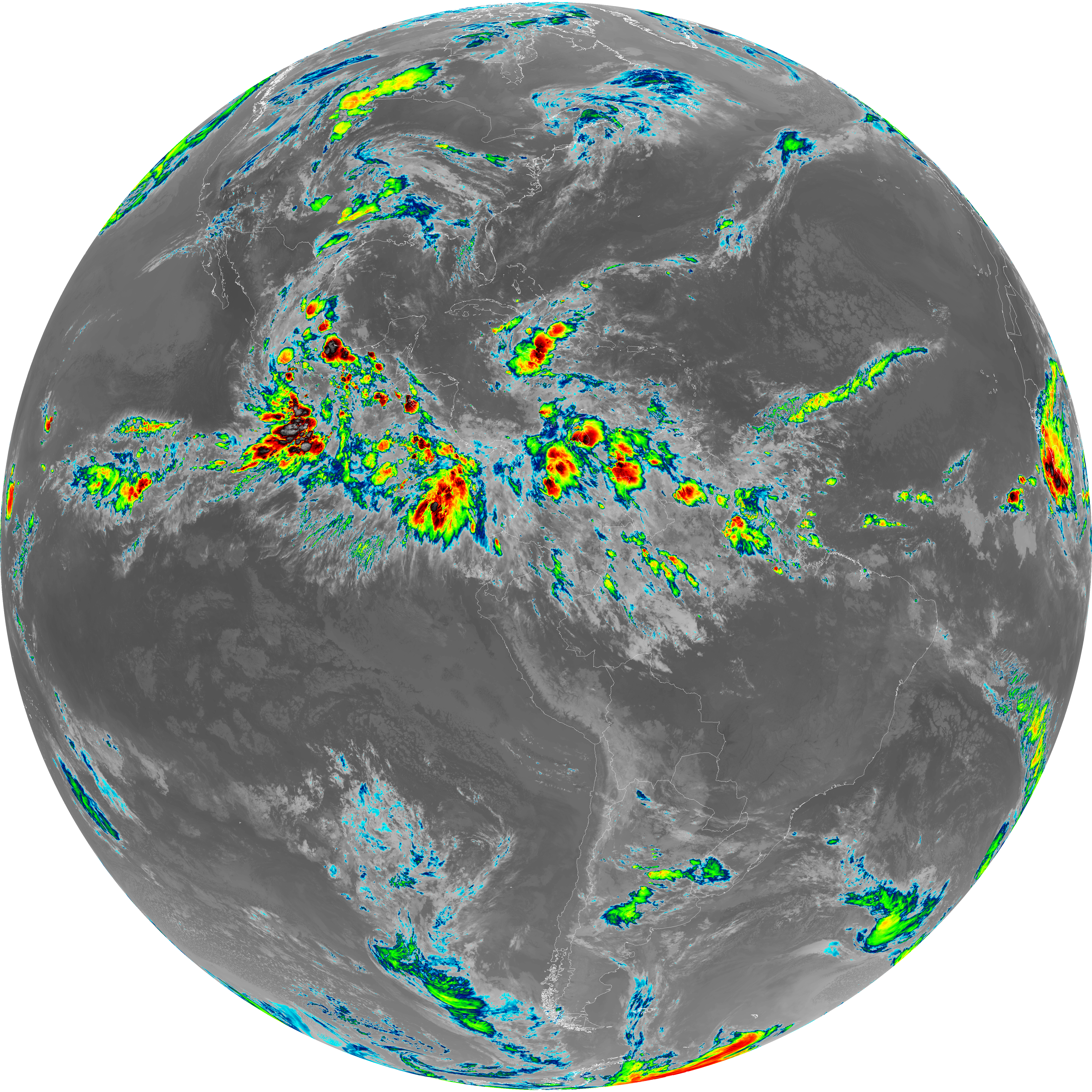
| G19_13_20260607T050021Z.png | 10348979 | 2026-Jun-07 05:16 |
| G19_14_20260607T050021Z.png | 10502250 | 2026-Jun-07 05:23 |
| G19_15_20260607T050021Z.png | 10239262 | 2026-Jun-07 05:27 |
| G19_2_20260607T050021Z.png | 360094 | 2026-Jun-07 05:16 |
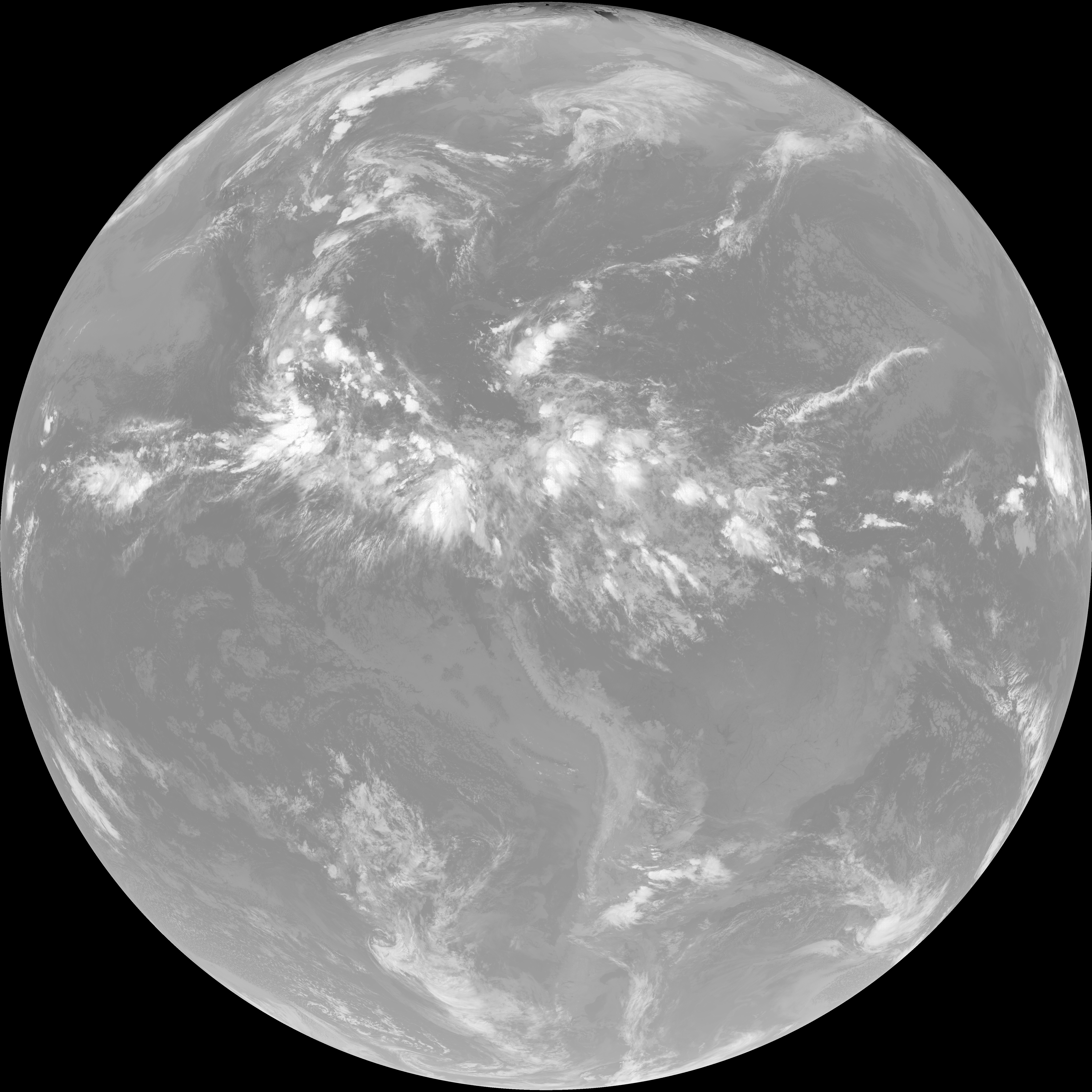
| G19_7_20260607T050021Z.png | 11123357 | 2026-Jun-07 05:13 |
| G19_8_20260607T050021Z.png | 5656114 | 2026-Jun-07 05:18 |
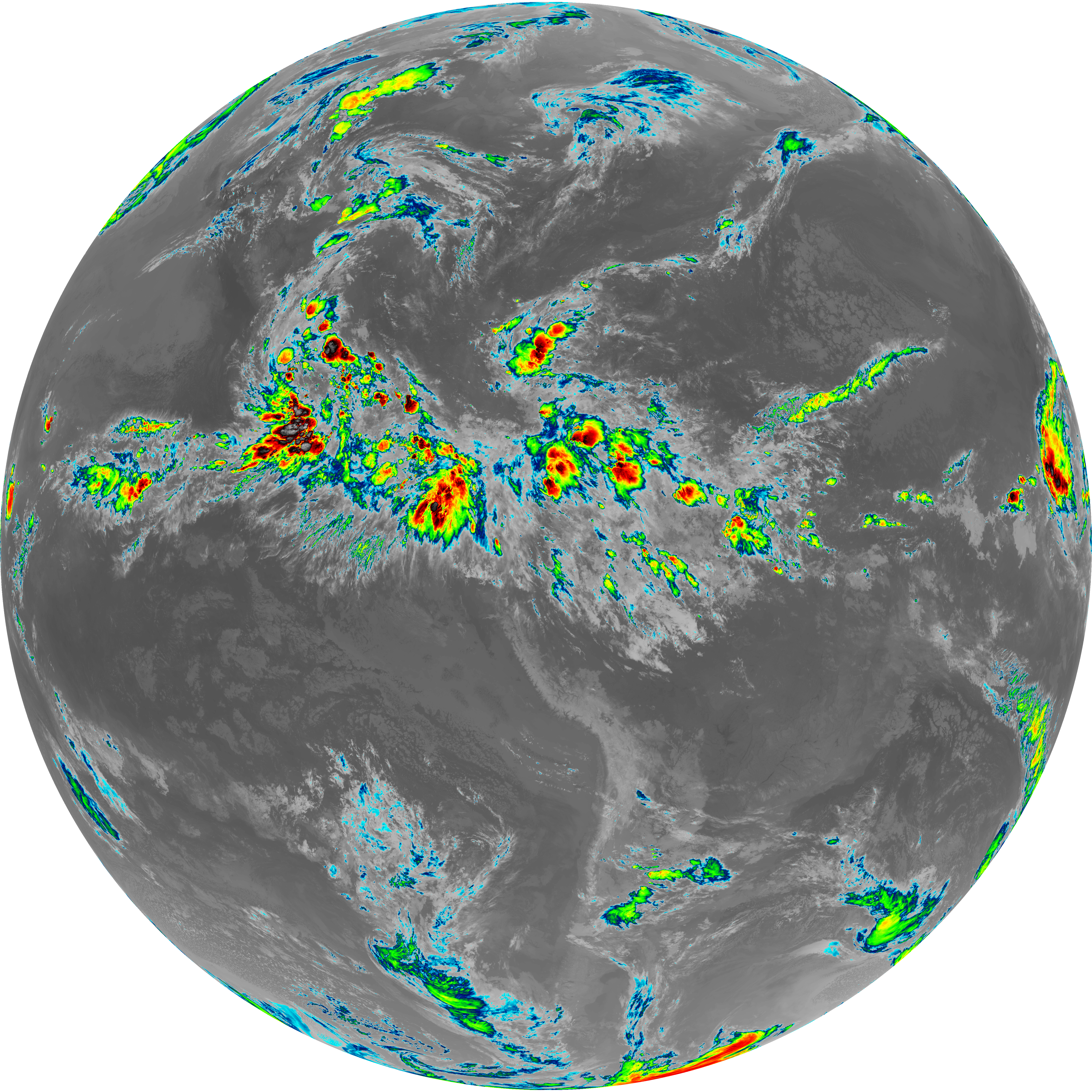
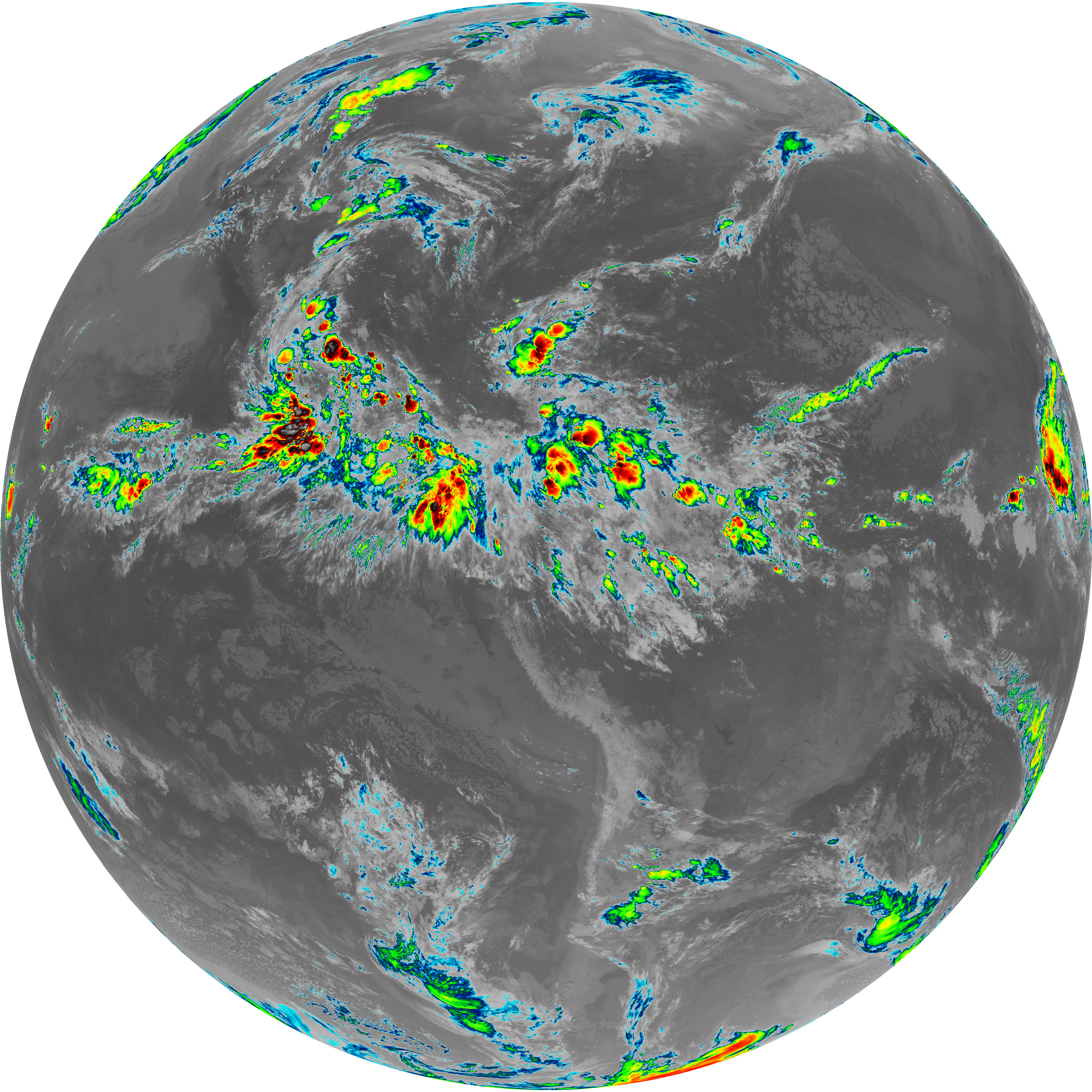
| G19_9_20260607T050021Z.png | 6557238 | 2026-Jun-07 05:20 |
| abi_rgb_Clean_Longwave_IR_Window_Band.png | 13908825 | 2026-Jun-07 05:16 |
| abi_rgb_Clean_Longwave_IR_Window_Band_map.png | 13955142 | 2026-Jun-07 05:16 |
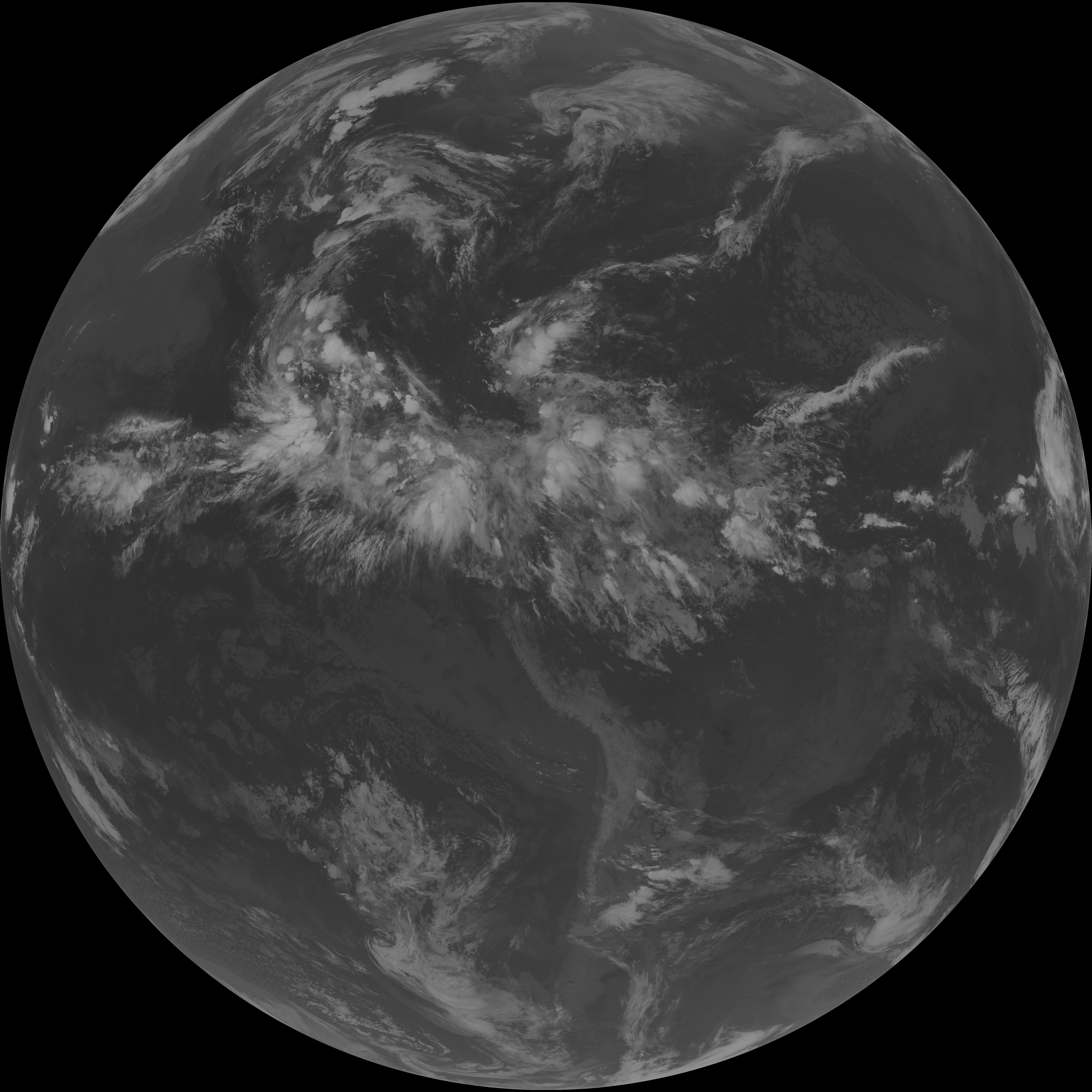
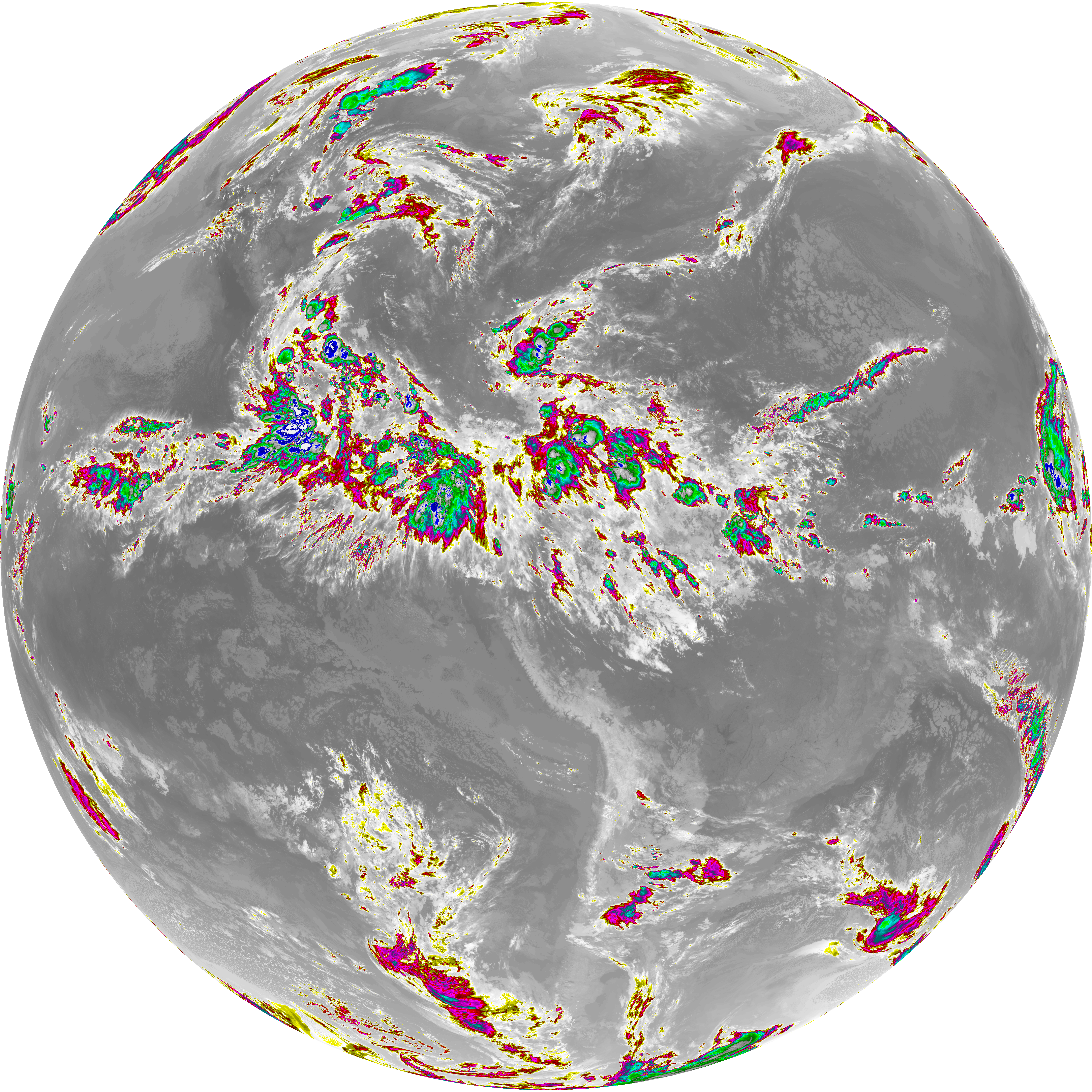
| abi_rgb_Dirty_Longwave_Window.png | 13765959 | 2026-Jun-07 05:27 |
| abi_rgb_Dirty_Longwave_Window_-_CIRA.png | 12085272 | 2026-Jun-07 05:27 |
| abi_rgb_Dirty_Longwave_Window_-_CIRA_map.png | 12146428 | 2026-Jun-07 05:27 |
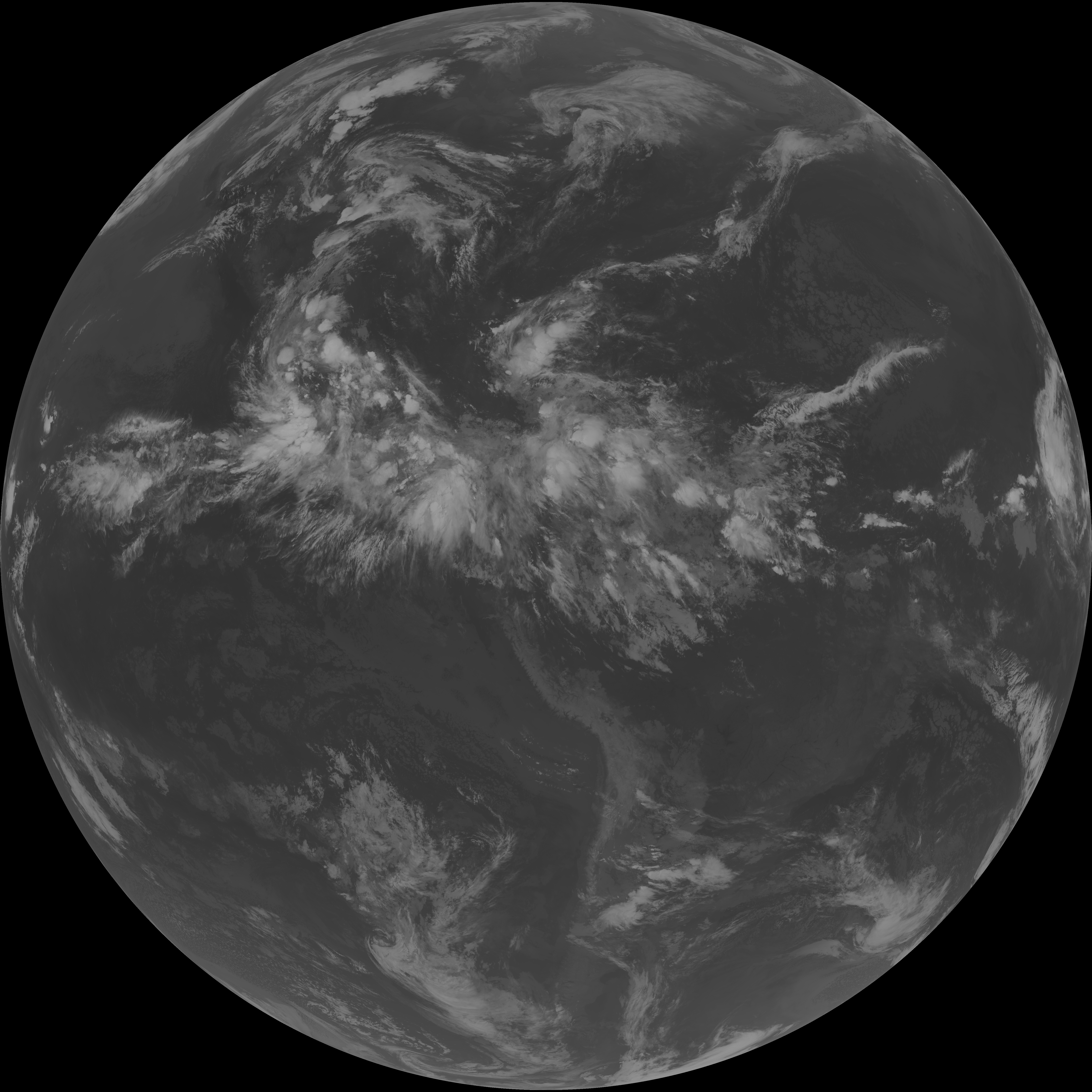
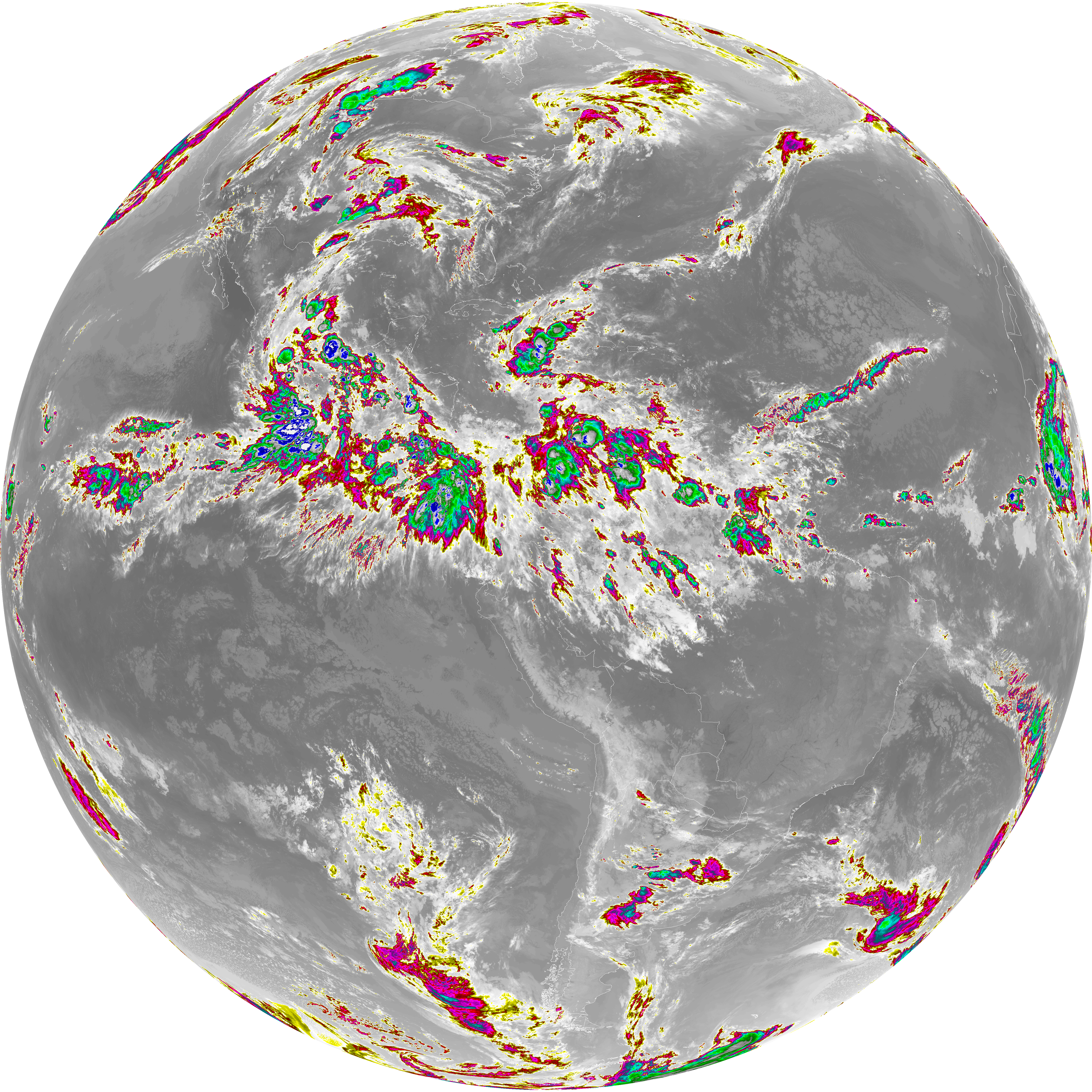
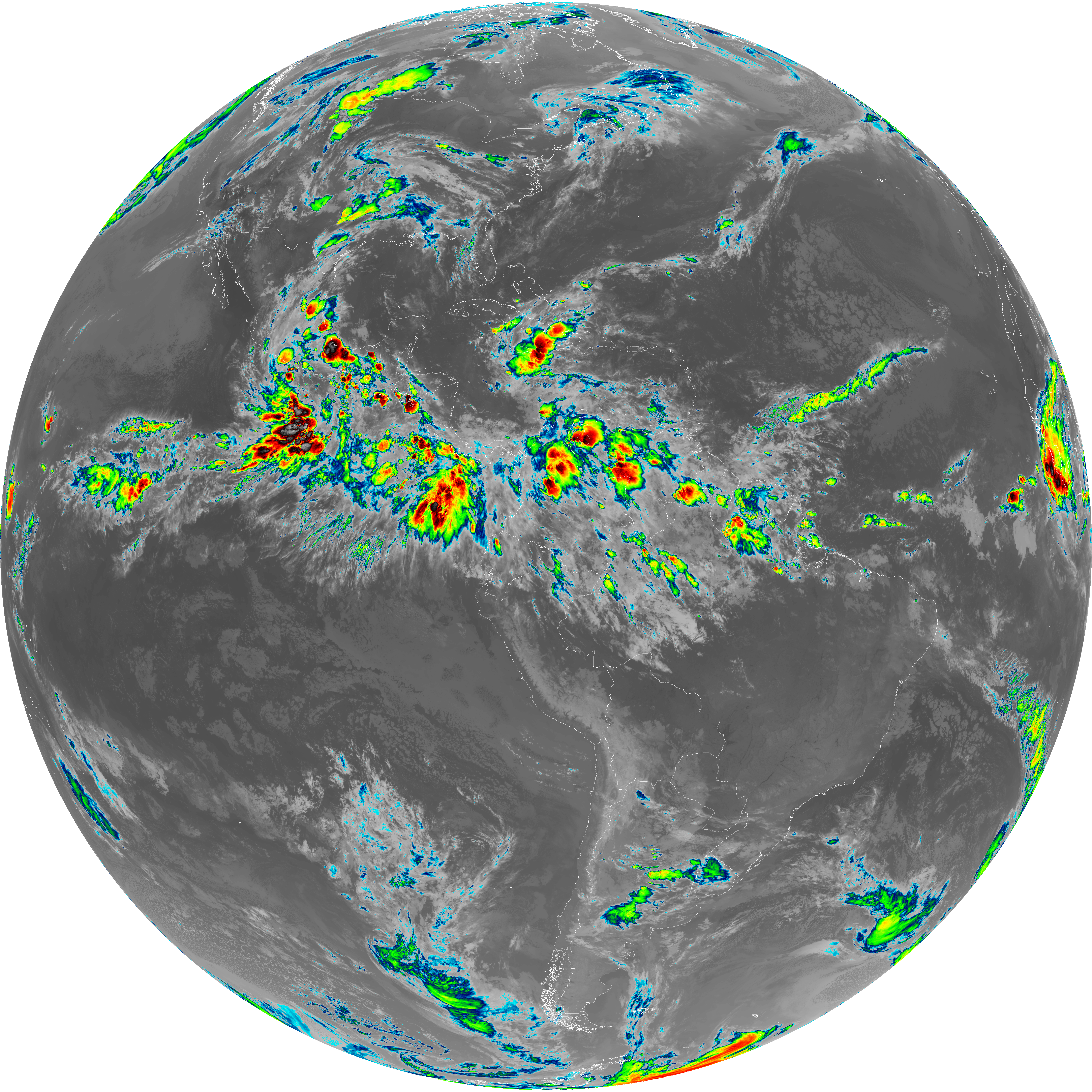
| abi_rgb_Dirty_Longwave_Window_map.png | 13815107 | 2026-Jun-07 05:27 |
| abi_rgb_Infrared_Longwave_Window_Band.png | 14082430 | 2026-Jun-07 05:24 |
| abi_rgb_Infrared_Longwave_Window_Band_map.png | 14127491 | 2026-Jun-07 05:24 |
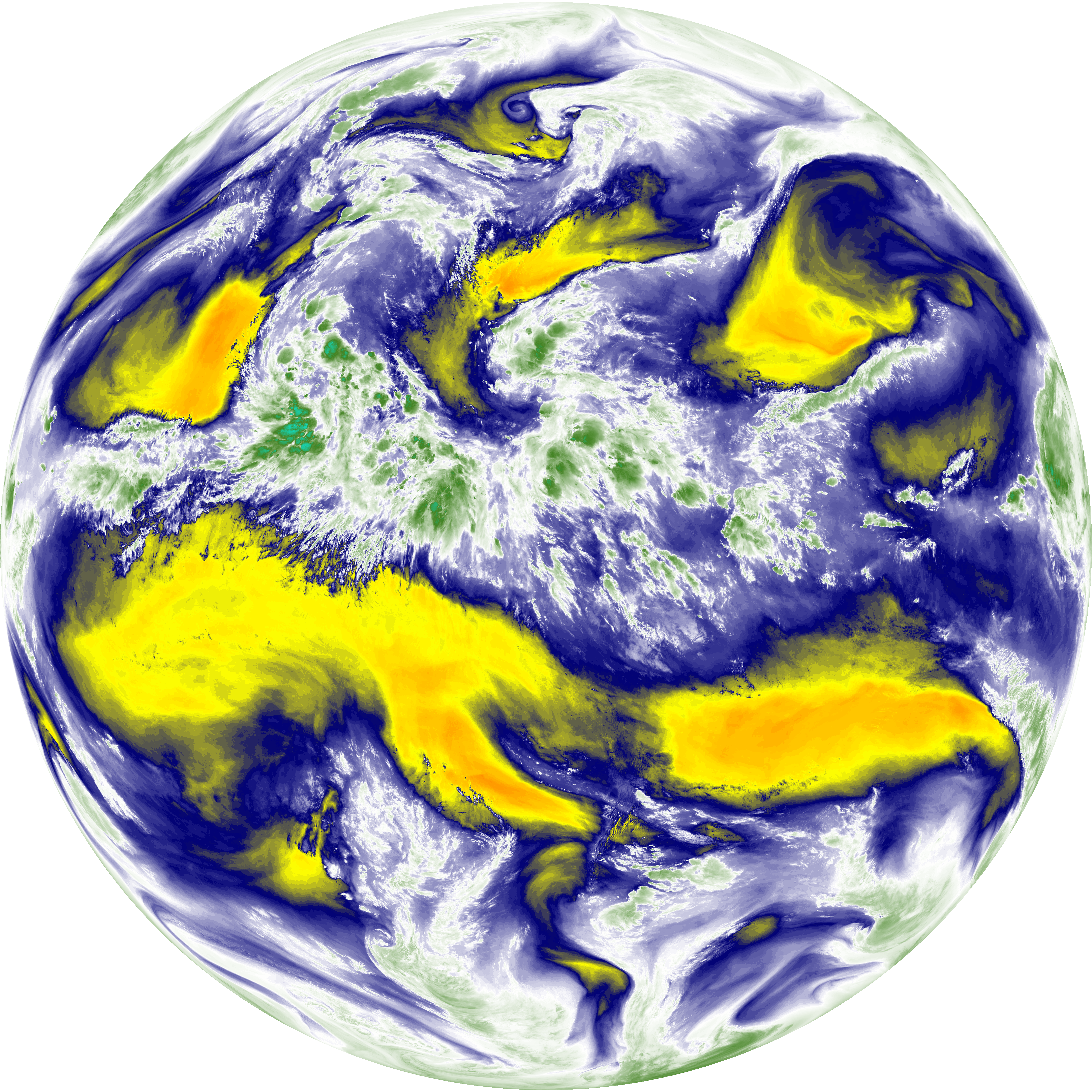
| abi_rgb_Mid-level_Tropospheric_Water_Vapor.png | 8791146 | 2026-Jun-07 05:20 |
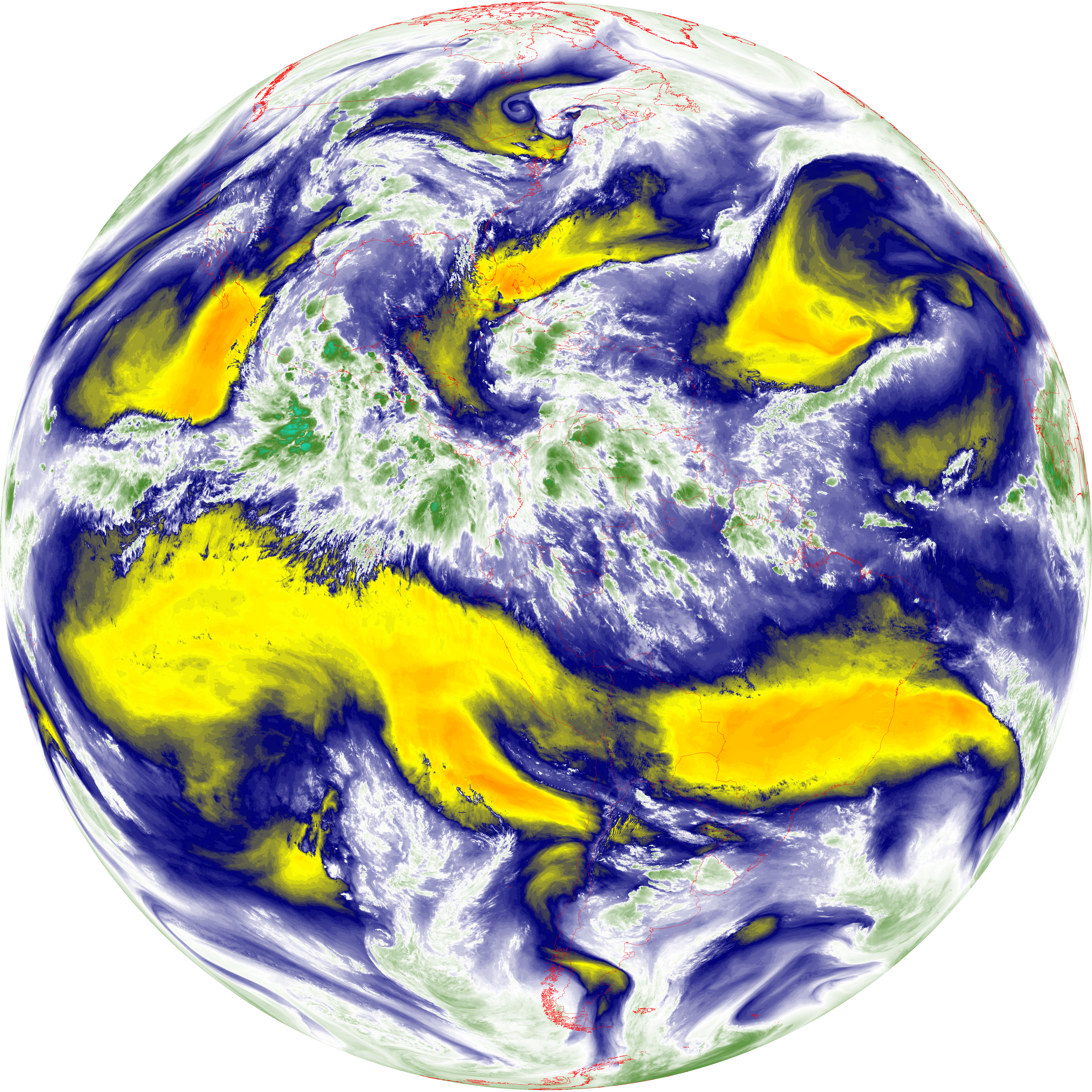
| abi_rgb_Mid-level_Tropospheric_Water_Vapor_map.png | 8890877 | 2026-Jun-07 05:21 |
| abi_rgb_Shortwave_Window_Band.png | 15346584 | 2026-Jun-07 05:13 |
| abi_rgb_Shortwave_Window_Band_map.png | 15398640 | 2026-Jun-07 05:14 |
| abi_rgb_Upper-Level_Tropospheric_Water_Vapor.png | 7548133 | 2026-Jun-07 05:18 |
| abi_rgb_Upper-Level_Tropospheric_Water_Vapor_map.png | 7657702 | 2026-Jun-07 05:18 |