| Parent directory/ | - | - |
| G19_7_20260607T053021Z.png | 11157229 | 2026-Jun-07 05:43 |
| abi_rgb_Shortwave_Window_Band.png | 15408262 | 2026-Jun-07 05:43 |
| abi_rgb_Shortwave_Window_Band_map.png | 15459296 | 2026-Jun-07 05:43 |
| G19_13_20260607T053021Z.png | 10336962 | 2026-Jun-07 05:46 |
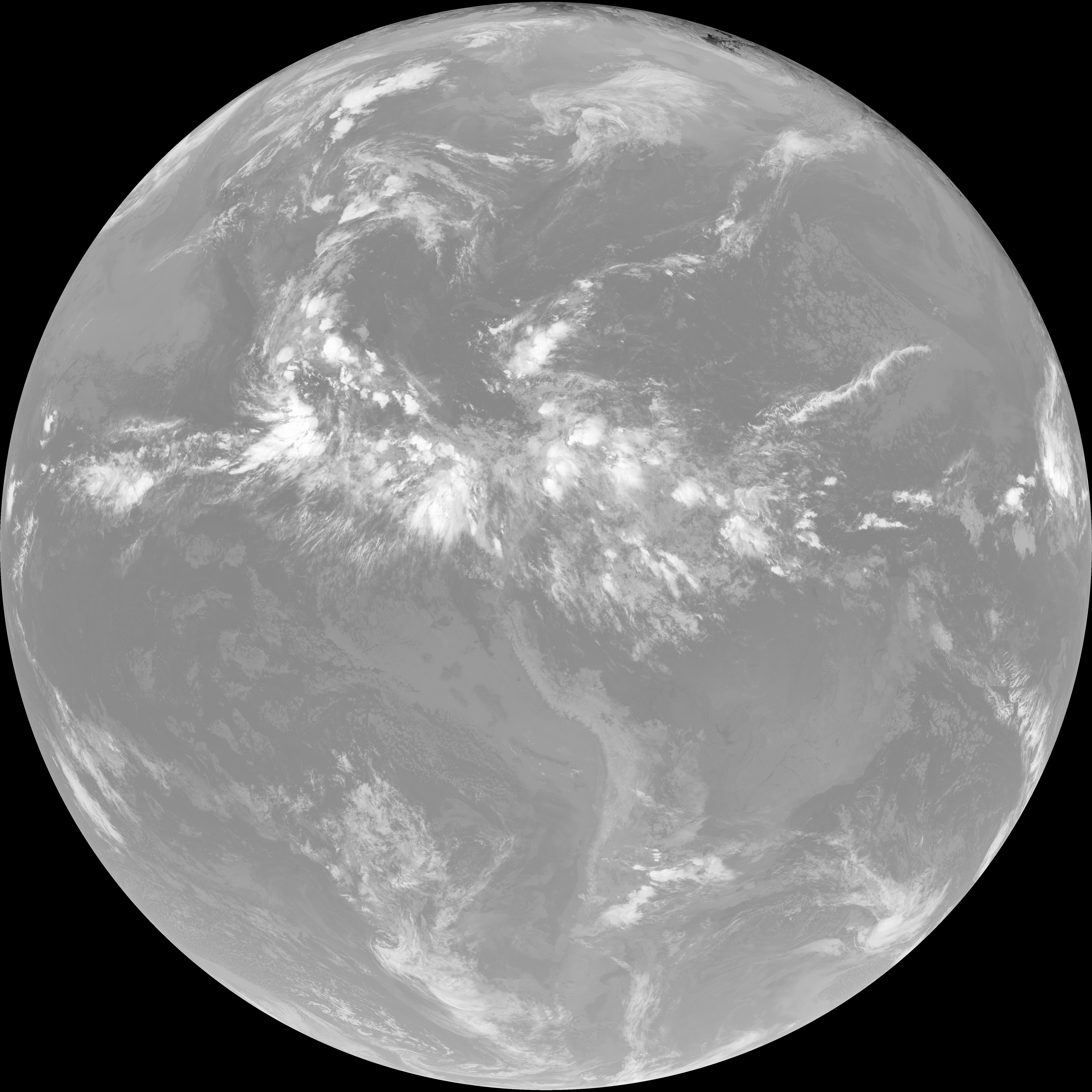
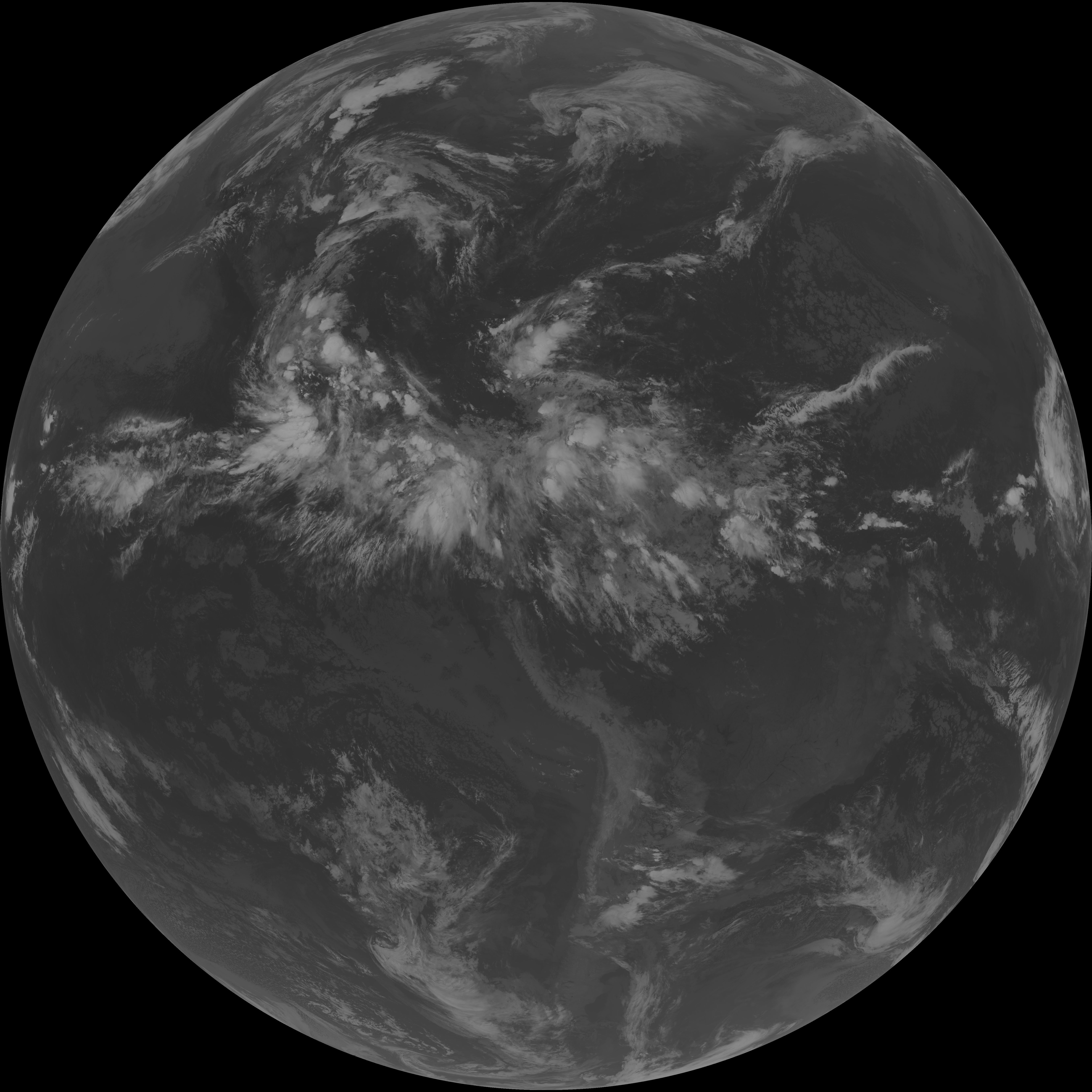
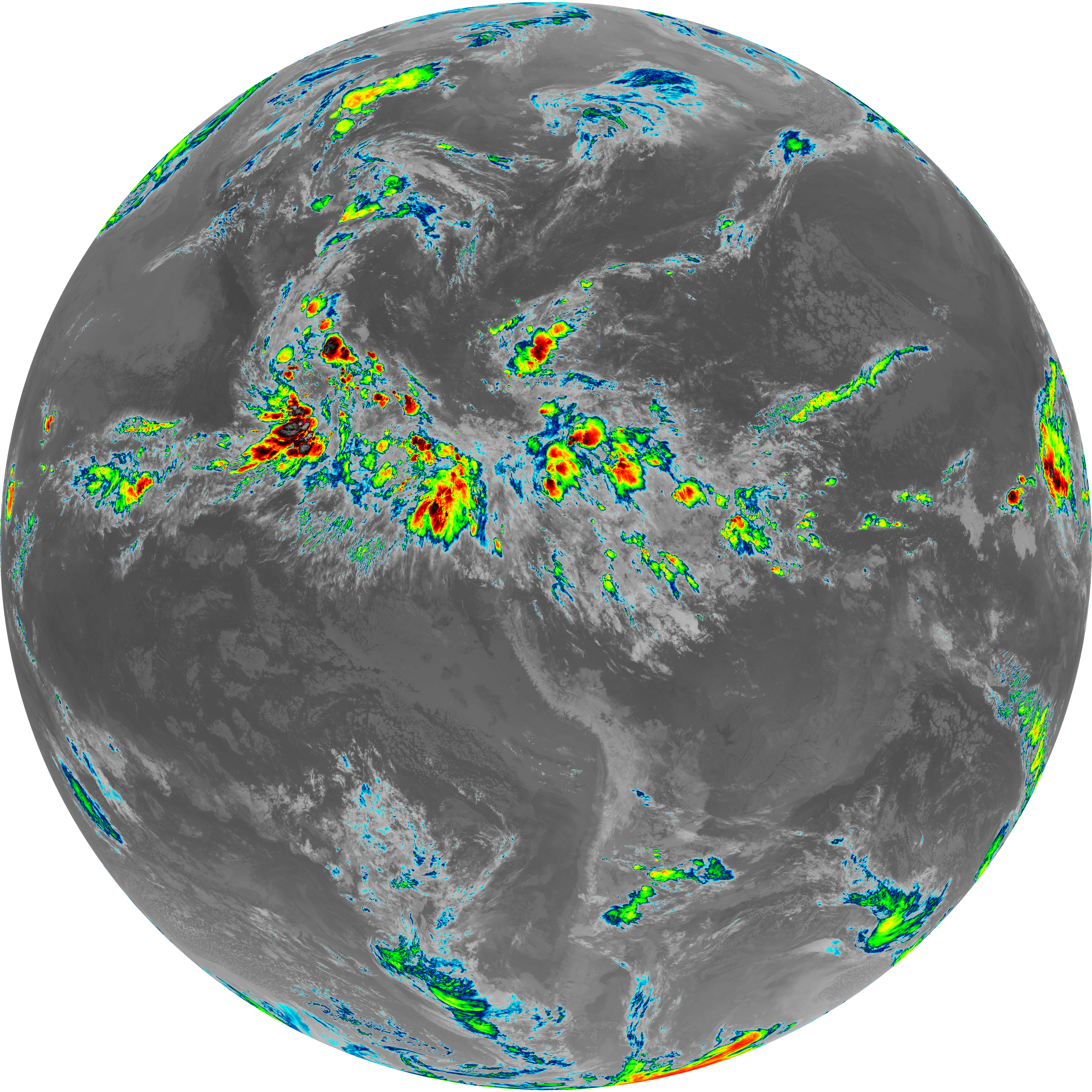
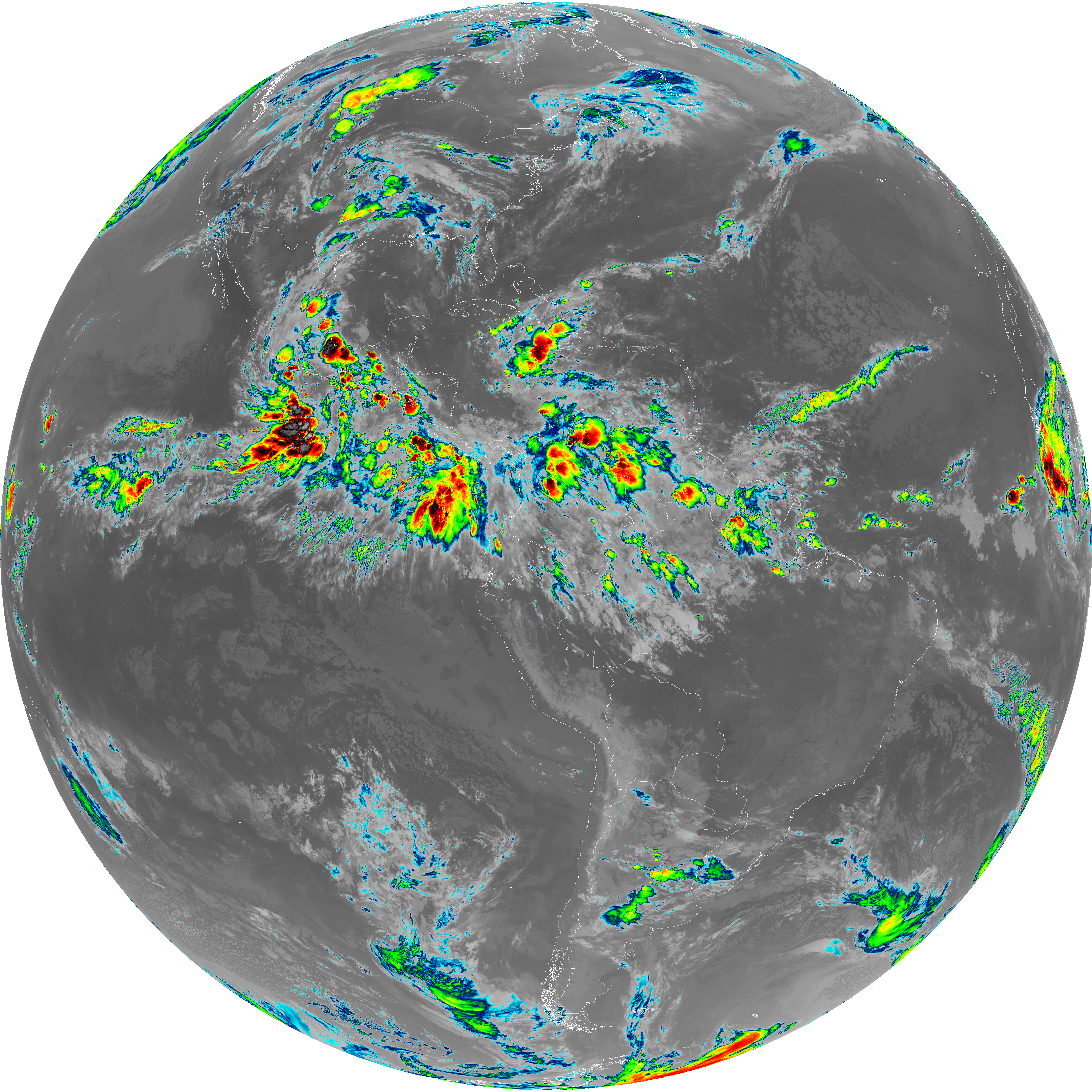
| abi_rgb_Clean_Longwave_IR_Window_Band.png | 13890586 | 2026-Jun-07 05:46 |
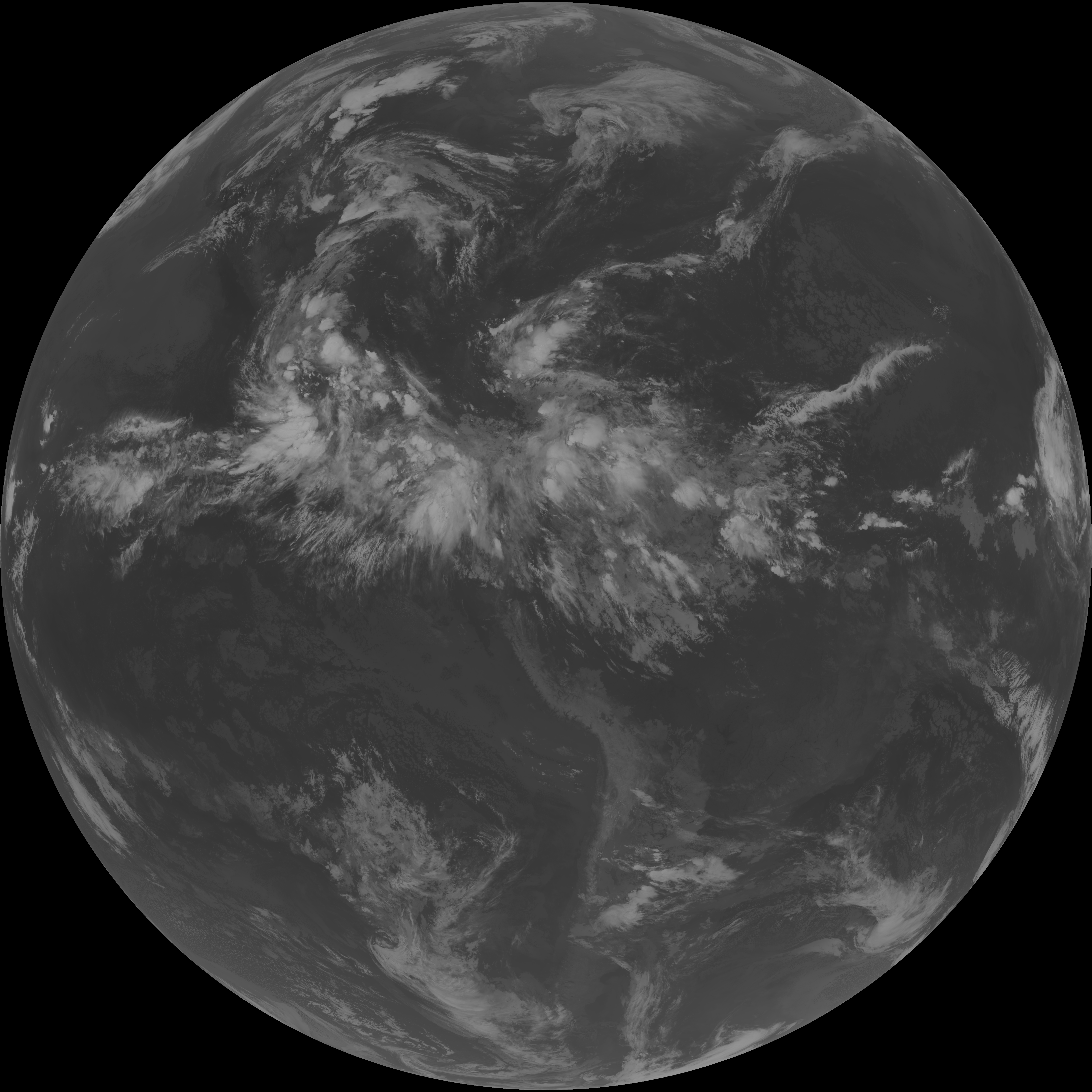
| G19_2_20260607T053021Z.png | 437548 | 2026-Jun-07 05:46 |
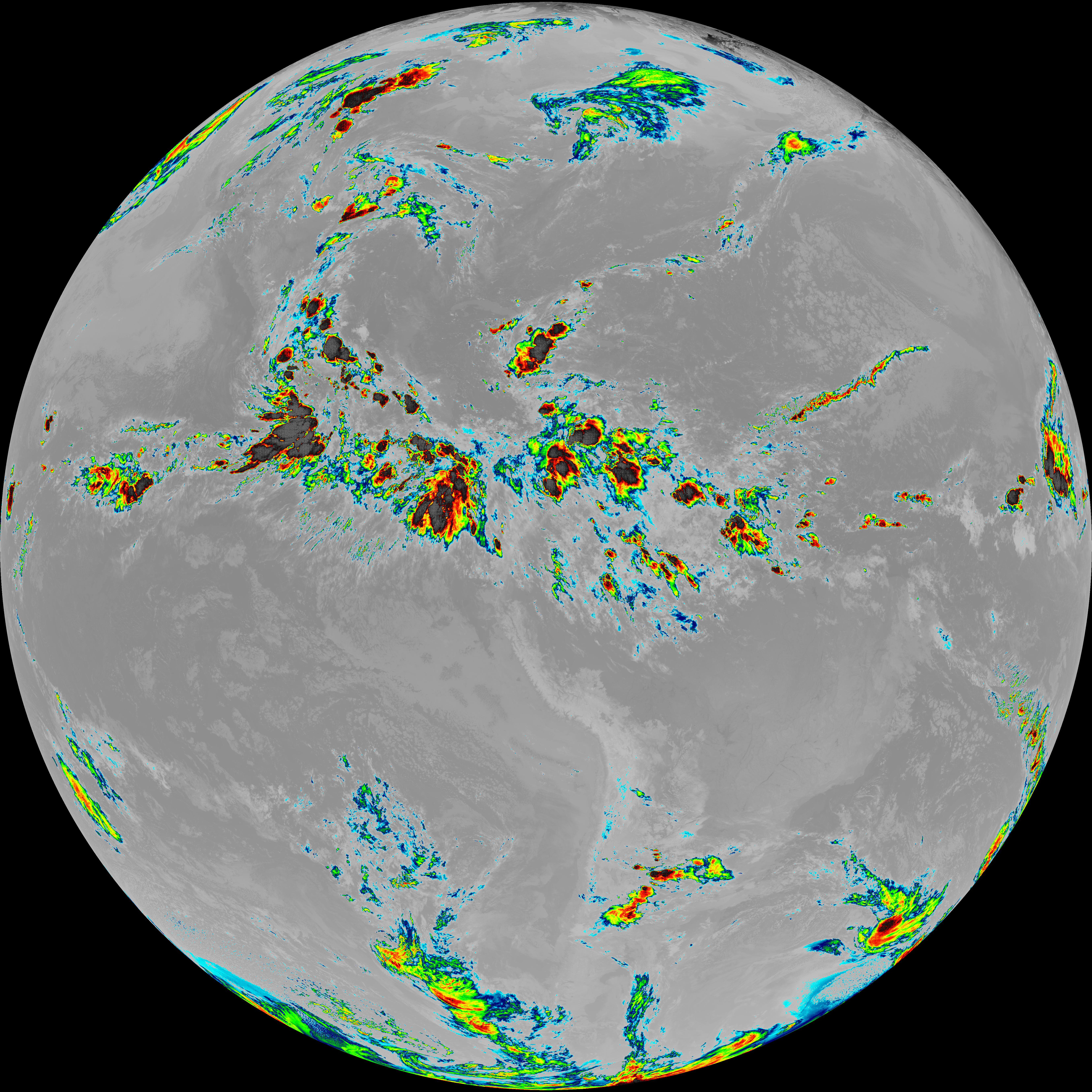
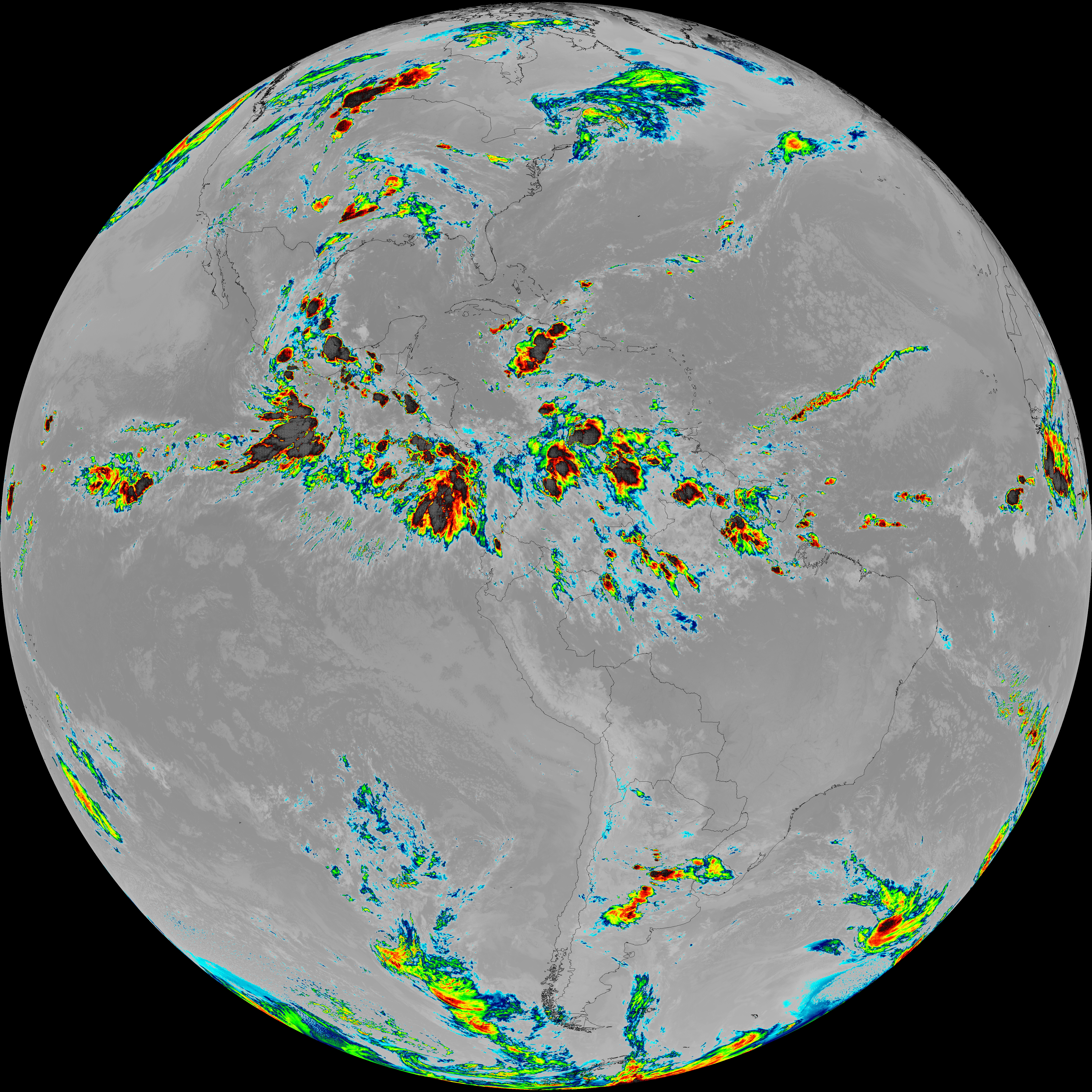
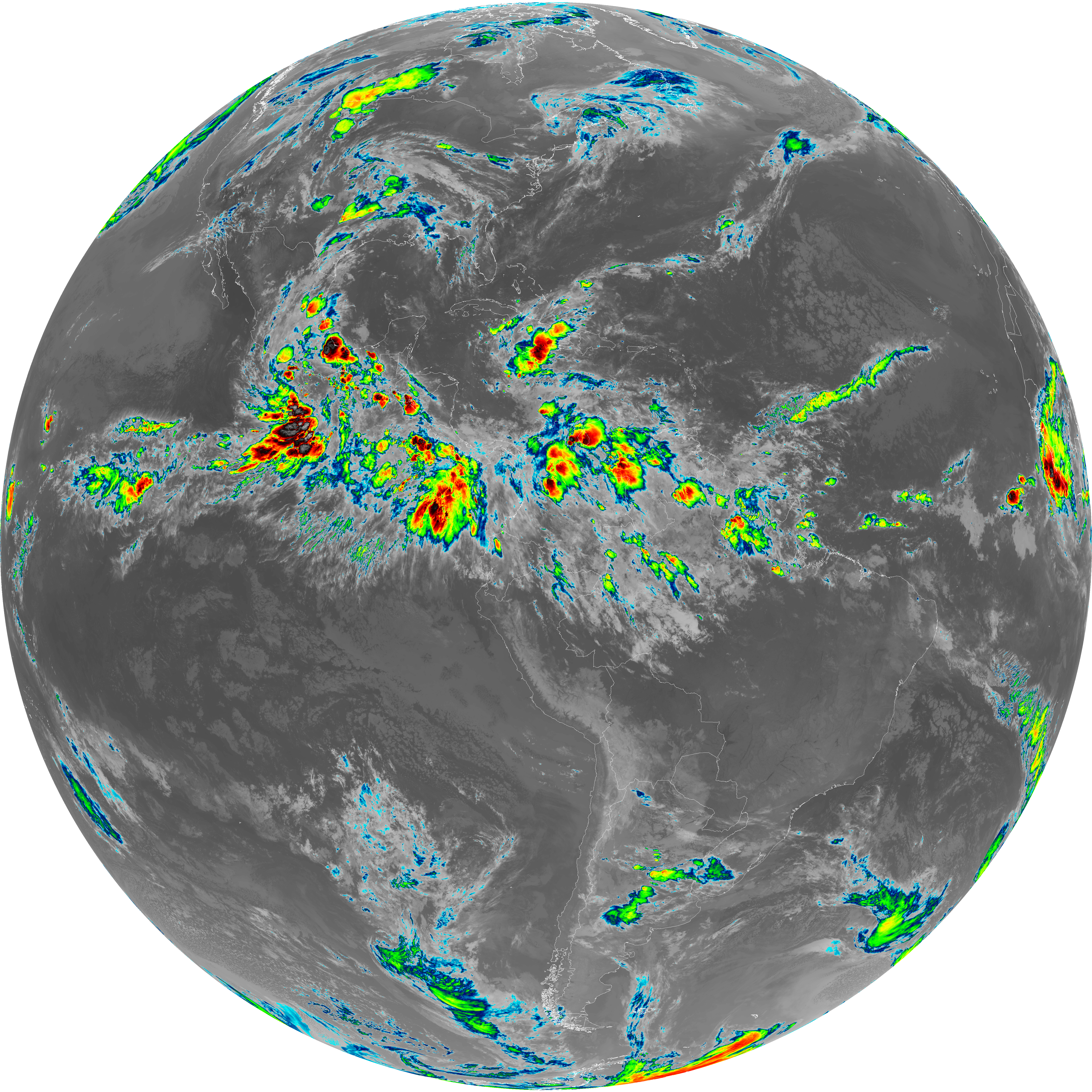
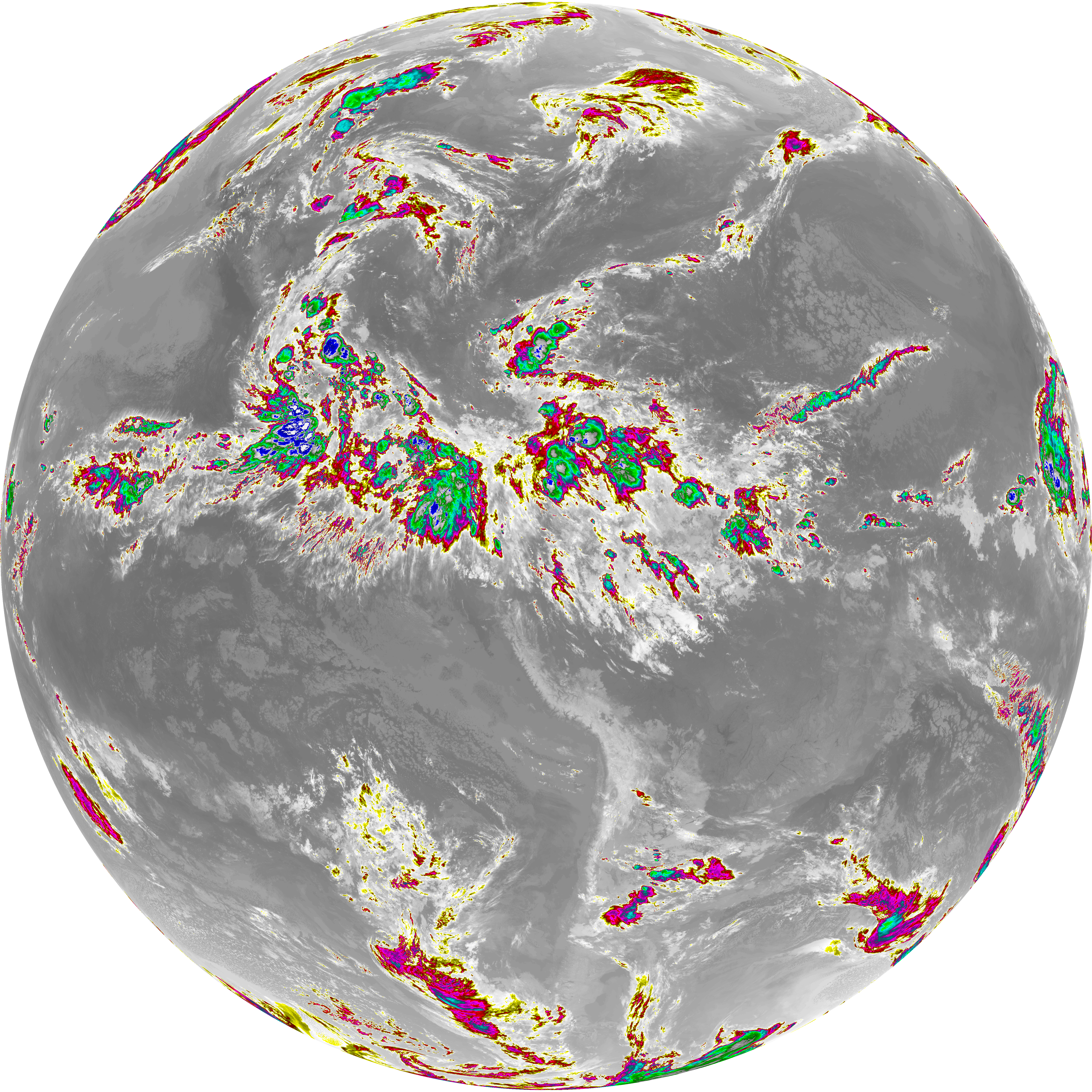
| abi_rgb_Clean_Longwave_IR_Window_Band_map.png | 13937126 | 2026-Jun-07 05:46 |
| G19_8_20260607T053021Z.png | 5644616 | 2026-Jun-07 05:48 |
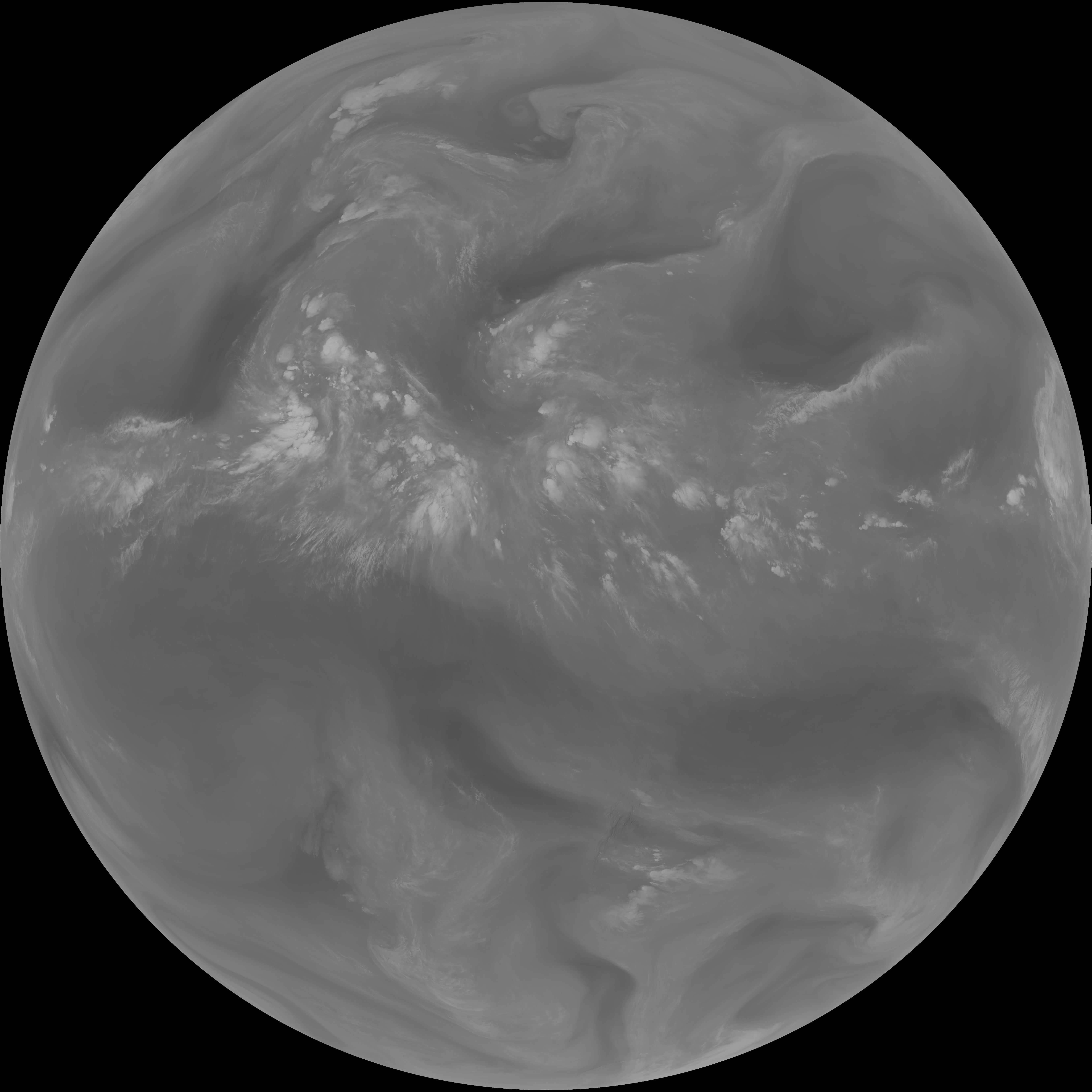
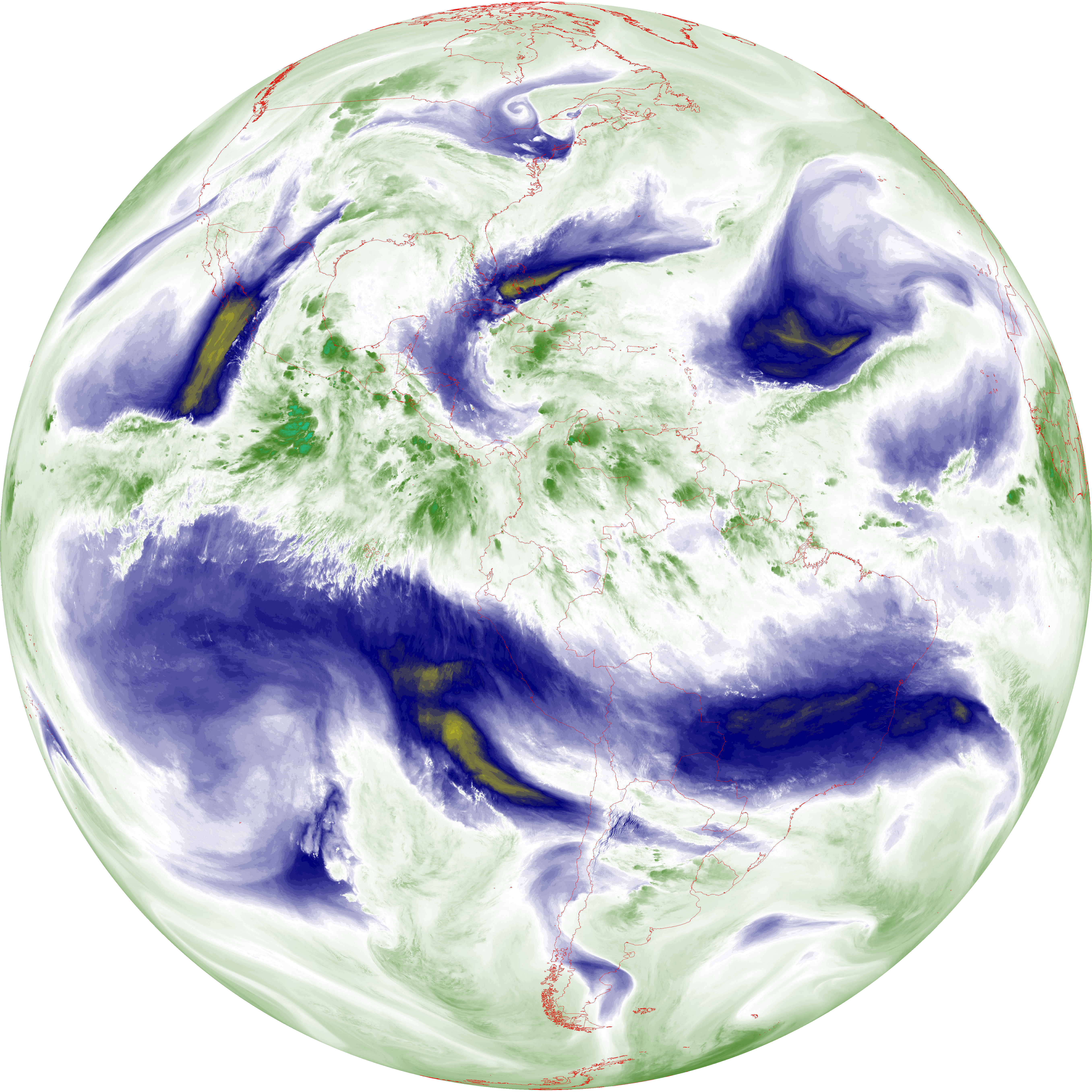
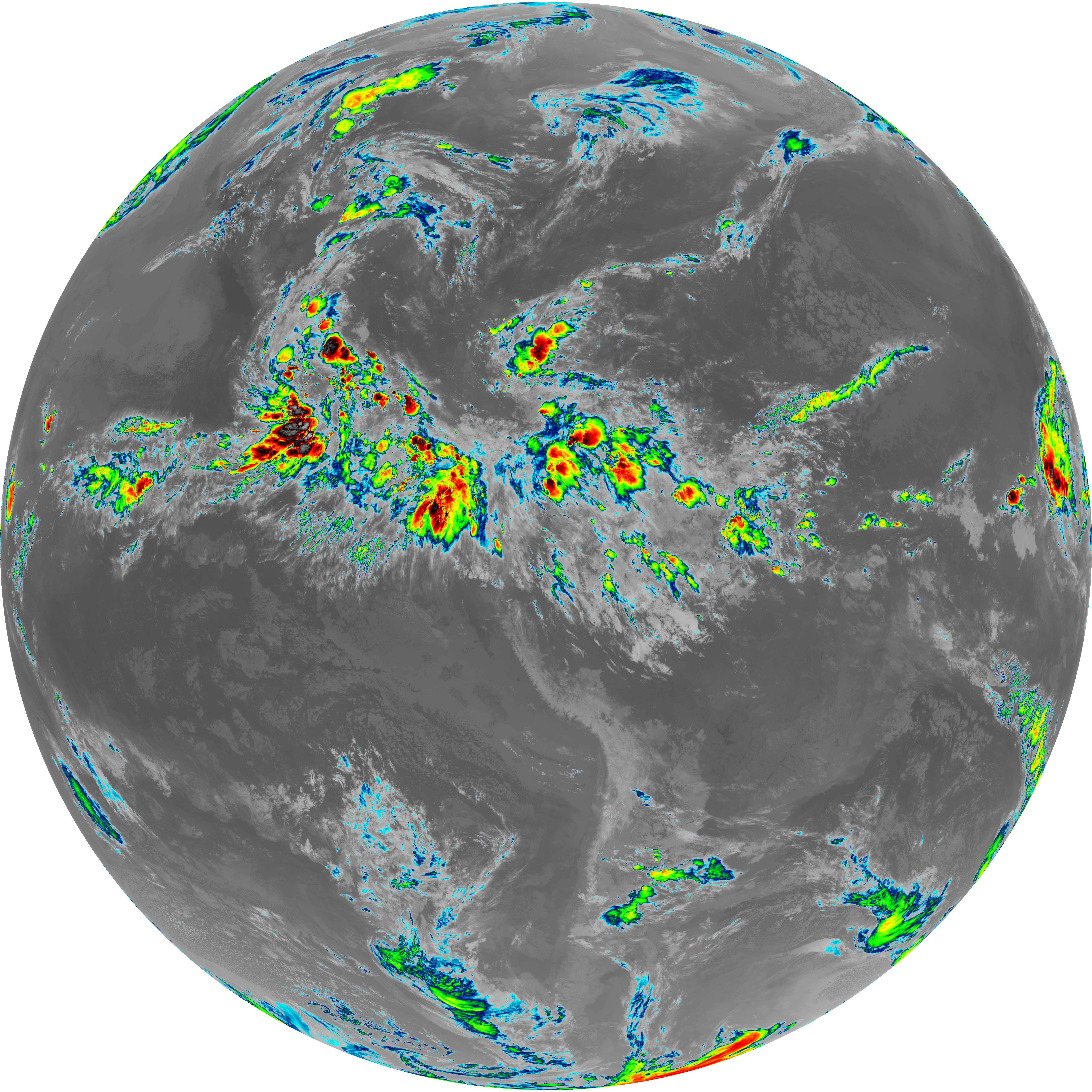
| abi_rgb_Upper-Level_Tropospheric_Water_Vapor.png | 7531900 | 2026-Jun-07 05:48 |
| abi_rgb_Upper-Level_Tropospheric_Water_Vapor_map.png | 7641402 | 2026-Jun-07 05:48 |
| G19_9_20260607T053021Z.png | 6536233 | 2026-Jun-07 05:50 |
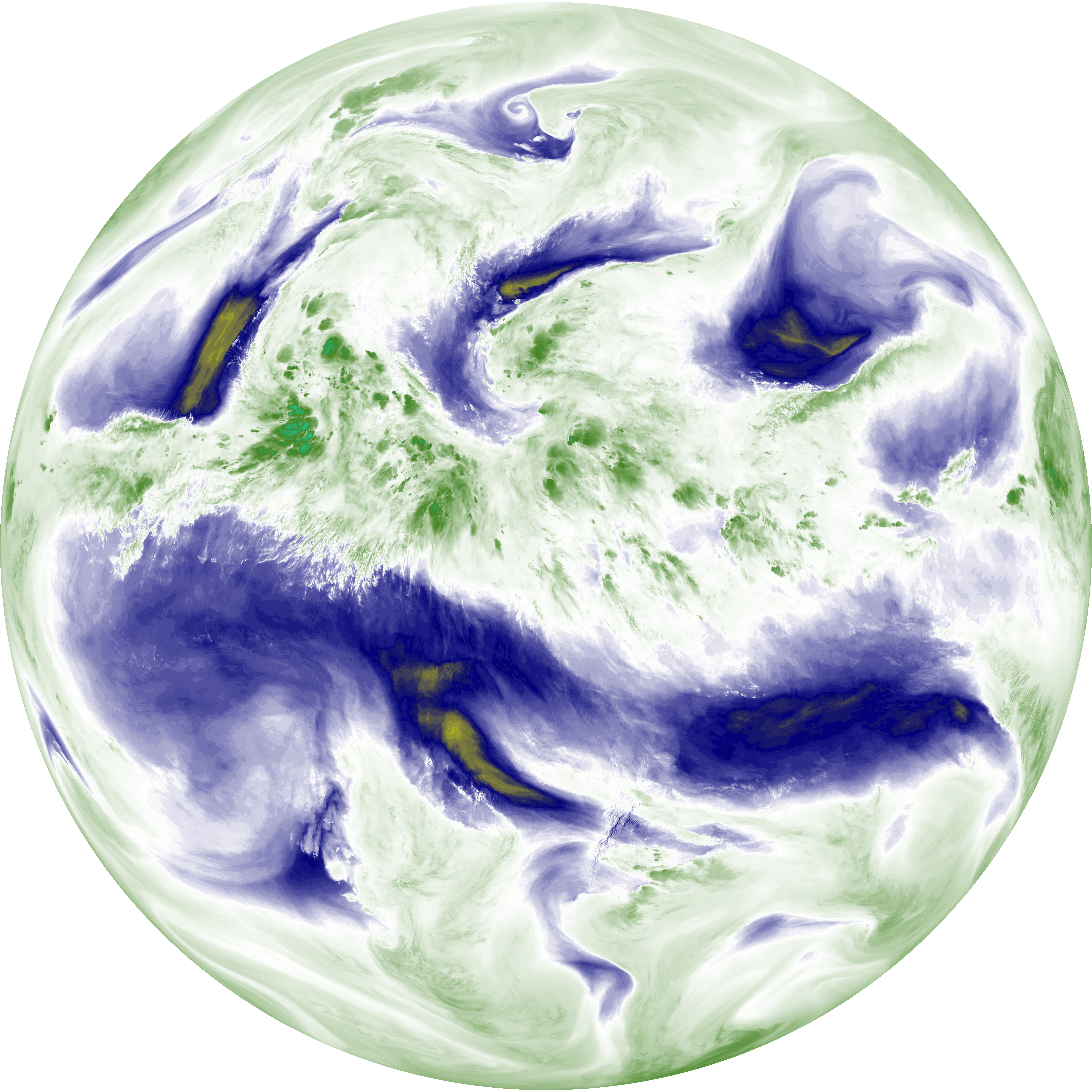
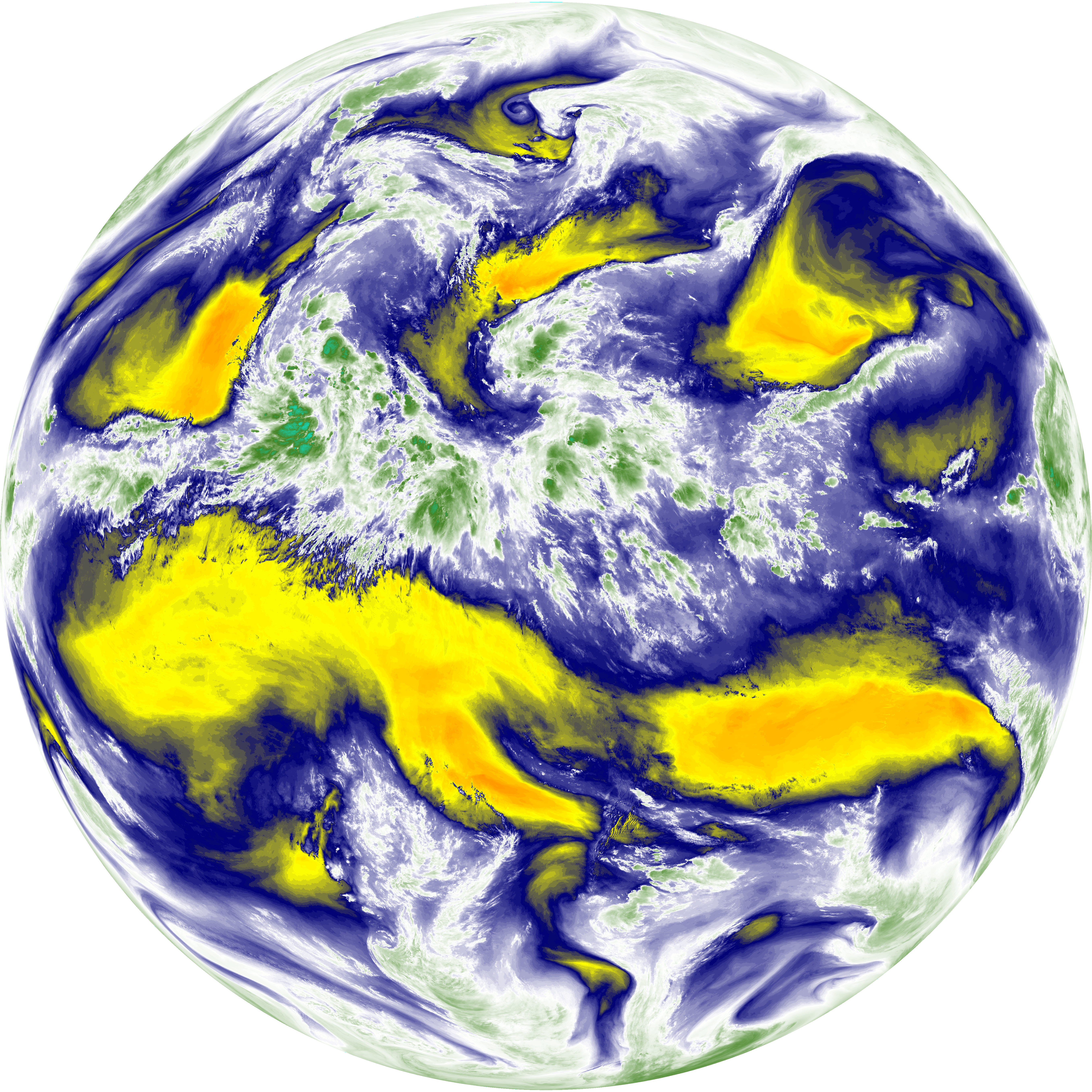
| abi_rgb_Mid-level_Tropospheric_Water_Vapor.png | 8766339 | 2026-Jun-07 05:50 |
| abi_rgb_Mid-level_Tropospheric_Water_Vapor_map.png | 8865837 | 2026-Jun-07 05:50 |
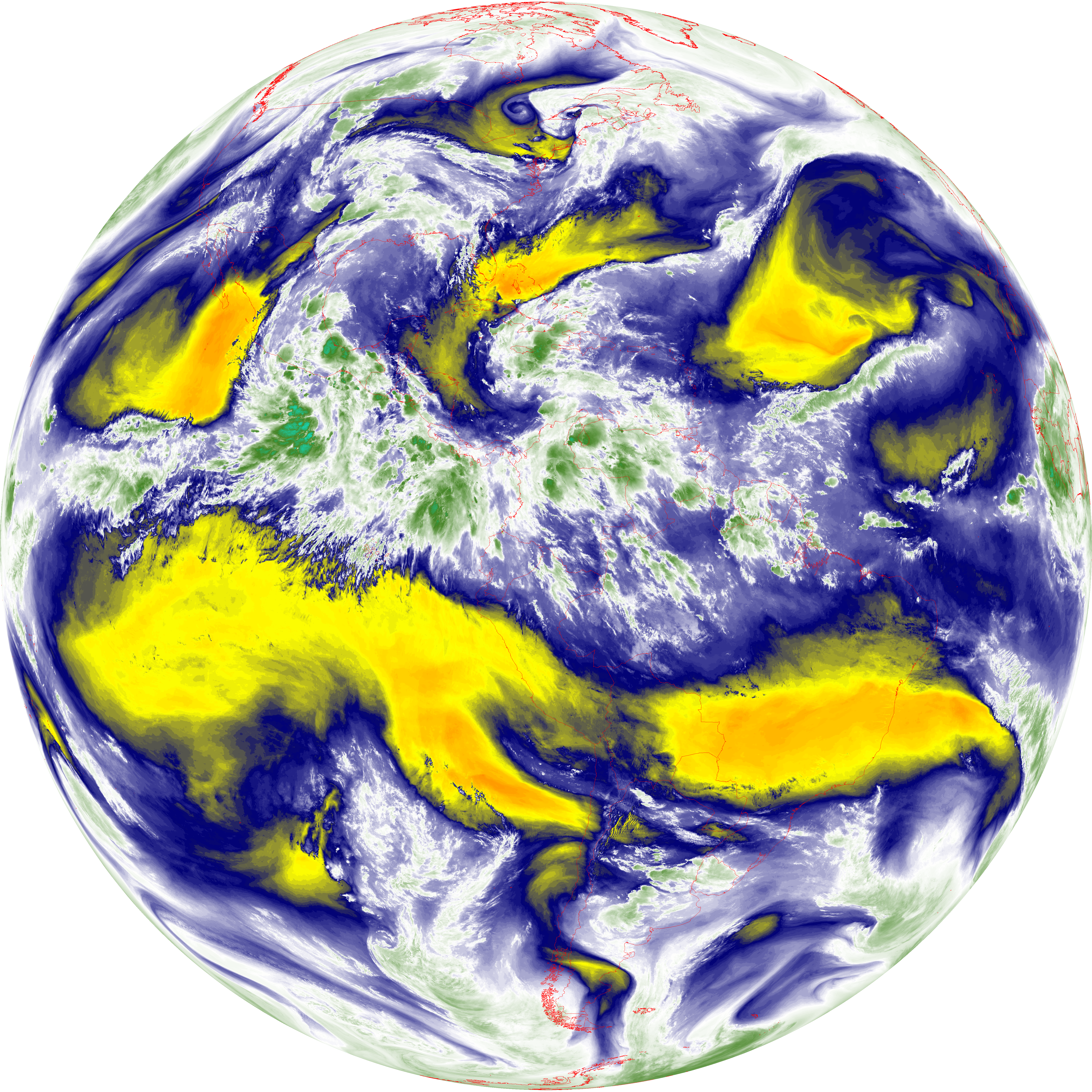
| G19_14_20260607T053021Z.png | 10491201 | 2026-Jun-07 05:53 |
| abi_rgb_Infrared_Longwave_Window_Band.png | 14070137 | 2026-Jun-07 05:53 |
| abi_rgb_Infrared_Longwave_Window_Band_map.png | 14114365 | 2026-Jun-07 05:53 |
| G19_15_20260607T053021Z.png | 10223303 | 2026-Jun-07 05:56 |
| abi_rgb_Dirty_Longwave_Window.png | 13750846 | 2026-Jun-07 05:56 |
| abi_rgb_Dirty_Longwave_Window_map.png | 13799812 | 2026-Jun-07 05:56 |
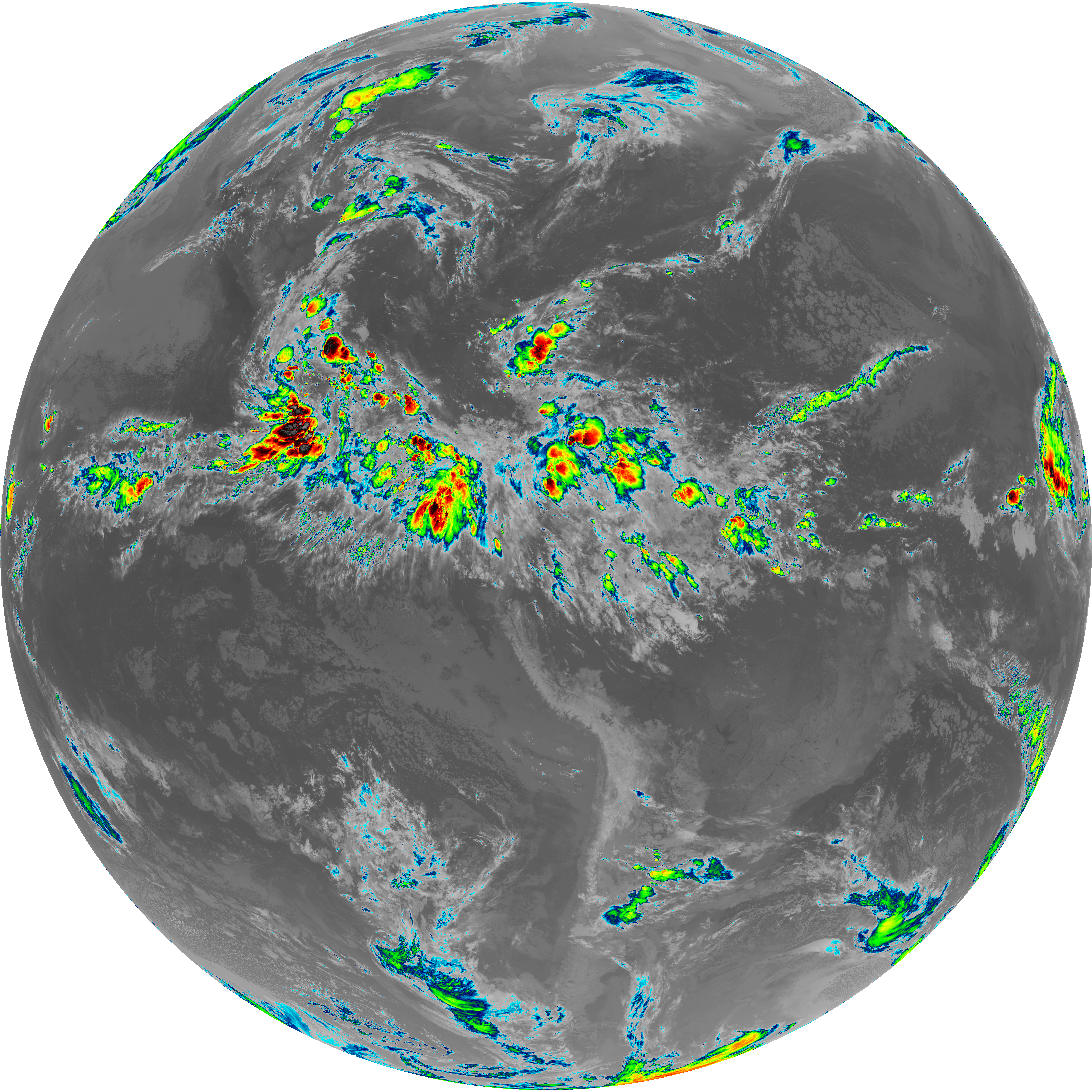
| abi_rgb_Dirty_Longwave_Window_-_CIRA.png | 12059490 | 2026-Jun-07 05:56 |
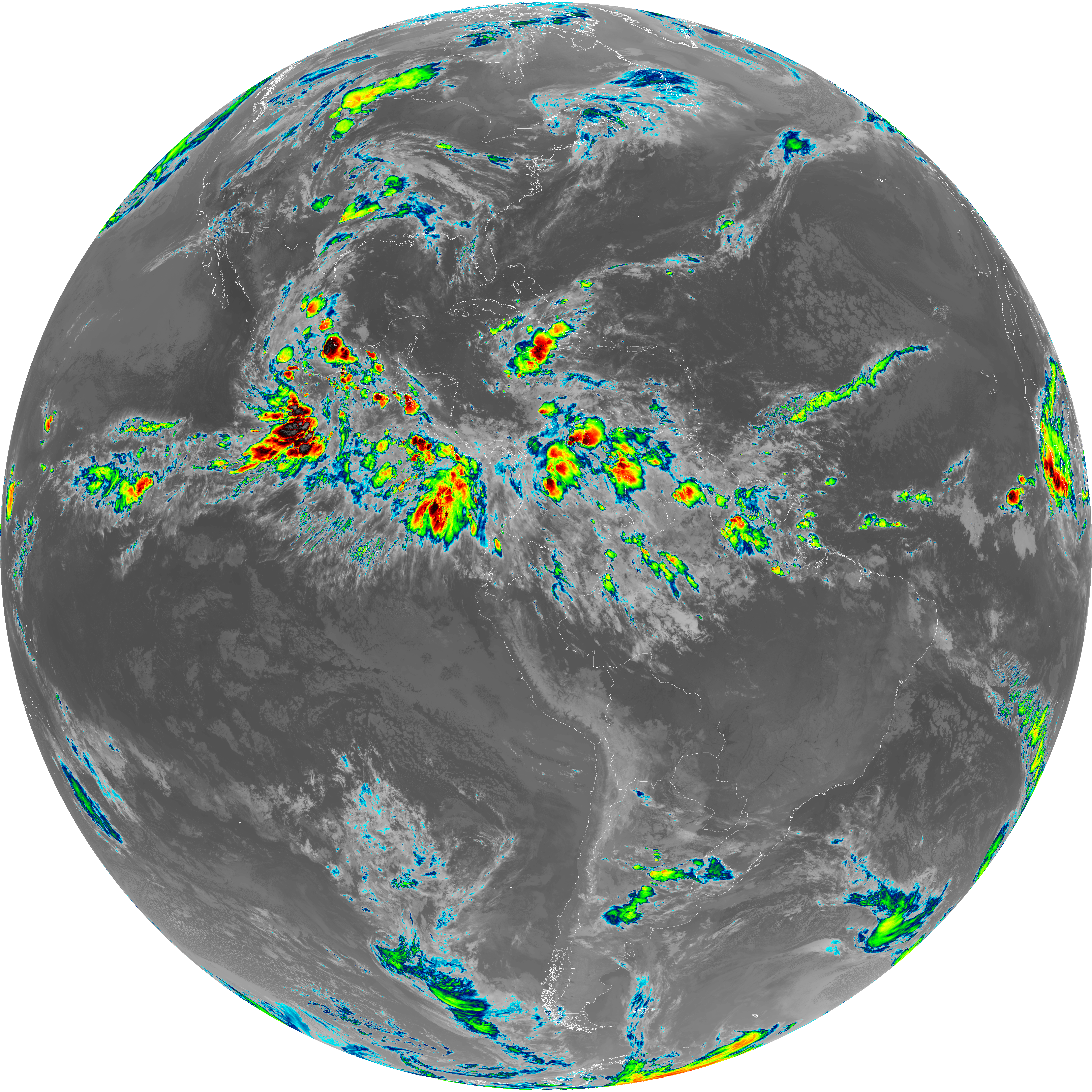
| abi_rgb_Dirty_Longwave_Window_-_CIRA_map.png | 12120080 | 2026-Jun-07 05:57 |