| Parent directory/ | - | - |
| abi_rgb_Upper-Level_Tropospheric_Water_Vapor_map.png | 7592715 | 2026-Jun-07 07:49 |
| abi_rgb_Upper-Level_Tropospheric_Water_Vapor.png | 7483689 | 2026-Jun-07 07:48 |
| abi_rgb_Shortwave_Window_Band_map.png | 15532129 | 2026-Jun-07 07:43 |
| abi_rgb_Shortwave_Window_Band.png | 15478566 | 2026-Jun-07 07:43 |
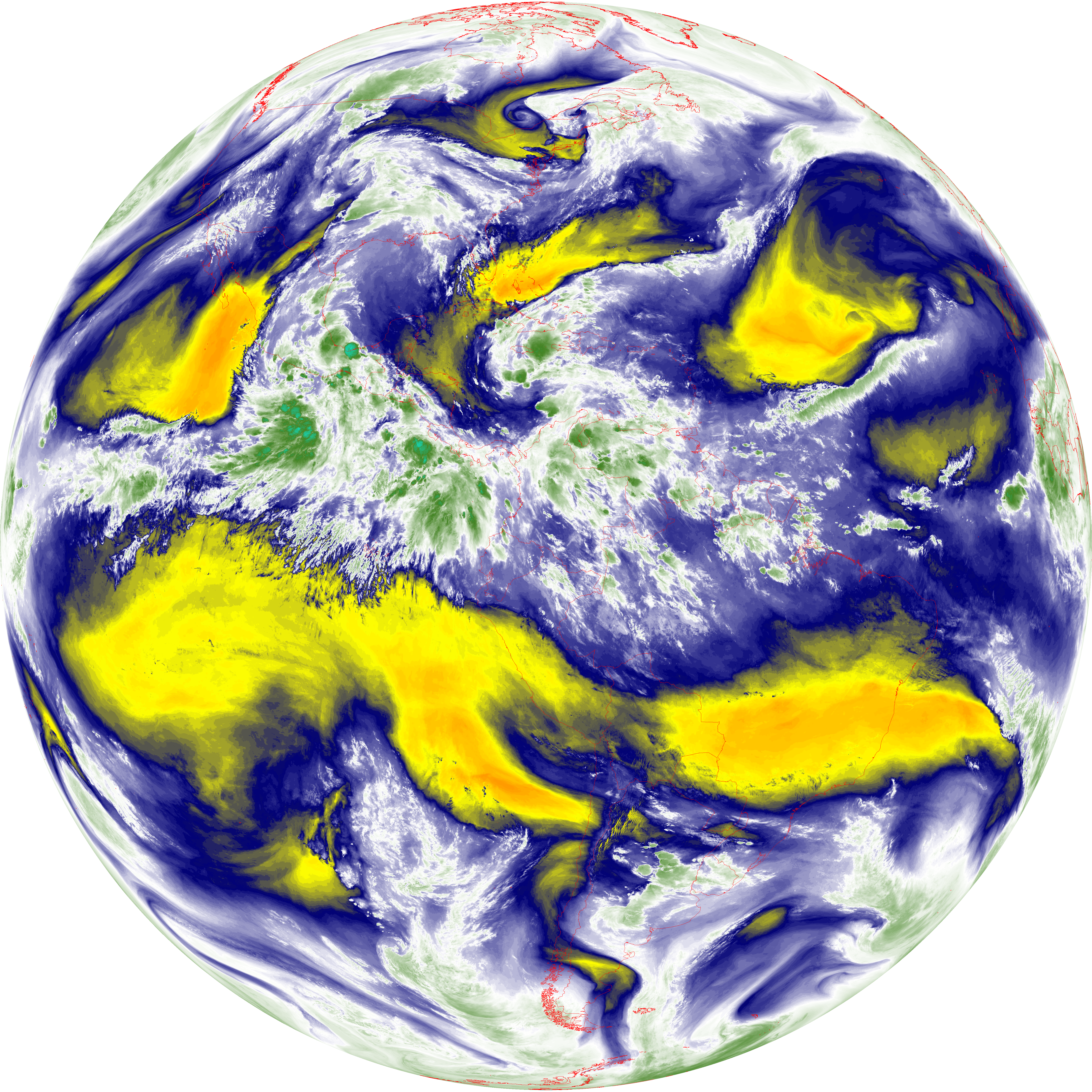
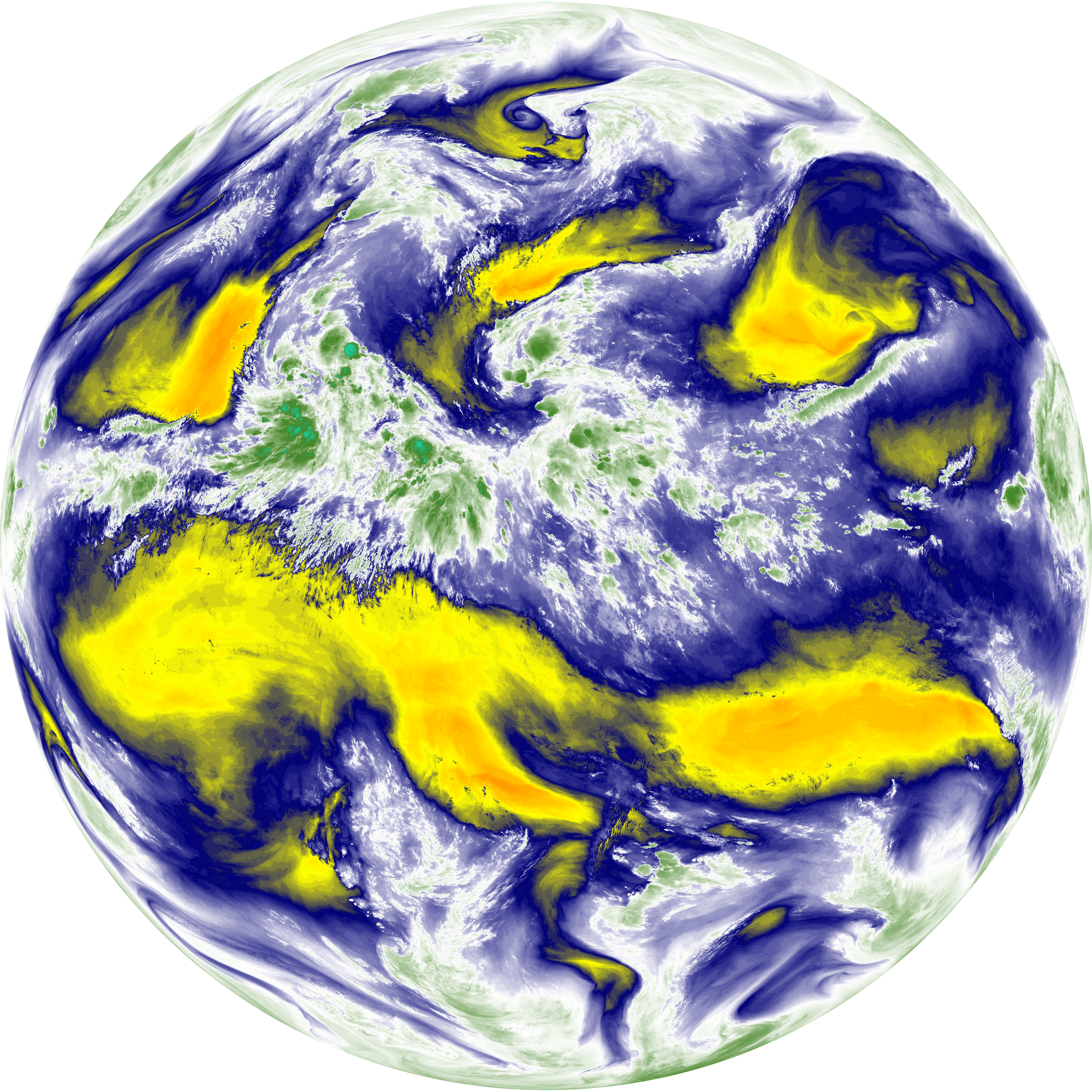
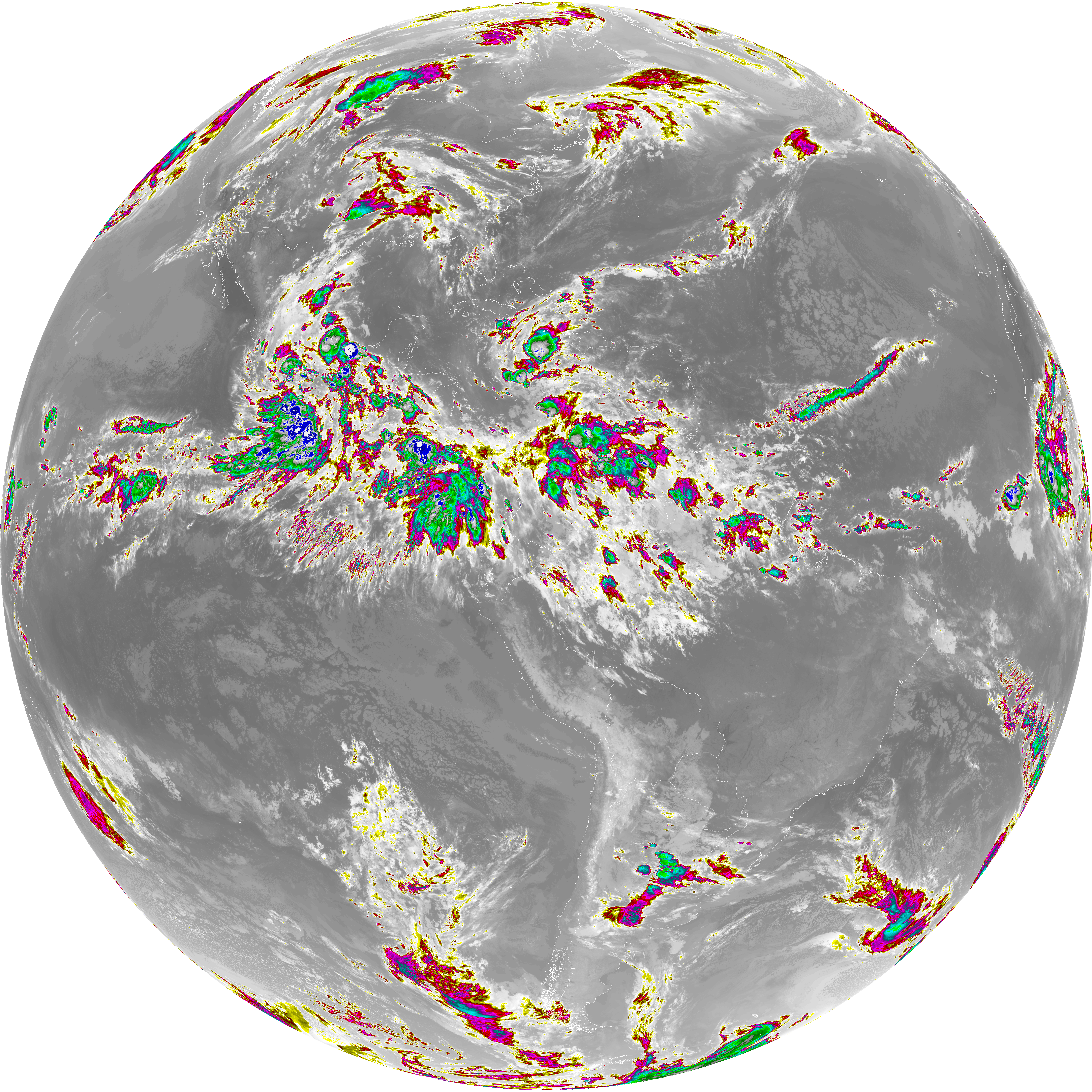
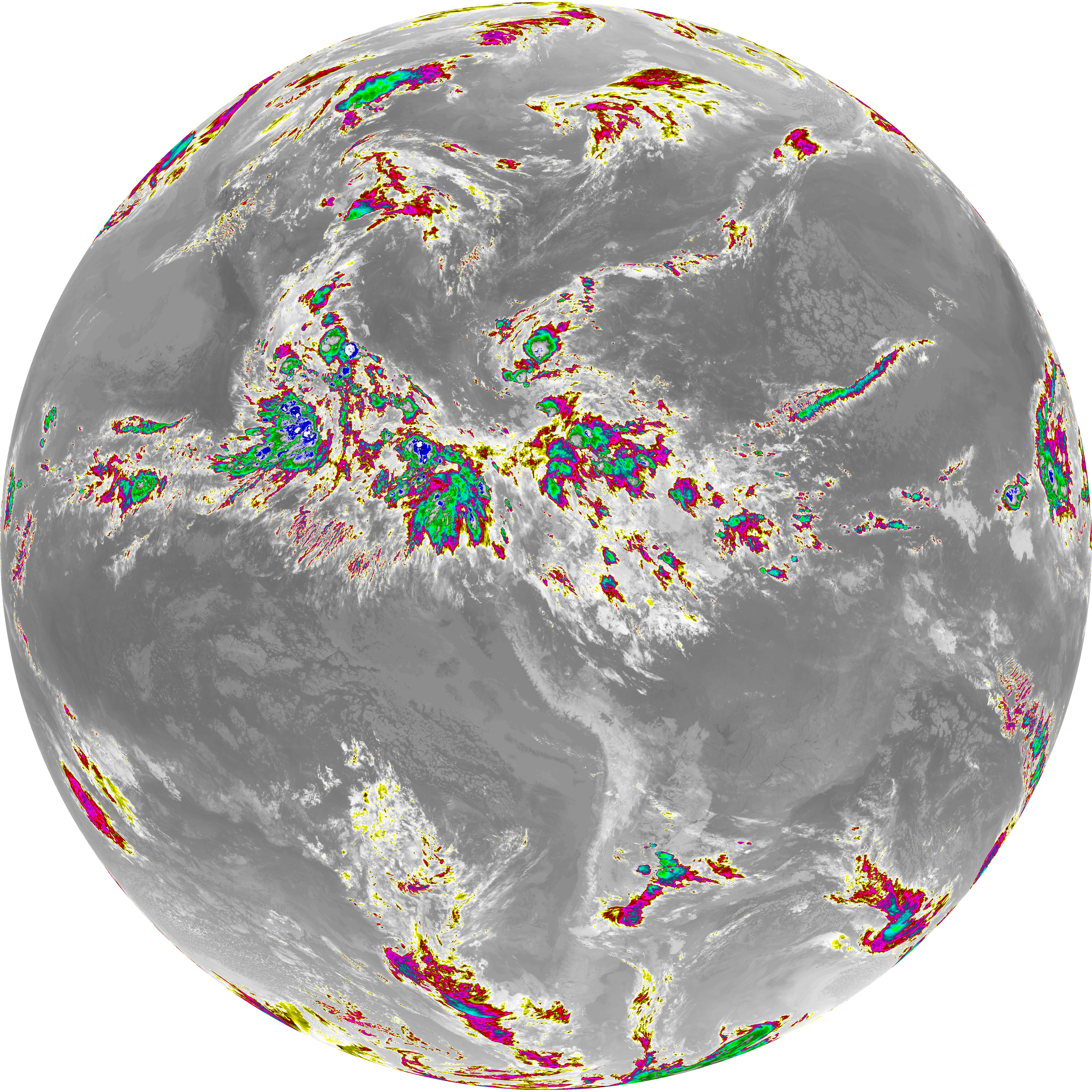
| abi_rgb_Mid-level_Tropospheric_Water_Vapor_map.png | 8813868 | 2026-Jun-07 07:51 |
| abi_rgb_Mid-level_Tropospheric_Water_Vapor.png | 8715181 | 2026-Jun-07 07:50 |
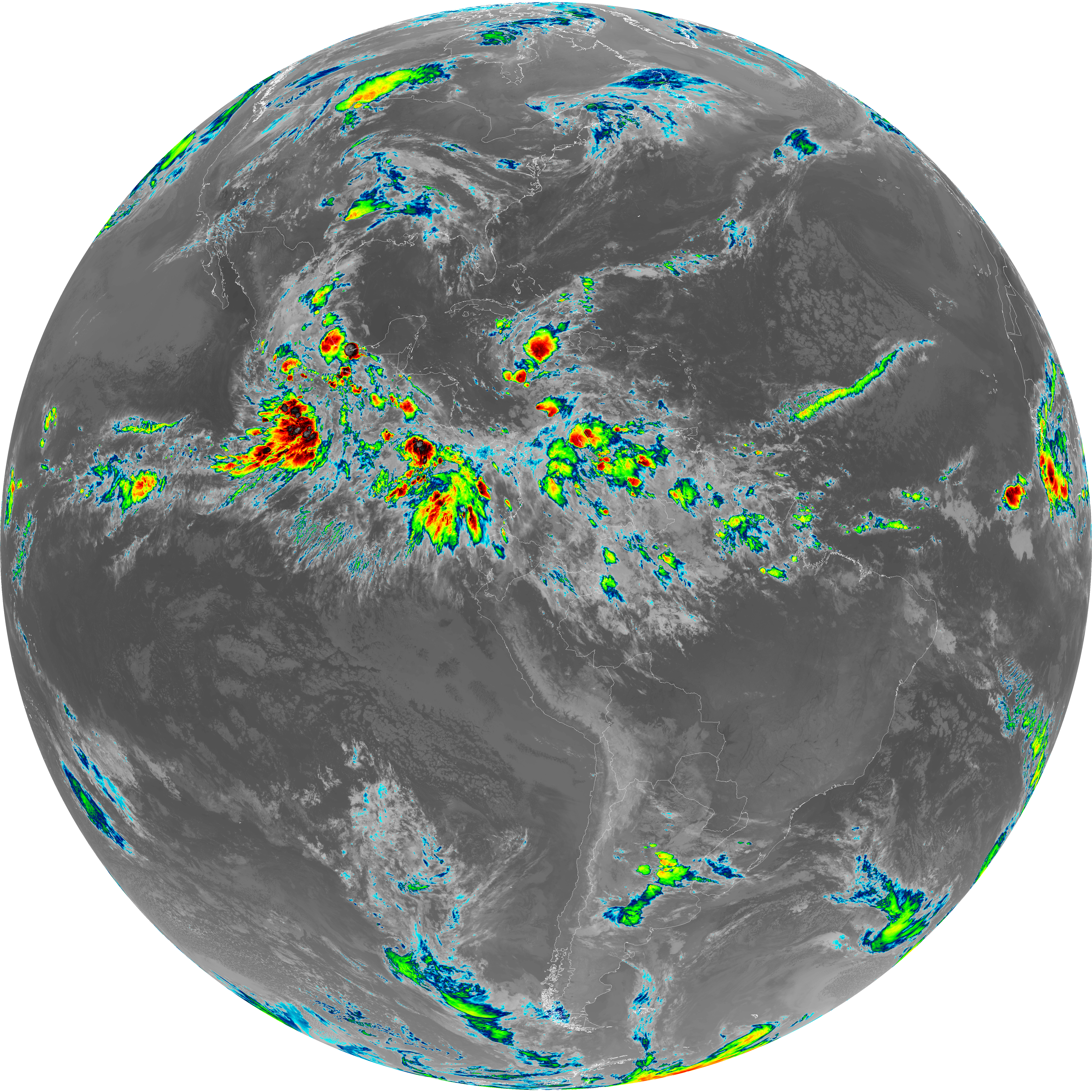
| abi_rgb_Infrared_Longwave_Window_Band_map.png | 14090977 | 2026-Jun-07 07:54 |
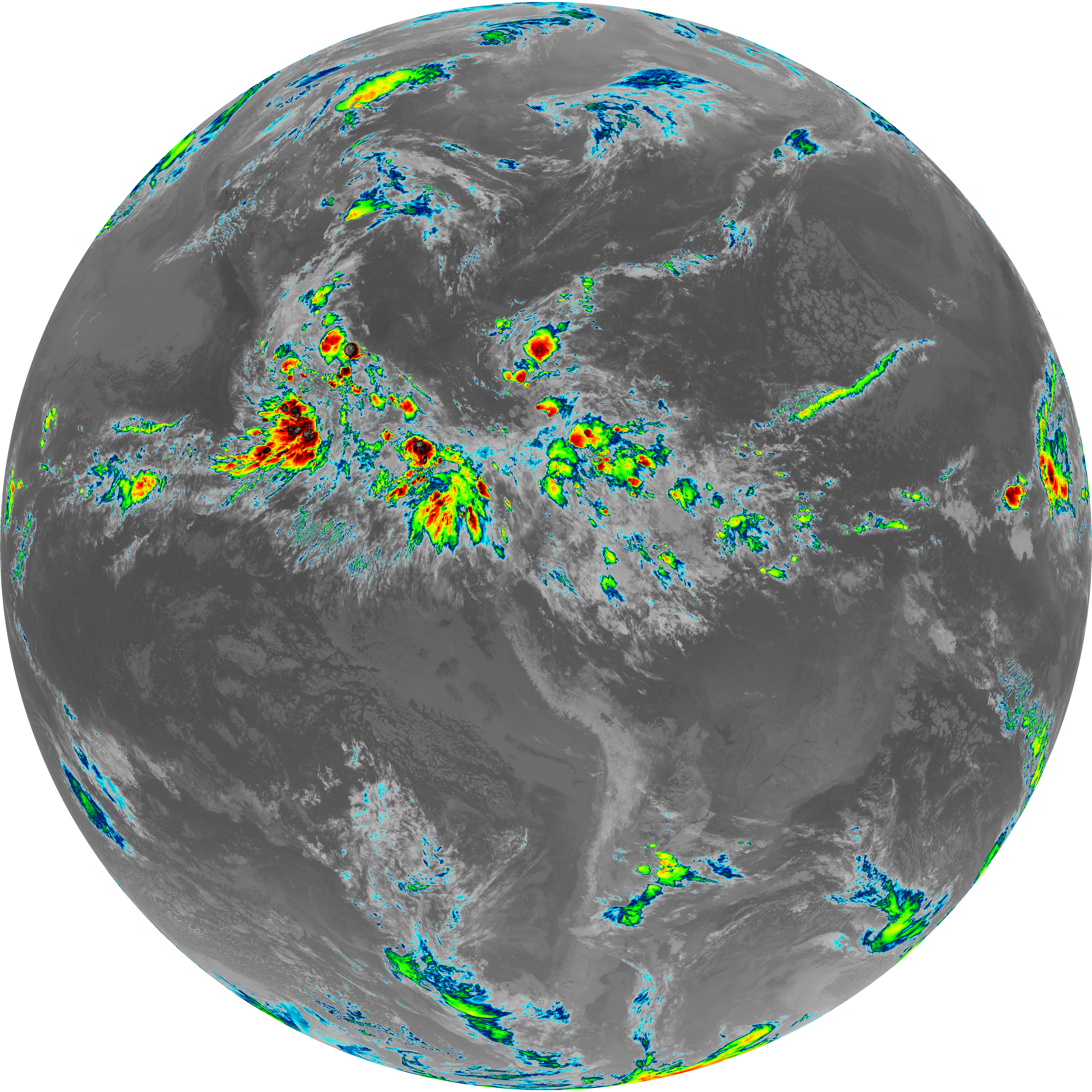
| abi_rgb_Infrared_Longwave_Window_Band.png | 14045411 | 2026-Jun-07 07:54 |
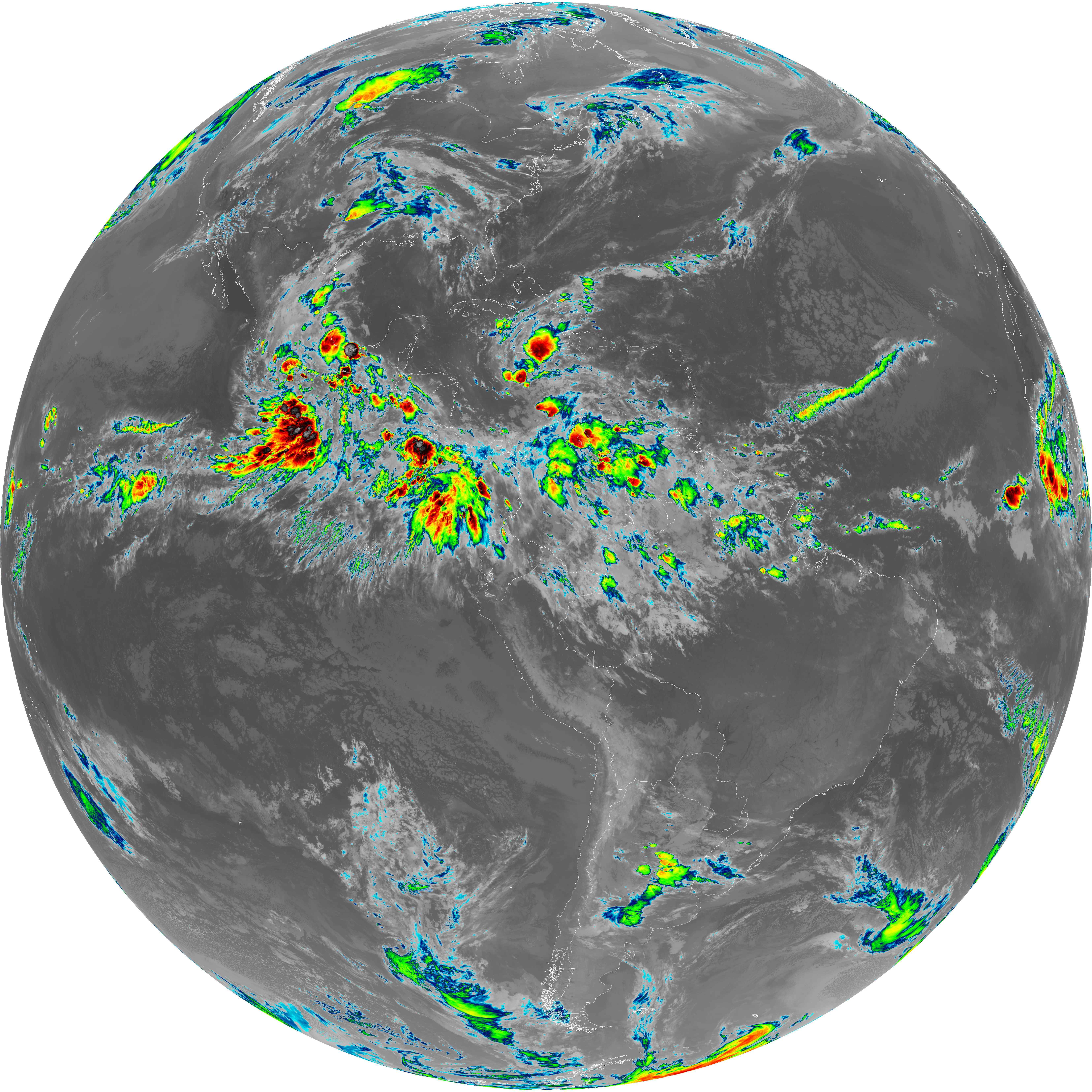
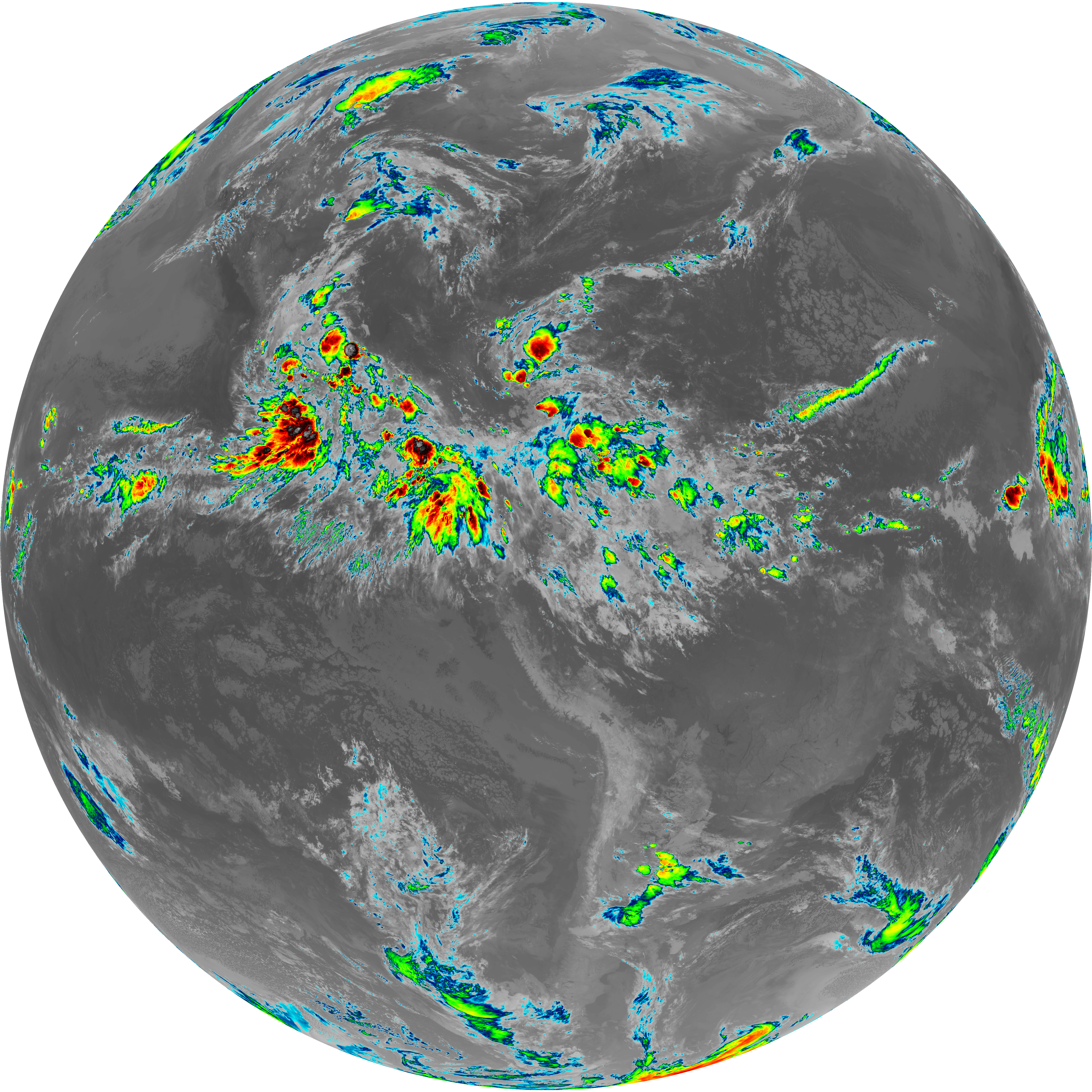
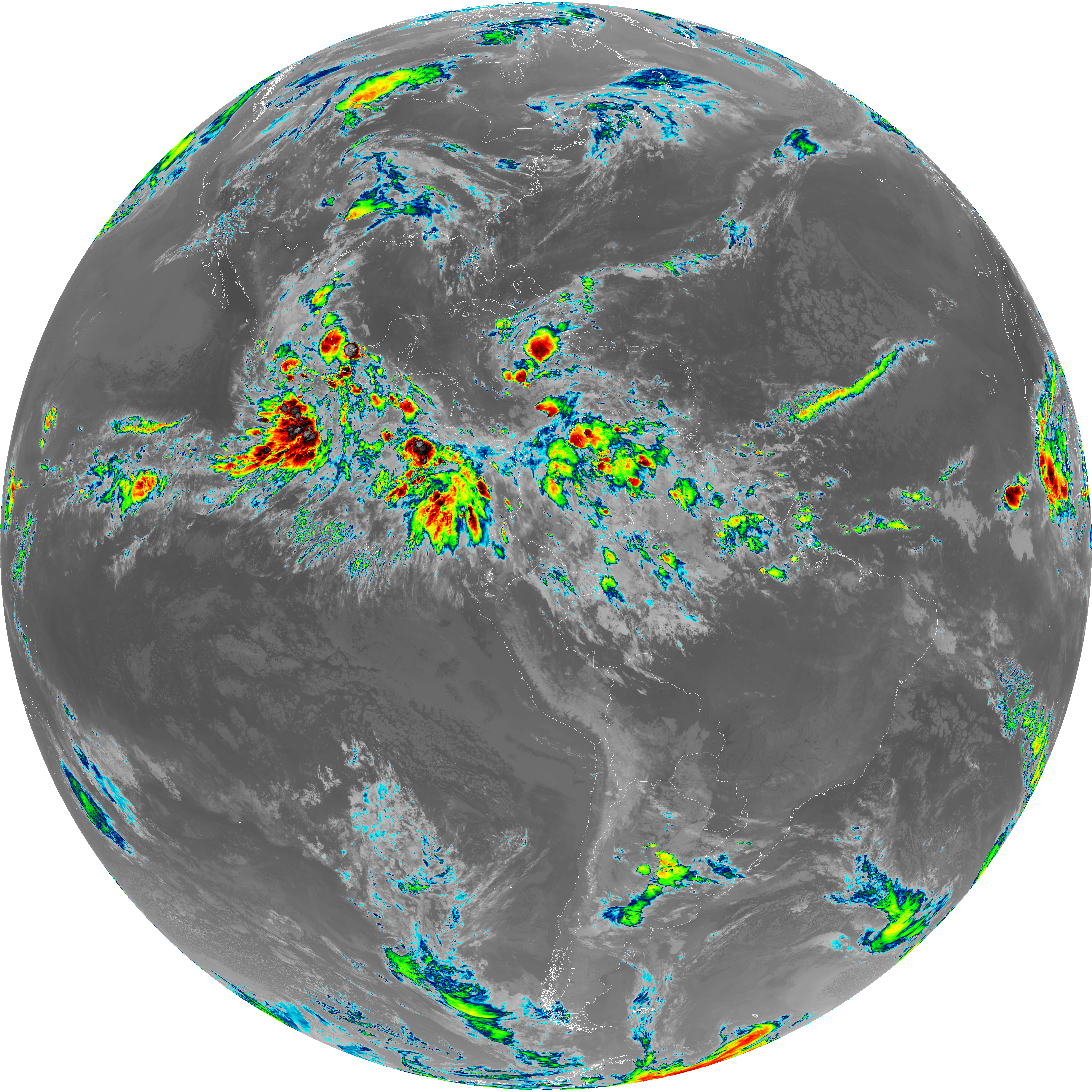
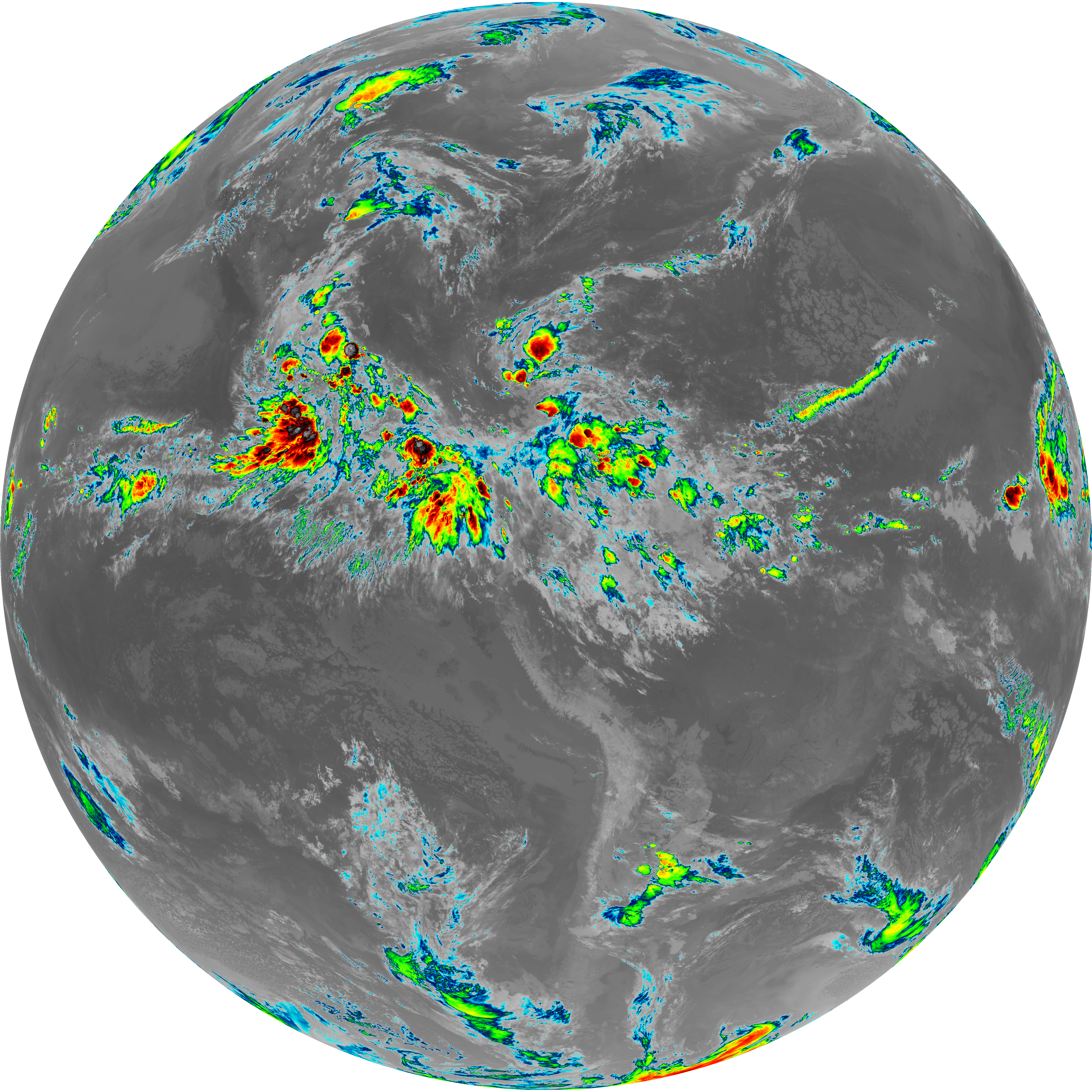
| abi_rgb_Dirty_Longwave_Window_map.png | 13783704 | 2026-Jun-07 07:57 |
| abi_rgb_Dirty_Longwave_Window_-_CIRA_map.png | 12071144 | 2026-Jun-07 07:57 |
| abi_rgb_Dirty_Longwave_Window_-_CIRA.png | 12010100 | 2026-Jun-07 07:57 |
| abi_rgb_Dirty_Longwave_Window.png | 13733680 | 2026-Jun-07 07:57 |
| abi_rgb_Clean_Longwave_IR_Window_Band_map.png | 13912918 | 2026-Jun-07 07:46 |
| abi_rgb_Clean_Longwave_IR_Window_Band.png | 13865744 | 2026-Jun-07 07:46 |
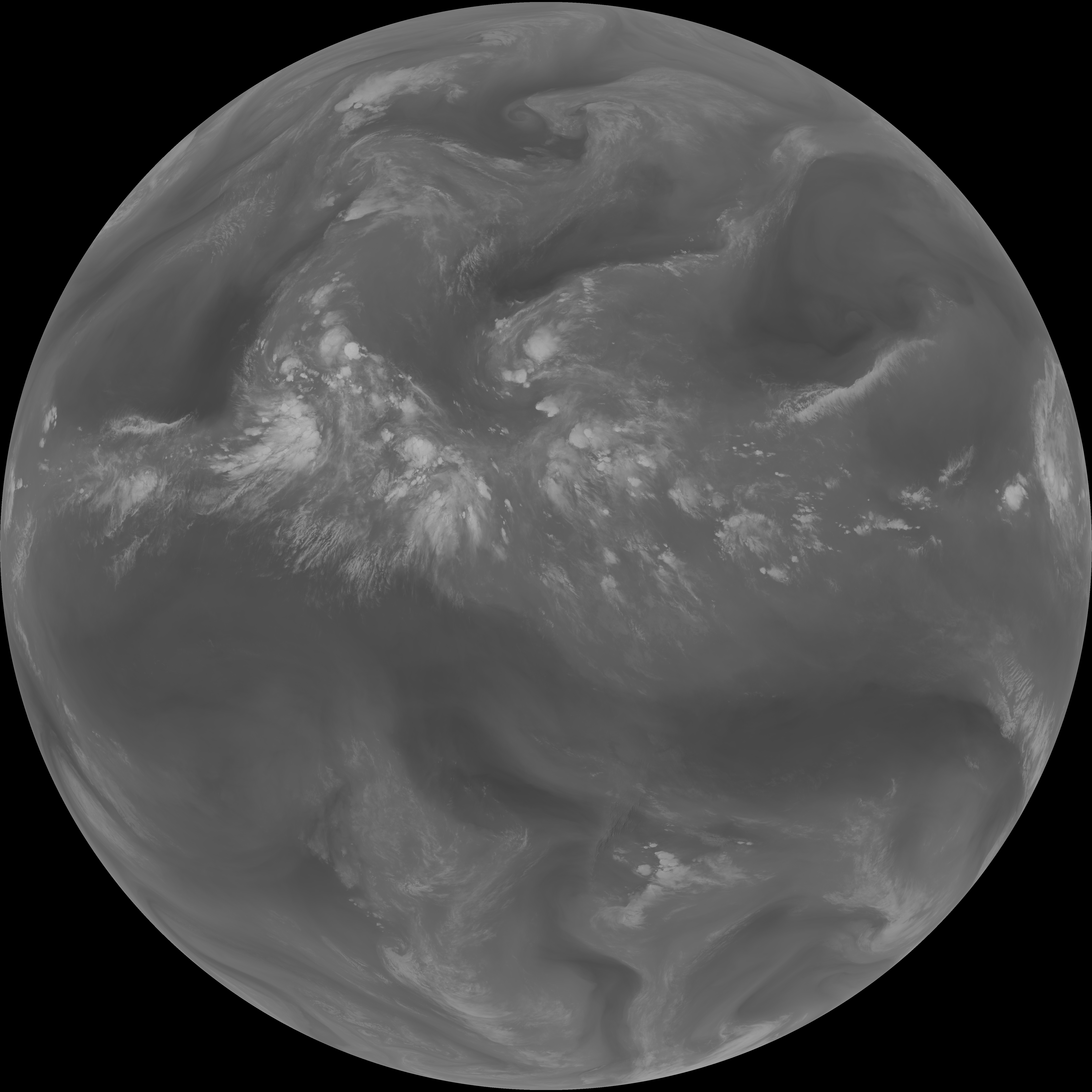
| G19_9_20260607T073021Z.png | 6501016 | 2026-Jun-07 07:50 |
| G19_8_20260607T073021Z.png | 5610520 | 2026-Jun-07 07:48 |
| G19_7_20260607T073021Z.png | 11342047 | 2026-Jun-07 07:43 |
| G19_2_20260607T073021Z.png | 1837140 | 2026-Jun-07 07:46 |
| G19_15_20260607T073021Z.png | 10211406 | 2026-Jun-07 07:56 |
| G19_14_20260607T073021Z.png | 10472711 | 2026-Jun-07 07:53 |
| G19_13_20260607T073021Z.png | 10314952 | 2026-Jun-07 07:46 |