| Parent directory/ | - | - |
| G19_7_20260607T080021Z.png | 11311072 | 2026-Jun-07 08:13 |
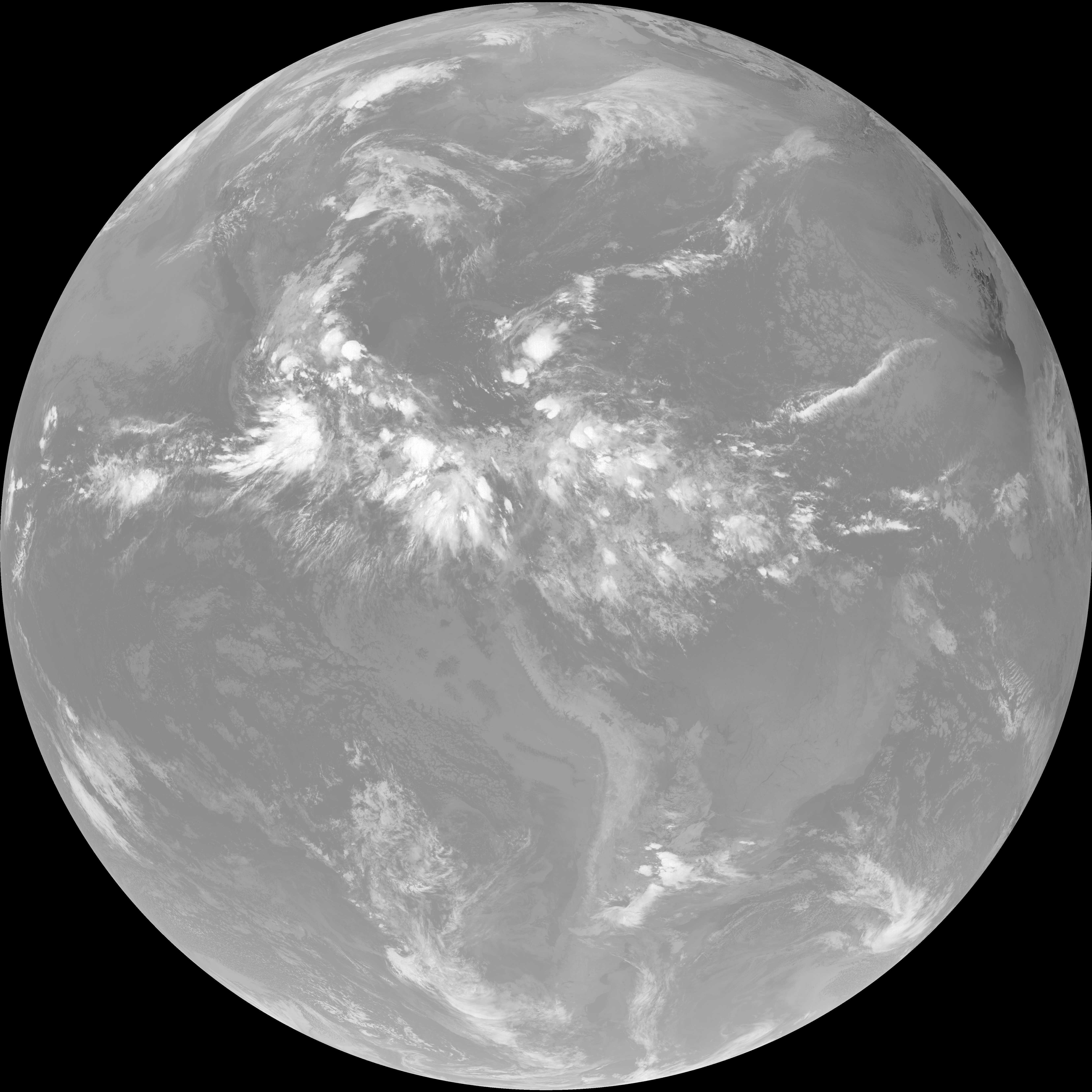
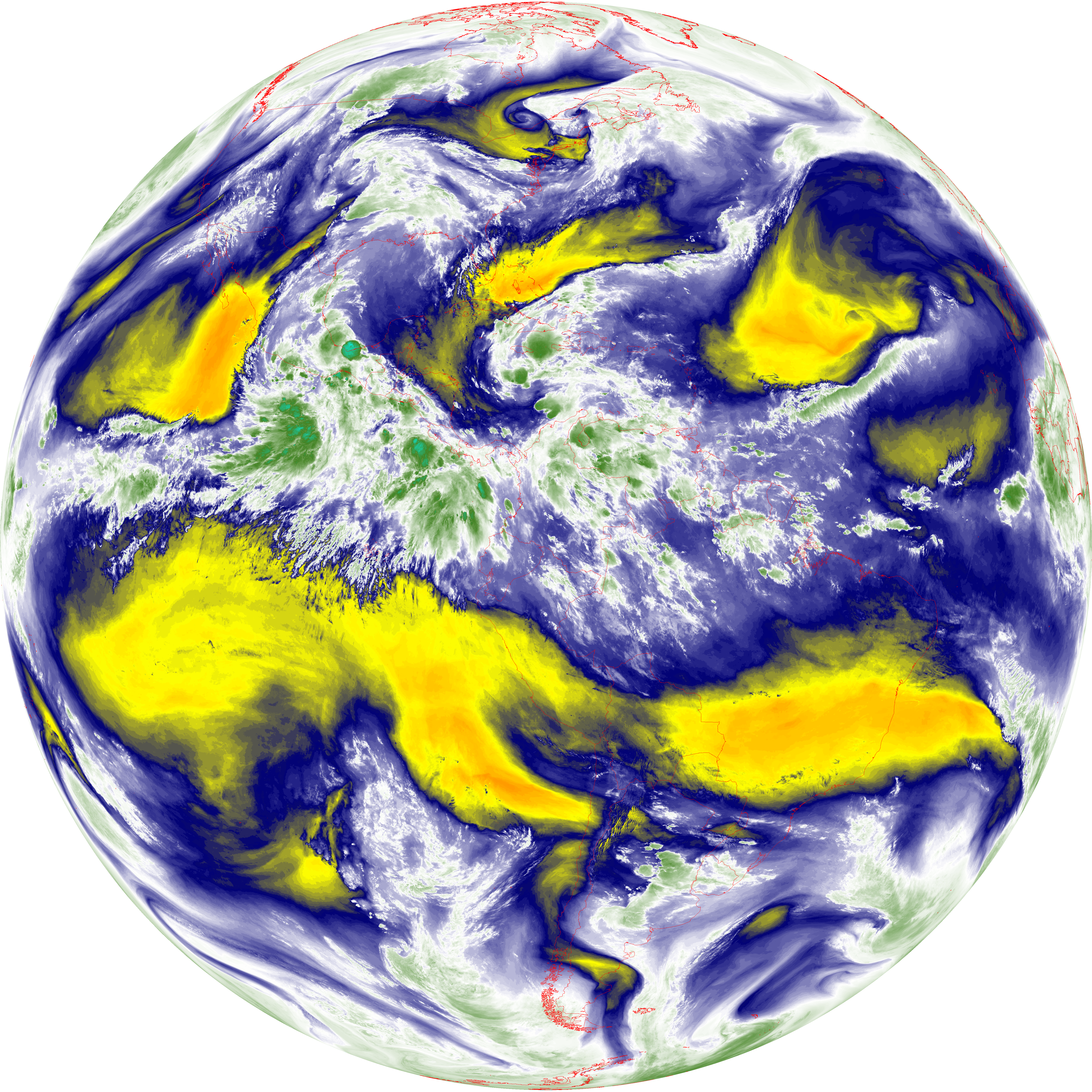
| abi_rgb_Shortwave_Window_Band.png | 15378798 | 2026-Jun-07 08:13 |
| abi_rgb_Shortwave_Window_Band_map.png | 15433607 | 2026-Jun-07 08:13 |
| G19_13_20260607T080021Z.png | 10313321 | 2026-Jun-07 08:16 |
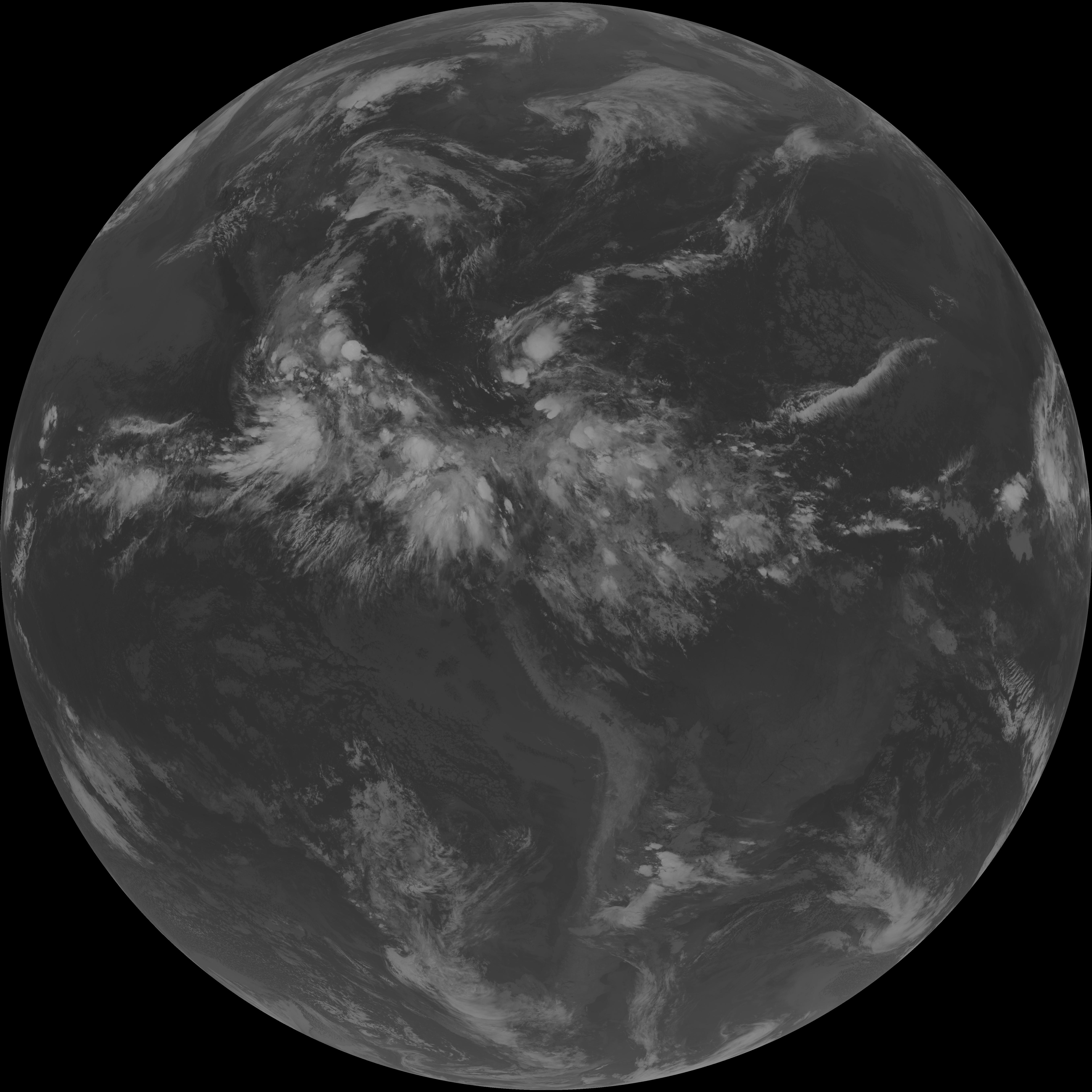
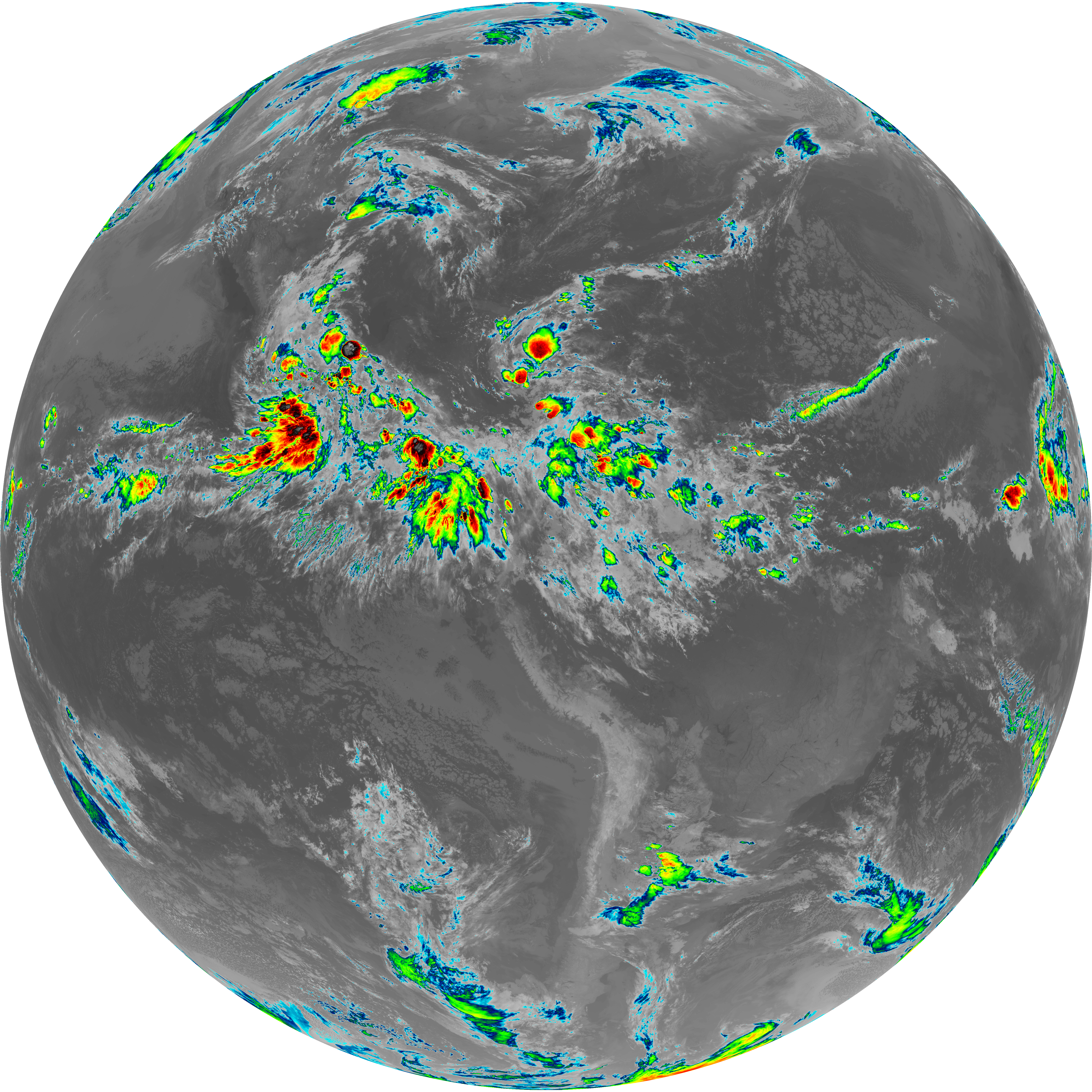
| abi_rgb_Clean_Longwave_IR_Window_Band.png | 13865078 | 2026-Jun-07 08:16 |
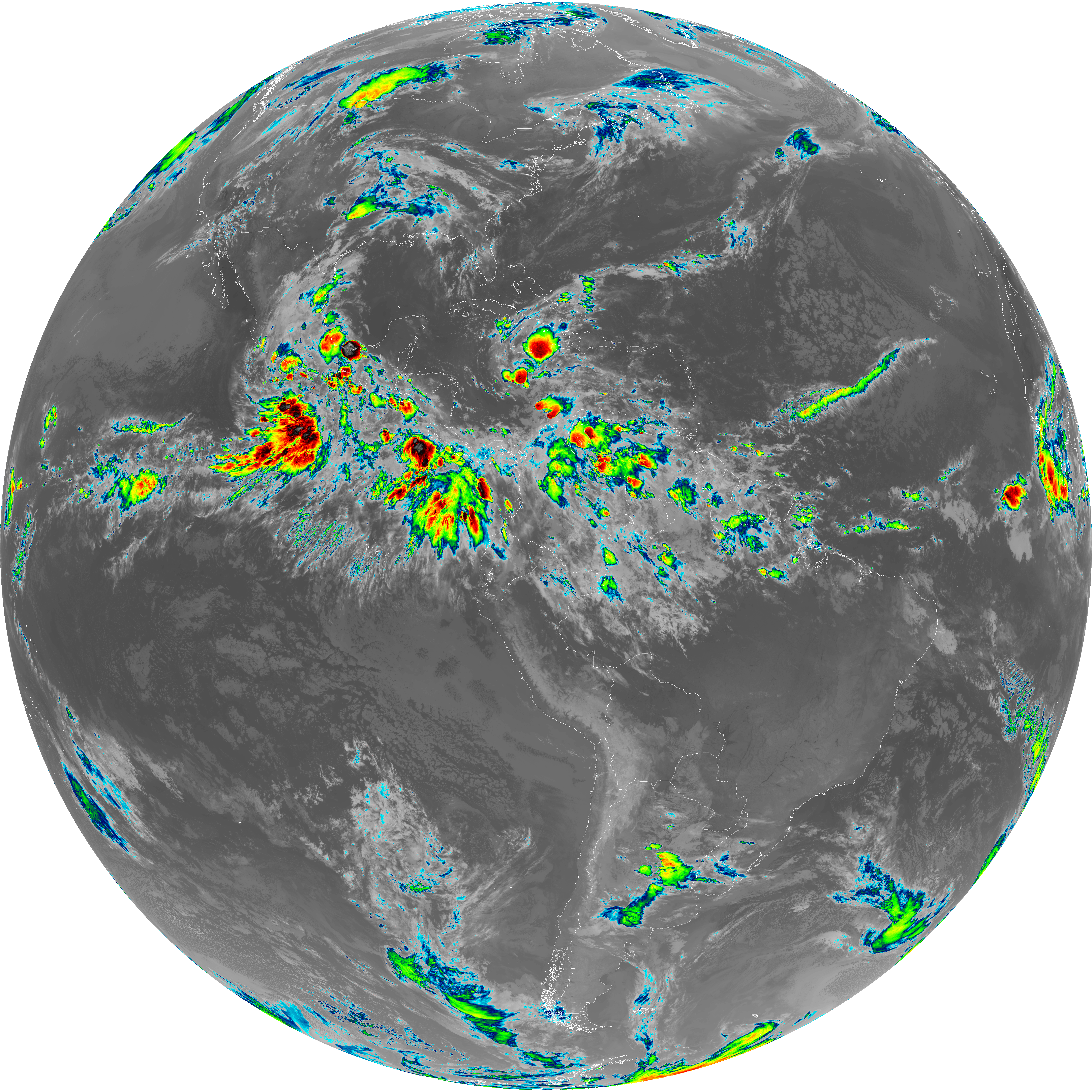
| abi_rgb_Clean_Longwave_IR_Window_Band_map.png | 13910254 | 2026-Jun-07 08:16 |
| G19_2_20260607T080021Z.png | 2496522 | 2026-Jun-07 08:17 |
| G19_8_20260607T080021Z.png | 5605899 | 2026-Jun-07 08:19 |
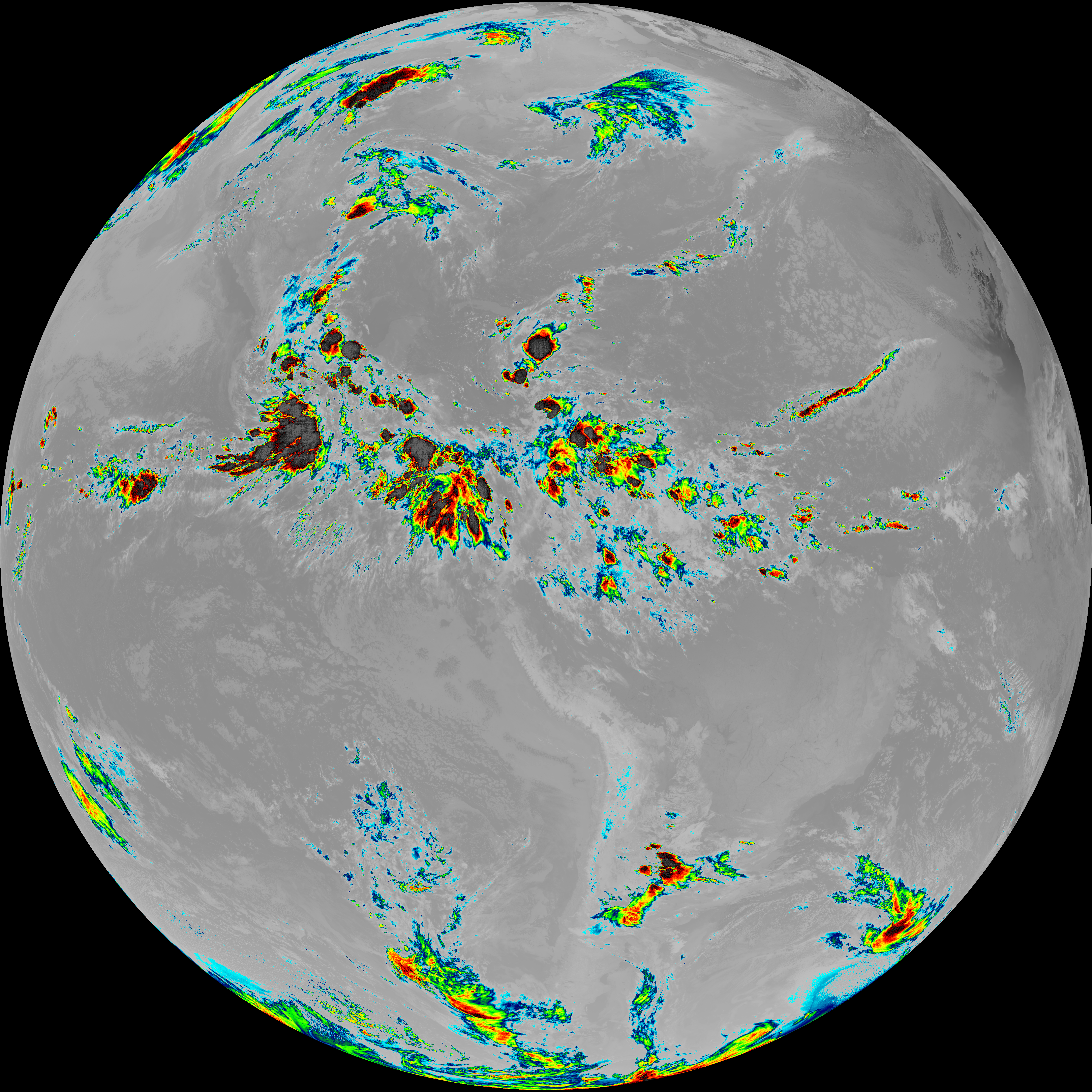
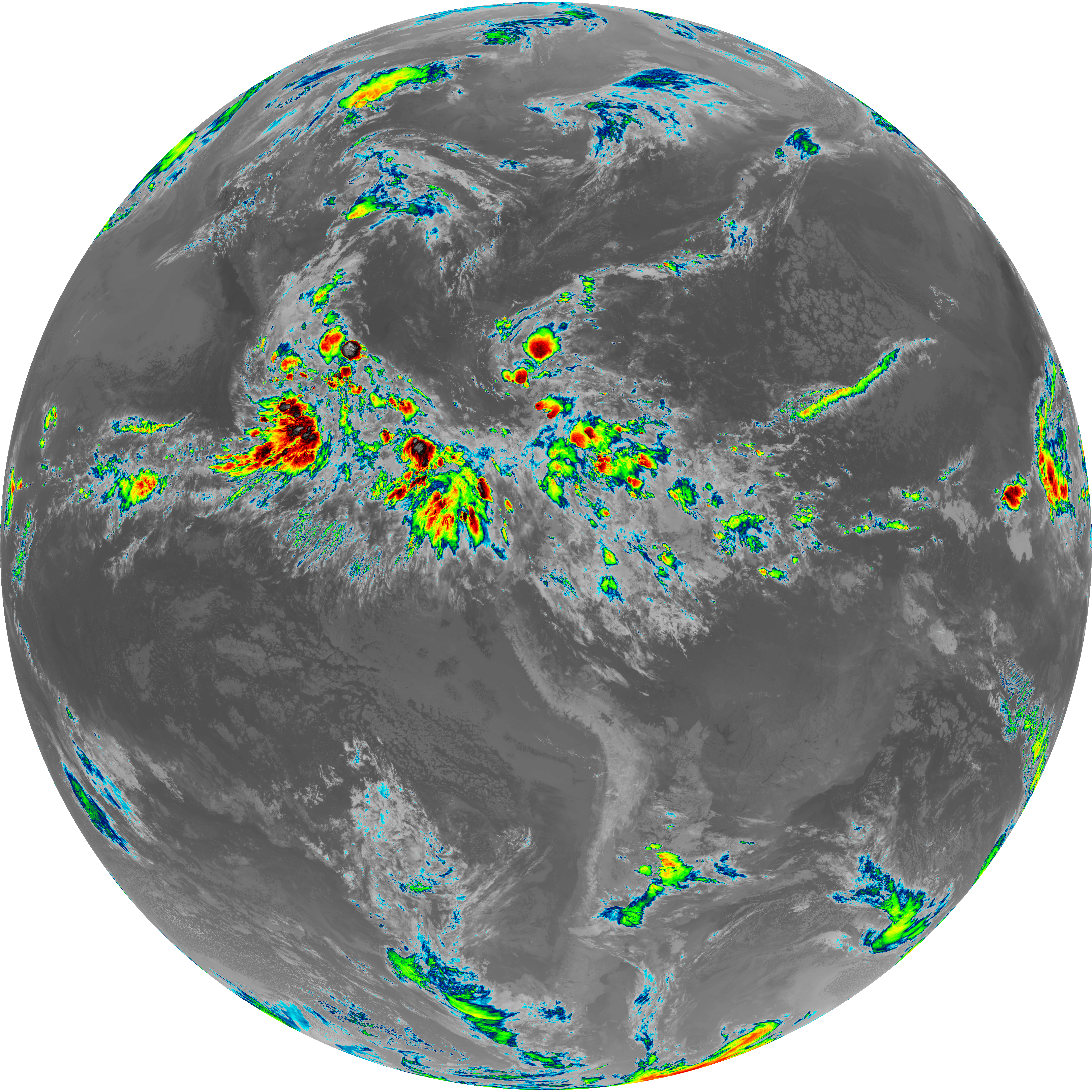
| abi_rgb_Upper-Level_Tropospheric_Water_Vapor.png | 7470247 | 2026-Jun-07 08:19 |
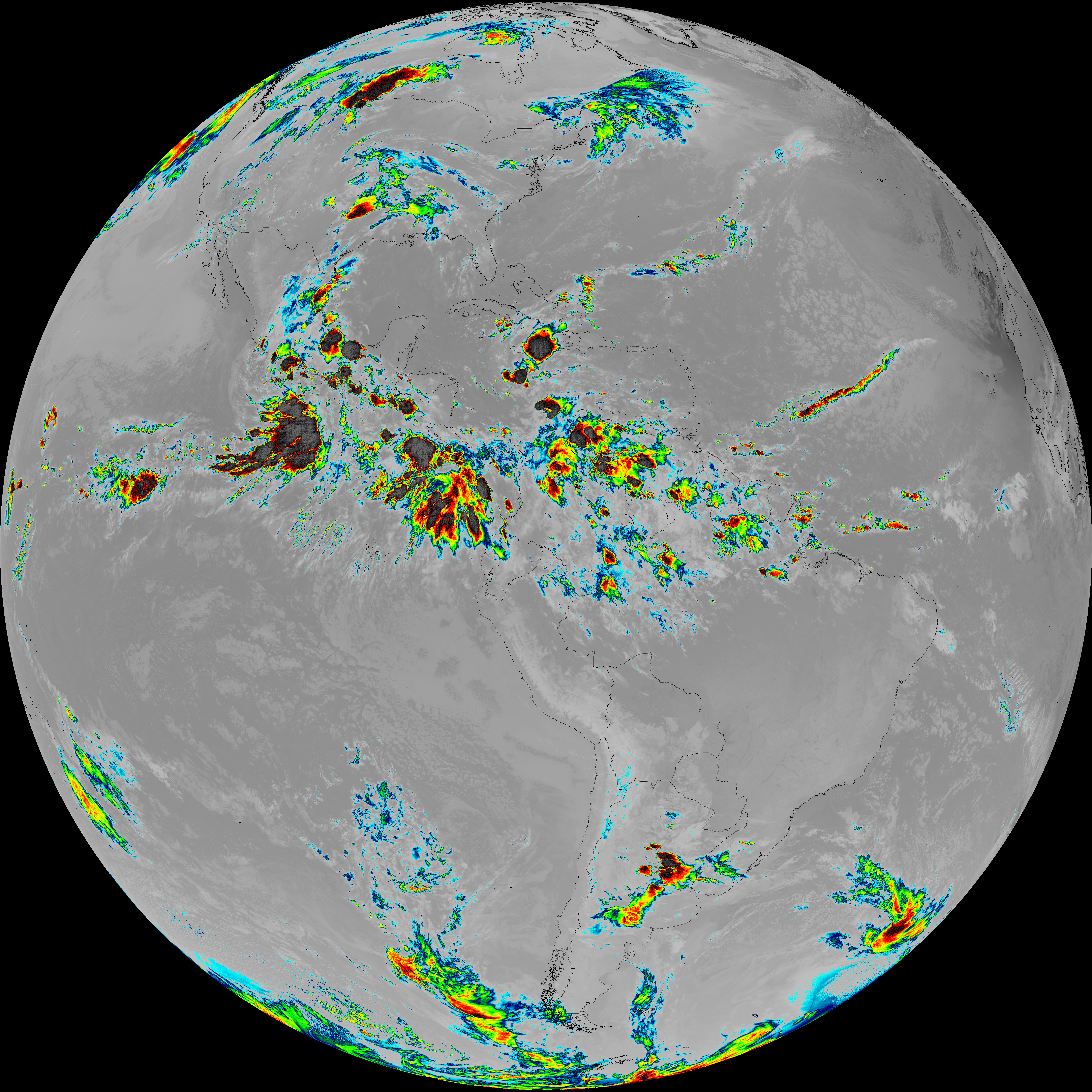
| abi_rgb_Upper-Level_Tropospheric_Water_Vapor_map.png | 7580499 | 2026-Jun-07 08:19 |
| G19_9_20260607T080021Z.png | 6505162 | 2026-Jun-07 08:21 |
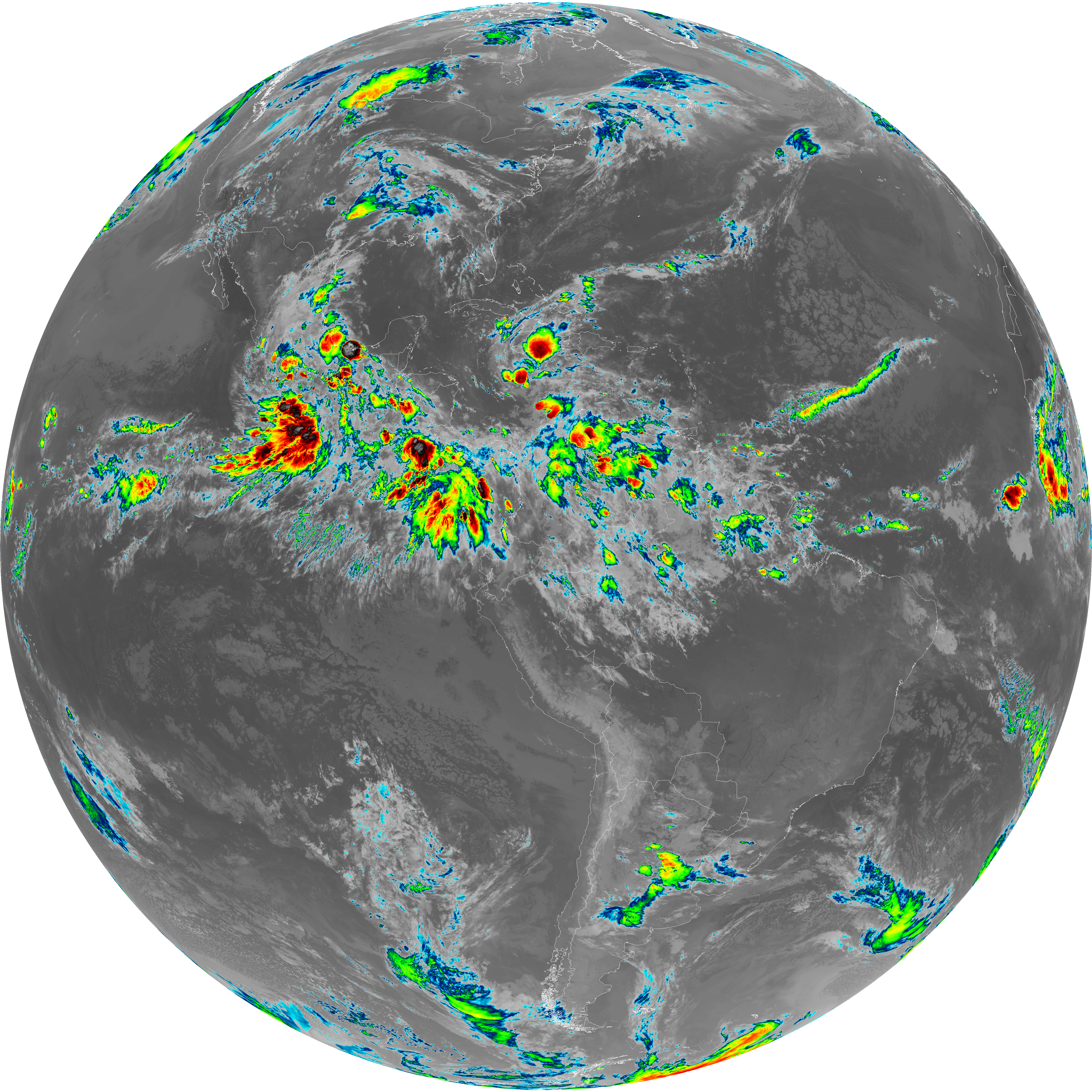
| abi_rgb_Mid-level_Tropospheric_Water_Vapor.png | 8716070 | 2026-Jun-07 08:21 |
| abi_rgb_Mid-level_Tropospheric_Water_Vapor_map.png | 8815904 | 2026-Jun-07 08:21 |
| G19_14_20260607T080021Z.png | 10470966 | 2026-Jun-07 08:24 |
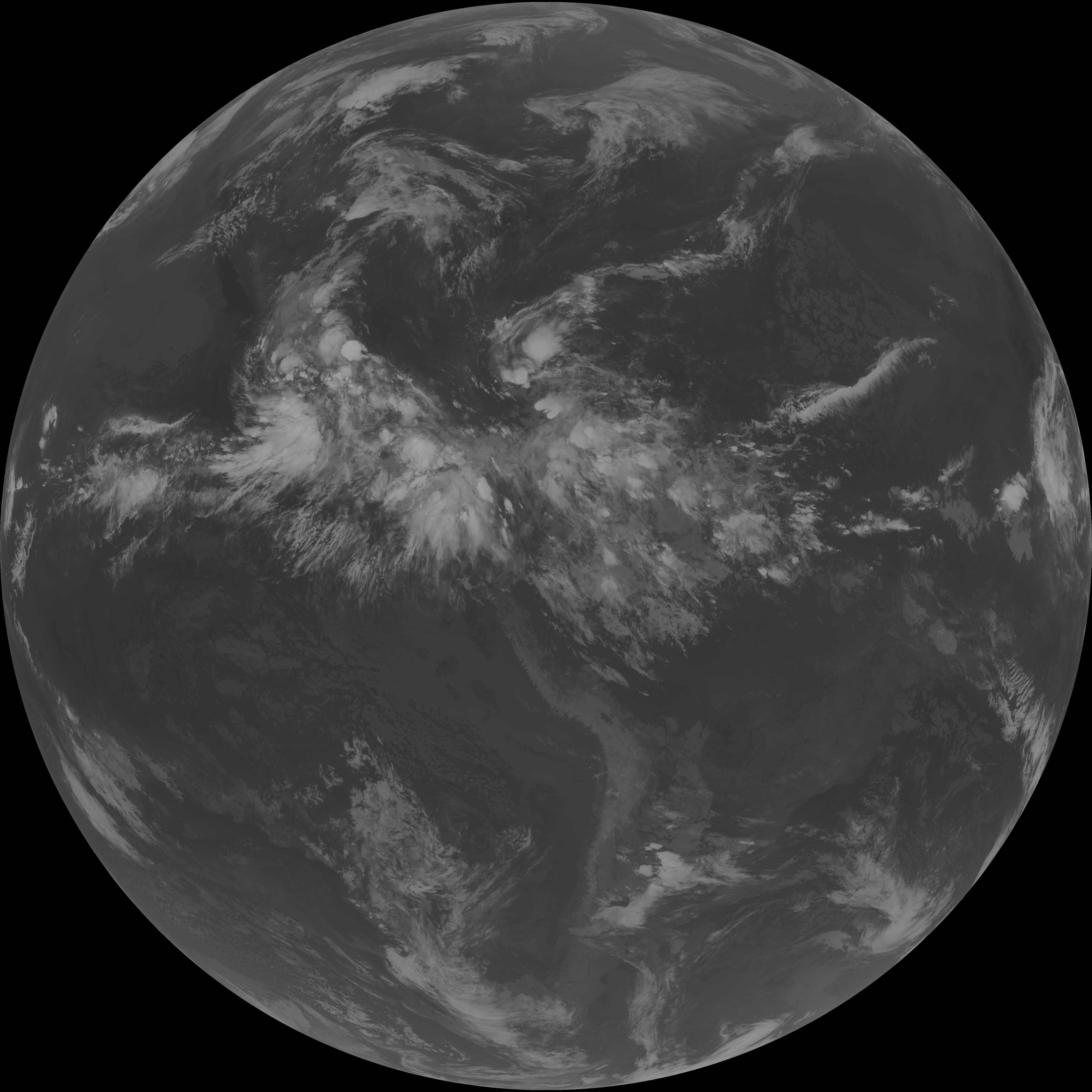
| abi_rgb_Infrared_Longwave_Window_Band.png | 14040662 | 2026-Jun-07 08:24 |
| abi_rgb_Infrared_Longwave_Window_Band_map.png | 14085804 | 2026-Jun-07 08:24 |
| G19_15_20260607T080021Z.png | 10213351 | 2026-Jun-07 08:27 |
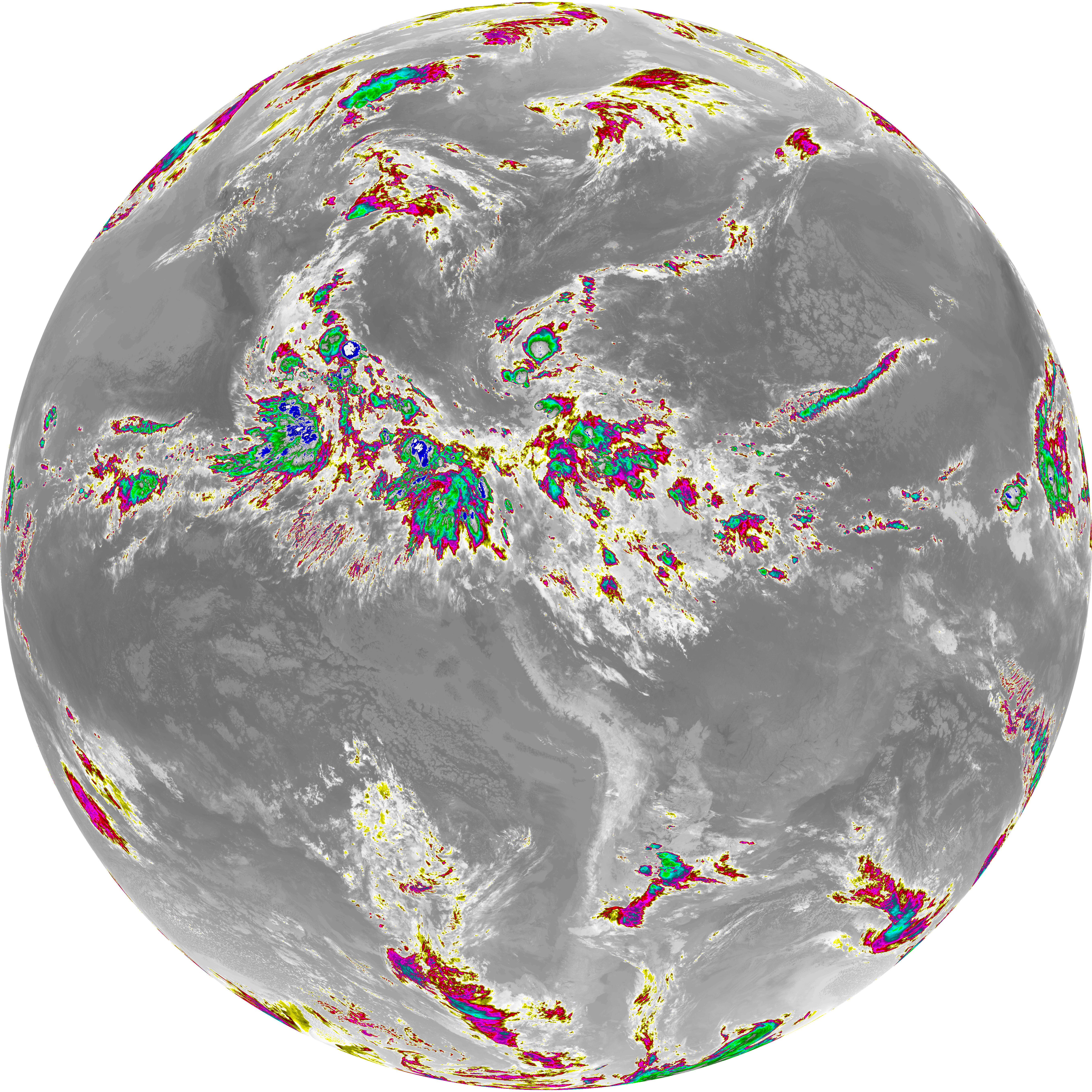
| abi_rgb_Dirty_Longwave_Window.png | 13733906 | 2026-Jun-07 08:27 |
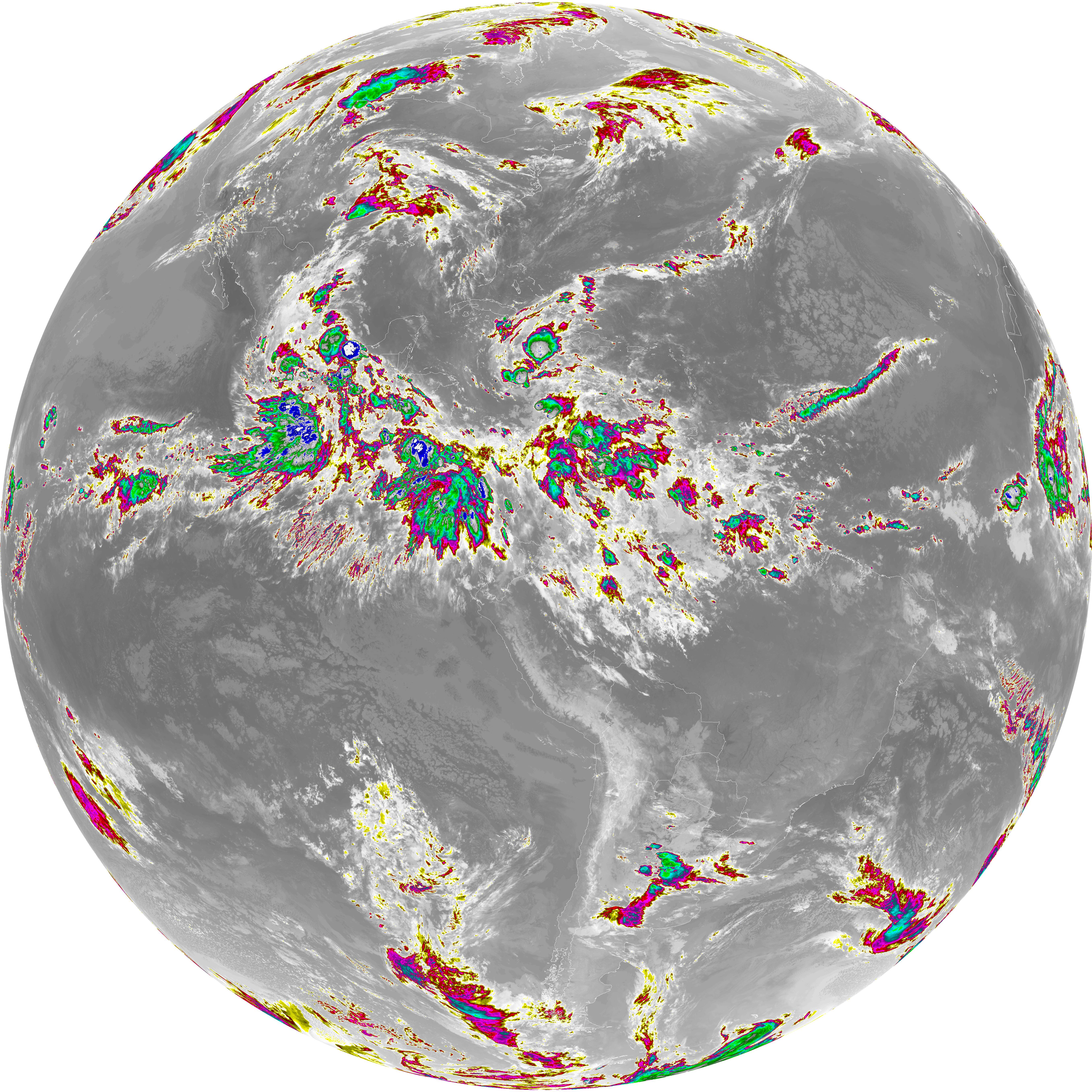
| abi_rgb_Dirty_Longwave_Window_map.png | 13782208 | 2026-Jun-07 08:27 |
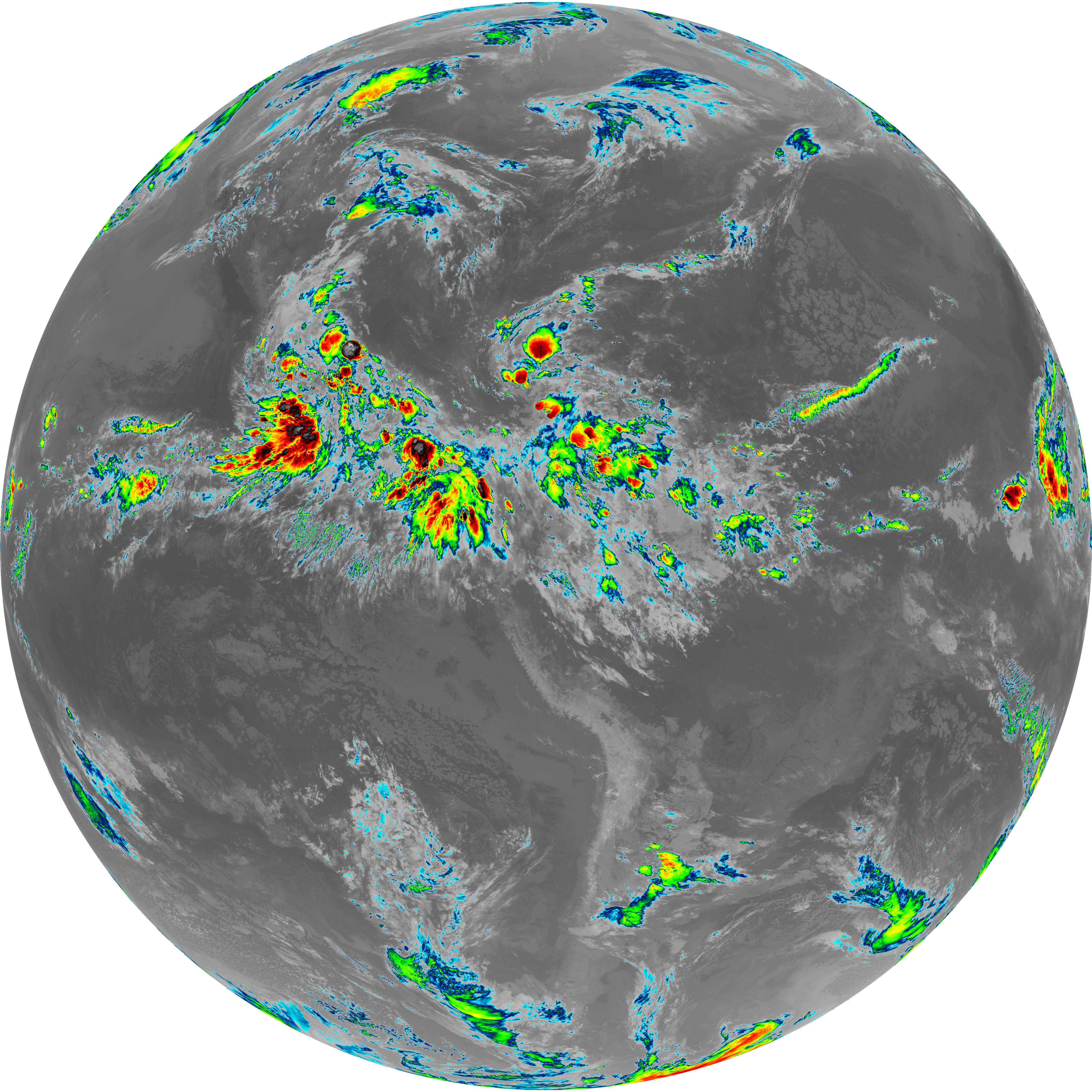
| abi_rgb_Dirty_Longwave_Window_-_CIRA.png | 12007227 | 2026-Jun-07 08:28 |
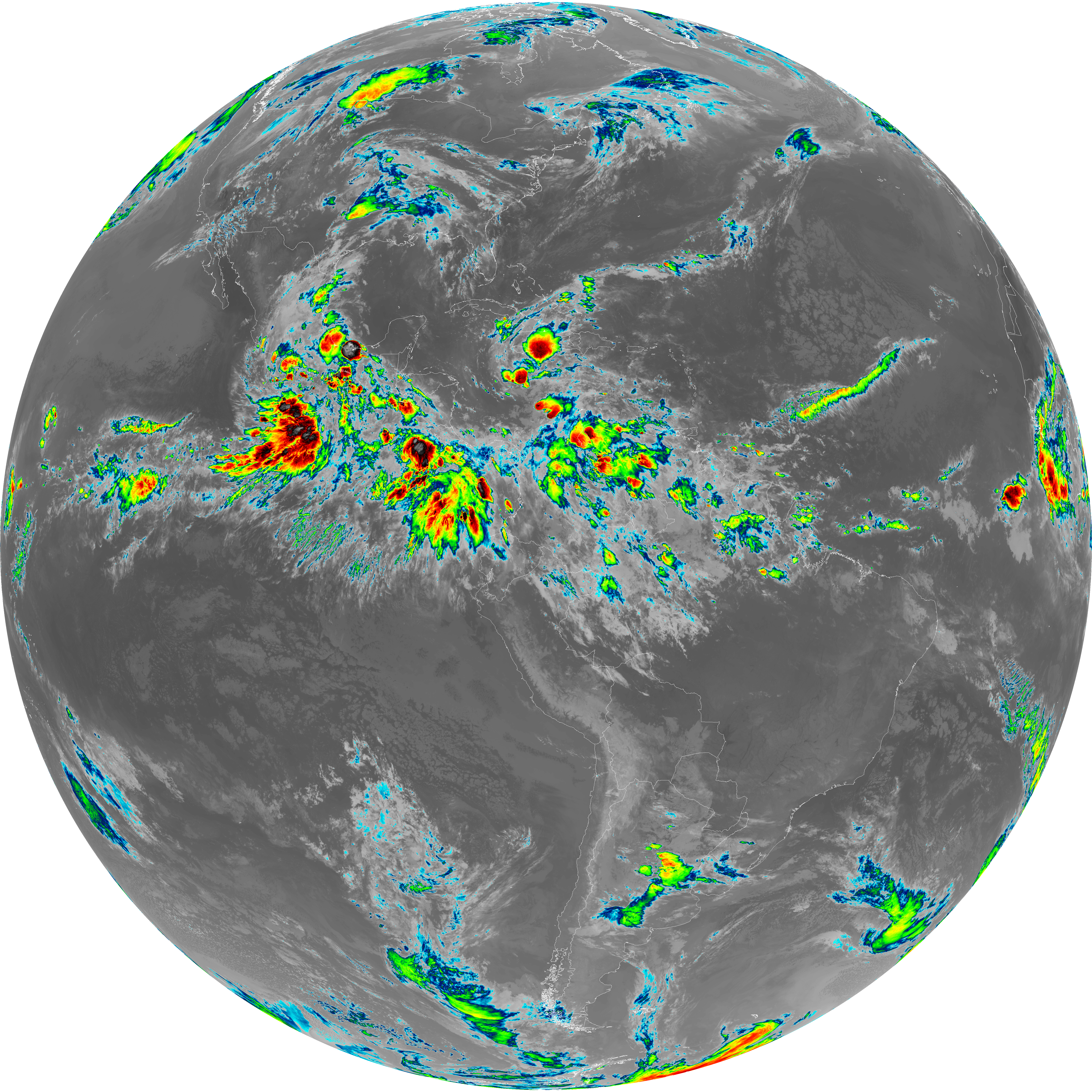
| abi_rgb_Dirty_Longwave_Window_-_CIRA_map.png | 12066440 | 2026-Jun-07 08:28 |