| Parent directory/ | - | - |
| abi_rgb_Upper-Level_Tropospheric_Water_Vapor_map.png | 7577848 | 2026-Jun-07 08:49 |
| abi_rgb_Upper-Level_Tropospheric_Water_Vapor.png | 7467543 | 2026-Jun-07 08:49 |
| abi_rgb_Shortwave_Window_Band_map.png | 15325043 | 2026-Jun-07 08:43 |
| abi_rgb_Shortwave_Window_Band.png | 15269497 | 2026-Jun-07 08:43 |
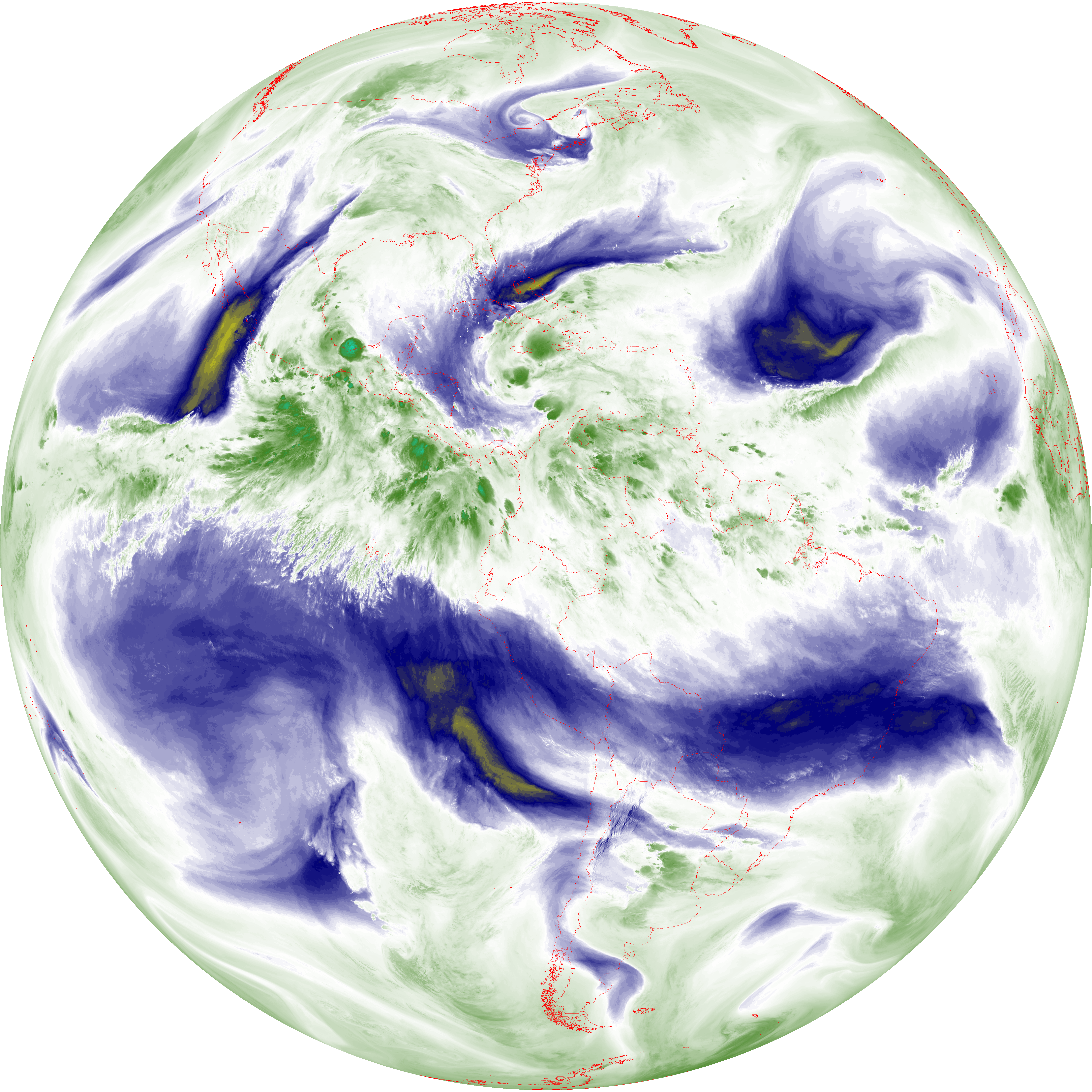
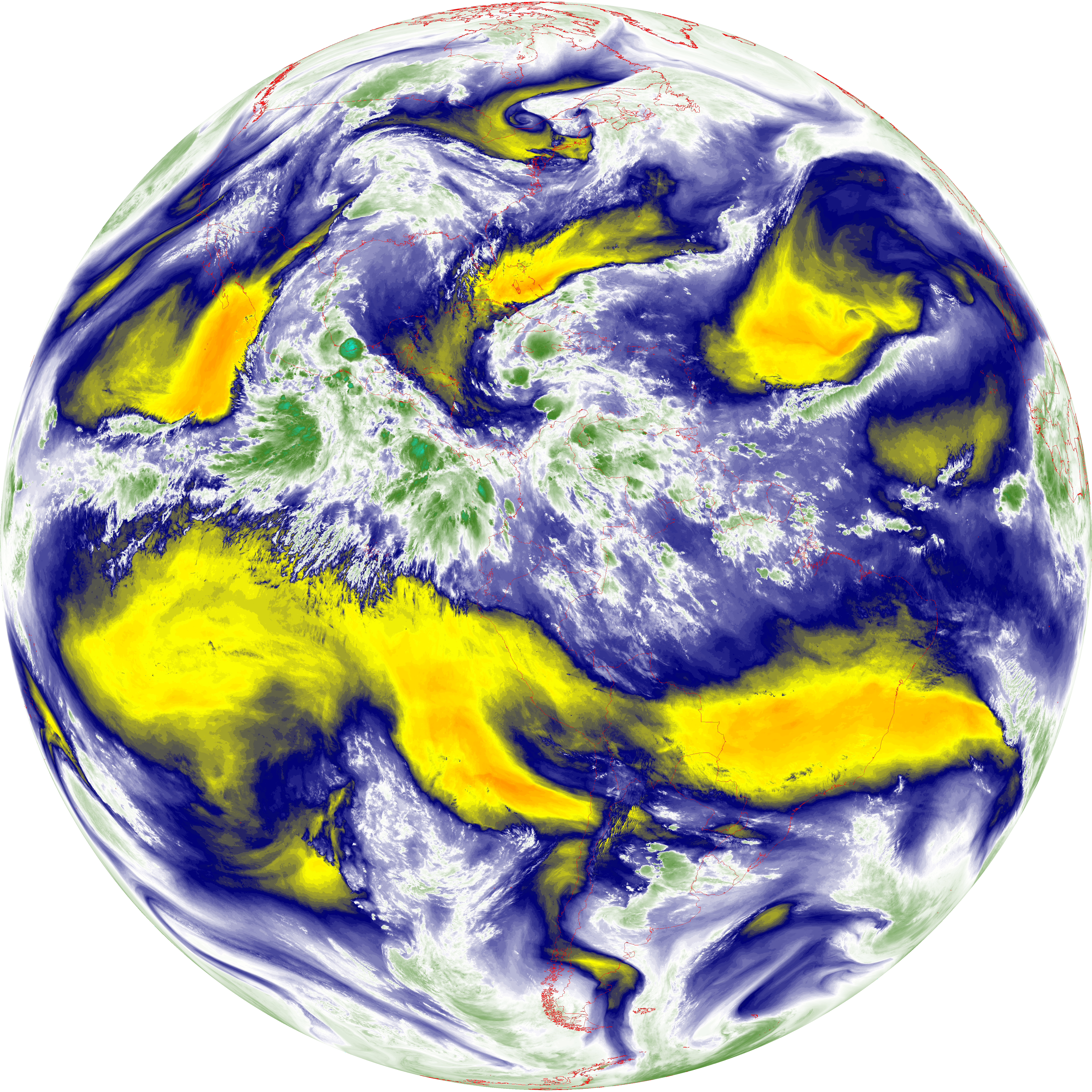
| abi_rgb_Mid-level_Tropospheric_Water_Vapor_map.png | 8811876 | 2026-Jun-07 08:51 |
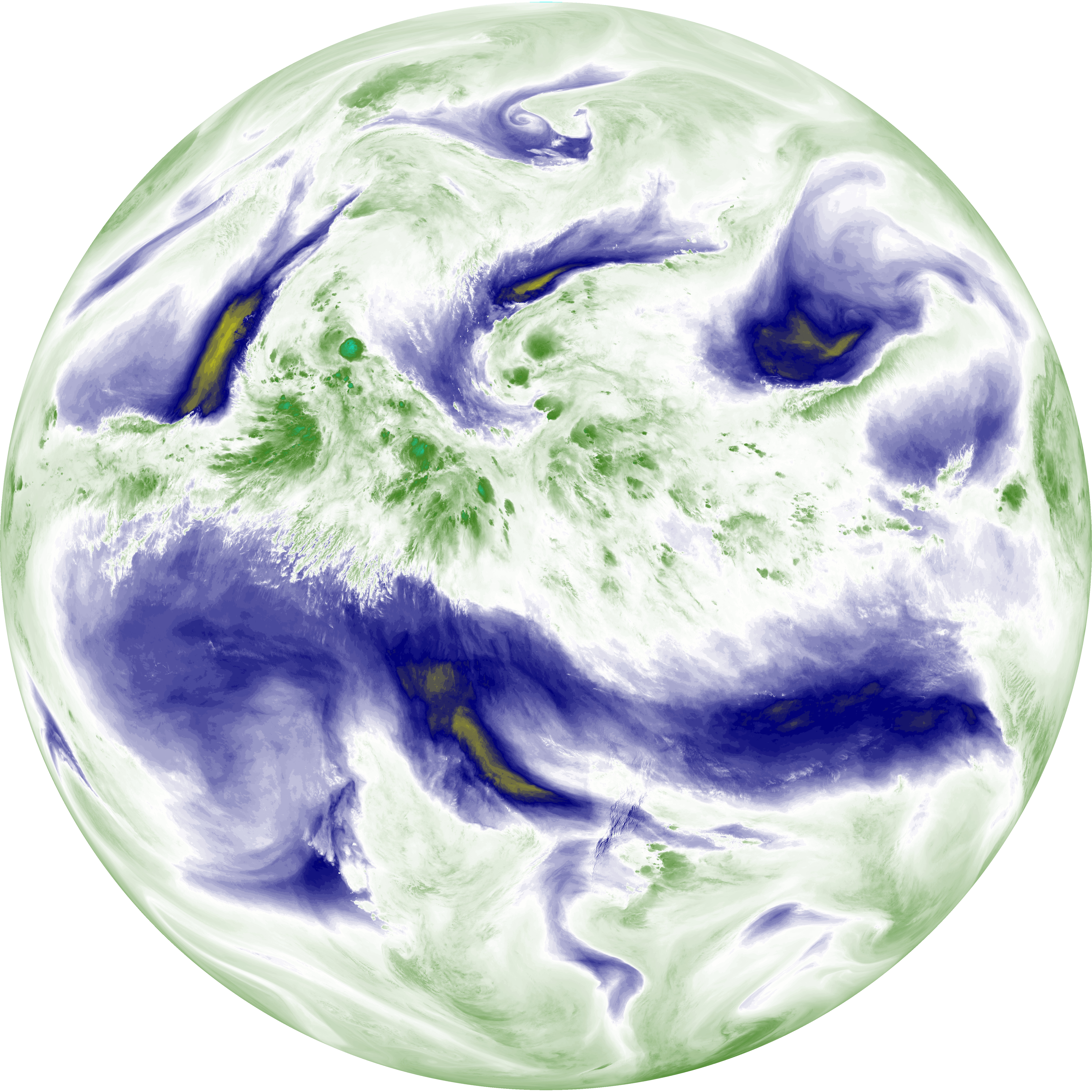
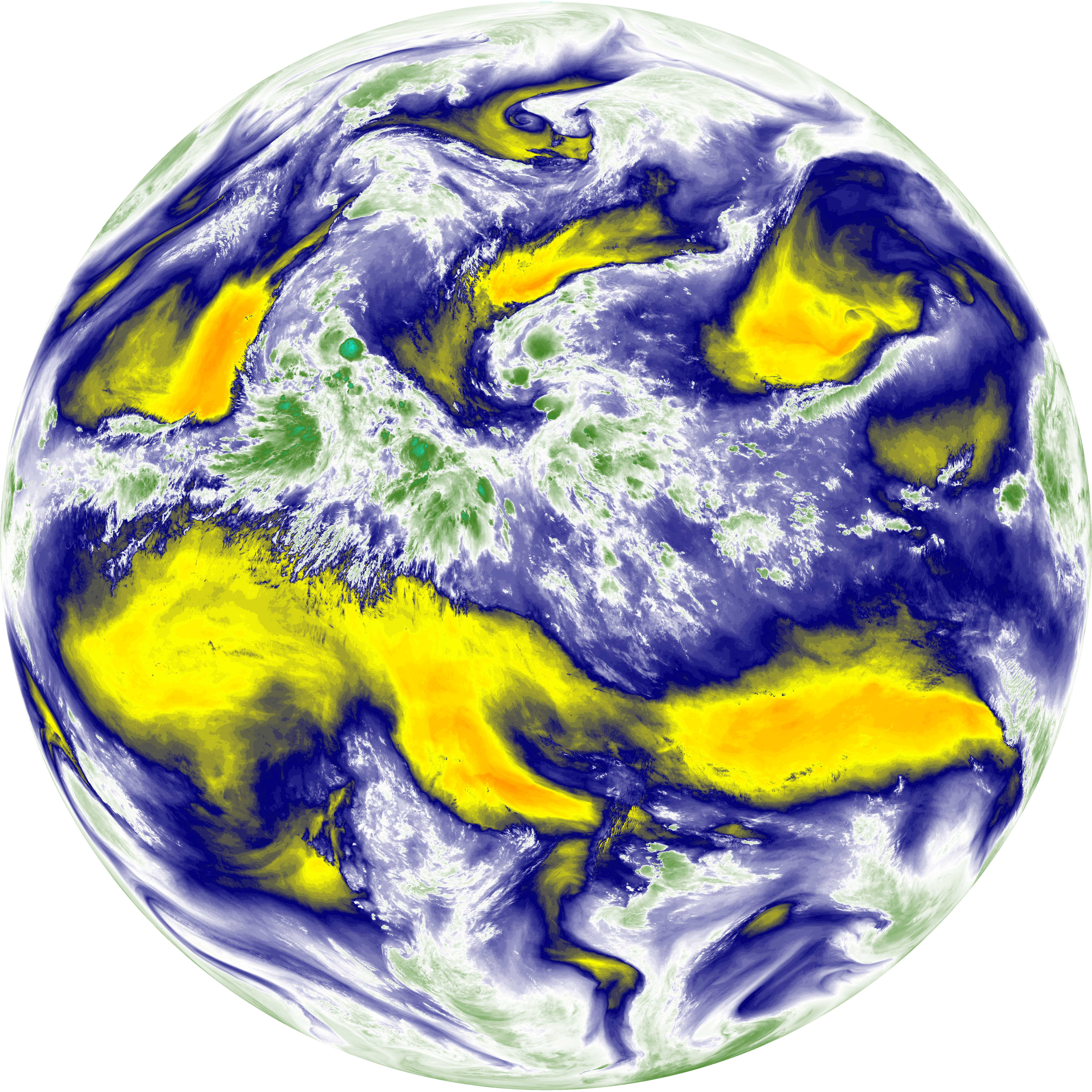
| abi_rgb_Mid-level_Tropospheric_Water_Vapor.png | 8713020 | 2026-Jun-07 08:51 |
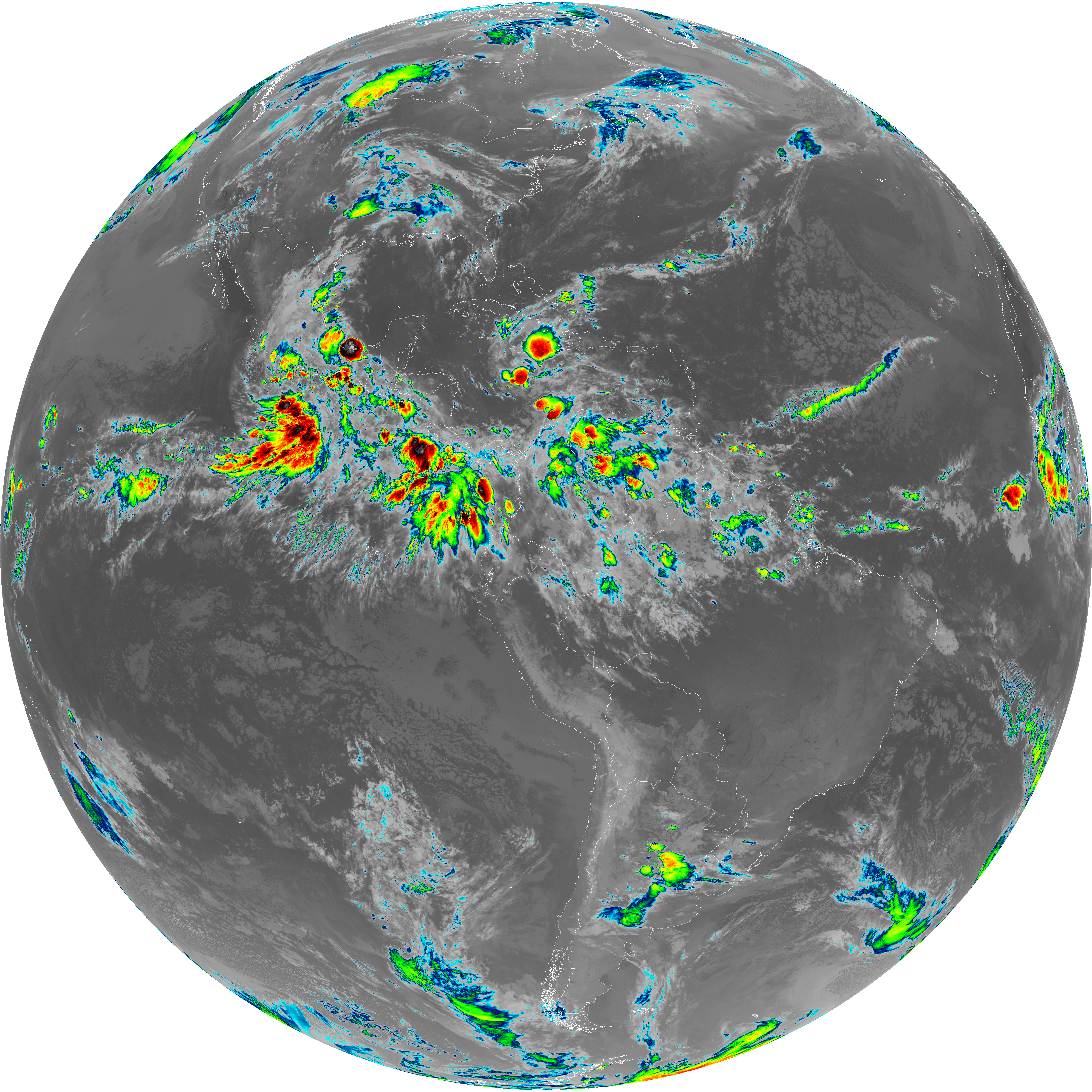
| abi_rgb_Infrared_Longwave_Window_Band_map.png | 14067325 | 2026-Jun-07 08:54 |
| abi_rgb_Infrared_Longwave_Window_Band.png | 14022527 | 2026-Jun-07 08:54 |
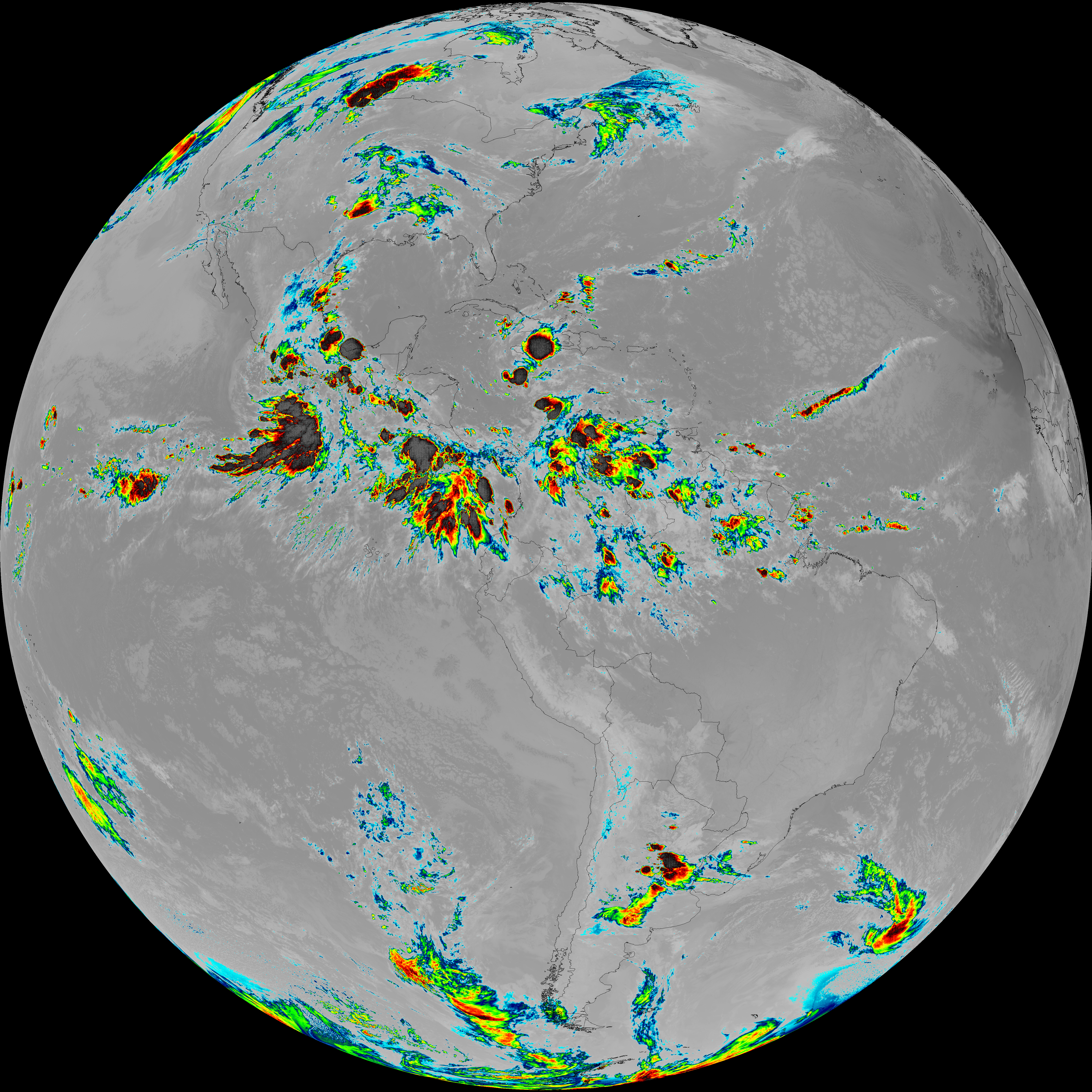
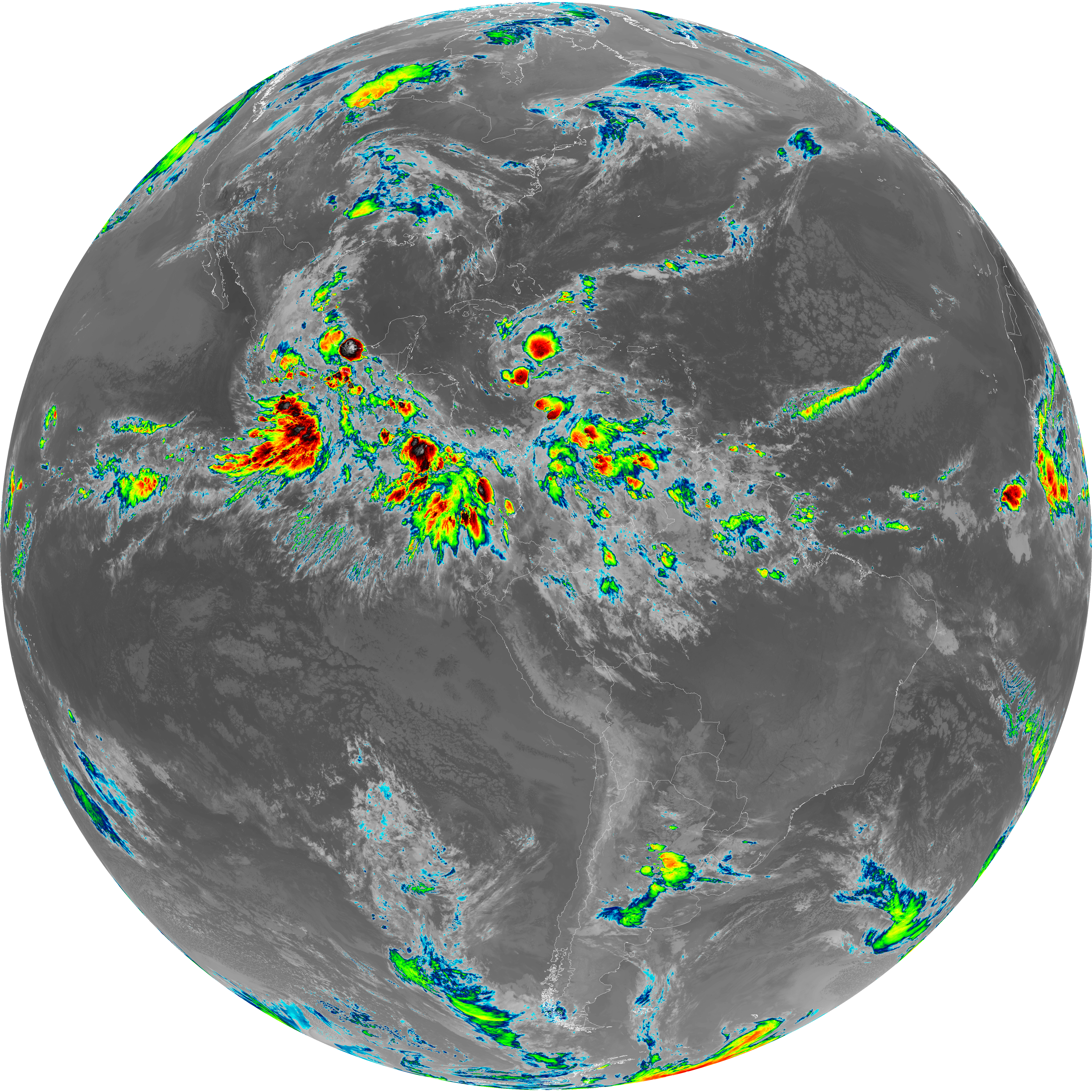
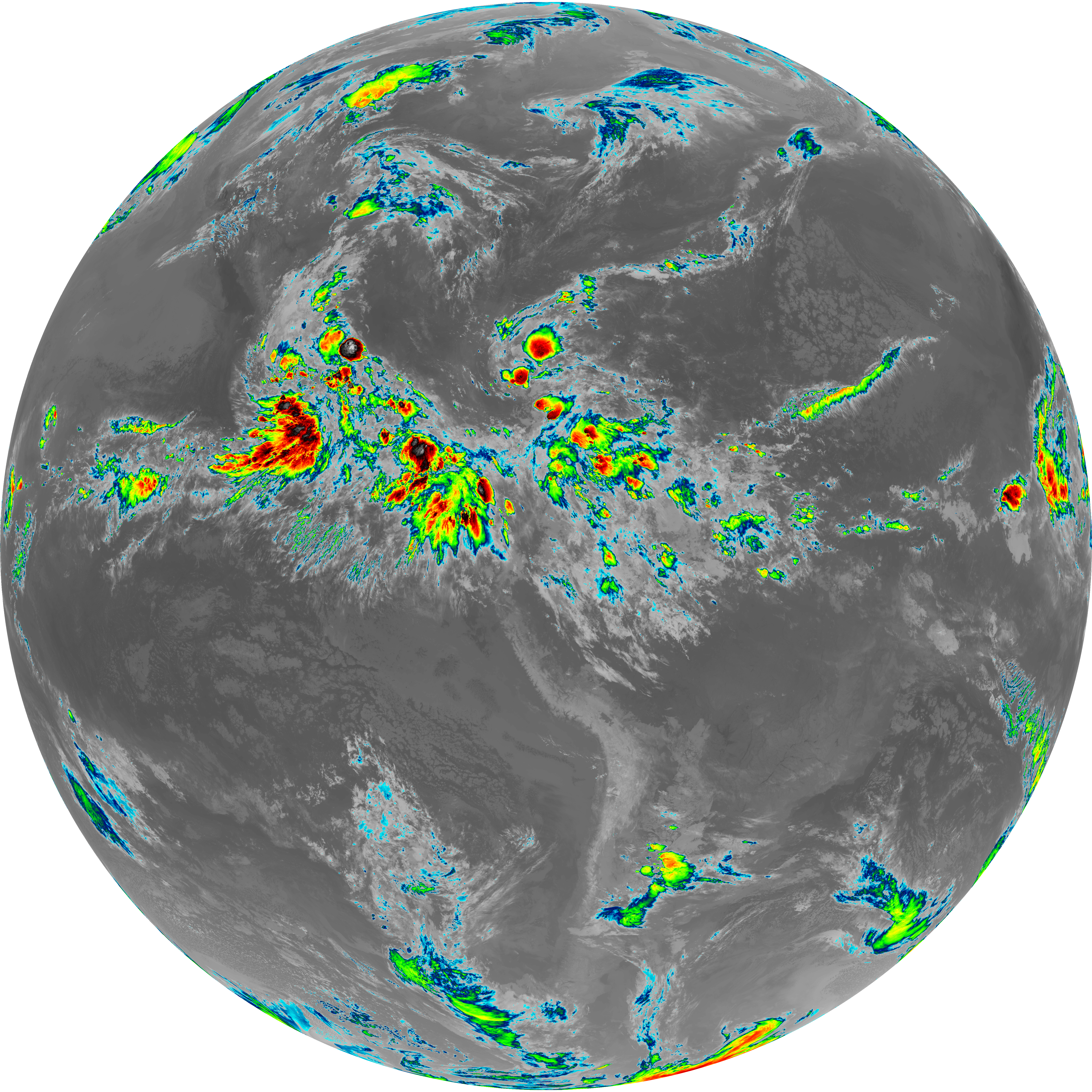
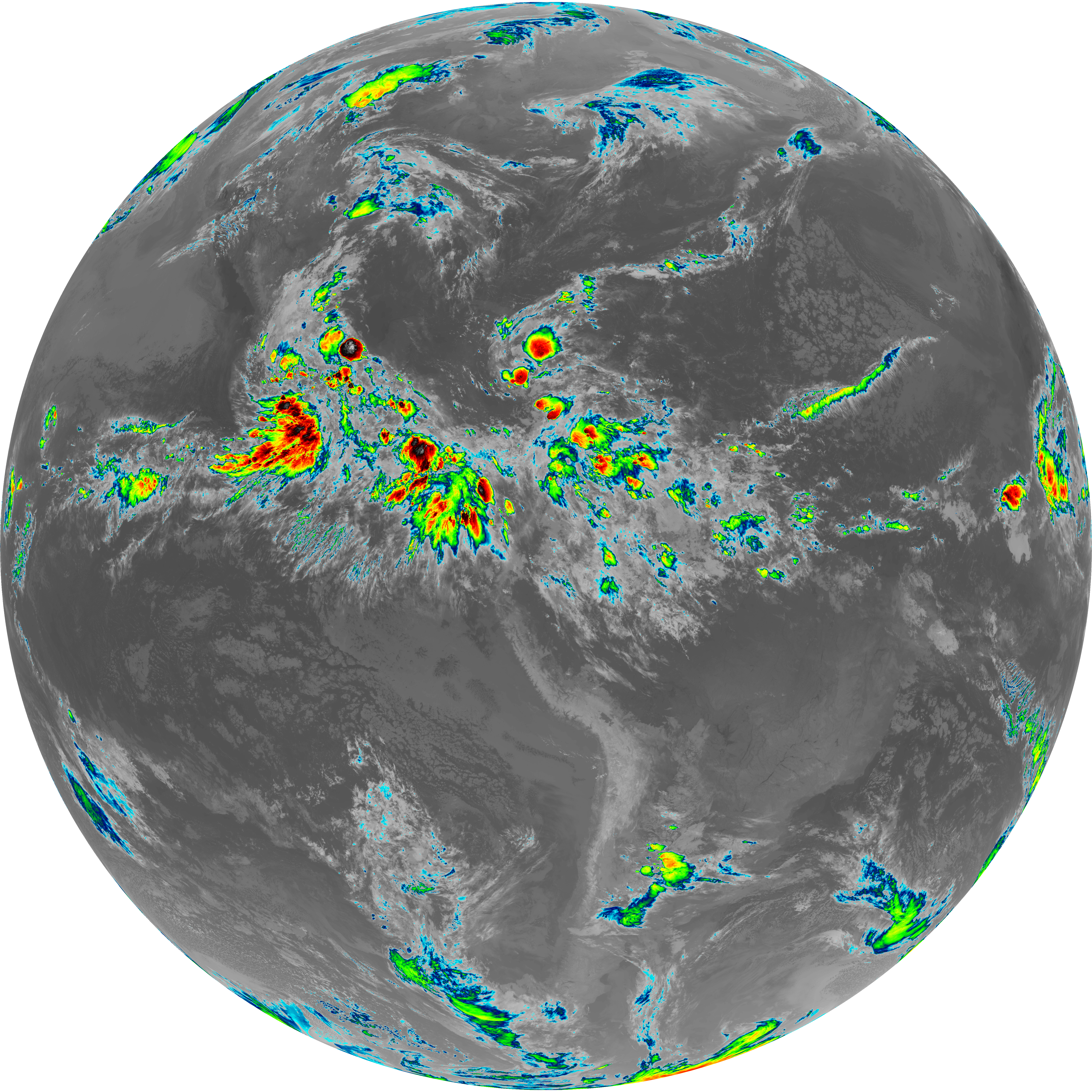
| abi_rgb_Dirty_Longwave_Window_map.png | 13768435 | 2026-Jun-07 08:57 |
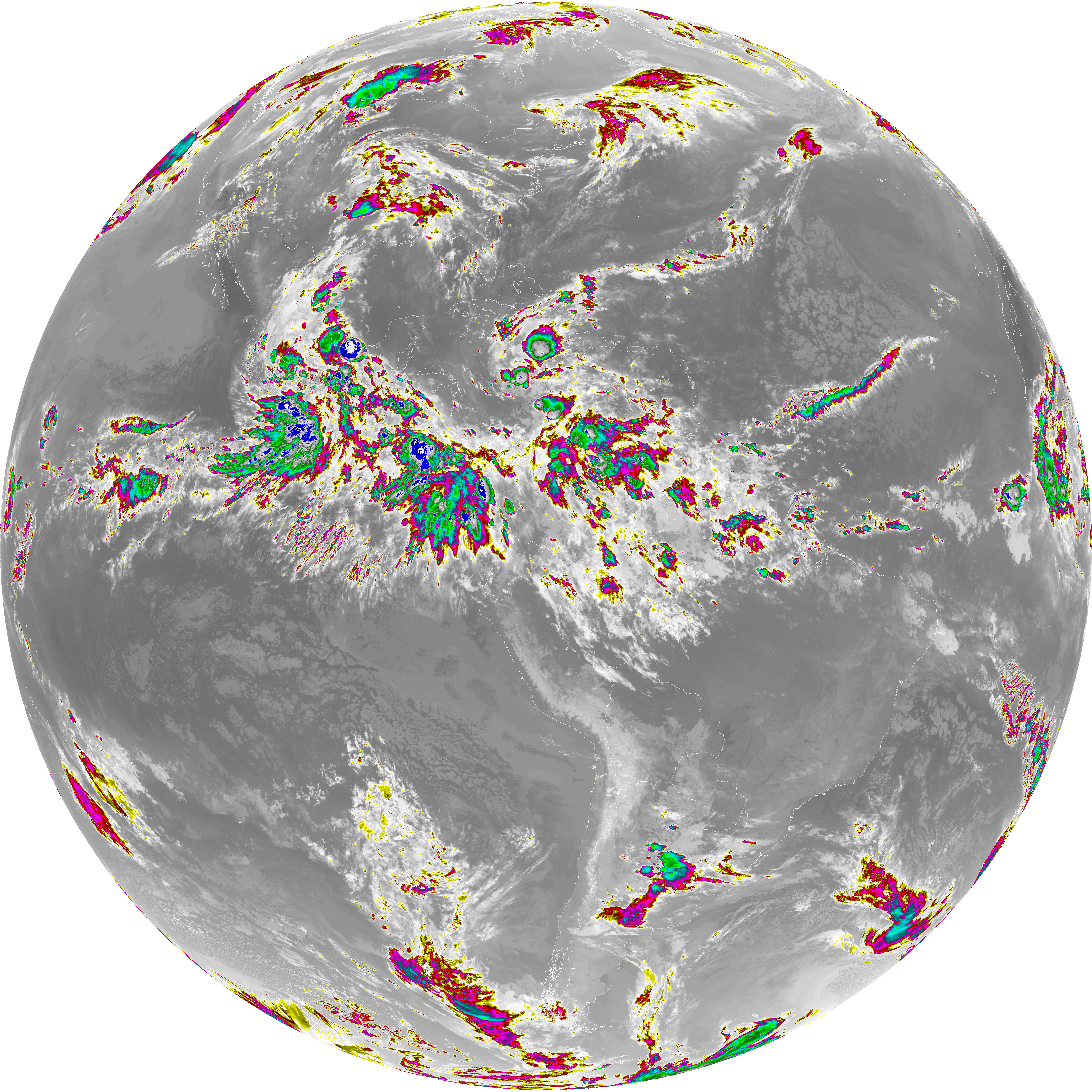
| abi_rgb_Dirty_Longwave_Window_-_CIRA_map.png | 12050283 | 2026-Jun-07 08:57 |
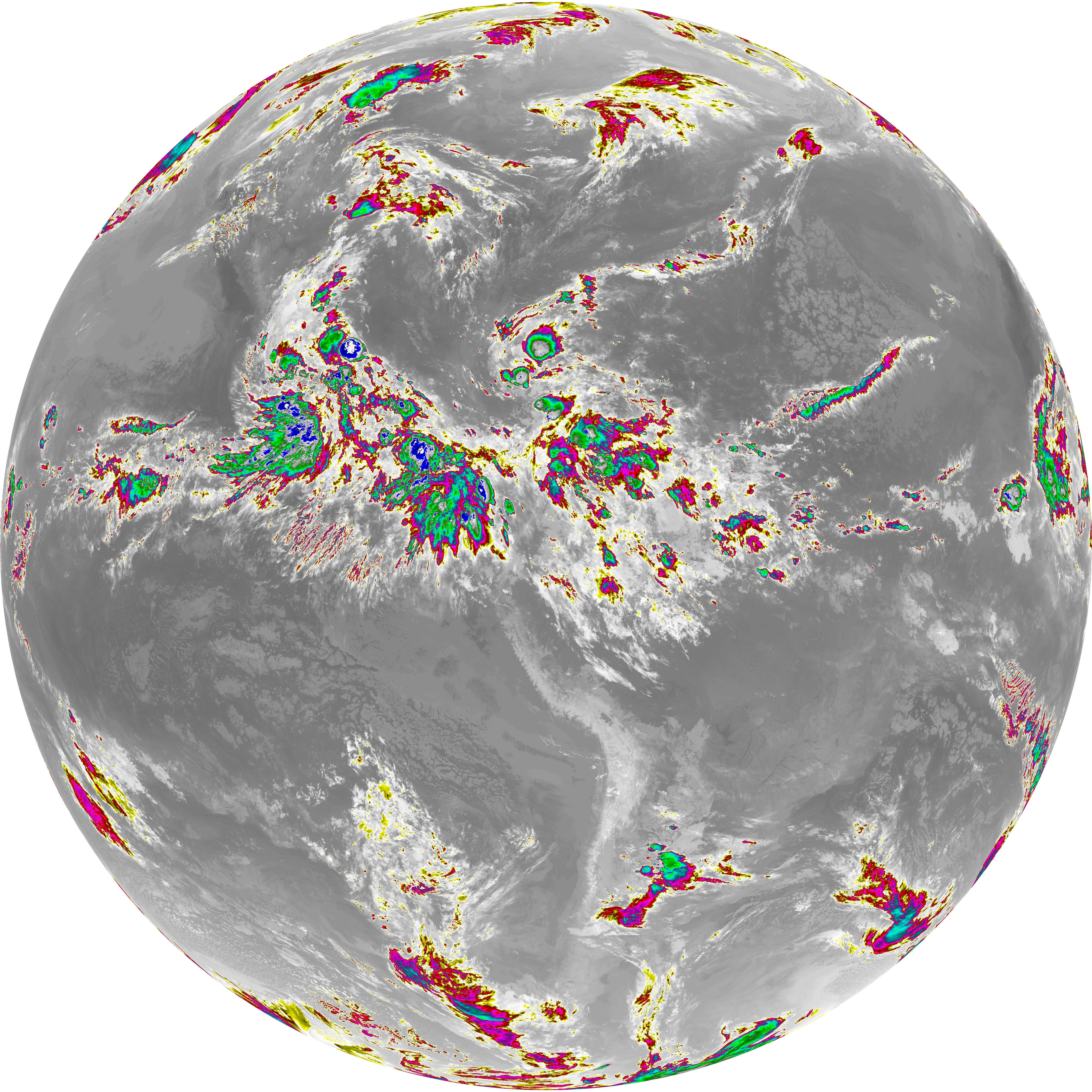
| abi_rgb_Dirty_Longwave_Window_-_CIRA.png | 11991084 | 2026-Jun-07 08:57 |
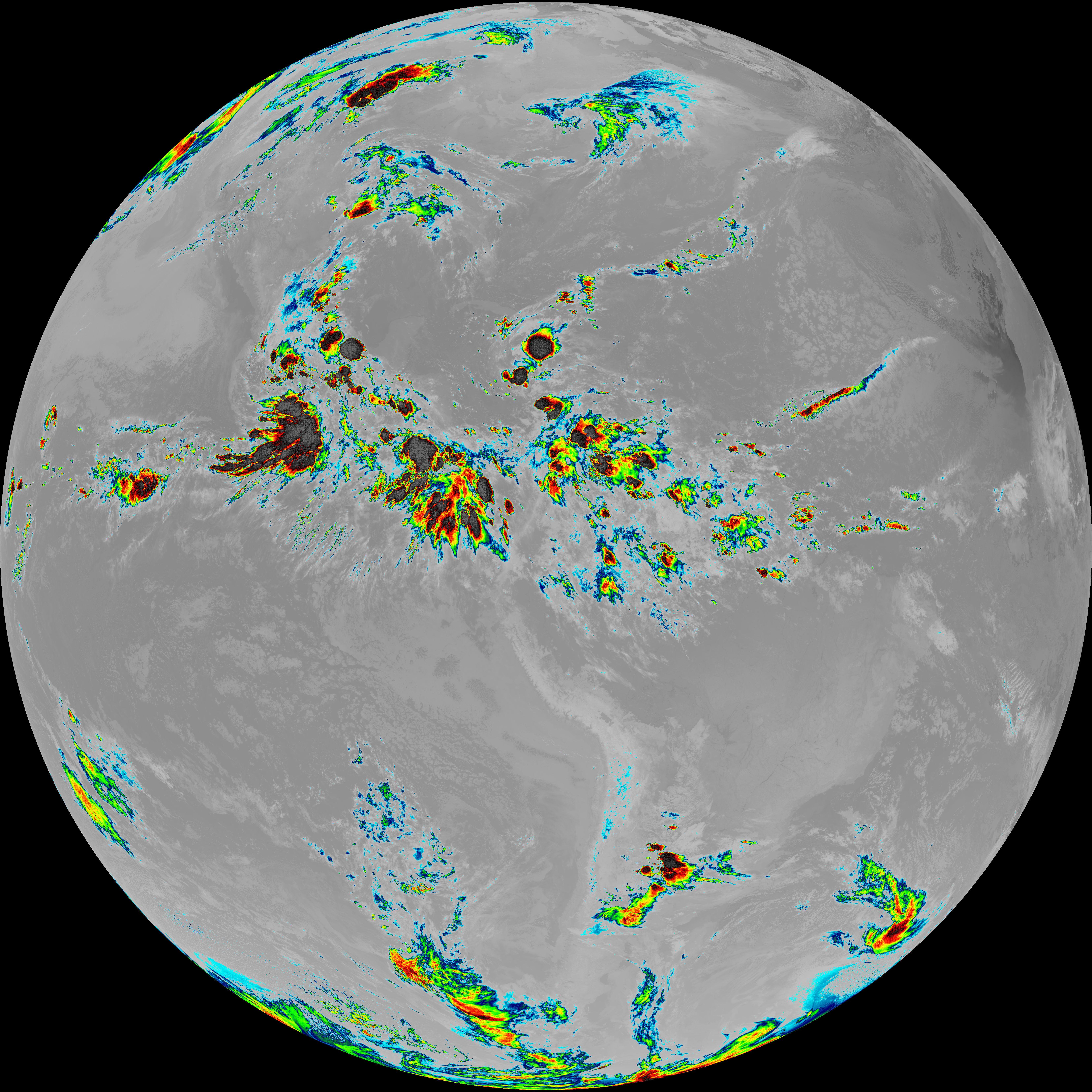
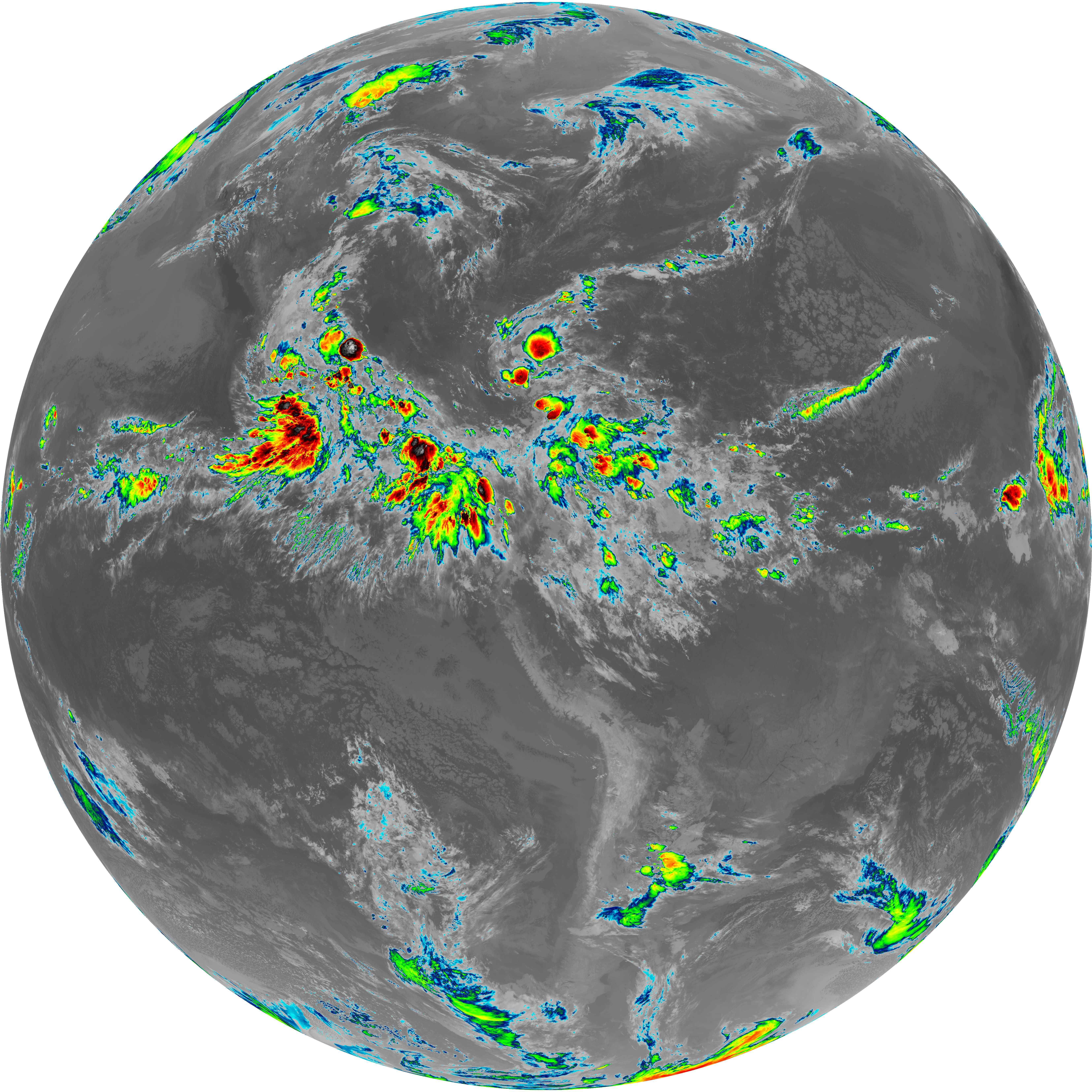
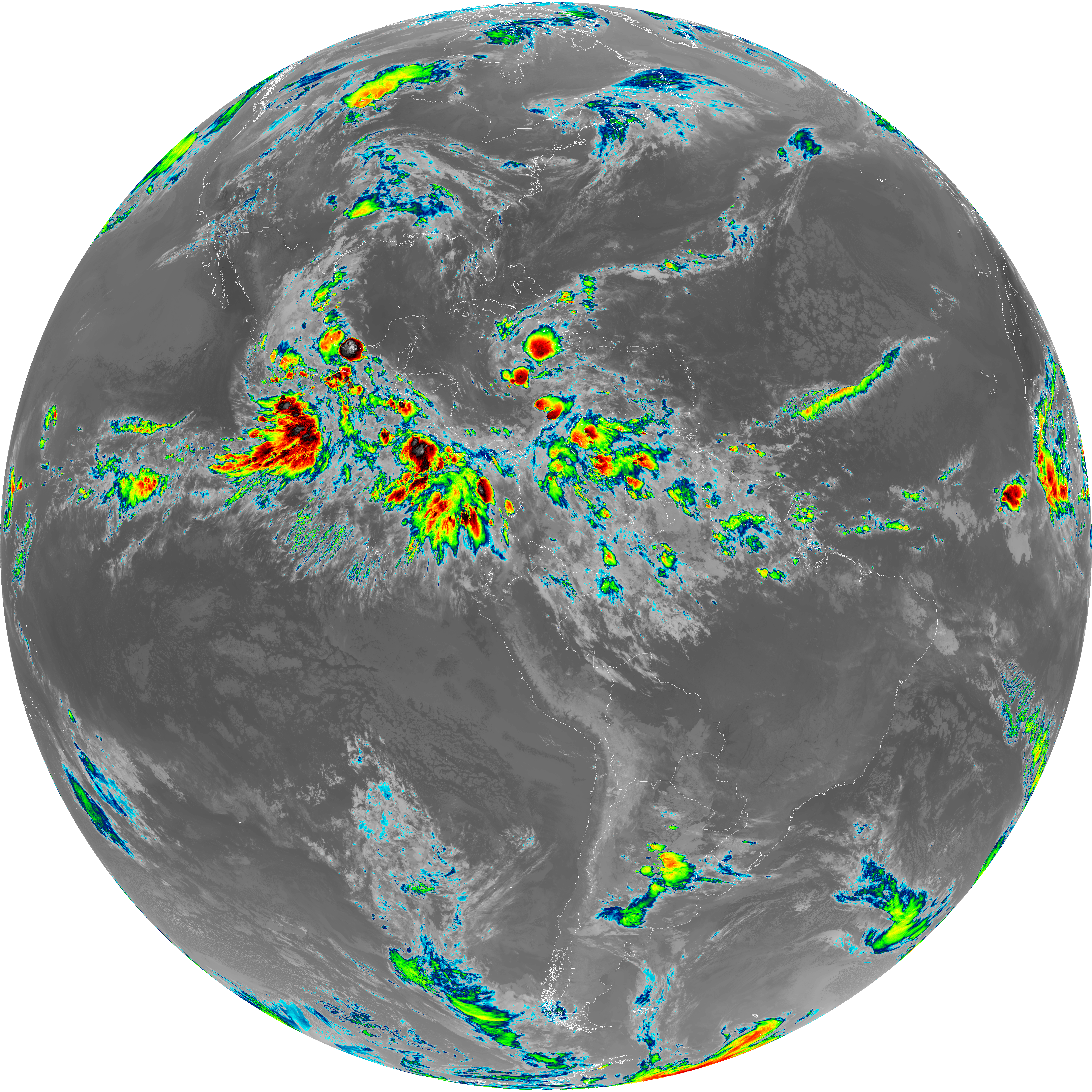
| abi_rgb_Dirty_Longwave_Window.png | 13719687 | 2026-Jun-07 08:57 |
| abi_rgb_Clean_Longwave_IR_Window_Band_map.png | 13889882 | 2026-Jun-07 08:46 |
| abi_rgb_Clean_Longwave_IR_Window_Band.png | 13845450 | 2026-Jun-07 08:46 |
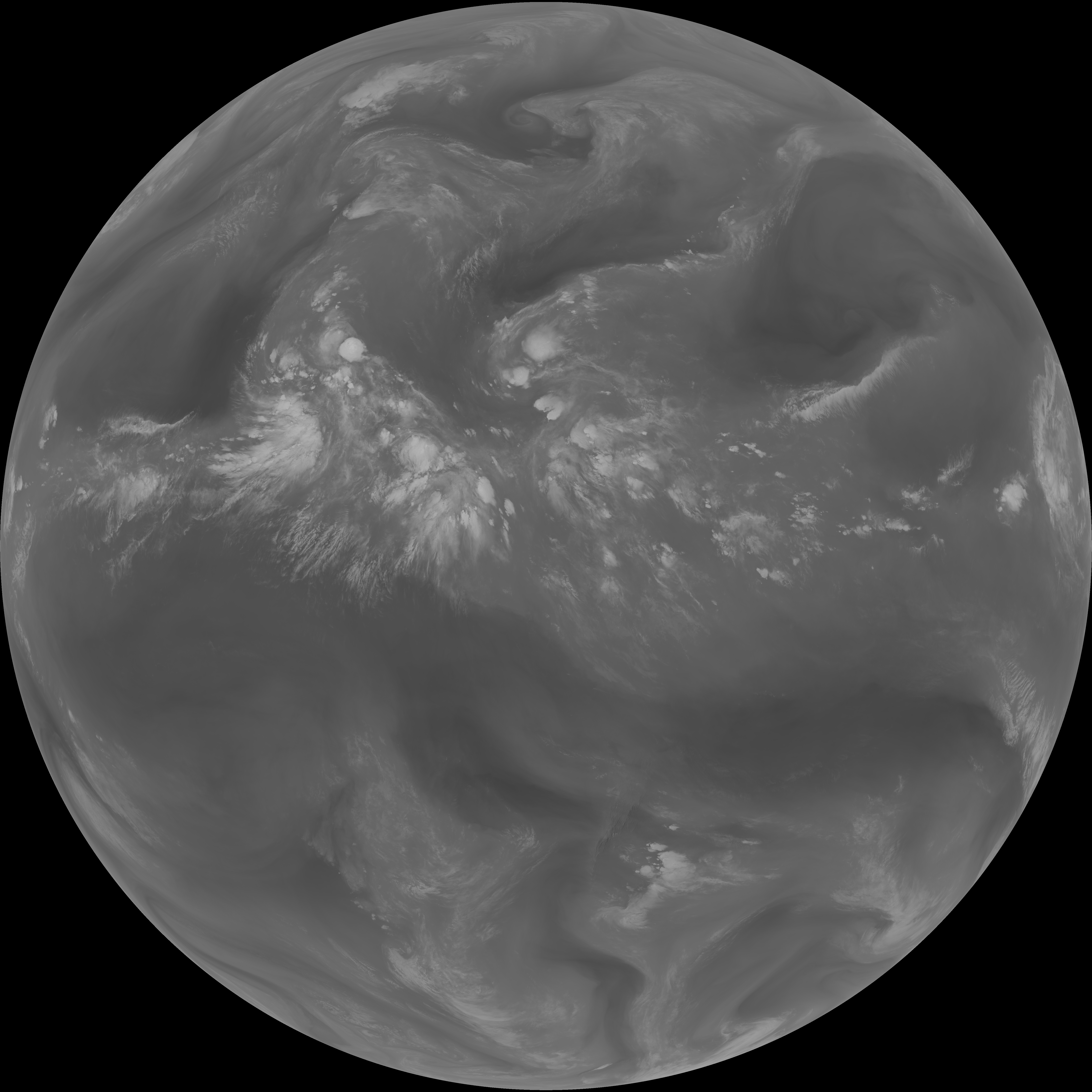
| G19_9_20260607T083021Z.png | 6501764 | 2026-Jun-07 08:51 |
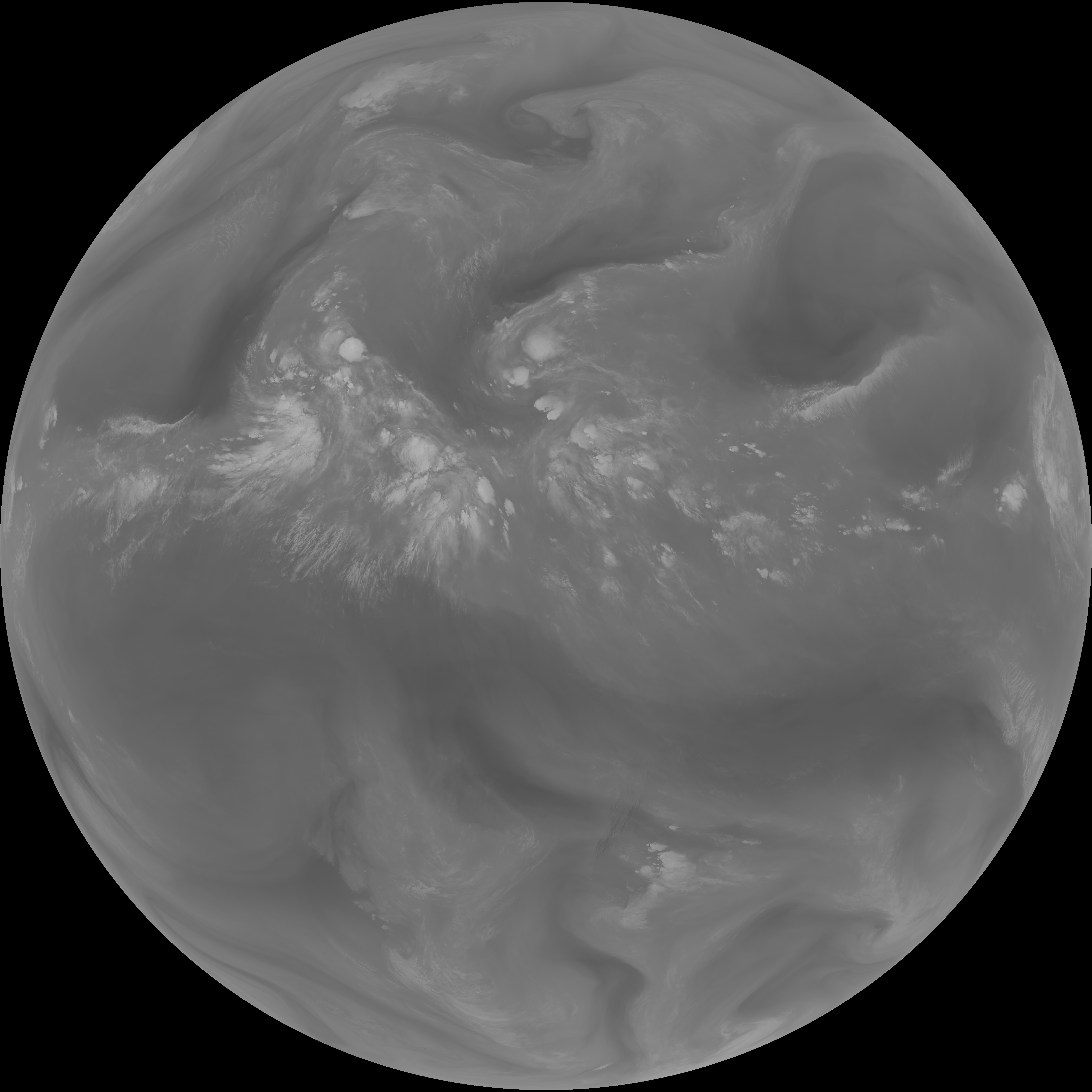
| G19_8_20260607T083021Z.png | 5604969 | 2026-Jun-07 08:49 |
| G19_7_20260607T083021Z.png | 11259676 | 2026-Jun-07 08:43 |
| G19_2_20260607T083021Z.png | 3209996 | 2026-Jun-07 08:47 |
| G19_15_20260607T083021Z.png | 10201126 | 2026-Jun-07 08:57 |
| G19_14_20260607T083021Z.png | 10456784 | 2026-Jun-07 08:54 |
| G19_13_20260607T083021Z.png | 10300341 | 2026-Jun-07 08:46 |