| Parent directory/ | - | - |
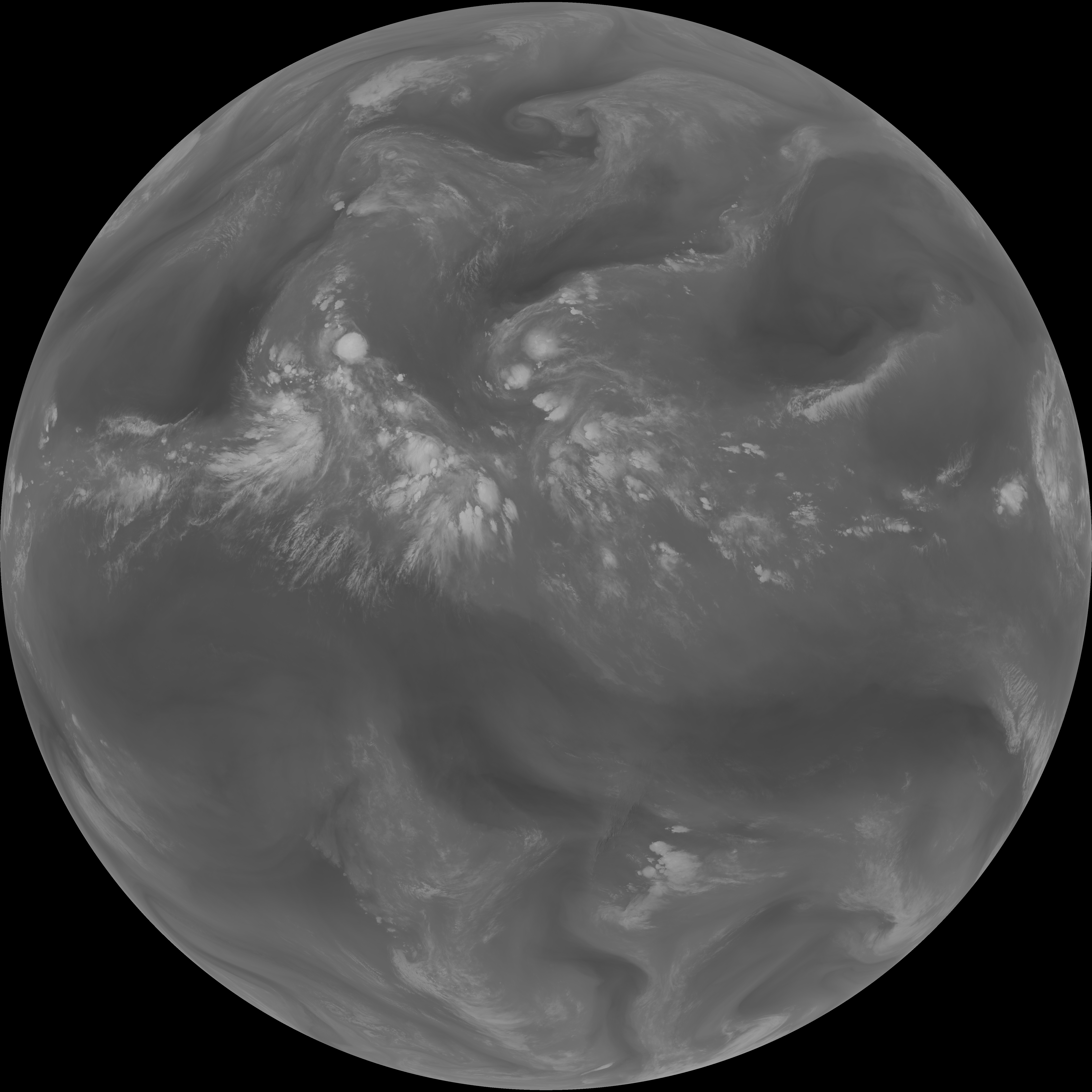
| G19_13_20260607T093021Z.png | 10271141 | 2026-Jun-07 09:46 |
| G19_14_20260607T093021Z.png | 10431845 | 2026-Jun-07 09:54 |
| G19_15_20260607T093021Z.png | 10171111 | 2026-Jun-07 09:57 |
| G19_2_20260607T093021Z.png | 4639297 | 2026-Jun-07 09:48 |
| G19_7_20260607T093021Z.png | 11036296 | 2026-Jun-07 09:43 |
| G19_8_20260607T093021Z.png | 5608552 | 2026-Jun-07 09:49 |
| G19_9_20260607T093021Z.png | 6502139 | 2026-Jun-07 09:51 |
| abi_rgb_Clean_Longwave_IR_Window_Band.png | 13804809 | 2026-Jun-07 09:46 |
| abi_rgb_Clean_Longwave_IR_Window_Band_map.png | 13849082 | 2026-Jun-07 09:46 |
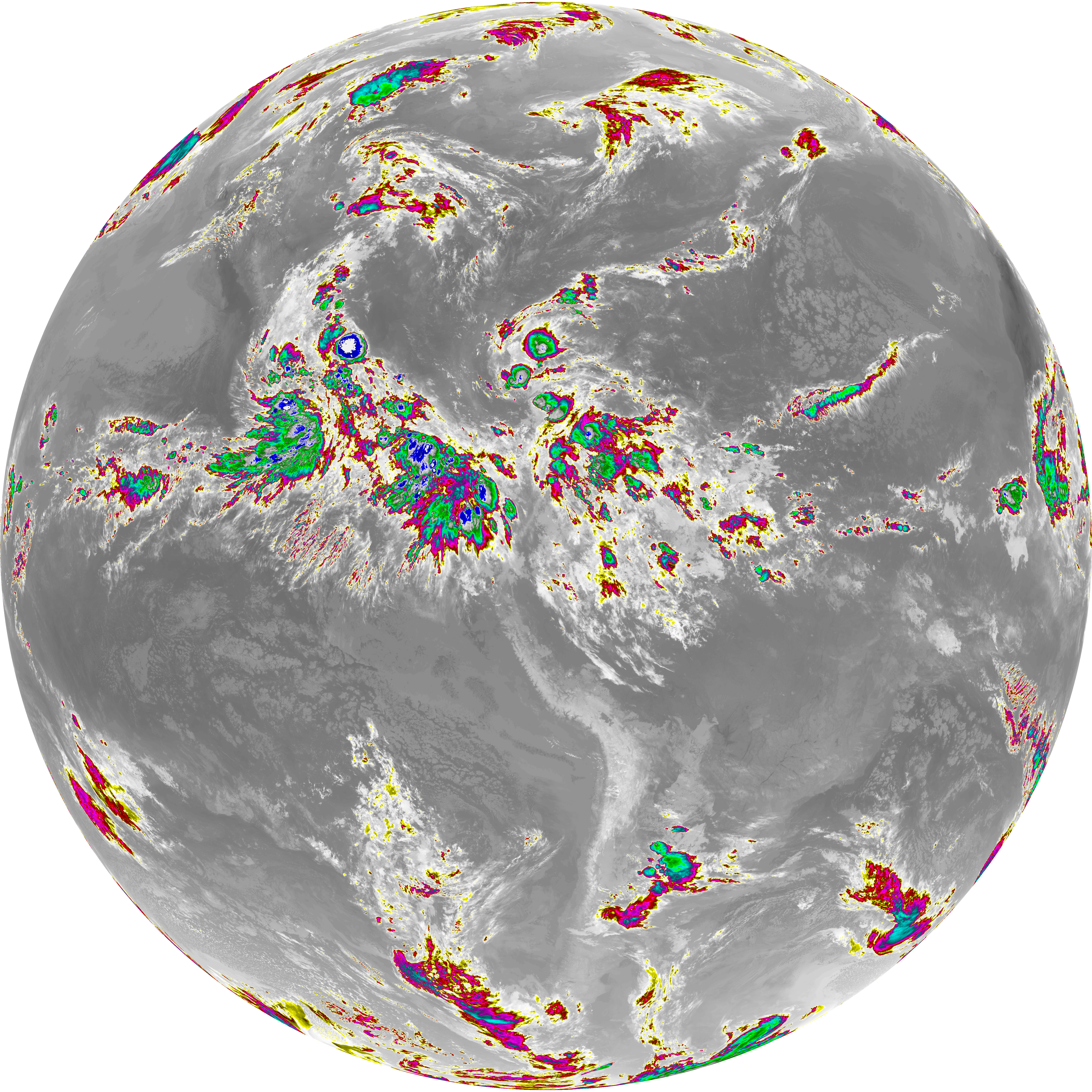
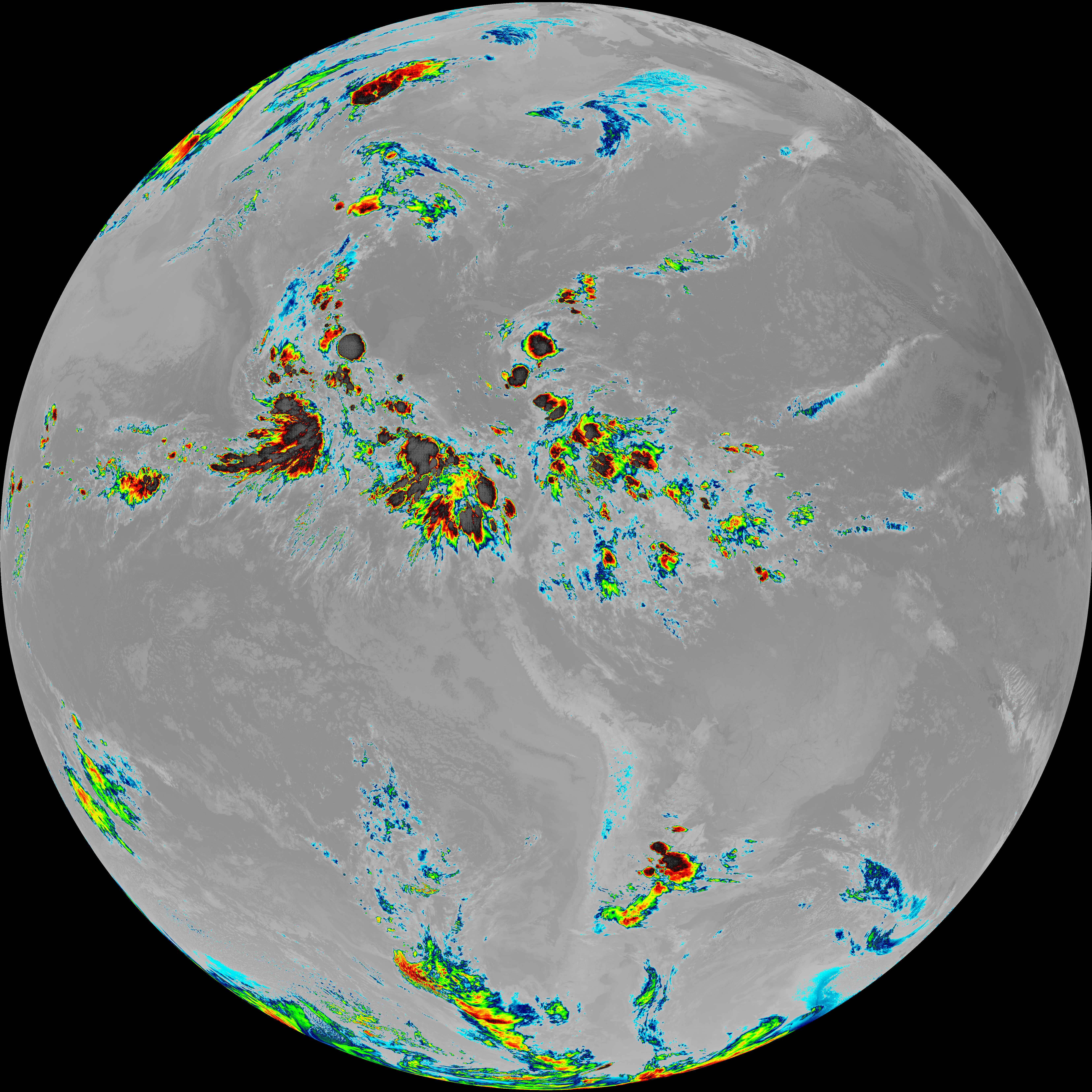
| abi_rgb_Dirty_Longwave_Window.png | 13683759 | 2026-Jun-07 09:57 |
| abi_rgb_Dirty_Longwave_Window_-_CIRA.png | 11940293 | 2026-Jun-07 09:58 |
| abi_rgb_Dirty_Longwave_Window_-_CIRA_map.png | 11998134 | 2026-Jun-07 09:58 |
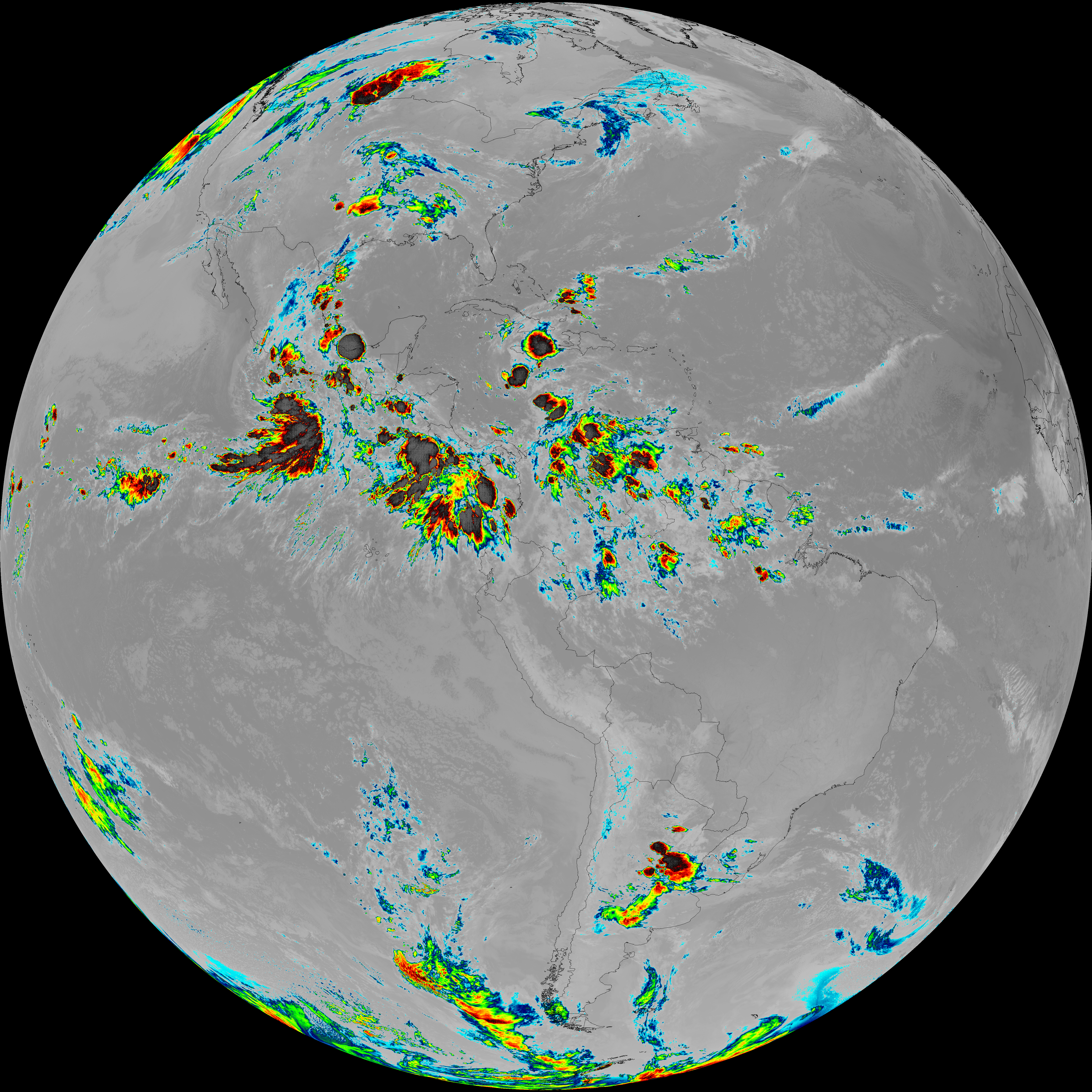
| abi_rgb_Dirty_Longwave_Window_map.png | 13730489 | 2026-Jun-07 09:57 |
| abi_rgb_Infrared_Longwave_Window_Band.png | 13990803 | 2026-Jun-07 09:55 |
| abi_rgb_Infrared_Longwave_Window_Band_map.png | 14034665 | 2026-Jun-07 09:55 |
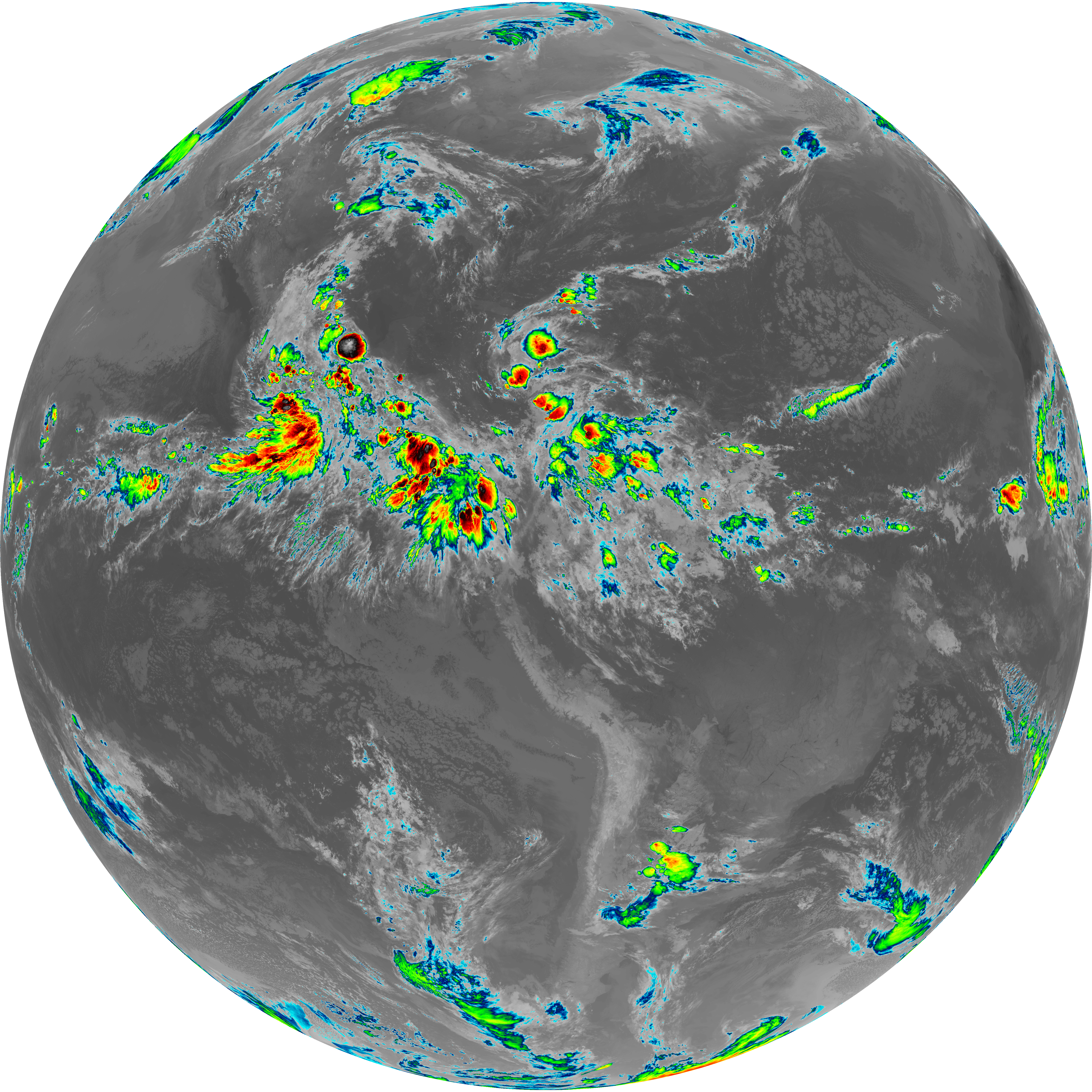
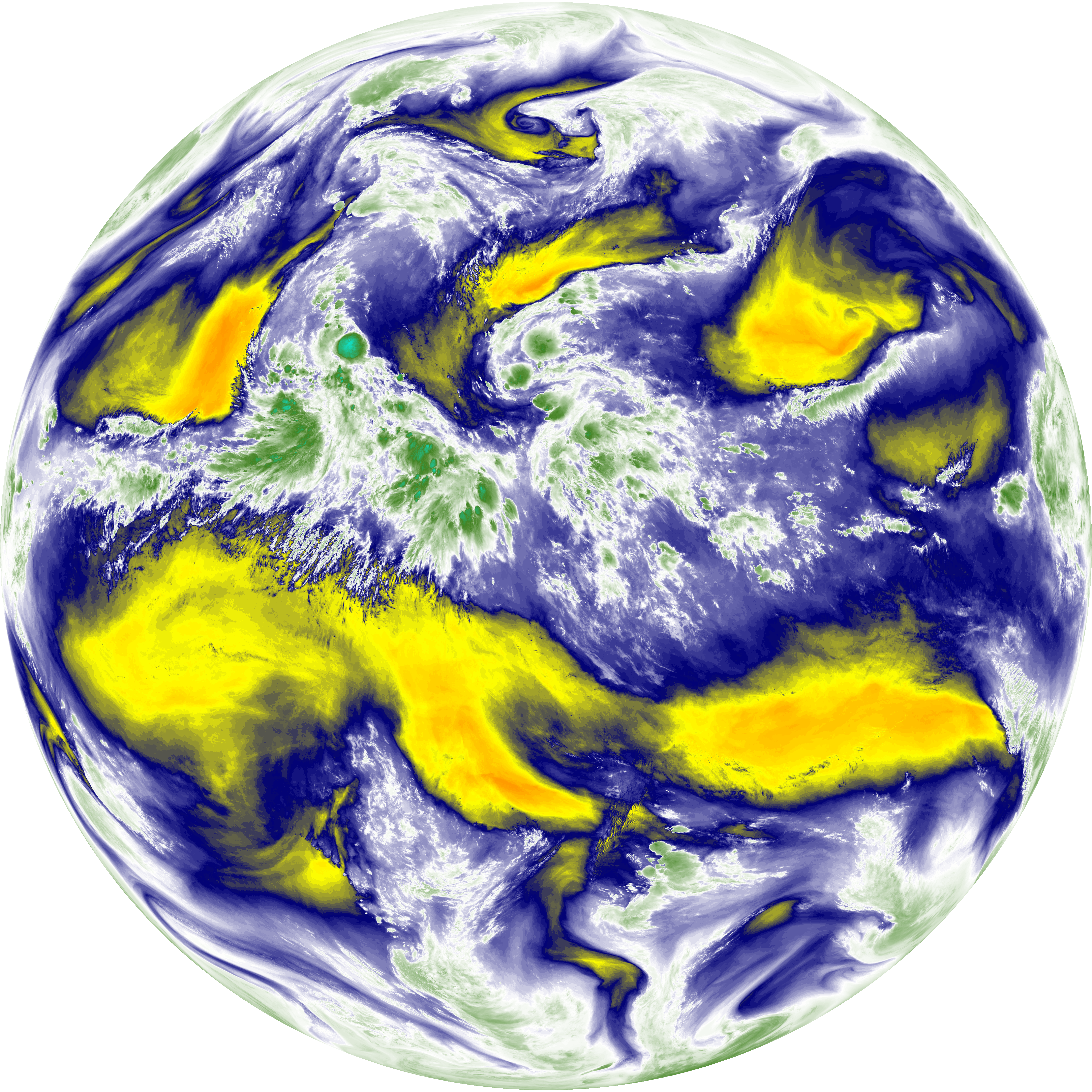
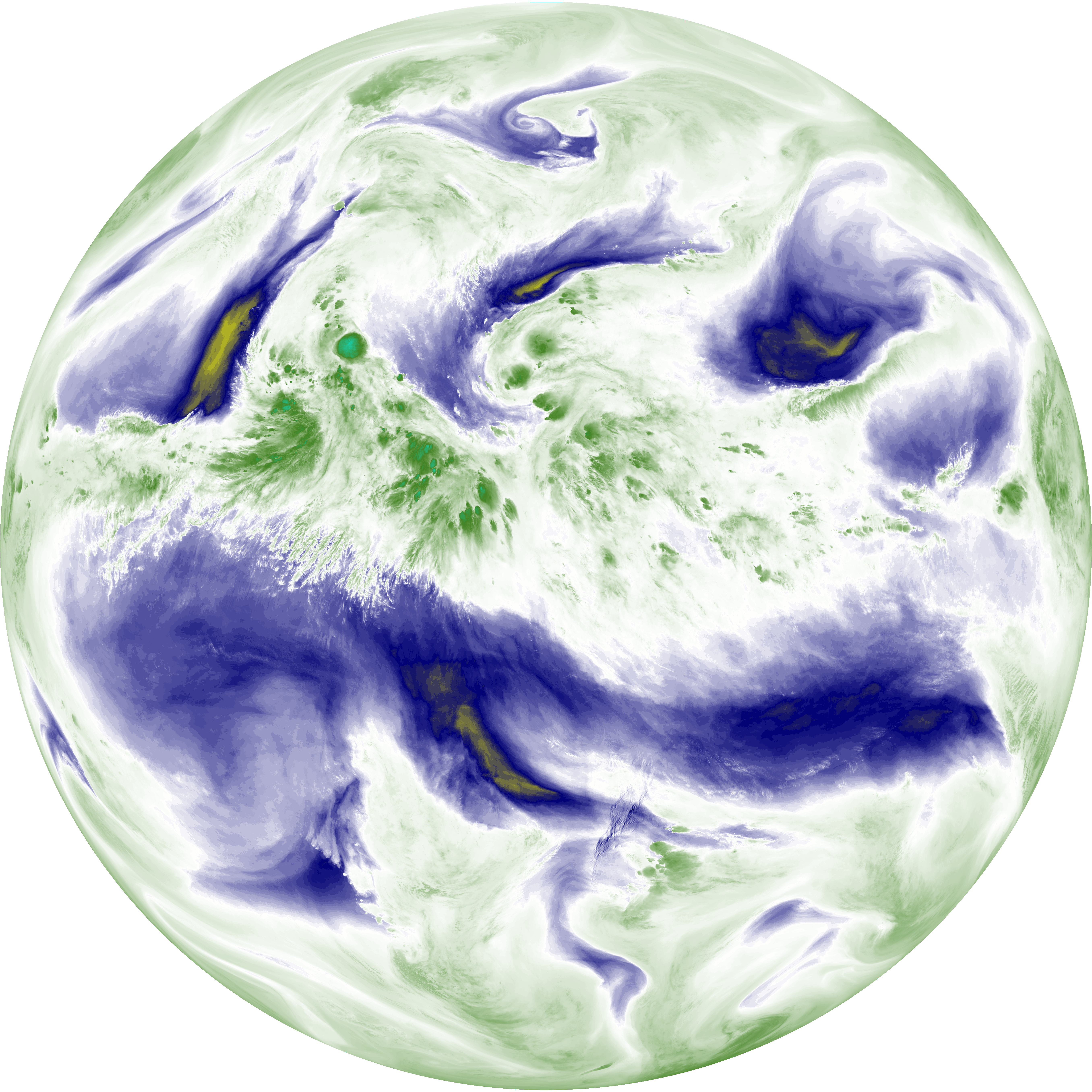
| abi_rgb_Mid-level_Tropospheric_Water_Vapor.png | 8710566 | 2026-Jun-07 09:52 |
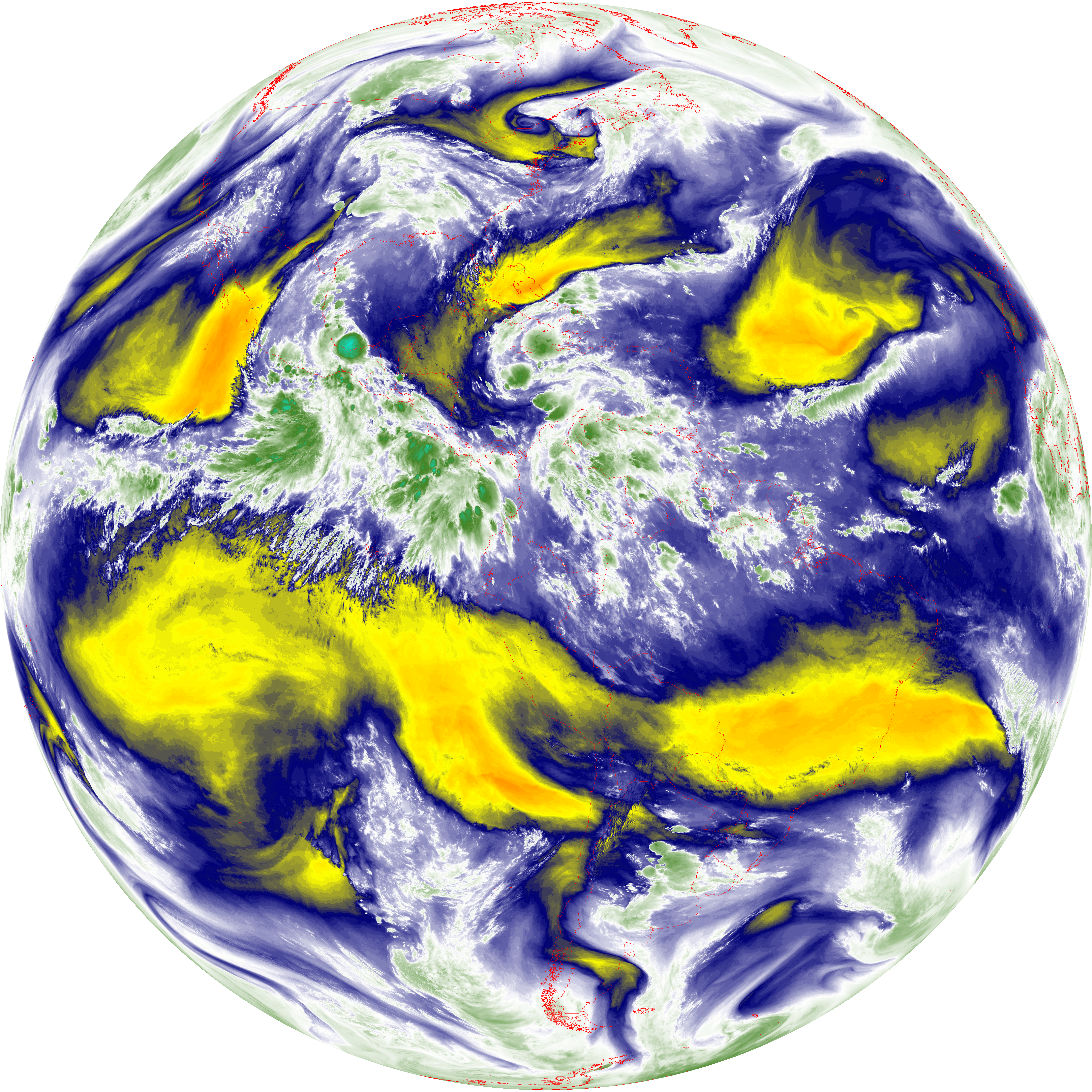
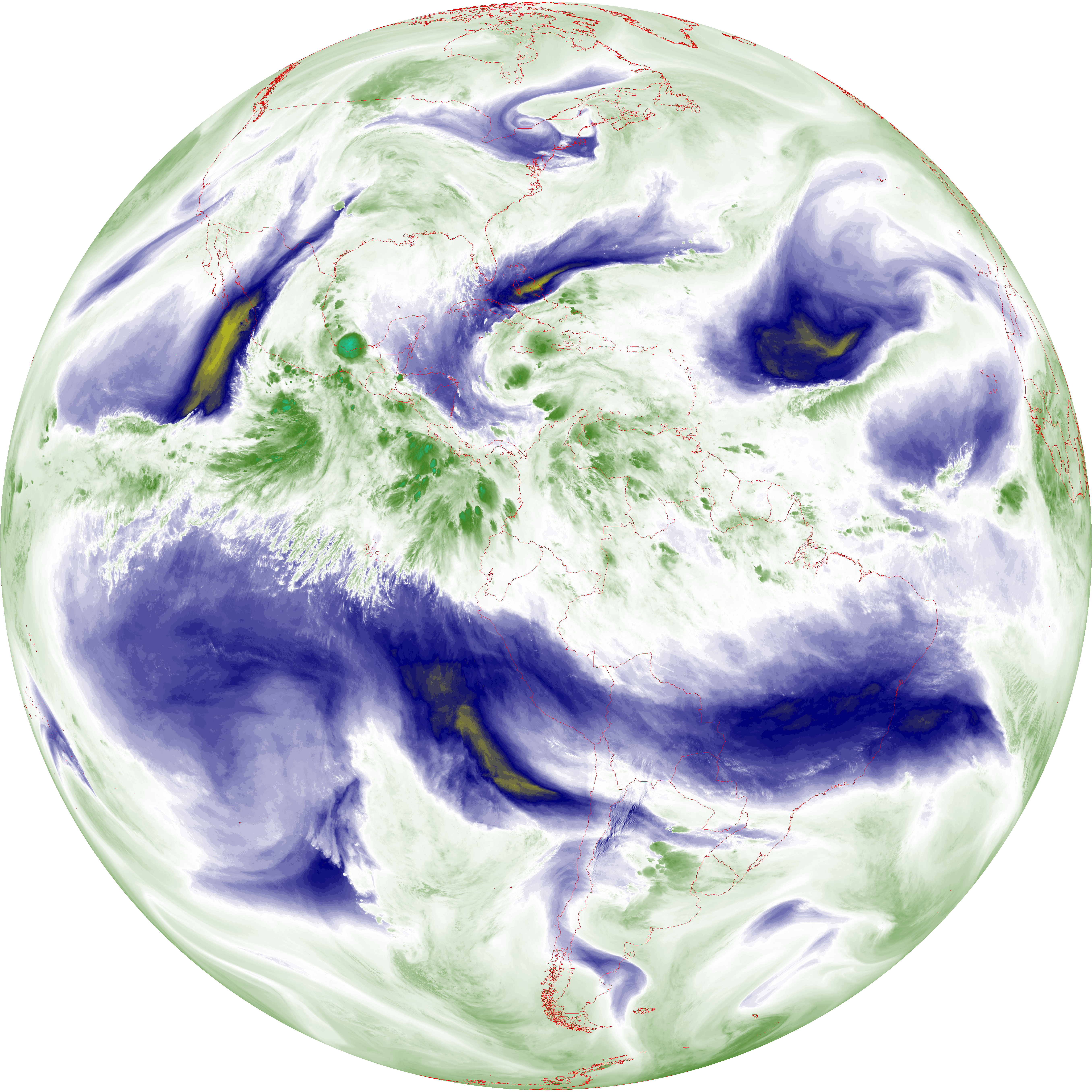
| abi_rgb_Mid-level_Tropospheric_Water_Vapor_map.png | 8810993 | 2026-Jun-07 09:52 |
| abi_rgb_Shortwave_Window_Band.png | 14971591 | 2026-Jun-07 09:43 |
| abi_rgb_Shortwave_Window_Band_map.png | 15027835 | 2026-Jun-07 09:43 |
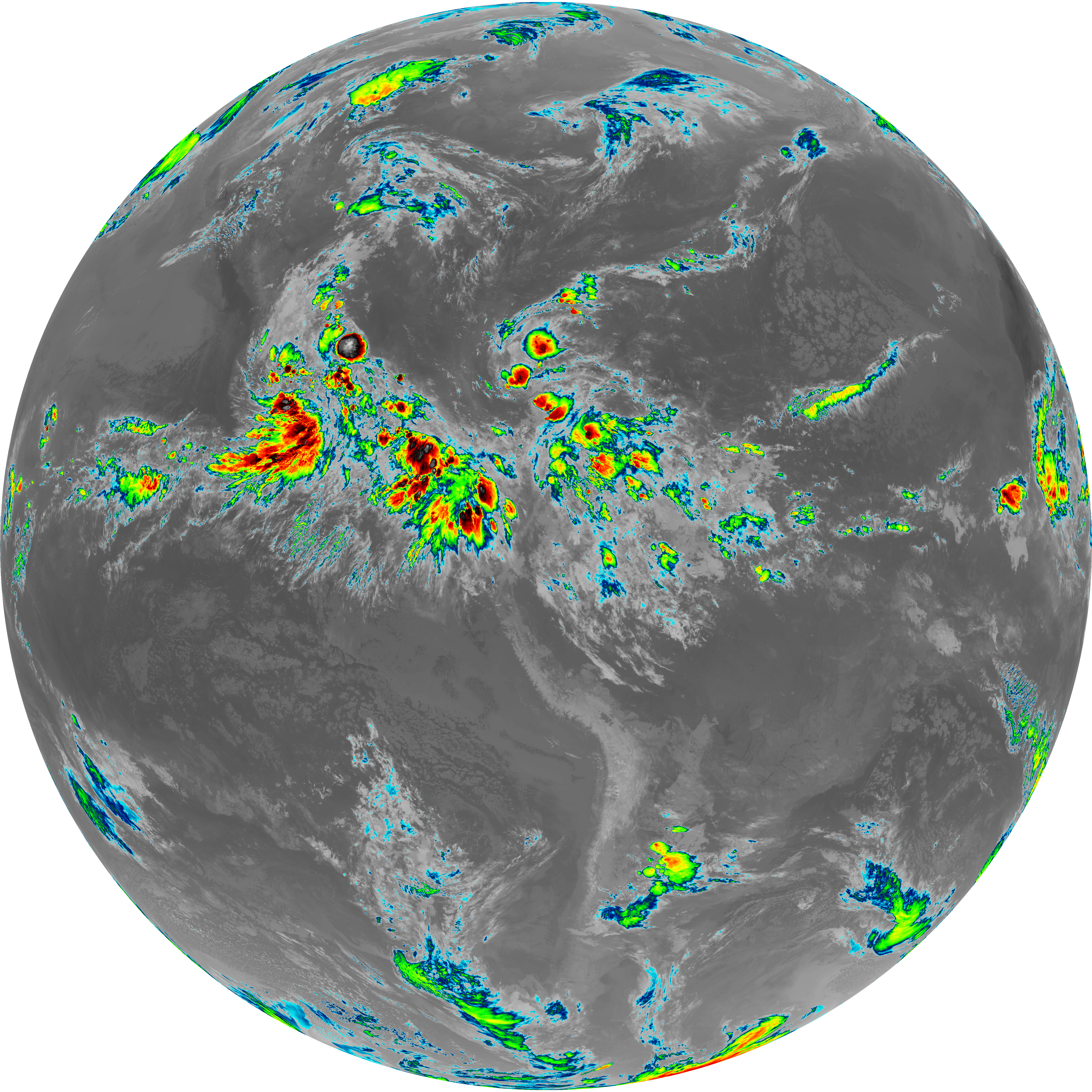
| abi_rgb_Upper-Level_Tropospheric_Water_Vapor.png | 7468429 | 2026-Jun-07 09:50 |
| abi_rgb_Upper-Level_Tropospheric_Water_Vapor_map.png | 7579161 | 2026-Jun-07 09:50 |