| Parent directory/ | - | - |
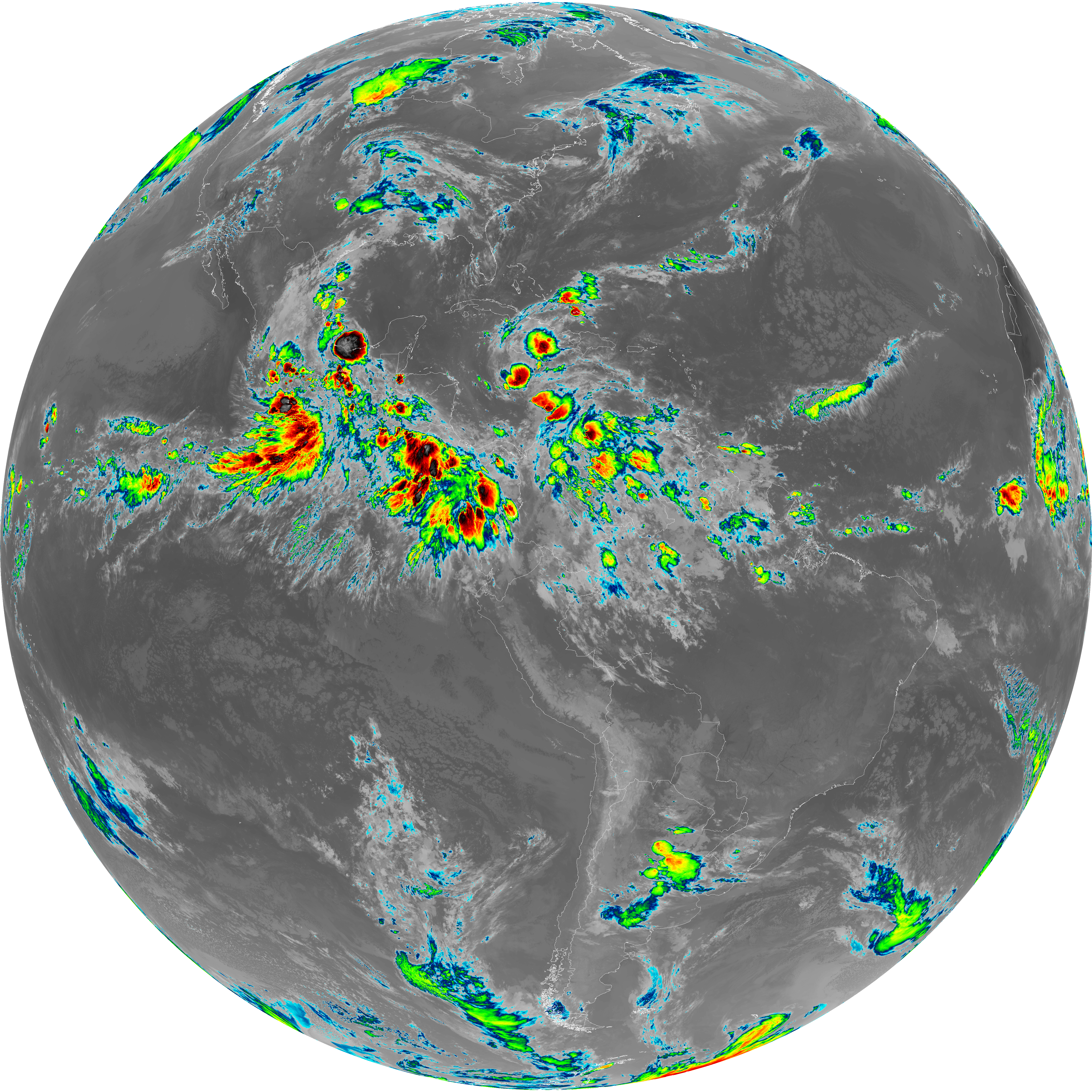
| abi_rgb_Upper-Level_Tropospheric_Water_Vapor_map.png | 7588086 | 2026-Jun-07 10:20 |
| abi_rgb_Upper-Level_Tropospheric_Water_Vapor.png | 7477832 | 2026-Jun-07 10:20 |
| abi_rgb_Shortwave_Window_Band_map.png | 14899122 | 2026-Jun-07 10:13 |
| abi_rgb_Shortwave_Window_Band.png | 14842422 | 2026-Jun-07 10:13 |
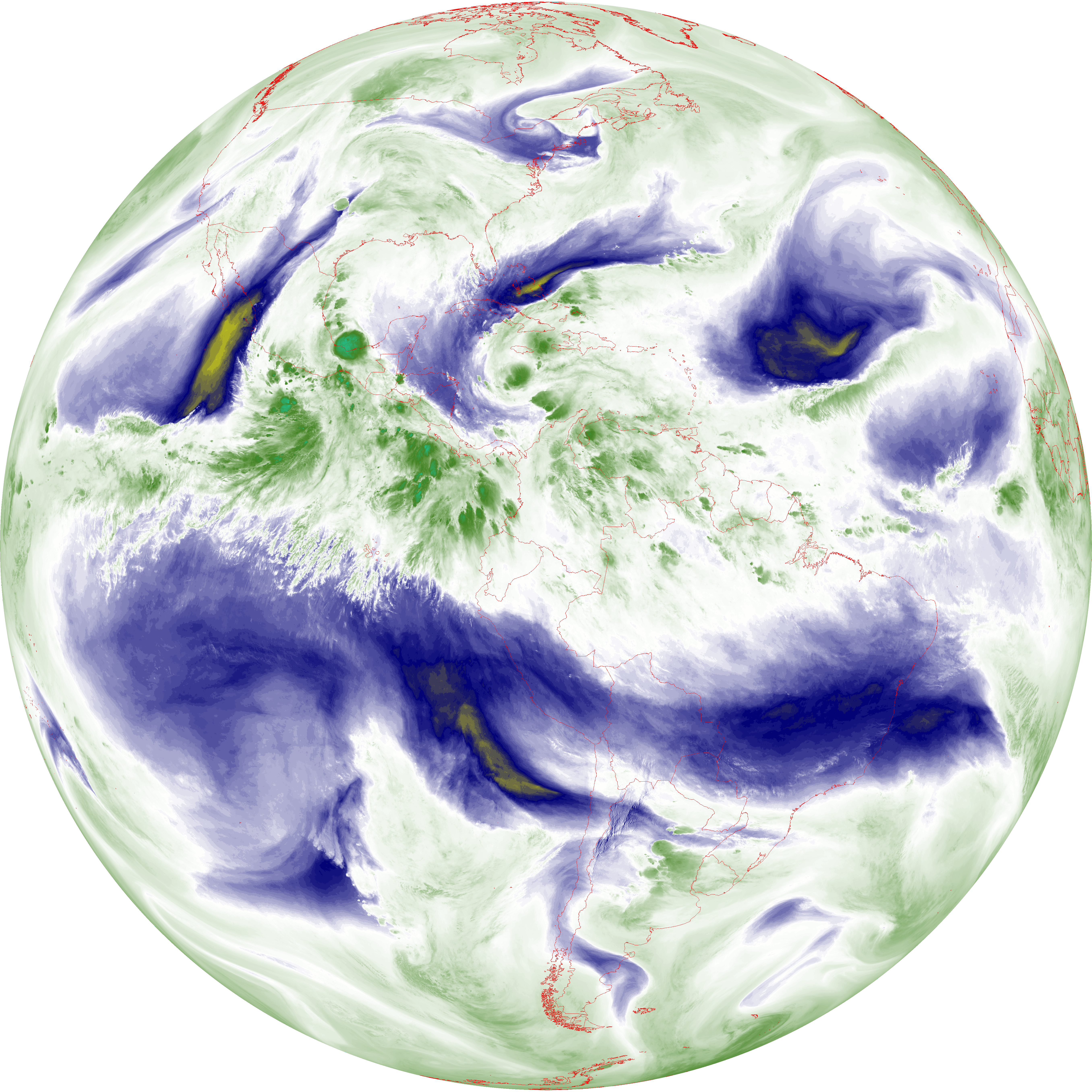
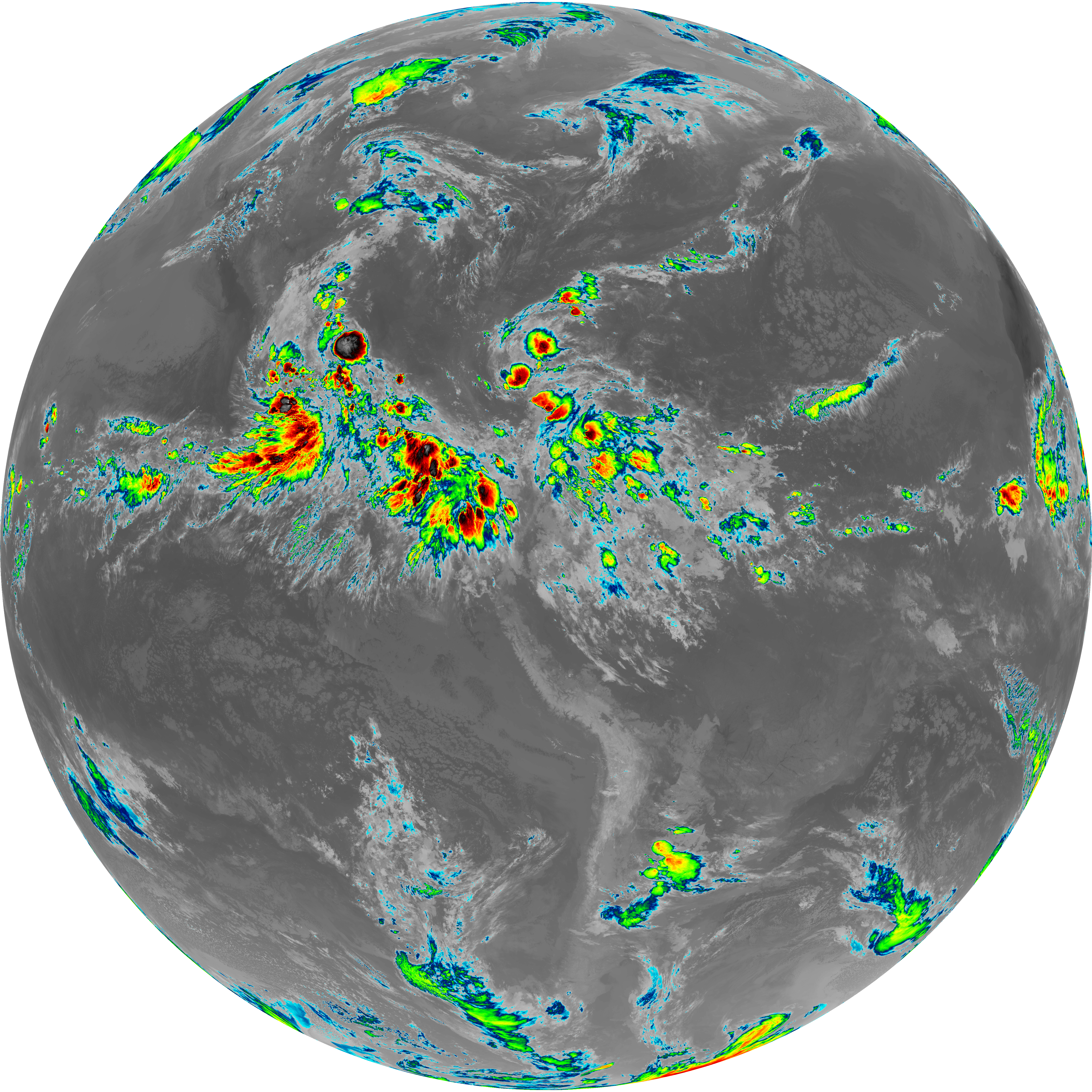
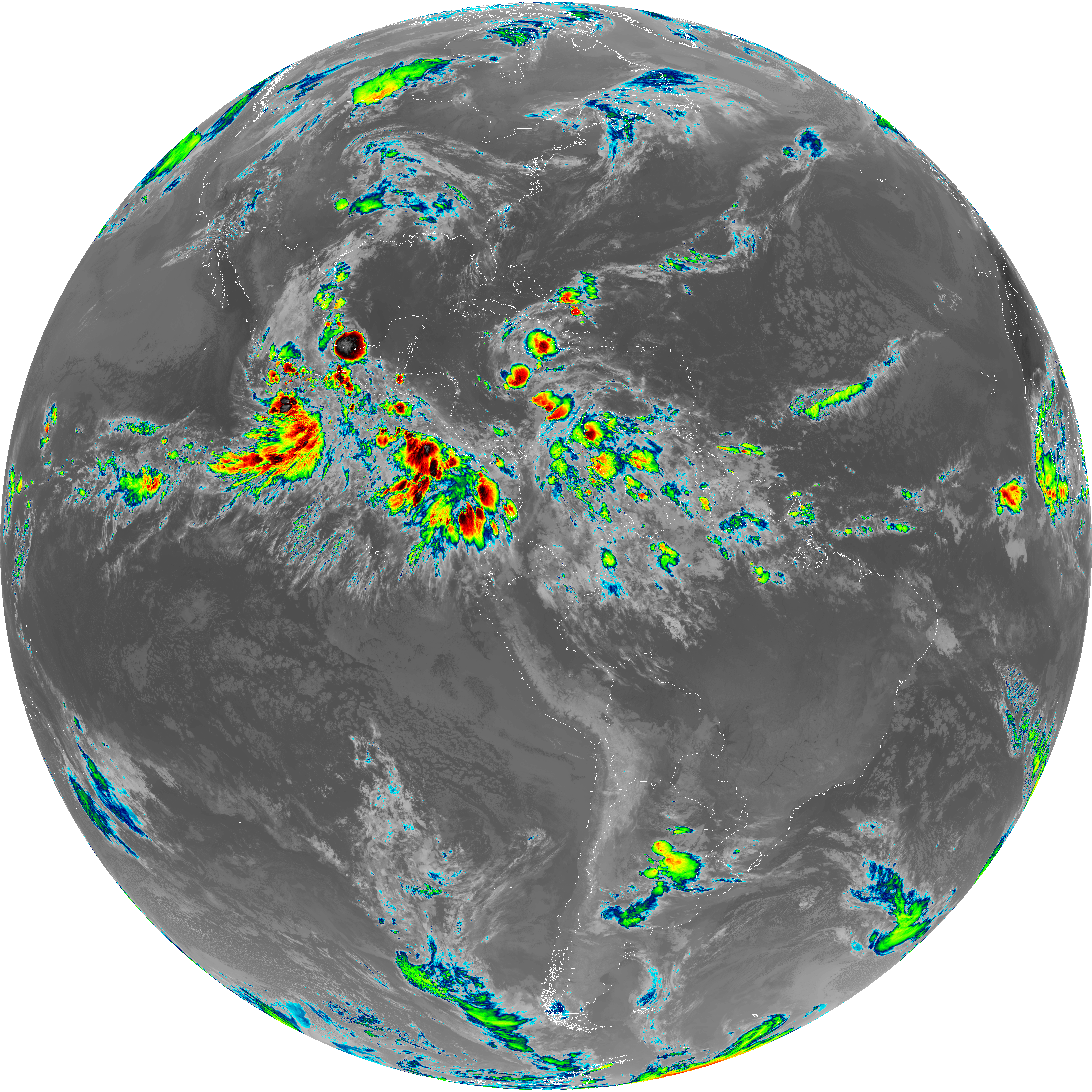
| abi_rgb_Mid-level_Tropospheric_Water_Vapor_map.png | 8801910 | 2026-Jun-07 10:22 |
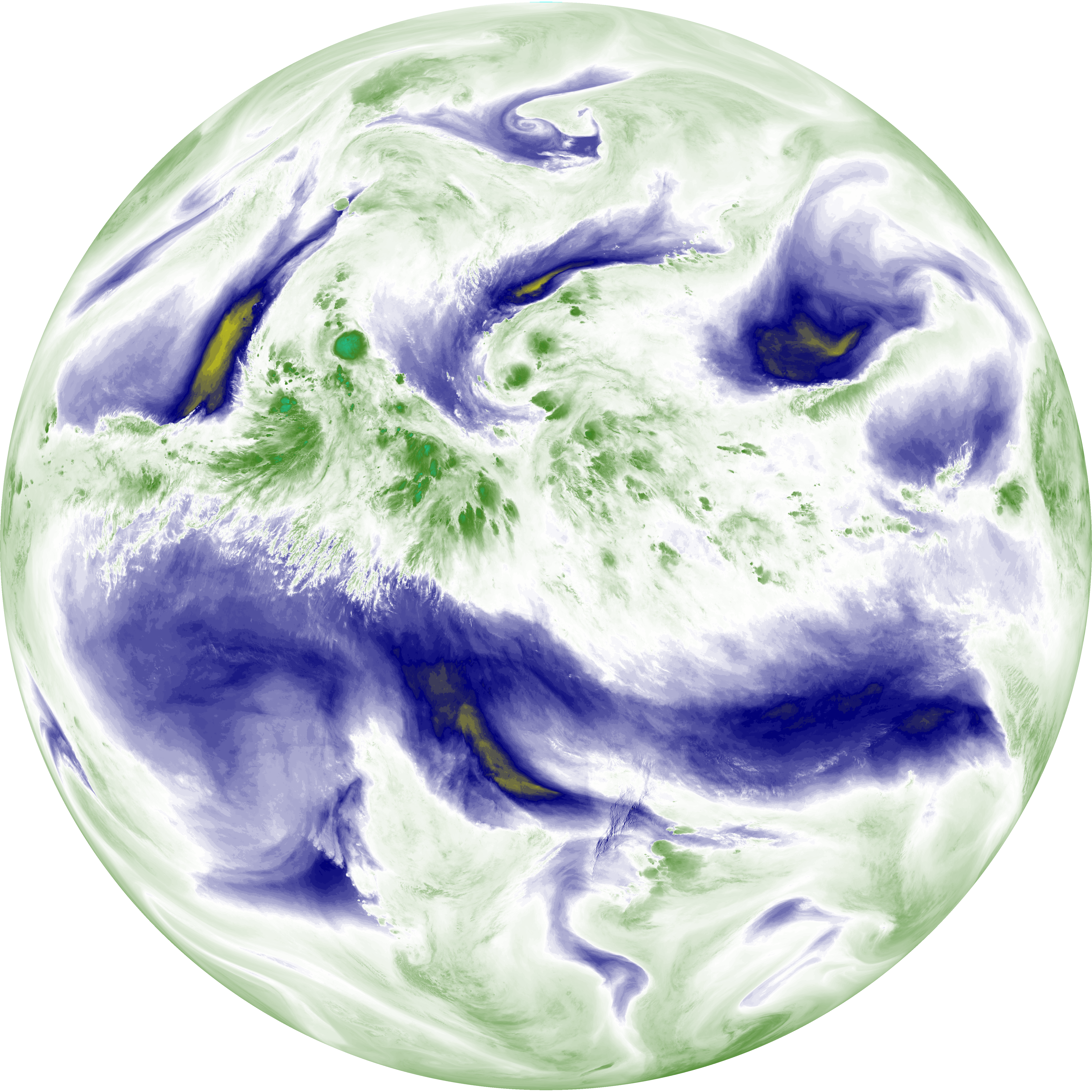
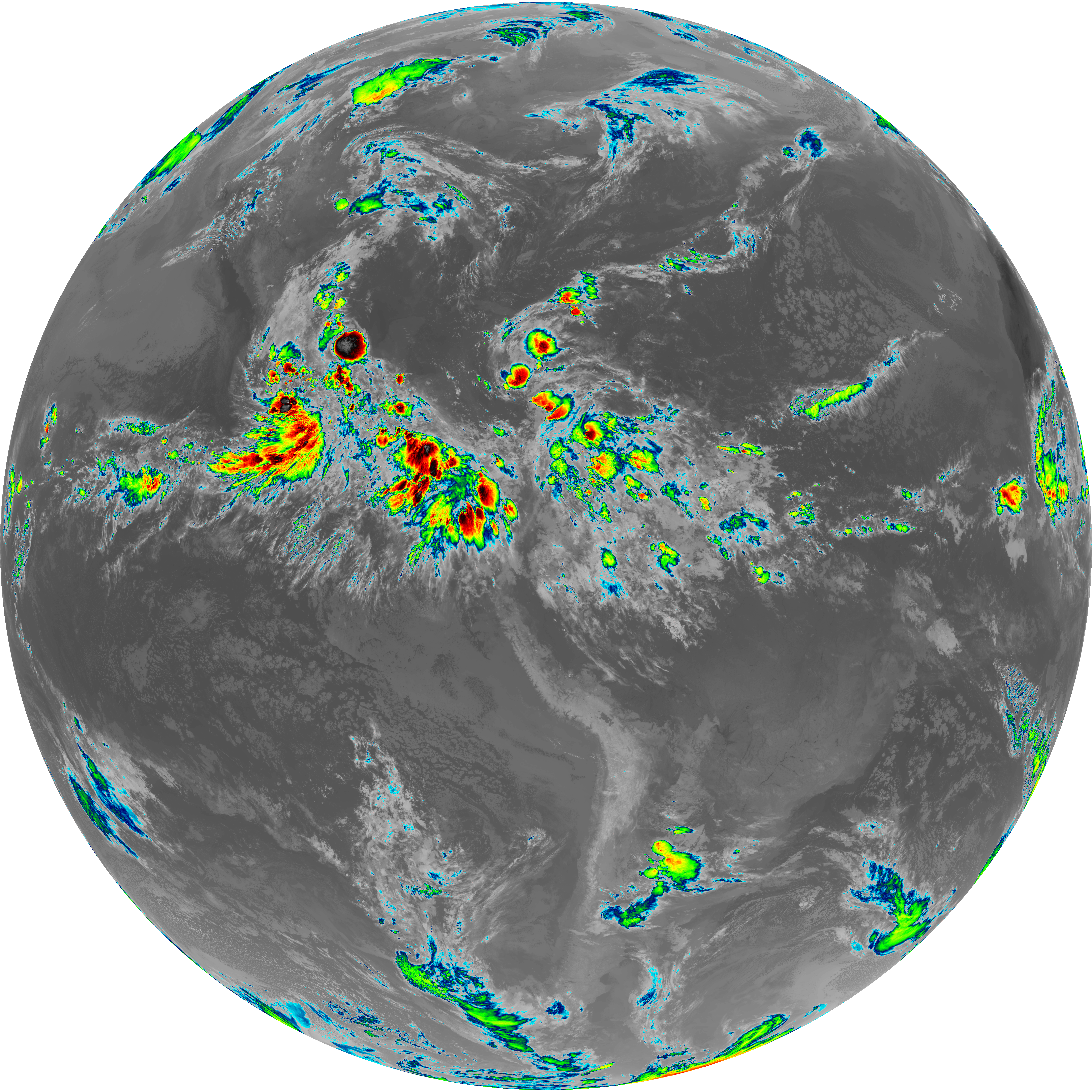
| abi_rgb_Mid-level_Tropospheric_Water_Vapor.png | 8701772 | 2026-Jun-07 10:22 |
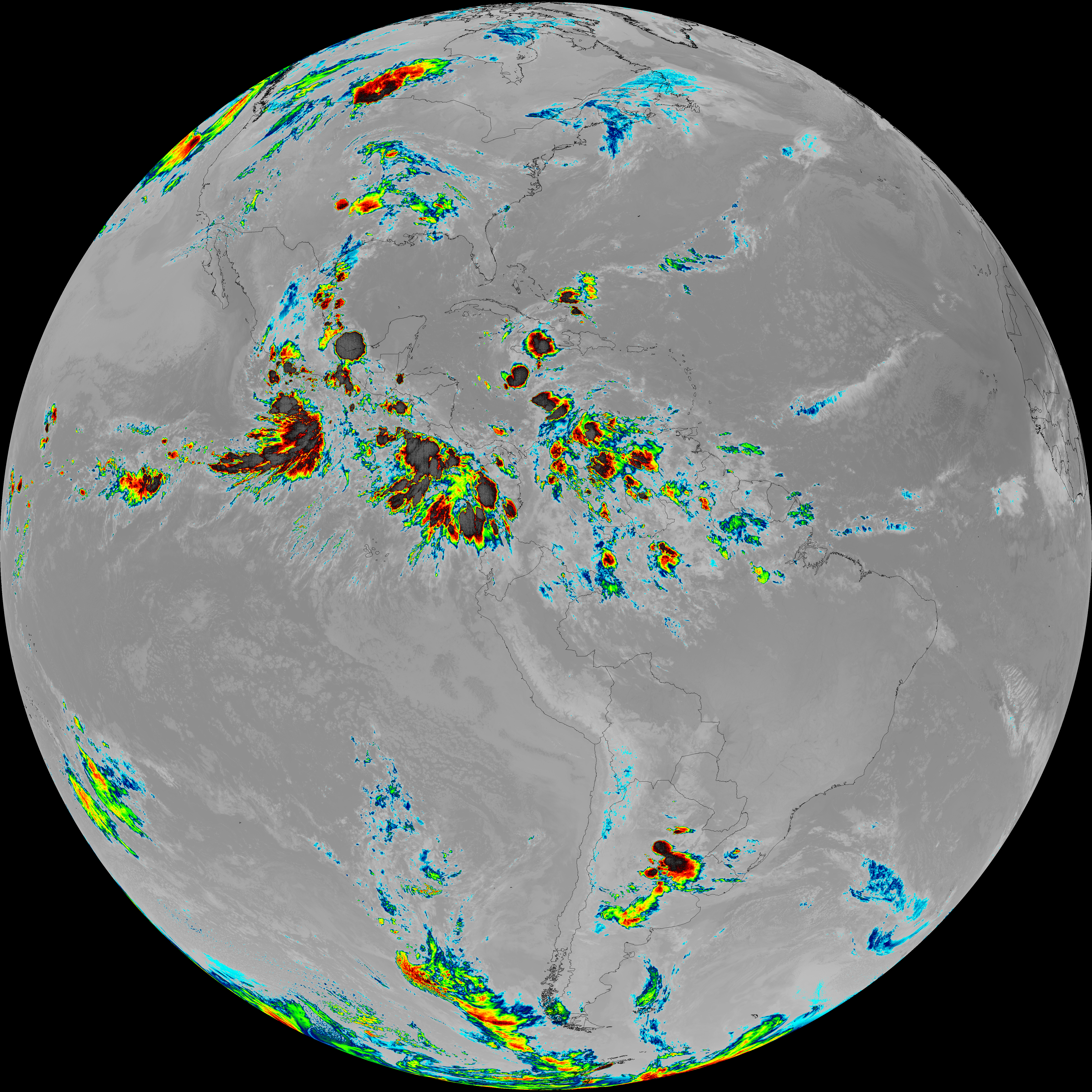
| abi_rgb_Infrared_Longwave_Window_Band_map.png | 14008947 | 2026-Jun-07 10:25 |
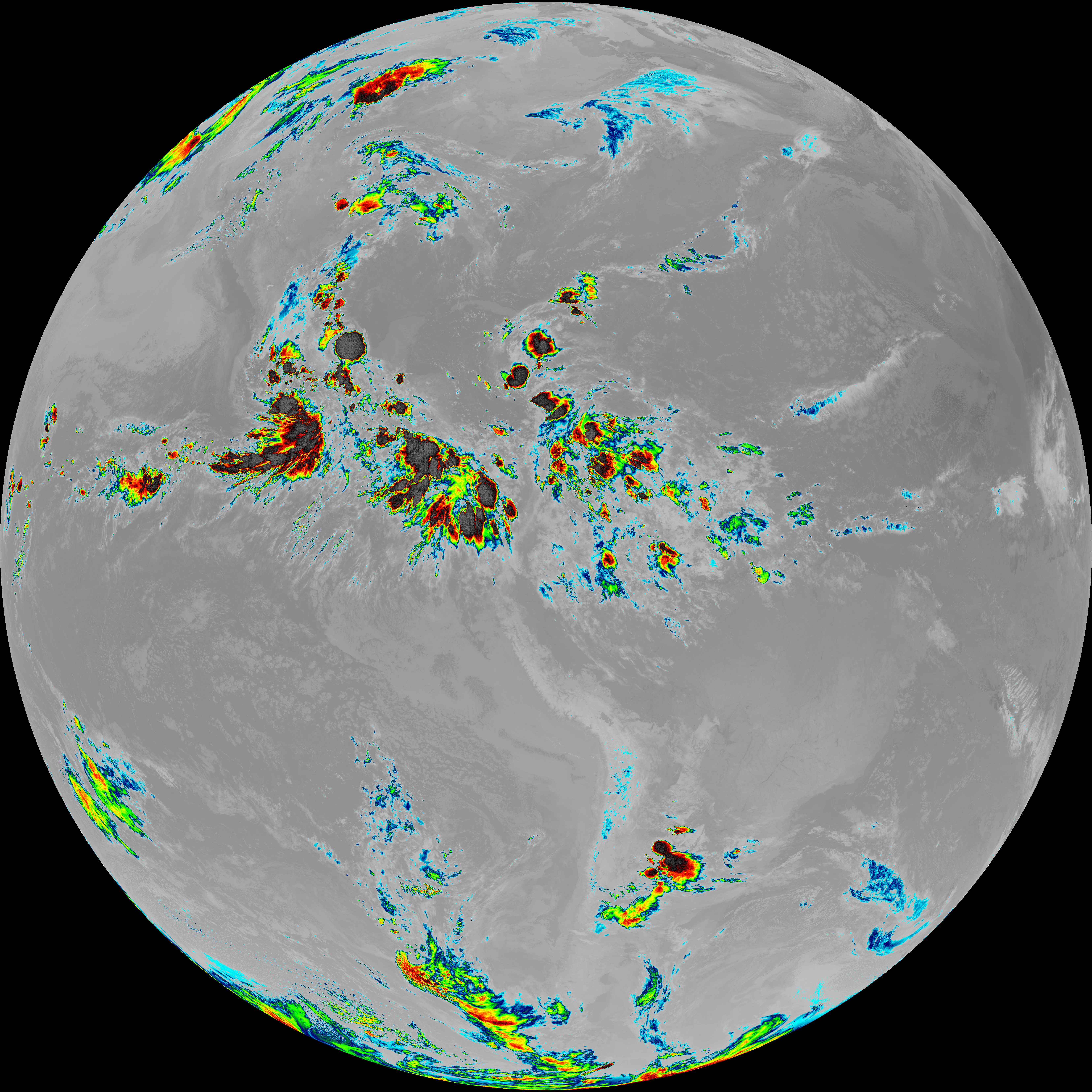
| abi_rgb_Infrared_Longwave_Window_Band.png | 13967245 | 2026-Jun-07 10:25 |
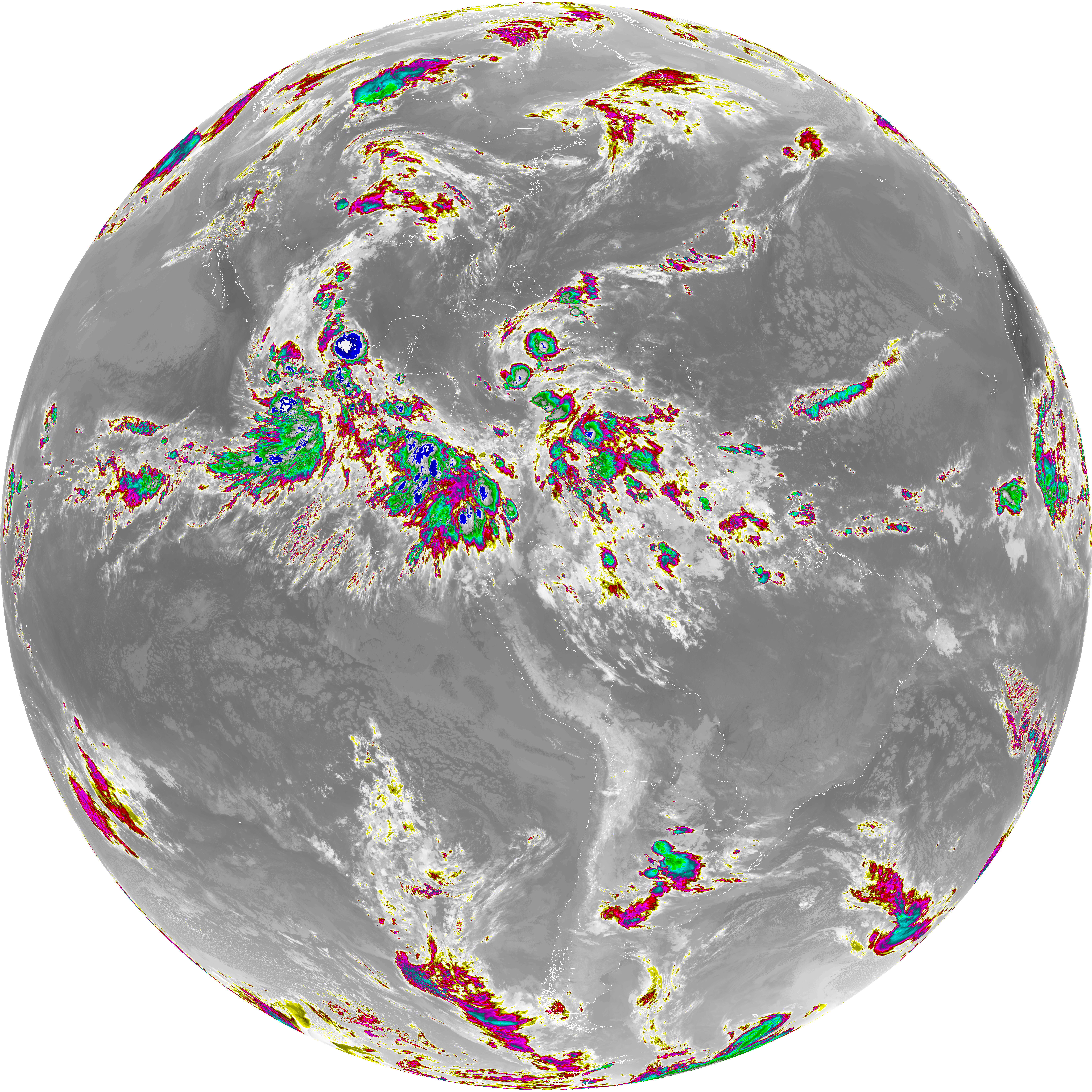
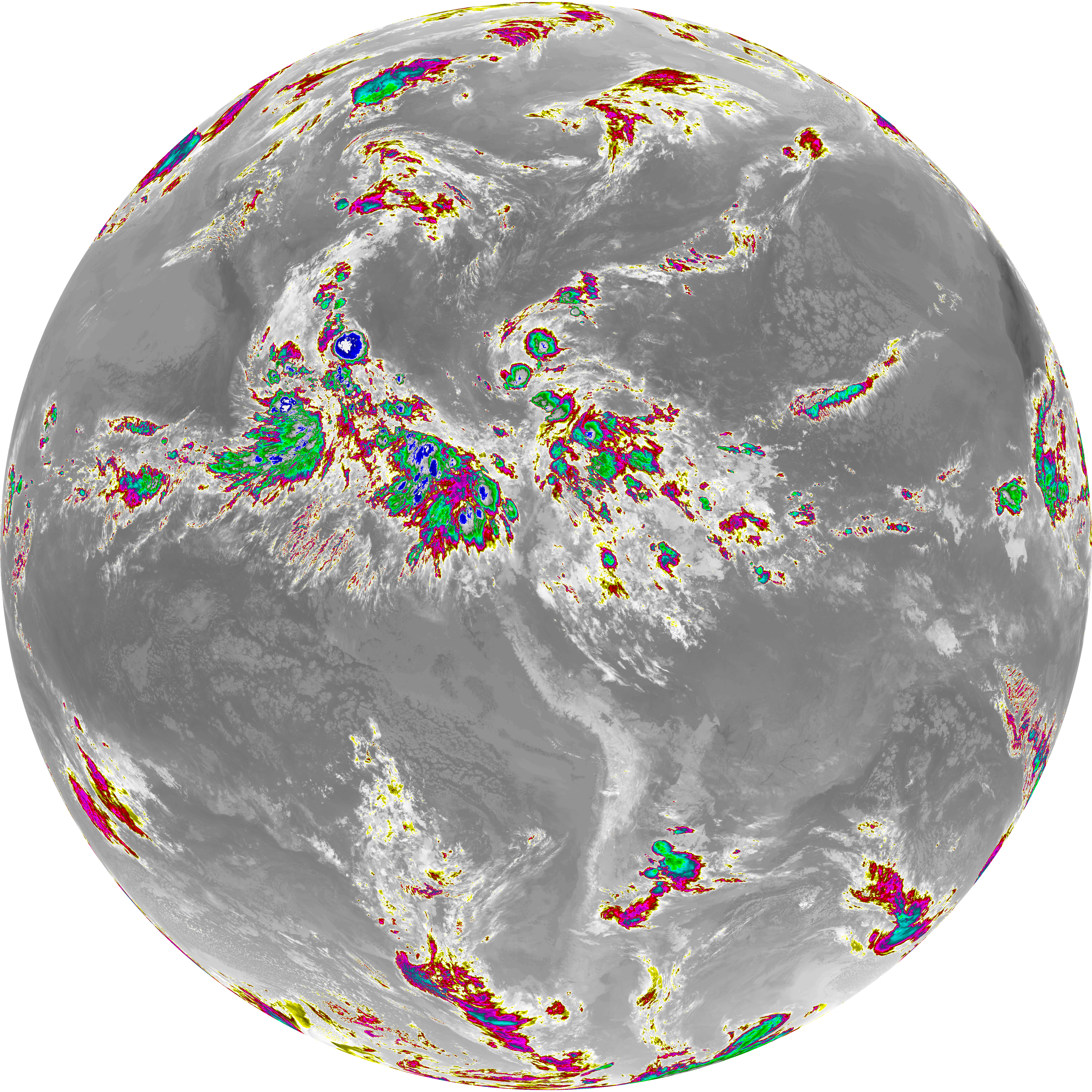
| abi_rgb_Dirty_Longwave_Window_map.png | 13708330 | 2026-Jun-07 10:28 |
| abi_rgb_Dirty_Longwave_Window_-_CIRA_map.png | 11983776 | 2026-Jun-07 10:28 |
| abi_rgb_Dirty_Longwave_Window_-_CIRA.png | 11927006 | 2026-Jun-07 10:28 |
| abi_rgb_Dirty_Longwave_Window.png | 13662709 | 2026-Jun-07 10:28 |
| abi_rgb_Clean_Longwave_IR_Window_Band_map.png | 13817887 | 2026-Jun-07 10:16 |
| abi_rgb_Clean_Longwave_IR_Window_Band.png | 13775325 | 2026-Jun-07 10:16 |
| G19_9_20260607T100021Z.png | 6494800 | 2026-Jun-07 10:22 |
| G19_8_20260607T100021Z.png | 5616928 | 2026-Jun-07 10:20 |
| G19_7_20260607T100021Z.png | 10913137 | 2026-Jun-07 10:13 |
| G19_2_20260607T100021Z.png | 5387132 | 2026-Jun-07 10:18 |
| G19_15_20260607T100021Z.png | 10153358 | 2026-Jun-07 10:28 |
| G19_14_20260607T100021Z.png | 10411674 | 2026-Jun-07 10:25 |
| G19_13_20260607T100021Z.png | 10248456 | 2026-Jun-07 10:16 |