| Parent directory/ | - | - |
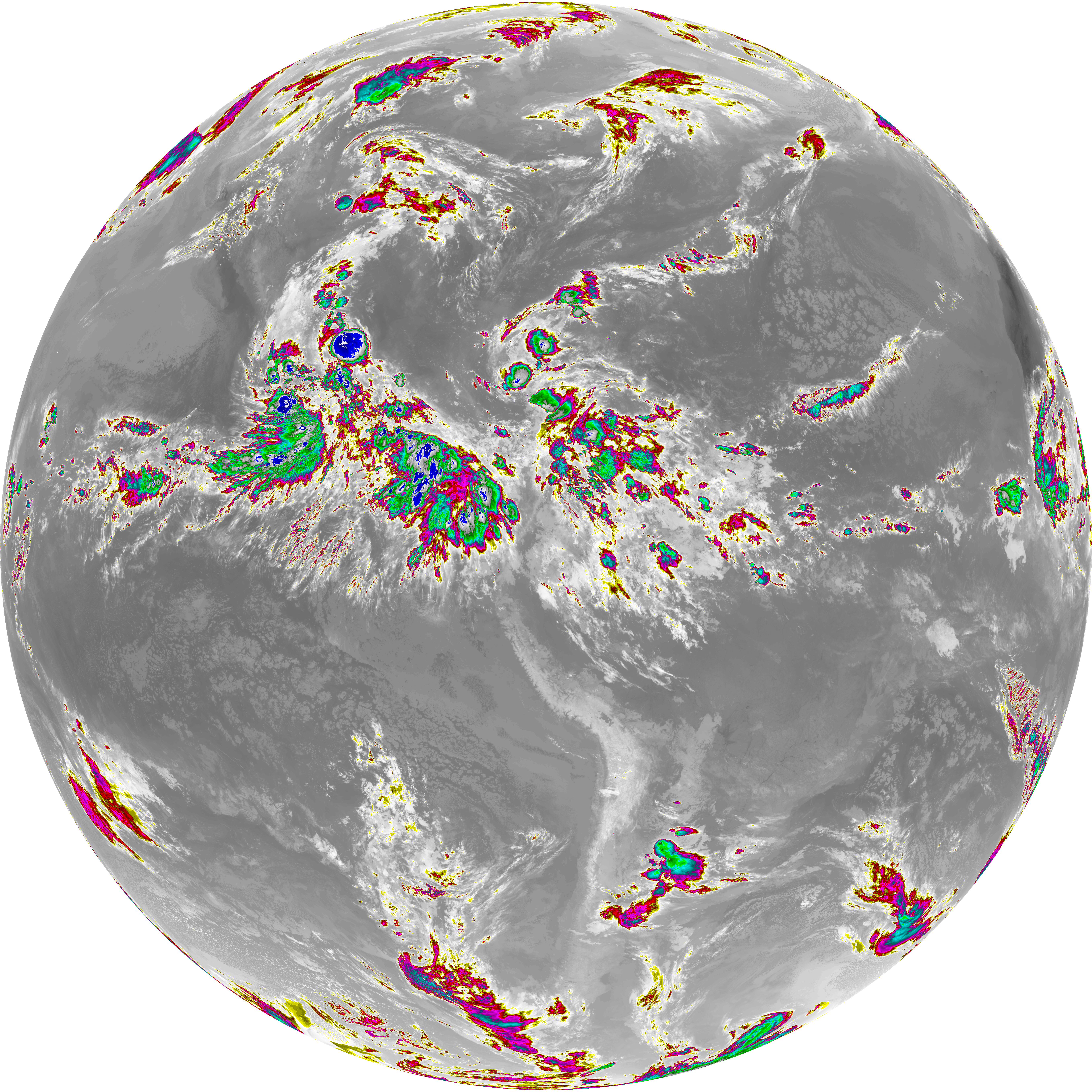
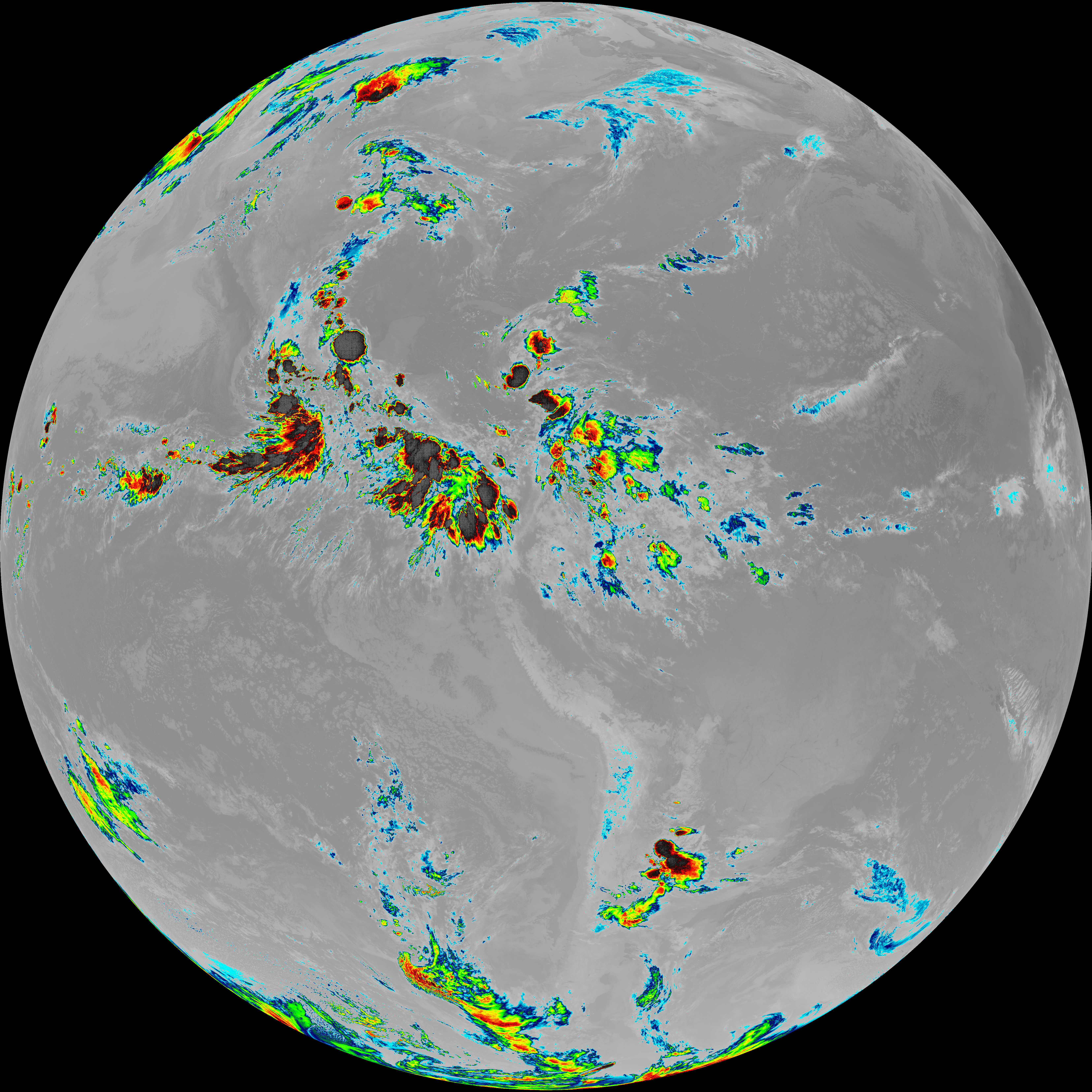
| abi_rgb_Dirty_Longwave_Window_-_CIRA_map.png | 11968904 | 2026-Jun-07 10:58 |
| abi_rgb_Dirty_Longwave_Window_-_CIRA.png | 11910560 | 2026-Jun-07 10:58 |
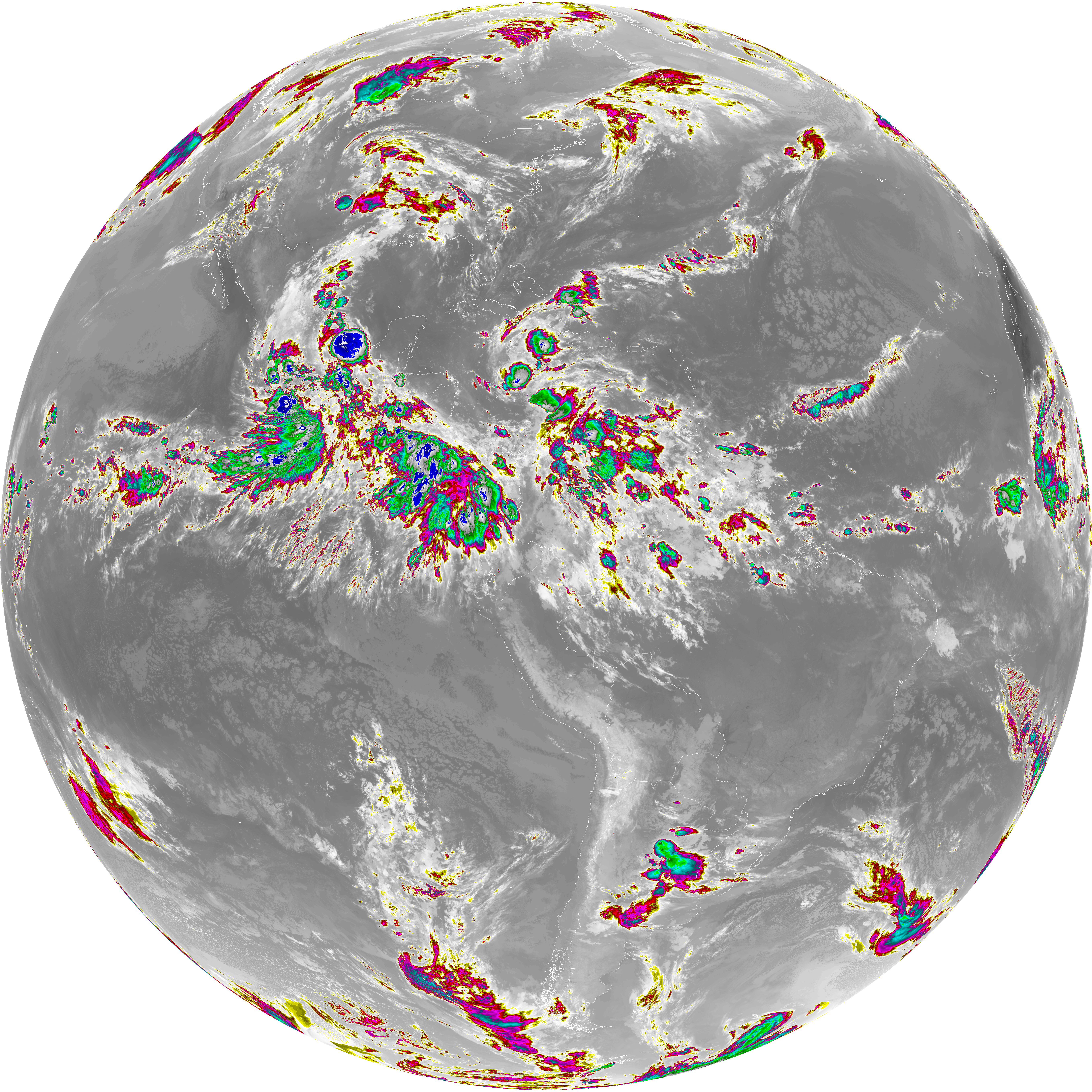
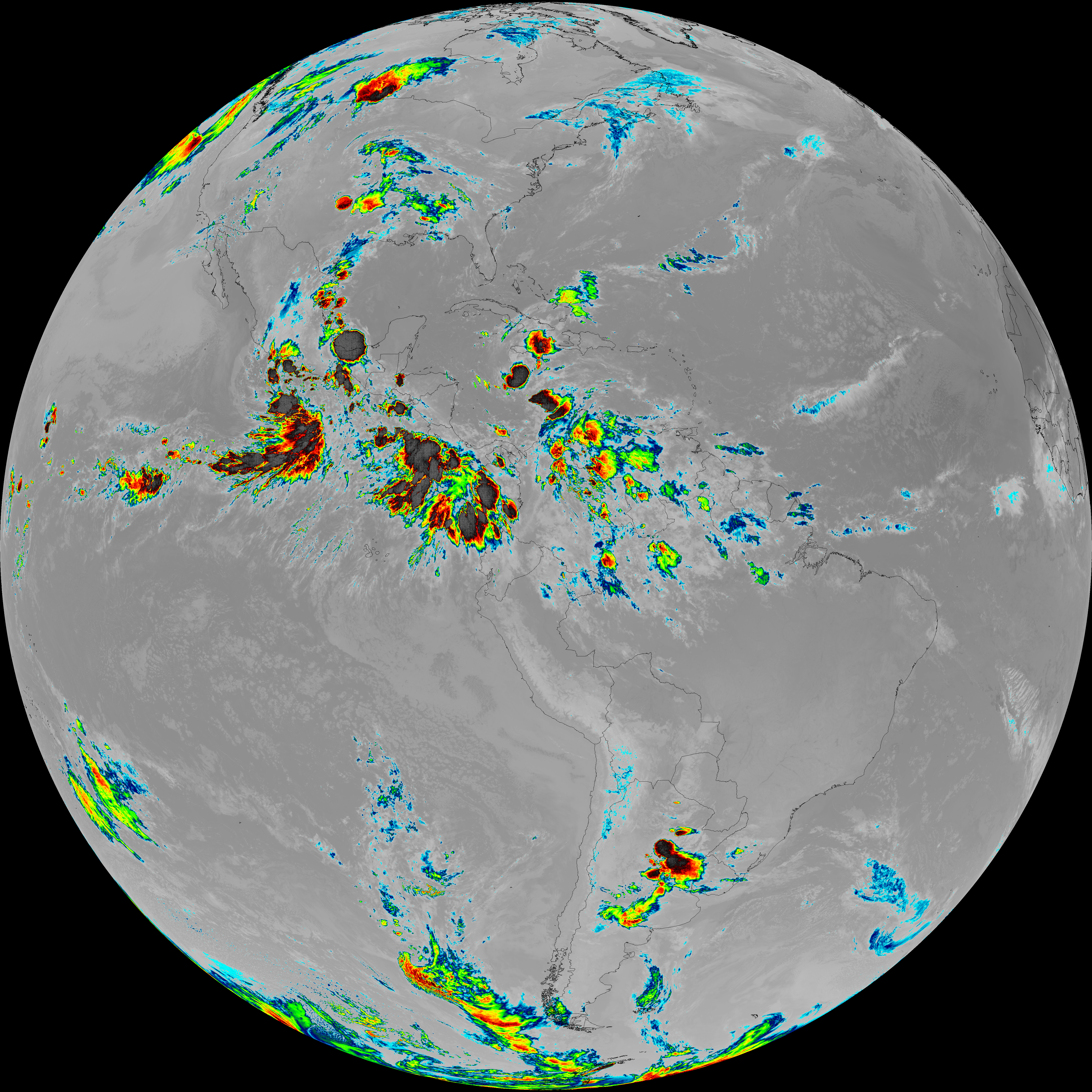
| abi_rgb_Dirty_Longwave_Window_map.png | 13679185 | 2026-Jun-07 10:58 |
| abi_rgb_Dirty_Longwave_Window.png | 13632899 | 2026-Jun-07 10:58 |
| G19_15_20260607T103021Z.png | 10128052 | 2026-Jun-07 10:58 |
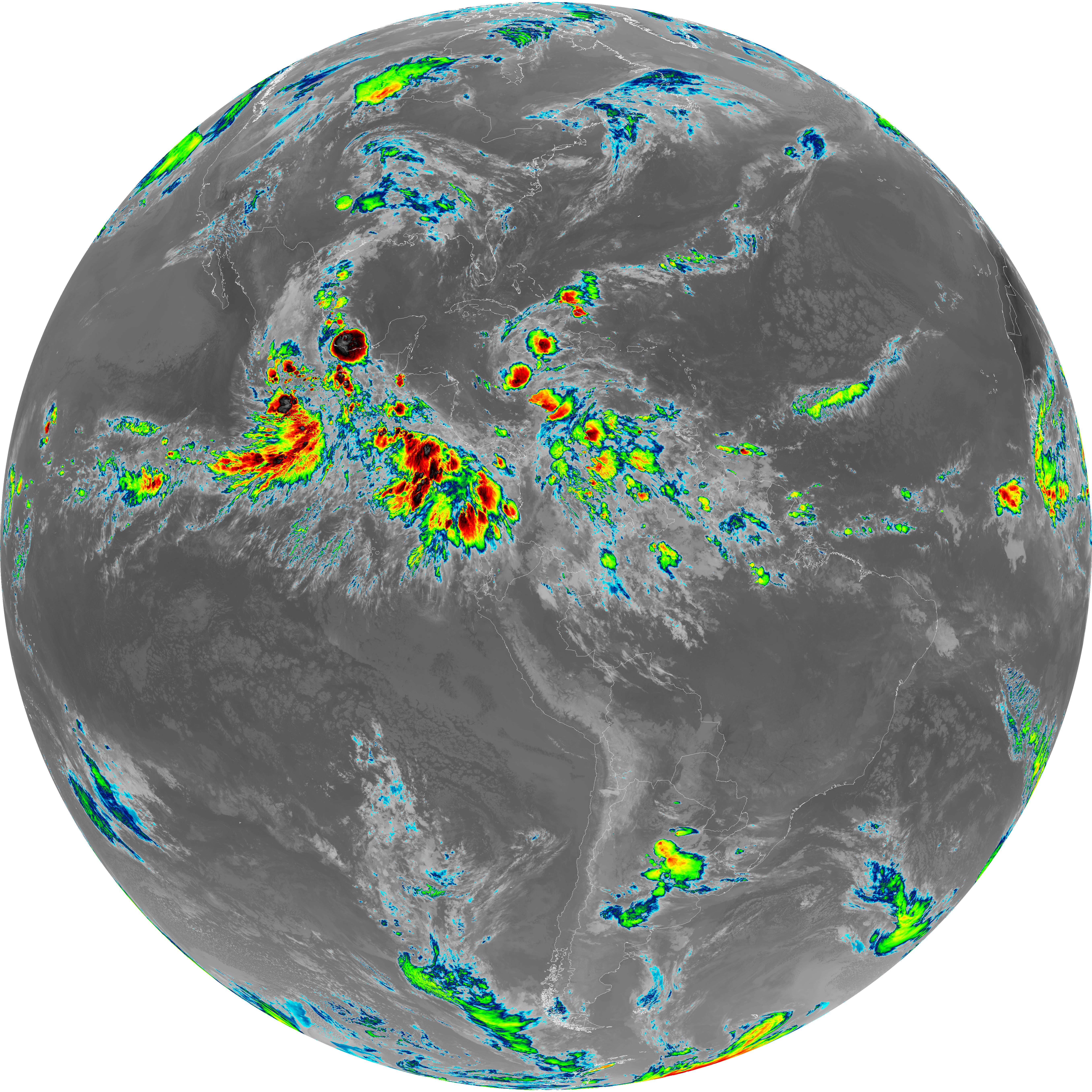
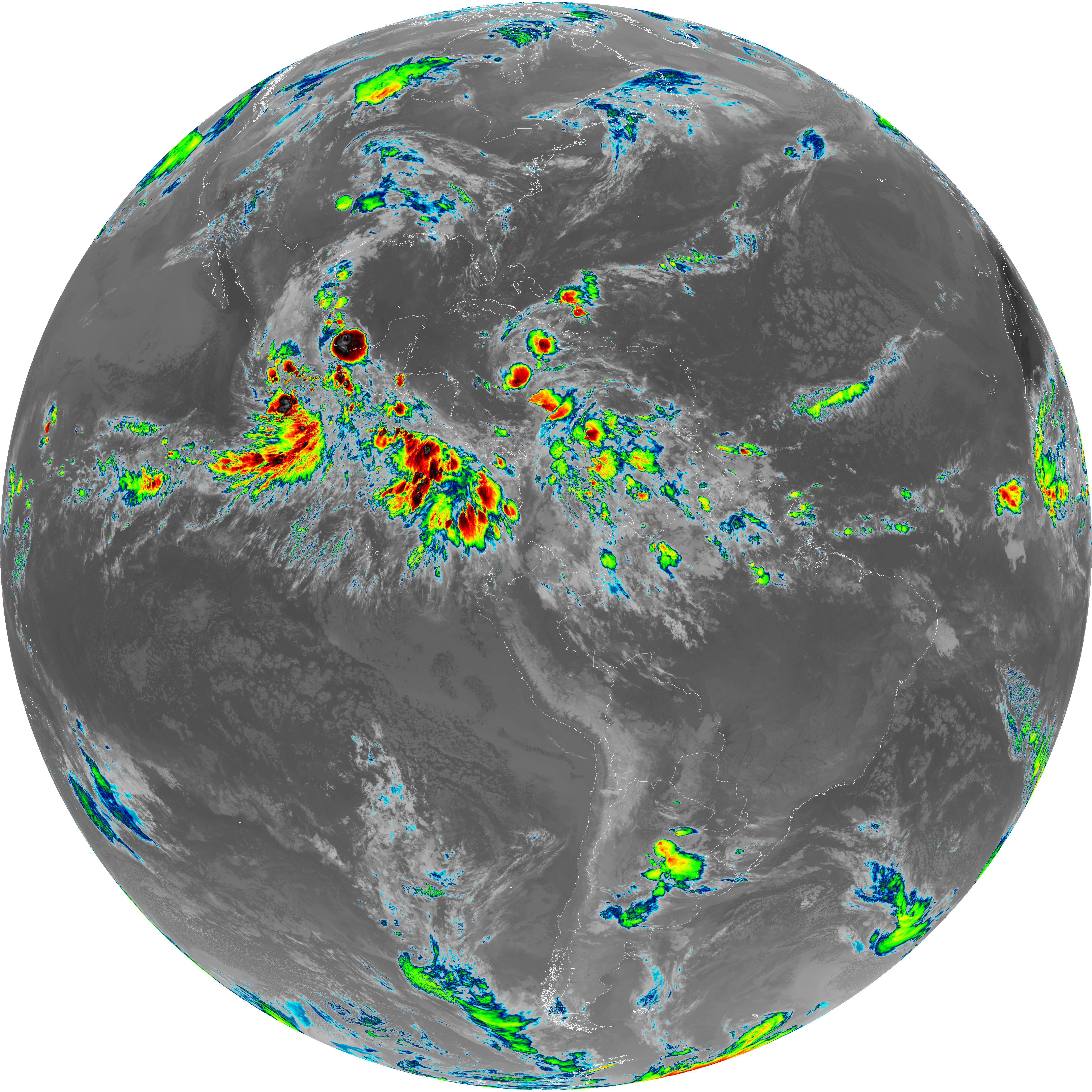
| abi_rgb_Infrared_Longwave_Window_Band_map.png | 13973874 | 2026-Jun-07 10:55 |
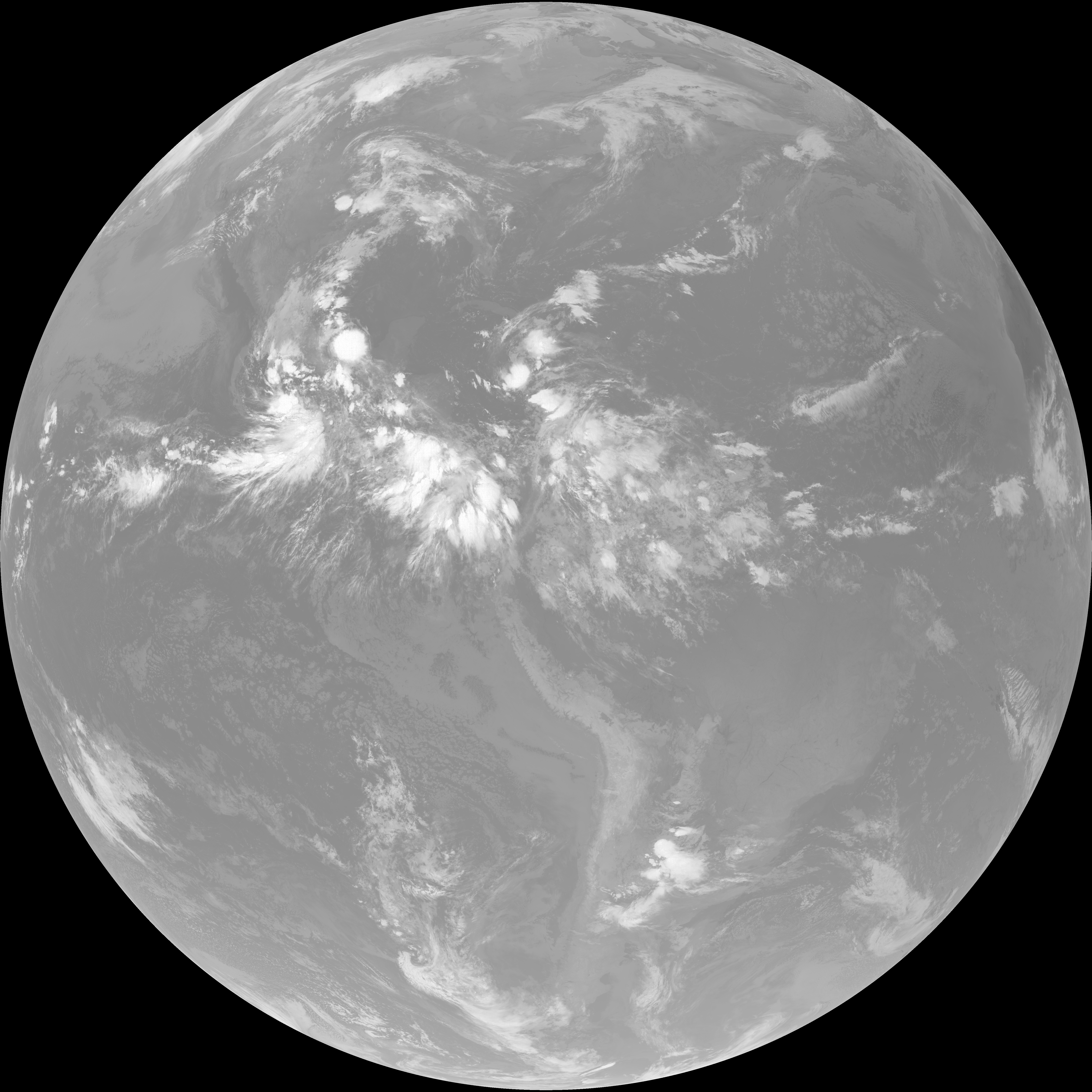
| abi_rgb_Infrared_Longwave_Window_Band.png | 13931271 | 2026-Jun-07 10:55 |
| G19_14_20260607T103021Z.png | 10380970 | 2026-Jun-07 10:55 |
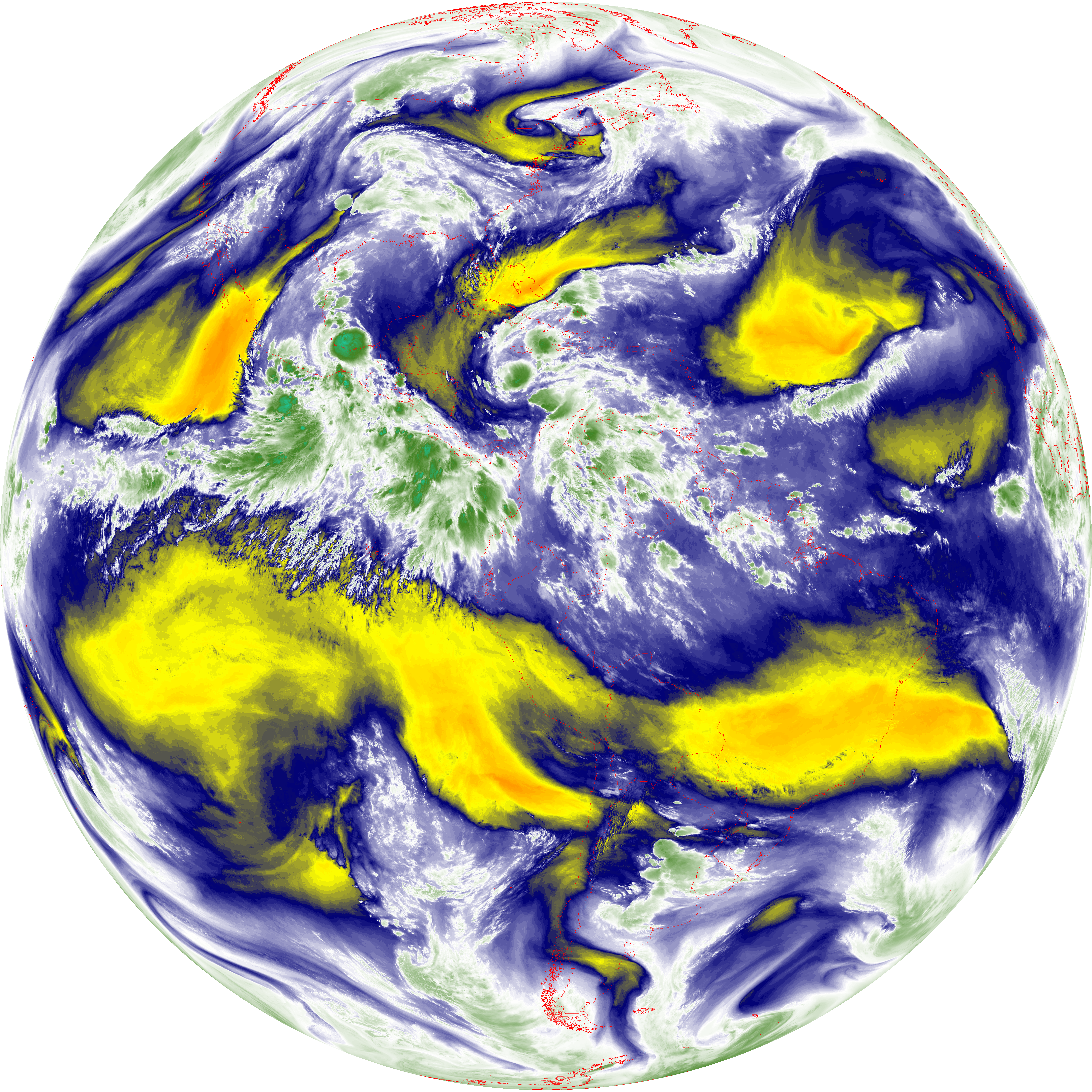
| abi_rgb_Mid-level_Tropospheric_Water_Vapor_map.png | 8801120 | 2026-Jun-07 10:52 |
| abi_rgb_Mid-level_Tropospheric_Water_Vapor.png | 8700363 | 2026-Jun-07 10:52 |
| G19_9_20260607T103021Z.png | 6497008 | 2026-Jun-07 10:52 |
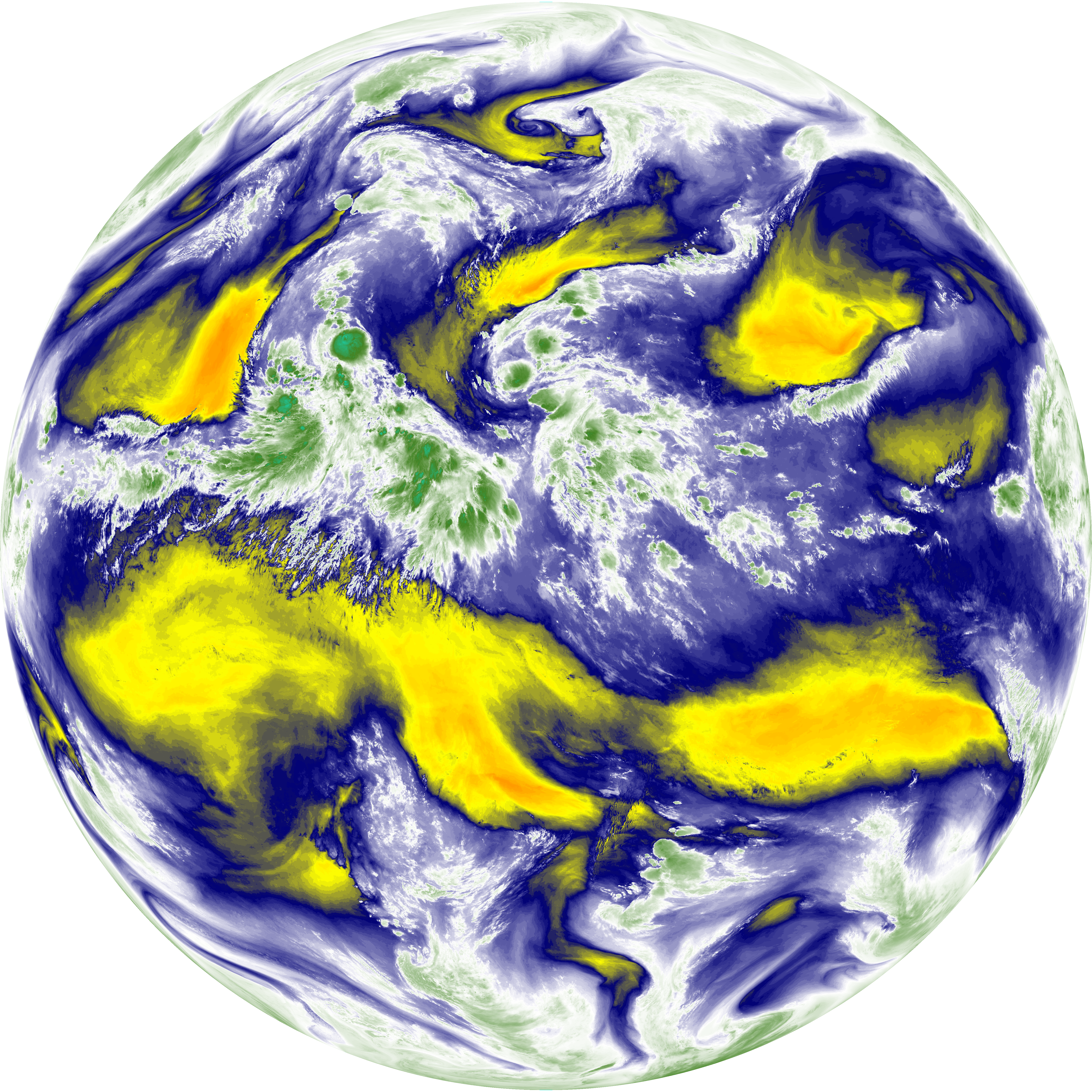
| abi_rgb_Upper-Level_Tropospheric_Water_Vapor_map.png | 7589904 | 2026-Jun-07 10:50 |
| abi_rgb_Upper-Level_Tropospheric_Water_Vapor.png | 7479040 | 2026-Jun-07 10:50 |
| G19_8_20260607T103021Z.png | 5619199 | 2026-Jun-07 10:50 |
| G19_2_20260607T103021Z.png | 6215481 | 2026-Jun-07 10:48 |
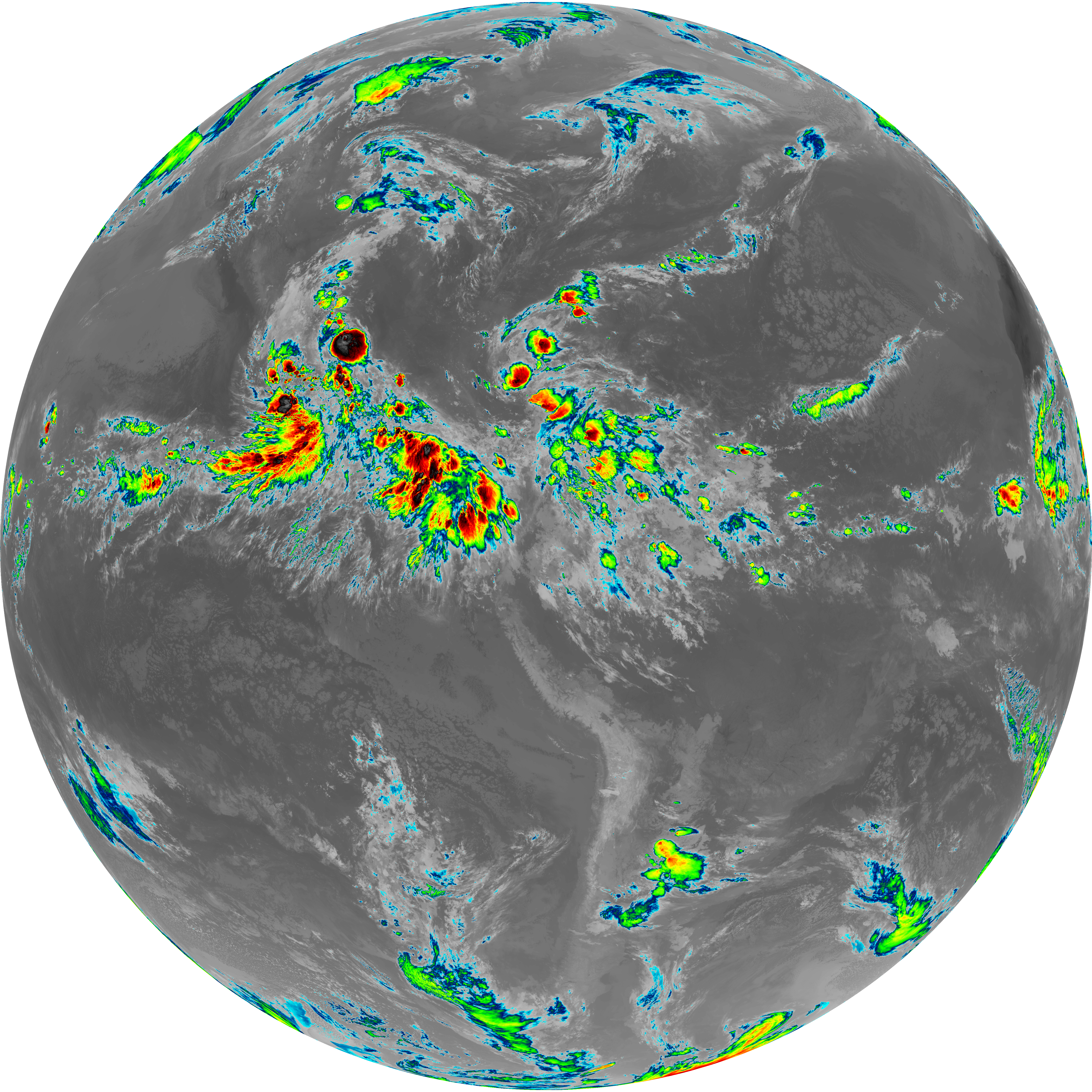
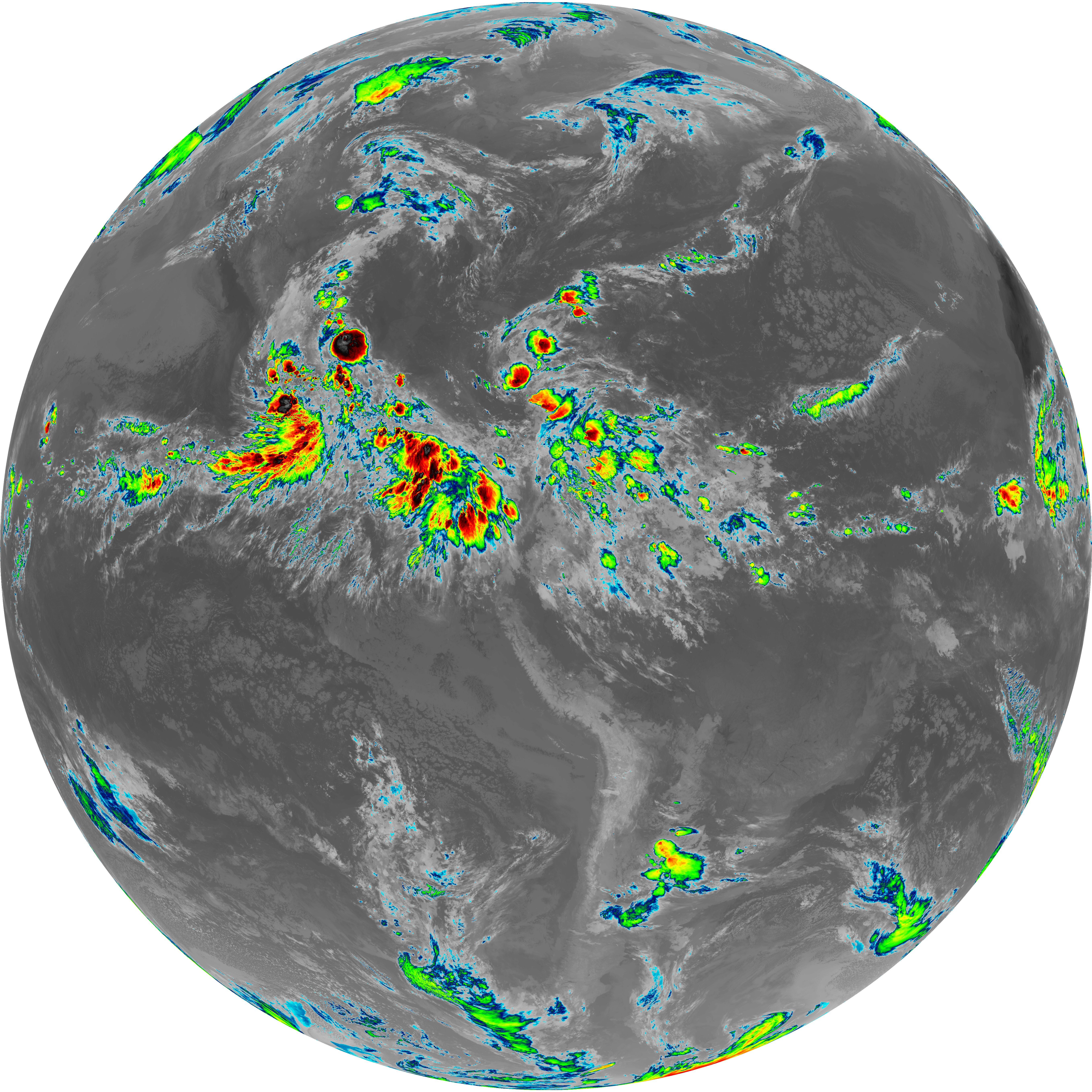
| abi_rgb_Clean_Longwave_IR_Window_Band_map.png | 13785150 | 2026-Jun-07 10:46 |
| abi_rgb_Clean_Longwave_IR_Window_Band.png | 13741446 | 2026-Jun-07 10:46 |
| G19_13_20260607T103021Z.png | 10221301 | 2026-Jun-07 10:46 |
| abi_rgb_Shortwave_Window_Band_map.png | 14740412 | 2026-Jun-07 10:43 |
| abi_rgb_Shortwave_Window_Band.png | 14683224 | 2026-Jun-07 10:43 |
| G19_7_20260607T103021Z.png | 10774842 | 2026-Jun-07 10:43 |