| Parent directory/ | - | - |
| abi_rgb_Upper-Level_Tropospheric_Water_Vapor_map.png | 7588159 | 2026-Jun-07 11:20 |
| abi_rgb_Upper-Level_Tropospheric_Water_Vapor.png | 7476759 | 2026-Jun-07 11:20 |
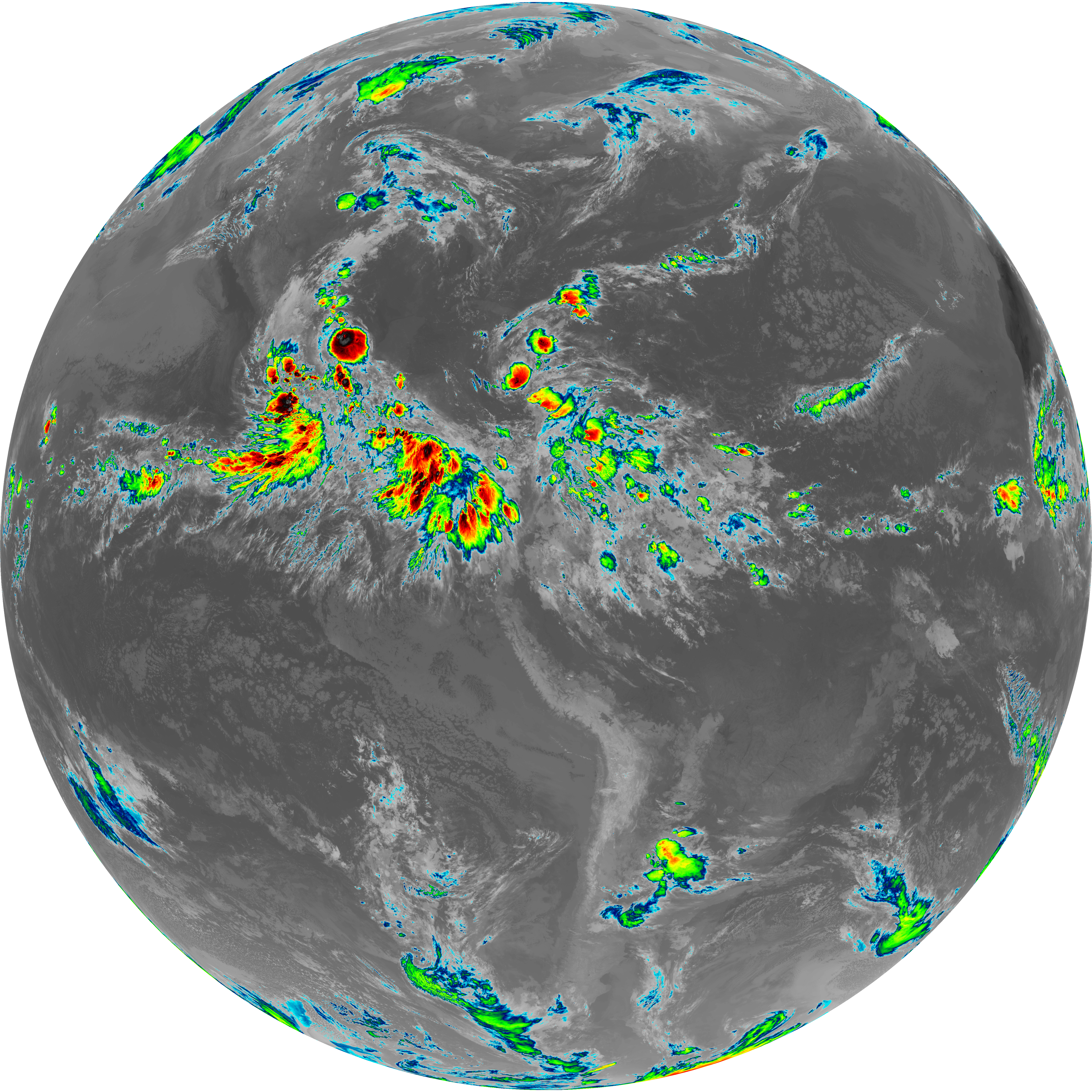
| abi_rgb_Shortwave_Window_Band_map.png | 14576775 | 2026-Jun-07 11:13 |
| abi_rgb_Shortwave_Window_Band.png | 14517957 | 2026-Jun-07 11:13 |
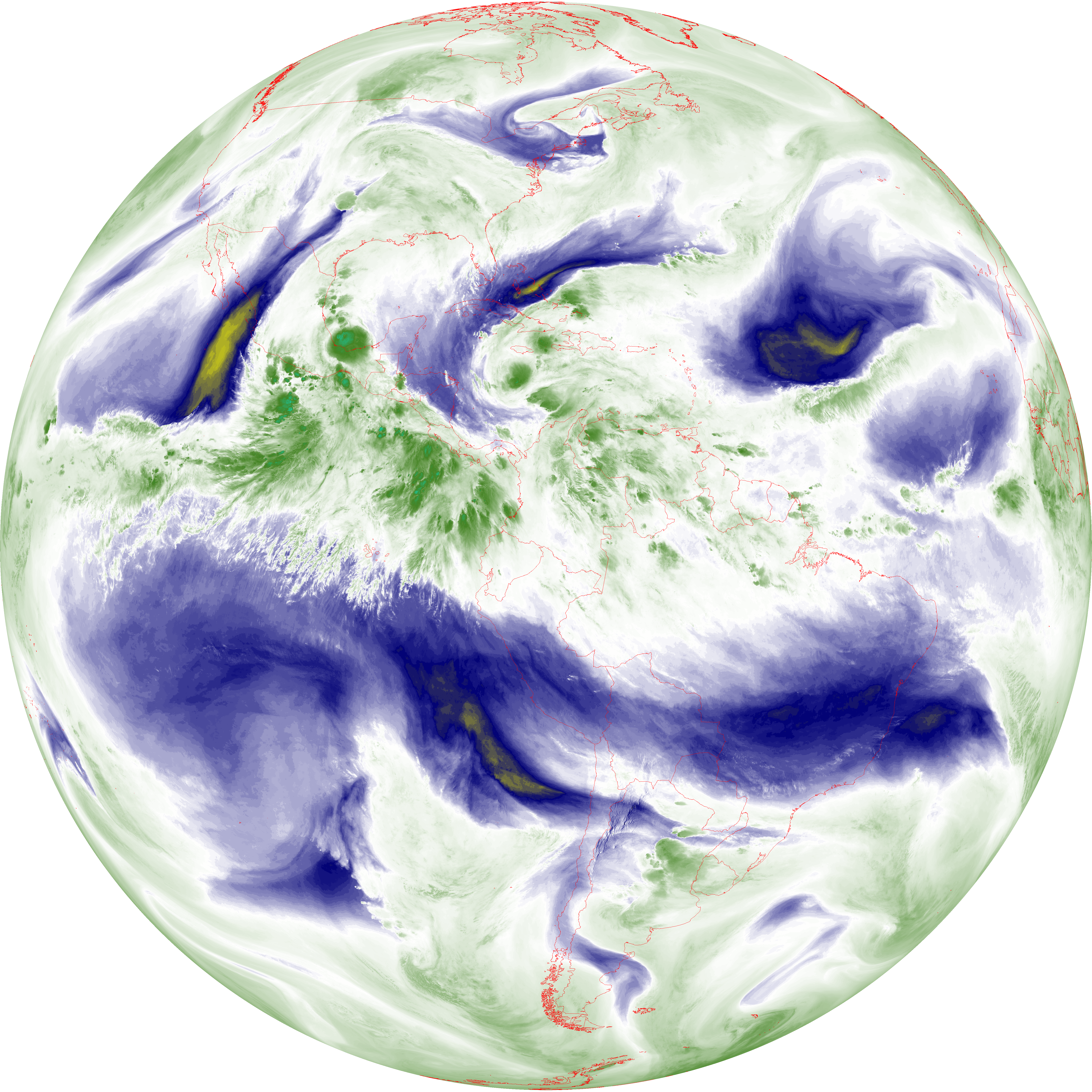
| abi_rgb_Mid-level_Tropospheric_Water_Vapor_map.png | 8798544 | 2026-Jun-07 11:23 |
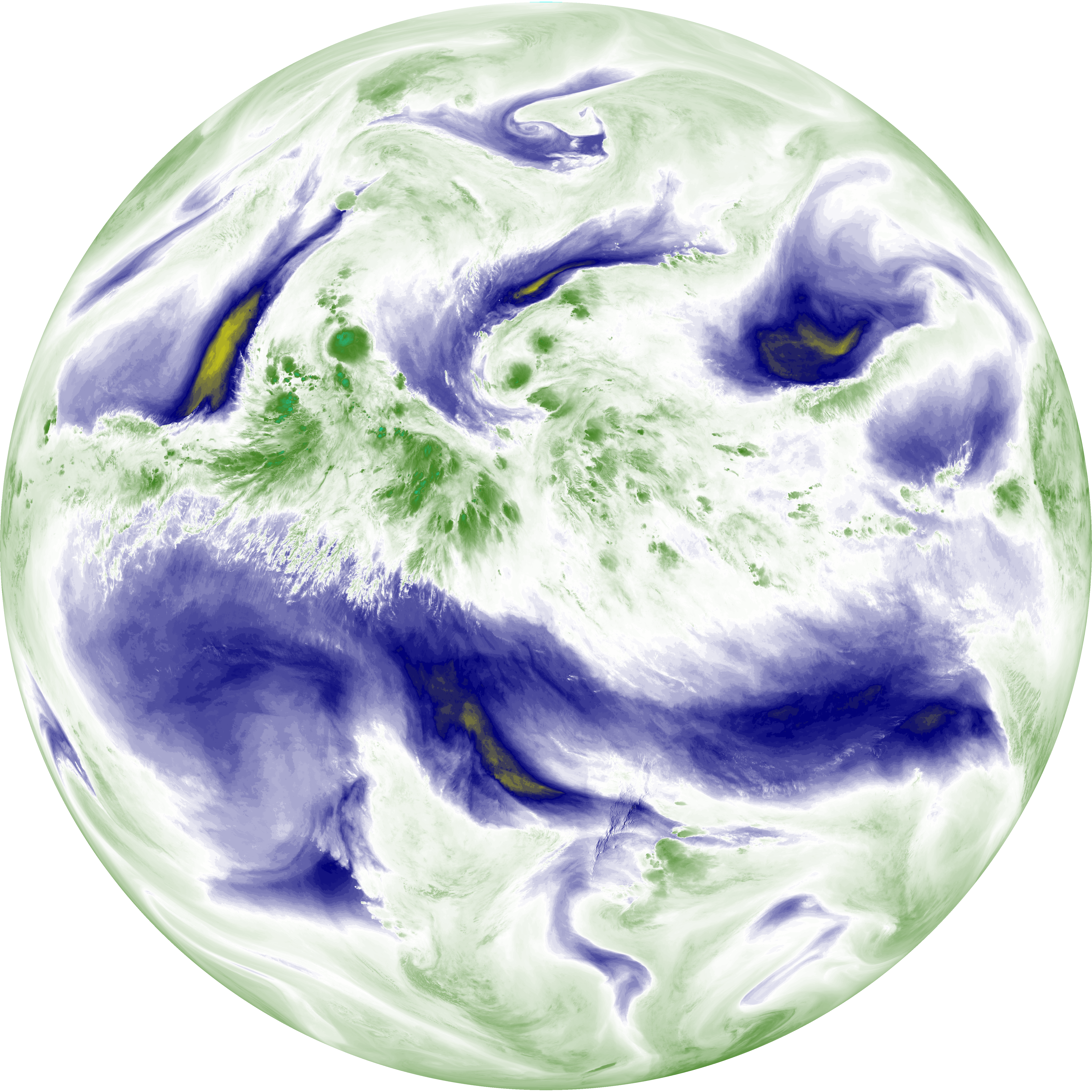
| abi_rgb_Mid-level_Tropospheric_Water_Vapor.png | 8697502 | 2026-Jun-07 11:22 |
| abi_rgb_Infrared_Longwave_Window_Band_map.png | 13938291 | 2026-Jun-07 11:26 |
| abi_rgb_Infrared_Longwave_Window_Band.png | 13895803 | 2026-Jun-07 11:26 |
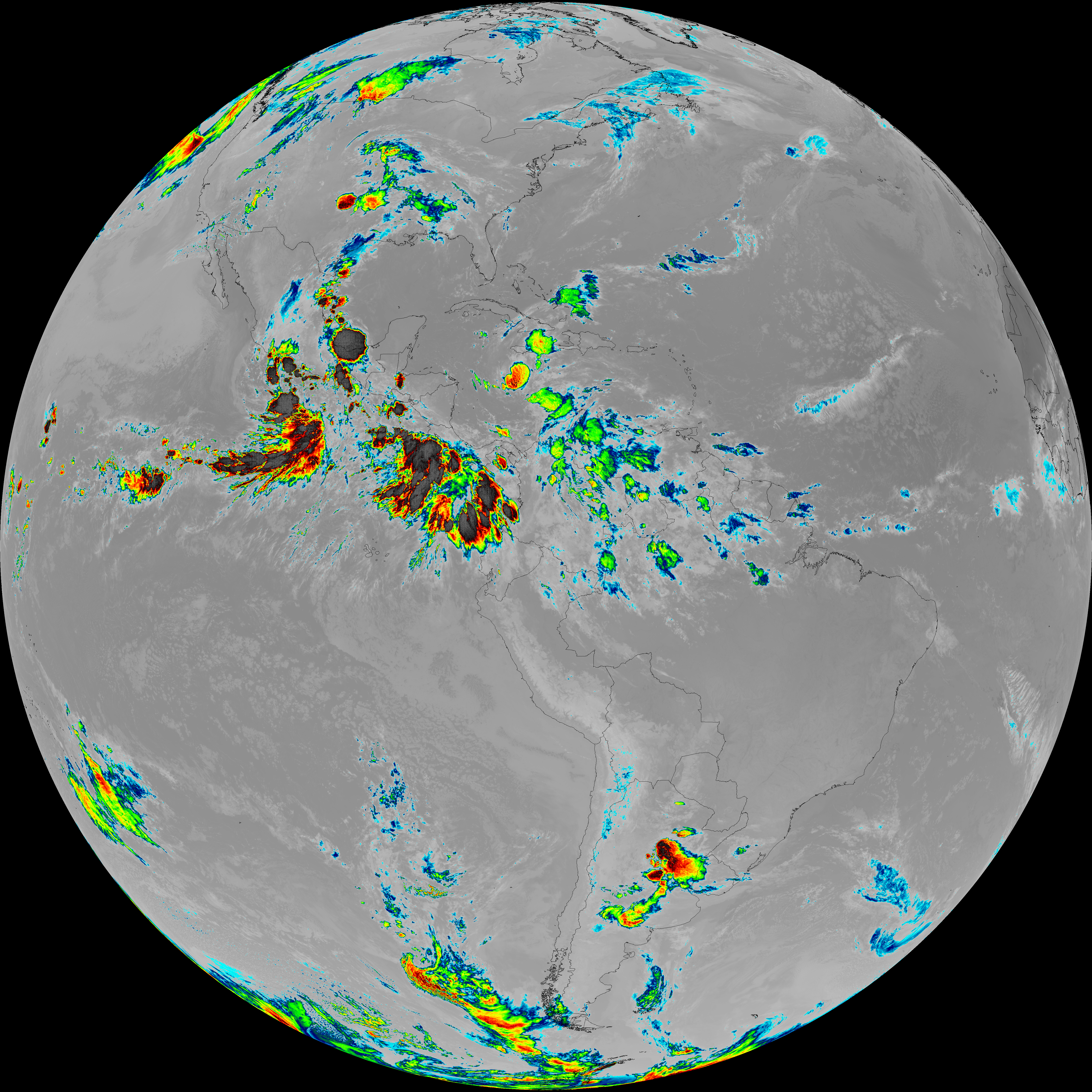
| abi_rgb_Dirty_Longwave_Window_map.png | 13645774 | 2026-Jun-07 11:28 |
| abi_rgb_Dirty_Longwave_Window_-_CIRA_map.png | 11957036 | 2026-Jun-07 11:29 |
| abi_rgb_Dirty_Longwave_Window_-_CIRA.png | 11899265 | 2026-Jun-07 11:29 |
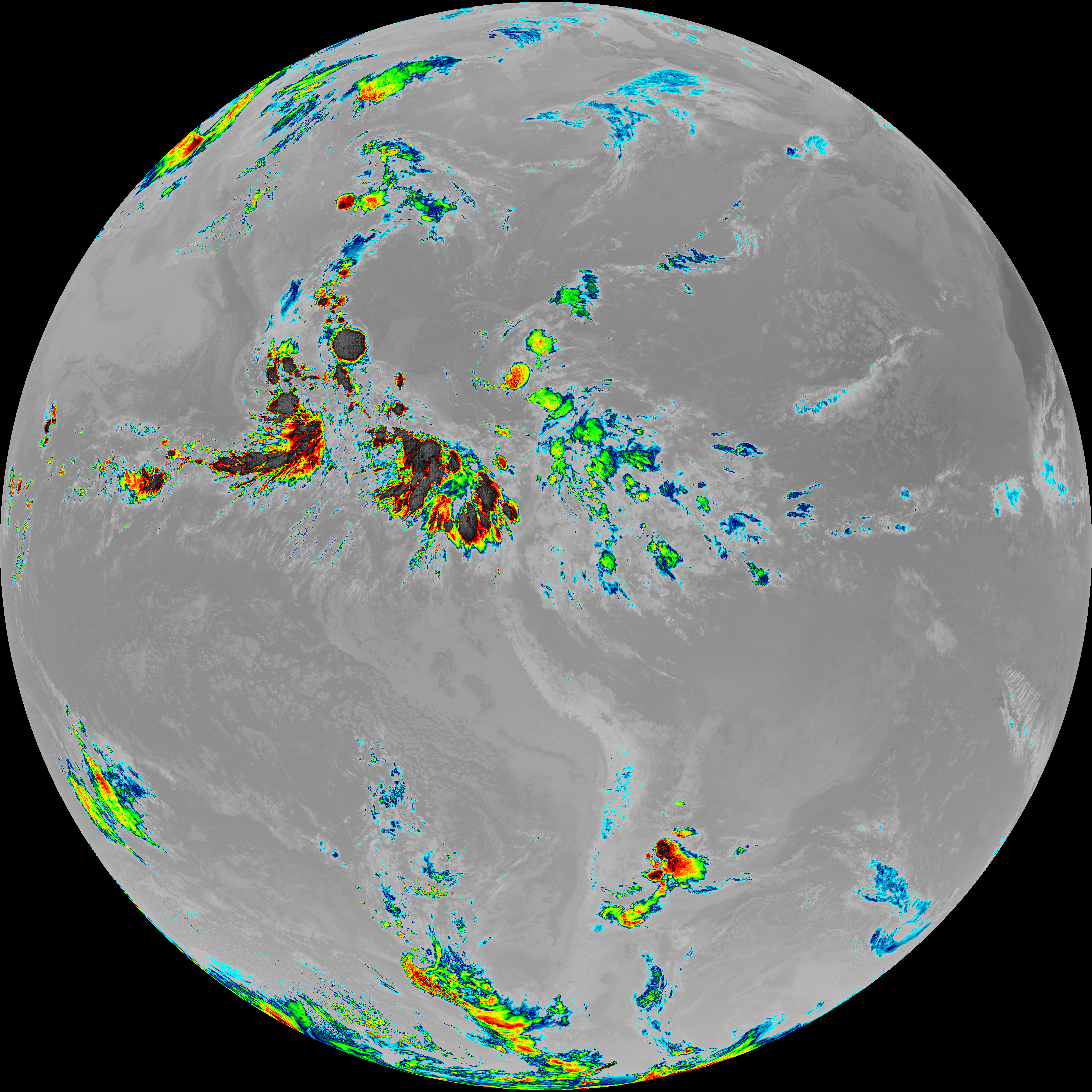
| abi_rgb_Dirty_Longwave_Window.png | 13599612 | 2026-Jun-07 11:28 |
| abi_rgb_Clean_Longwave_IR_Window_Band_map.png | 13749353 | 2026-Jun-07 11:16 |
| abi_rgb_Clean_Longwave_IR_Window_Band.png | 13704967 | 2026-Jun-07 11:16 |
| G19_9_20260607T110021Z.png | 6494641 | 2026-Jun-07 11:22 |
| G19_8_20260607T110021Z.png | 5617788 | 2026-Jun-07 11:20 |
| G19_7_20260607T110021Z.png | 10639642 | 2026-Jun-07 11:13 |
| G19_2_20260607T110021Z.png | 7145908 | 2026-Jun-07 11:18 |
| G19_15_20260607T110021Z.png | 10097190 | 2026-Jun-07 11:28 |
| G19_14_20260607T110021Z.png | 10352817 | 2026-Jun-07 11:25 |
| G19_13_20260607T110021Z.png | 10191107 | 2026-Jun-07 11:16 |