| Parent directory/ | - | - |
| G19_7_20260607T113021Z.png | 10517033 | 2026-Jun-07 11:43 |
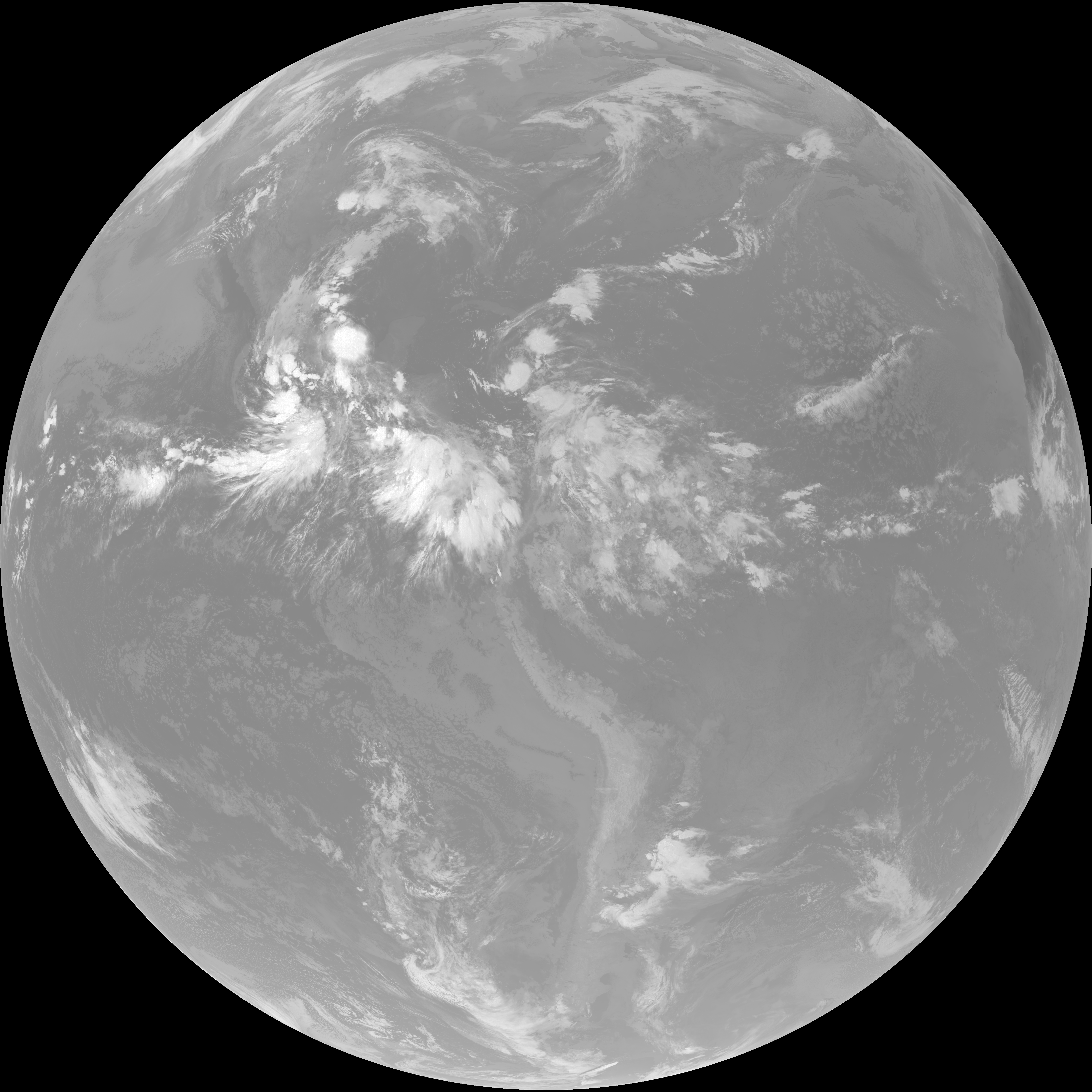
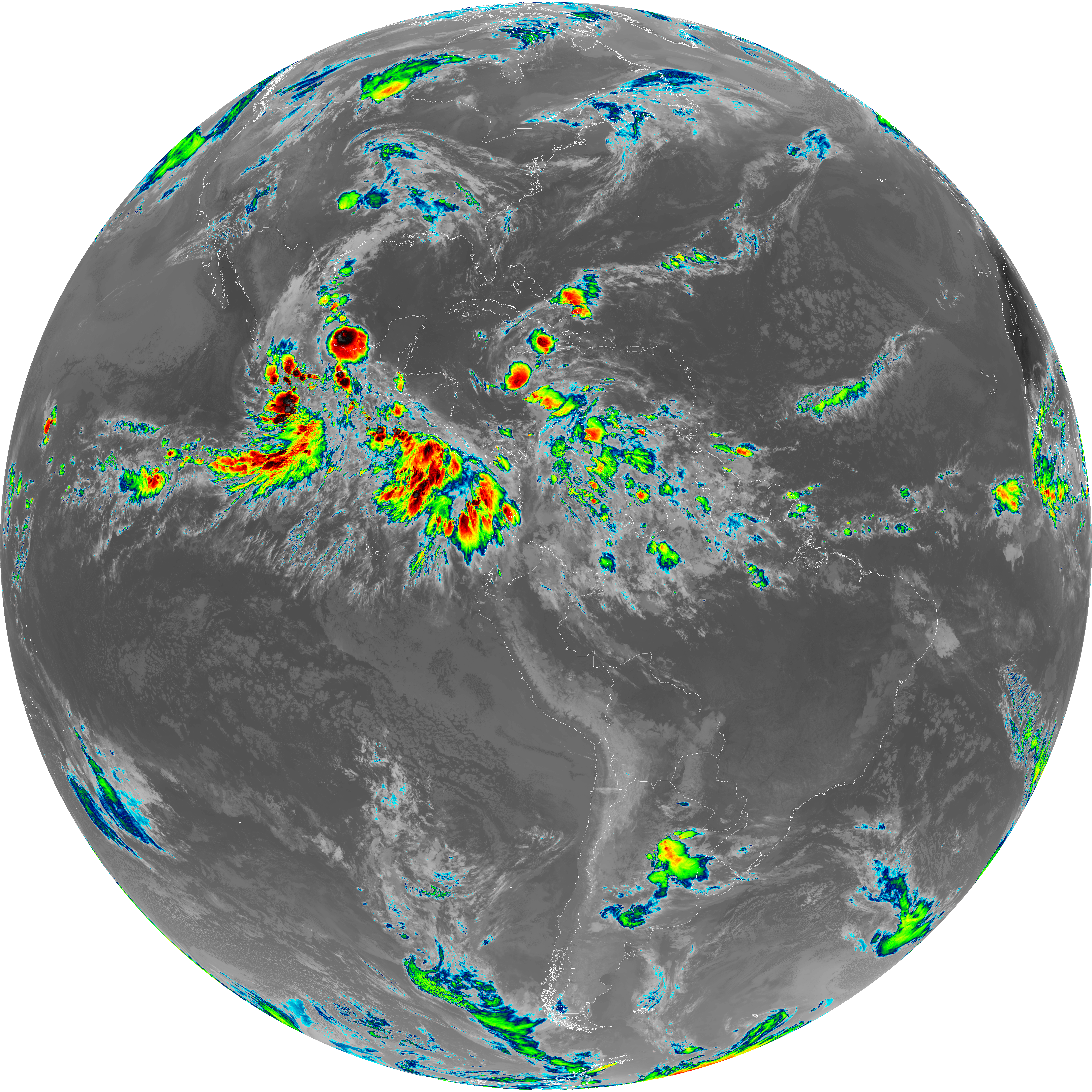
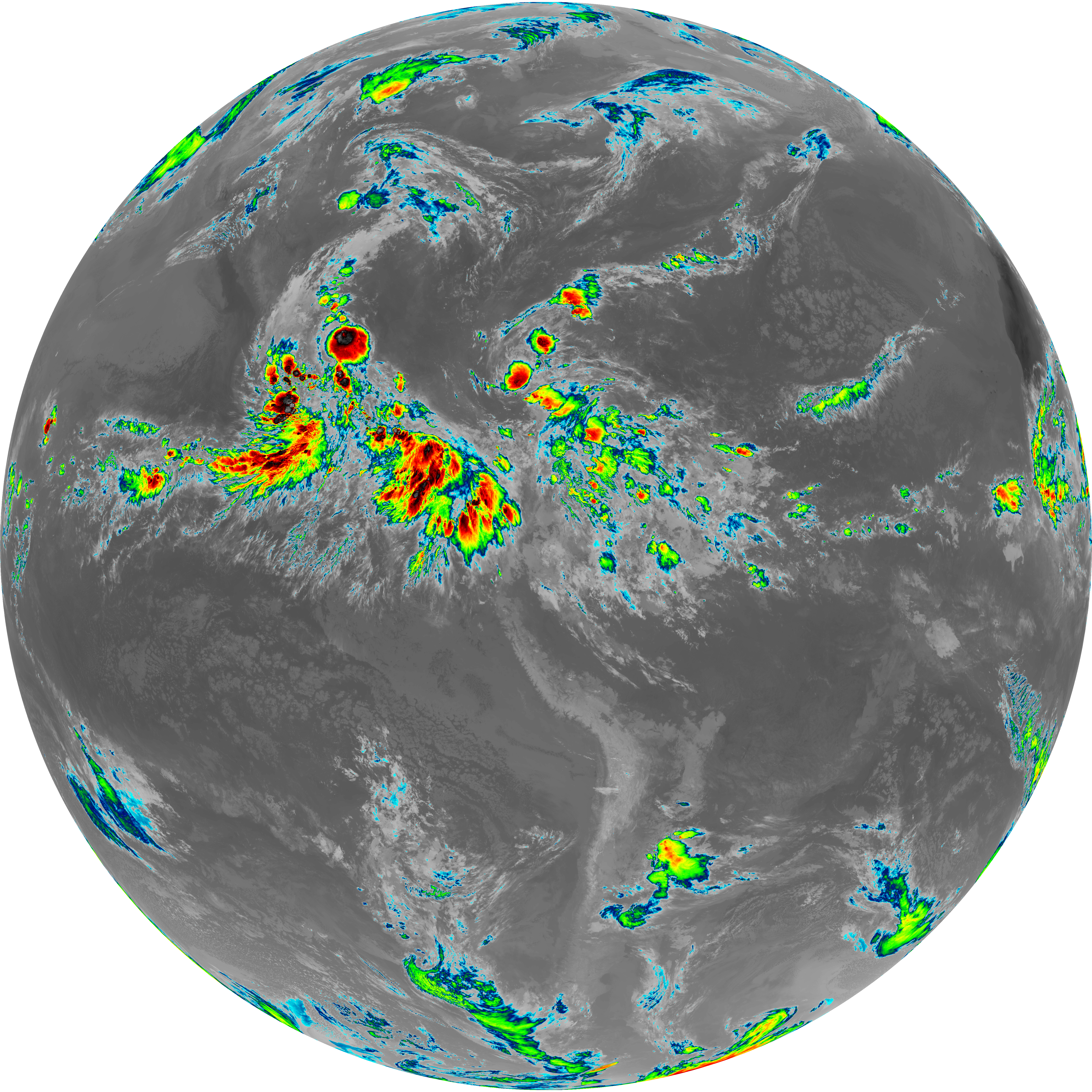
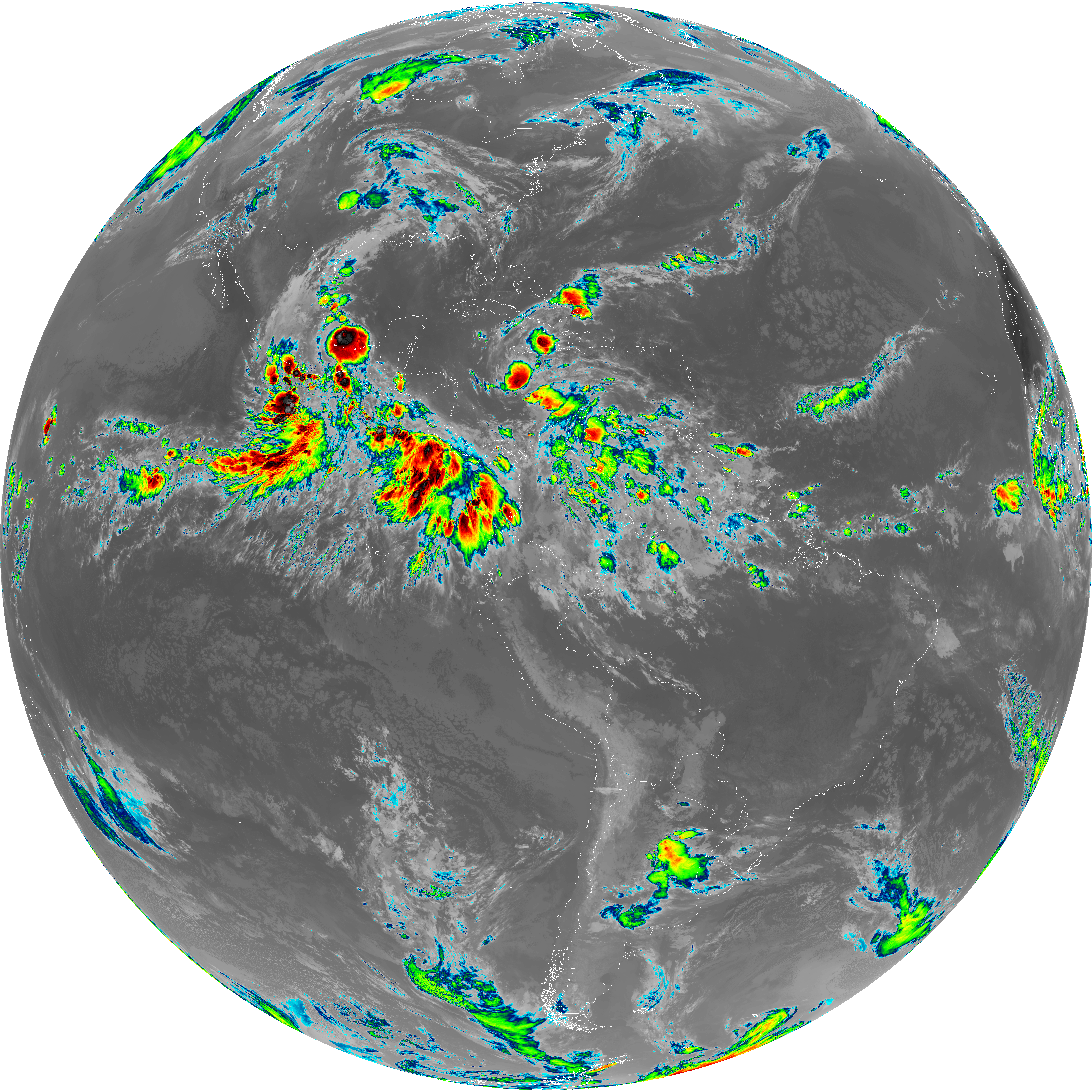
| abi_rgb_Shortwave_Window_Band.png | 14364103 | 2026-Jun-07 11:43 |
| abi_rgb_Shortwave_Window_Band_map.png | 14424997 | 2026-Jun-07 11:43 |
| G19_13_20260607T113021Z.png | 10165711 | 2026-Jun-07 11:46 |
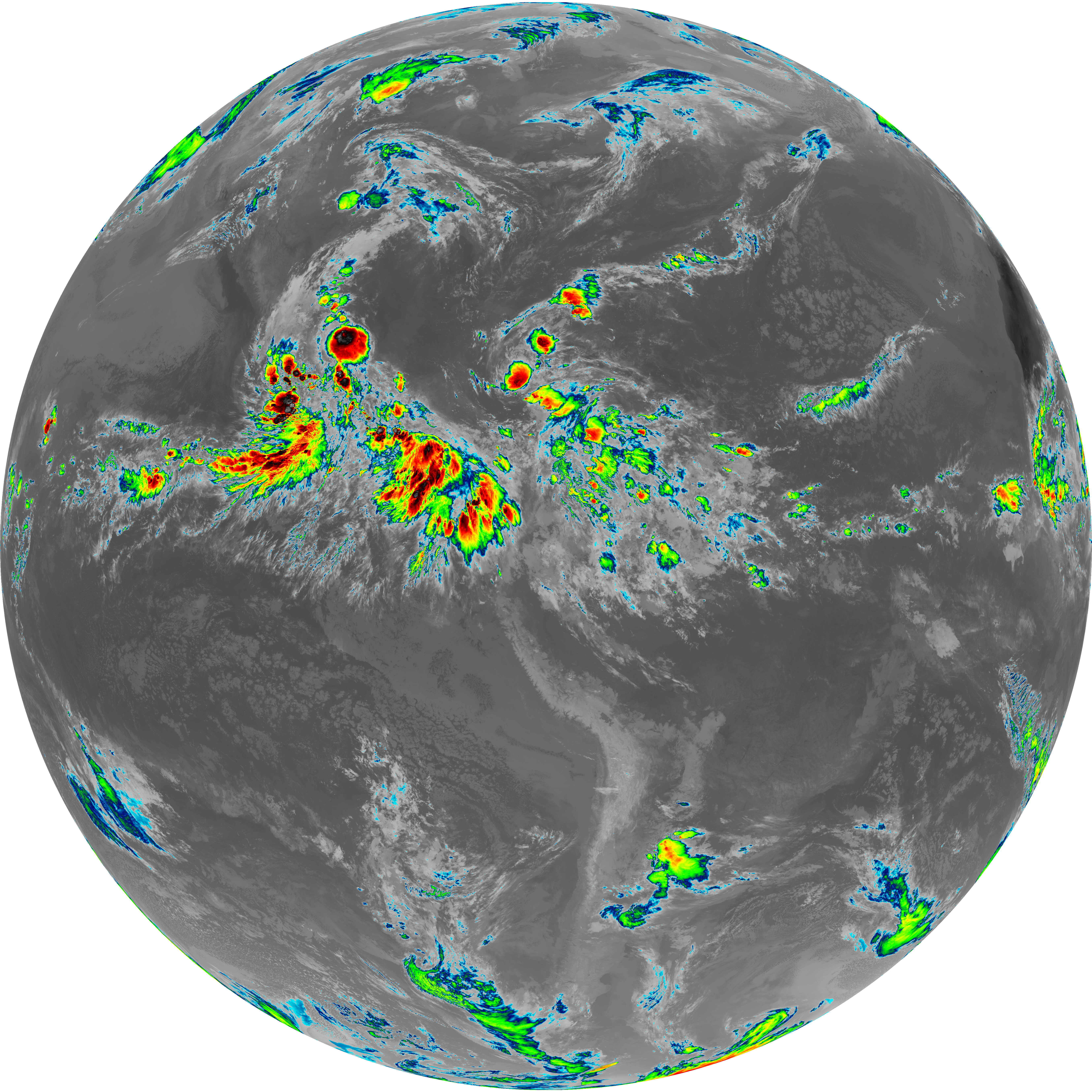
| abi_rgb_Clean_Longwave_IR_Window_Band.png | 13671198 | 2026-Jun-07 11:46 |
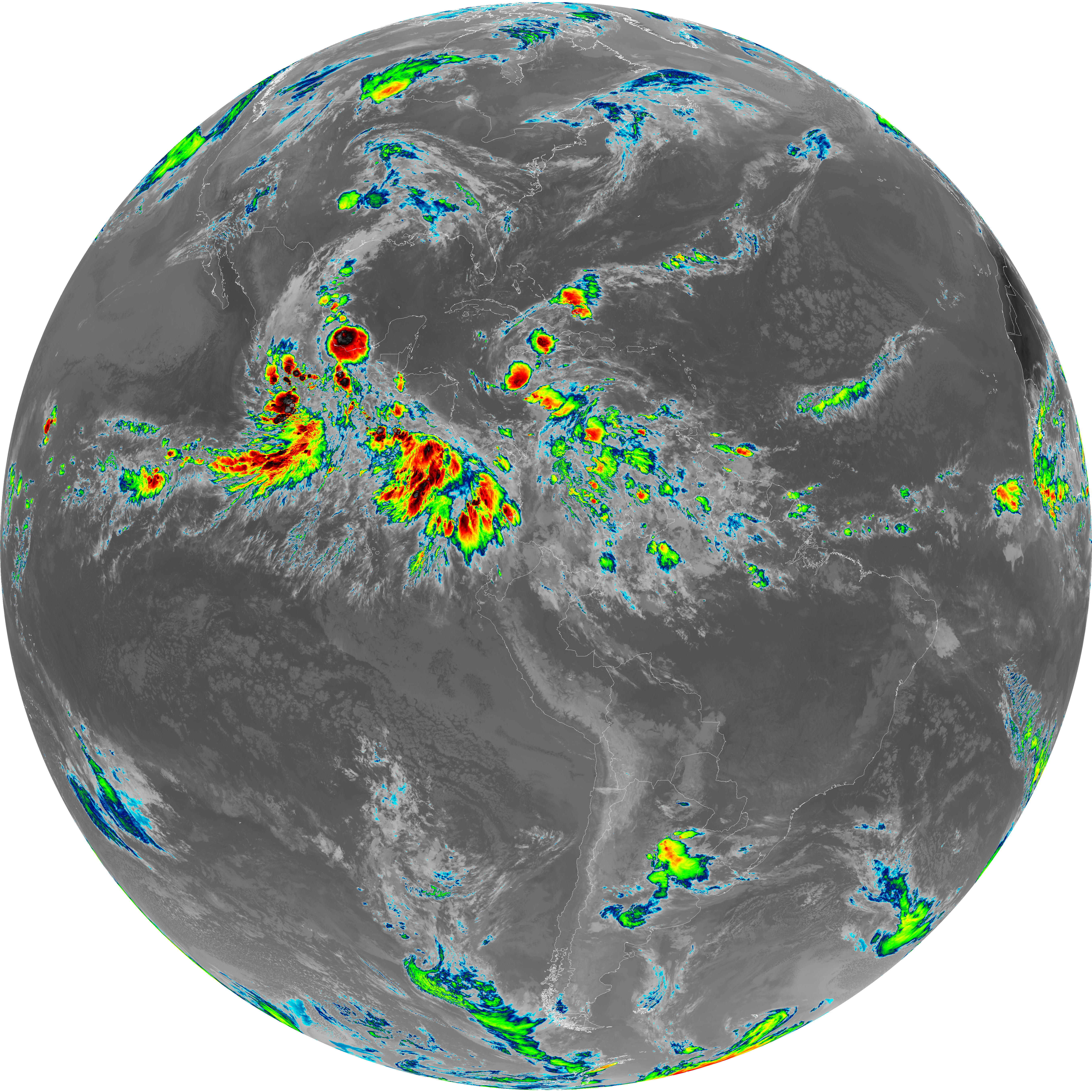
| abi_rgb_Clean_Longwave_IR_Window_Band_map.png | 13714450 | 2026-Jun-07 11:46 |
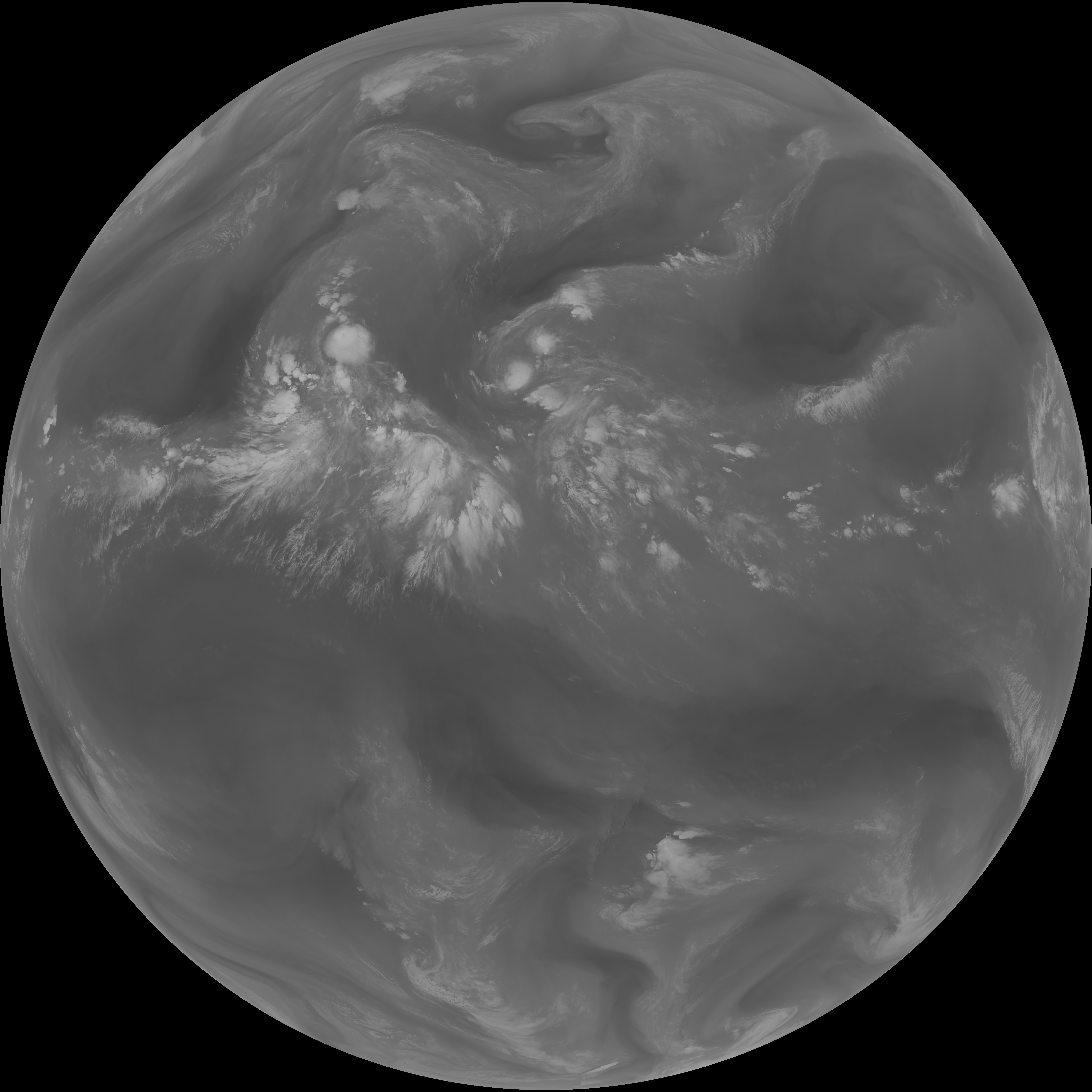
| G19_2_20260607T113021Z.png | 8178974 | 2026-Jun-07 11:48 |
| G19_8_20260607T113021Z.png | 5620178 | 2026-Jun-07 11:50 |
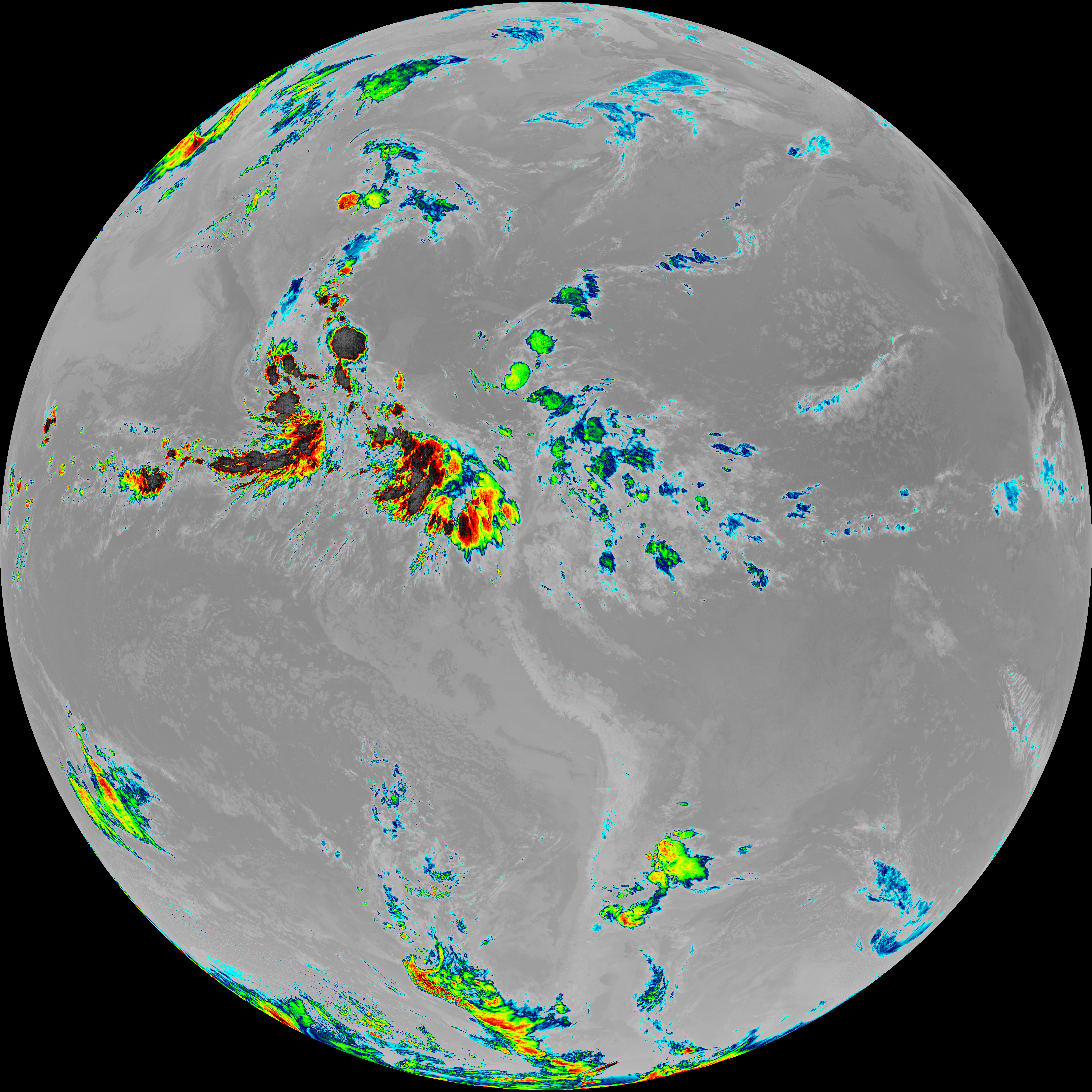
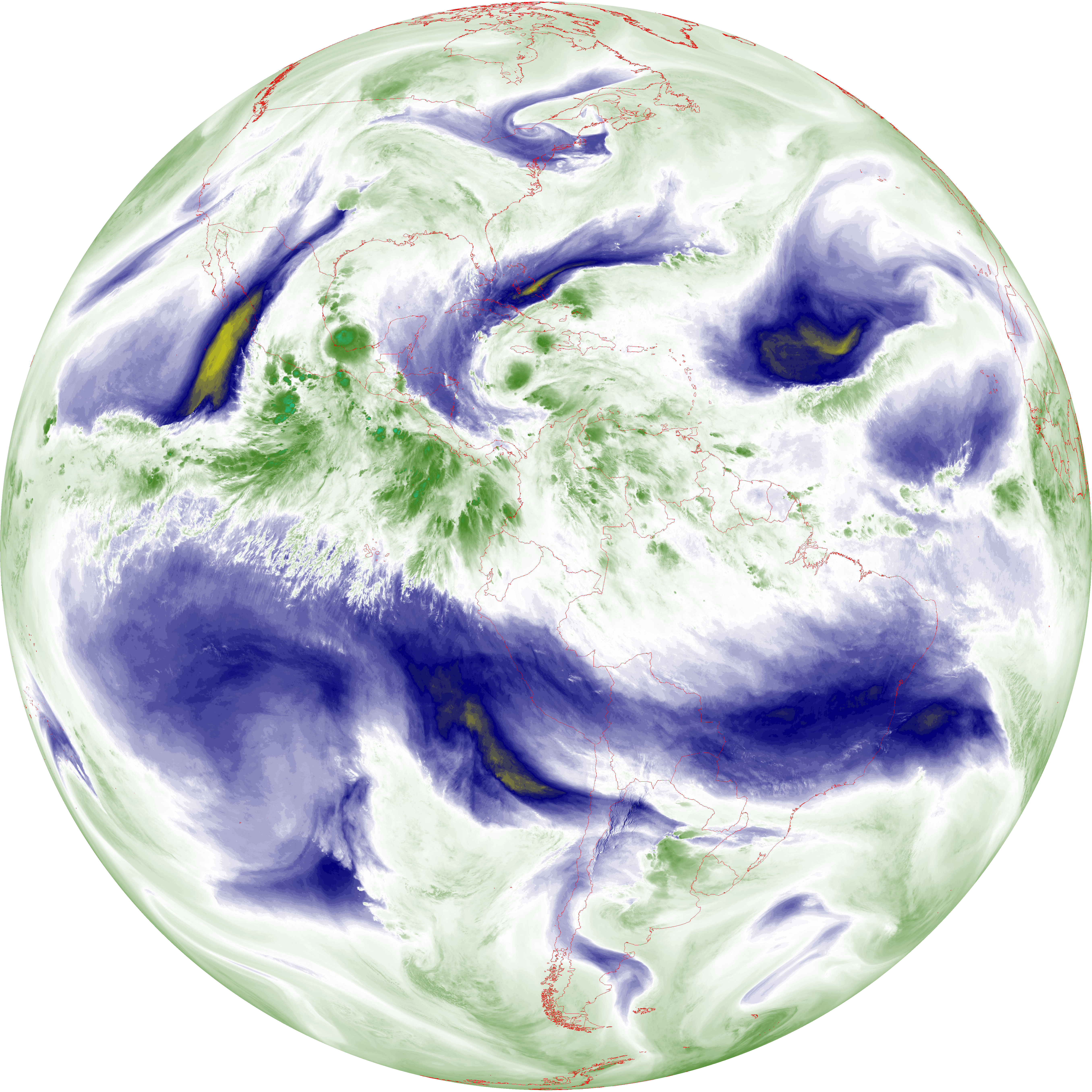
| abi_rgb_Upper-Level_Tropospheric_Water_Vapor.png | 7476141 | 2026-Jun-07 11:50 |
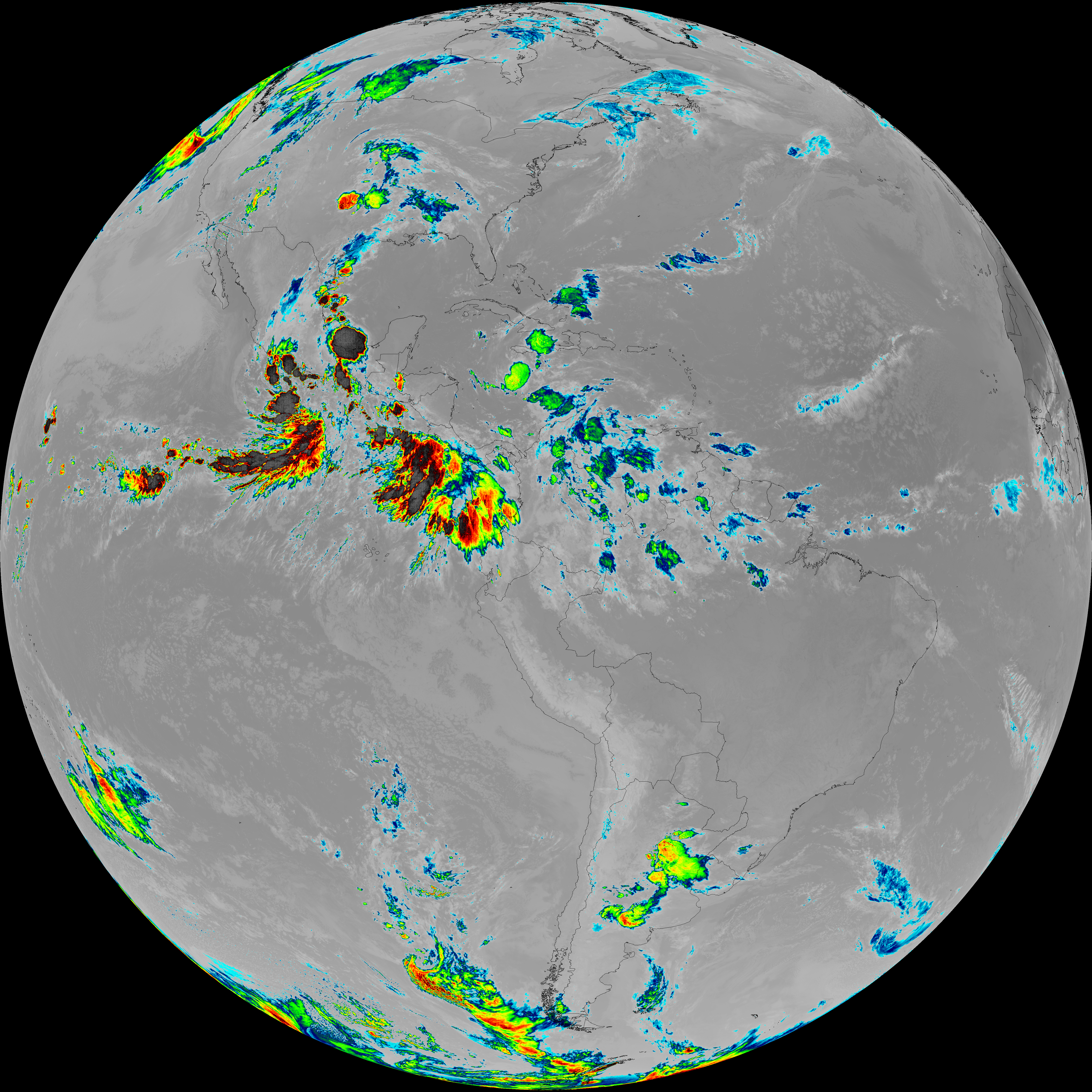
| abi_rgb_Upper-Level_Tropospheric_Water_Vapor_map.png | 7587700 | 2026-Jun-07 11:50 |
| G19_9_20260607T113021Z.png | 6489631 | 2026-Jun-07 11:52 |
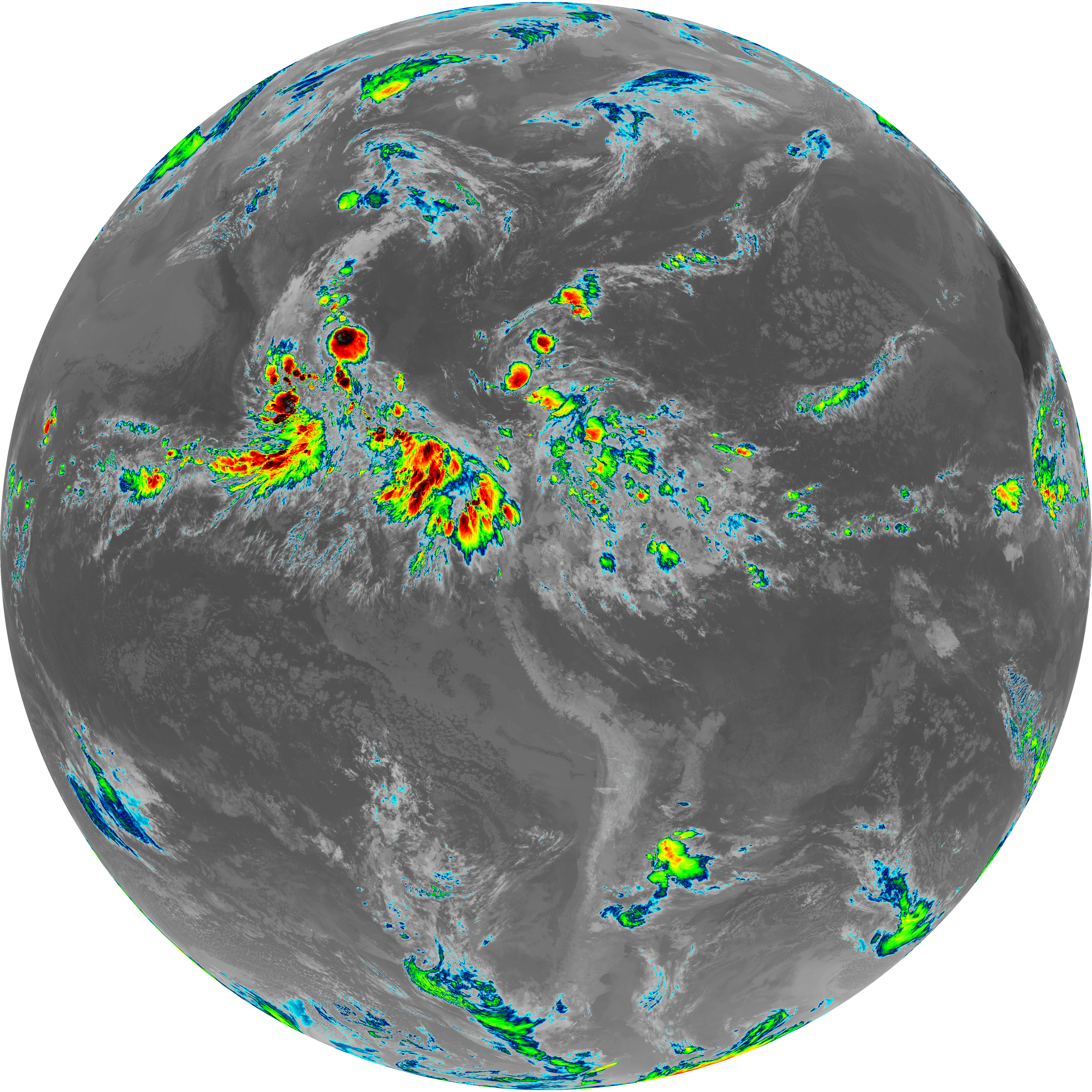
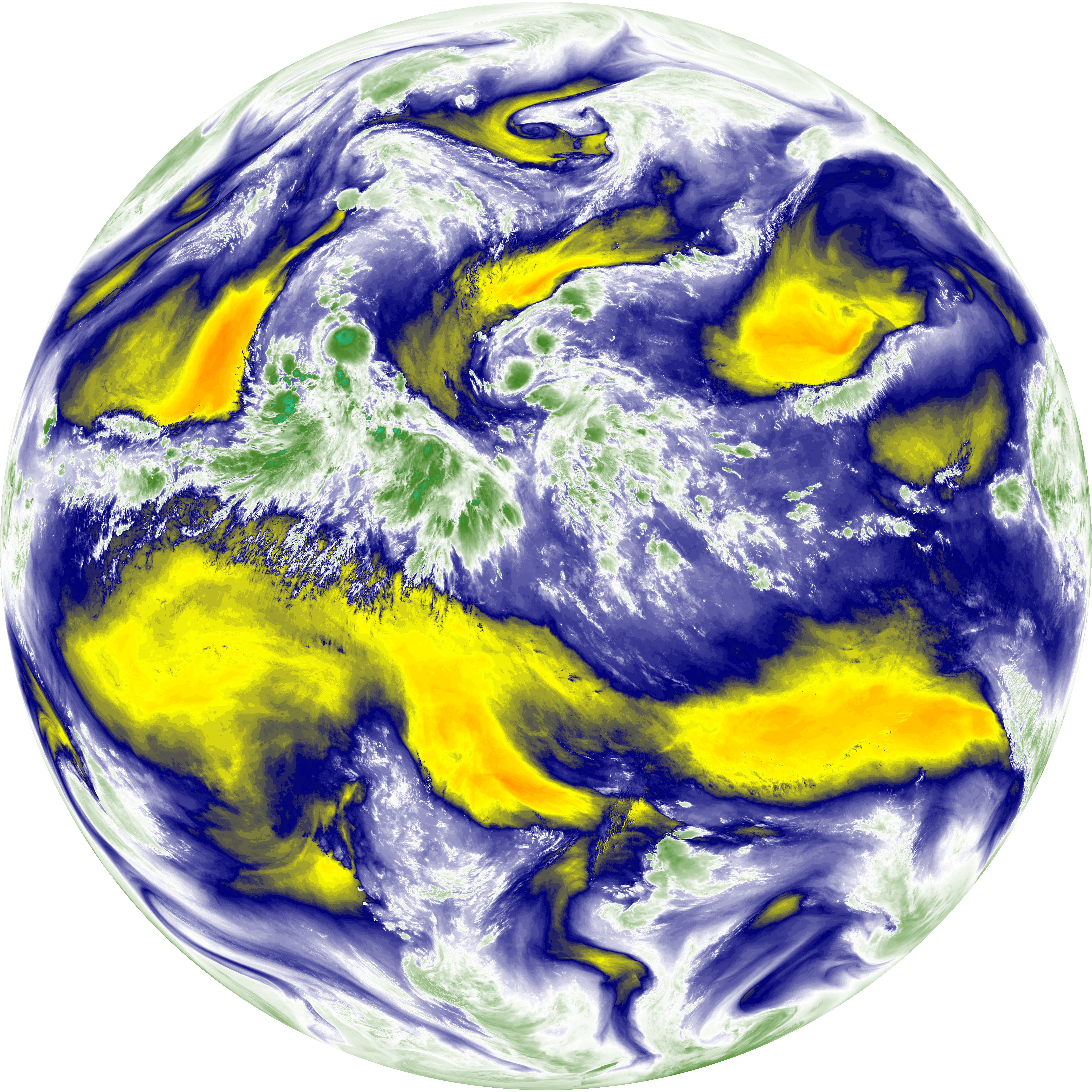
| abi_rgb_Mid-level_Tropospheric_Water_Vapor.png | 8687418 | 2026-Jun-07 11:52 |
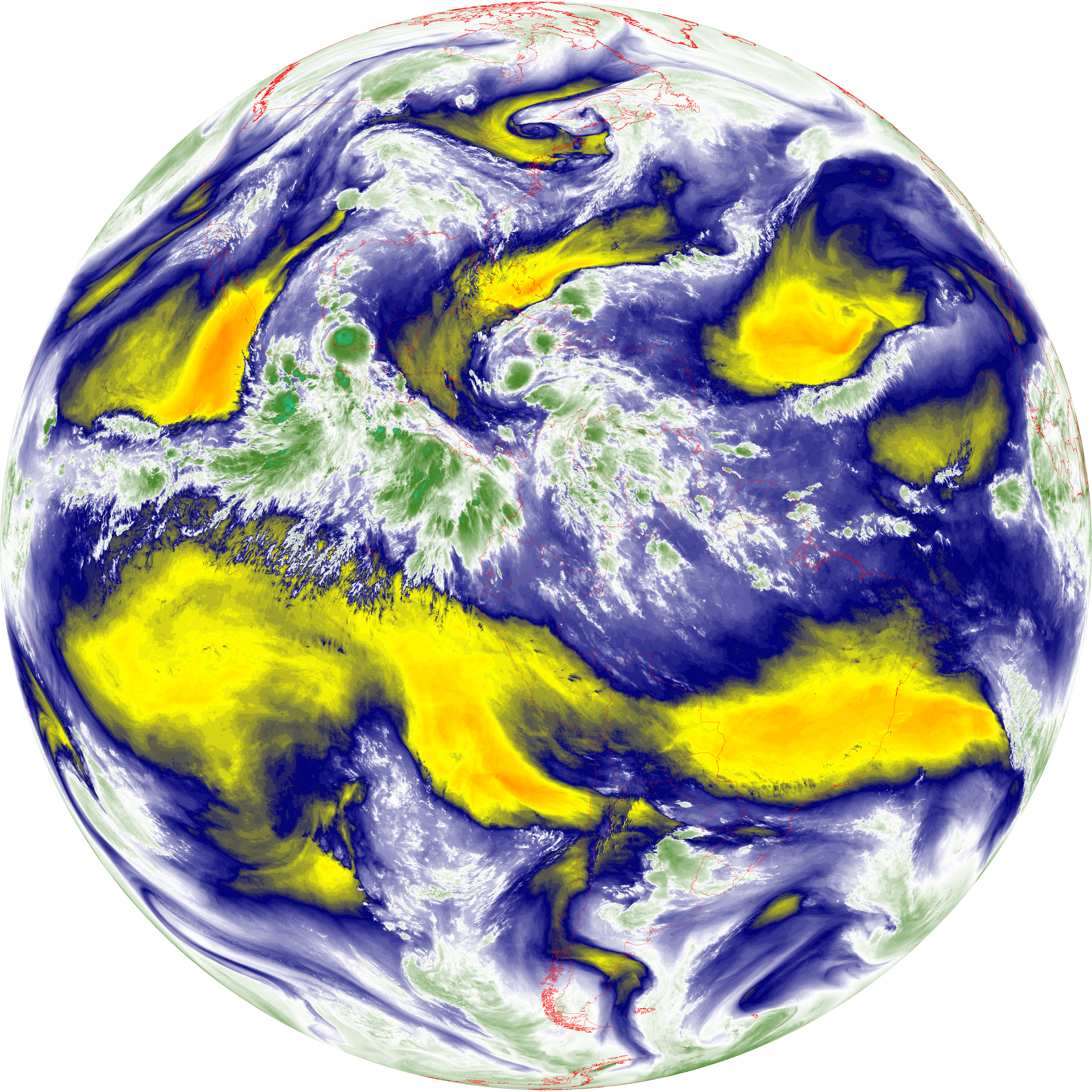
| abi_rgb_Mid-level_Tropospheric_Water_Vapor_map.png | 8788593 | 2026-Jun-07 11:52 |
| G19_14_20260607T113021Z.png | 10323200 | 2026-Jun-07 11:55 |
| abi_rgb_Infrared_Longwave_Window_Band.png | 13857816 | 2026-Jun-07 11:56 |
| abi_rgb_Infrared_Longwave_Window_Band_map.png | 13900797 | 2026-Jun-07 11:56 |
| G19_15_20260607T113021Z.png | 10067126 | 2026-Jun-07 11:58 |
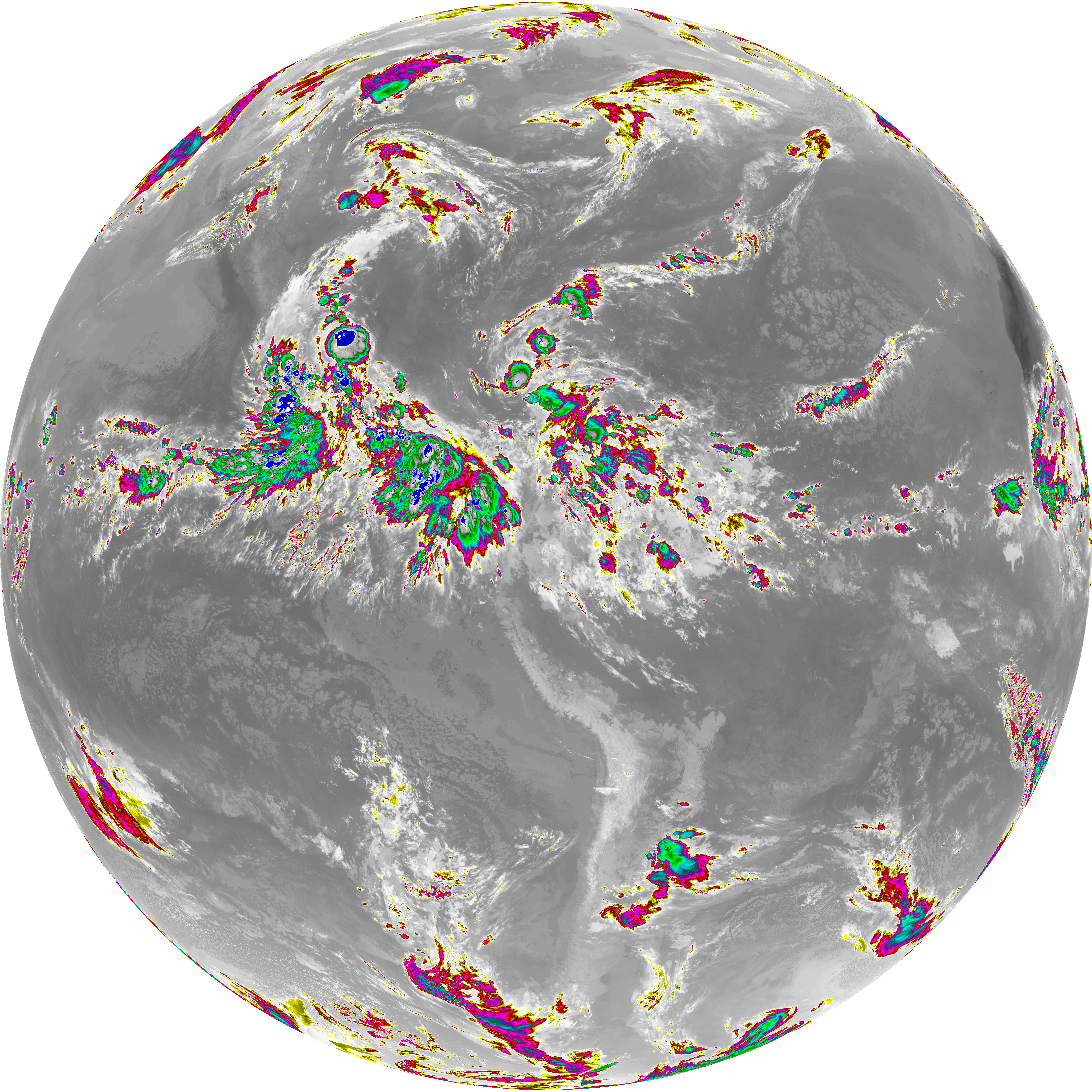
| abi_rgb_Dirty_Longwave_Window.png | 13559421 | 2026-Jun-07 11:58 |
| abi_rgb_Dirty_Longwave_Window_map.png | 13605491 | 2026-Jun-07 11:58 |
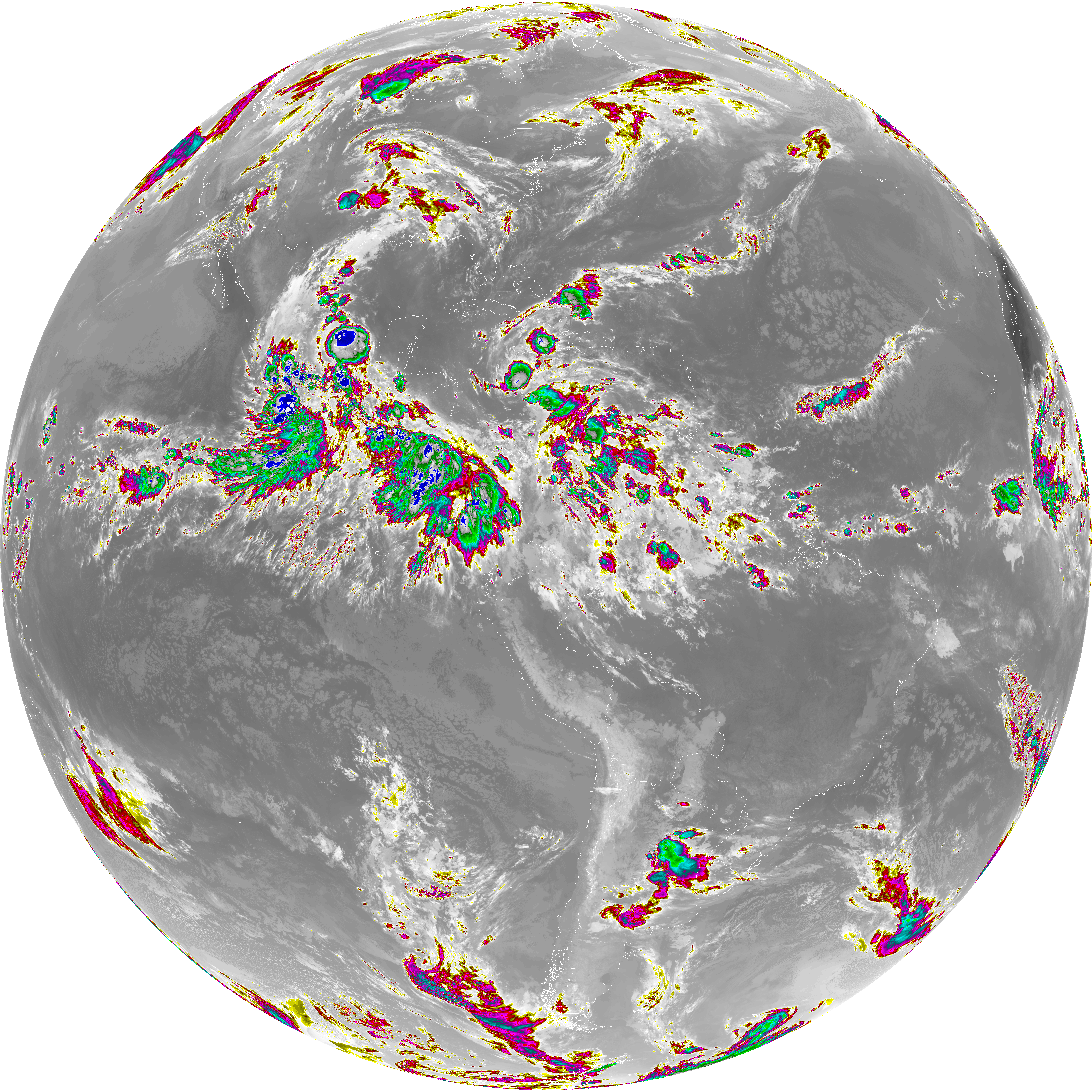
| abi_rgb_Dirty_Longwave_Window_-_CIRA.png | 11884822 | 2026-Jun-07 11:59 |
| abi_rgb_Dirty_Longwave_Window_-_CIRA_map.png | 11942908 | 2026-Jun-07 11:59 |