| Parent directory/ | - | - |
| G19_7_20260607T120021Z.png | 10426581 | 2026-Jun-07 12:13 |
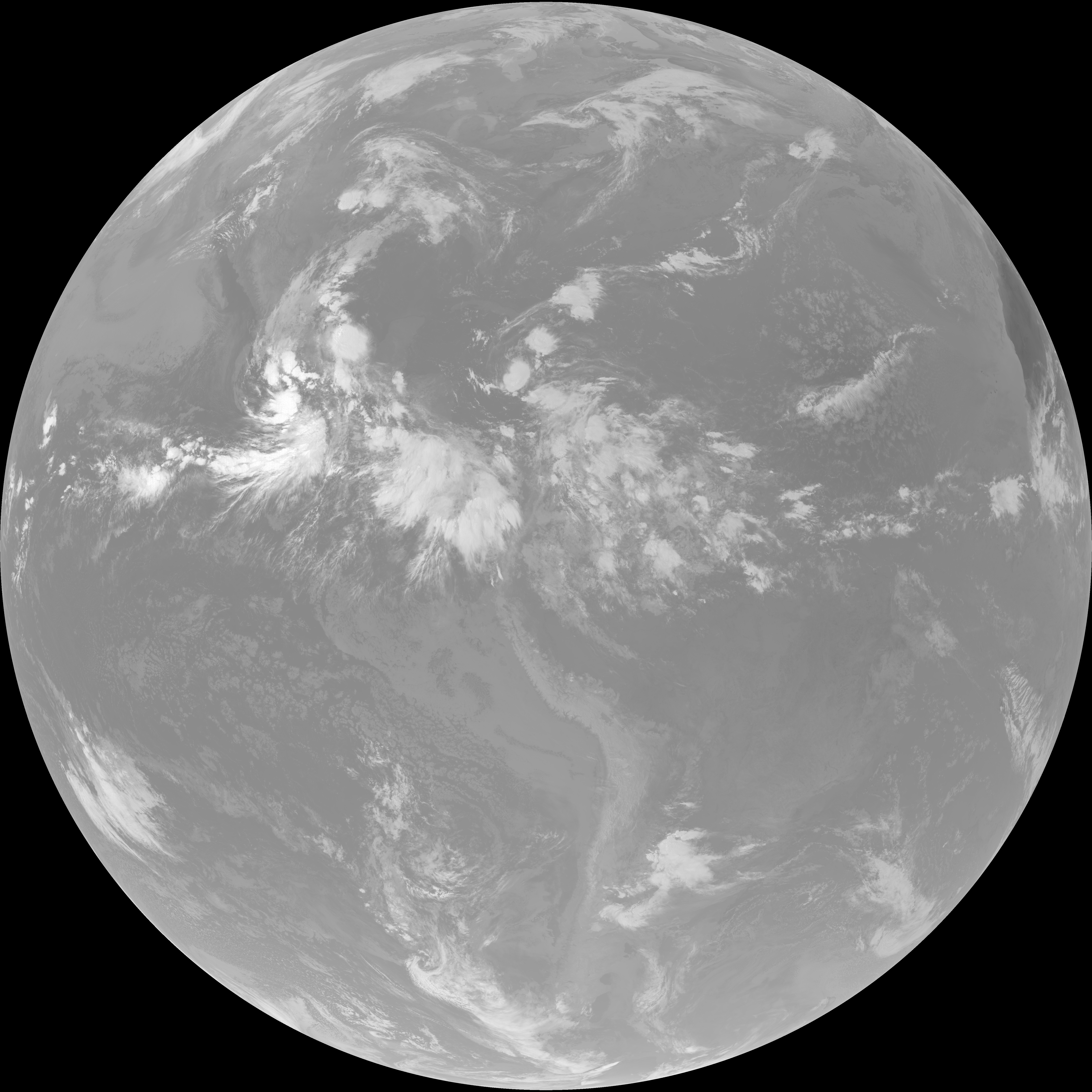
| abi_rgb_Shortwave_Window_Band.png | 14258195 | 2026-Jun-07 12:13 |
| abi_rgb_Shortwave_Window_Band_map.png | 14320257 | 2026-Jun-07 12:13 |
| G19_13_20260607T120021Z.png | 10164889 | 2026-Jun-07 12:16 |
| abi_rgb_Clean_Longwave_IR_Window_Band.png | 13661866 | 2026-Jun-07 12:16 |
| abi_rgb_Clean_Longwave_IR_Window_Band_map.png | 13705420 | 2026-Jun-07 12:16 |
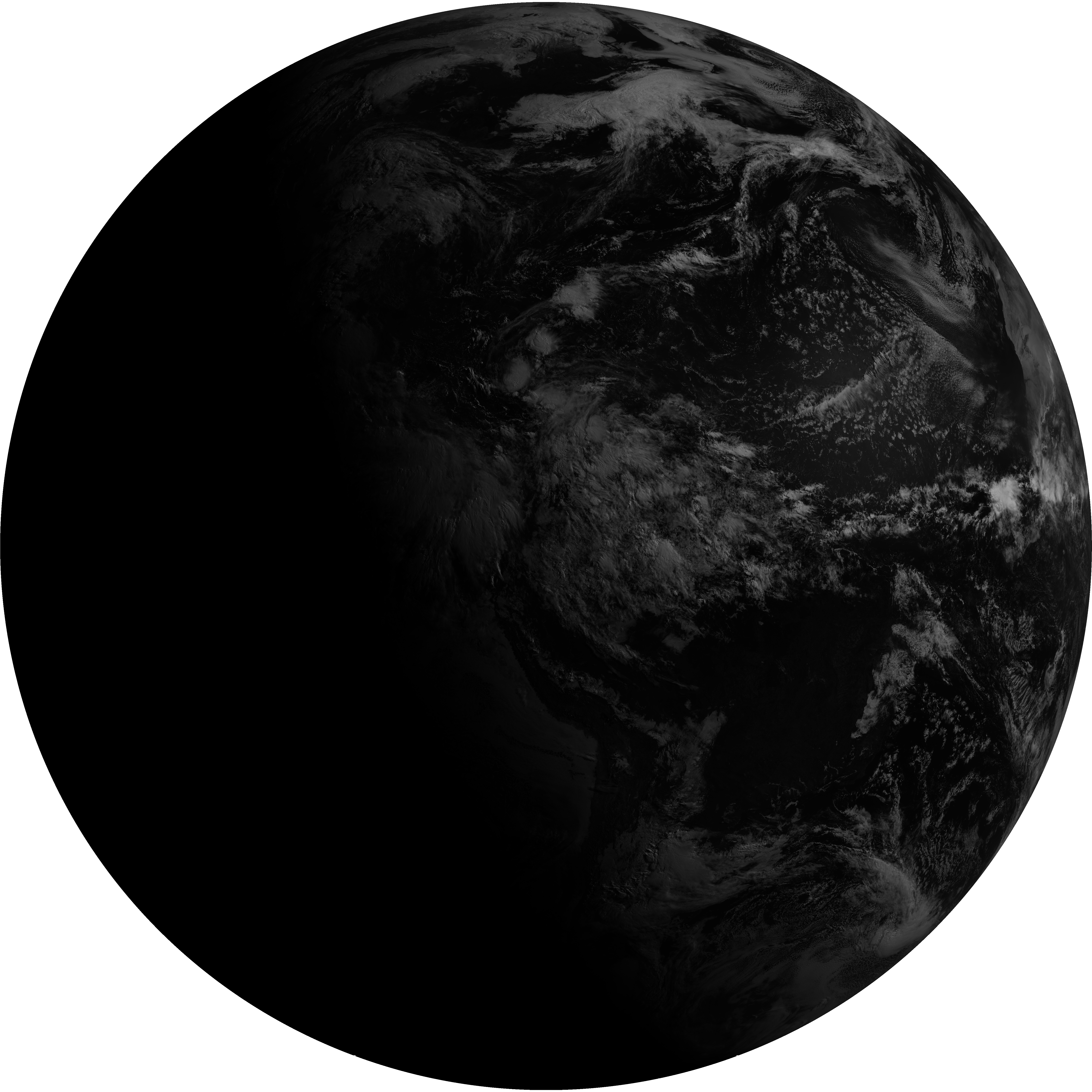
| G19_2_20260607T120021Z.png | 9292863 | 2026-Jun-07 12:19 |
| G19_8_20260607T120021Z.png | 5615037 | 2026-Jun-07 12:21 |
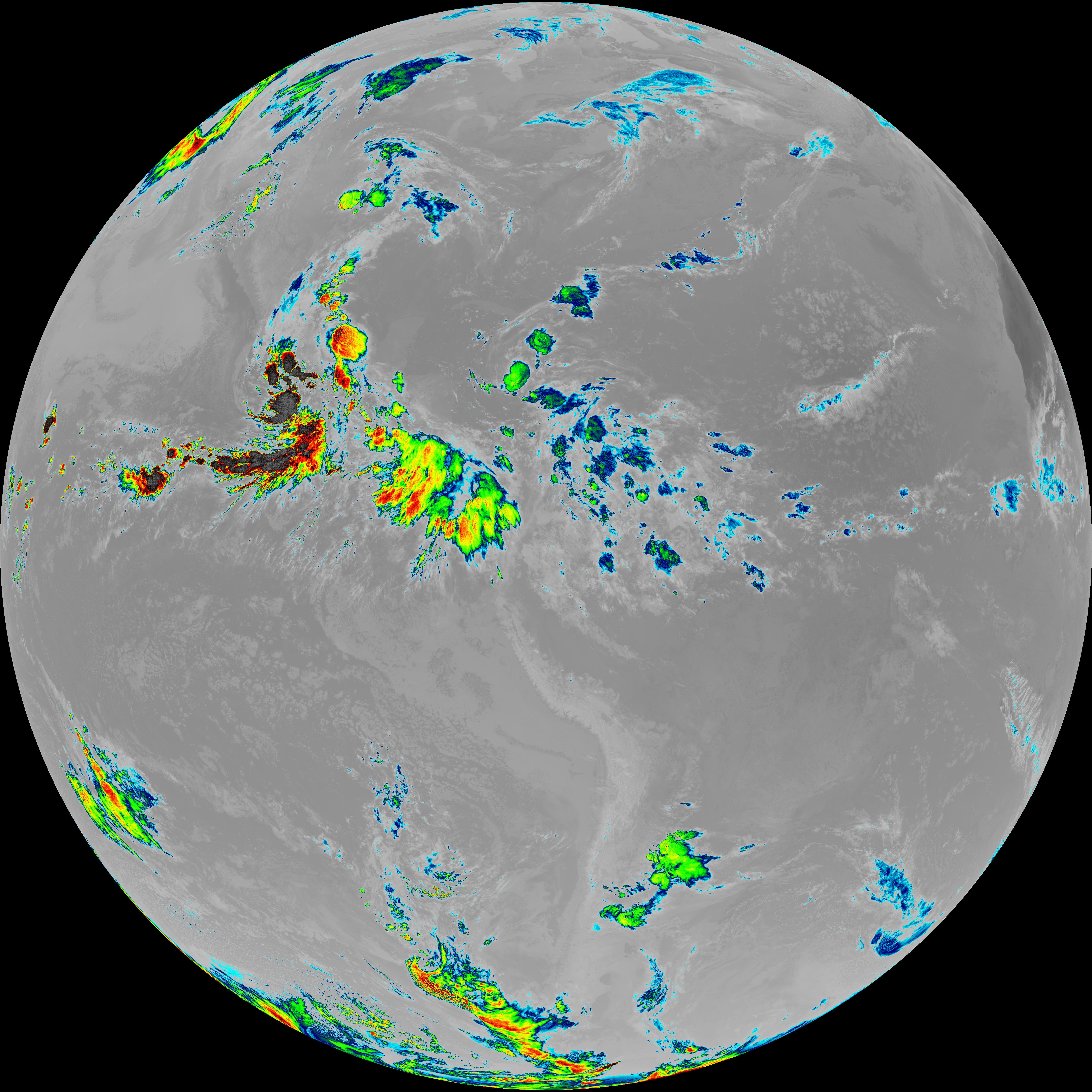
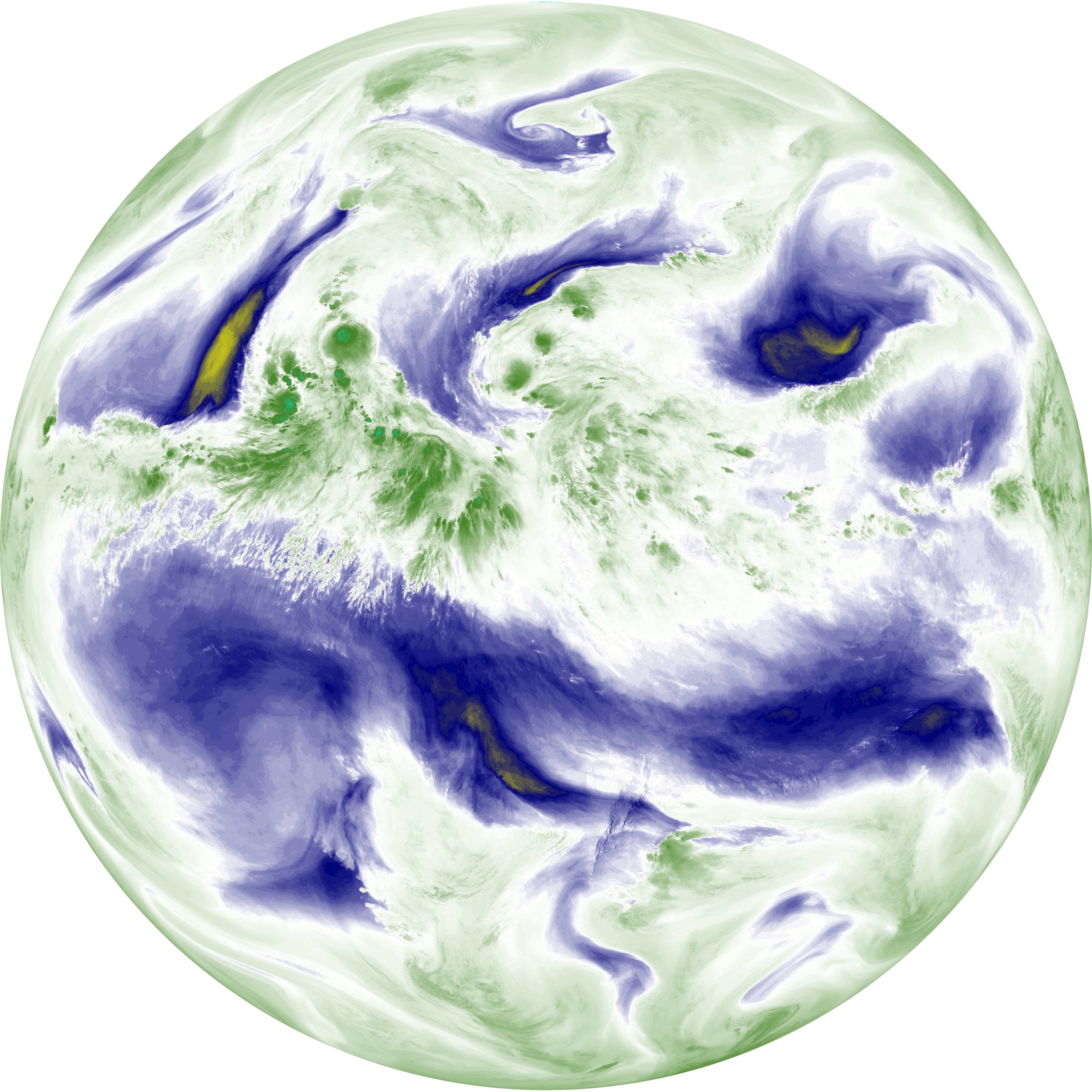
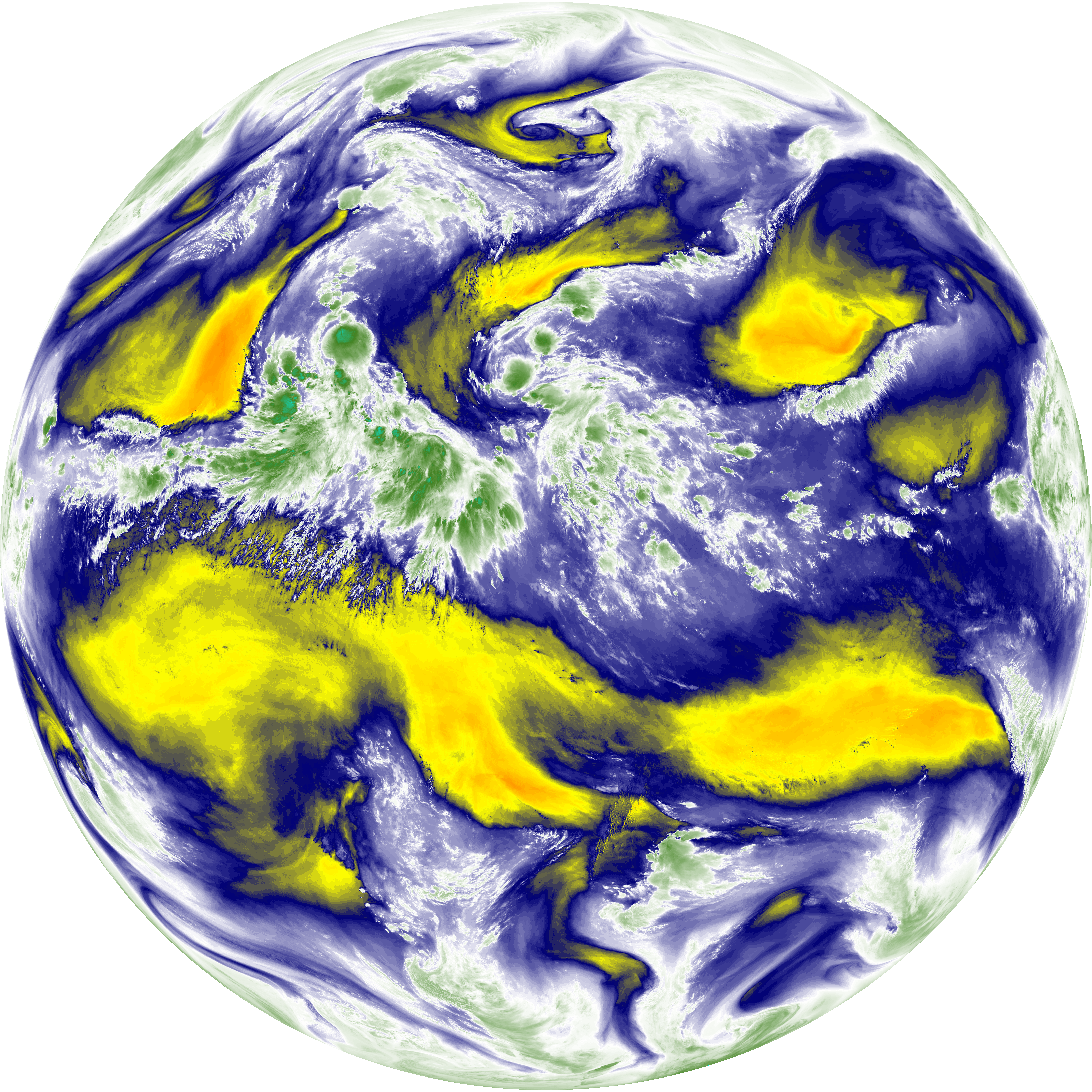
| abi_rgb_Upper-Level_Tropospheric_Water_Vapor.png | 7470611 | 2026-Jun-07 12:21 |
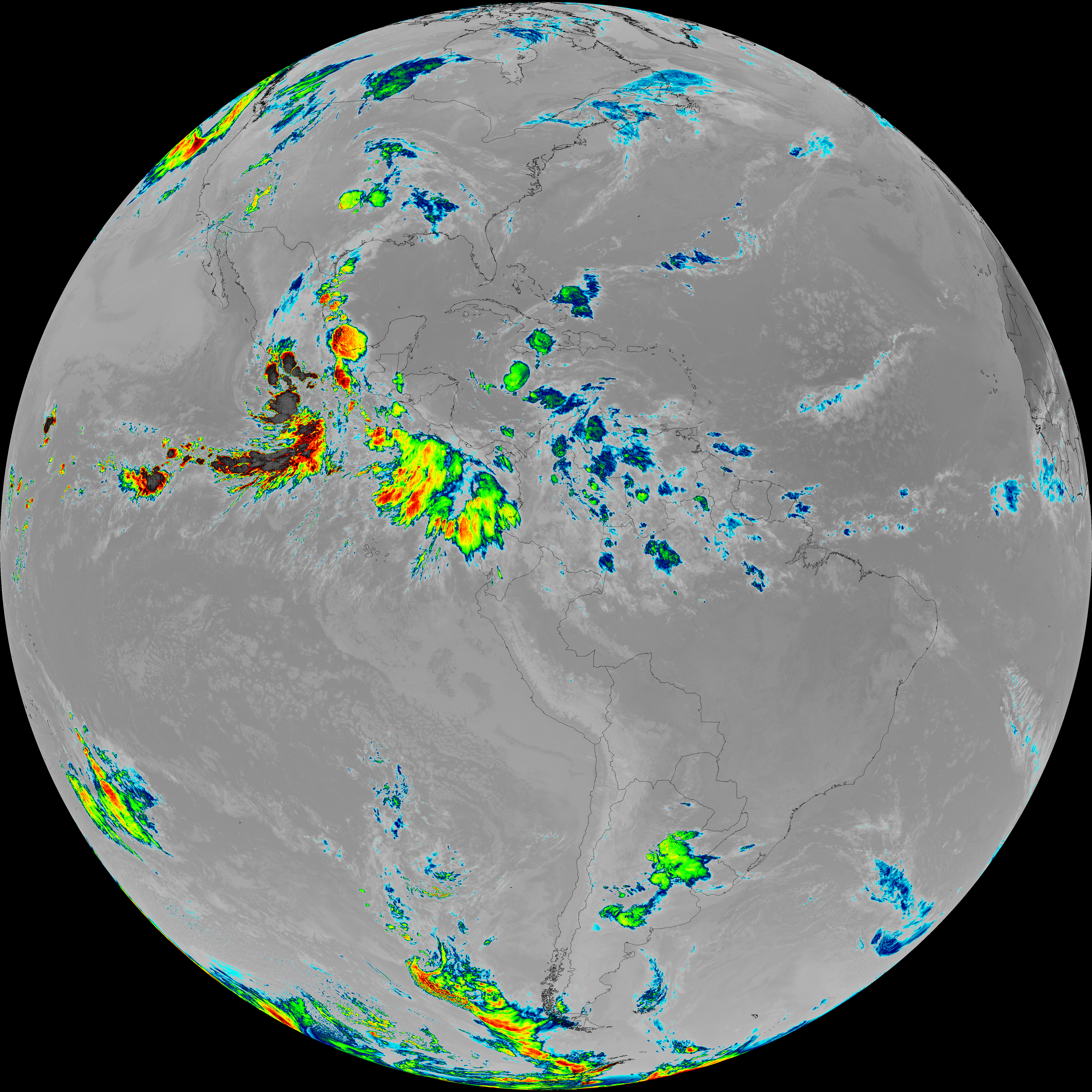
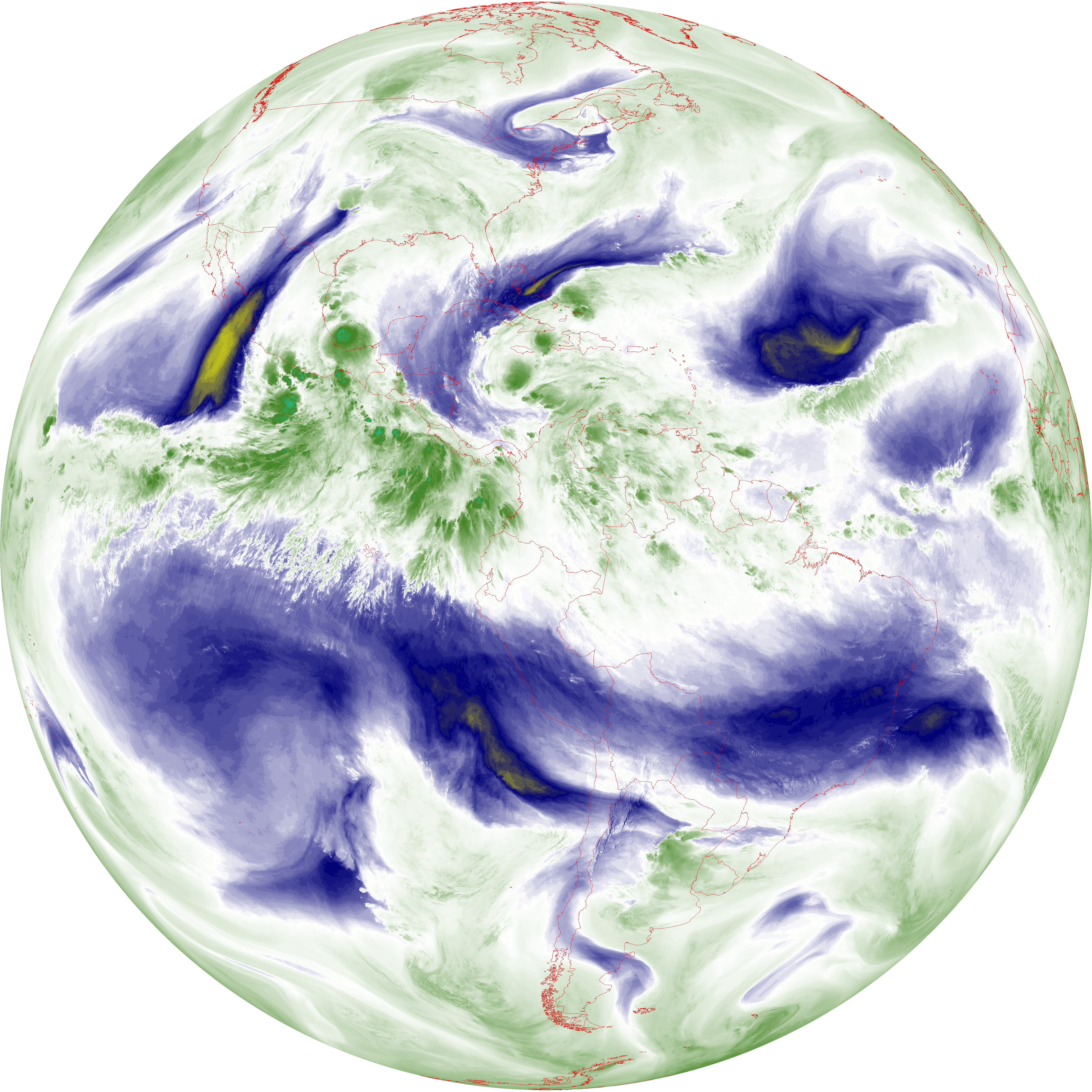
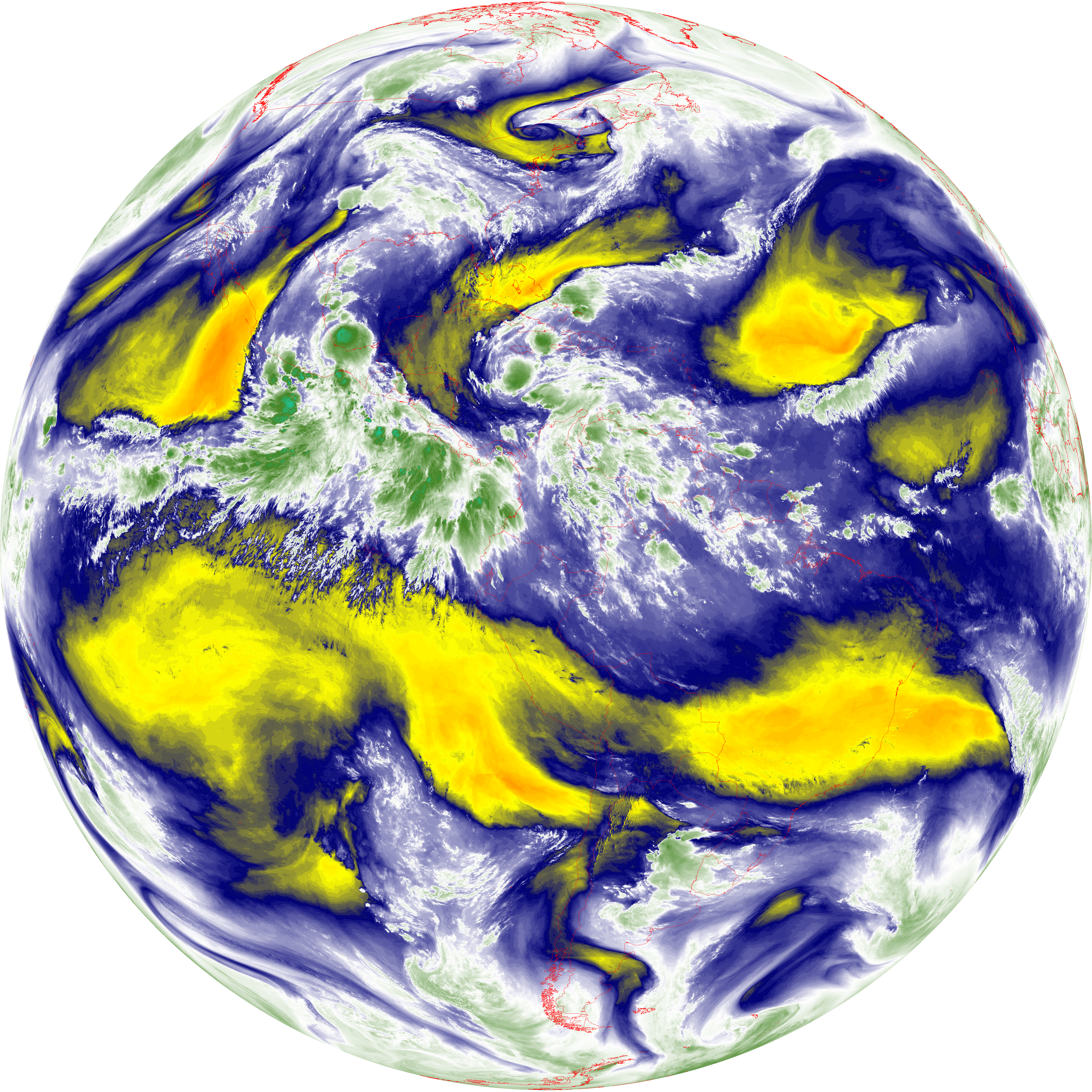
| abi_rgb_Upper-Level_Tropospheric_Water_Vapor_map.png | 7581657 | 2026-Jun-07 12:21 |
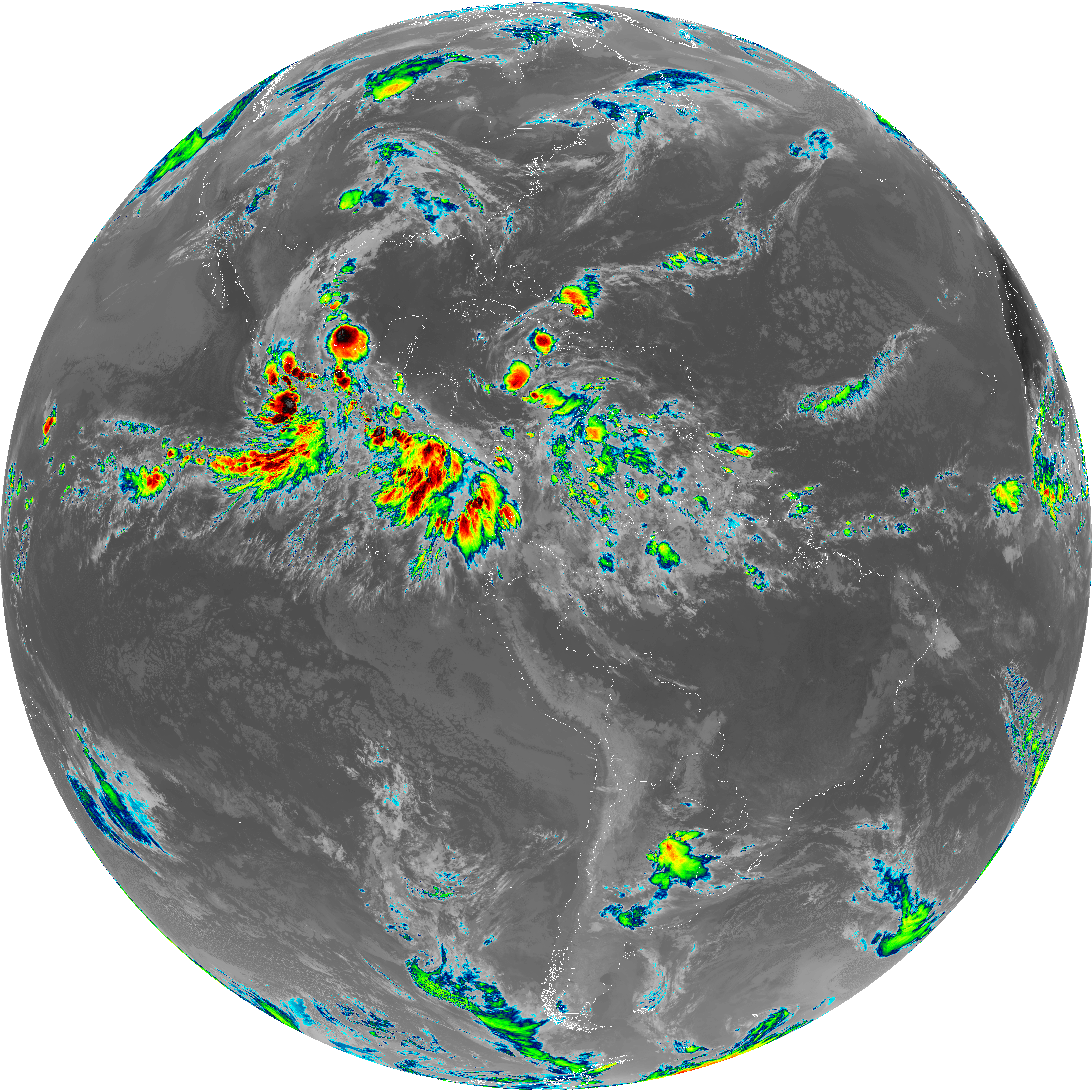
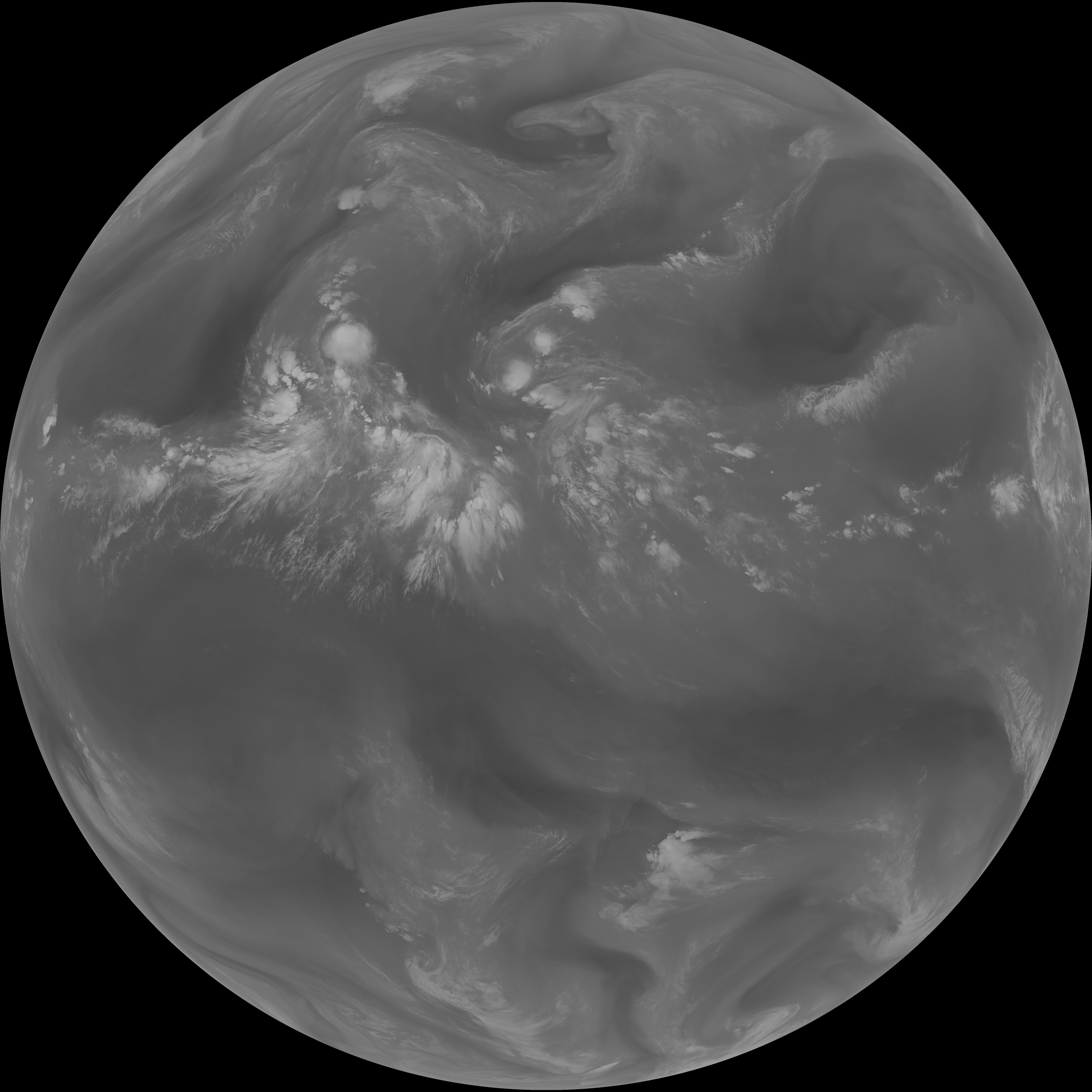
| G19_9_20260607T120021Z.png | 6479374 | 2026-Jun-07 12:23 |
| abi_rgb_Mid-level_Tropospheric_Water_Vapor.png | 8677321 | 2026-Jun-07 12:23 |
| abi_rgb_Mid-level_Tropospheric_Water_Vapor_map.png | 8779099 | 2026-Jun-07 12:23 |
| G19_14_20260607T120021Z.png | 10318617 | 2026-Jun-07 12:26 |
| abi_rgb_Infrared_Longwave_Window_Band.png | 13841875 | 2026-Jun-07 12:26 |
| abi_rgb_Infrared_Longwave_Window_Band_map.png | 13885064 | 2026-Jun-07 12:26 |
| G19_15_20260607T120021Z.png | 10060857 | 2026-Jun-07 12:29 |
| abi_rgb_Dirty_Longwave_Window.png | 13549255 | 2026-Jun-07 12:29 |
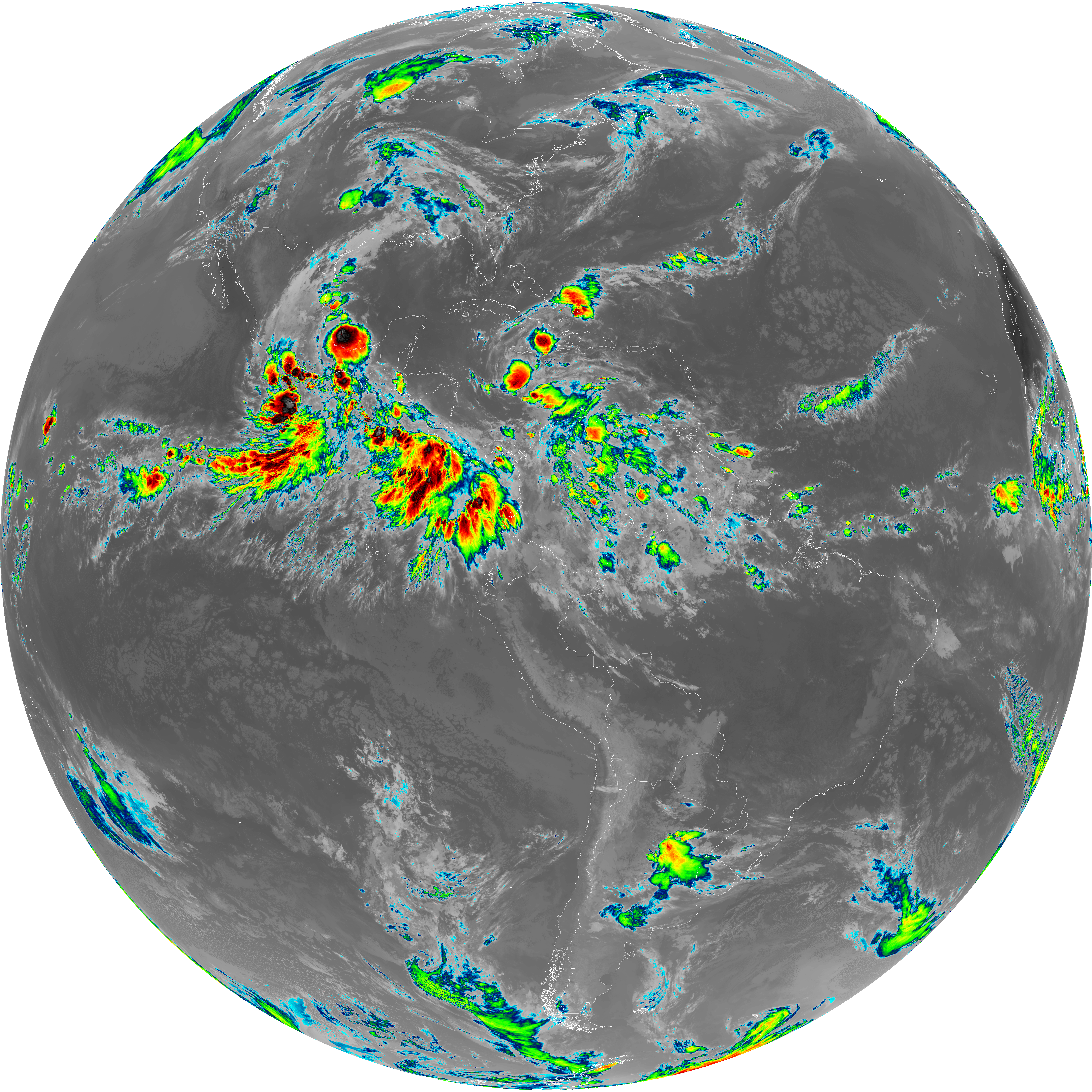
| abi_rgb_Dirty_Longwave_Window_map.png | 13595140 | 2026-Jun-07 12:29 |
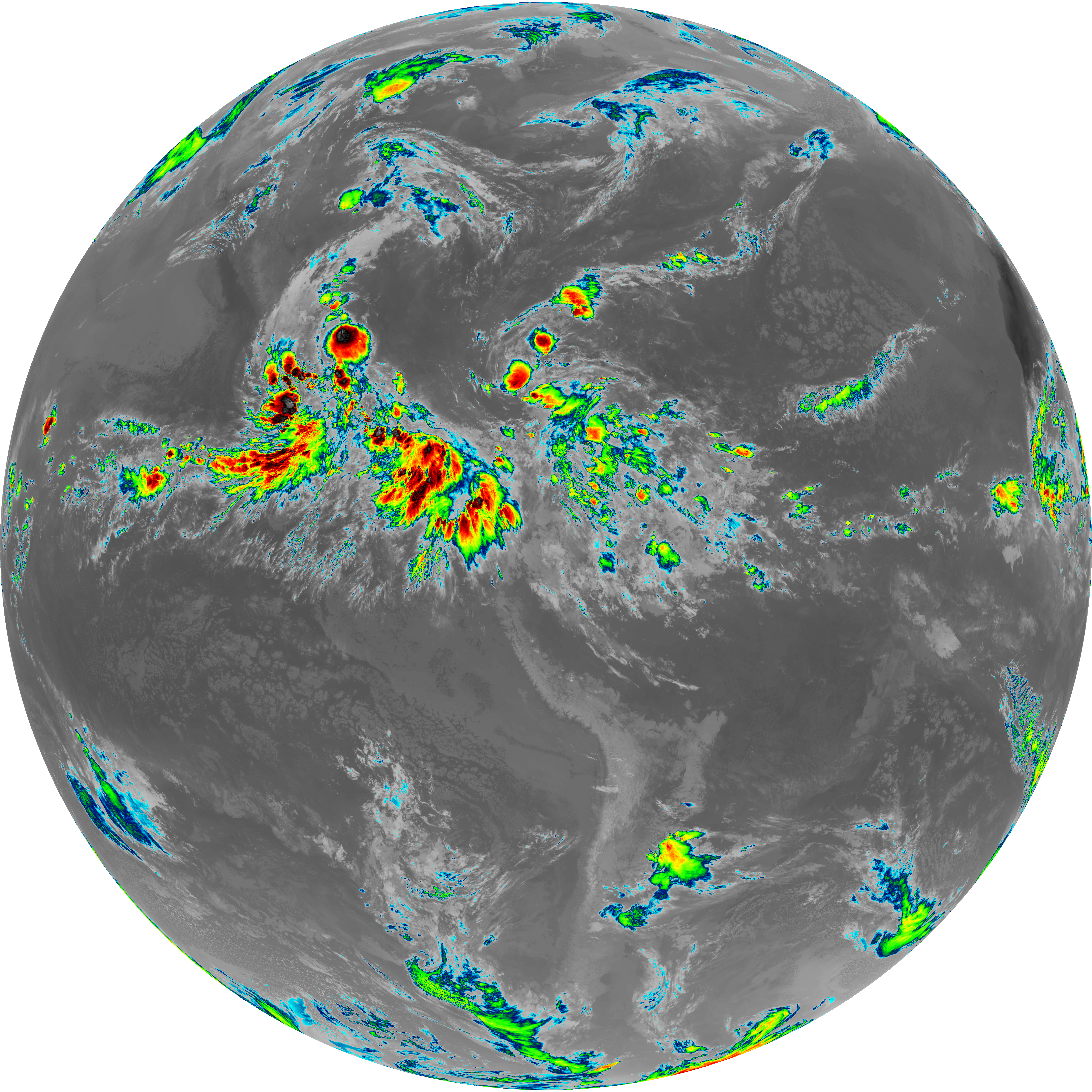
| abi_rgb_Dirty_Longwave_Window_-_CIRA.png | 11887603 | 2026-Jun-07 12:29 |
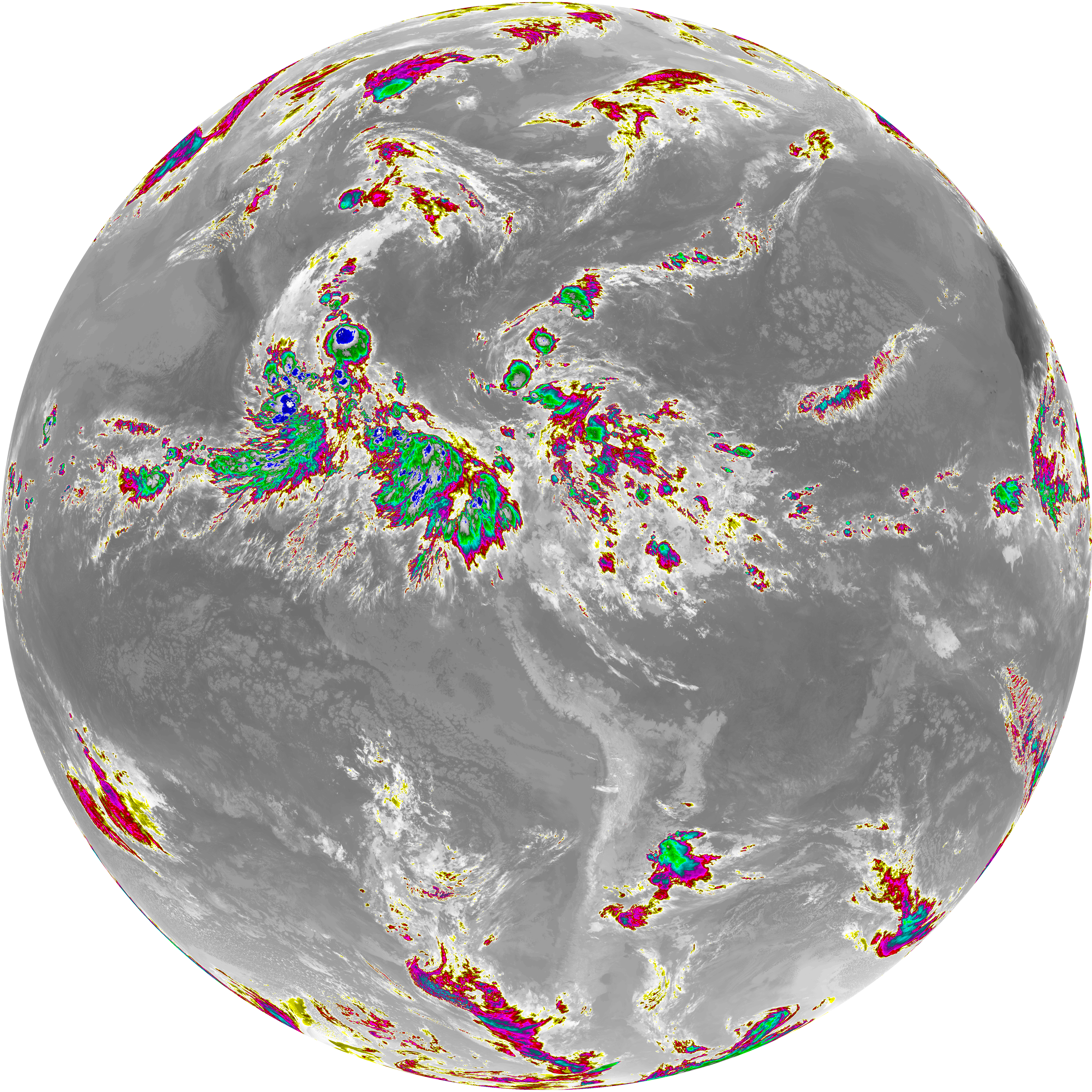
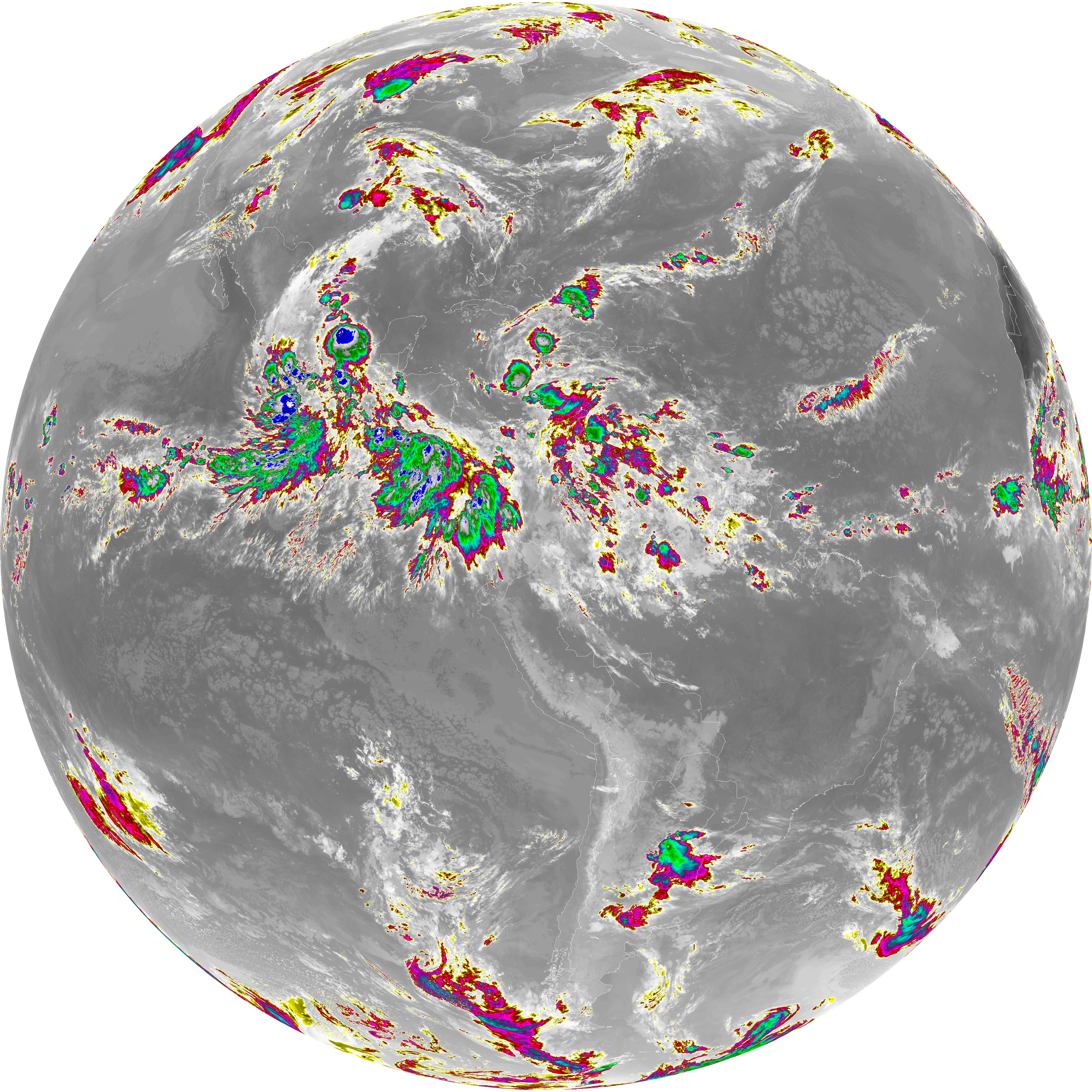
| abi_rgb_Dirty_Longwave_Window_-_CIRA_map.png | 11944508 | 2026-Jun-07 12:30 |