| Parent directory/ | - | - |
| abi_rgb_Dirty_Longwave_Window_-_CIRA_map.png | 11967766 | 2026-Jun-07 12:59 |
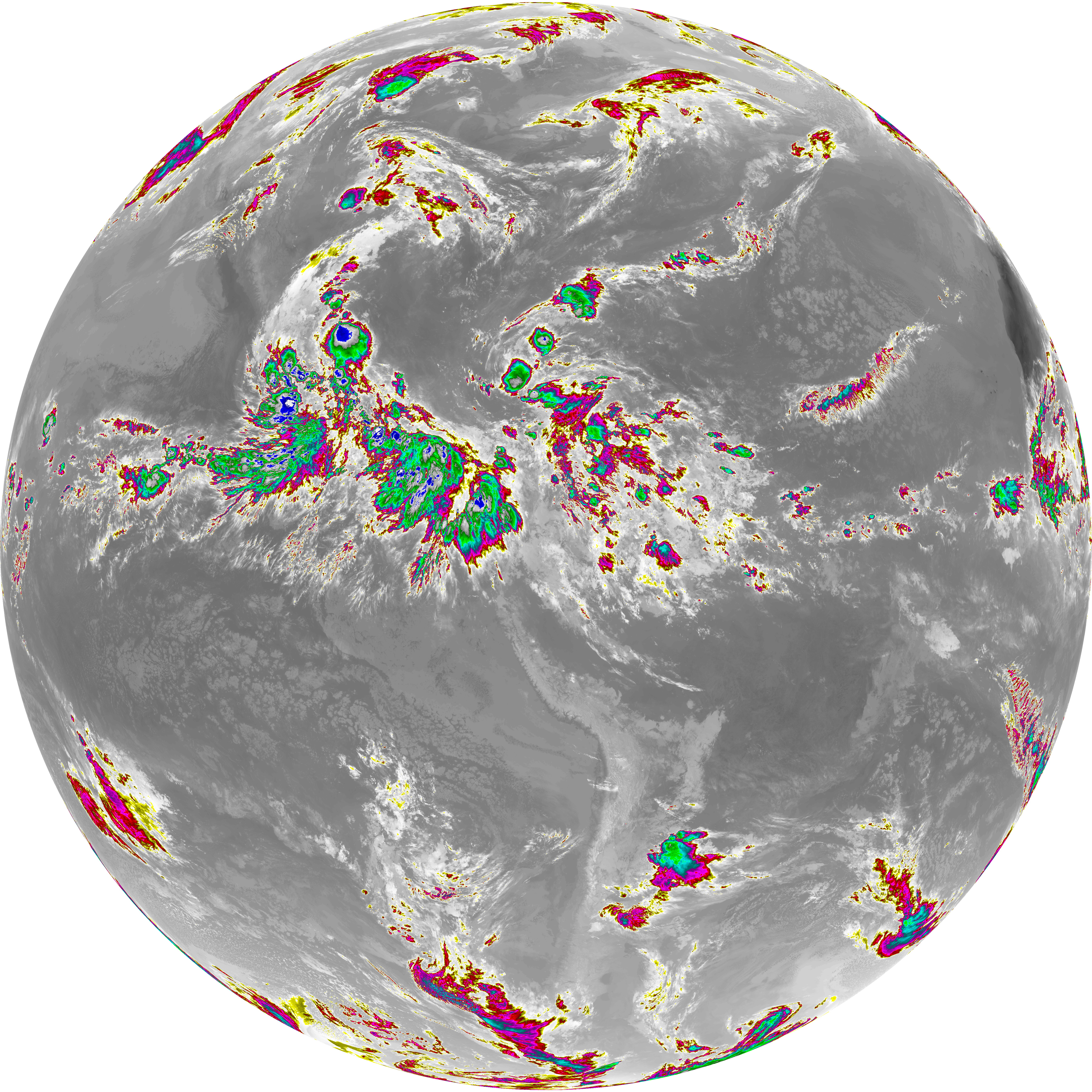
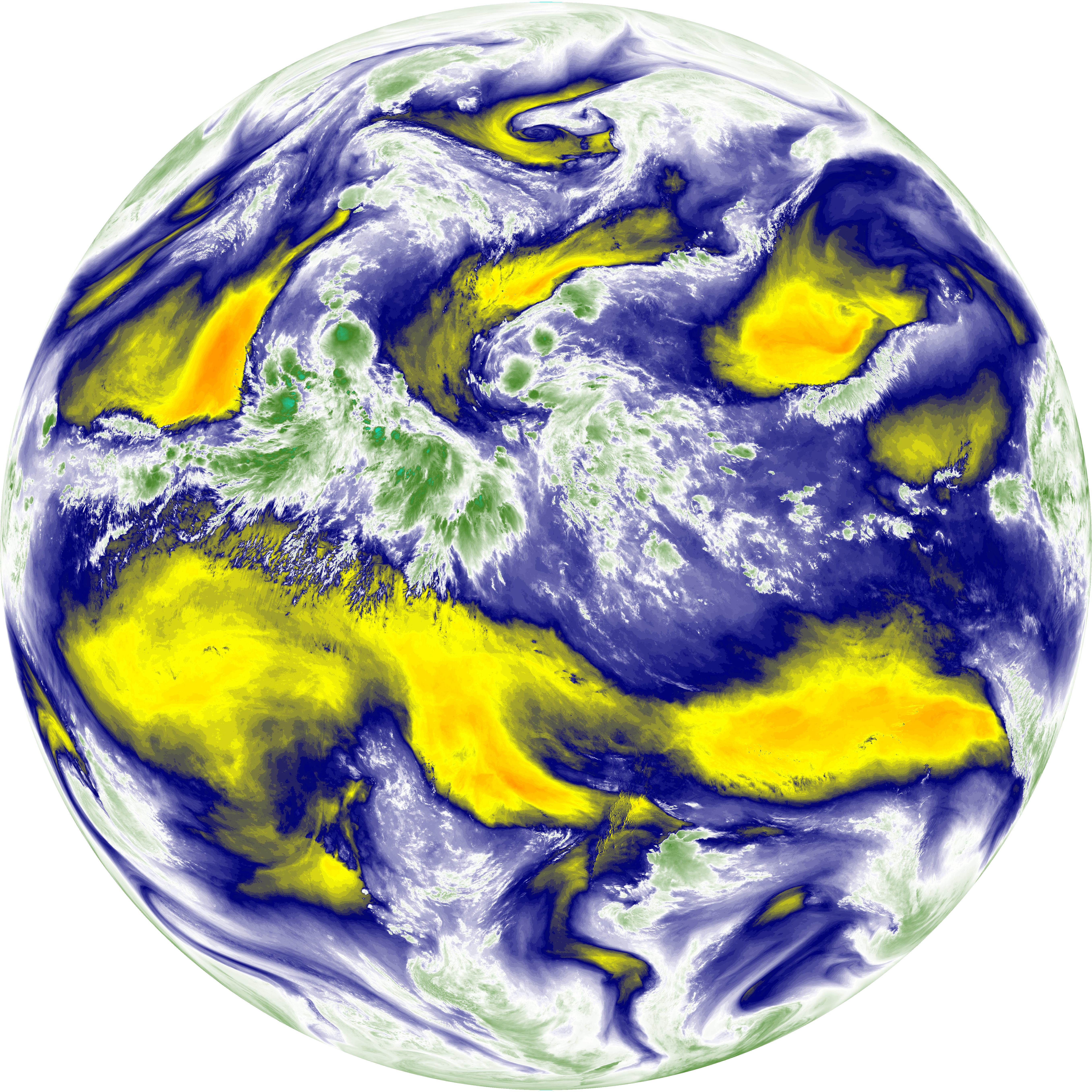
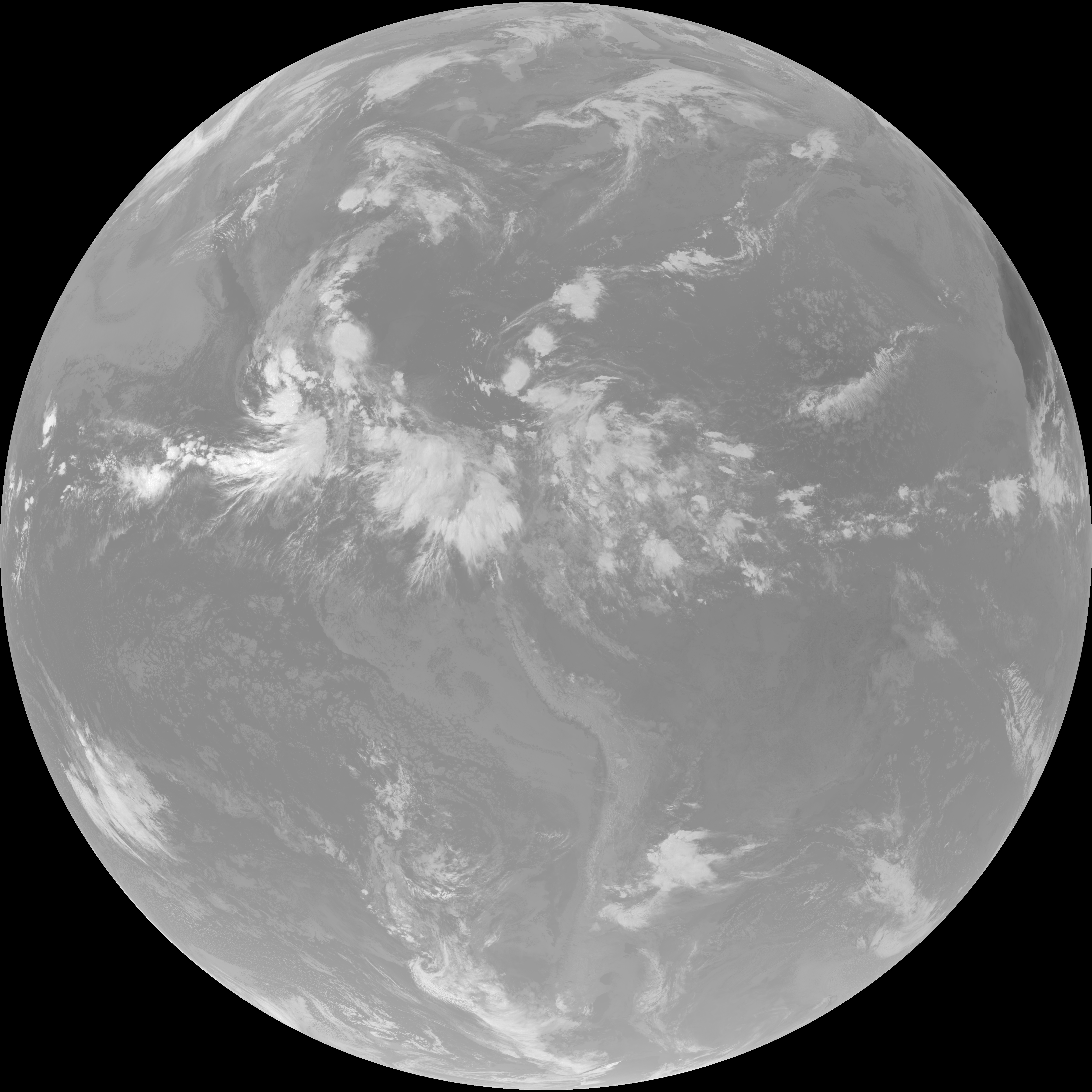
| abi_rgb_Dirty_Longwave_Window_-_CIRA.png | 11911062 | 2026-Jun-07 12:59 |
| abi_rgb_Dirty_Longwave_Window_map.png | 13601981 | 2026-Jun-07 12:59 |
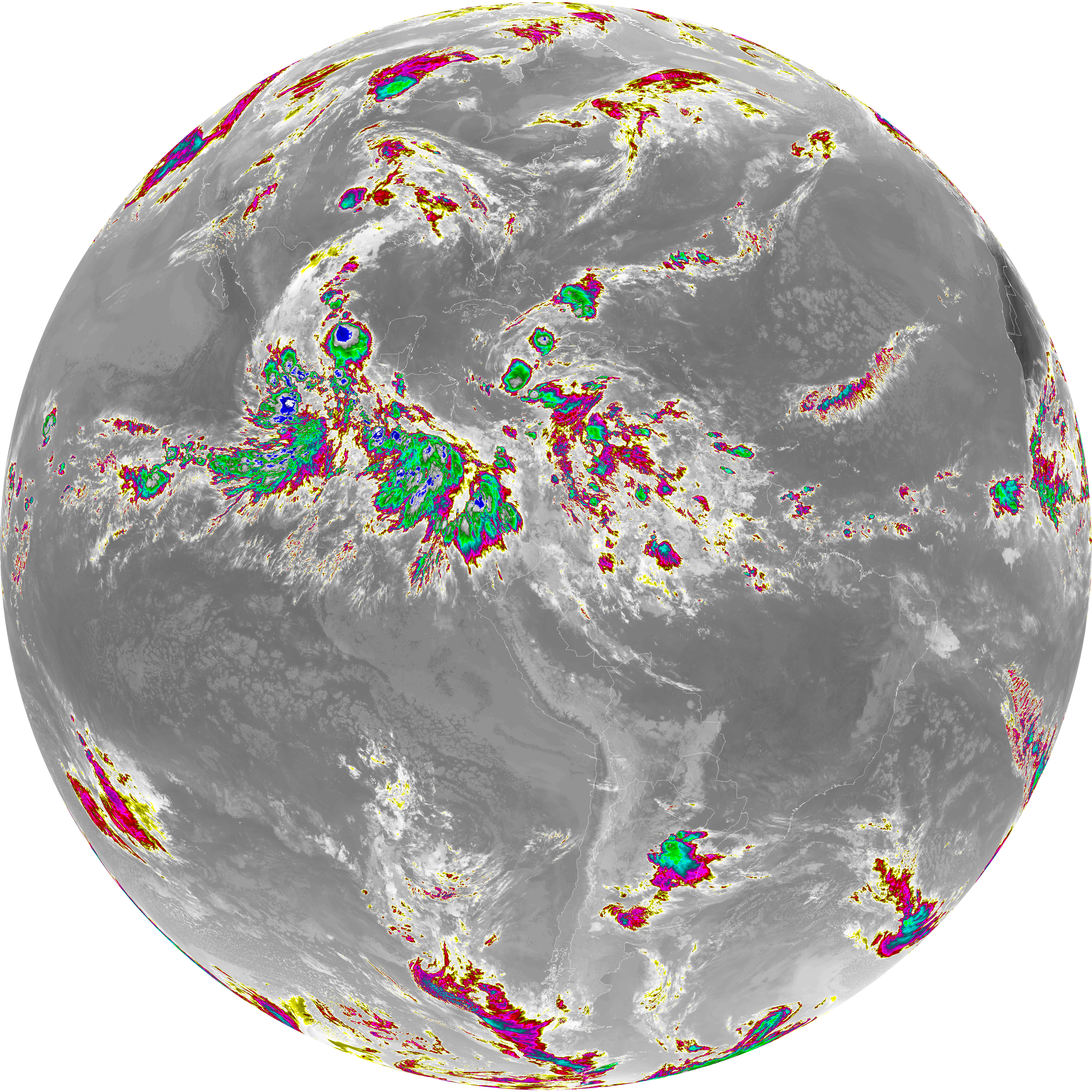
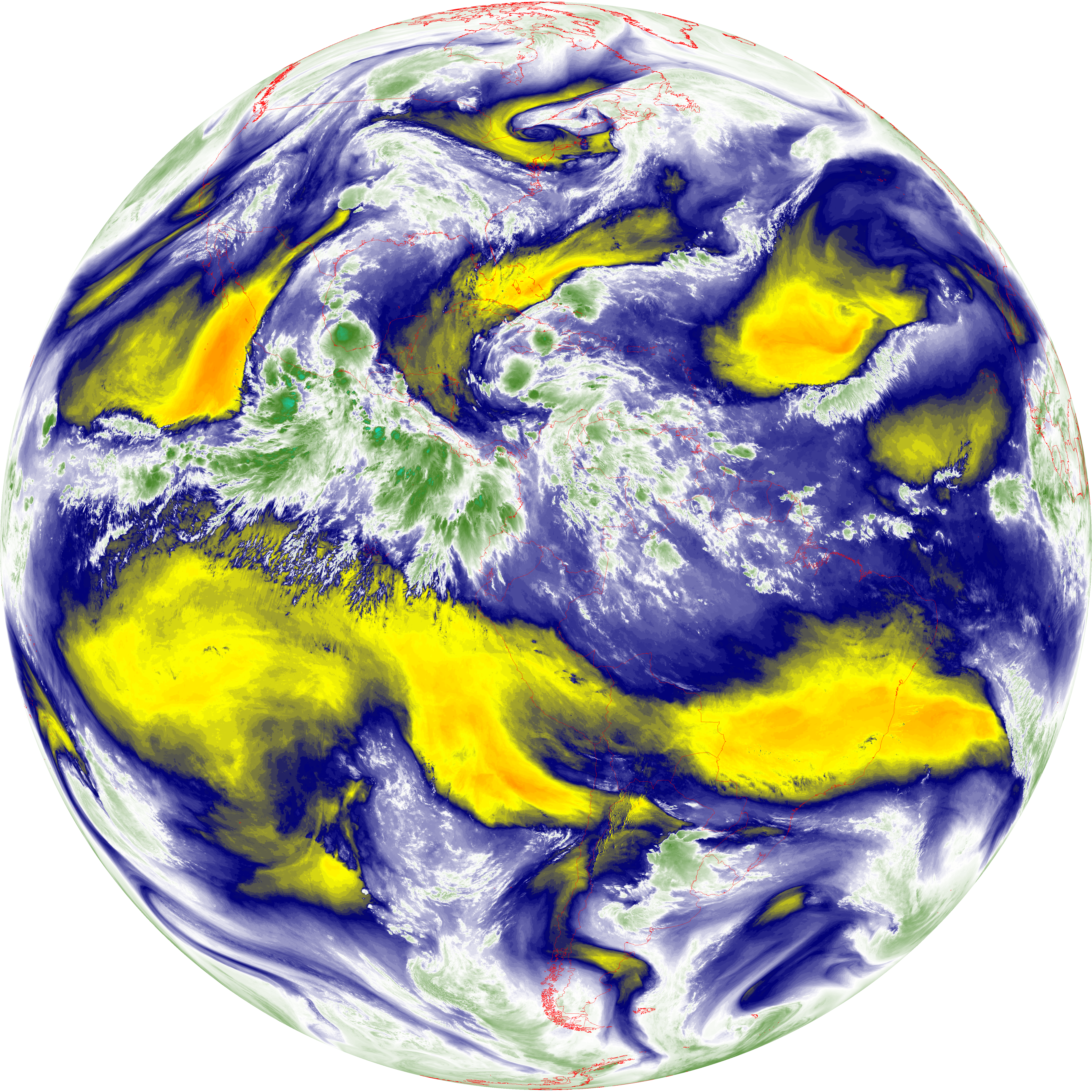
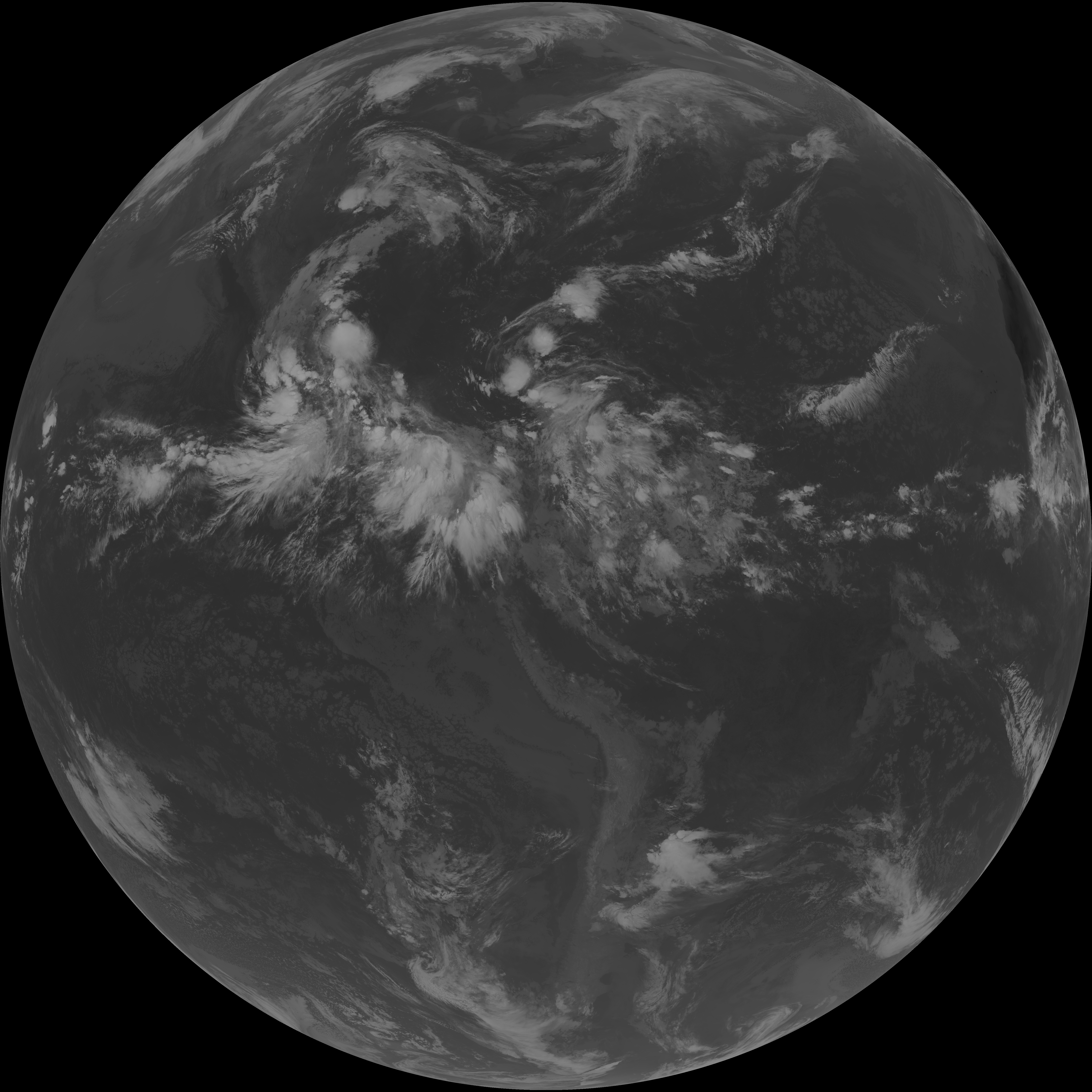
| abi_rgb_Dirty_Longwave_Window.png | 13557661 | 2026-Jun-07 12:59 |
| G19_15_20260607T123021Z.png | 10067775 | 2026-Jun-07 12:58 |
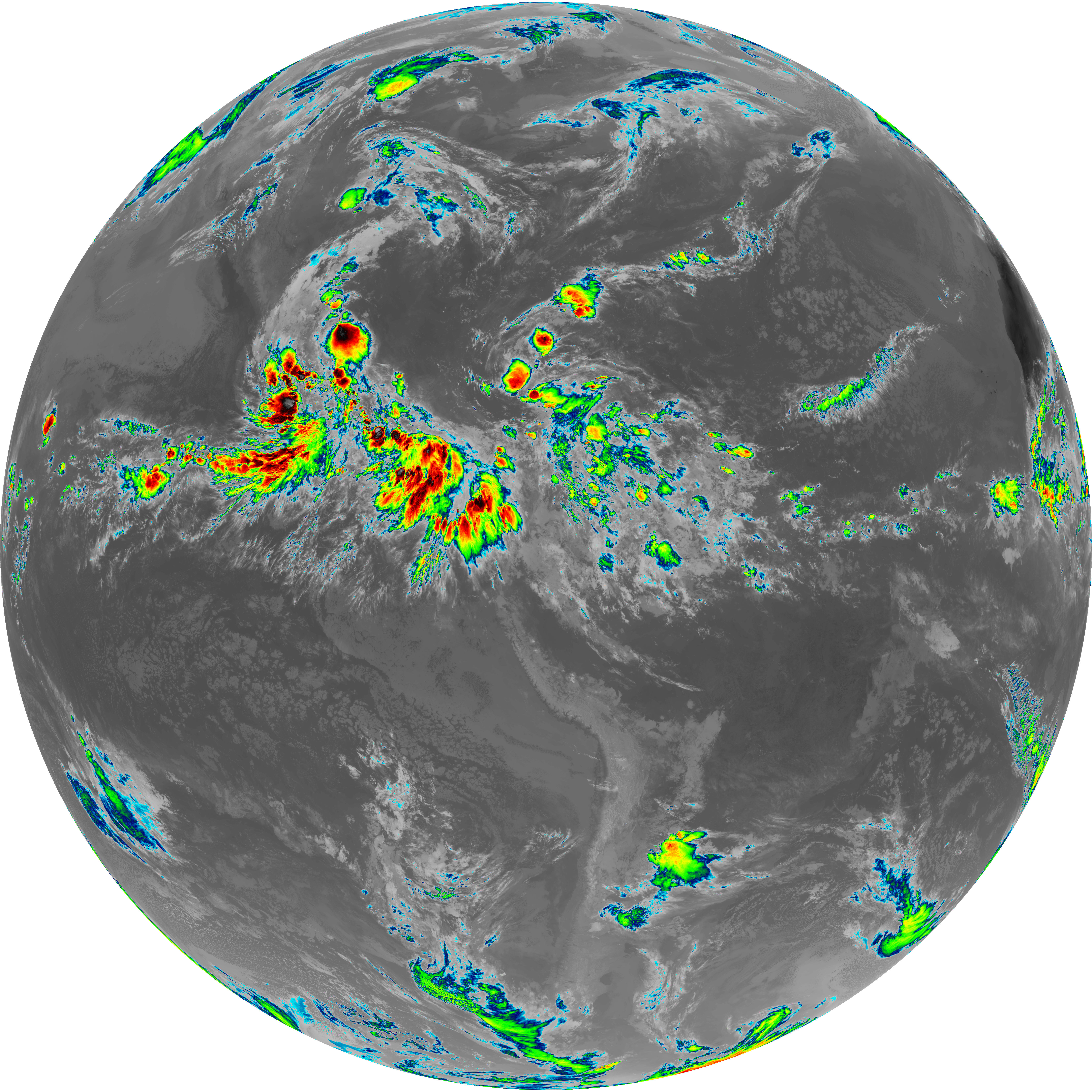
| abi_rgb_Infrared_Longwave_Window_Band_map.png | 13903897 | 2026-Jun-07 12:56 |
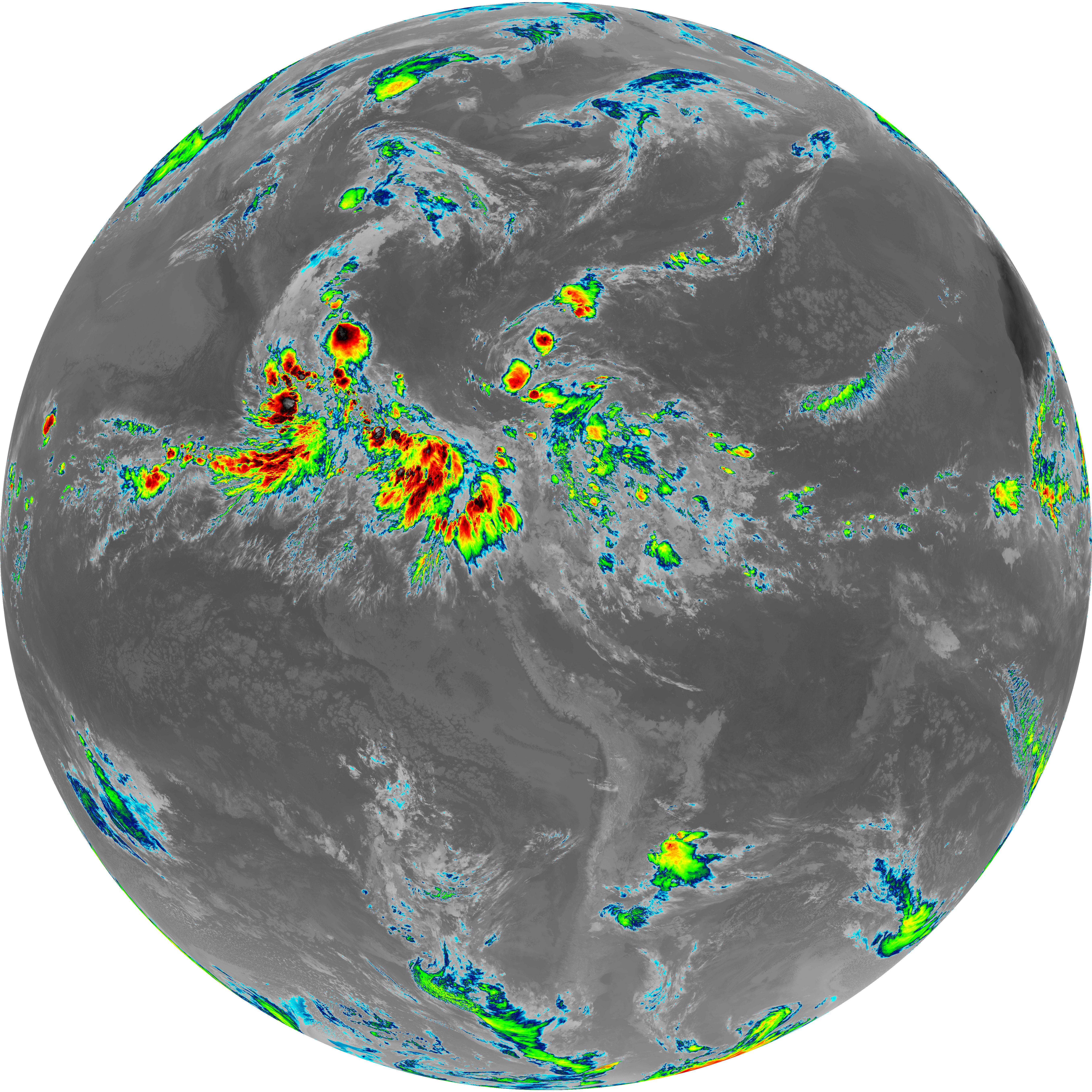
| abi_rgb_Infrared_Longwave_Window_Band.png | 13862956 | 2026-Jun-07 12:56 |
| G19_14_20260607T123021Z.png | 10334919 | 2026-Jun-07 12:56 |
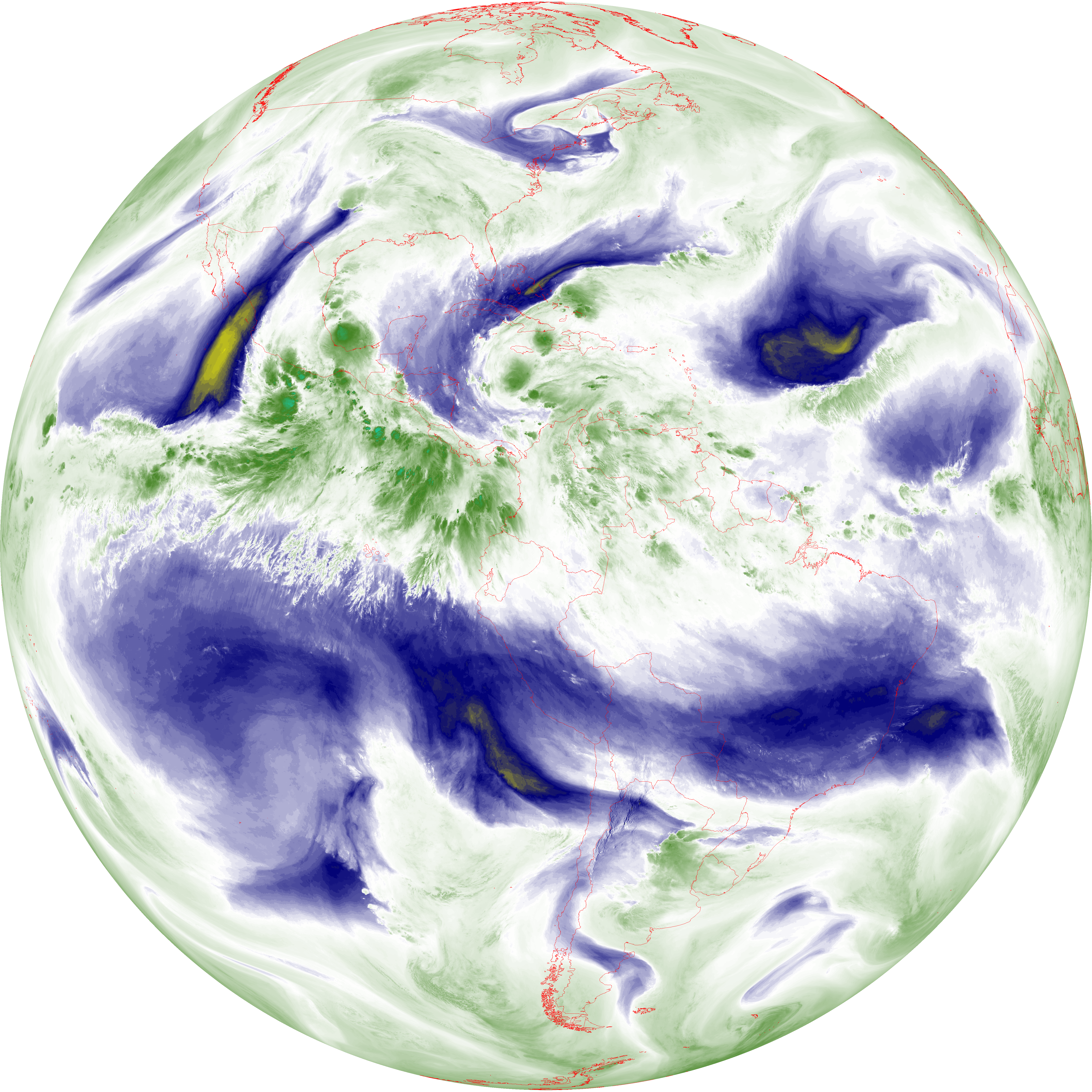
| abi_rgb_Mid-level_Tropospheric_Water_Vapor_map.png | 8770839 | 2026-Jun-07 12:53 |
| abi_rgb_Mid-level_Tropospheric_Water_Vapor.png | 8669787 | 2026-Jun-07 12:53 |
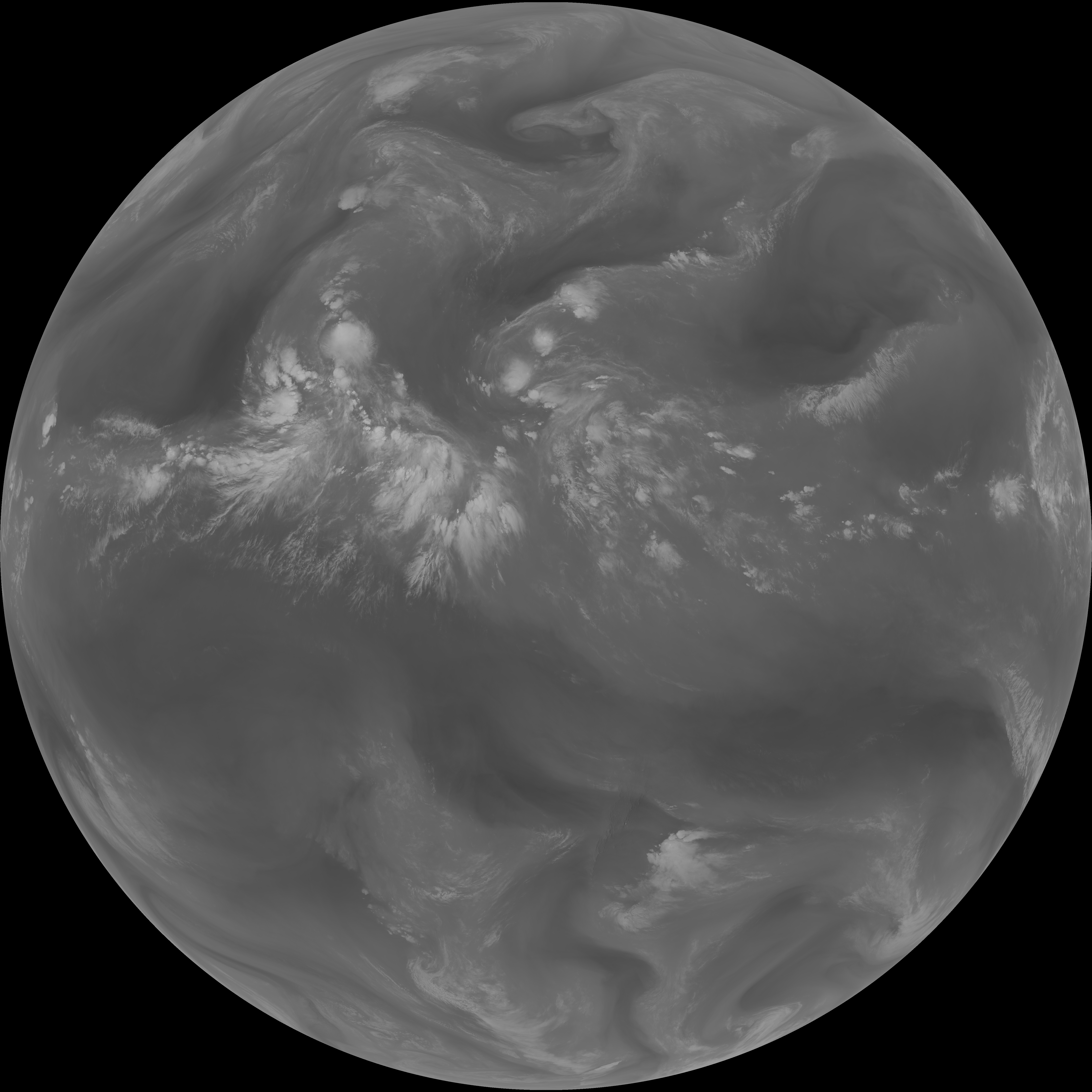
| G19_9_20260607T123021Z.png | 6478248 | 2026-Jun-07 12:53 |
| abi_rgb_Upper-Level_Tropospheric_Water_Vapor_map.png | 7593045 | 2026-Jun-07 12:51 |
| abi_rgb_Upper-Level_Tropospheric_Water_Vapor.png | 7480979 | 2026-Jun-07 12:51 |
| G19_8_20260607T123021Z.png | 5623490 | 2026-Jun-07 12:51 |
| G19_2_20260607T123021Z.png | 10473297 | 2026-Jun-07 12:49 |
| abi_rgb_Clean_Longwave_IR_Window_Band_map.png | 13730461 | 2026-Jun-07 12:46 |
| abi_rgb_Clean_Longwave_IR_Window_Band.png | 13688338 | 2026-Jun-07 12:46 |
| G19_13_20260607T123021Z.png | 10191151 | 2026-Jun-07 12:45 |
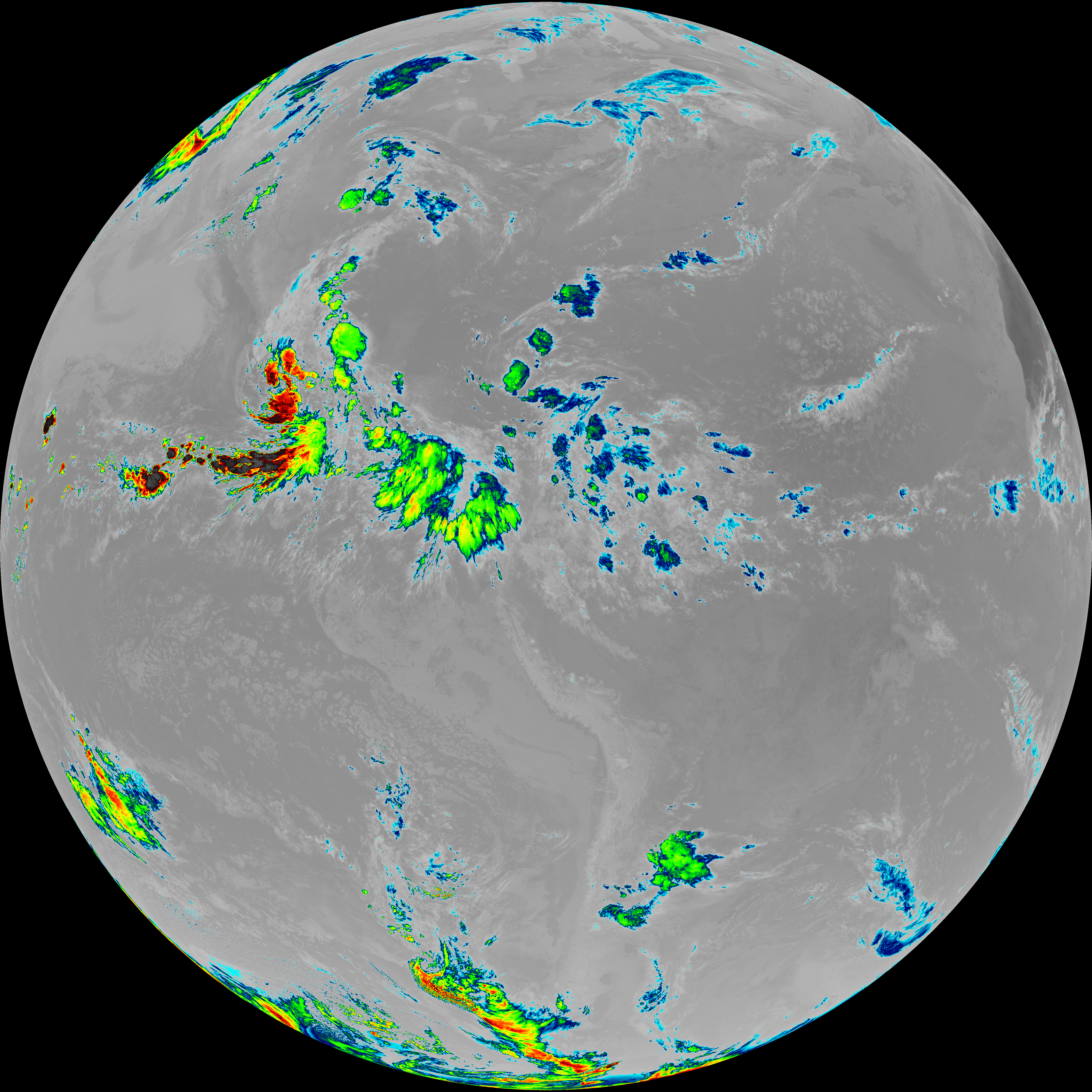
| abi_rgb_Shortwave_Window_Band_map.png | 14236263 | 2026-Jun-07 12:43 |
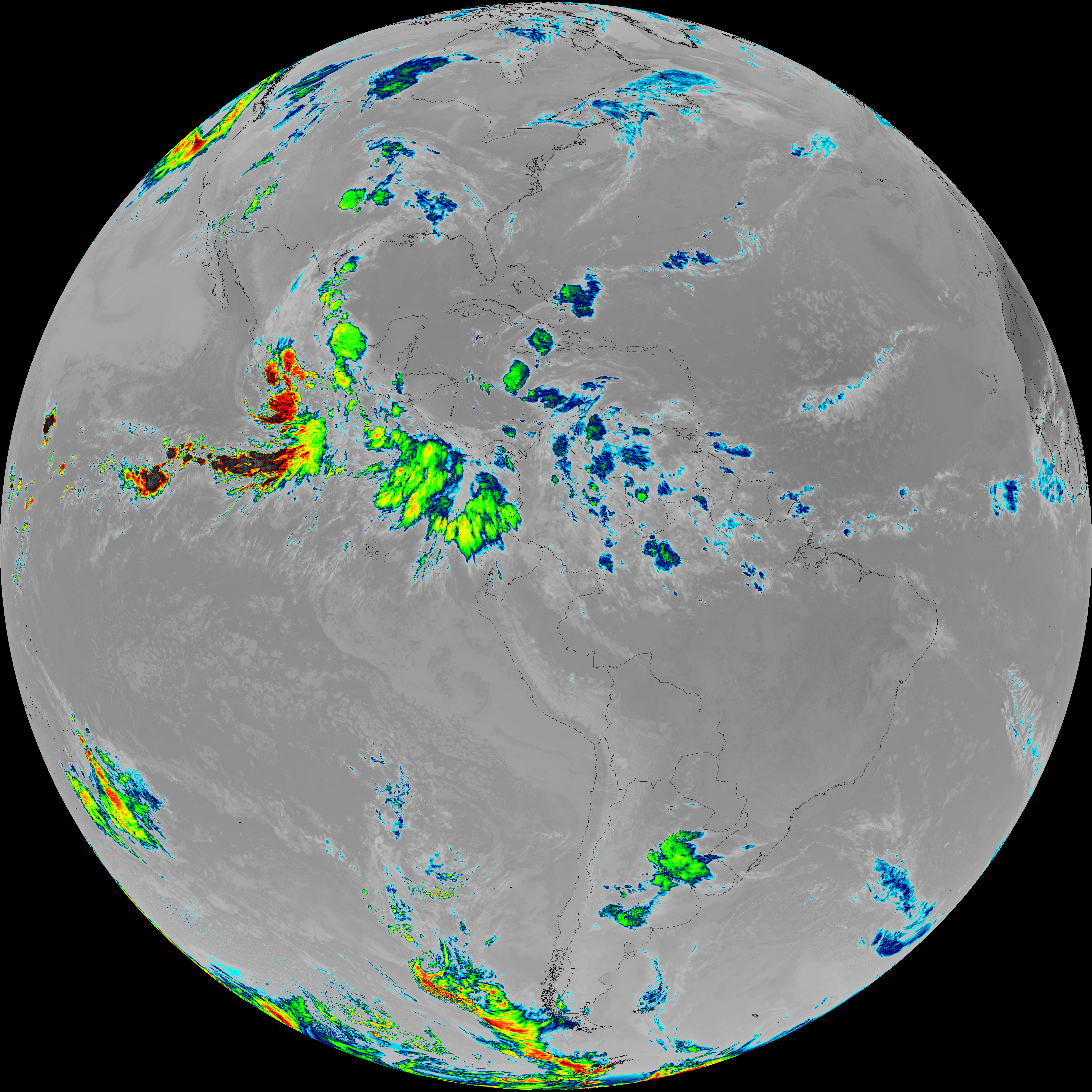
| abi_rgb_Shortwave_Window_Band.png | 14174338 | 2026-Jun-07 12:43 |
| G19_7_20260607T123021Z.png | 10355834 | 2026-Jun-07 12:43 |