| Parent directory/ | - | - |
| abi_rgb_Shortwave_Window_Band_map.png | 14196458 | 2026-Jun-07 13:13 |
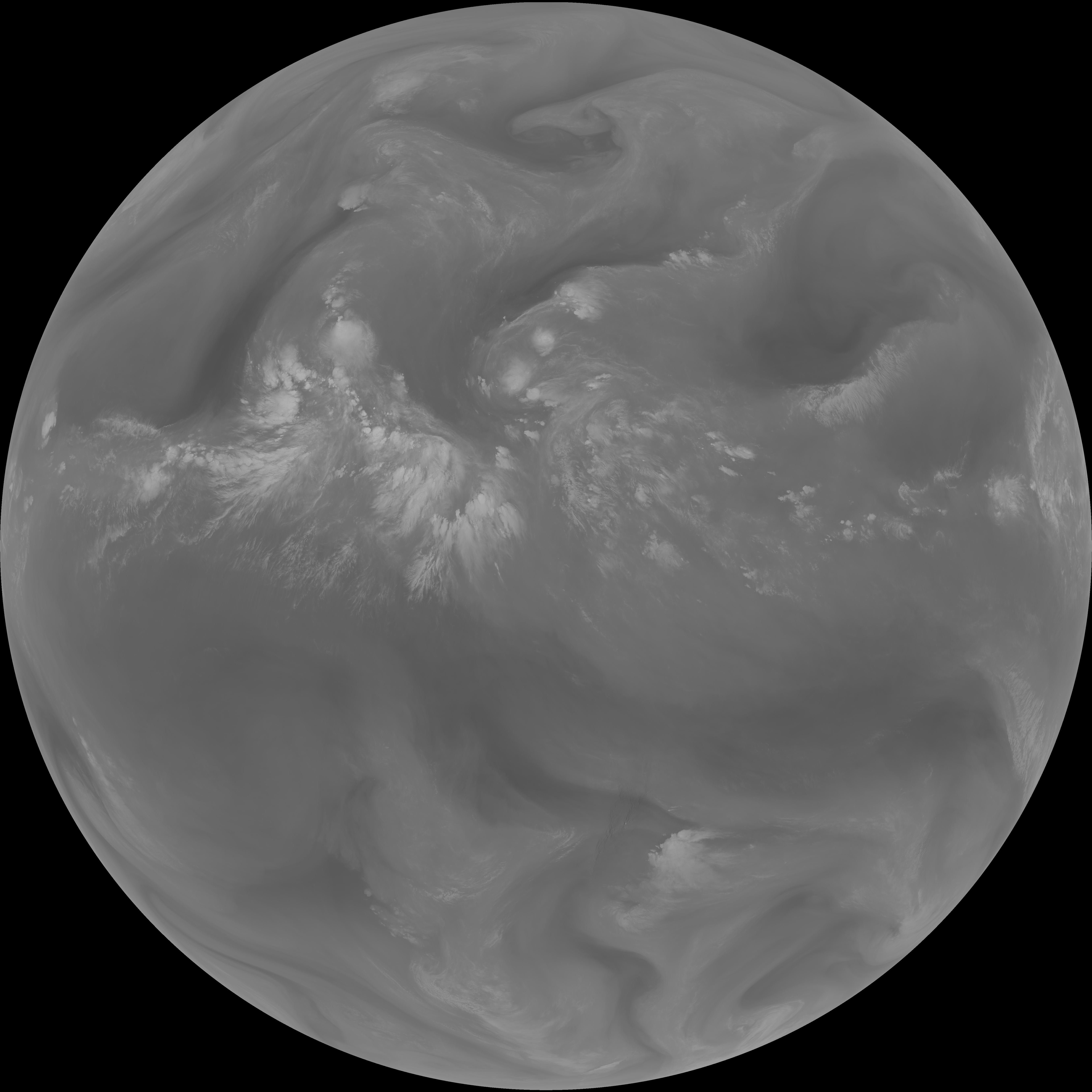
| abi_rgb_Shortwave_Window_Band.png | 14134731 | 2026-Jun-07 13:13 |
| abi_rgb_Infrared_Longwave_Window_Band_map.png | 13950304 | 2026-Jun-07 13:27 |
| abi_rgb_Infrared_Longwave_Window_Band.png | 13910433 | 2026-Jun-07 13:27 |
| abi_rgb_Clean_Longwave_IR_Window_Band_map.png | 13785273 | 2026-Jun-07 13:16 |
| abi_rgb_Clean_Longwave_IR_Window_Band.png | 13743603 | 2026-Jun-07 13:16 |
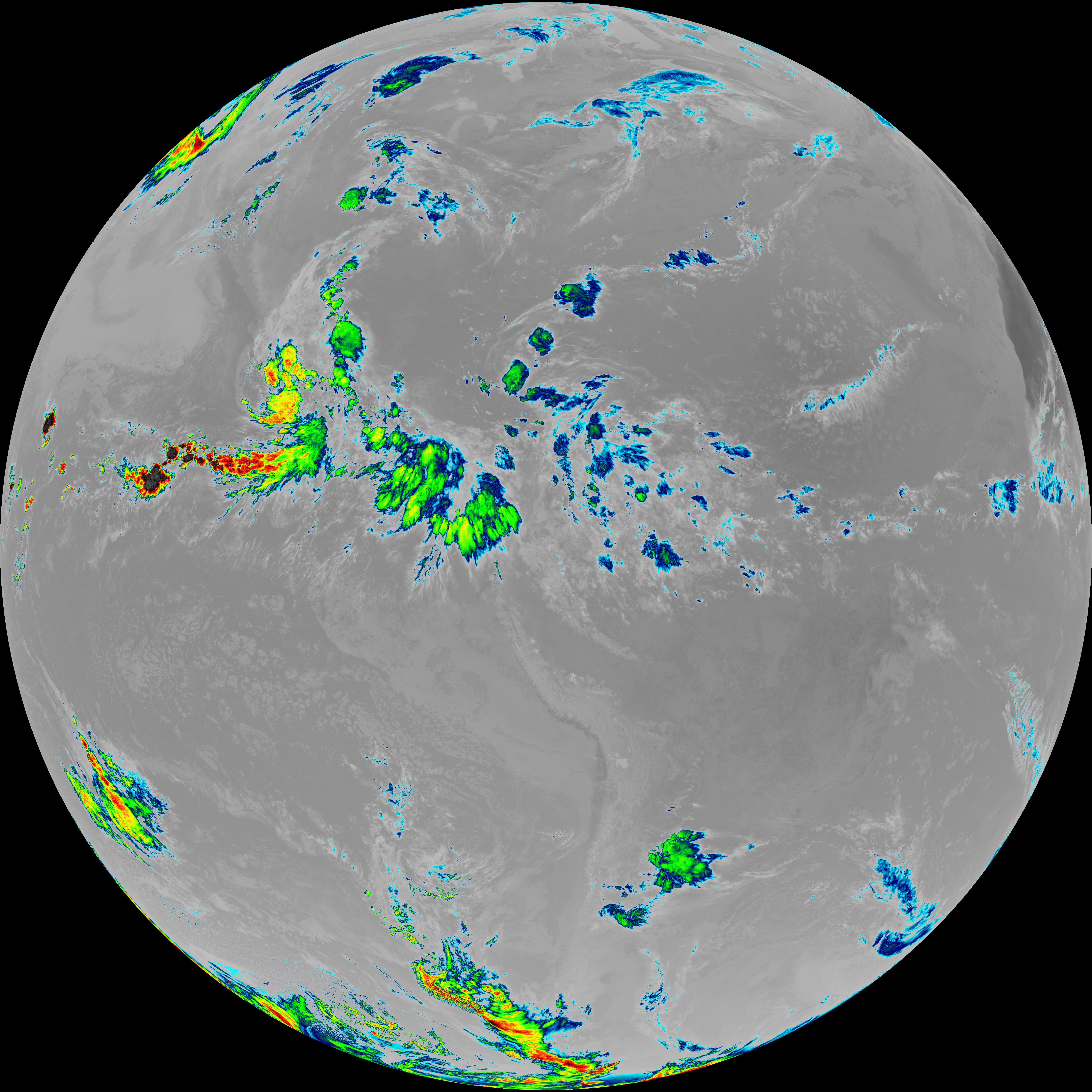
| abi_rgb_Dirty_Longwave_Window_map.png | 13644479 | 2026-Jun-07 13:30 |
| abi_rgb_Dirty_Longwave_Window.png | 13601181 | 2026-Jun-07 13:30 |
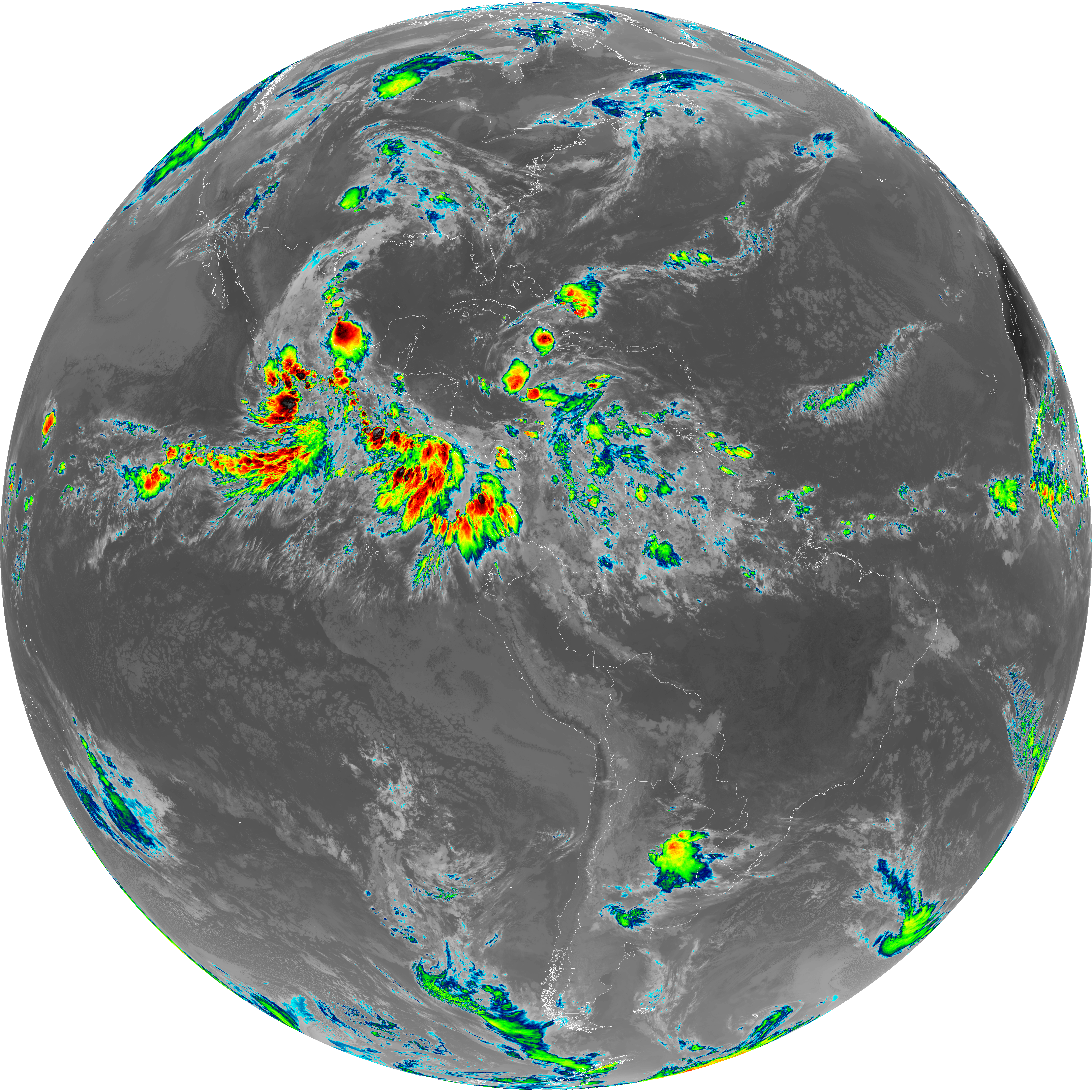
| abi_rgb_Dirty_Longwave_Window_-_CIRA_map.png | 12013493 | 2026-Jun-07 13:30 |
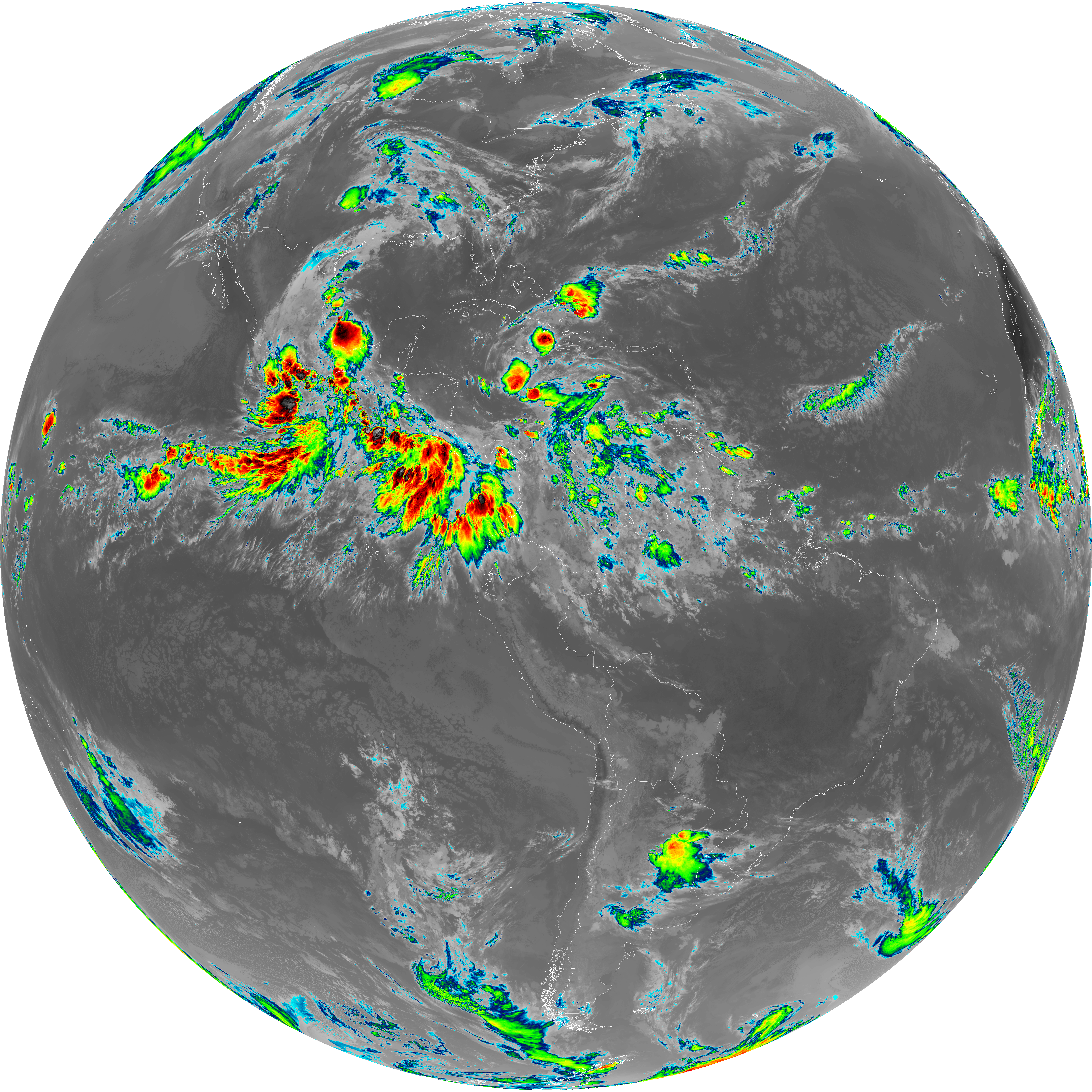
| abi_rgb_Dirty_Longwave_Window_-_CIRA.png | 11958471 | 2026-Jun-07 13:30 |
| G19_2_20260607T130021Z.png | 11632909 | 2026-Jun-07 13:20 |
| G19_14_20260607T130021Z.png | 10370783 | 2026-Jun-07 13:27 |
| G19_7_20260607T130021Z.png | 10313536 | 2026-Jun-07 13:13 |
| G19_13_20260607T130021Z.png | 10232410 | 2026-Jun-07 13:16 |
| G19_15_20260607T130021Z.png | 10102335 | 2026-Jun-07 13:29 |
| abi_rgb_Mid-level_Tropospheric_Water_Vapor_map.png | 8780201 | 2026-Jun-07 13:24 |
| abi_rgb_Mid-level_Tropospheric_Water_Vapor.png | 8679662 | 2026-Jun-07 13:24 |
| abi_rgb_Upper-Level_Tropospheric_Water_Vapor_map.png | 7605694 | 2026-Jun-07 13:22 |
| abi_rgb_Upper-Level_Tropospheric_Water_Vapor.png | 7494760 | 2026-Jun-07 13:22 |
| G19_9_20260607T130021Z.png | 6481424 | 2026-Jun-07 13:24 |
| G19_8_20260607T130021Z.png | 5633999 | 2026-Jun-07 13:22 |