| Parent directory/ | - | - |
| abi_rgb_Upper-Level_Tropospheric_Water_Vapor_map.png | 7624187 | 2026-Jun-07 13:52 |
| abi_rgb_Upper-Level_Tropospheric_Water_Vapor.png | 7514058 | 2026-Jun-07 13:52 |
| abi_rgb_Shortwave_Window_Band_map.png | 14155900 | 2026-Jun-07 13:43 |
| abi_rgb_Shortwave_Window_Band.png | 14097694 | 2026-Jun-07 13:43 |
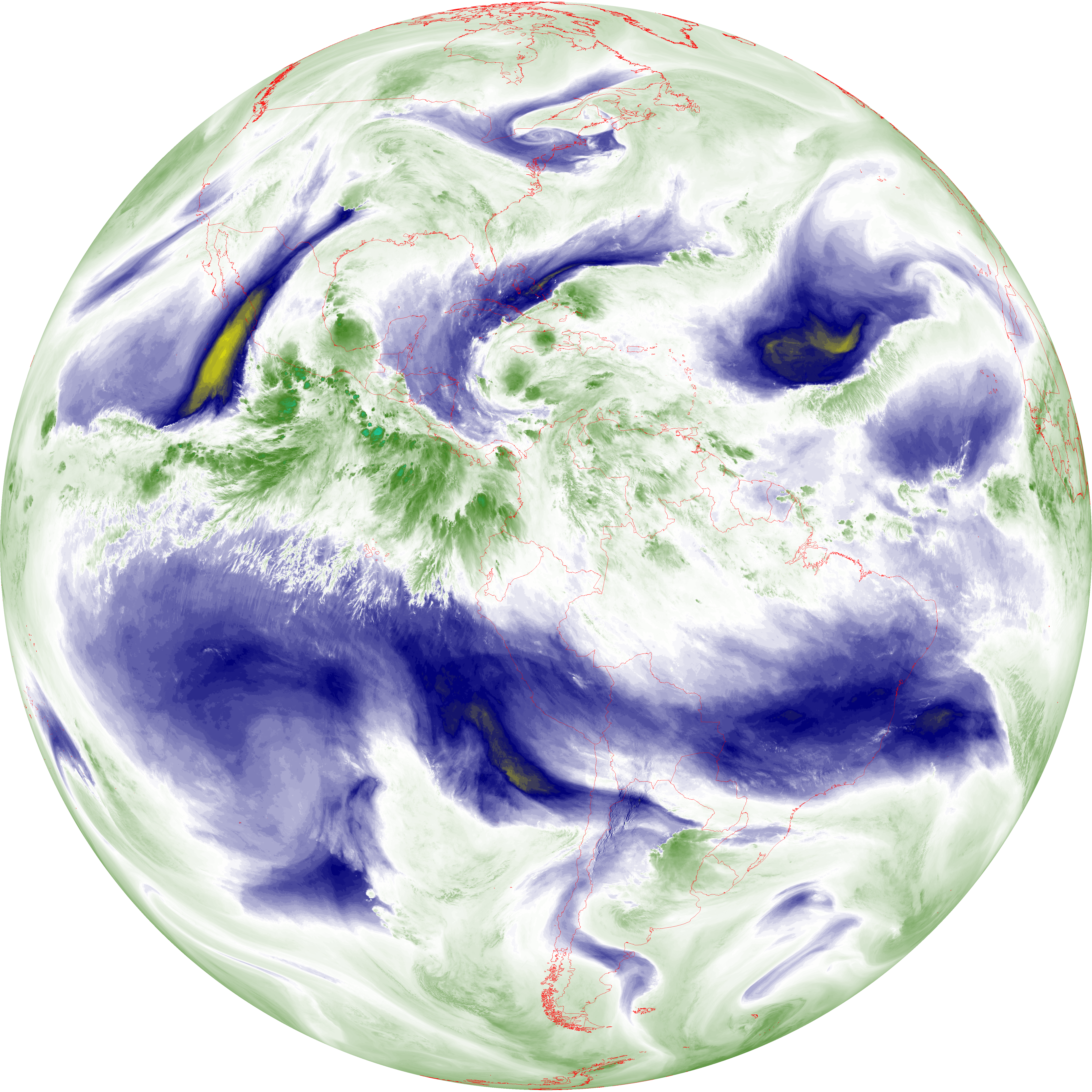
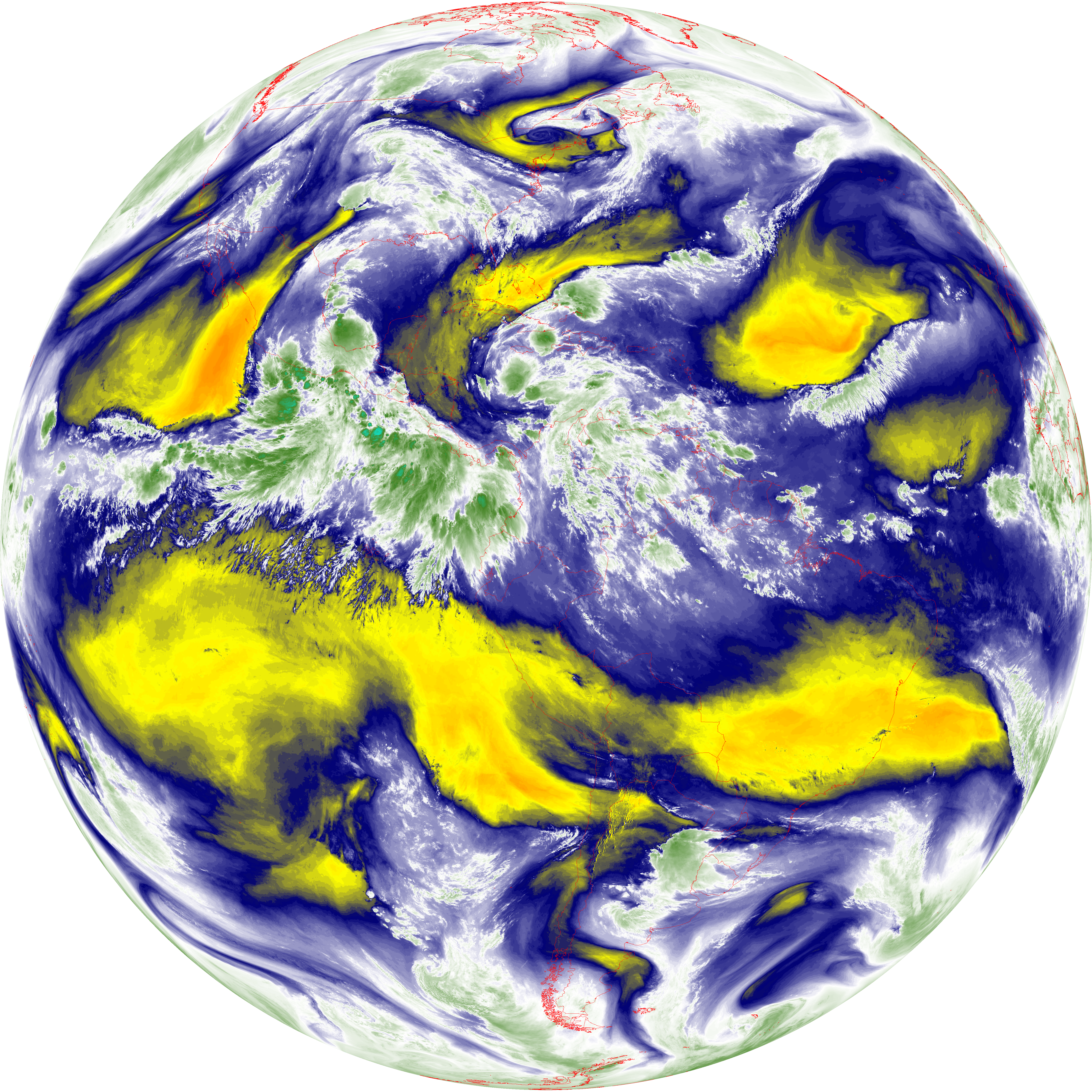
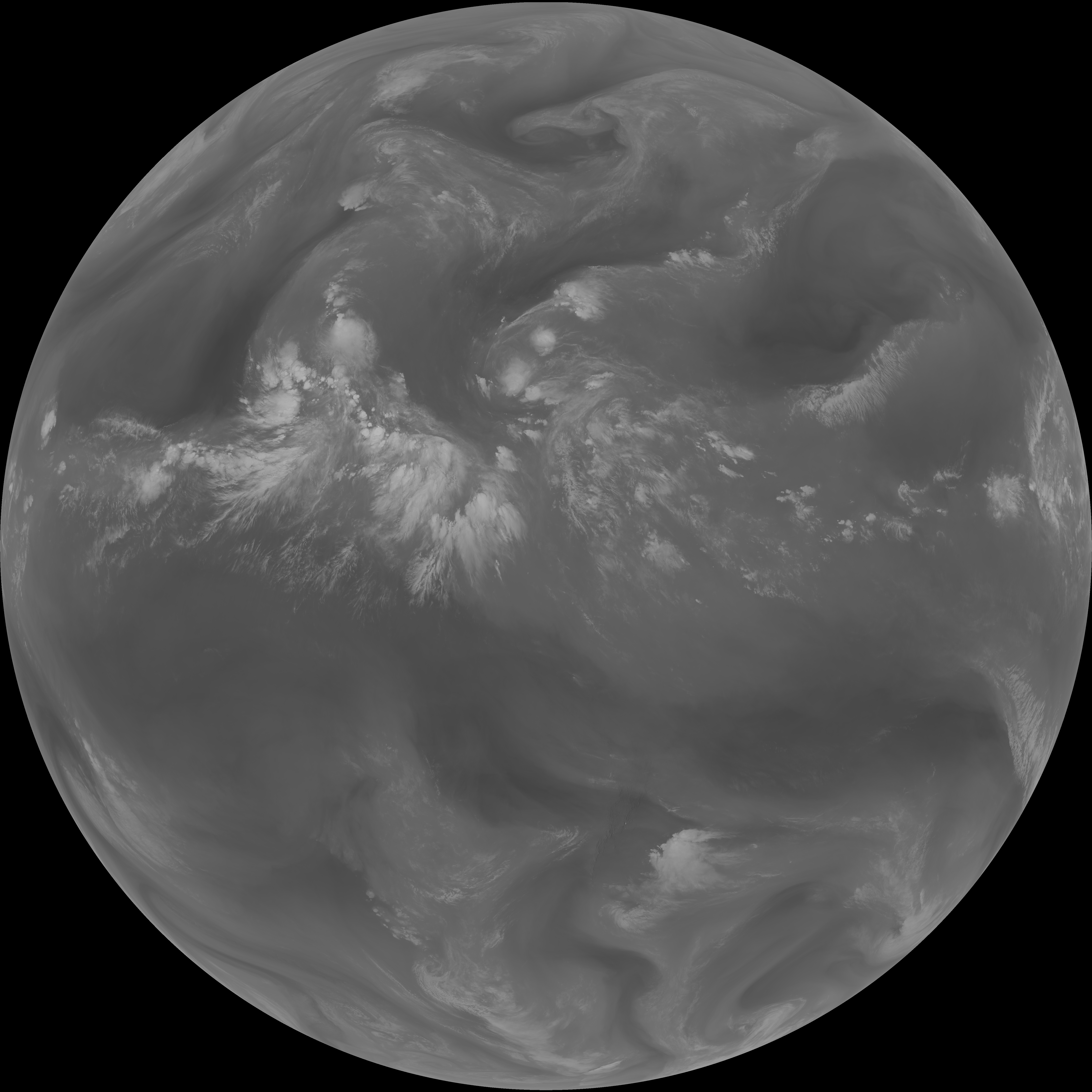
| abi_rgb_Mid-level_Tropospheric_Water_Vapor_map.png | 8804944 | 2026-Jun-07 13:54 |
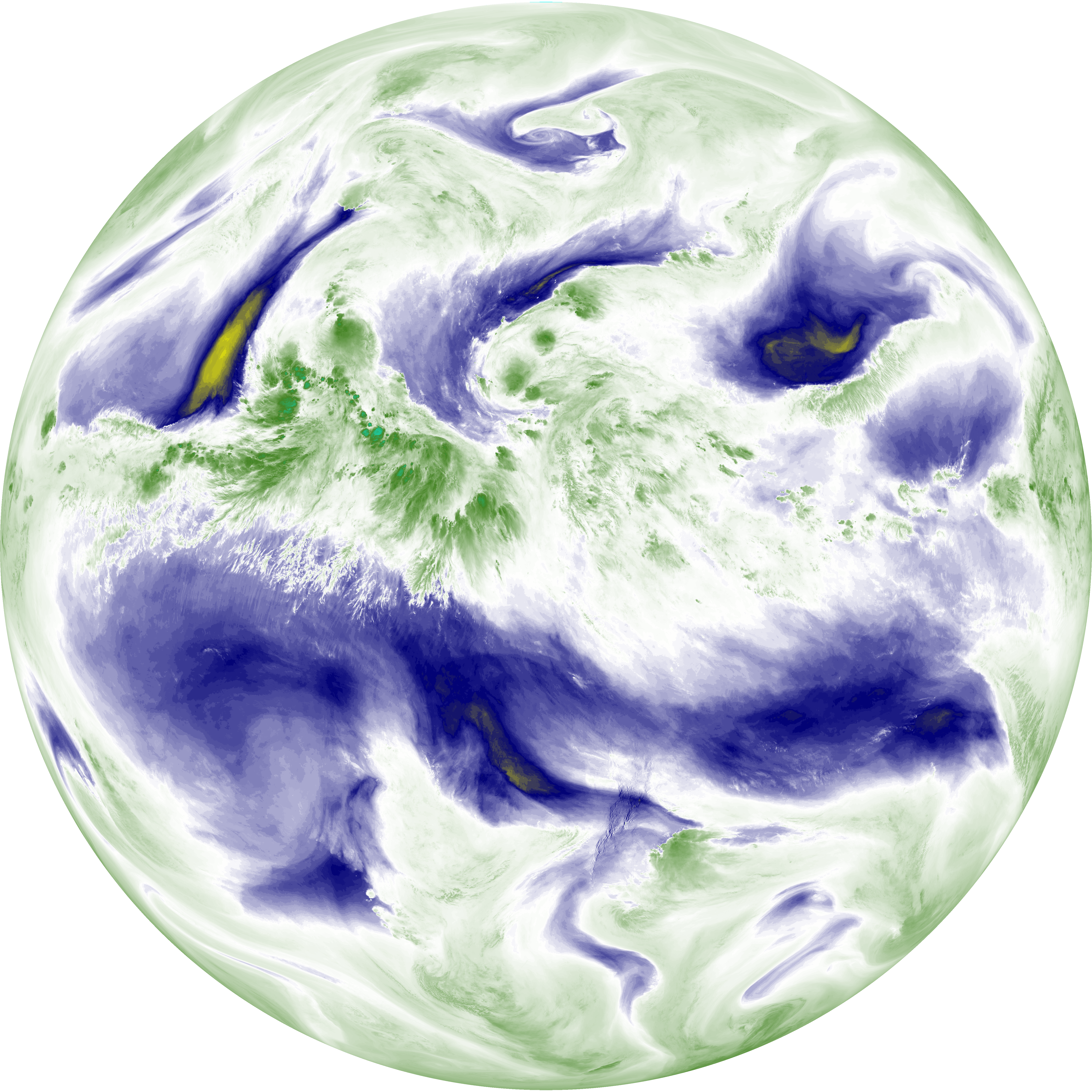
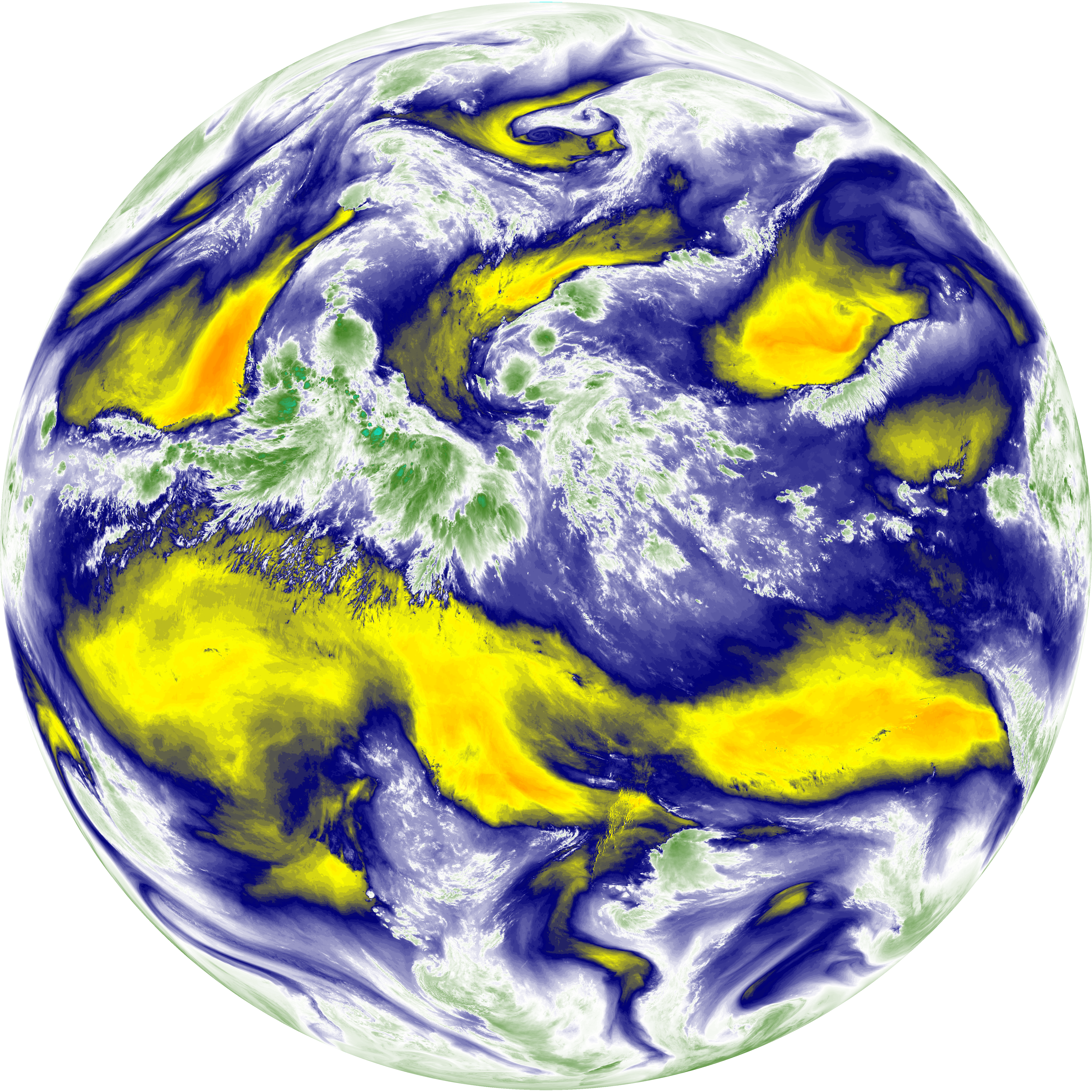
| abi_rgb_Mid-level_Tropospheric_Water_Vapor.png | 8703977 | 2026-Jun-07 13:54 |
| abi_rgb_Infrared_Longwave_Window_Band_map.png | 14039559 | 2026-Jun-07 13:57 |
| abi_rgb_Infrared_Longwave_Window_Band.png | 14000542 | 2026-Jun-07 13:57 |
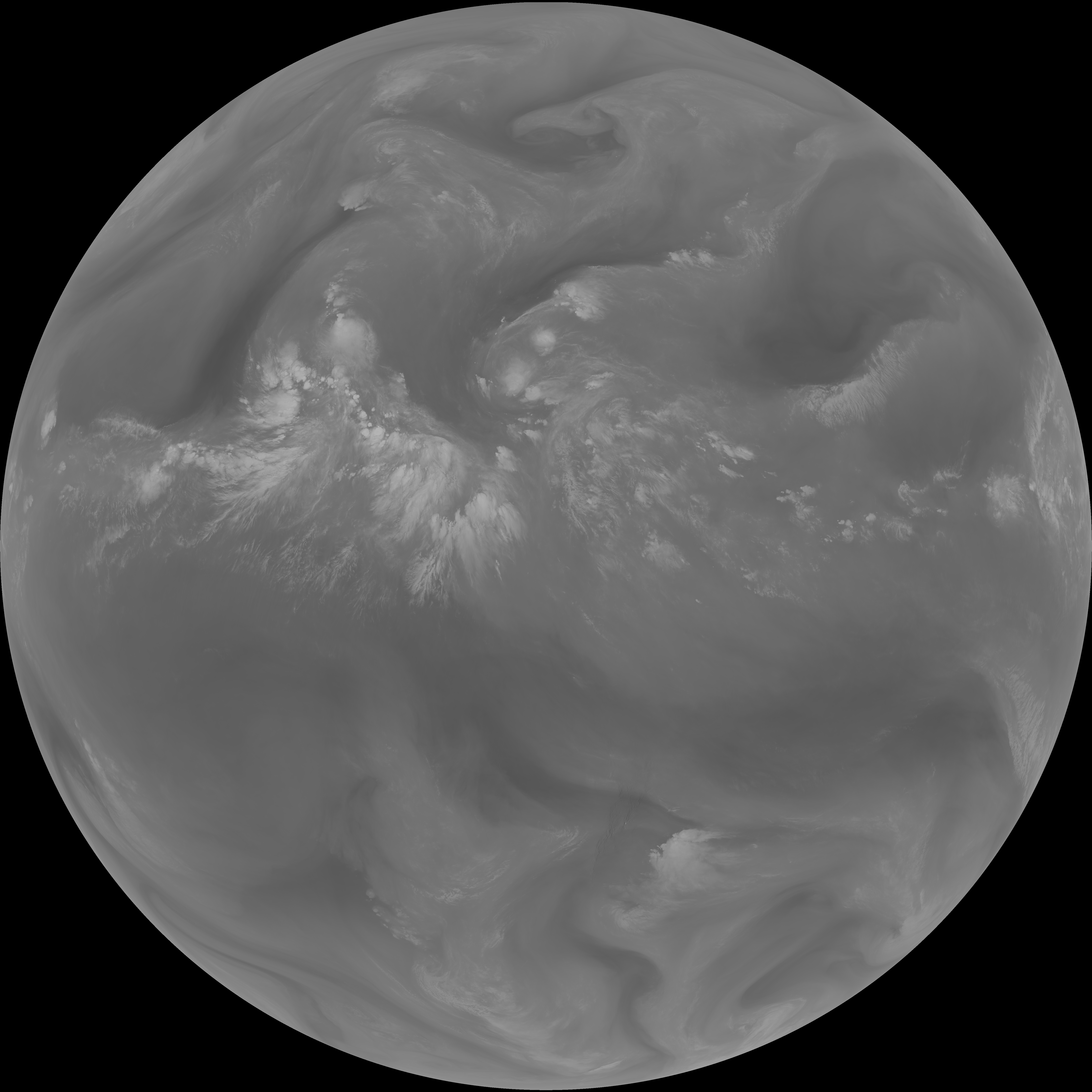
| abi_rgb_Dirty_Longwave_Window_map.png | 13722274 | 2026-Jun-07 14:00 |
| abi_rgb_Dirty_Longwave_Window_-_CIRA_map.png | 12091273 | 2026-Jun-07 14:00 |
| abi_rgb_Dirty_Longwave_Window_-_CIRA.png | 12036993 | 2026-Jun-07 14:00 |
| abi_rgb_Dirty_Longwave_Window.png | 13680073 | 2026-Jun-07 14:00 |
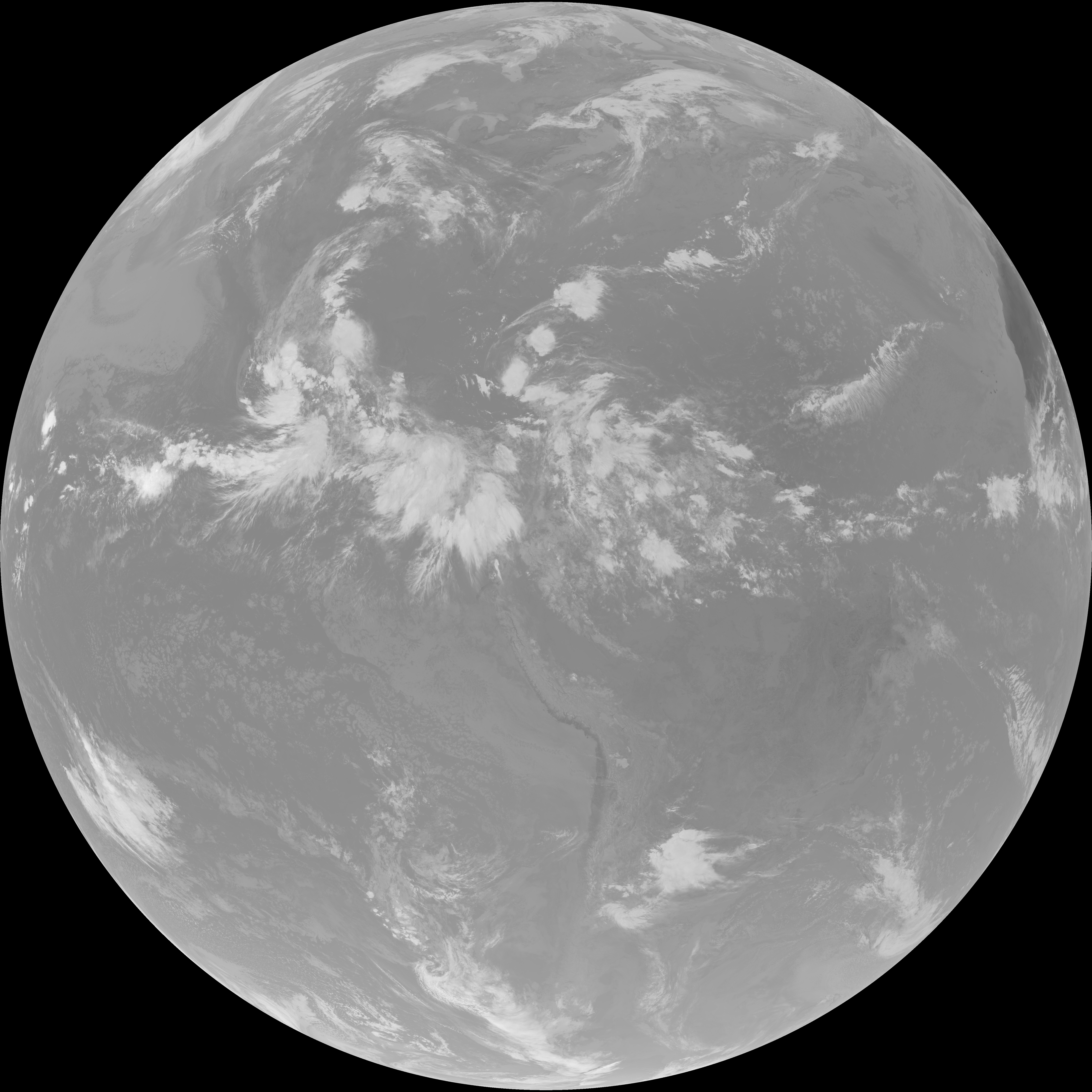
| abi_rgb_Clean_Longwave_IR_Window_Band_map.png | 13875960 | 2026-Jun-07 13:46 |
| abi_rgb_Clean_Longwave_IR_Window_Band.png | 13836855 | 2026-Jun-07 13:46 |
| G19_9_20260607T133021Z.png | 6499018 | 2026-Jun-07 13:54 |
| G19_8_20260607T133021Z.png | 5648731 | 2026-Jun-07 13:52 |
| G19_7_20260607T133021Z.png | 10280244 | 2026-Jun-07 13:43 |
| G19_2_20260607T133021Z.png | 12697635 | 2026-Jun-07 13:50 |
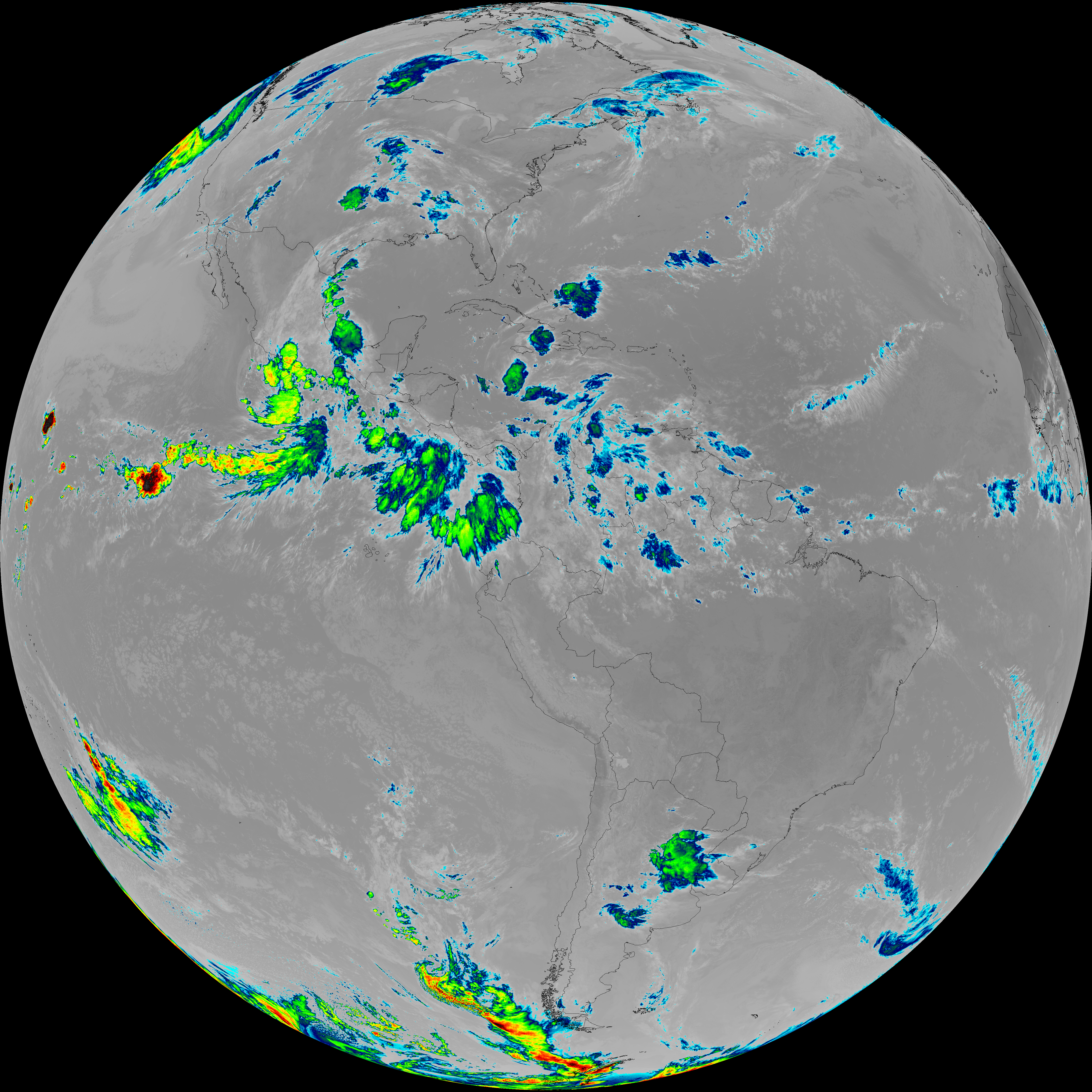
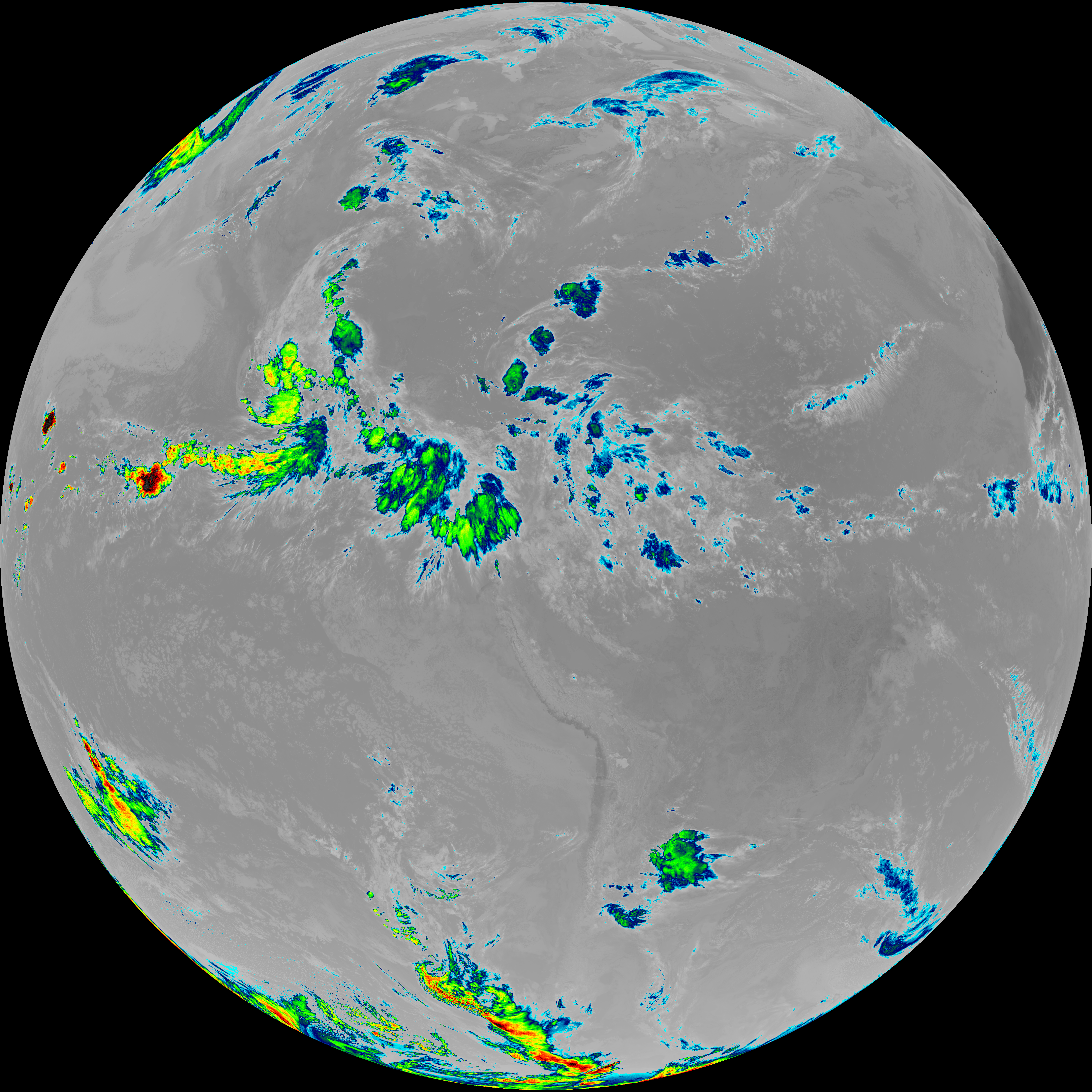
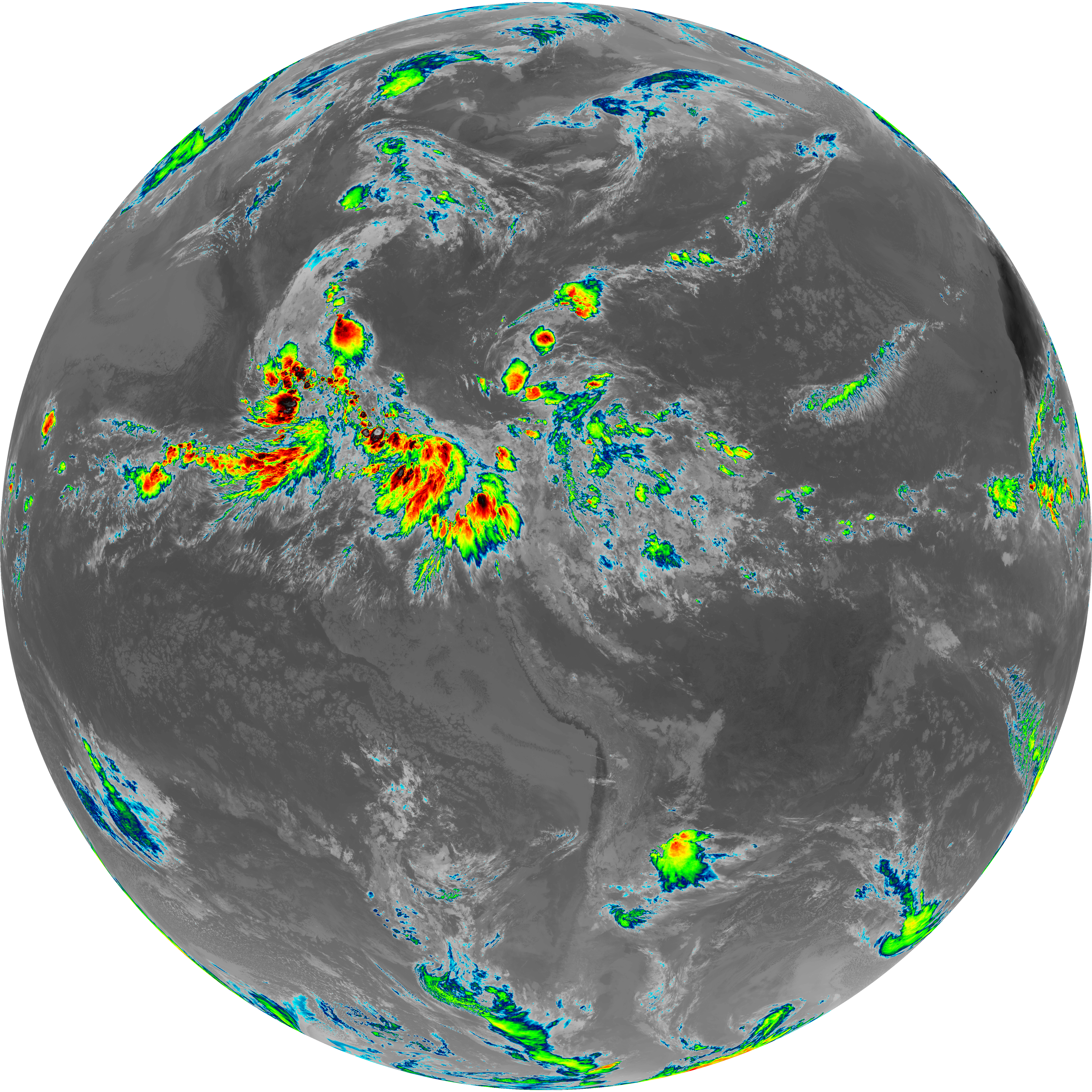
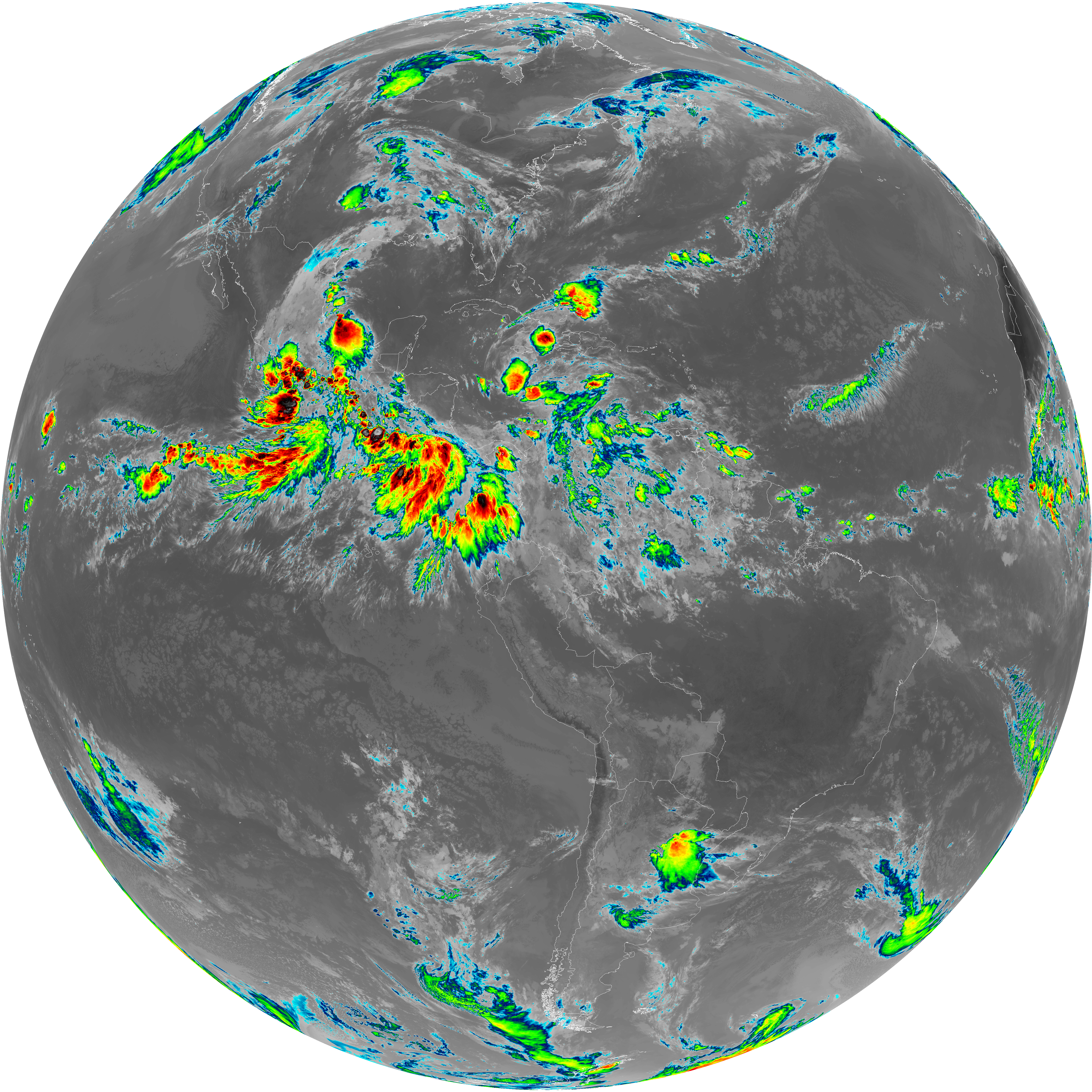
| G19_15_20260607T133021Z.png | 10162208 | 2026-Jun-07 14:00 |
| G19_14_20260607T133021Z.png | 10440175 | 2026-Jun-07 13:57 |
| G19_13_20260607T133021Z.png | 10302724 | 2026-Jun-07 13:46 |