| Parent directory/ | - | - |
| G19_7_20260607T140021Z.png | 10238092 | 2026-Jun-07 14:13 |
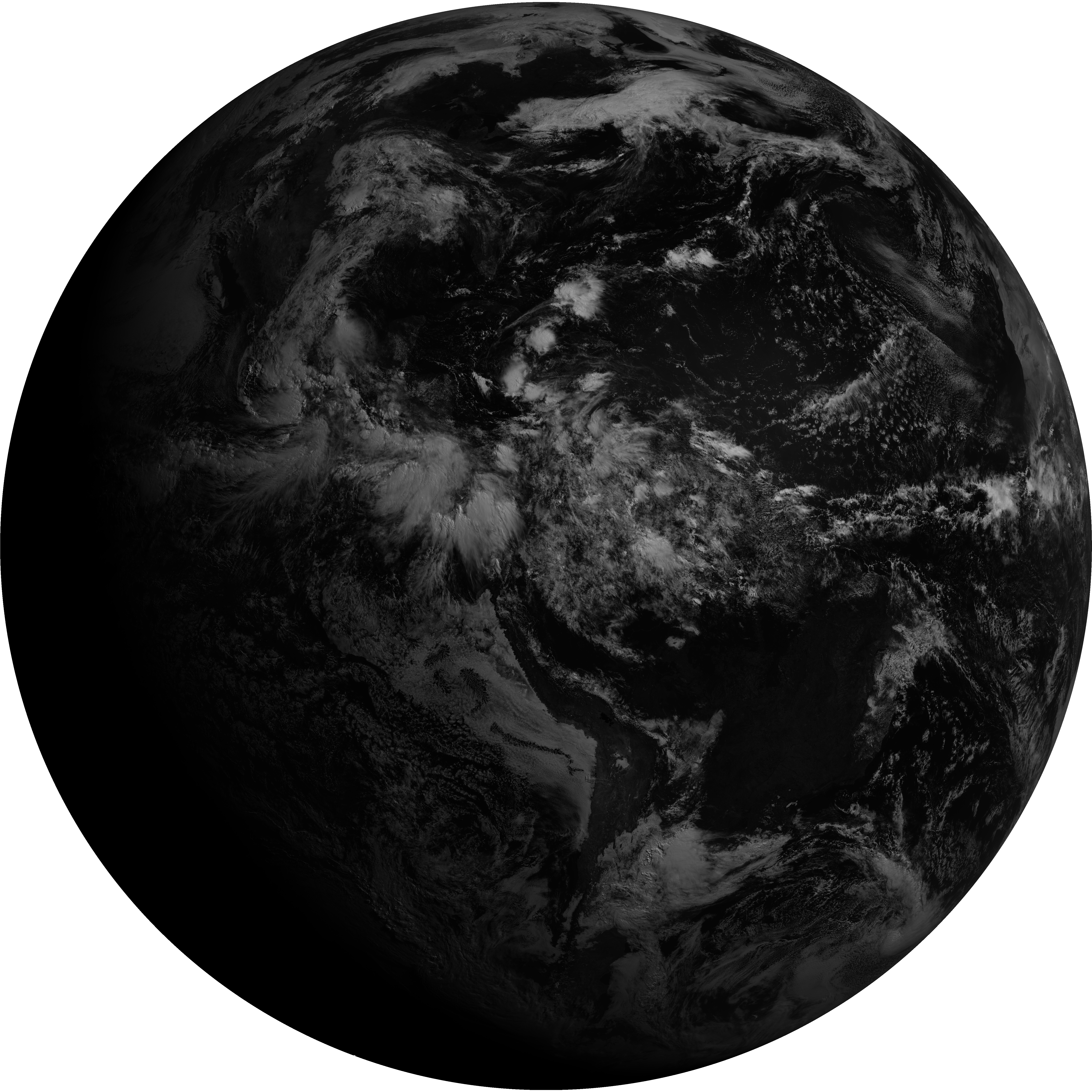
| abi_rgb_Shortwave_Window_Band.png | 14040266 | 2026-Jun-07 14:13 |
| abi_rgb_Shortwave_Window_Band_map.png | 14096789 | 2026-Jun-07 14:13 |
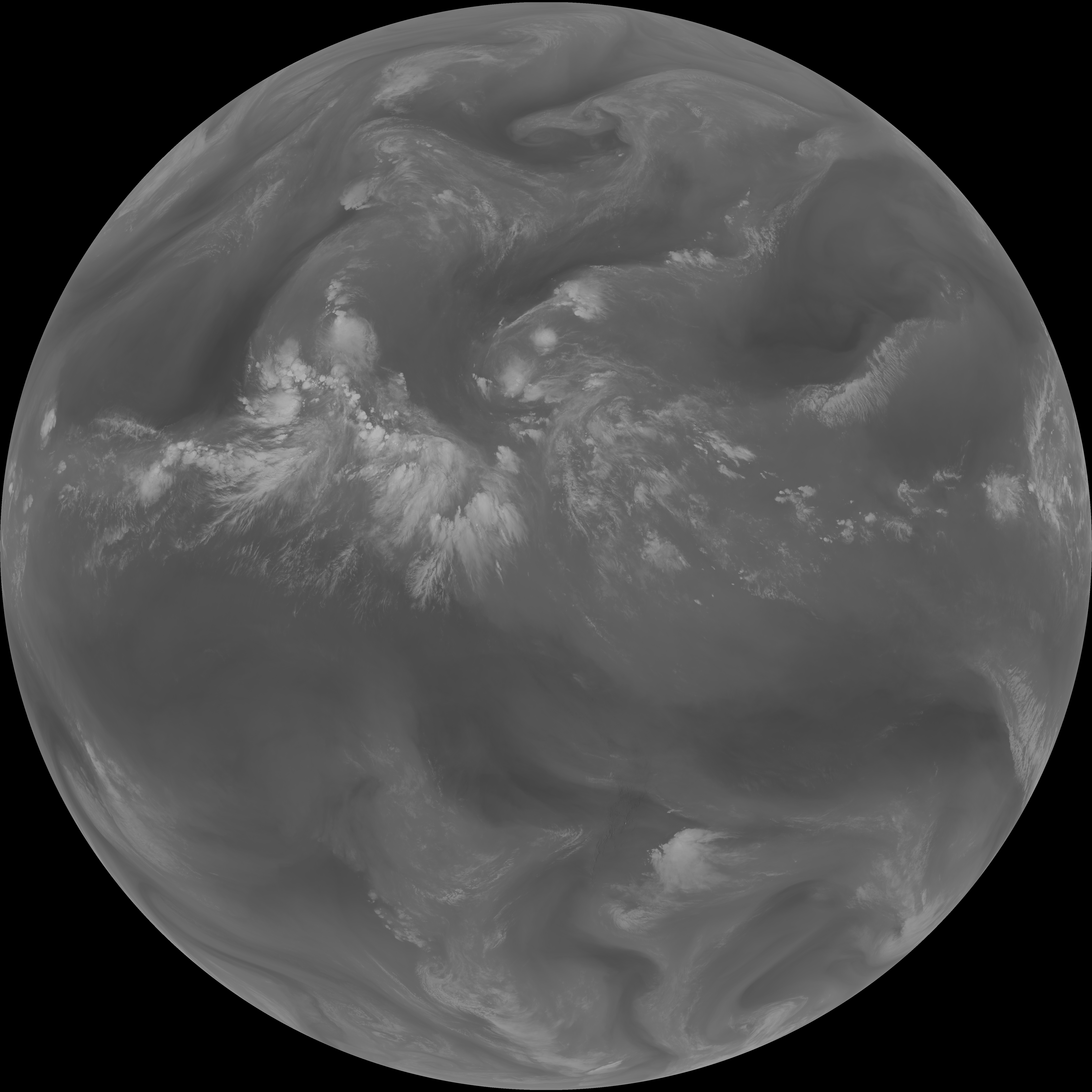
| G19_13_20260607T140021Z.png | 10389341 | 2026-Jun-07 14:16 |
| abi_rgb_Clean_Longwave_IR_Window_Band.png | 13945729 | 2026-Jun-07 14:16 |
| abi_rgb_Clean_Longwave_IR_Window_Band_map.png | 13983226 | 2026-Jun-07 14:16 |
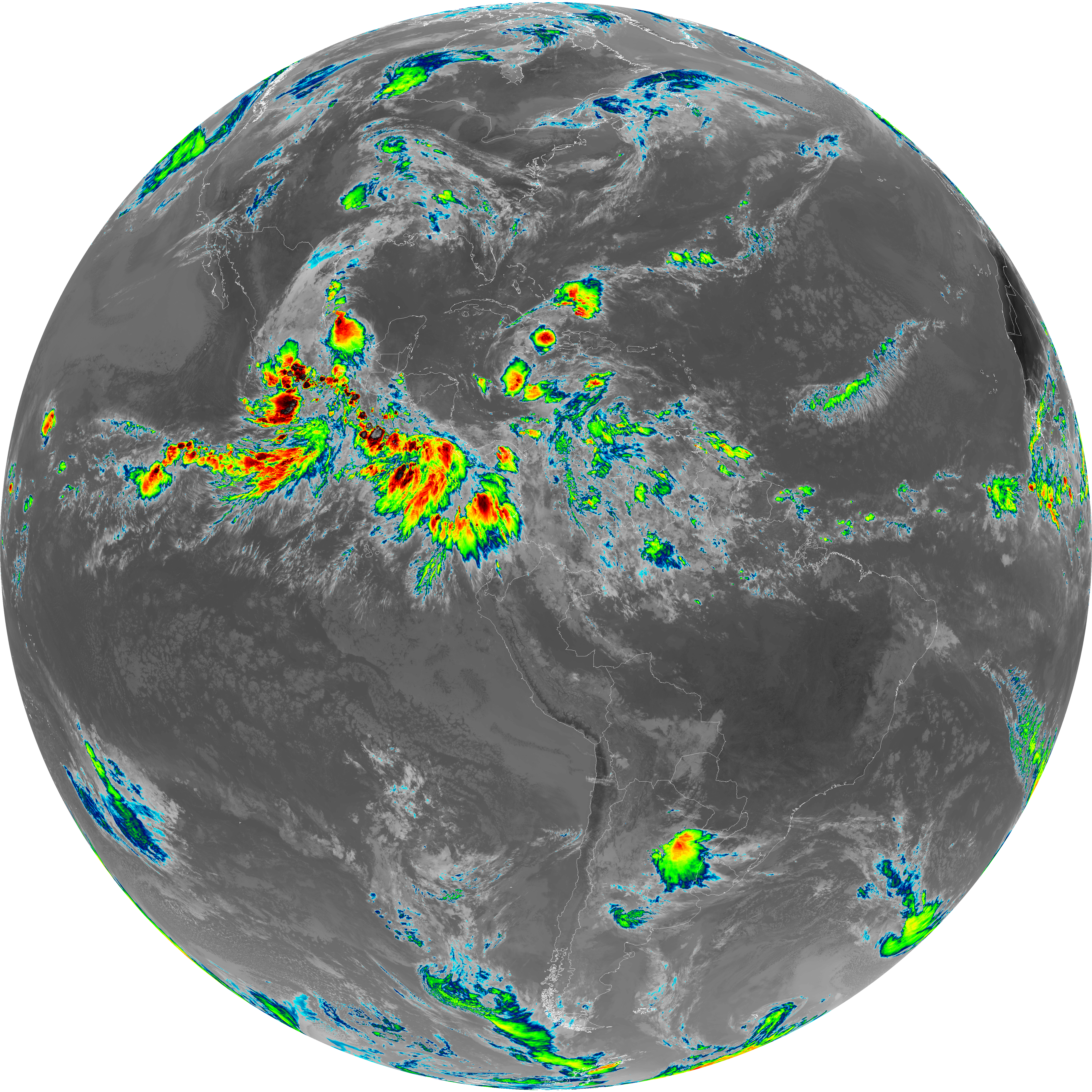
| G19_2_20260607T140021Z.png | 13720867 | 2026-Jun-07 14:21 |
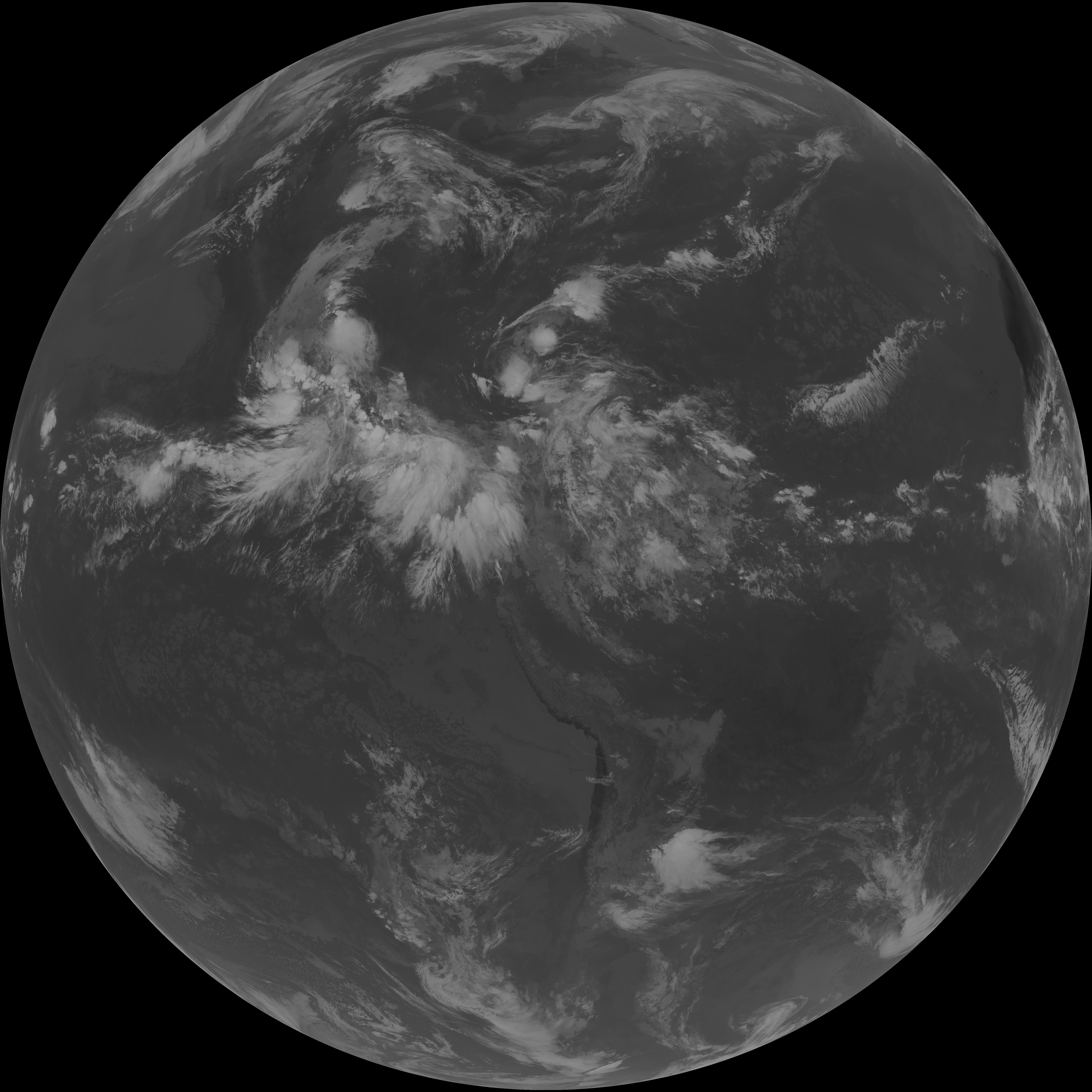
| G19_8_20260607T140021Z.png | 5666025 | 2026-Jun-07 14:23 |
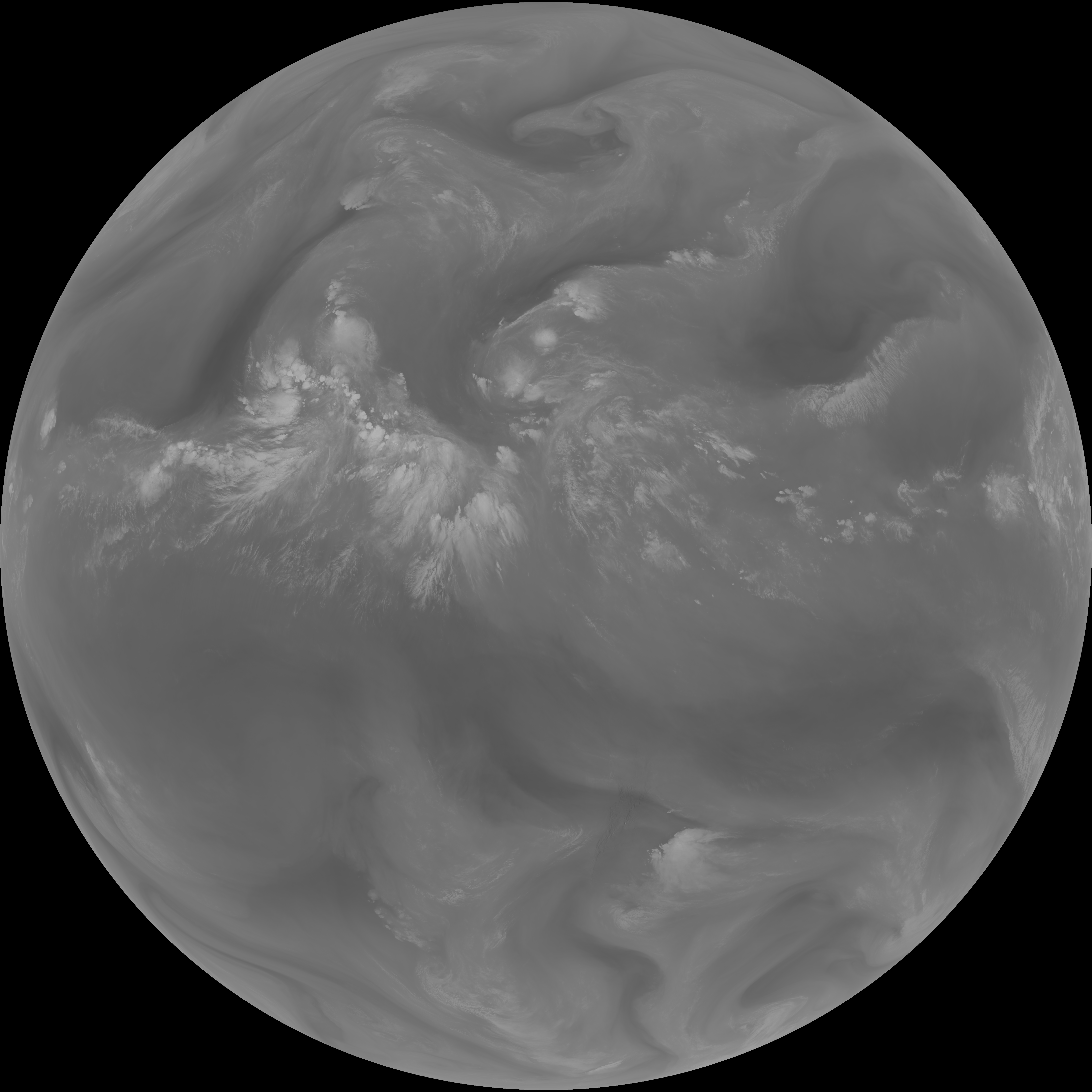
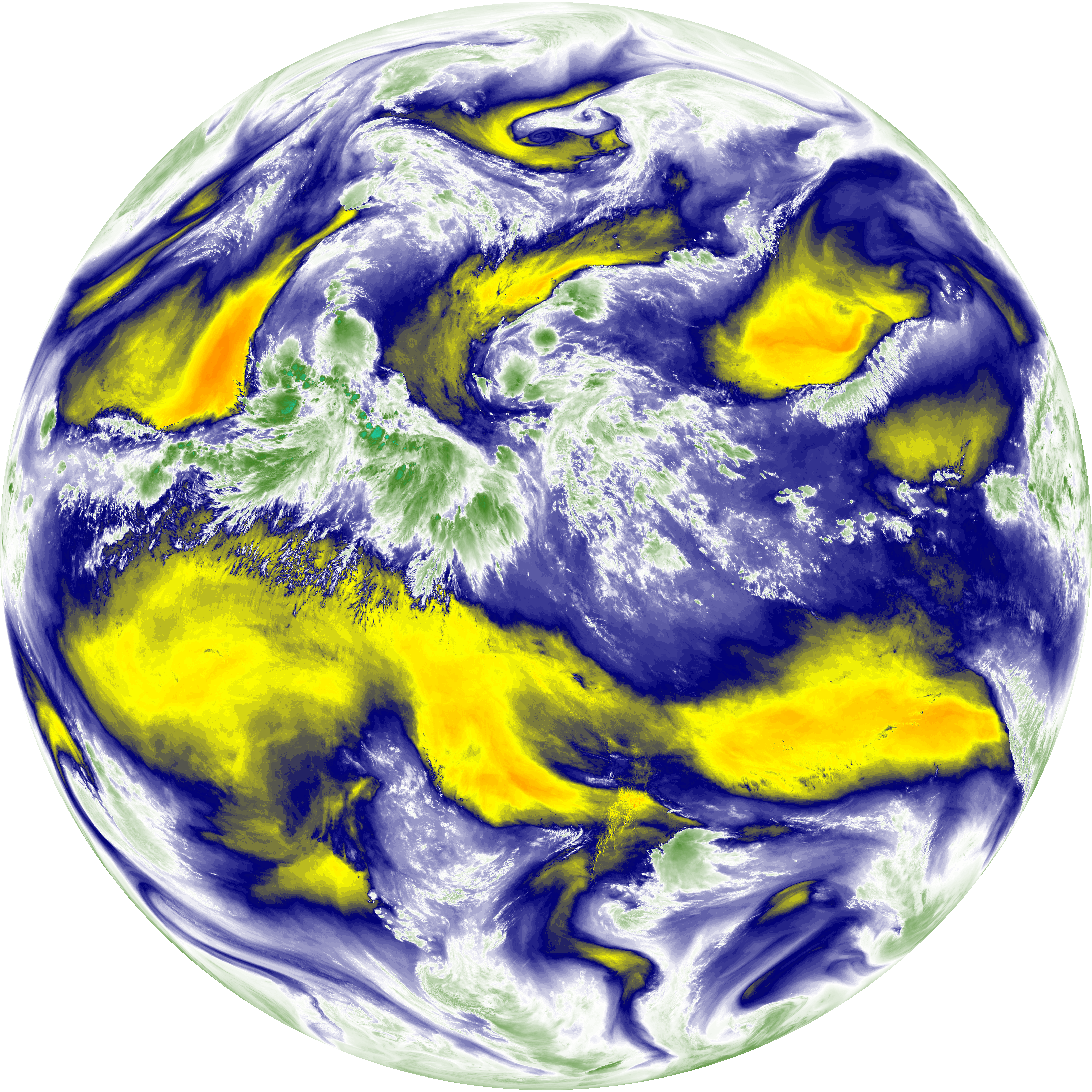
| abi_rgb_Upper-Level_Tropospheric_Water_Vapor.png | 7545269 | 2026-Jun-07 14:23 |
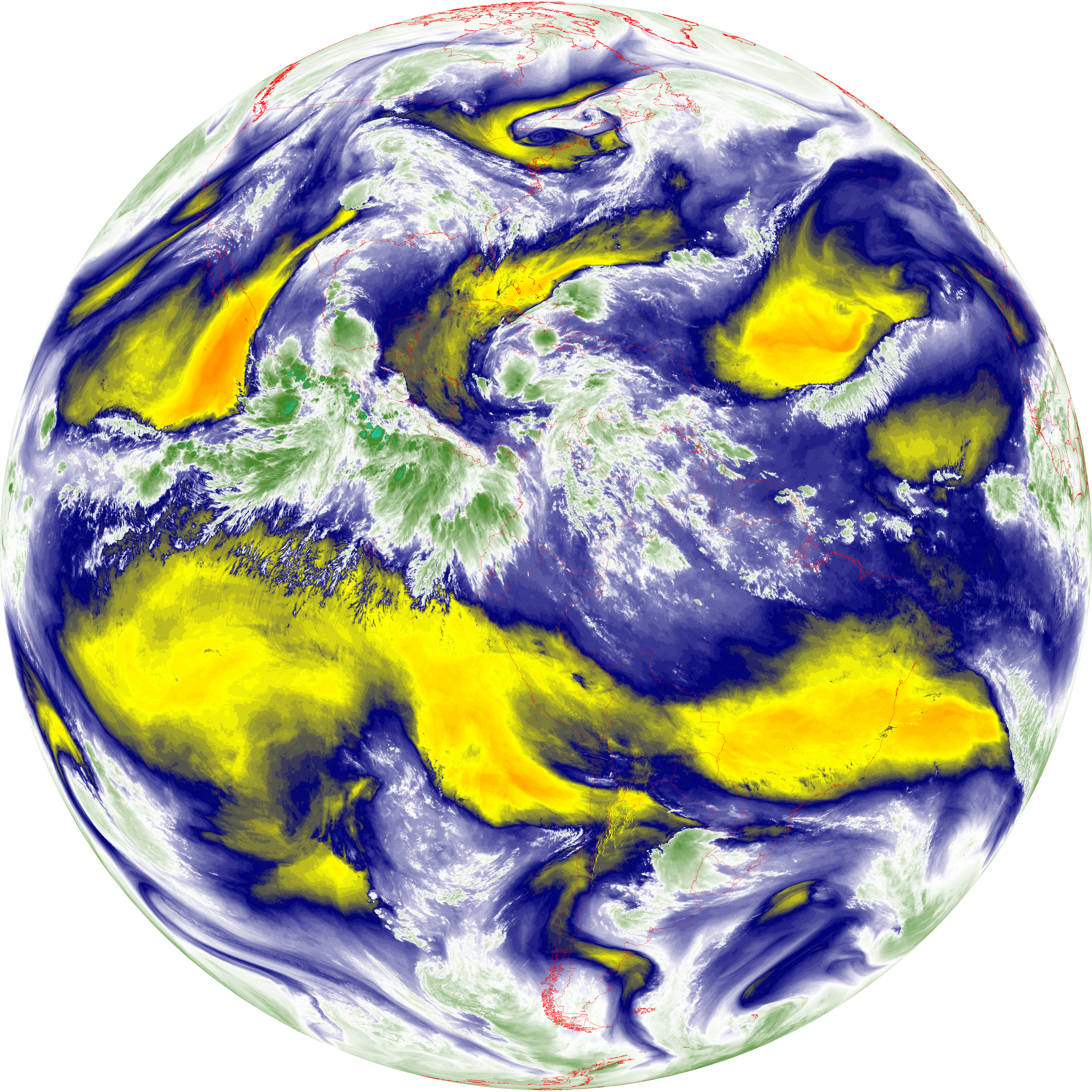
| abi_rgb_Upper-Level_Tropospheric_Water_Vapor_map.png | 7656601 | 2026-Jun-07 14:23 |
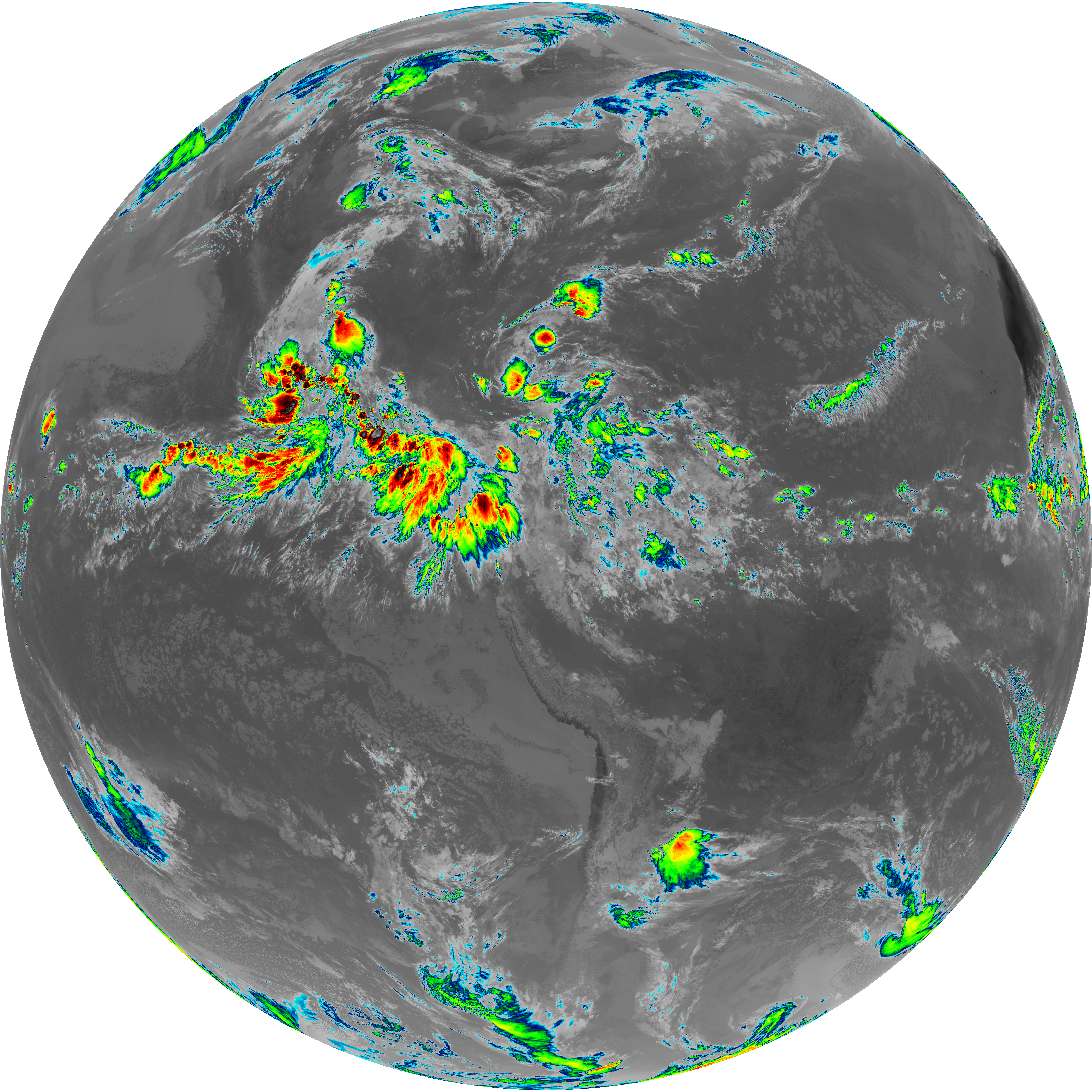
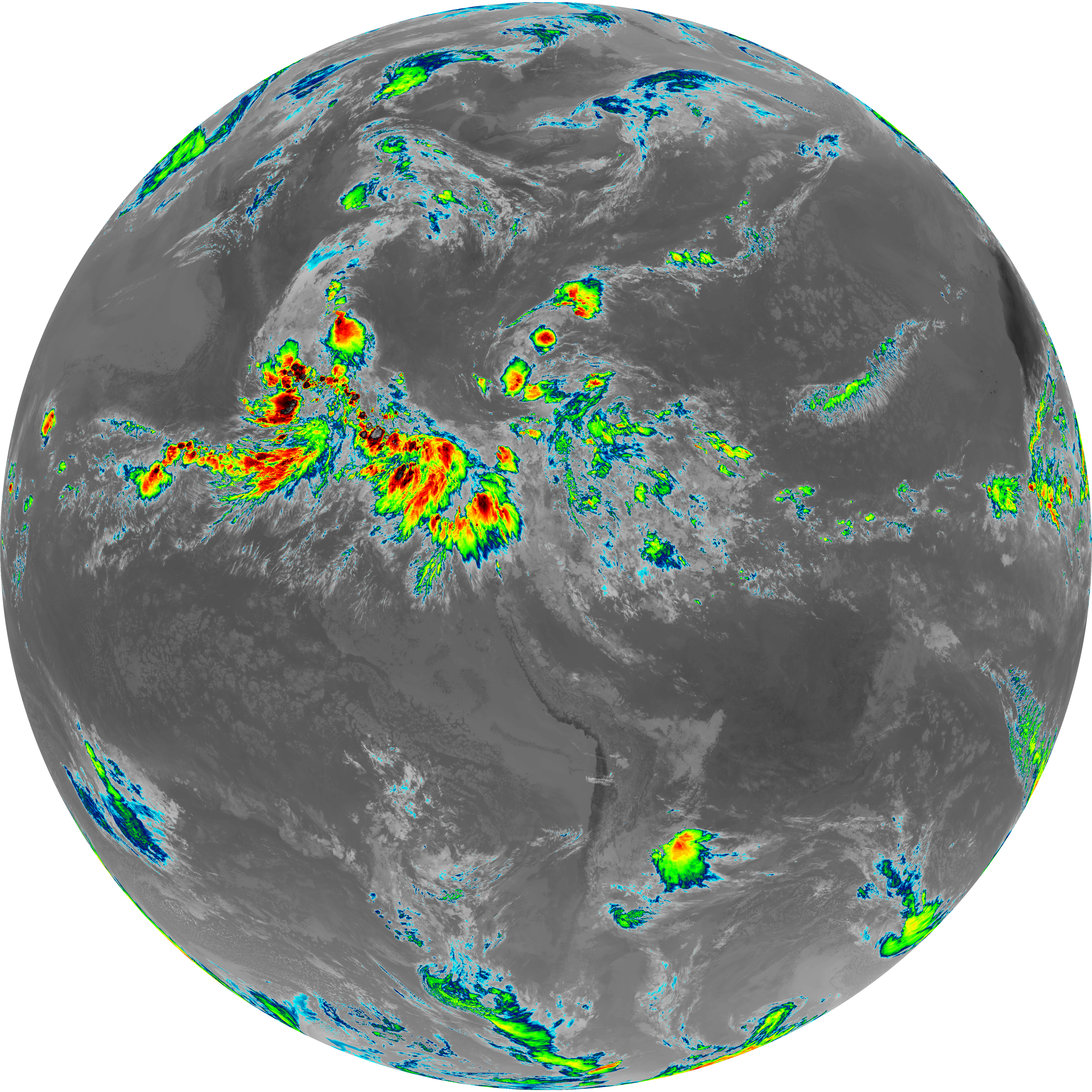
| G19_9_20260607T140021Z.png | 6519585 | 2026-Jun-07 14:25 |
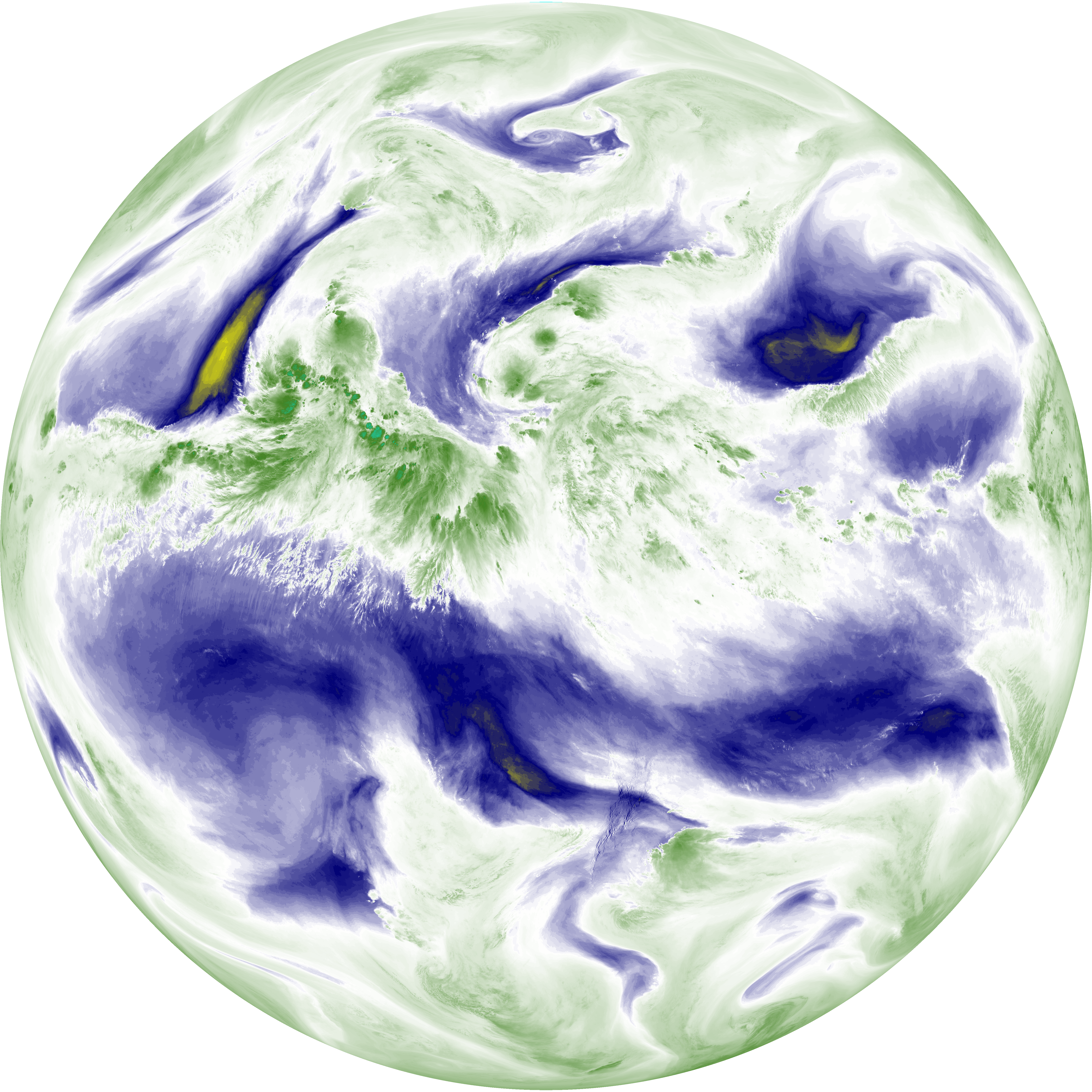
| abi_rgb_Mid-level_Tropospheric_Water_Vapor.png | 8734727 | 2026-Jun-07 14:25 |
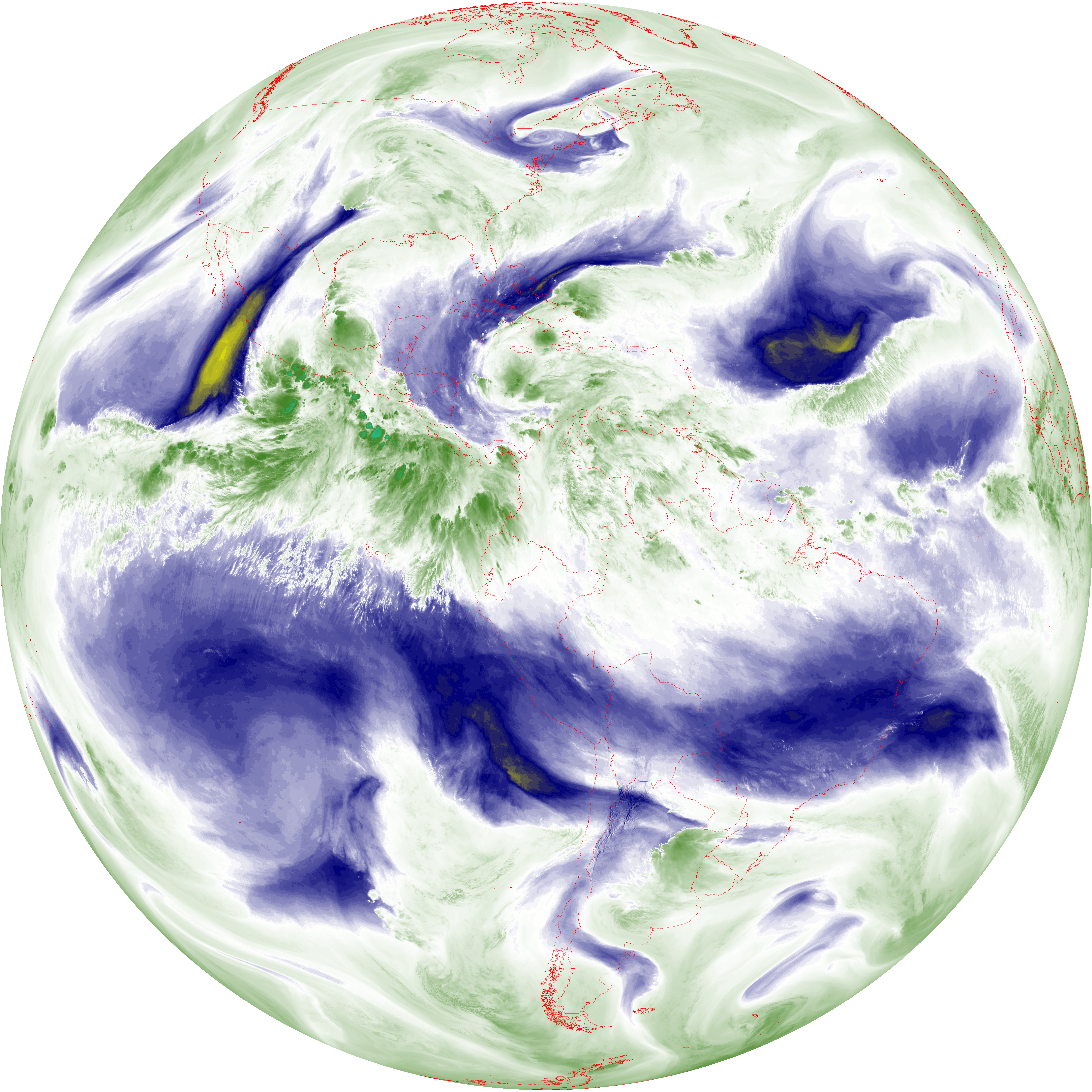
| abi_rgb_Mid-level_Tropospheric_Water_Vapor_map.png | 8834001 | 2026-Jun-07 14:25 |
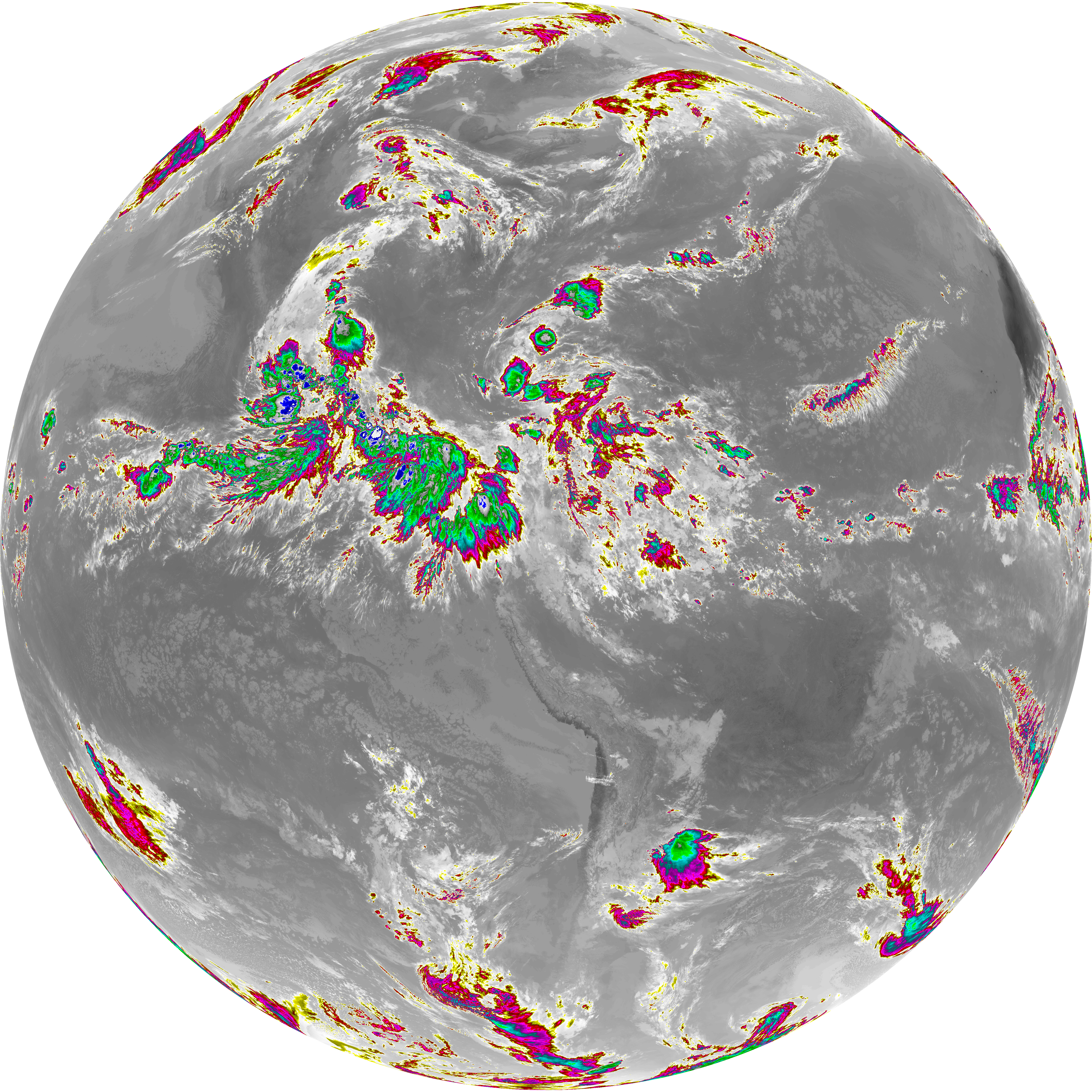
| G19_14_20260607T140021Z.png | 10521220 | 2026-Jun-07 14:28 |
| abi_rgb_Infrared_Longwave_Window_Band.png | 14101232 | 2026-Jun-07 14:28 |
| abi_rgb_Infrared_Longwave_Window_Band_map.png | 14138172 | 2026-Jun-07 14:28 |
| G19_15_20260607T140021Z.png | 10240127 | 2026-Jun-07 14:30 |
| abi_rgb_Dirty_Longwave_Window.png | 13776629 | 2026-Jun-07 14:31 |
| abi_rgb_Dirty_Longwave_Window_map.png | 13817175 | 2026-Jun-07 14:31 |
| abi_rgb_Dirty_Longwave_Window_-_CIRA.png | 12132606 | 2026-Jun-07 14:31 |
| abi_rgb_Dirty_Longwave_Window_-_CIRA_map.png | 12186068 | 2026-Jun-07 14:31 |