| Parent directory/ | - | - |
| G19_7_20260607T143021Z.png | 10203584 | 2026-Jun-07 14:43 |
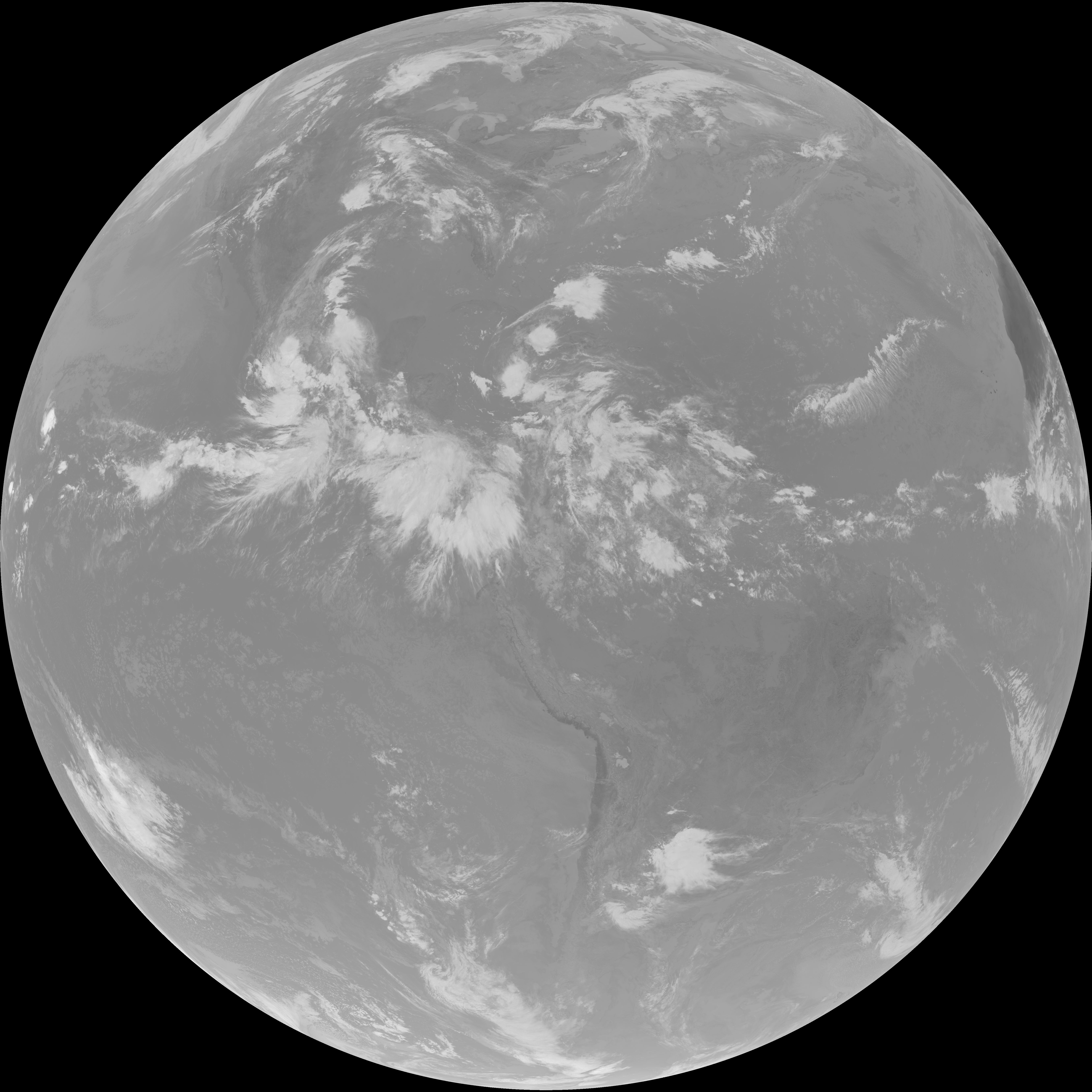
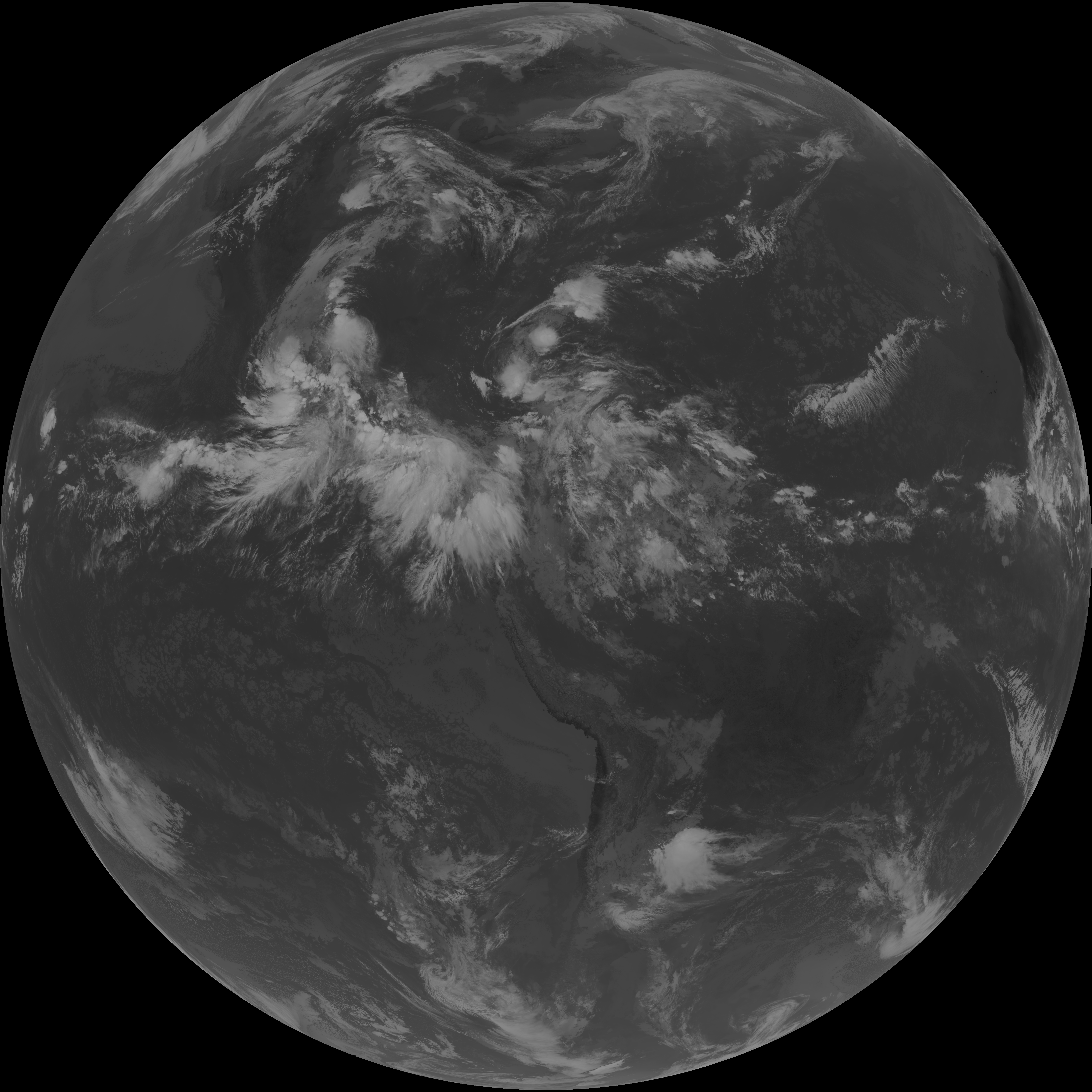
| abi_rgb_Shortwave_Window_Band.png | 13971778 | 2026-Jun-07 14:43 |
| abi_rgb_Shortwave_Window_Band_map.png | 14024020 | 2026-Jun-07 14:43 |
| G19_13_20260607T143021Z.png | 10483586 | 2026-Jun-07 14:46 |
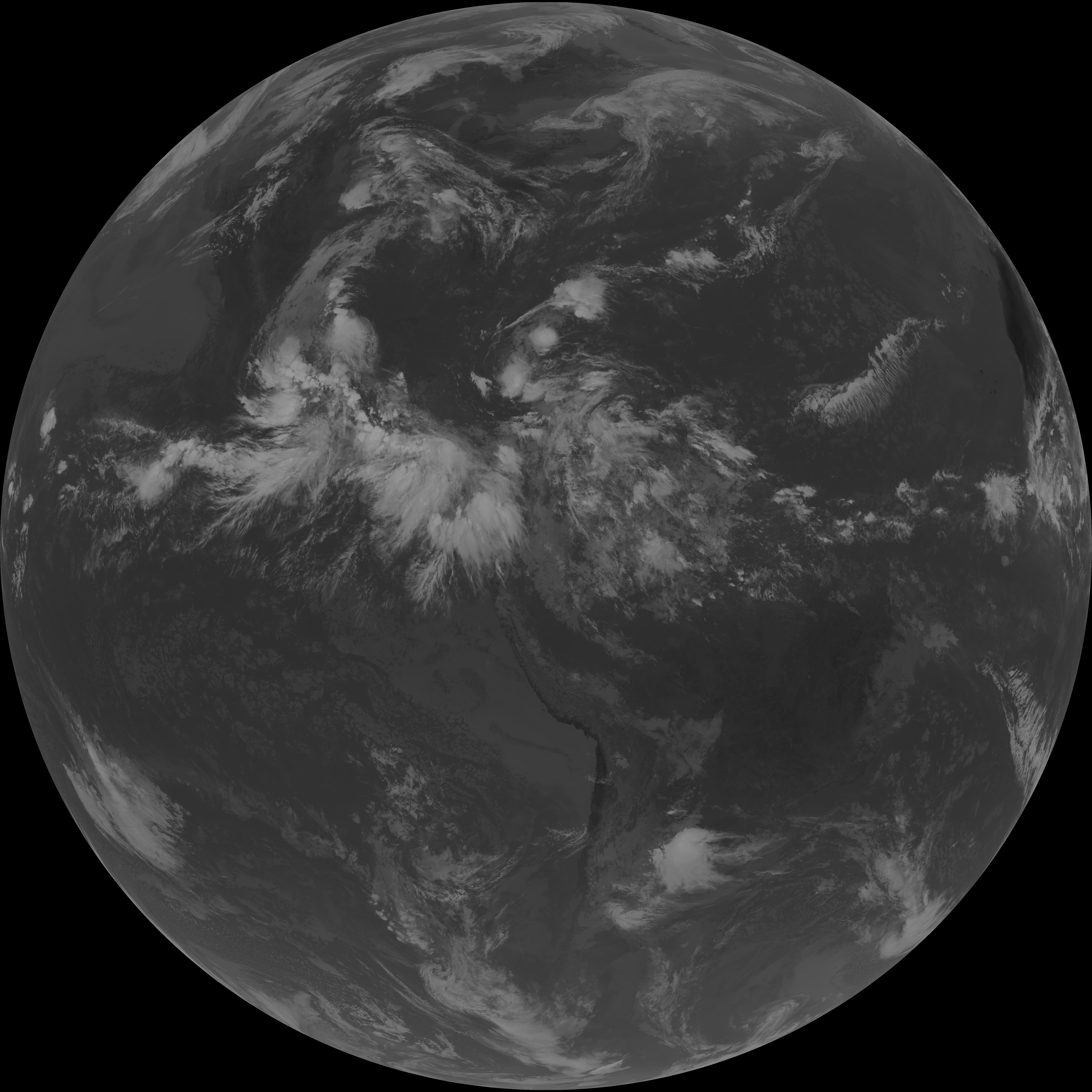
| abi_rgb_Clean_Longwave_IR_Window_Band.png | 14055259 | 2026-Jun-07 14:46 |
| abi_rgb_Clean_Longwave_IR_Window_Band_map.png | 14090026 | 2026-Jun-07 14:46 |
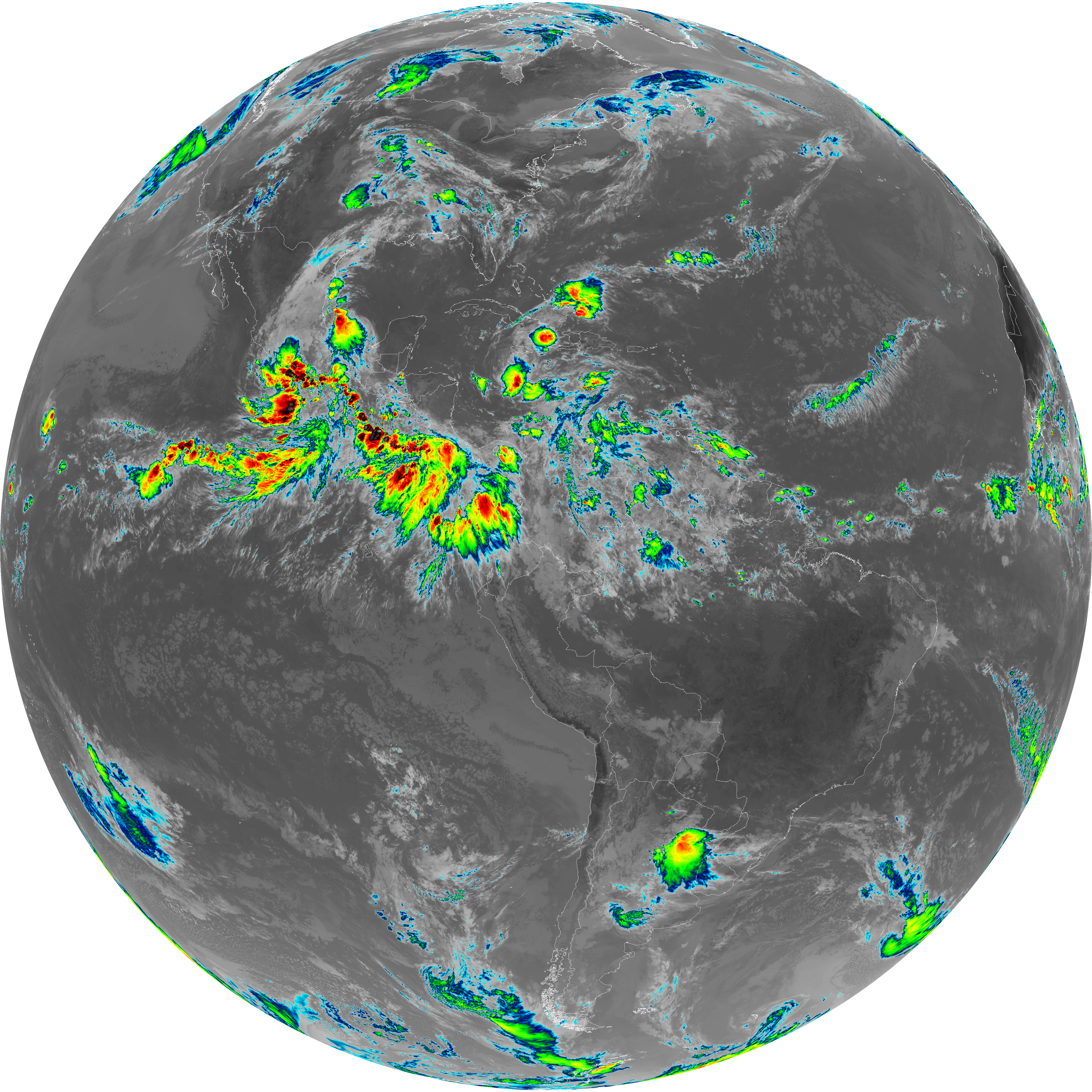
| G19_2_20260607T143021Z.png | 14694775 | 2026-Jun-07 14:51 |
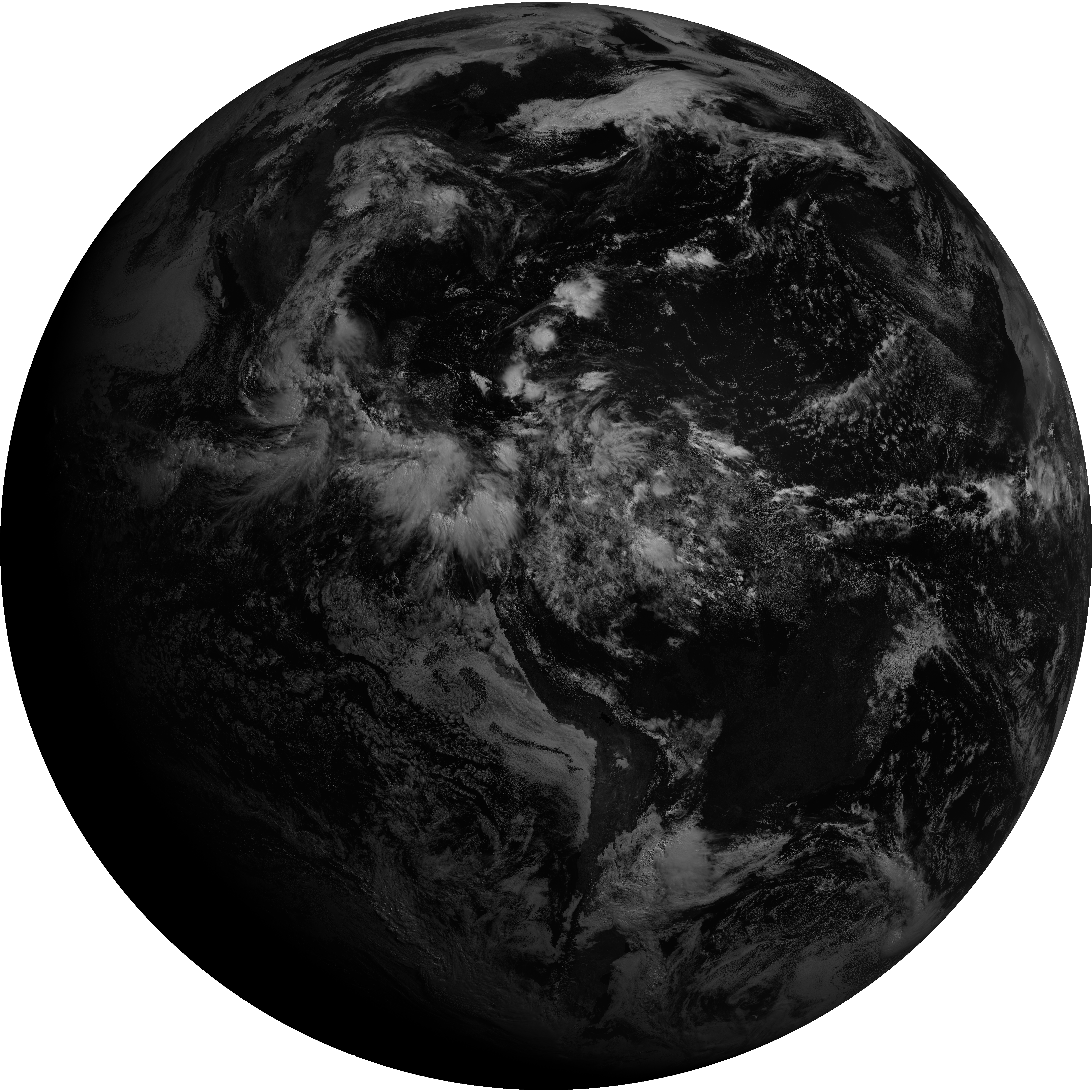
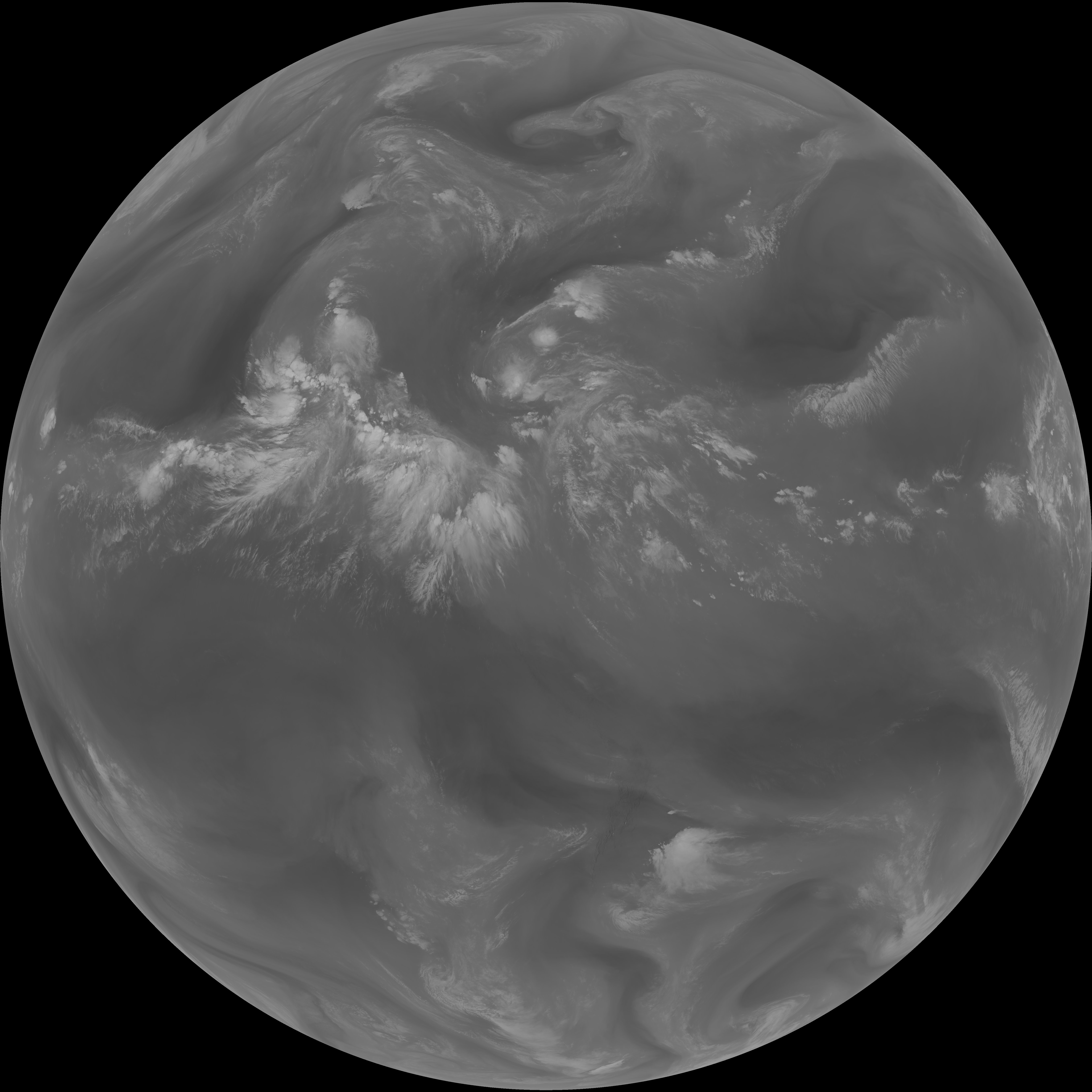
| G19_8_20260607T143021Z.png | 5688891 | 2026-Jun-07 14:53 |
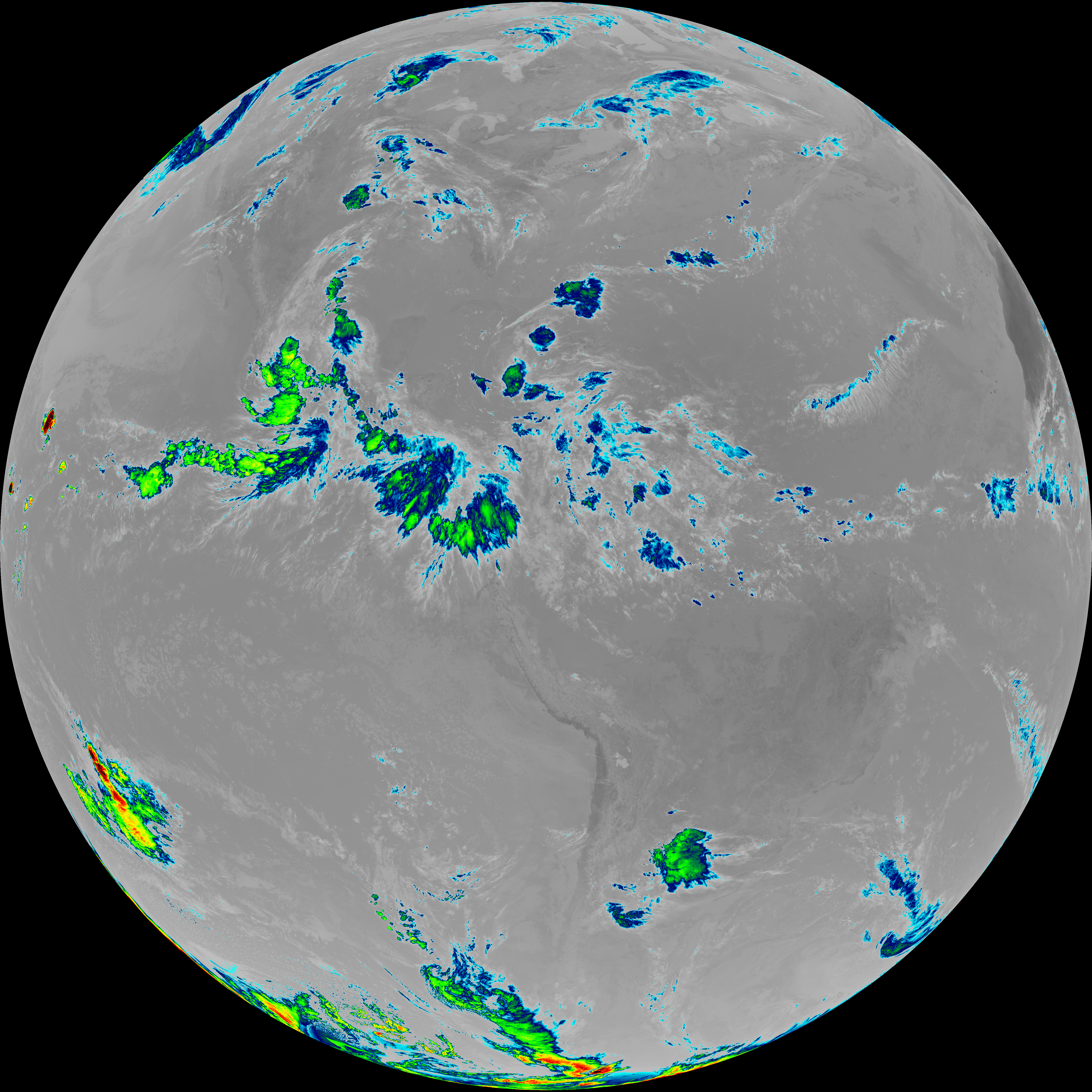
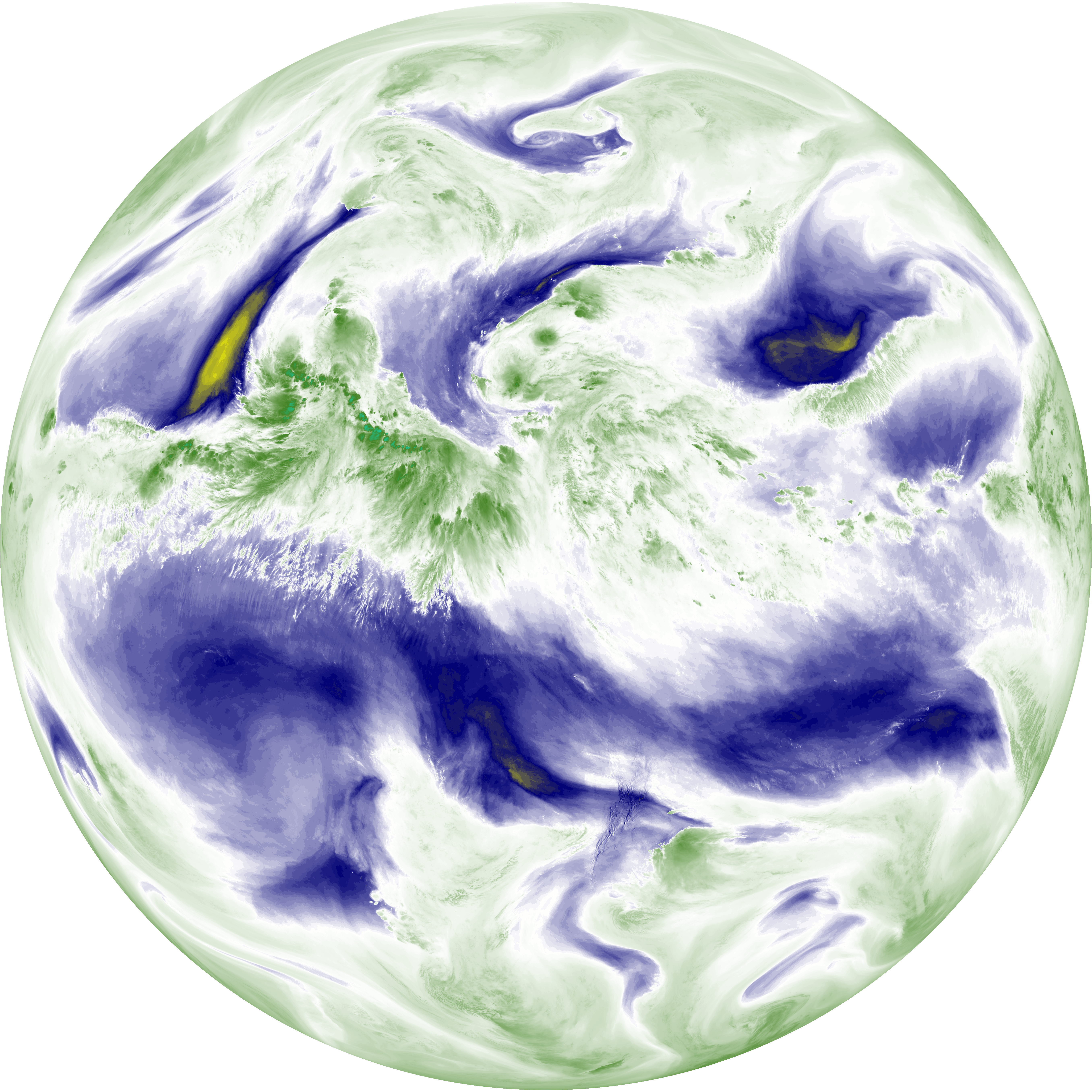
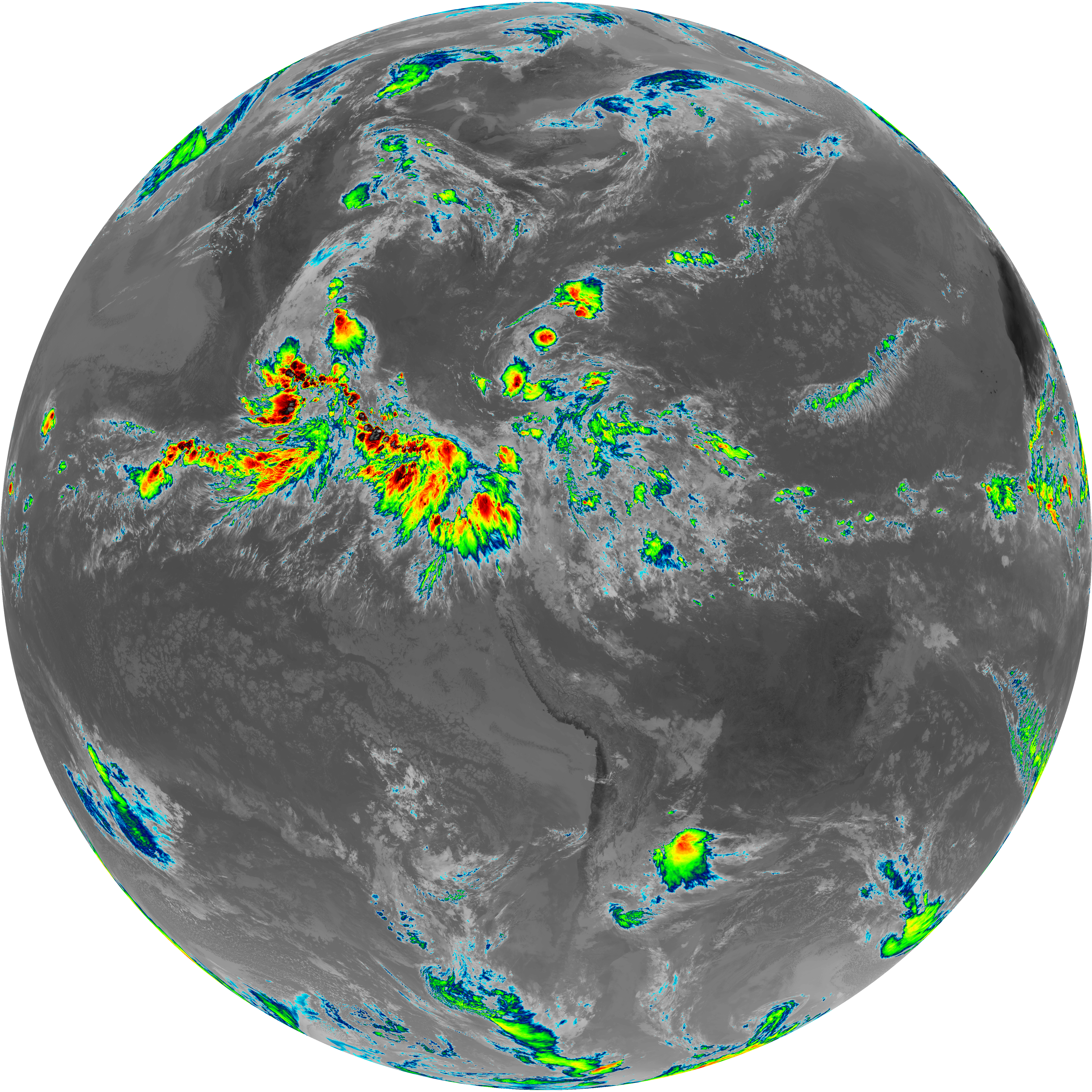
| abi_rgb_Upper-Level_Tropospheric_Water_Vapor.png | 7575763 | 2026-Jun-07 14:53 |
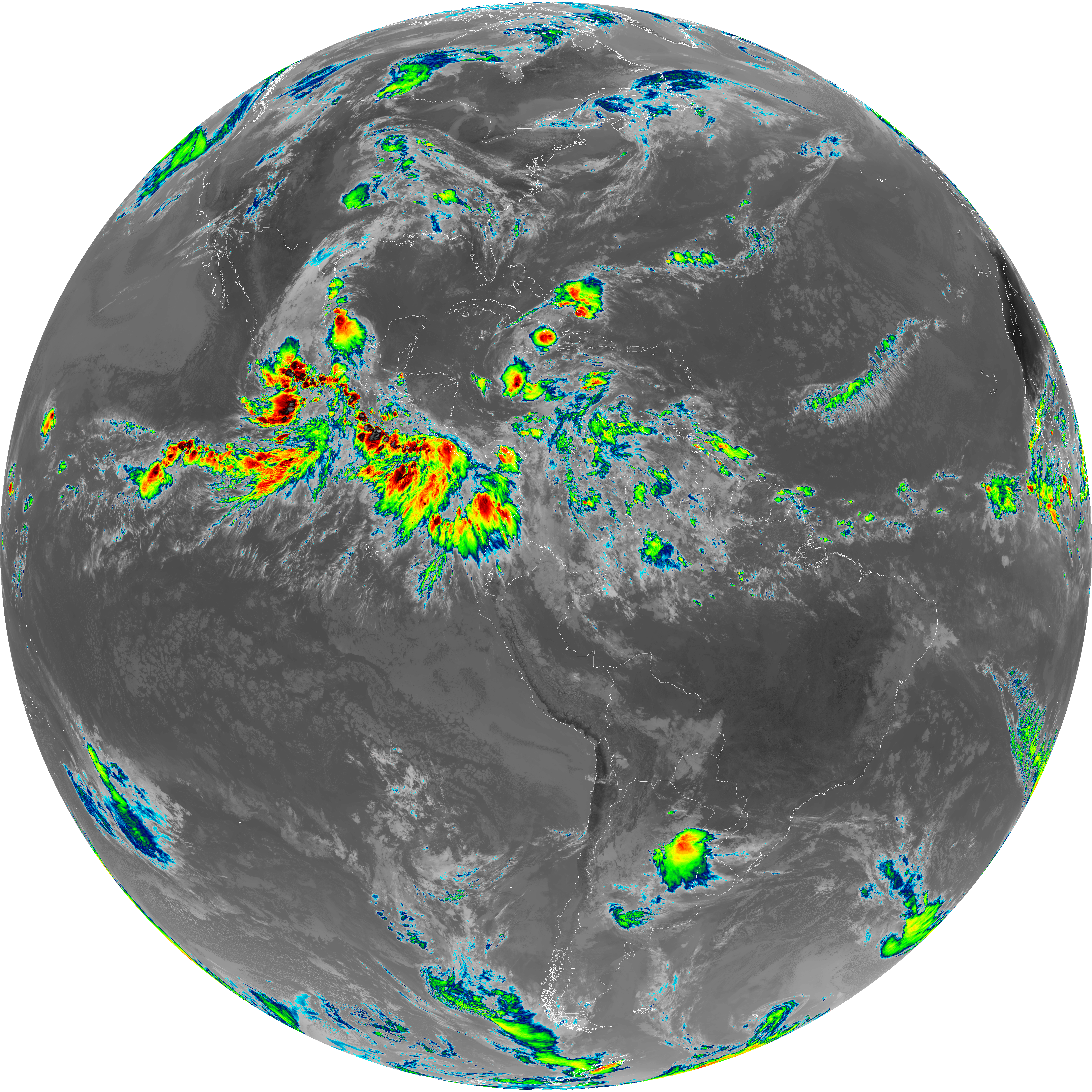
| abi_rgb_Upper-Level_Tropospheric_Water_Vapor_map.png | 7685809 | 2026-Jun-07 14:53 |
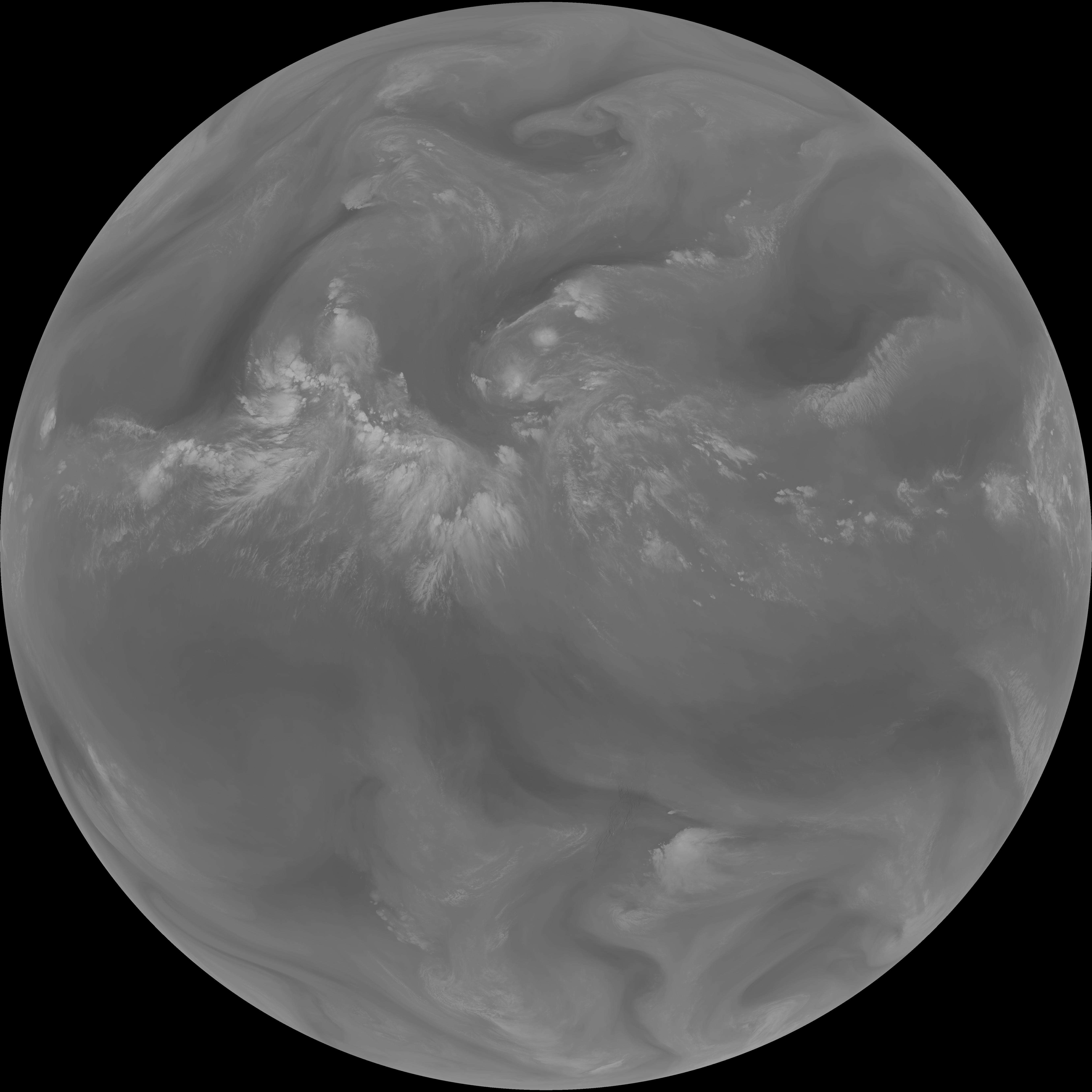
| G19_9_20260607T143021Z.png | 6549147 | 2026-Jun-07 14:55 |
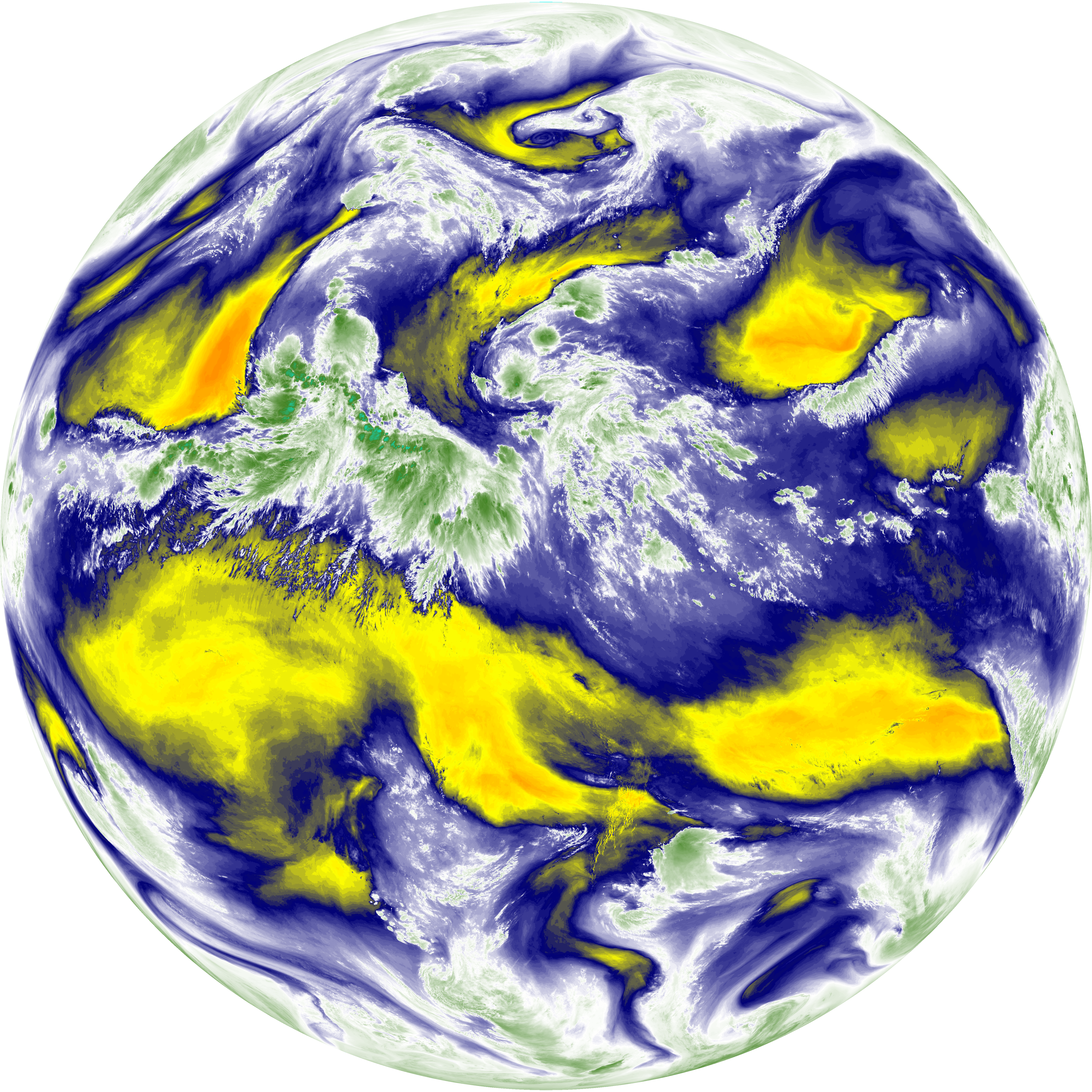
| abi_rgb_Mid-level_Tropospheric_Water_Vapor.png | 8773739 | 2026-Jun-07 14:55 |
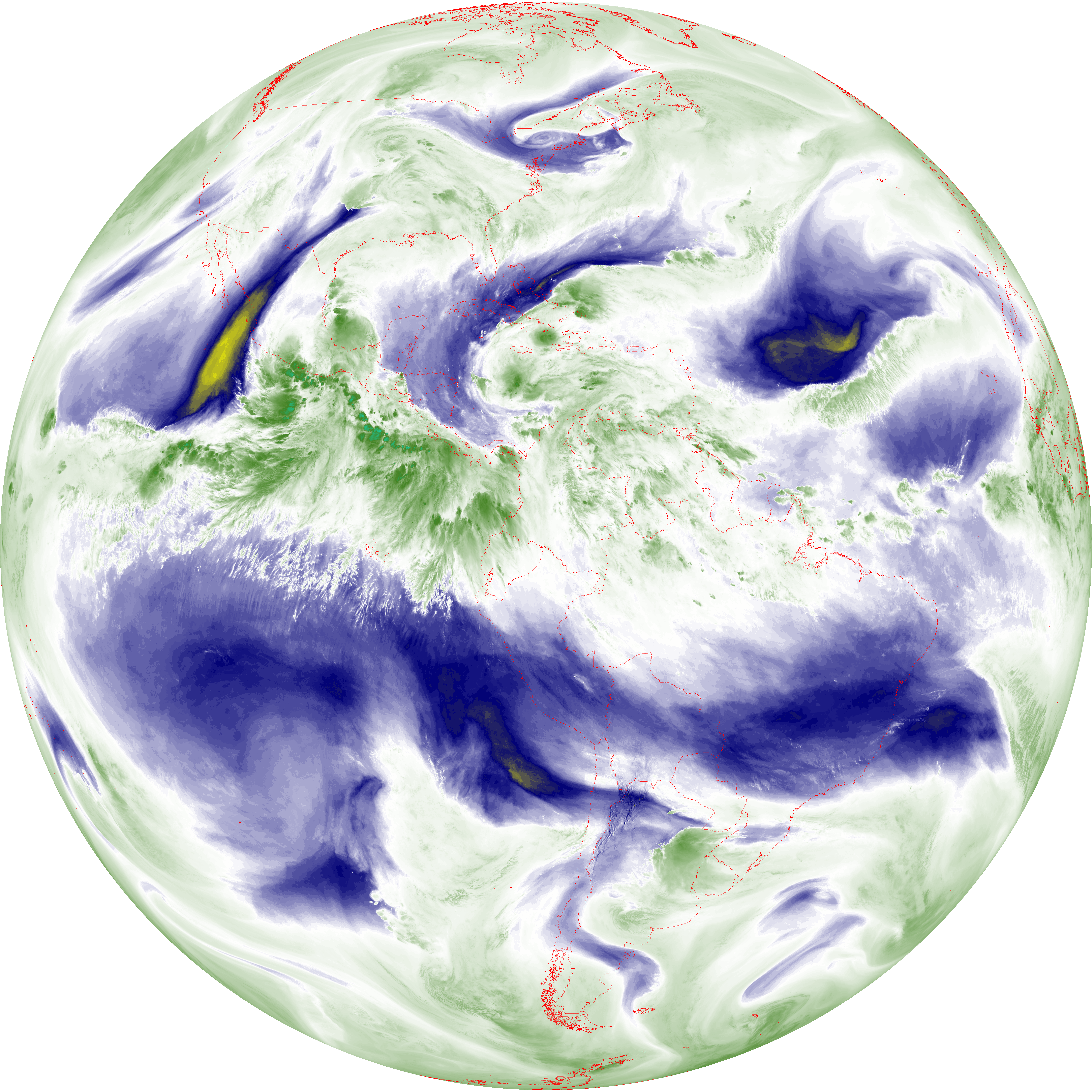
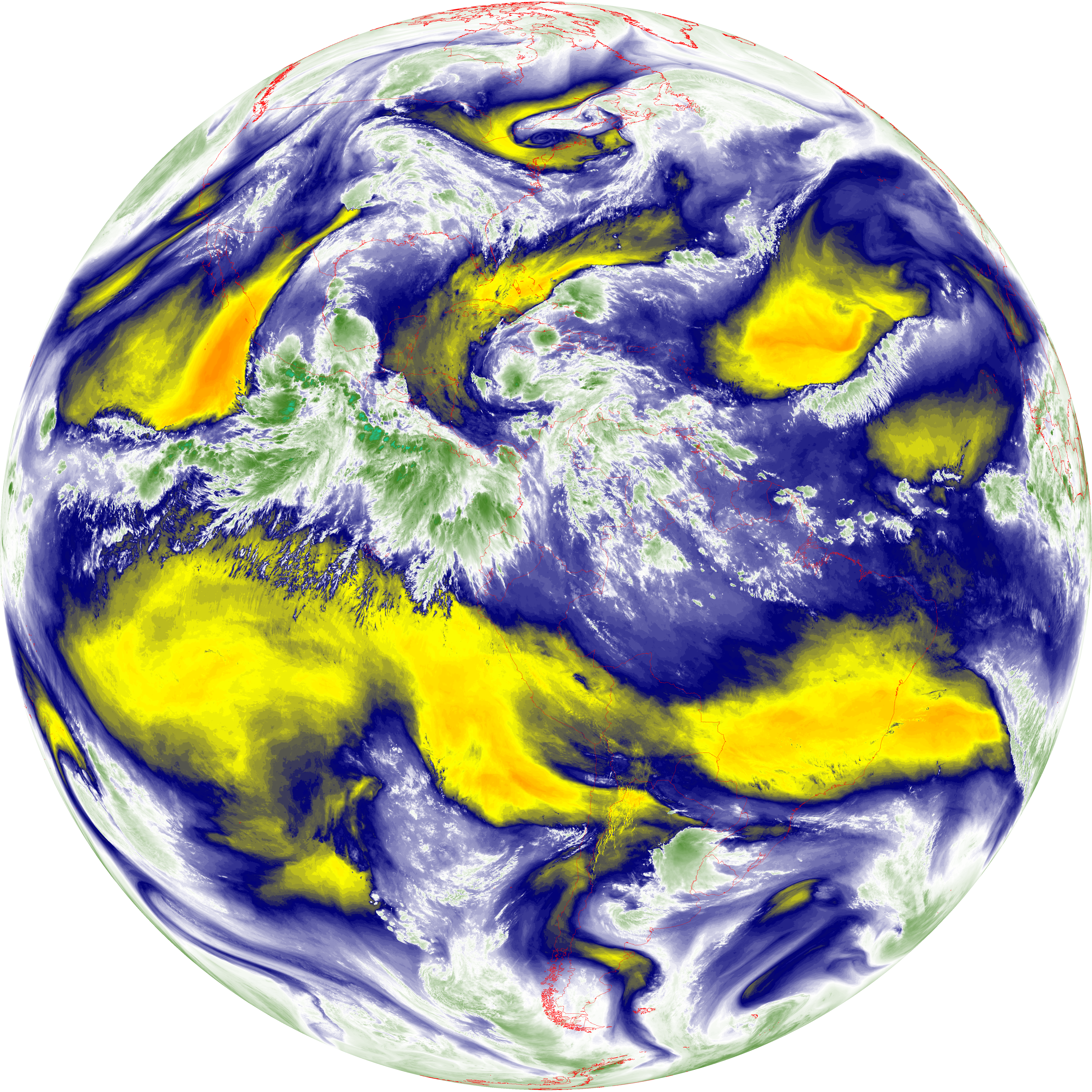
| abi_rgb_Mid-level_Tropospheric_Water_Vapor_map.png | 8873311 | 2026-Jun-07 14:55 |
| G19_14_20260607T143021Z.png | 10613322 | 2026-Jun-07 14:58 |
| abi_rgb_Infrared_Longwave_Window_Band.png | 14208609 | 2026-Jun-07 14:58 |
| abi_rgb_Infrared_Longwave_Window_Band_map.png | 14242338 | 2026-Jun-07 14:58 |
| G19_15_20260607T143021Z.png | 9131439 | 2026-Jun-07 15:29 |
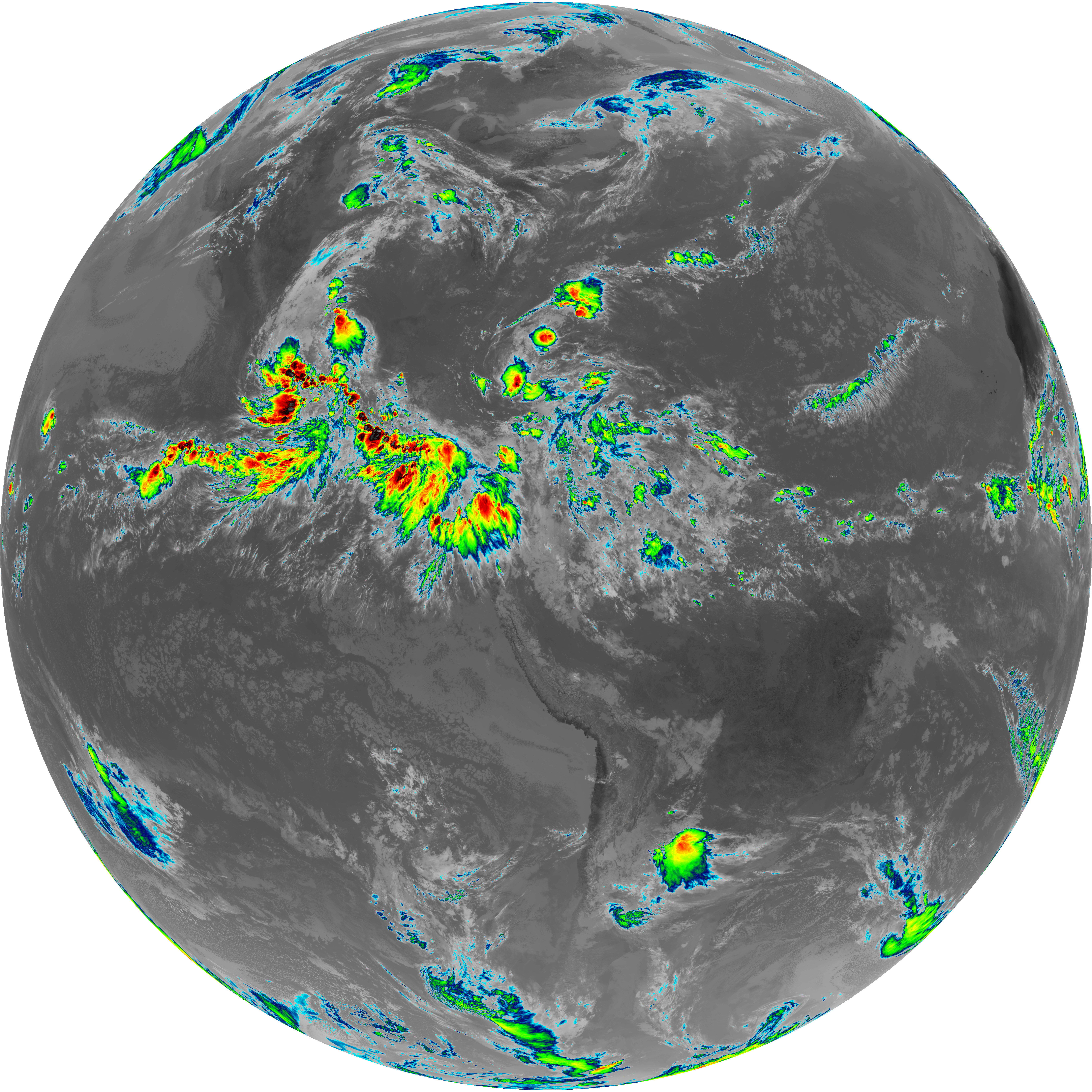
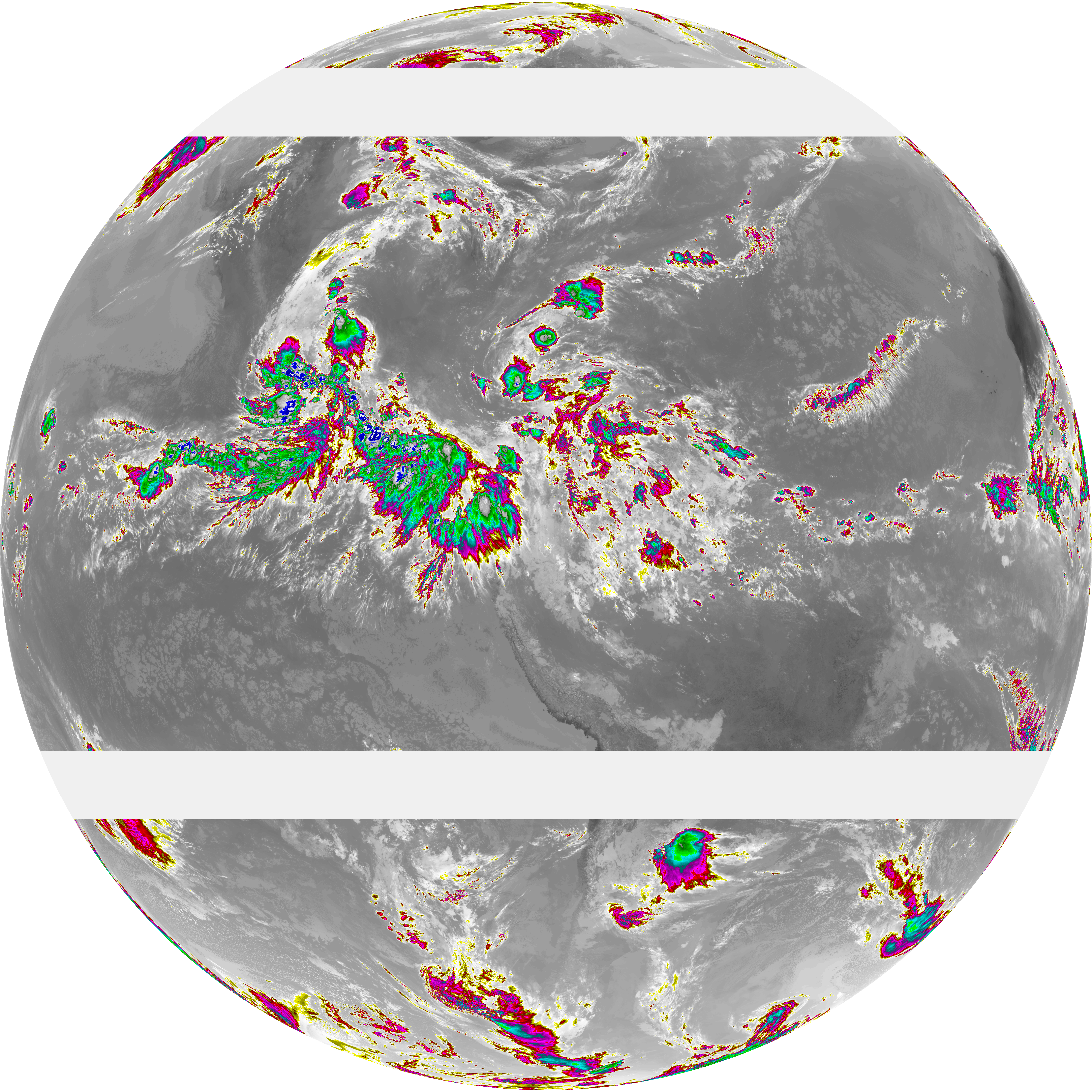
| abi_rgb_Dirty_Longwave_Window.png | 12296586 | 2026-Jun-07 15:29 |
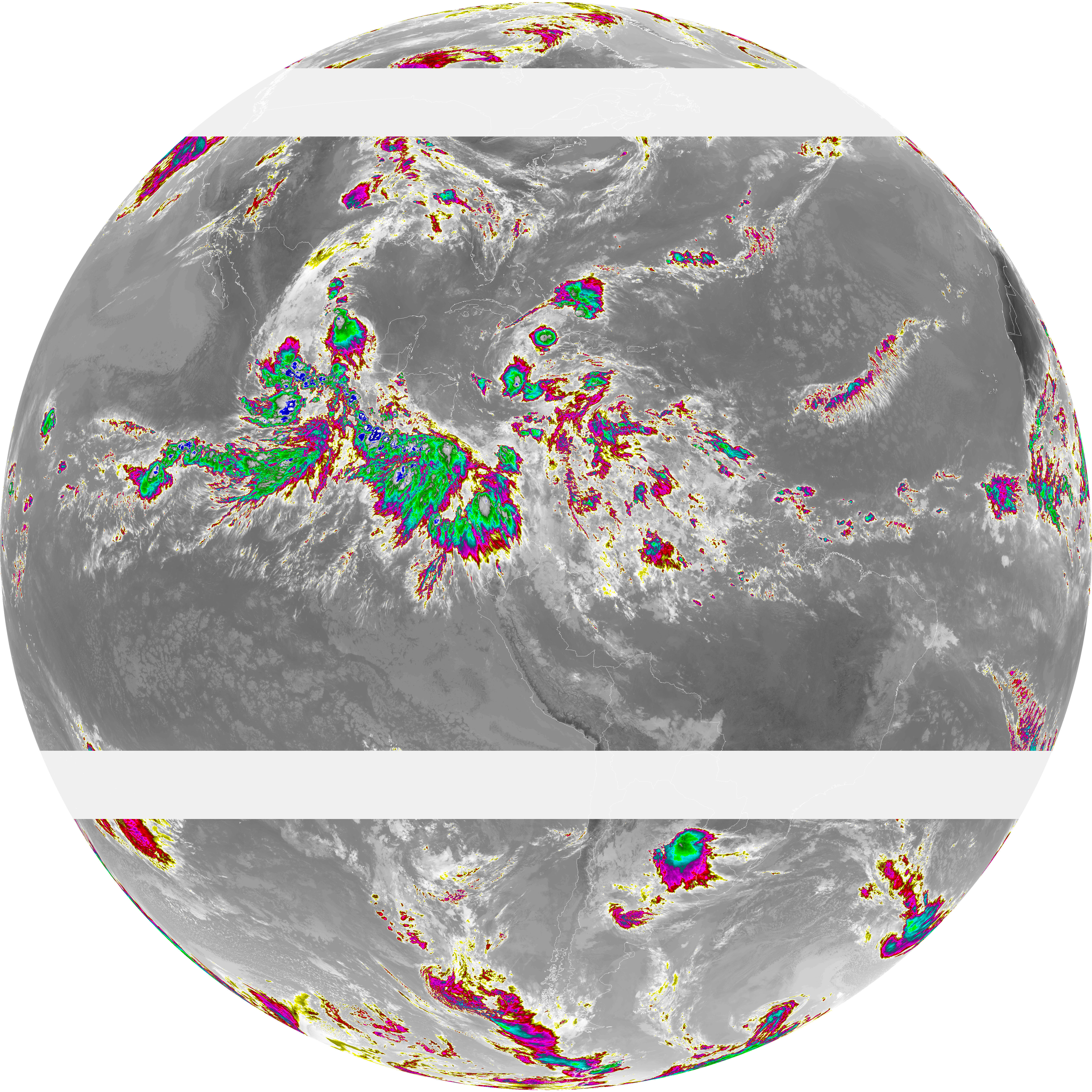
| abi_rgb_Dirty_Longwave_Window_map.png | 12353771 | 2026-Jun-07 15:29 |
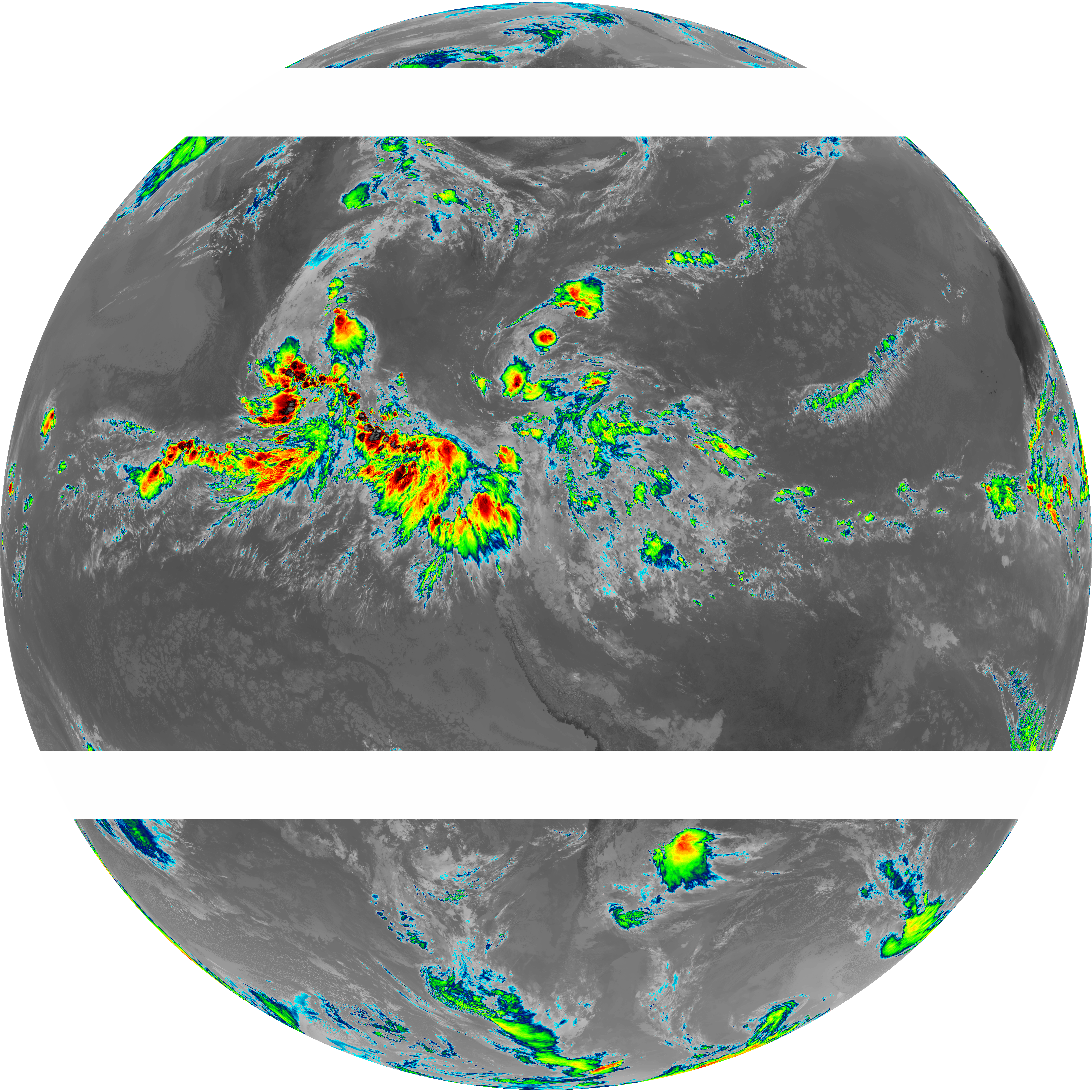
| abi_rgb_Dirty_Longwave_Window_-_CIRA.png | 10845117 | 2026-Jun-07 15:29 |
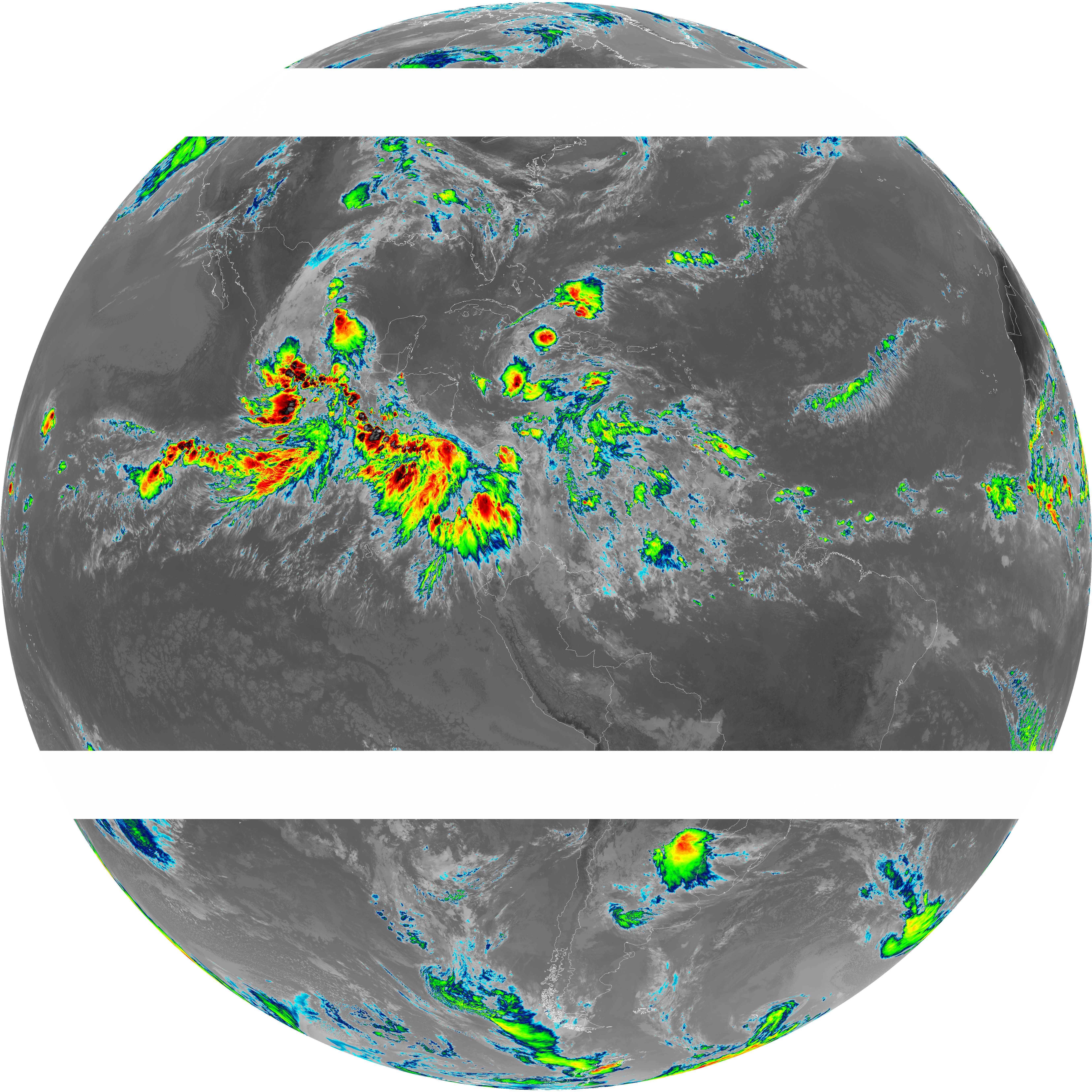
| abi_rgb_Dirty_Longwave_Window_-_CIRA_map.png | 10913832 | 2026-Jun-07 15:29 |